Grandma Howard and Alex Rowan – thanks for the letters.
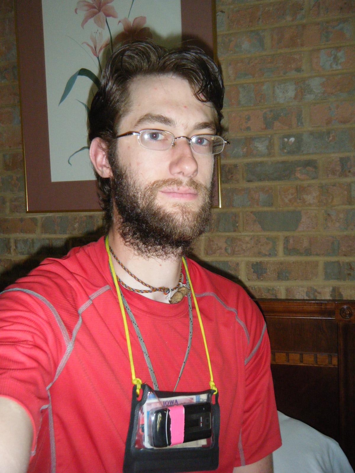
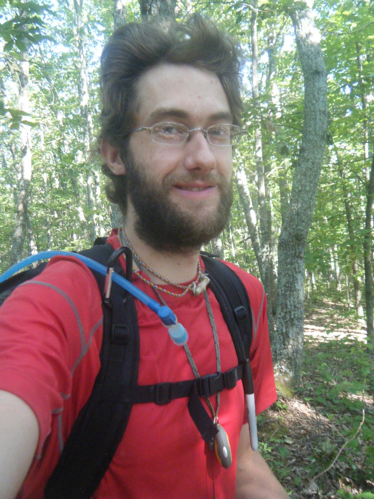
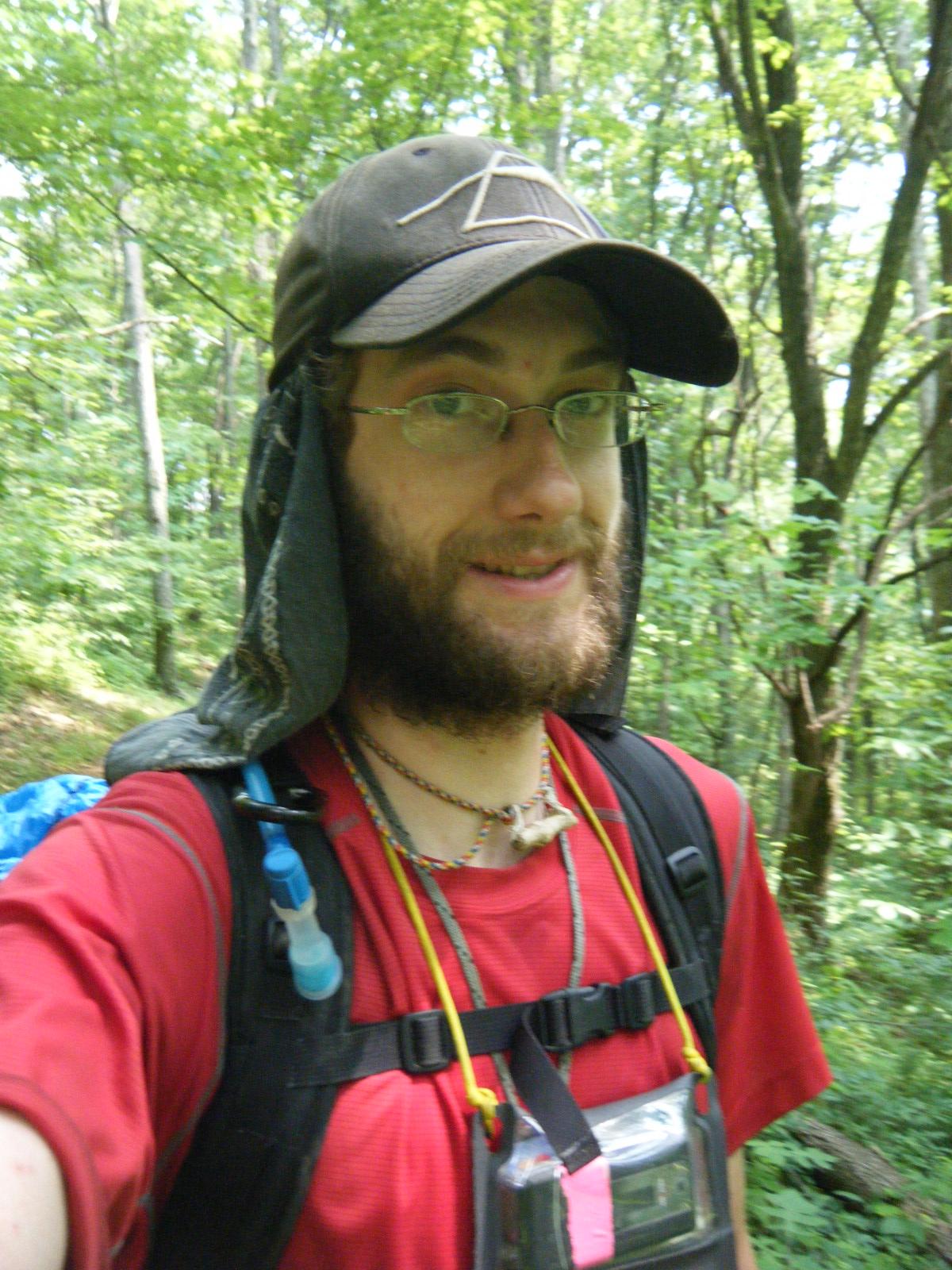
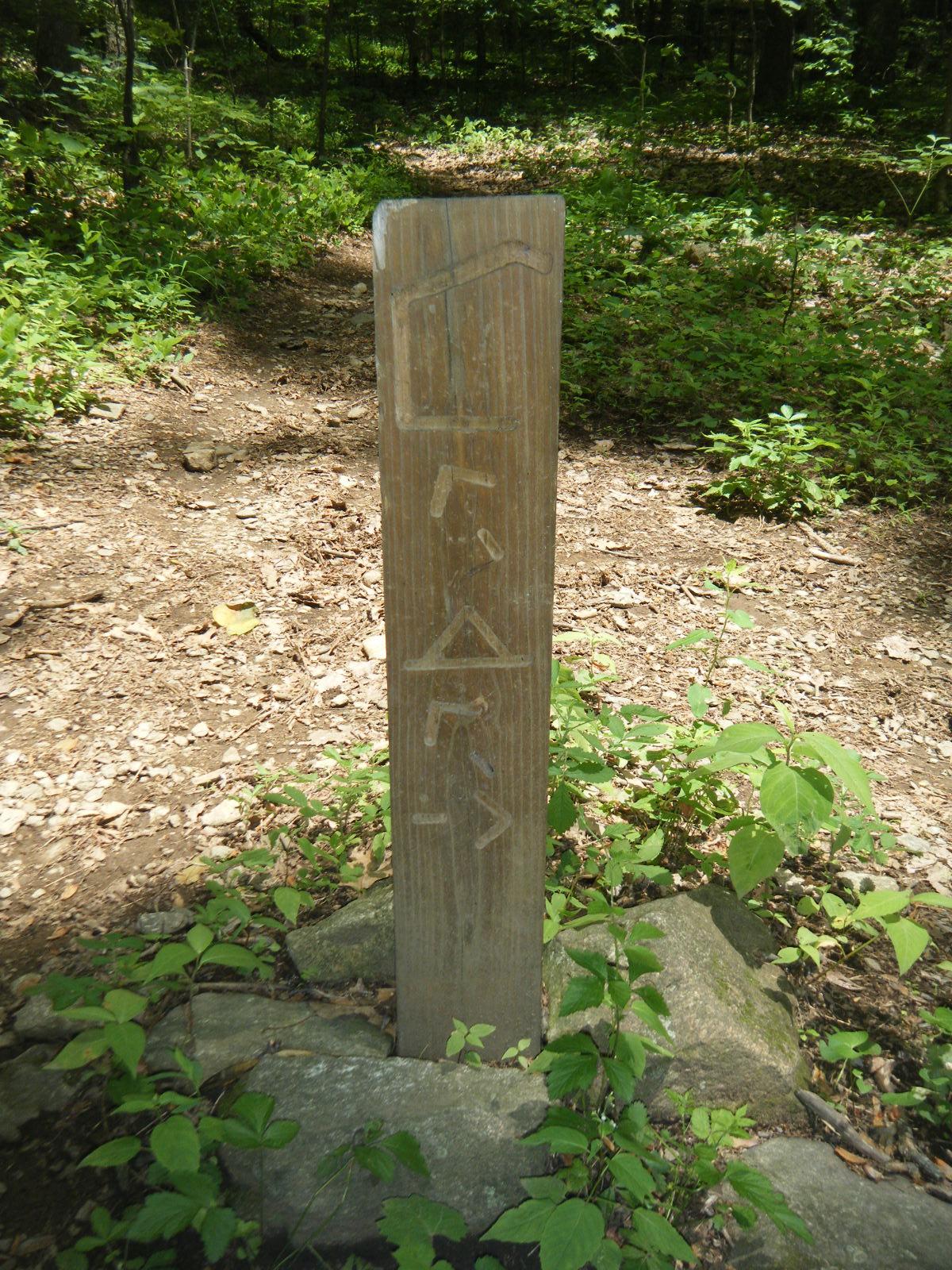
It took me forever to get out of Daleville. The 2-mile round trip to the post office didn’t help (I did get my replacement camera battery, though). Also, I kept remembering one more thing I had to do before I left town. Acquiring stove fuel proved ridiculously problematic. I checked three separate gas stations for the fuel additive HEET, and none carried it. I knew the outfitter sold denatured alcohol by the ounce, but I didn’t want to walk over to that strip mall *again*, and I remembered seeing a bottle of 91% isopropyl in a hiker box at the hotel, so I picked that up instead (my stove burns any alcohol-based fuel). About 20 seconds later, the bottle started leaking rubbing alcohol everywhere, so I chucked it in the garbage and trekked to the outfitter for denatured alcohol. While at the outfitter I overheard two guys ask the clerk “Are there any trails in the area?”, to which I interjected “I know of a good one just down the road.” I showed the kids to the trailhead and gave them directions to Hay Rock for their day hike. Finally, around 2:00pm, I left town.
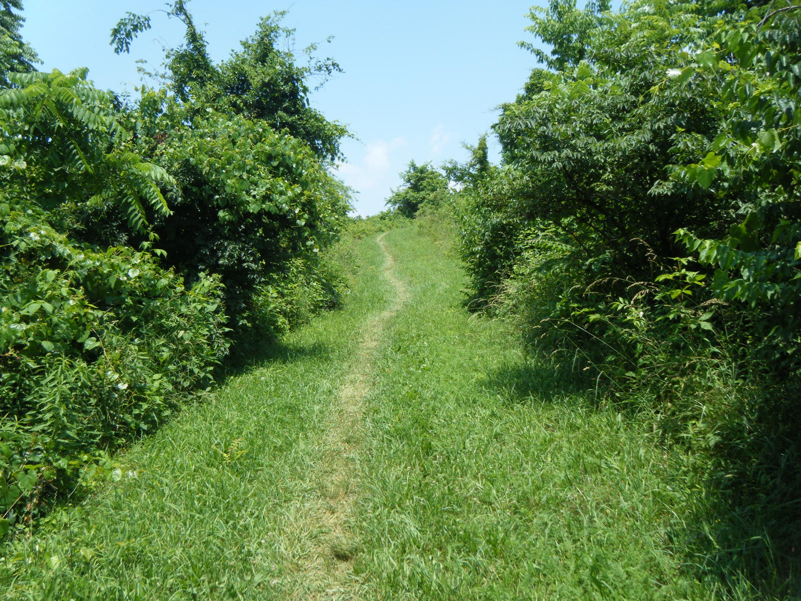
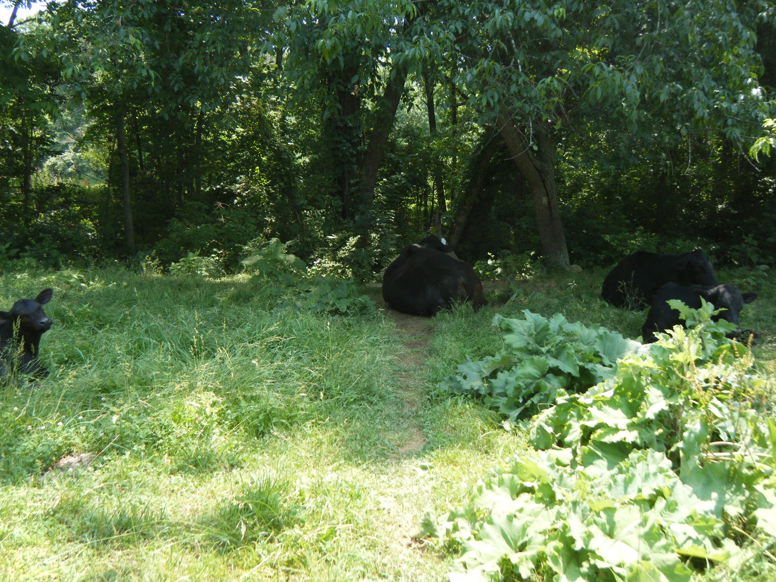
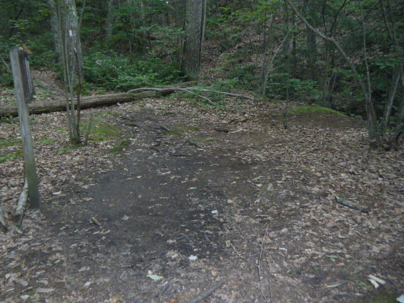
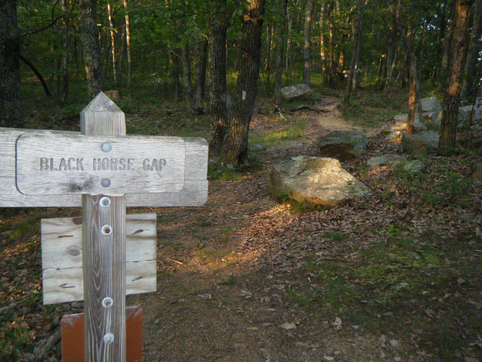
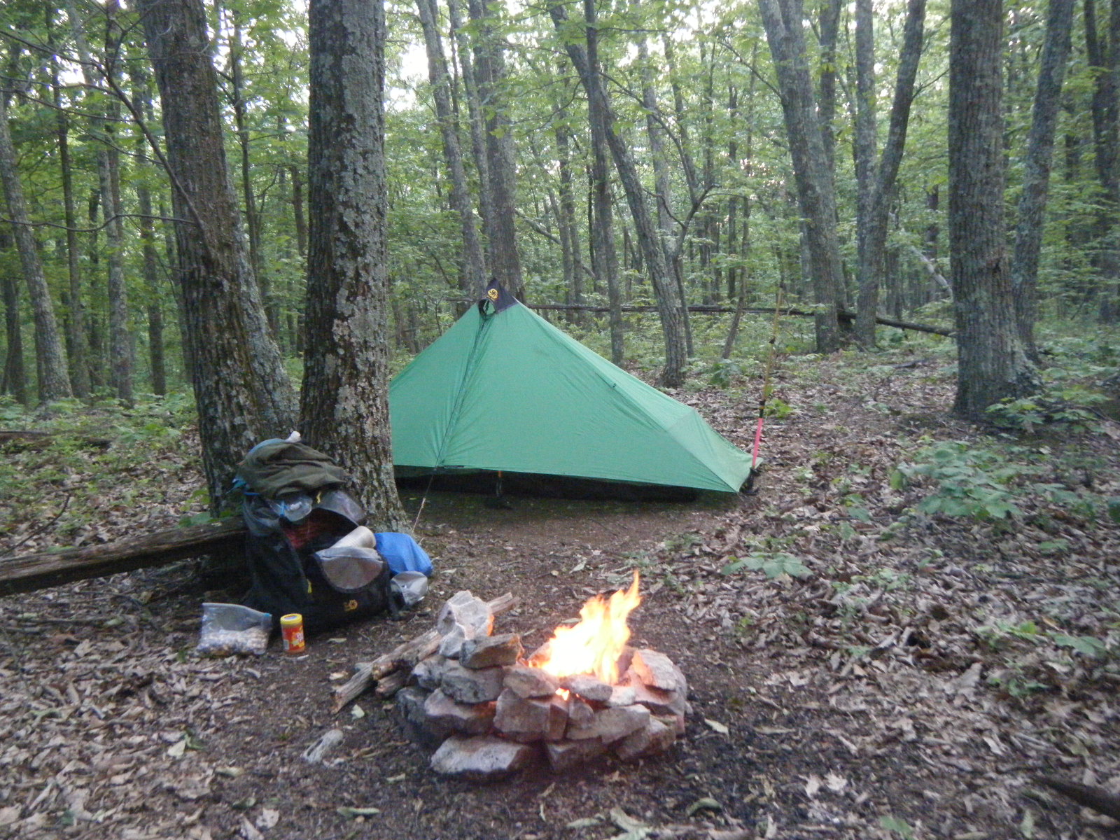
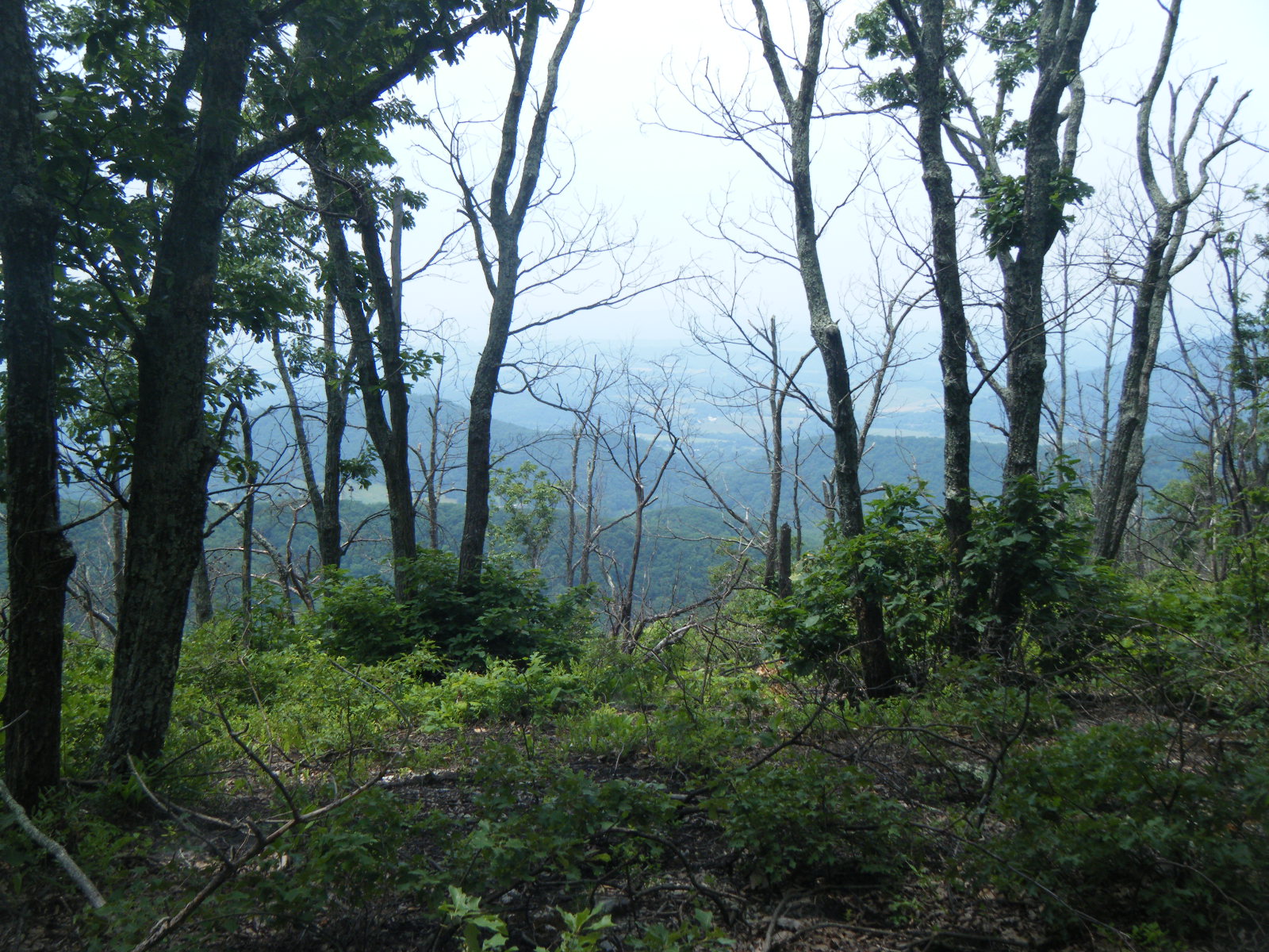
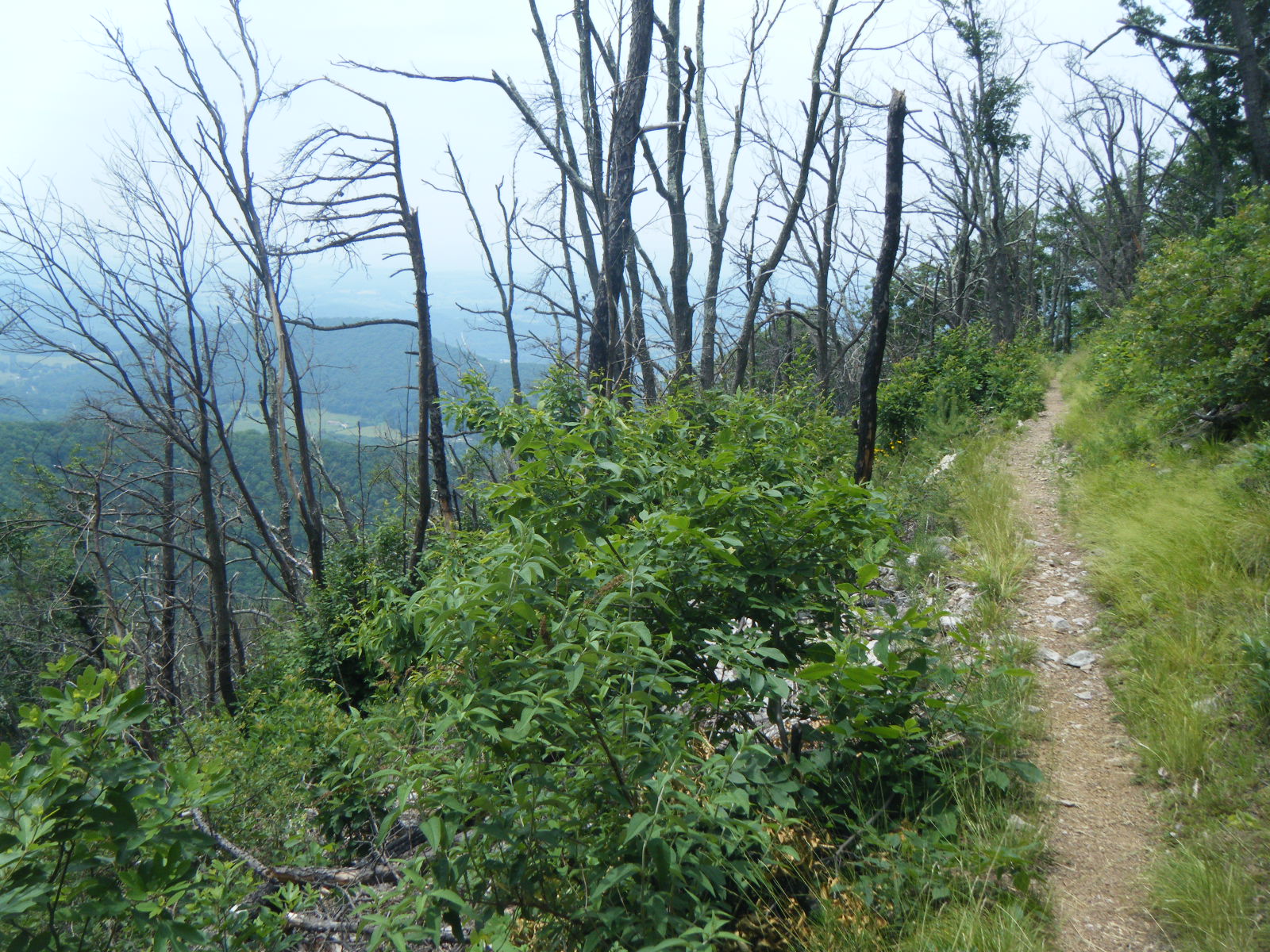
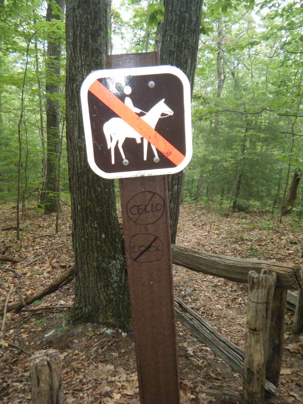
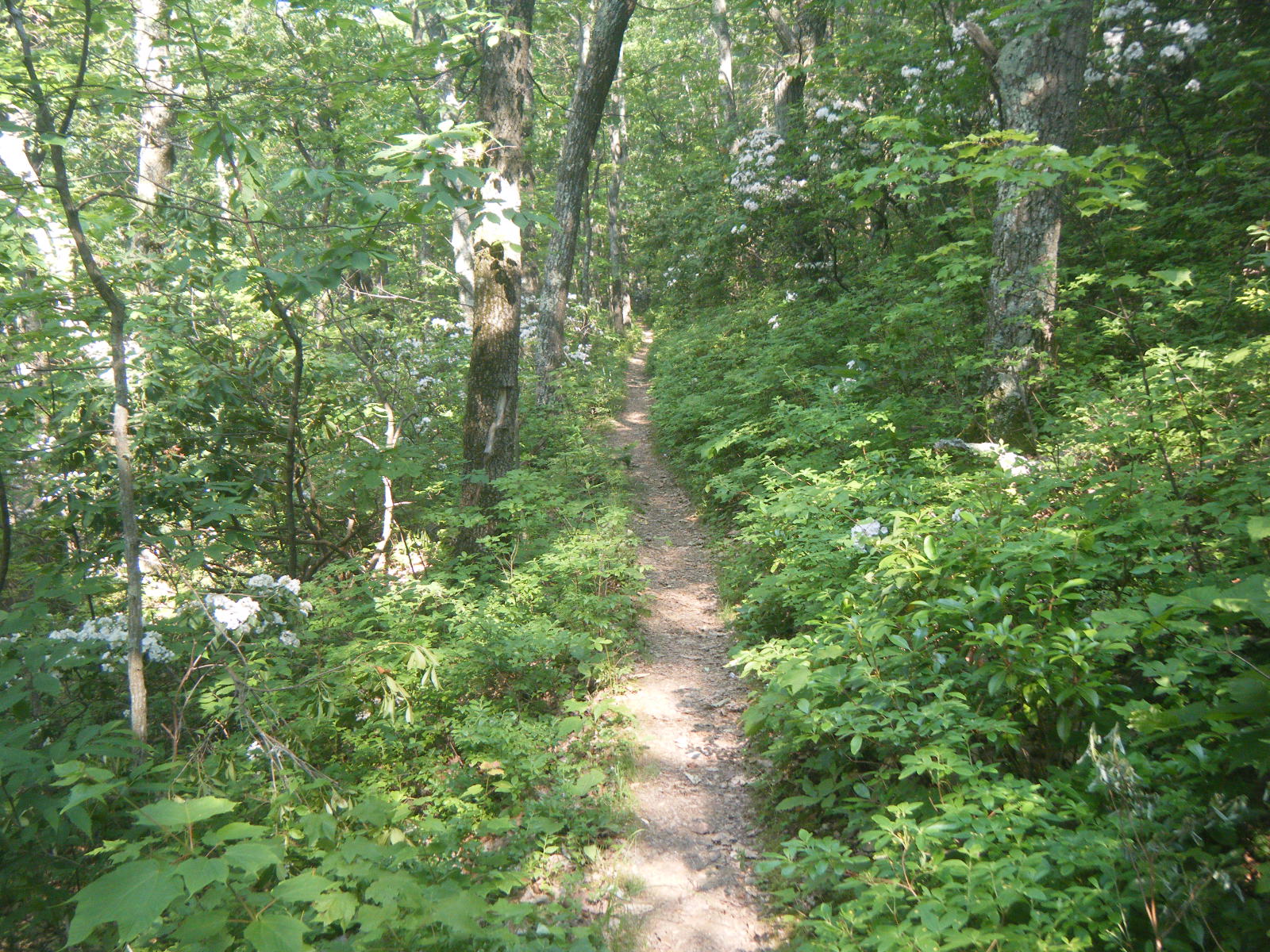
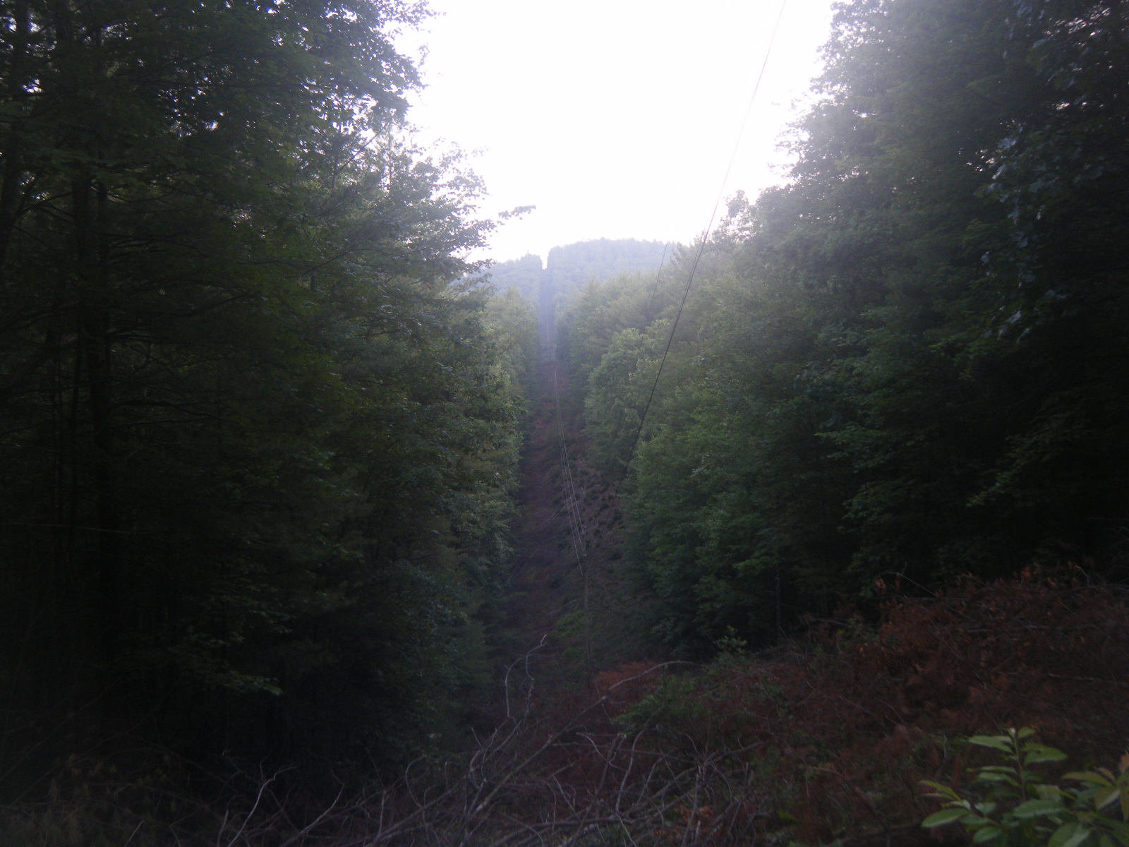
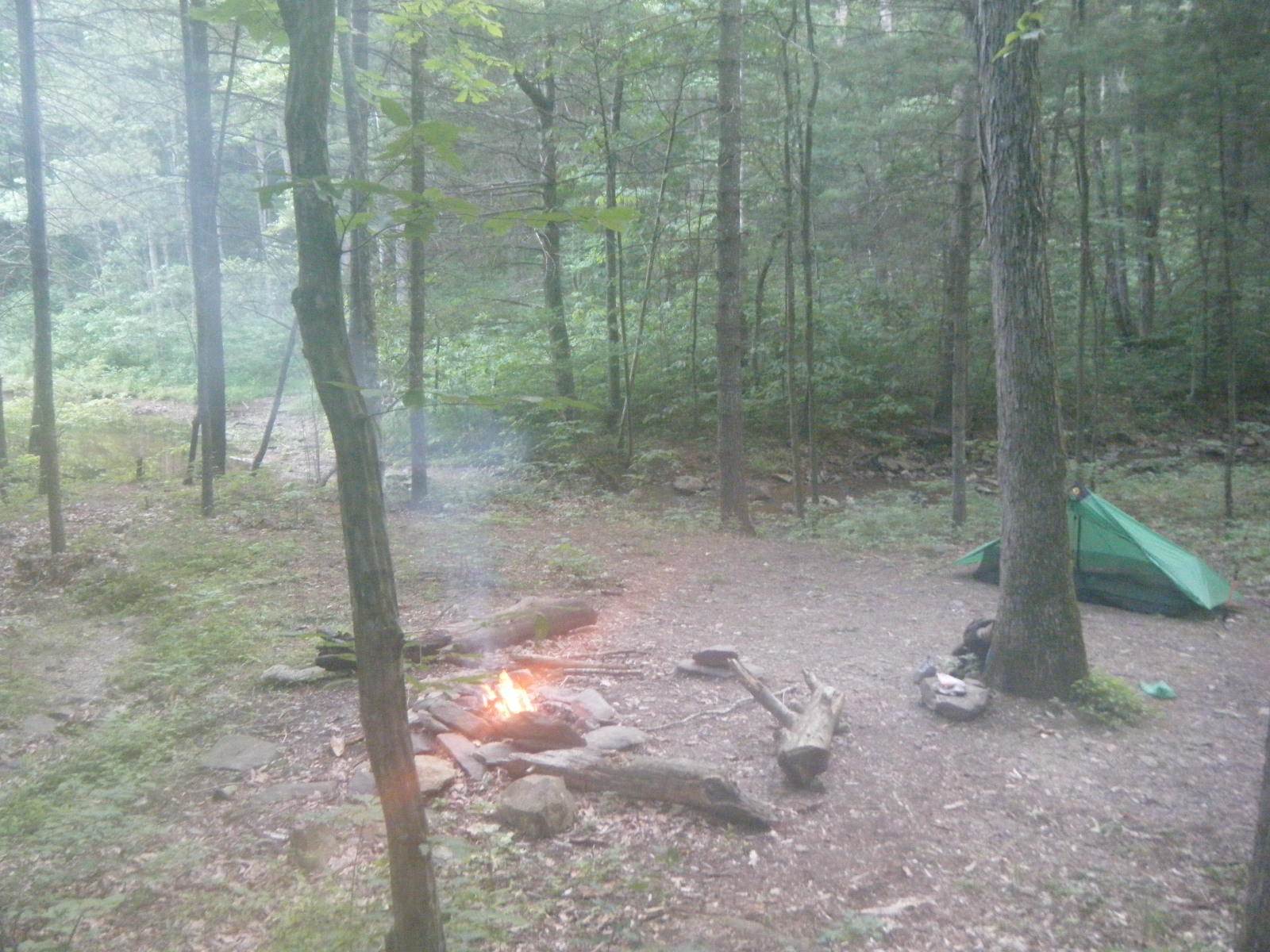
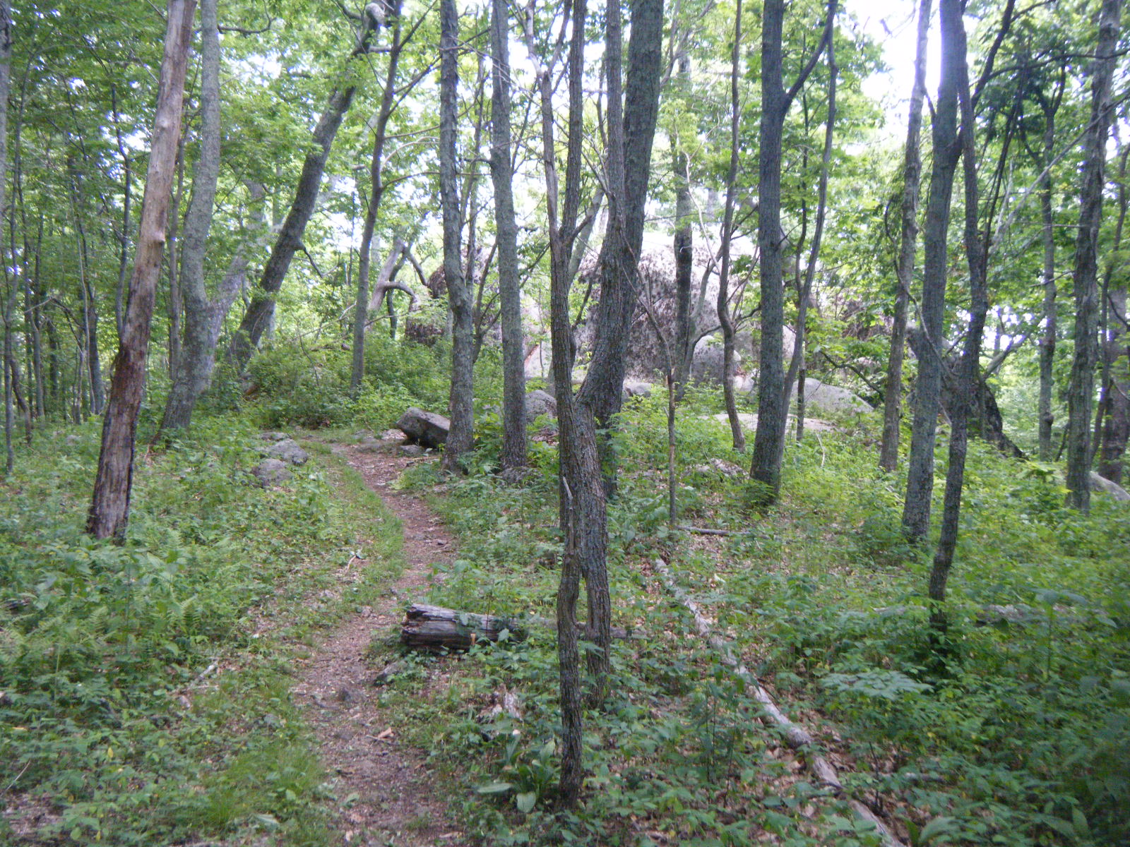
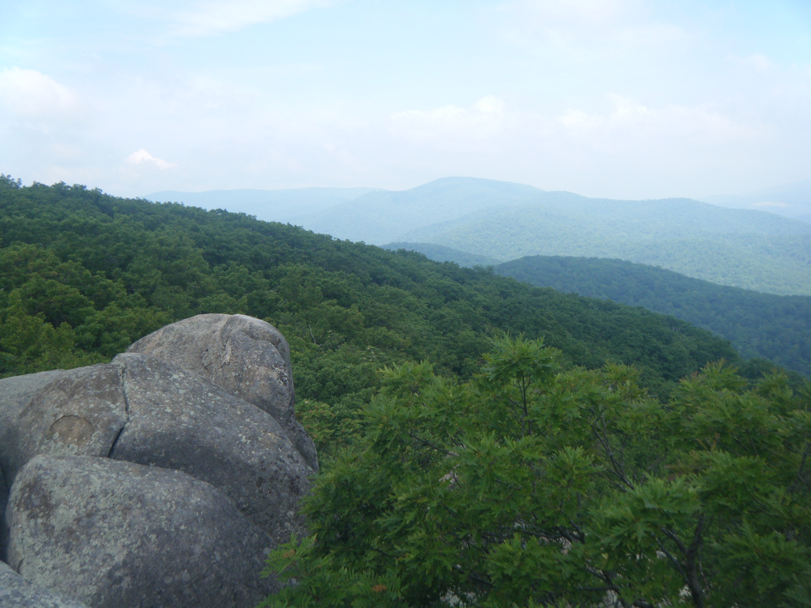
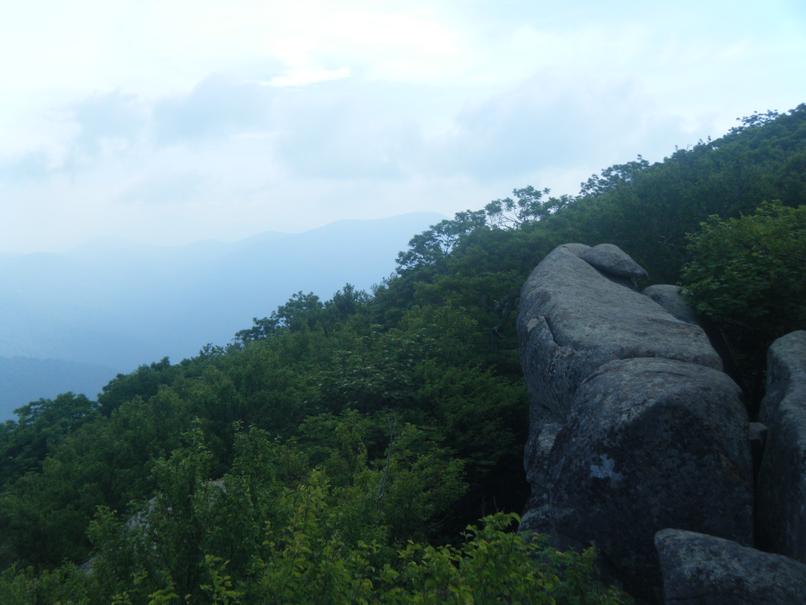
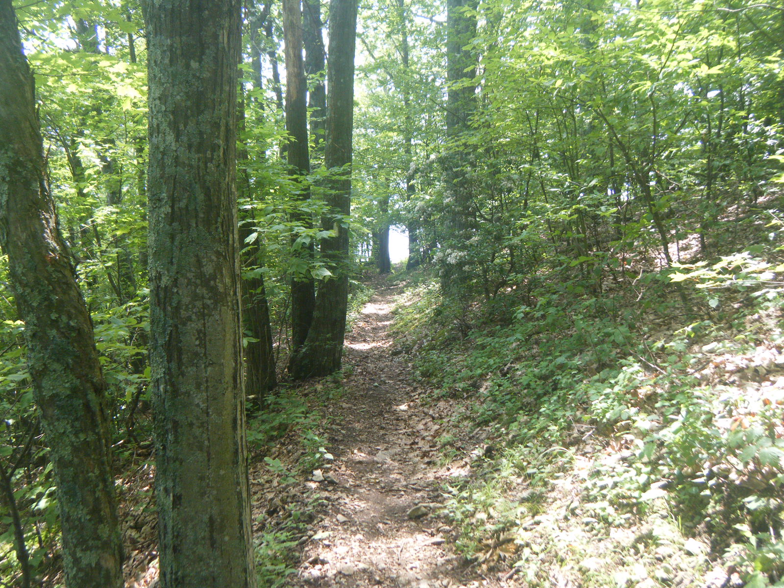
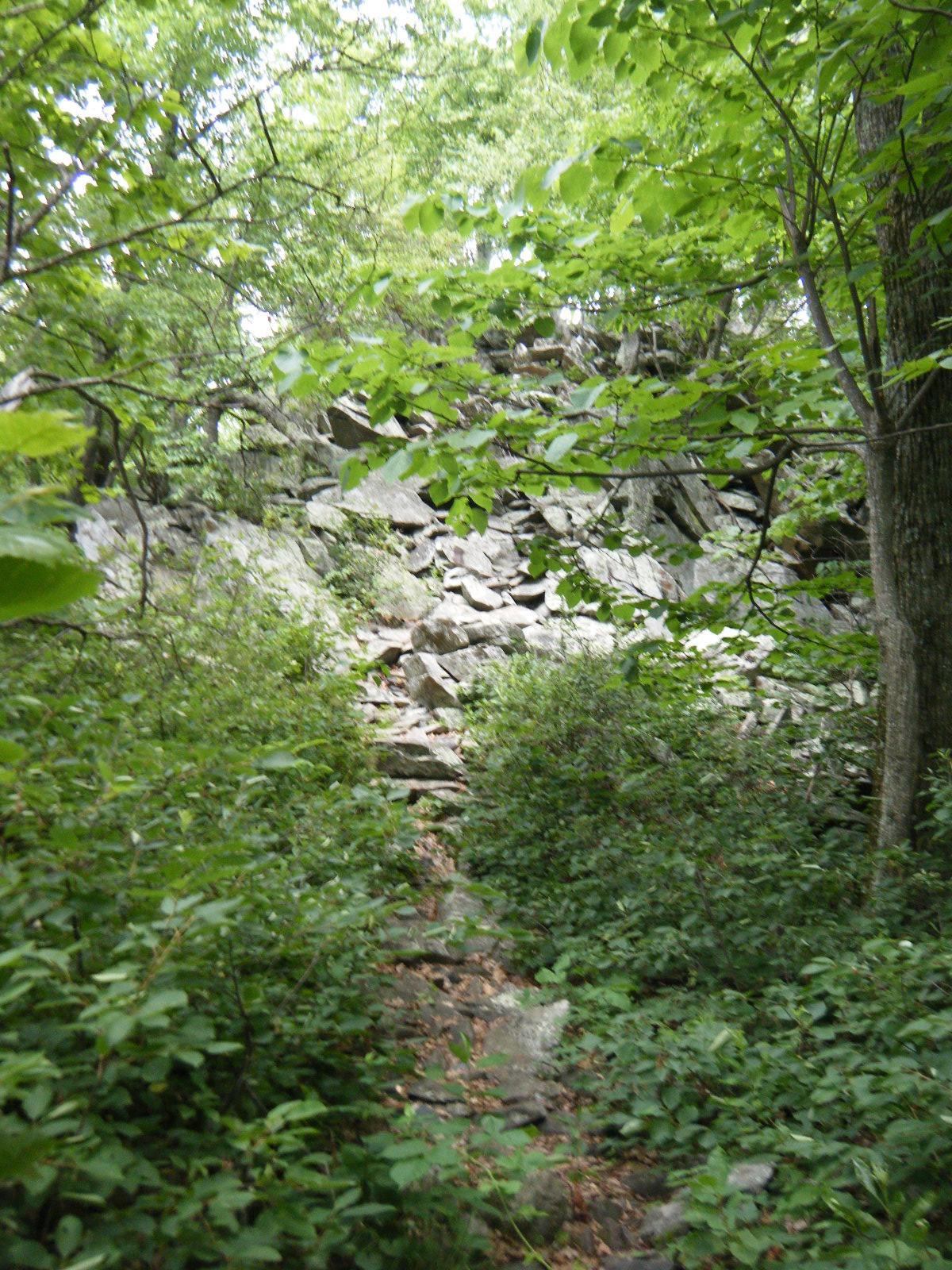
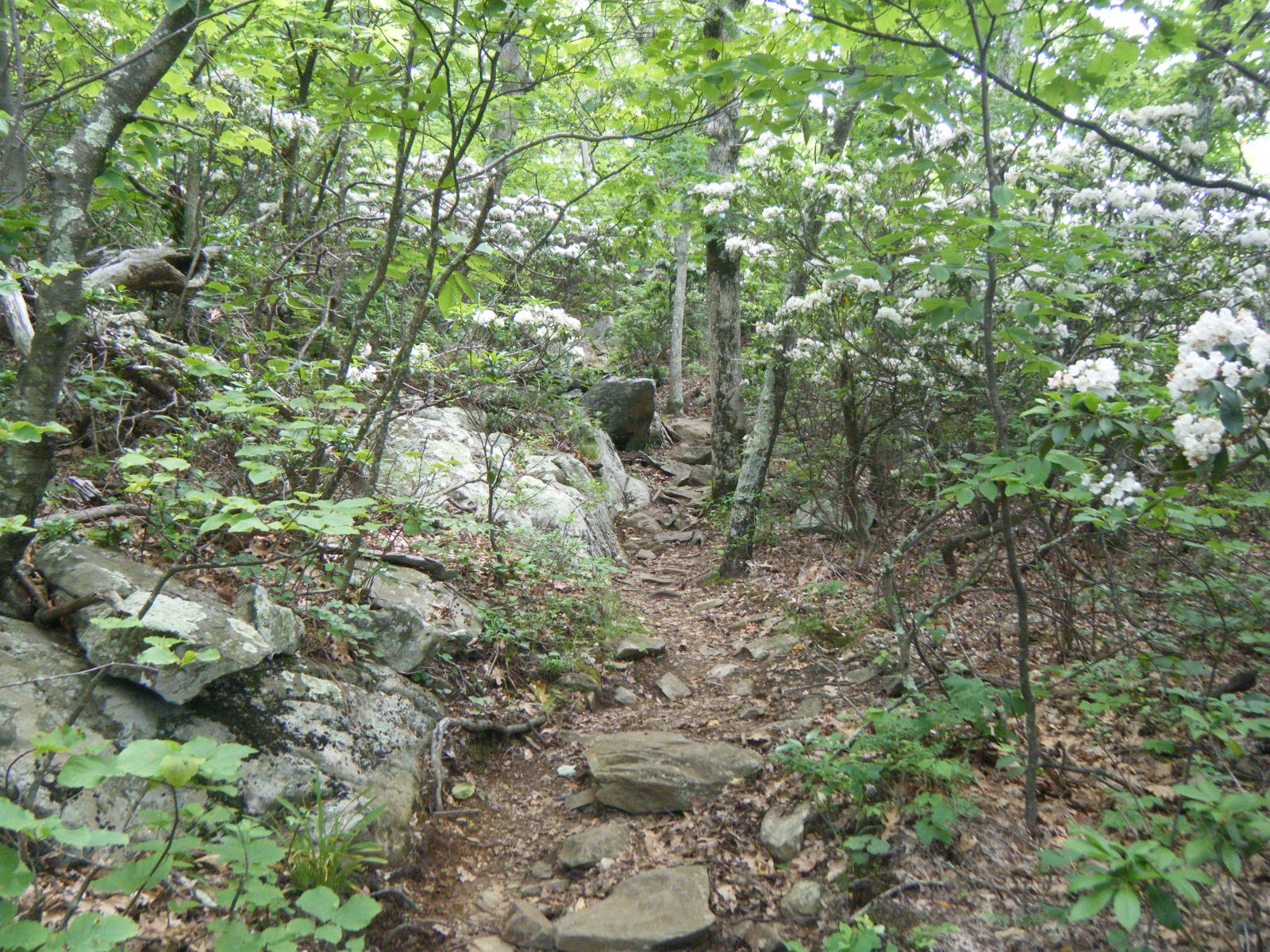
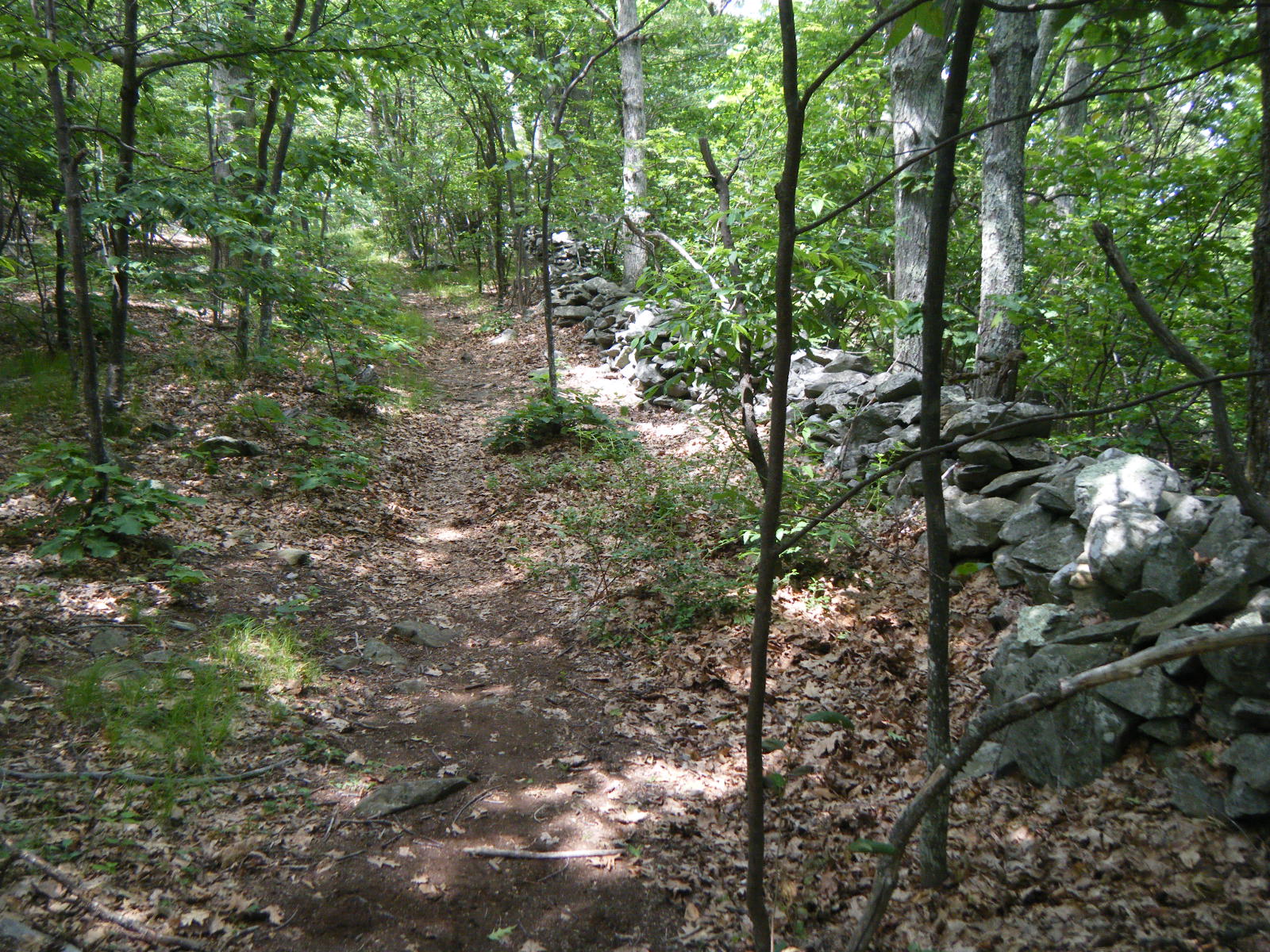
So on Monday June 6, I hiked out of Daleville. About 5 miles in I stopped to break at Fullhardt Knob Shelter. This shelter is interesting because it has no natural water source, but it does have gutters that drain into a cistern behind the shelter. If it’s rained recently, you can draw water from the cistern using the pipe just downhill of the shelter. It’s an interesting idea, unfortunately it was empty when I showed up and it sounds like even when there is water, it’s pretty brown since it’s roof runoff and the roof is cedar shingles. It sprinkled a bit while I was at the shelter, though not enough to fill the cistern. I waited for the rain to stop then continued on to Wilson Creek Shelter for another break. Again, once I was in the shelter it rained for a bit. I seem to have a knack for barely avoiding rain. I filled up on water and hiked to the top of the ridge, just past Blackhorse Gap, and tented in a very rocky area atop the ridge. I had a nice breeze to keep the temperature down, and I started a campfire. It was pleasant. I couldn’t find a suitable rock for throwing a bear line, so I wrapped my peanut butter jar in my bandana and used that as weight to throw the rope, and I missed, and my the lid to the jar shattered as it landed on a stone around my fire pit. I cleaned up the bandana as best I could and taped the peanut butter closed, then finished bear-bagging. When I returned, the bandana was infested with ants and apparently a swarm of cockroaches live atop this mountain as well. Also, a plague of grasshoppers were assaulting my tent. Once I was inside the tent, safe behind bugnet, I continued to have a very pleasant evening, and slept beautifully.
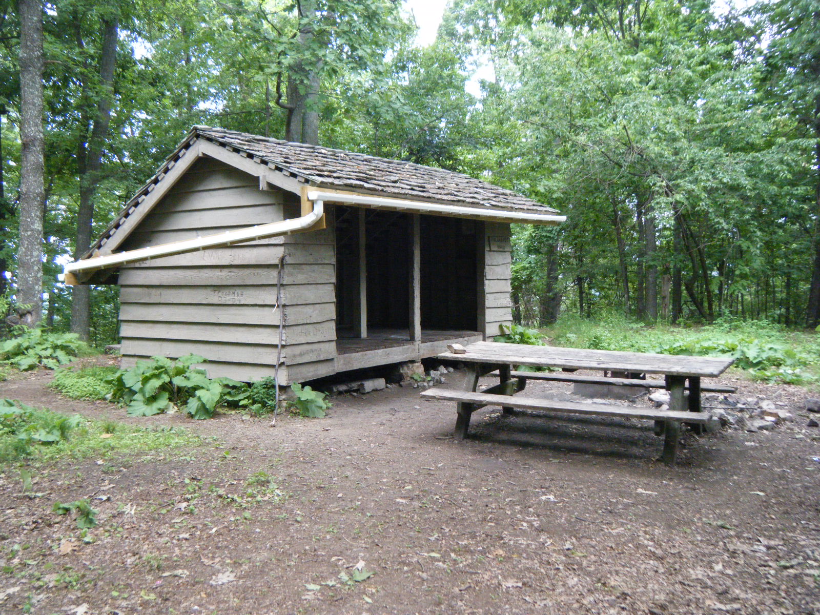
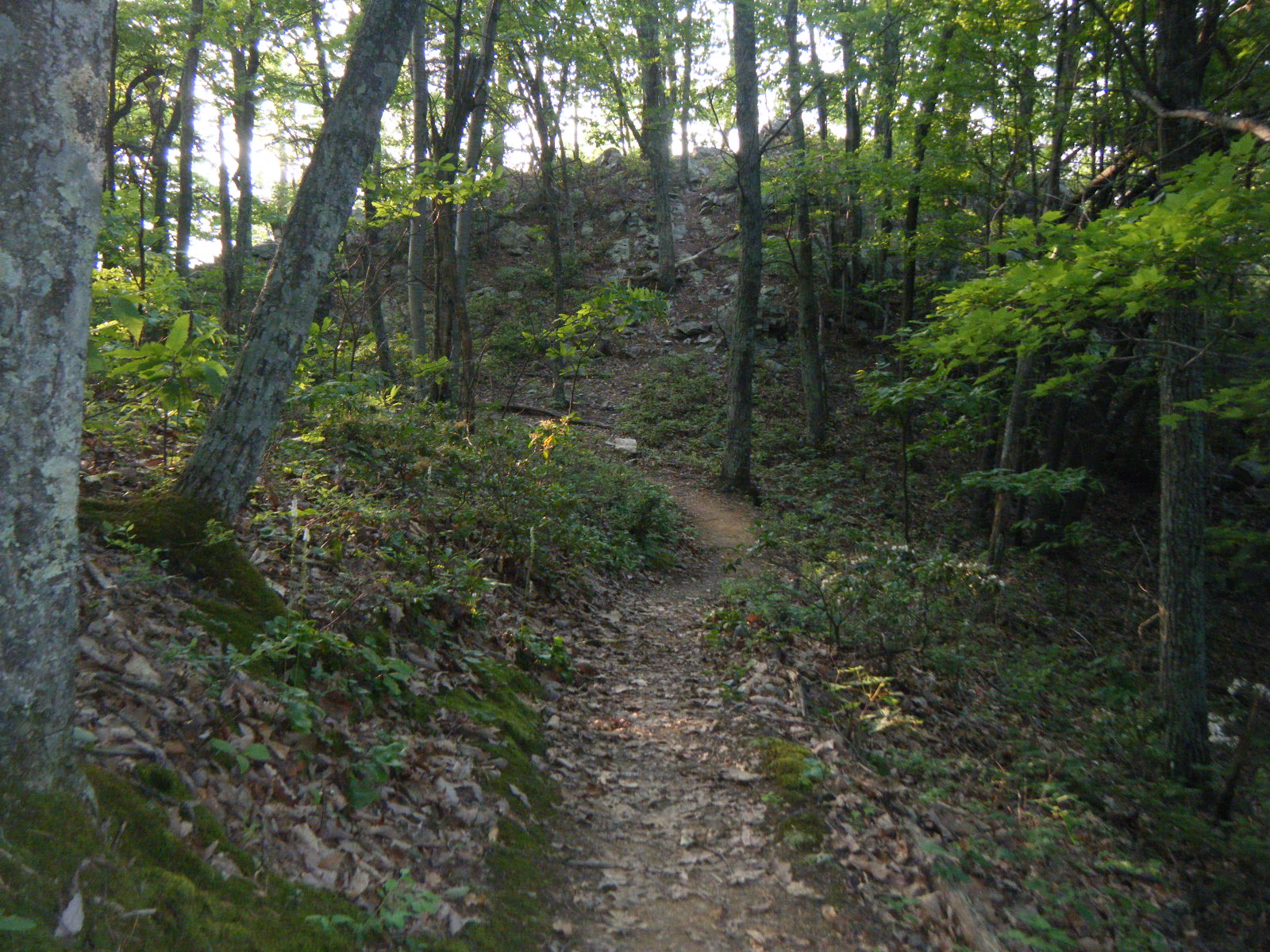
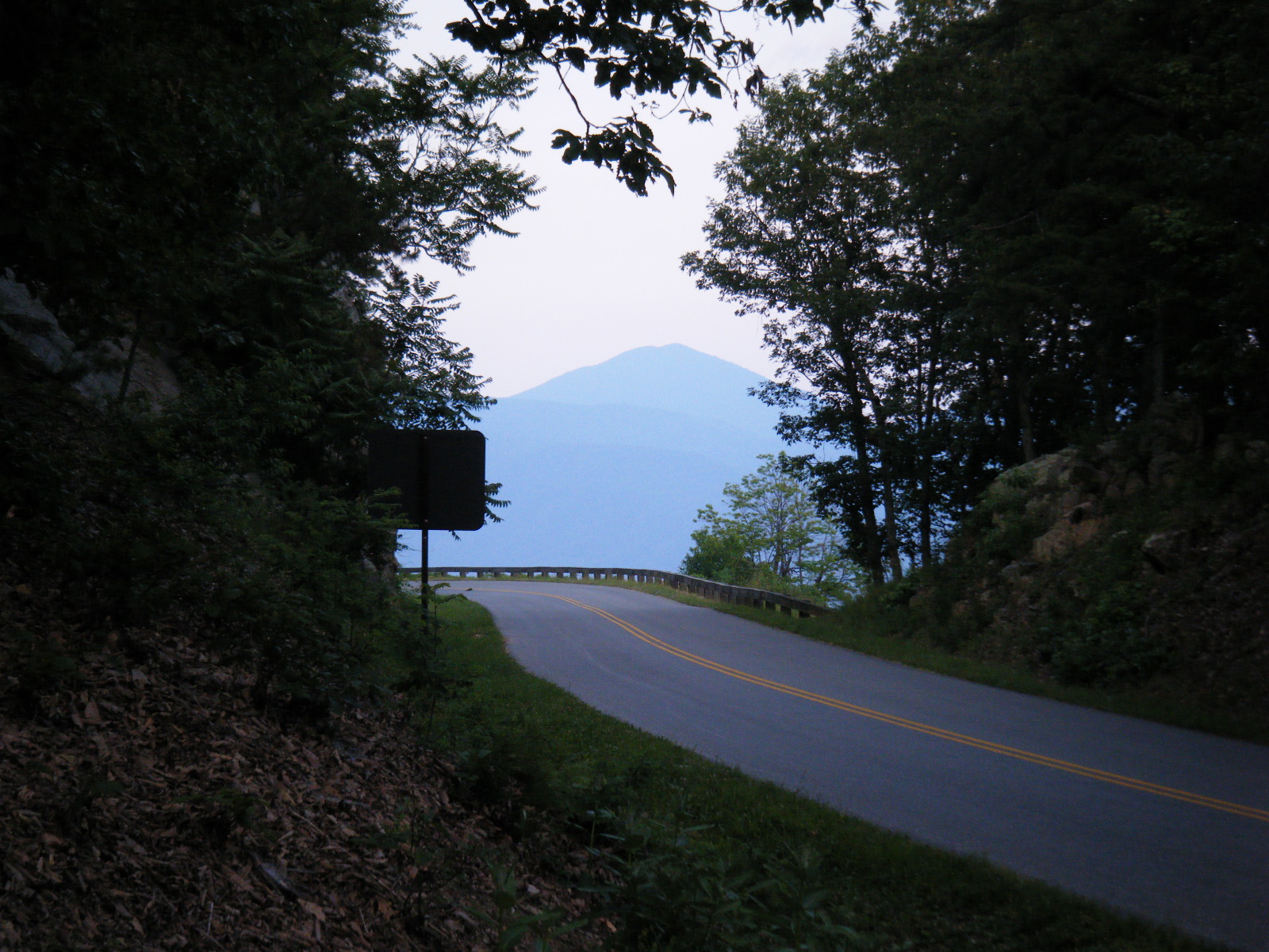
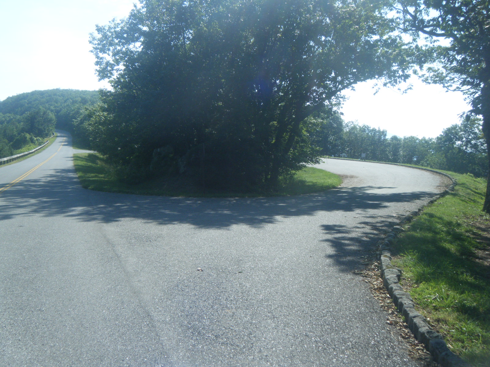
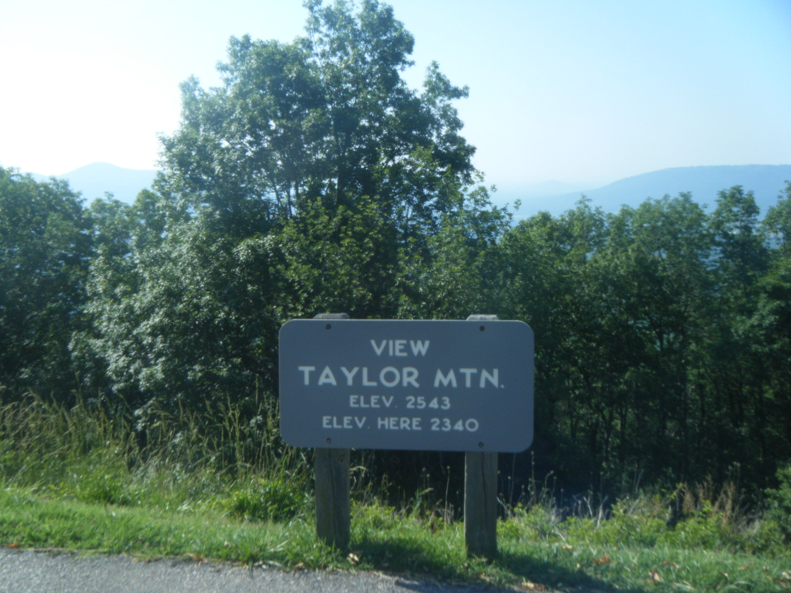
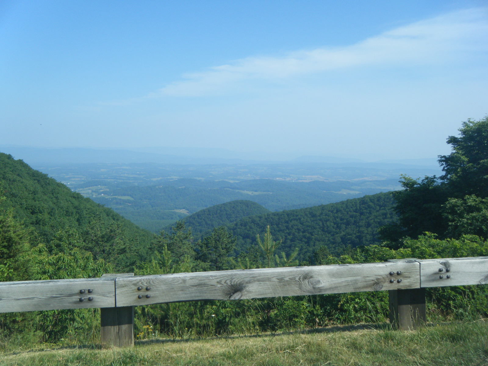
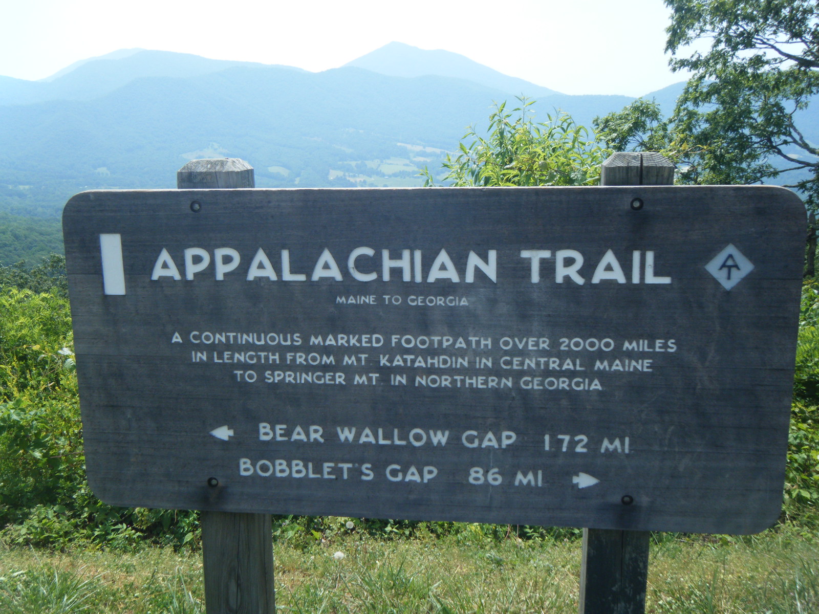
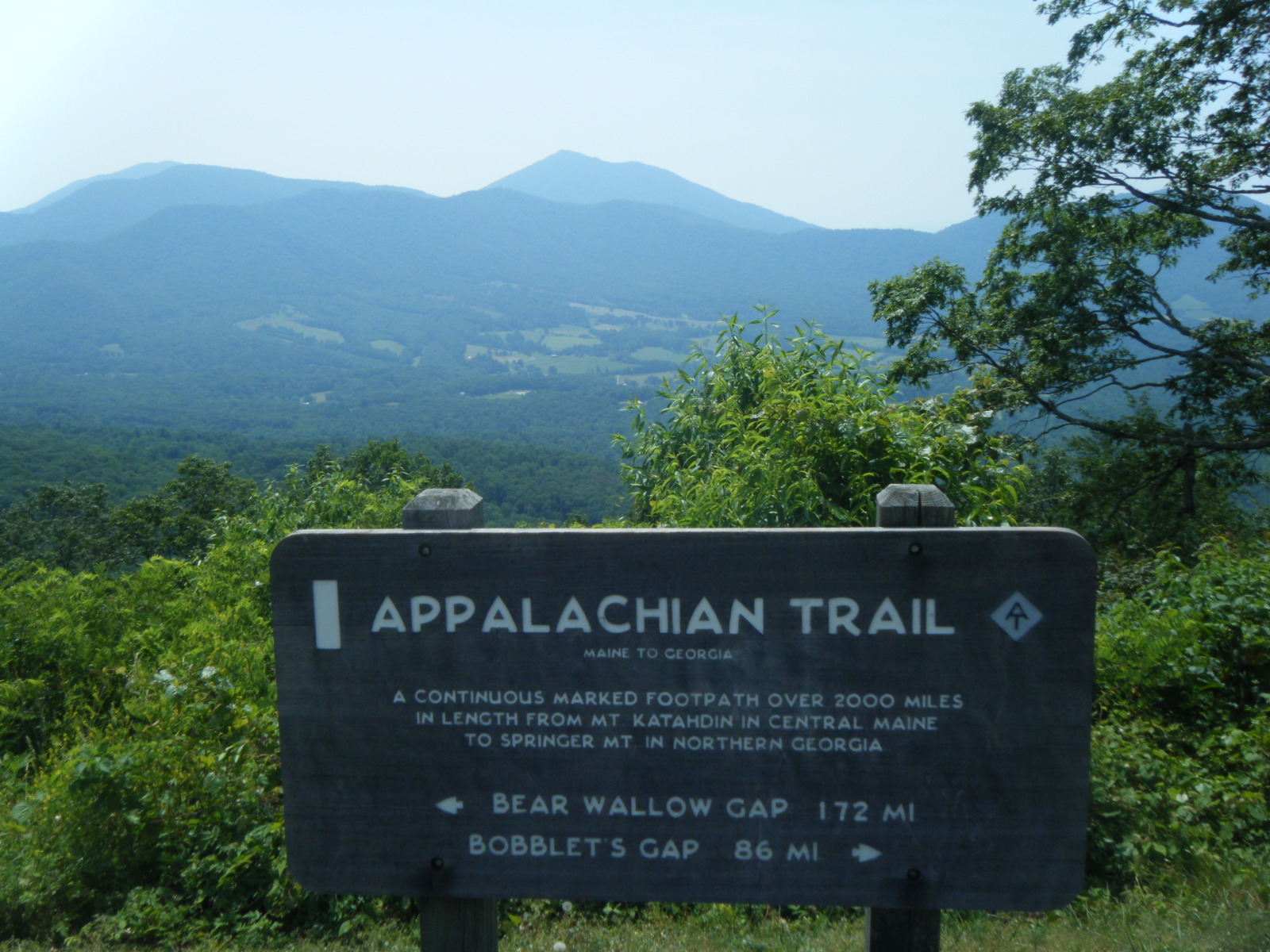
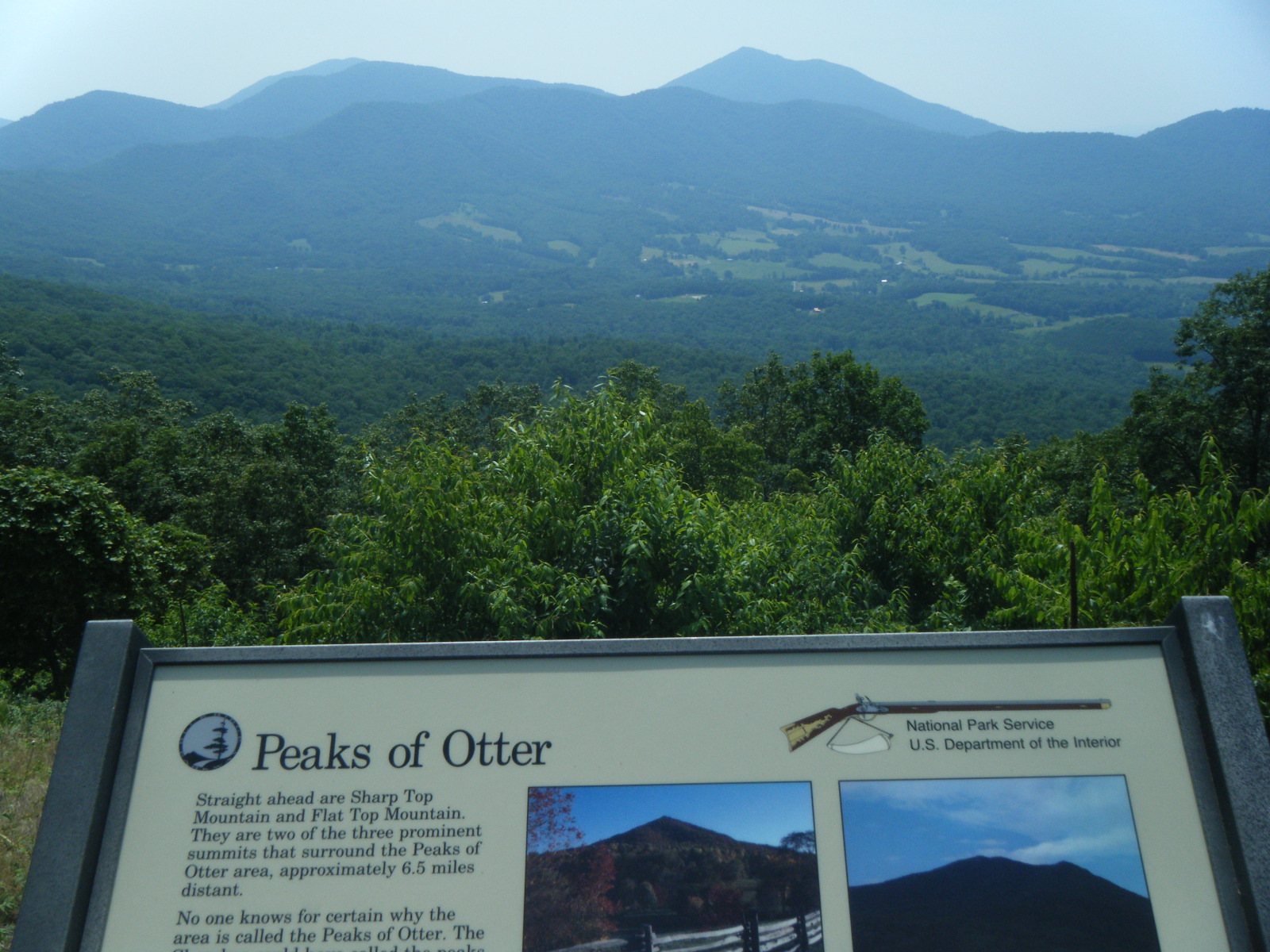
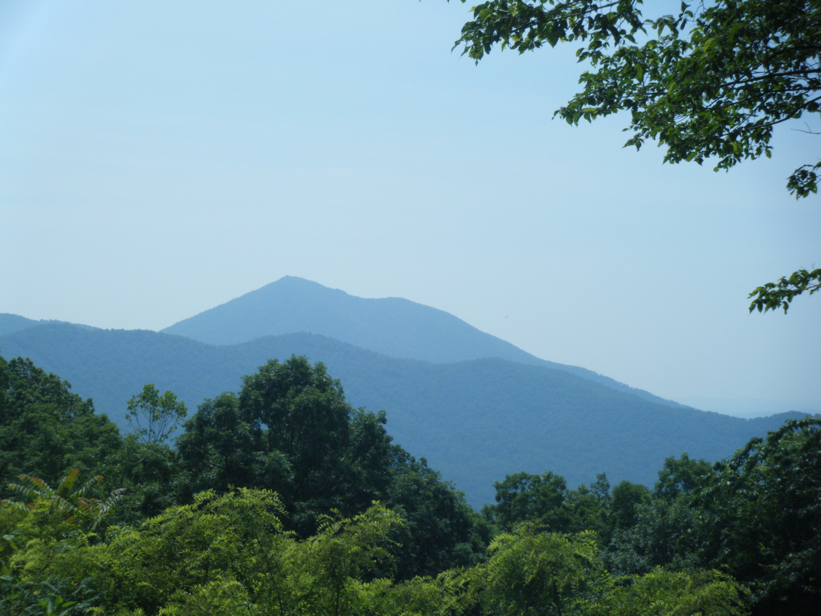
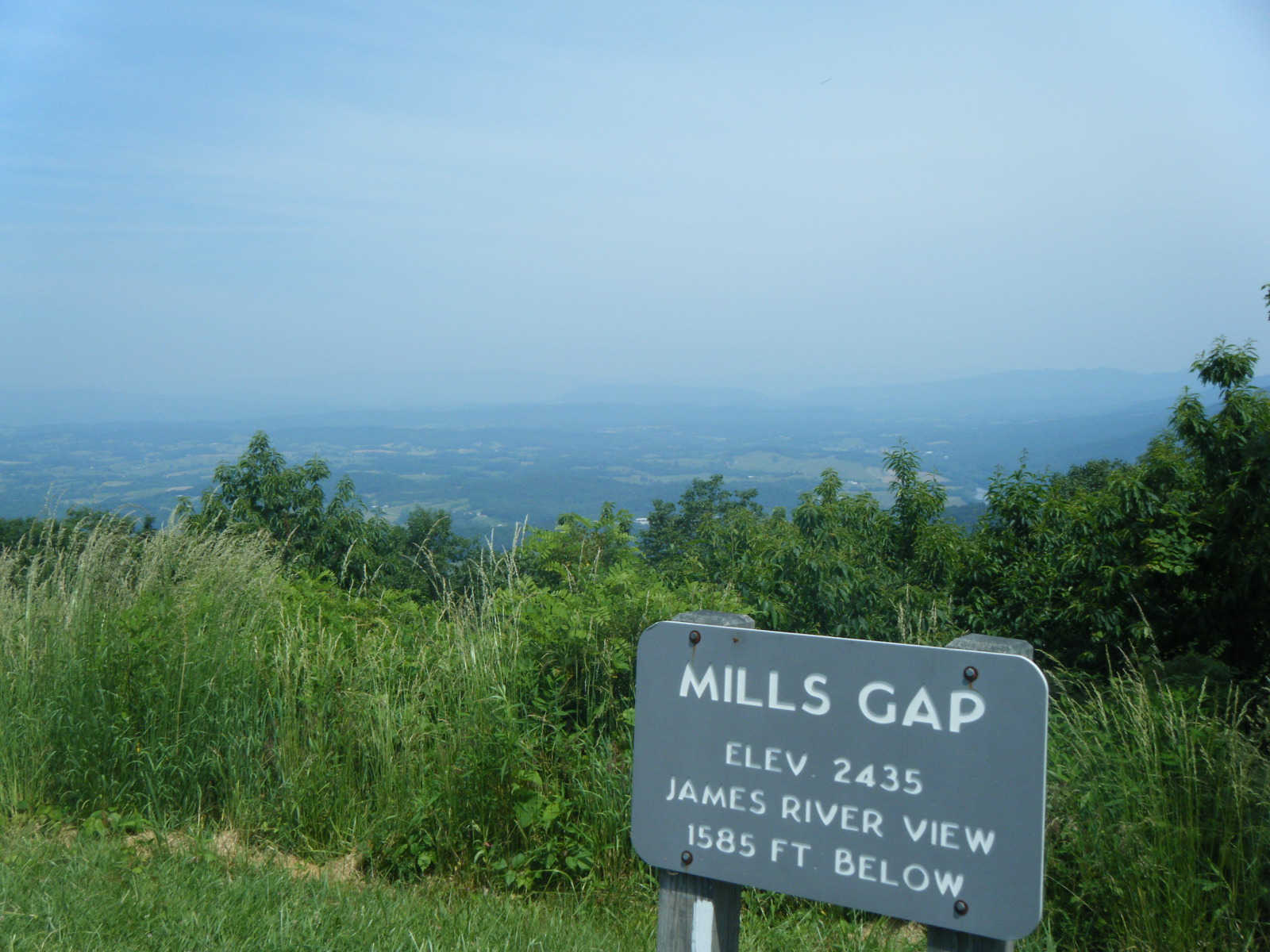
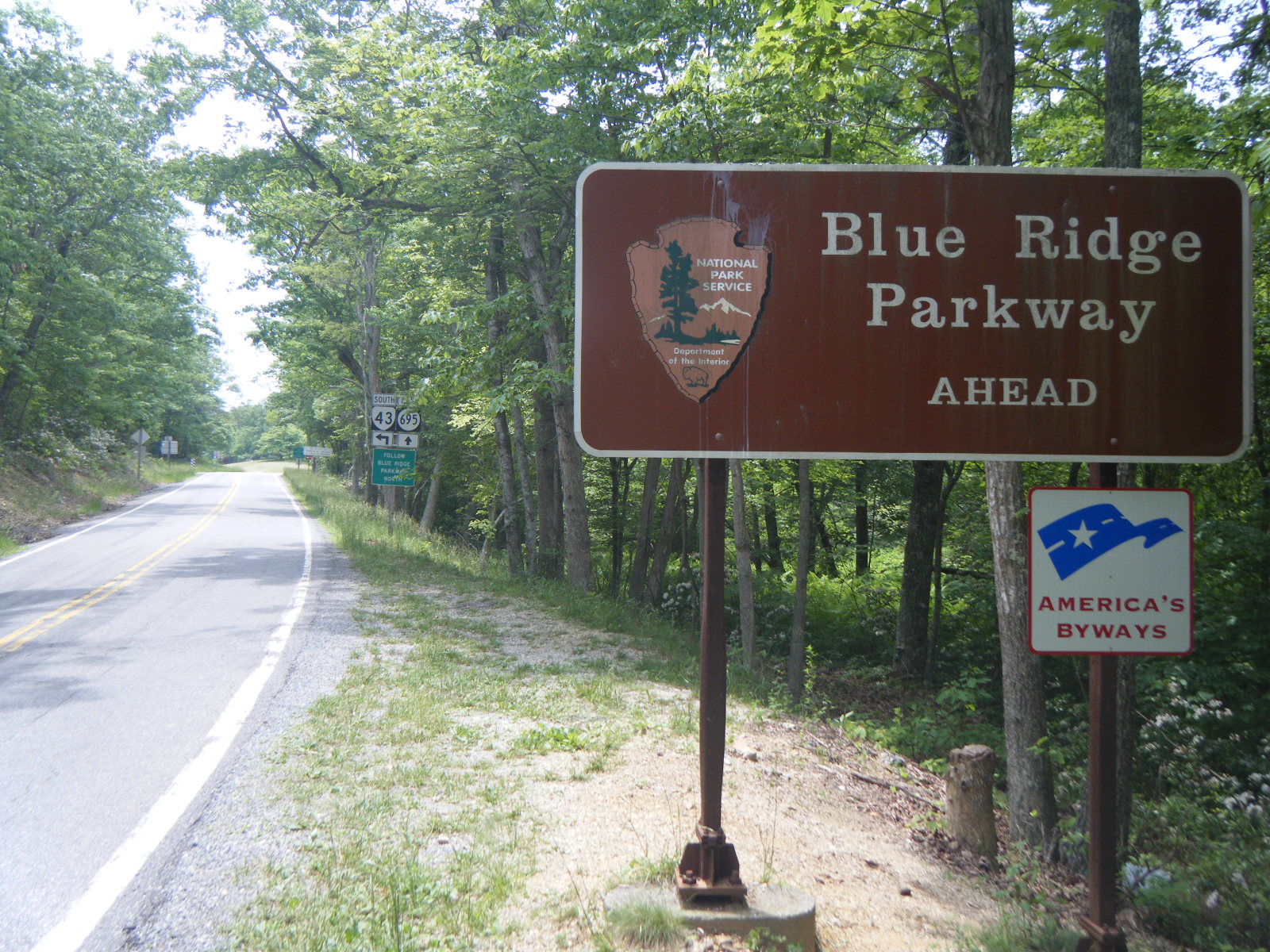
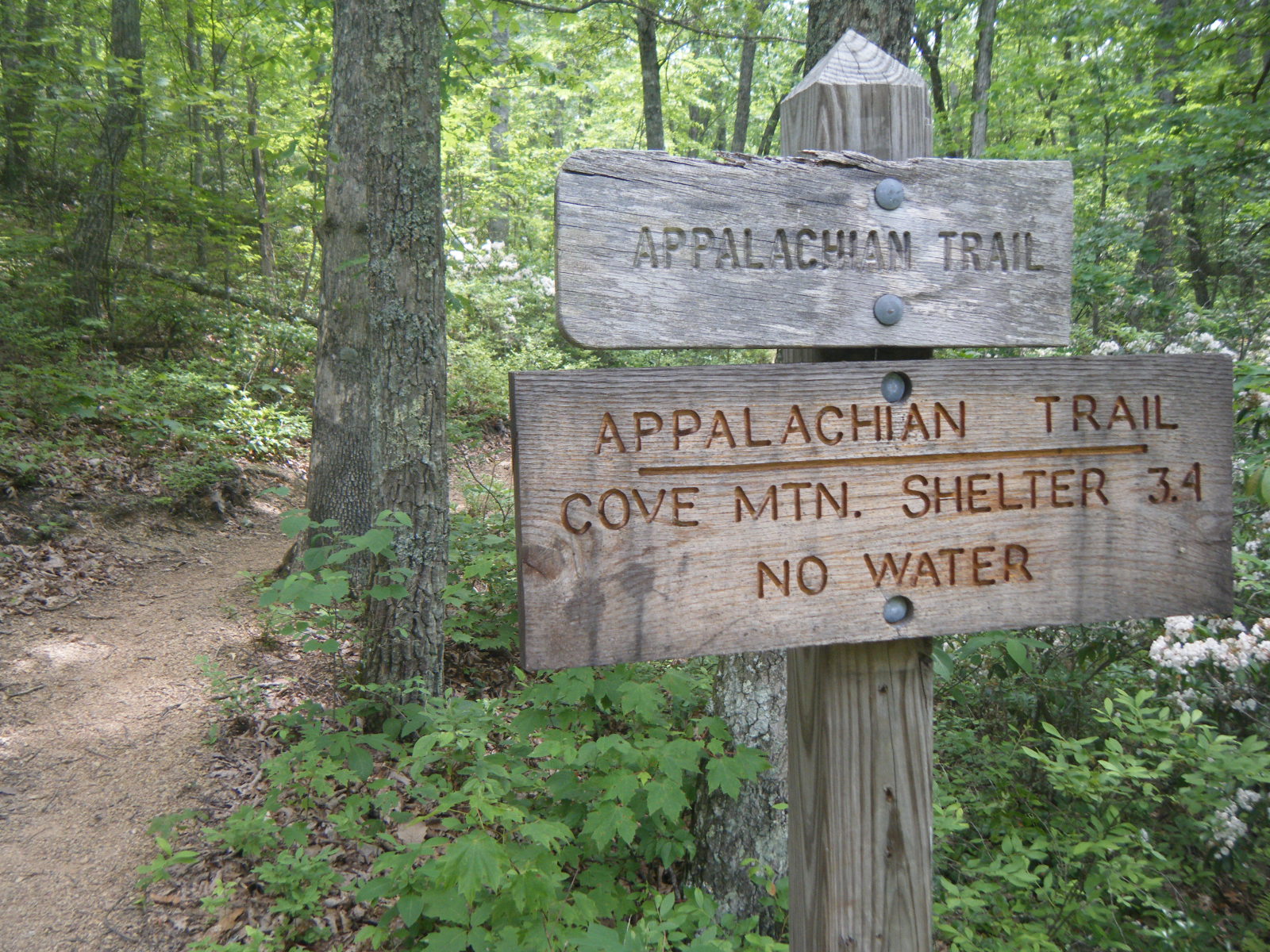
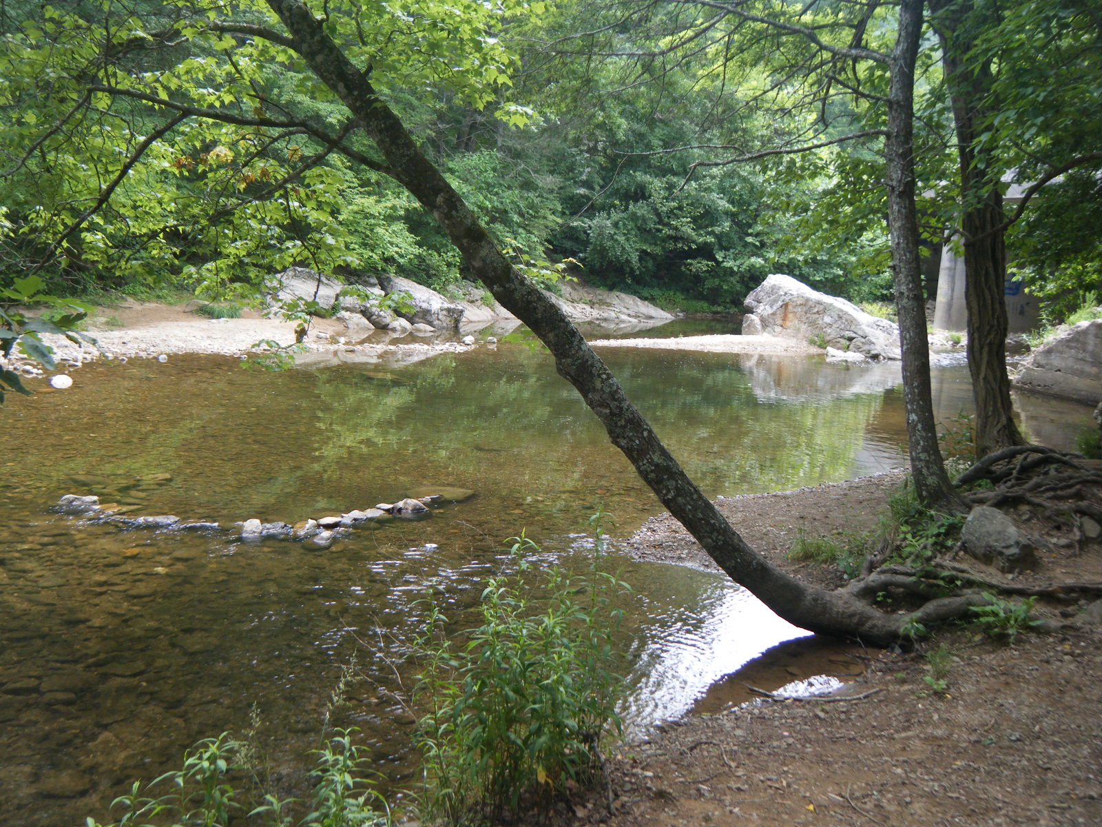
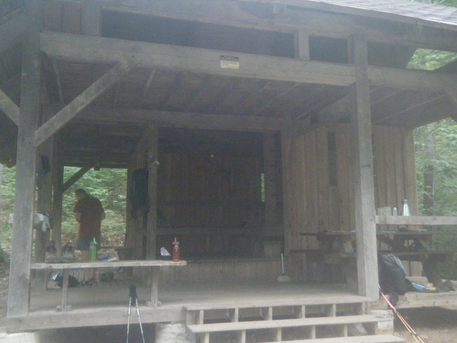
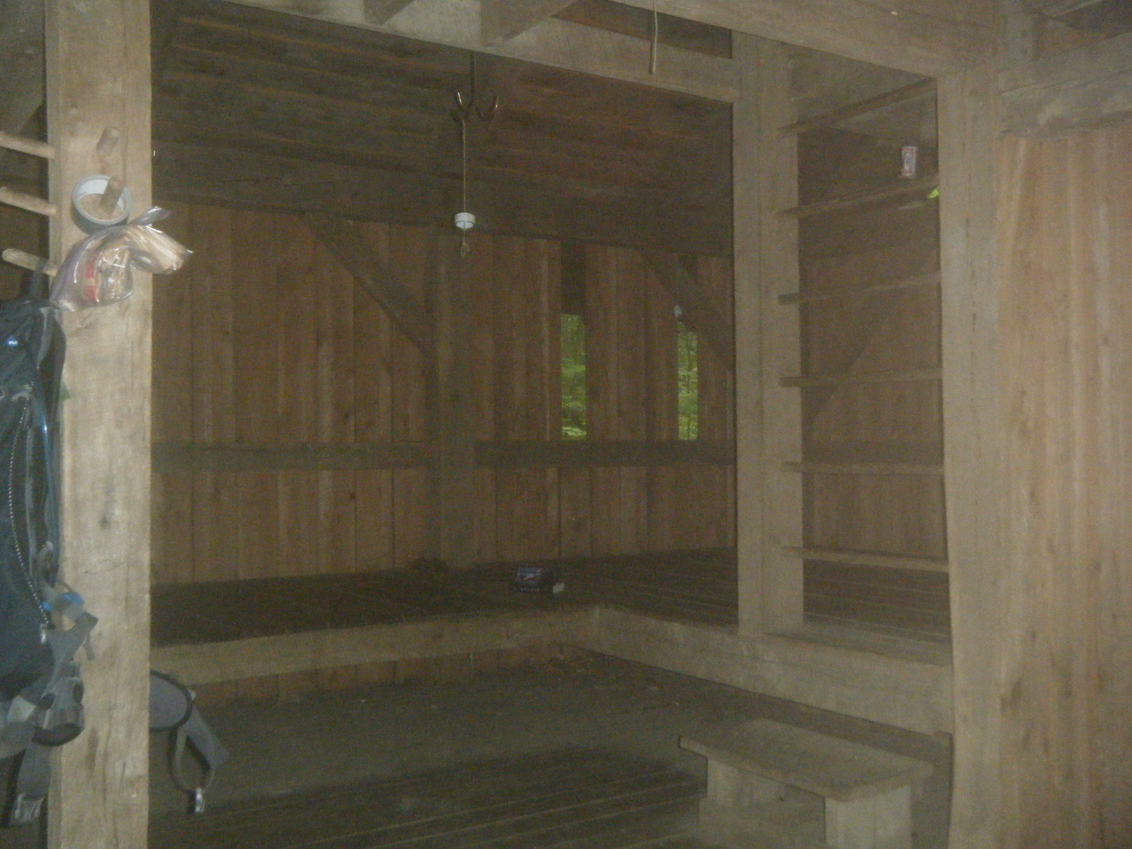
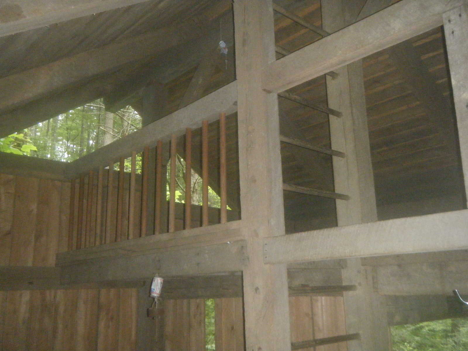
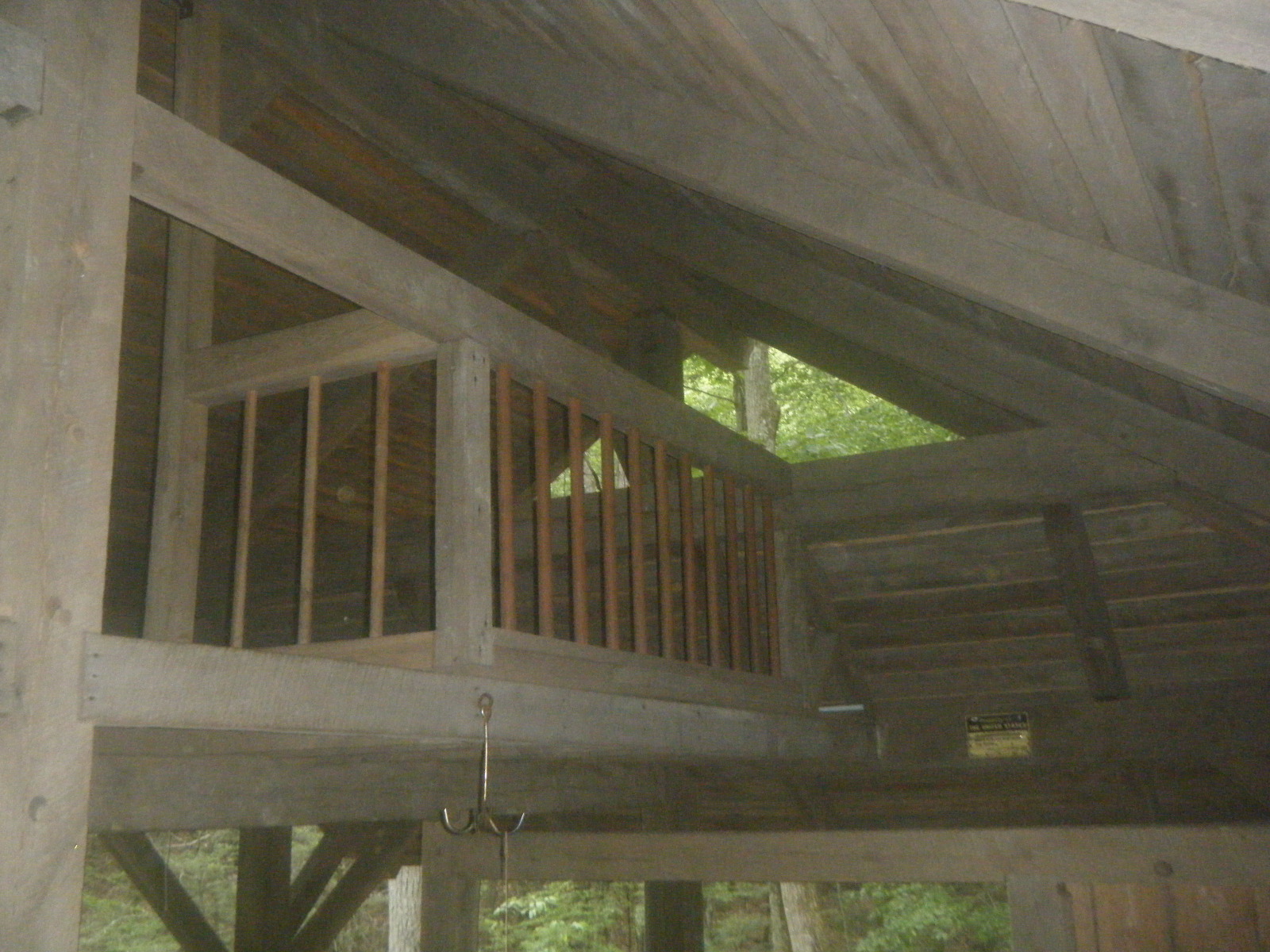
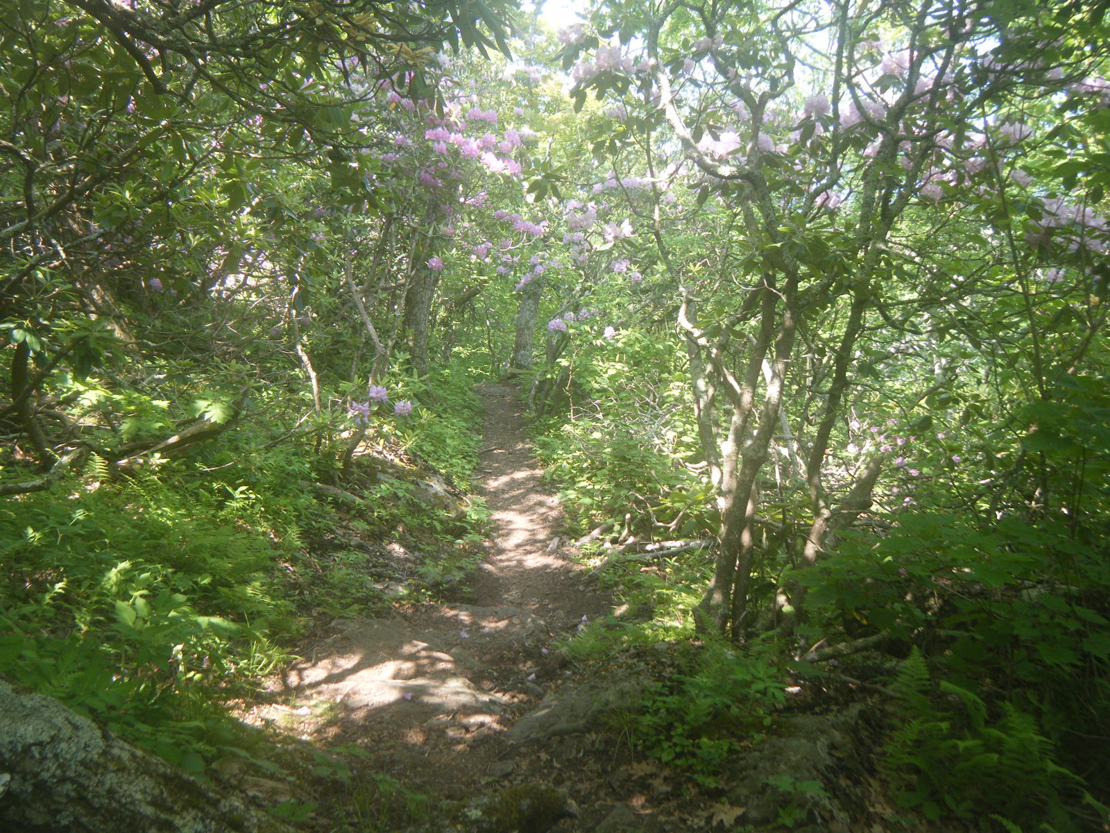
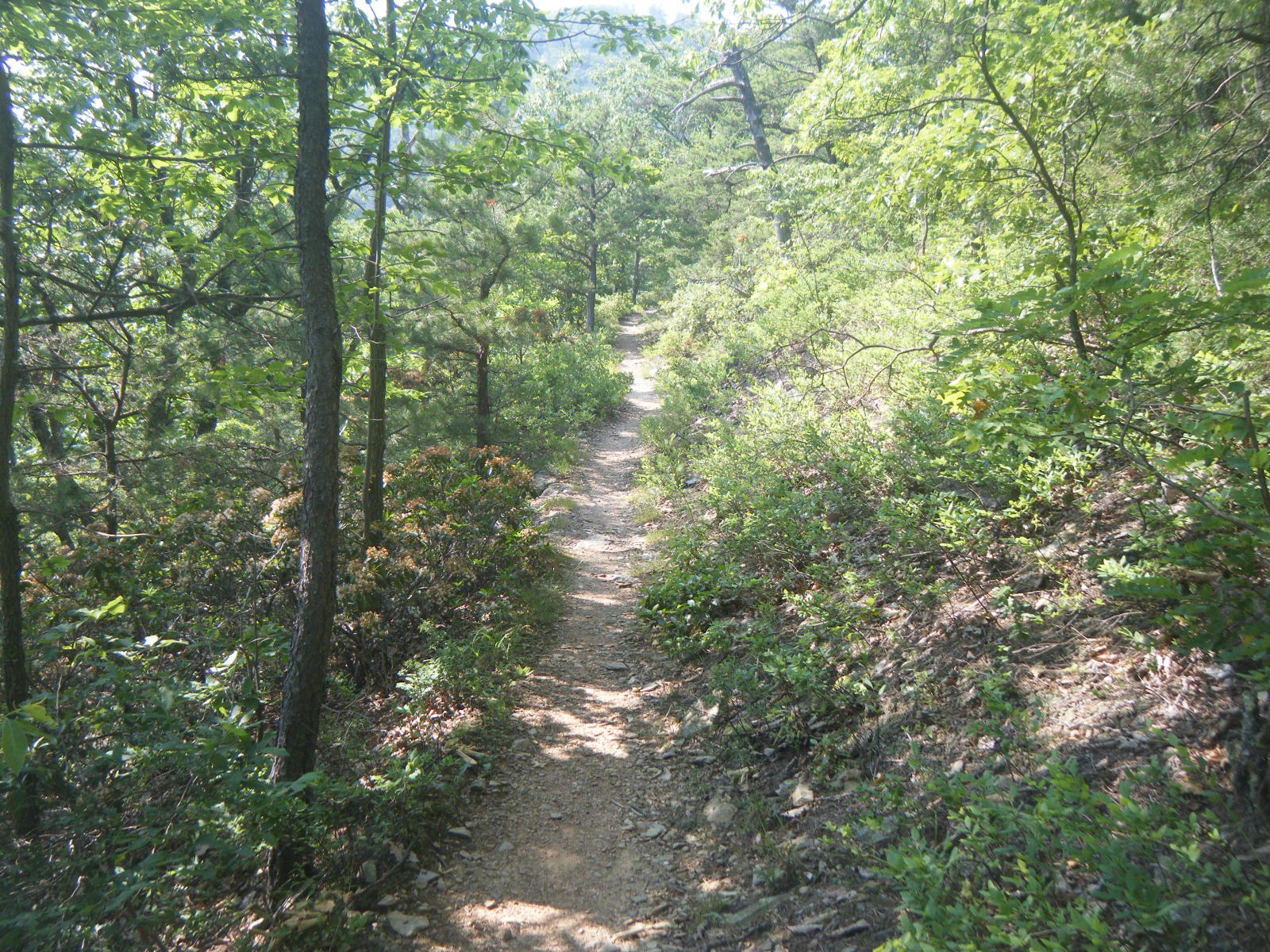
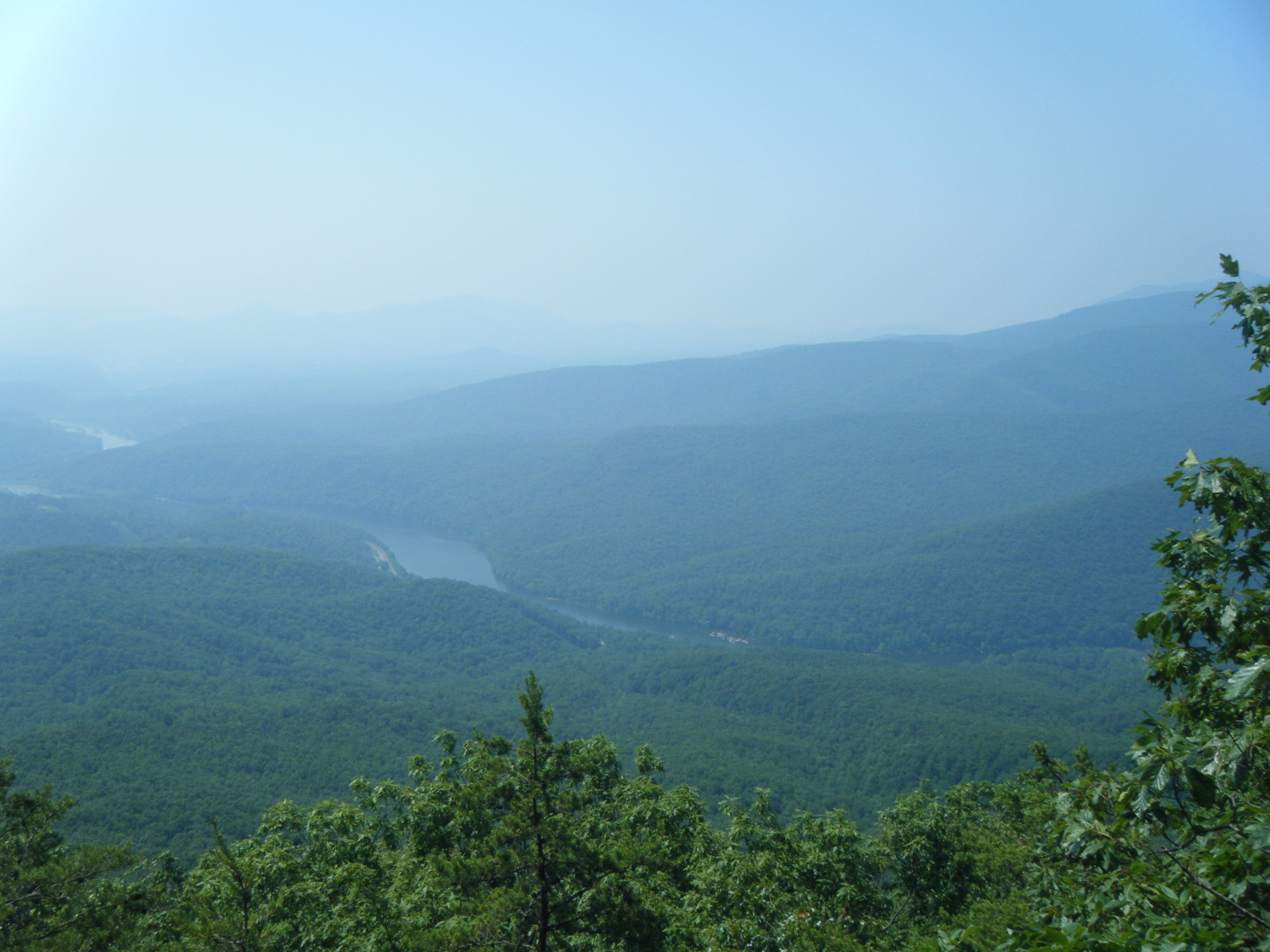
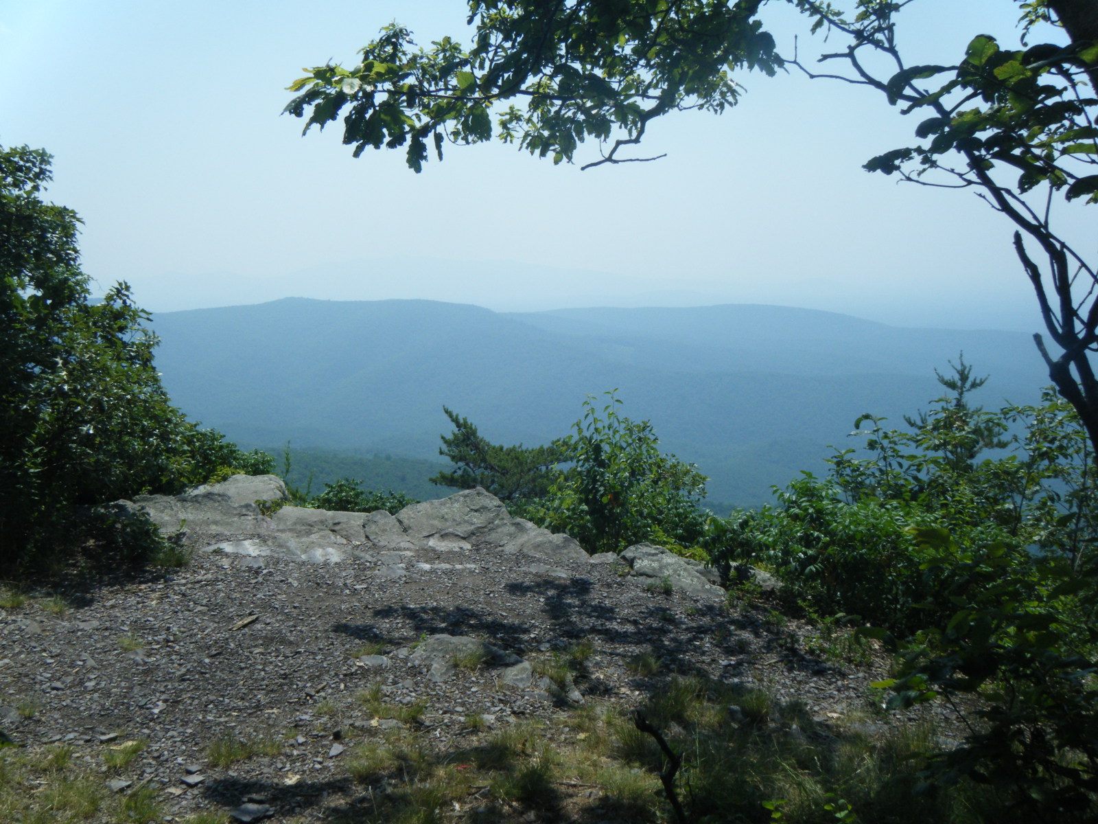
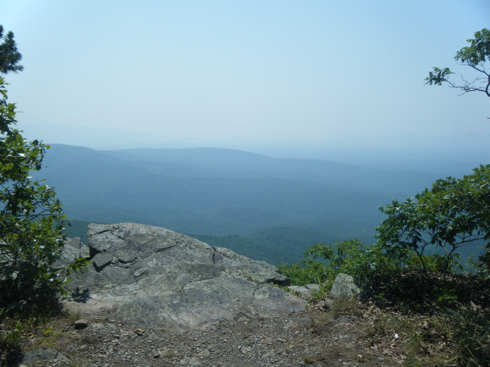
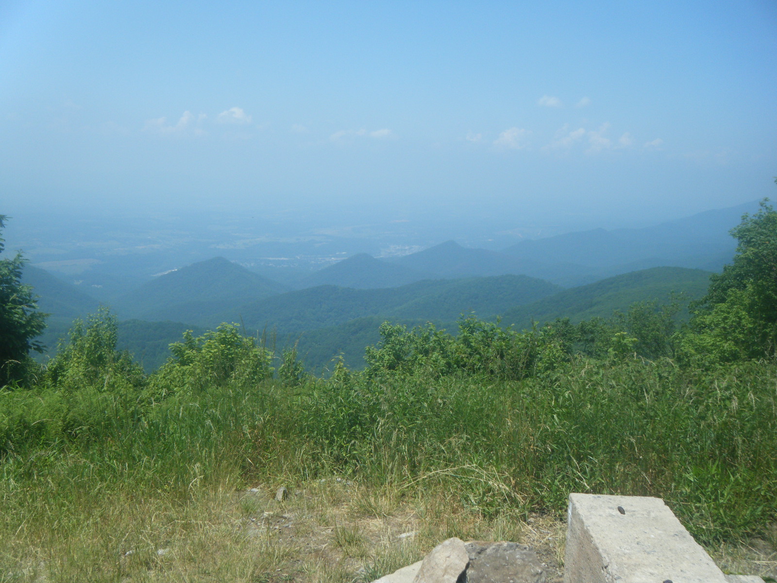
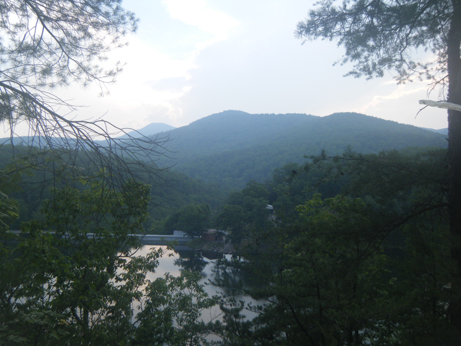
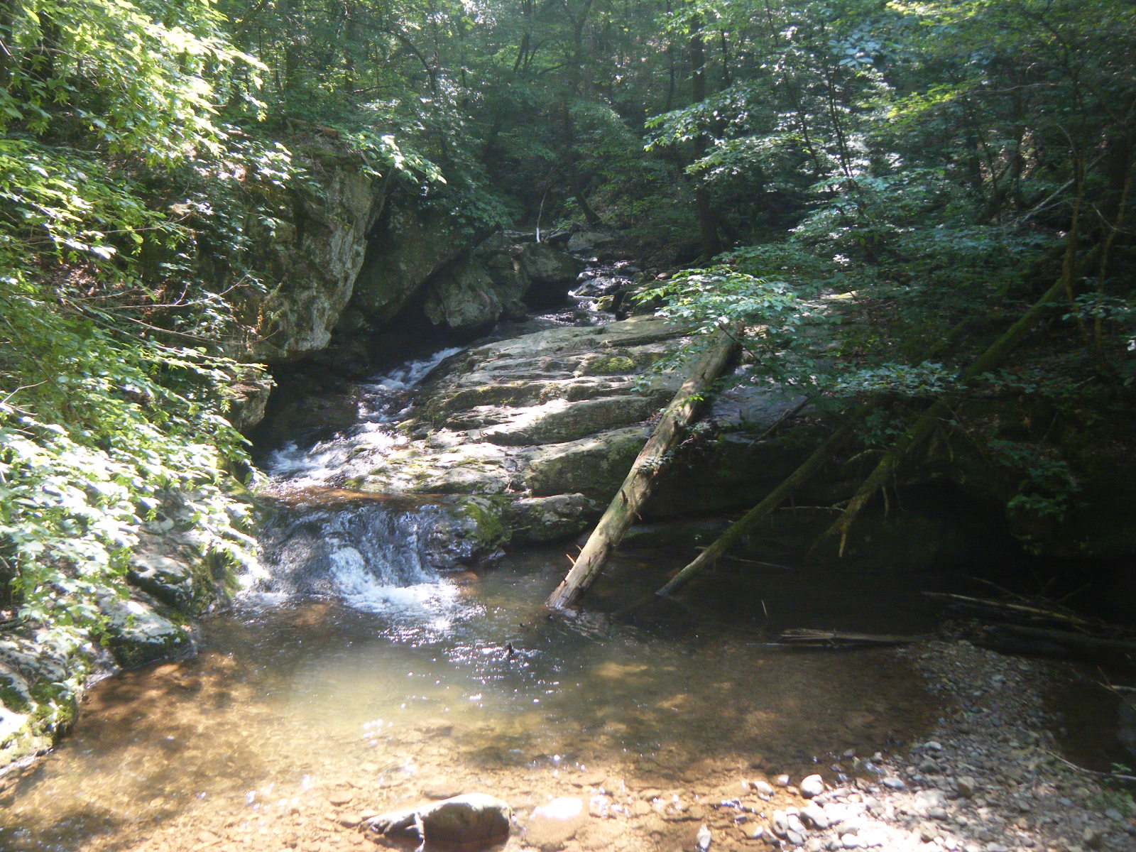
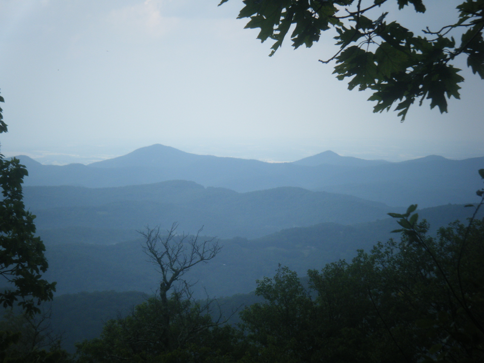
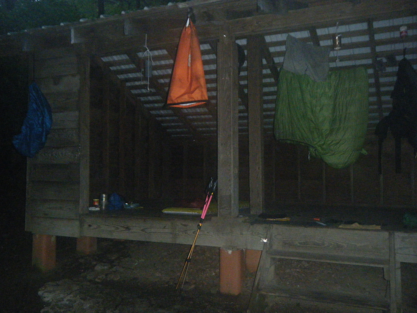
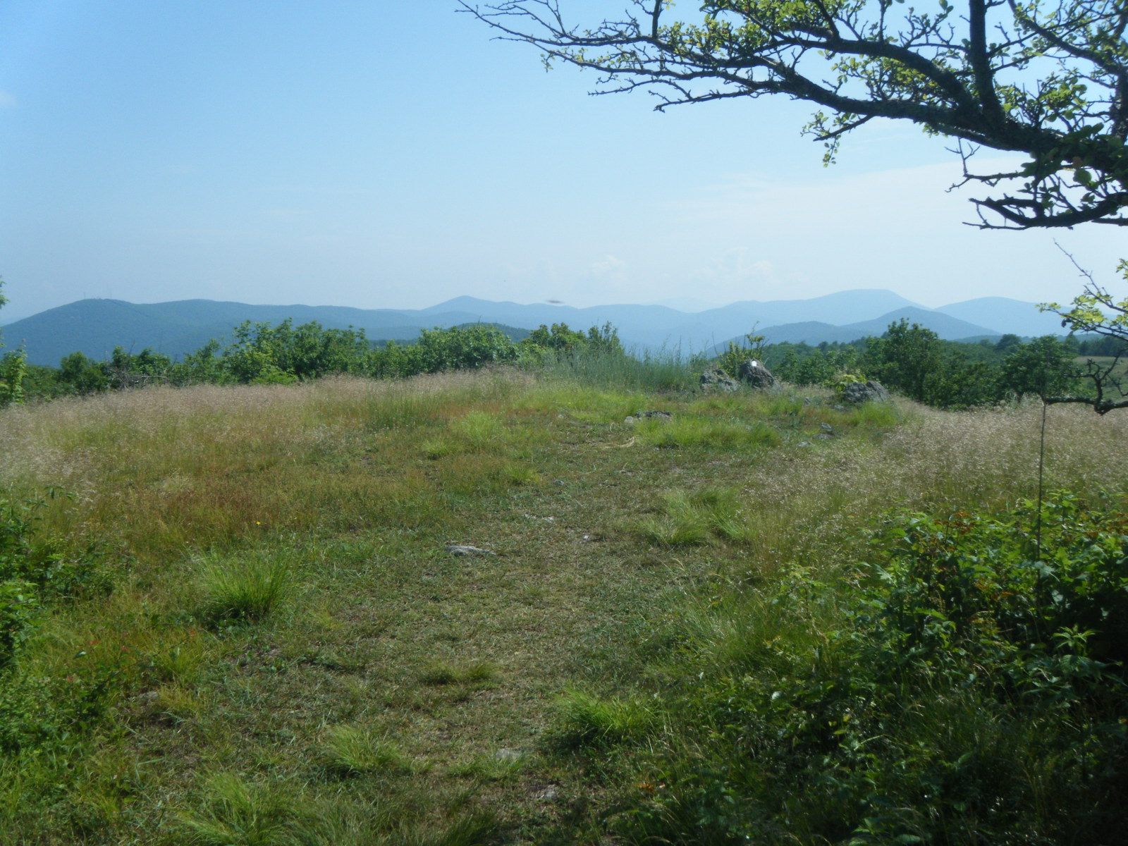
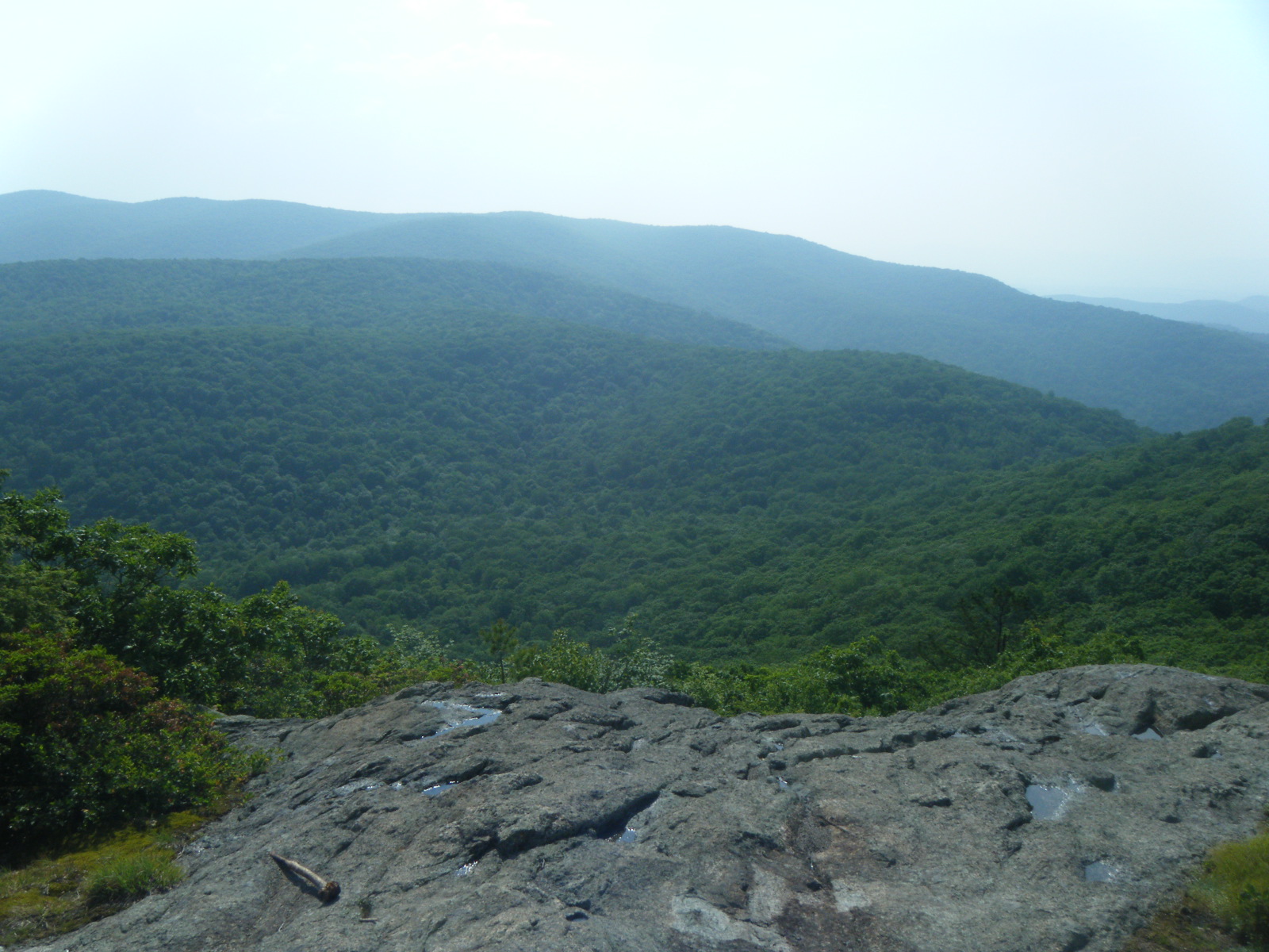
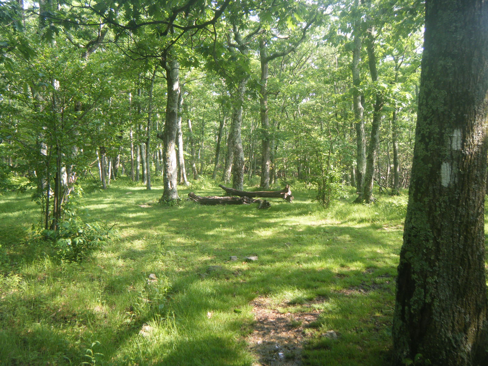
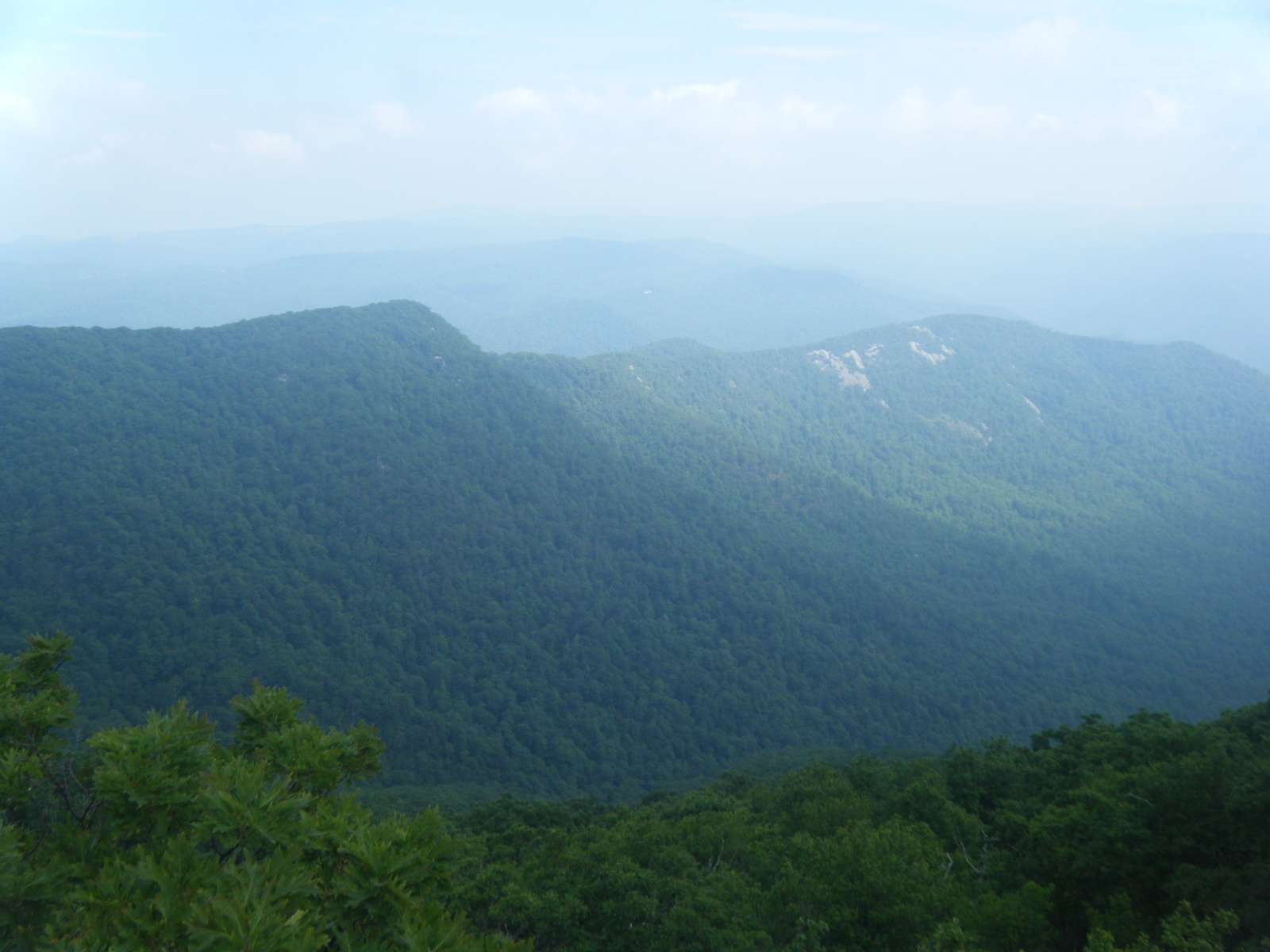
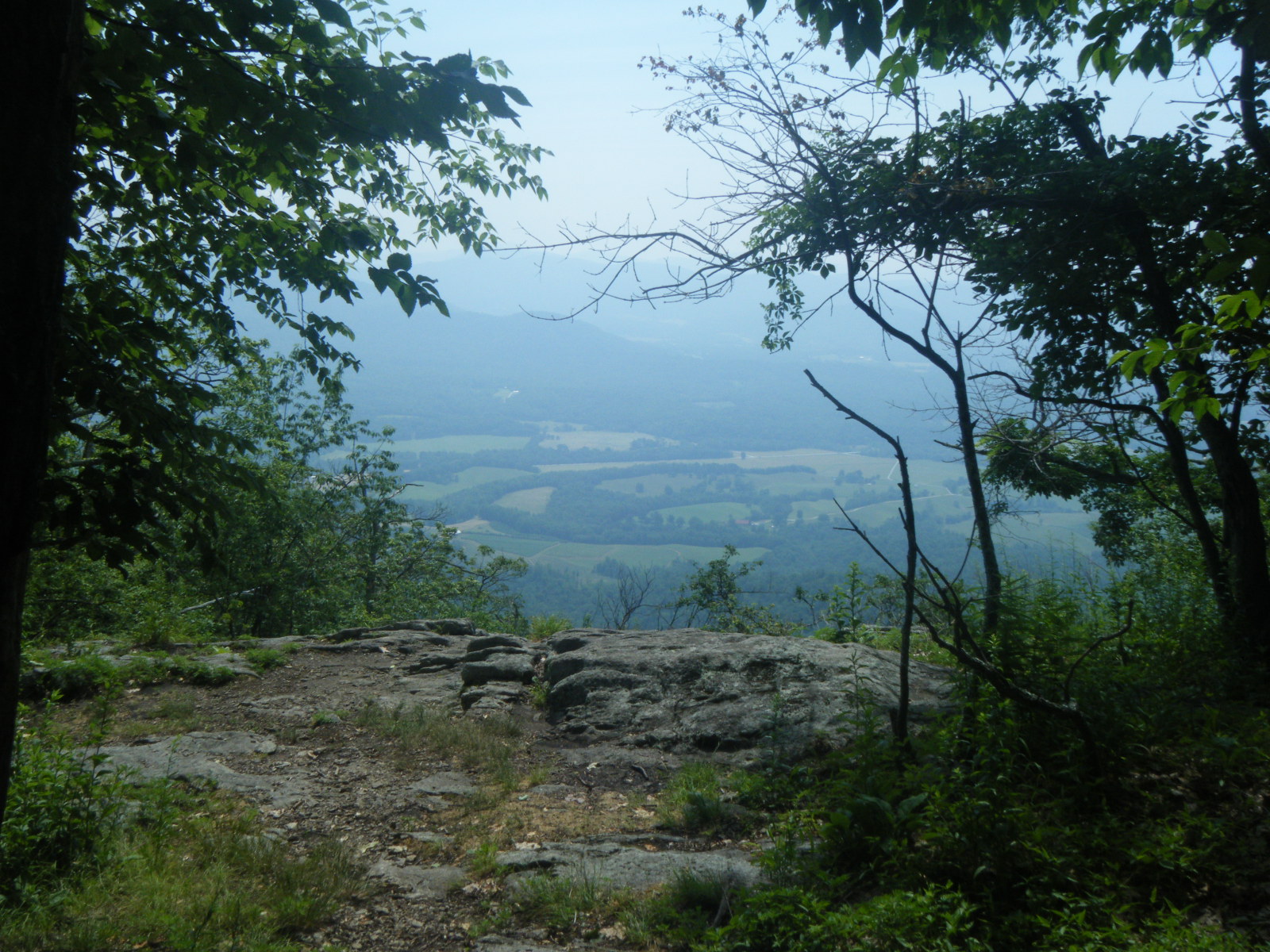
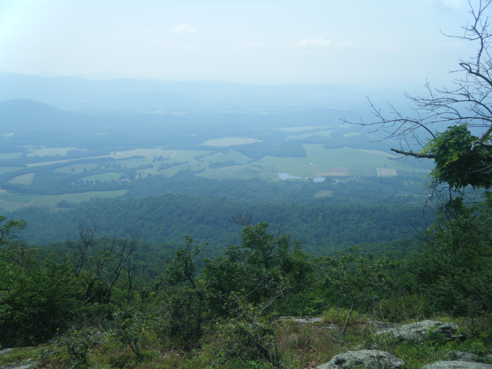
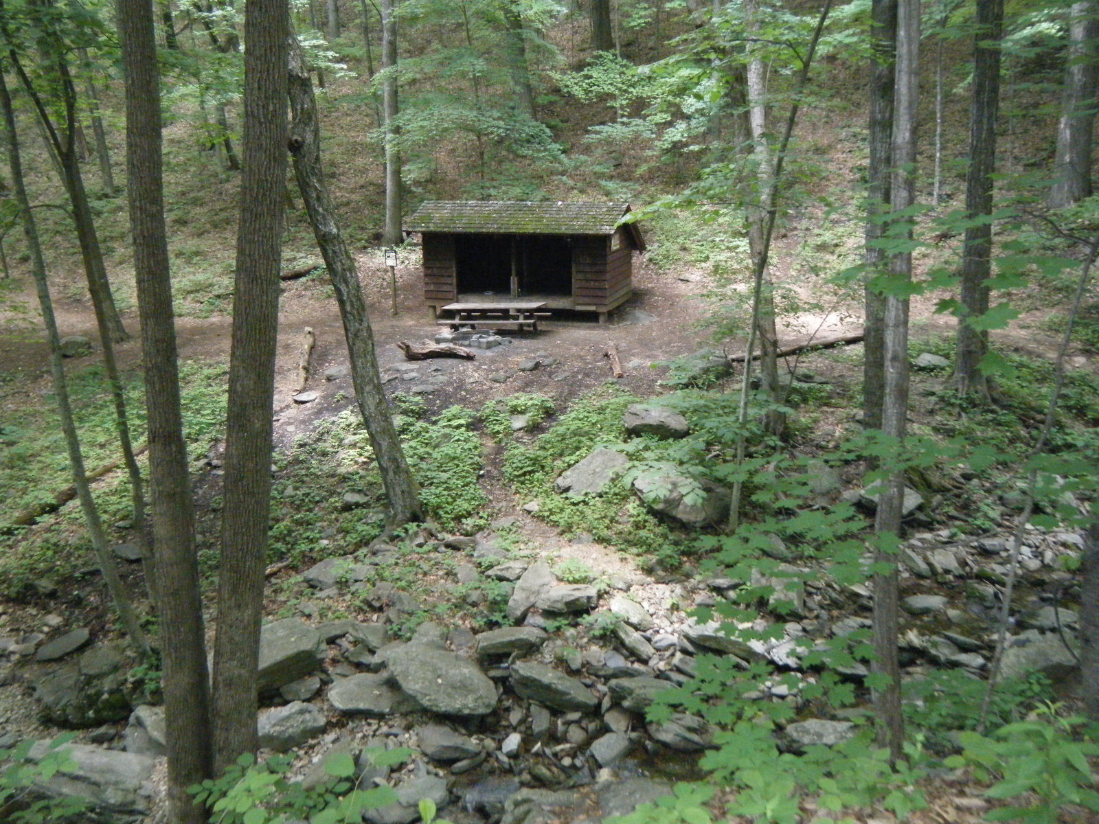
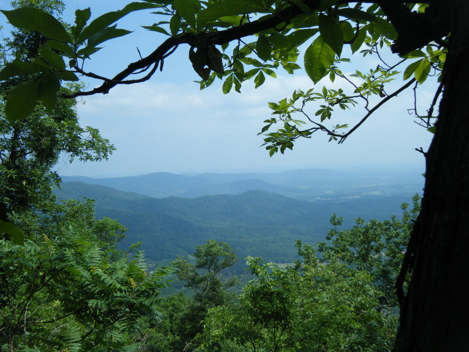
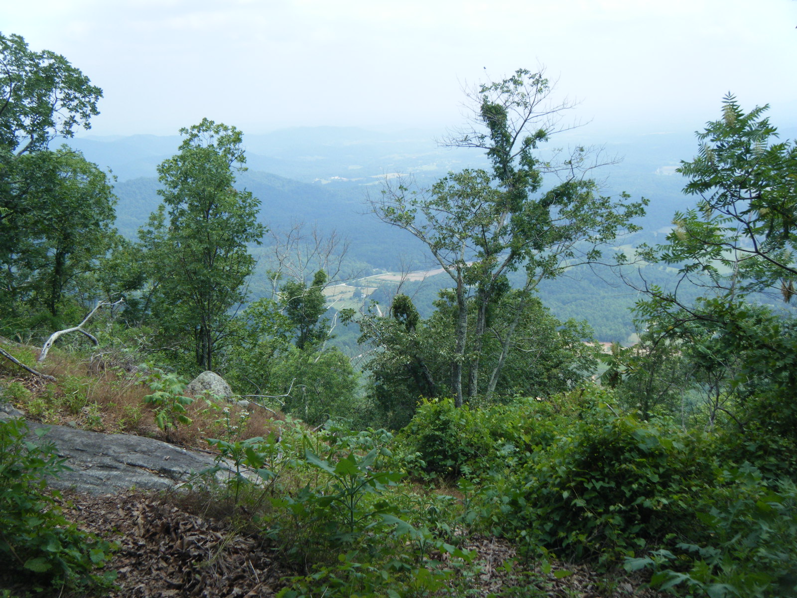
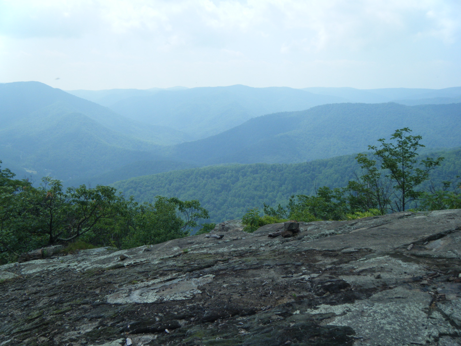
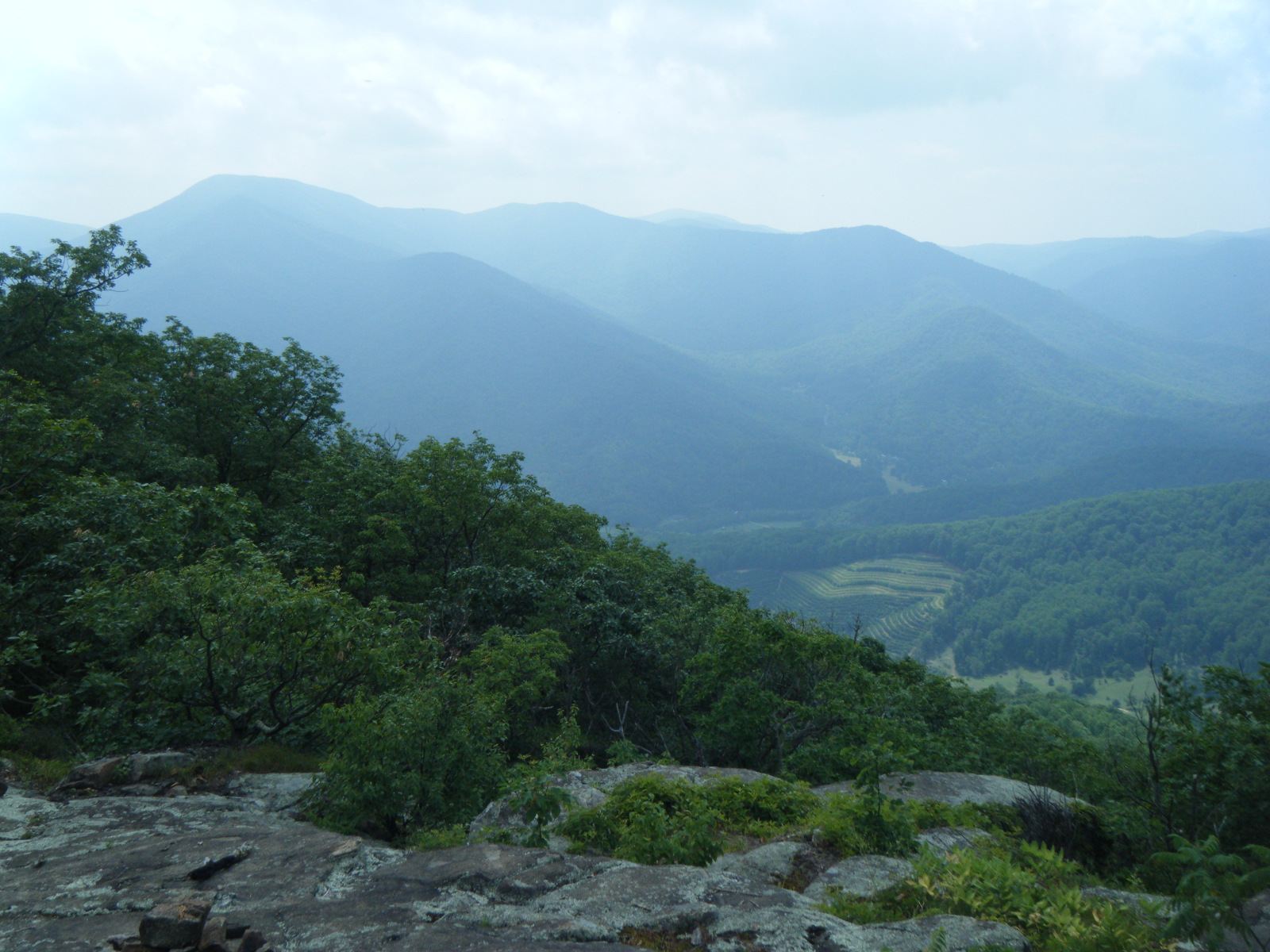
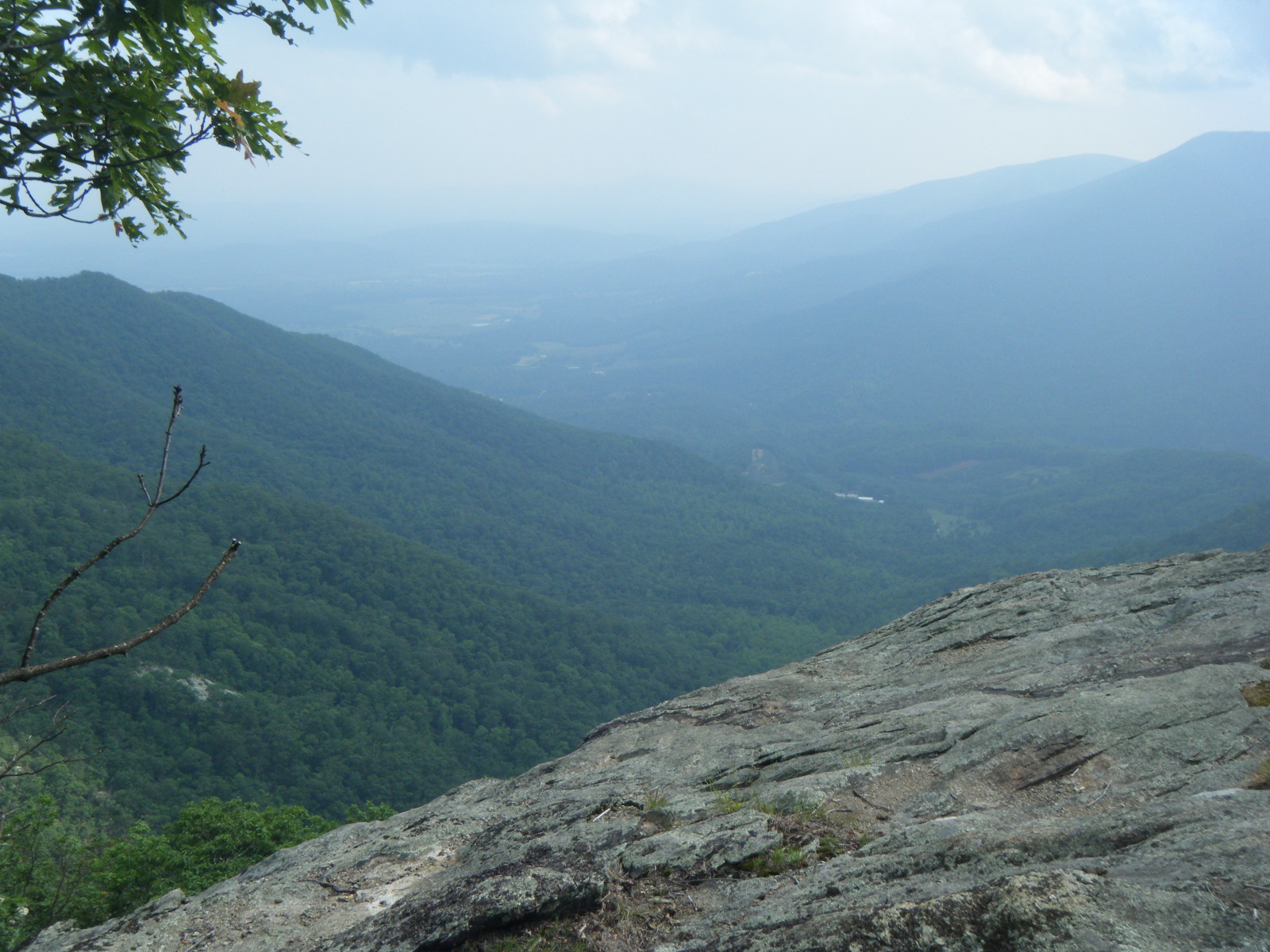
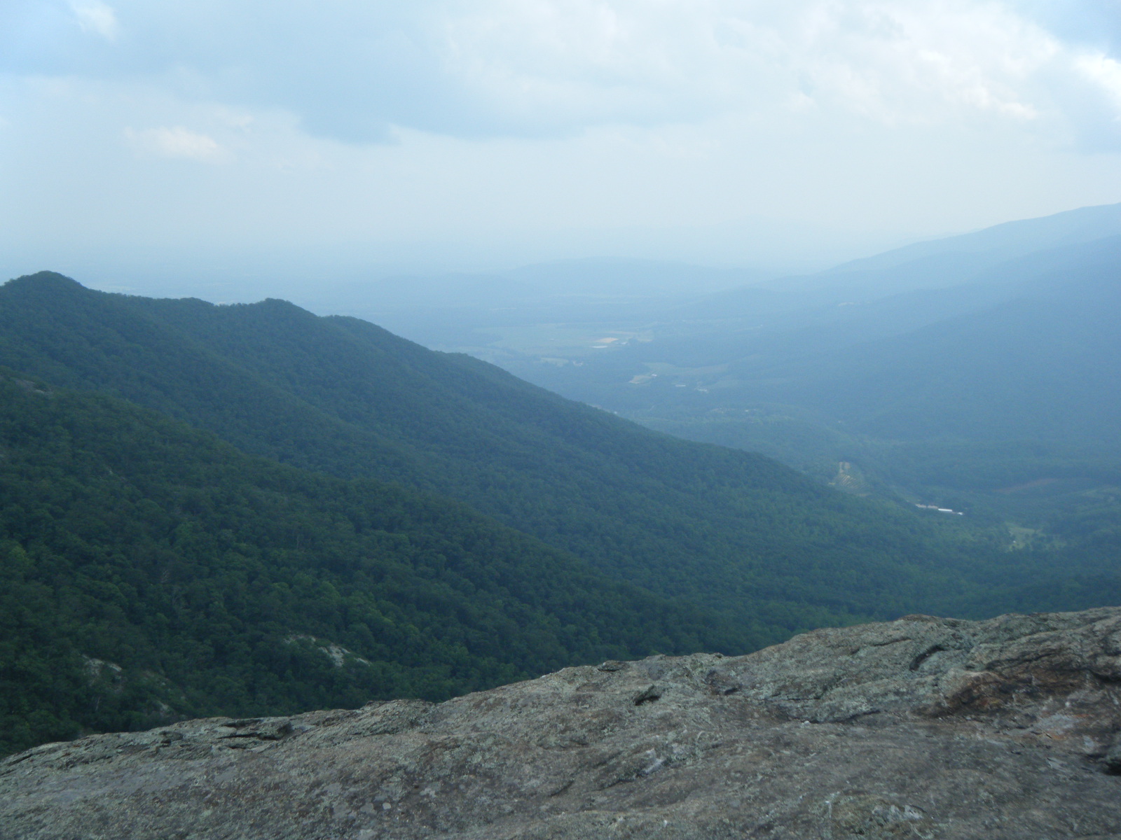
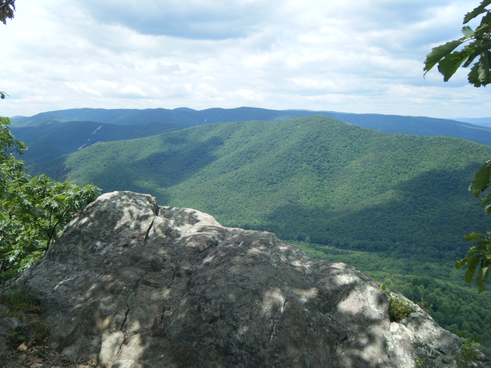
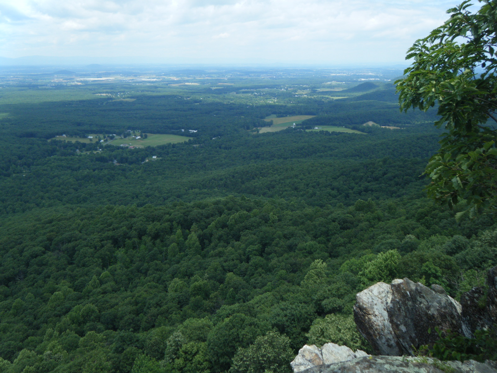
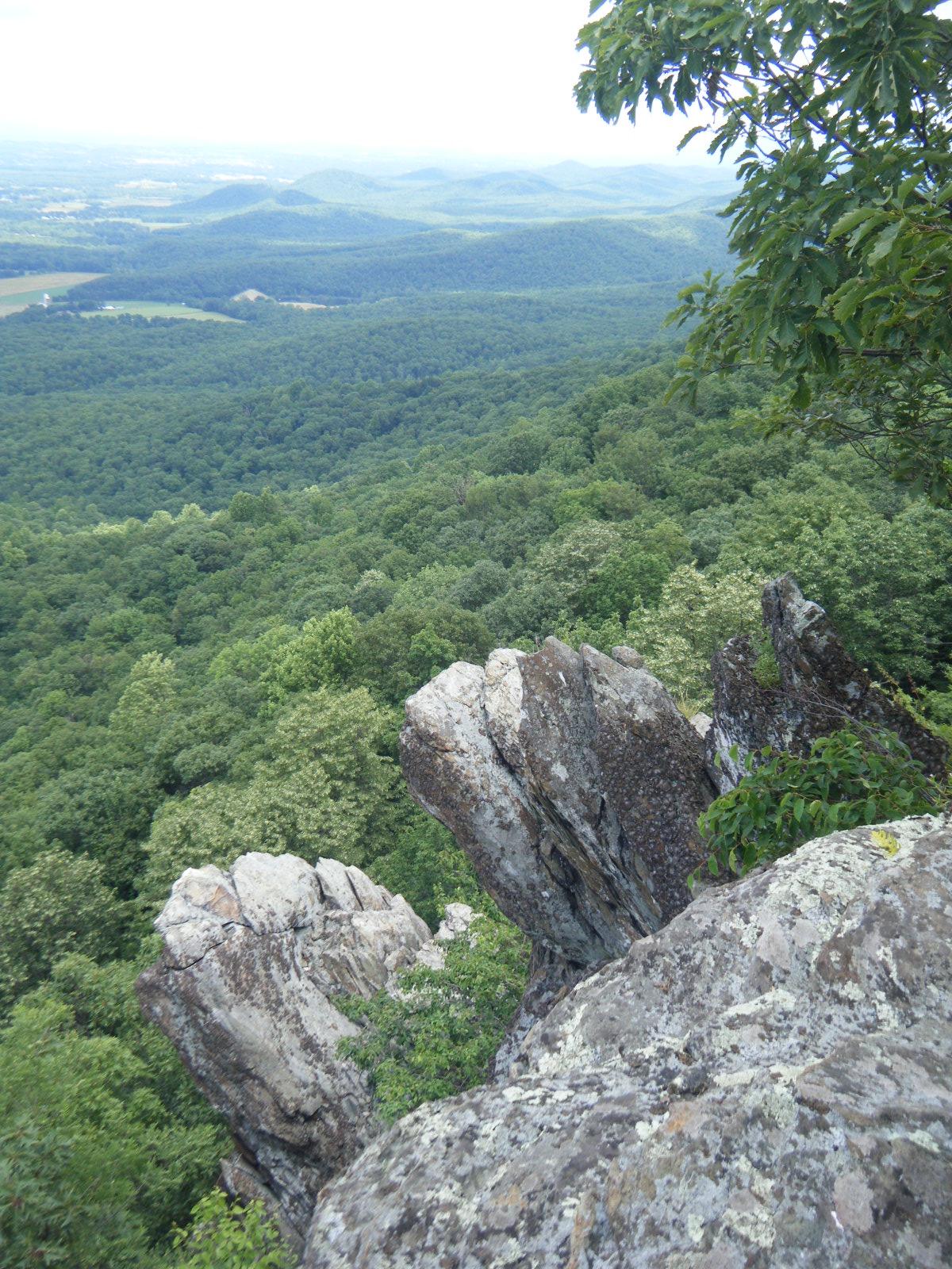
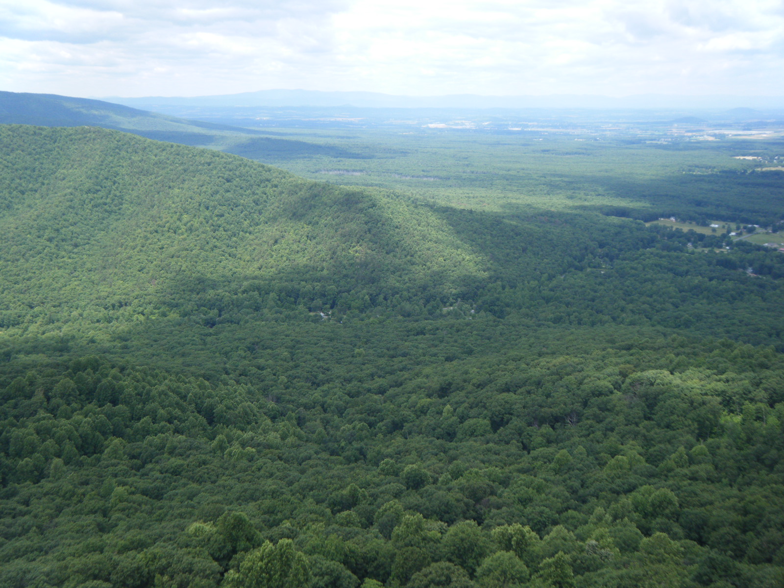
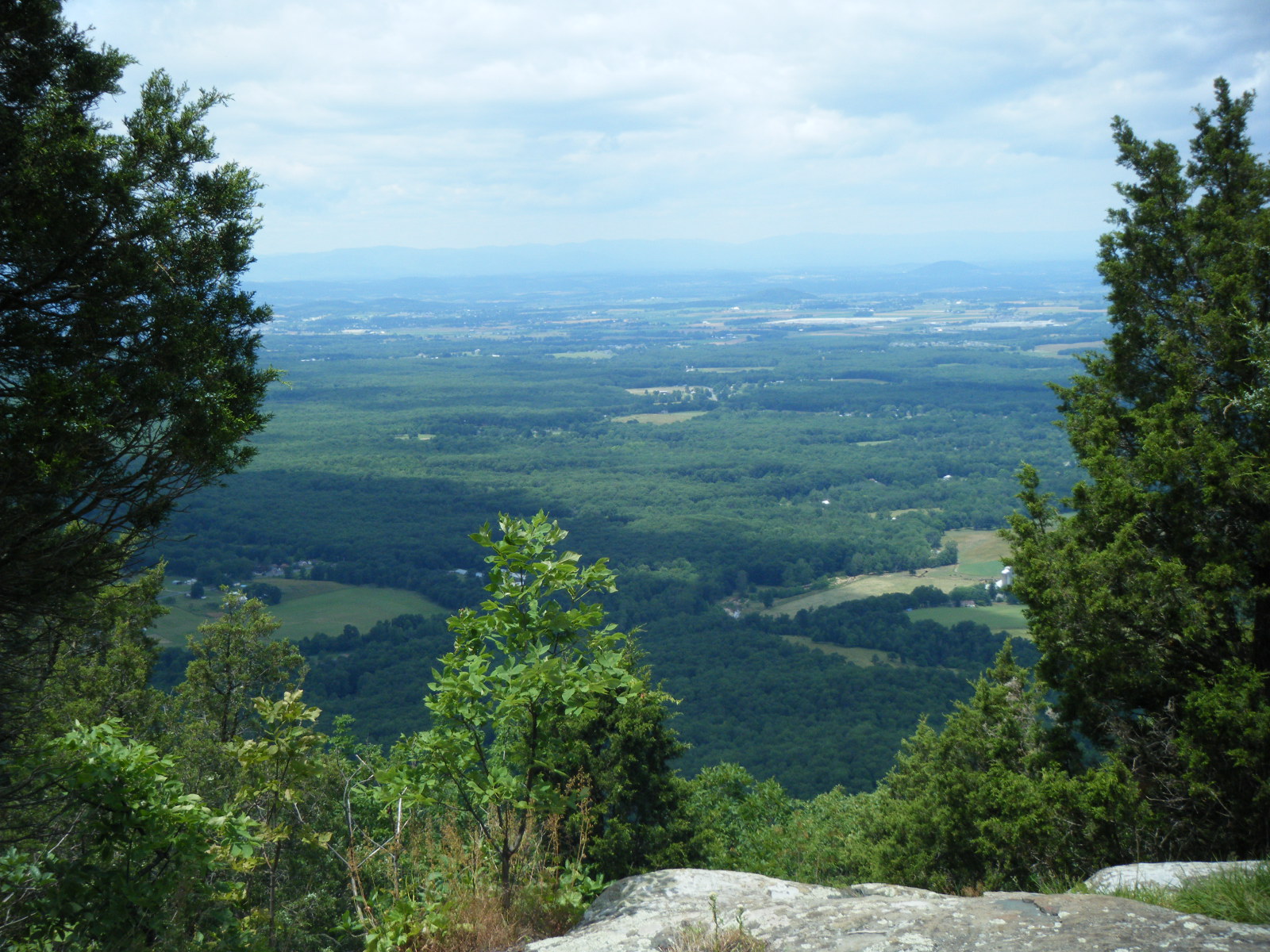
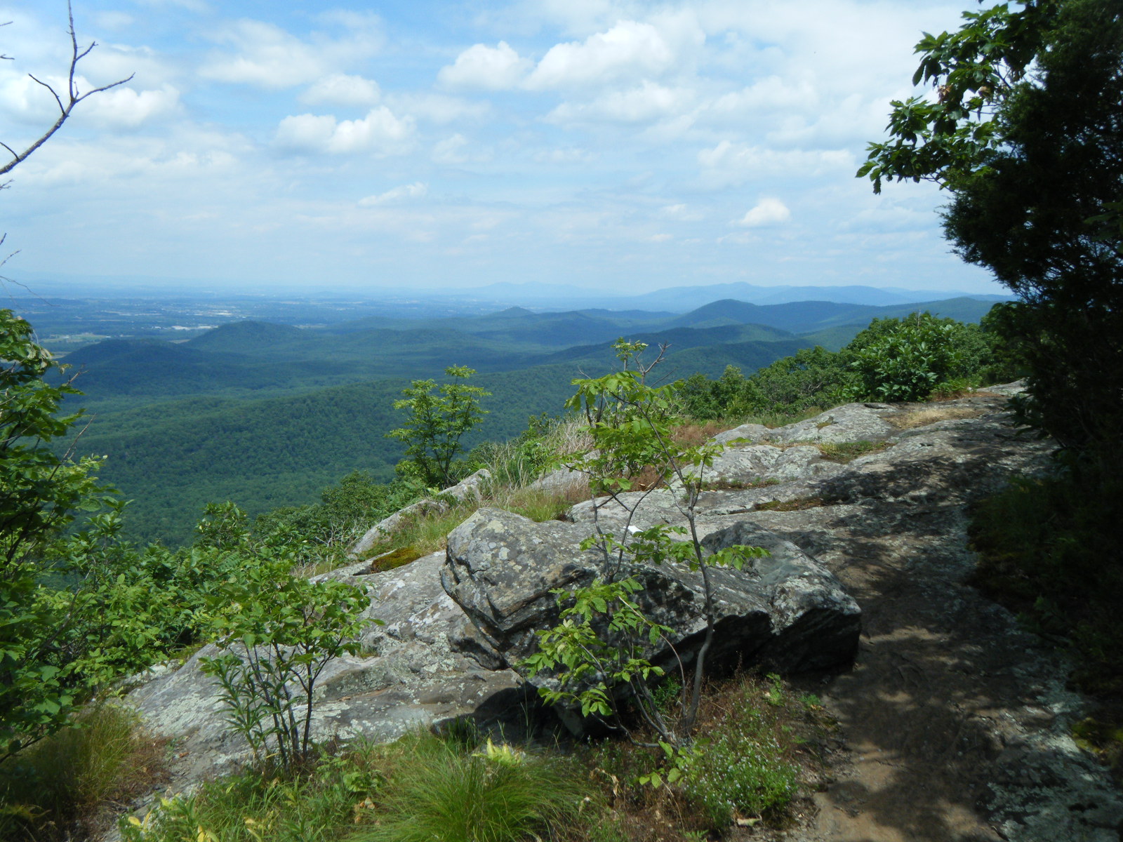
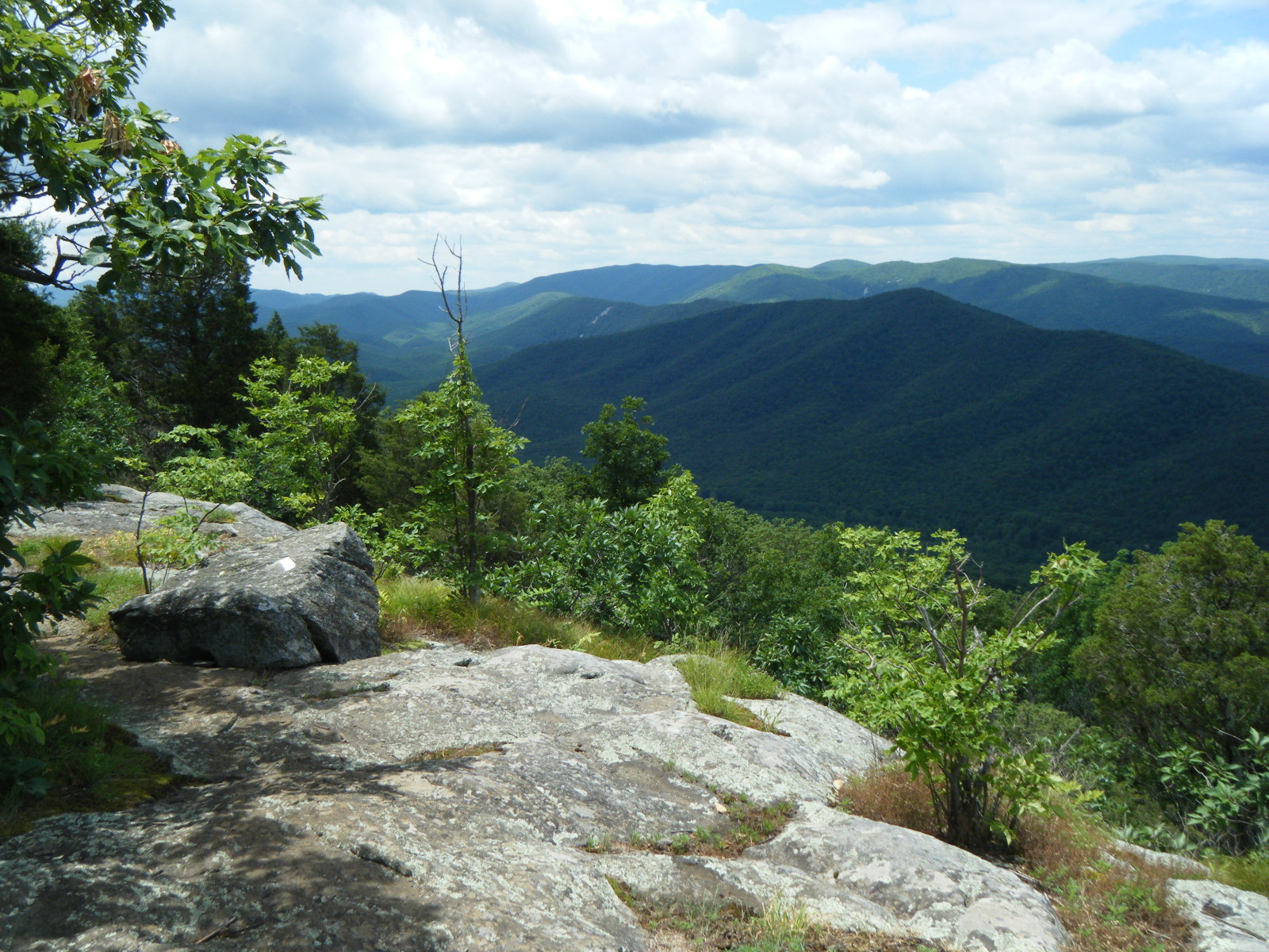
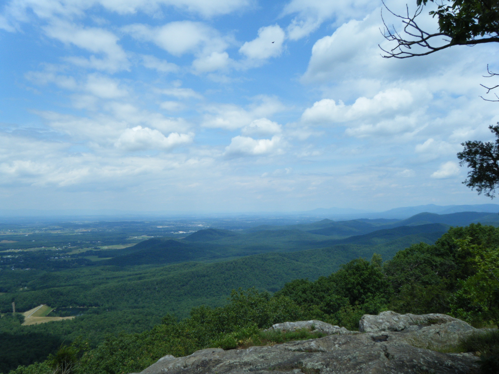
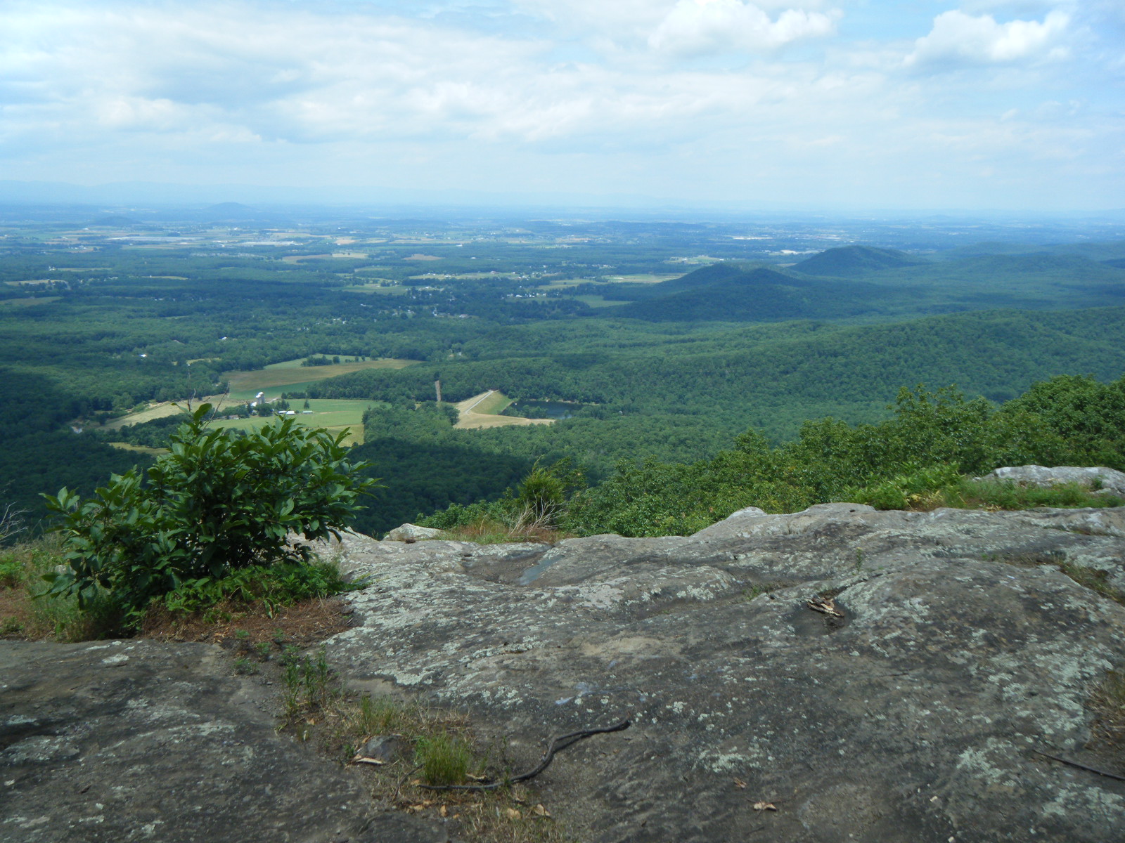
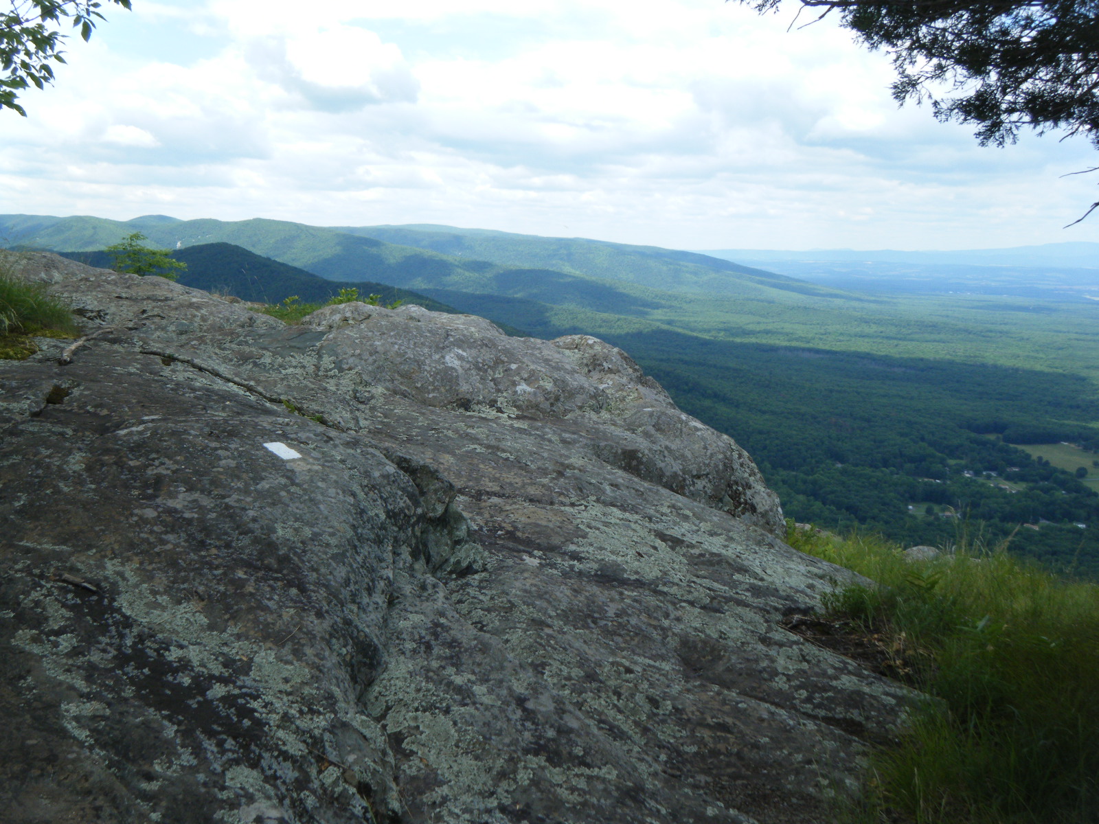
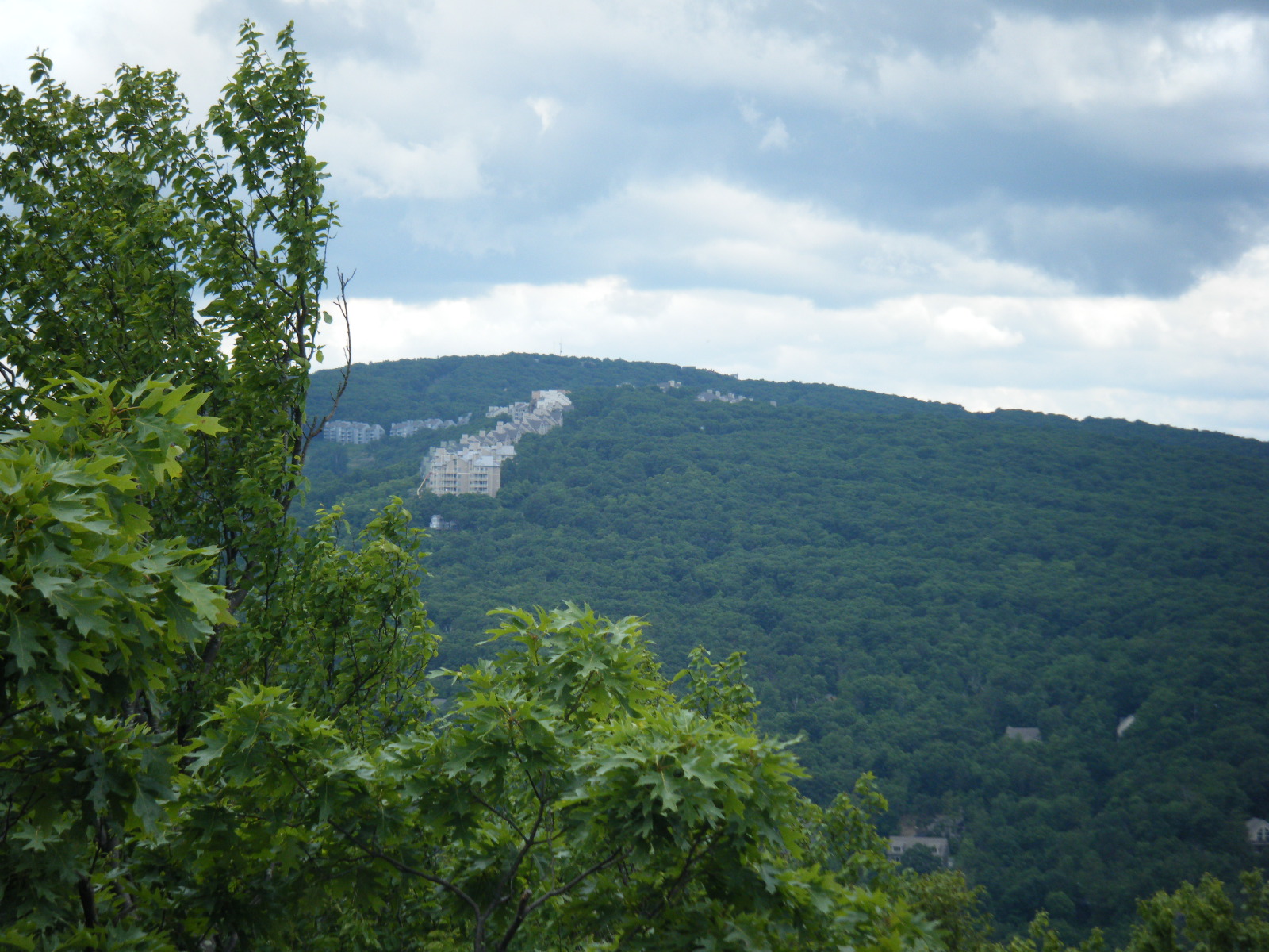
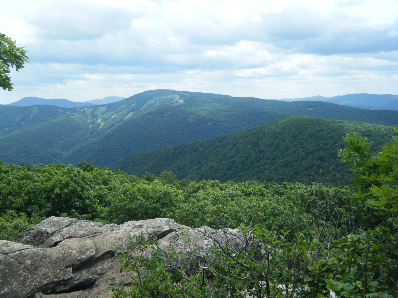
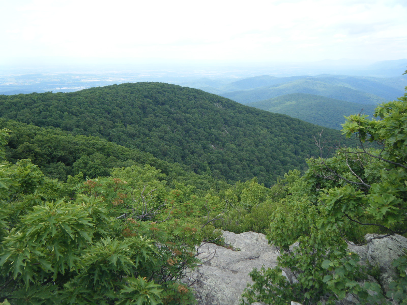
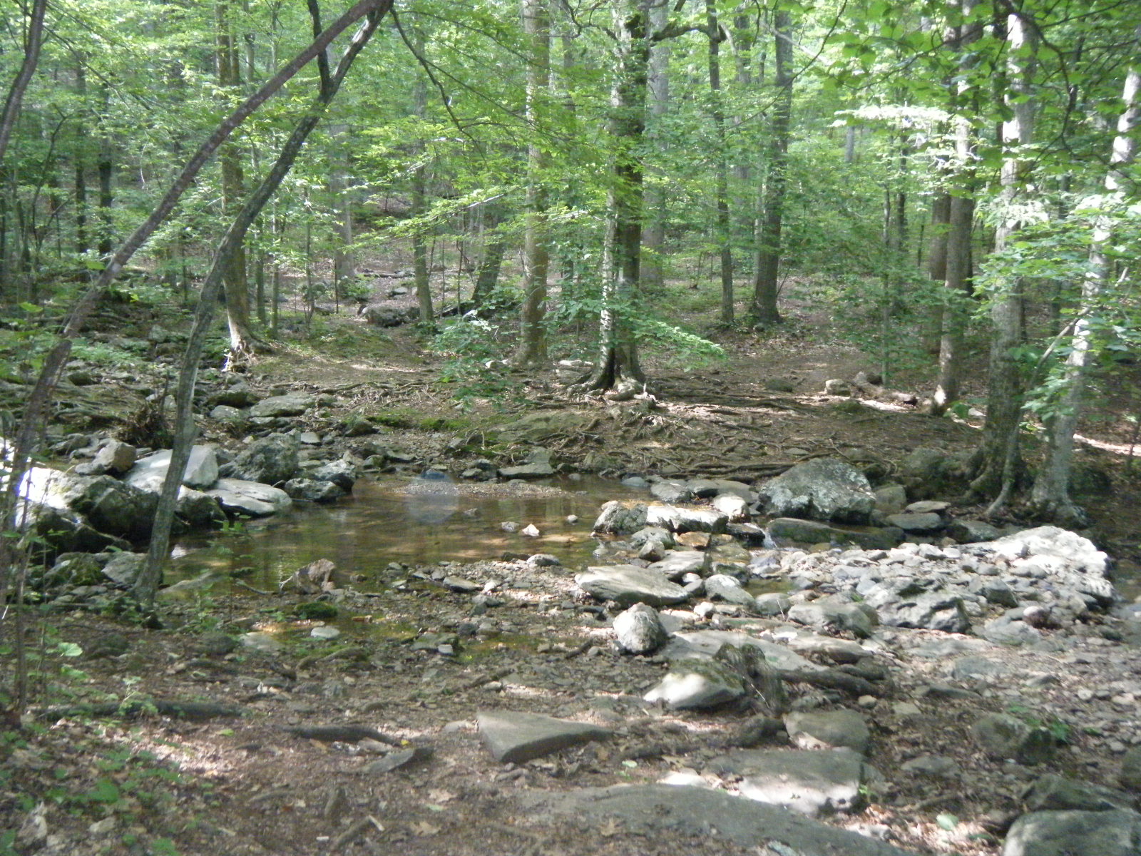
I awoke Tuesday June 7 and hiked 7.5 miles to Bearwallow Gap for water and lunch. Water is starting to get pretty scarce in places – the shelter at 744.9 (Cove Mountain Shelter) doesn’t have any water source at all. I pushed on 10.3, passing Jennings Creek along the way. There’s a swimming hole in Jennings Creek, and if I’d had any friends with me, or if it wasn’t already late in the day, I probably would have jumped in. As it was, I just wet my hat and bandana and moved on to Bryant Ridge Shelter, which was a mansion. It sleeps 20, and it’s even architecturally interesting. It has a couple porches, picnic table, and two sleeping platforms that aren’t just glorified bunk-beds as most multi-story shelters are. As I arrived at the shelter, there was a guy taking a bath in the water source, which I always love to see. Someone had left a bunch of dehydrated meals at the shelter, so I ate some dehydrated apples and took a couple CLIF bars. It was really tempting to stay, but I decided to take water and push on another 3 miles & climb 2000 feet, because it’s better to climb 2000 feet in relative cool then rest and climb another 1000 in the morning, than to climb 3000 feet in sunlight. I ended up tenting at campsite actually in the guidebook, close to a spring, on the side of Floyd Mountain – fitting. This stretch of trail intersected the Blue Ridge Parkway quite often, giving some pretty decent views from paved roads. If you want to see AT sights but you don’t want to walk, the Blue Ridge Parkway (and Skyline Drive as it’s called while it’s in Shenandoah National Park) is for you. I’ve been getting better and better at pitching my tent, and this night it was downright roomy inside. It was a fine ending to a very hot day, especially considering that I’ve discovered a new insect – I call it To The Death (TTD). It is named as such because once it finds you, it circles you forever, intermittently landing on your head and shoulders. If you ignore it, it bites you, and it hurts quite a bit. If you swat at it, it dodges and continues circling and landing. There is absolutely nothing you can do to escape it, except to kill it. Literally, I had to drop my poles and wait for it to land on my shoulder and bite me, just so I could smack it dead. It’s horrible.
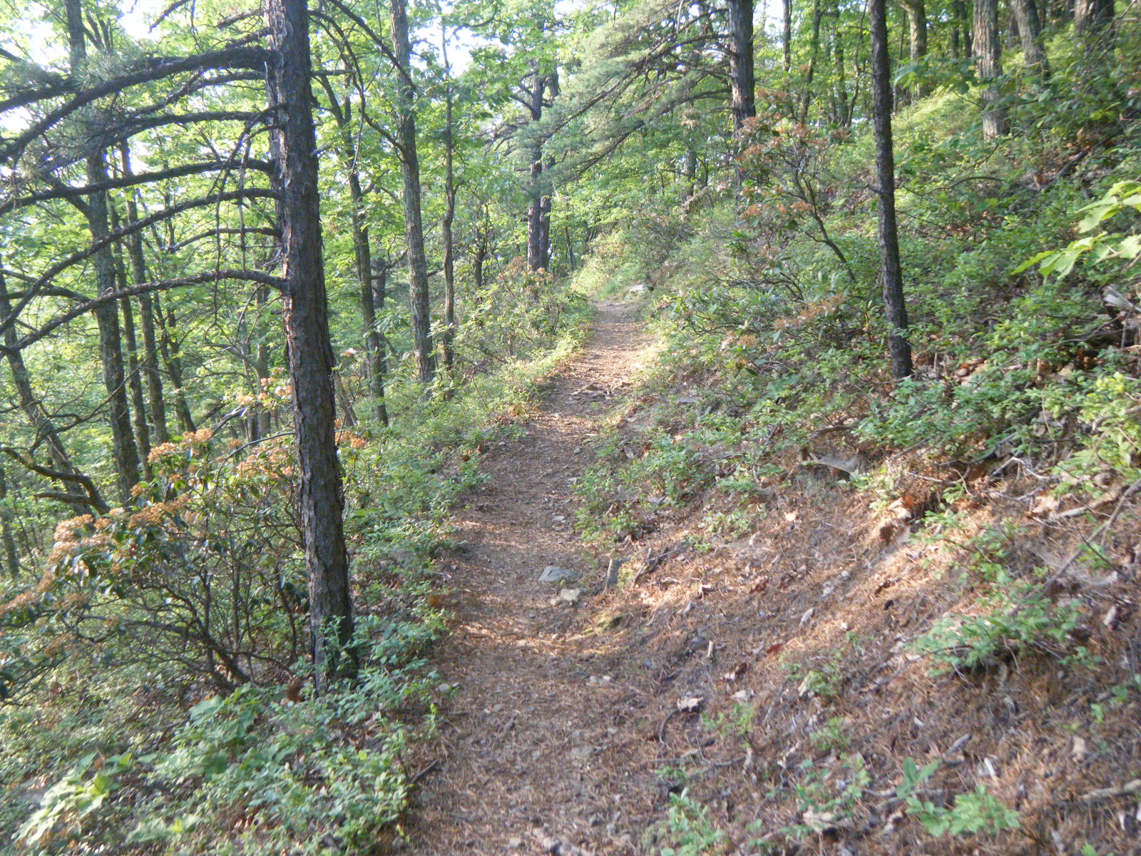
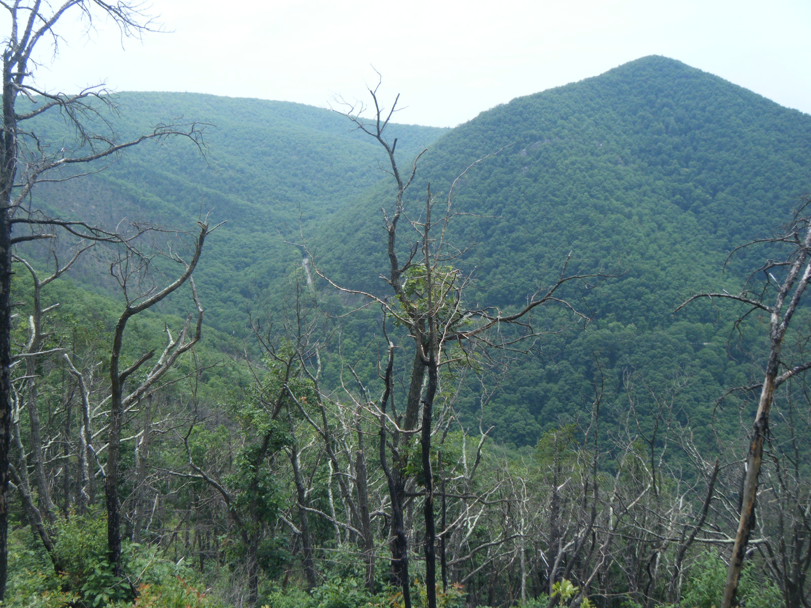
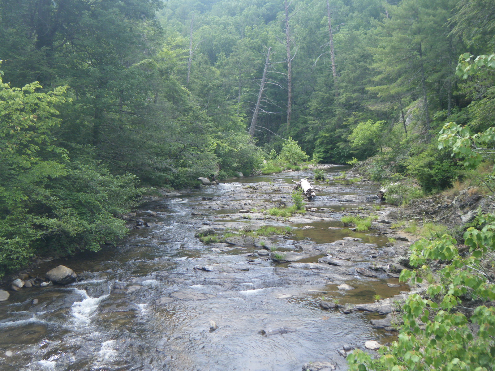
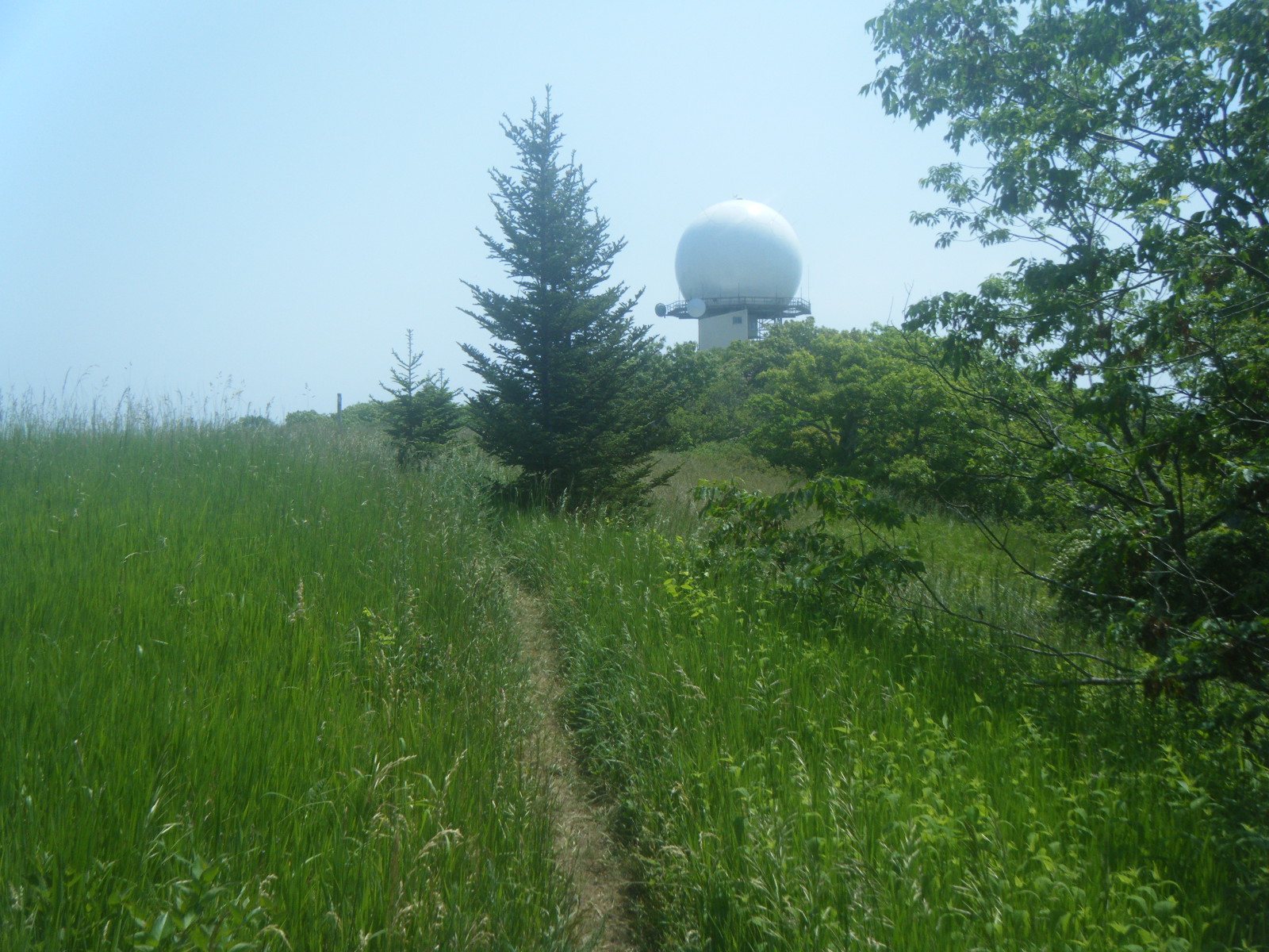
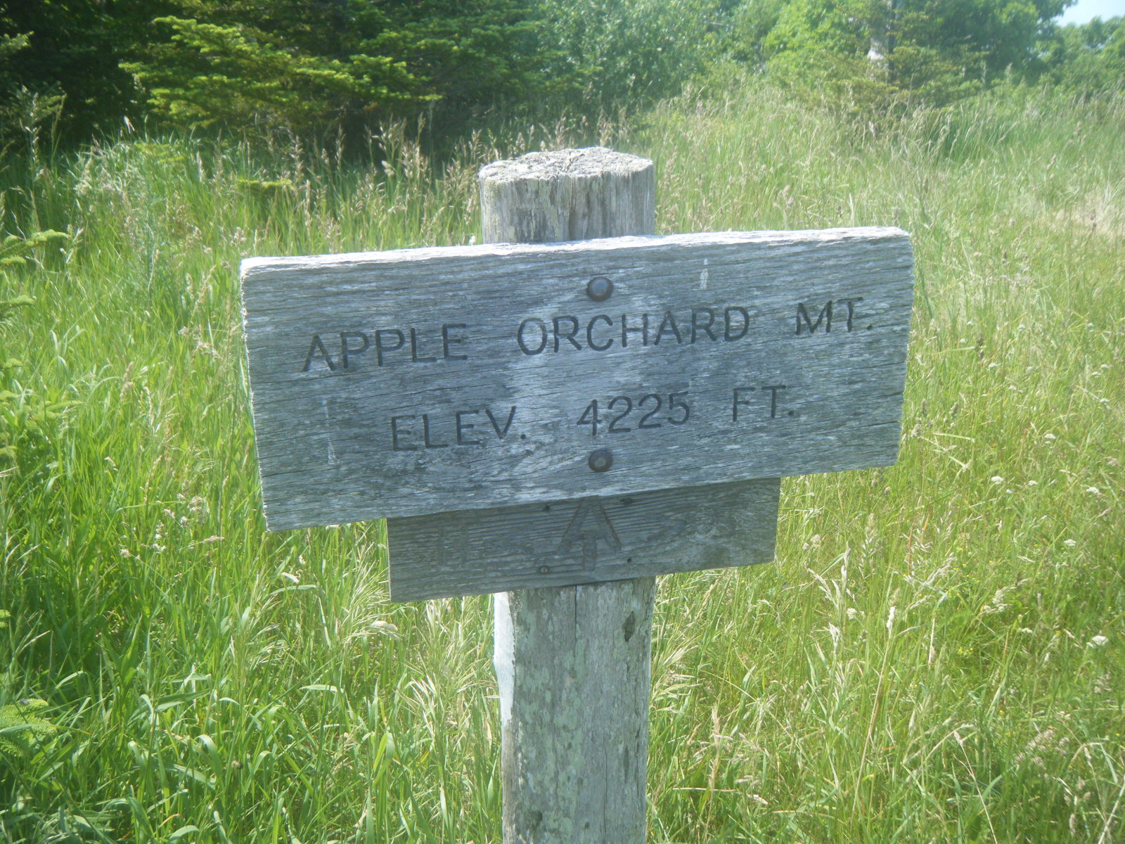
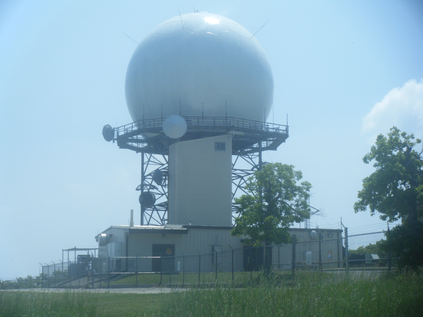
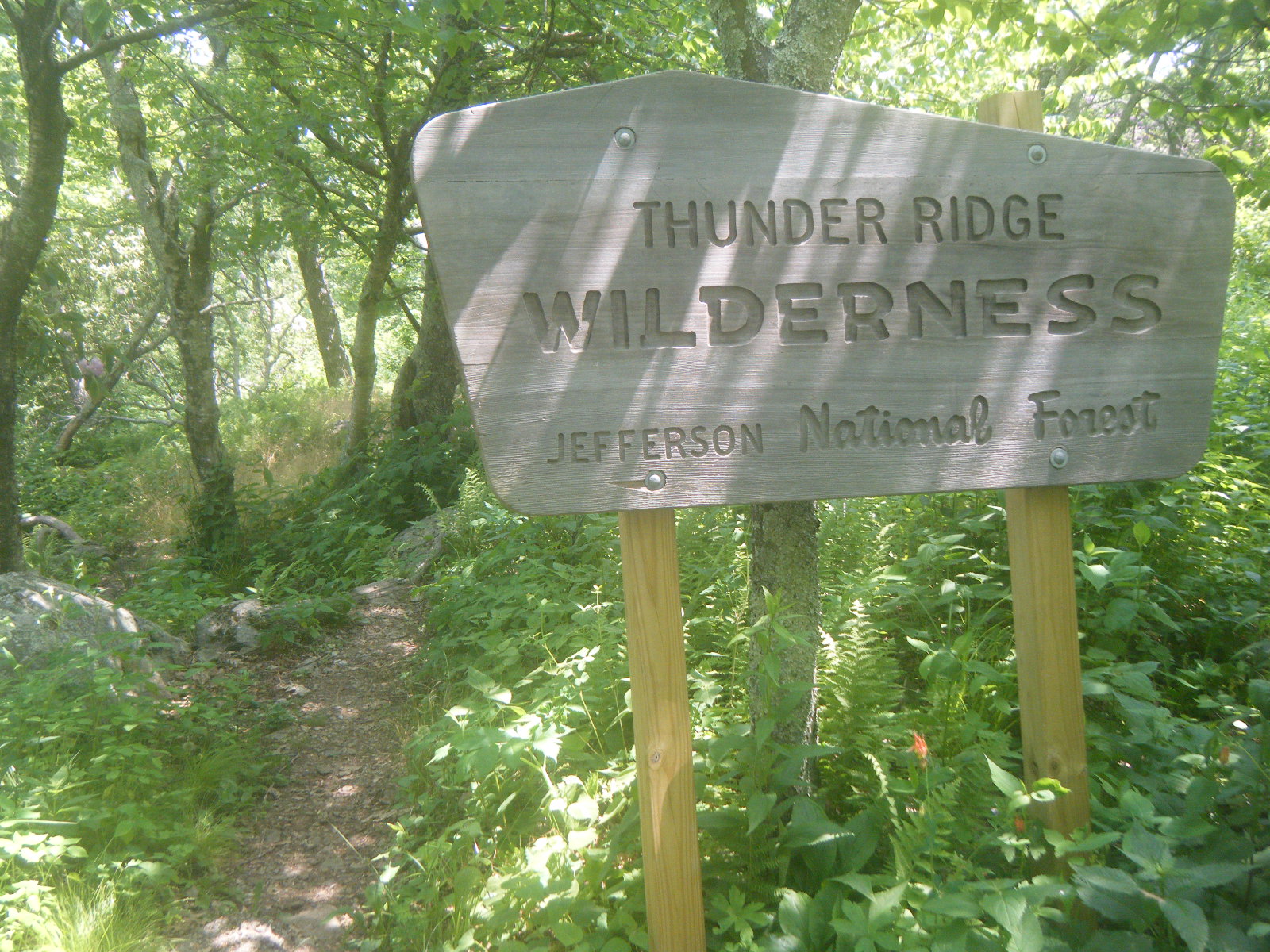
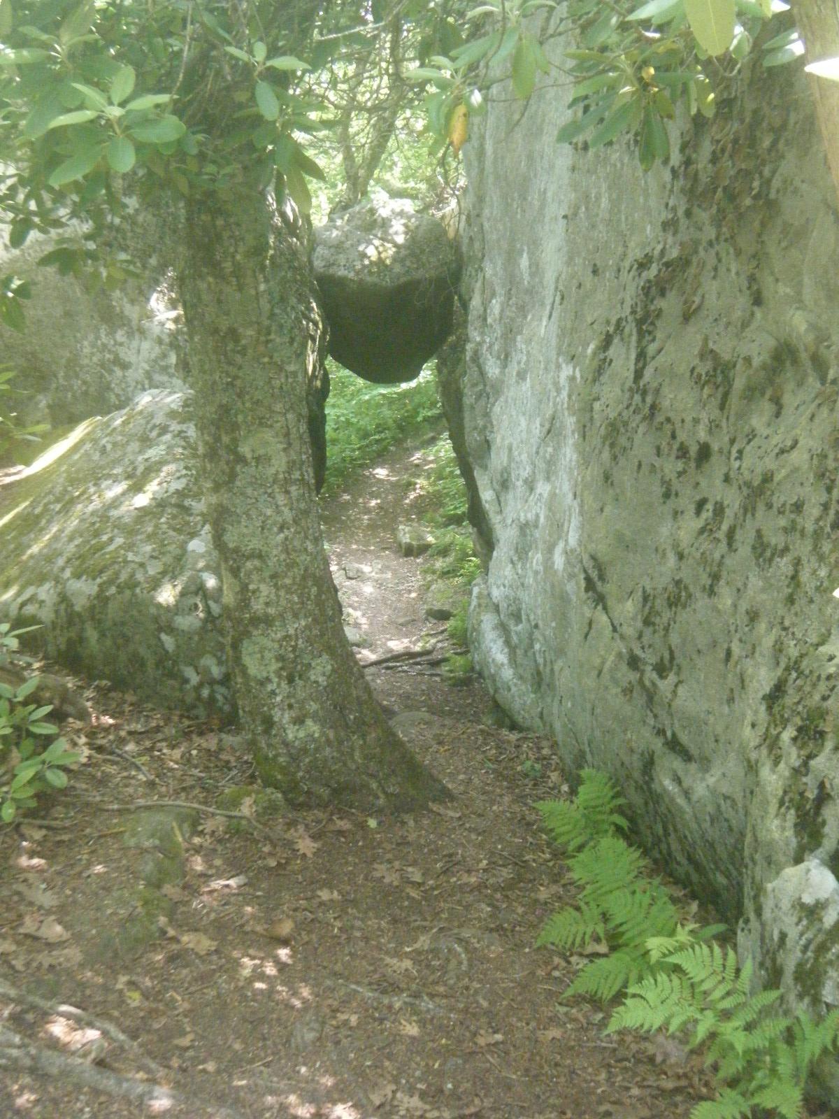
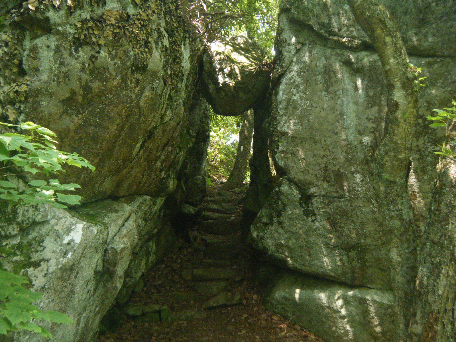
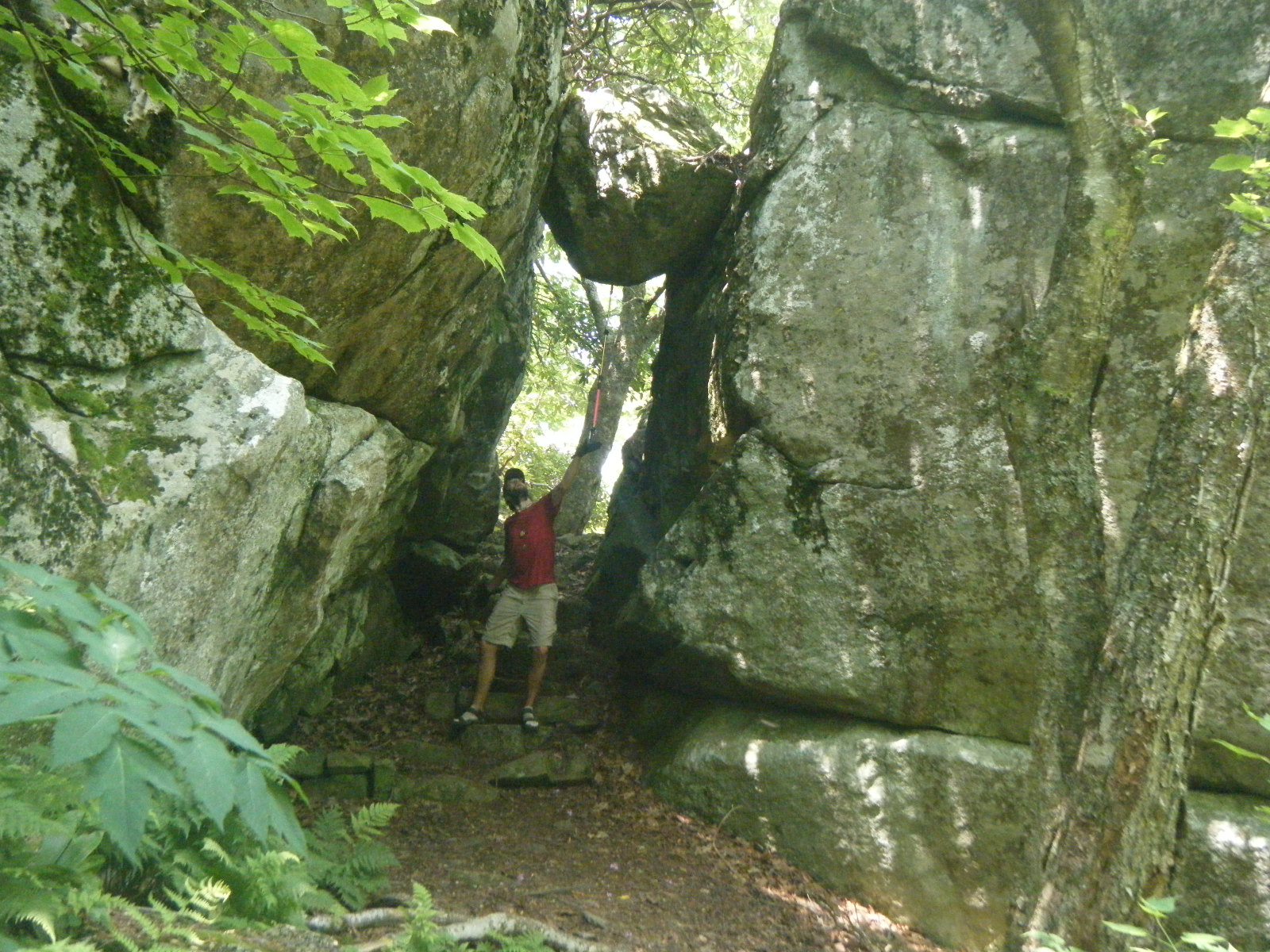
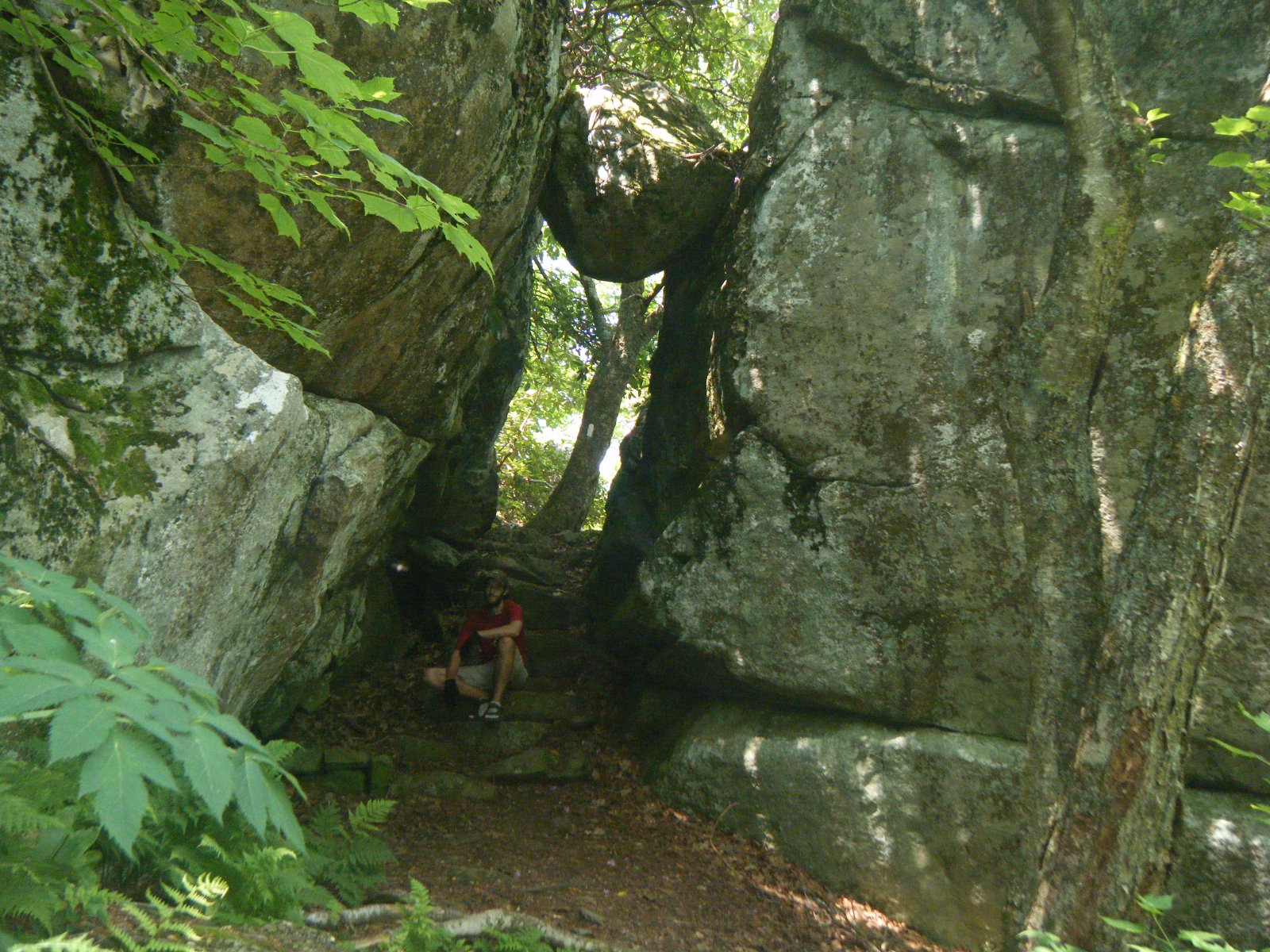
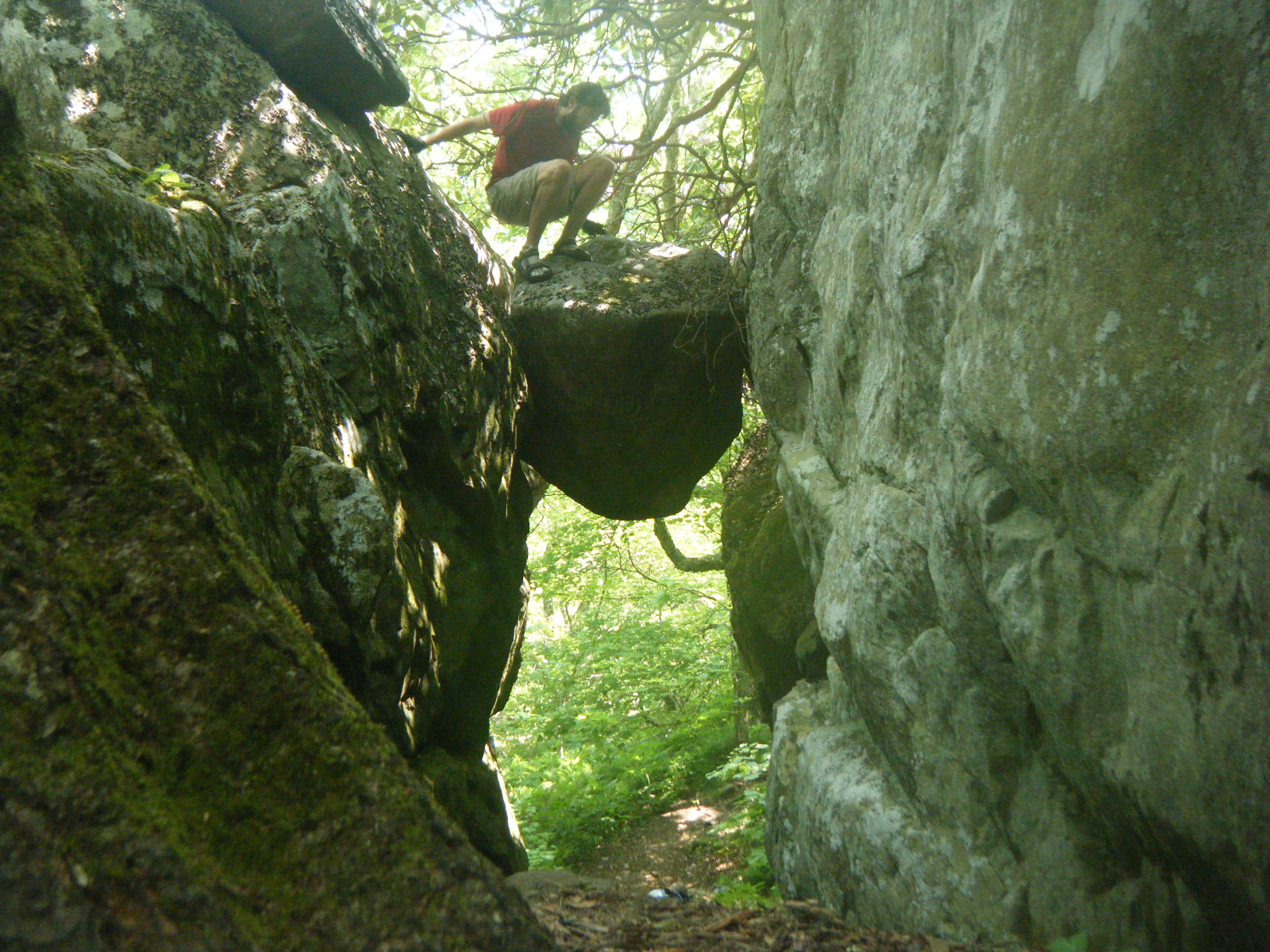
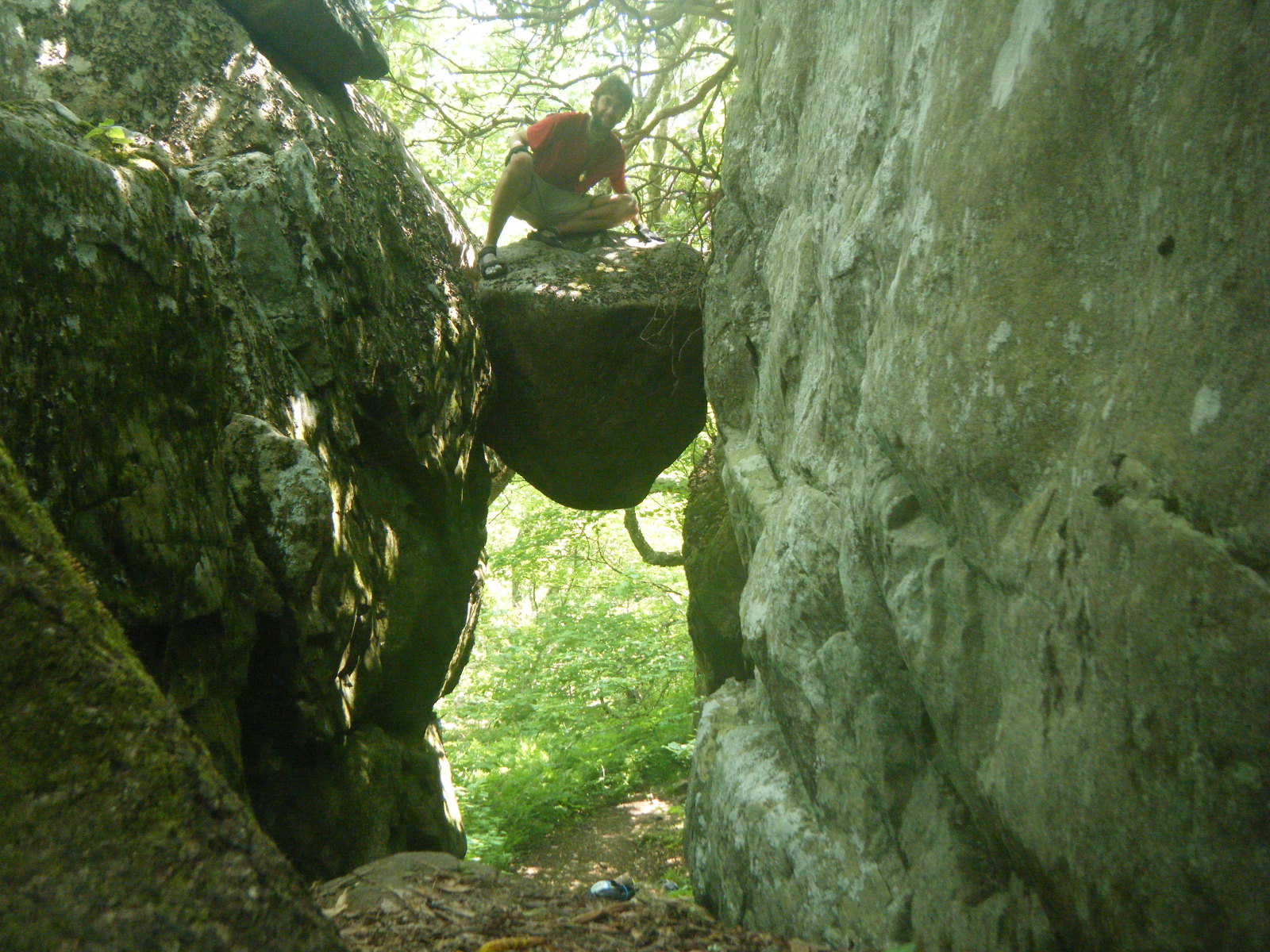
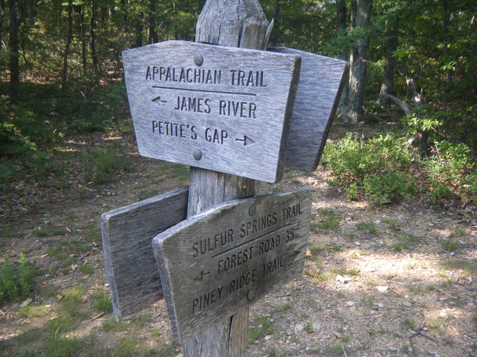
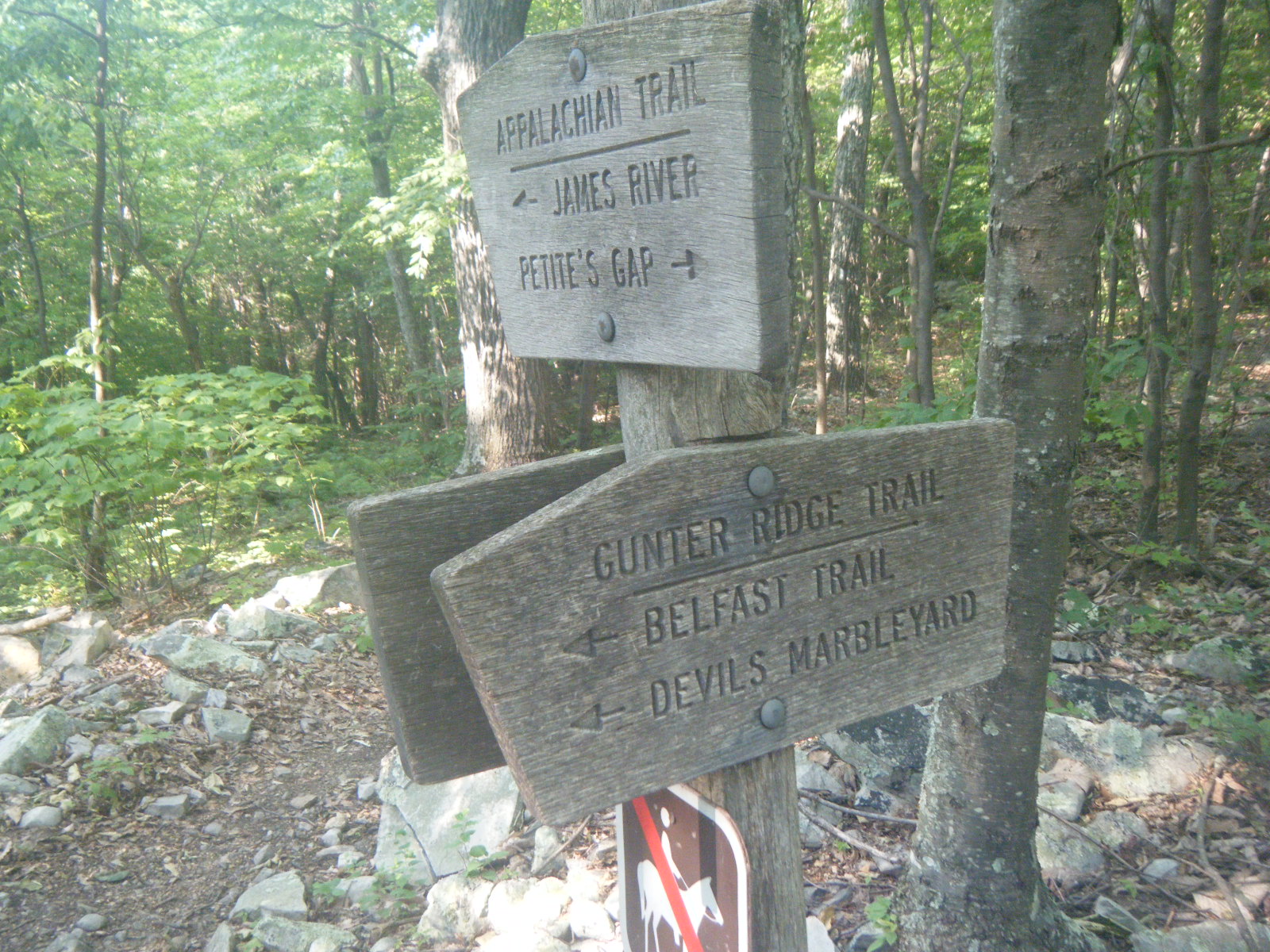
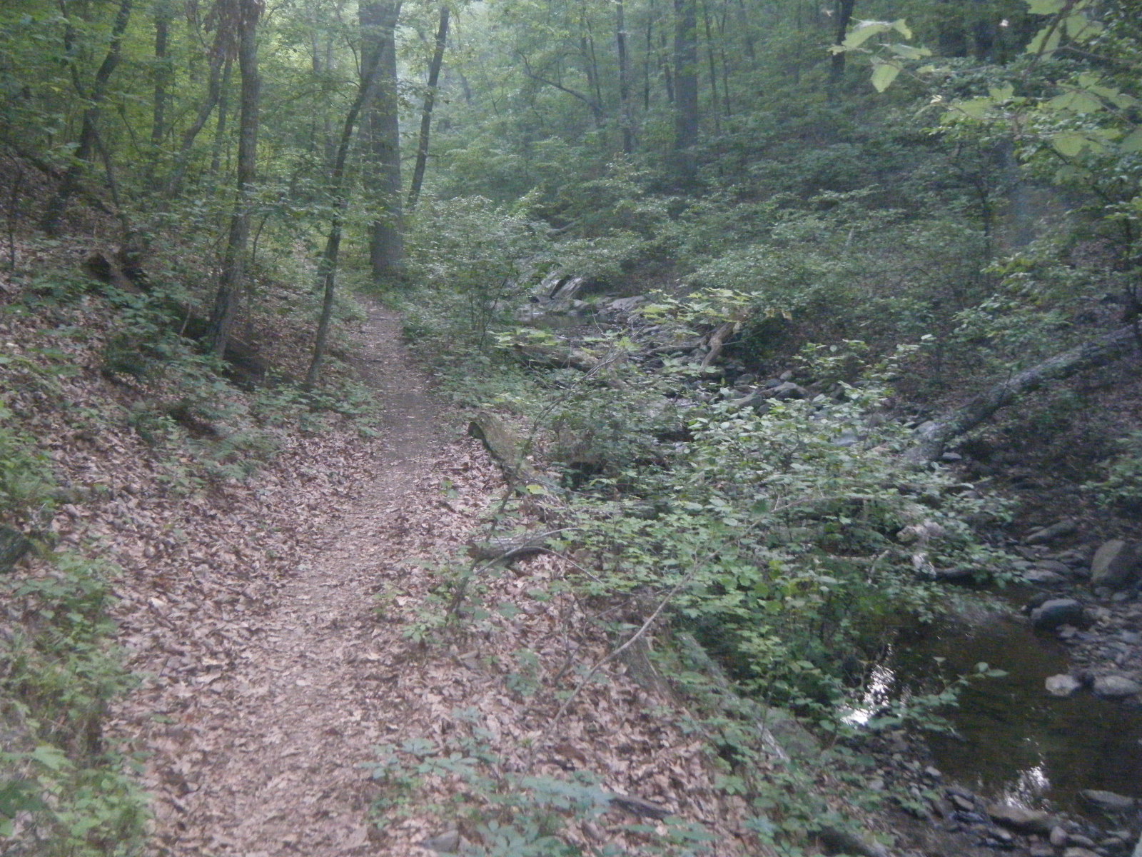
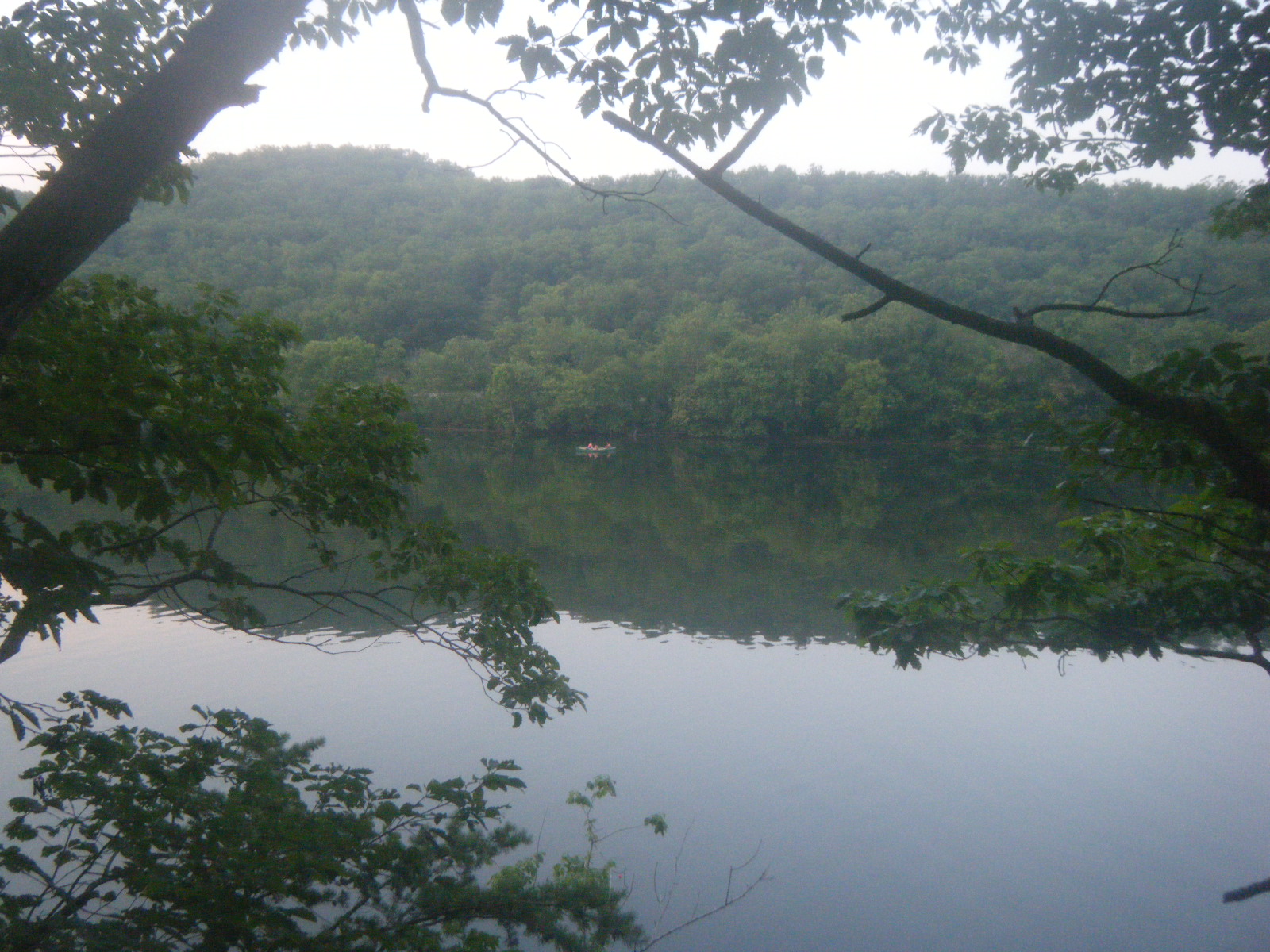
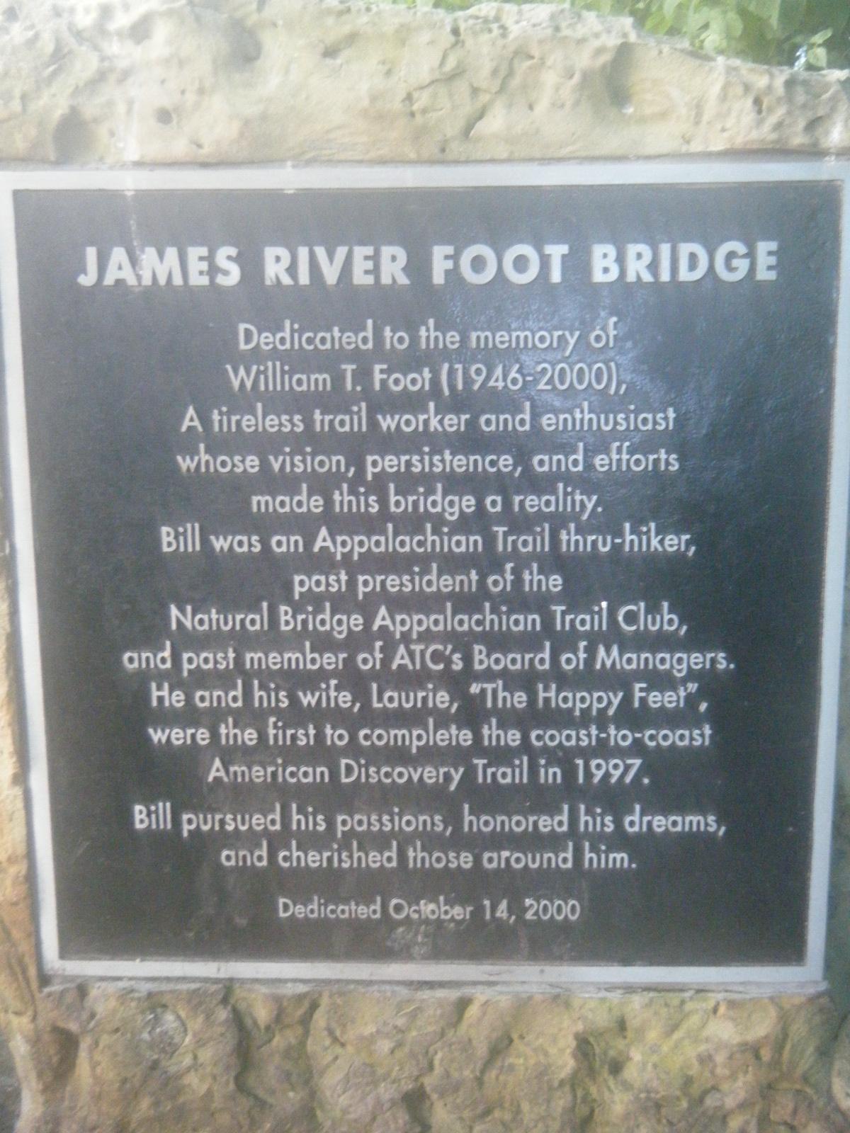
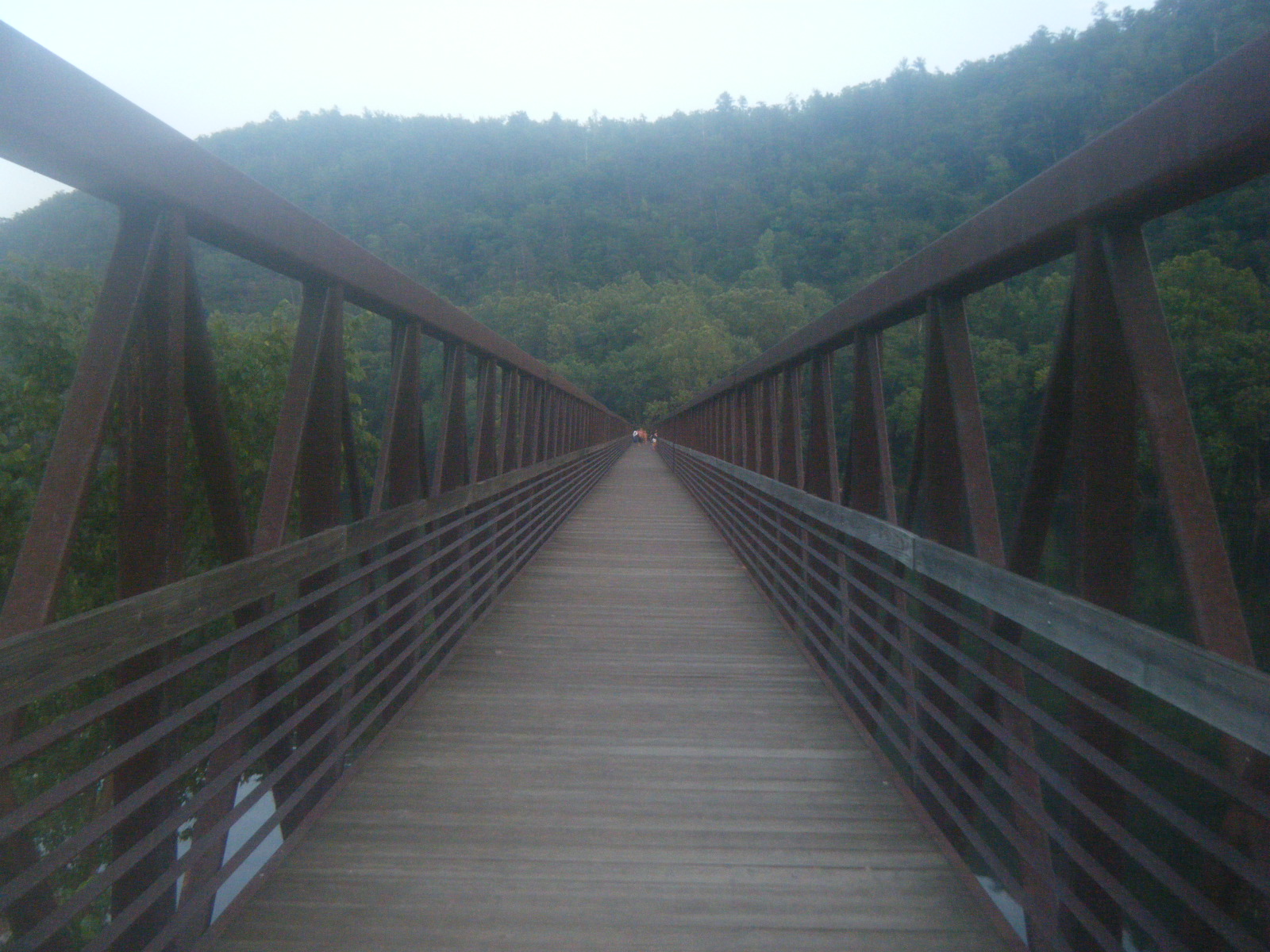
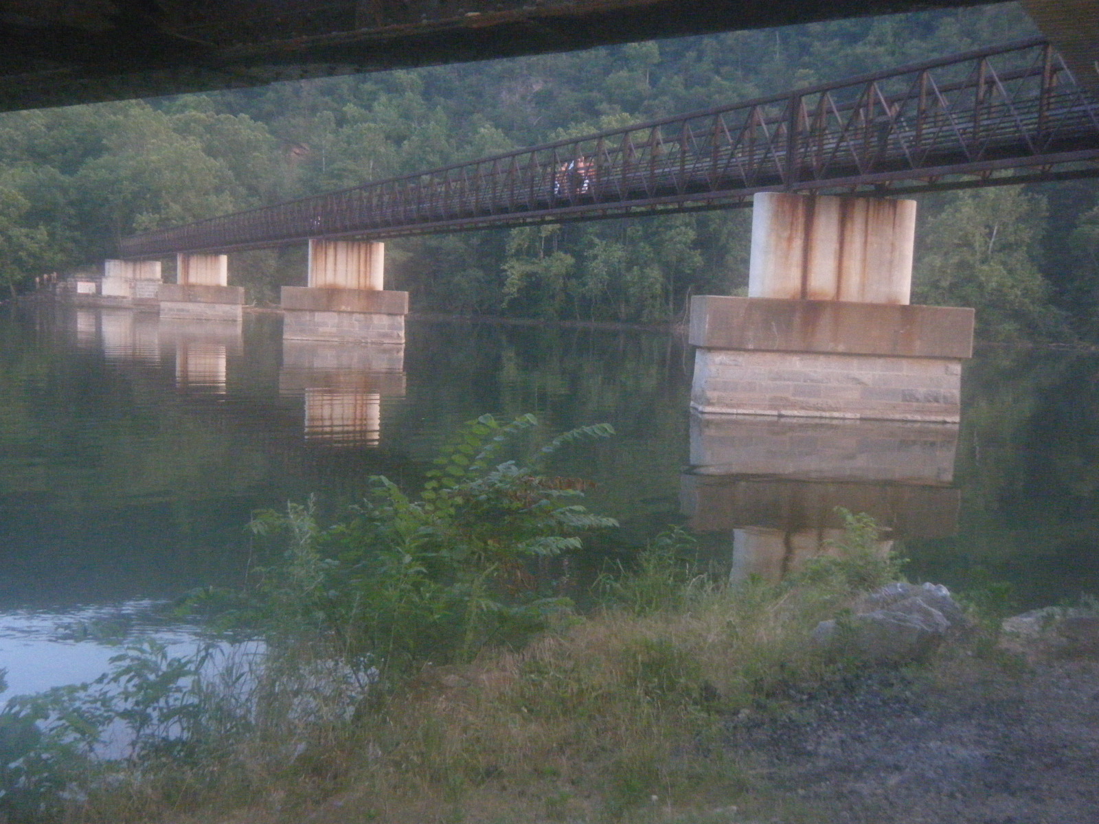
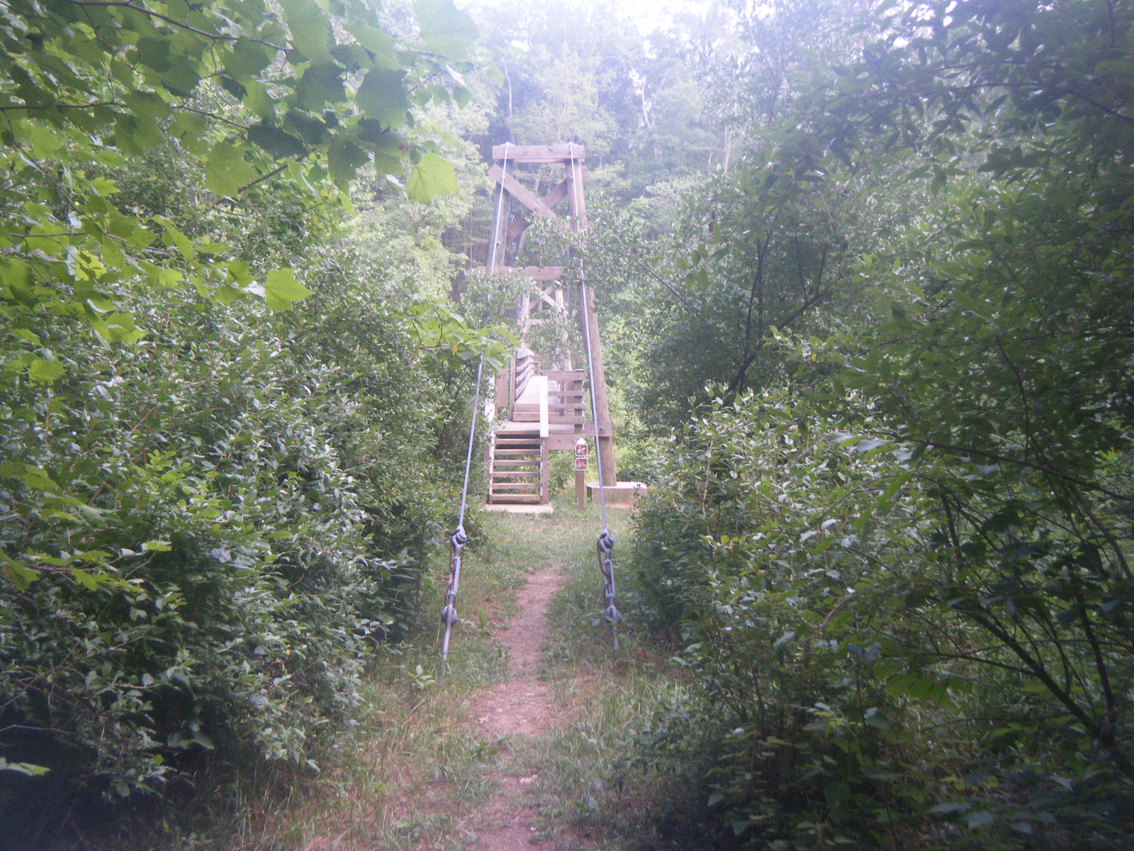
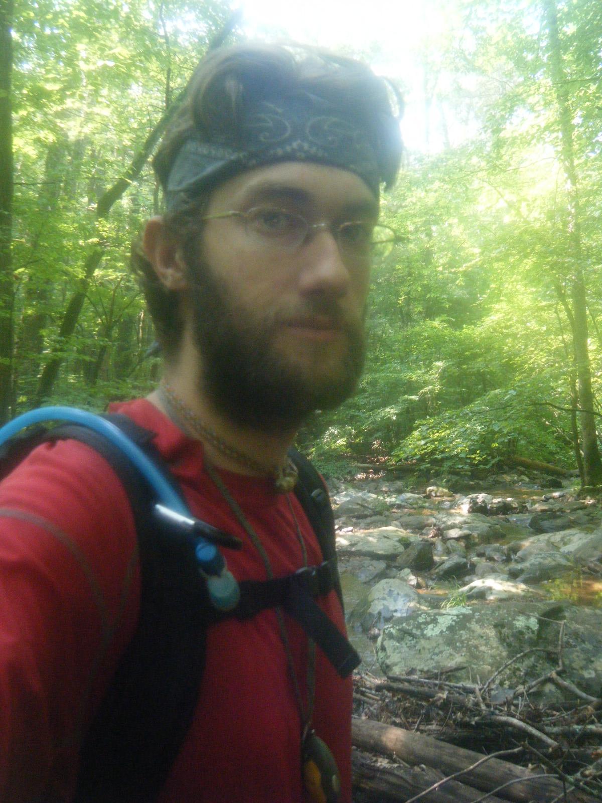
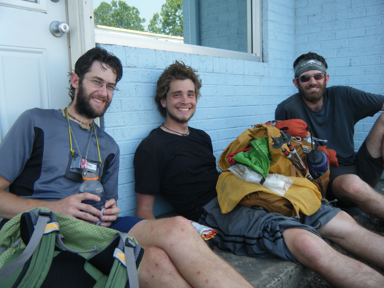
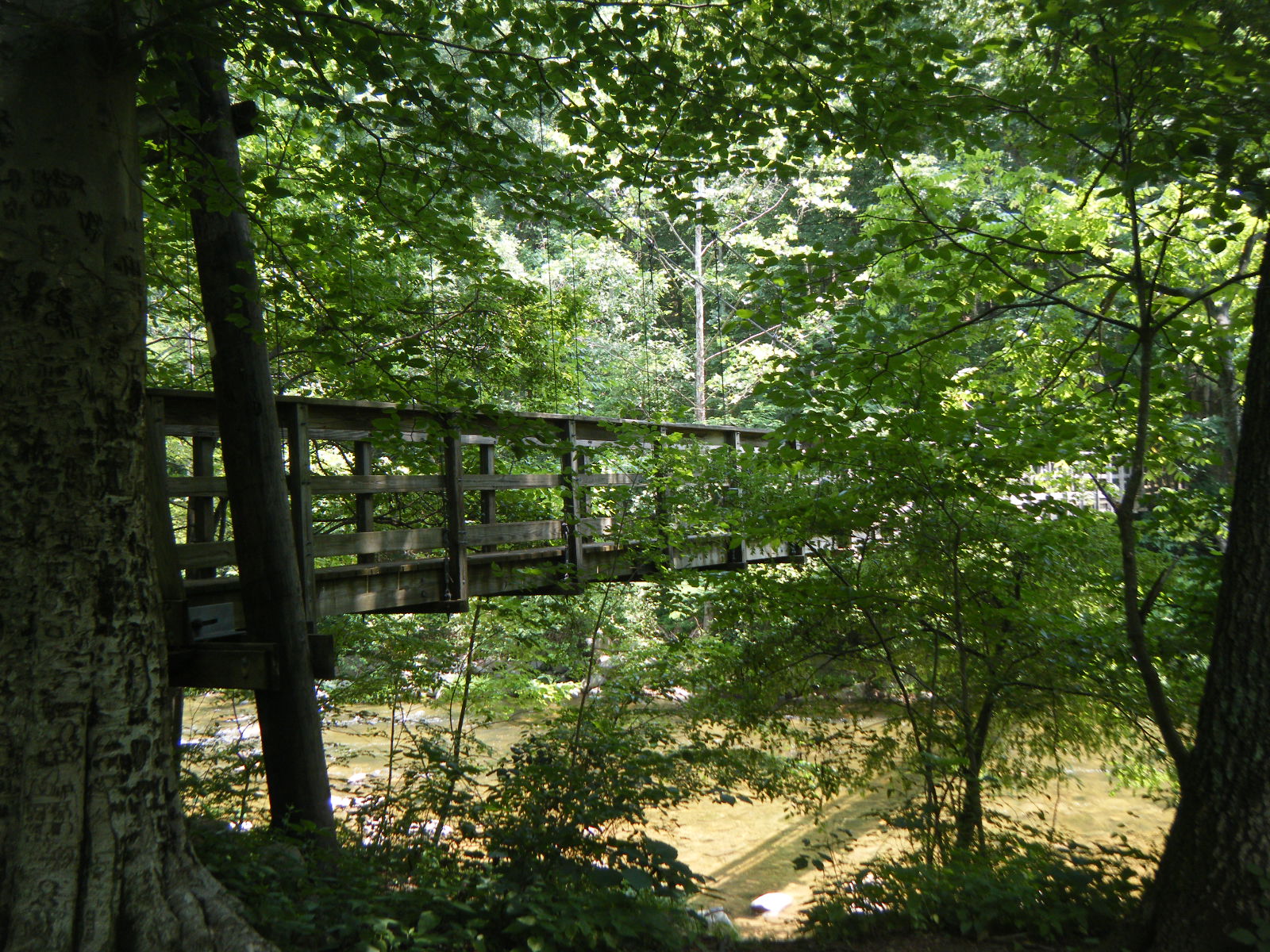
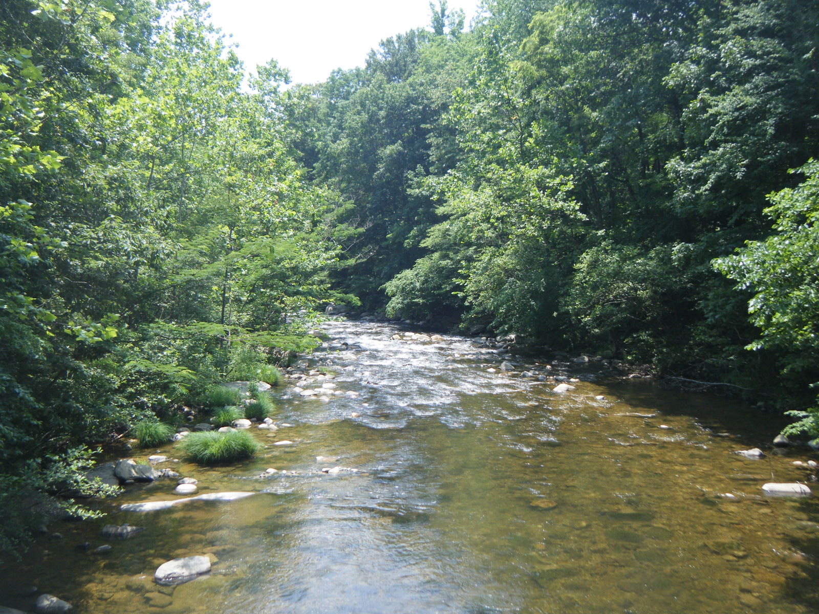
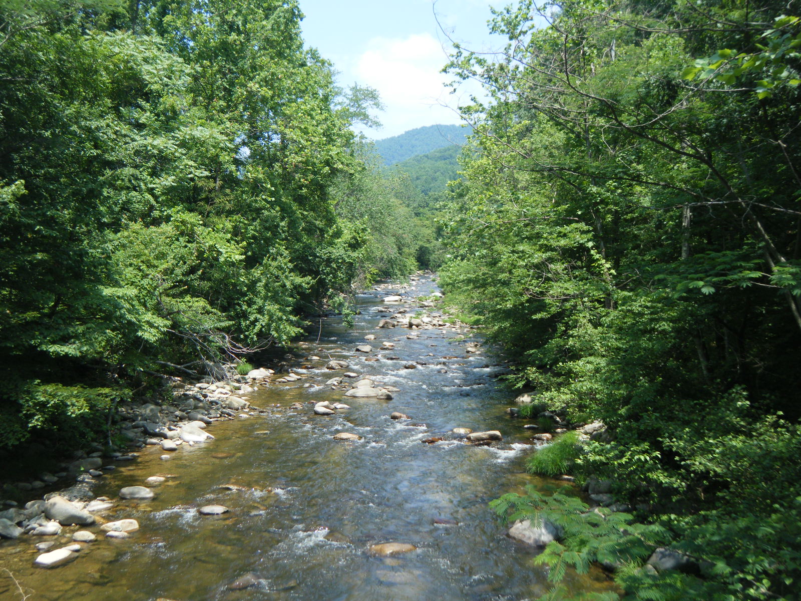
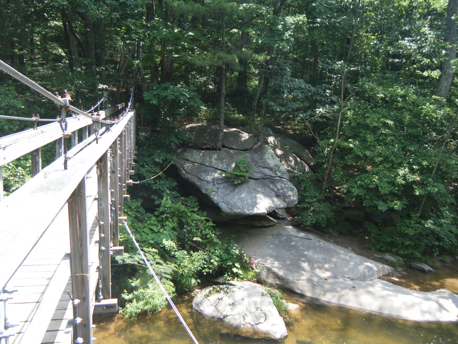
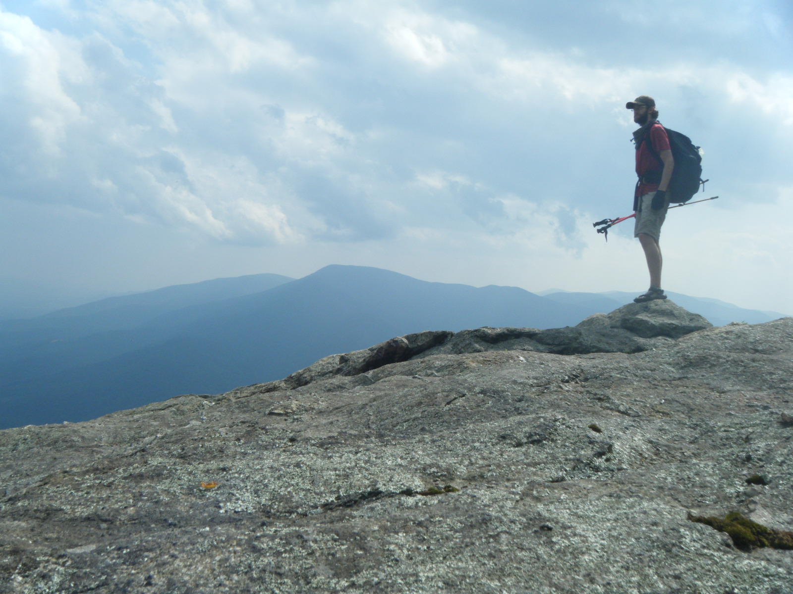
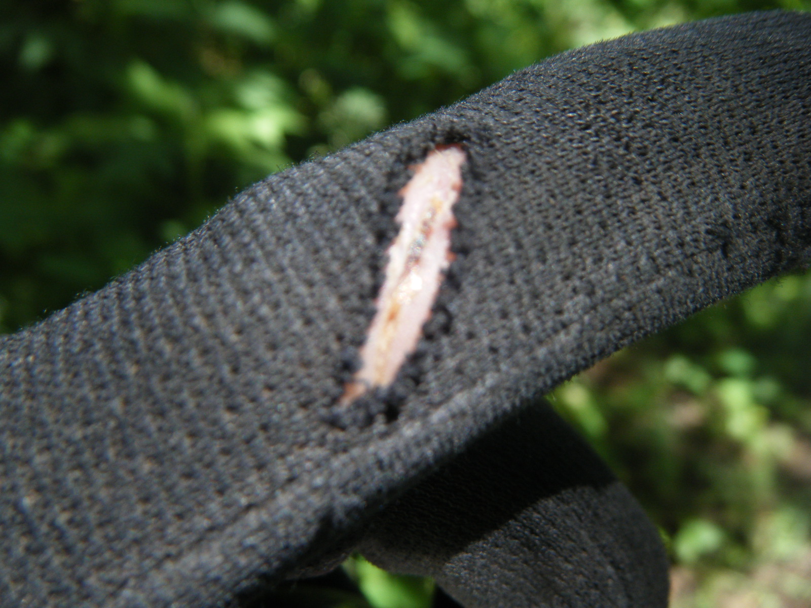
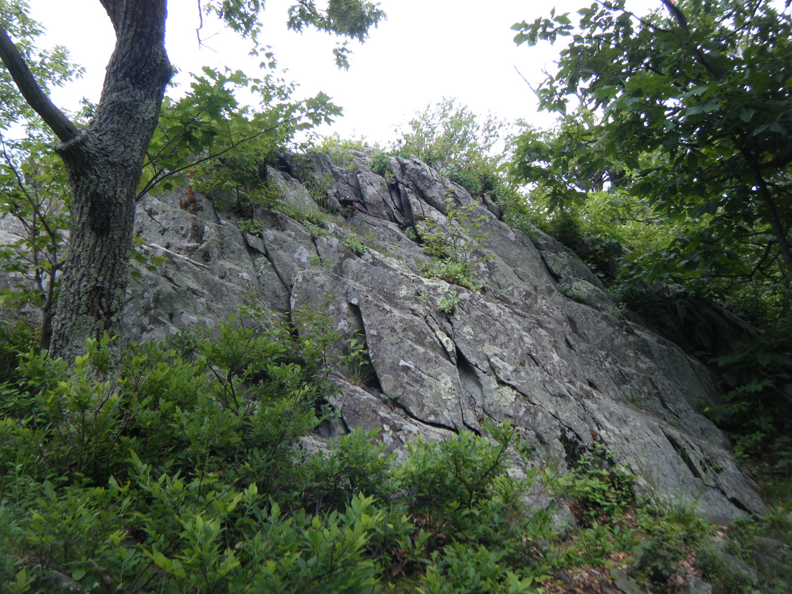
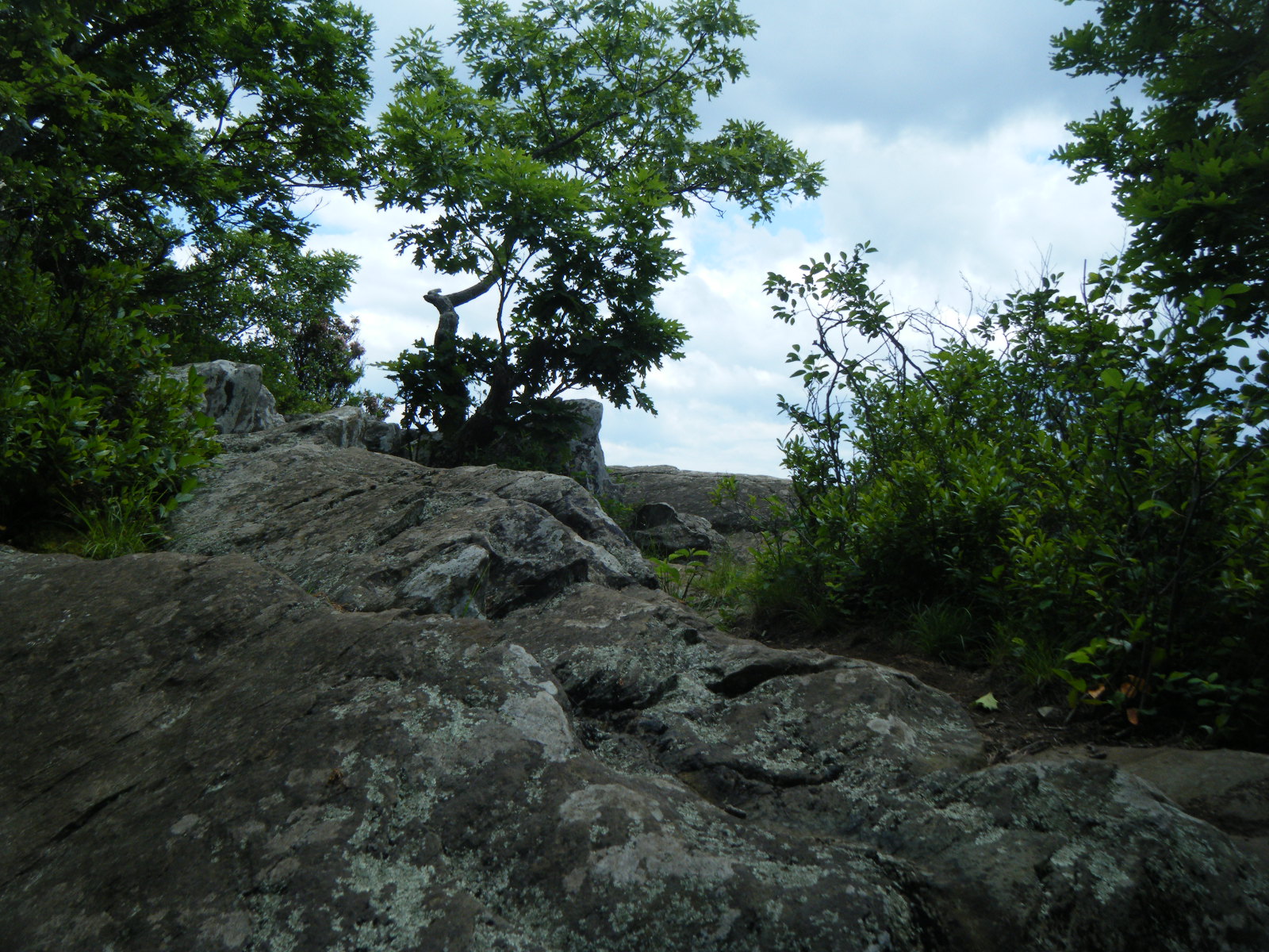
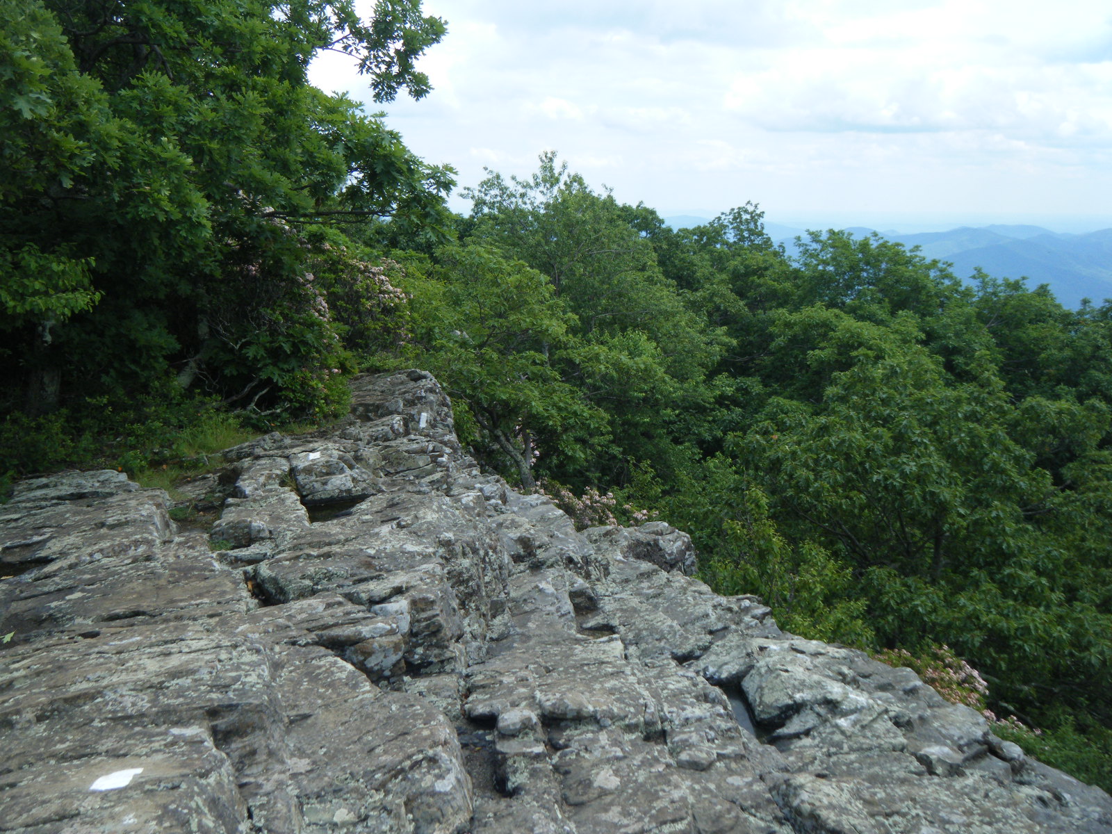
On Wednesday June 8 I climbed to the summit of Floyd Mountain and then stopped at Cornelius Creek Shelter to use the privy. I tacked on another 5.3 miles to Thunder Hill Shelter for lunch, passing The Guillotine along the way. I stopped for a bit at The Guillotine to take some pictures – I even managed to use the camera’s 10-second timer to get a photo of me on top of The Guillotine. That was tricky. After lunch at Thunder Hill, the heat of the day had kicked in full force, but I did another 16.3 miles anyway. This included a very steep, very rocky, very exposed, very breezeless climb up out of Petites Gap. The temperature at this point was about 100F, and certainly felt quite a lot higher given the conditions. It was miserable, but I passed Matt’s Creek Shelter and met up with Croc and Saunter again at the James River, then continued across the James River footbridge (longest foot-traffic-only bridge on the AT) where people were jumping off into the river, and pushed on to Matt’s Hollow Shelter. Normally I would tank up on water and hike up onto the ridge to camp, but by the time I reached this shelter I was completely wiped out, so I just pulled out my pillow (spare clothes in a stuff sack) and tried to sleep on the wood floor of the shelter. I woke around midnight because the bugs were feasting on my flesh, and hastily pitched my tent. I spent the rest of the night sweating behind bugnet. This day was miserably hot, and the intense humidity kept the heat oppresive through the night. The climbs are insane in weather like this, and to make it even worse the heat kills your appetite, so the climbs are even harder since you have no energy. This day sucked, and made me want to stop hiking.
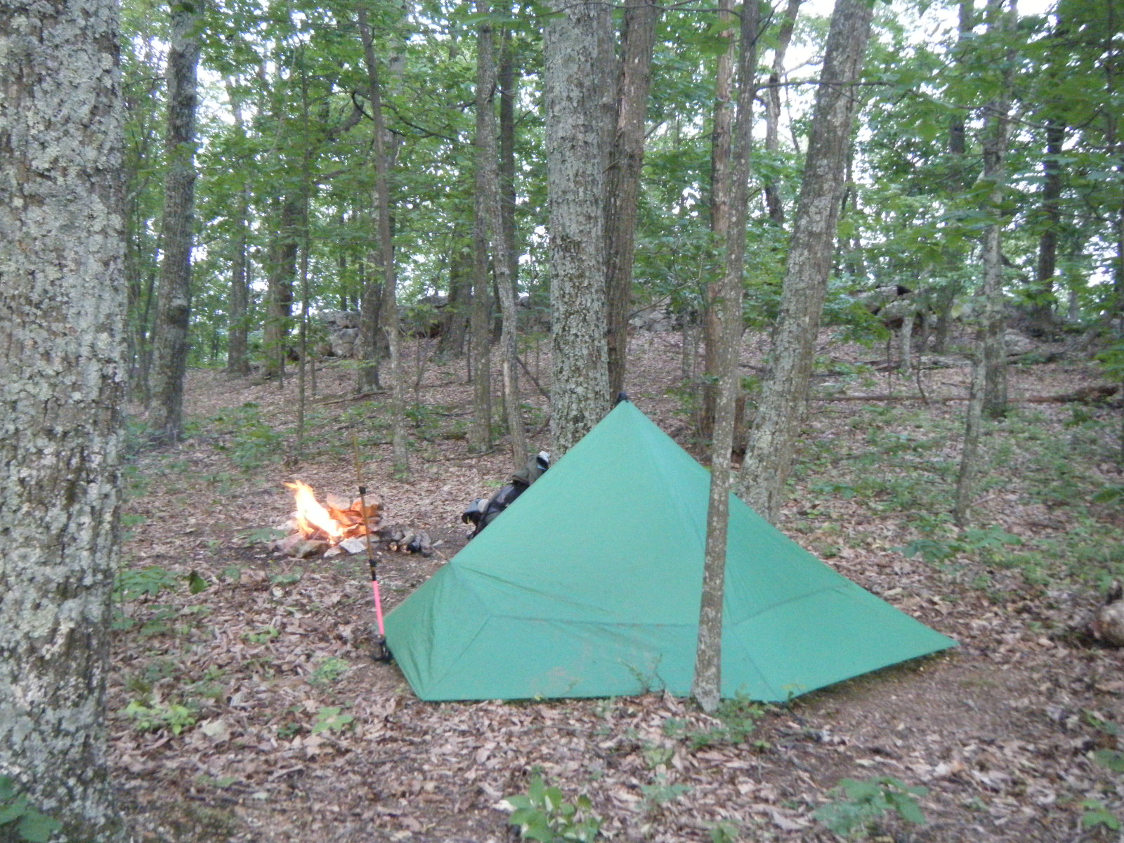
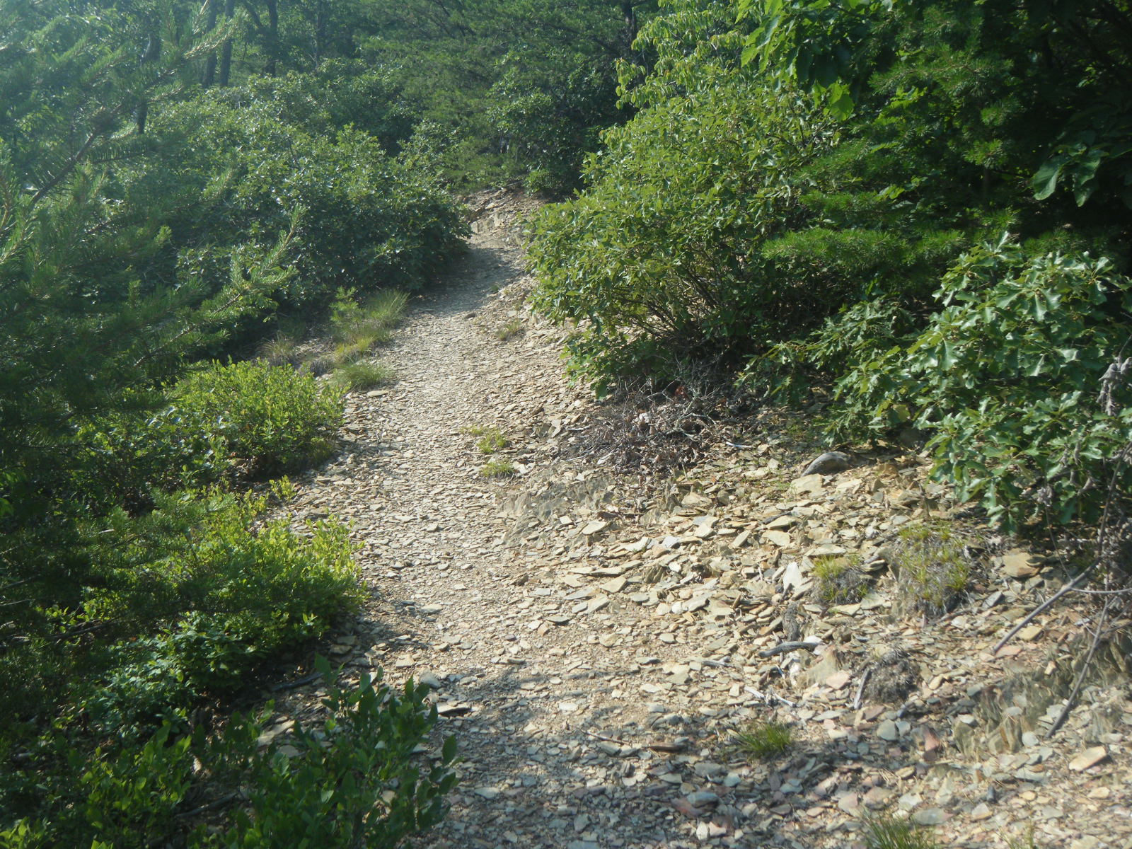
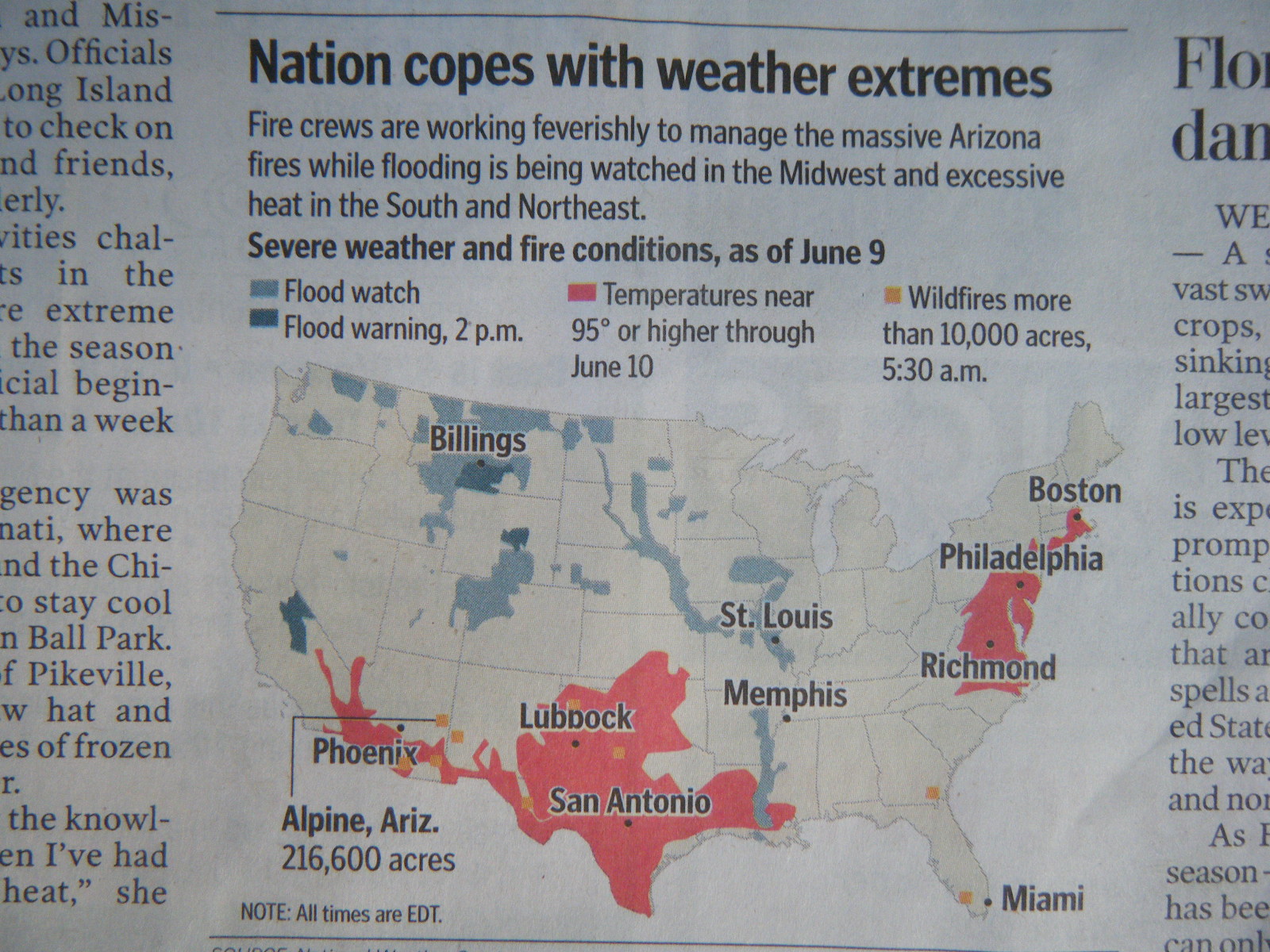
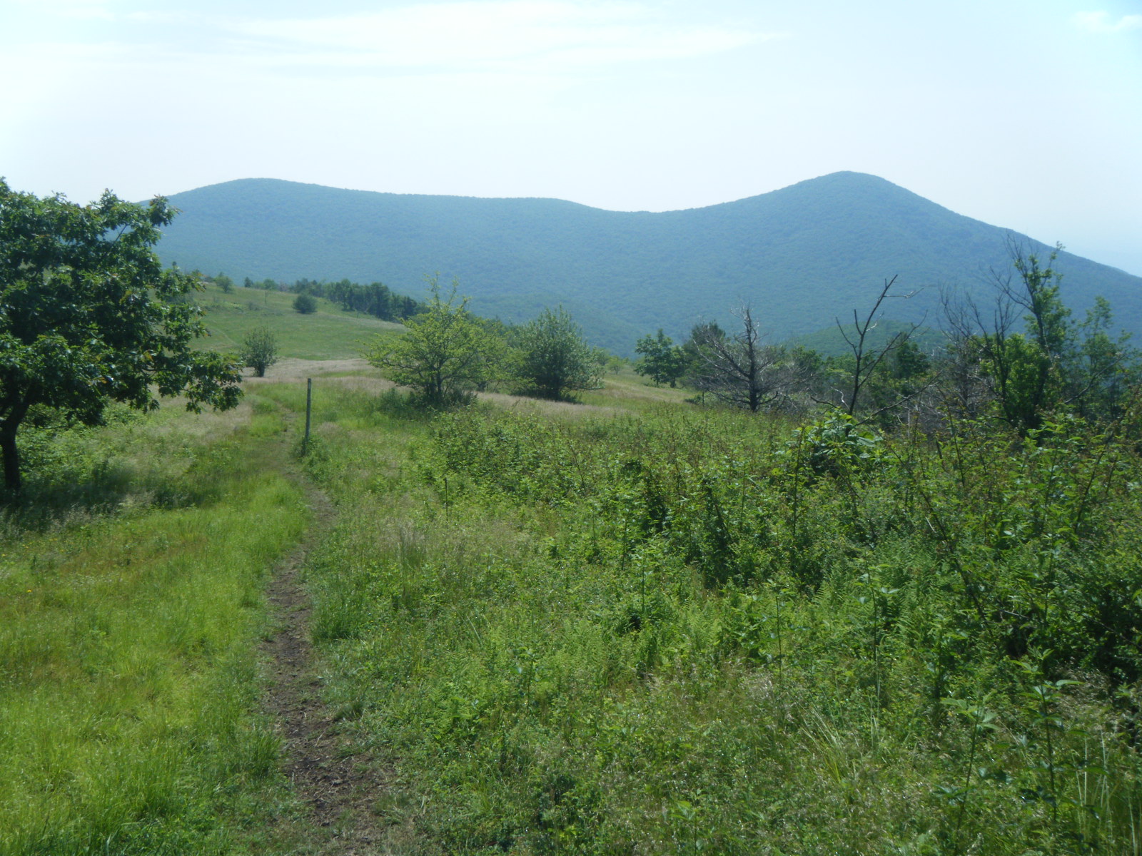
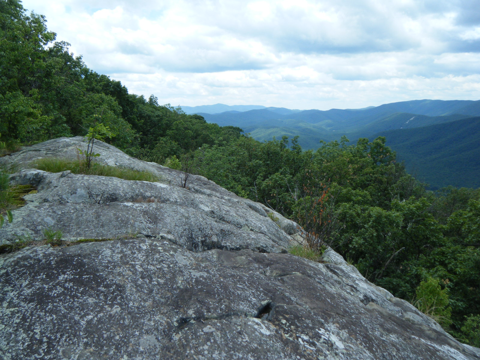
I checked my thermometer when I awoke on Thursday June 9, and the temperature had only dropped to 72F during the night. Until this point, it had dropped to at least 65F every night. I filled up on water and prepared to tackle another hot, dry stretch with a few intense climbs. I started the day with a climb up Little Rocky Row, then Big Rocky Row. Again, it was stupidly hot. My shirt was completely soaked in sweat – couldn’t have been any wetter if I’d dunked it in a bucket. Every step was murder, but I staggered mindlessly up the mountain, dreaming of the breeze that must exist at the top. Two thirds up the mountain I found a rock outcropping that created some shade, and had been in shade all morning, so I laid against the cool rock while my temperature dropped and my clothes dried until the shade grew thin, then continued up the mountain. At the top I met four day hikers, one of which was beginning to suffer heat exhaustion. I offered assistance but his three friends assured me he’d be fine, and asked how far to the next water source. I informed them it was 3-4 miles to a 0.5 side trail to a spring, and that it was mostly level ground to that point. They thanked me and I continued on my way. I passed Croc and Saunter, then rested at that side trail to water. I noticed someone had written “No H2O” on the sign for the side trail. I hoped the note was wrong, because if there really was no water at that point, it was another 3 miles to the shelter, including another 500ft climb, and that kid was in trouble. I pushed on to Punchbowl Shelter, and the 500ft climb proved to be just about as hellish as I’d expected. The water source for the shelter was a spring, so the water was blessedly cool. I drank two liters on the spot. DC caught up to me at Punchbowl Shelter and informed me that the day hikers had made it a fair bit further, but the guy with heat exhaustion had thrown up a number of times, was pale, and didn’t look like he wanted to move much. He probably died, if his friends didn’t do anything to help him. I moved on to a campsite right next to a creek, right at the point where the creek became the Lynchburg Reservoir. I left a note on the AT indicating my presence, and around 9:30pm DC and Daydreamer came through and camped with me. It started raining so DC pitched his tarp next to the fire and we all sat under the tarp enjoying the campfire for awhile. Thunderstorms rolled over the area while we slept.
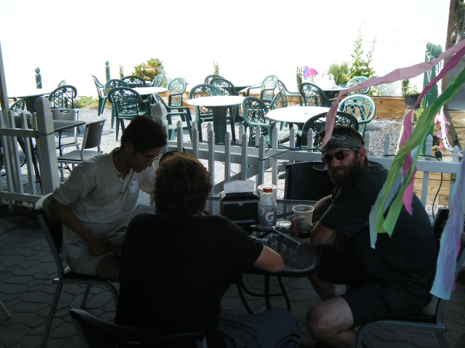
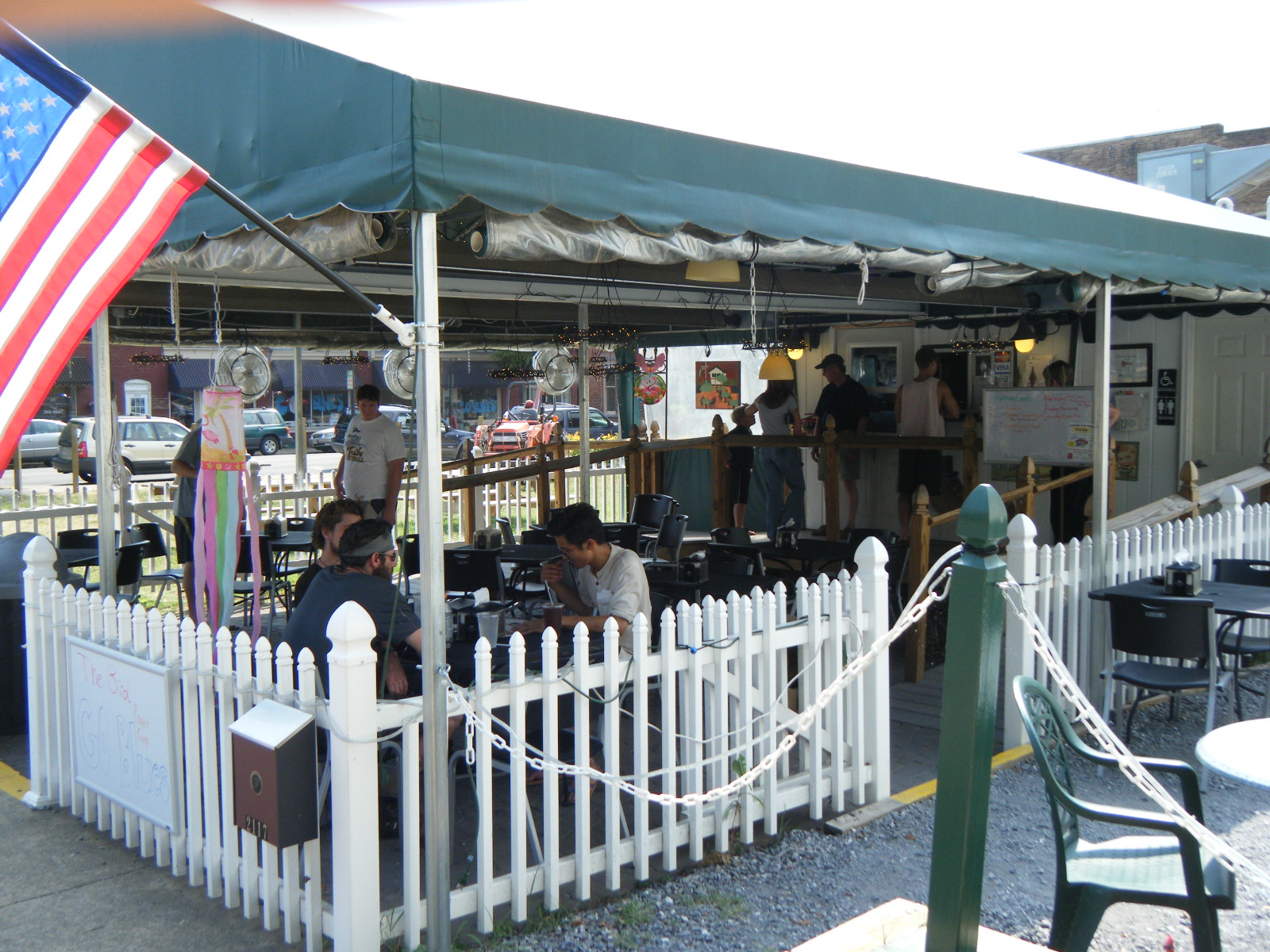
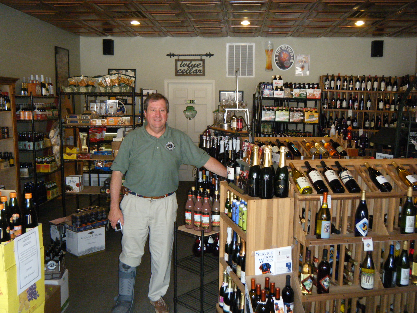
On Friday morning (June 10), I woke up damp. I packed my gear still wet and hiked 4.4 miles to US 60 where I laid my gear out to dry and then hitched into Buena Vista. I split a room at the Budget Inn with Nate Dog and Daydreamer, and we went to Frank’s for the Memories for lunch. It’s a sandwich shop with outdoor seating, but there was shade and mist-fans so the outdoor aspect wasn’t so bad, despite the heat (the thunderstorms didn’t cool the air much at all). I walked over to Uncorked wine shop to pick up some beers for the hotel room, then DC and I went out for Mexican food. All four of us crashed in my room for awhile and watched The Rock and Assault On Precinct 13 before going to bed. Interesting fact about Buena Vista – there are a lot of trail angels. Turns out Uncorked is a sort of call center for hikers who need a ride somewhere (for example, the 10 miles from the trailhead into town). The only catch is that you need to call in advance, so the volunteers can arrange availability. Also, the owner of Frank’s is a trail angel and will call her friends to get you a ride wherever you need to go, or even let you camp in her yard if you need a place to sleep. One person even volunteered to drive us from Buena Vista to Waynesboro, which has to be like an hour drive. Definitely a very hiker-friendly town.
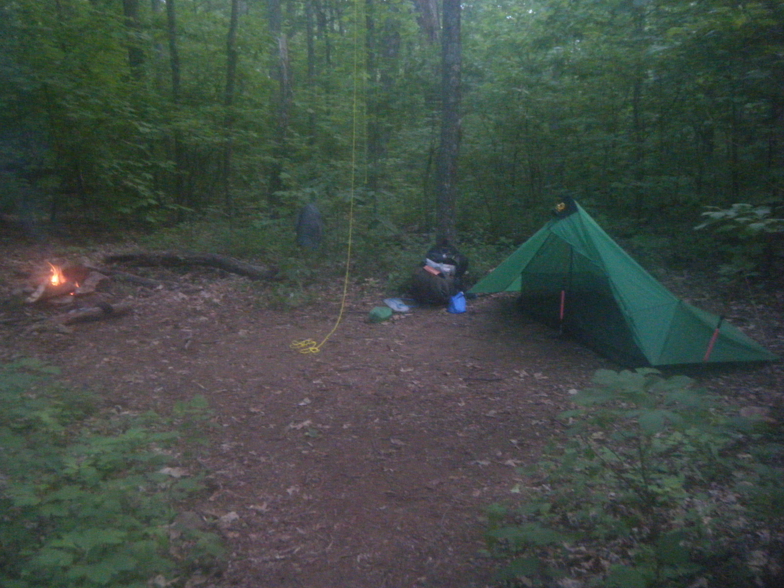
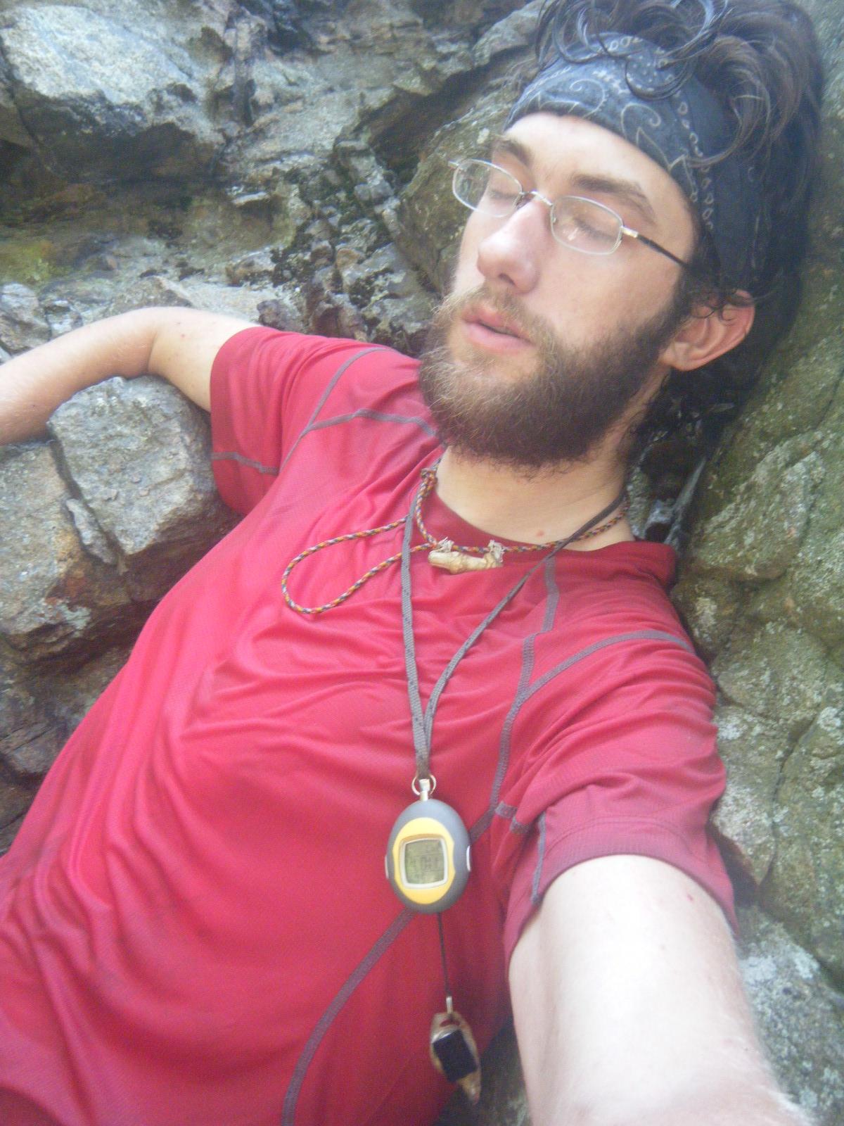
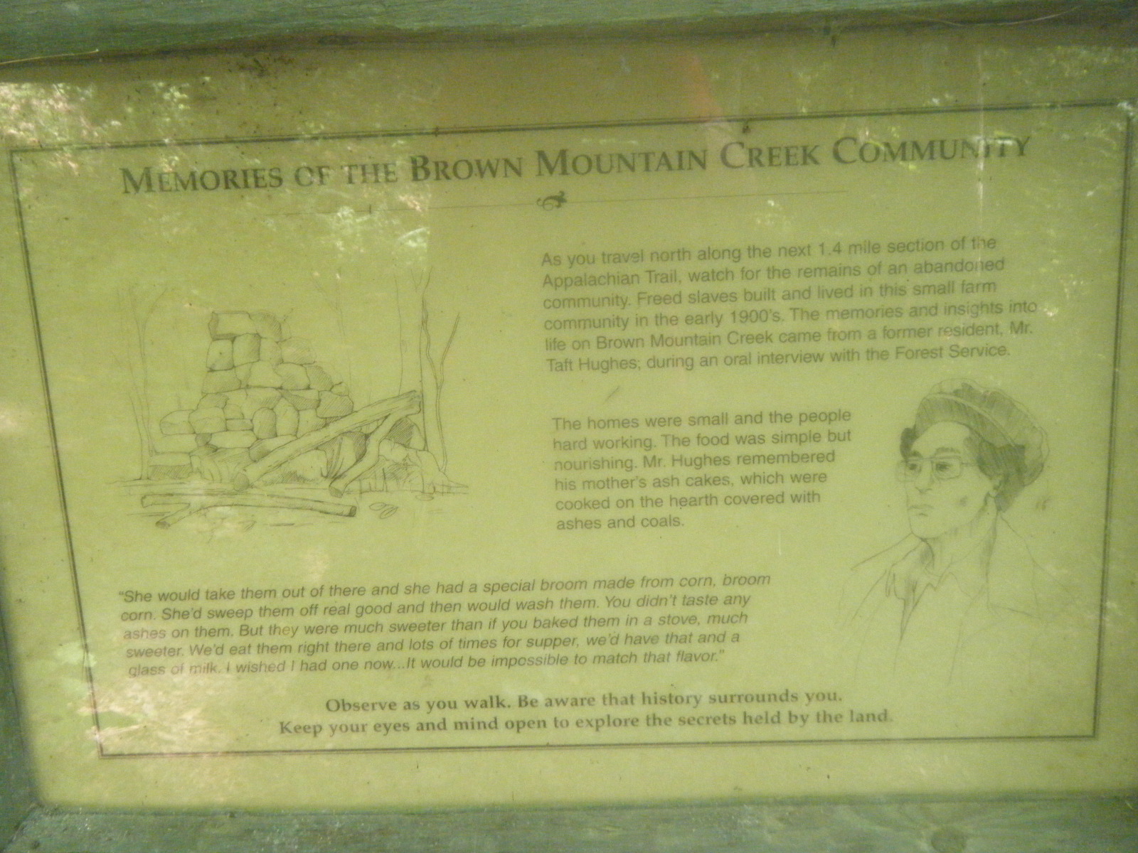
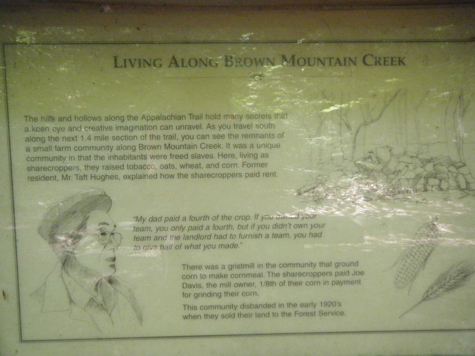
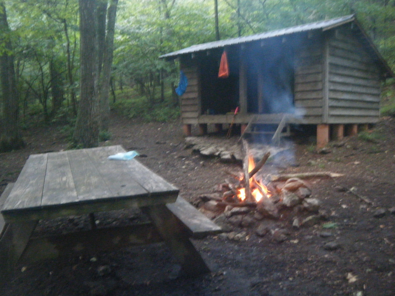
On Saturday June 11, I dragged my feet getting out of town. It always takes me awhile to get out of town. I bought groceries, went back to Uncorked for some dry sausage and cheese, ate at Subway, then dumped a bunch of ice in my platypus and got another footlong to go. I hitched out of town back to the trailhead and a Jamaican fellow picked me up in his 2-door sedan with loose suspension. Once we were headed down the road he opened a grocery bag on the center console, revealing a six-pack of 20-ounce beers, and offered me a drink. We both had a beer while he tailgated the other drivers down curvy mountain roads, exclaiming to me how they should speed up or get out of his way. He even passed a couple cars, hitting 80mph in the process. It was terrifying and exhilarating. Once he dropped me off at the trailhead and I was out of the car, I heard thunder. I knew it was 4 miles to the first shelter, mostly uphill, and I’ve never been able to outrun a thunderstorm for more than 2-3 miles, so I resigned myself to getting wet and began climbing. About halfway up the mountain, I got wet. This was the first time I’d really been rained on hard, so it was the first time the waterproof aspect of my gear was put to the test – all of it failed miserably. It turns out Mountain Crossings (Neel’s Gap) sold me the wrong size pack cover, so it didn’t fit and kept slipping off the top of my pack. A bit of water seeped through the top of my pack, and a lot of water ran down the outside of the pack and gathered in the bowl-like bottom of the pack cover. This pool of water proceeded to seep through the bottom of my pack, through the dry sack in the pack, through the stuff sack in the dry sack, and into my sleeping bag in the stuff sack. When I stopped at Cow Camp Gap Shelter, I was thrilled to find that everything I owned was wet. Also, the watch/thermometer thing I wear around my neck is apparently not waterproof. Nor was the backup flashlight on my necklace. I built a large campfire and burned the flashlight and watch and necklace. I strung a clothesline in the shelter and hung all my wet gear. I laid down in my slightly damp sleeping bag and went to sleep while listening to a strange animal nearby – it sounded like a cross between rubber squealing on pavement, and a sharp intake of breath. I hoped it wasn’t something that wanted to eat me. Also, another thunderstorm came through as I slept.
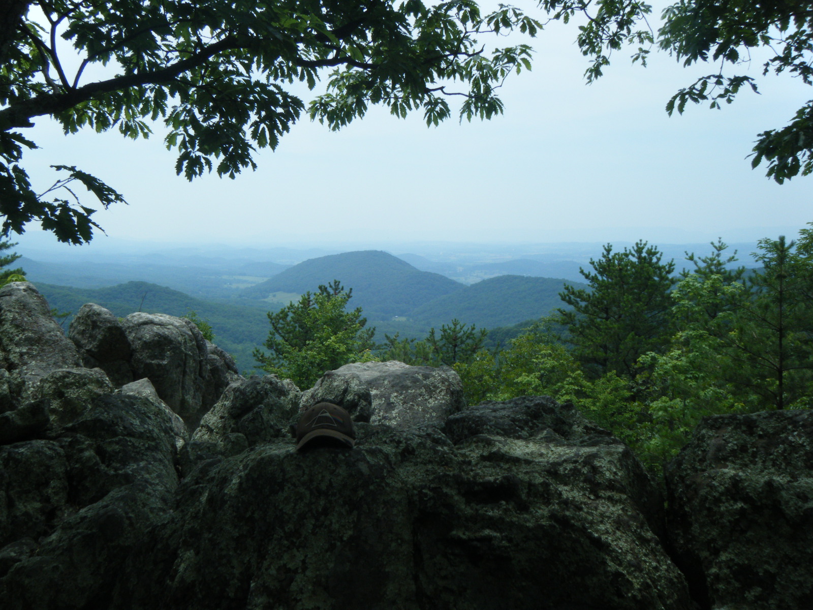
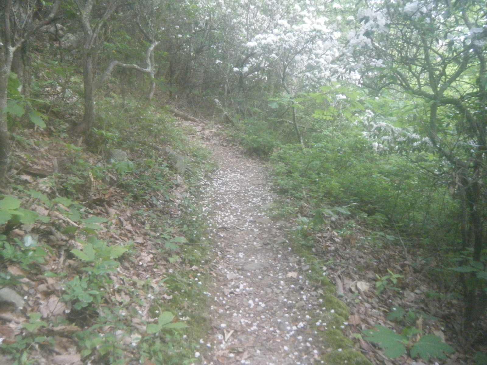
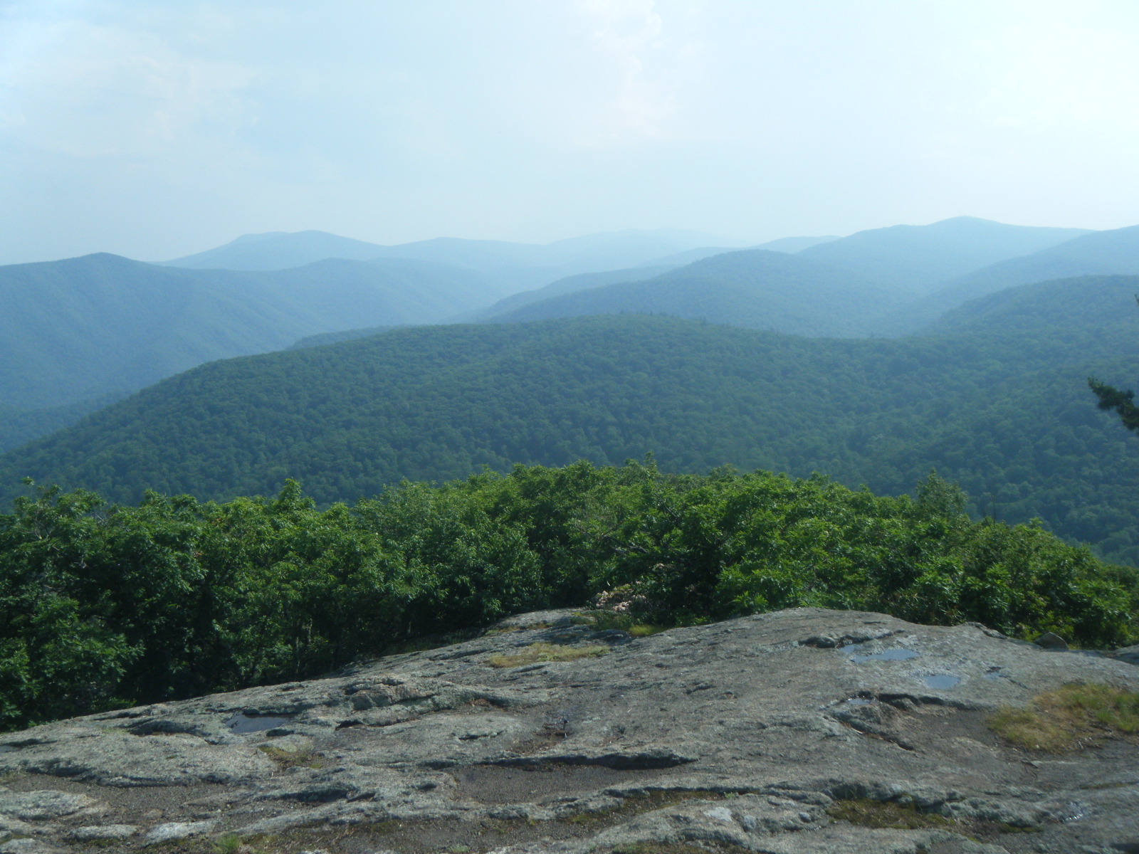
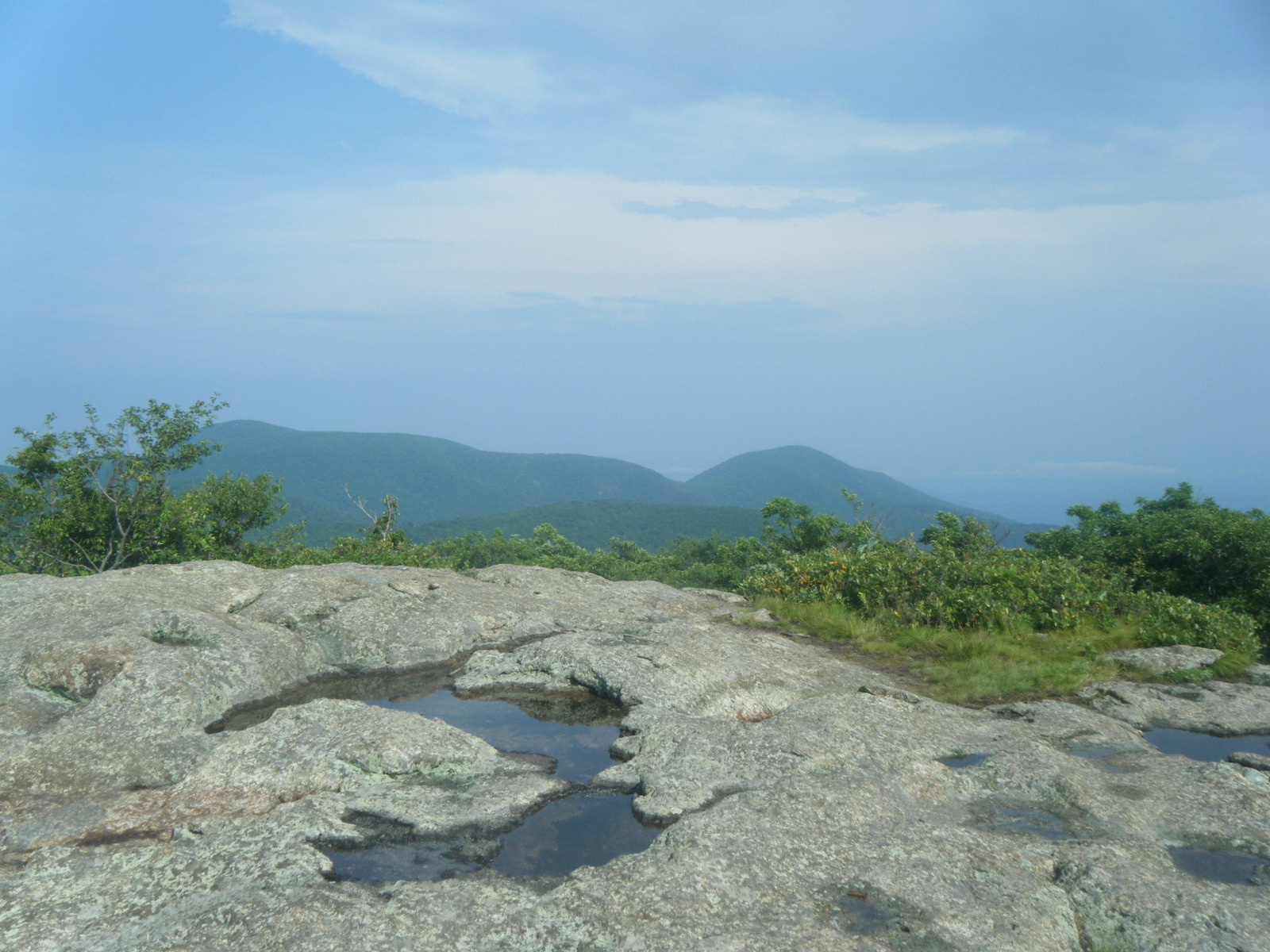
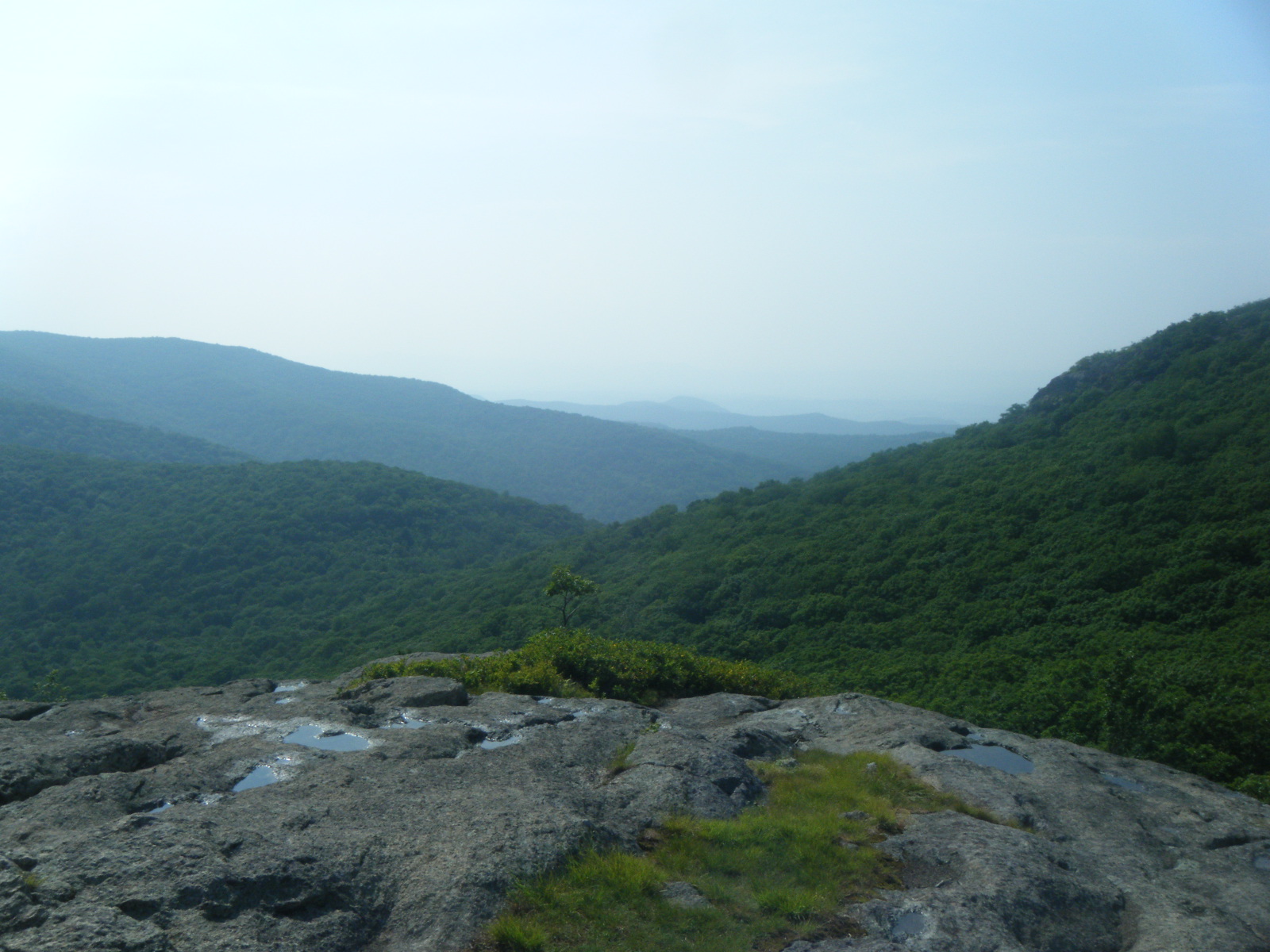
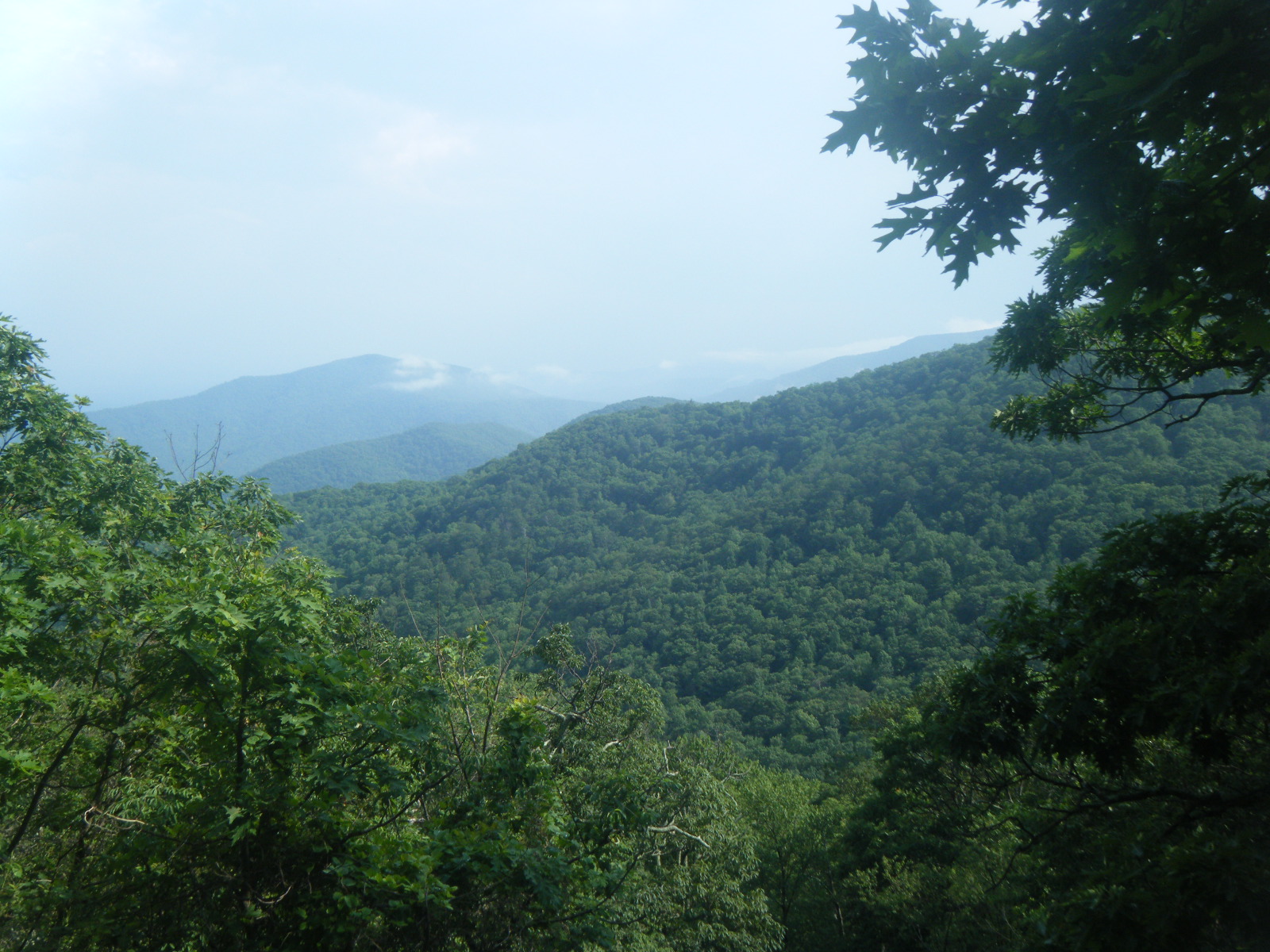
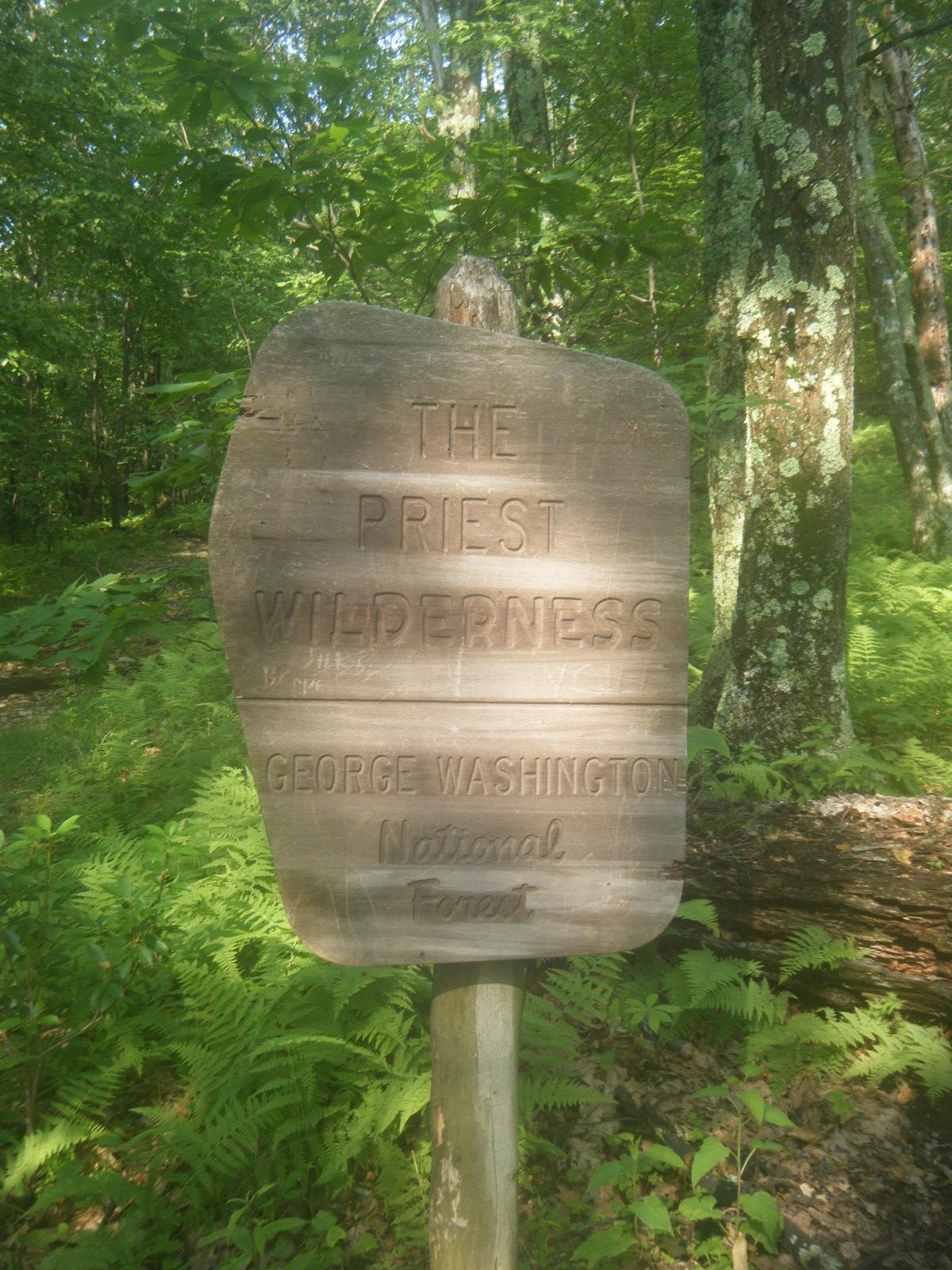
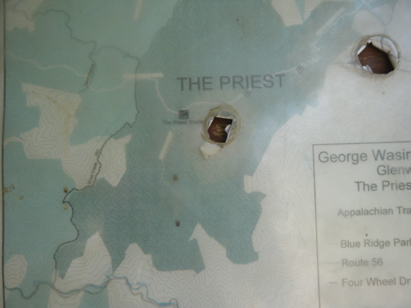
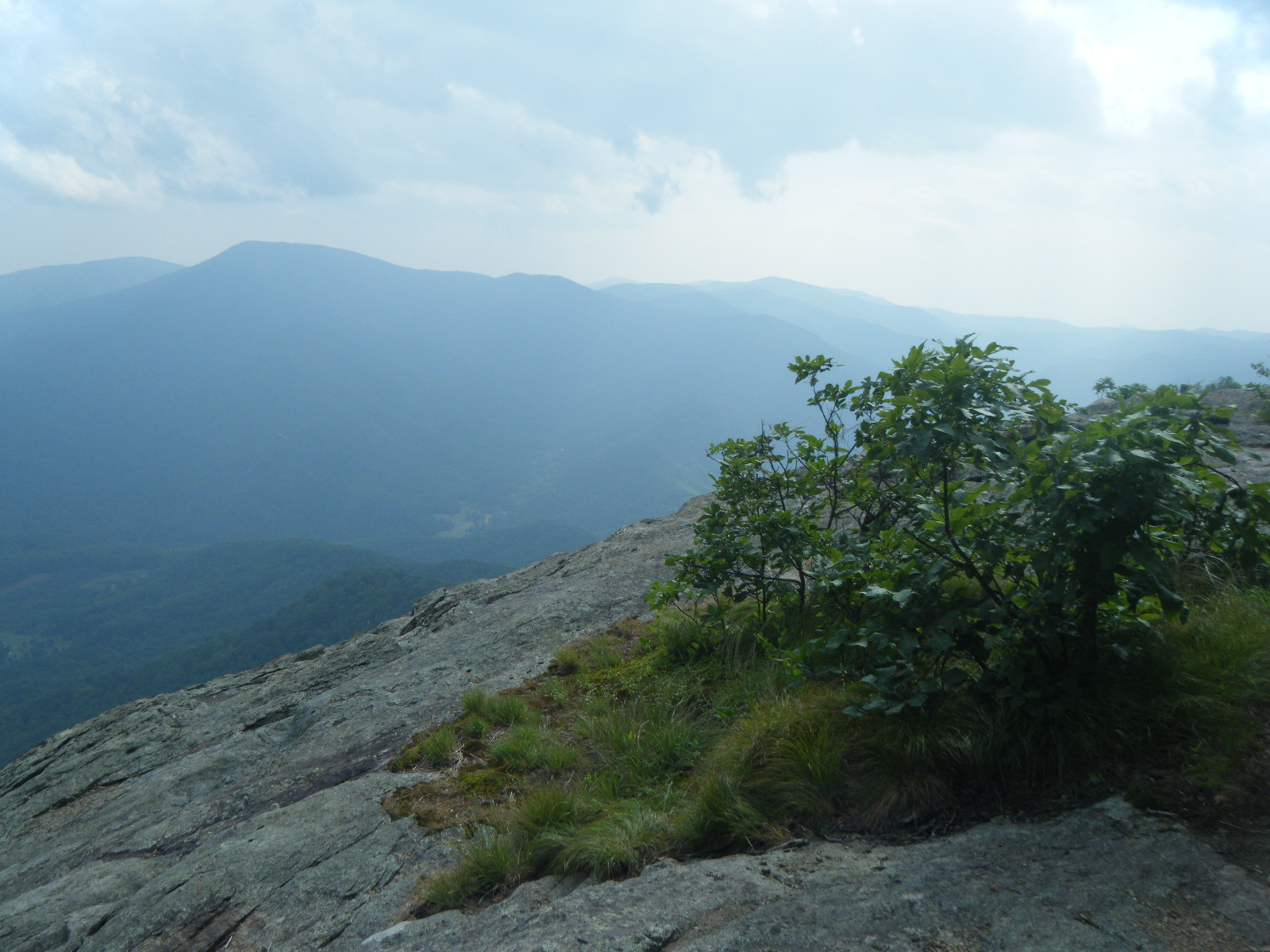
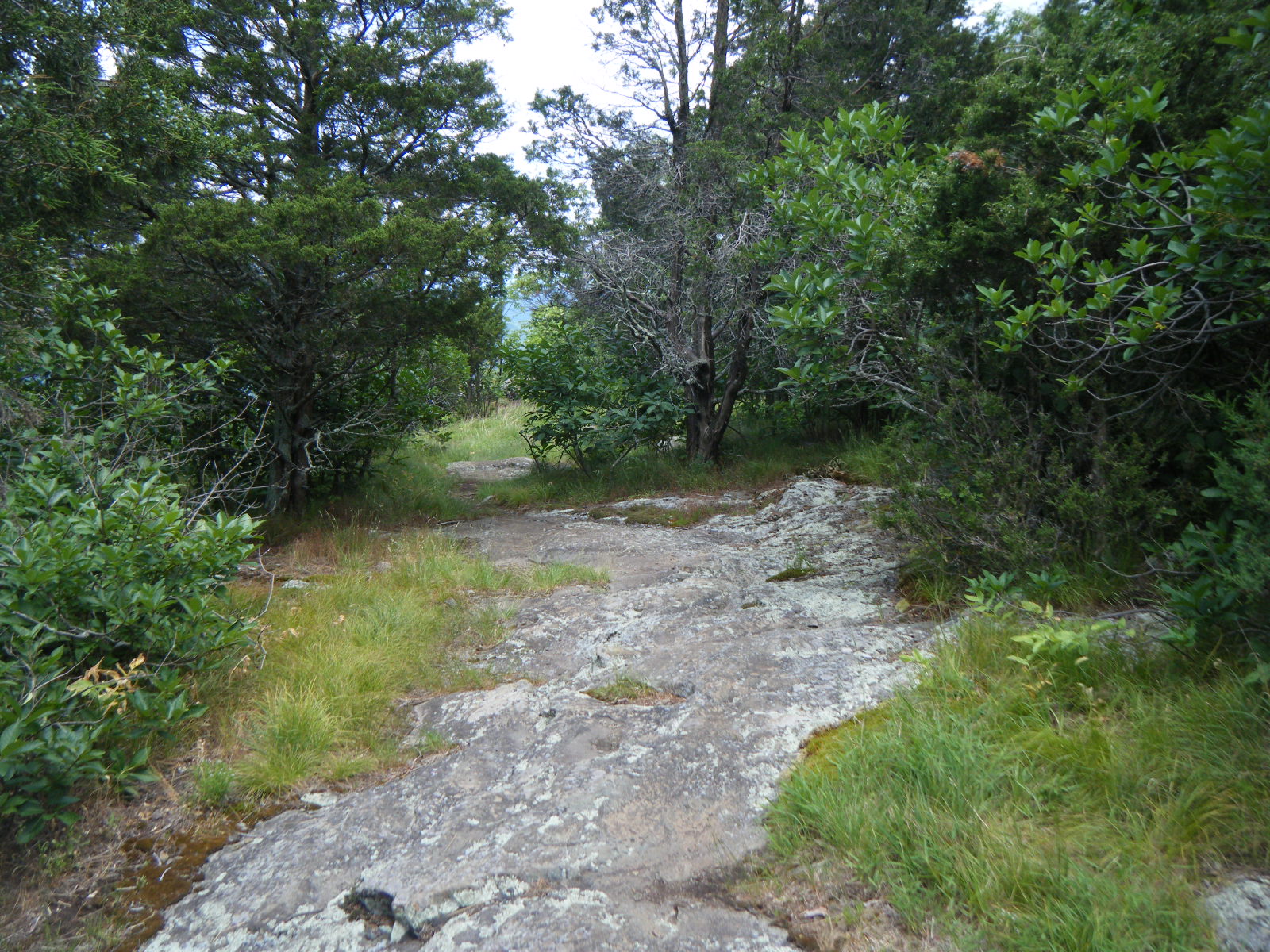
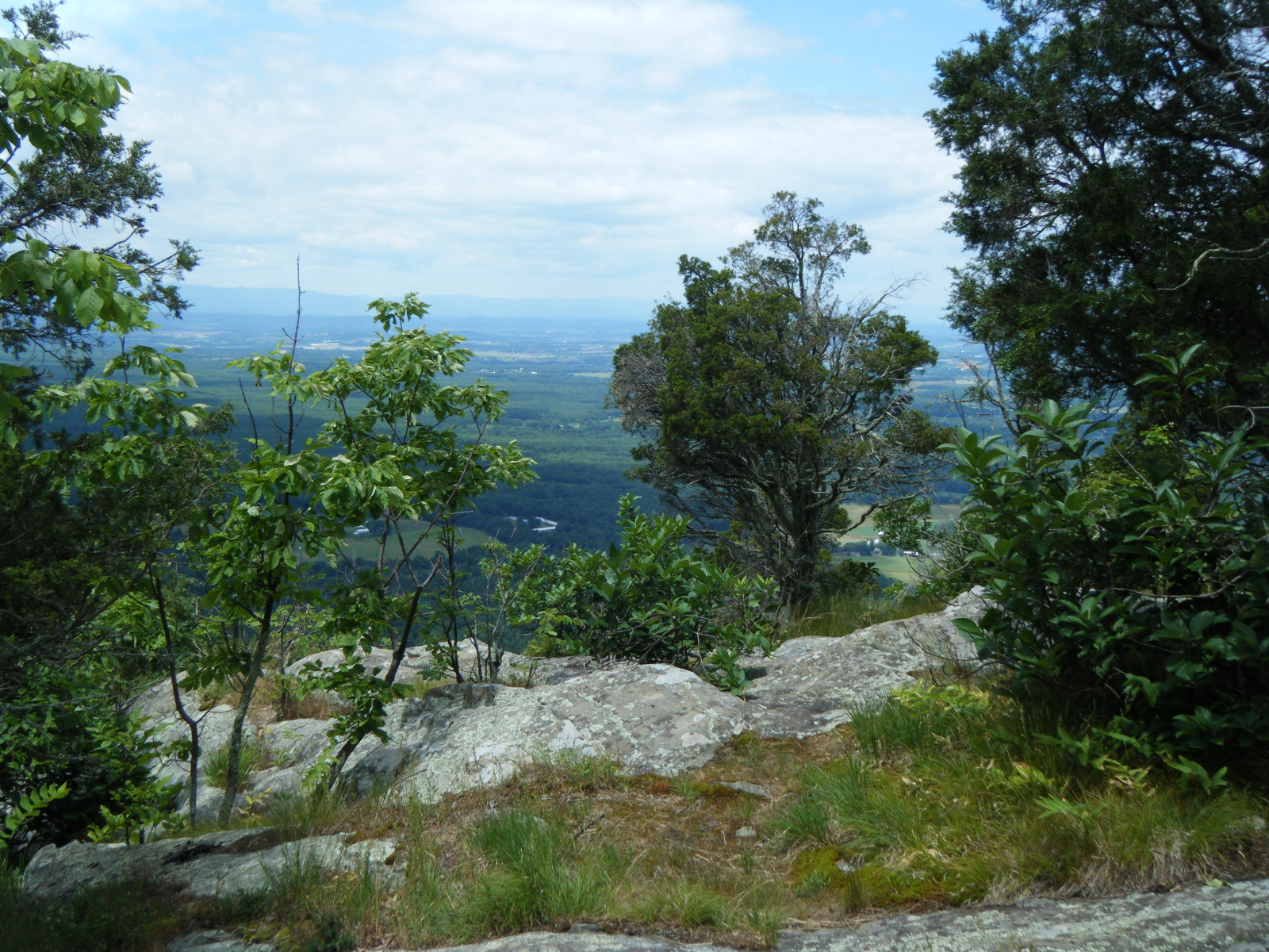
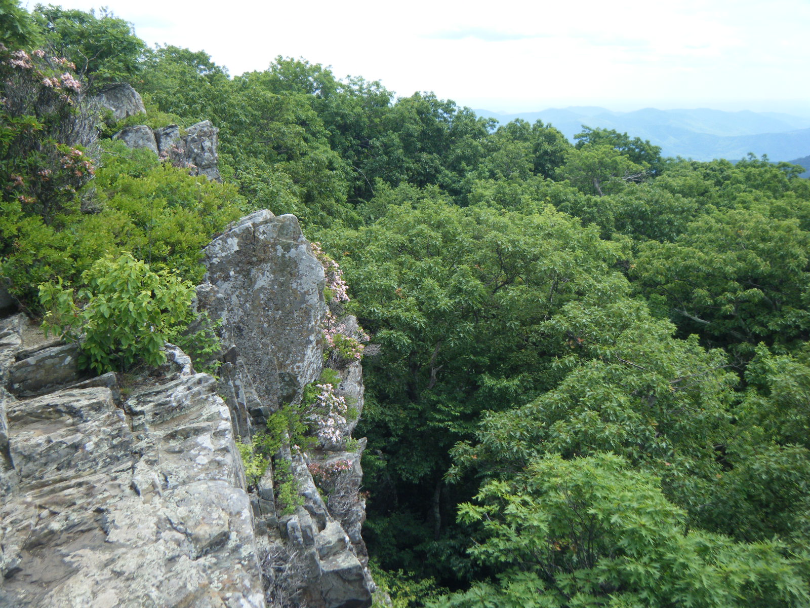
On Sunday June 12 I slept late and hiked about 10 miles by 2:00pm when I stopped at Seeley-Woodworth Shelter for lunch. There were lots of gnats here, so I spent awhile killing them – I got at least 30. I waited inside the shelter for a thunderstorm to pass, then I hiked on. In my effort to avoid thunderstorms, I forgot to get water at Seeley-Woodworth Shelter, so when I got to Spy Rock 3 miles later I was a bit thirsty, so I drank from puddles in indentations in the rock. I also took a 360 video shot on top of Spy Rock, because it’s the best 360 view I’ve seen yet. Four miles later I reached The Priest Shelter, which was in a very nice location, with a very cold spring right next to the shelter. I filled my water immediately, but I had to wait 15 minutes to drink it (bleach needs to do its work), so I was thrilled to see that some philanthropic hiker had left 2 kiwi at the shelter. After a quick call to my mother to see what parts of a kiwi are edible, I ate the whole thing. Shortly afterward a very thick fog rolled in, then another thunderstorm rained down upon me – the fourth in two days. This last storm brought some very chilly weather with it. I’m still carrying my 20-degree bag, and on this night I didn’t mind. Also, whoever left the kiwis also left a bag of tea candles – I’m not sure why, but I lit one and used it to read a book I found in the shelter. The book I found was Prey, by Michael Crichton. It’s copyright 2002, and in 2001 I read all of Crichton’s books, and quite enjoyed them. I quite like this book, and it was quite pleasant reading by candlelight while cozy in my sleeping bag on a cold night.
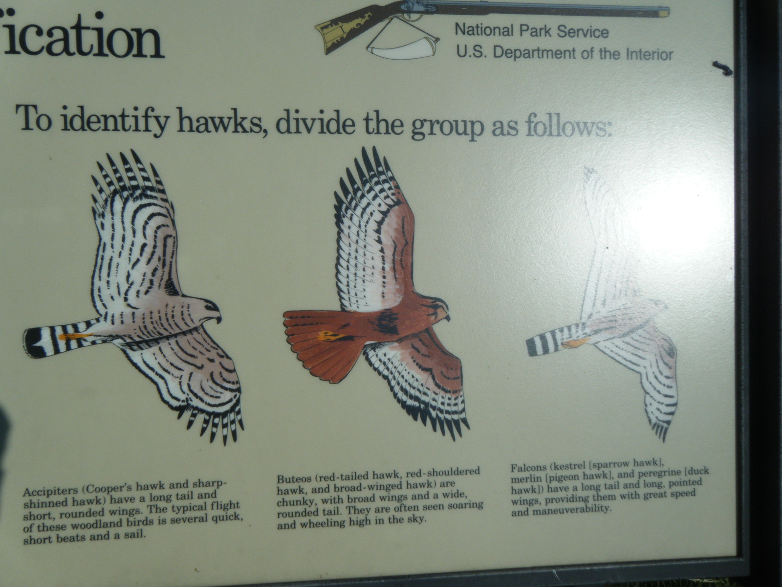
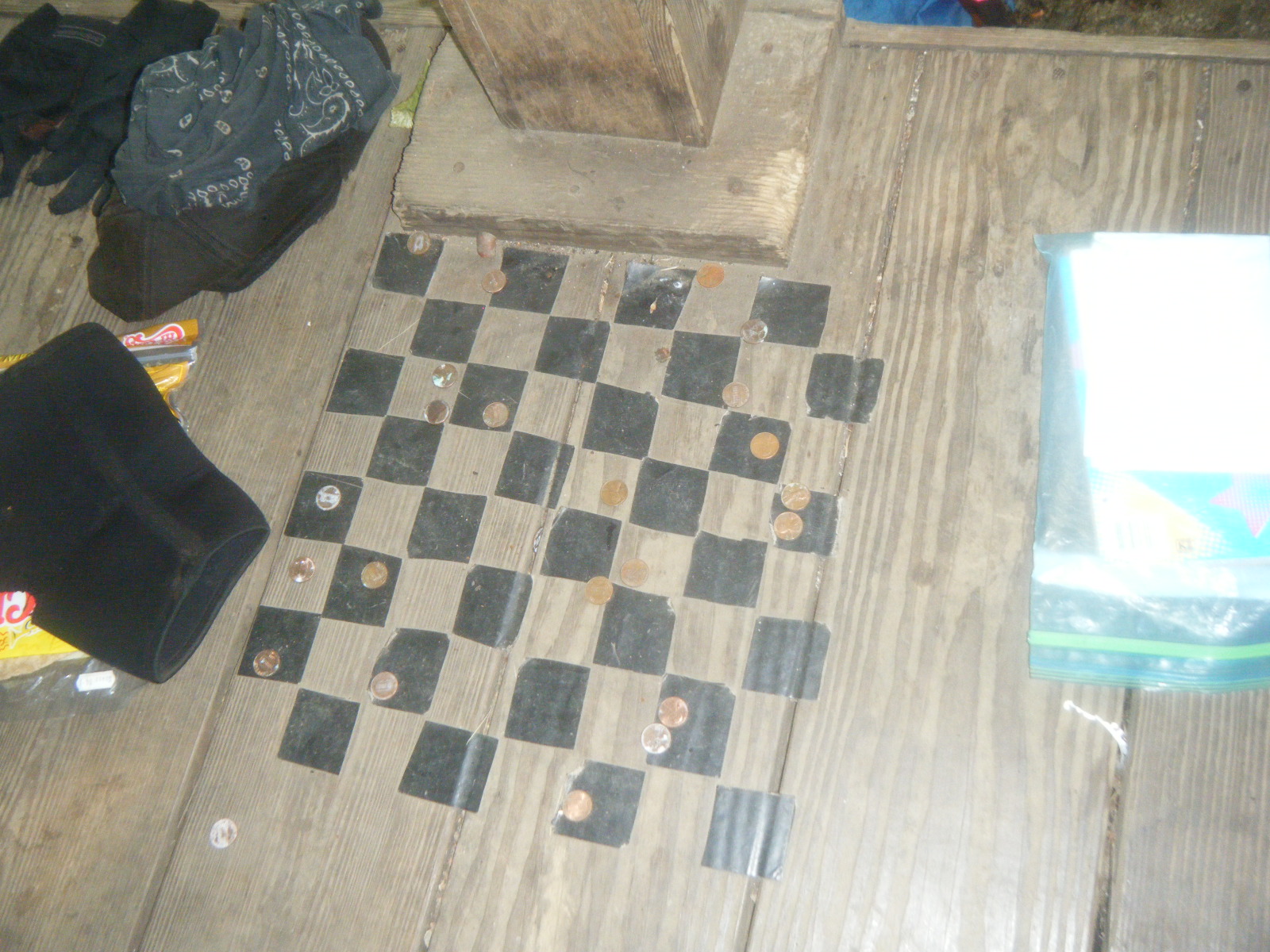
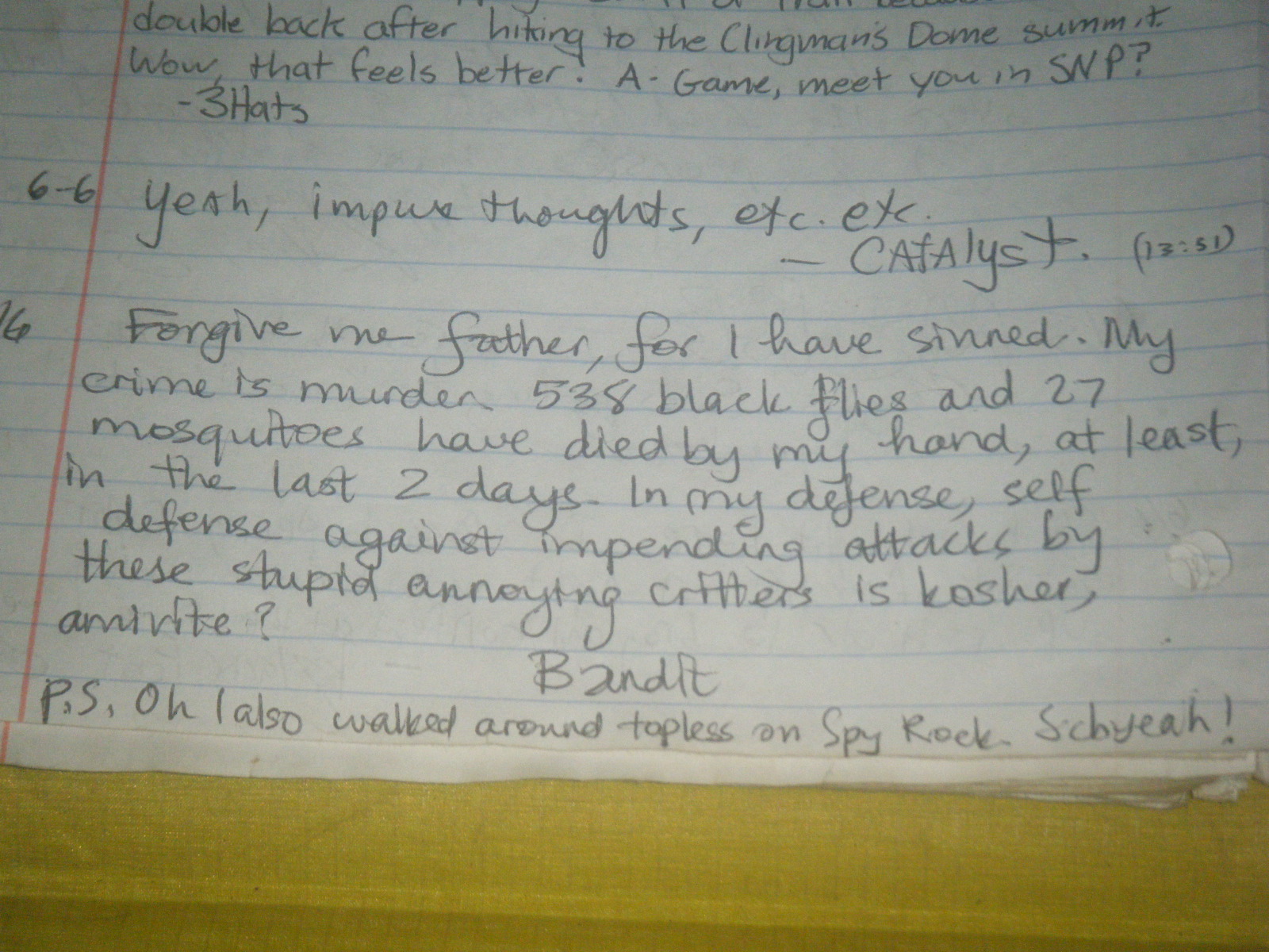
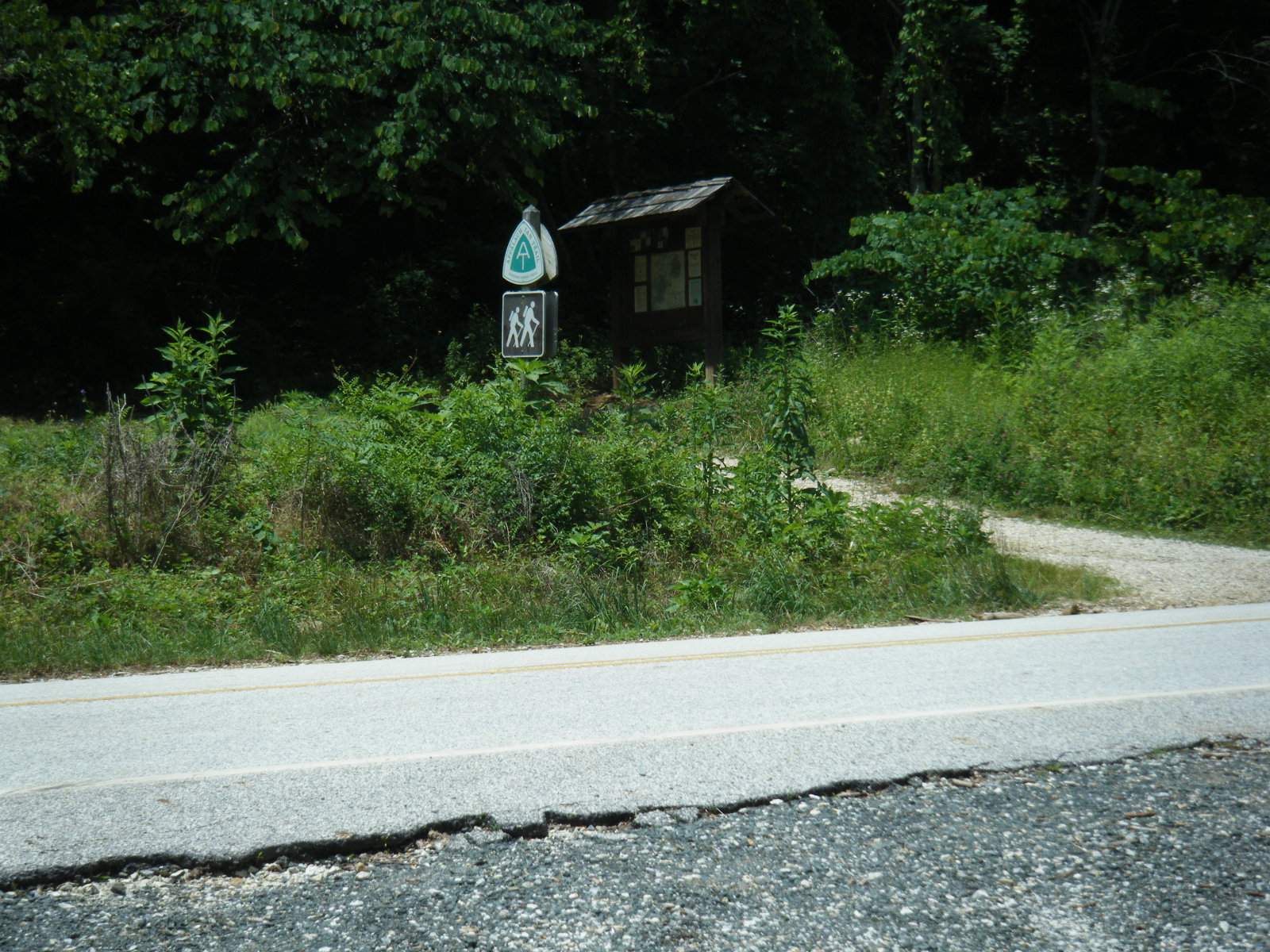
Fun fact about The Priest Shelter: it’s named for the mountain that it’s on – The Priest. Also, it’s tradition for hikers to write confessions in the shelter register. I’m firmly convinced it is the single most entertaining shelter on the trail.
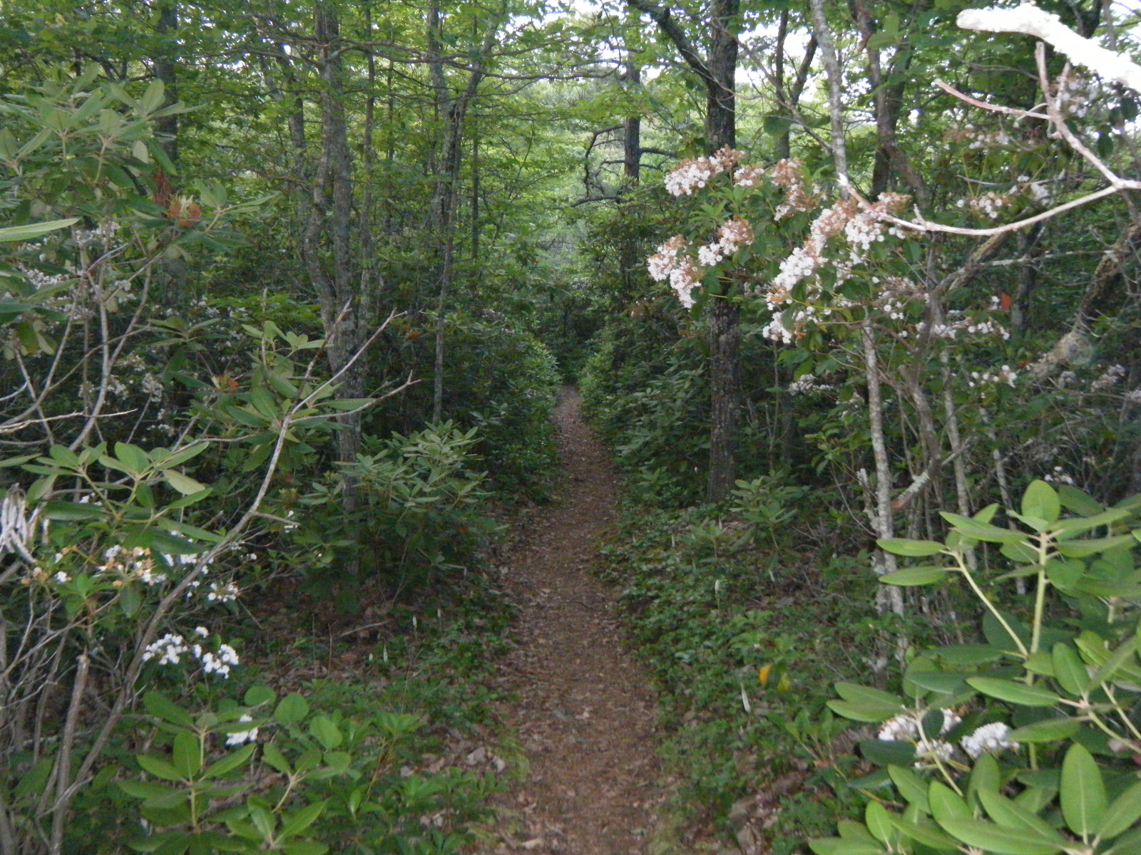
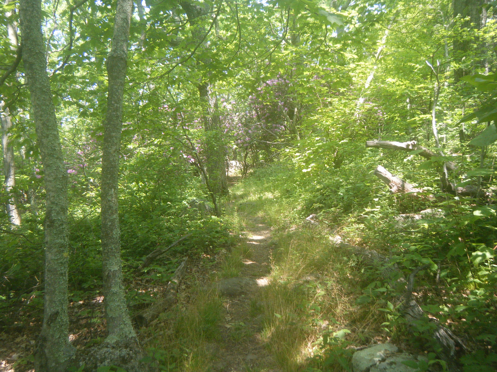
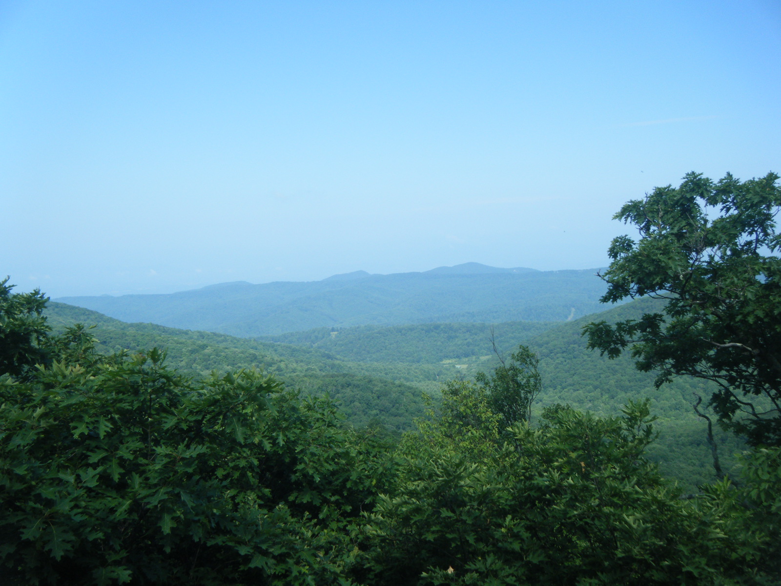
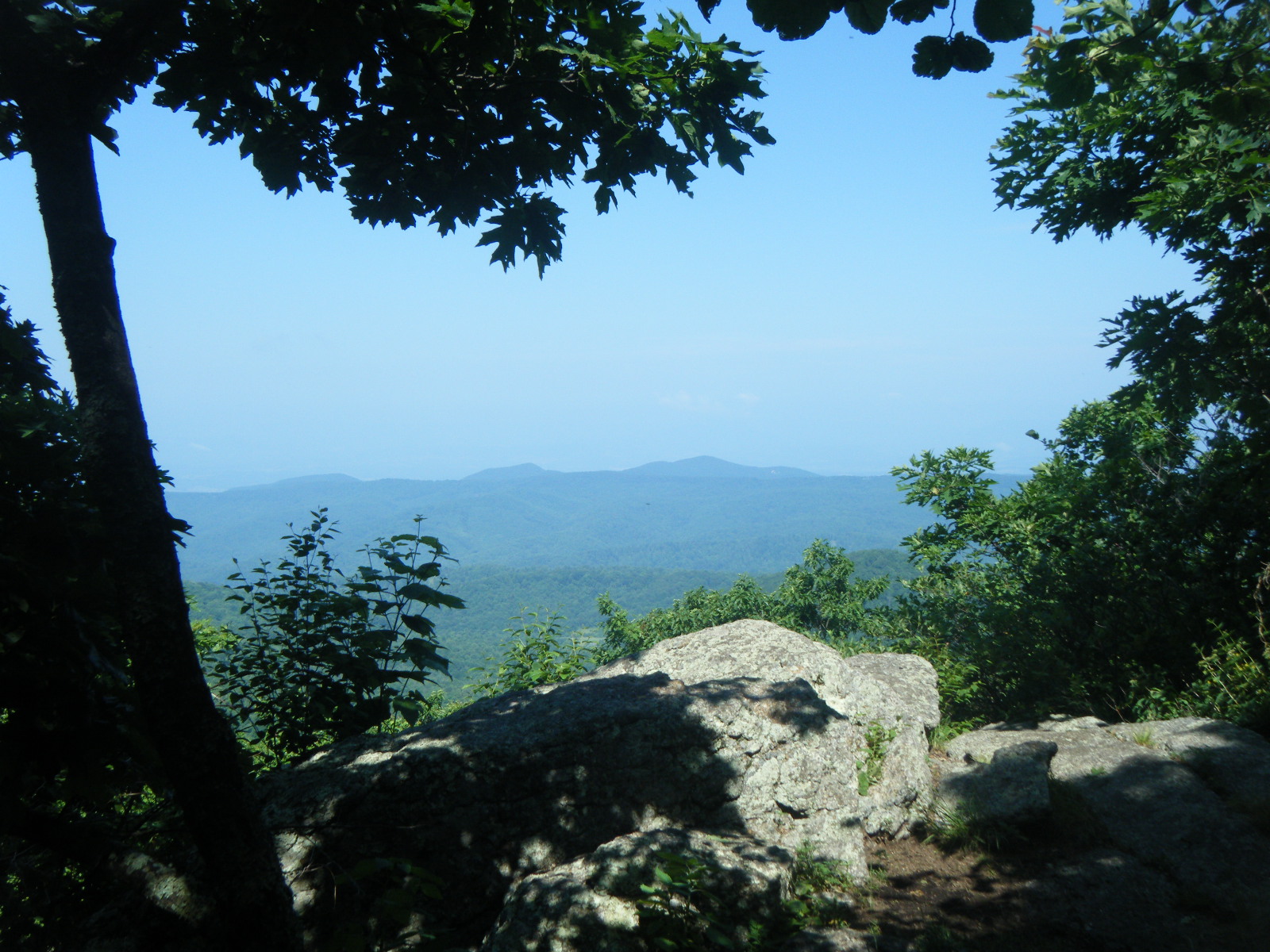
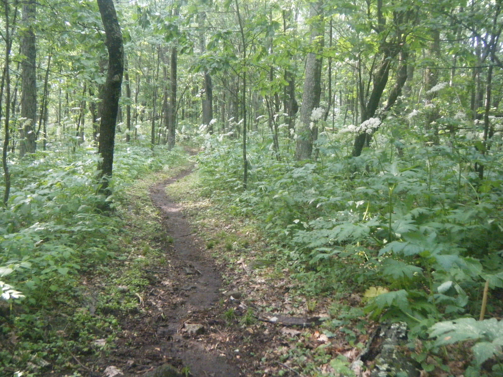
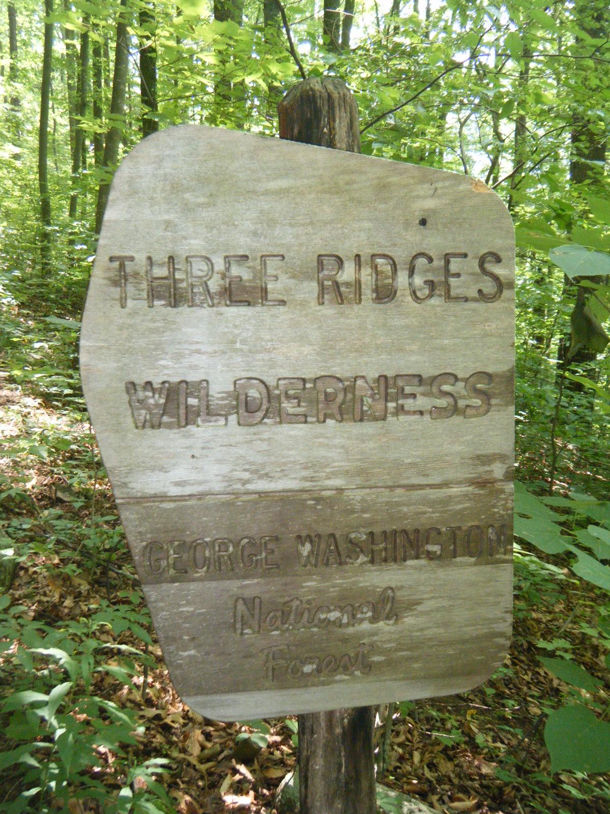
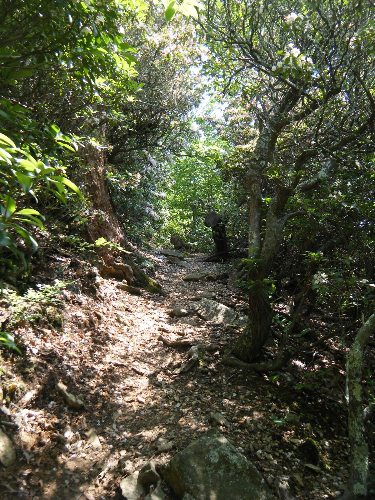
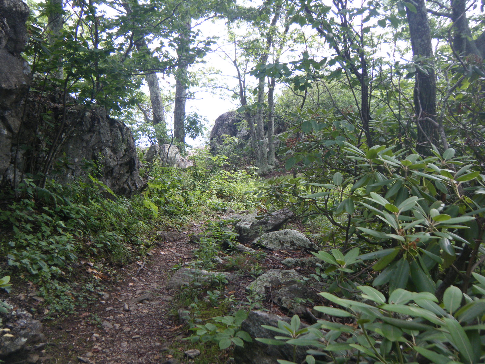
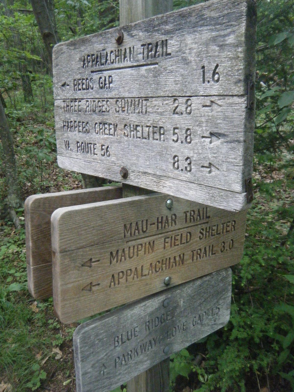
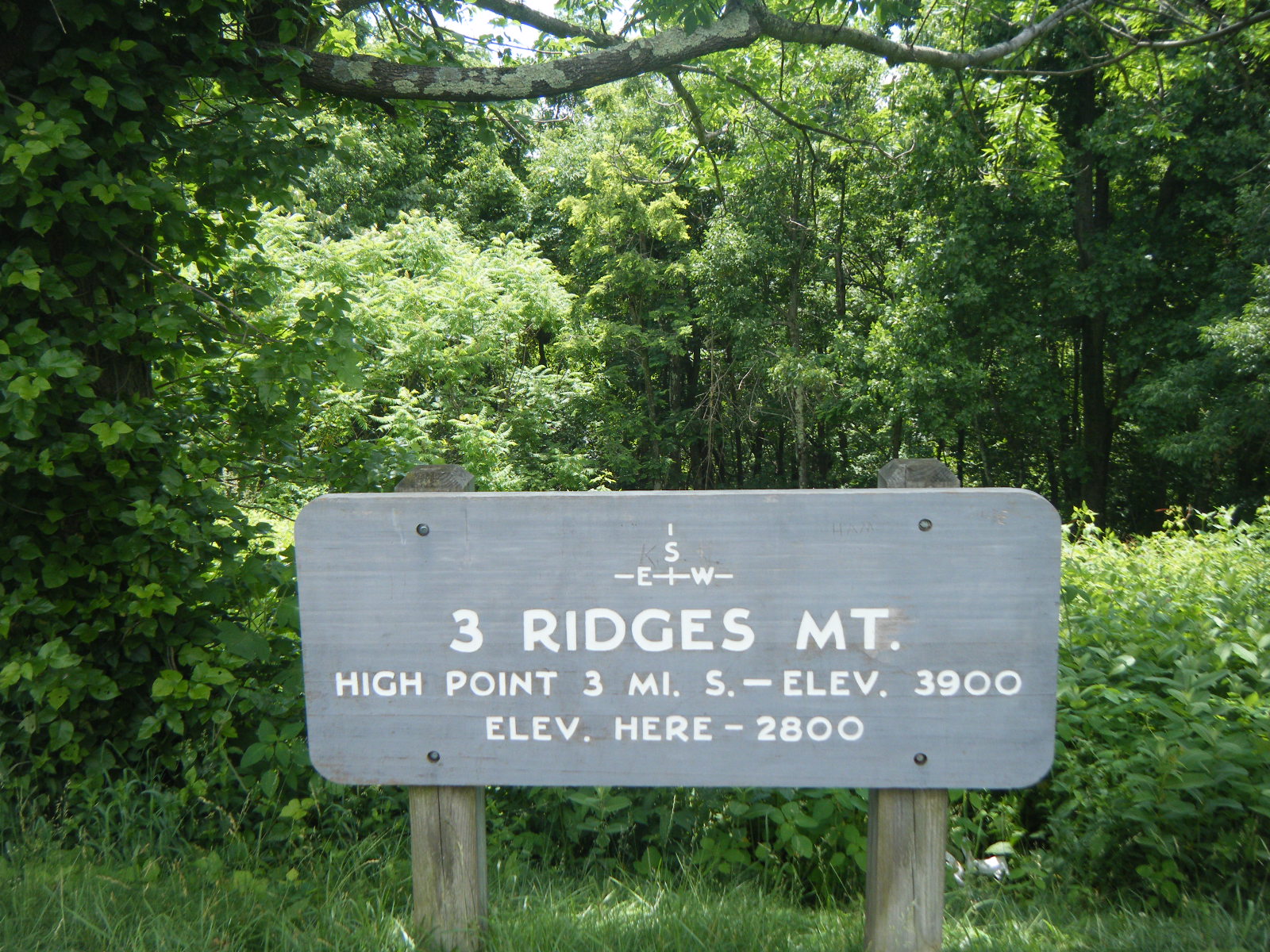
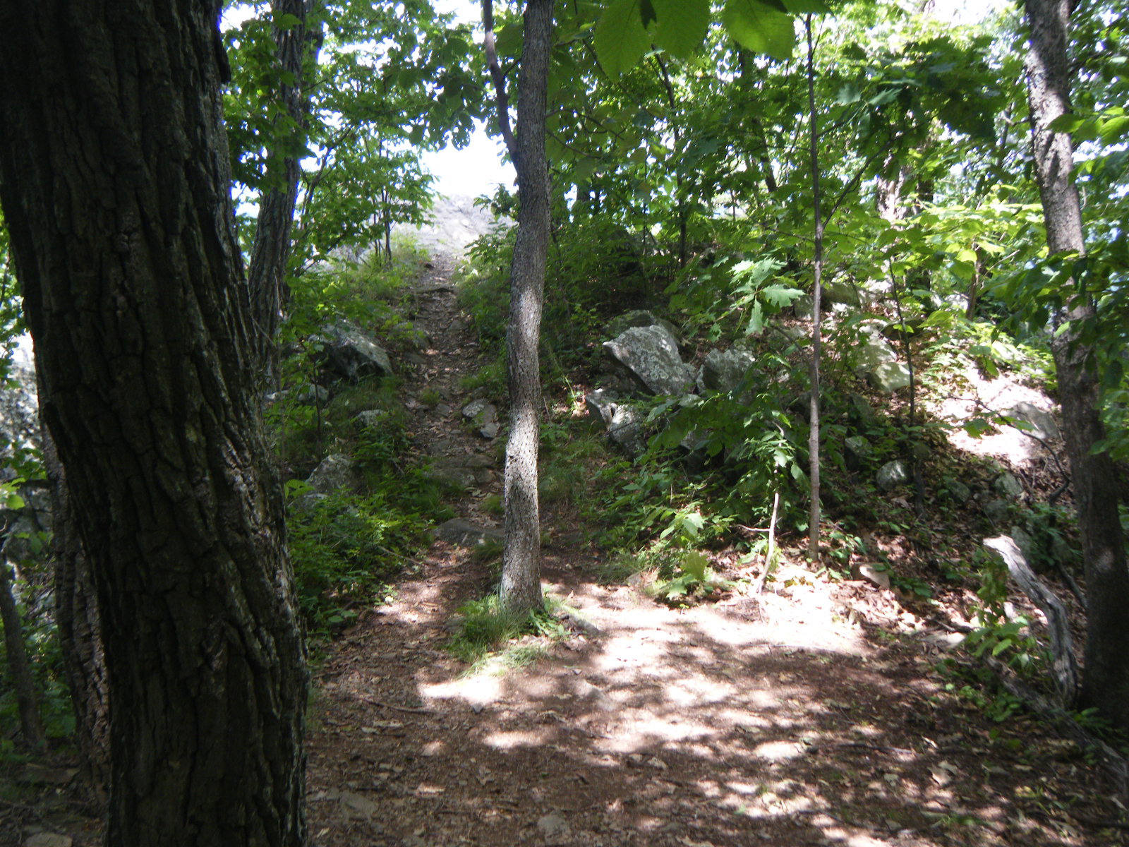
On Monday morning, June 13, I think I slept late but I really have no way of telling since I threw my clock in a bonfire. Once I did get around to hiking though, I had a pretty tough day. I finished ascending The Priest, descended The Priest (4 miles and 3,103 feet), then immediately ascended Three Ridges Mountain (6 miles and 3,016 feet), then descended to Maupin Field Shelter. Also, most of the day was very rocky. This day was tough on both the joints and the muscles, but easy on the eyes – the forest was very pretty, and there were even a few great views. There was a blue-blazed trail between Harpers Creek Shelter and Maupin Field Shelter called the Mau-Har Trail, which was only 3 miles long rather than the AT’s 6, and went around Three Ridges Mountain rather than straight up it. Apparently there was a waterfall and swimming hole on this trail, but I wouldn’t know because I followed the white blazes. Based on the Maupin Field Shelter register, it sounds like almost everyone else followed the blue blazes. I attempted to boil water over a campfire this evening to save some stove fuel, and I succeeded, but I melted my Caldera cone just a little in the process. It still works, but now it’s dangerously sharp too. Hooray for progress! Throughout the entire day I felt like the weather was threatening rain, but it never precipitated. It was another cold night, which I was happy to have.
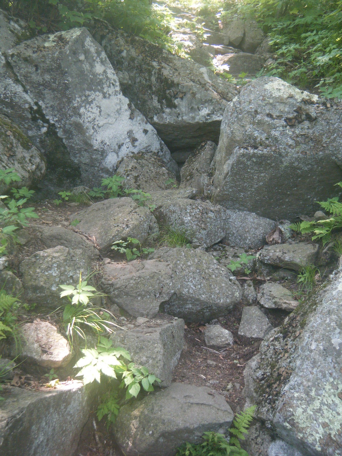
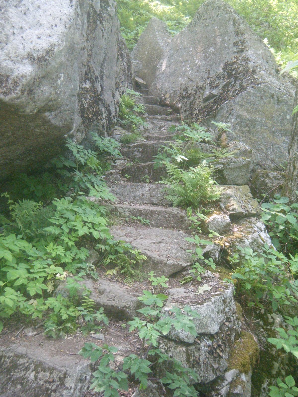
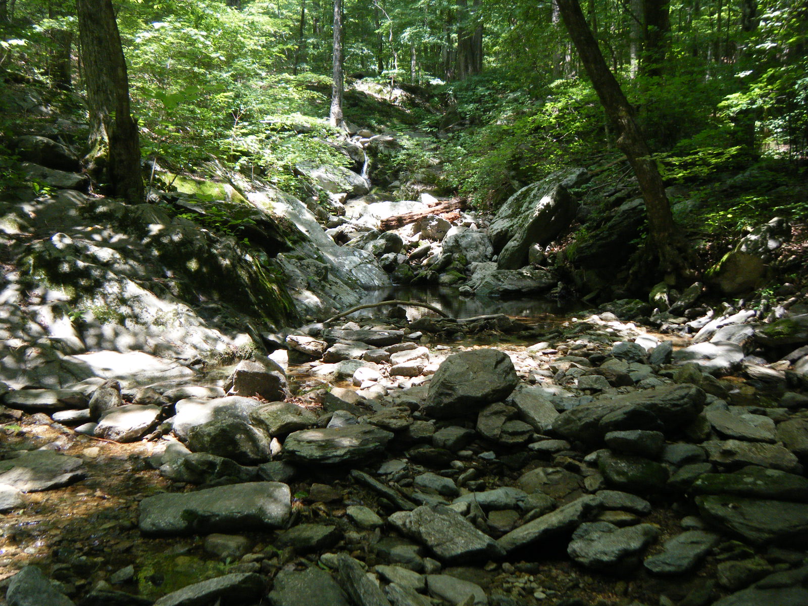
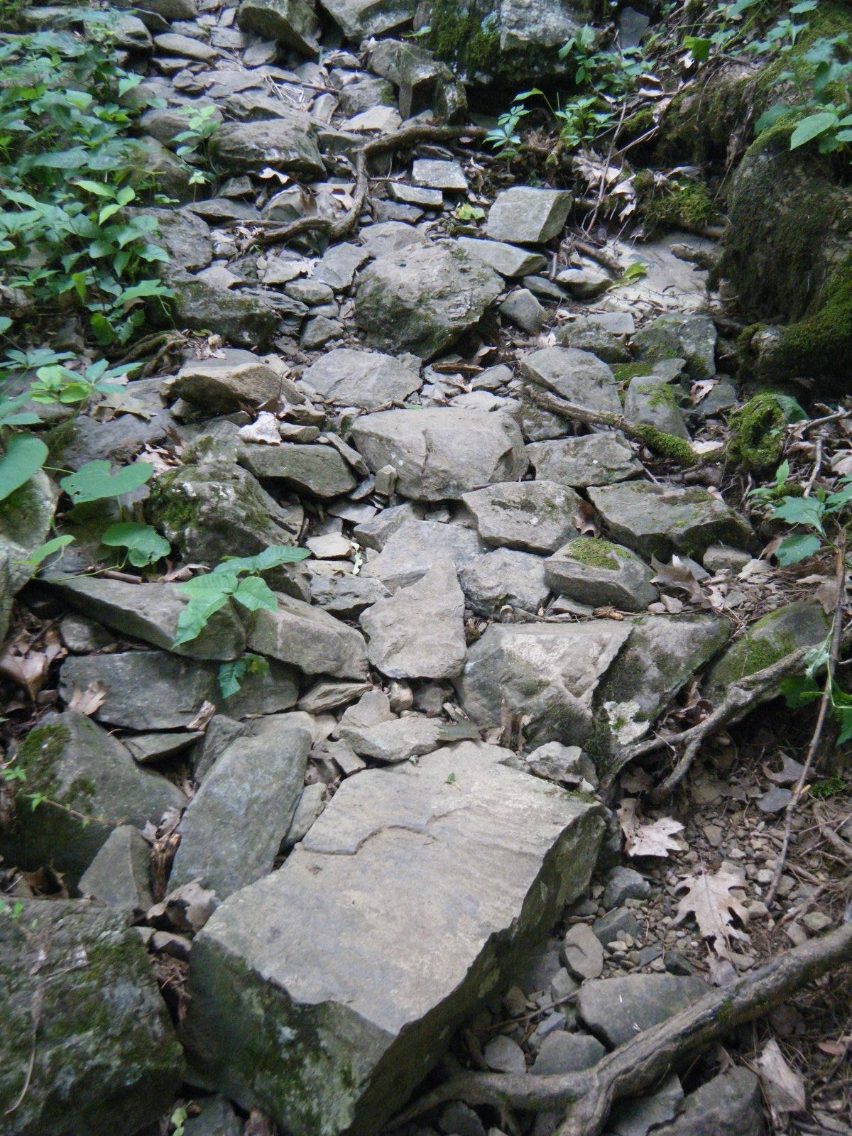
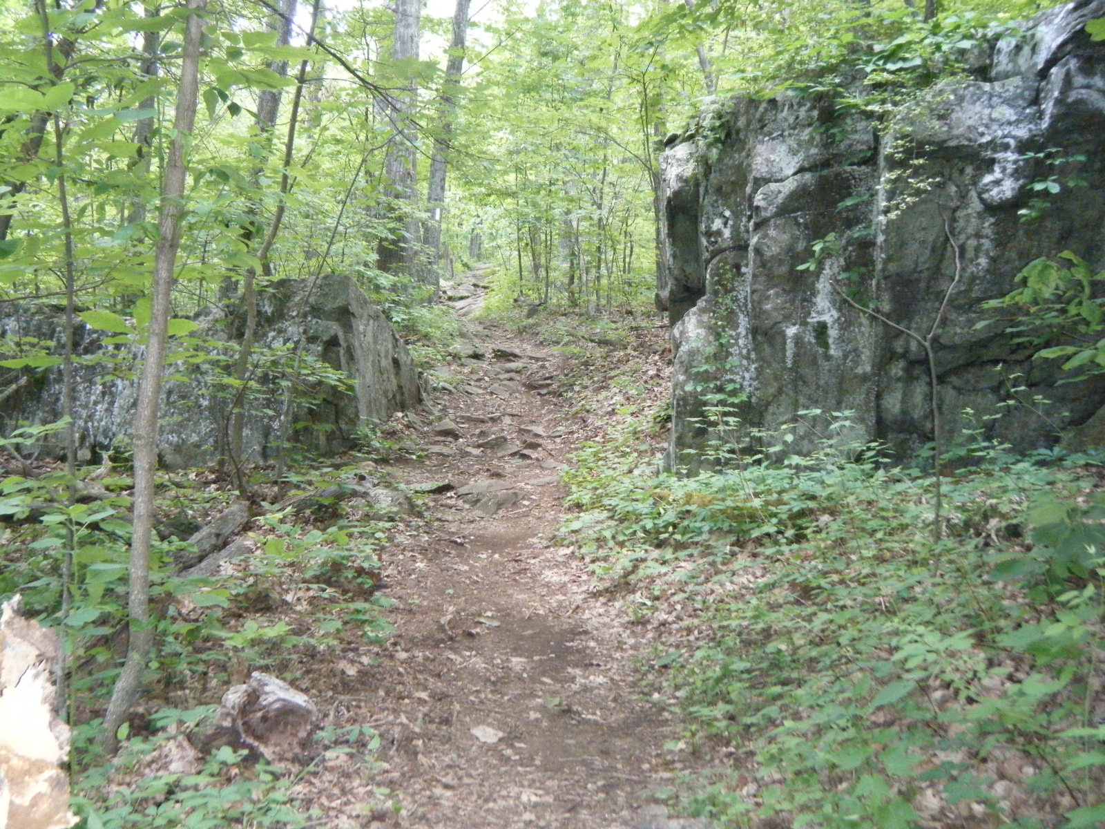
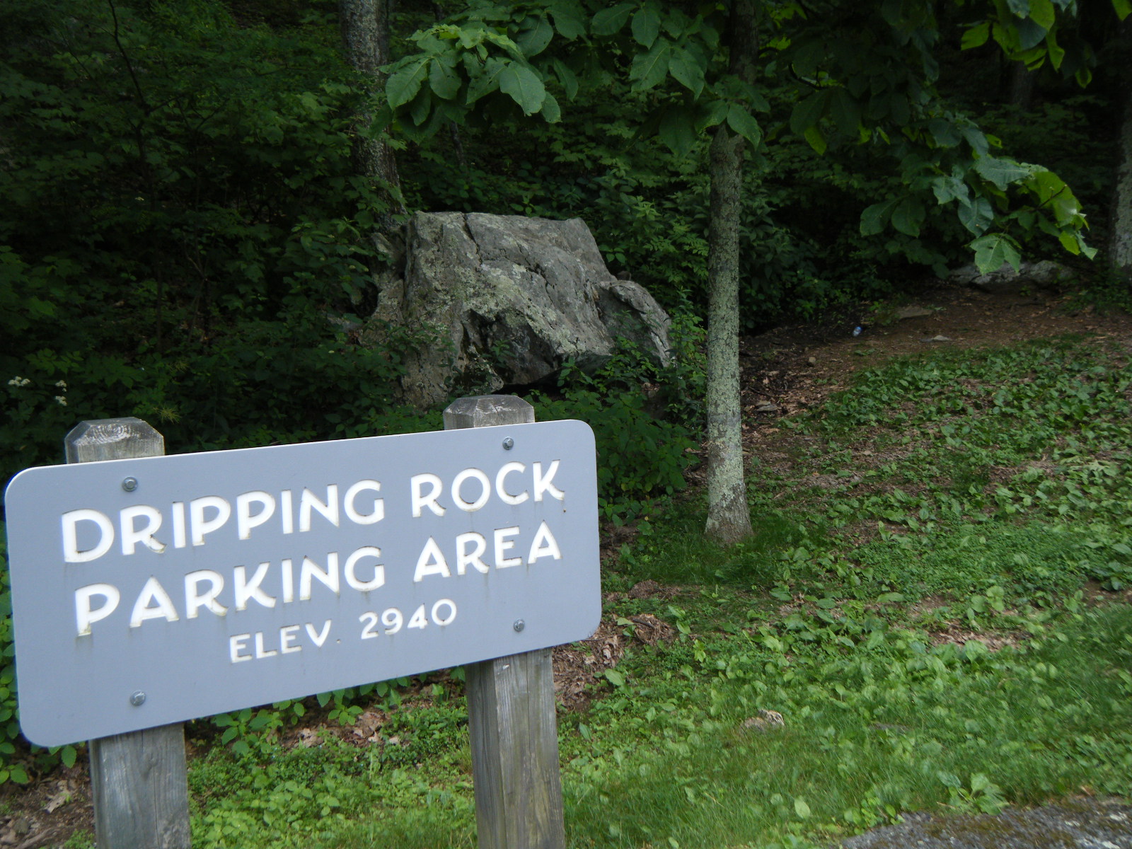
On Tuesday June 14 I hiked 15.8 miles to the Paul C Wolfe Shelter. There were a couple good views and some gorgeous trail, but all of that was overshadowed in my memory by those infernal rock steps. I spent most of the day still on a 20-mile stretch of very rocky trail, and it seemed like I was going uphill a lot more than I remembered seeing in the elevation profile. Also, most of that climb was rock steps. I loathe rock steps. They’re like climbing a staircase where every step is 1.5-2 feet tall. It’s exhausting. The grade wasn’t even steep enough to merit the steps, but for some reason someone built them, and it forced me to wear myself out making big movements rather than conserve energy with smaller movements. It was exhausting and incredibly frustrating. I yelled at the trail a few times. Also, “Dripping Rock” was either very poorly marked and so easily missed, or it wasn’t dripping. The Paul C Wolfe Shelter, however, was quite nice. It was there I met a man named Rat who had SoBo’d in 2008, and it turns out he and I have very similar tastes in music and movies. We chatted for awhile then went to sleep.
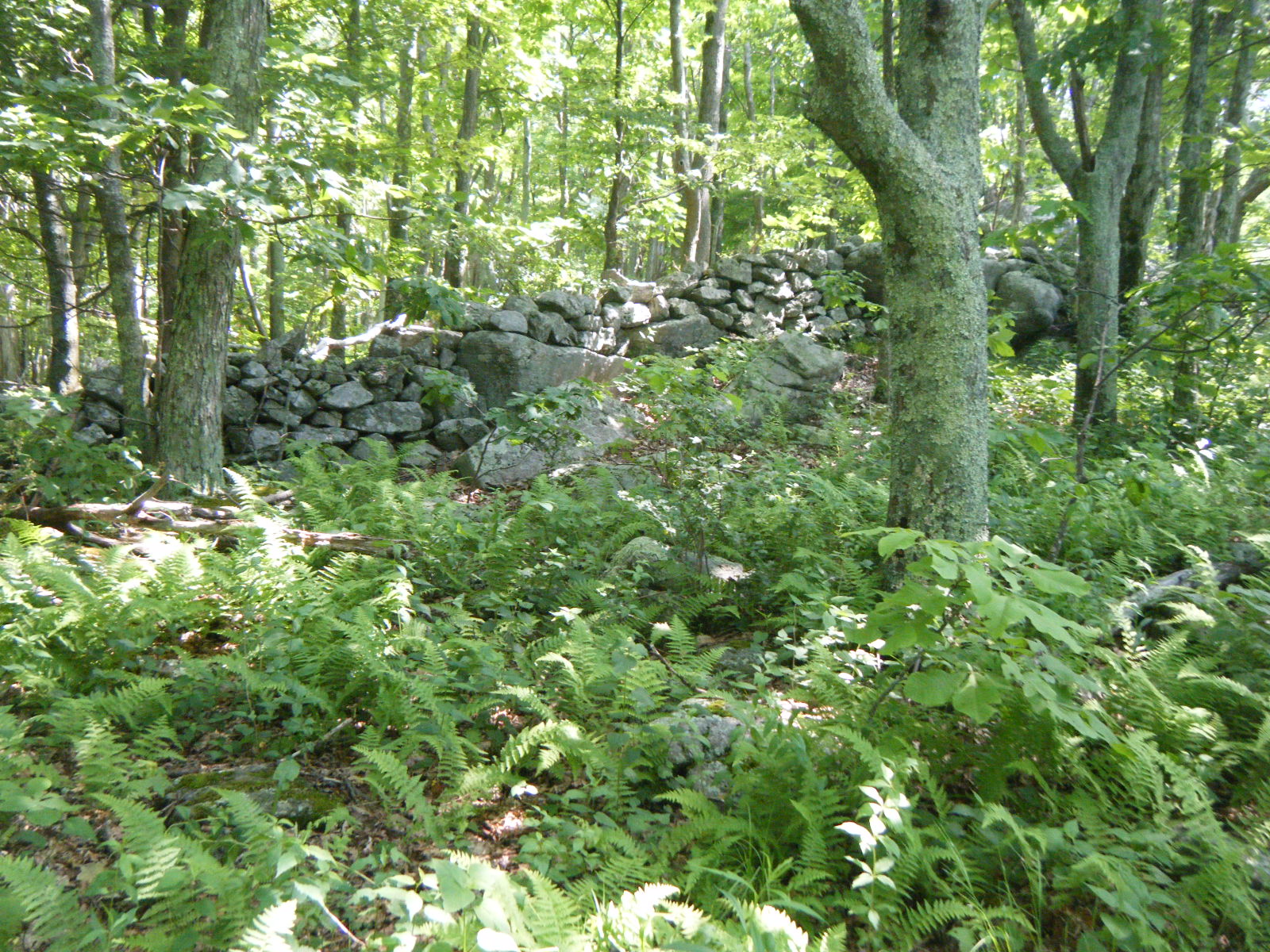
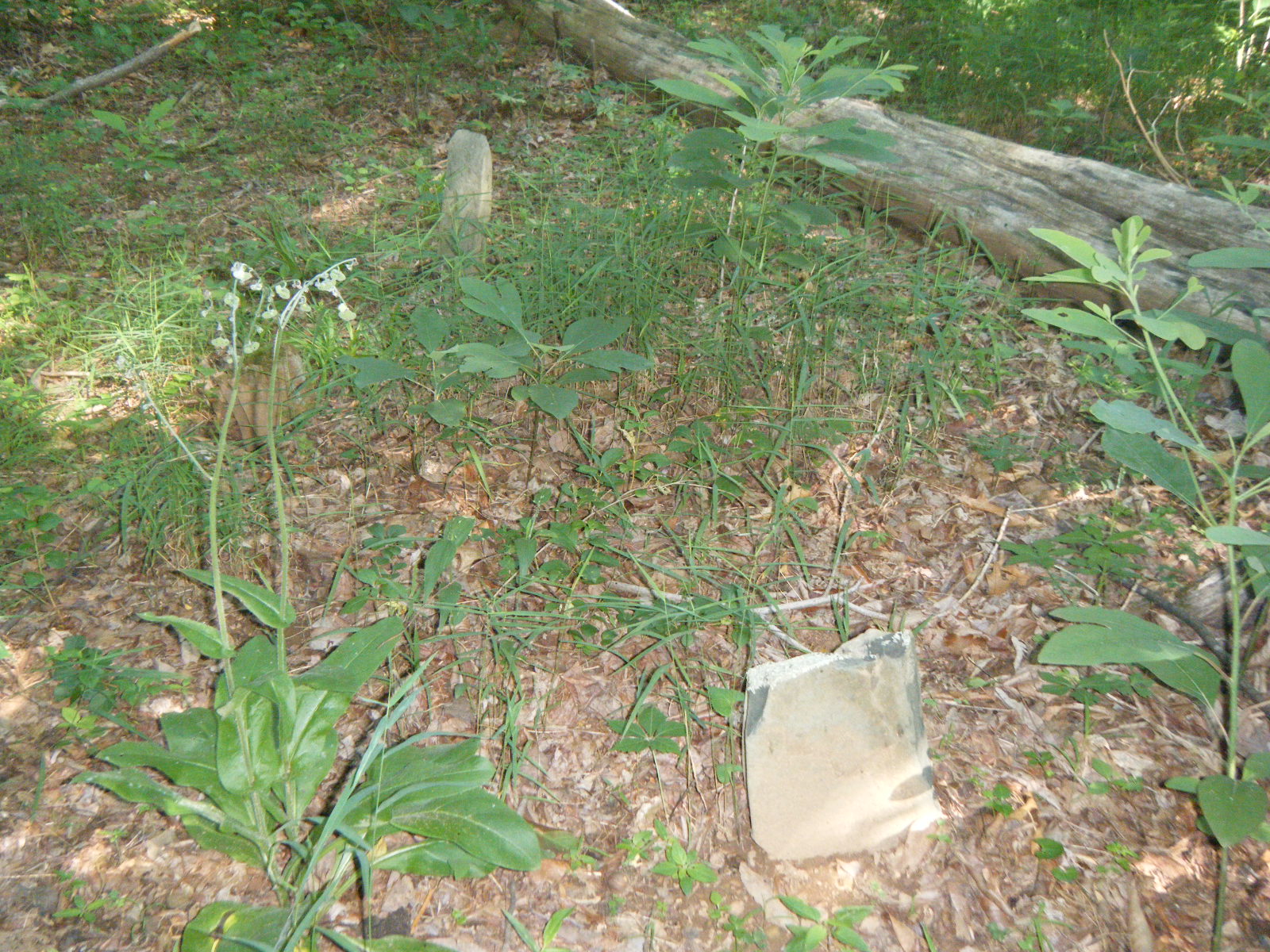
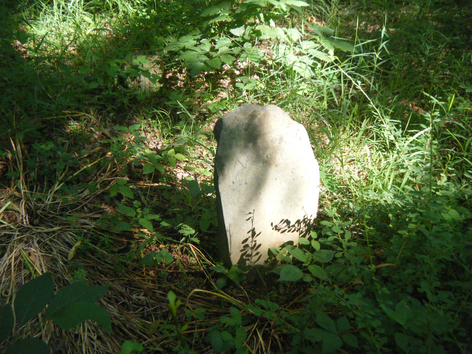
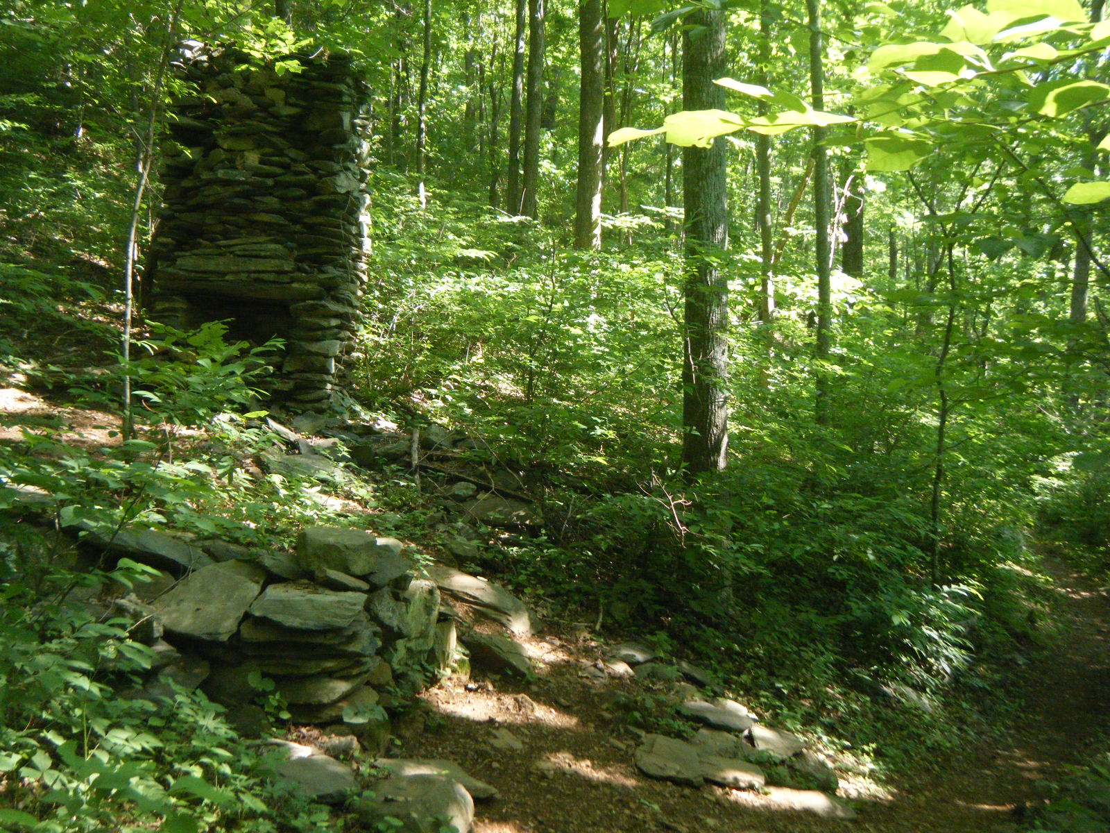
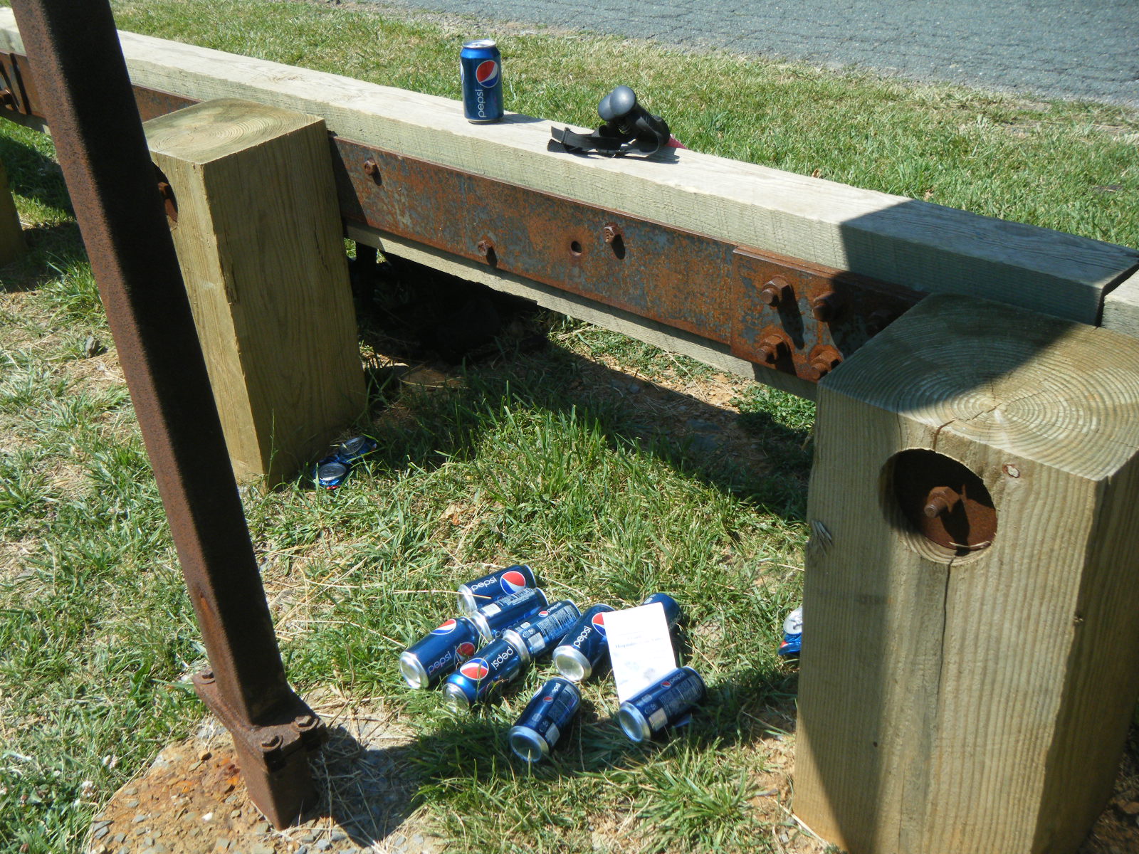
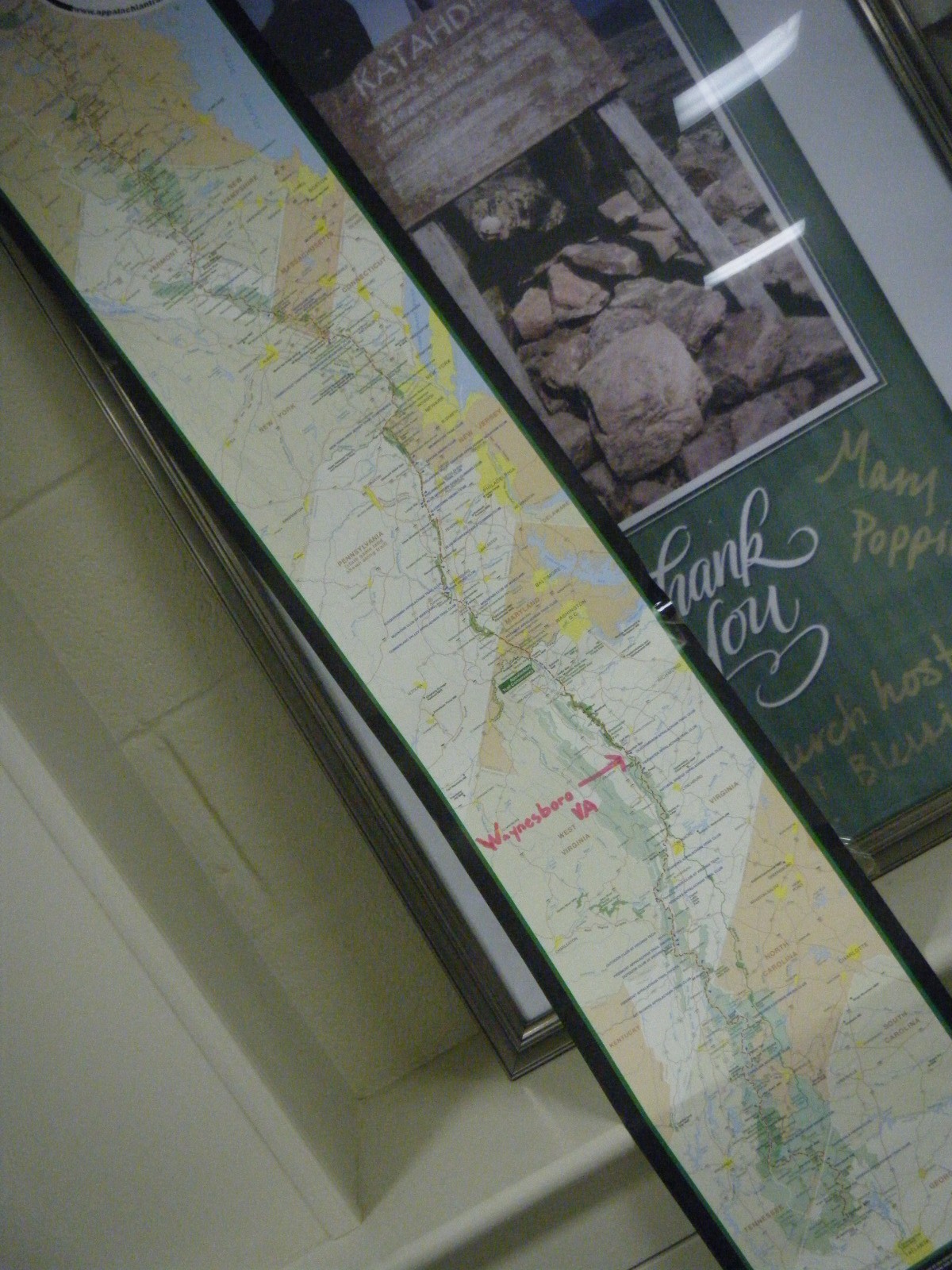
I awoke fairly early on Wednesday June 15 – probably around 8:00am judging by the sun position. I had a quick breakfast and then headed to Waynesboro. Along the way I came across a small cemetery with a few gravestones that were eroded such that you couldn’t read them, and I also passed a chimney. Once I reached the highway I found a bunch of Pepsis waiting for me along with a note providing the phone numbers of many trail angel volunteers, willing and able to give you a free lift into town. I helped myself to a Pepsi and started examining my guidebook for a place to overnight when a man named Tom Brown pulled up and asked if I’d like a ride into town. I accepted and he took me to the post office. Tom was just dropping off a hiker and picking up another, but had room for me too. He was very friendly & helpful, and was great conversation. Thanks Tom. I retrieved a letter from my Grandmother Howard and Alex Rowan at the post office, then headed to the YMCA for a free shower. I took two showers, actually – one with clothes and one without. I figured my clothes were just as stinky as myself, so they needed a wash as well. Afterward I air-dried on the YMCA lawn, then walked to Tailgate Grill for a light lunch of lots of french fries, 2 bacon cheeseburgers, 2 grilled cheese sandwiches, mozzarella sticks, and 2 beers. I then headed to the library to upload some photos and videos. While in town I ran into Feather (I met him long ago, and I’ve bumped into him again the past couple days) who told me he’d just been kicked out of the AYCE chinese buffet for eating too much. I congratulated him on the accomplishment.
Tonight I’m staying in the basement of the Grace Lutheran church. It’s one of two free lodging options for hikers, the other being a tent on the YMCA lawn. The church is preferable since it’s air conditioned, there’s a lounge area with TV, internet access, couches, snacks, etc, and on Wednesday nights (tonight!) they serve a spaghetti dinner.