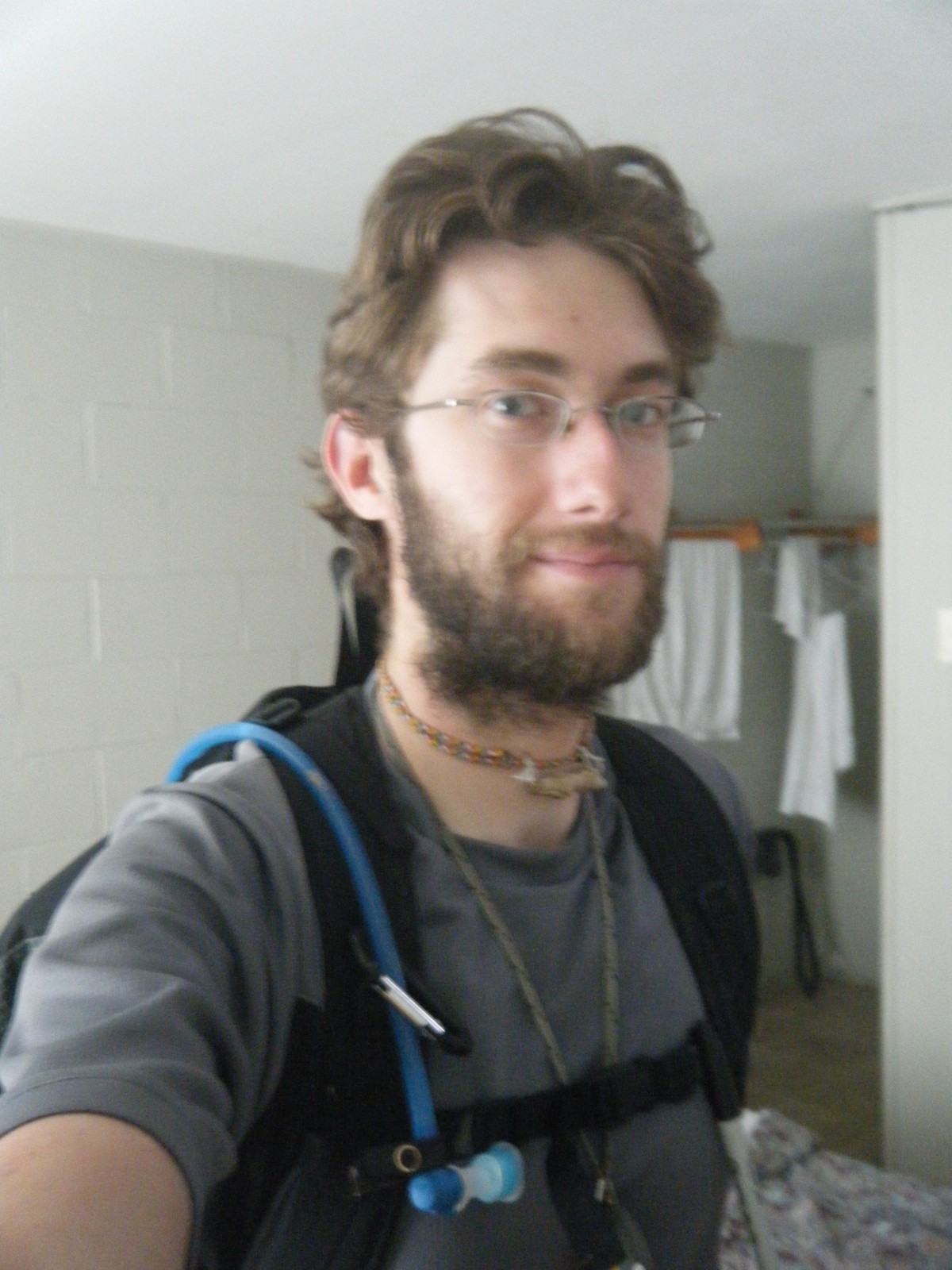
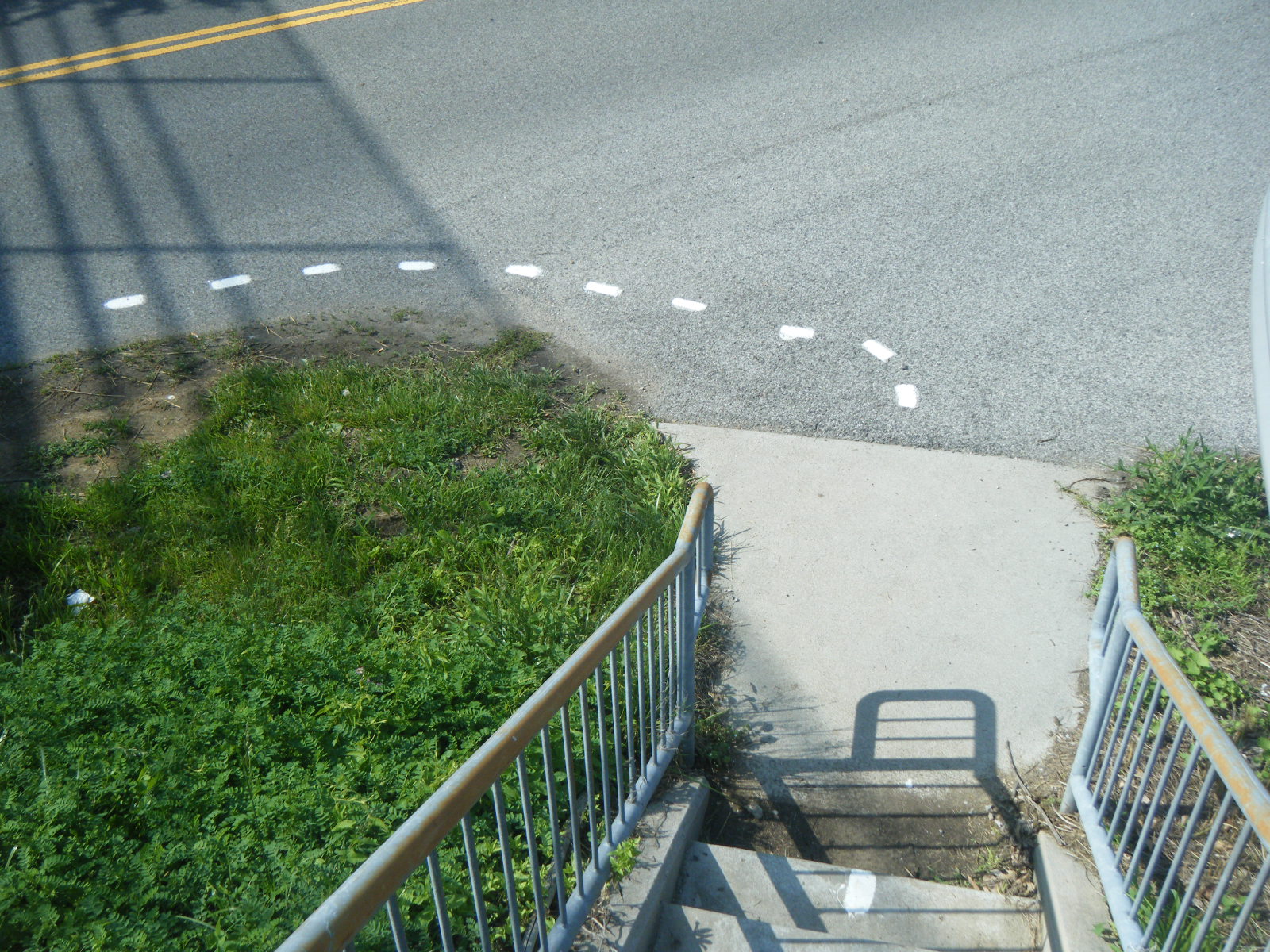
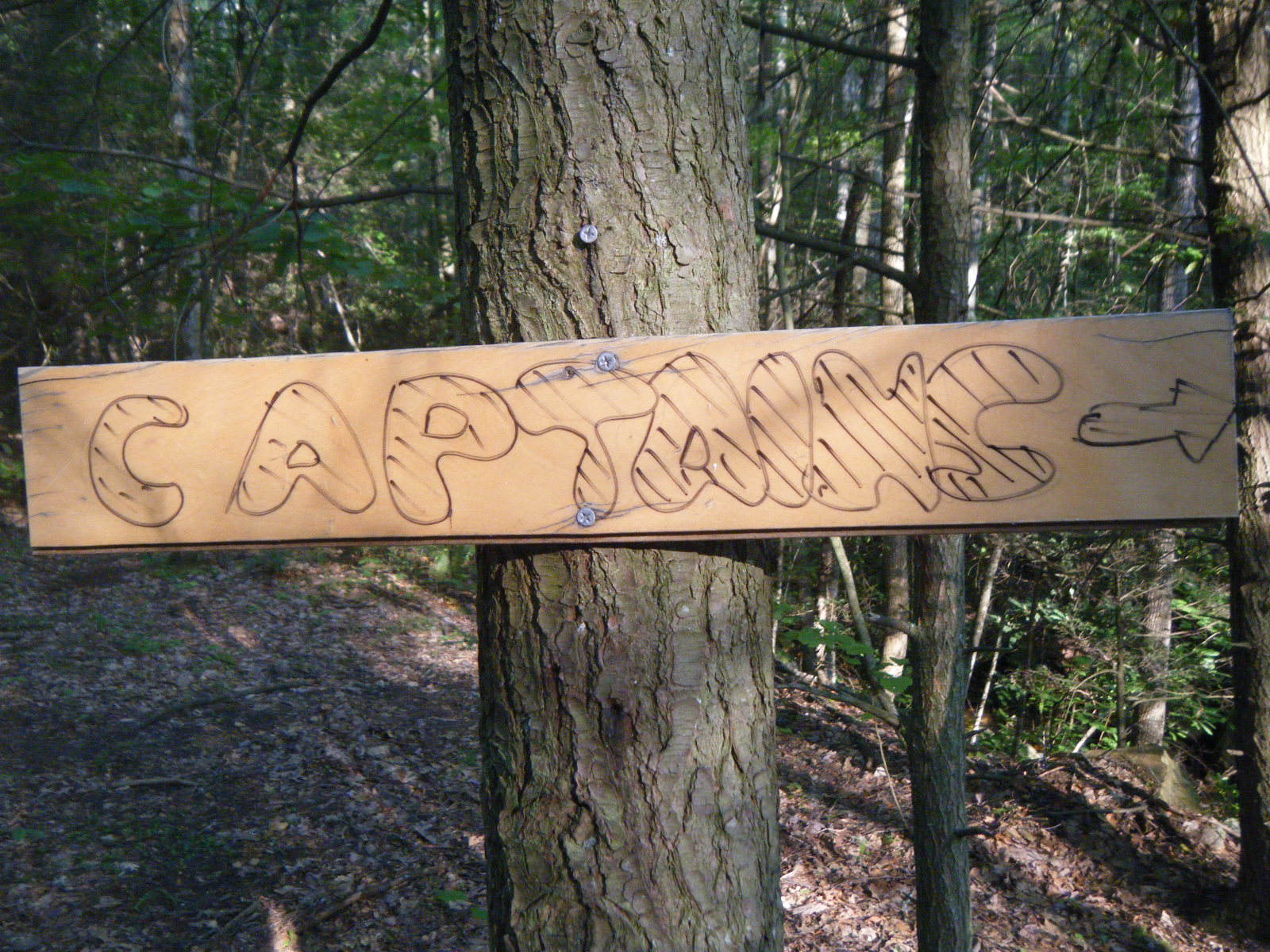
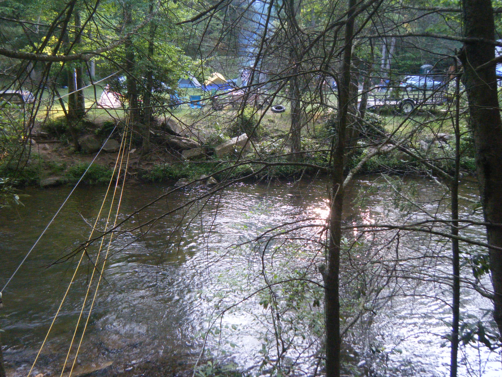
On Saturday May 28, I was picked up early at the Plaza Hotel in Pearisburg by The Captain and he drove us to his house for the hiker feed. There were plenty of hotdogs, hamburgers, chips, cookies, pie, potato salad, etc. It was a good time. There were about 20-30 hikers present when I arrived, and more arrived throughout the day and night via the bosun chair rigged over the river separating The Captain’s lawn from the AT. After a lot of eating, the hikers started competing for ice cream in the hiker olympics, which included the following events:
- Aluminum foil art contest – Just make something creative.
- Bear bagging – Contest of accuracy in throwing a rope over a tree branch.
- Wildlife search – Find as many flora from the list as possible.
- Pack scavenger hunt – Find as many listed items in your pack as possible. I didn’t have my pack at The Captain’s so I was unable to participate.
- Limbo – Same as always, but more interesting when everyone has inflamed joints.
- Conserve the water – Toss a bucketfull of water at your teammate who catches it in his/her bucket and so on down the line until the bucket at the far end is filled. Fastest wins.
I participated in a few of the events. My team won second at conserving water, so we got a half pint of Ben & Jerry’s Chunky Monkey ice cream. Between 6 and 7:00pm The Captain brought Nate Dog and me back to Pearisburg so we could do our grocery shopping before the stores closed.
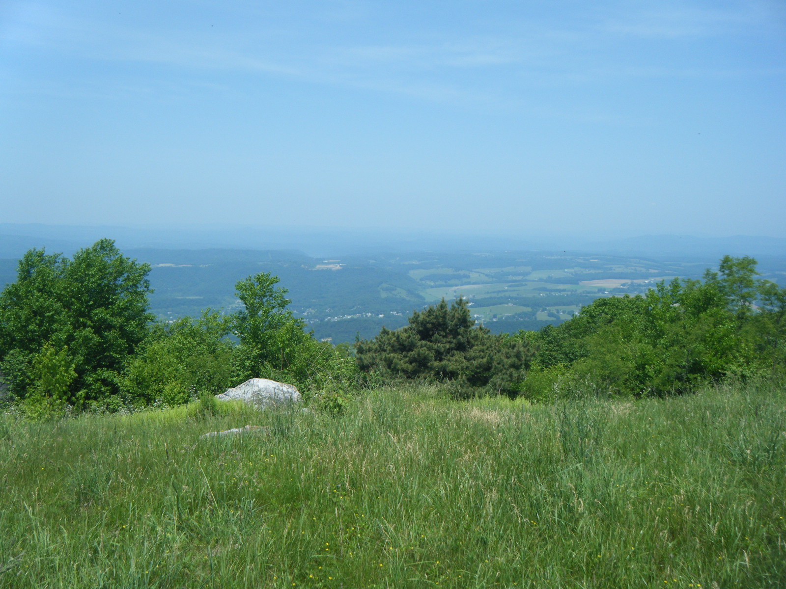
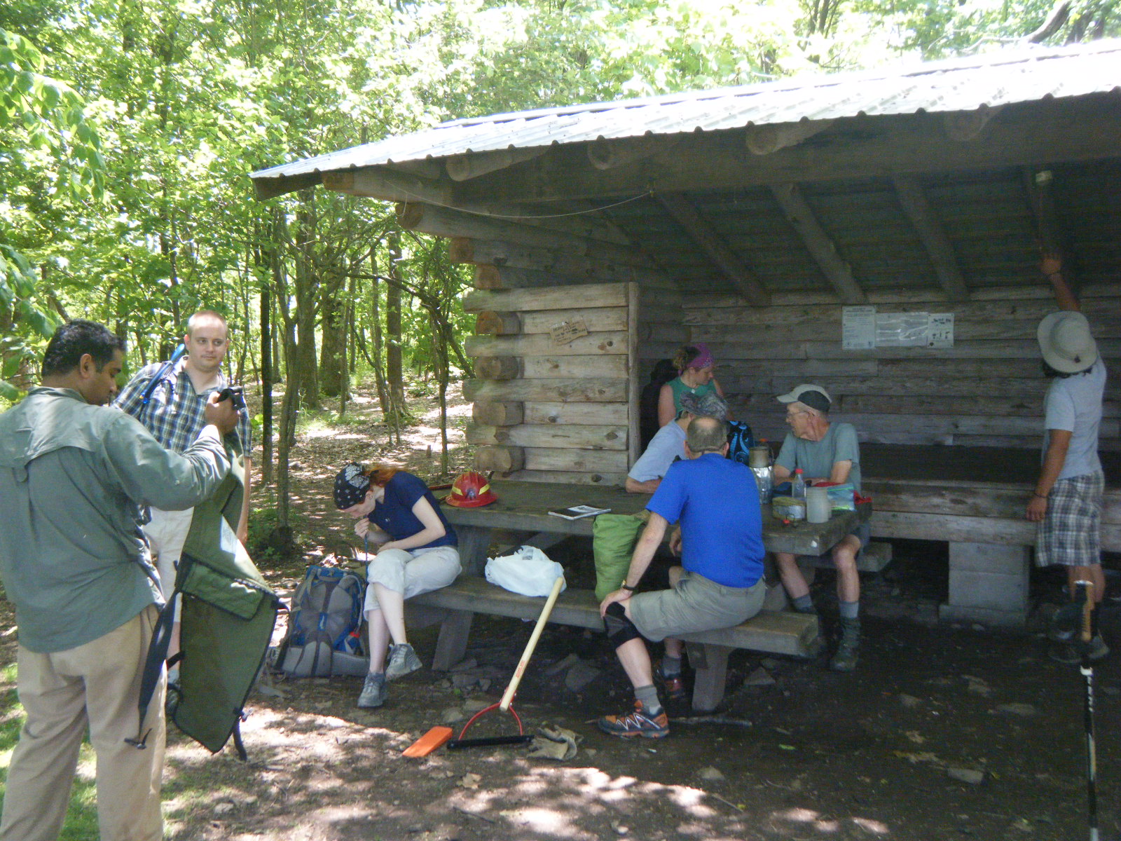
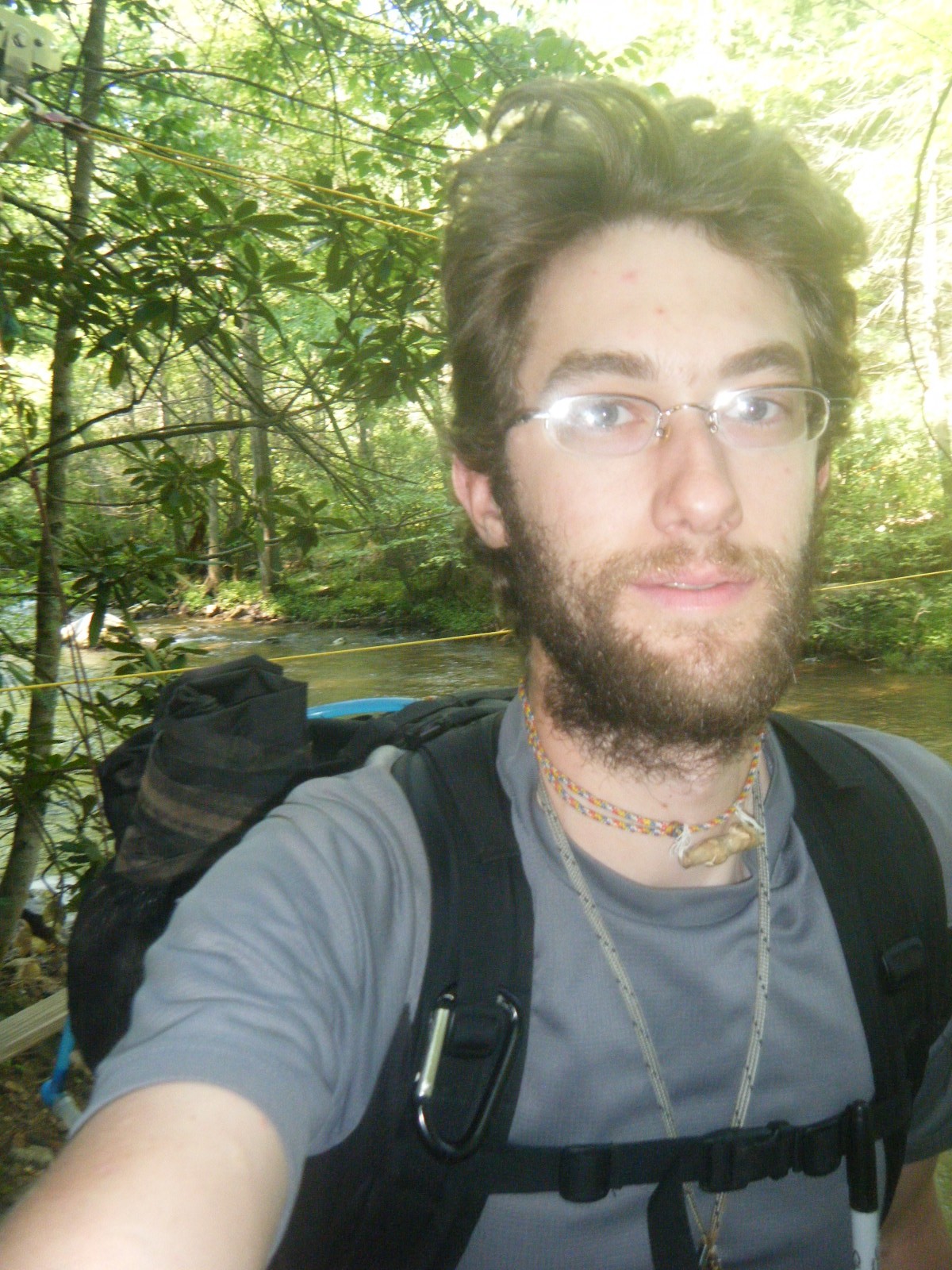
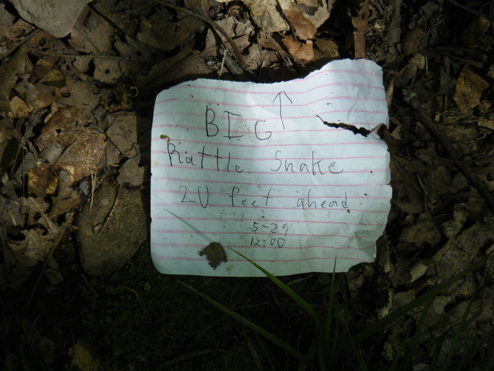
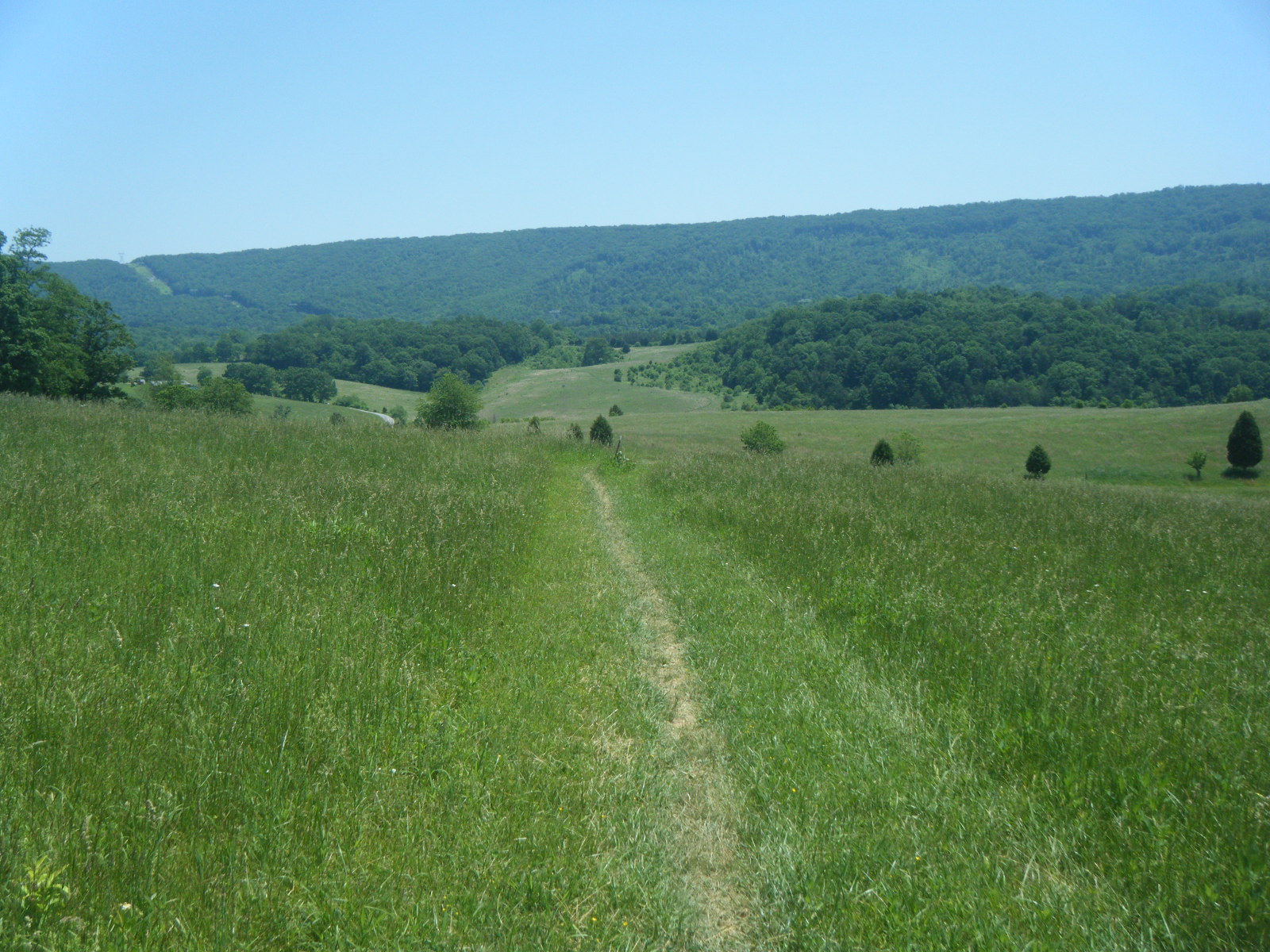
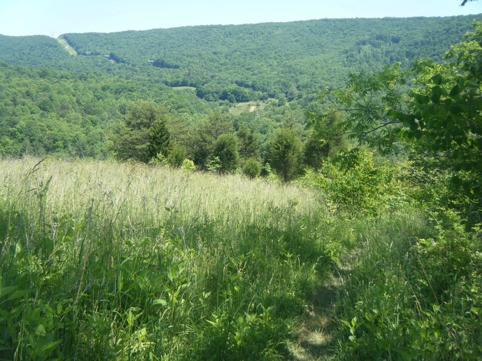
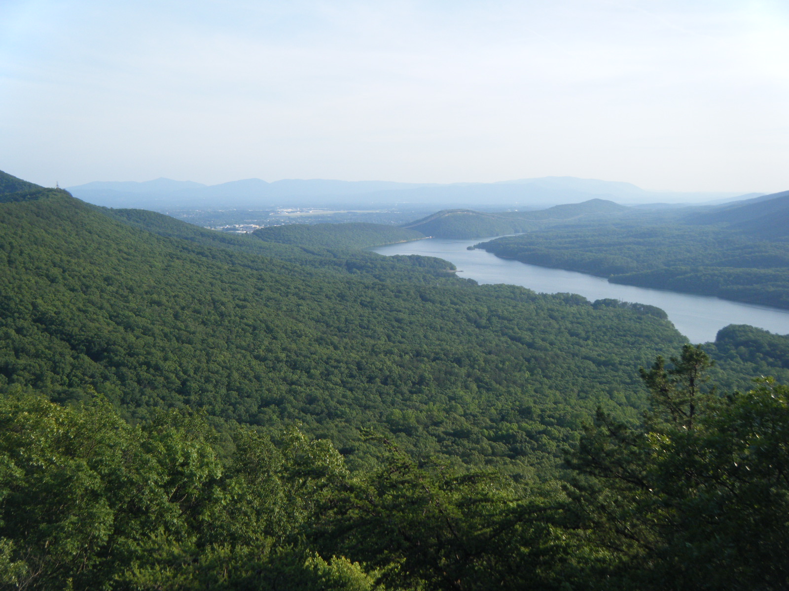
In the morning (Sunday May 29) Nate Dog and myself split the bill with Raw Indy to have the majority of our supplies shuttled ahead to The Captain’s and then we hiked there ourselves via the AT, carrying only food and water for the day. About 2 miles into the hike my knee started hurting about as badly as Friday, but since all of my gear was 18 miles up the road I had little choice but to keep going. For lunch I took a break at Rice Field Shelter which was atop a peak beside a meadow. There was a pretty great view from the meadow of the valley below, and a gorgeous campsite as well. Unfortunately the water at this location is 0.3 miles down a very steep trail to an “unreliable” spring (others told me the spring was flowing very well at the time), and I was without any and all gear necessary for camping. I did however rest for a bit and pop a few ibuprofen while chatting with the maintenance crew of volunteers present to repair the privy. After lunch I thanked the volunteers for their efforts and pushed on. Along the way I met DC headed South, also slack-packing. I eventually discovered that my knee didn’t hurt too much as long as I never fully extend or fully bend it, so I hiked the last few miles to The Captain’s with my knee slightly bent at all times. After reaching The Captain’s I iced the knee with ice from the cooler of beer, which was present because the previous day’s party was still occurring. Raw Indy gave me some Amish-made “deep tissue oil” for my knee, which is basically Icy Hot. PS: Raw Indy is Amish. I set up my tent in The Captain’s yard and lay in bed day-dreaming all the worst-case scenarios for my knee, planning to zero the next day and potentially visit a doctor again. Eventually I fell asleep.
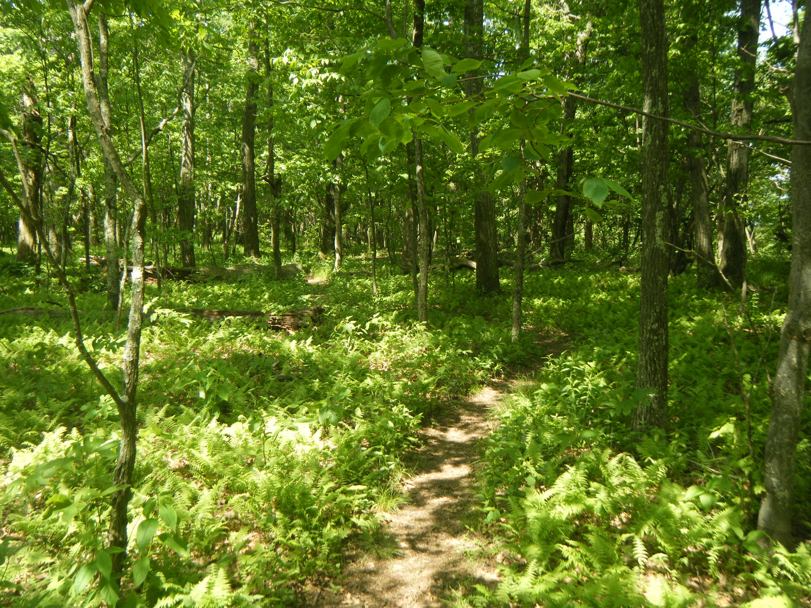
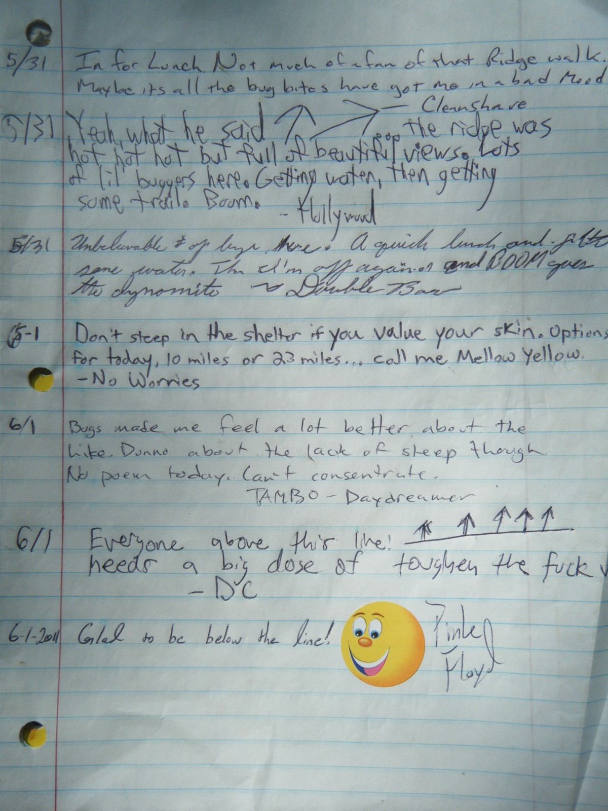
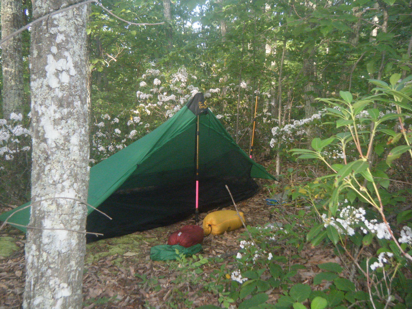
On Monday morning (May 30) I awoke with a very stiff, but not terribly painful knee. I packed up my gear and since I managed to fit all the food in my pack I decided to go ahead and hike on that day. Every time I resupply, I buy way too much food and I always end up questioning whether I can even fit everything – if I’d been unable to pack all my food, I would have zero’d at The Captain’s and reduced the food load throughout the day. I hiked the entire day (11.5 miles) without ever fully straightening my knee, and I managed to hike painlessly albeit slowly. I stopped at War Spur Shelter and spent the night with familiar faces – Saunter, Nate Dog, Raw Indy, DC, Croc, and a new friend I met at The Captain’s named Gumby (he stretches his legs religiously). The hike to the shelter was very rocky, very hot, and toward the end there was a sign pronouncing the shelter to be 1.3 miles ahead which was very wrong. By this point we all have a pretty good idea of how quickly we walk, and everyone mutually agrees that the shelter was at least 2 miles from the sign. One good thing about War Spur Shelter however is the water source – it was a large, fast-flowing stream, very close to the shelter and with quite cool water. This was the first night I didn’t prepare the next day’s water prior to going to sleep, so as to avoid premature warming of my drinking water. As soon as I tried going to sleep, the day turned horrible. It was a warm night and in this particular valley there was no air movement, particularly in the shelter. Also, with many people in the relatively small space of the shelter’s interior, it was warmer in the shelter than out. Also, I still have my 20-degree winter sleeping bag, which means I slept on top of it. The warmth issue was compounded by the fact that millions of no-see-ums feasted upon every inch of exposed flesh throughout the entire night.
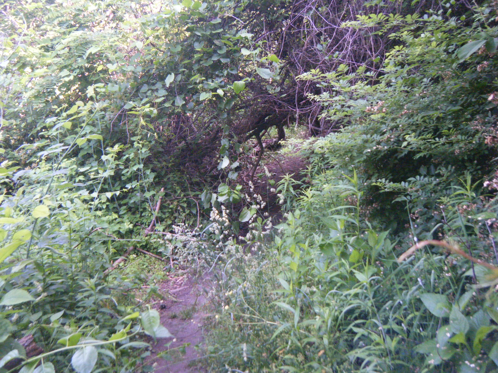
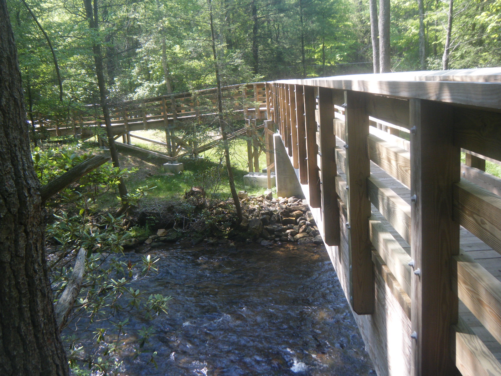
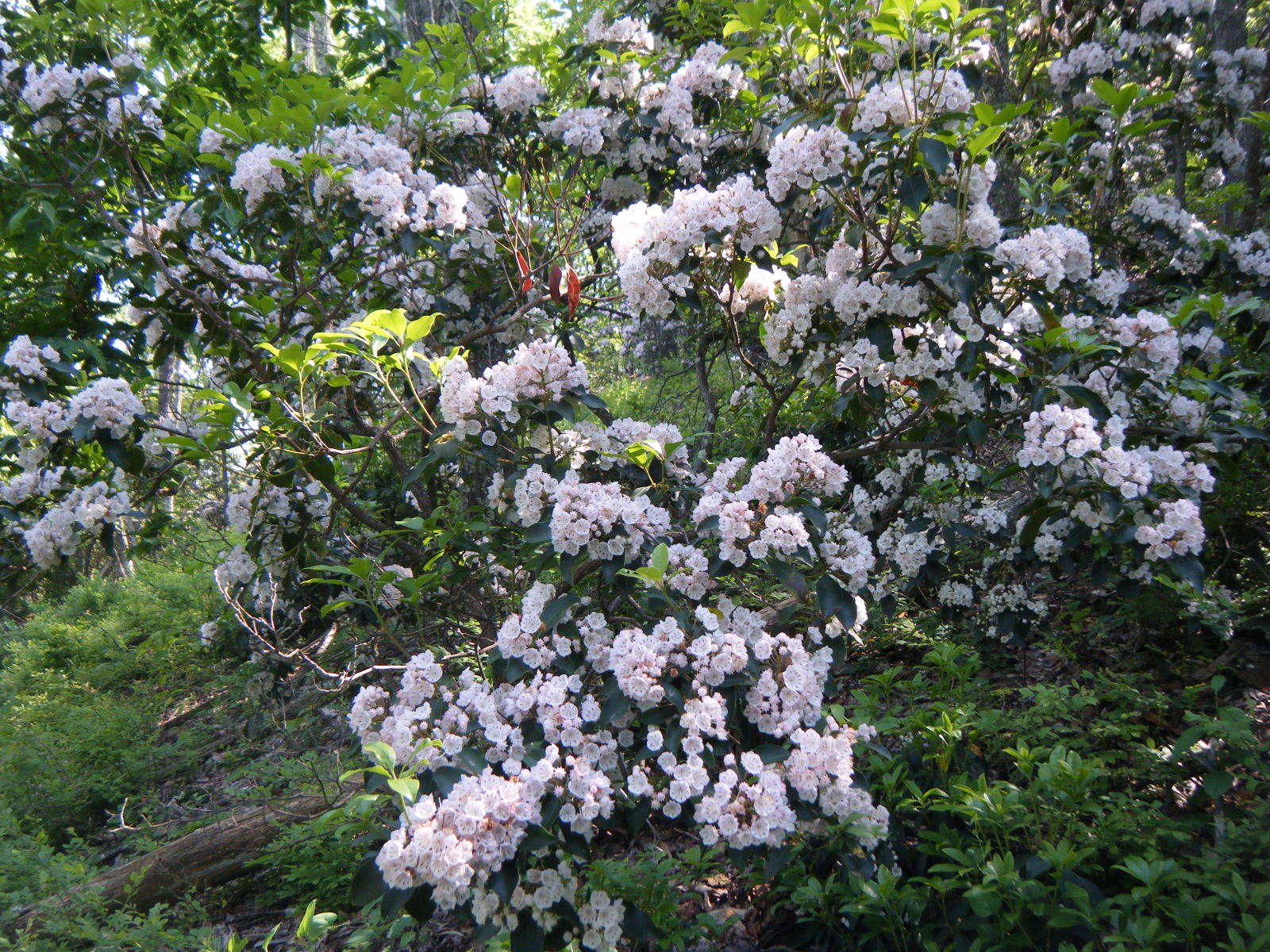
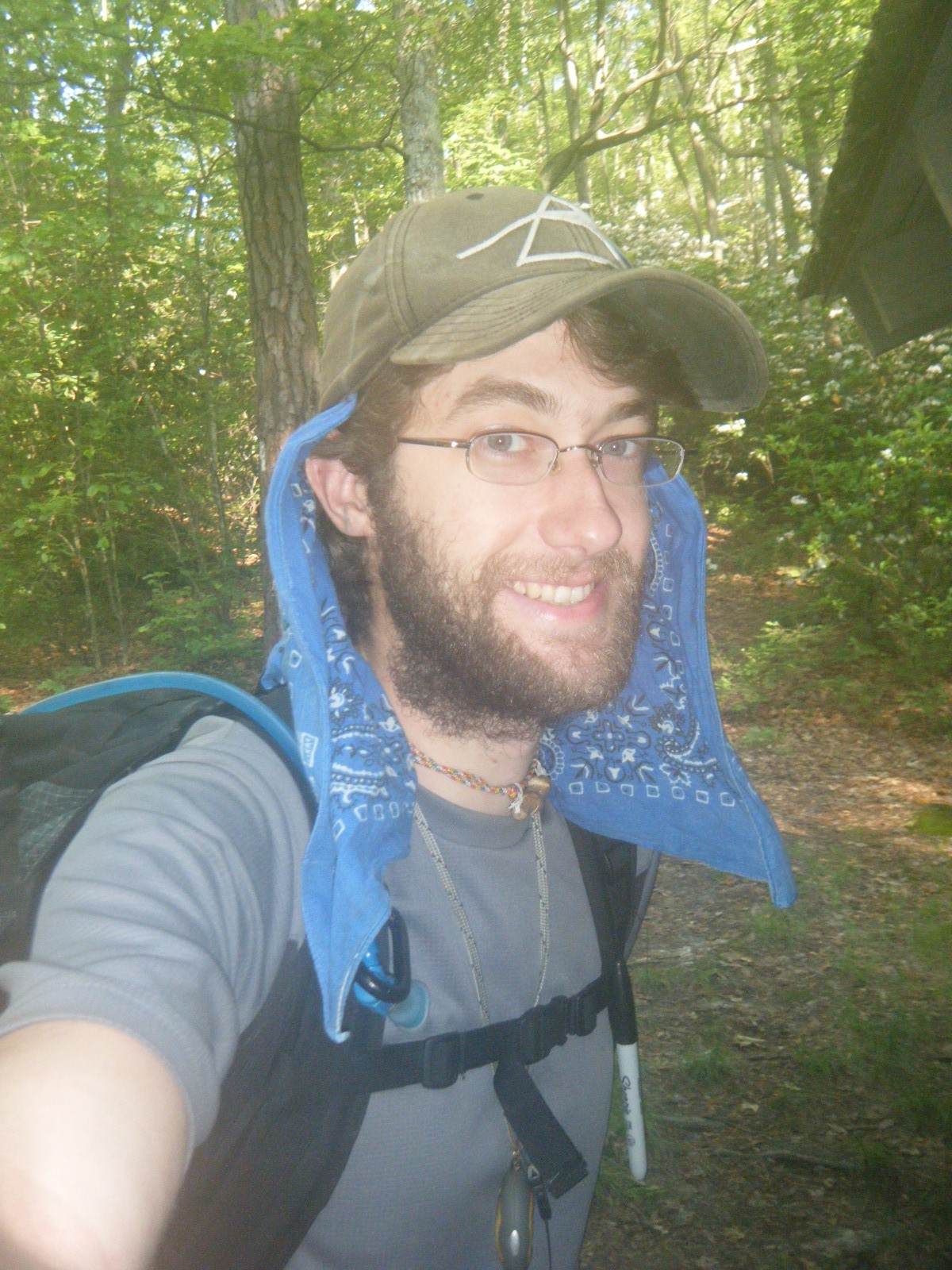
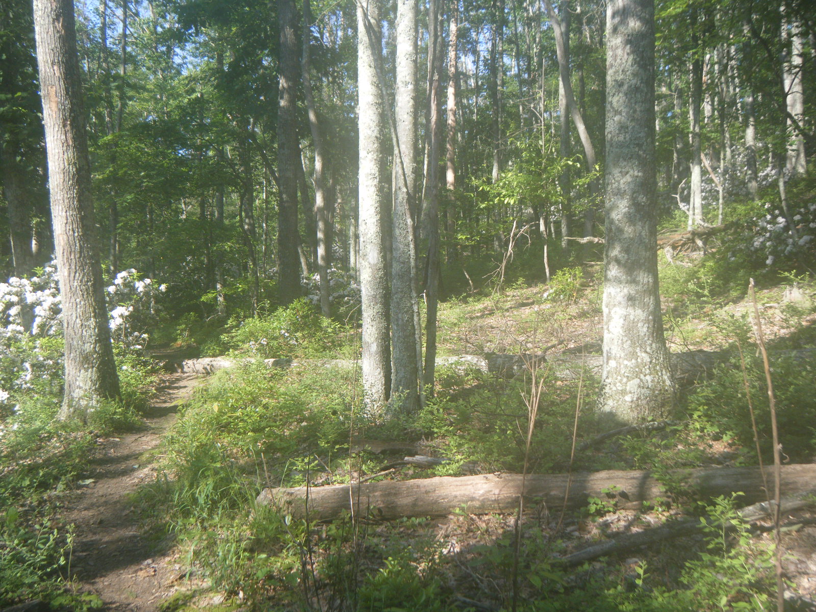
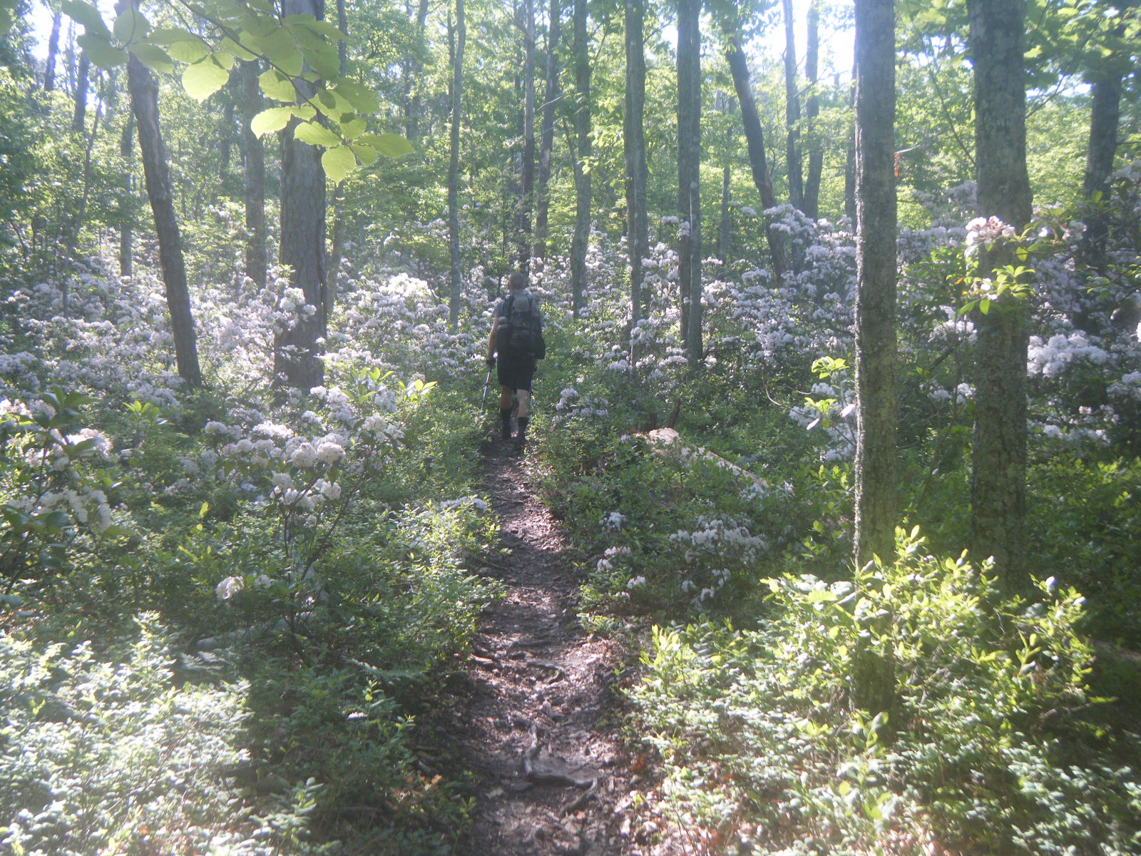
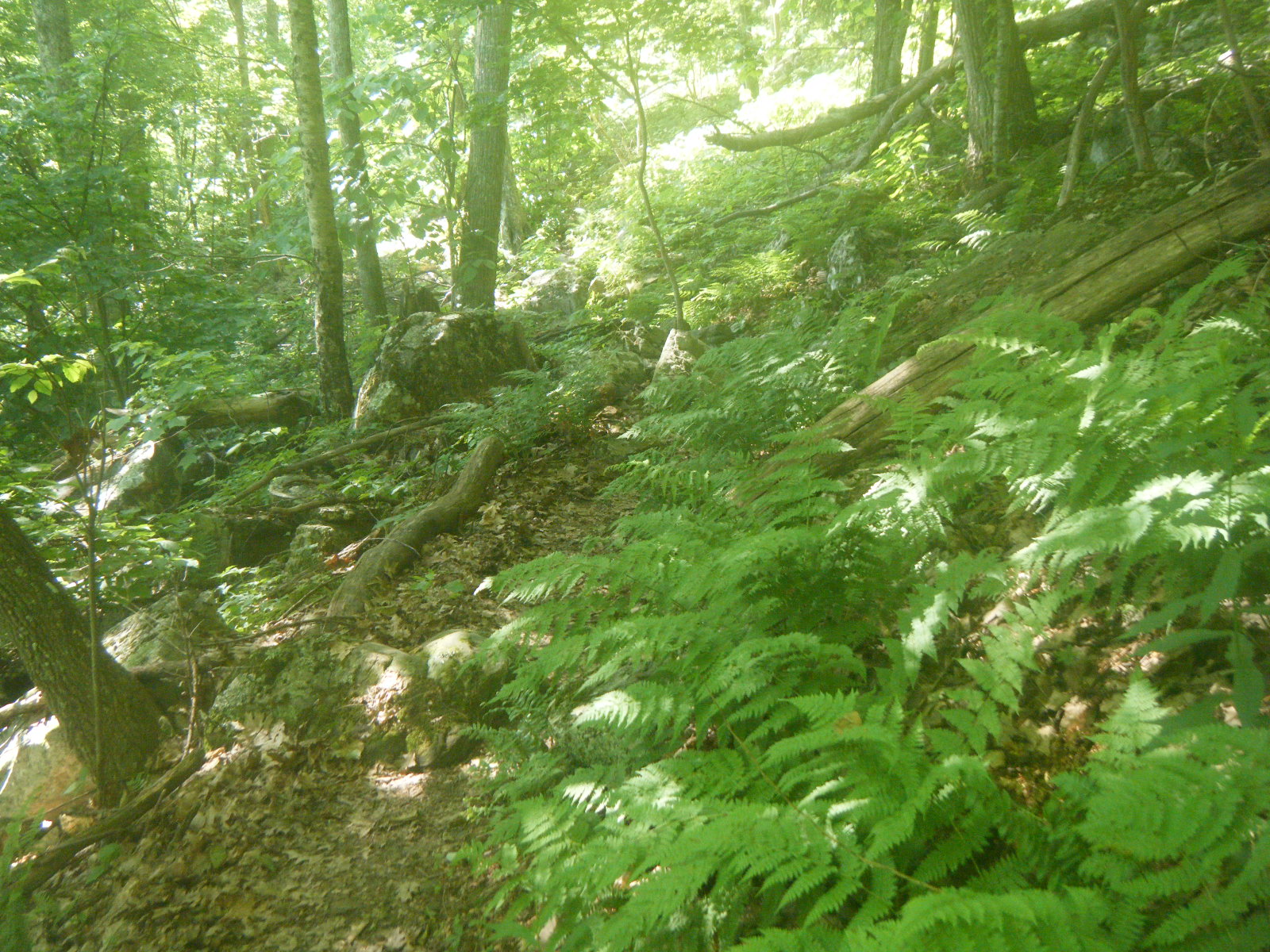
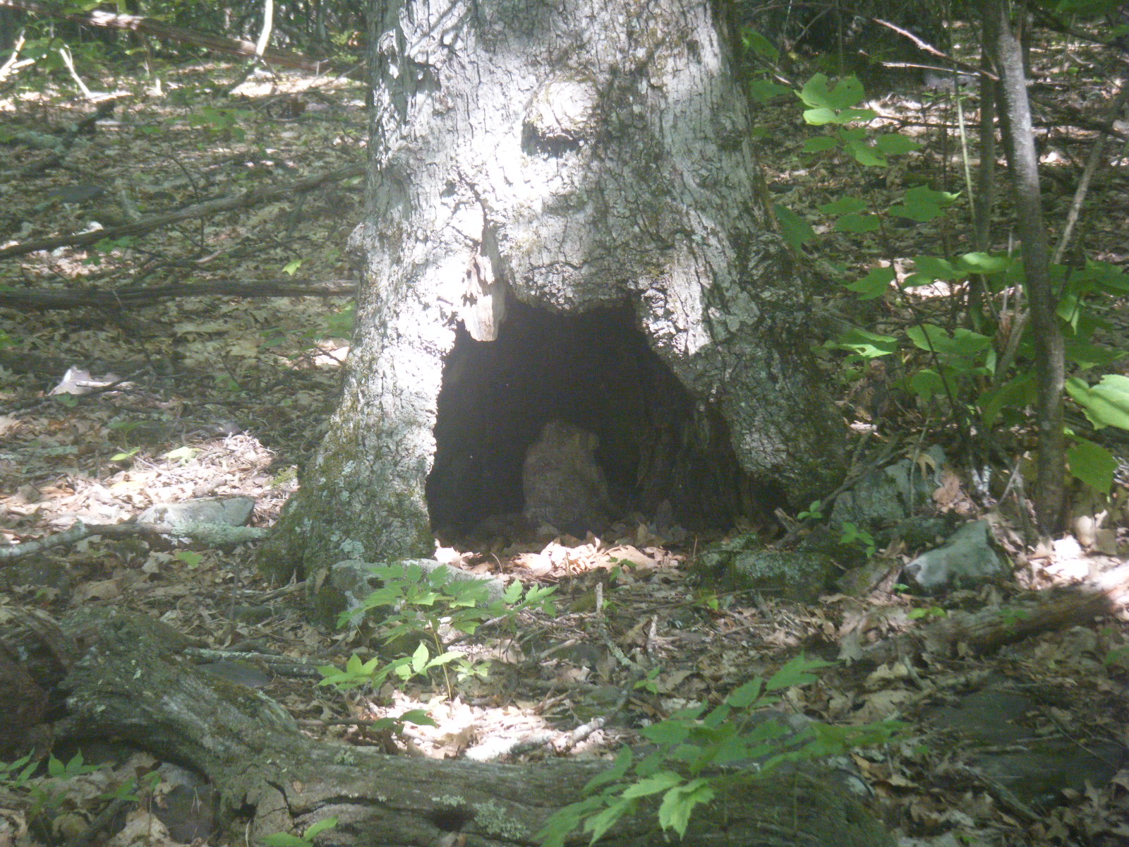
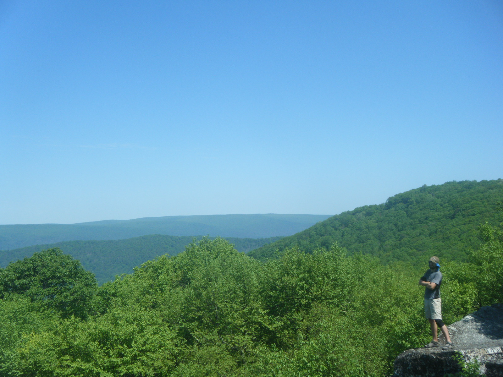
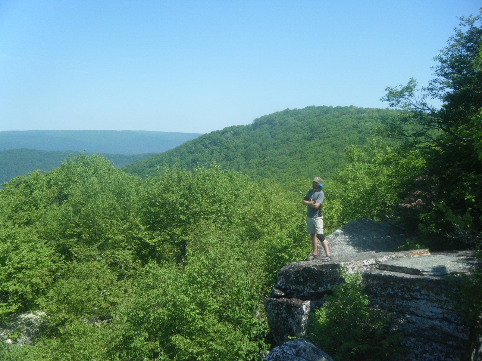
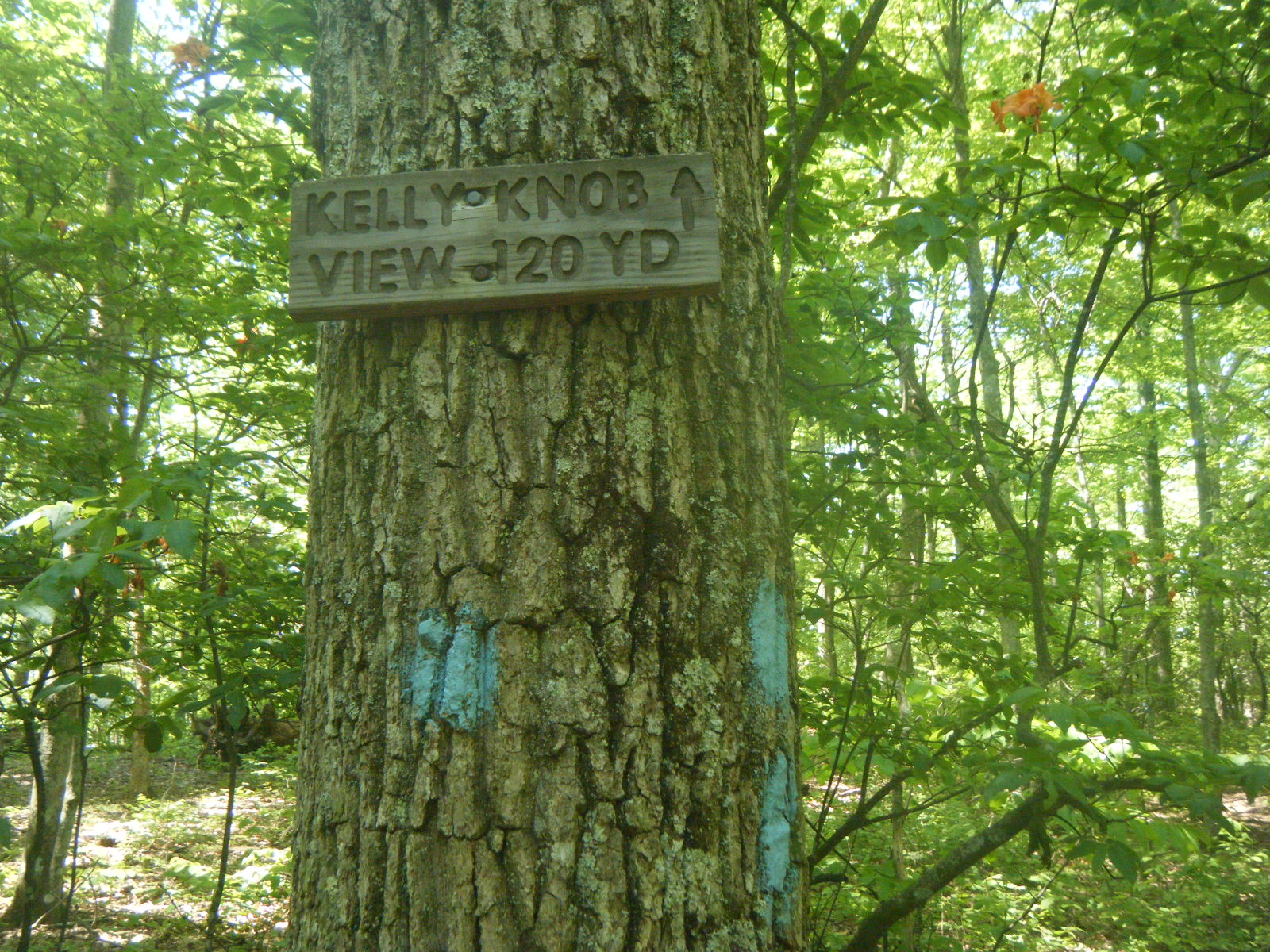
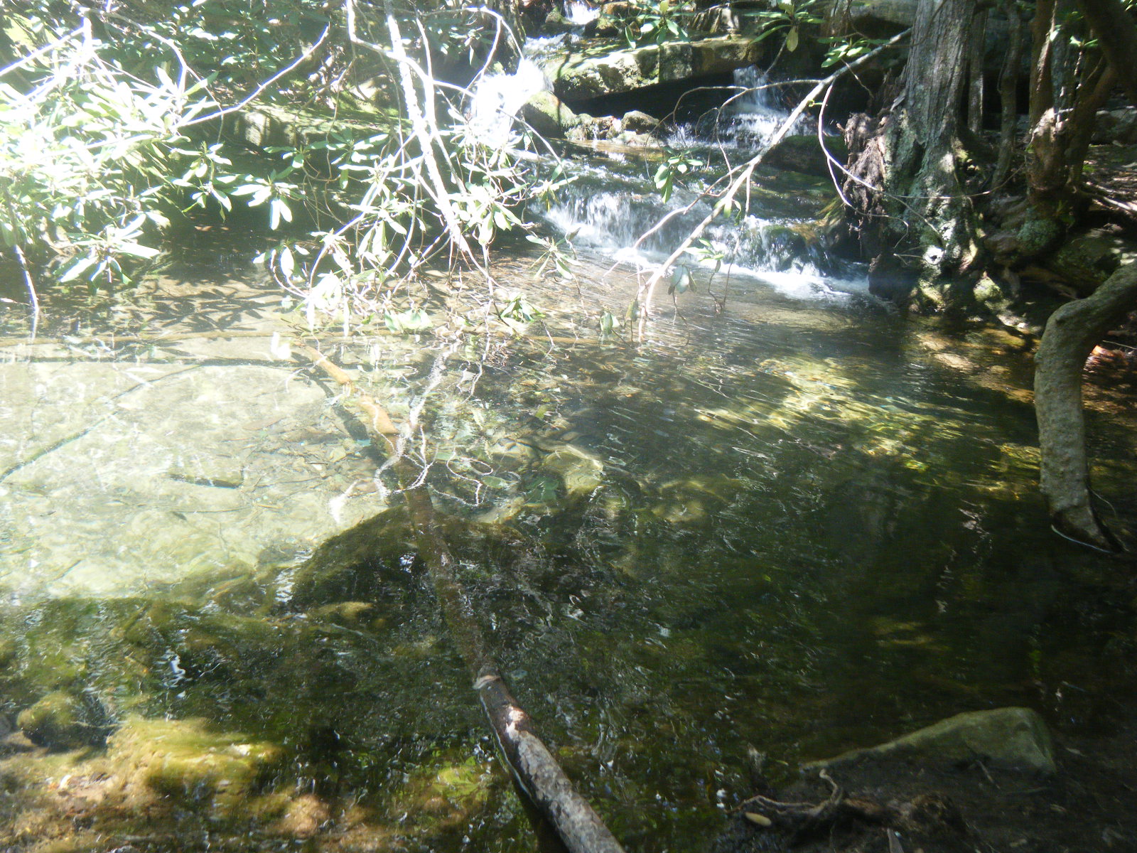
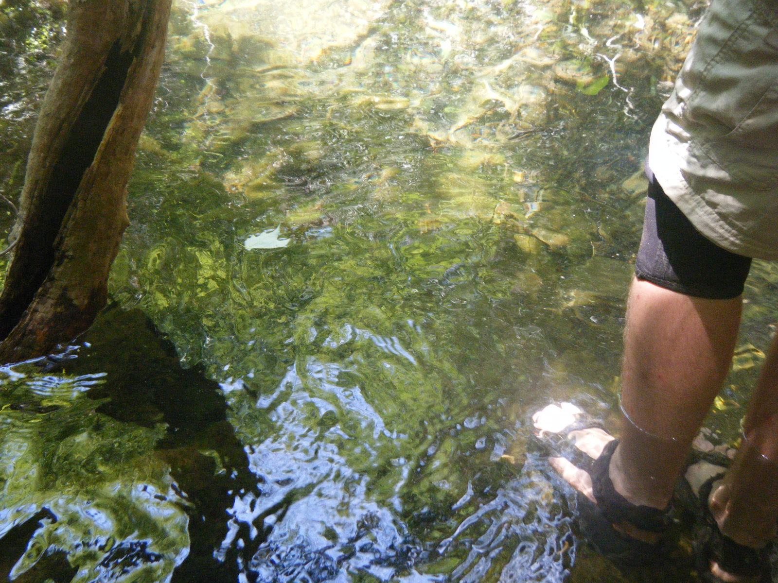
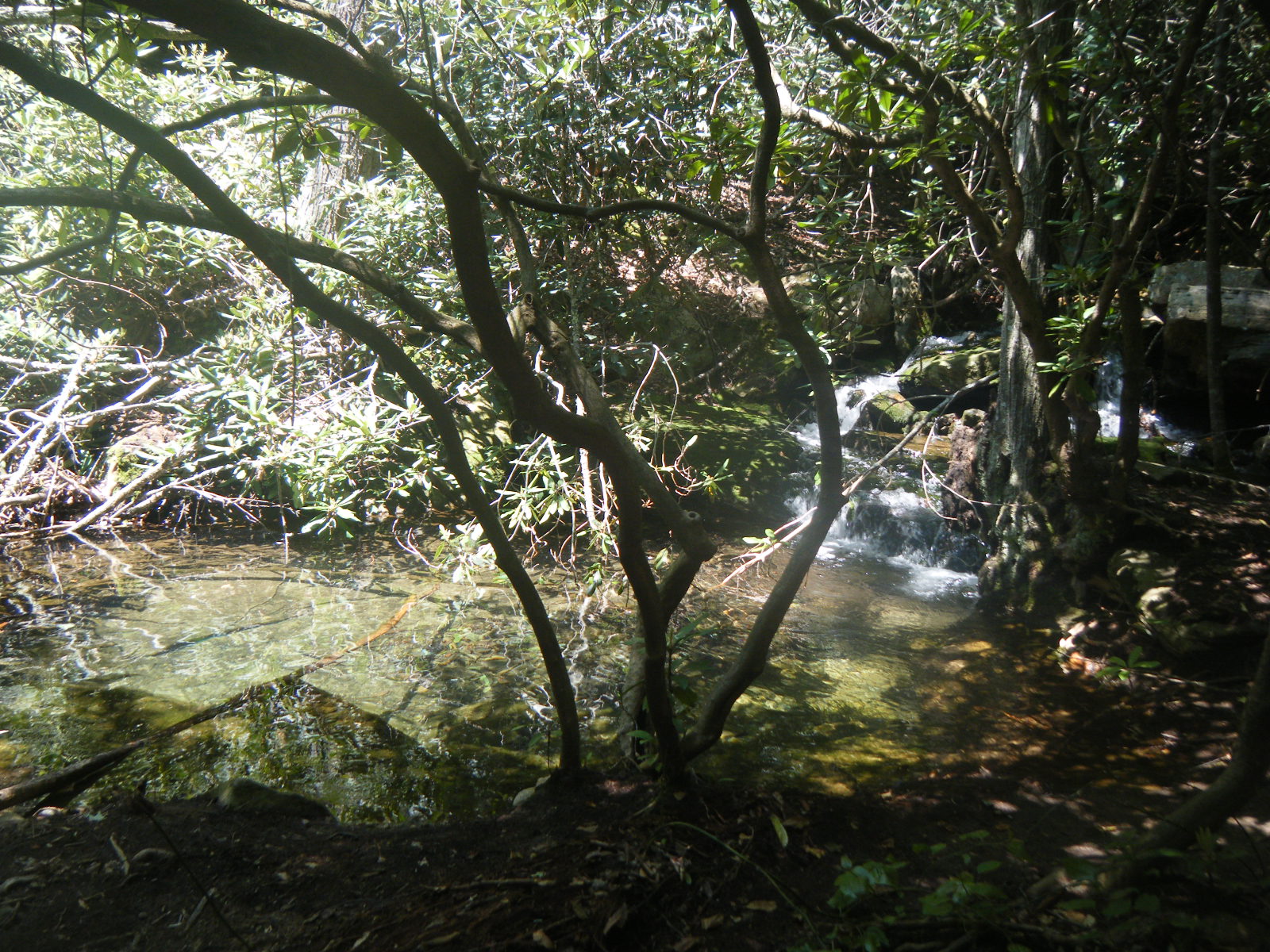
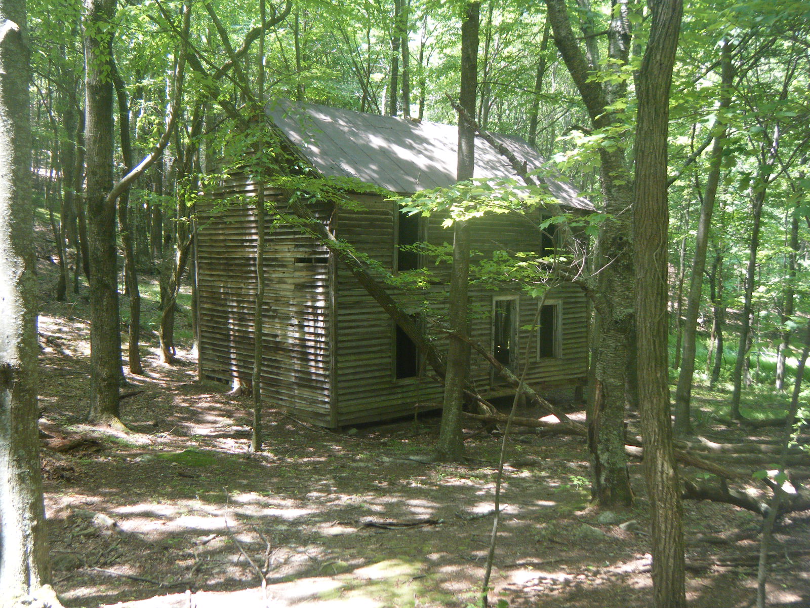
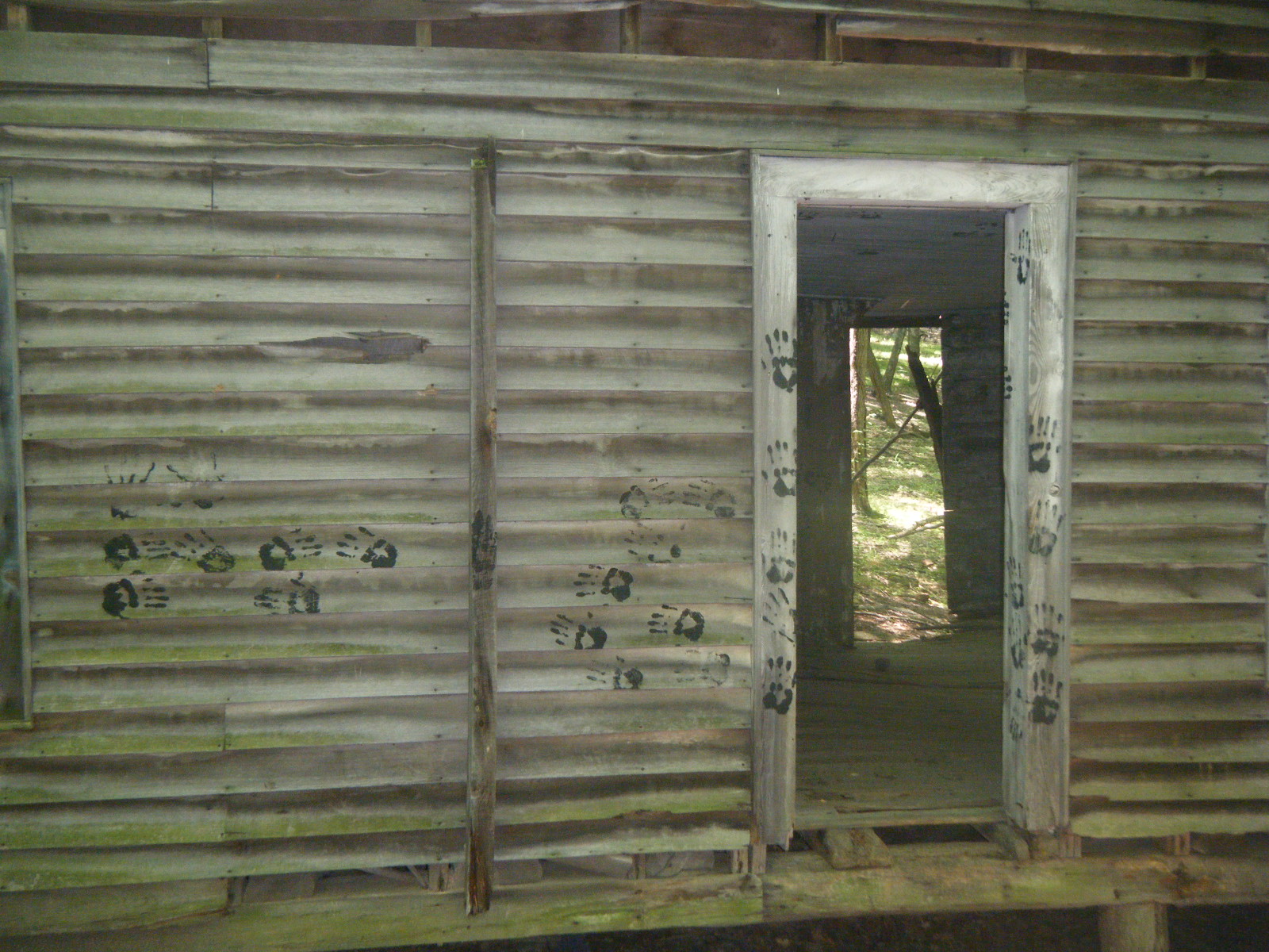
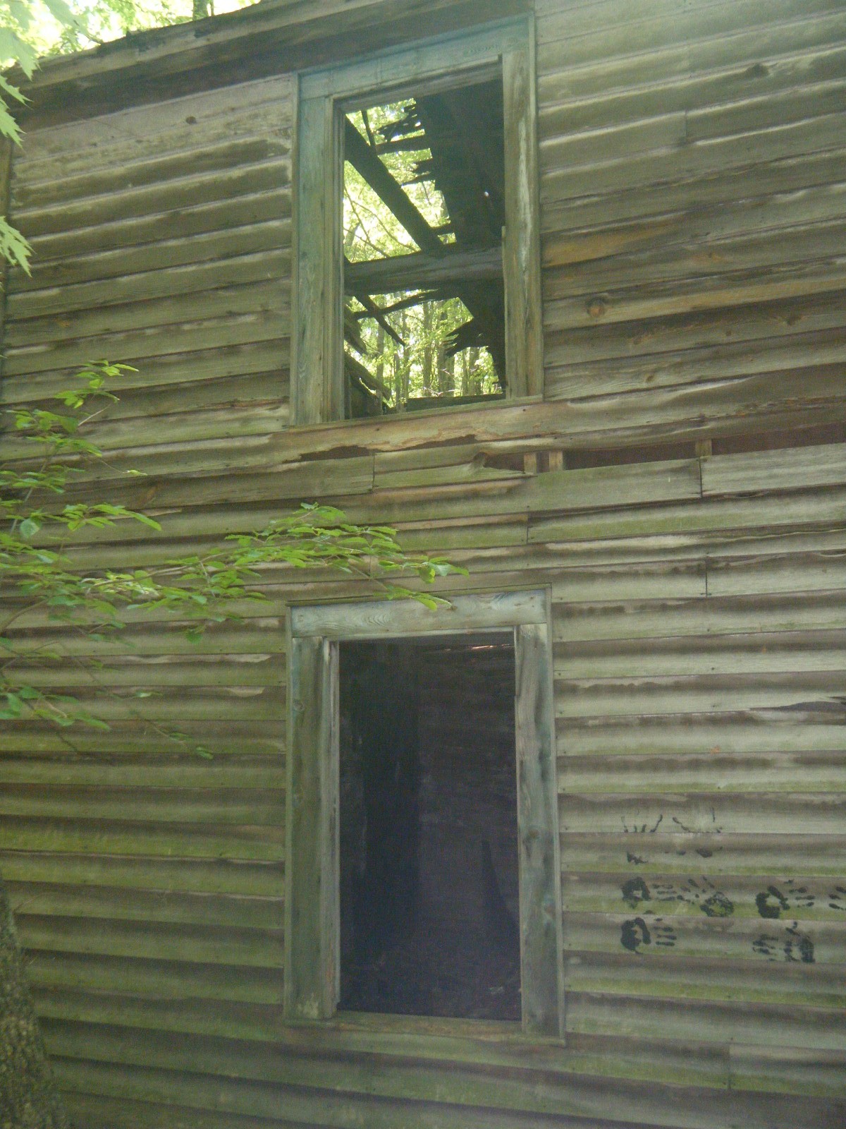
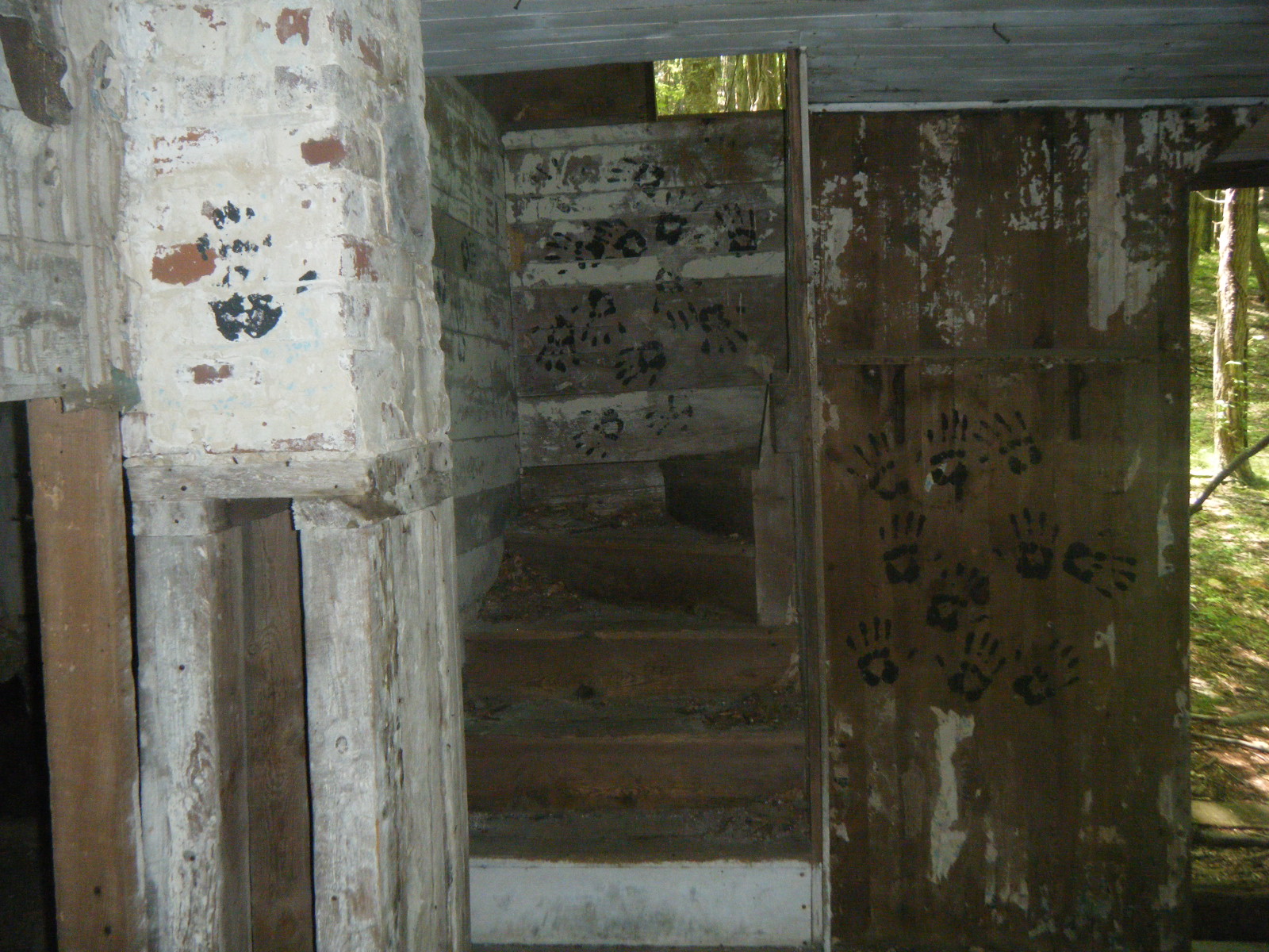
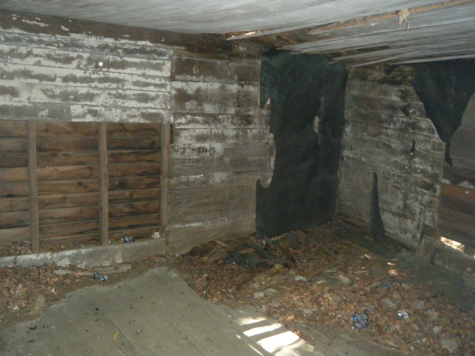
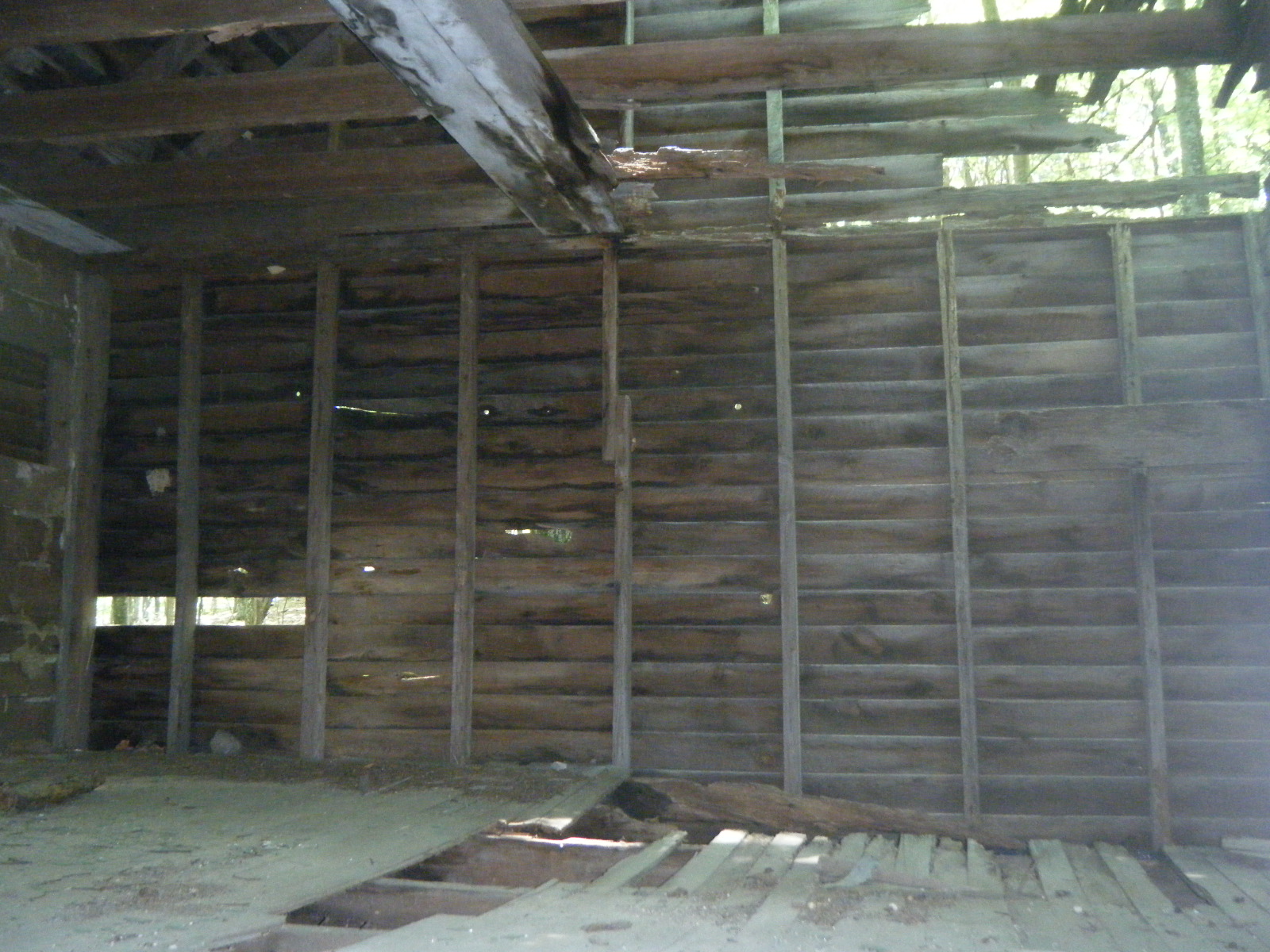
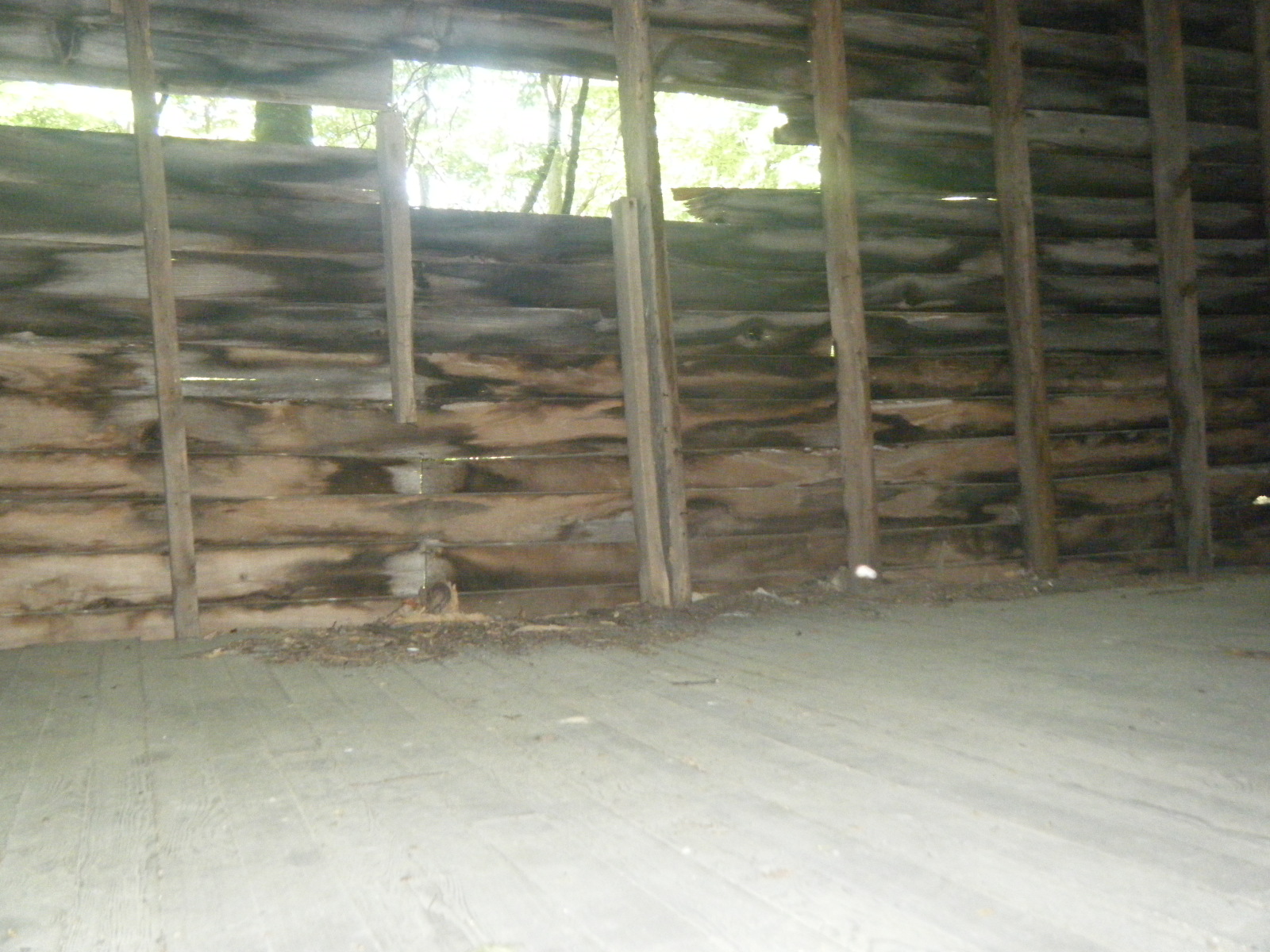
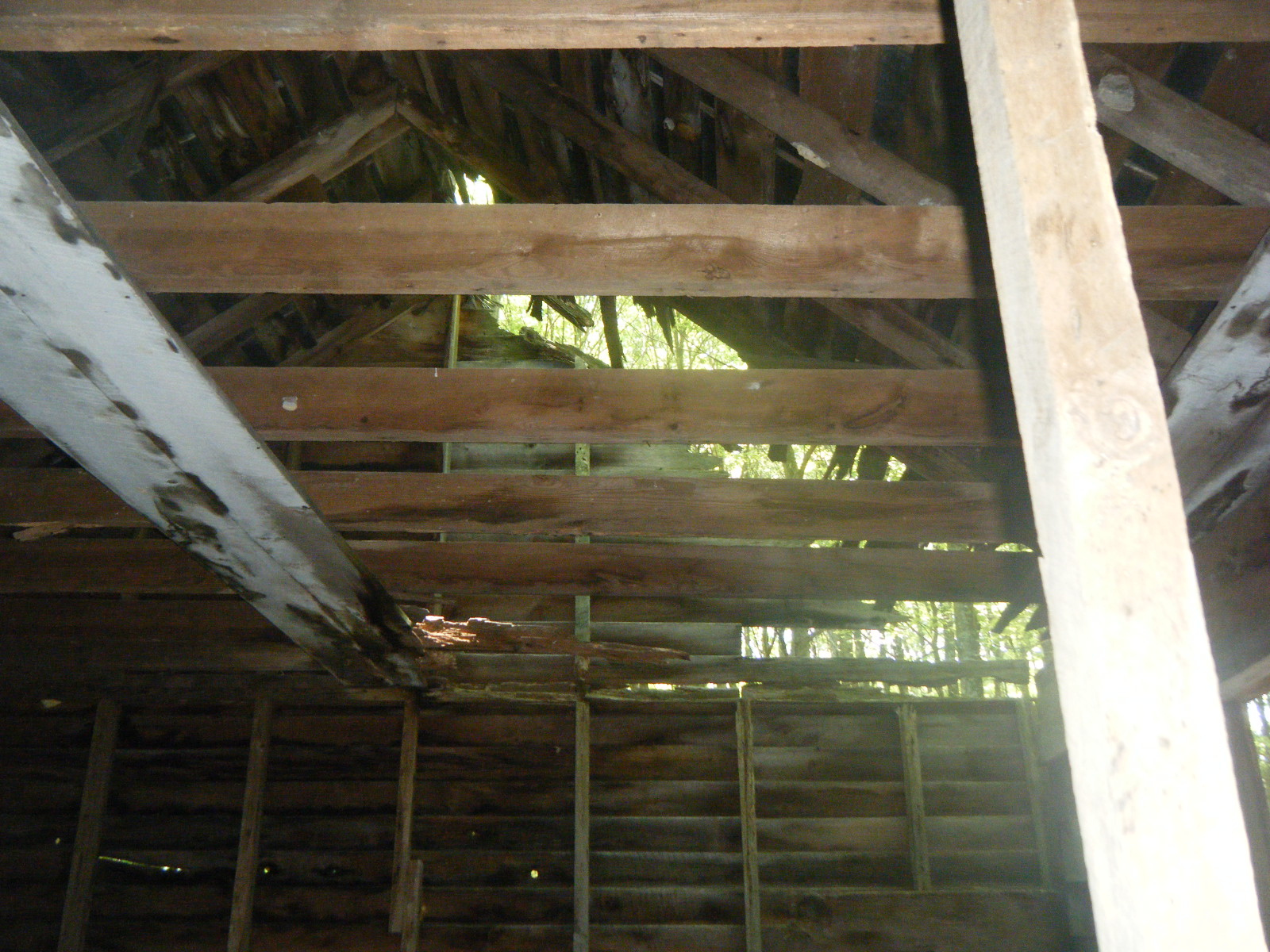
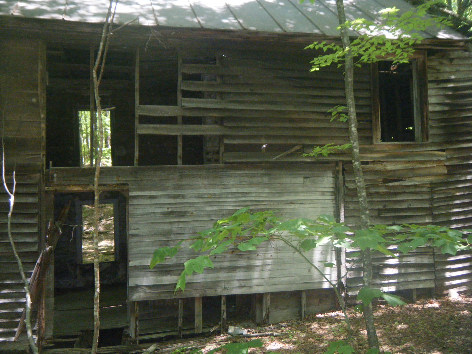
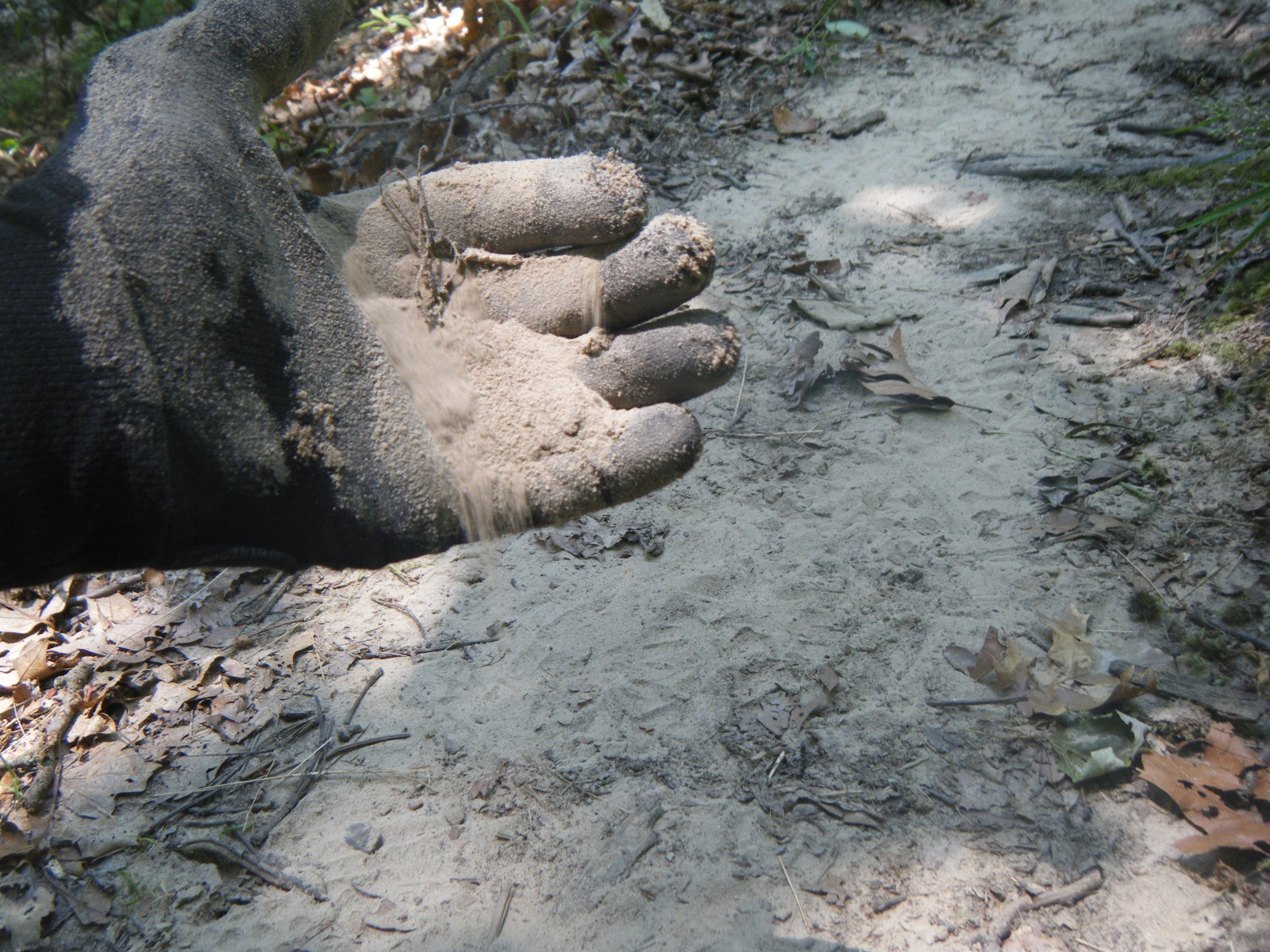
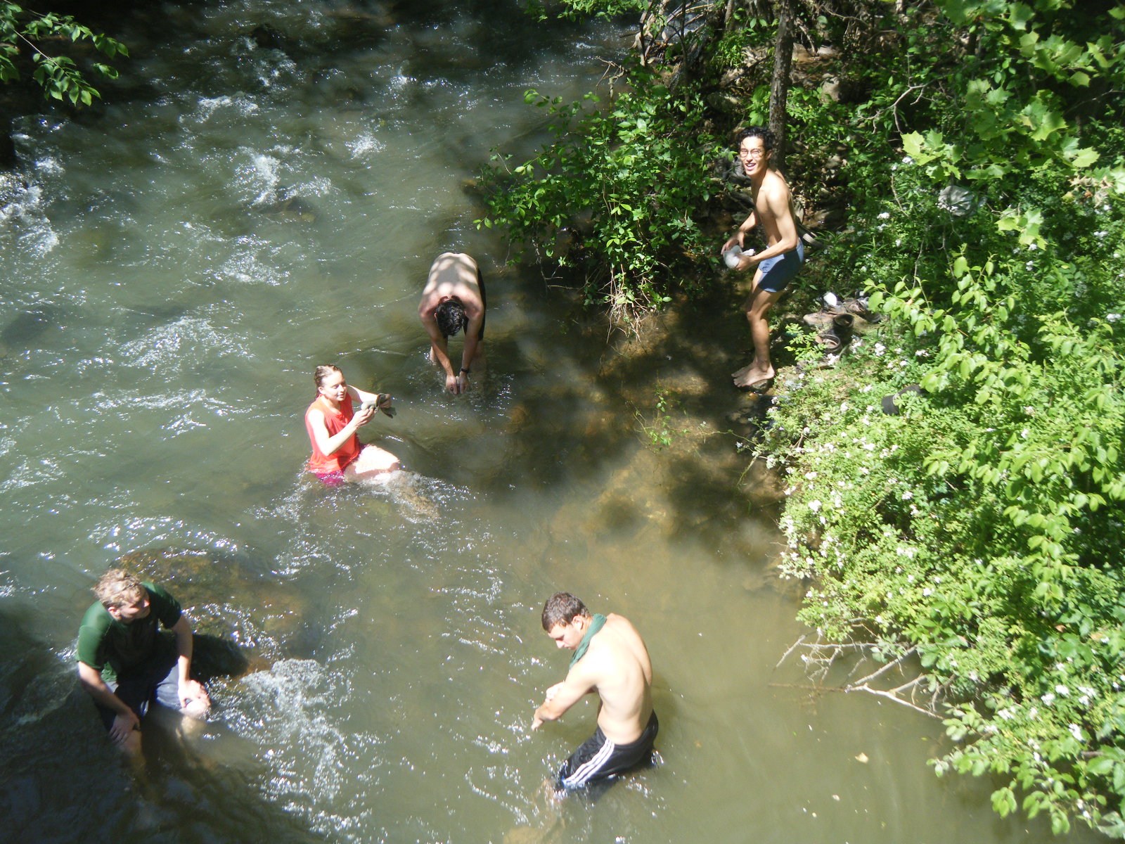
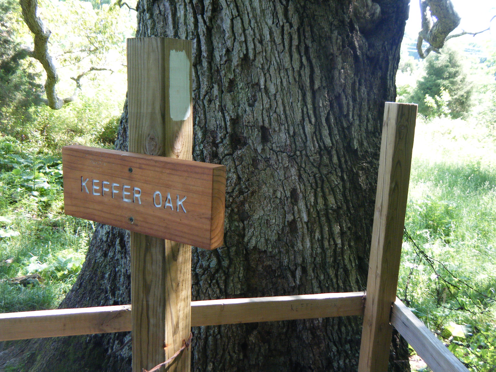
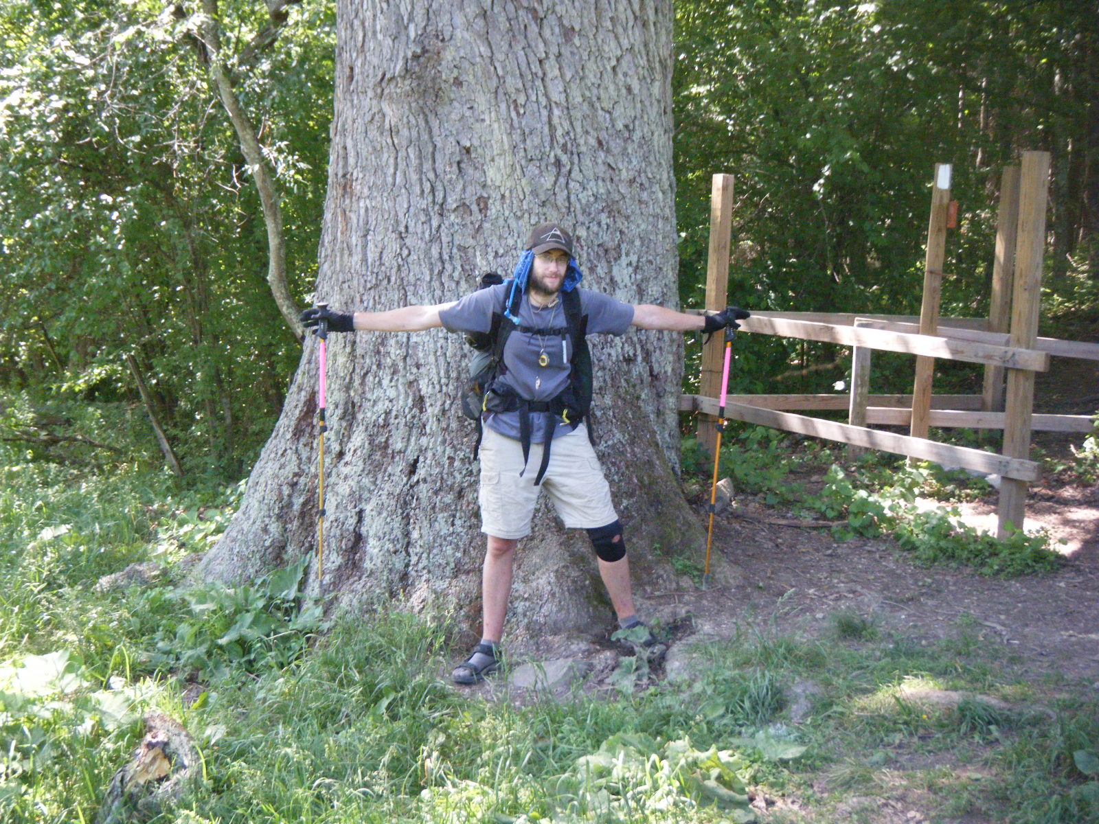
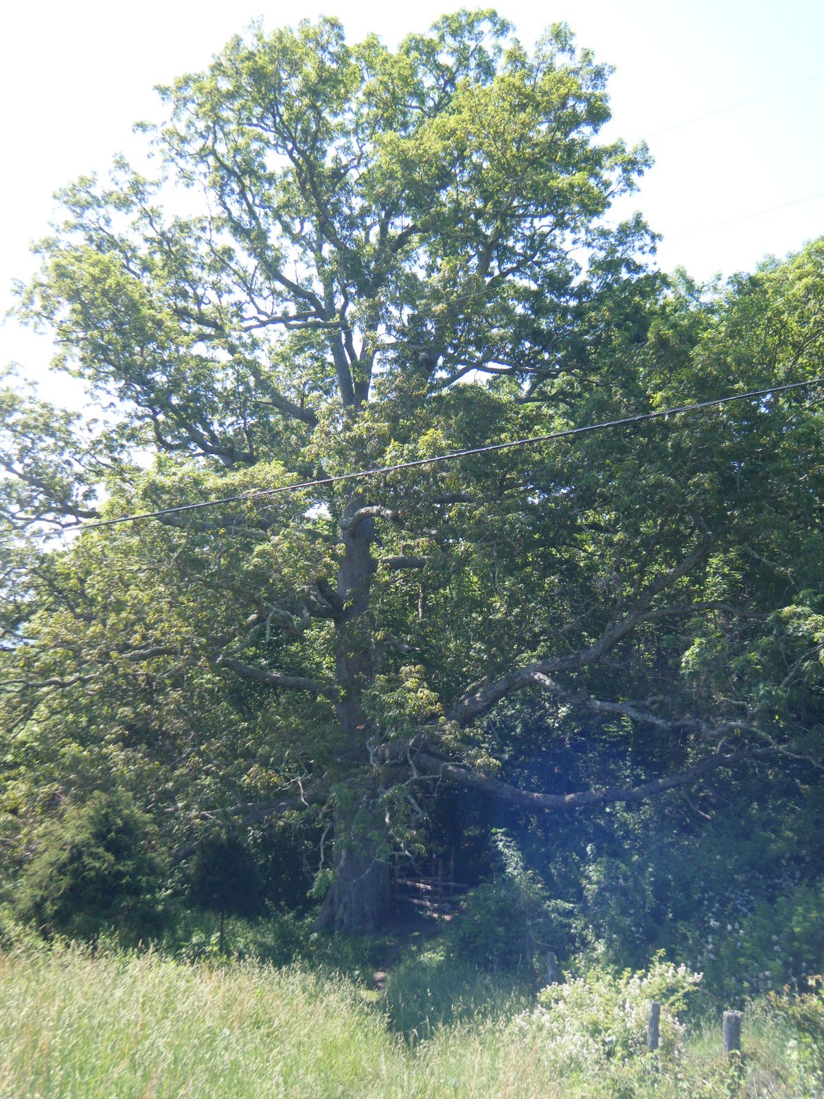
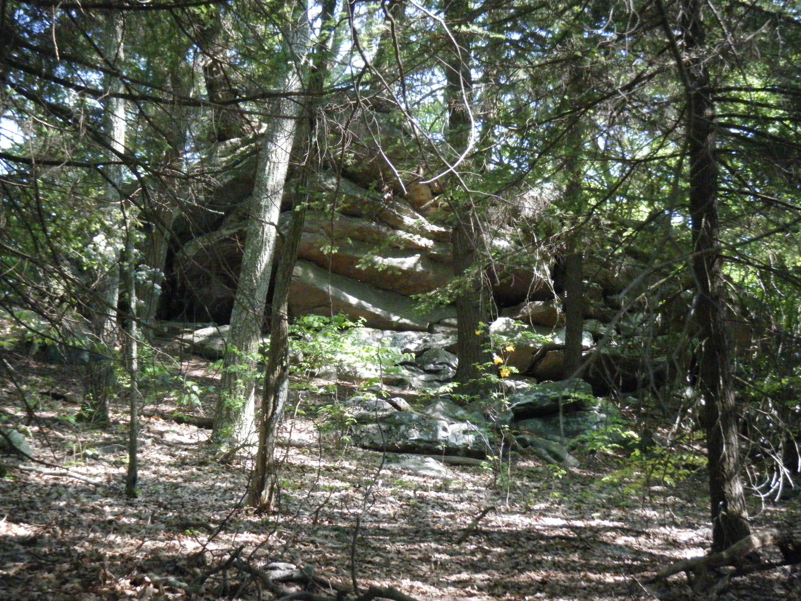
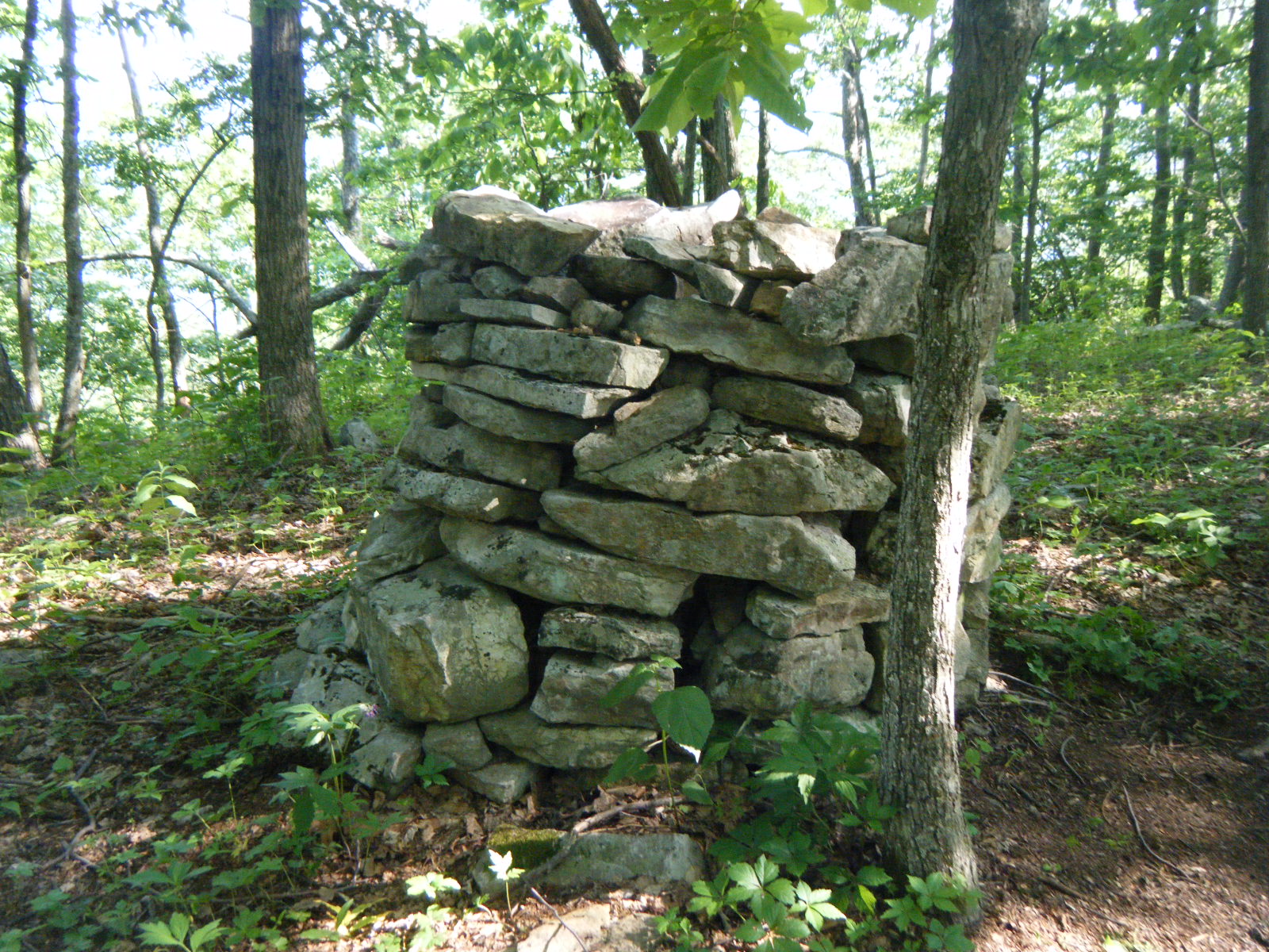
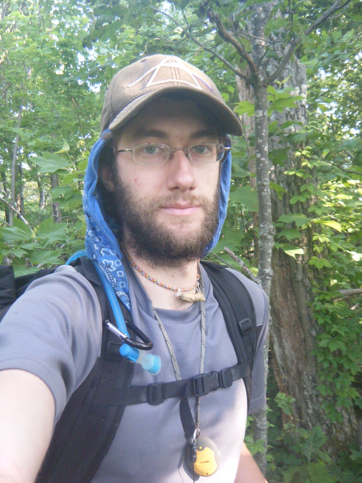
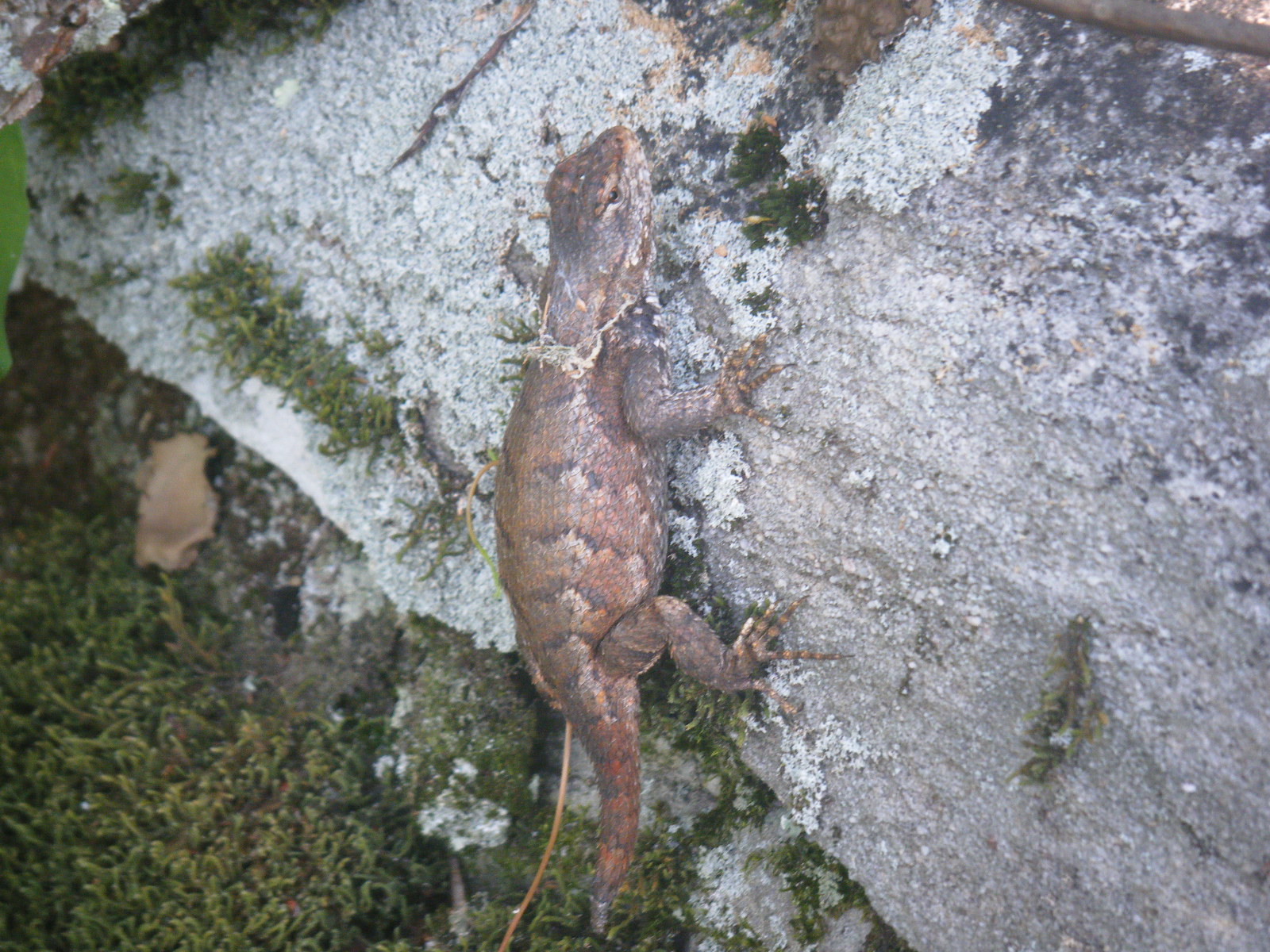
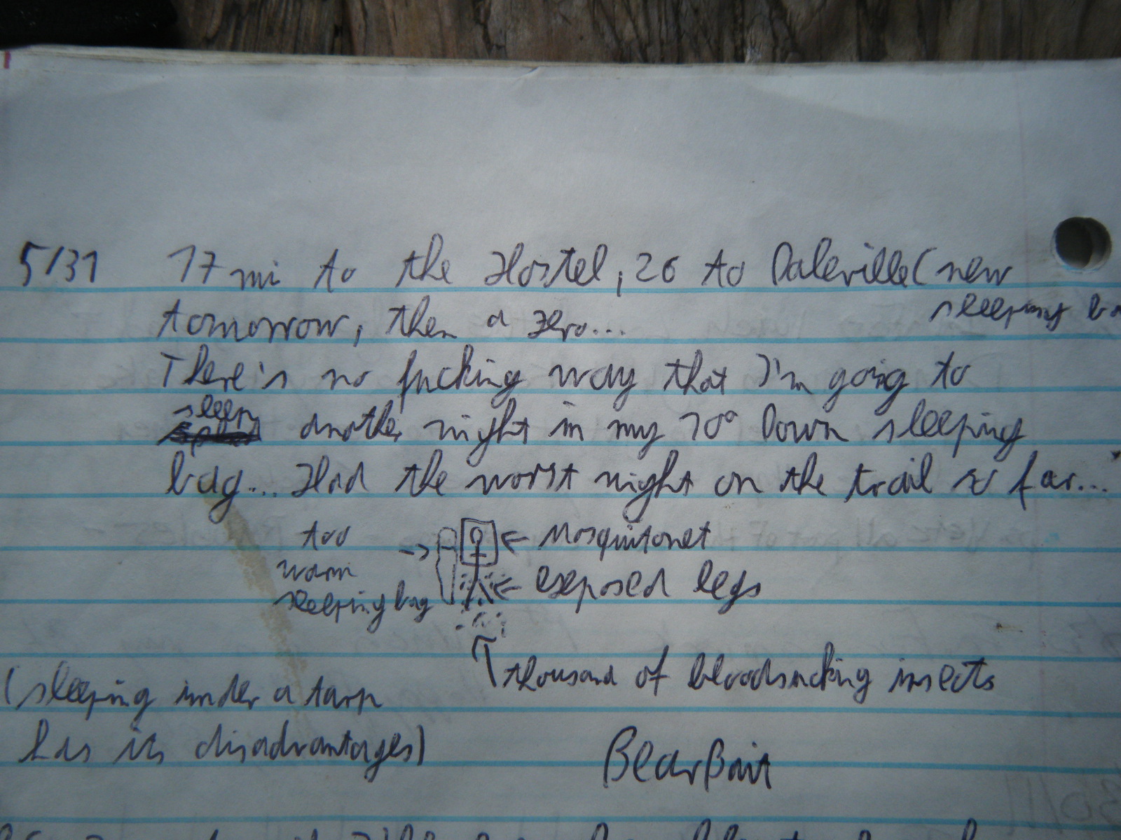
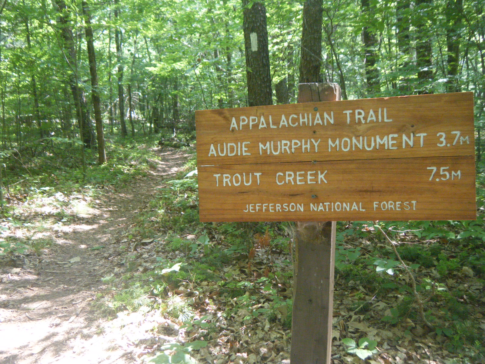
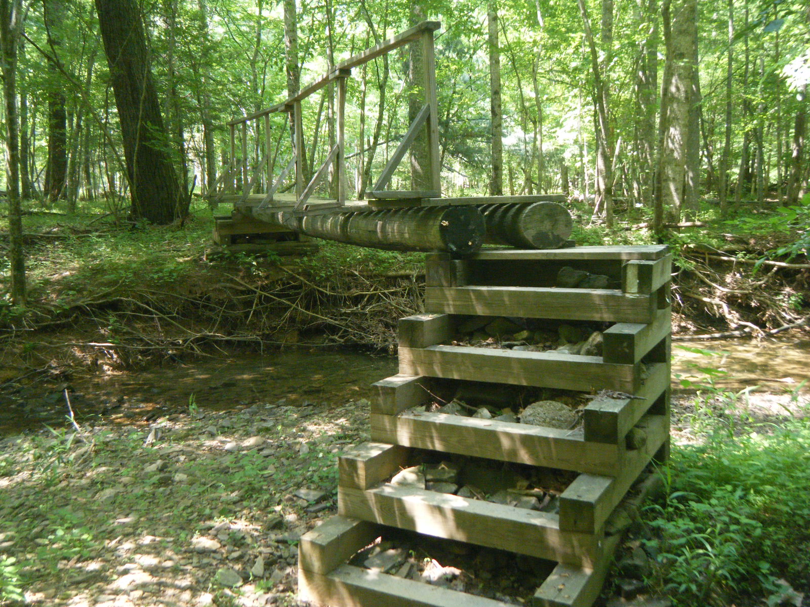
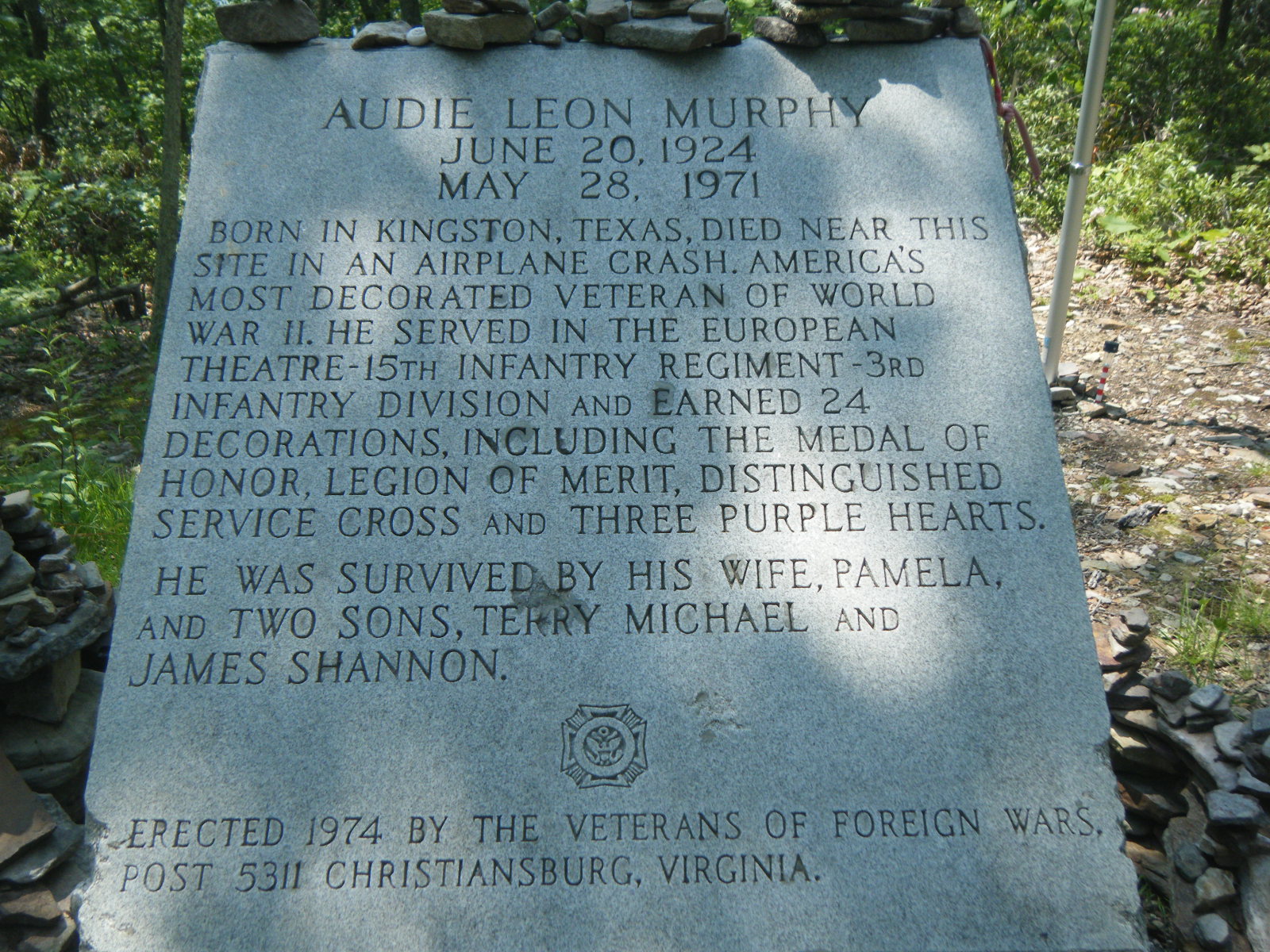
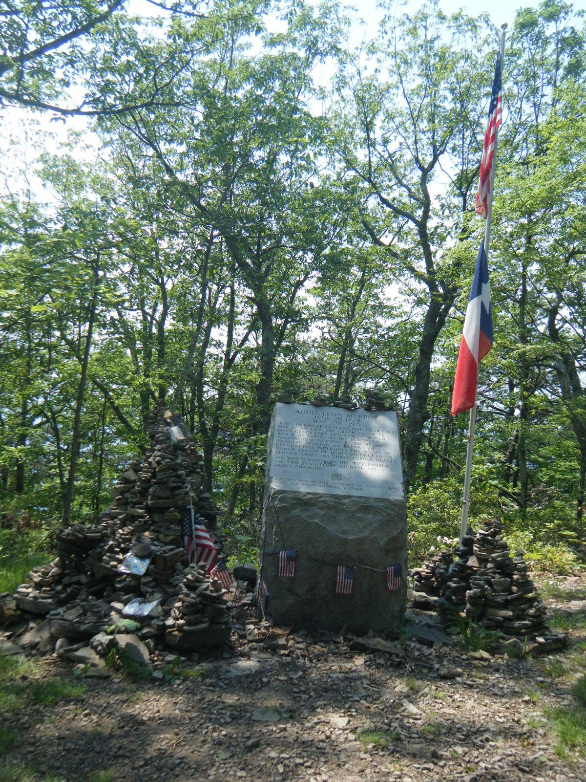
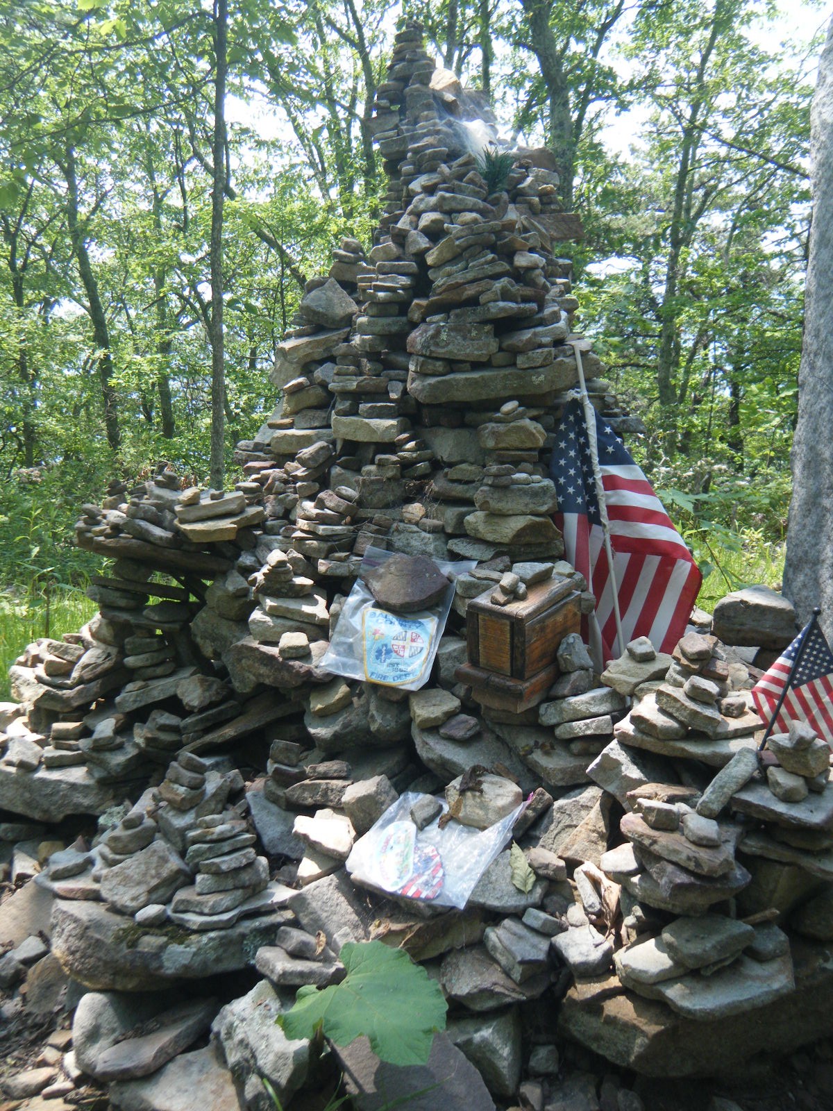
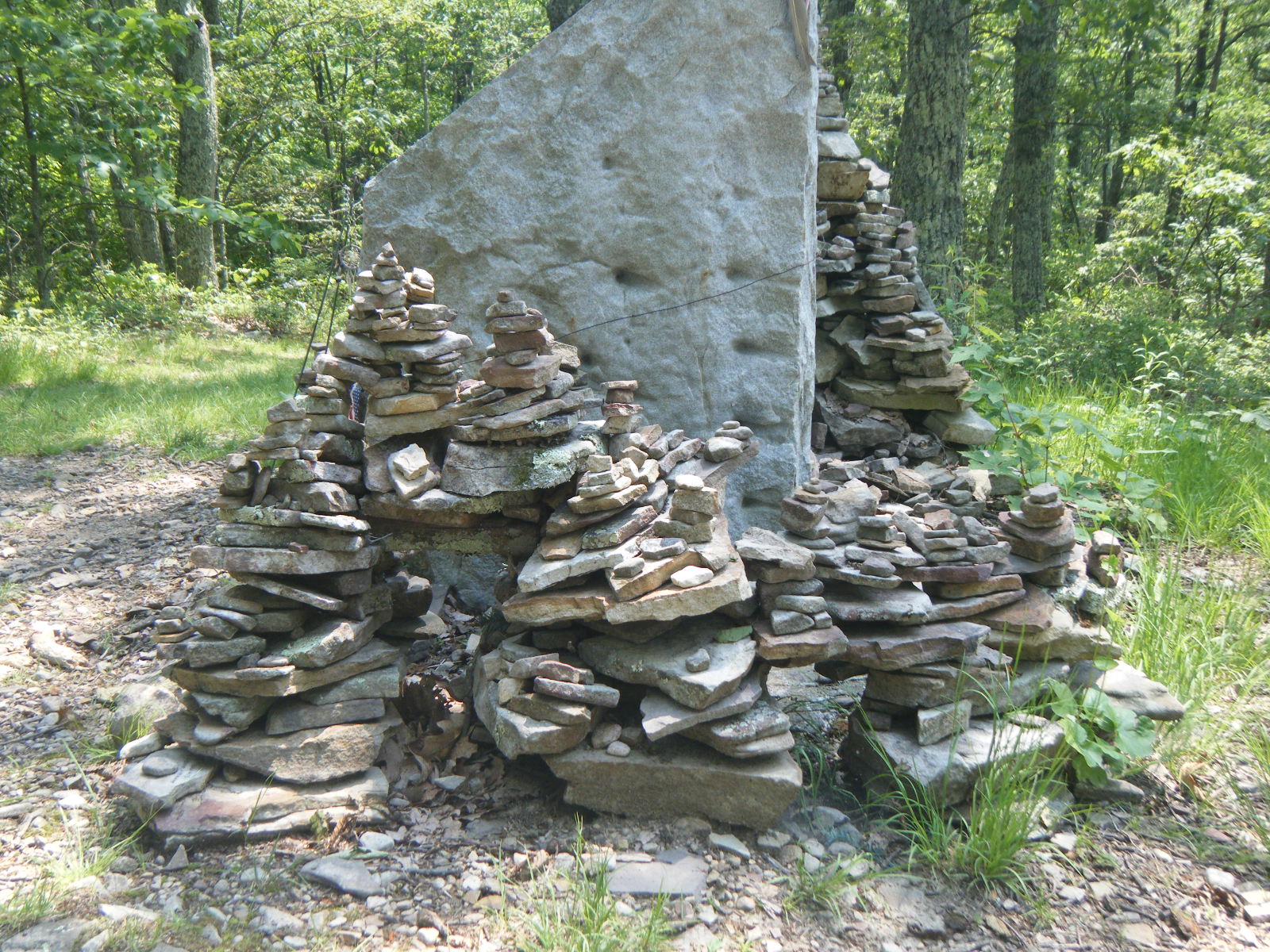
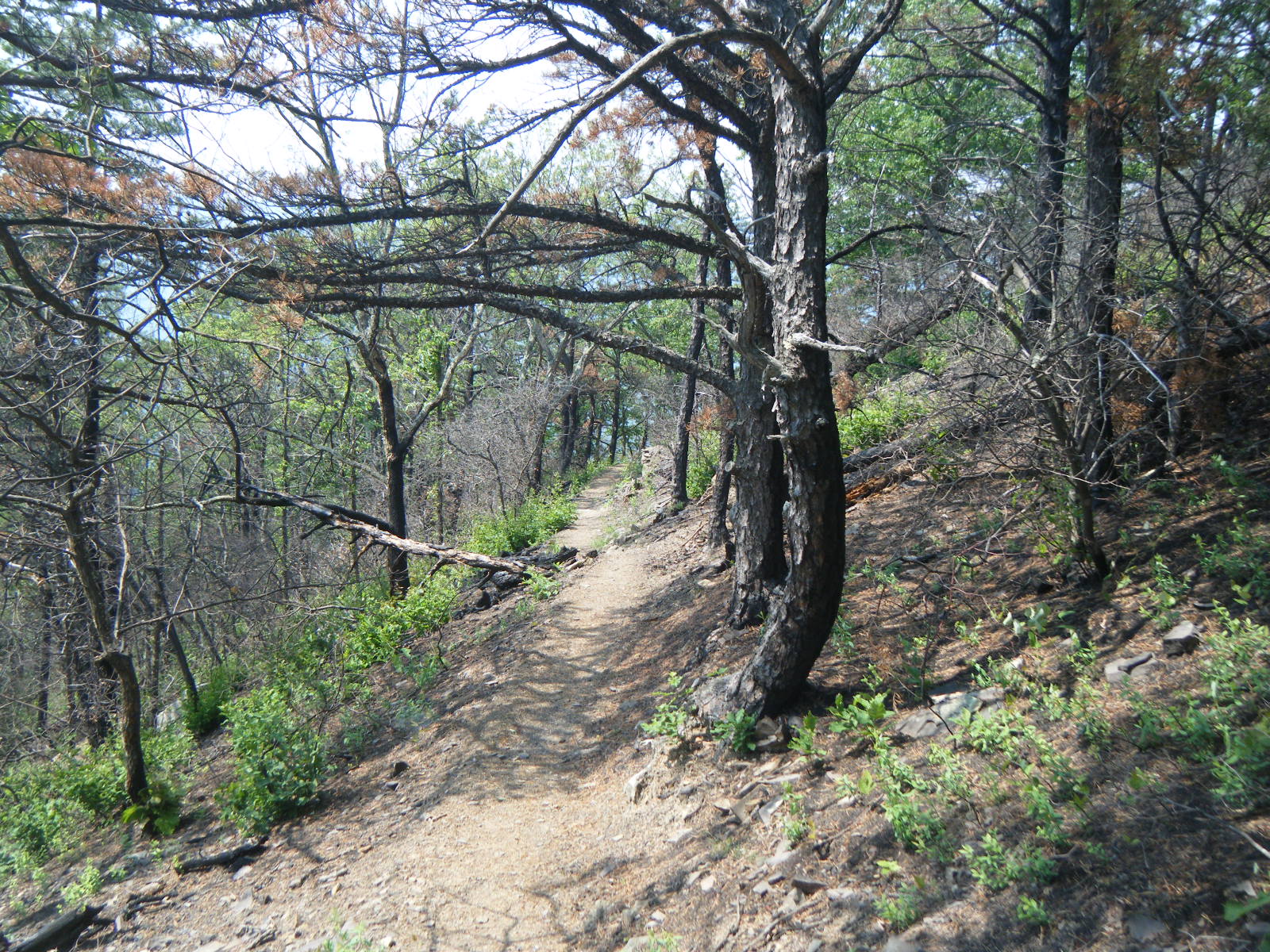
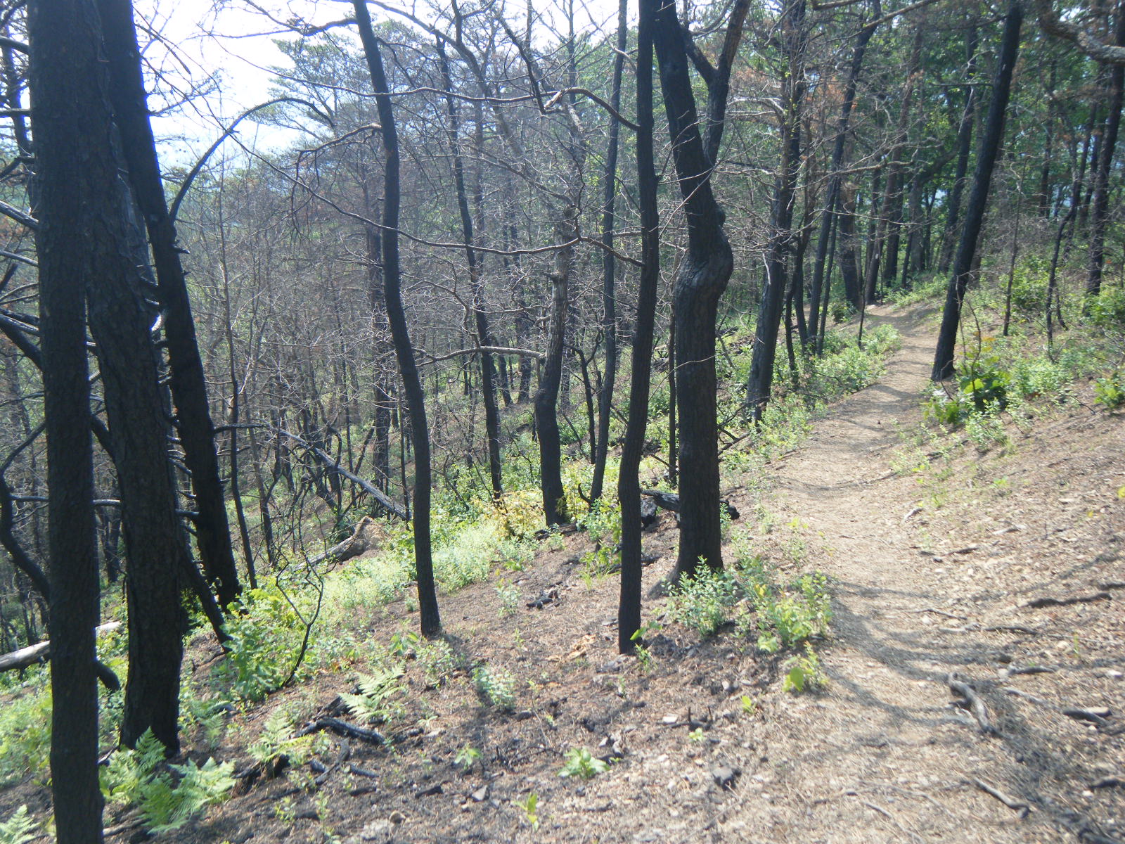
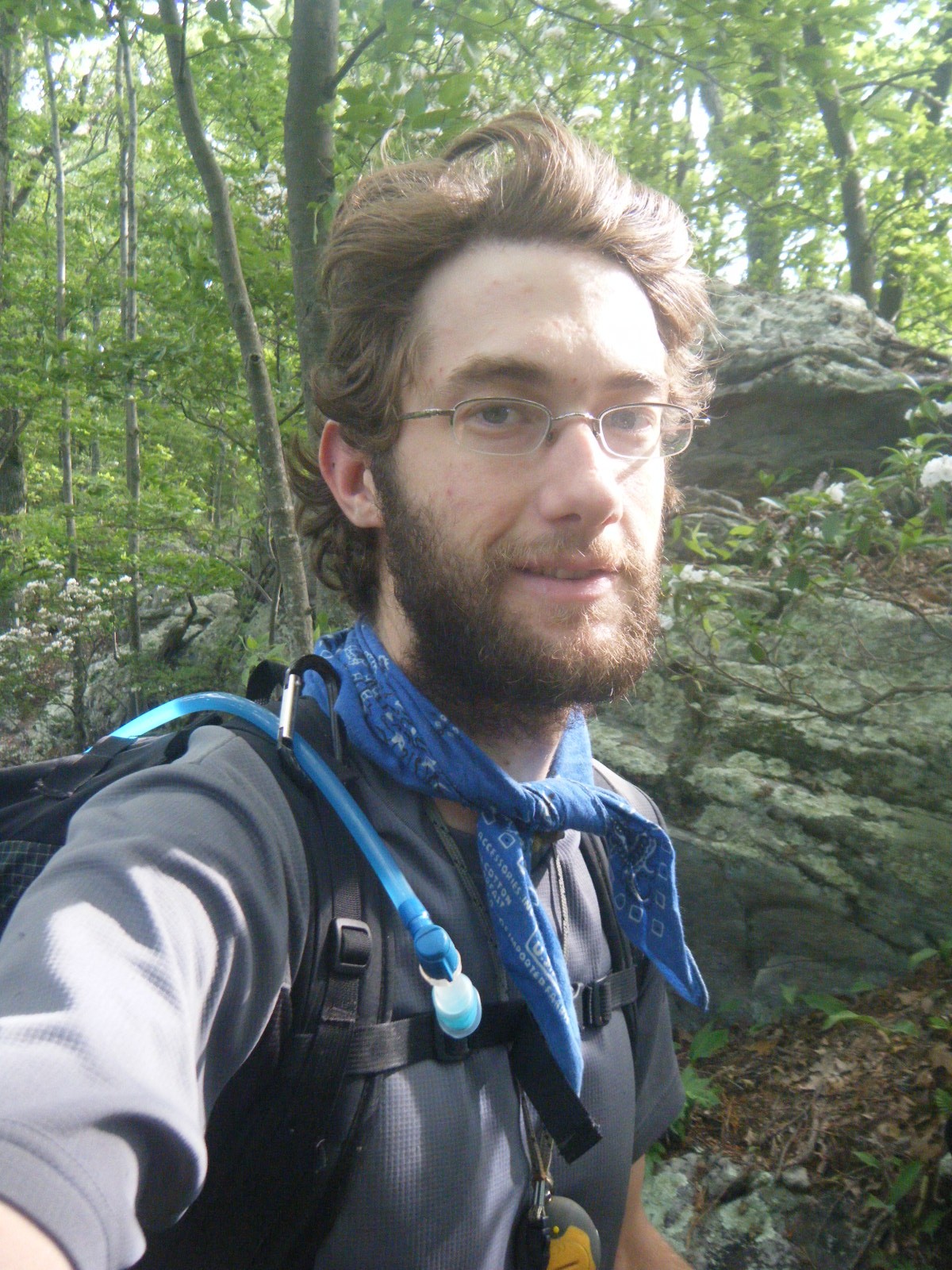
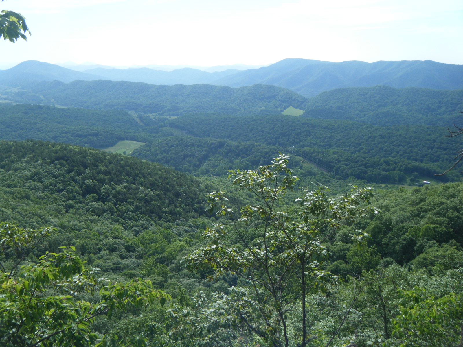
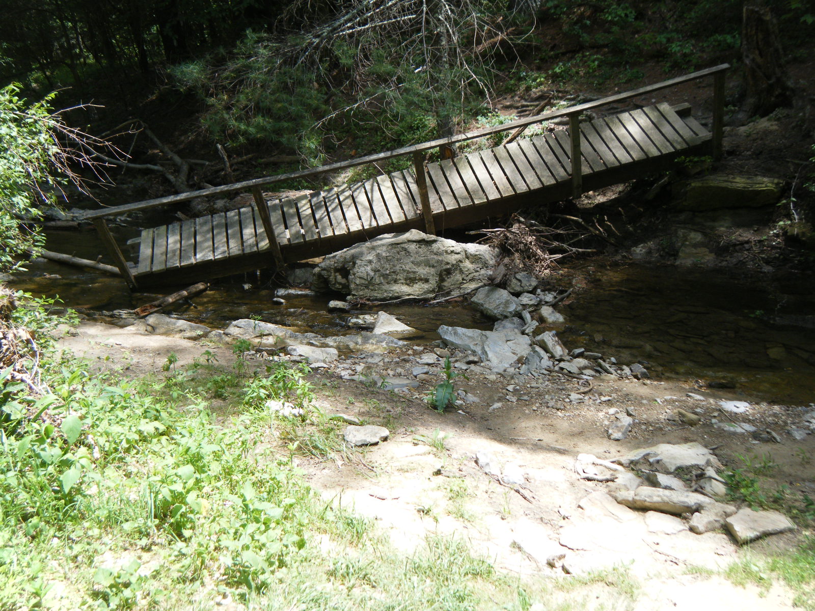
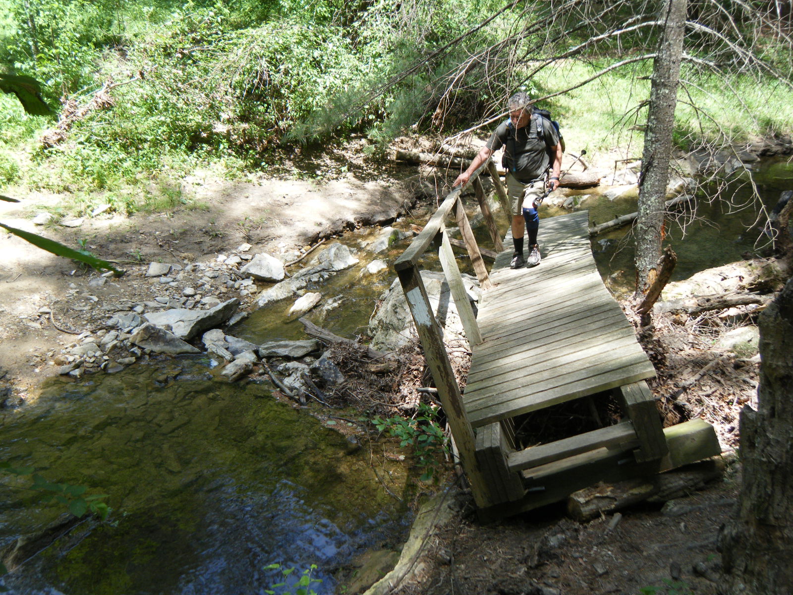
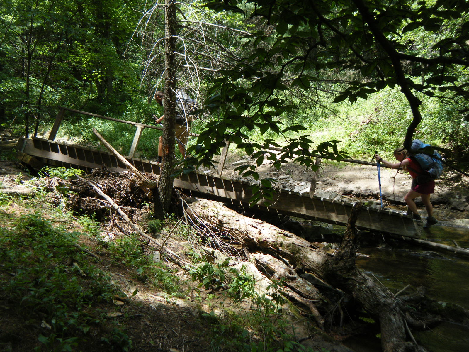
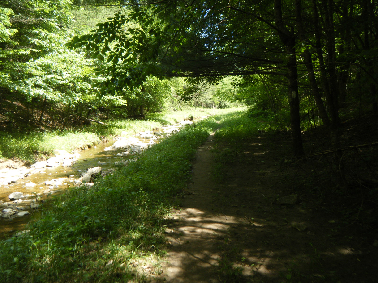
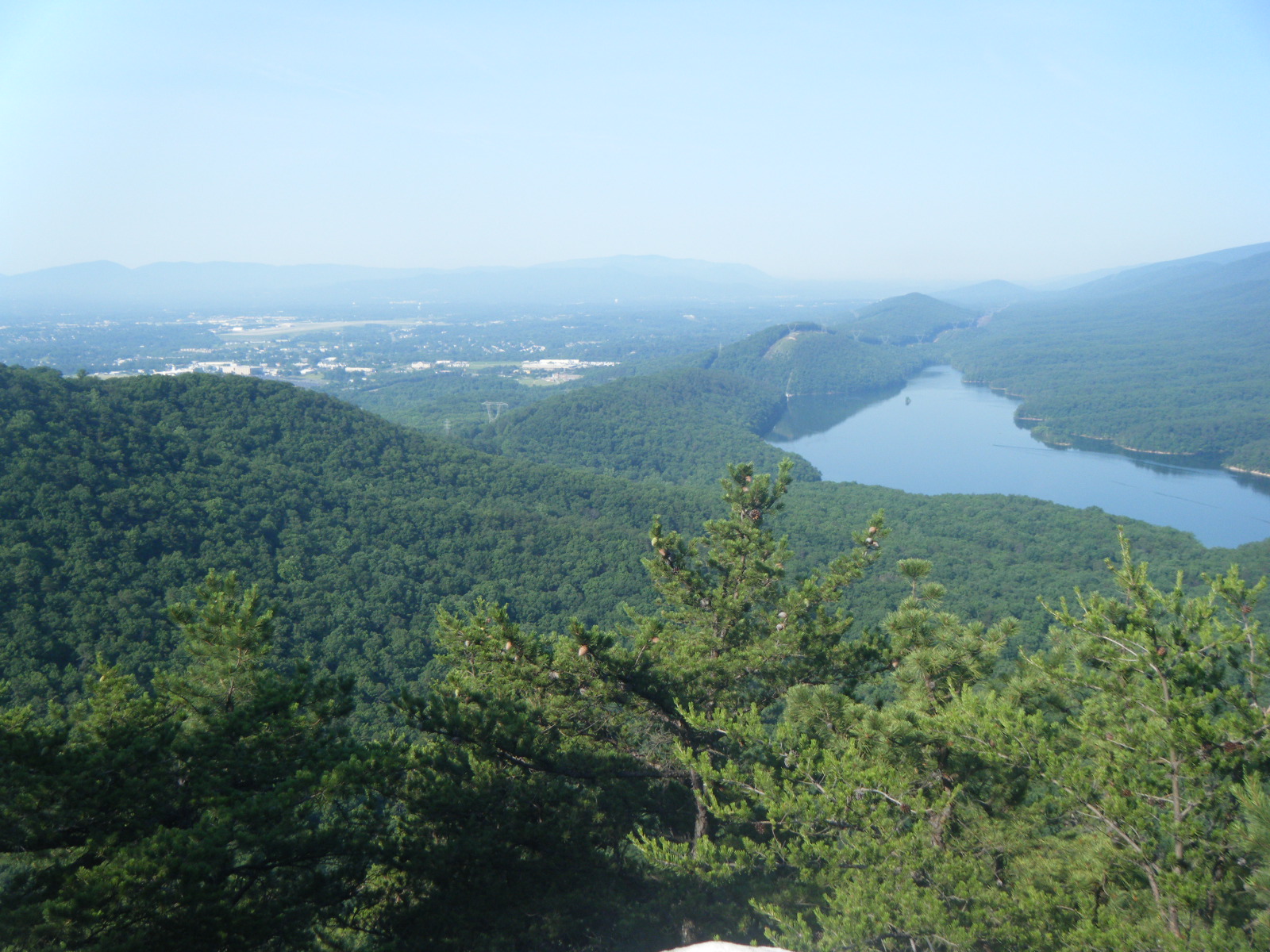
I awoke in the morning (Tuesday May 31) completely covered in insect bites. In fact, I awoke in the middle of the night scratching (literally, I woke up scratching – I was already scratching when I woke up) my arms and legs like a madman. This was the day I decided I was done sleeping in anything sans-bugnet. After waking I gathered fresh water, broke my fast, and set off into the heat. The day was another scorcher – my thermometer maxed at 96F. Along the way I saw an amazing campsite in a grove of rhododendron, with a firepit, next to a waterfall running into a pool about the size of a hot tub. I wish I’d slept there the previous night. I stripped to my trunks hoping to cool down a bit, but only waded to my knees because the water was freezing. I did however wet my shirt, hat, and the bandana I’ve been hanging from my hat to keep the bugs out of my ears. I took some pictures of the campsite and moved on. Later that day I passed an abandoned house that was collapsing in a few places. Someone who has obviously seen The Blair Witch Project had fingerpainted black handprints on to the door frame and walls. I took pictures of the outside, inside, and even upstairs, though I wasn’t nearly brazen enough to walk on the upper floors – I just stood on the lower steps. After the abandoned house I was expecting to encounter a footbridge over a stream, followed by a long dry stretch. I then encountered a footbridge over a murky stream, amidst a field of livestock. I reluctantly filled 2 liters of water. While walking away from the bridge I walked through a few very muddy areas that smelled suspiciously of livestock feces, which made me wonder what exactly caused the stream to become murky. Shortly afterward the trail followed a gravel road across a bridge over a large stream. I happily dumped the poo water and refilled from the stream, stopping for awhile to get wet with my friends who had also stopped to cool off in the stream. We then climbed a very steep mountain in very hot, muggy weather, and after oogling the giant Keefer Oak (16 feet around) and the views from Kelly Knob, we eventually came to our Sarver Hollow Shelter after 12.2 miles total. Actually, we came to the side trail to Sarver Hollow Shelter – the shelter was down a 0.4-mile switchbacked trail down the mountain into a valley. I took the trail to the shelter and met a group of hikers from the Sierra Club who shared their food with us, I ate dinner, and I filled my water (another 0.2 miles from the shelter). I then decided I’d do anything to avoid another hot, muggy, buggy night, and climbed the 0.4 back to the top of the ridge and hiked a couple miles further until I encountered Gumby camped out on the ridge, so I set up my tent nearby. The night was wonderful on the ridge with a breeze, behind bugnet. Gumby was sleeping on the ground under a sil-nylon tarp (just a rain-proof roof).
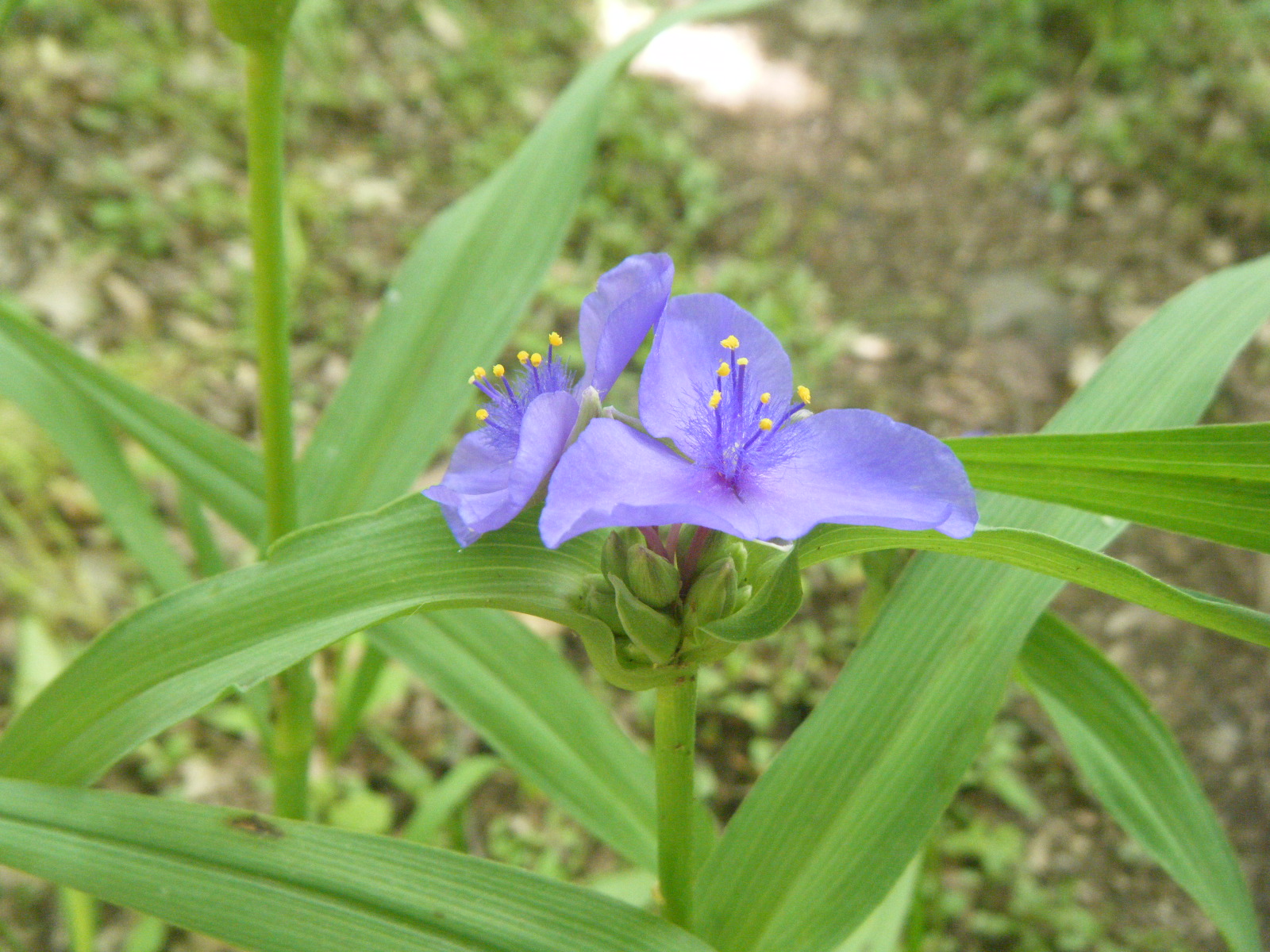
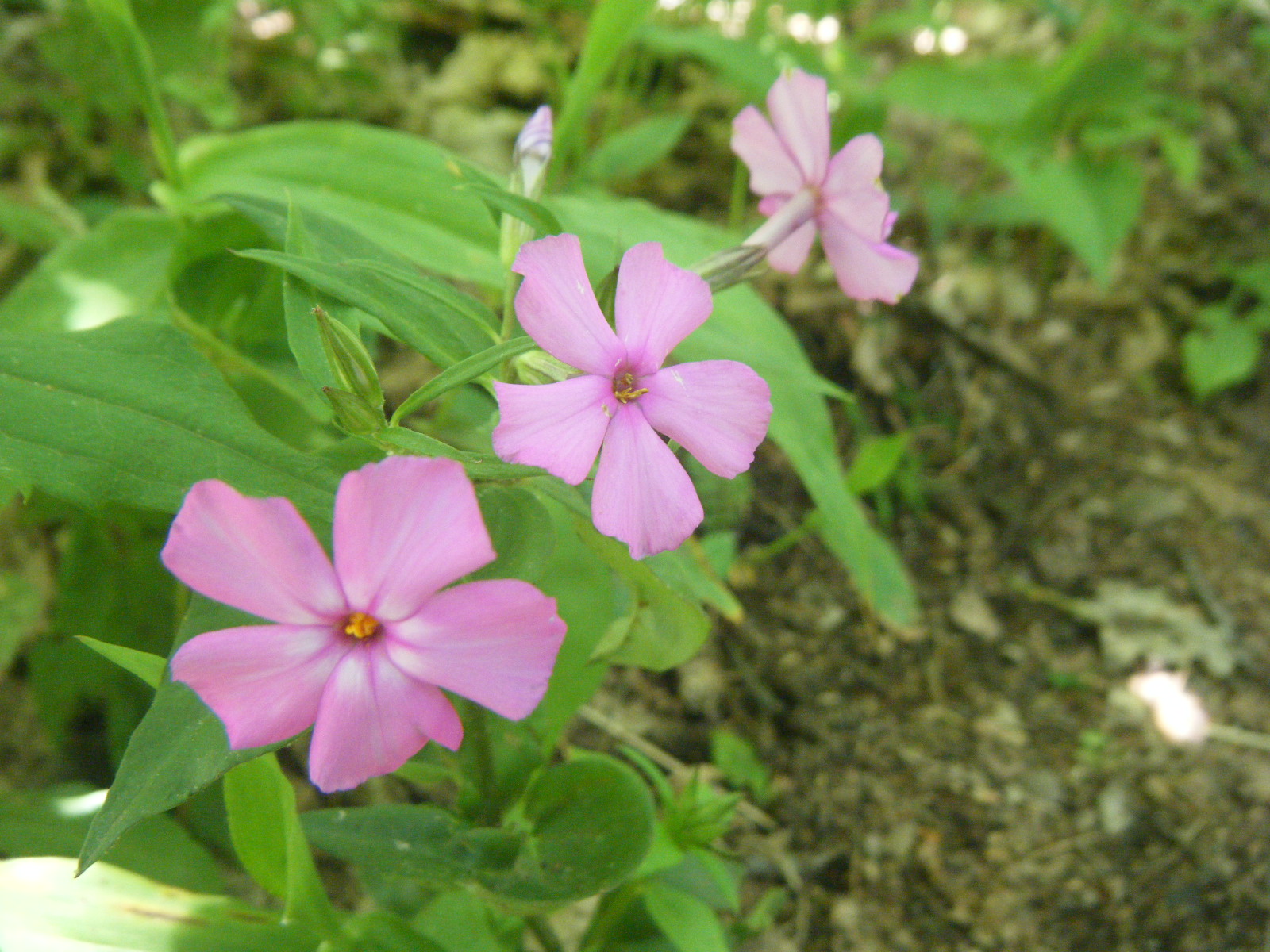
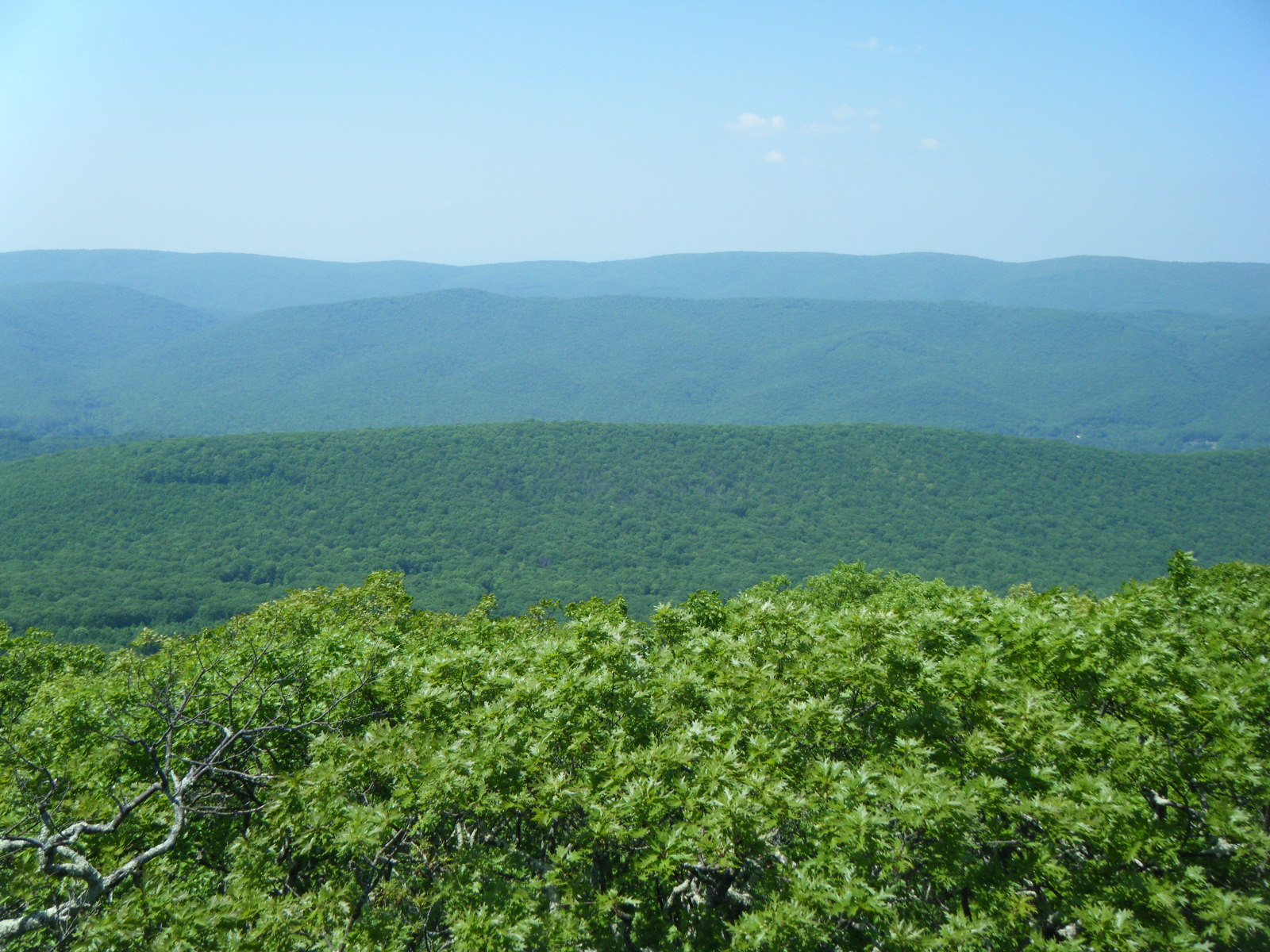
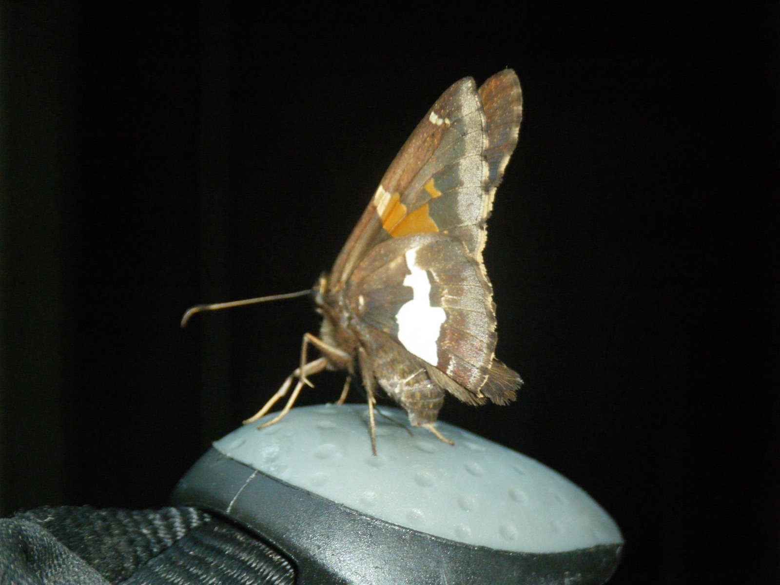
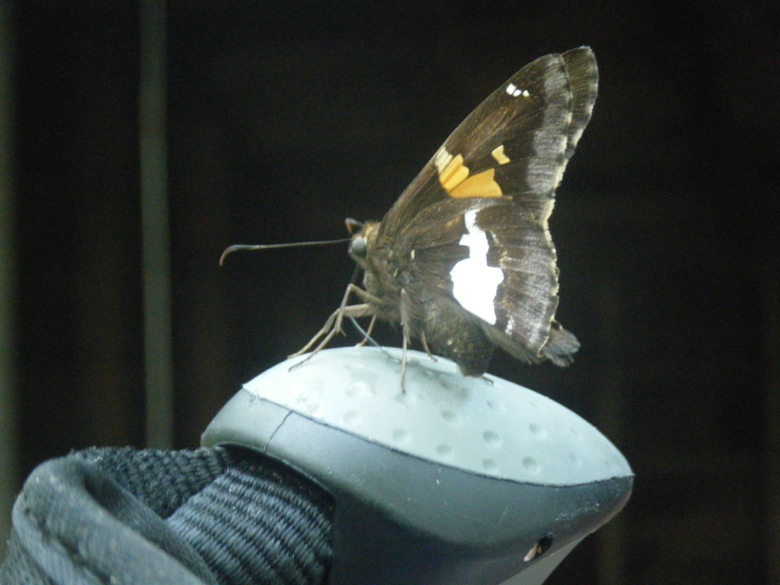
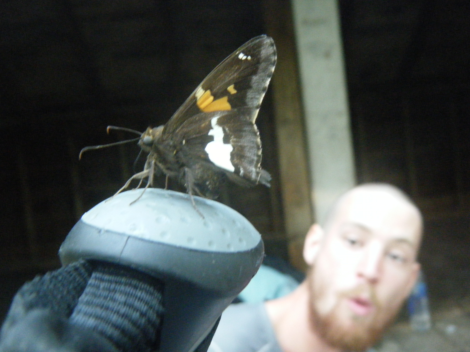
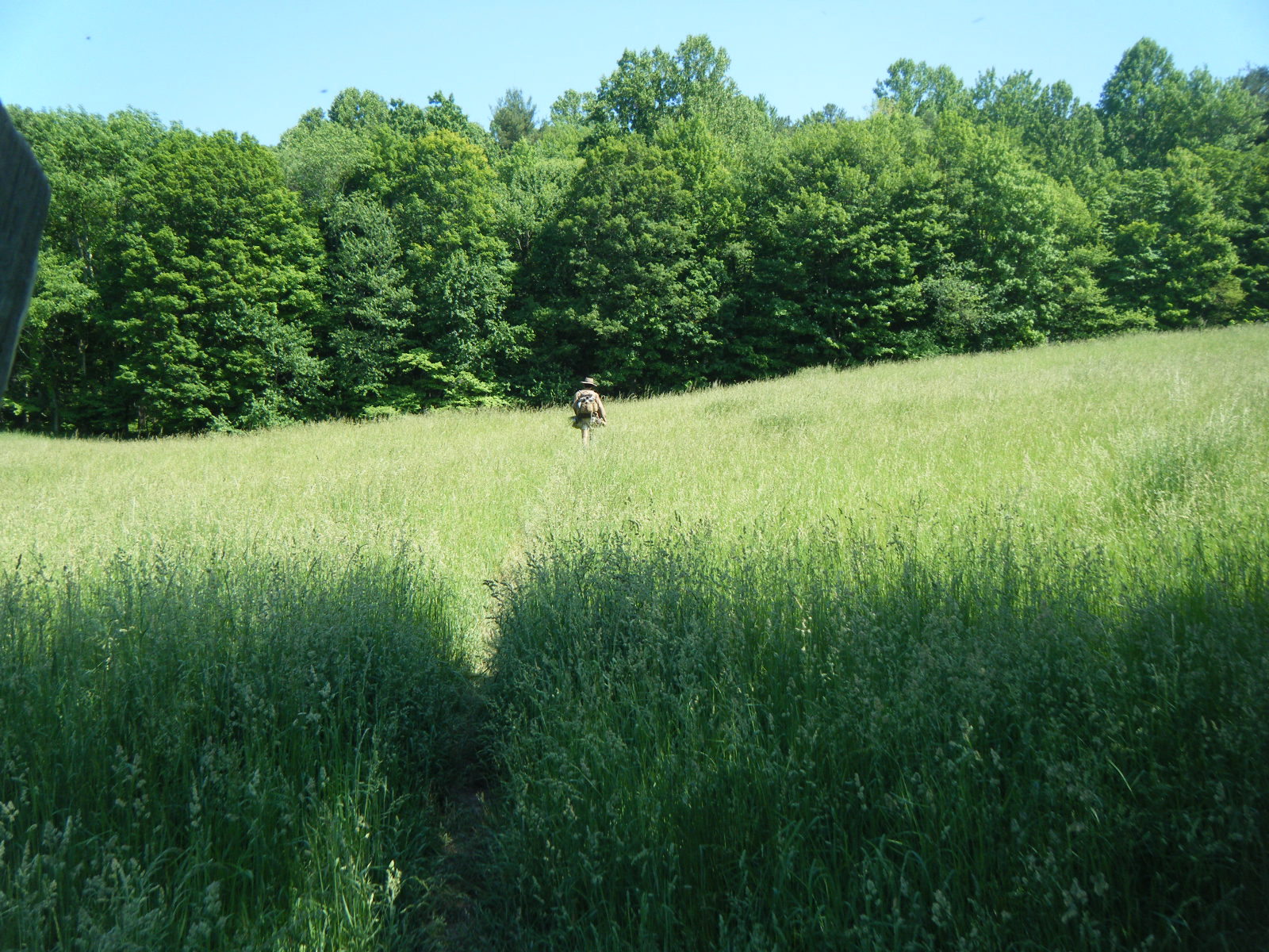
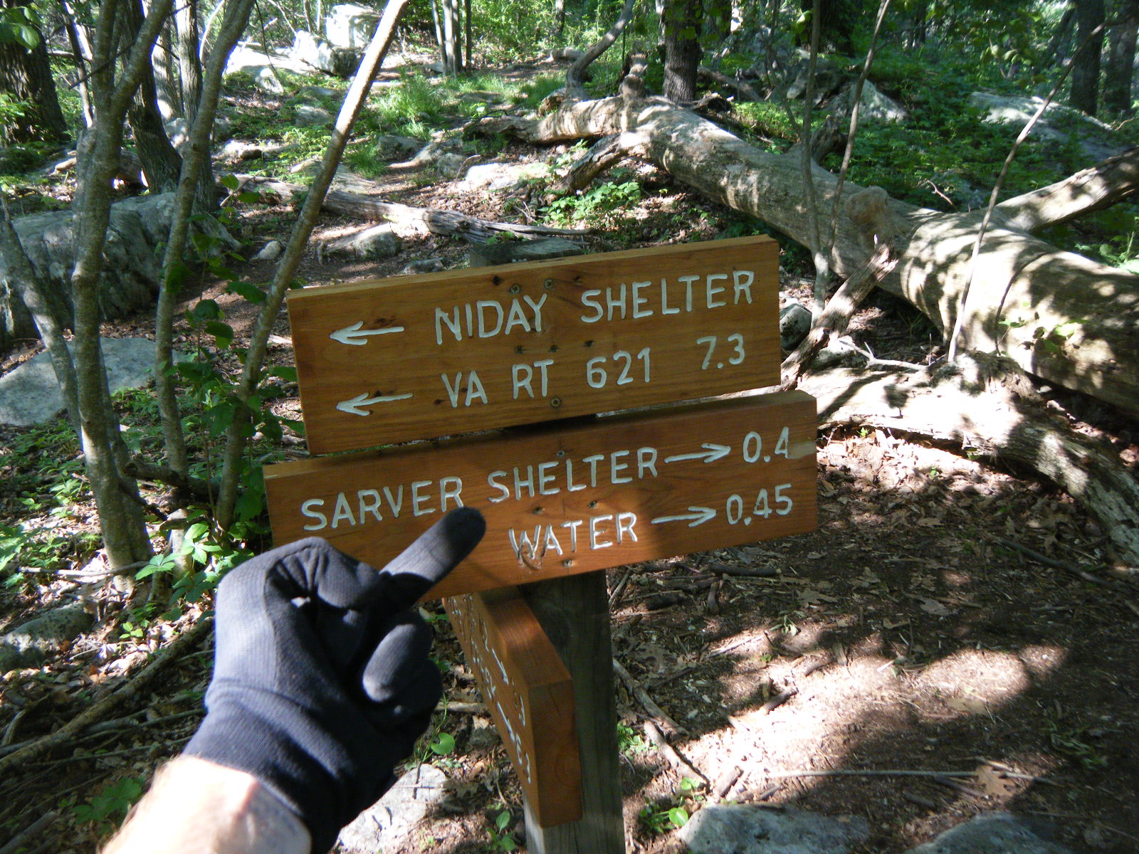
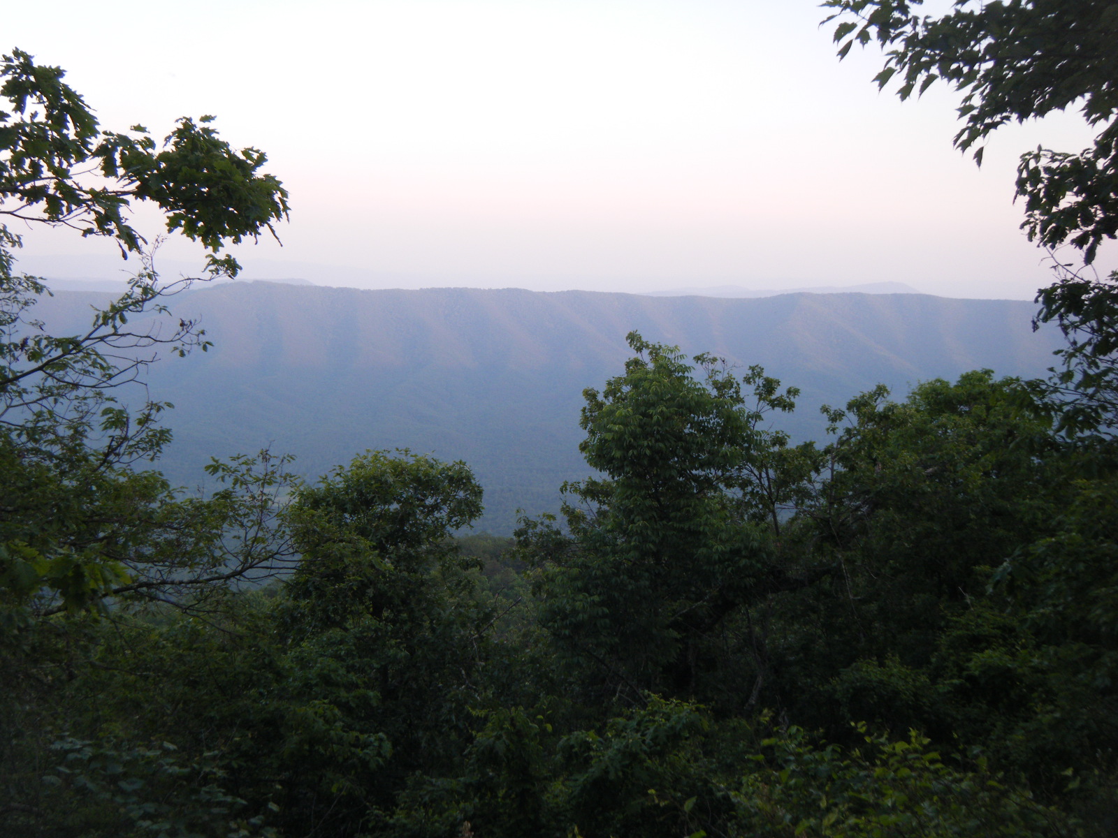
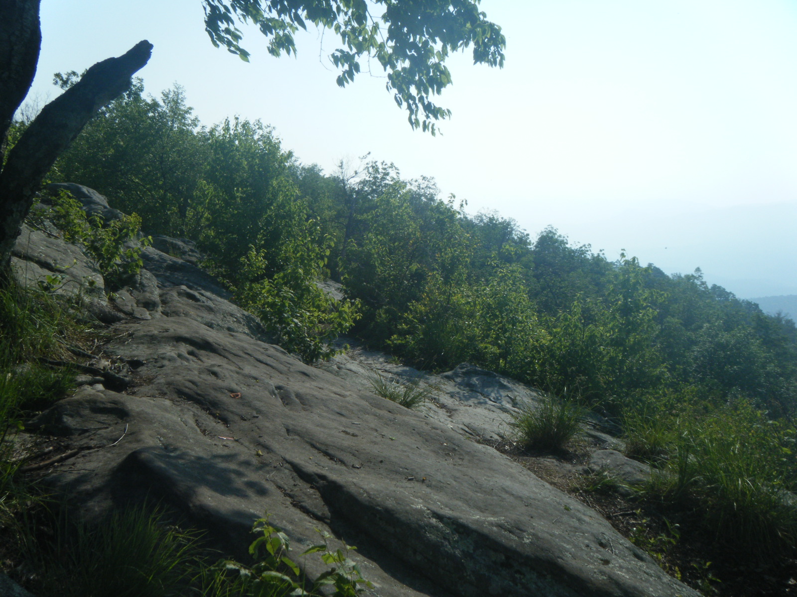
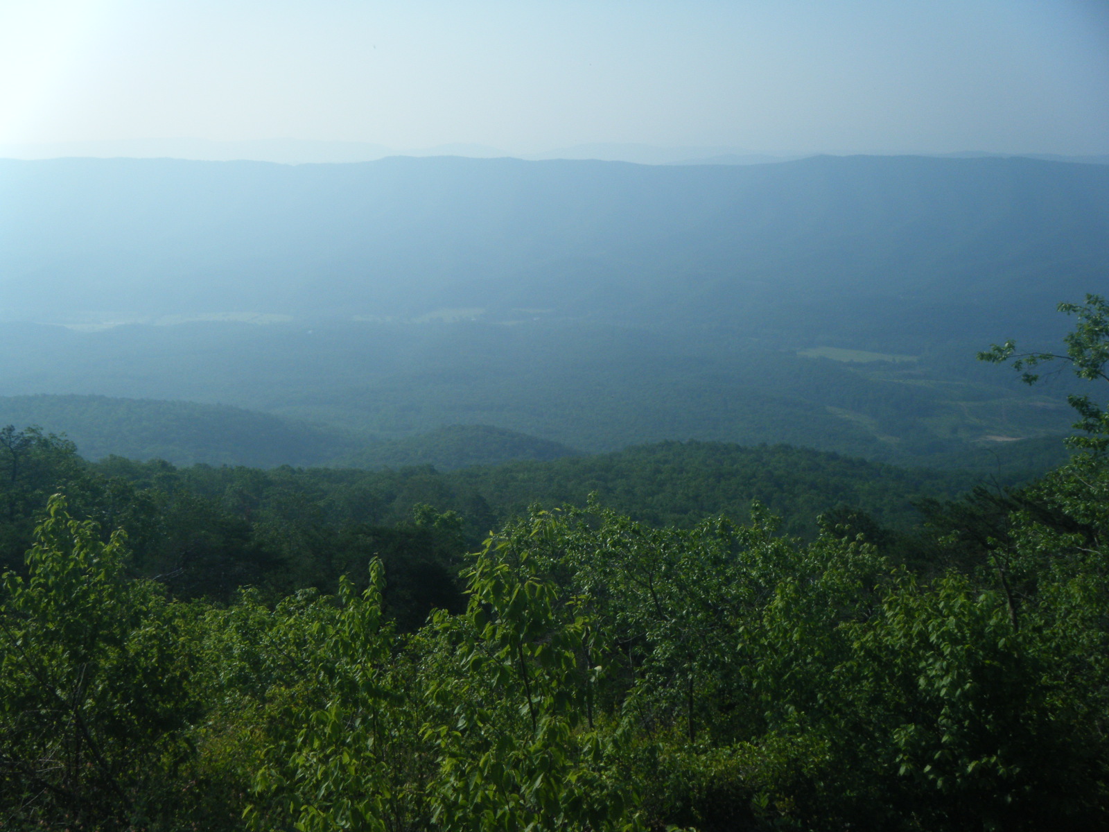
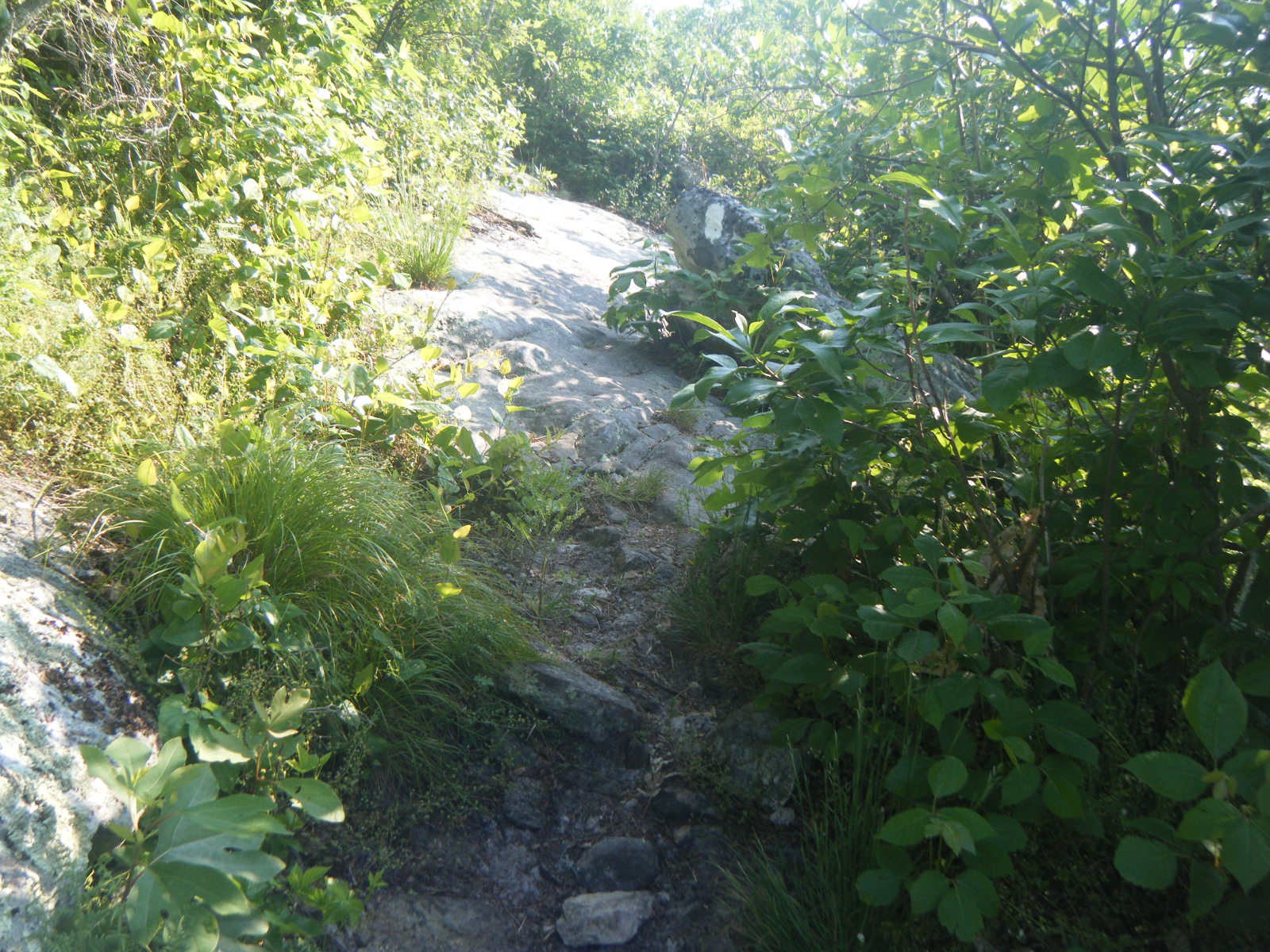
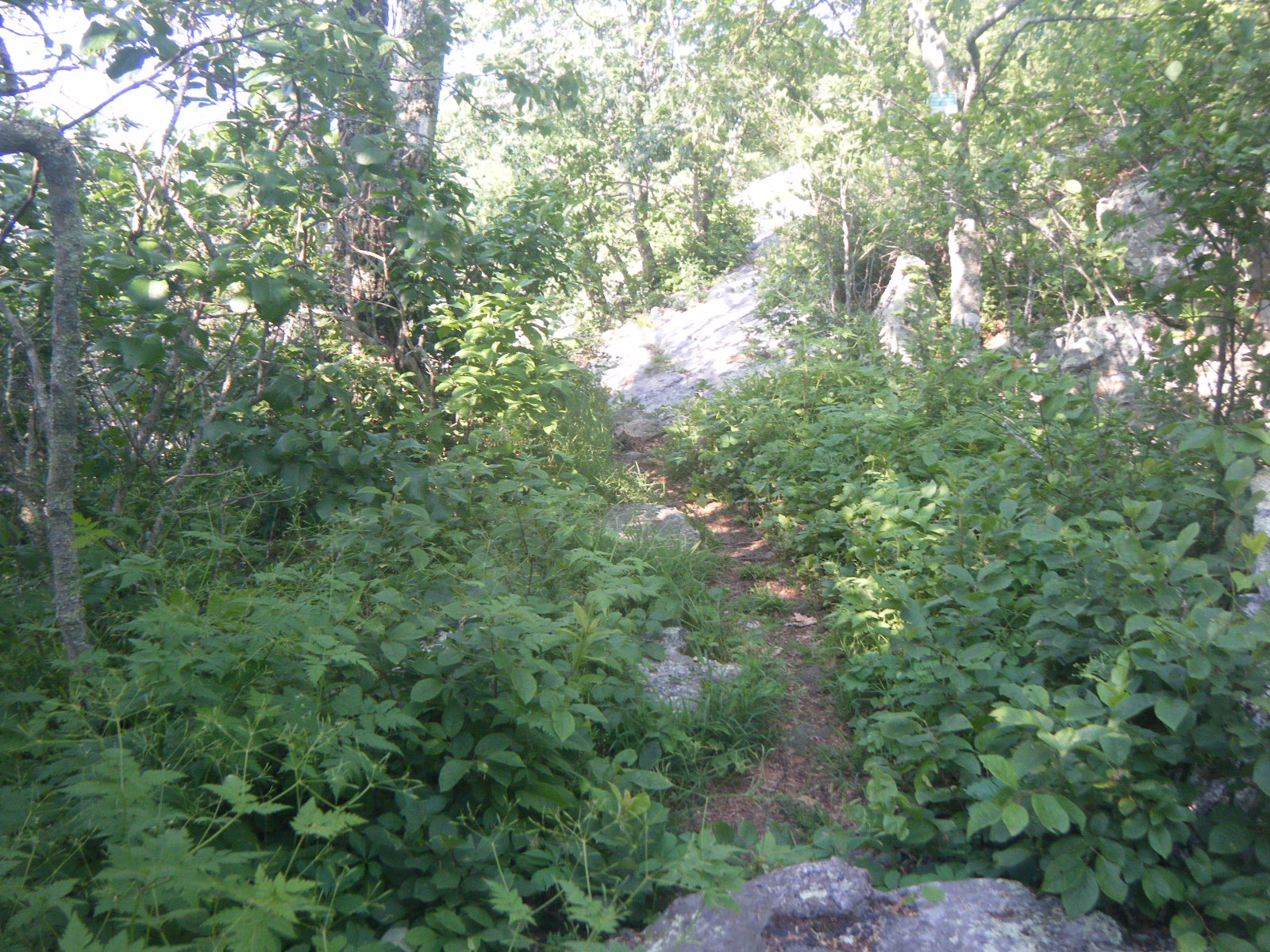
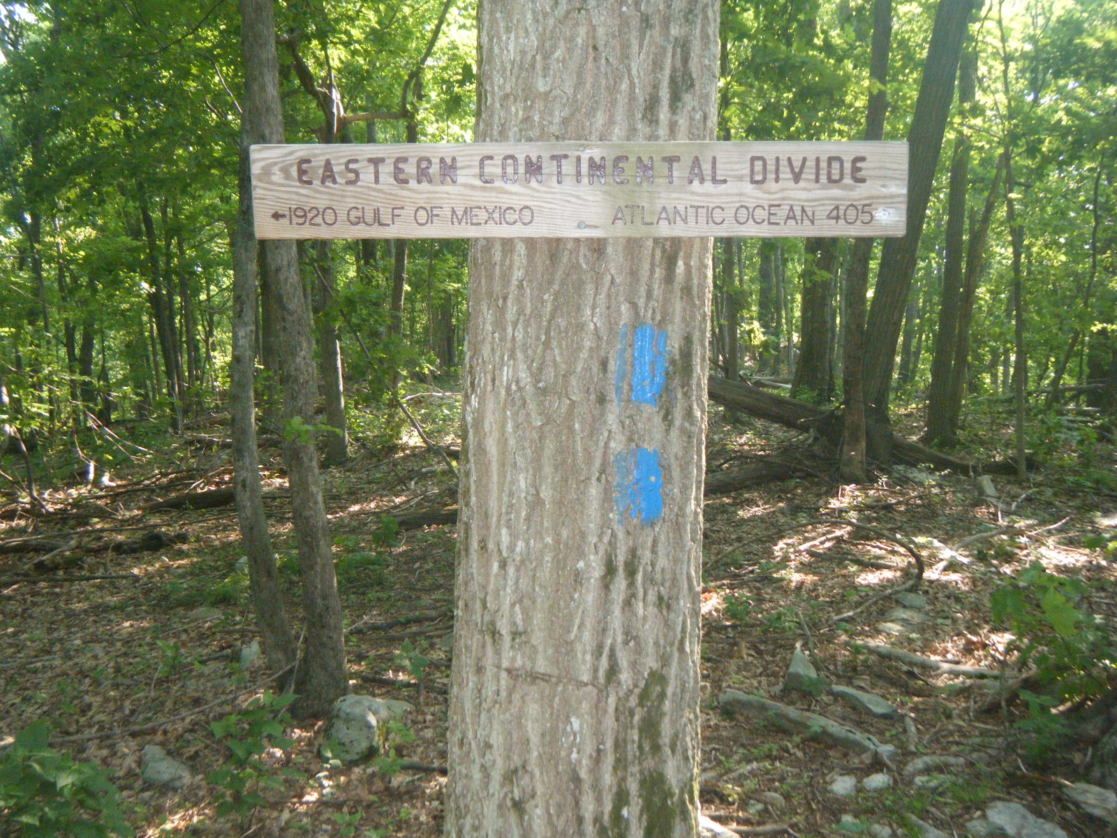
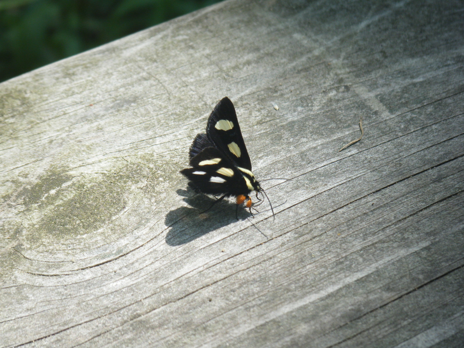
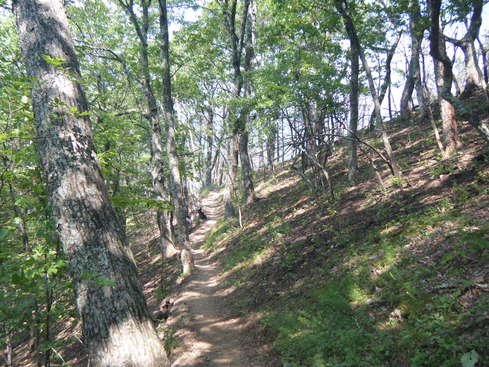
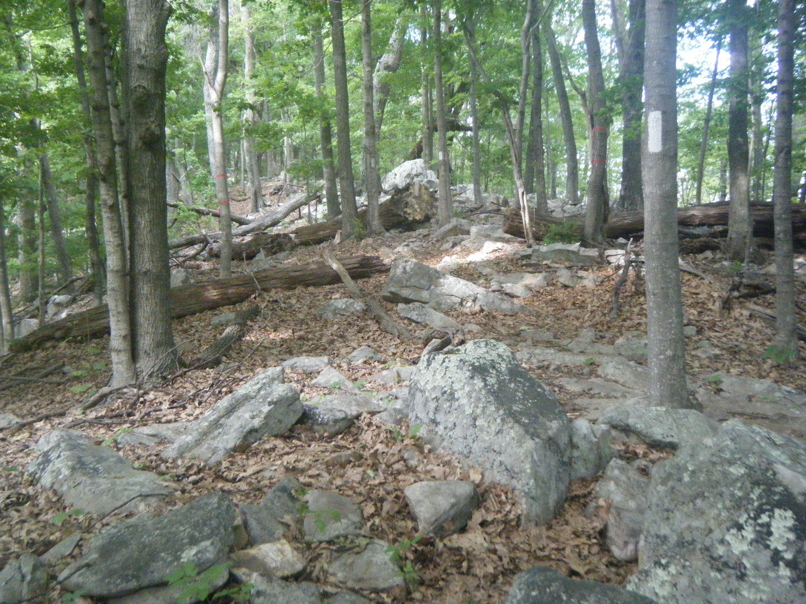
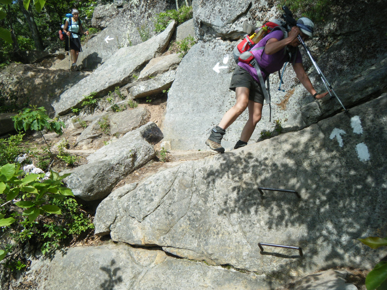
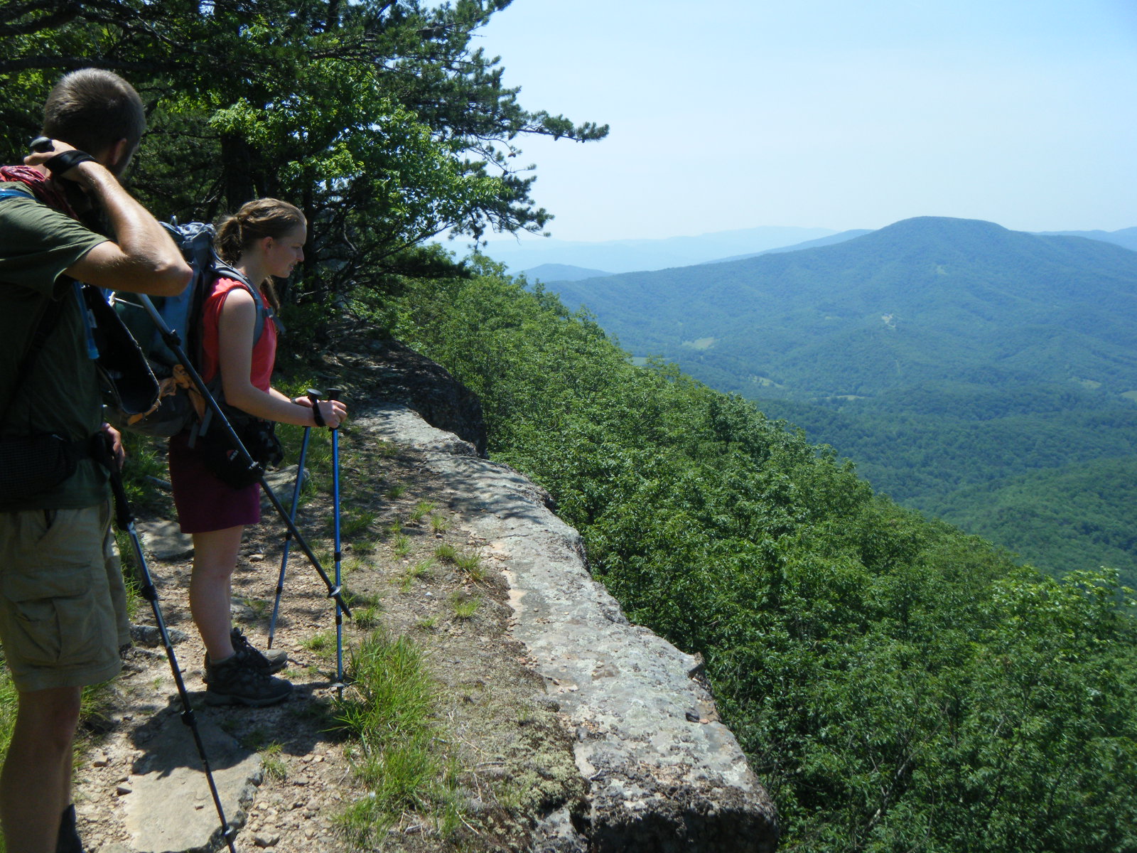
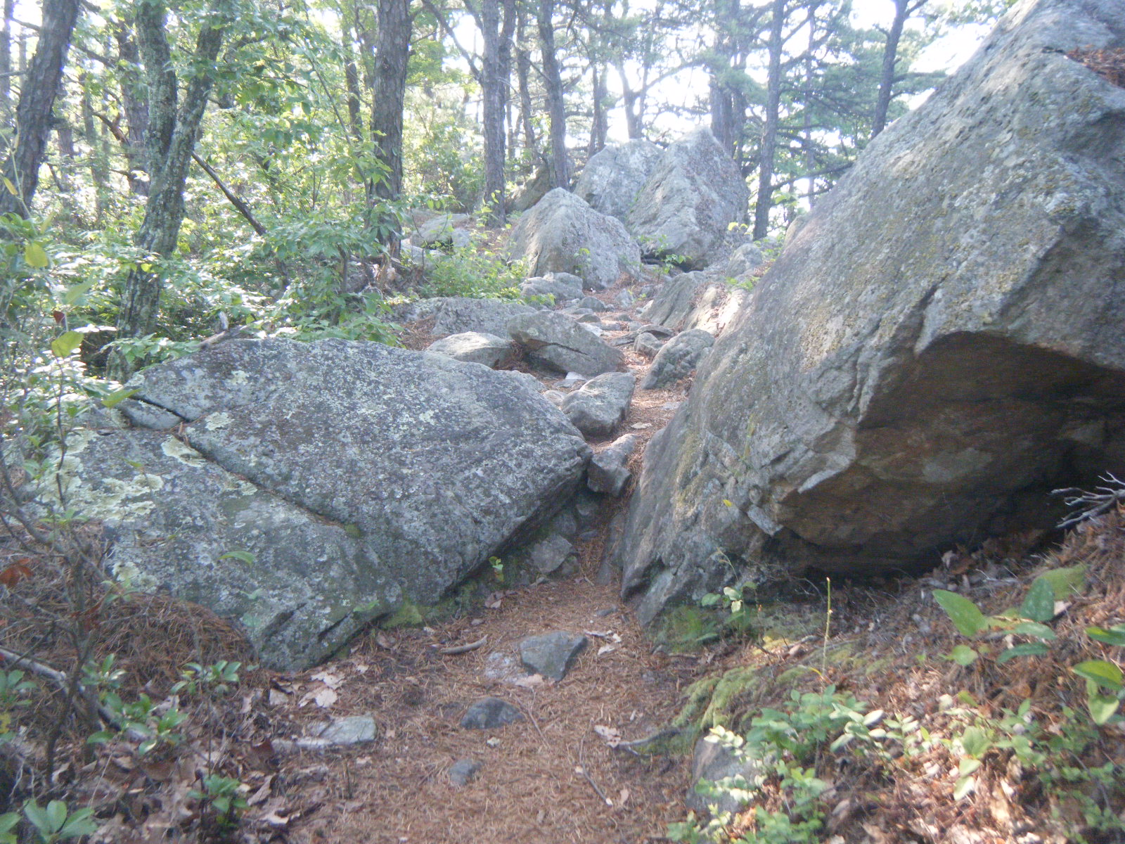
I awoke well rested and in good spirits (Wednesday June 1), surprised to see Gumby was now in a tent. Apparently the bugs forced him to awake fully at 1:00am and set up something with a bugnet. I slept beautifully. We hiked on and I took a break at Niday Shelter. I was able to tell by the shelter register entries that I’m not the only person on the trail being devoured by bugs. The ridge walk in the morning was tough – it was all large slabs of rock slanted sideways, which is really rough on the ankles. There were good views from the ridge though. I’m not a huge fan of slanted rock slabs, but at least they’re pretty terrain. My absolutely least favourite type of trail is when the dirt path is eroding sideways down the mountain. I stopped for dinner at Trout Creek where Fling, Daydreamer, and some others were already relaxing. This was another of those creeks in which you can almost swim. I rested by the creek for awhile, and a group of small purple-white butterflies landed on me and started licking salt from my shirt while I watched crawdads trying to catch baby trout in the water. I then prepared and ate dinner and gathered 4 liters of water for use overnight (on the waterless but breezy ridge). While doing this, a hiker named Jackrabbit strolled in and was surprised to hear he’d caught up to the infamous Pink Floyd – apparently people talk about me after I’ve gone. Jackrabbit told me he’d been about 1 day behind me for the past month, and he thought he’d never catch up to me. He carries a light pack and moves quickly, and was thrilled to catch up to Gumby and myself who generally do the same. He moved on, then Gumby and I climbed the mountain, passed Pickle Branch Shelter, and hiked along the ridge leading to Dragon’s Tooth until we each found a campsite. I dropped my pack and backtracked 1 mile to a view to watch the sunset, then hiked back to my gear, made camp, and had another very enjoyable evening in the cool breeze and safely behind my bugnet.
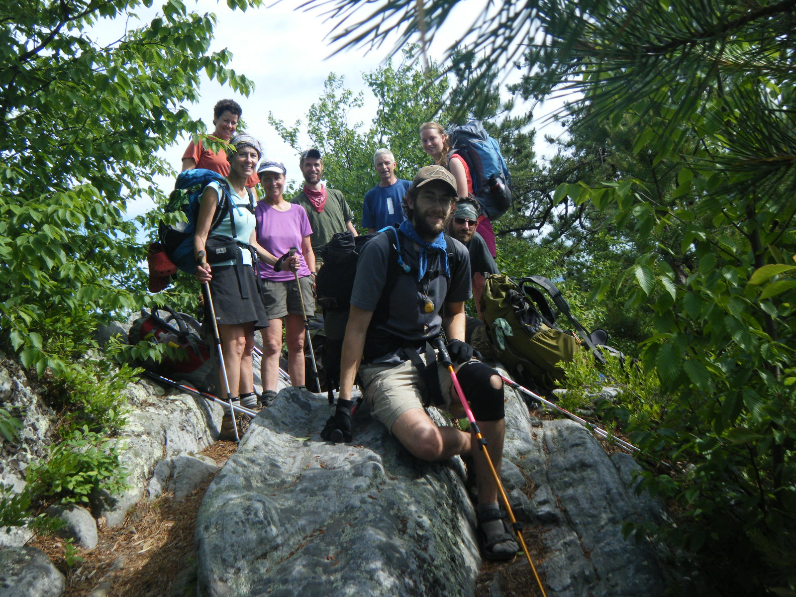
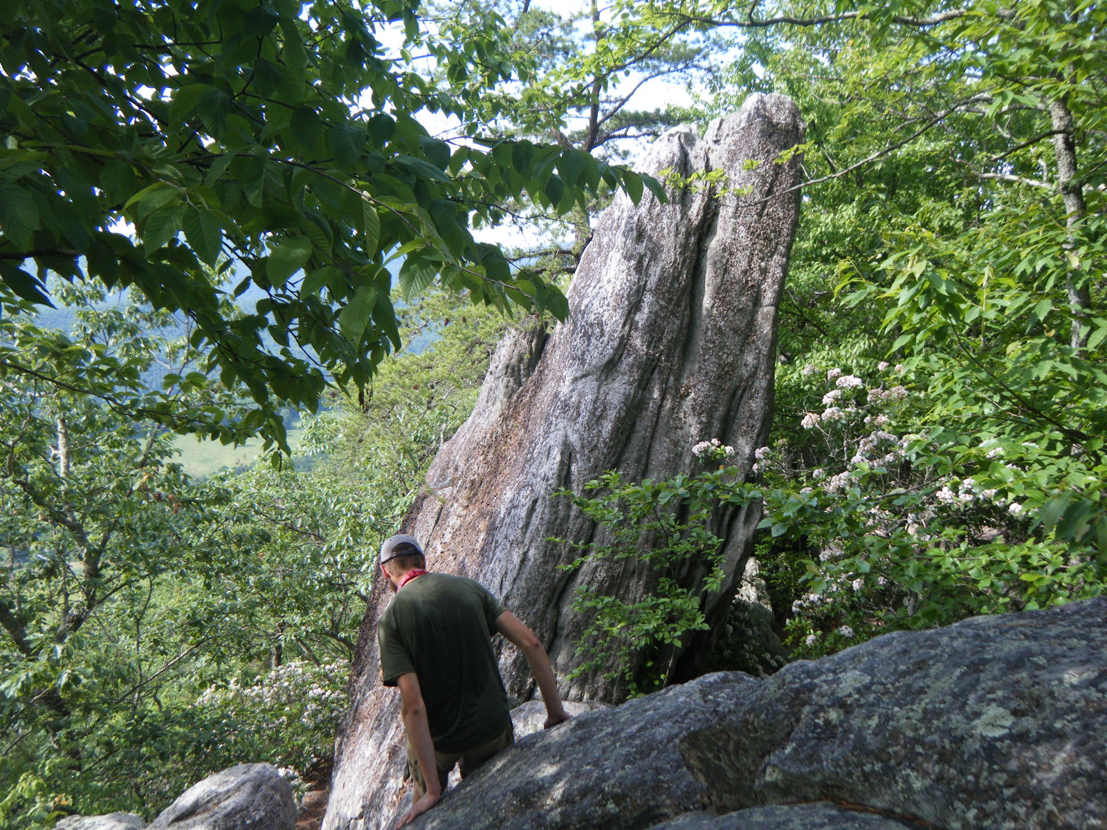
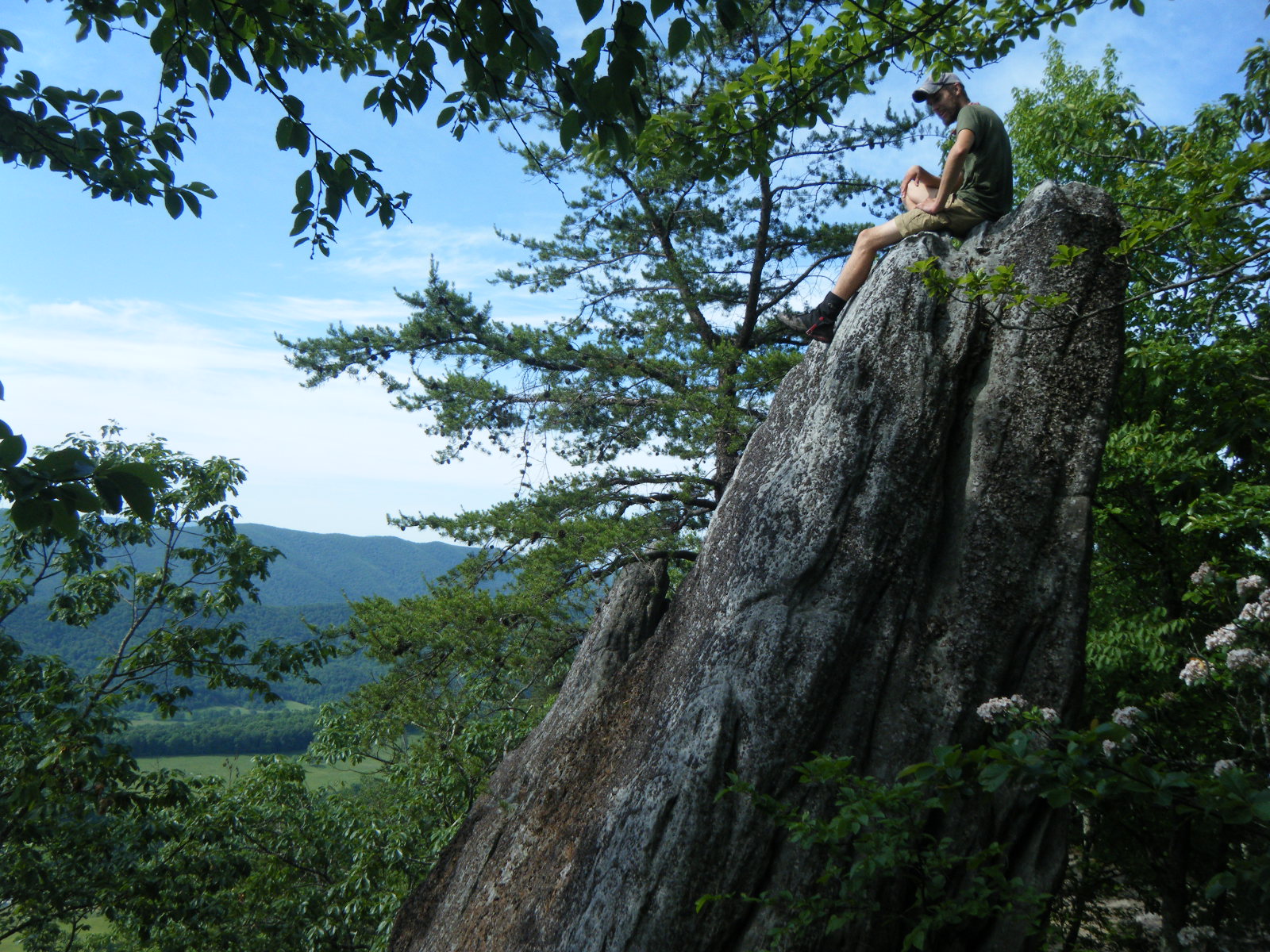
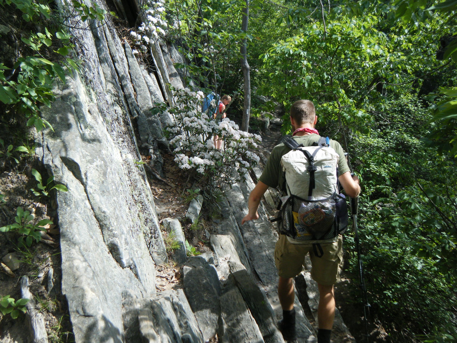
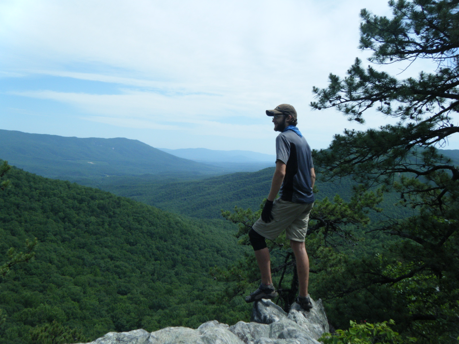
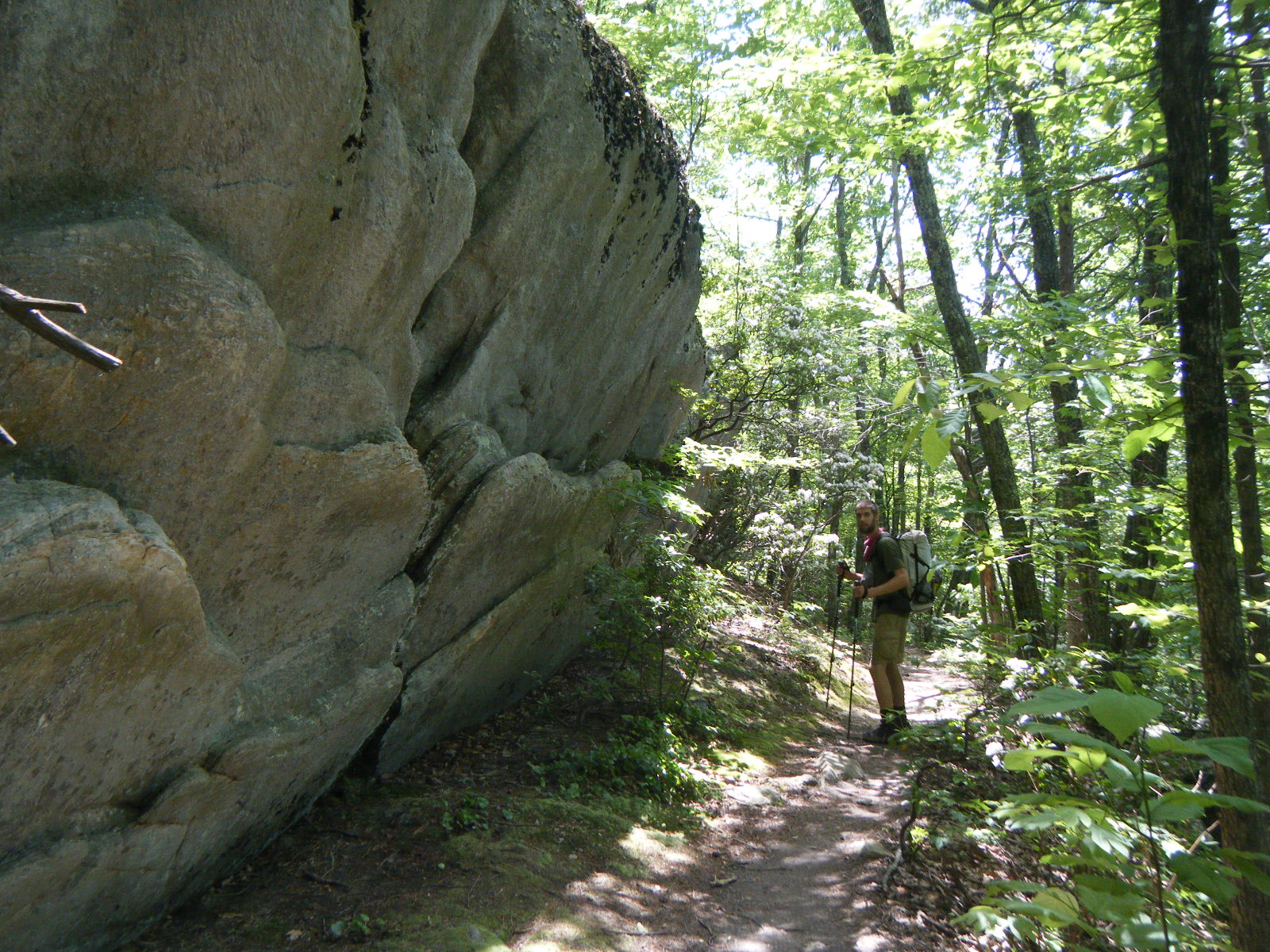
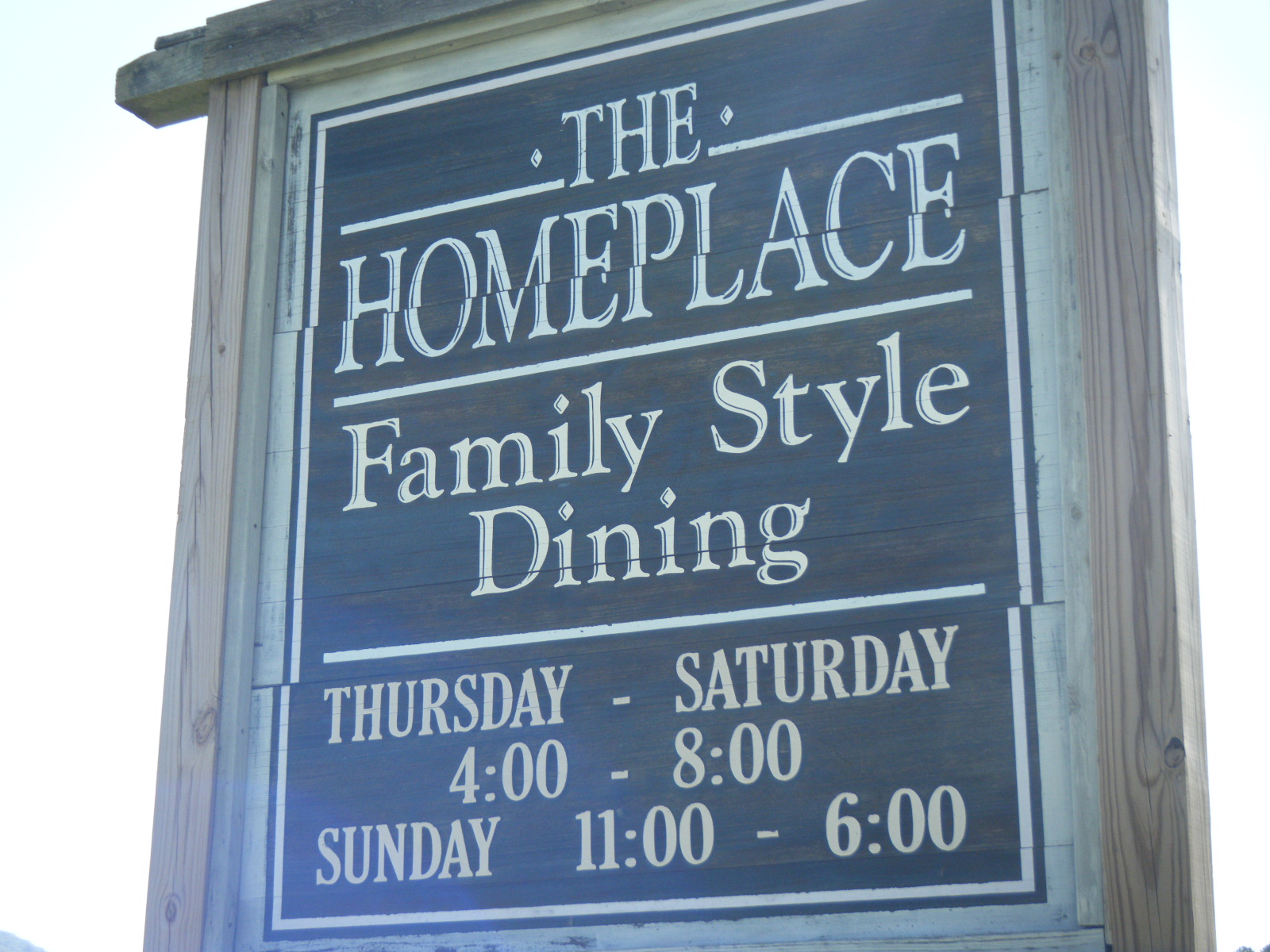
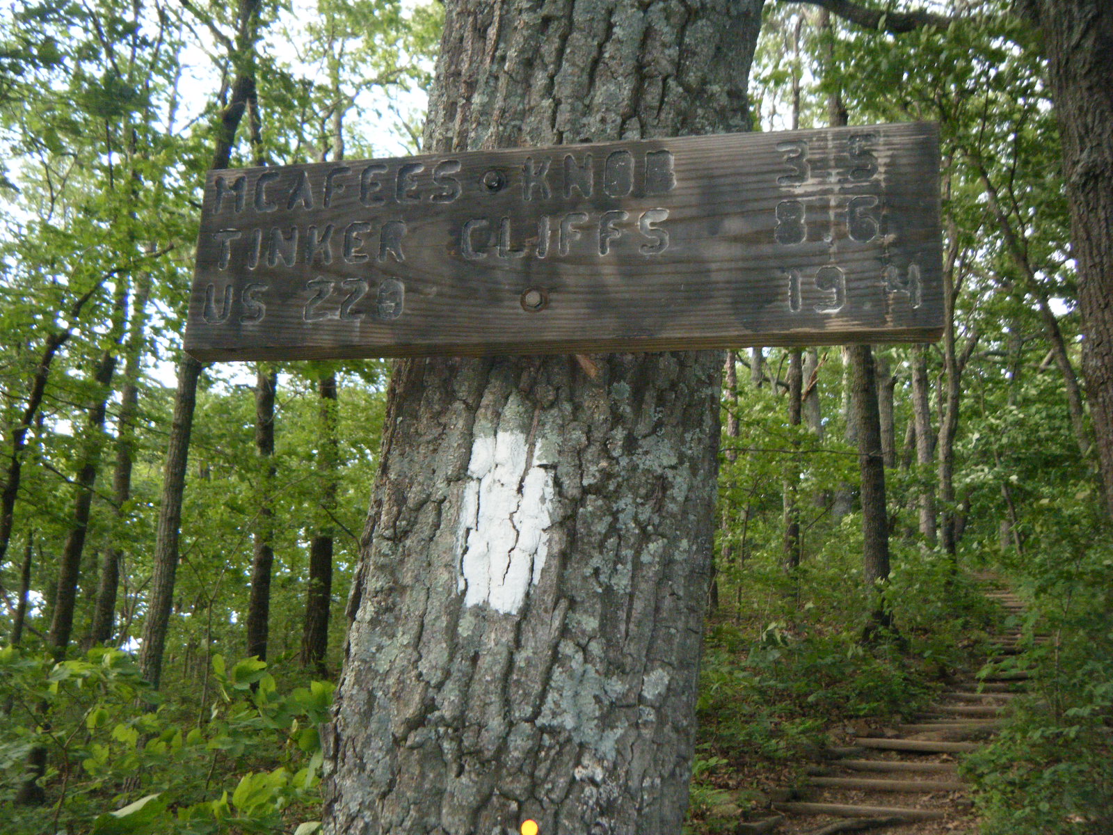
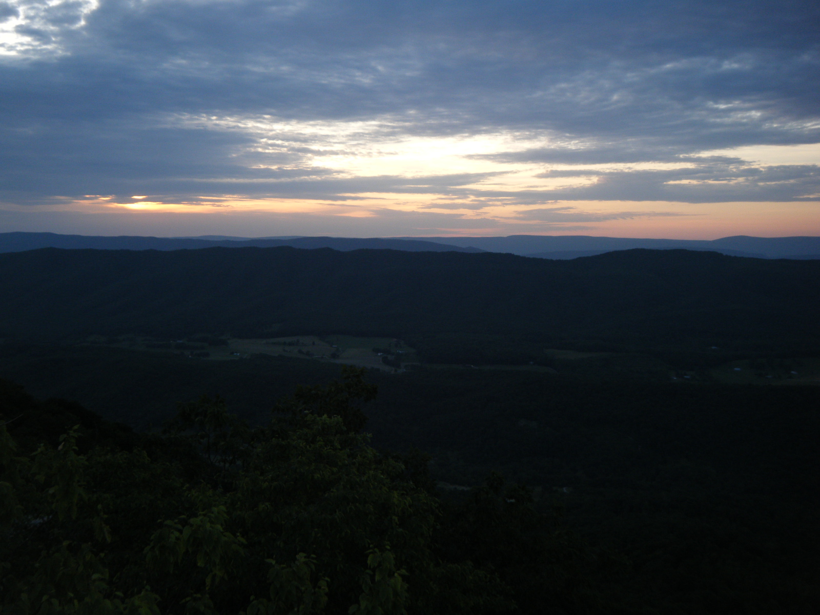
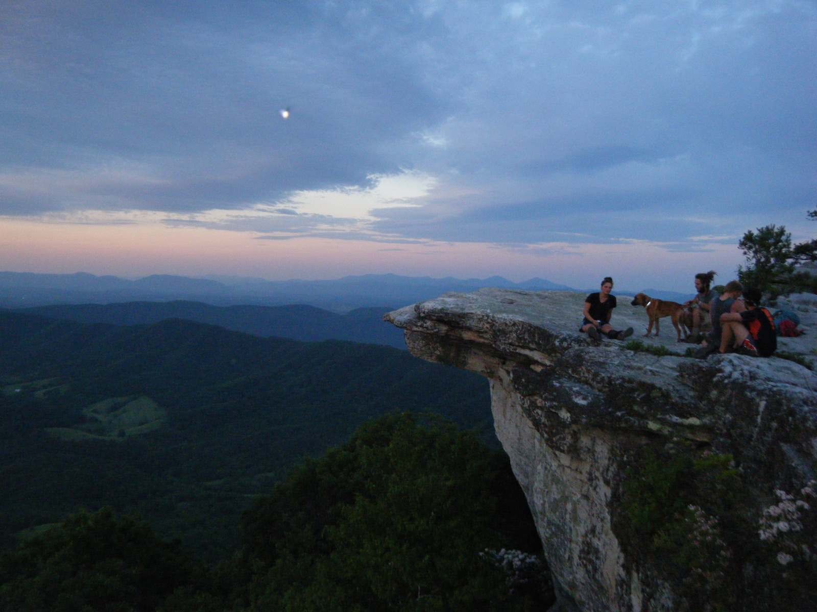
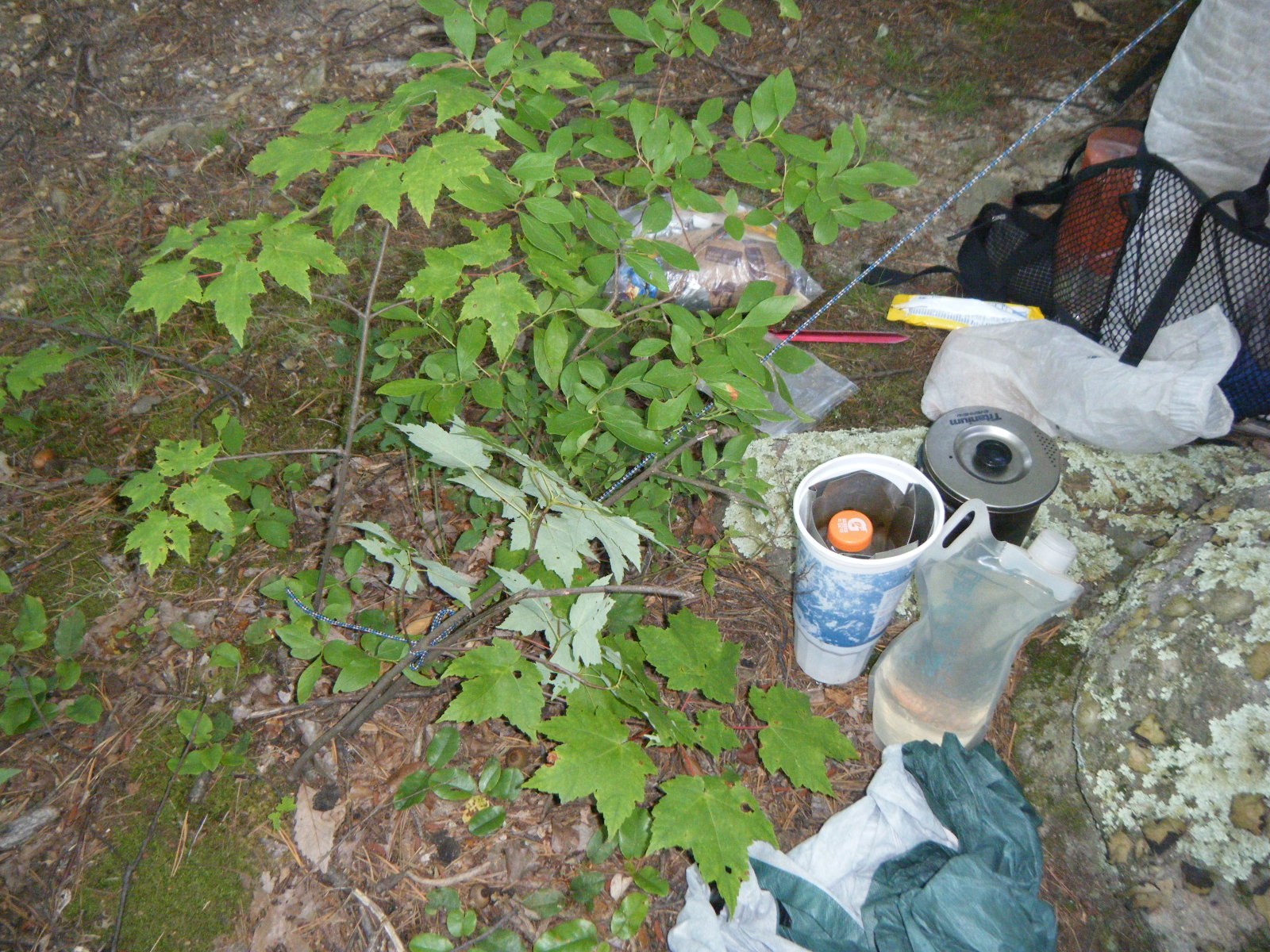
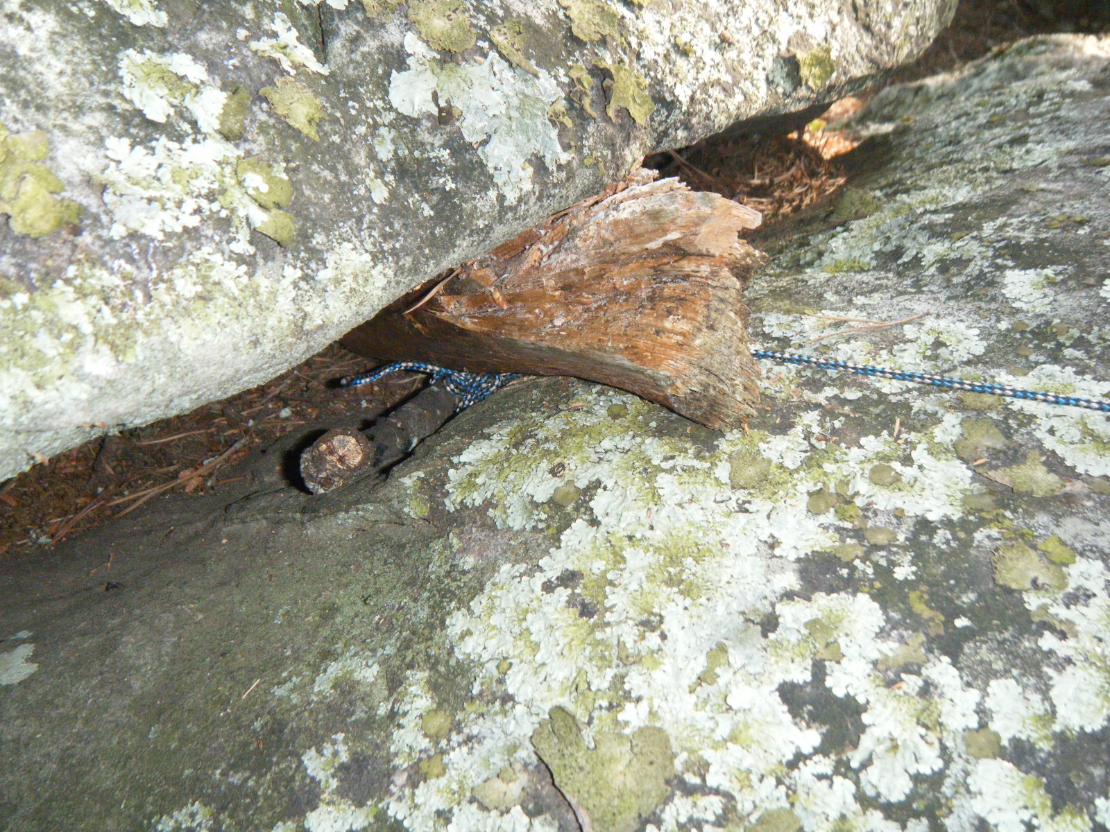
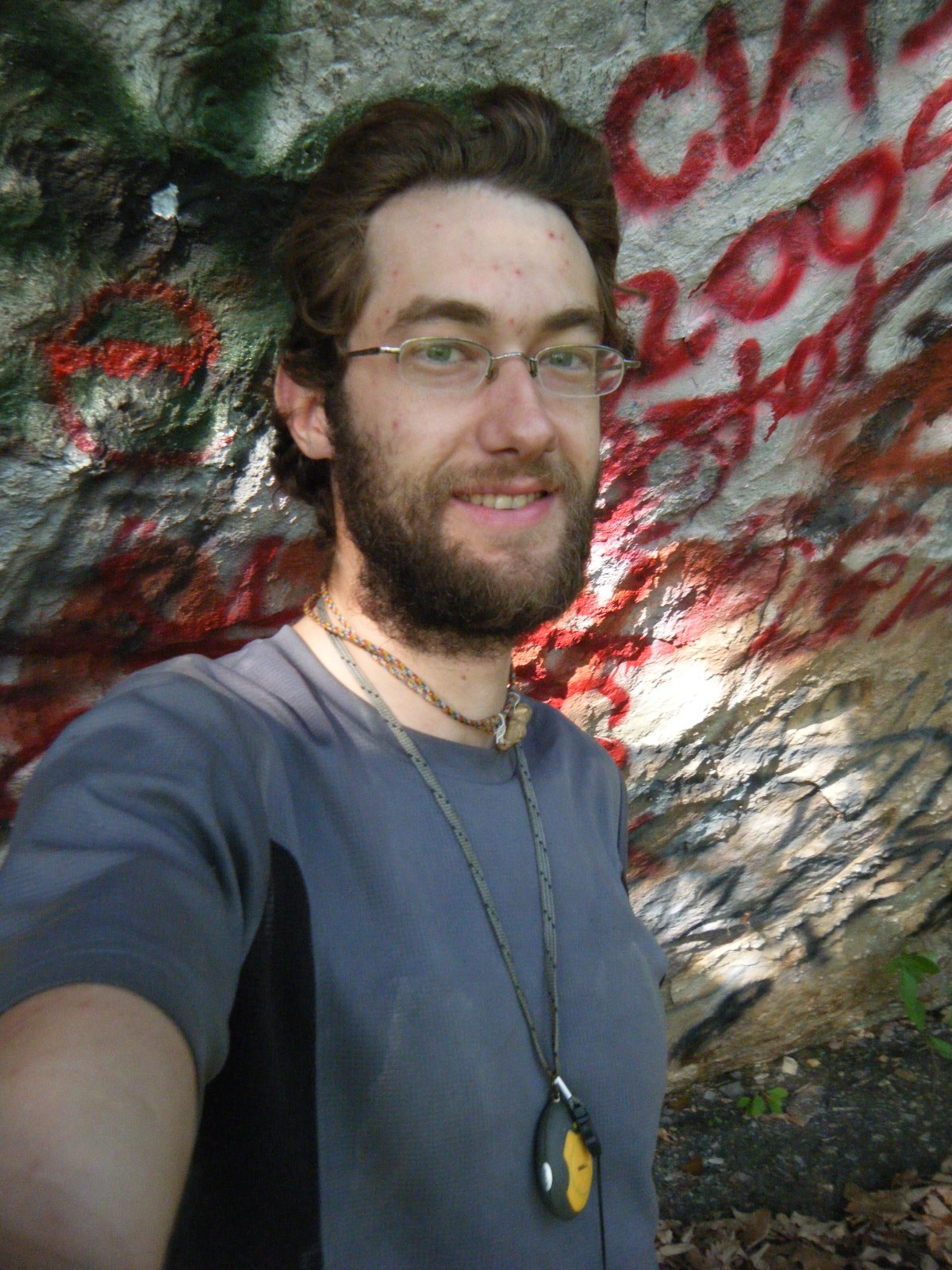
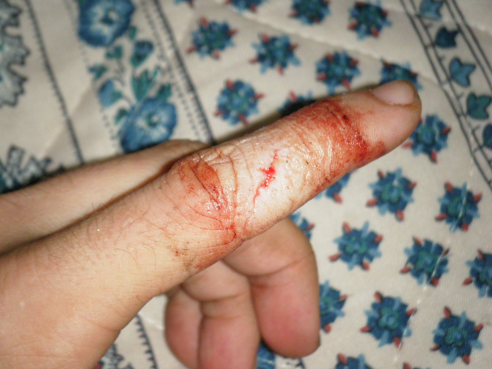
Thursday June 2 was a perfect day until I cut my finger. I hiked from my campsite to Dragon’s Tooth, and met up with a lot of old friends – Scribbles, Saunter, Journey, Nate Dog, Gumby, Raw Indy, Jackrabbit, and met a lady named Middleberry. We took a group photo at a viewpoint right before Dragon’s Tooth, then Raw Indy, Jackrabbit, Nate Dog and myself climbed up on top of Dragon’s Tooth for a photo. The descent along the AT from Dragon’s Tooth was very, very rocky and technical and difficult. There were even some metal ladder rungs mounted on the sides of the rock face to assist in the descent. Despite the difficulty, we all agreed that it was a very enjoyable section of trail. We reached a road leading into Catawba around 11:00am and walked 0.4 to a gas station for ice cream, milk, and pizza. Afterwards some of us returned to the trail and hiked 6 miles along a ridge to another highway intersection and followed it into Catawba again. The others just walked within Catawba and skipped 6 miles of trail. I mailed home some cold-weather clothes at the post office, then we all headed to The Homeplace for dinner. It’s an AYCE family-style restaurant with really great food. We had fried chicken, BBQ pork, roast beef, mashed potatoes, buttermilk biscuits, green beans, pinto beans, coleslaw, cinnamon apples, and probably some other stuff I can’t remember. I ate so much that I impressed even my fellow thru-hikers. Afterwards we all sat outside in a gazebo while we digested, then we caught a ride with Derek back to the trailhead. Derek works at the outfitter in Daleville and was eating at Homeplace that night as well. He stopped to chat with us before his meal and even made two trips to the trailhead to ferry us all back to the AT. Thanks a lot Derek! Once we reached the AT, Jackrabbit and I realized we were only 3.5 miles from McAfee Knob and there was just over an hour ’till sunset. We accepted the challenge and took off at a breakneck pace 2 miles to a campsite, dropped our packs, then raced 1.5 miles up to the Knob and we did manage to see the sunset. We then realized we’d forgotten to bring our headlamps, so we hiked 1.5 miles back to our packs, slowly, in the dark. We then filled up on water at the campsite and hiked about 1 mile back up toward the Knob to some giant boulders between which a few tenting locations were scattered. We started setting up camp. While pitching my tent I noticed a twig had grown and died in a spot very inconvenient for my tenting, so I attempted to cut it off at ground level, slipped, and cut pretty deeply into my left index finger. I spent the next half hour trying to slow the bleeding enough that I could apply a band-aid, then spent awhile cleaning blood off my gear. In the meantime Jackrabbit was attempting to throw a bearbag line over a pretty high branch. After bandaging my finger I gave it a shot and succeeded after a few tries, but then the branch rocked and creaked suspiciously, and a chunk of it broke off and fell in front of us. After realizing this branch was actually a 50-lb widowmaker, we gingerly removed the bearbag line and found another tree. I then did what I should have done in the first place and moved my tent 6″ to the side to avoid the finger-spoiling twig, and we went to bed, finally, around midnight. Also on this day someone told me that you should file down the calluses on your big toes to prevent them from restricting circulation. I’m not doing that.
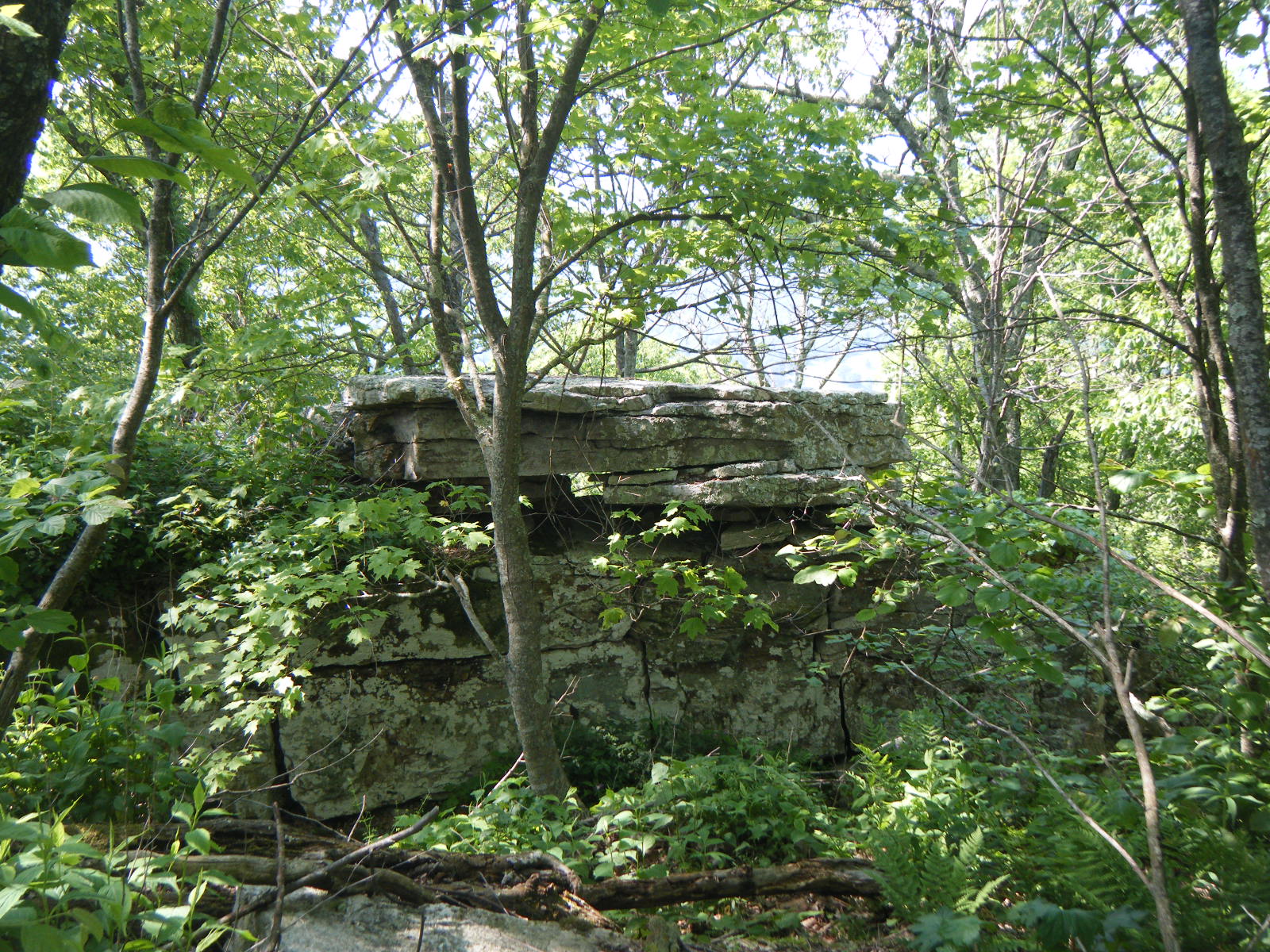
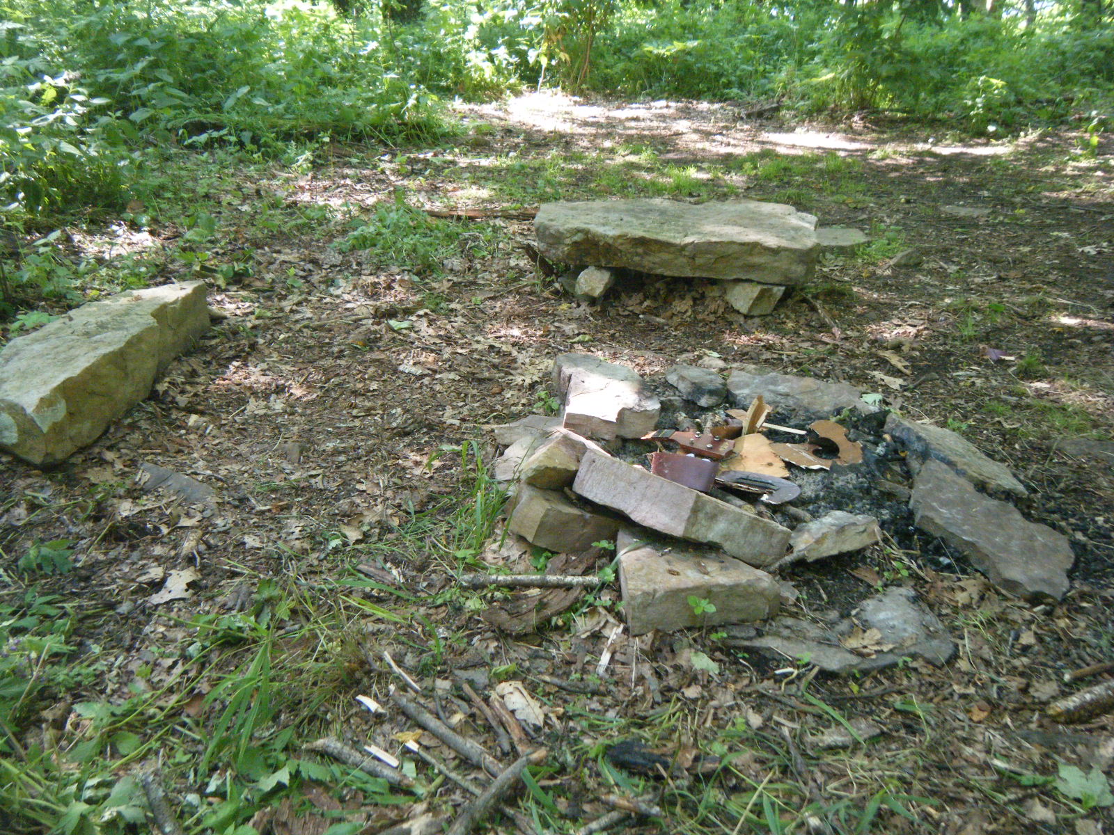
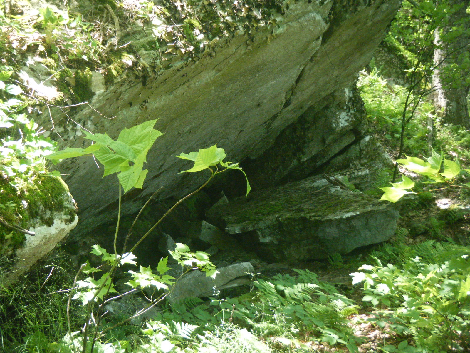
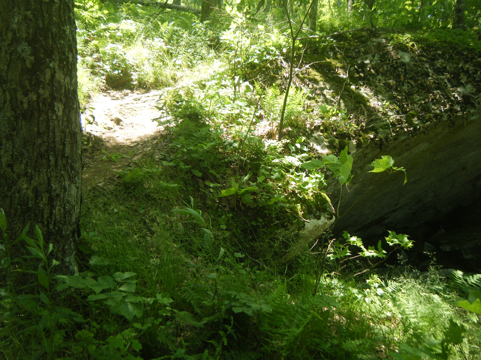
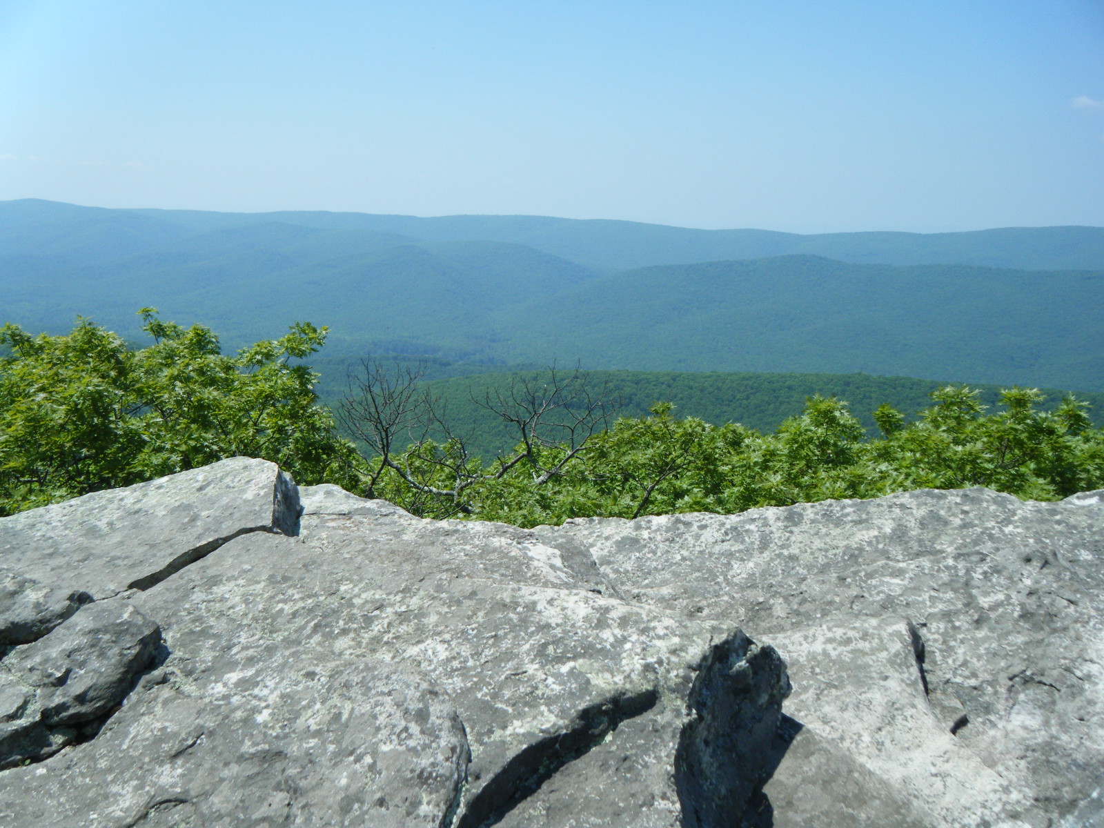
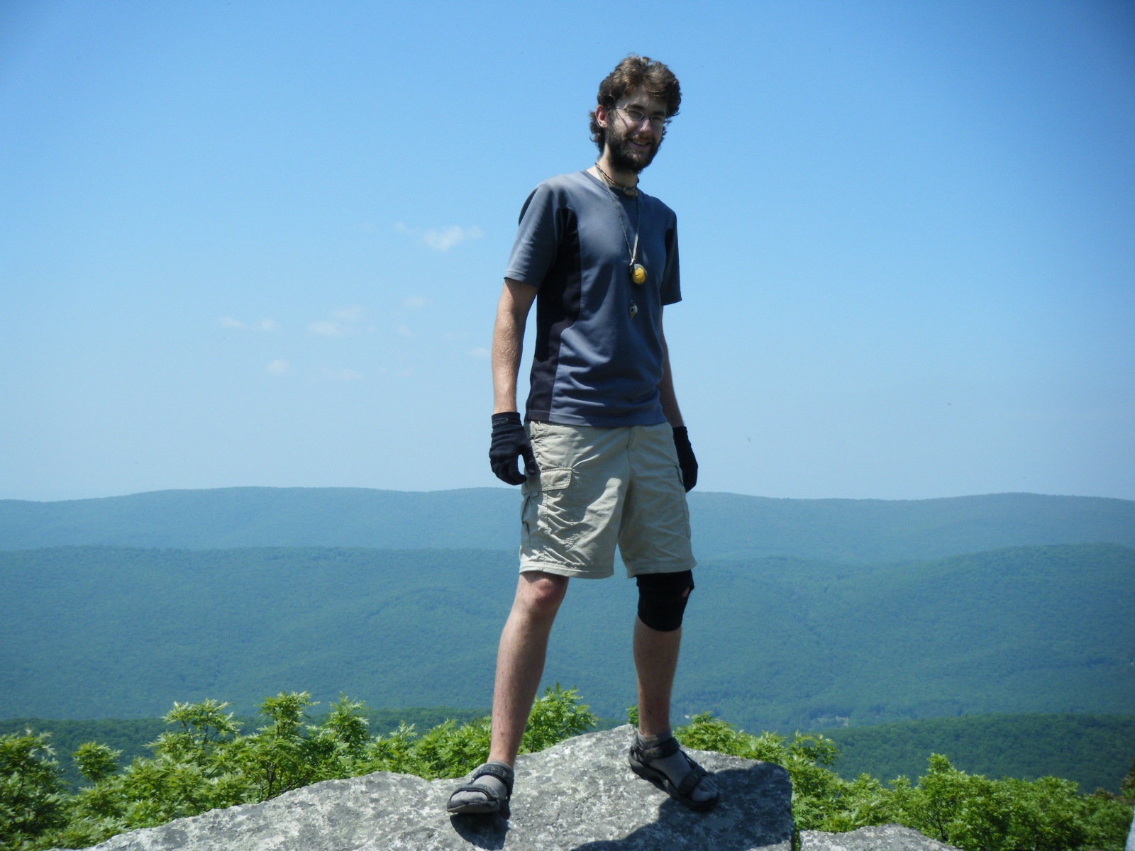
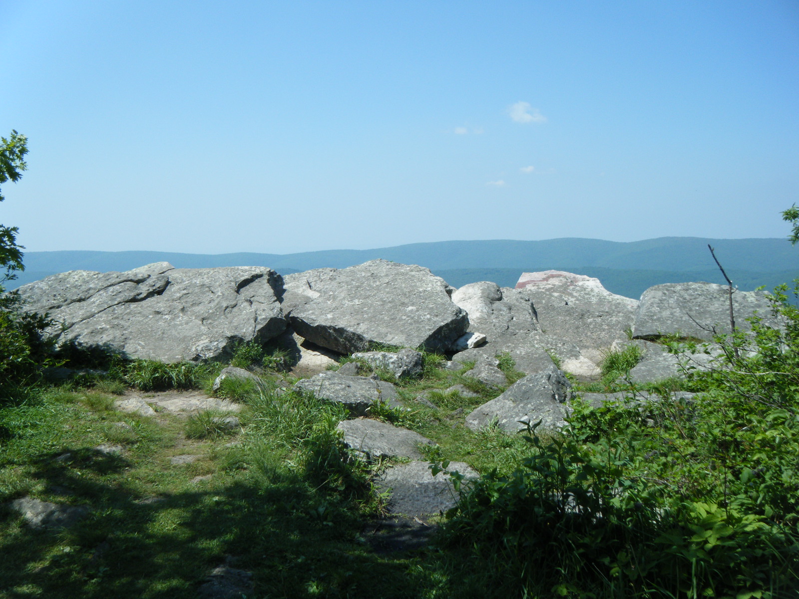
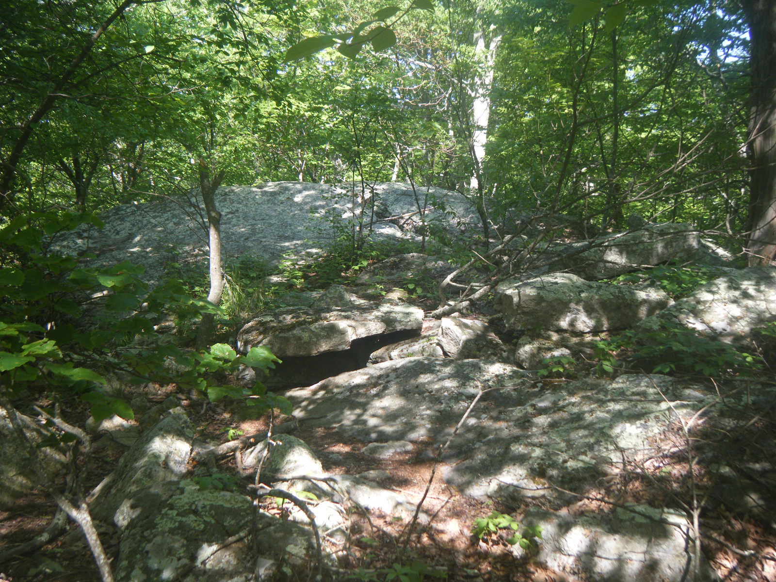
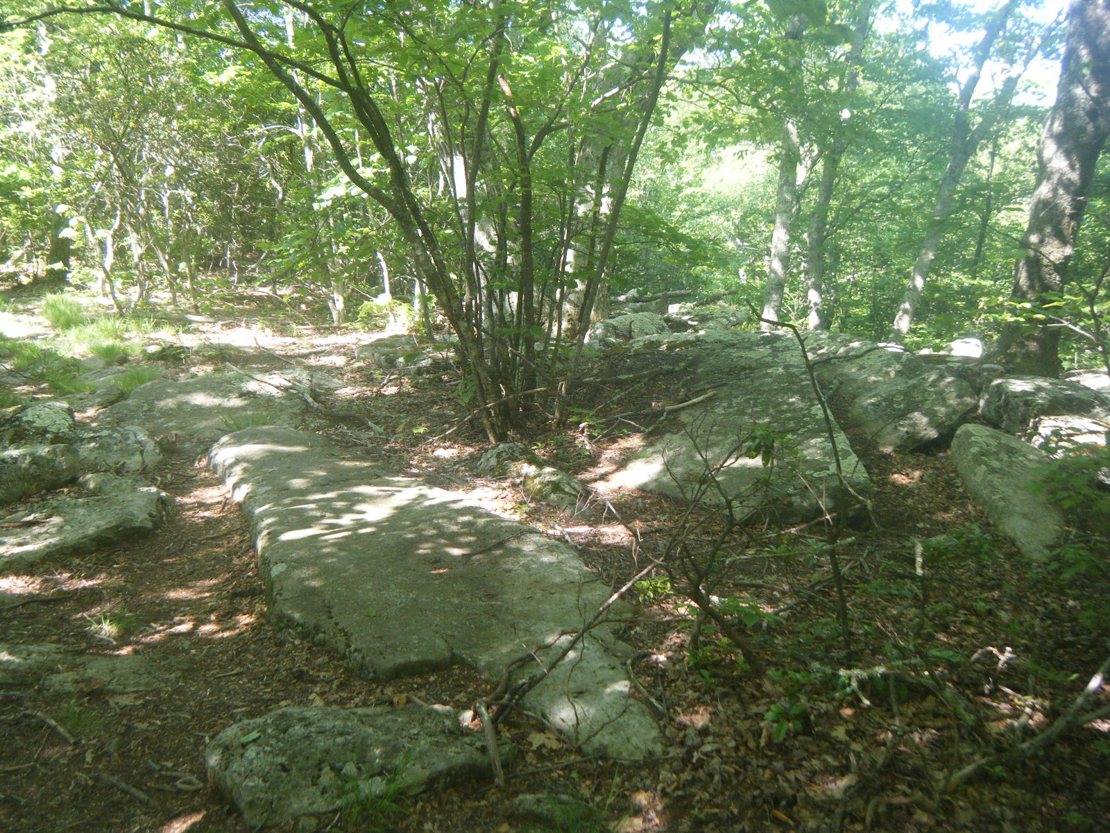
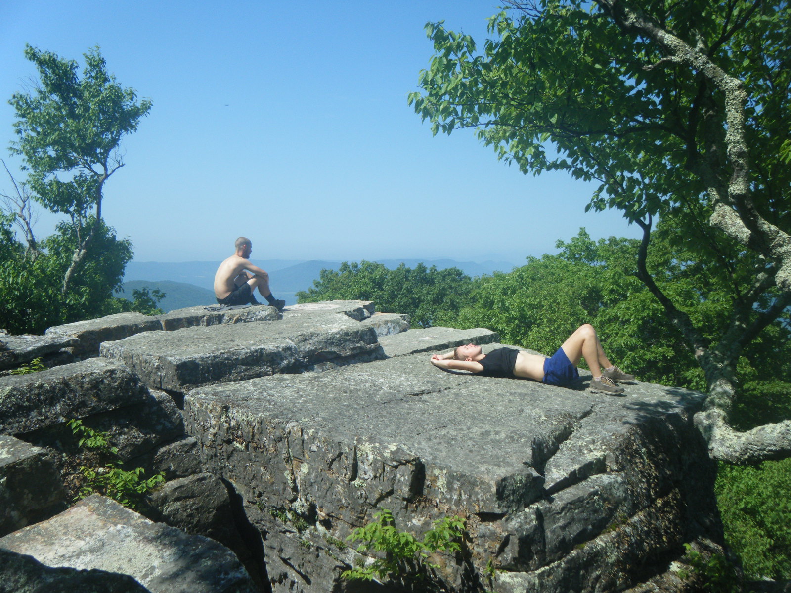
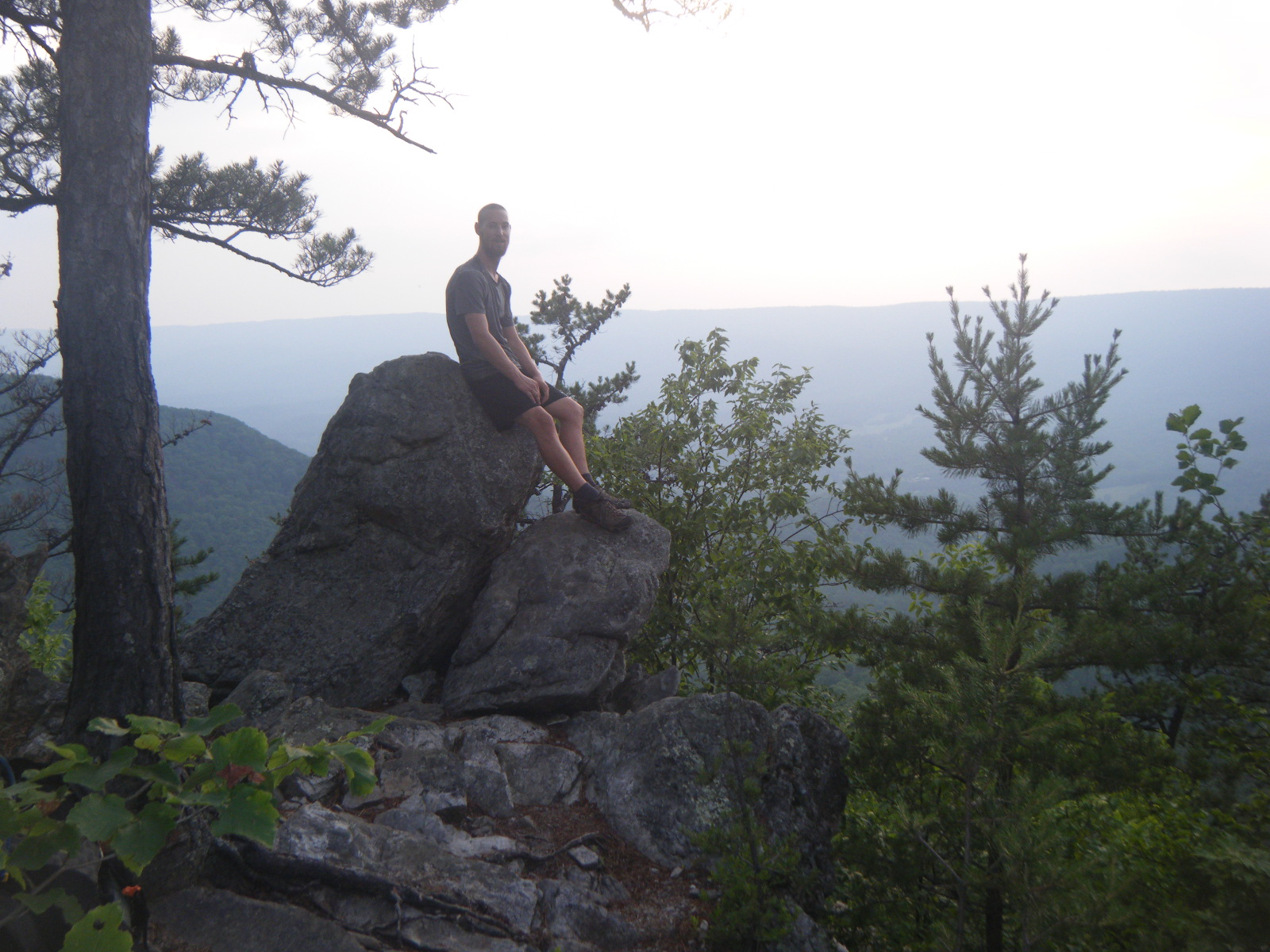
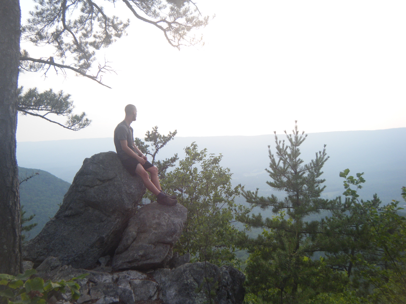
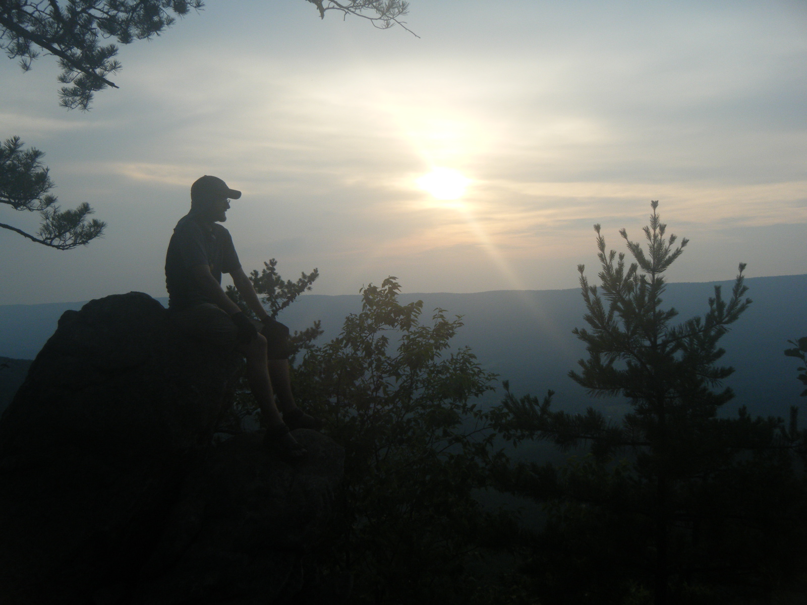
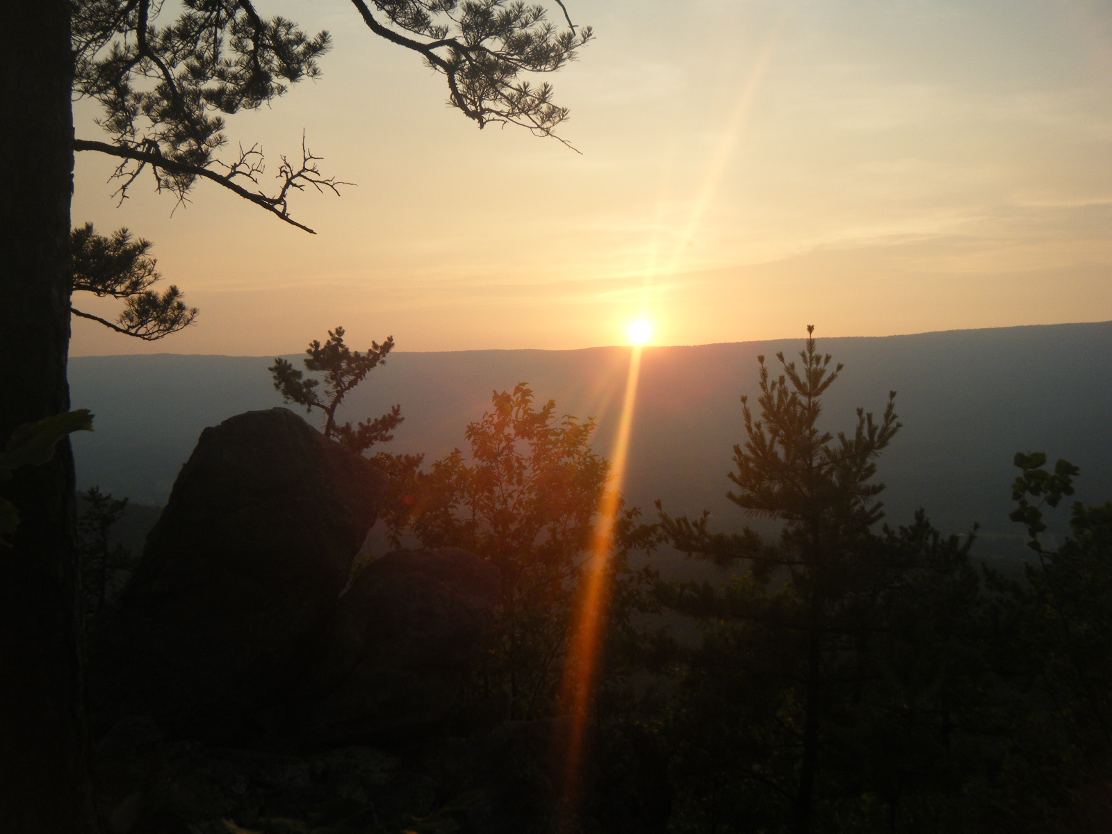
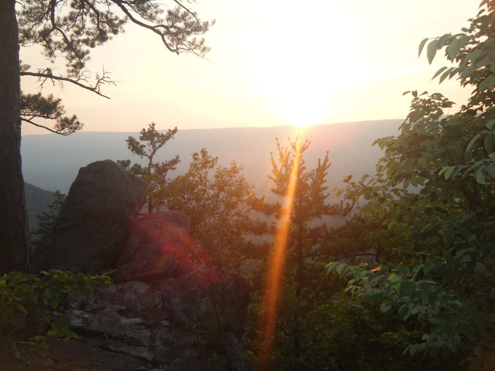
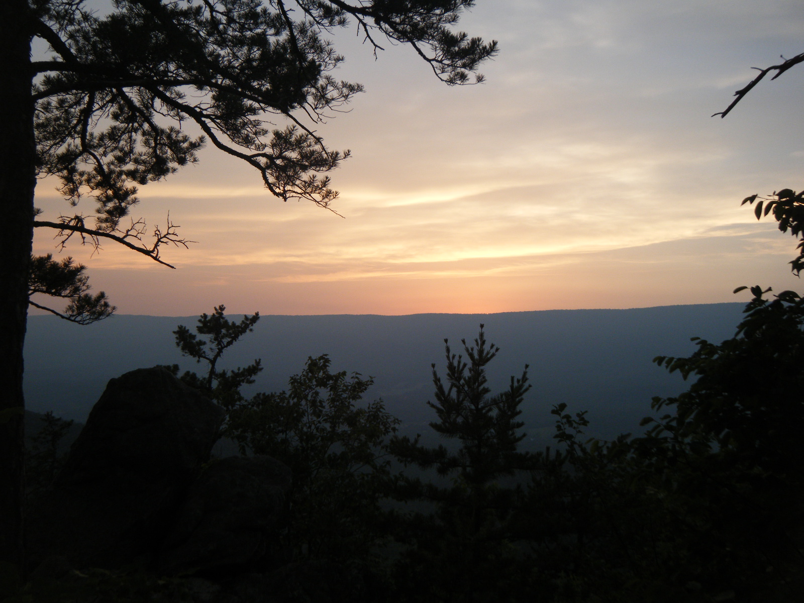
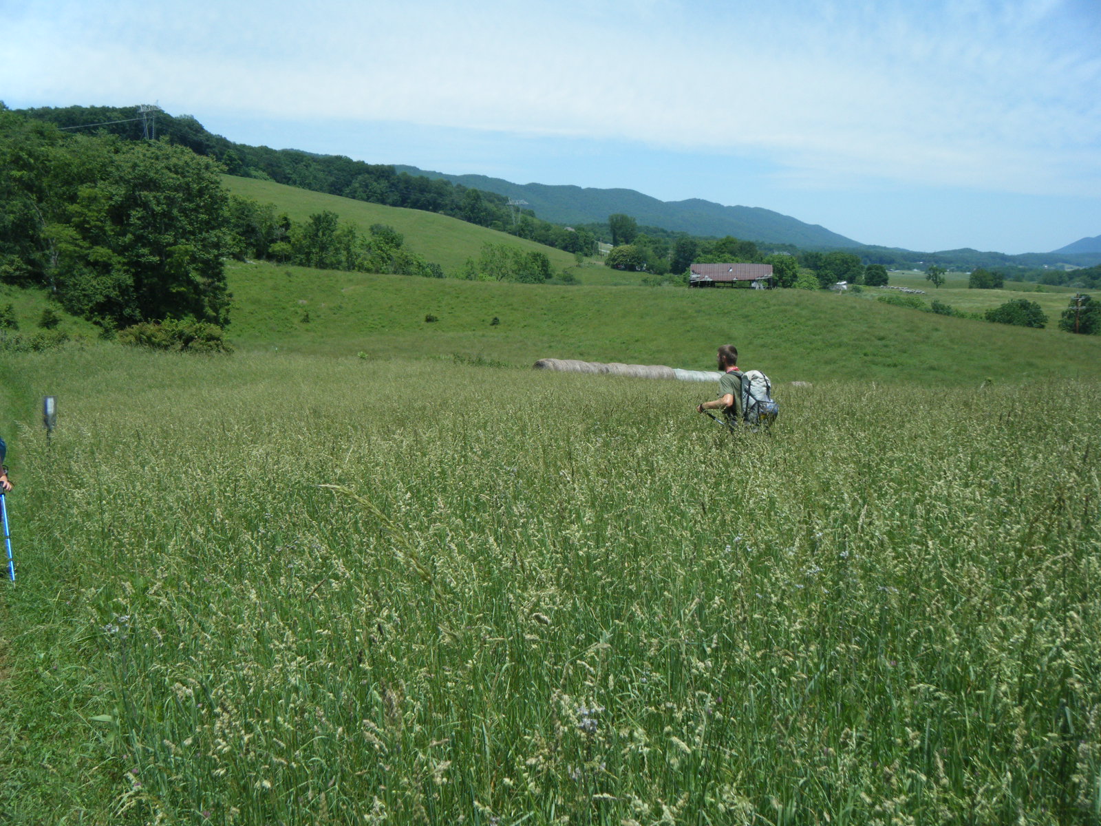
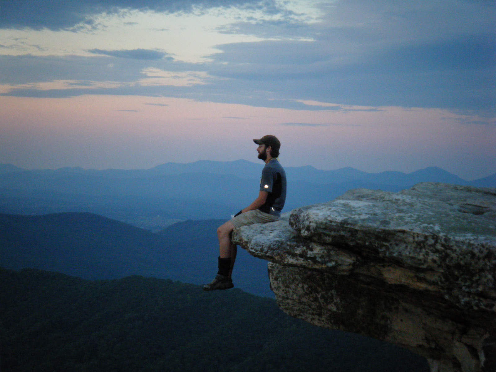
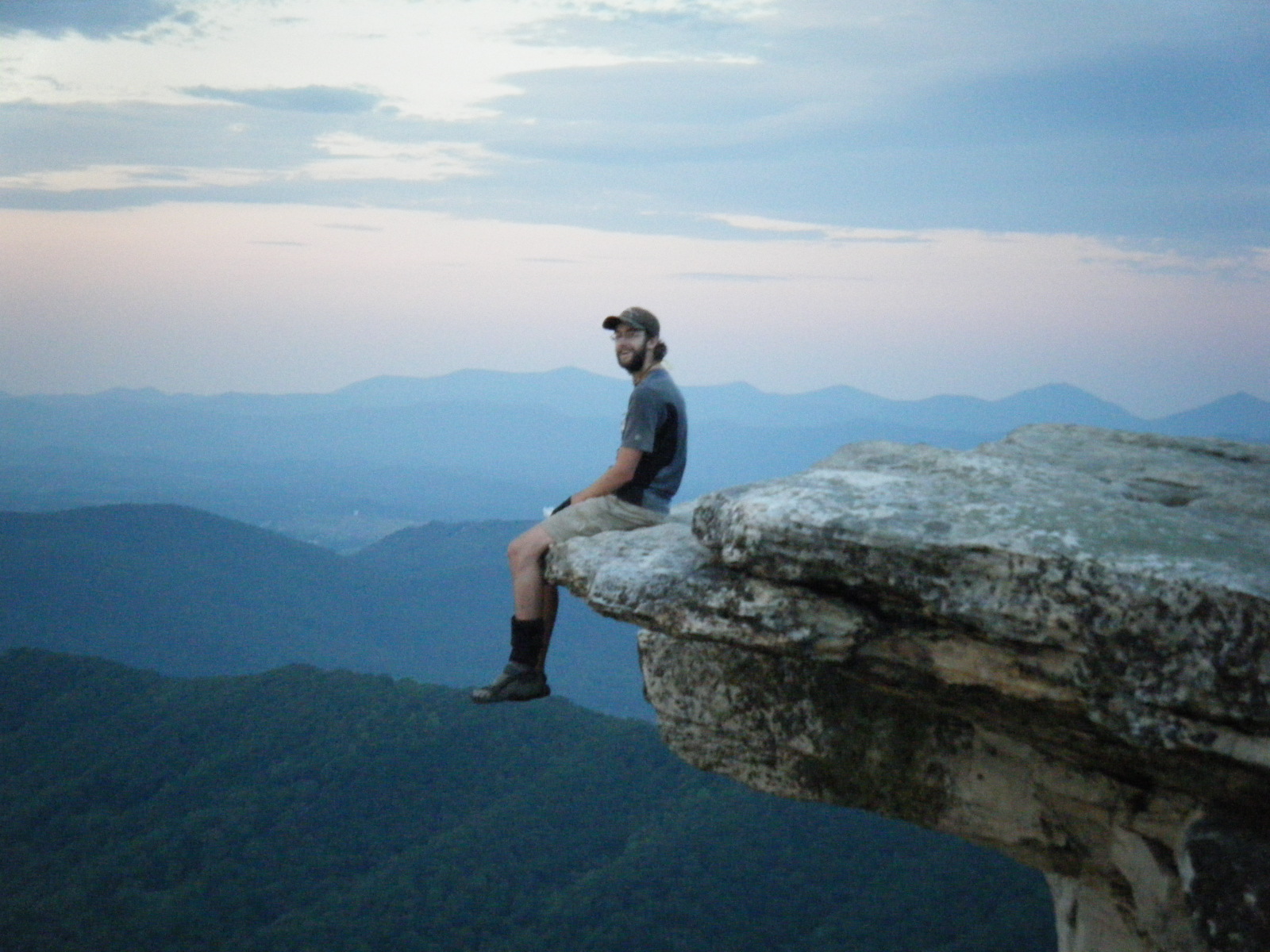
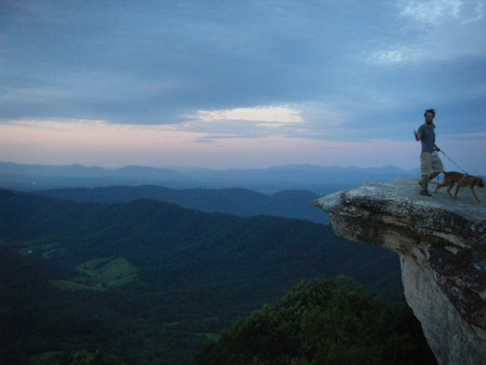
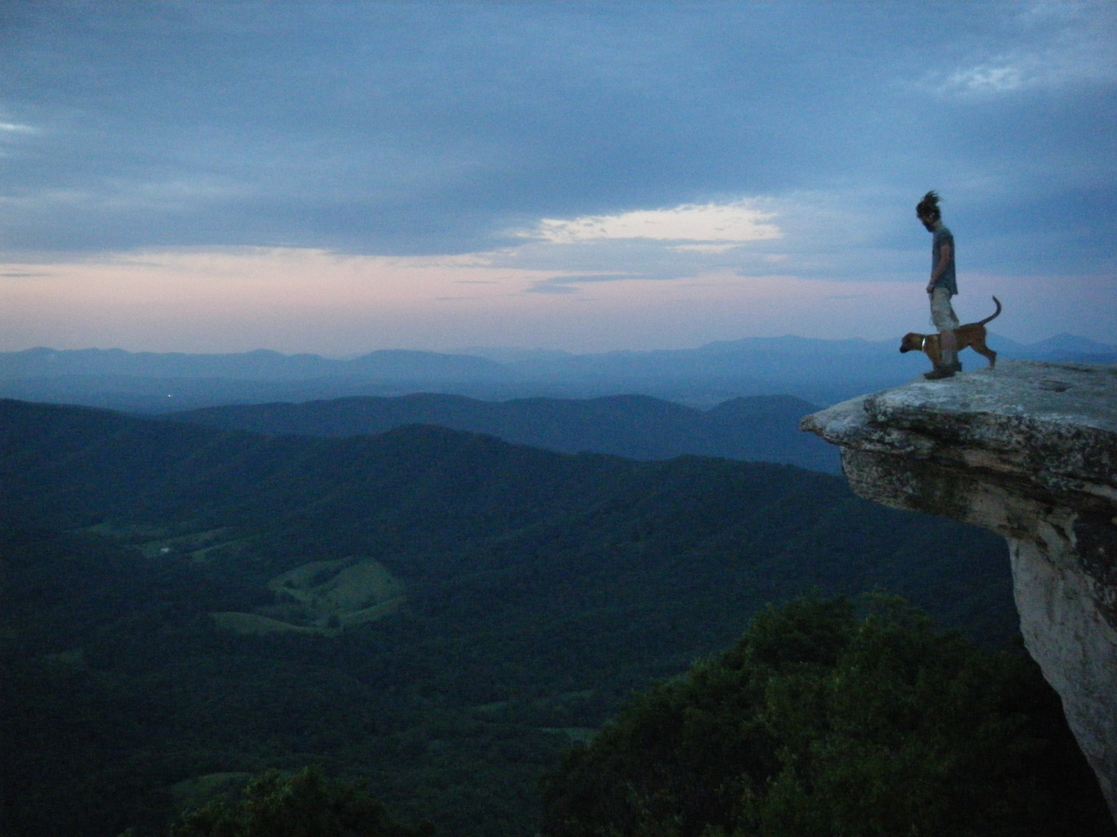
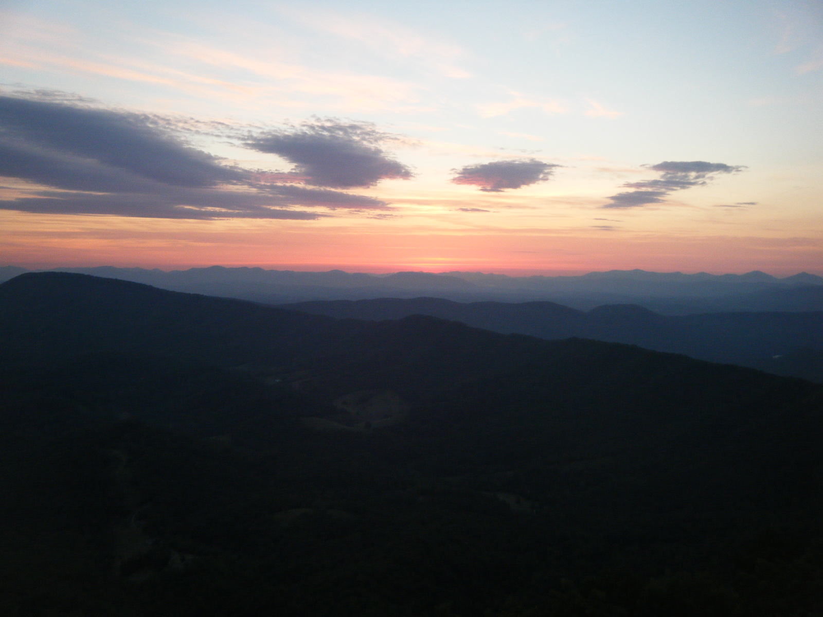
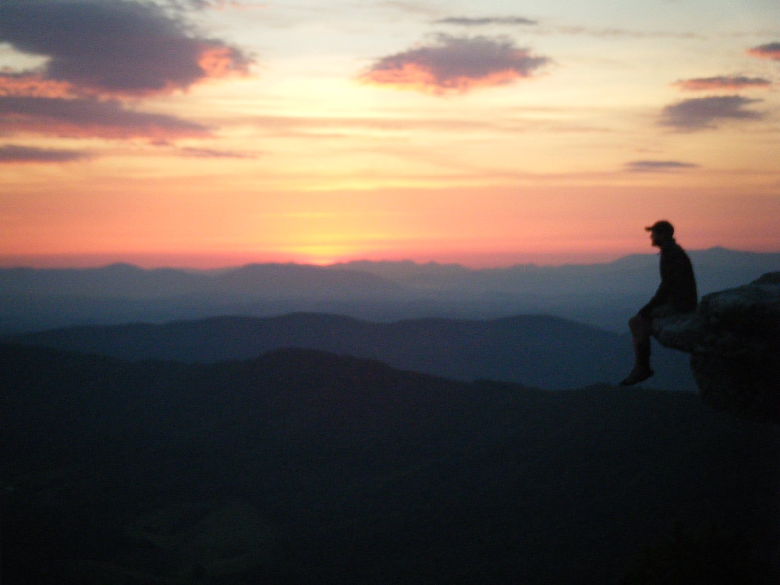
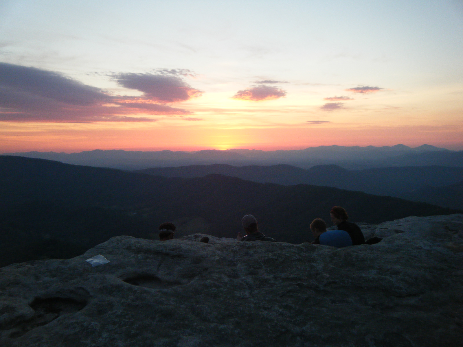
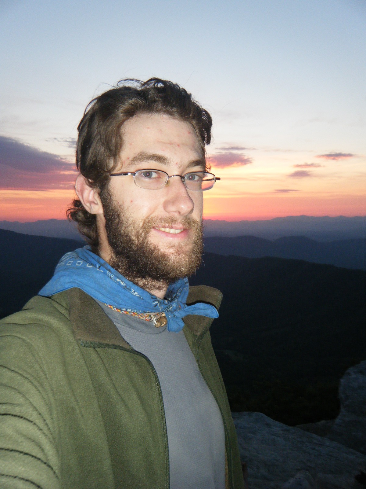
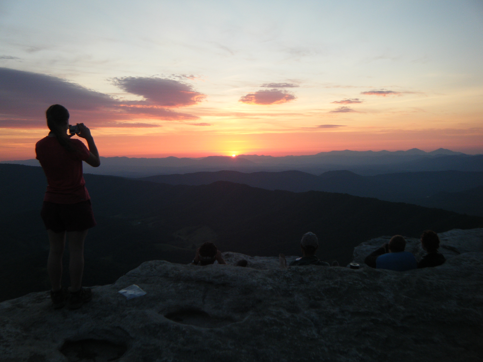
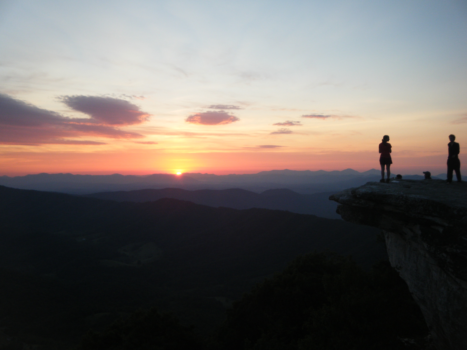
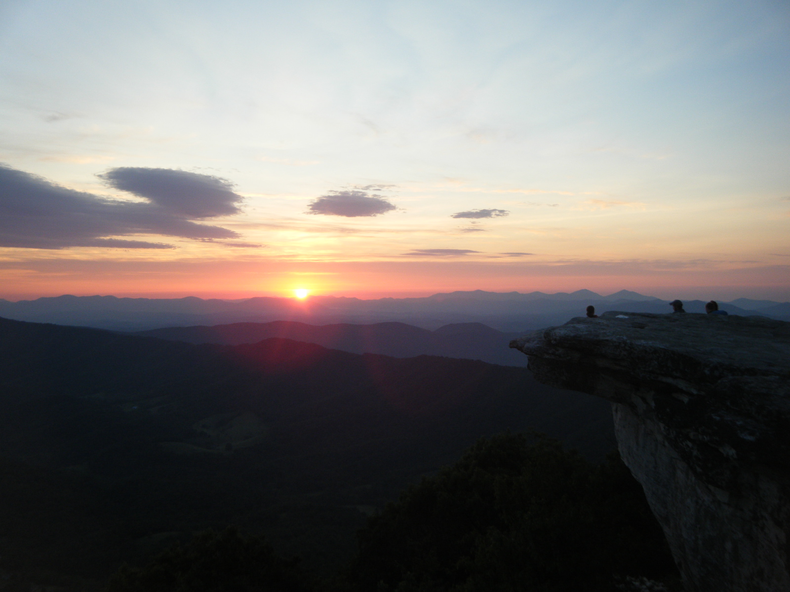
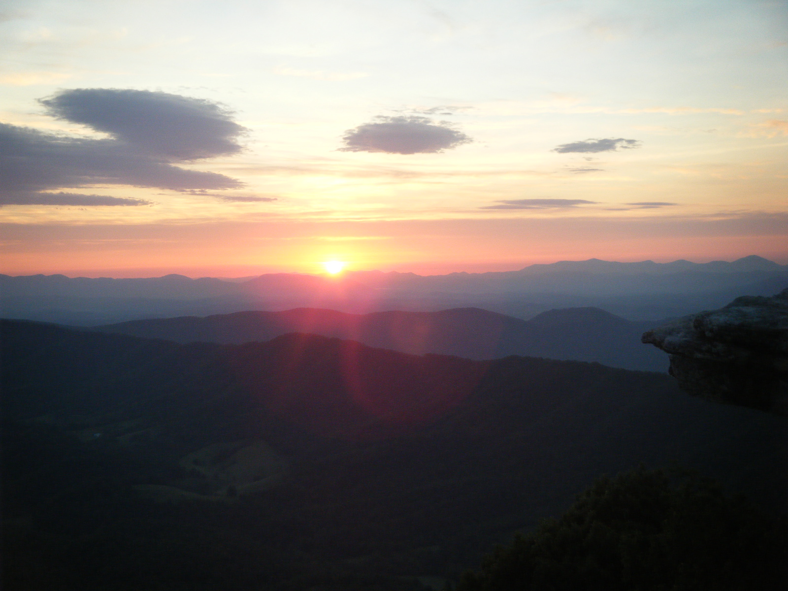
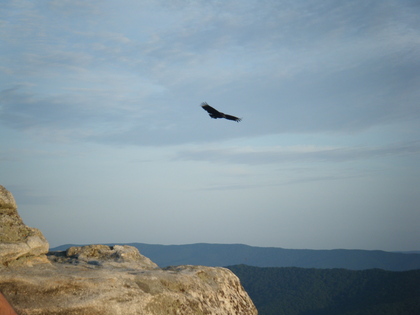
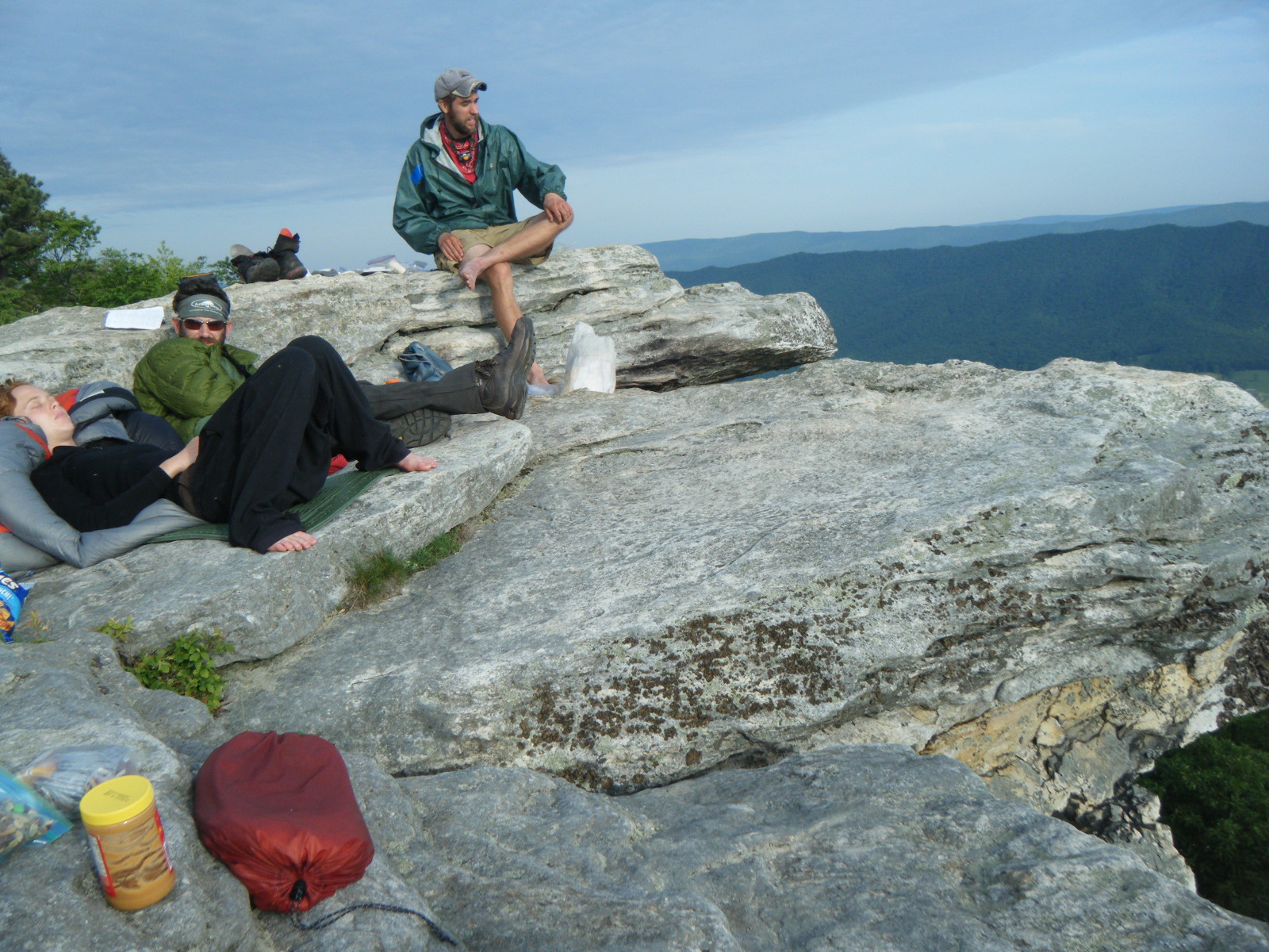
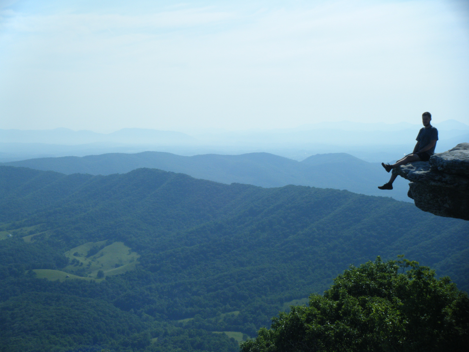
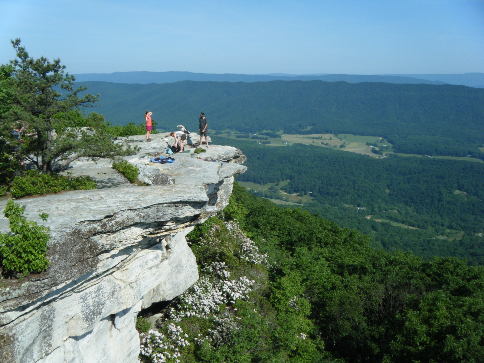
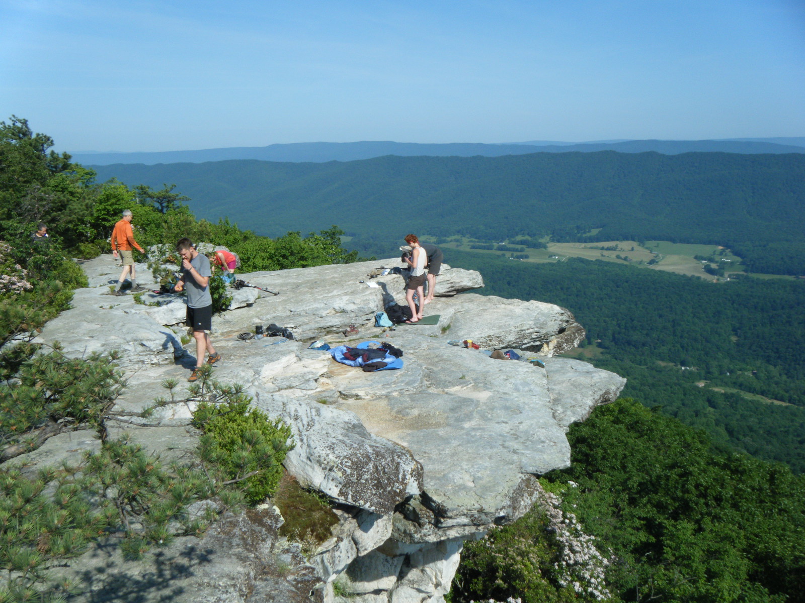
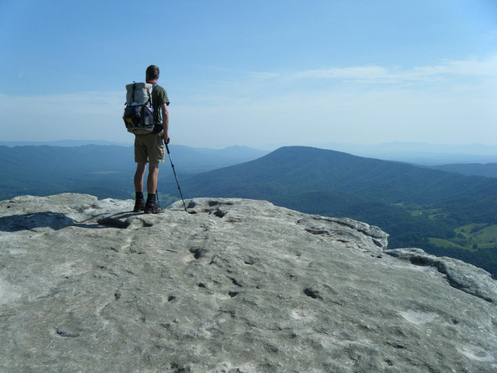
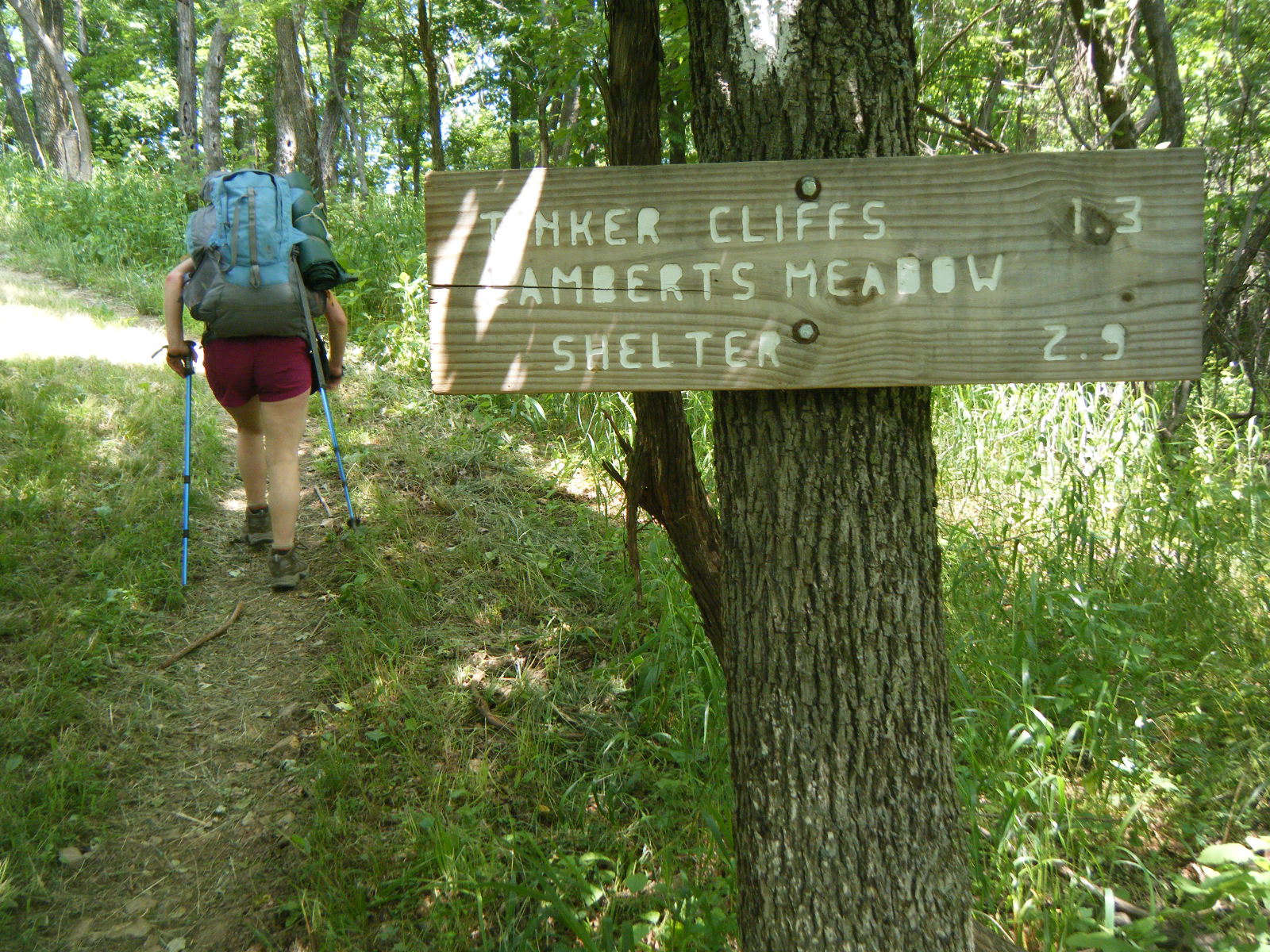
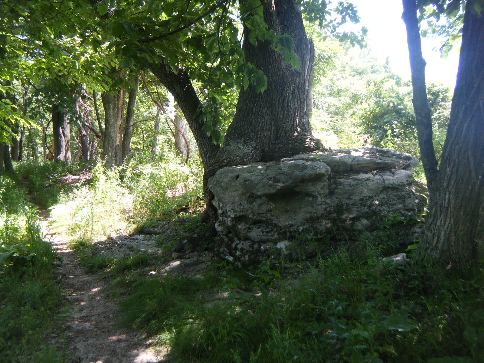
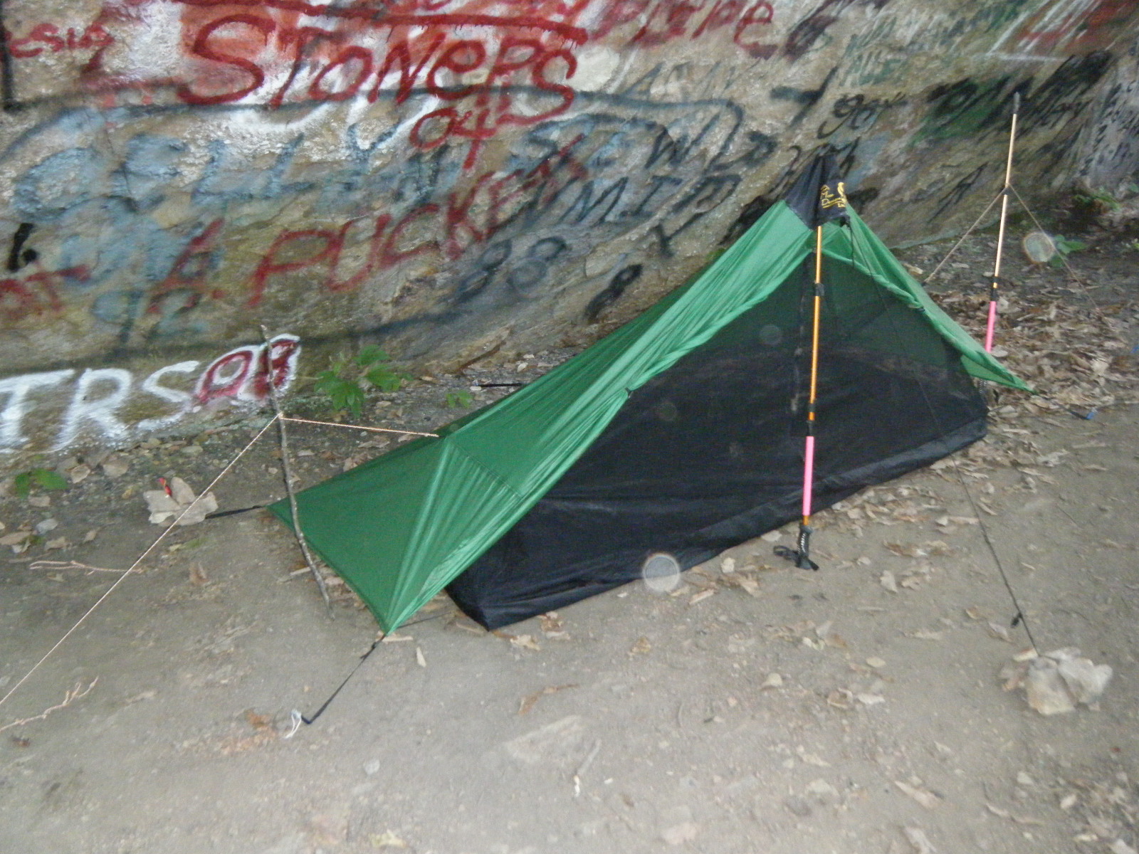
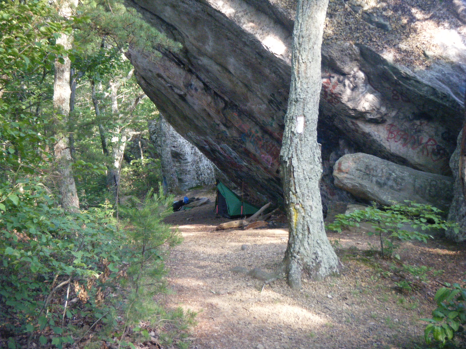
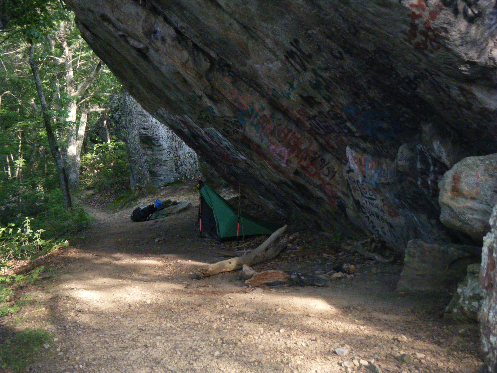
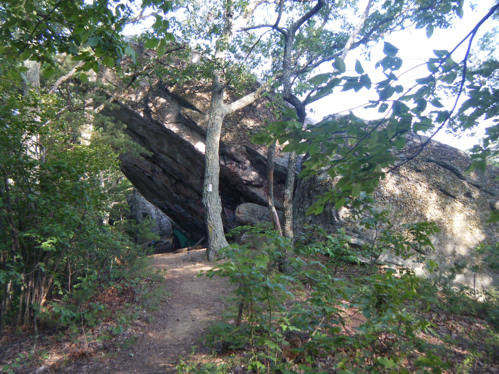
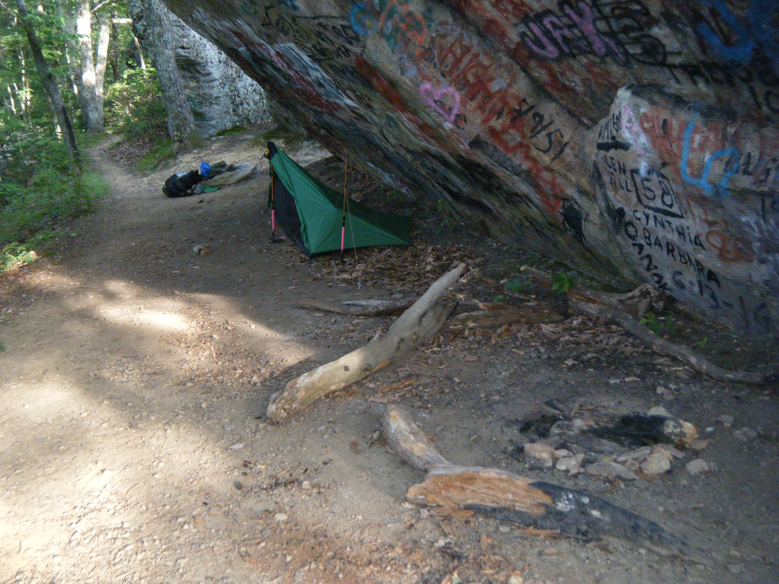
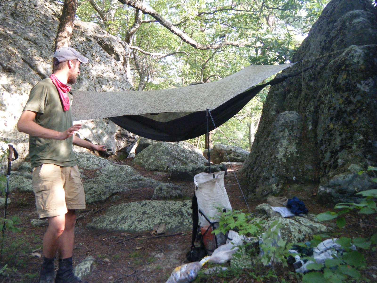
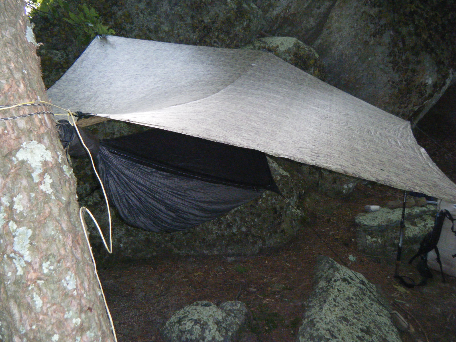
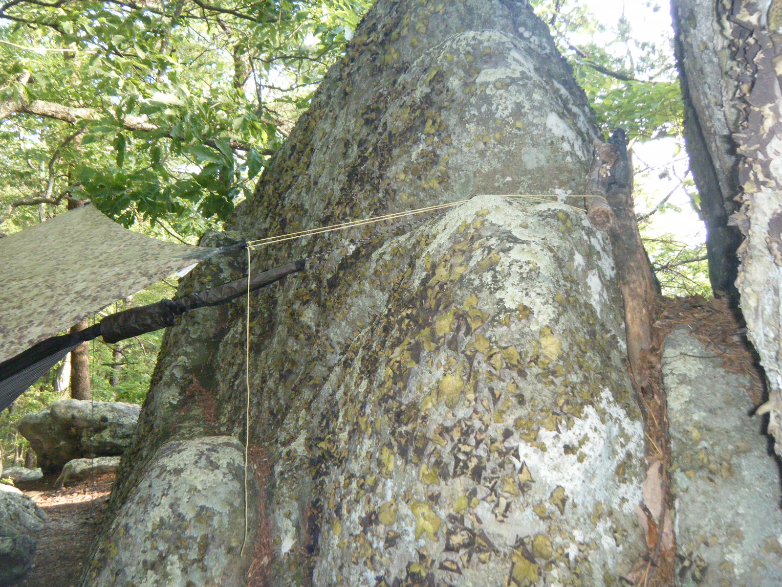
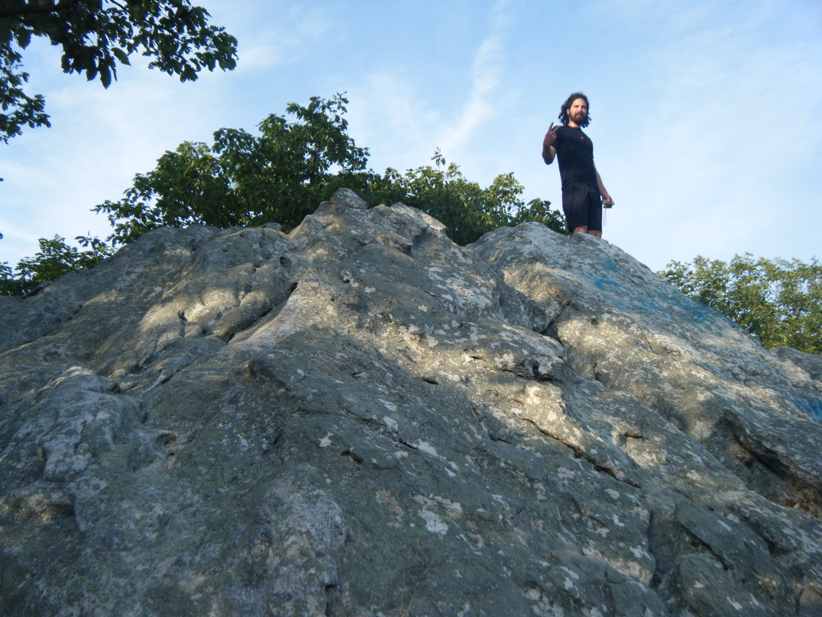
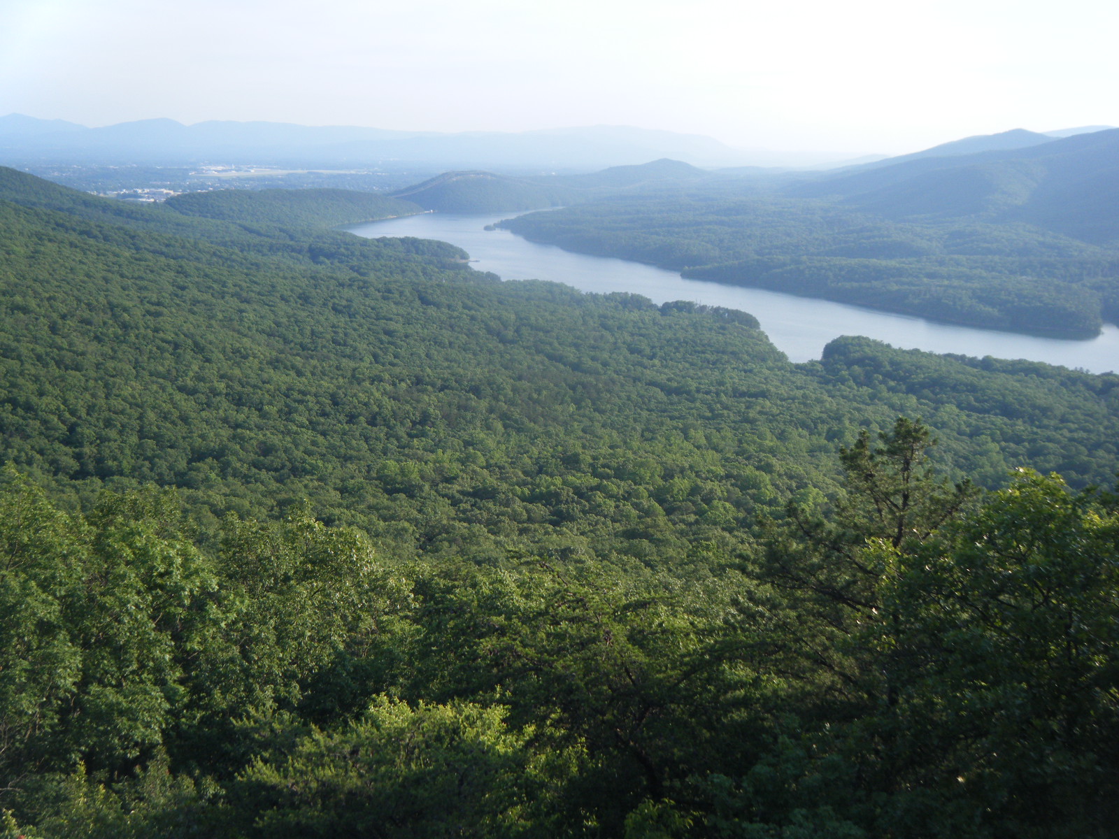
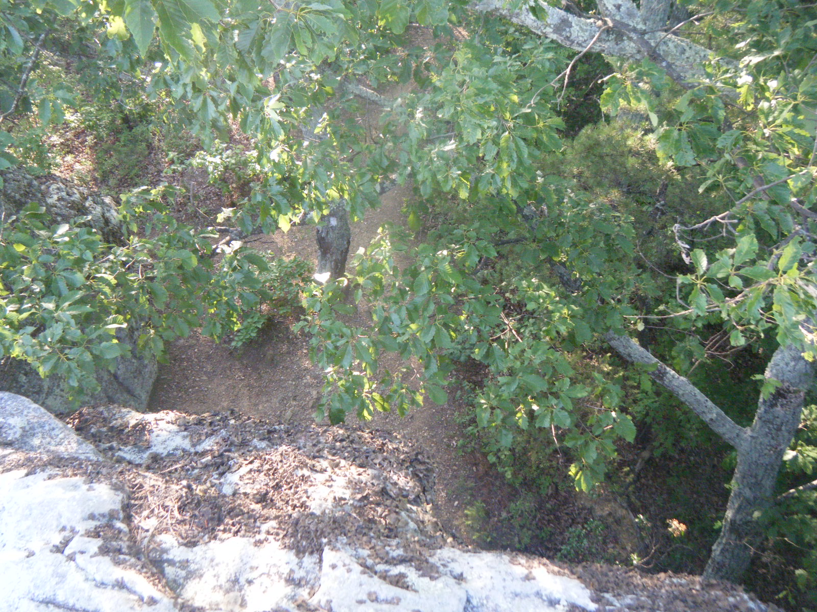
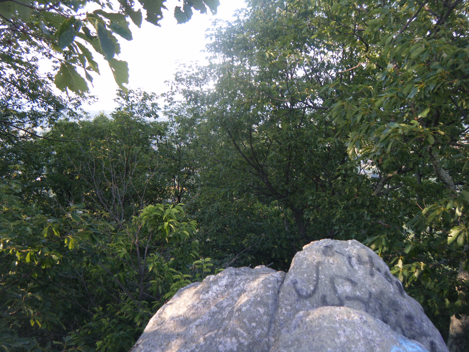
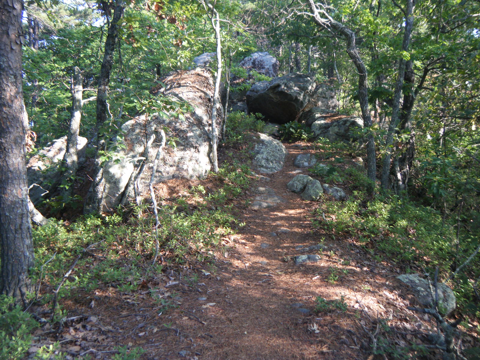
We woke up bright and early Friday at about 5:00am, broke camp, and headed up to McAfee Knob again, this time for the sunrise. We took some great sunrise silhouette photographs, then the group of us (myself, Jackrabbit, Raw Indy, Nate Dog, Pebbles, and Tiara) just sat around on top of the Knob for about 4 hours. A few other hikers (both thru and day variety) came and went, and one of them informed us that when we thought we were on Dragon’s Tooth the previous day, we were actually on a smaller tooth-shaped rock. Dragon’s Tooth was further up the blue-blazed trail and the top is actually above the treeline. I’ll have to be certain to go all the way up the trail next time I thru-hike. Around 10:00am we decided it was getting too hot in direct sunlight, and we were all running low on water, so we moved on. We spent the rest of the day very similarly to the way we started it – very lazily. We somehow managed to cover 13 miles throughout the day, but that mileage was frequently interrupted by long breaks at shelters, at water sources, on a big rock/tree hybrid, at views, everywhere. There were a lot of great views on this stretch, including McAfee Knob, Tinker Cliffs, and a bunch of other random points. Jackrabbit and I ended up camping at Hay Rock. In fact, I camped directly under Hay Rock (see the pictures). We both got pretty inventive making camp, me with my tent and Jackrabbit with his hammock. Once we’d set up camp we climbed up onto Hay Rock to admire the view, and around sunset two hikers we’d met at McAfee Knob rolled in – Guido Blanco and Early Times. They were completely out of water and exhausted, so we gave them half of our water and we all slept at Hay Rock that night, 4 miles from Daleville.
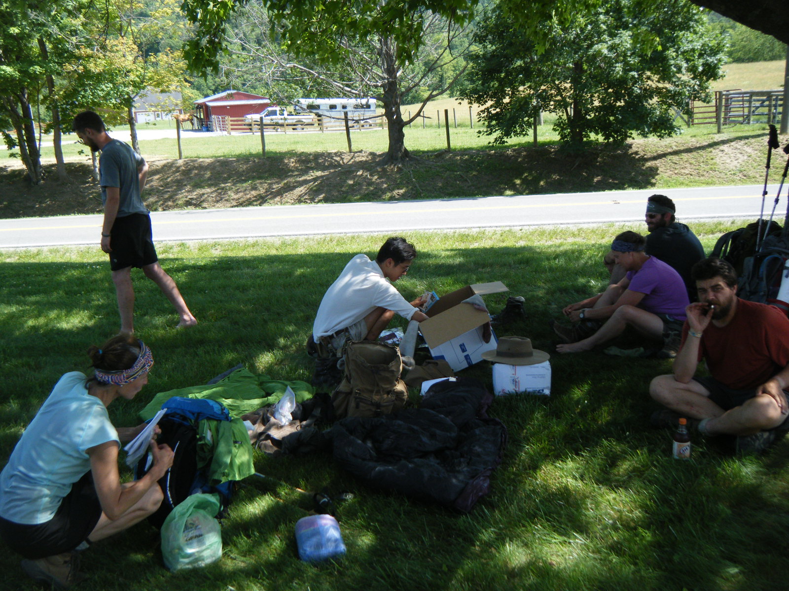
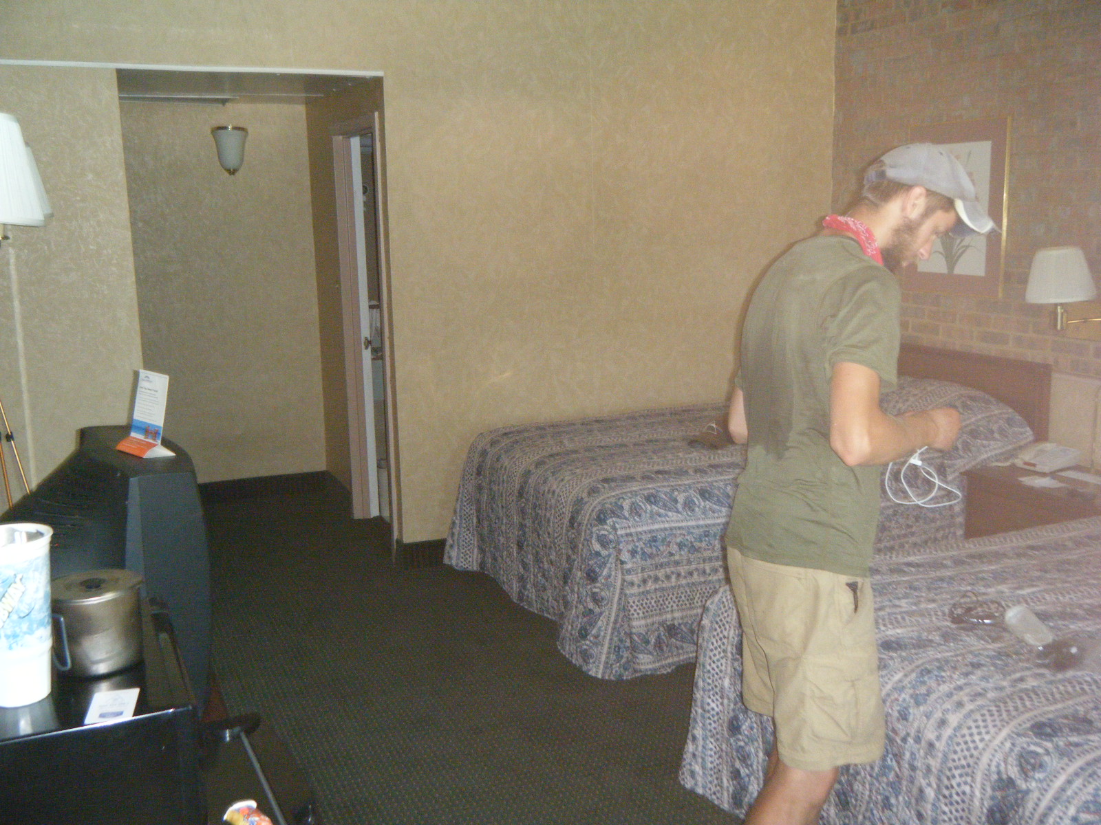
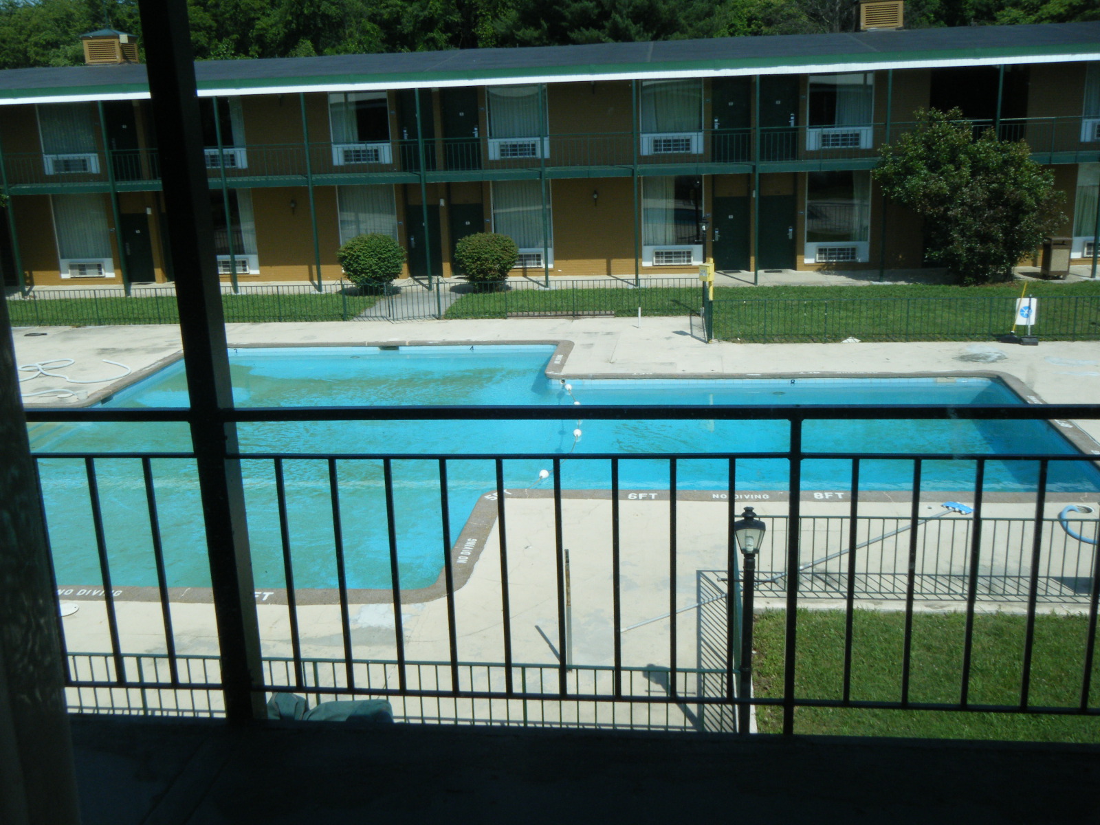
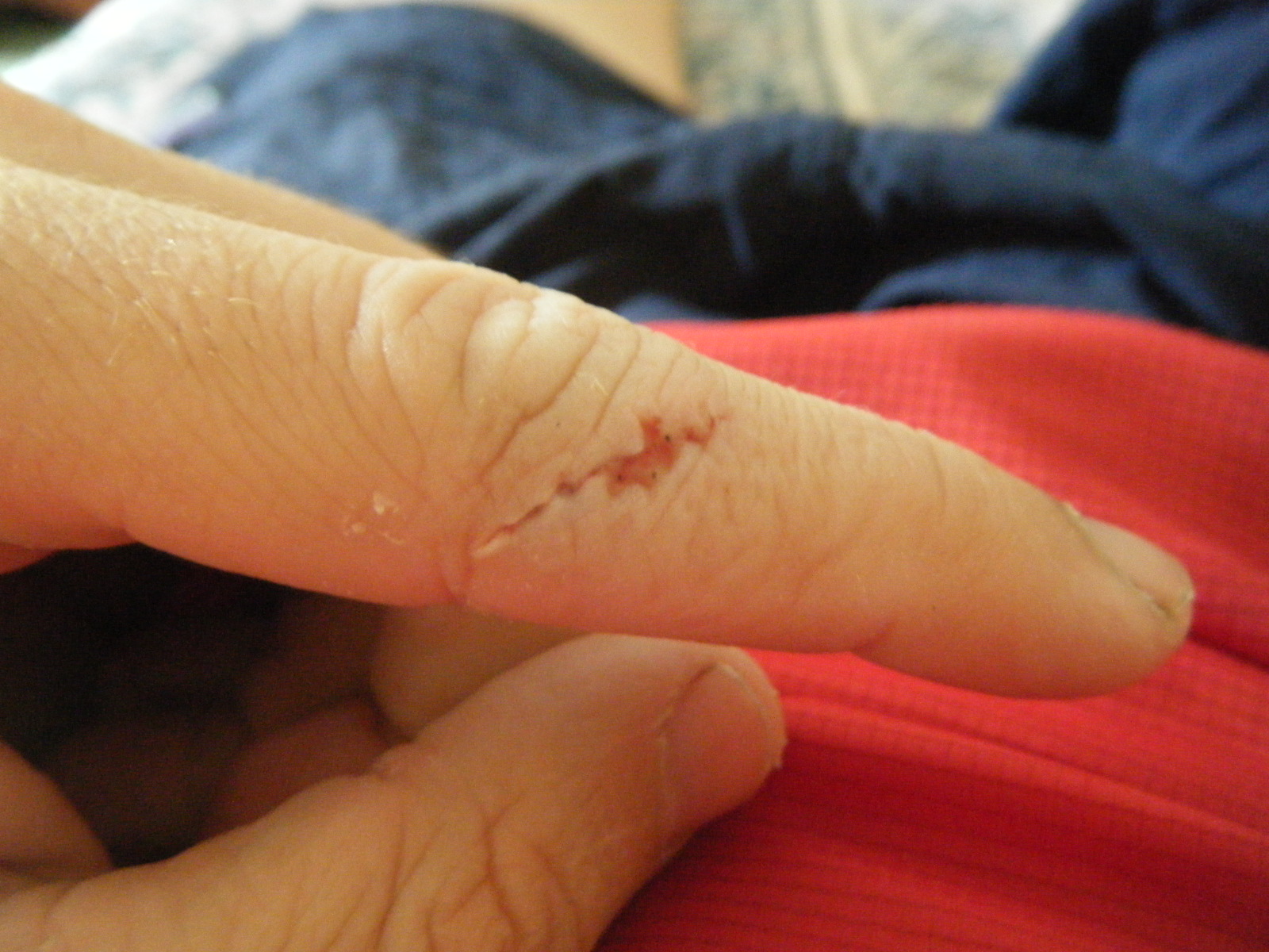
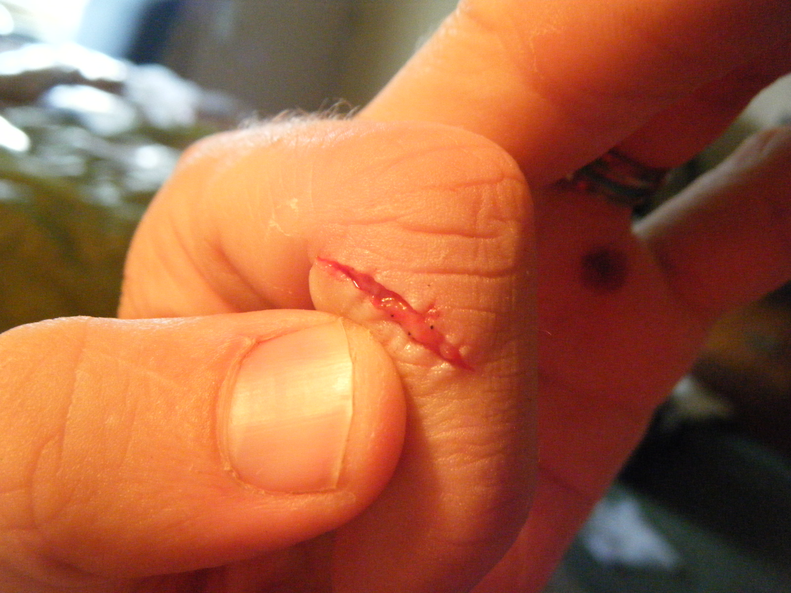
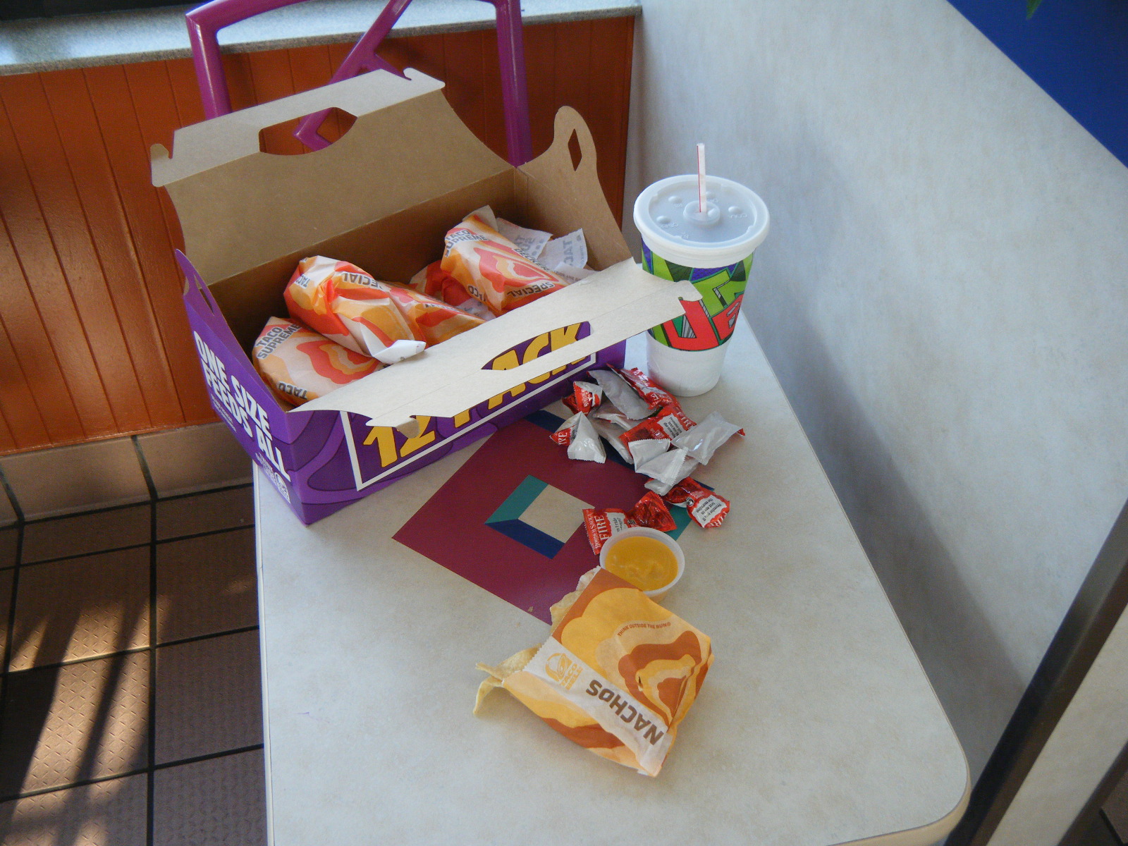
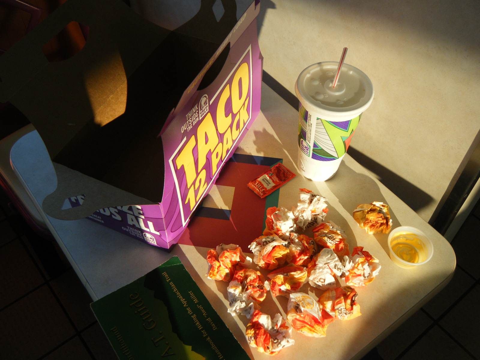
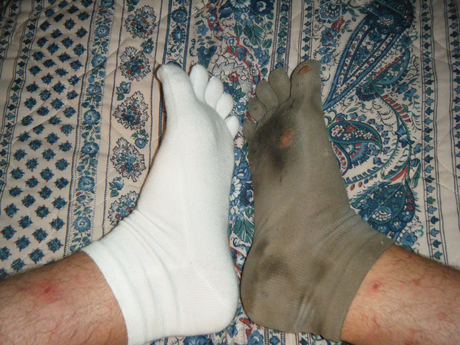
In the morning (Saturday June 4) we hiked 4 miles into Daleville and started running errands. I was a bit thirsty during and after the hike since I’d given away half my water, but I knew I’d make it 4 miles without any serious problems. I’m staying at the Howard Johnson Express, and was able to check in as soon as I arrived. I drank some water in the room then headed to the post office to pick up my mail drops. I didn’t study the map closely enough and walked 1.5 miles before I realized I’d passed it, so I stopped at Subway for a snack (a footlong and 3 cookies), then headed back 0.4 miles. I met my fellow thru-hikers at the post office and they informed me that Blue Collar Joe’s has gourmet donuts and ice cream, and they give free donuts to thru-hikers, so I stopped there for a pint of ice cream and three donuts. I then headed to the outfitter for new socks (the old ones are shot) and a supplementary short-sleeve shirt. Unfortunately they’re not carrying any 55 degree bags right now, so I’m stuck with my 20 degree bag for awhile longer. I then headed to Kroger’s for beer, band-aids, and newskin, then back to the hotel to doctor my finger. When I removed the duct tape and old band-aids, the cut had actually healed up quite a bit already. I glued it closed with the newskin and put a large band-aid over the whole thing – it’s pretty solid now. Jackrabbit and I then headed to Taco Bell (FINALLY), where I ate 12 hardshell tacos, 1 nachos with cheese, and a large Dr Pepper (2820 calories in 20 minutes). After dinner we retired to the hotel where we’re doing laundry and I wrote this.
Tomorrow I’m grocery shopping and relaxing. Monday I’m picking up a camera battery from the post office and heading back onto the trail. I’ve lost some weight – I’m down to 155 lbs.
Fun story: Pickles was at a shelter near the privy when she saw a creature of some sort kind of flailing its arms in the air. She ran back to the shelter and asked everyone if there are monkeys out here. Everyone assured her that there are no monkeys, and she must have seen a bear. Fearing that a bear was trying to get the bearbags, everyone grabbed their flashlights and rushed out to the bear cables making a commotion to scare the bear away. What they found was not a bear, but a fellow hiker named Blackfoot who was having difficulties hanging his own bearbag. Pickles keeps things interesting.

Just when I think it can’t get any more beautiful, it does. And your writing gets better every time. I love love love this and you!
I got the drift 1st the BLOOD,then the food,then the socks.Yes I can see you did new socks!!!! I am so happy that you have meet so many friends.I am not surprise that you have some FANS there on the AT for you have a lot of FANS here at home.Just keep up the good pictures & the message.We all look forward to reading them.Take care & watch the knife!!!! till the next time love grandma & pa
there are some great shots here floyd. good work. and thanks for the shot of me on McAfee Knob. came out great.