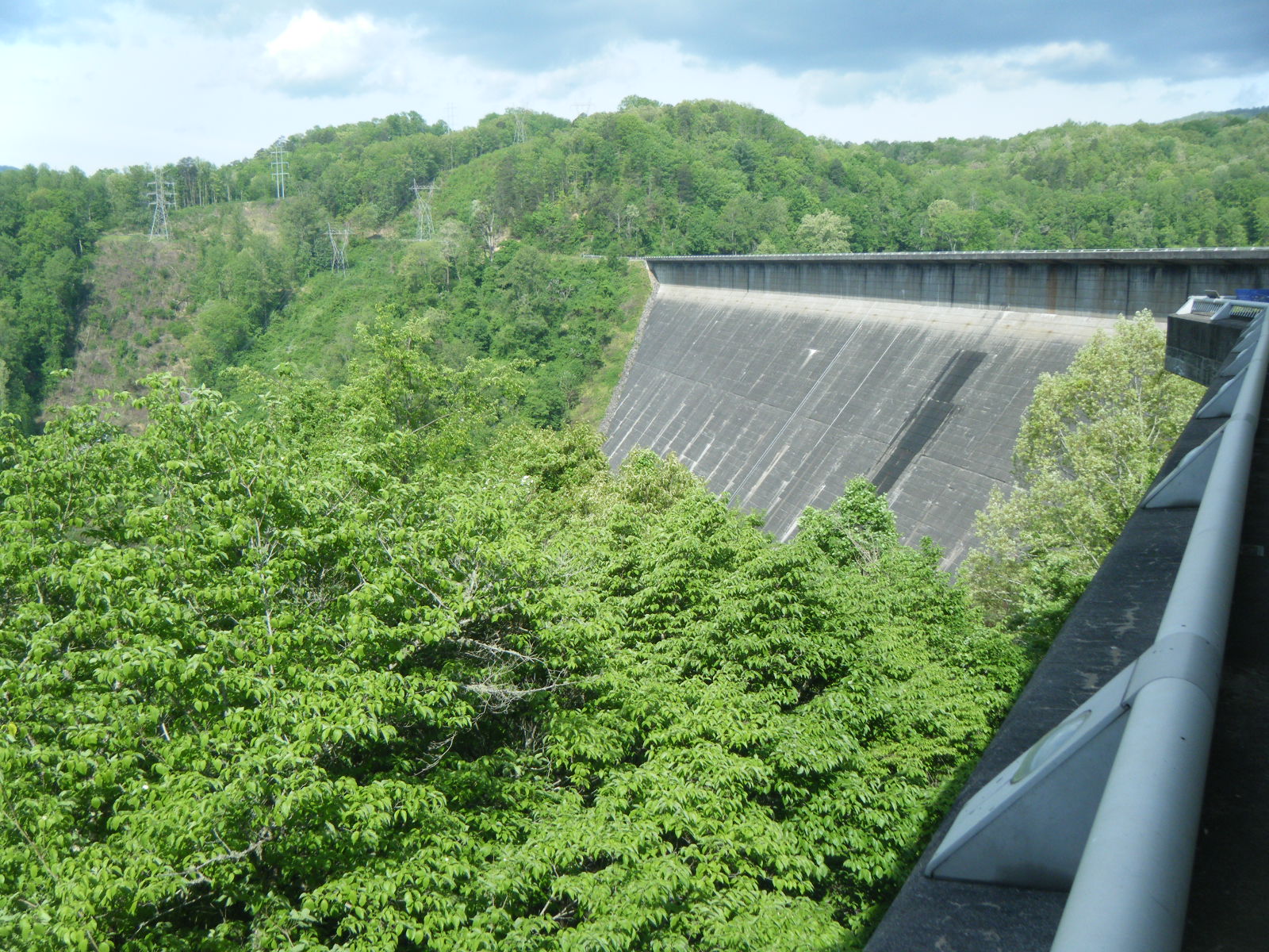
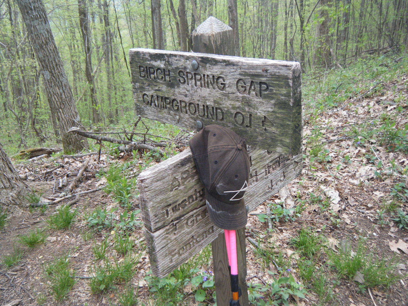
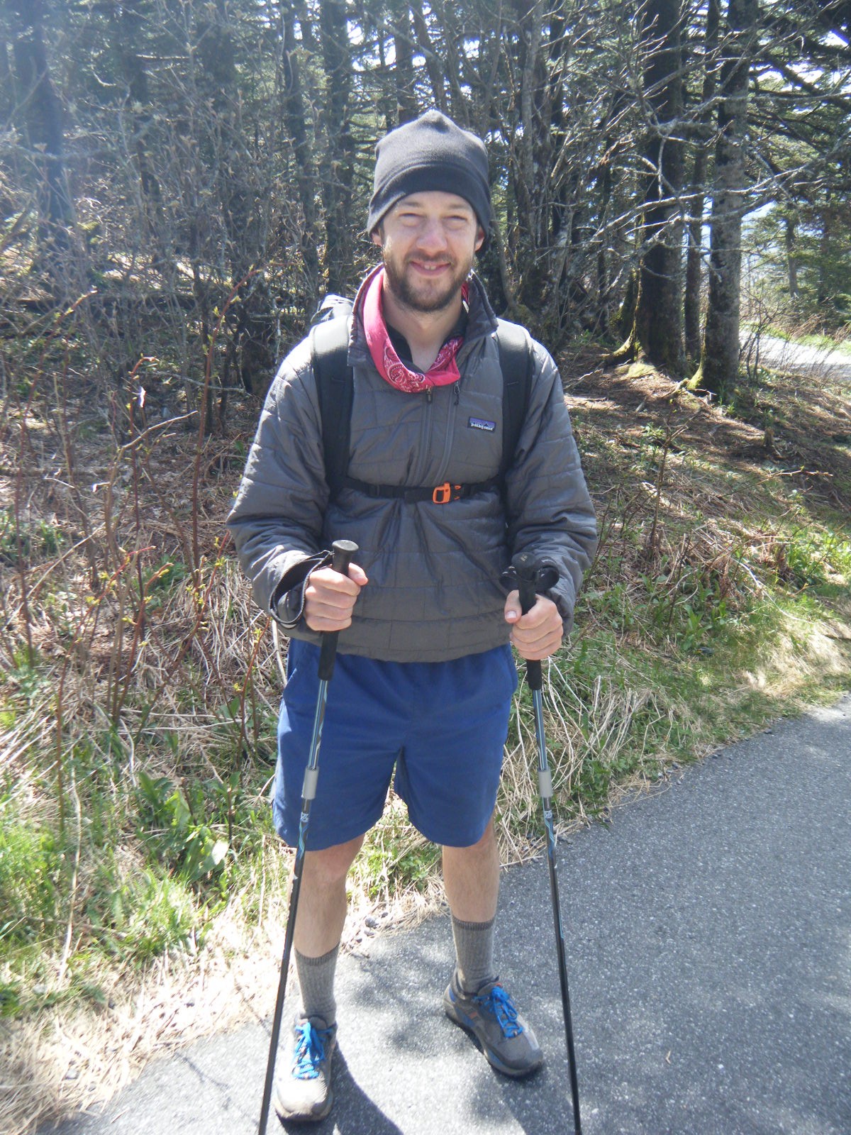
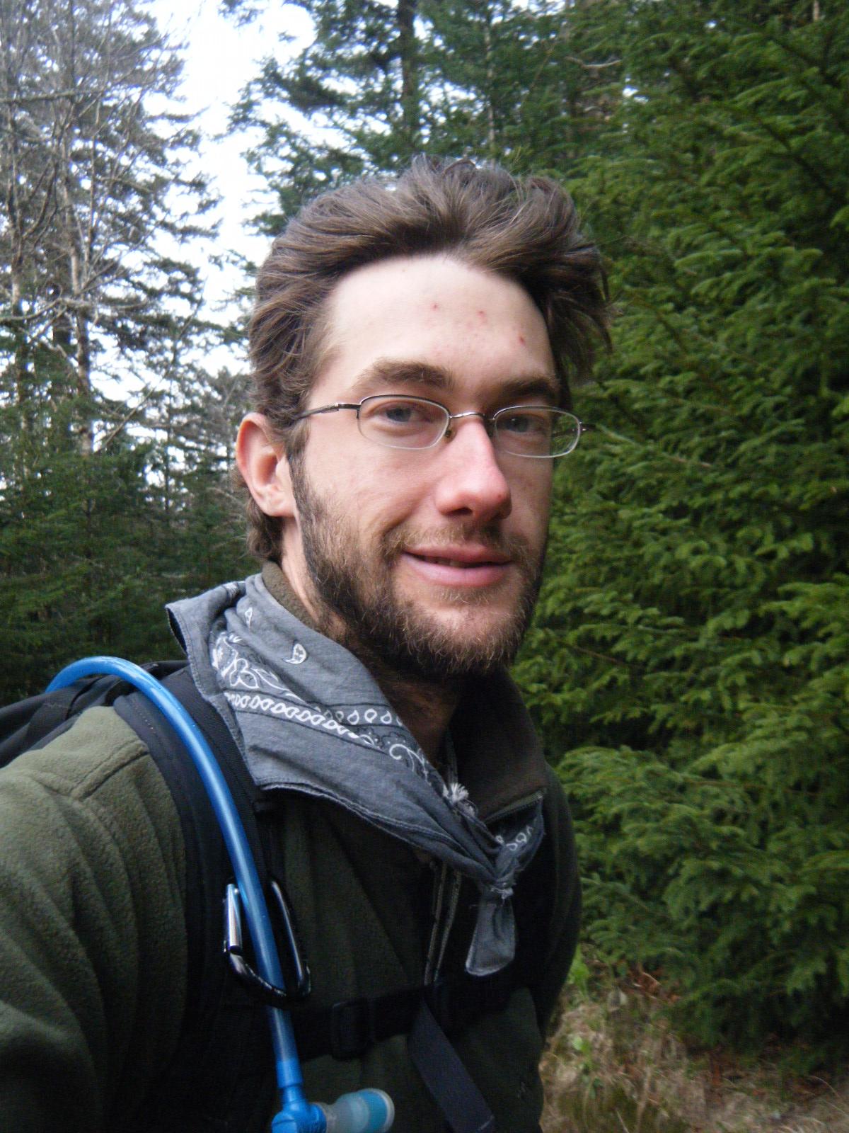
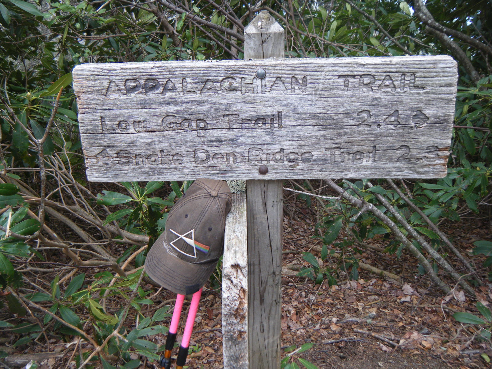
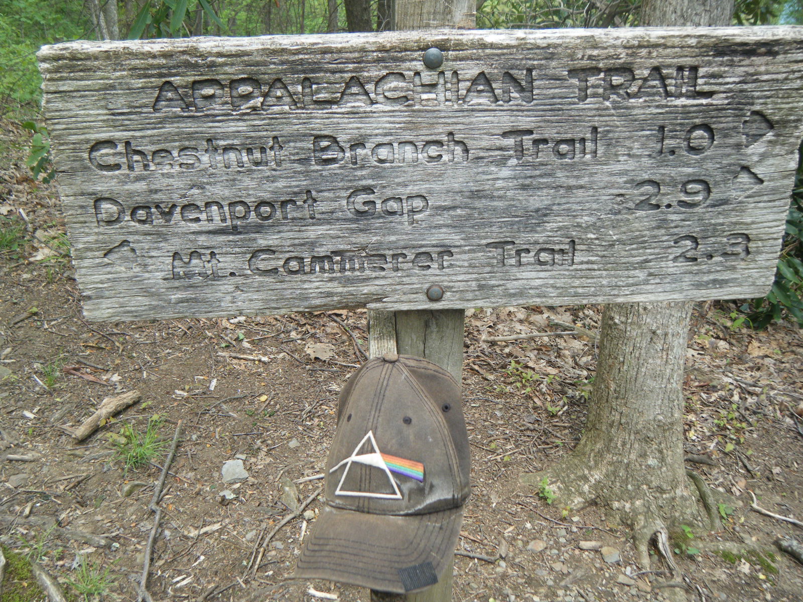
Upon reaching Fontana Dam, I called for a shuttle. I then waited 30 minutes, and called again to inquire where this shuttle might be. I then waited 15 more minutes, at which point I walked 2 miles to Fontana Village. Given the inconvenience of waiting and of walking, I had no problem asking the shuttle in the morning to take me to the visitor’s center rather than the spot where it should have picked me up the previous day. This means I skipped a solid 1.8 miles of AT. Condemn me if you wish. Personally, I don’t care. I did however miss the Fontana Hilton completely, and would have liked to see that shelter. From what I hear however, it’s the same as all the other shelters, just with running water and electrical outlets.
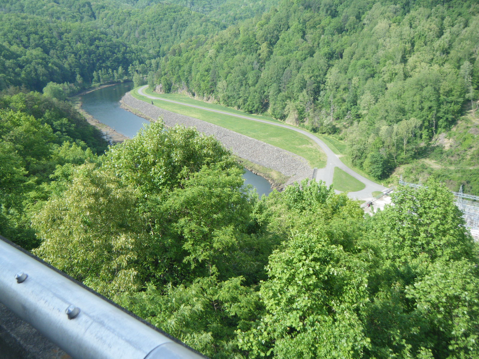
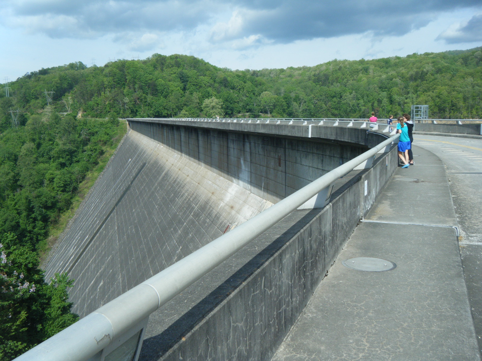
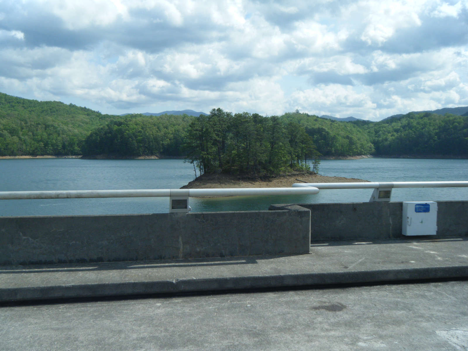
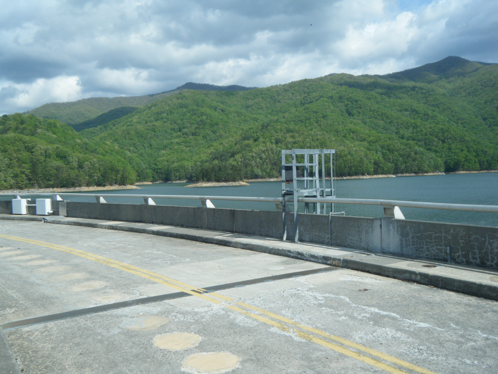
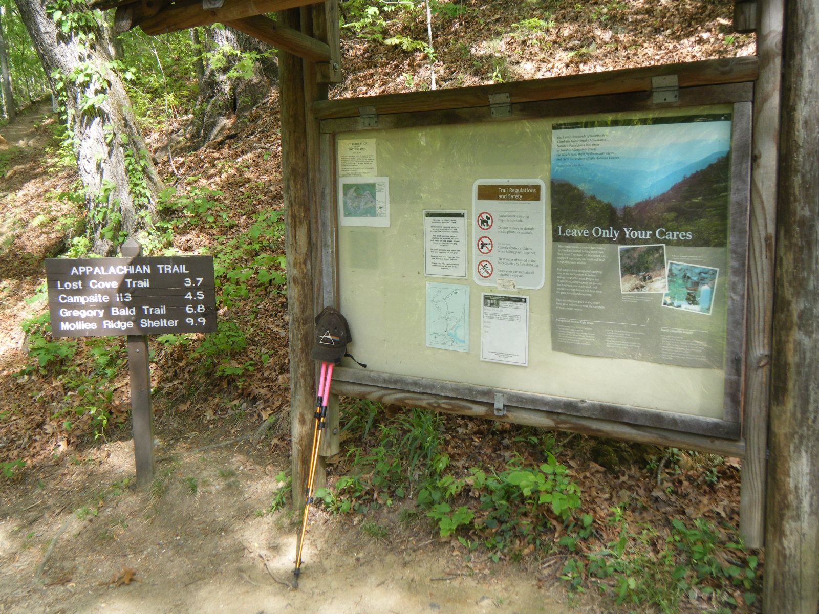
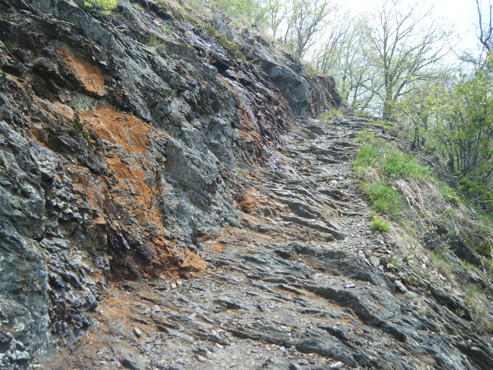
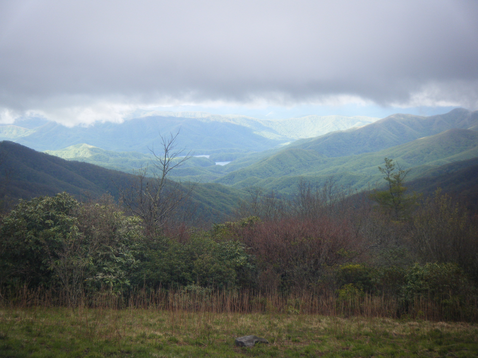
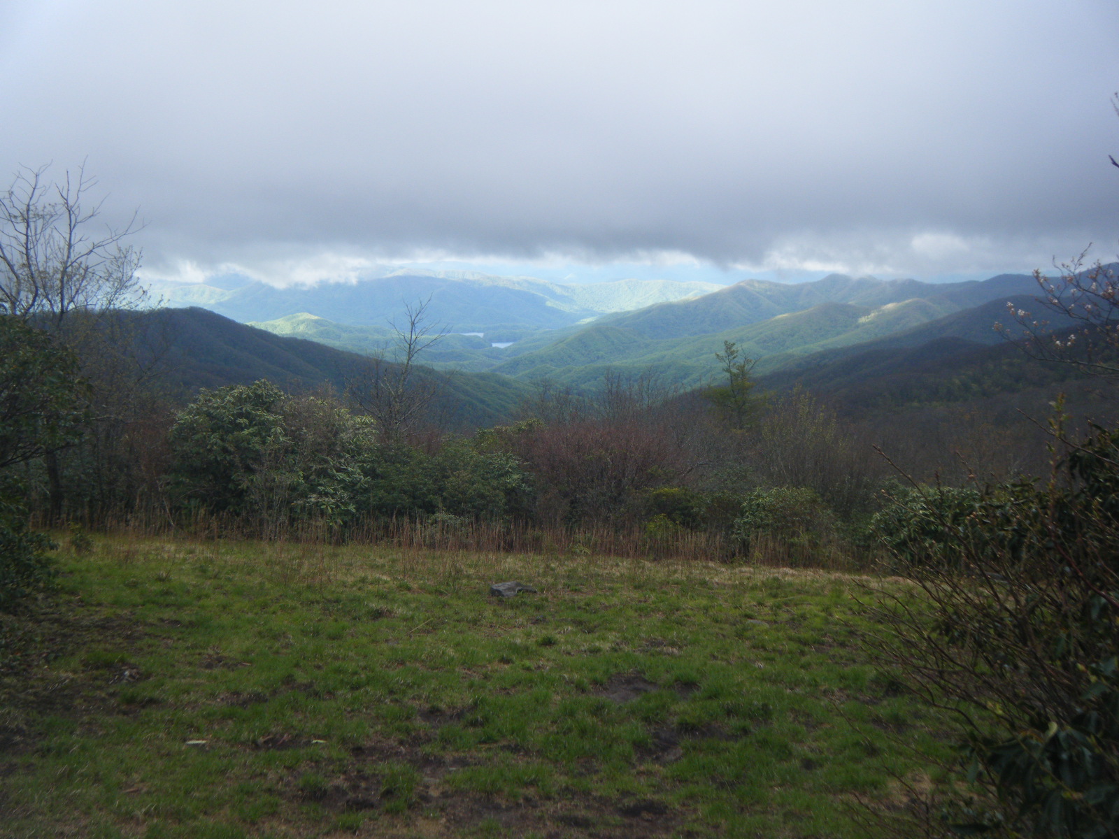
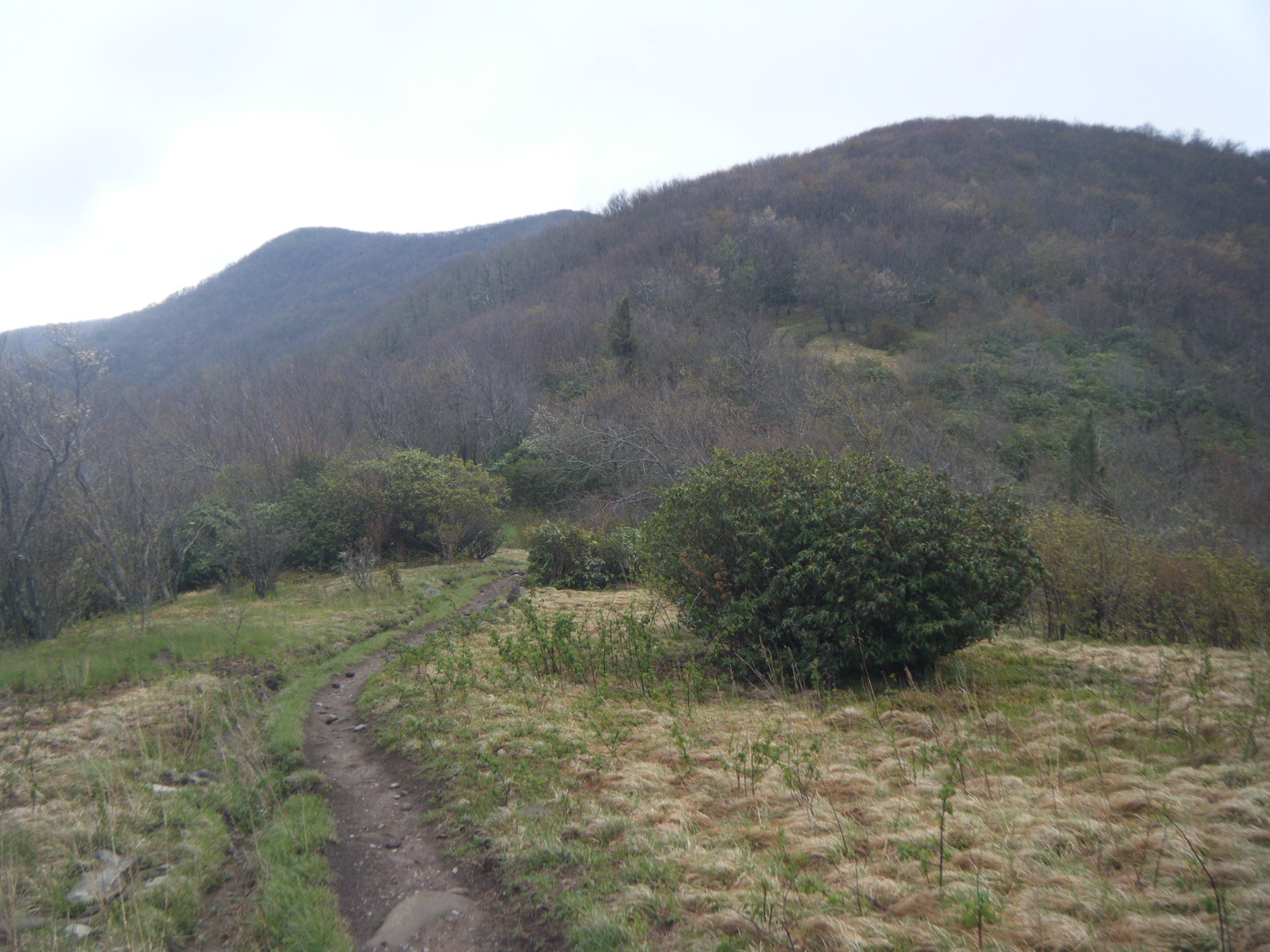
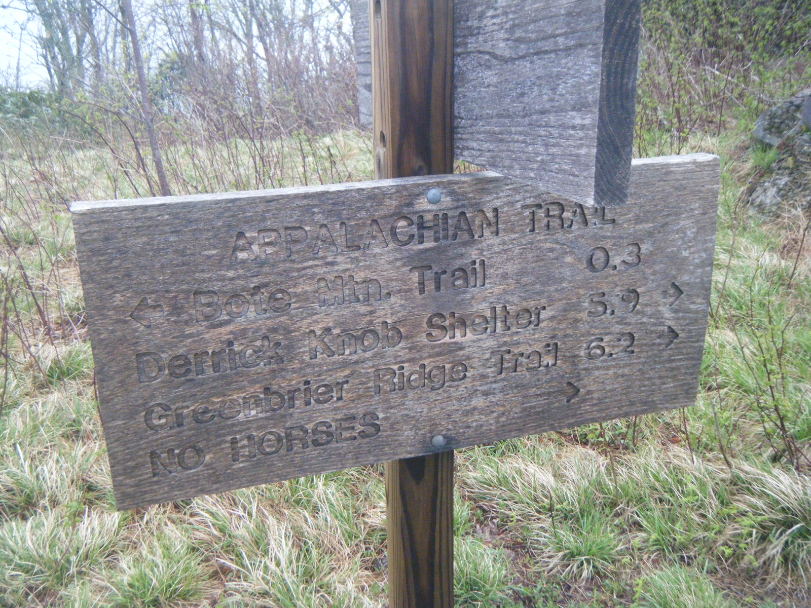
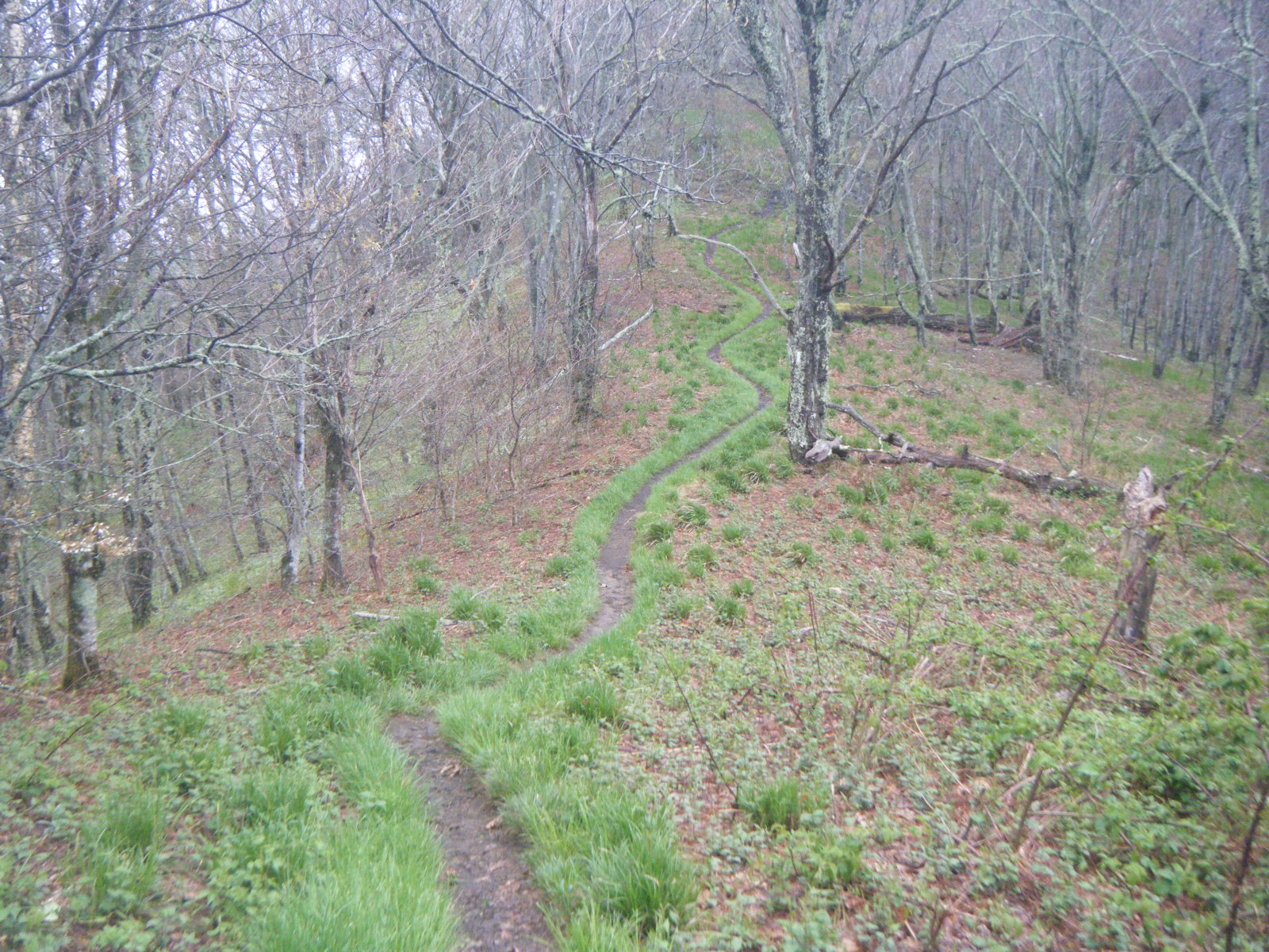
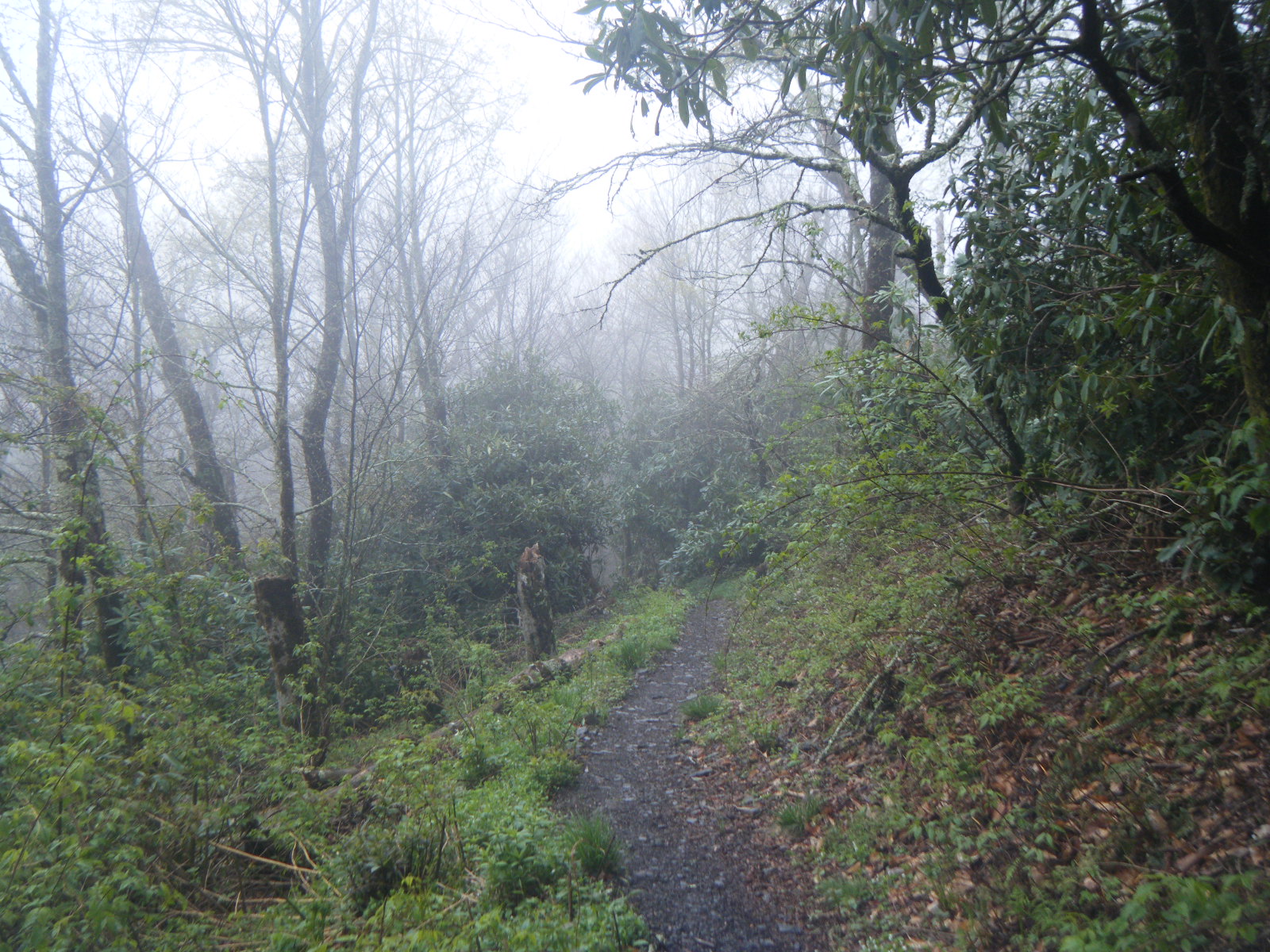
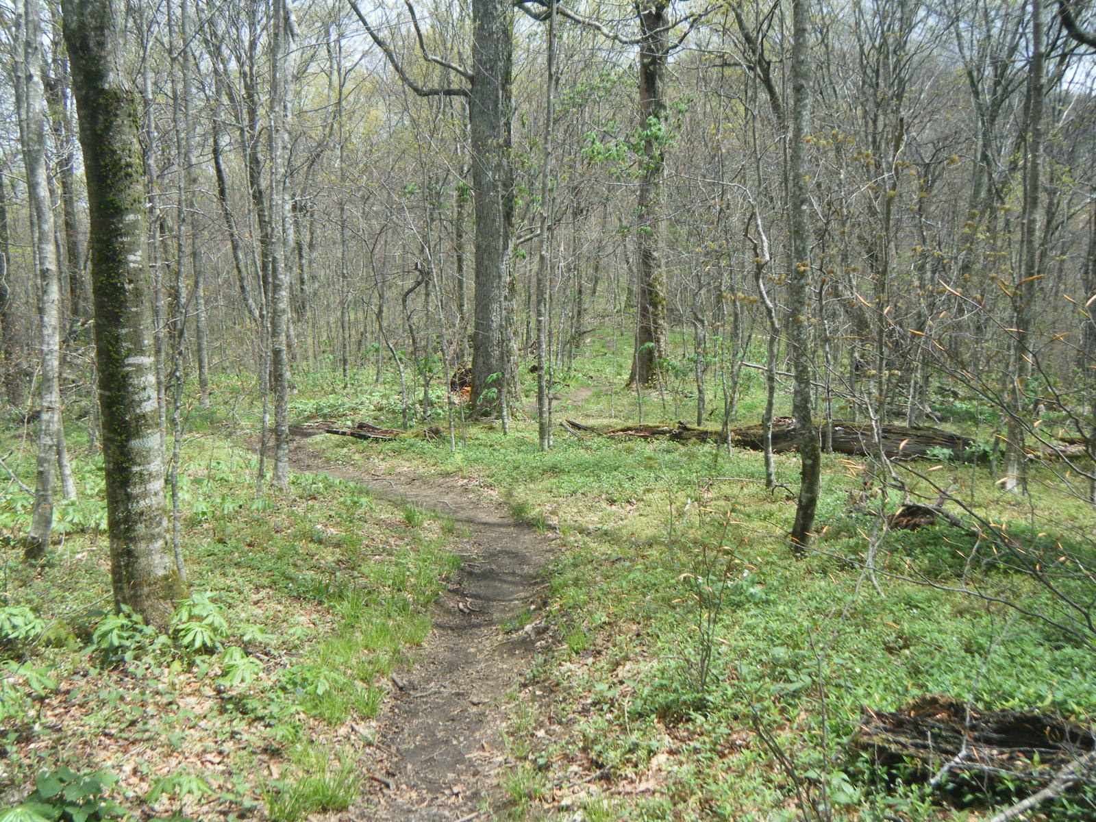
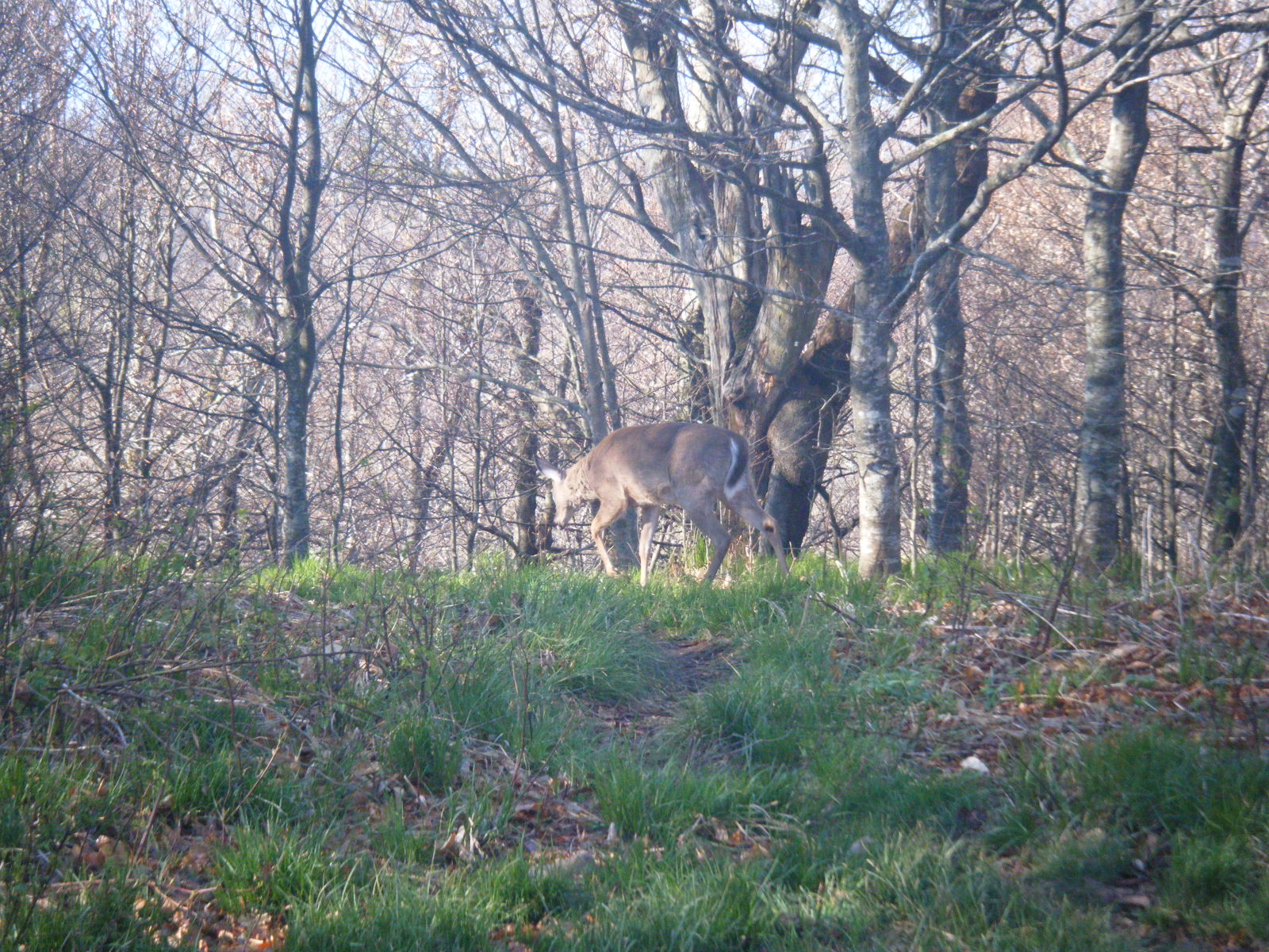
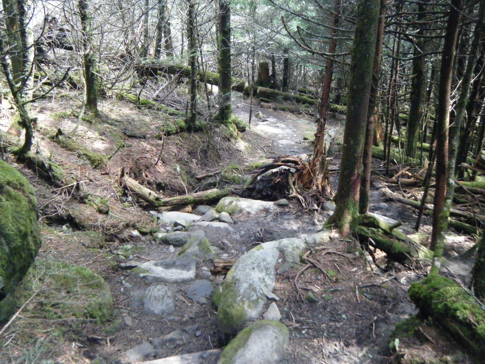
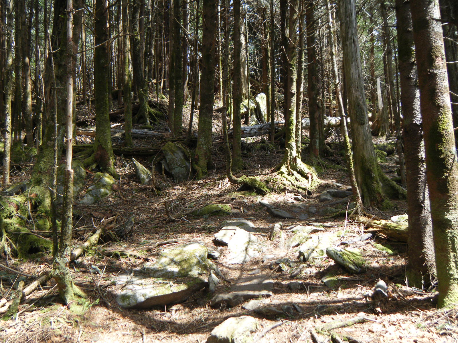
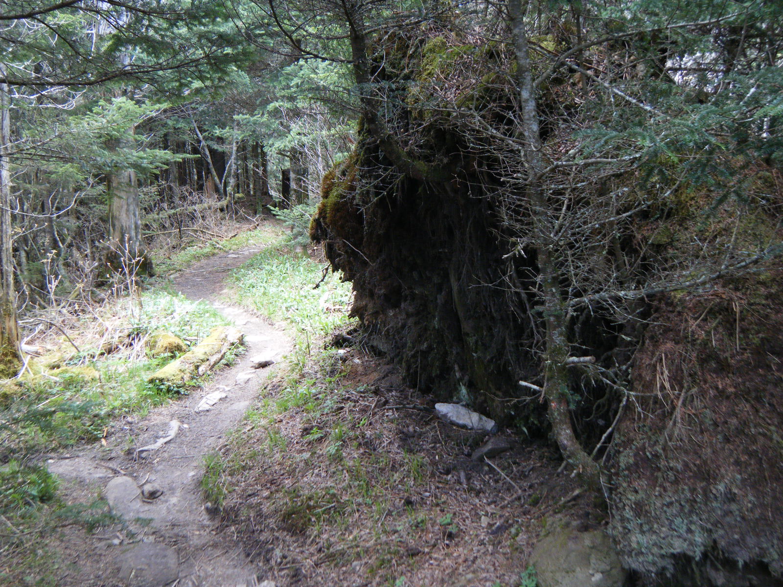
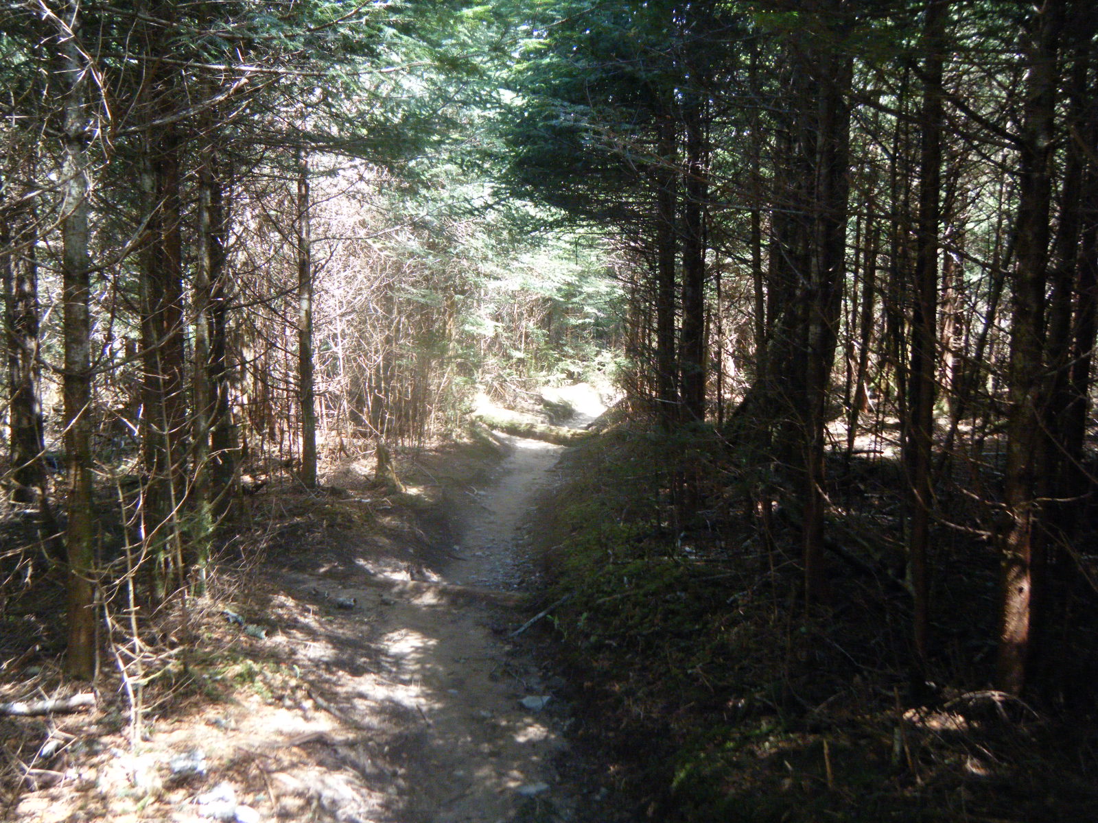
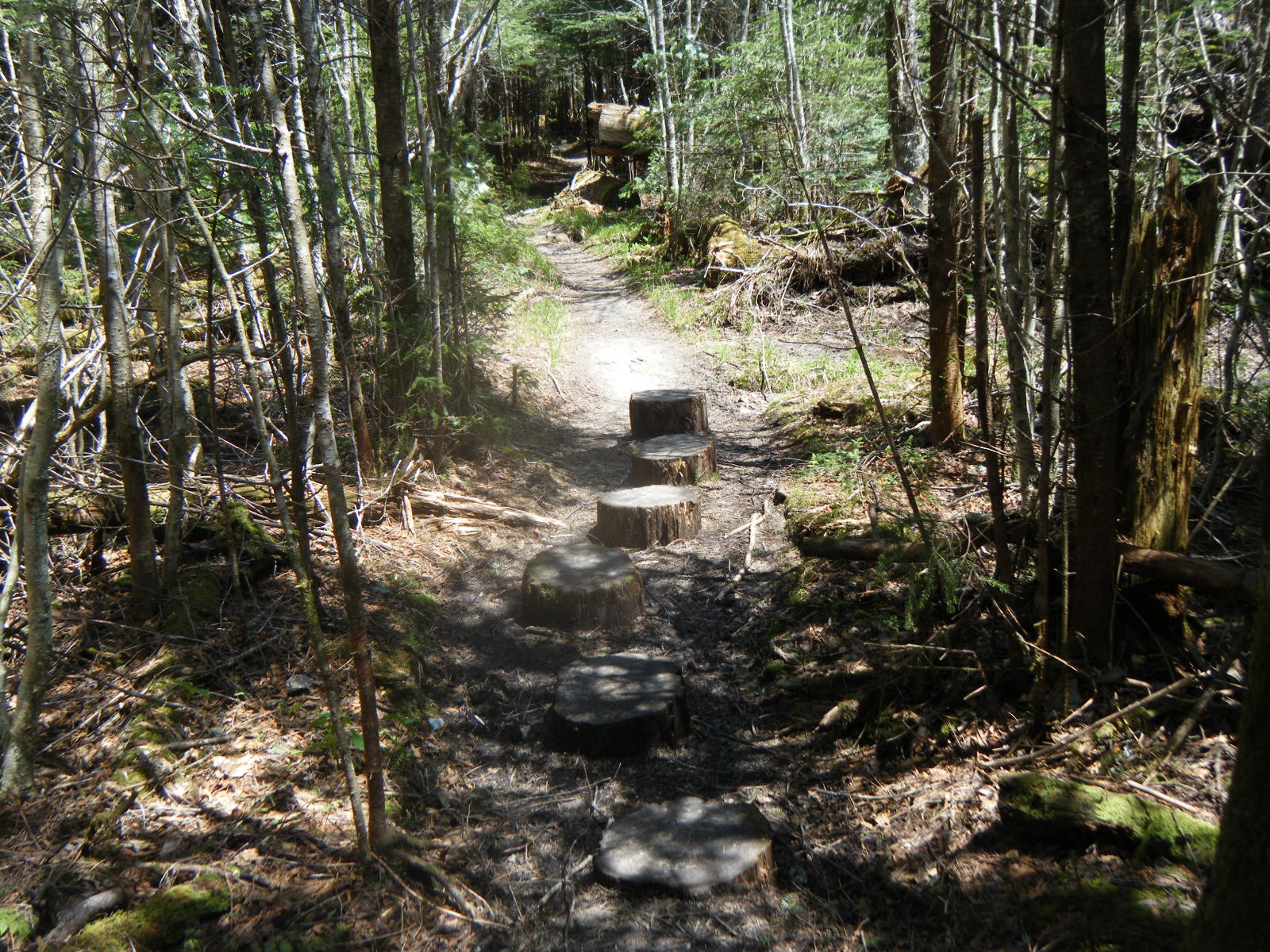
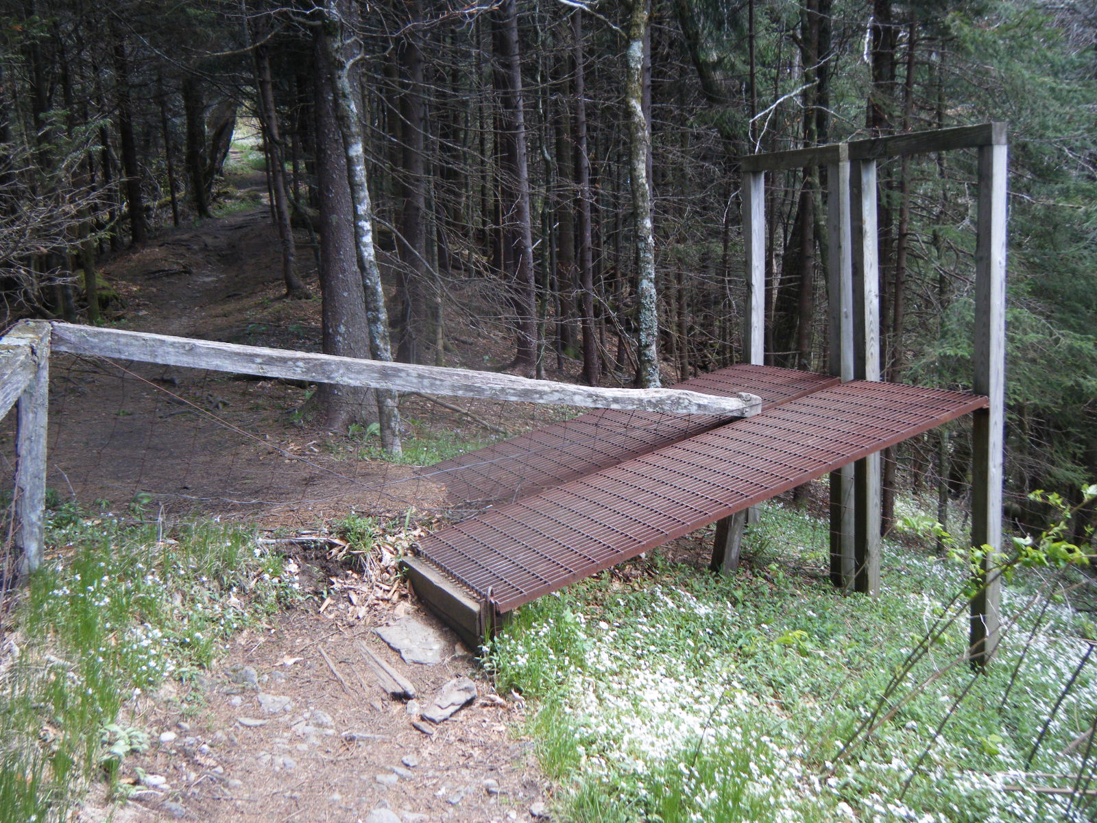
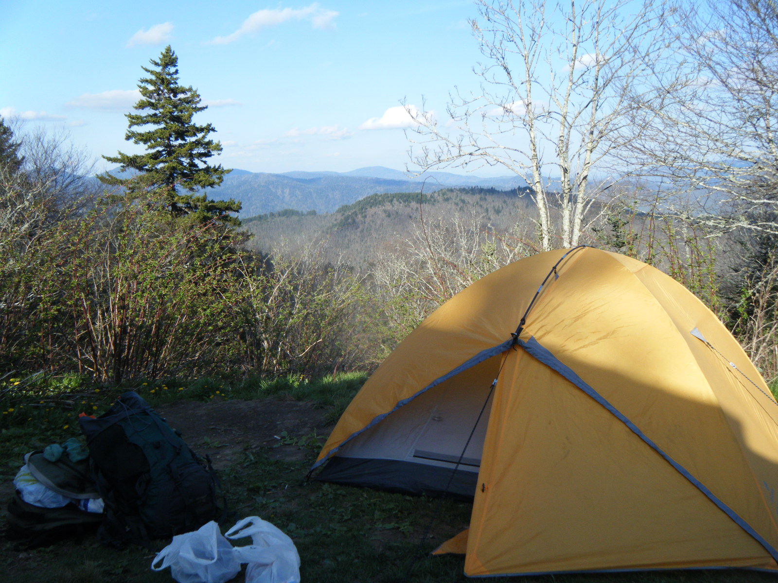
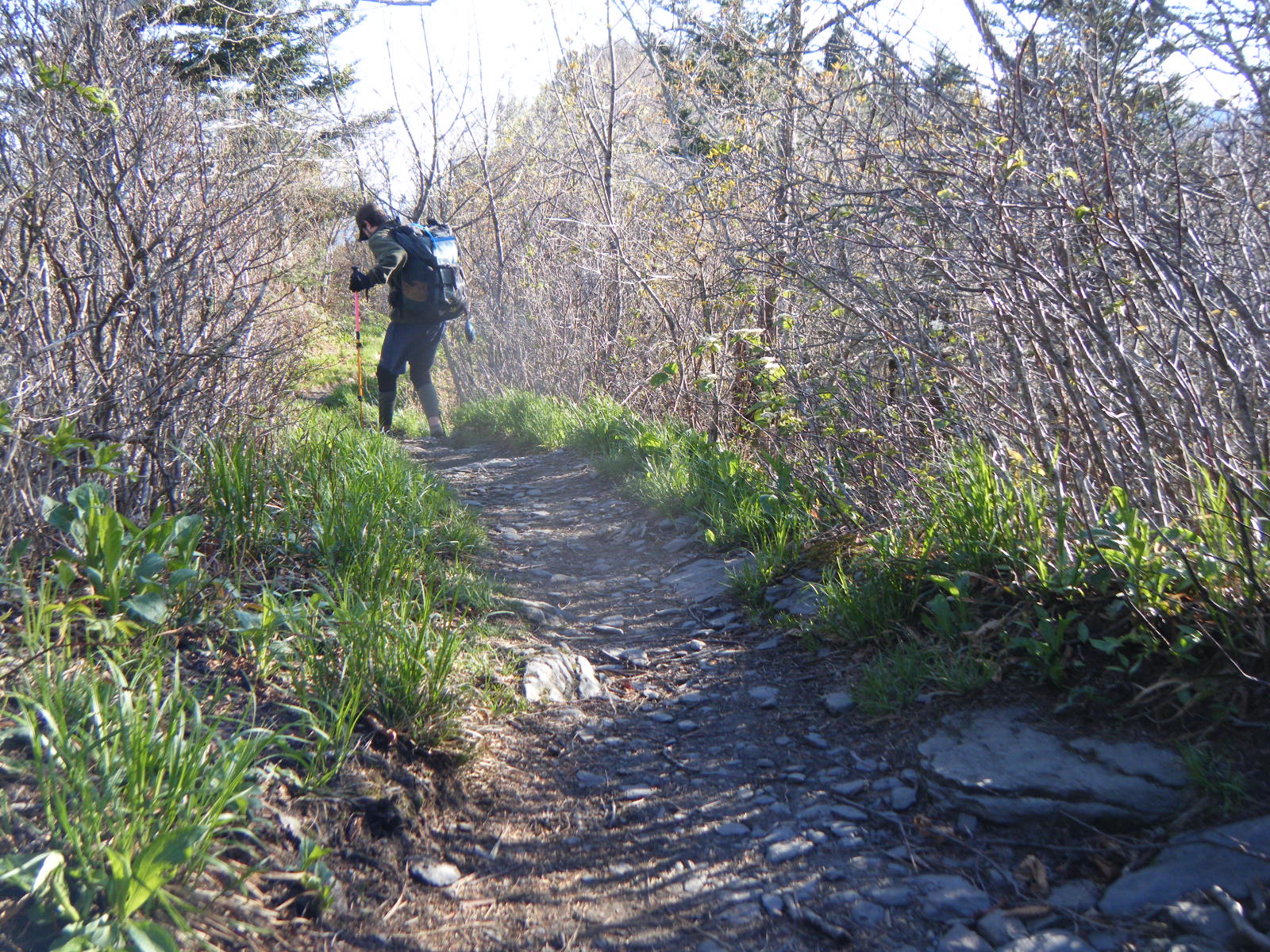
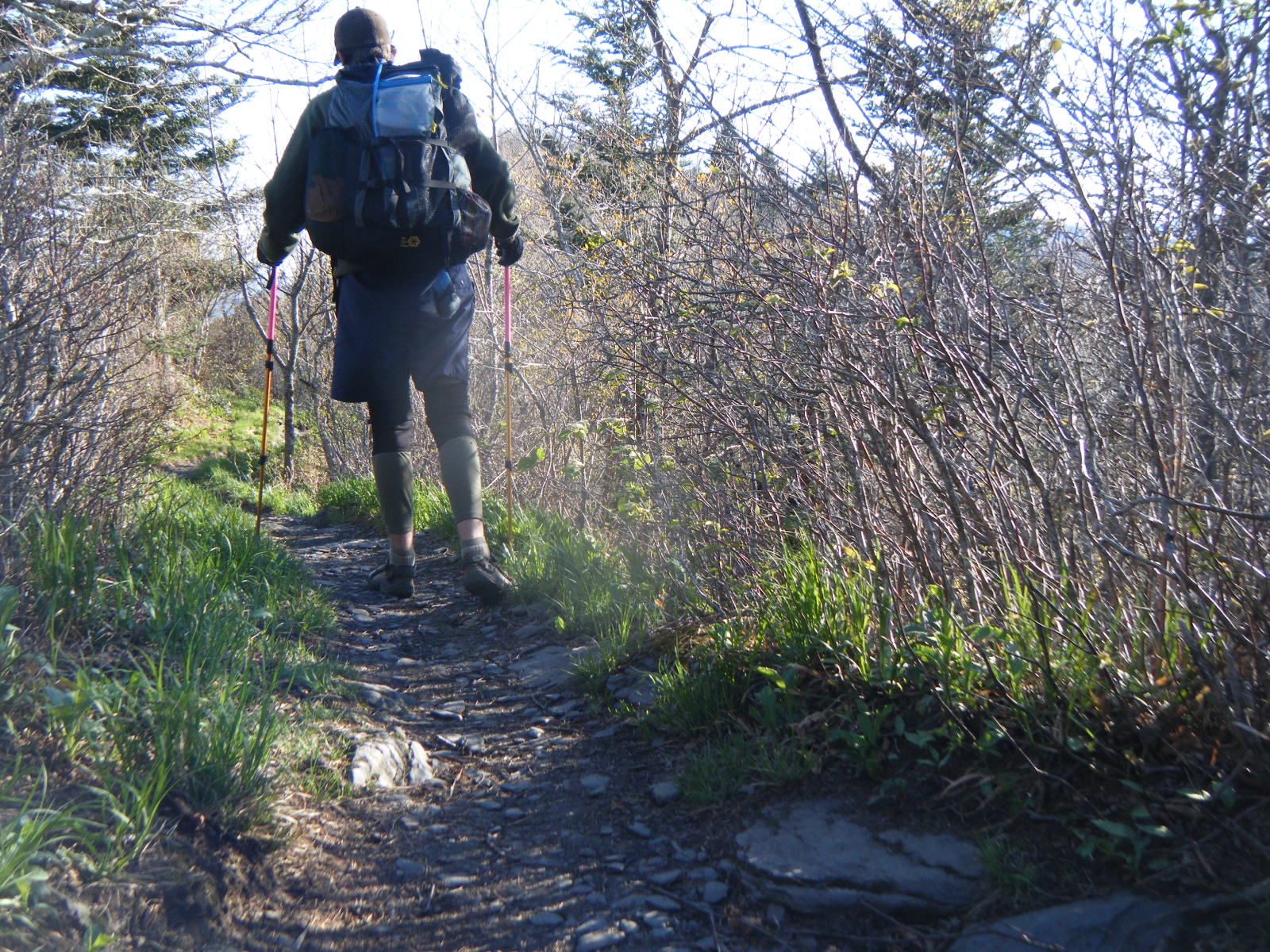
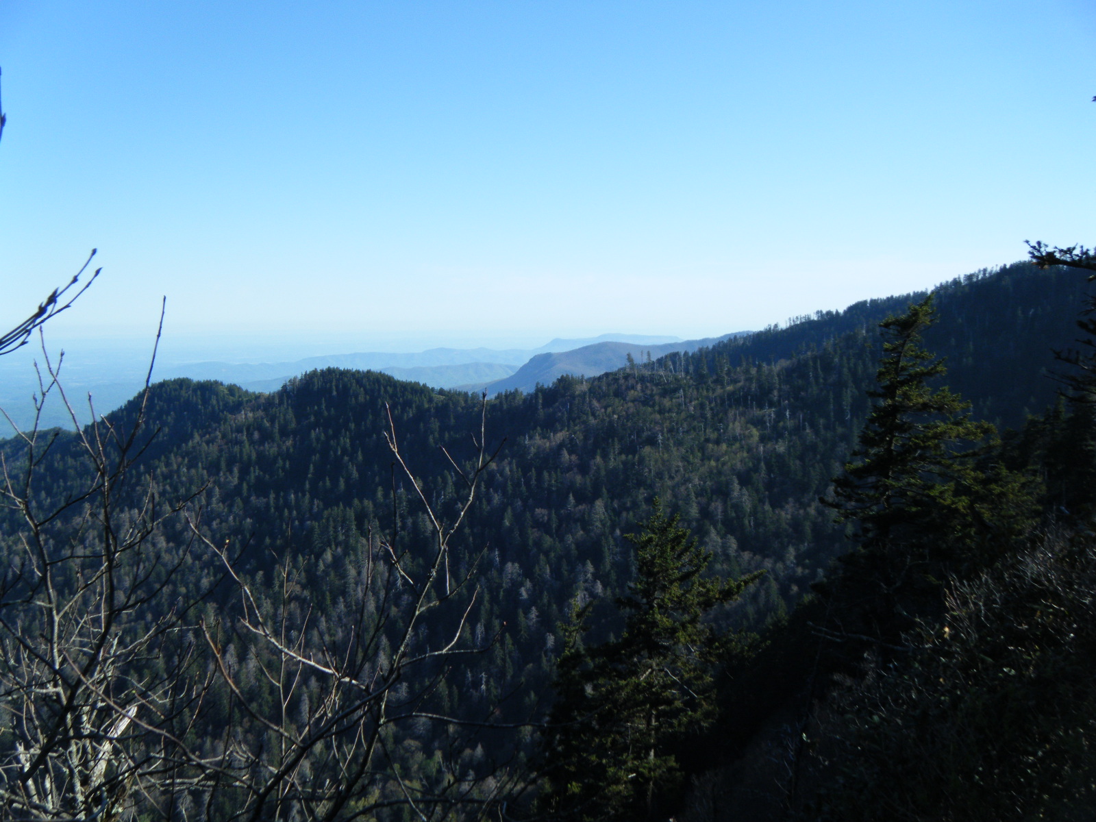
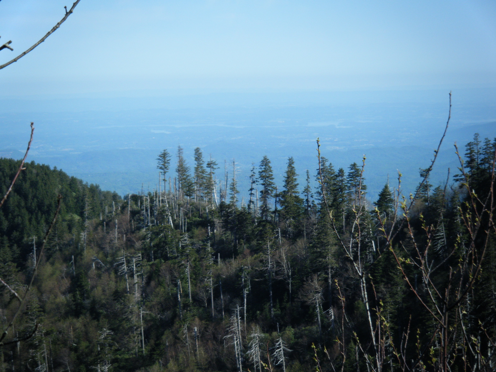
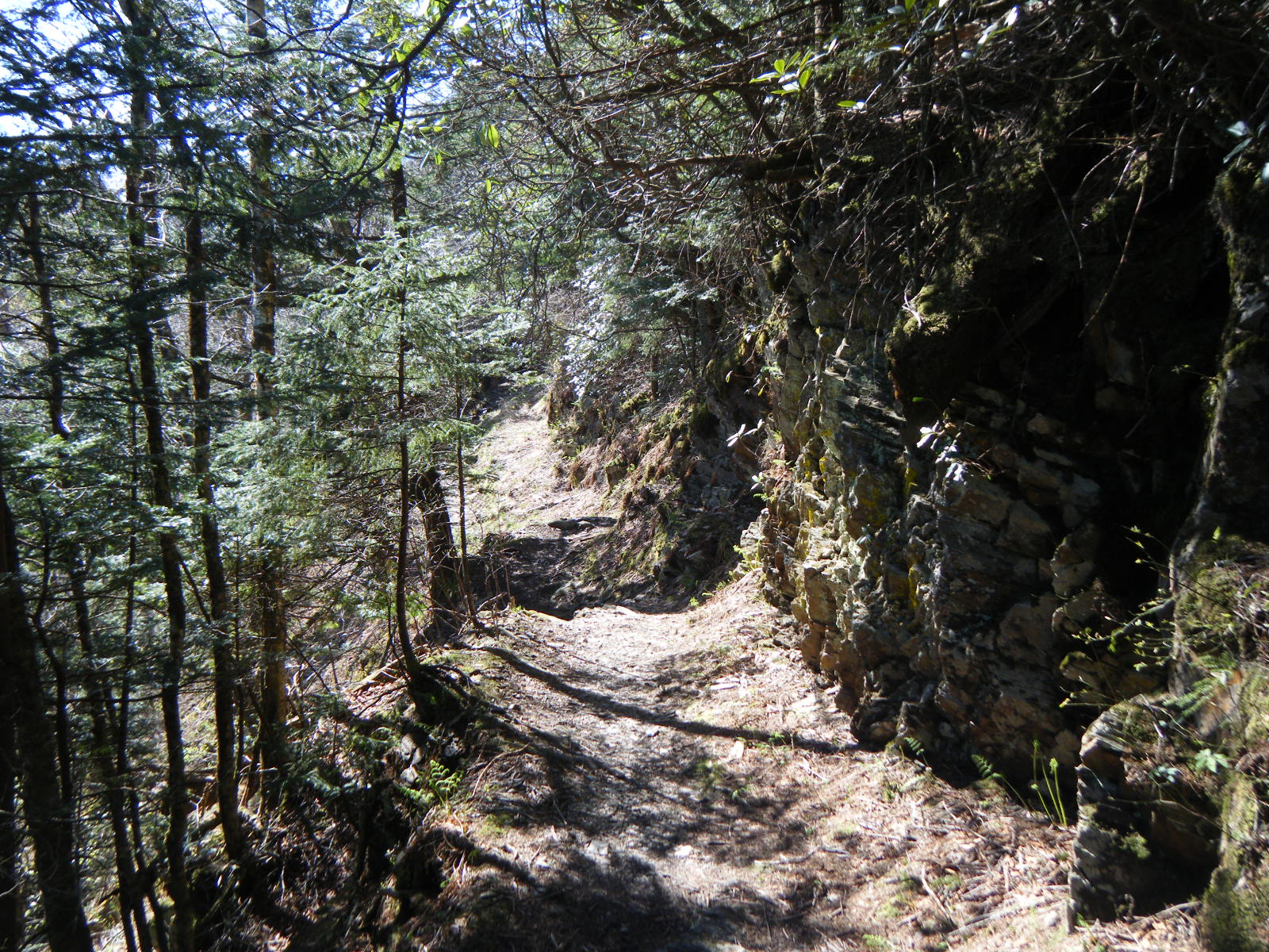
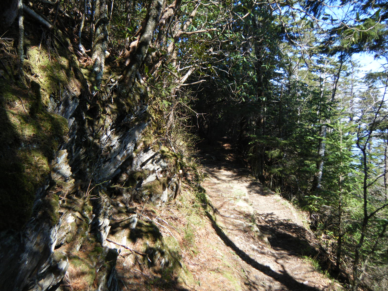
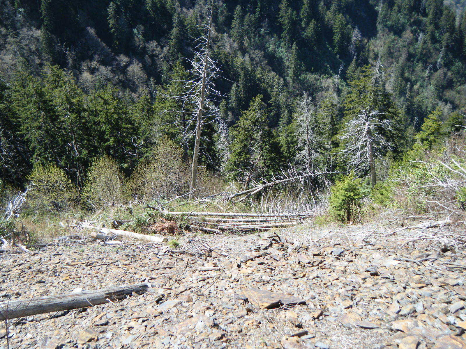
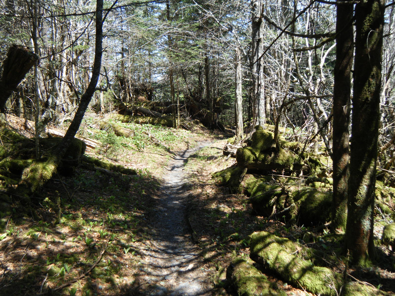
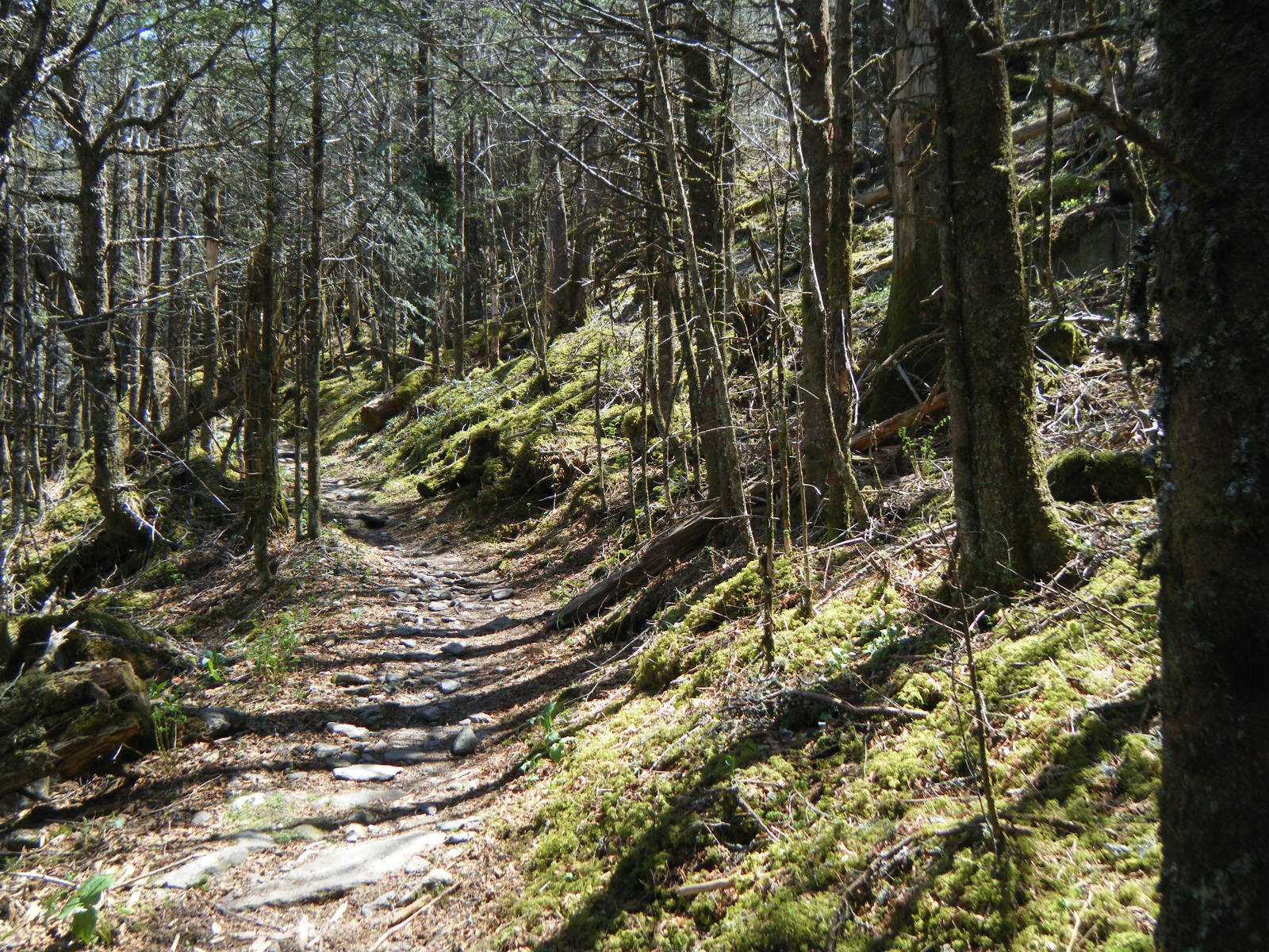
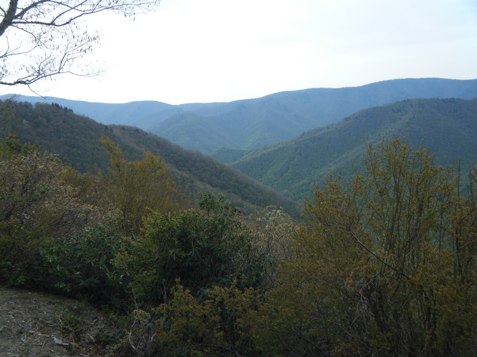
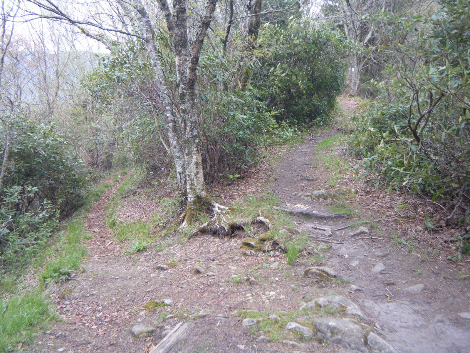
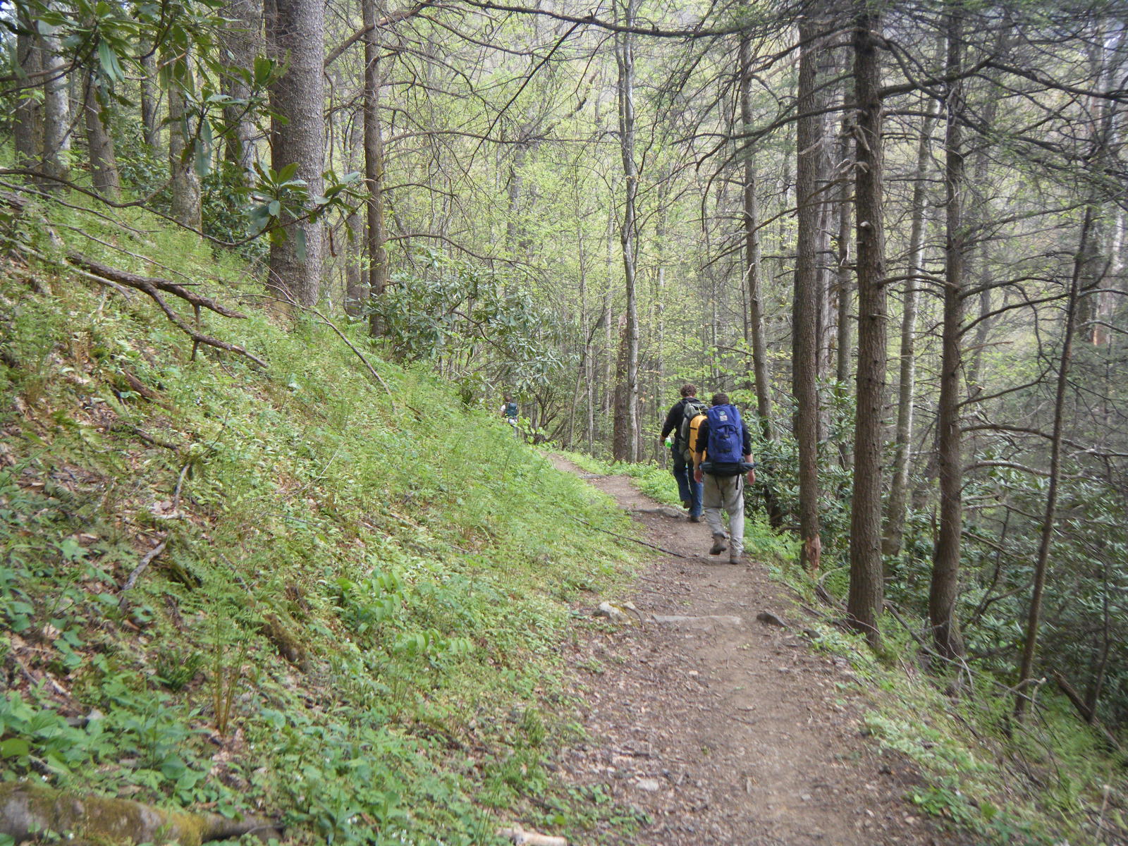
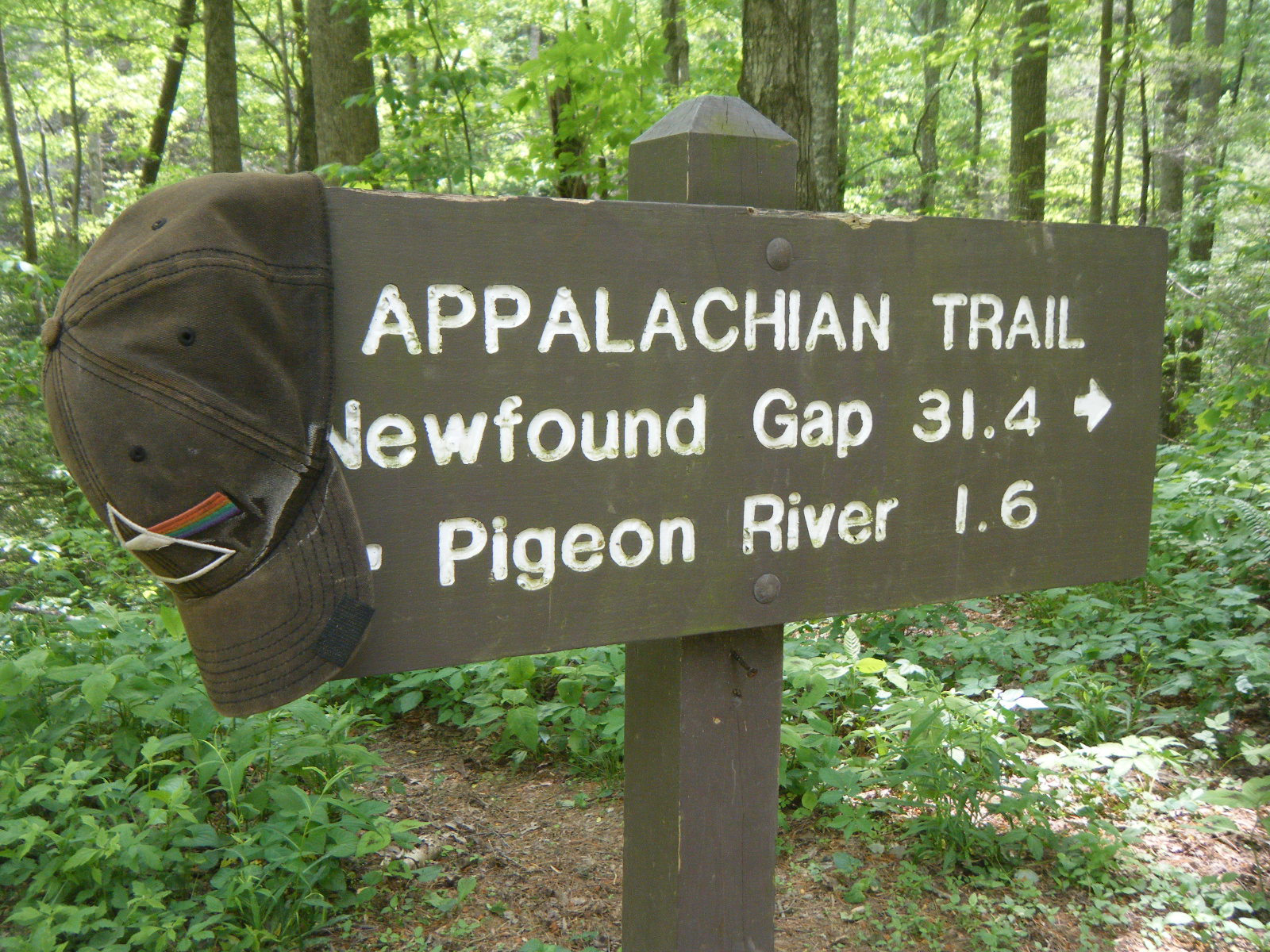
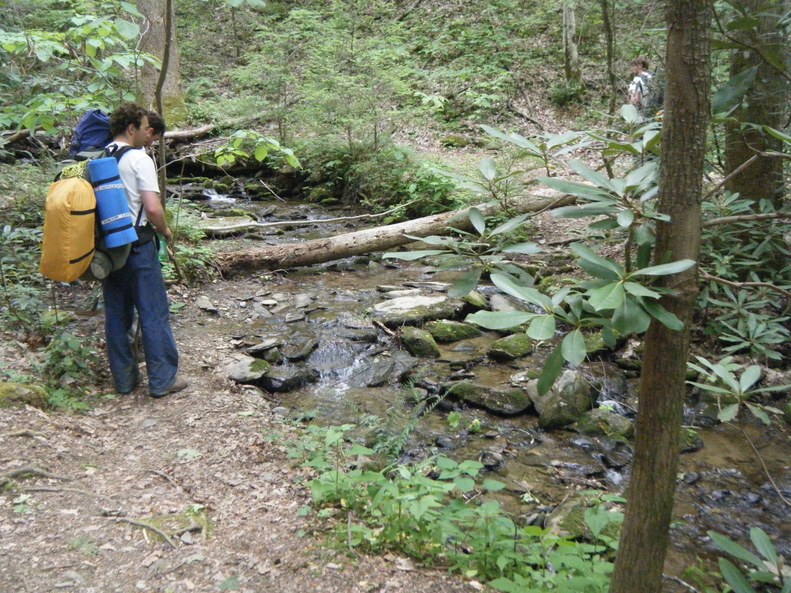
At the visitor’s center I filled out my Smokies backcountry permit and crossed the Dam. On the far side of the Dam I saw one white blaze indicating that I follow a blacktop road. I did this, for about a mile, then started wondering if perhaps I’d missed the trail. It turns out that no, I hadn’t. I met some SoBos coming the other direction, and they informed me that the AT is in fact further up. They could stand to put a couple extra blazes on that road. Upon re-entering the woods, I began a brutal climb up into the Smokies. The temperature started at about 80F, and thankfully dropped by 20 degrees during the climb. After reaching the top of this mountain the trail leveled out a bit, and at one point I hiked through a field absolutely littered with baby grasshoppers. They hop as you get close to them, and with all the dried leaves lying around, it sounded and kinda looked like popcorn popping all around me. I hiked a total of about 10 miles that day, and stayed at Mollies Ridge Shelter.
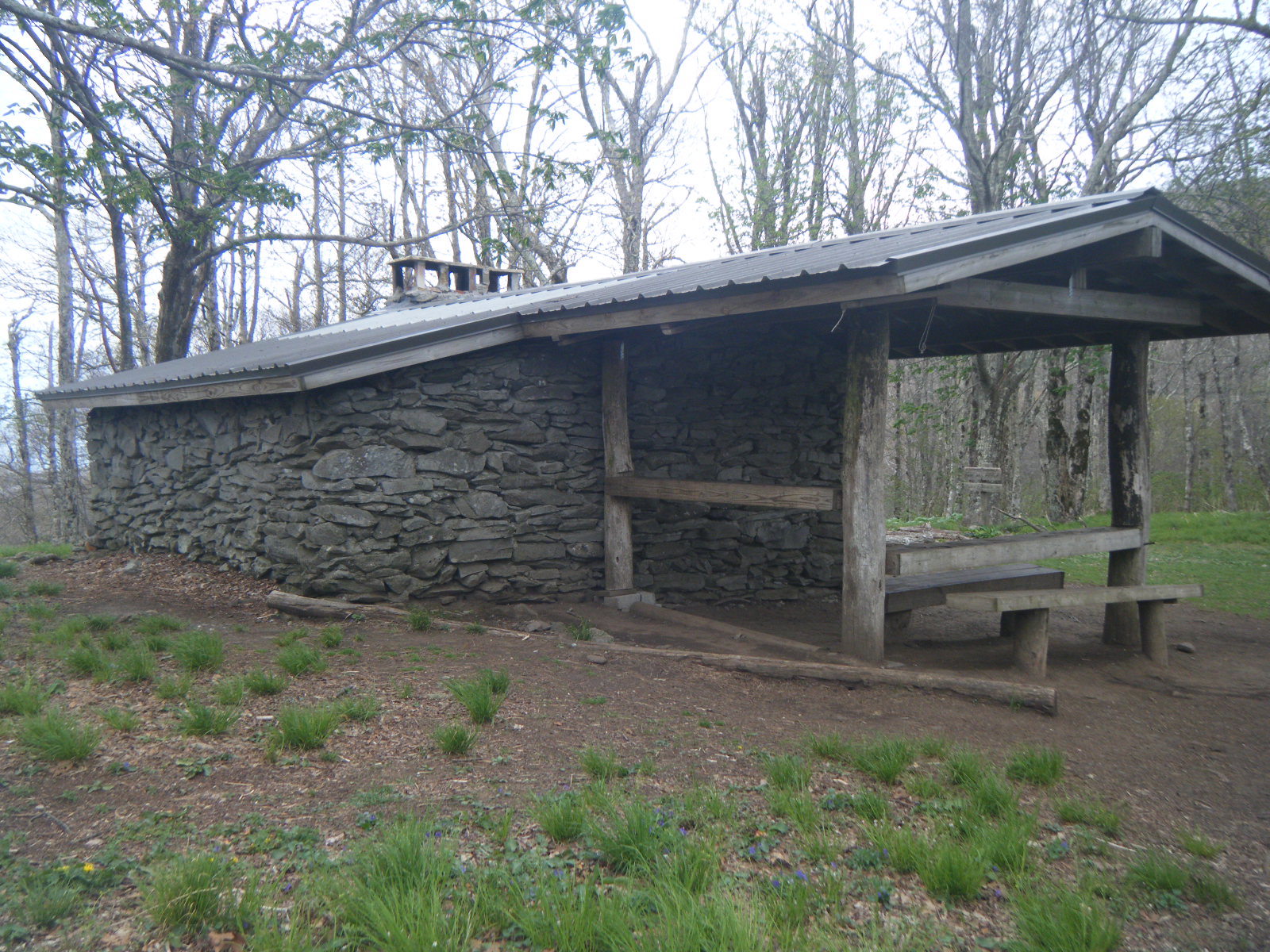
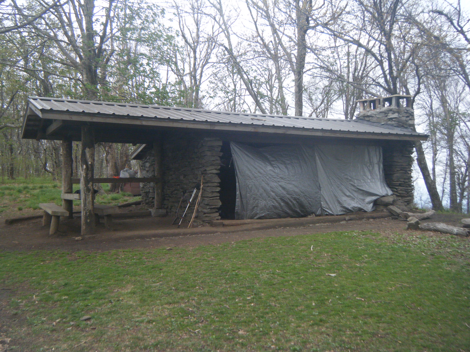
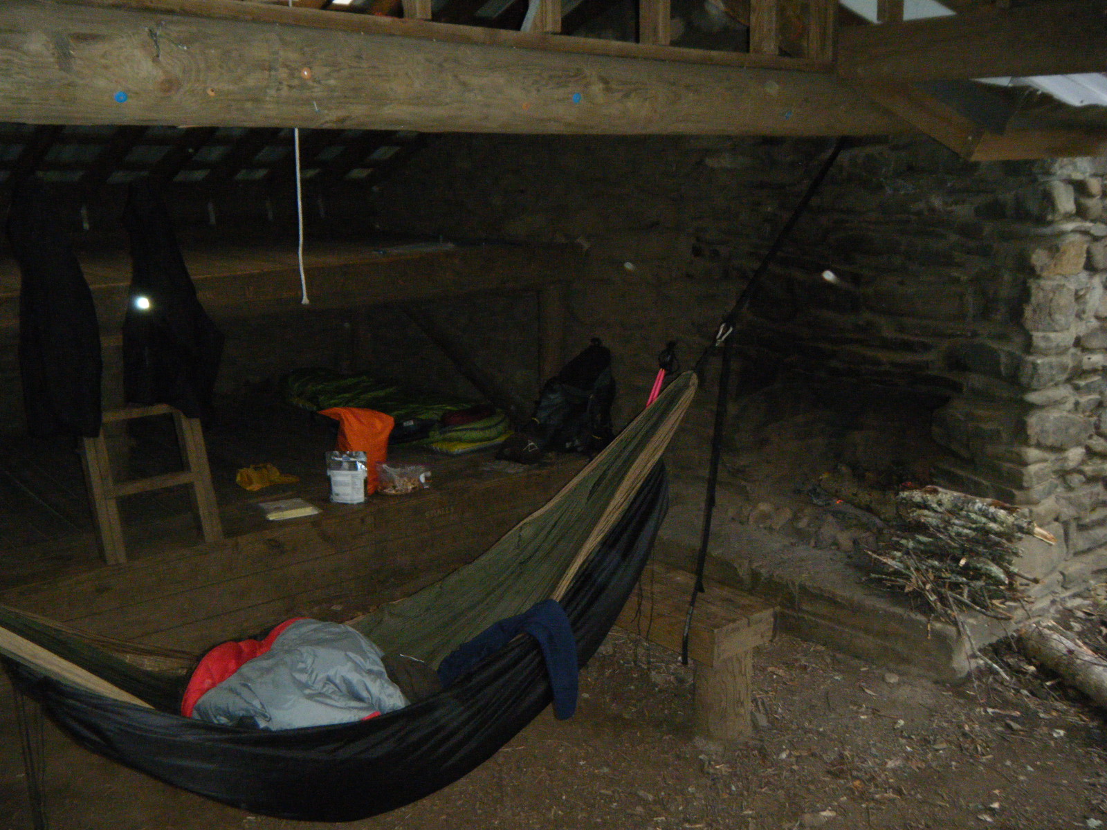
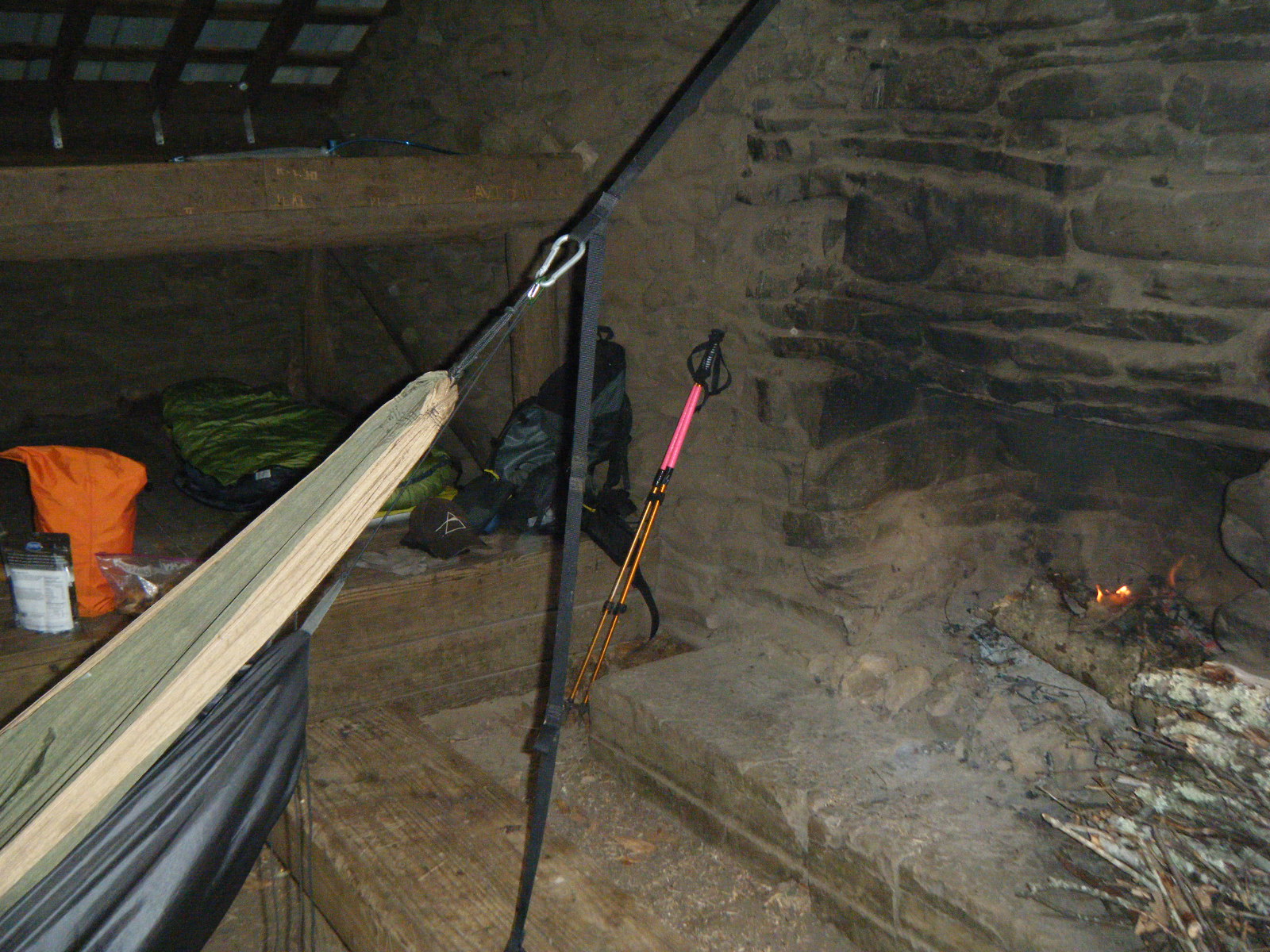
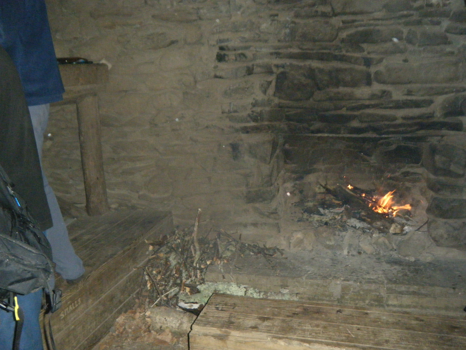
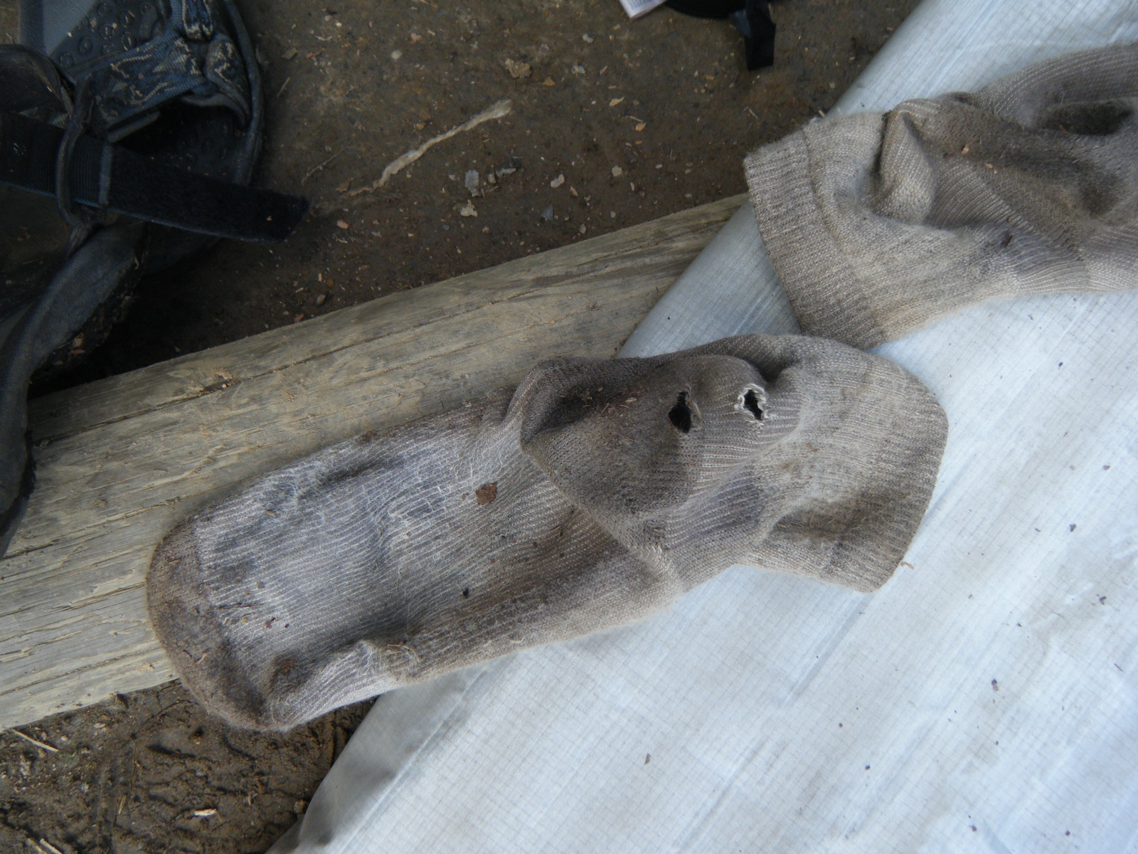
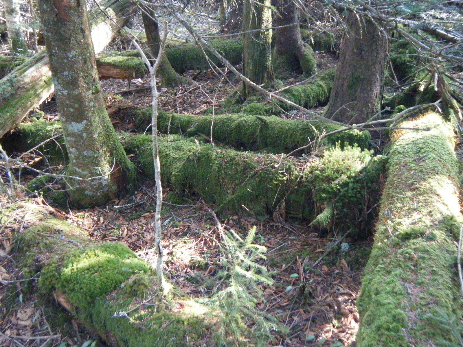
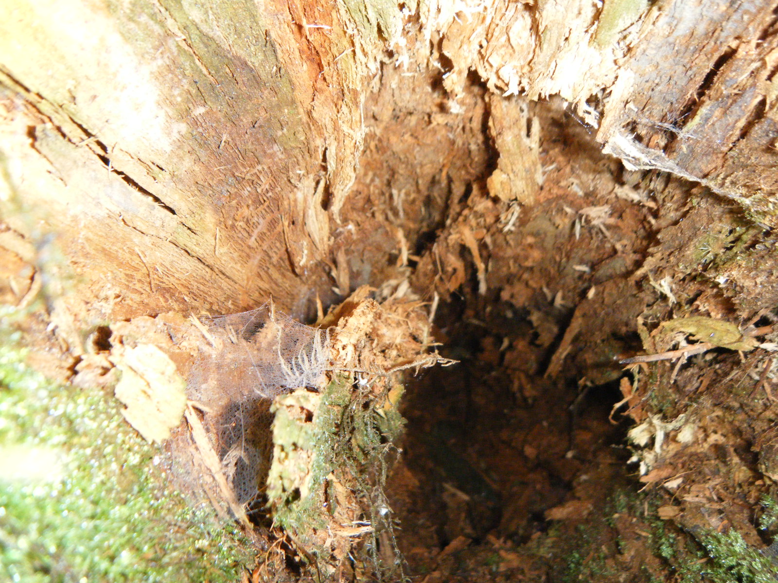
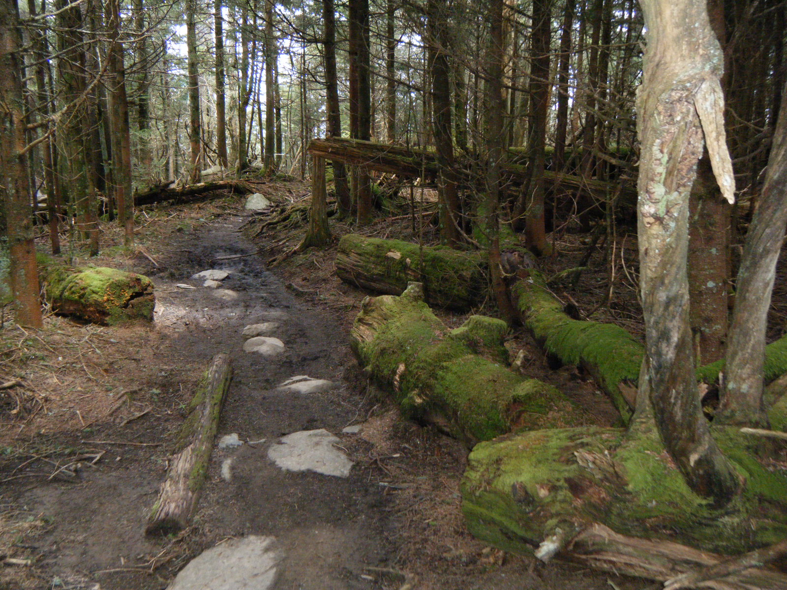
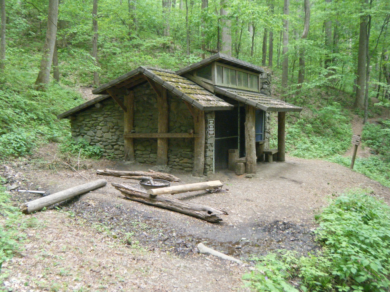
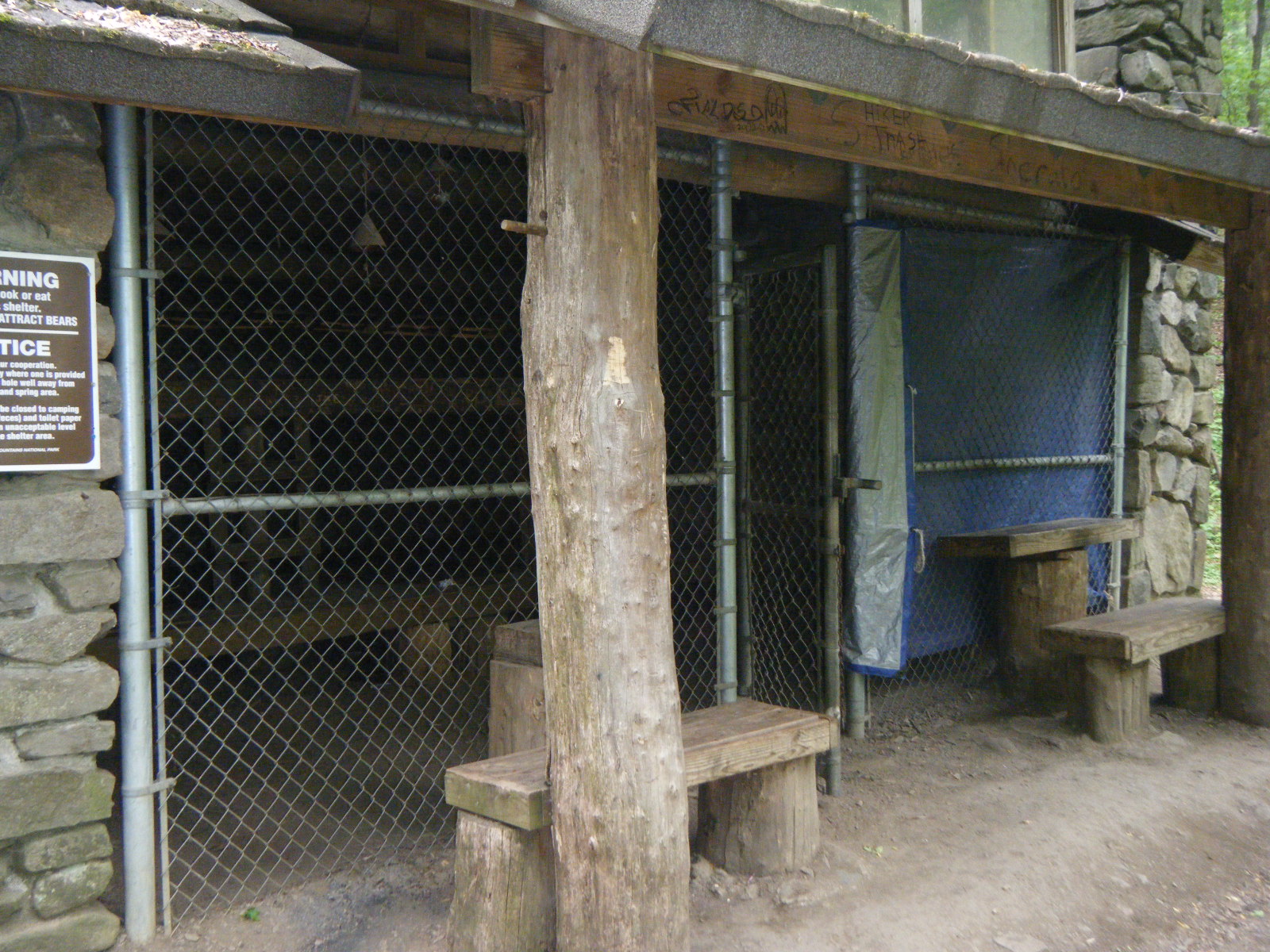
I had heard that all of the shelters in the Smokies are run-down and mistreated. This proved to be incredibly untrue. The shelters in the Smokies were the best I’ve seen. All of them have a sleeping area with two sleeping levels, the walls are made of stone and mortar, they all have a fireplace built into the stone wall, and they all have a commons eating area too. On top of that, I stayed in one during the tornadoes and the roof did not leak, nor did I hear of any roofs that did leak from other hikers. In addition, some of the roofs were clear plexiglass, so you could stargaze from within the shelter.
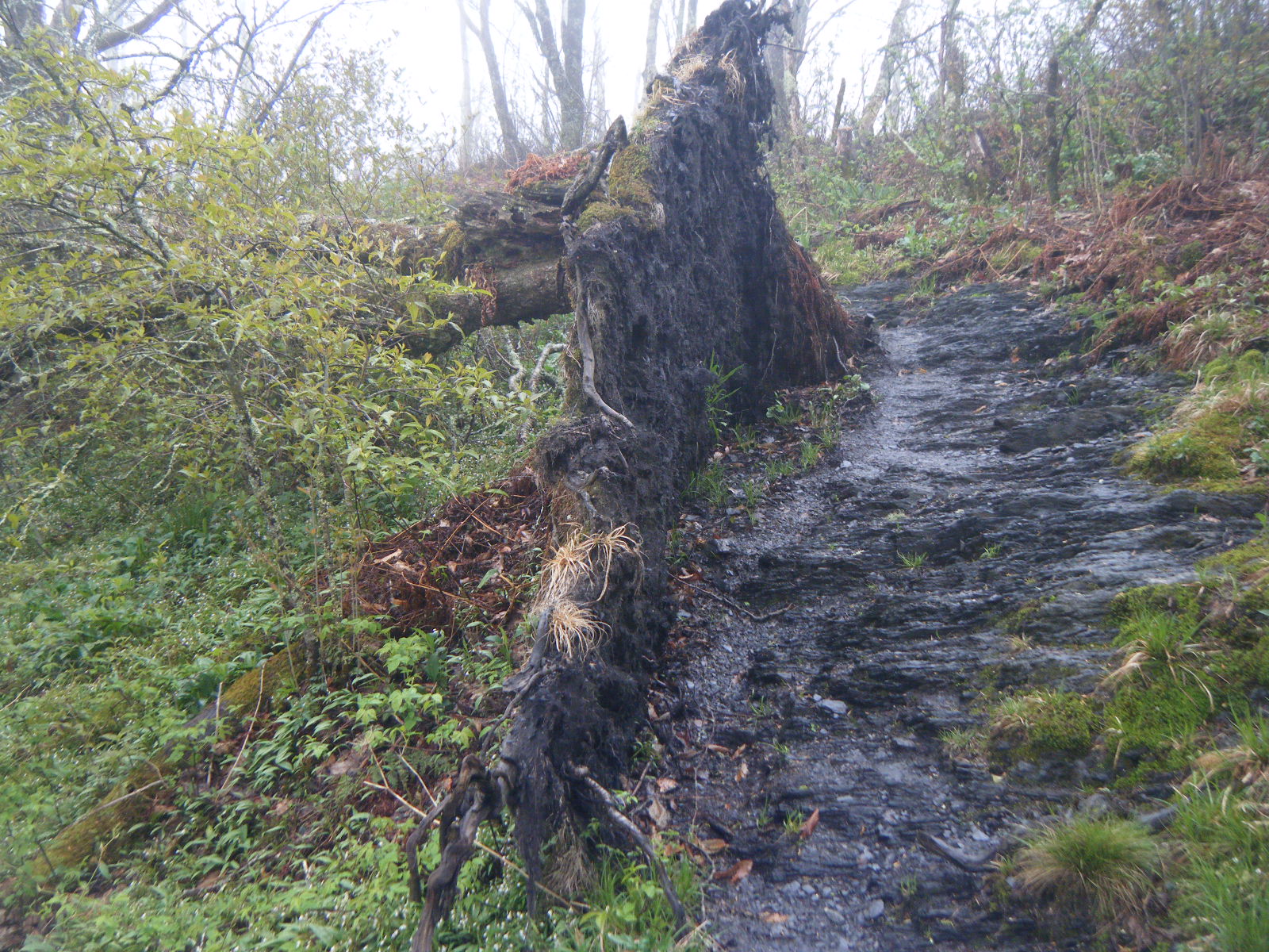
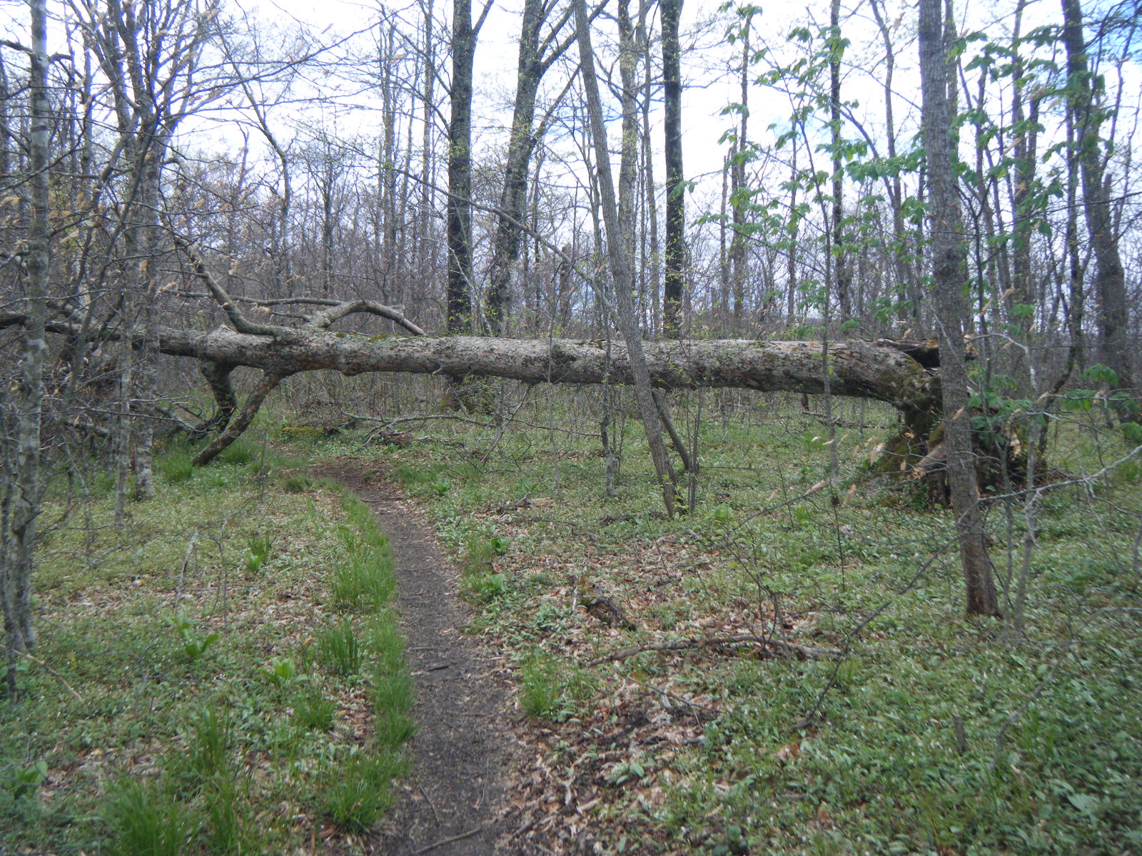
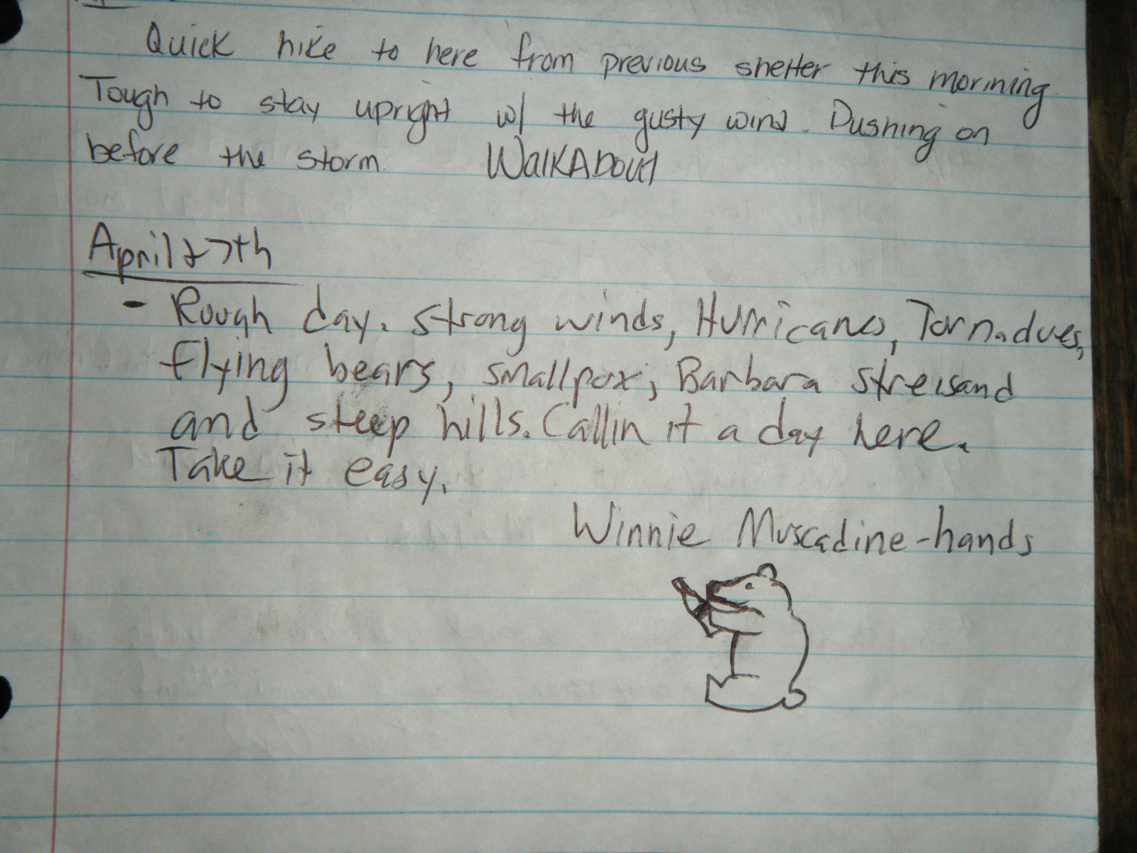
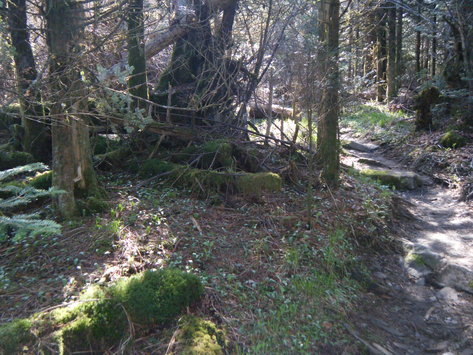
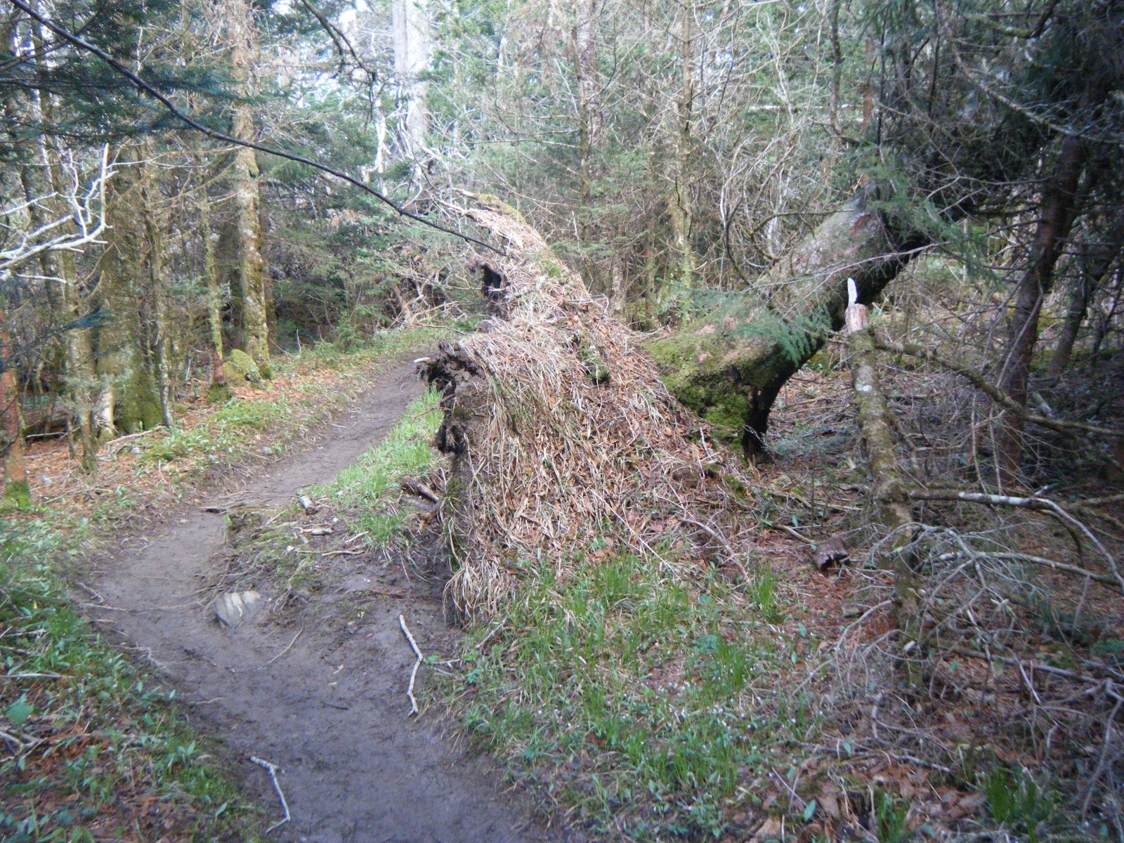
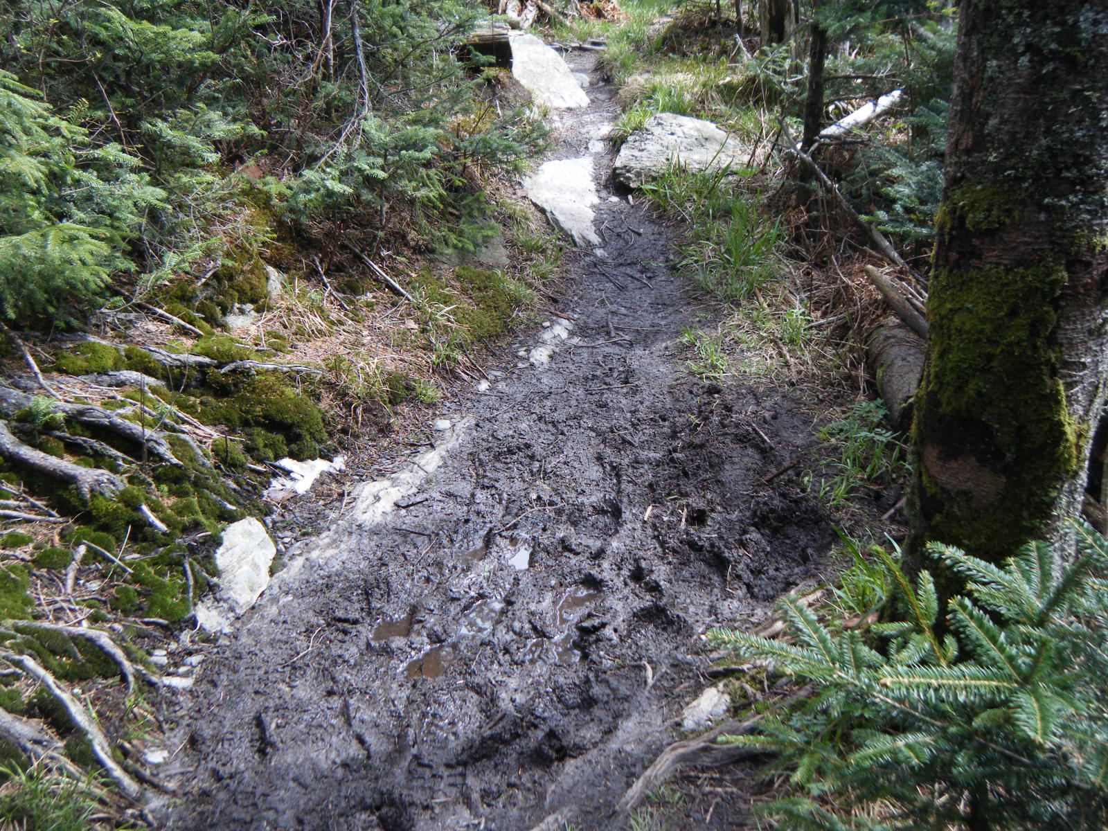
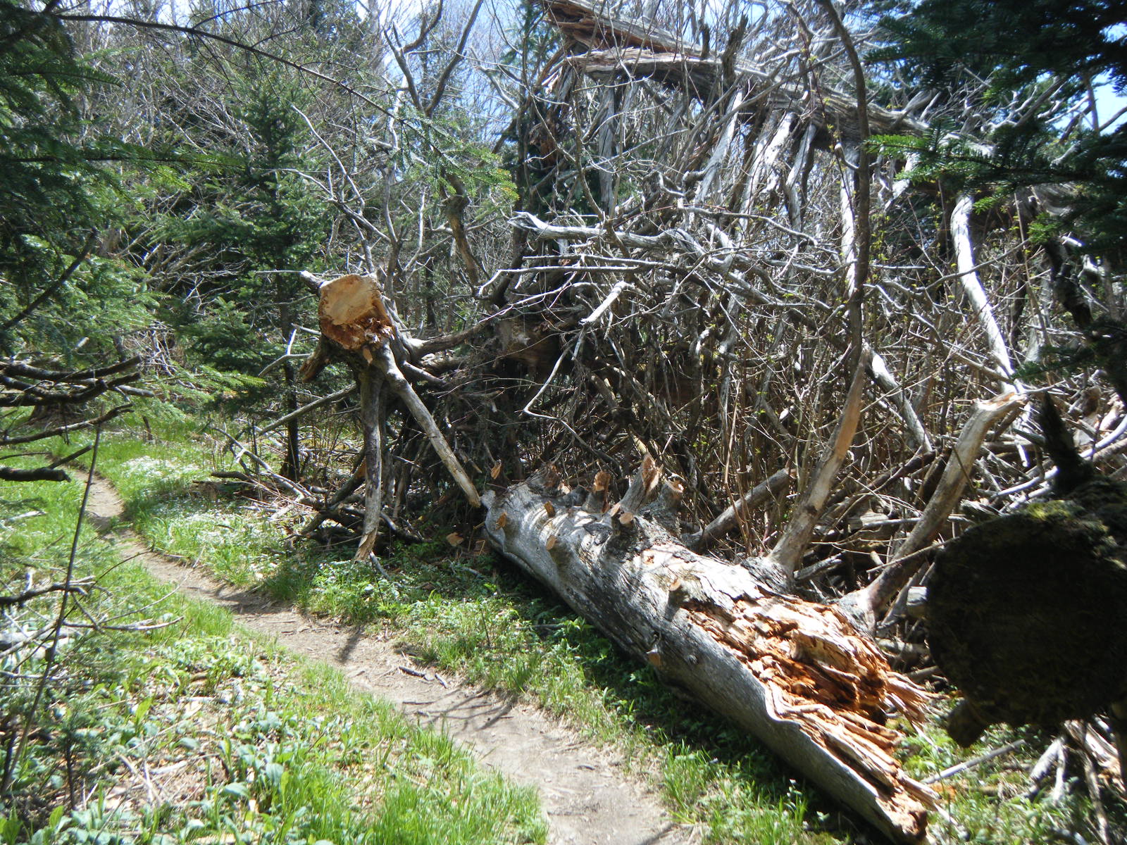
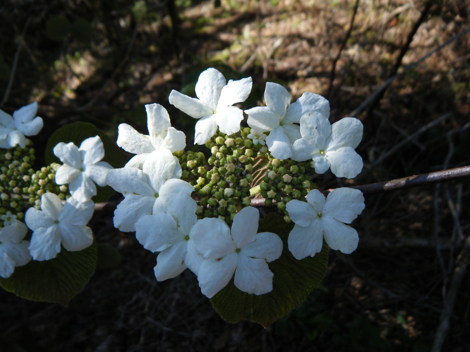
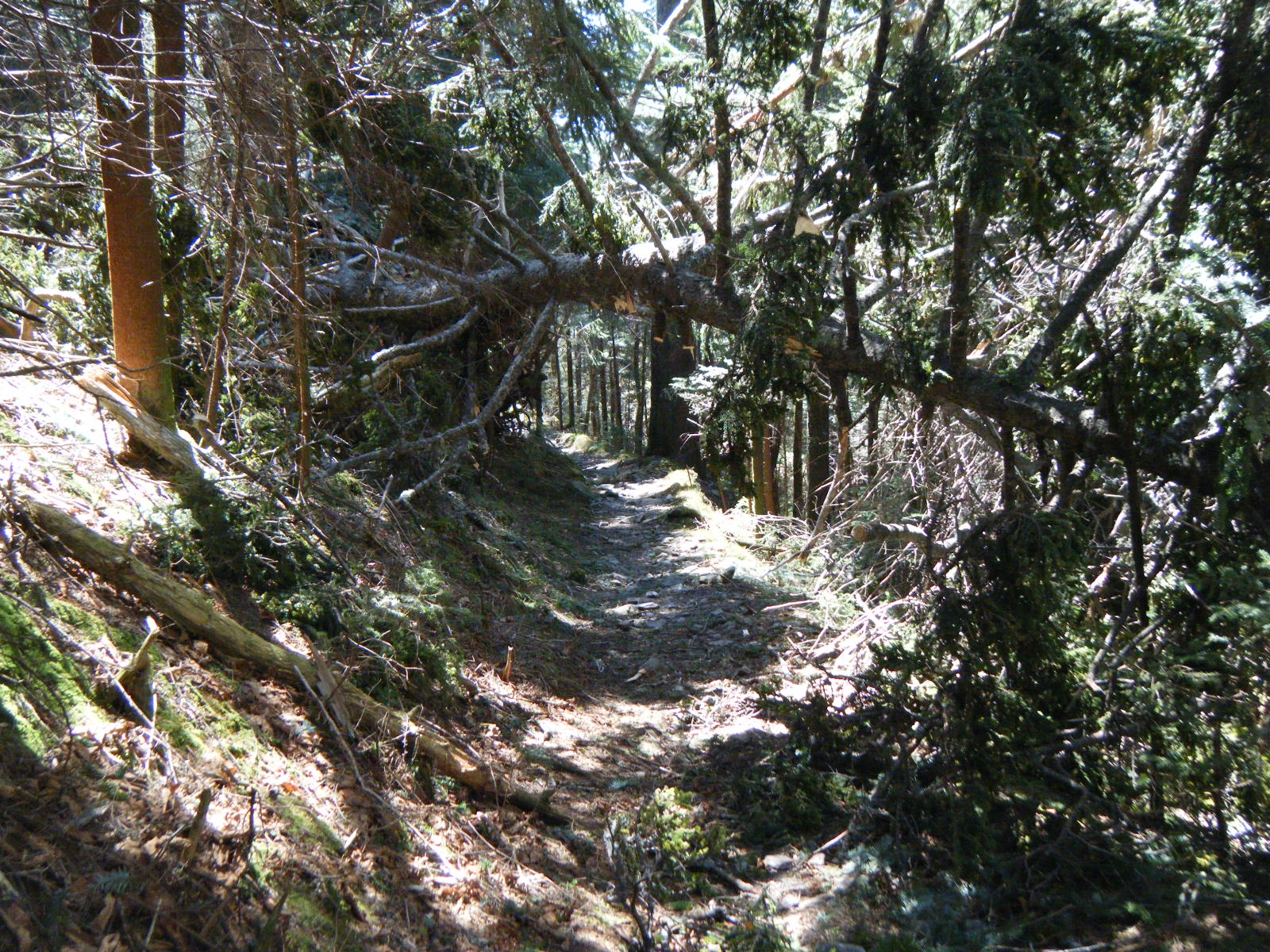
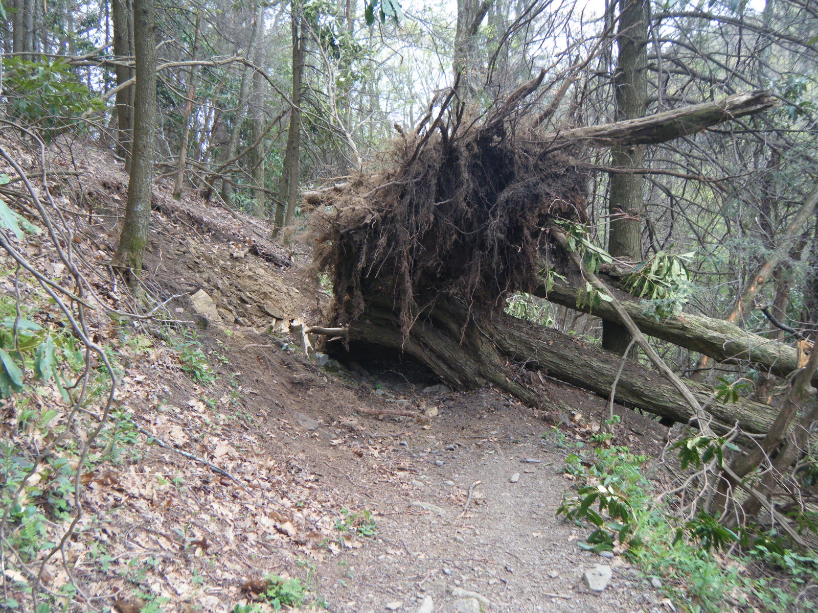
During my second day in the Smokies I hiked a short 5.4 miles to Spence Field Shelter. It was incredibly windy this day, and it rained on me for awhile. At one point a very large tree snapped and fell across the trail about 50 feet ahead of me. I kept the day short because I was expecting the storms to get worse, which they did. That night was quite loud with all the wind/rain/hail/lightning/tornadoes.
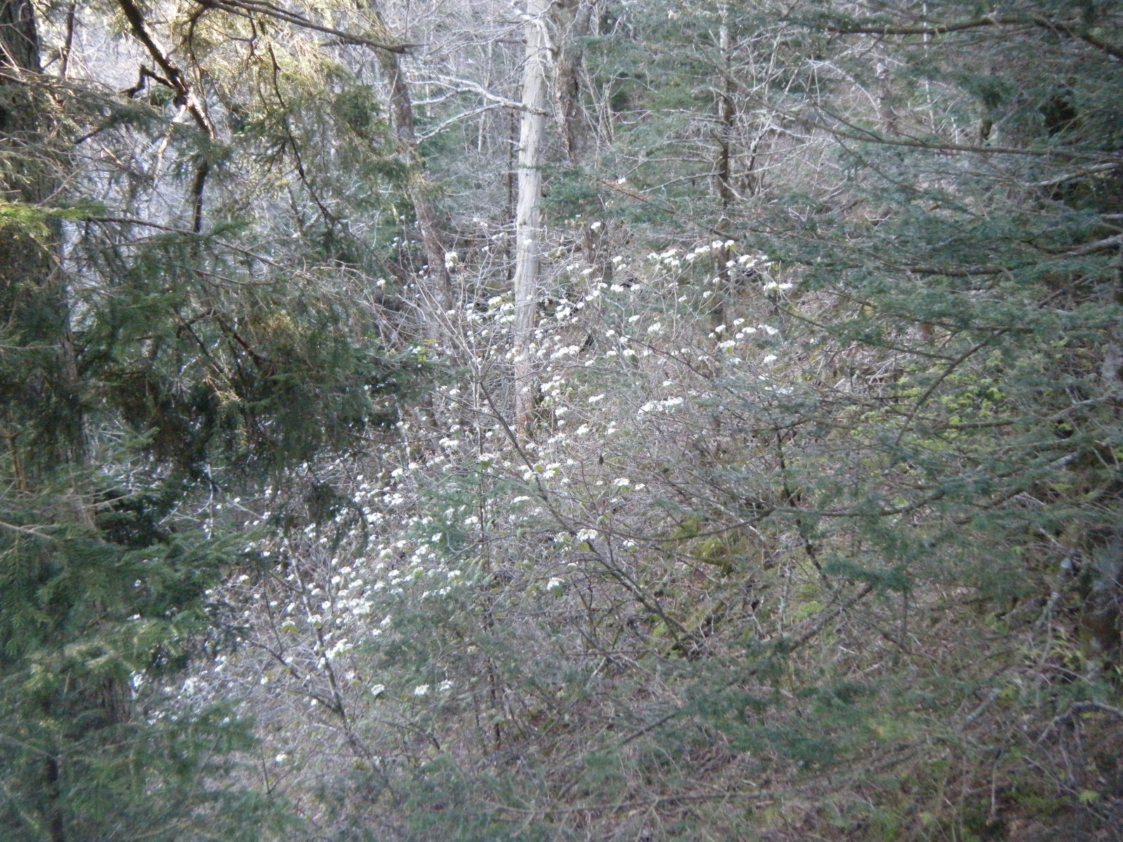
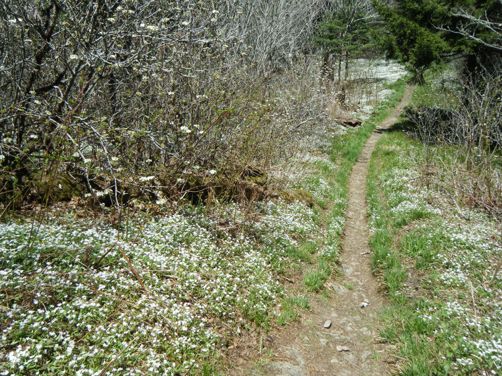
The next day was rather foggy and I hiked 11.8 miles to Silers Bald Shelter. Uneventful.
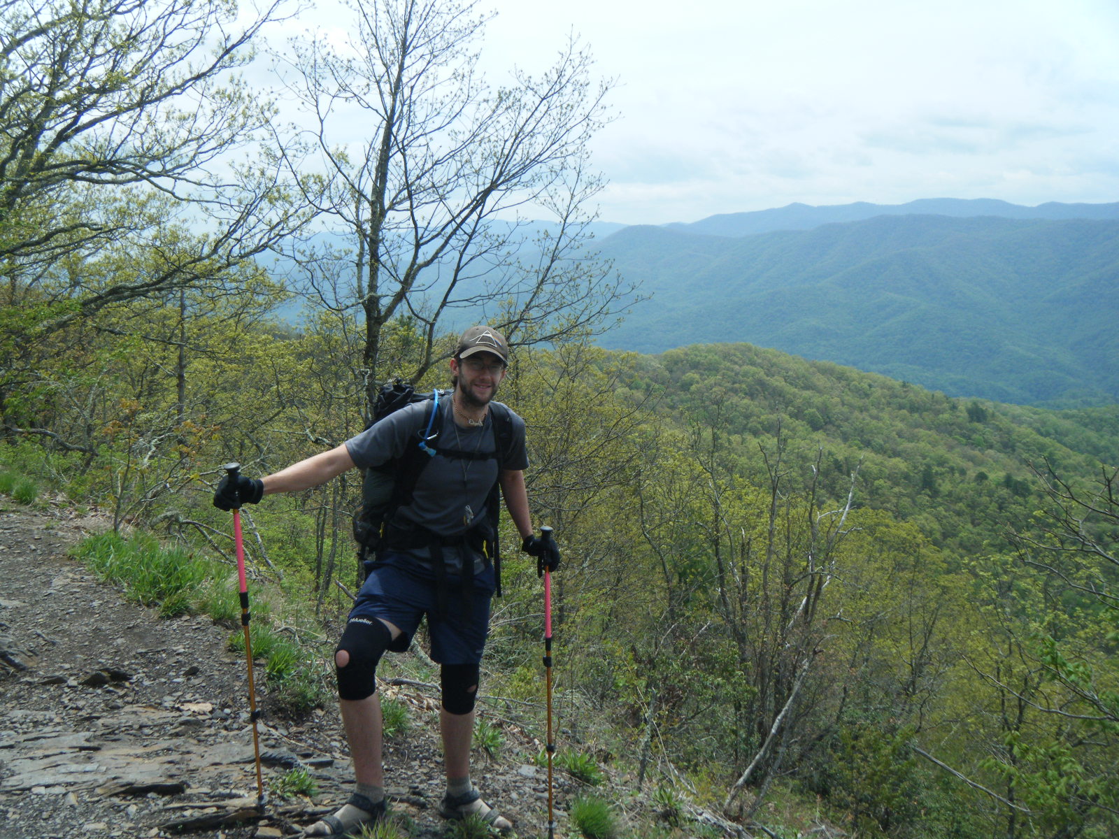
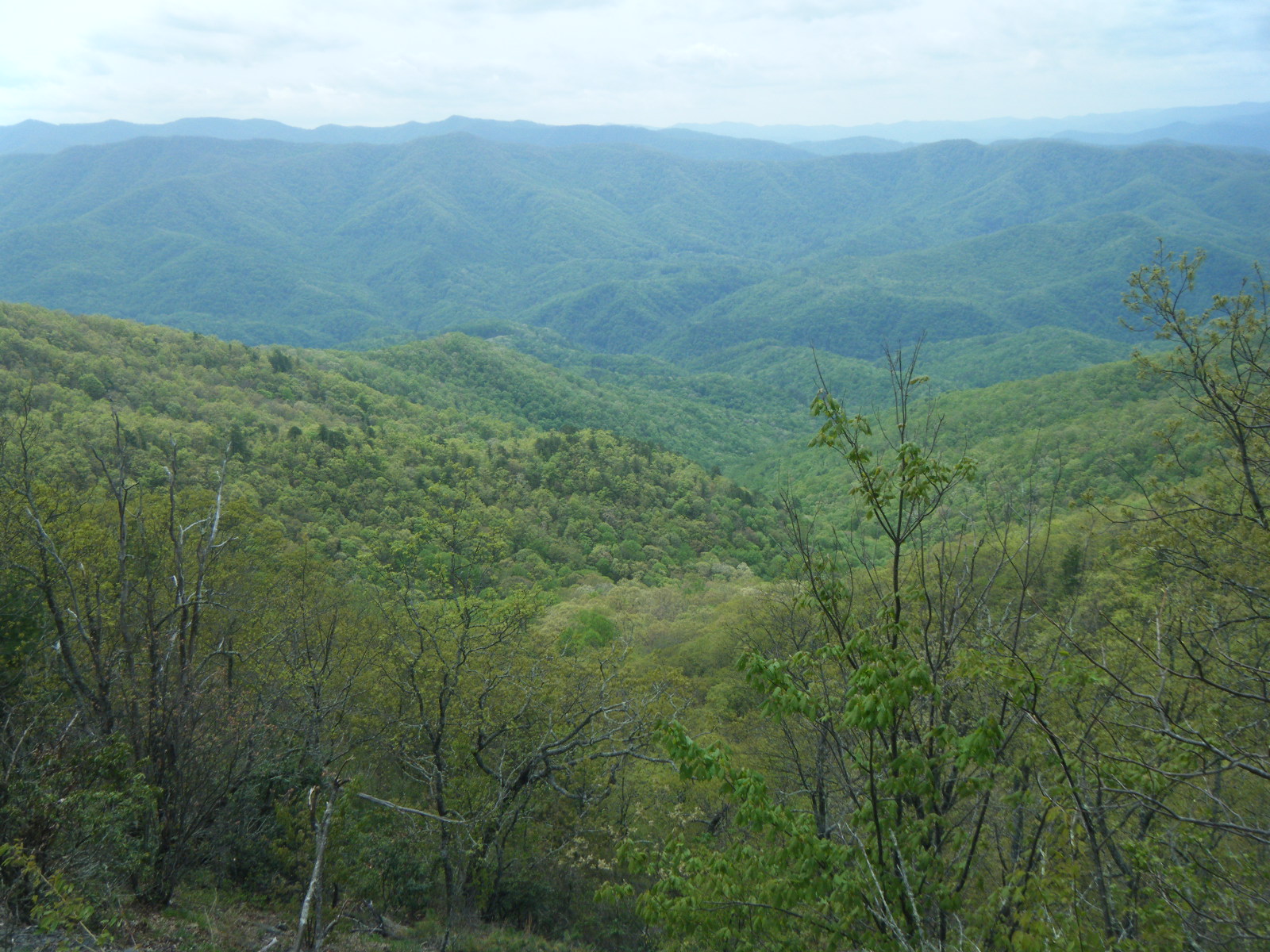
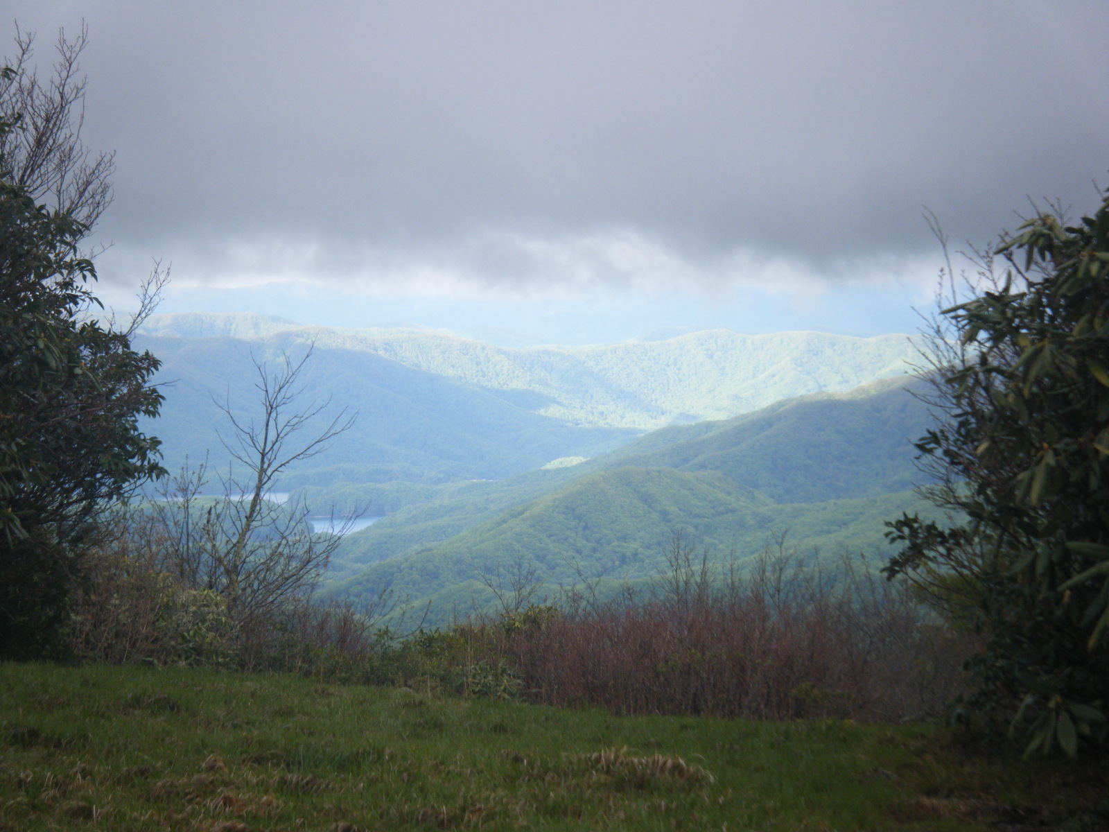
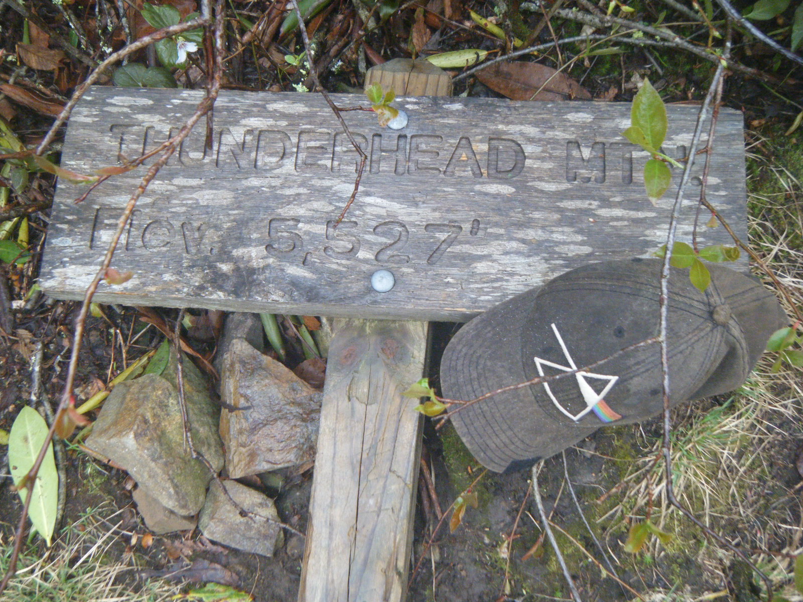
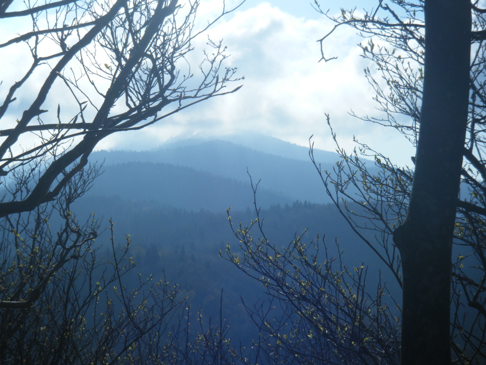
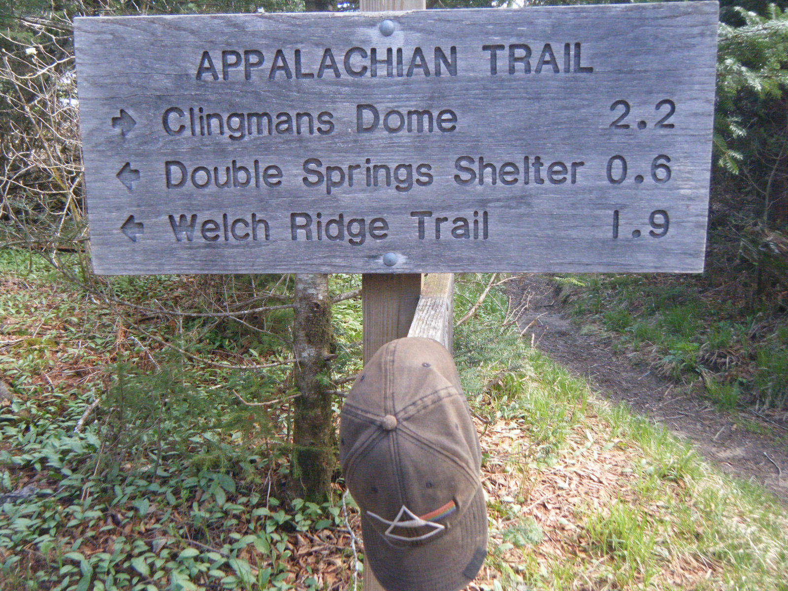
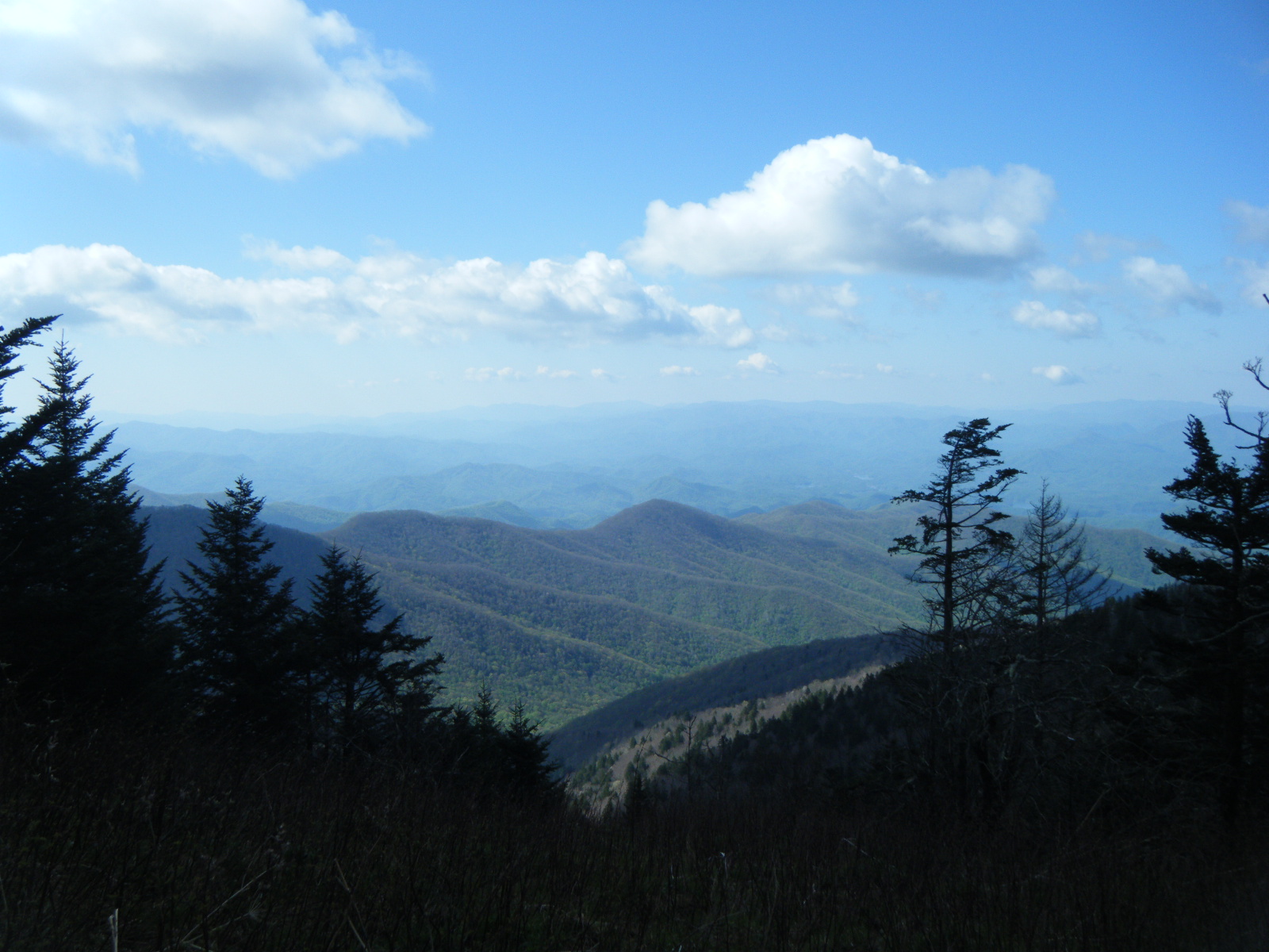
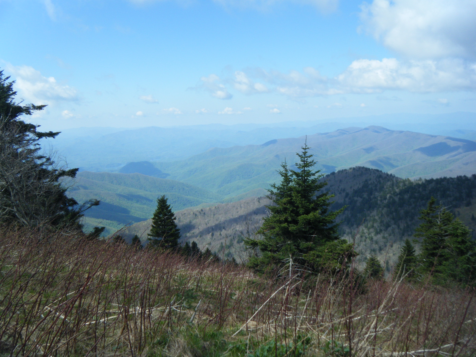
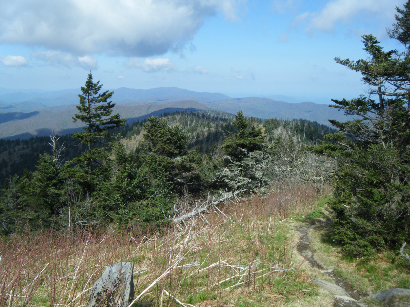
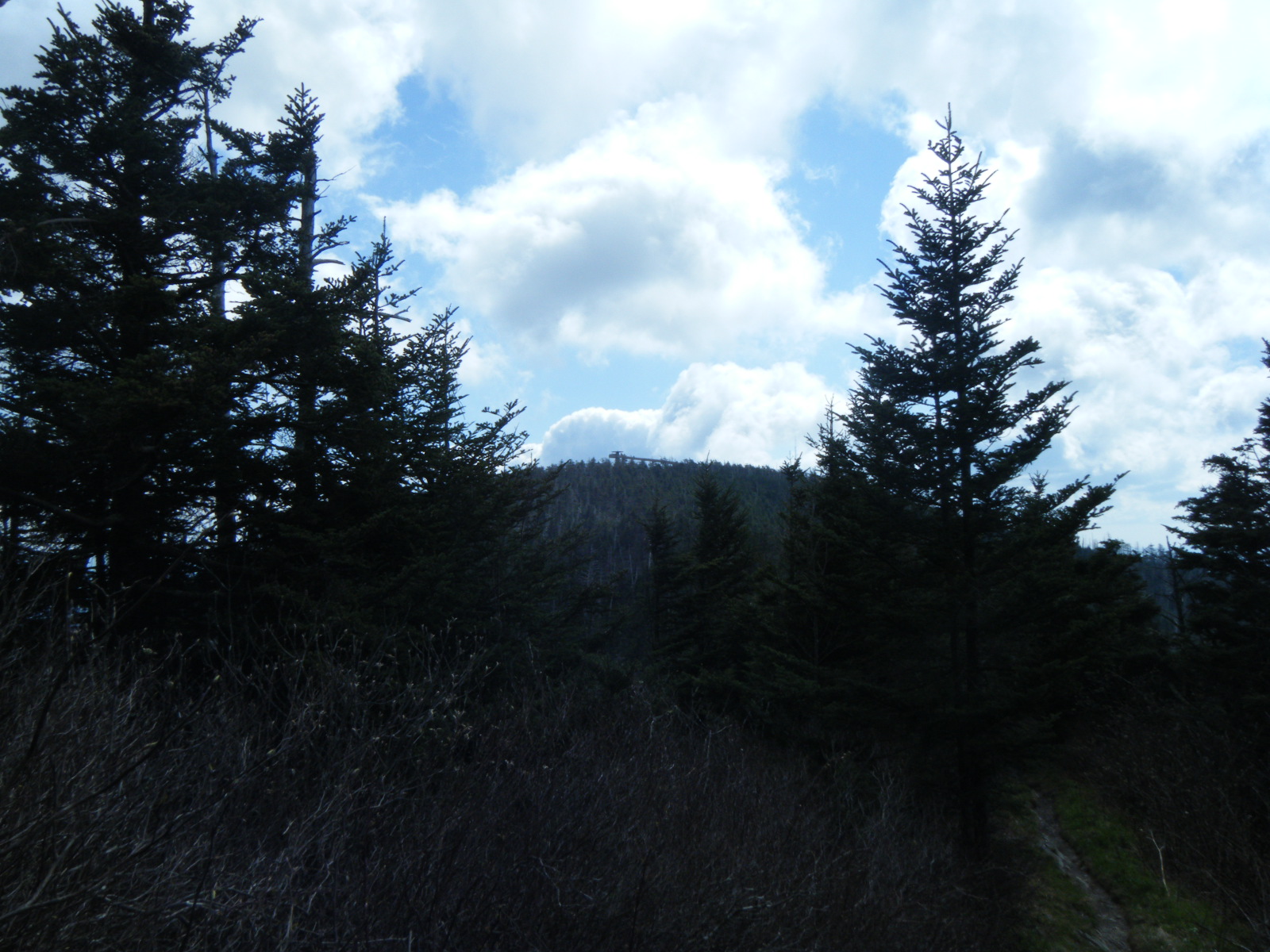
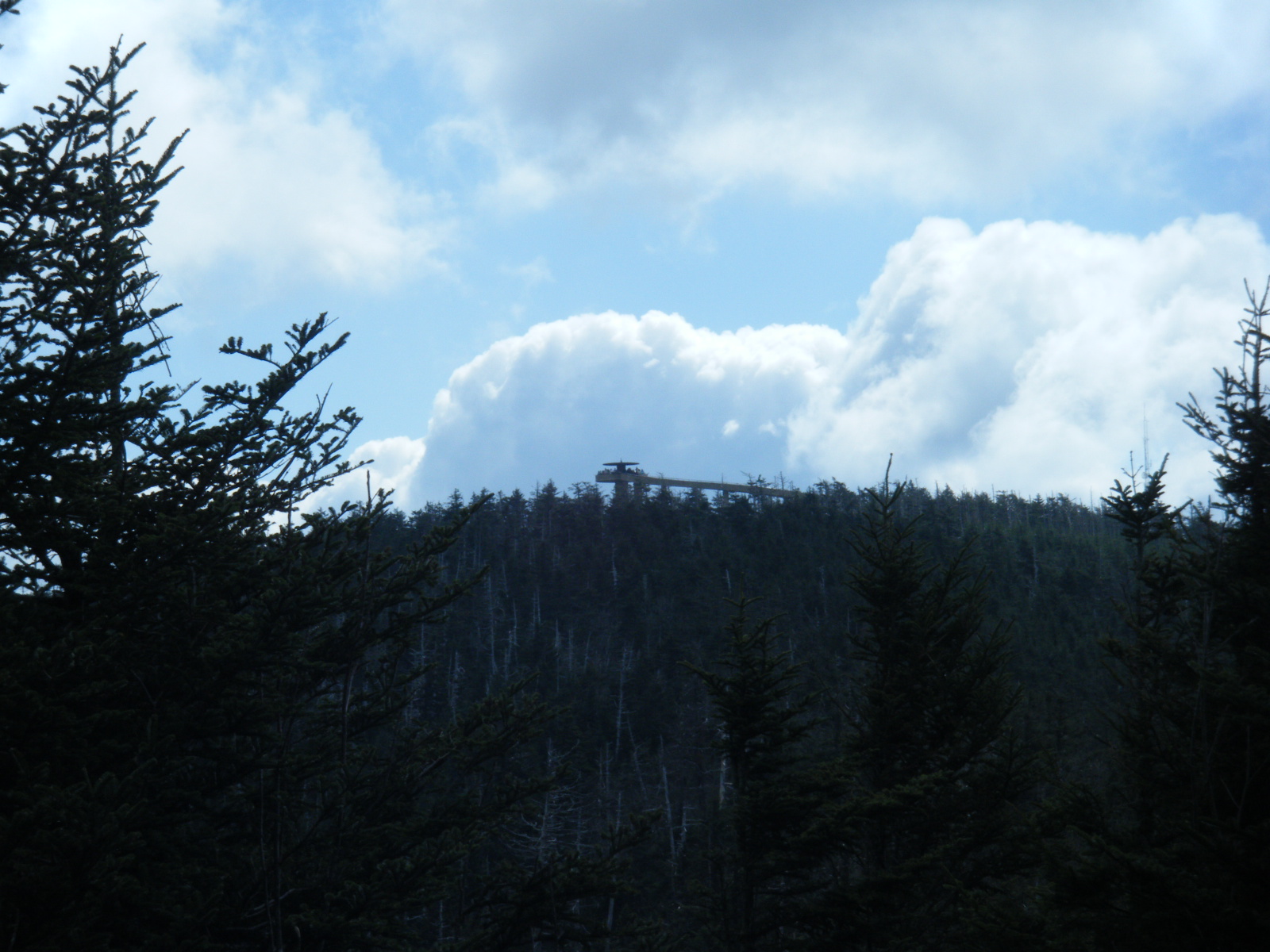
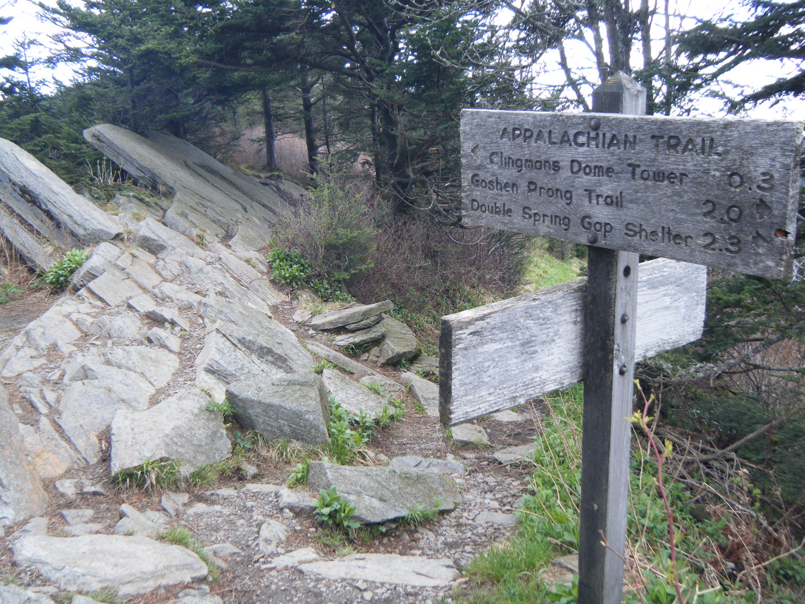
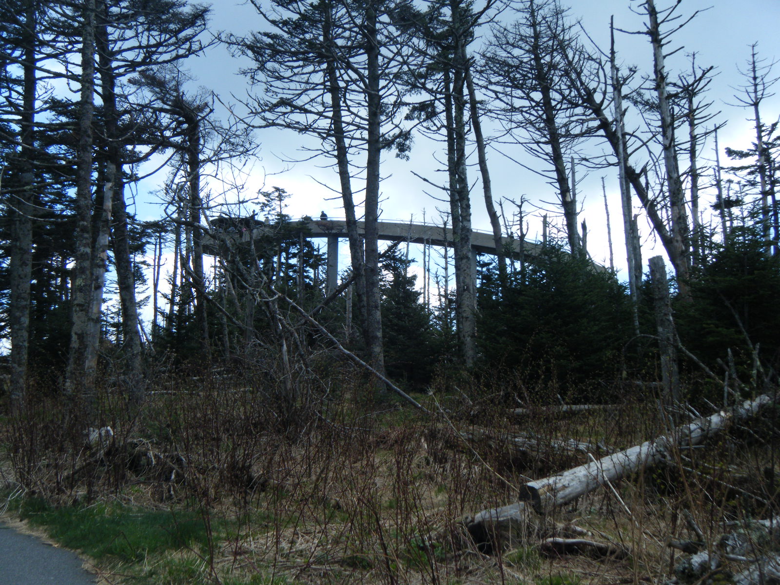
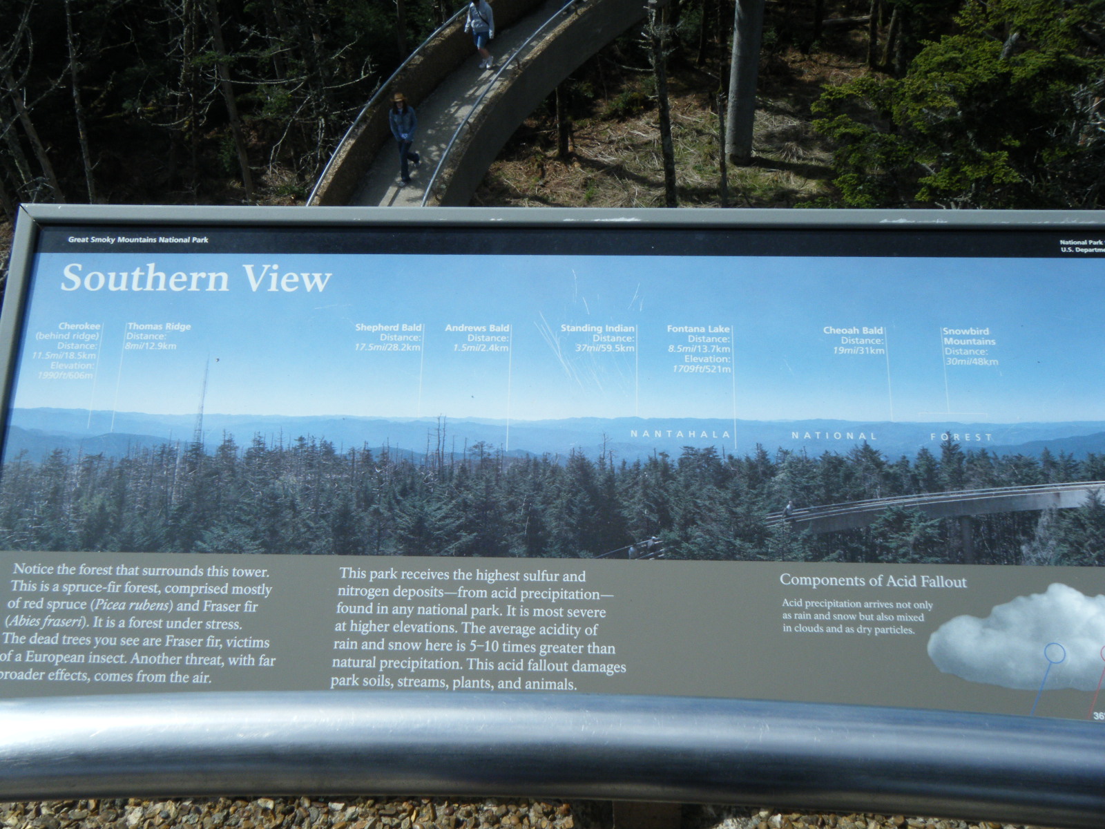
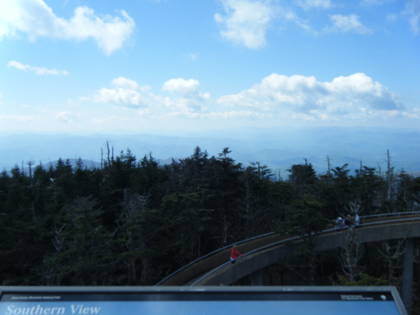
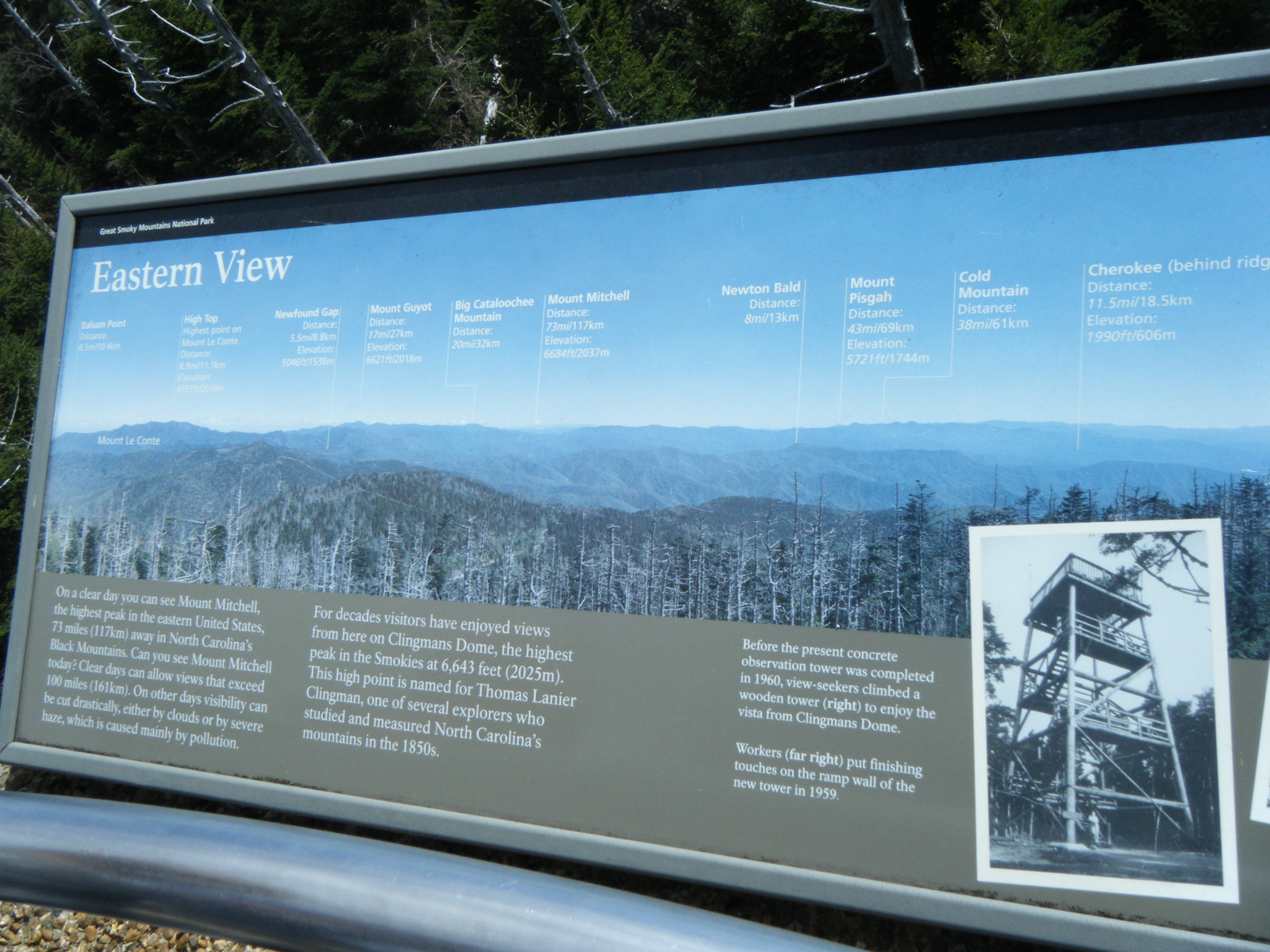
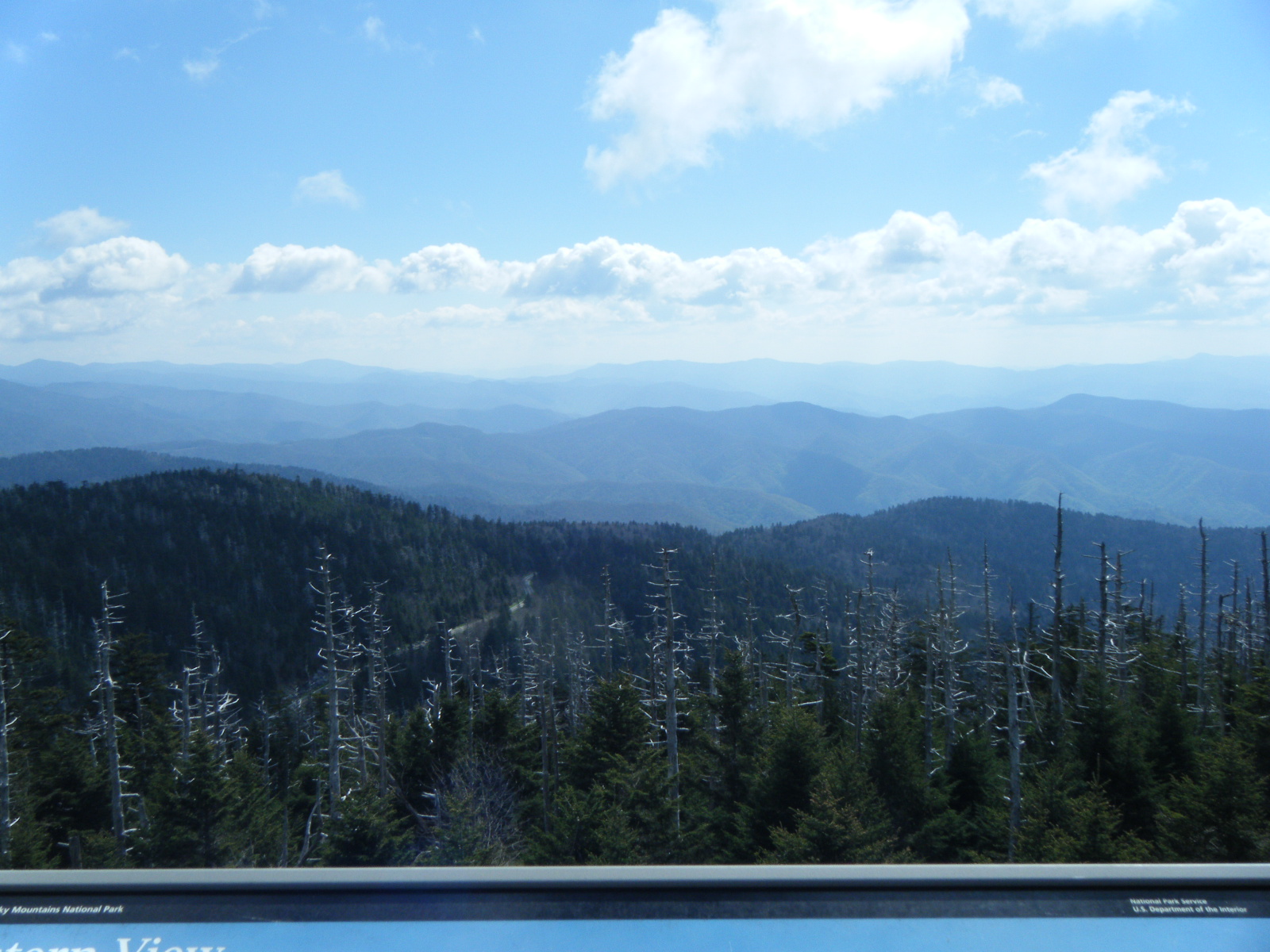
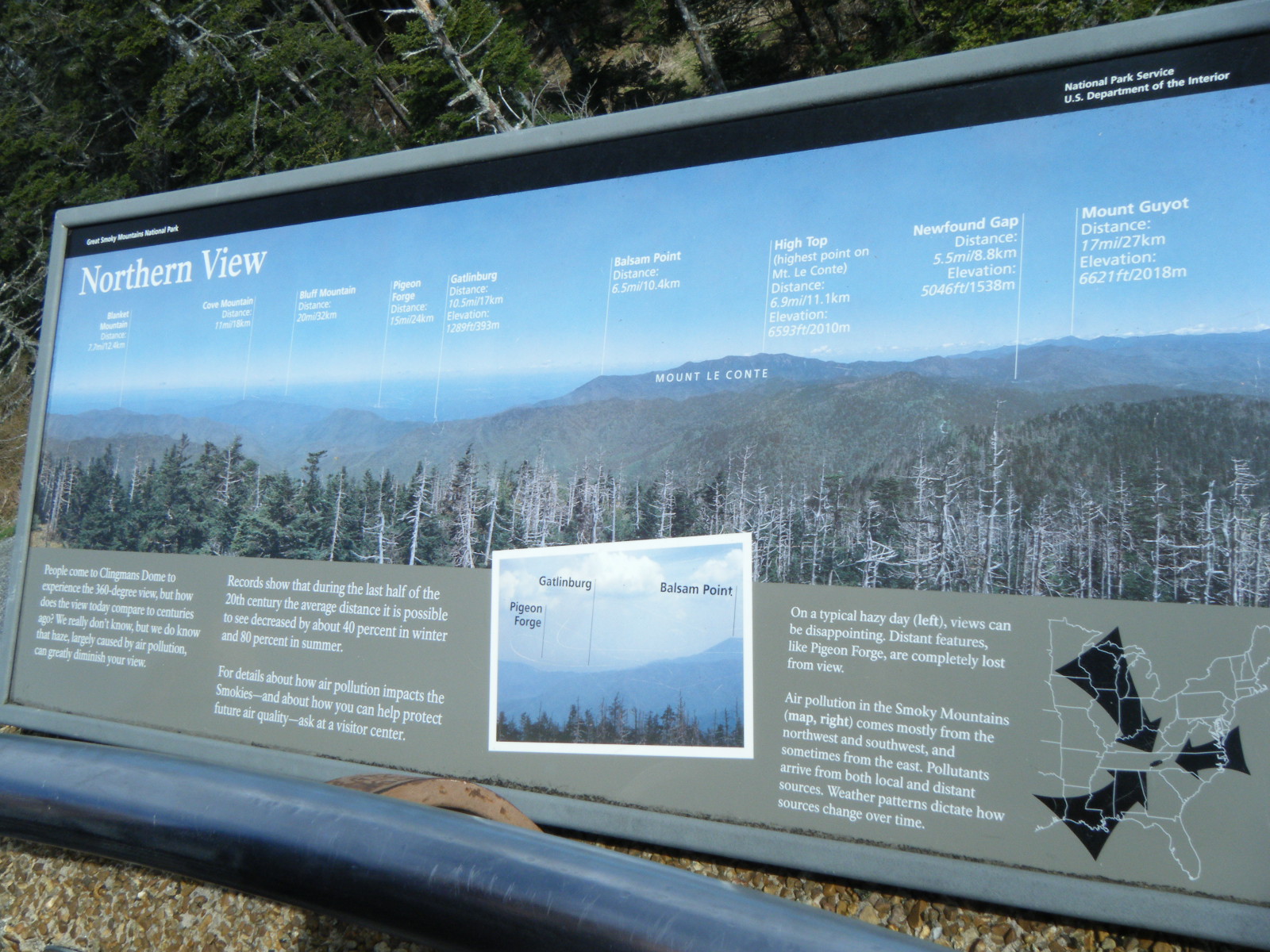
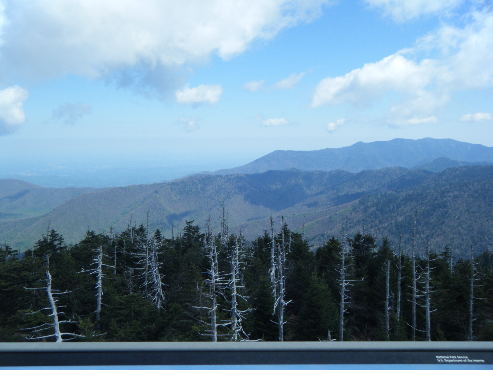
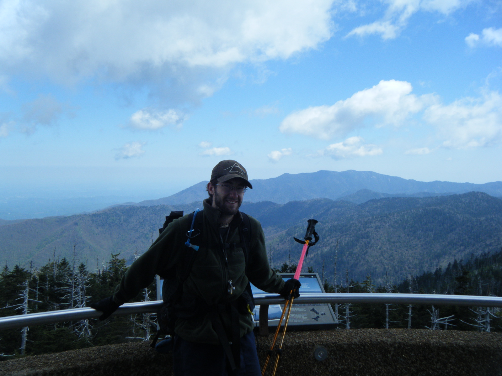
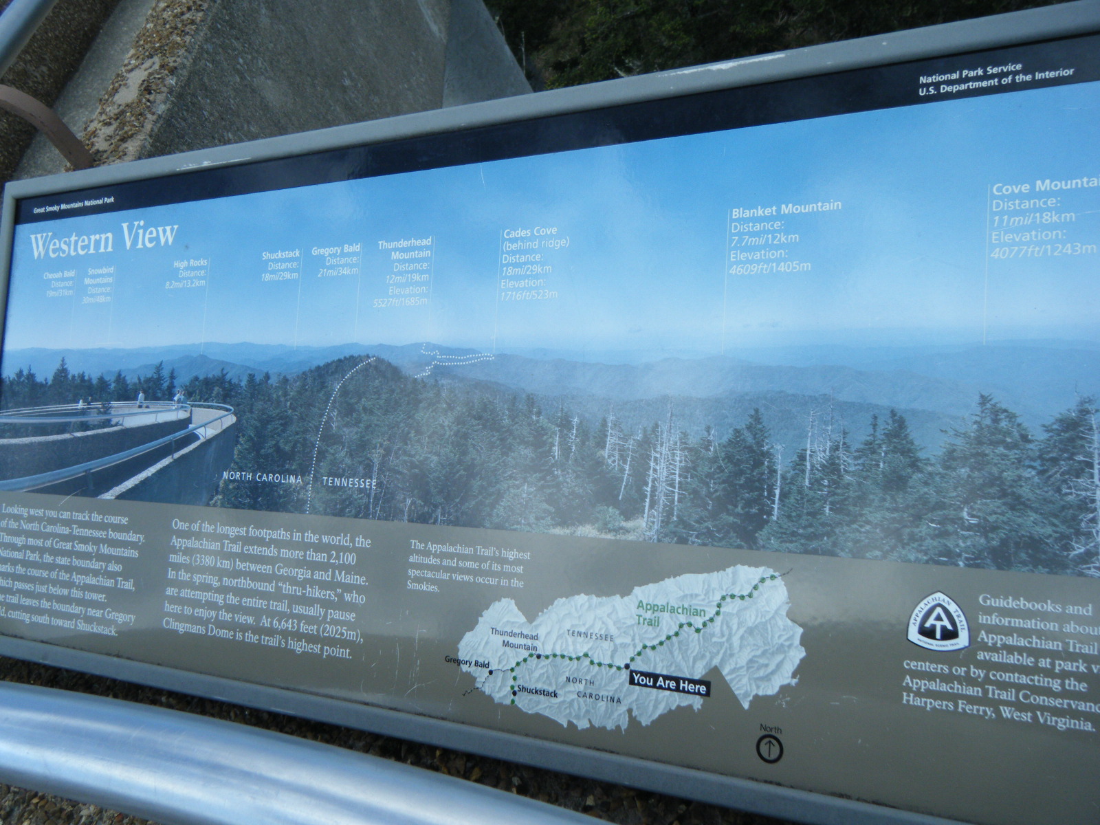
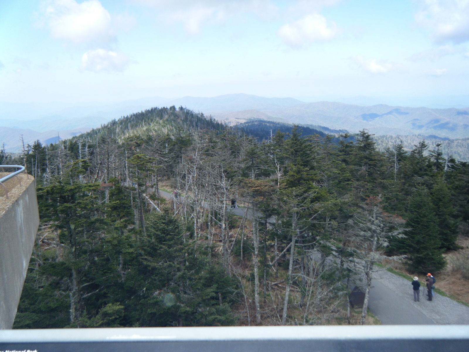
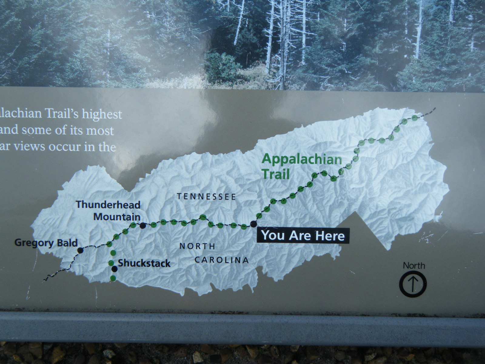
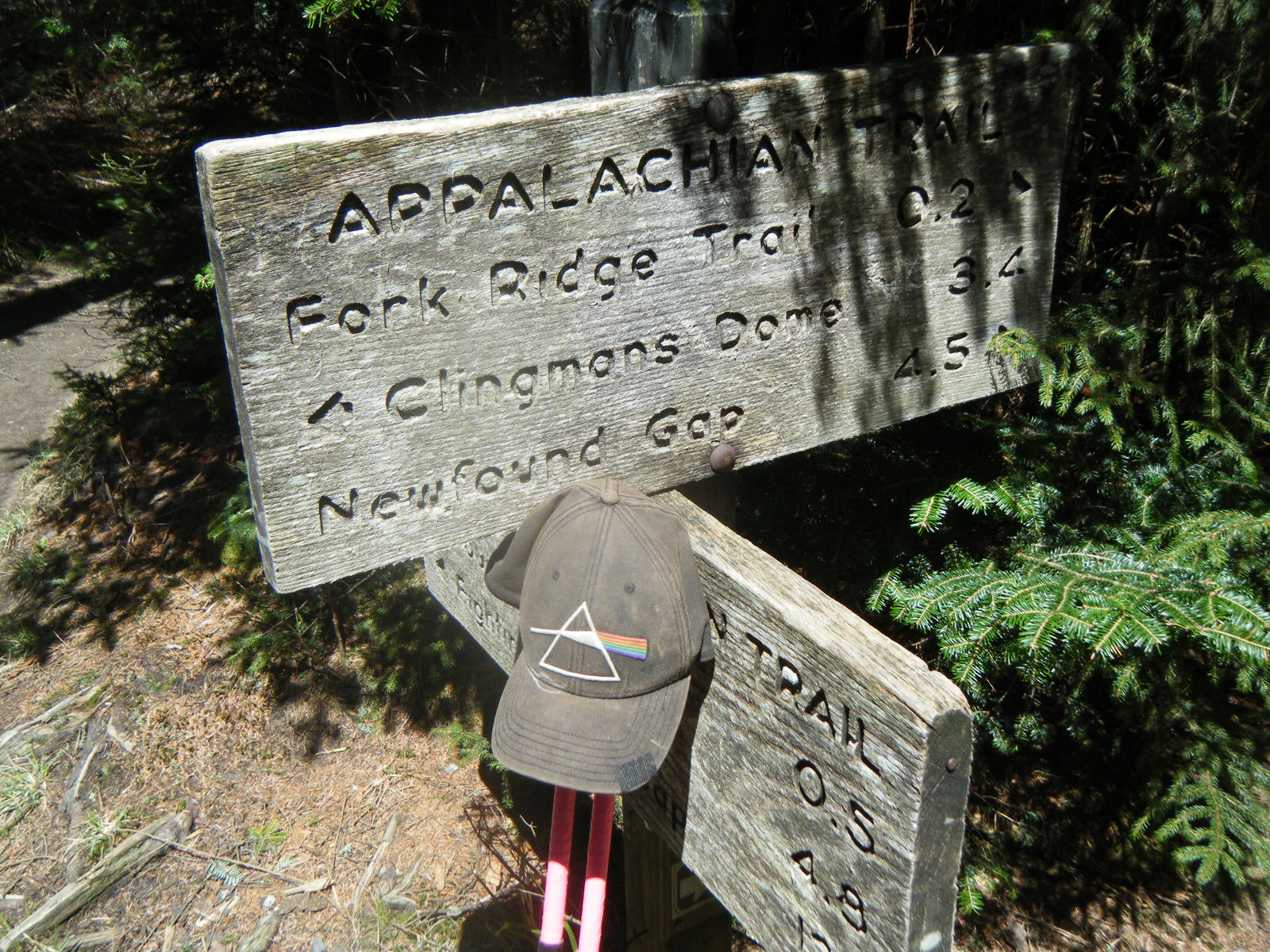
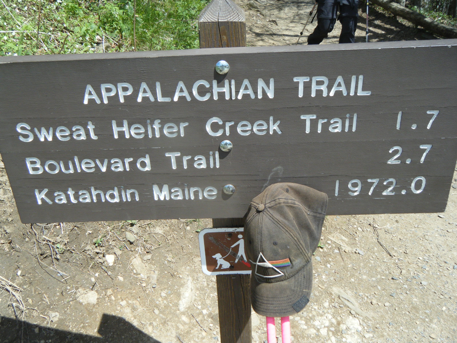
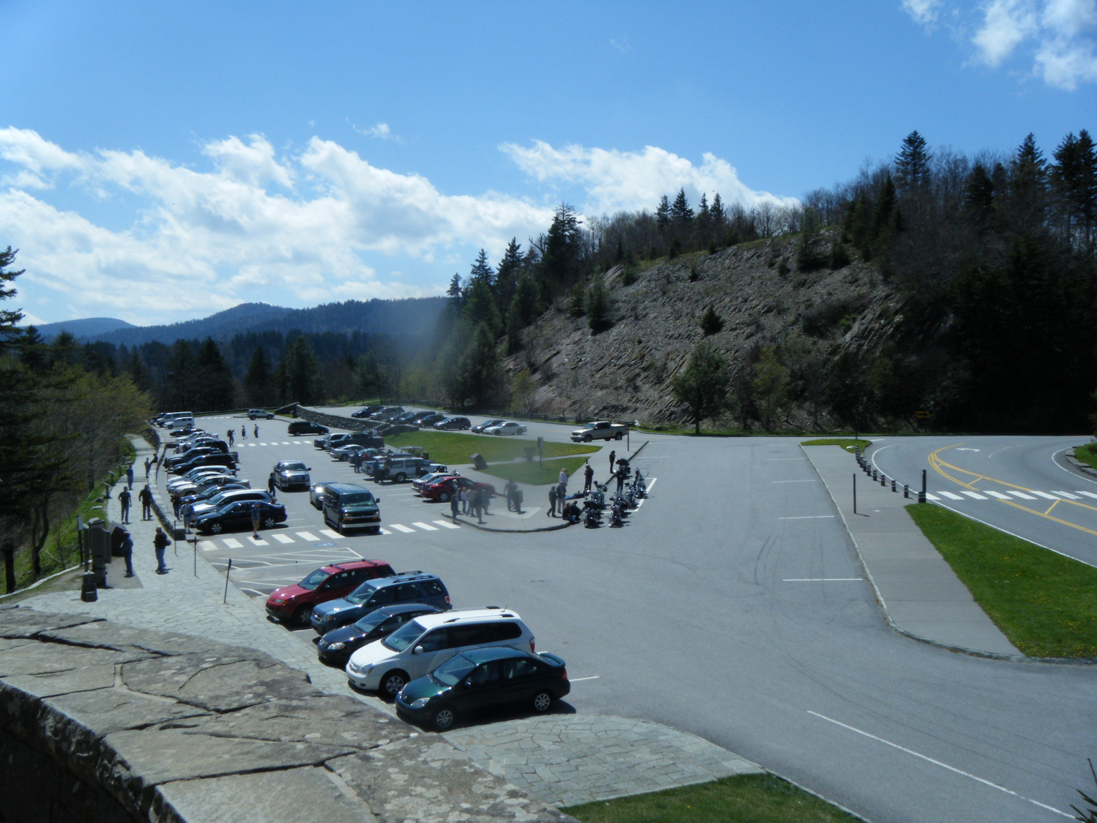
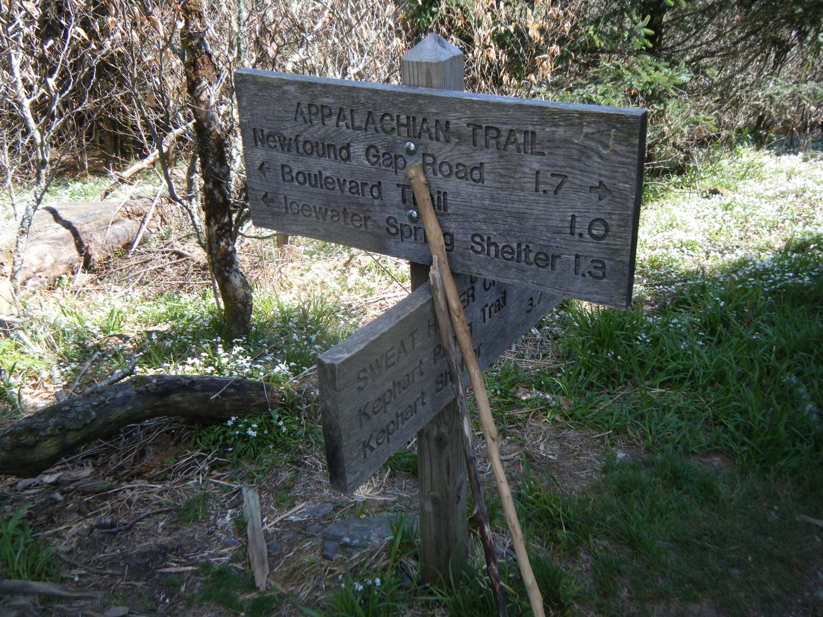
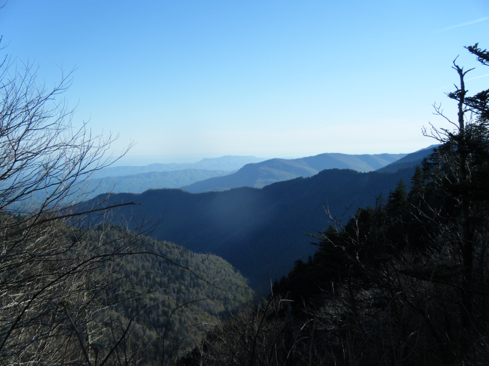
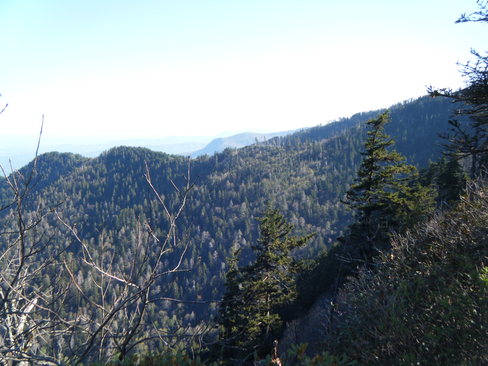
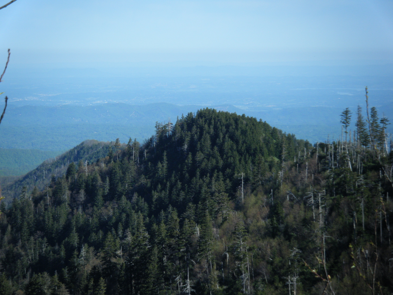
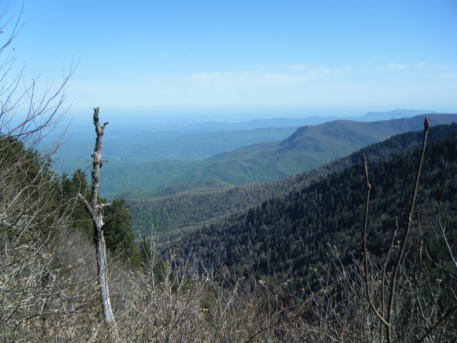
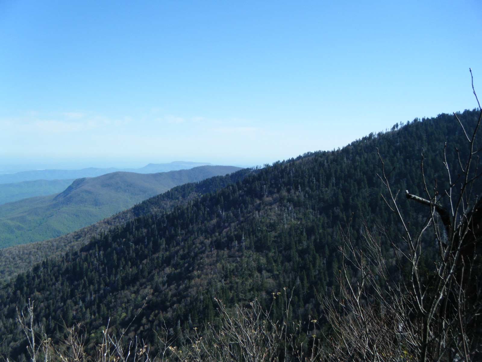
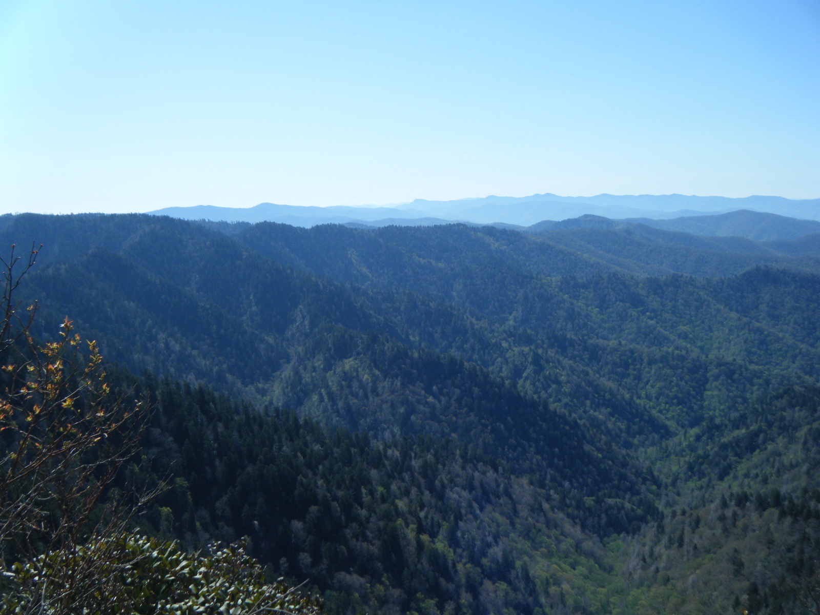
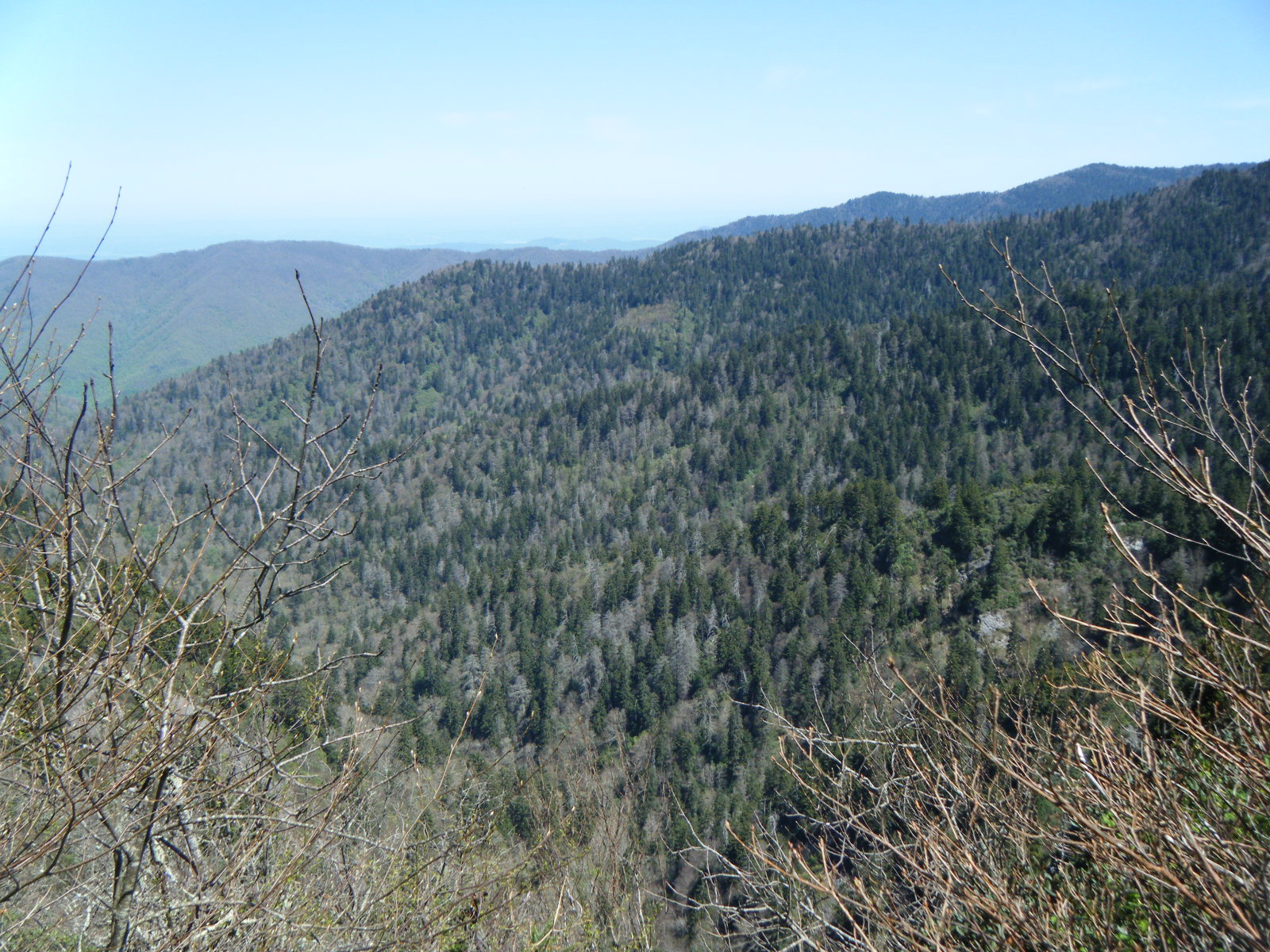
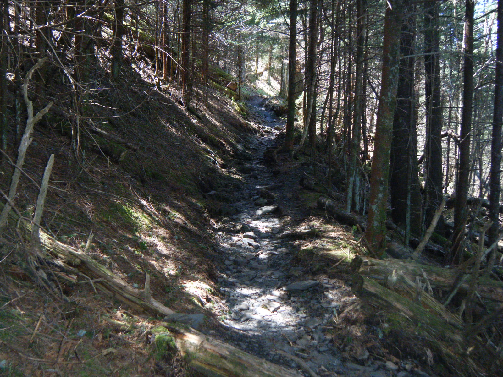
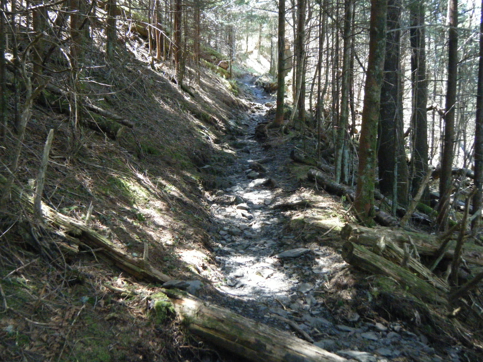
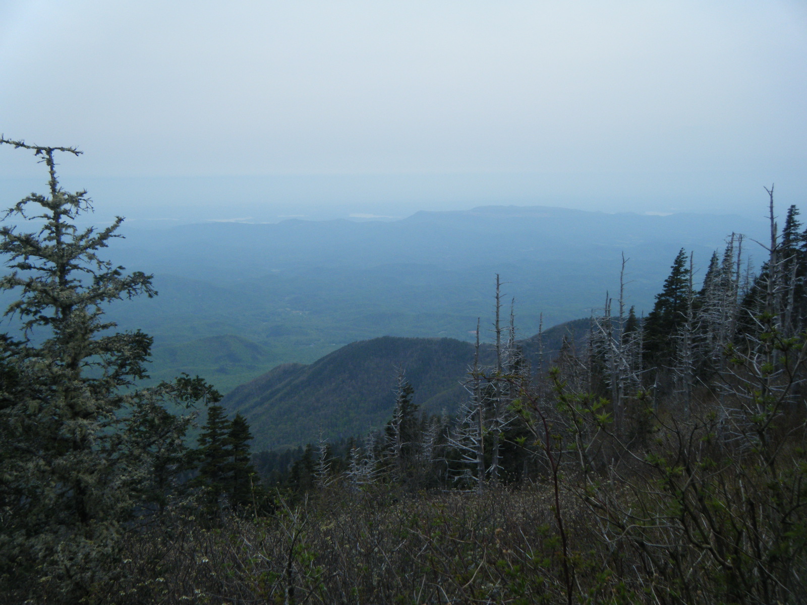
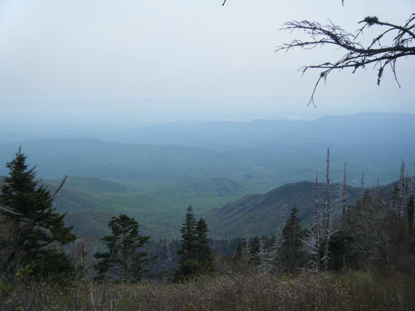
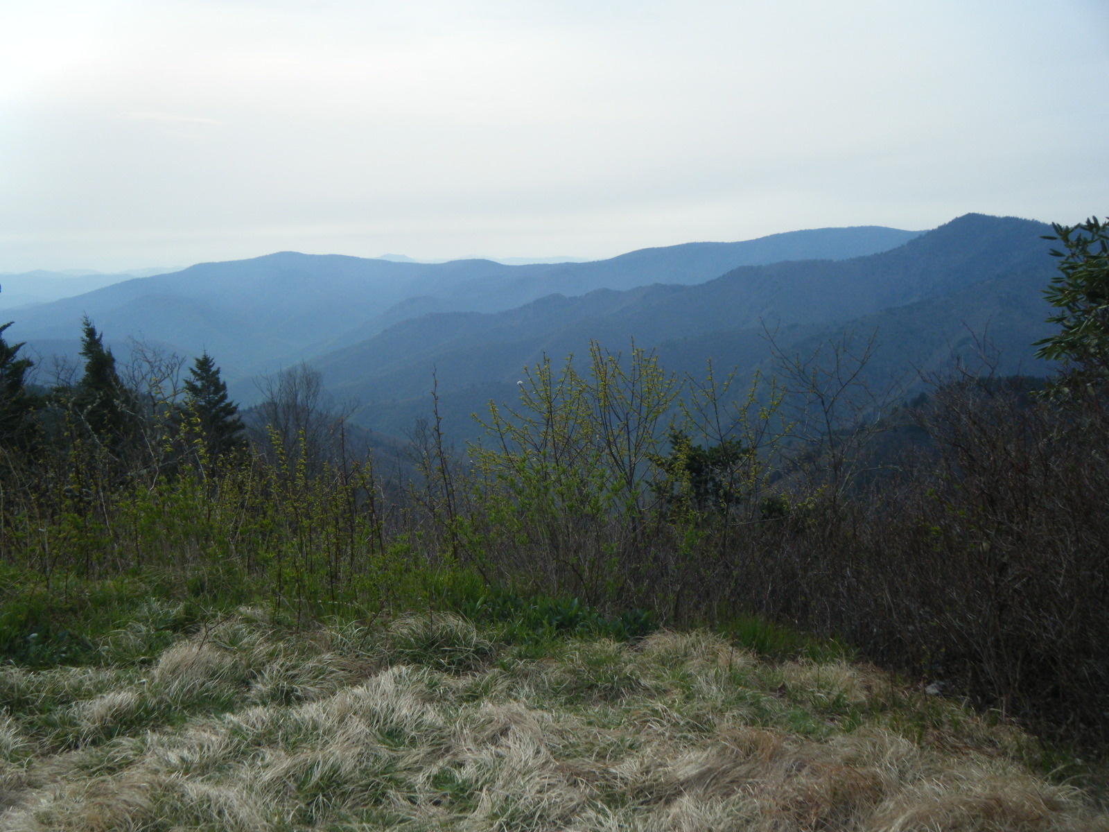
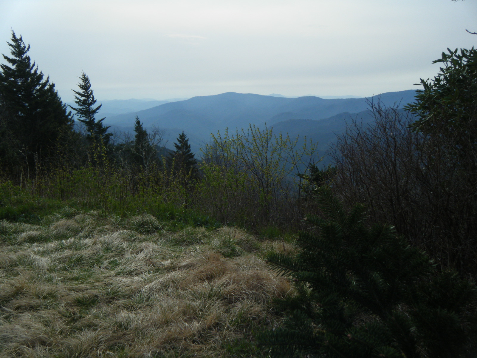
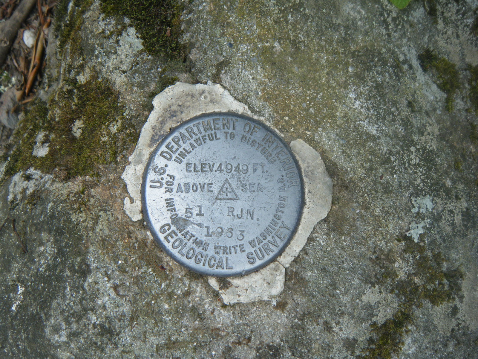
The next day I hiked 15.5 miles to Icewater Spring Shelter, and on the way I climbed to the top of Clingman’s Dome, the highest point on the entire AT. I’ll still be going up and down mountains, but none of them will get quite as high as I’ve been so far.
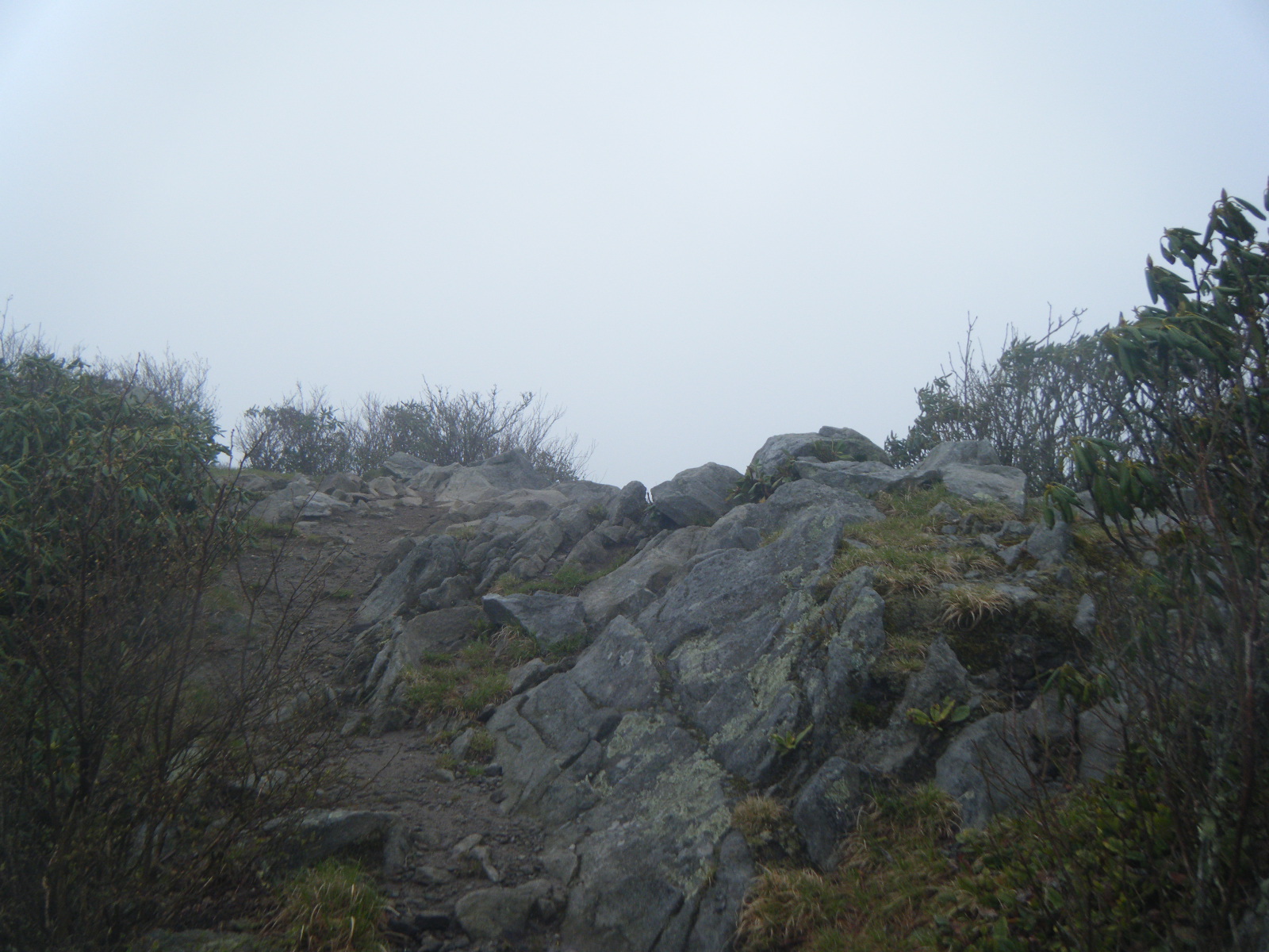
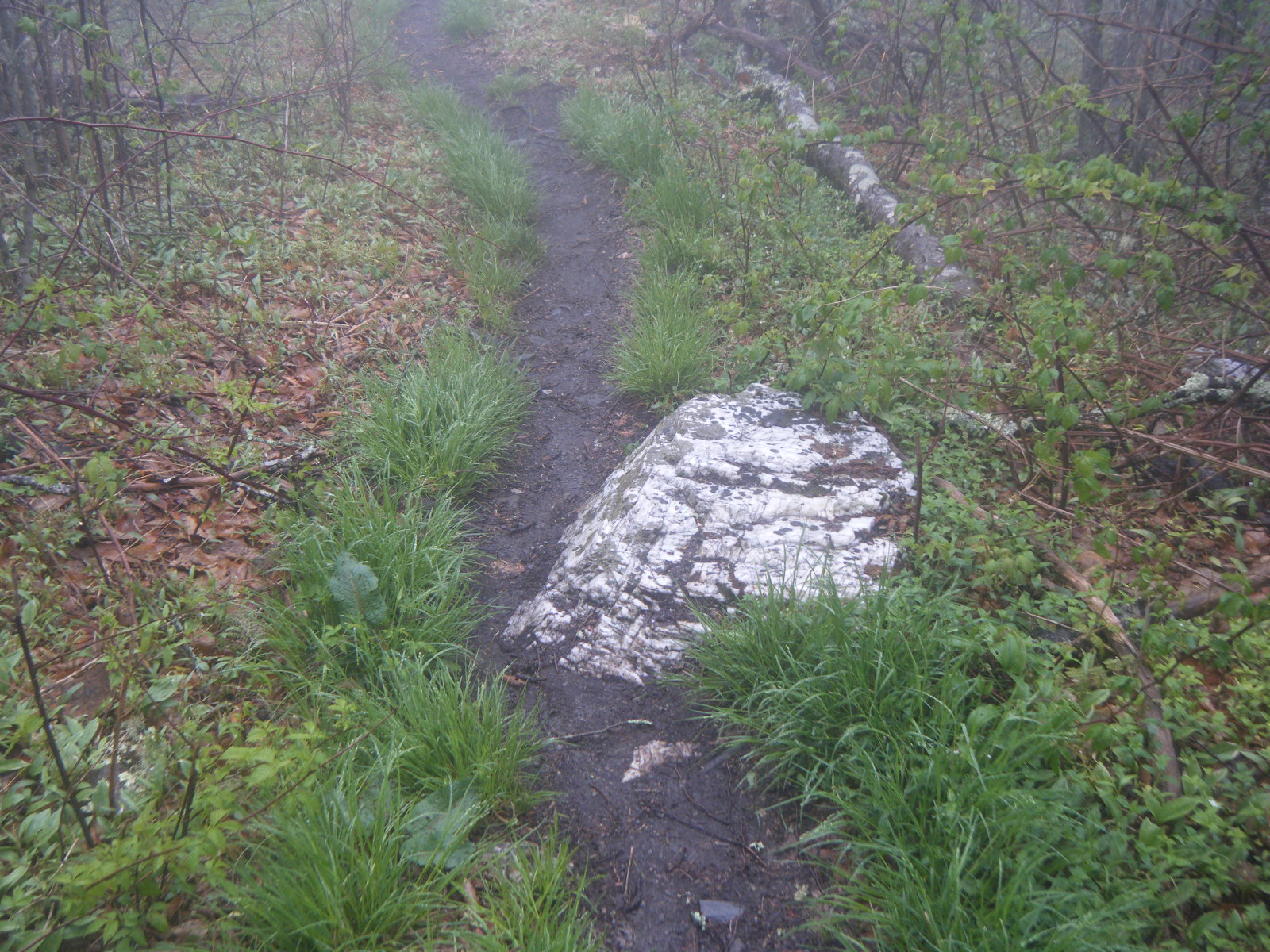
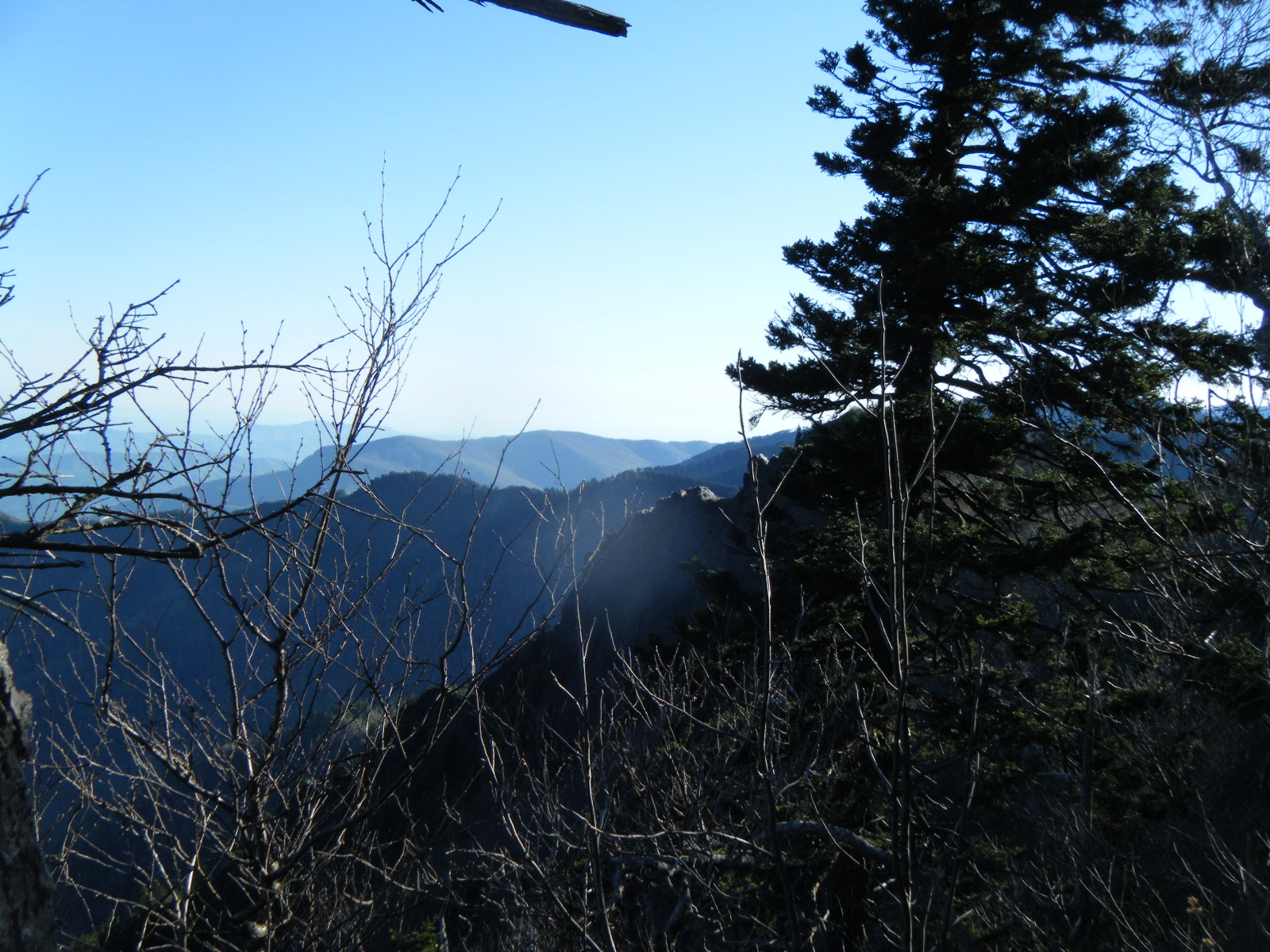
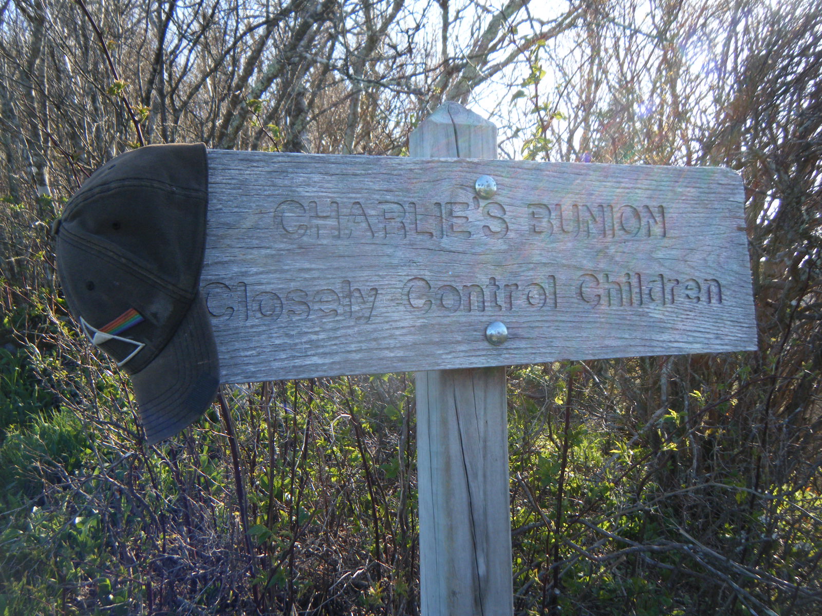
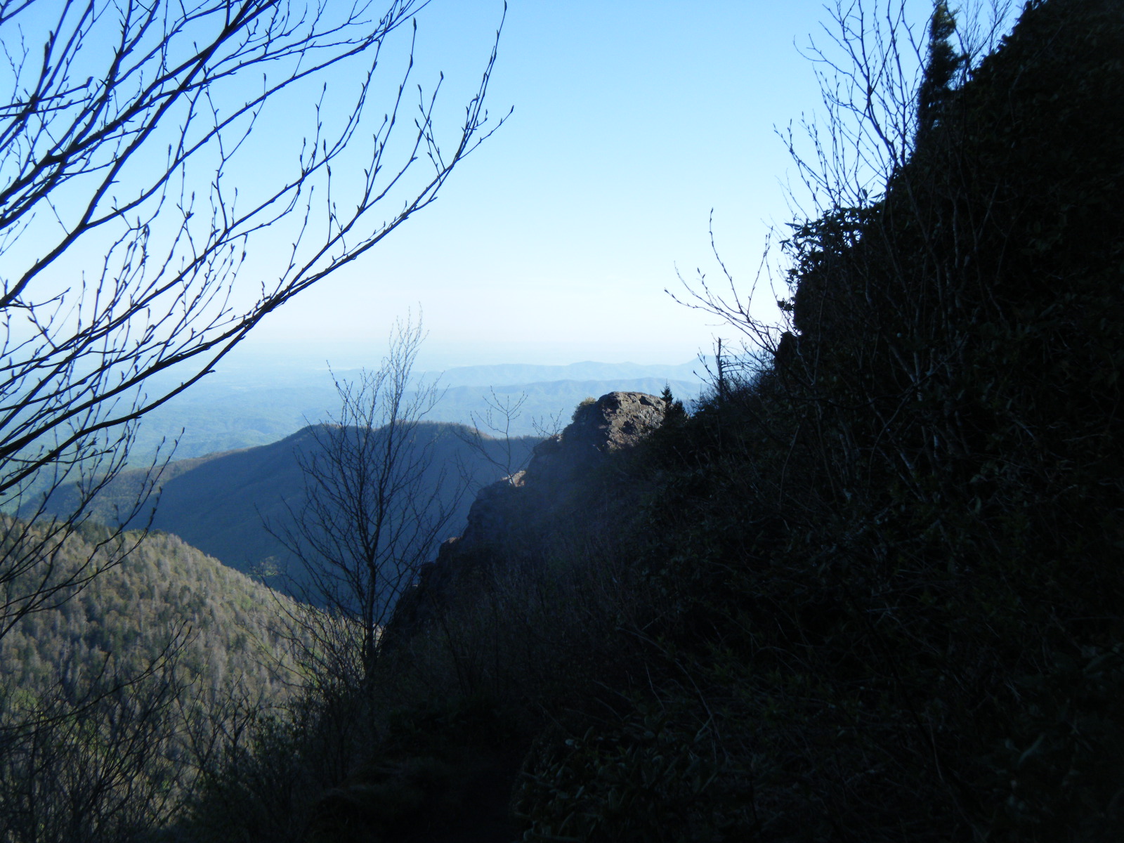
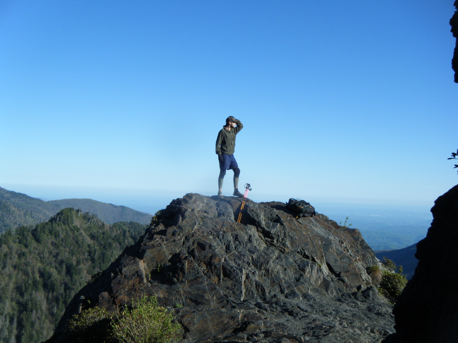
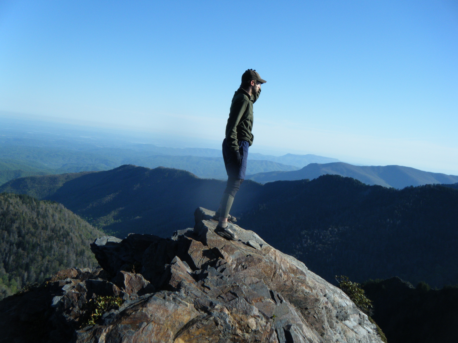
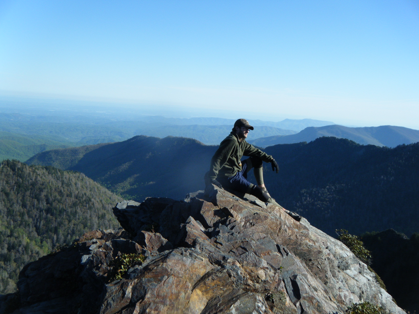
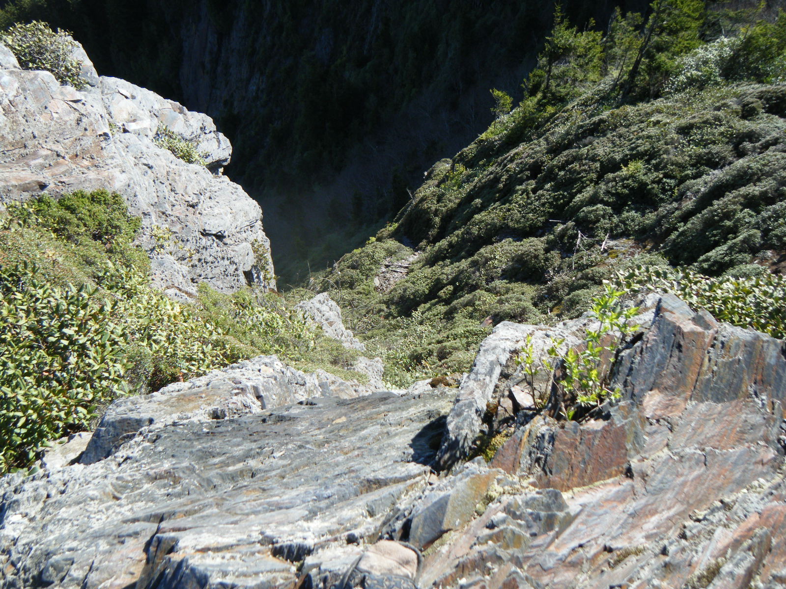
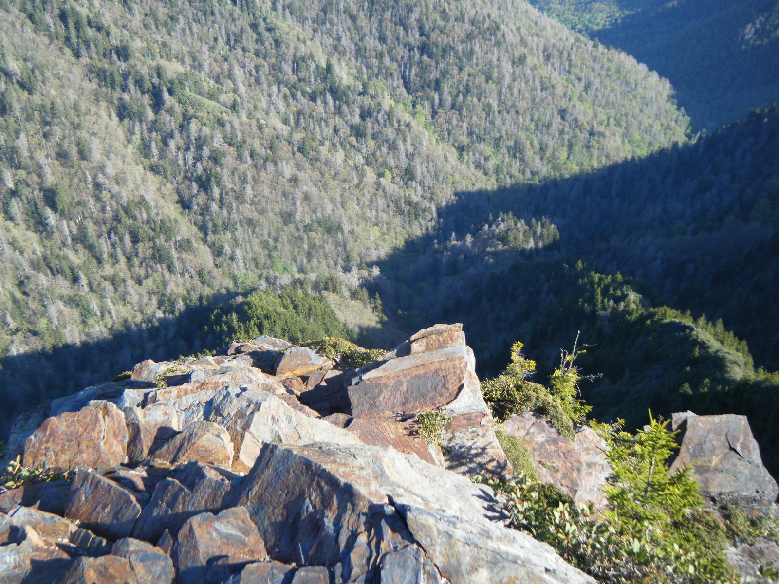
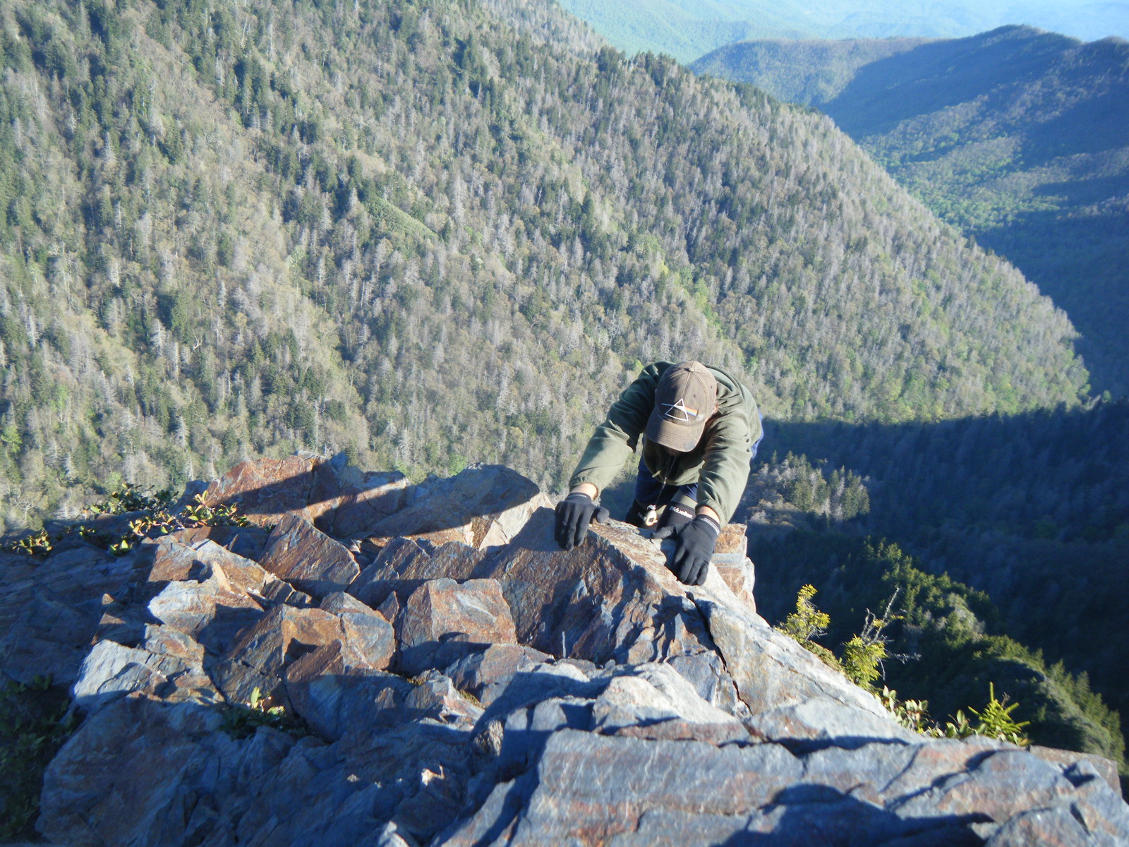
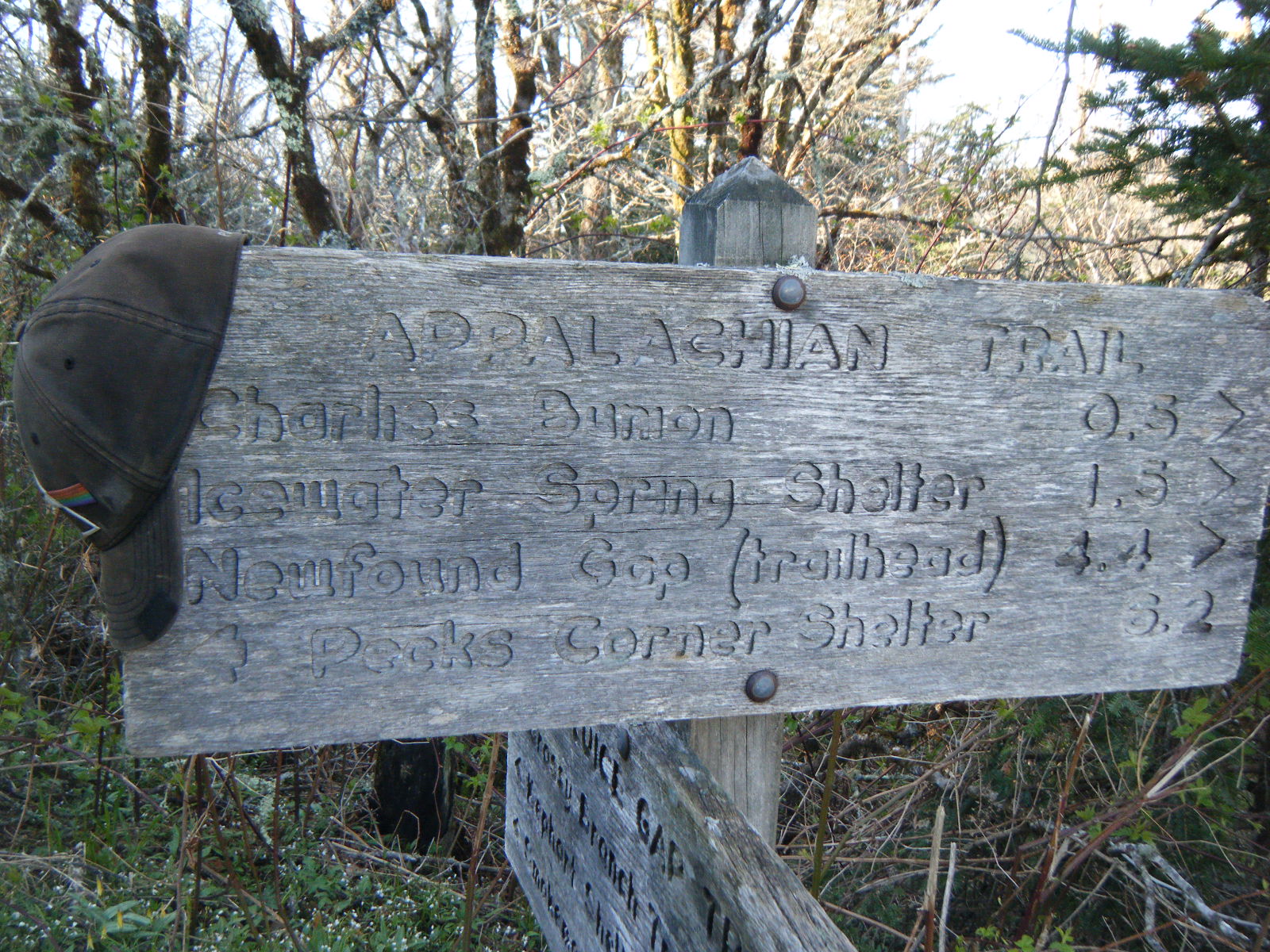
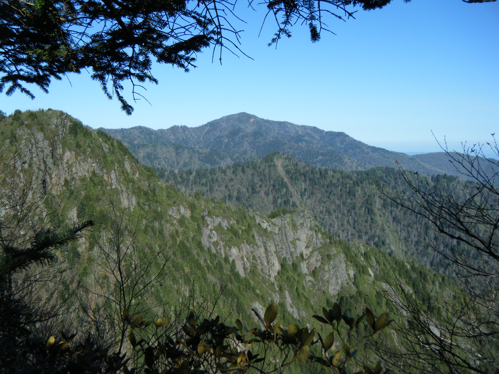
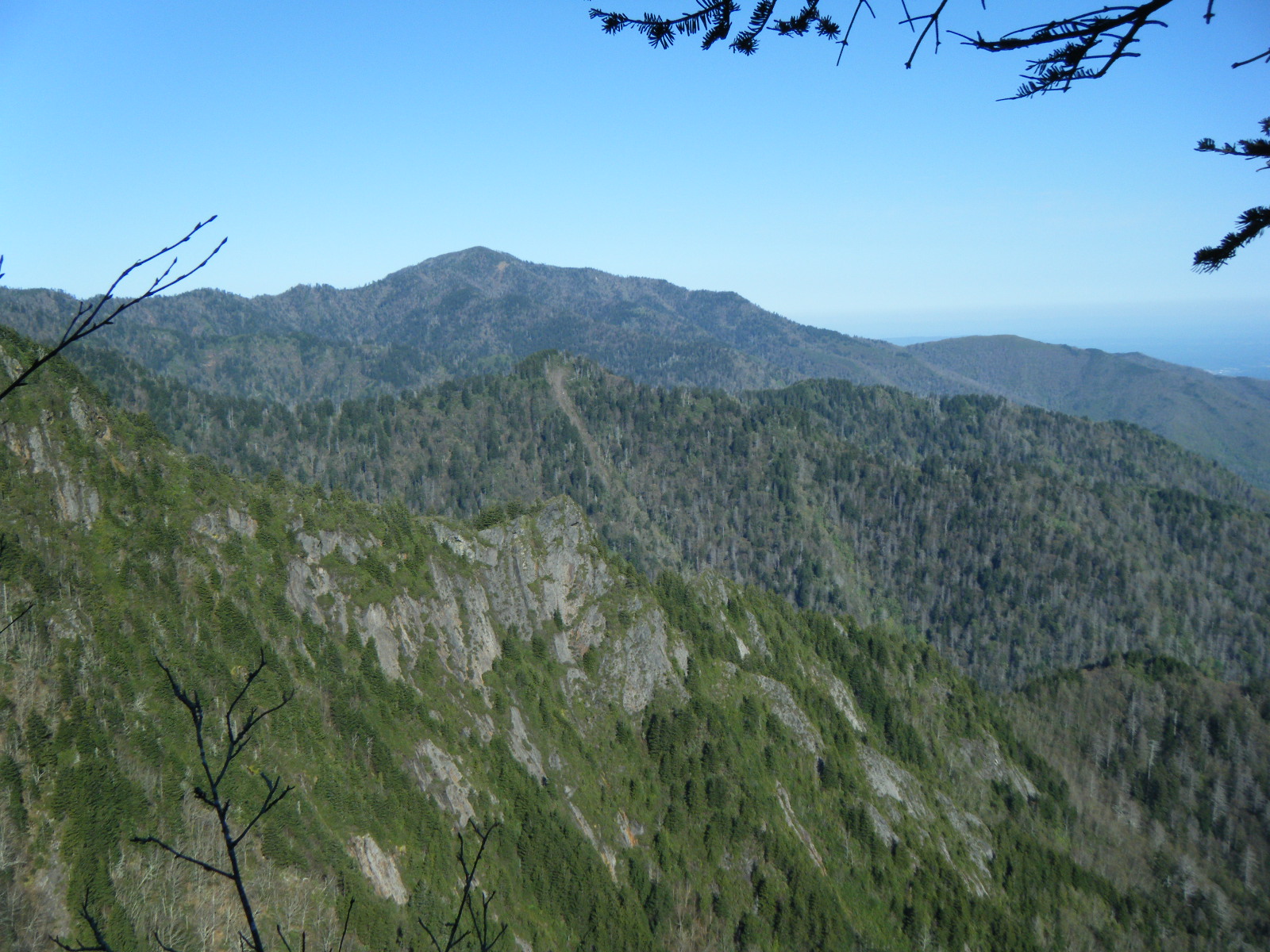
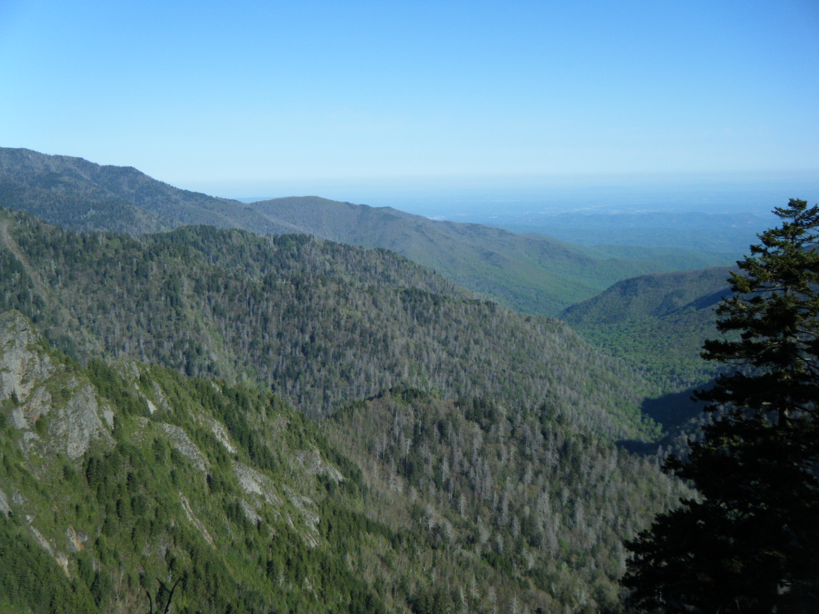
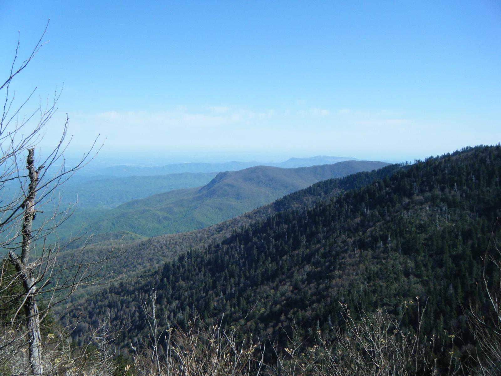
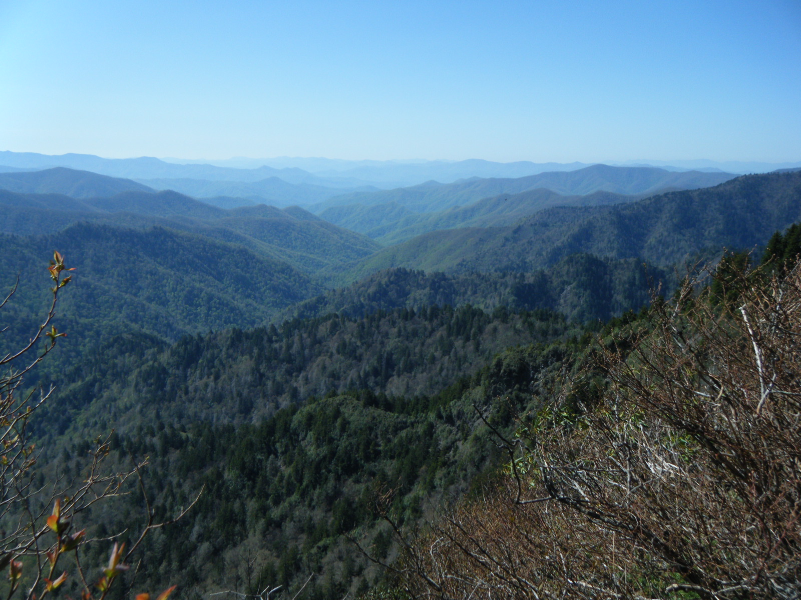
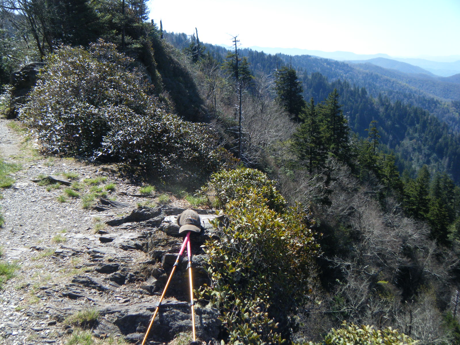
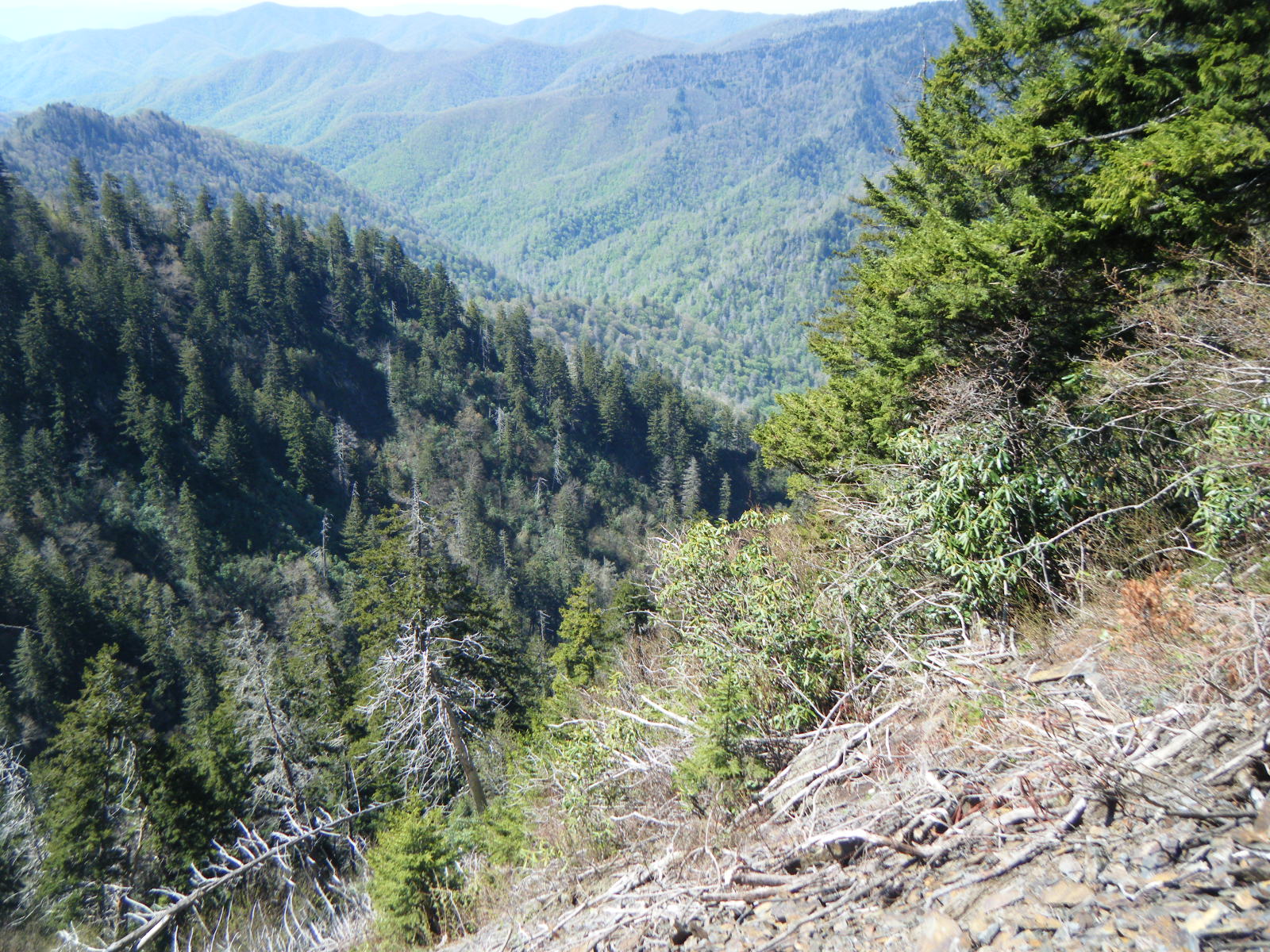
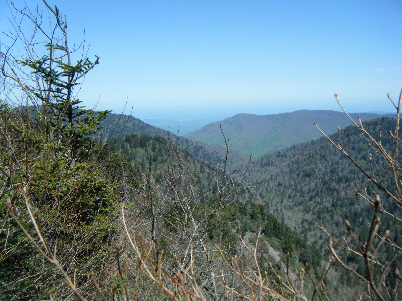
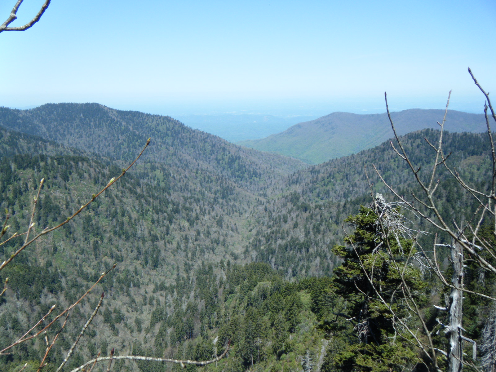
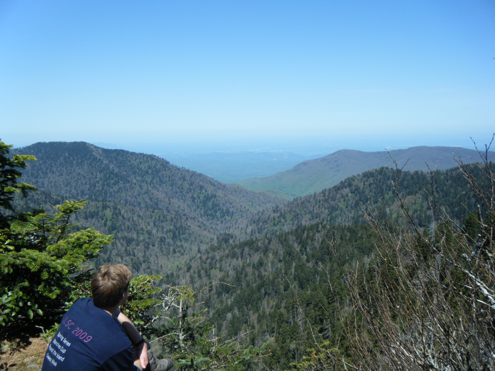
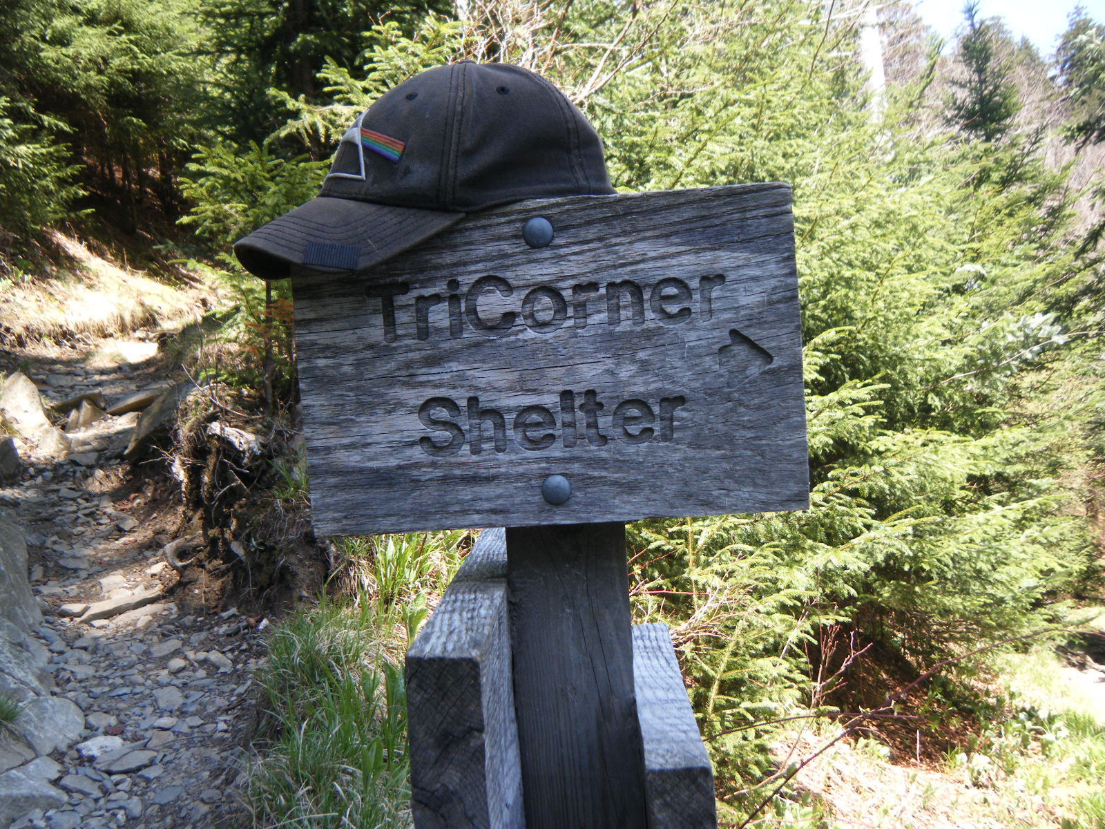
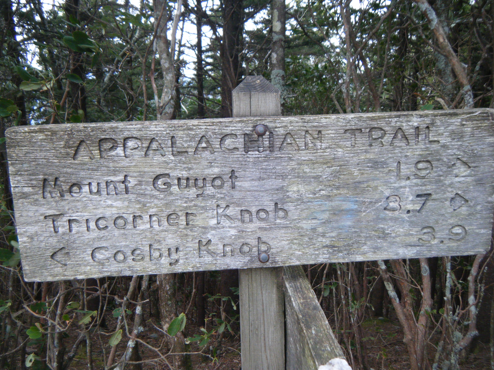
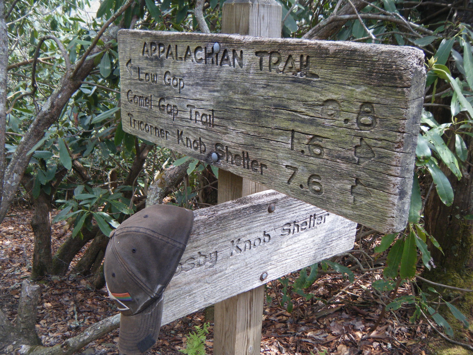
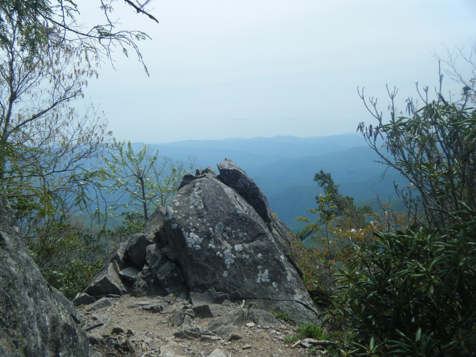
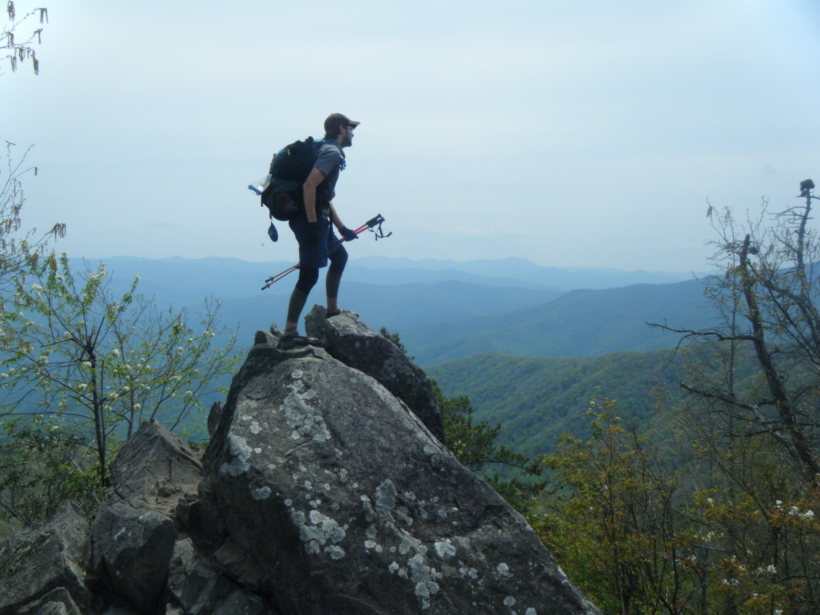
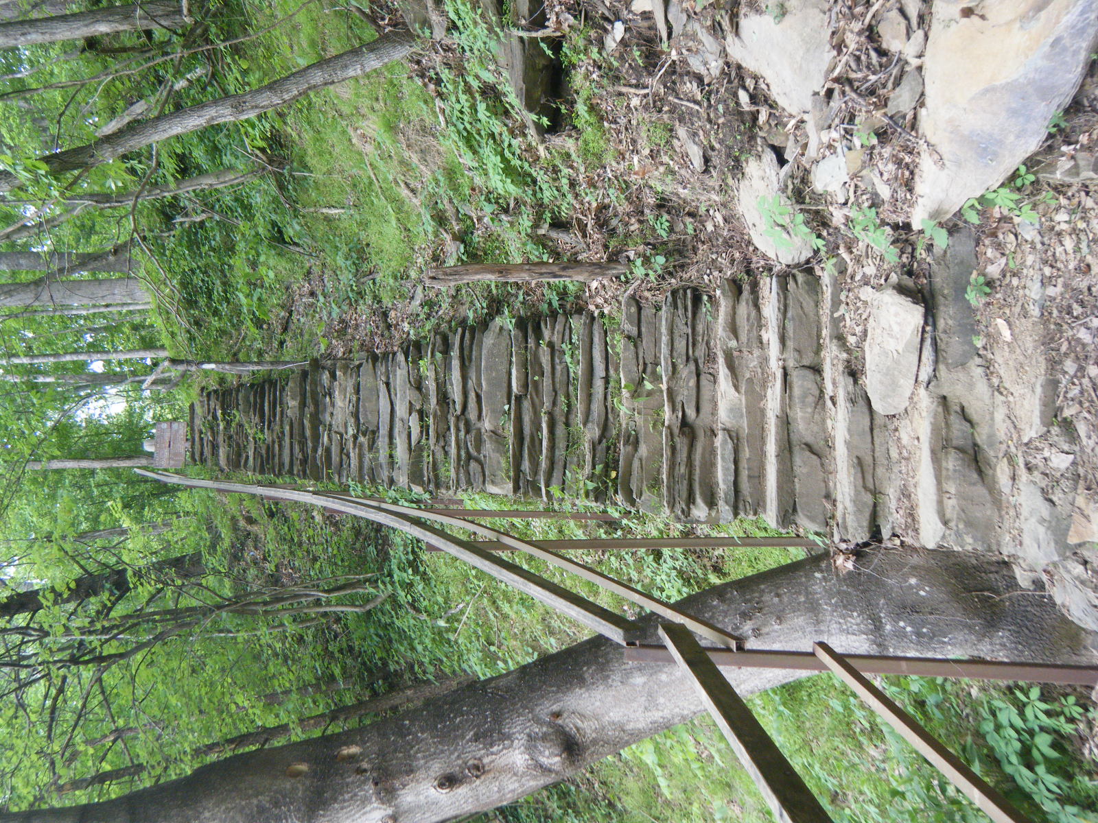
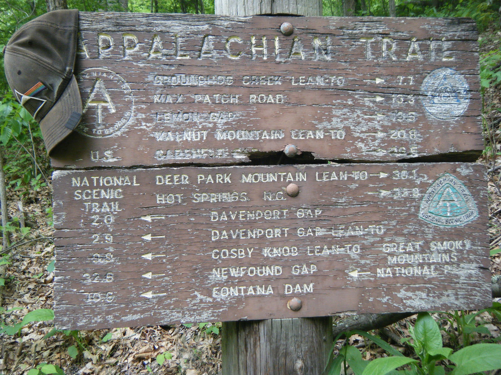
The following day I stubbed my toe on a rock. Until this point I’ve stubbed my sandals on a lot of rocks, but it never bothered me because my toes didn’t hit anything themselves, and since the sandals are open-toe, I didn’t even bump my toes into the shoe. Sandals rock. This day however, I smashed my left pinky toe into a rock directly. That sucked, but sandals still rock. I also came upon Charlie’s Bunion this day, which beat Raven Rock for the best view on the trail so far. I stayed at Tri-Corner Knob Shelter that night after going 12.6 miles. As of this shelter, I’m 10% done.
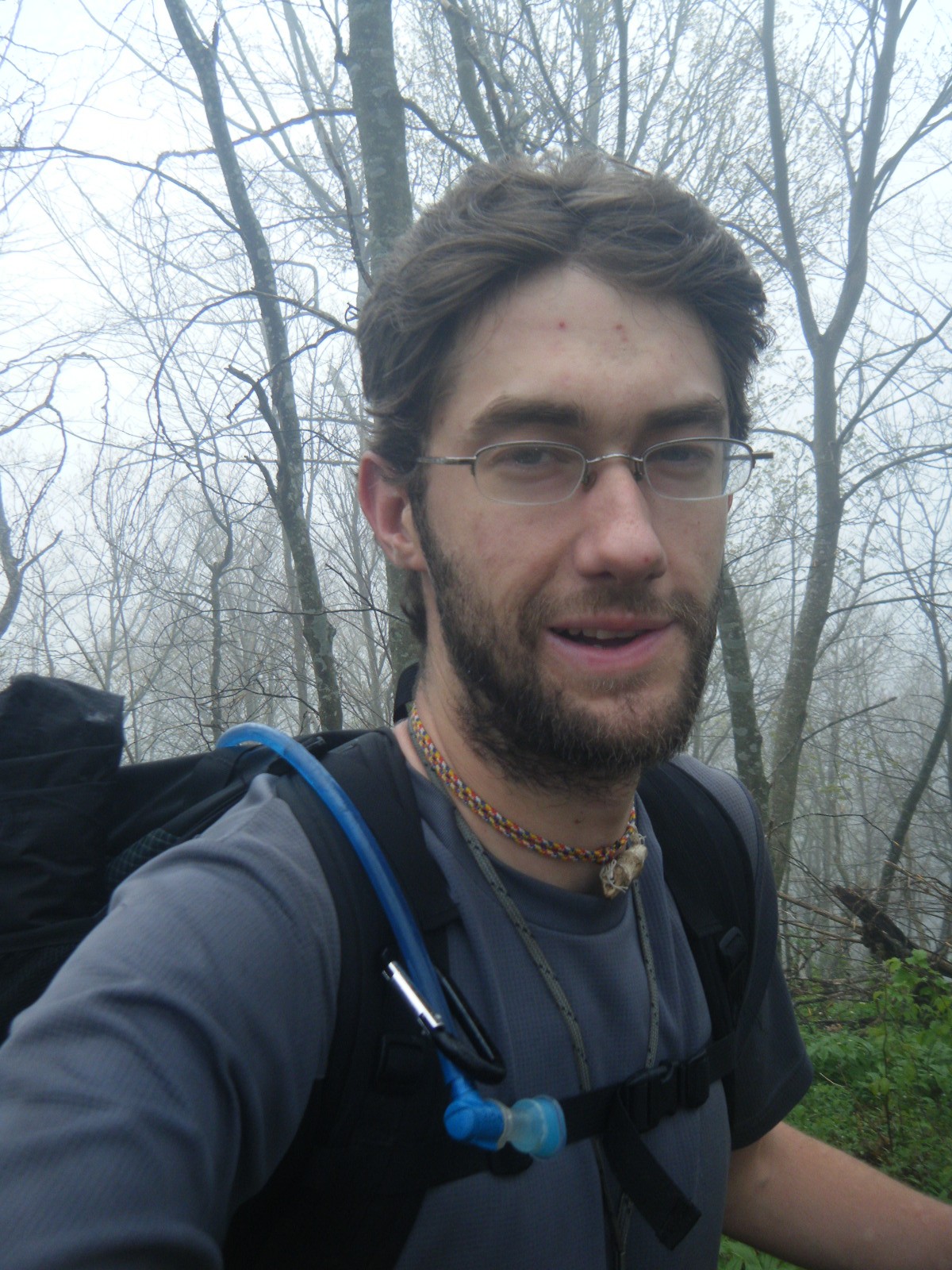
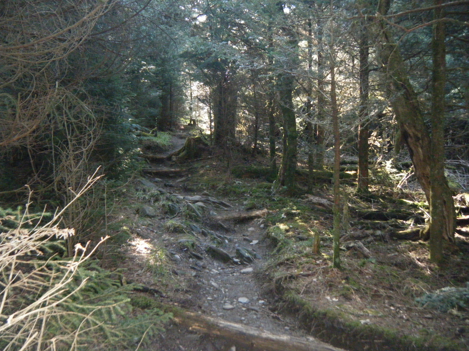
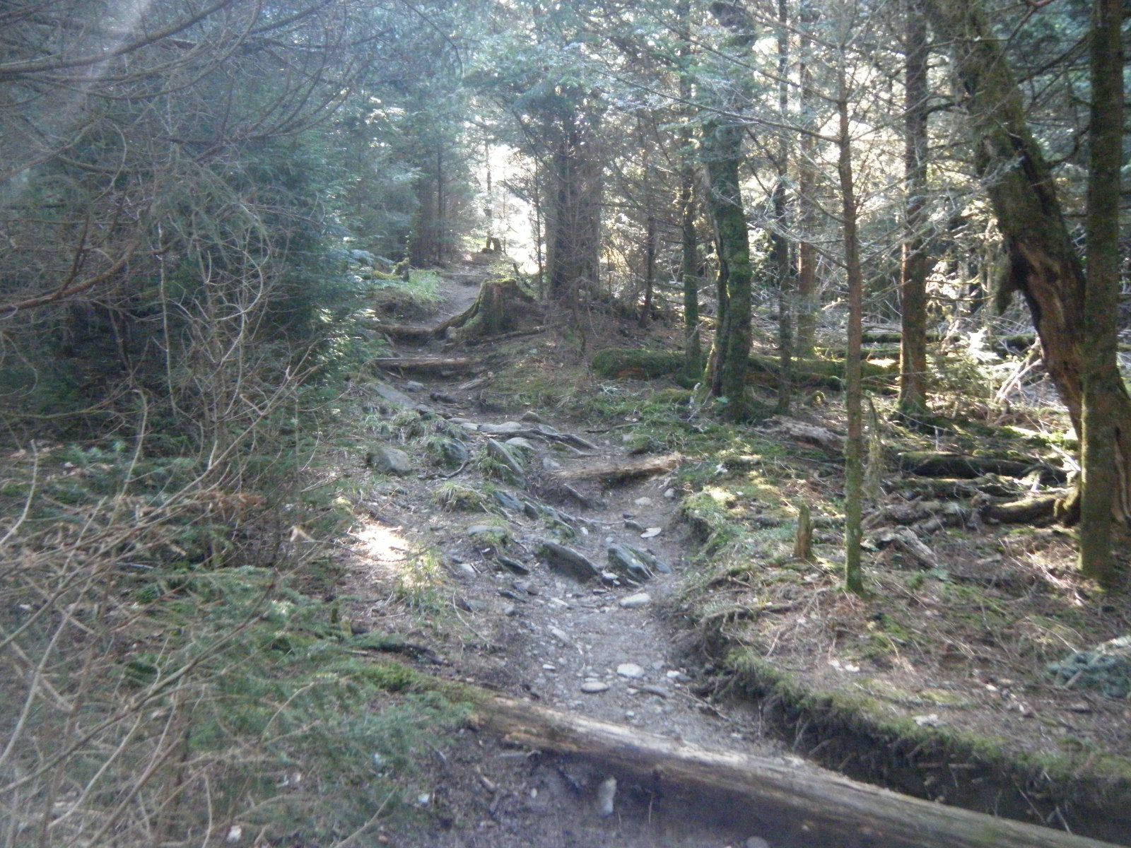
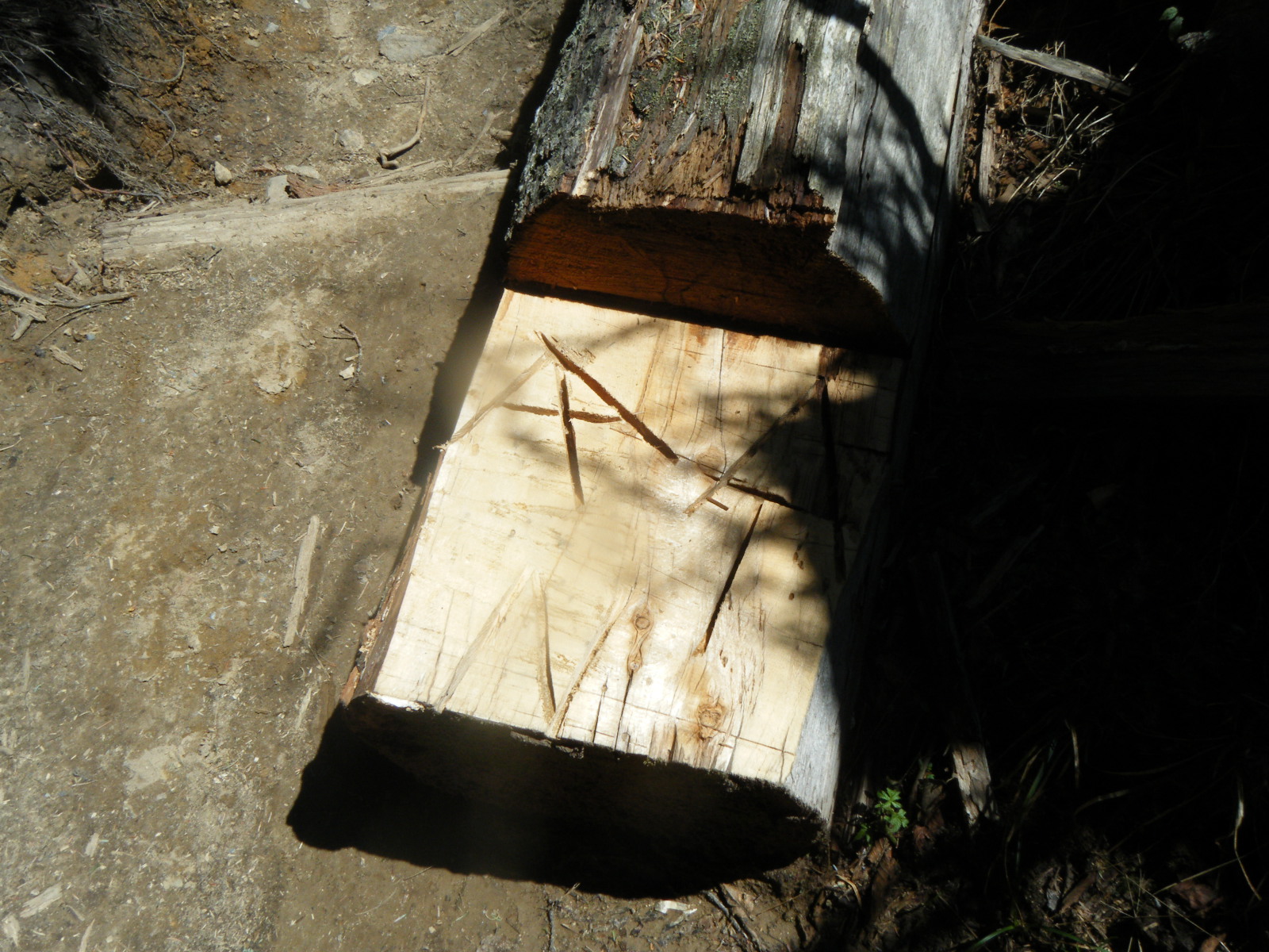
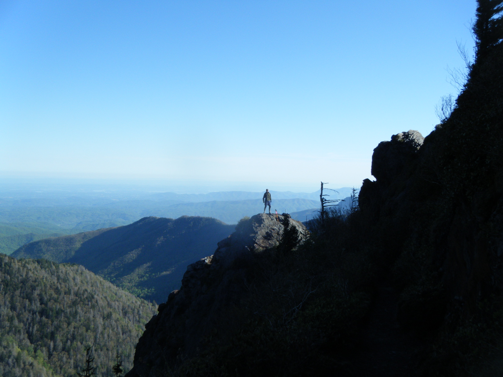
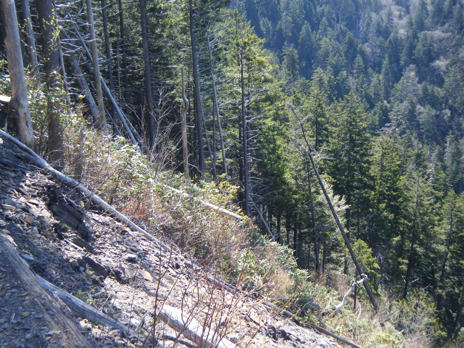
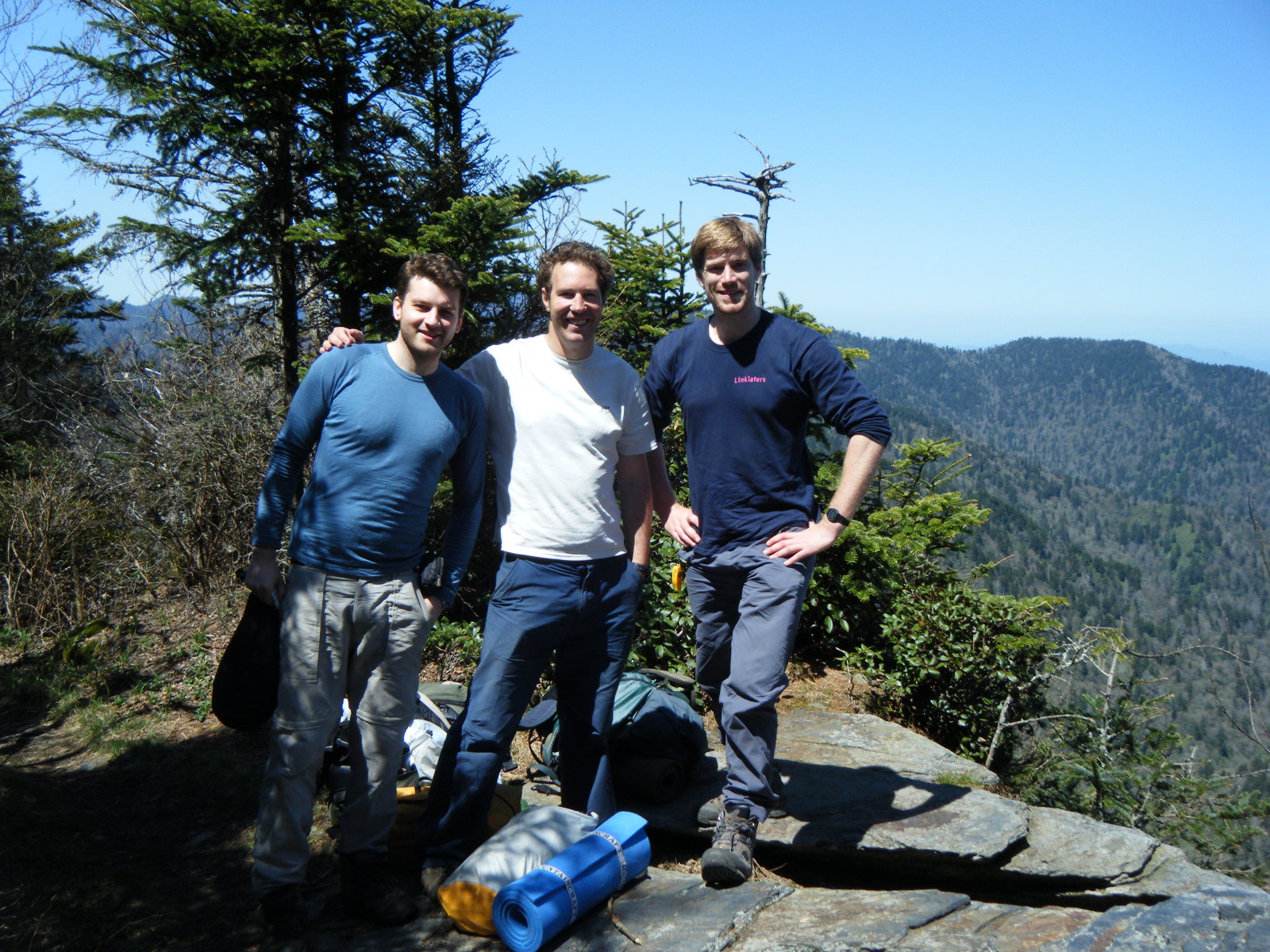
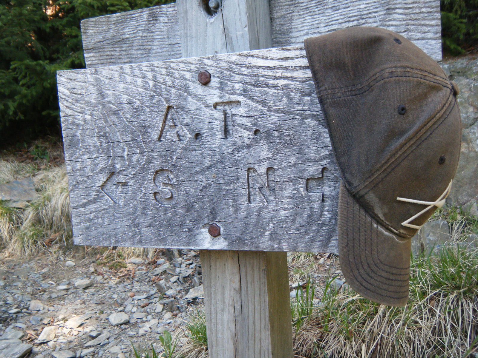
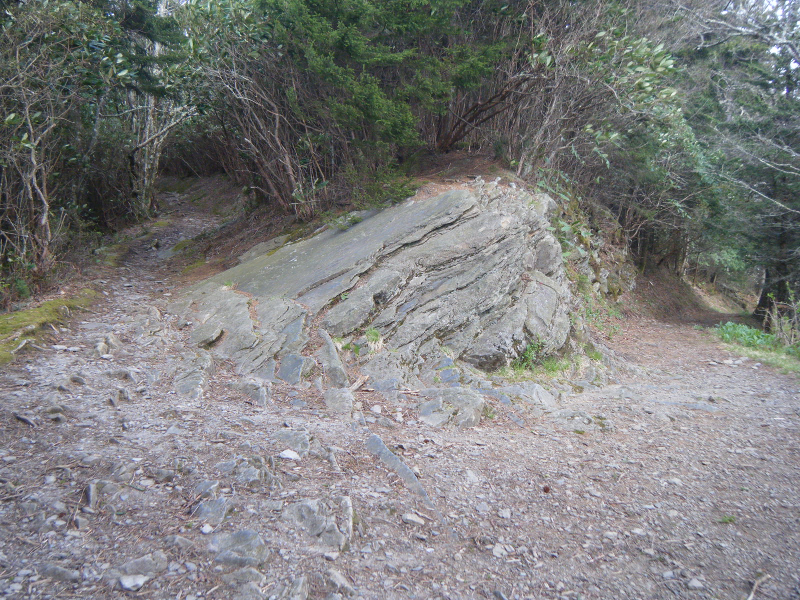
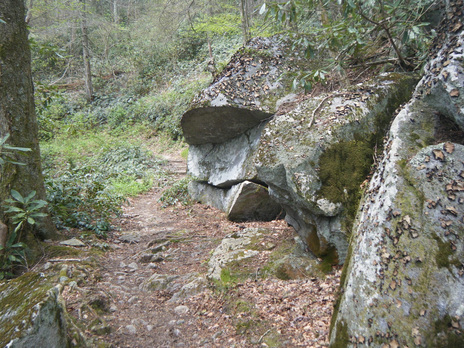
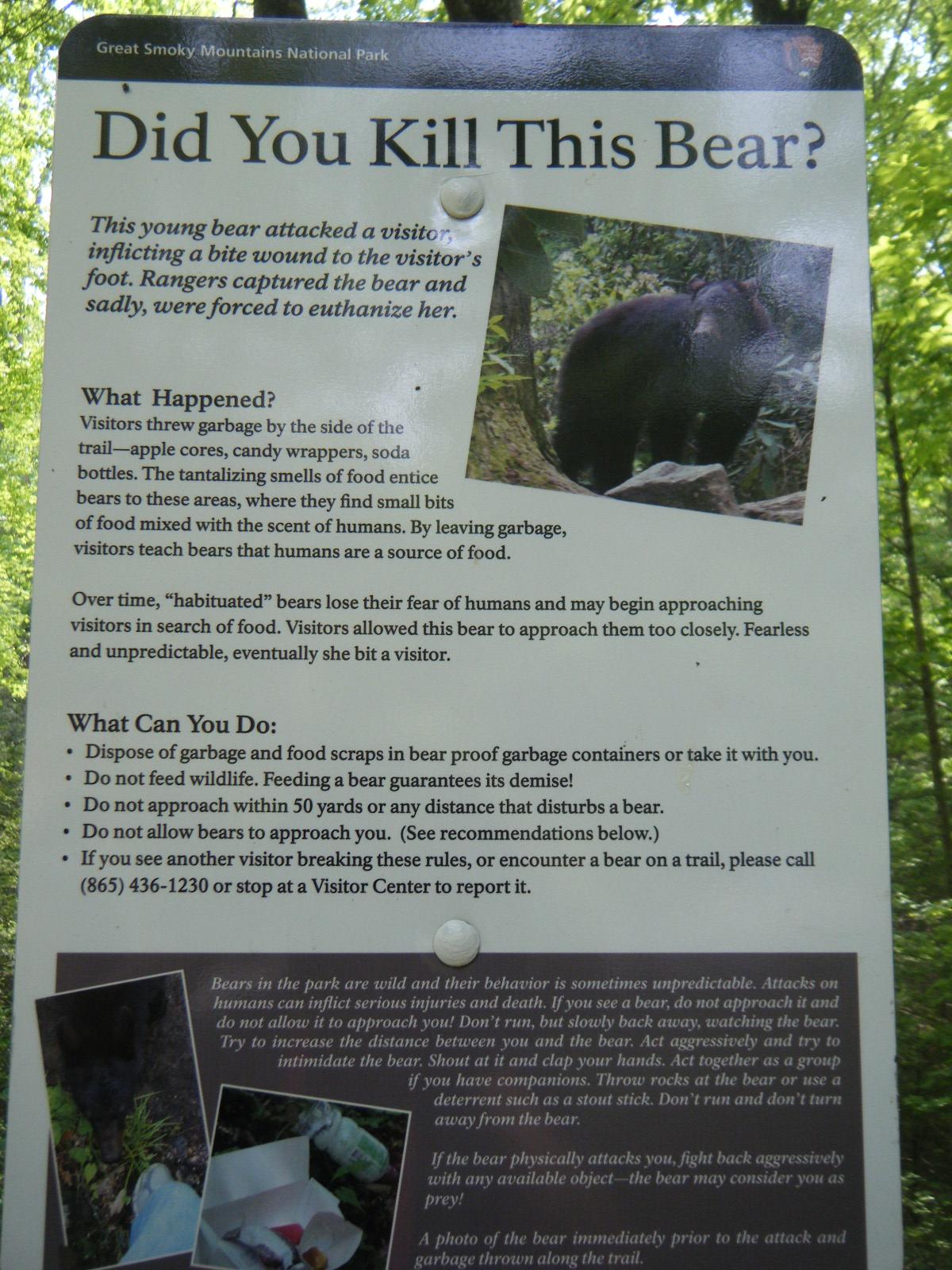
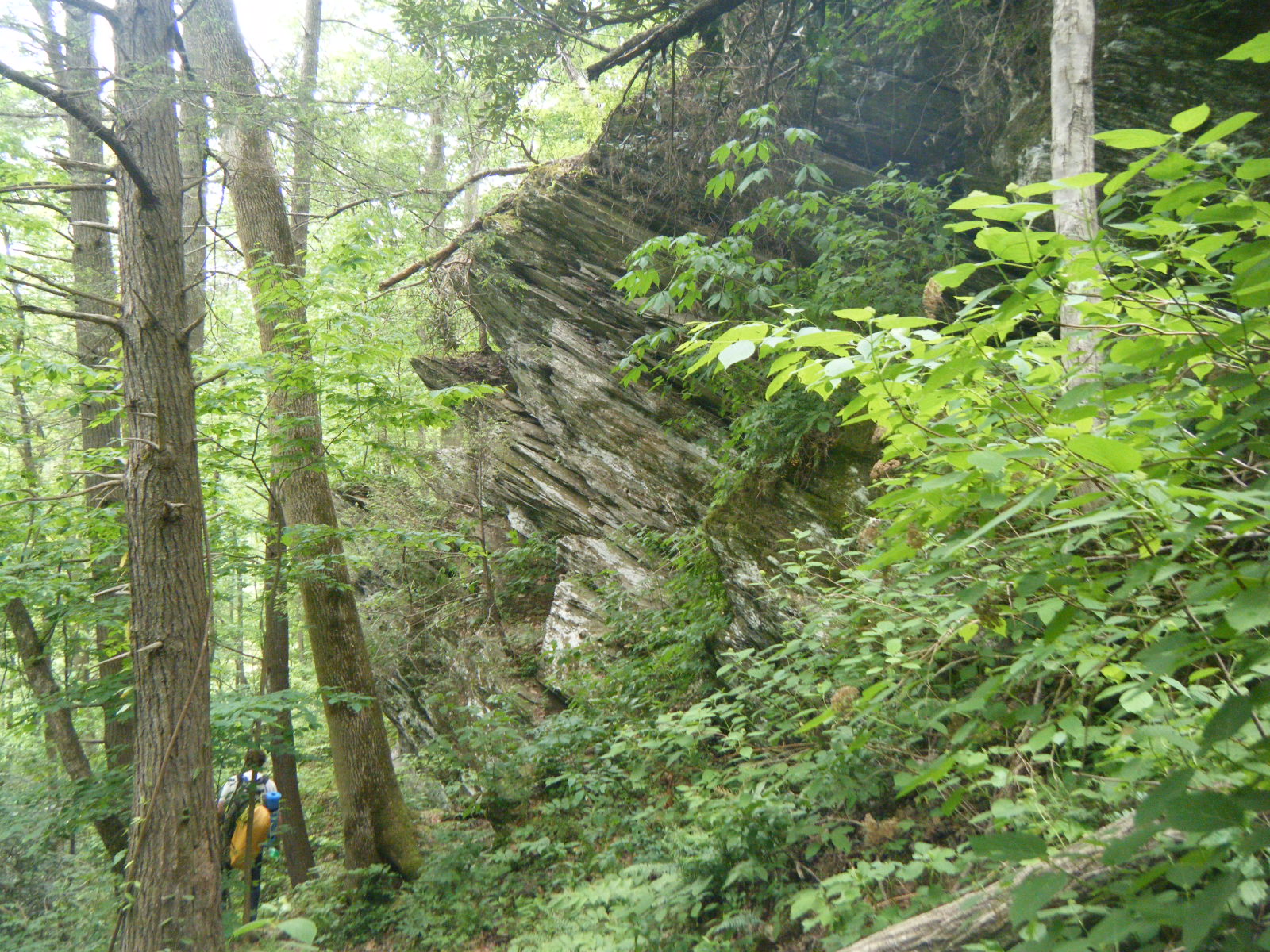
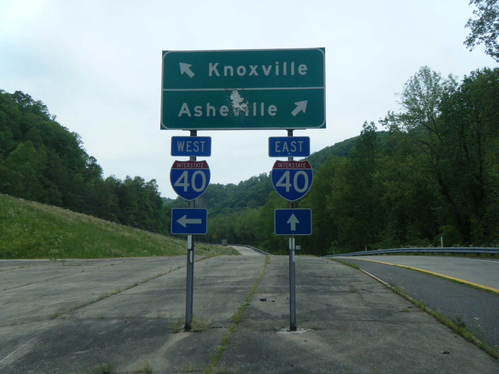
The next day I left the Smokies. This involved over a mile of elevation drop. Halfway there I stopped for lunch at Cosby Knob Shelter, and met the fellows from London here. They informed me that the three people who had just left had seen a bear at this shelter right before they left, and that the bear had gotten rather close to them. When the Londoners left, I did the same rather than be caught by myself, with food, by a rather inquisitive bear. On the way down the mountain I found a rock that made for a great picture. At the bottom I parted ways with the Londoners as they caught a shuttle to Ashville and I continued on to Standing Bear Farm.