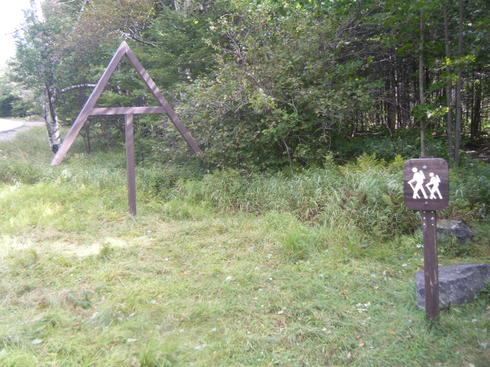
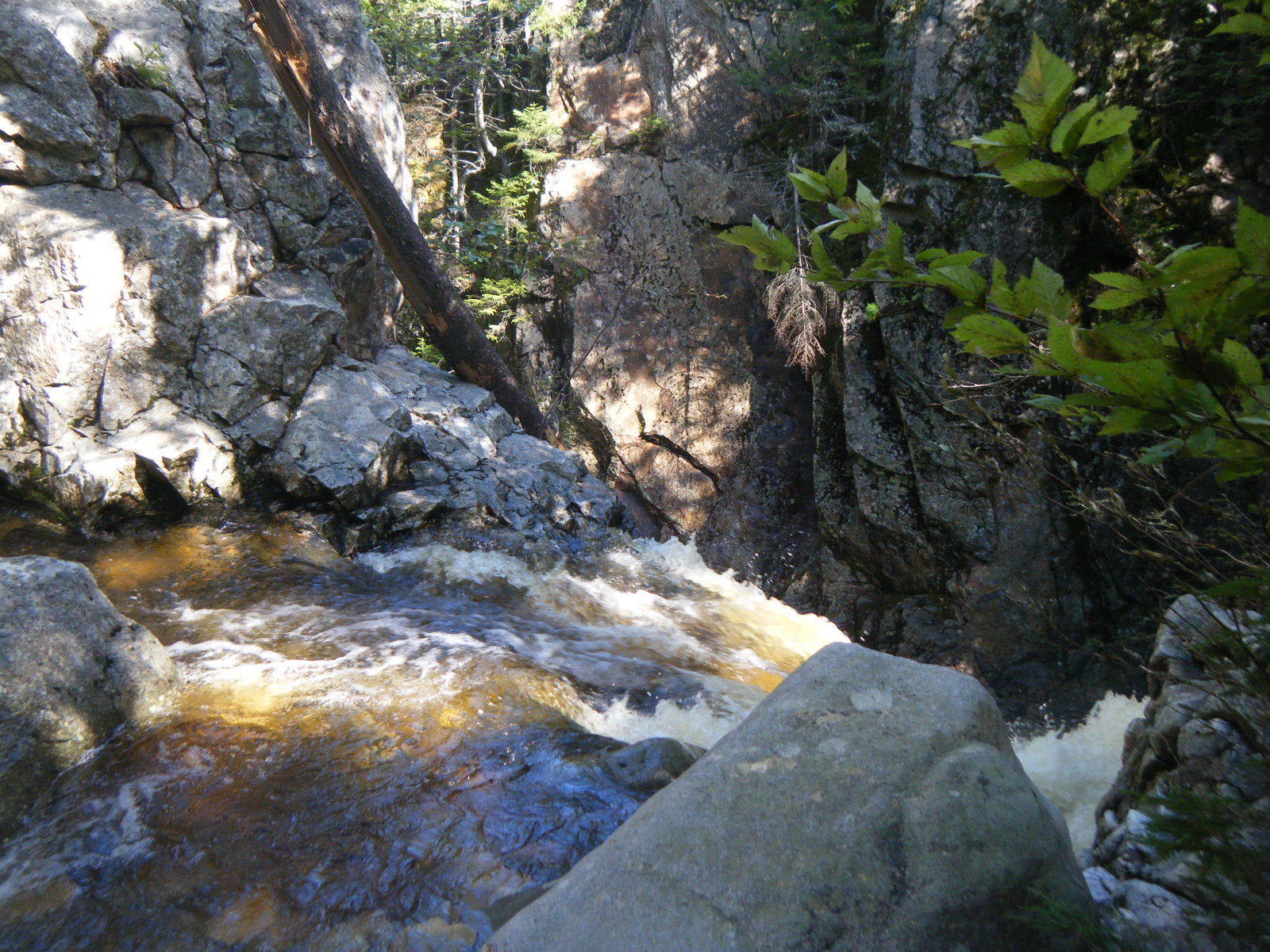
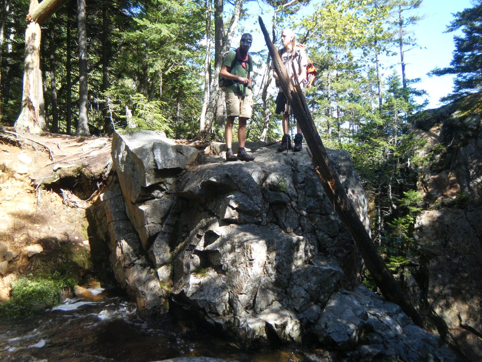
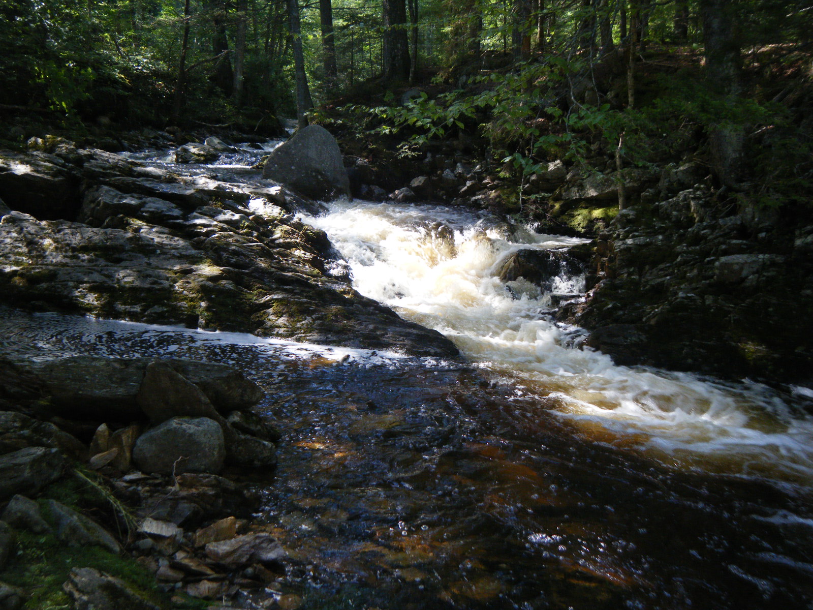
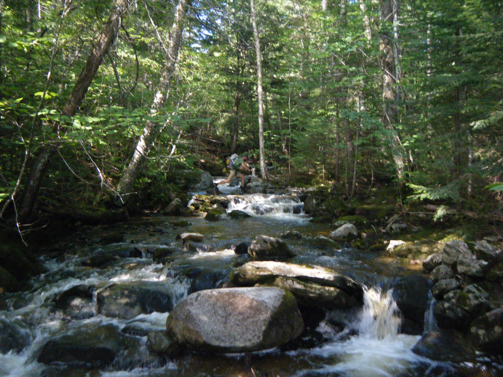
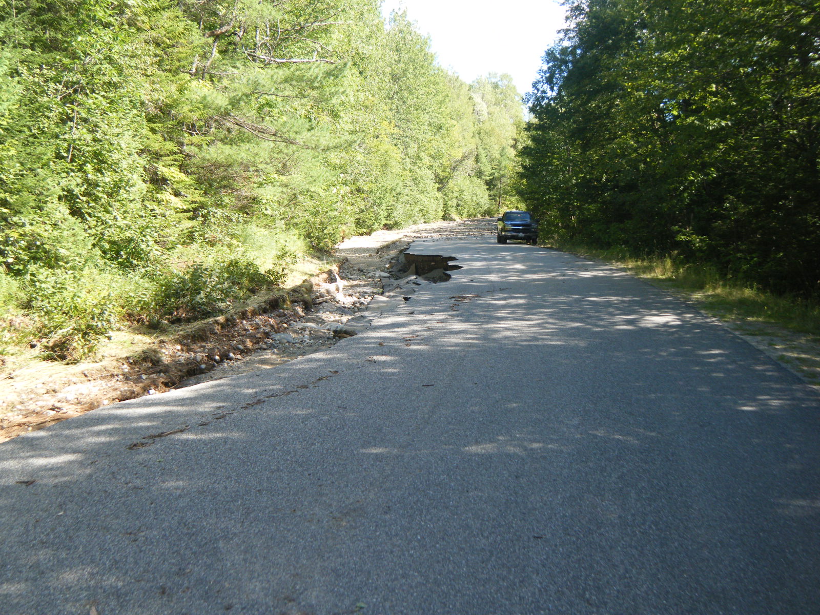
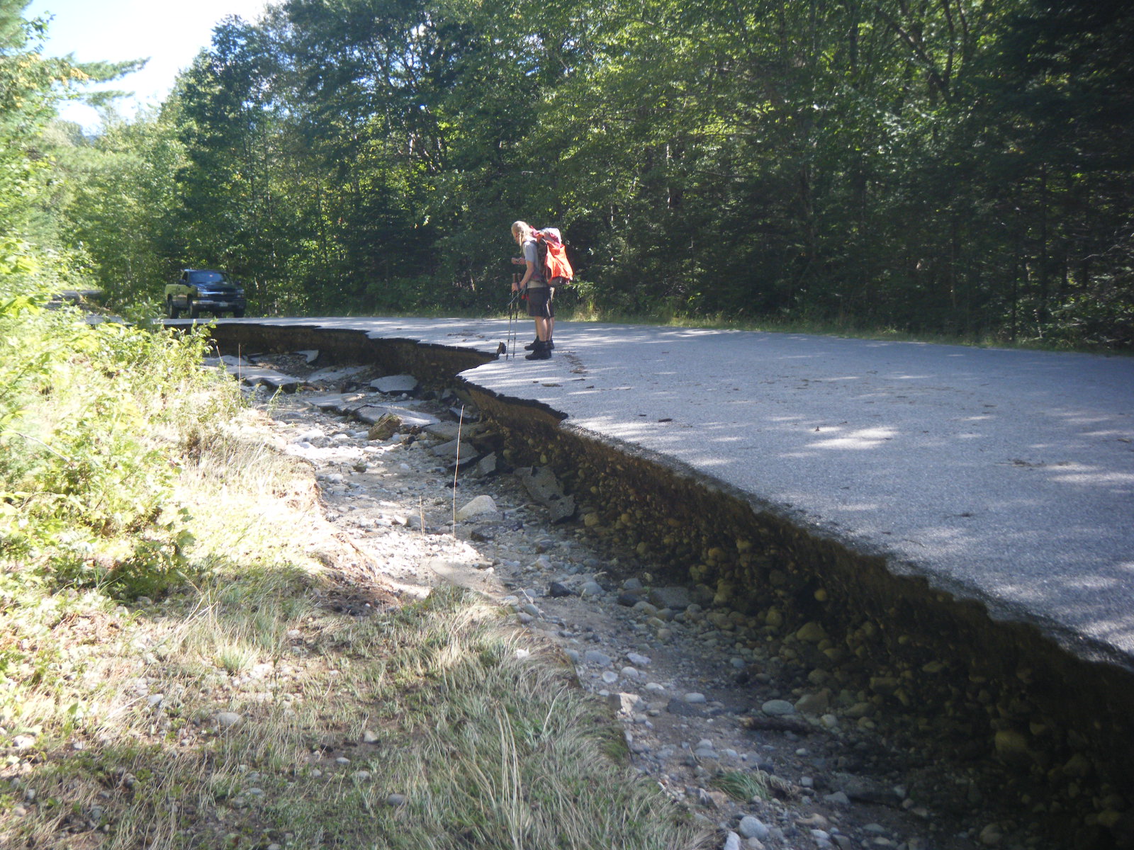
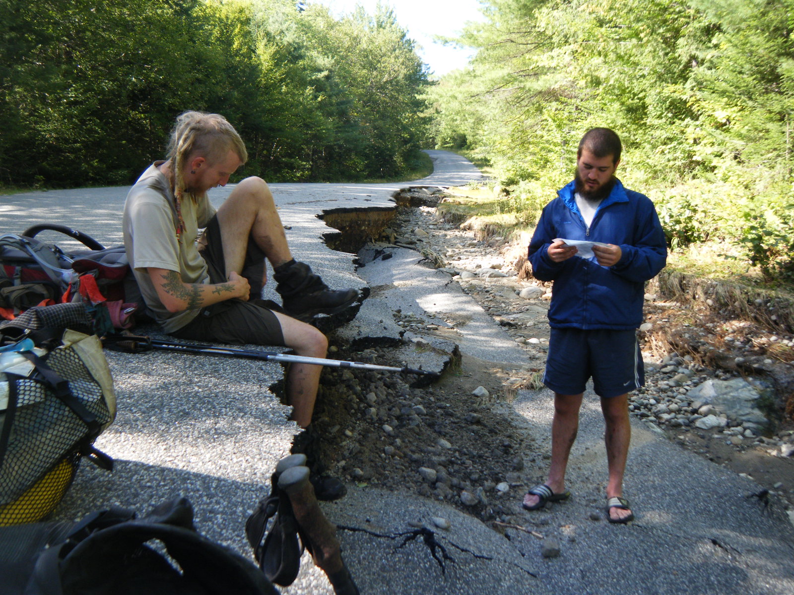
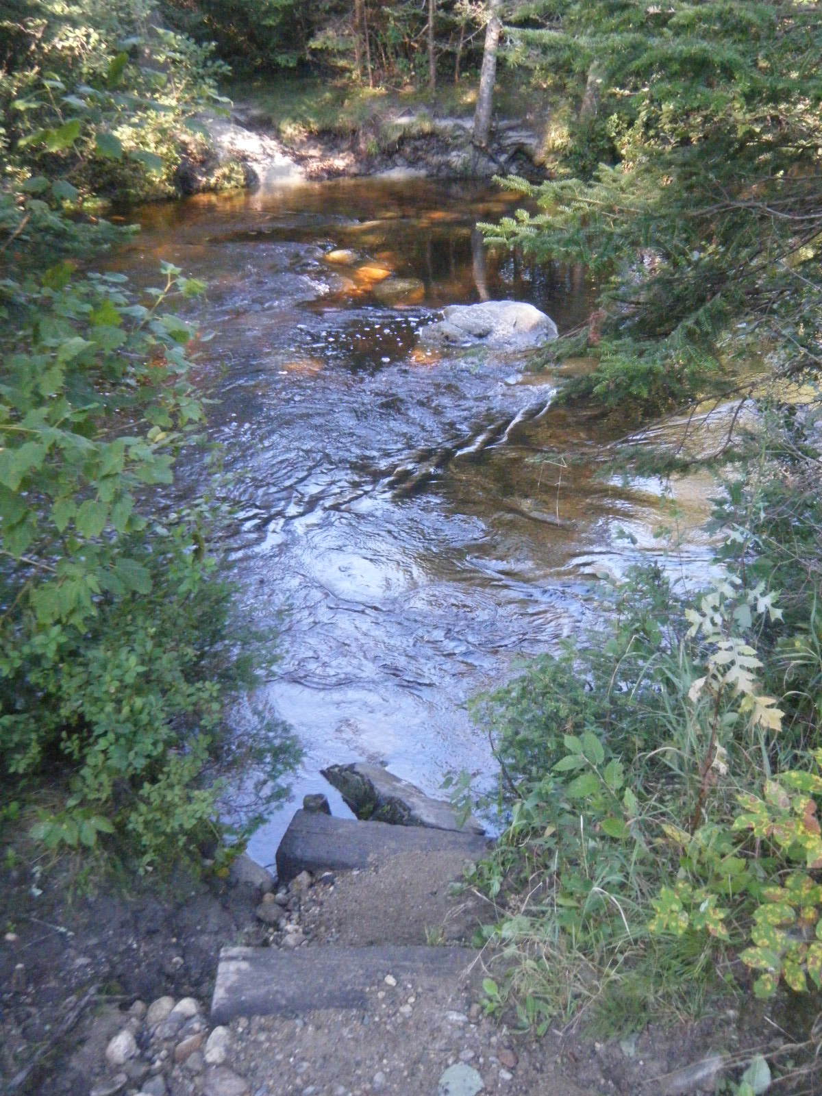
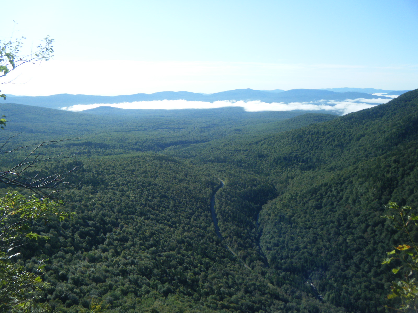
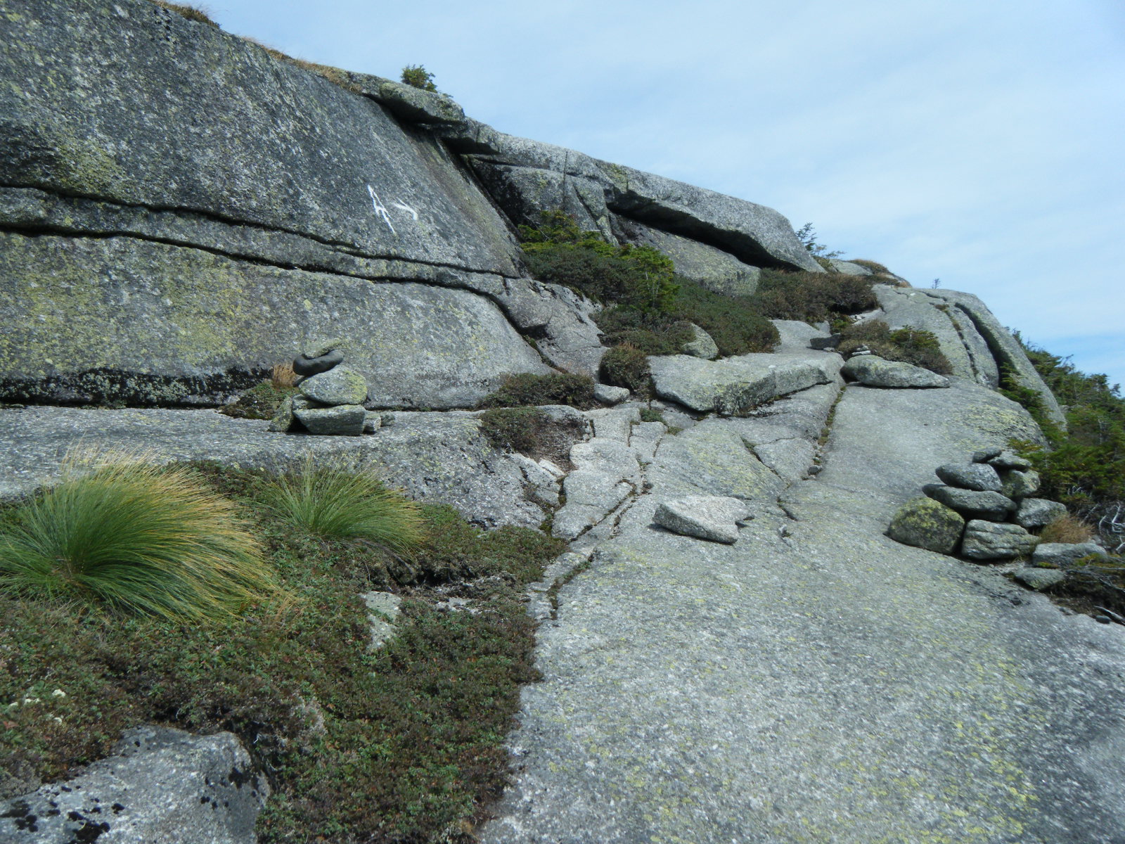
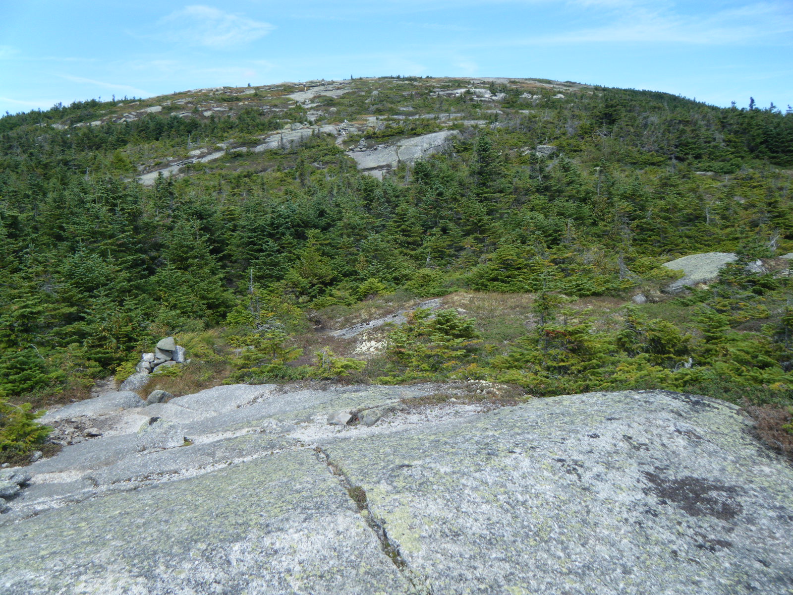
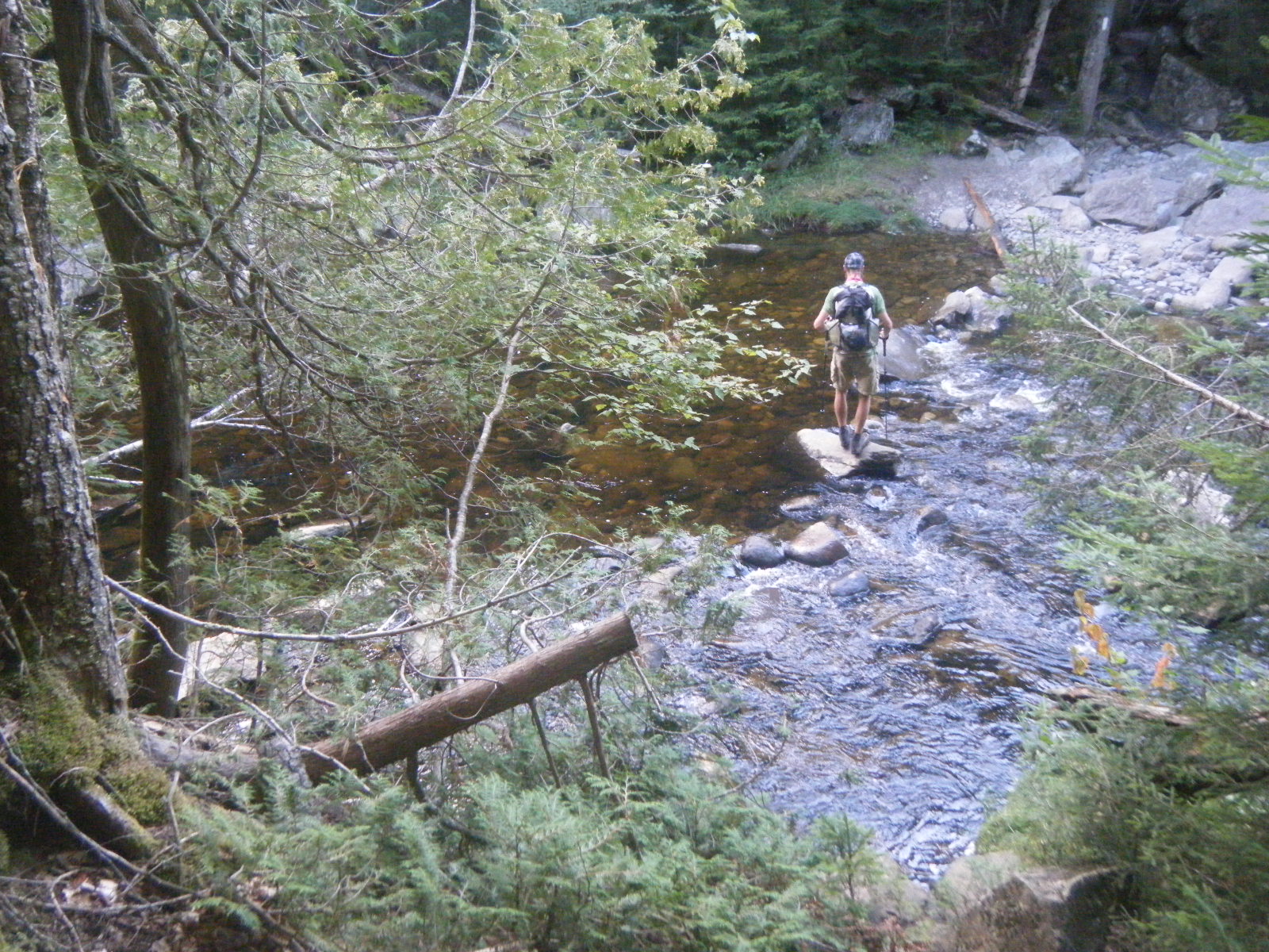
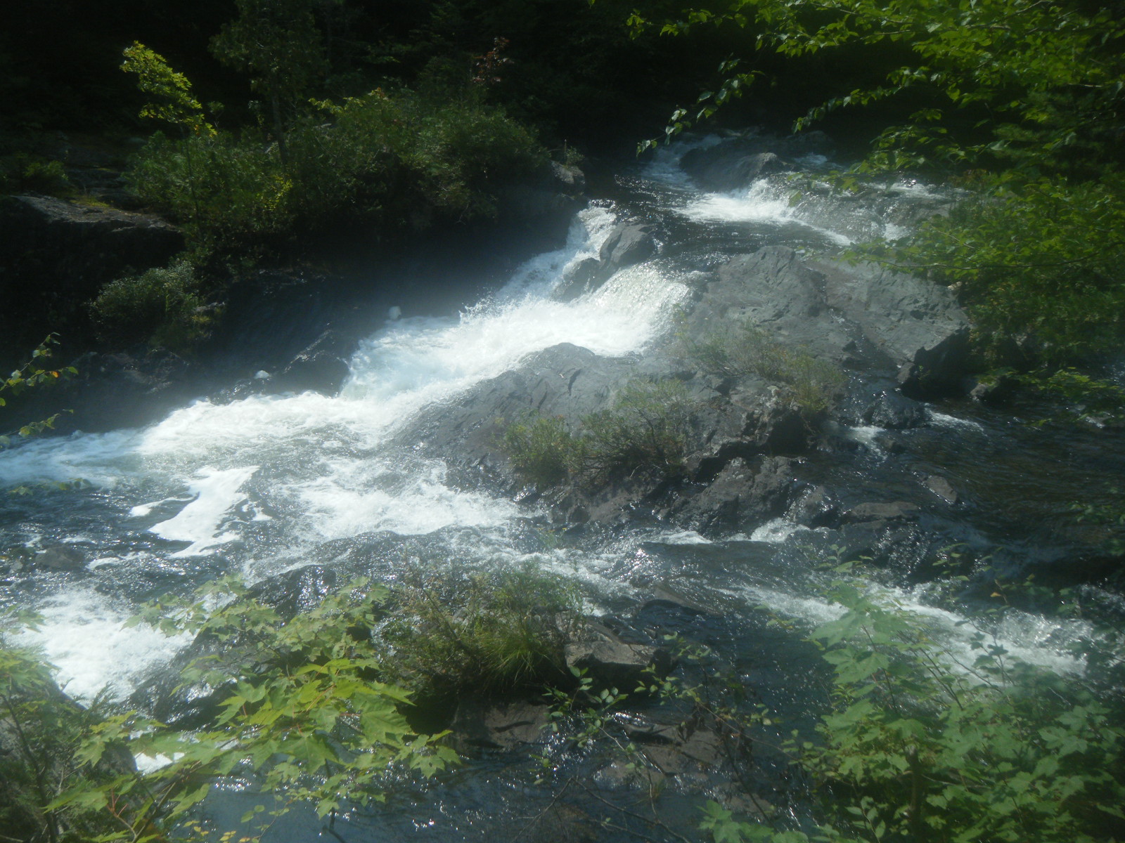
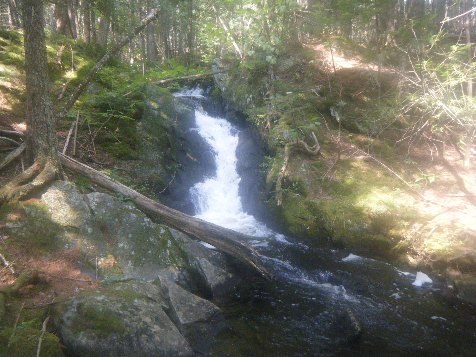
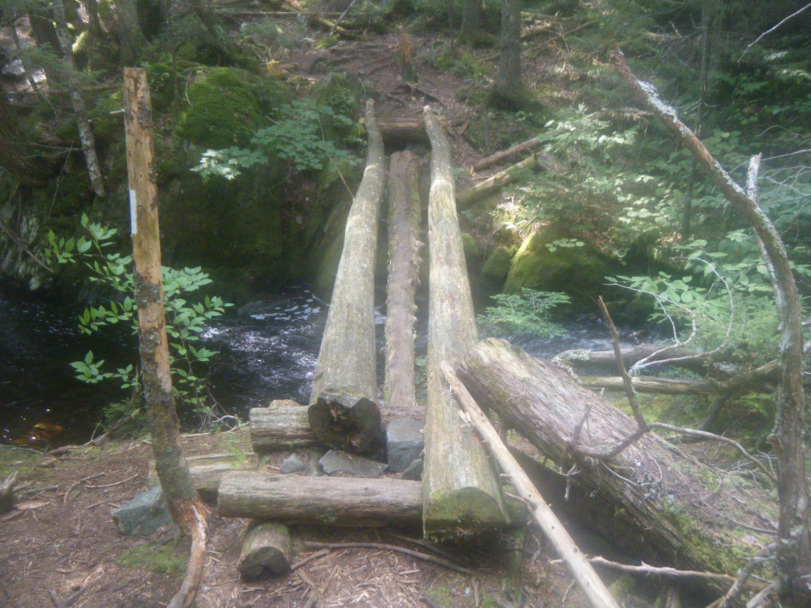
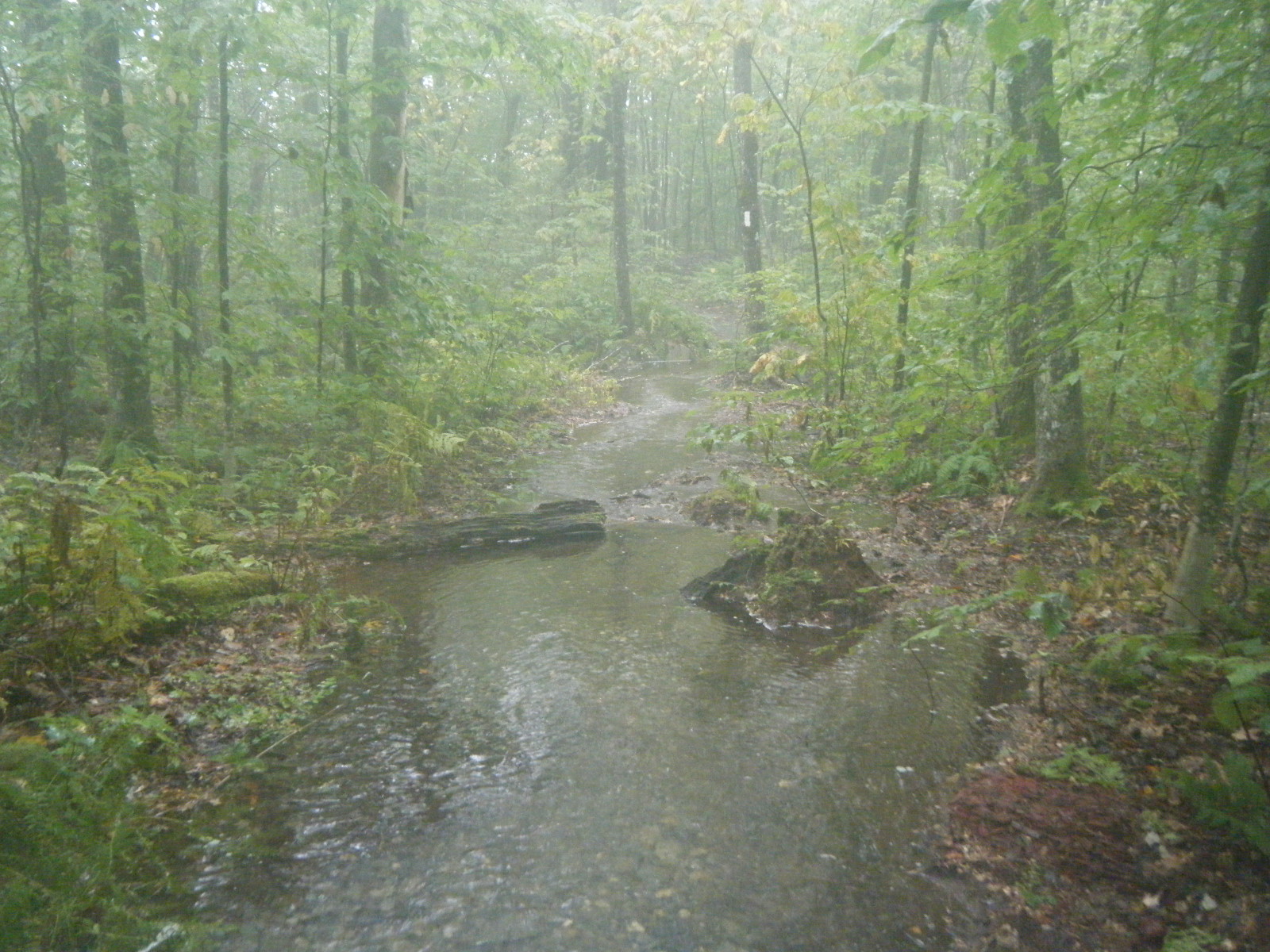
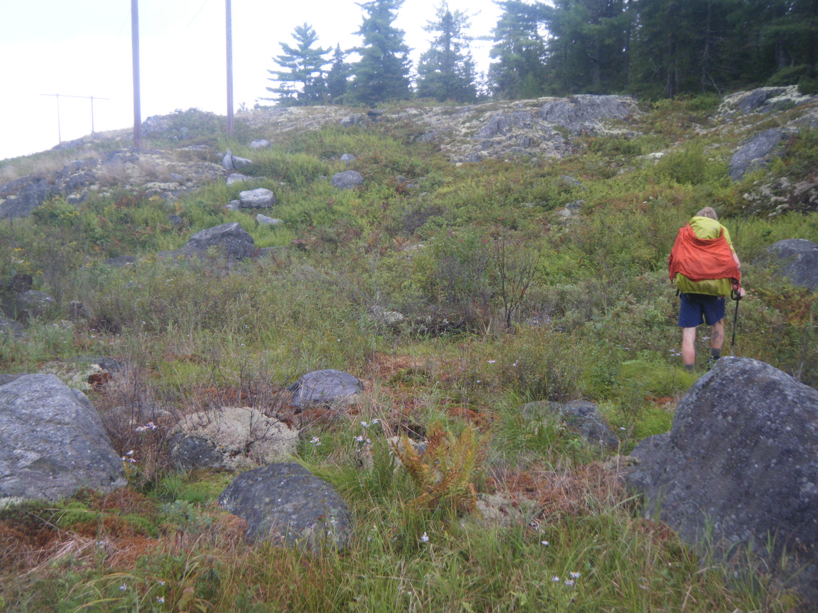
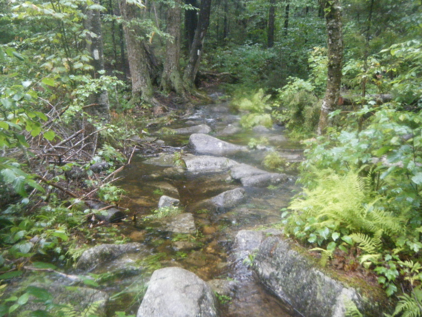
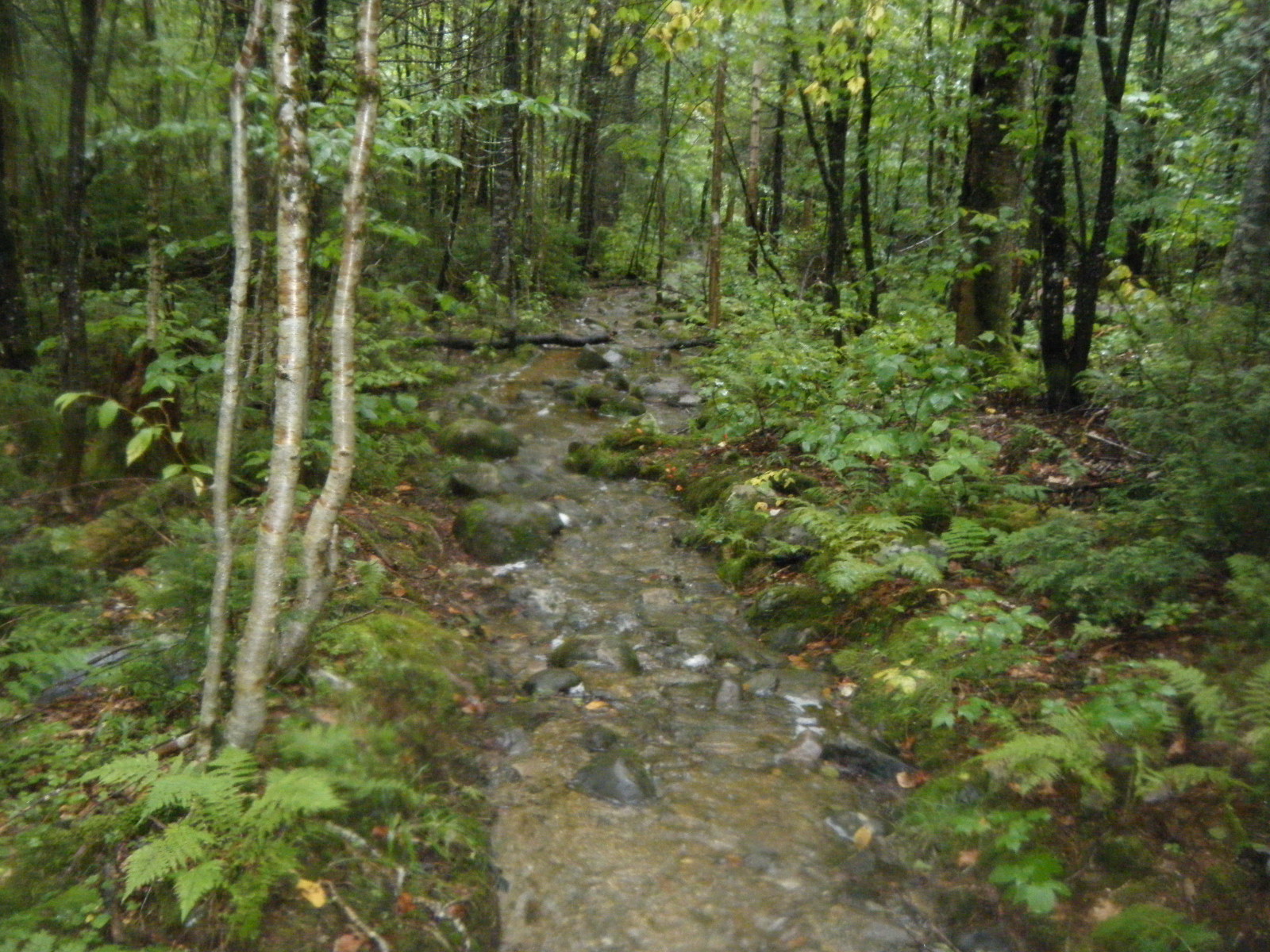
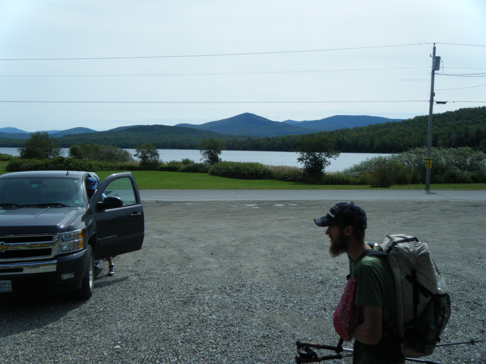
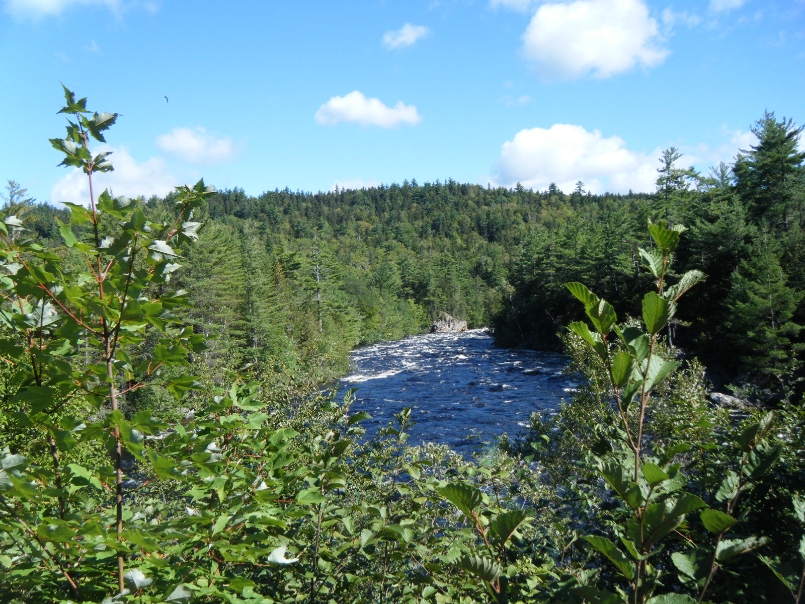
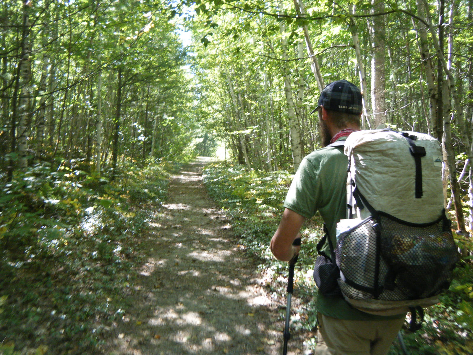
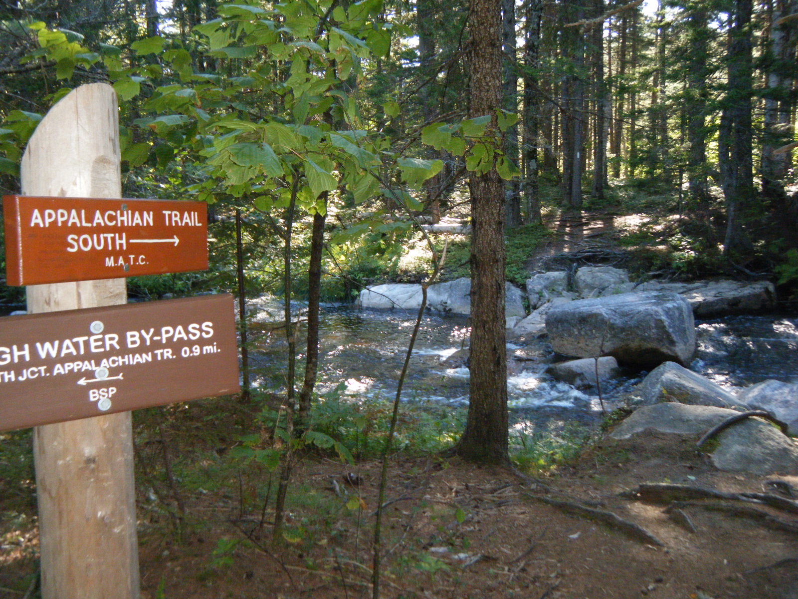
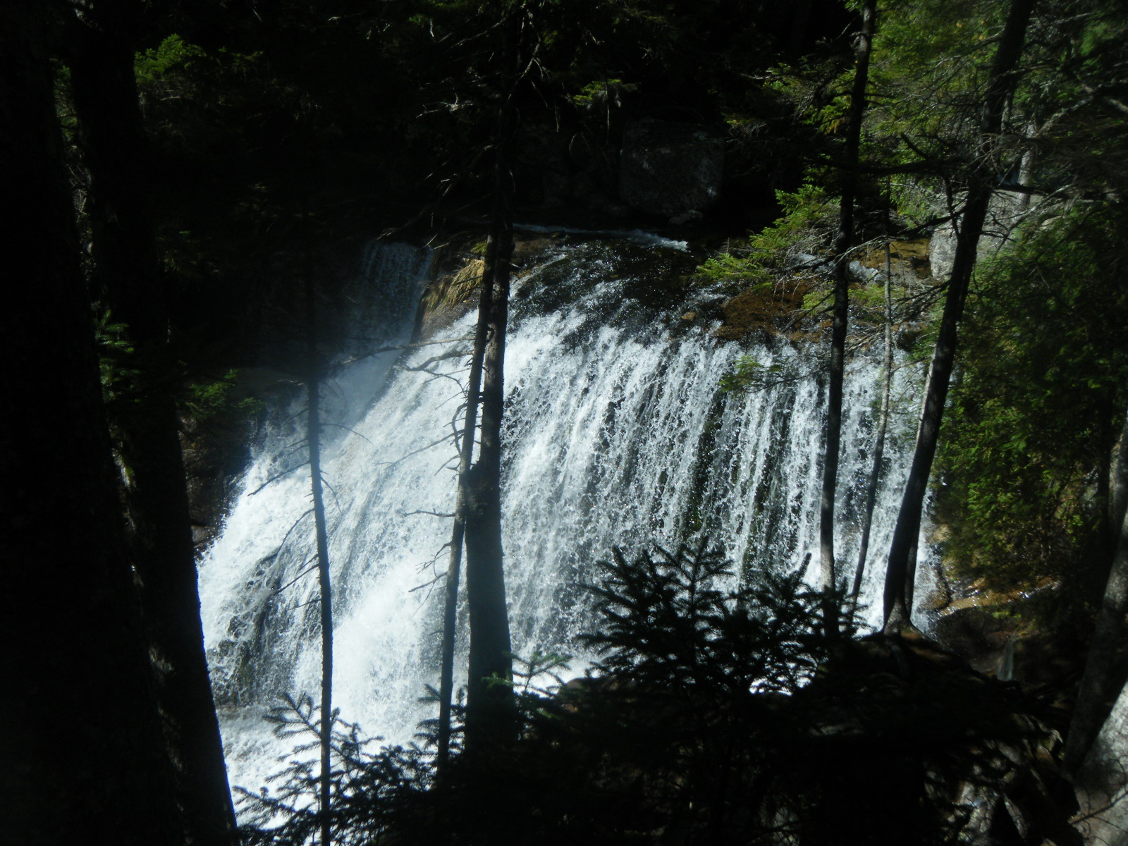
The hurricane had passed by Monday (August 29) morning. Larb still had Giardia, and Jackrabbit had a prescription refill in his bounce-box in Andover, so Larb hitched to Andover and the rest of us set out to hike 10 miles to Andover before 4:30pm. We got a ride in a pickup and shared the truck bed with a gravel rake, broken glass, and some leftover hurricane water. We were happy to have it. The day started with a climb up Baldpate, which consisted of more slanted rock slabs. It was cold, slippery, and windy on top but the views were quite nice. After Baldpate the terrain improved, and we were actually walking on dirt for awhile, in Maine. The trail was wetter than we’d ever seen it (a theme that continued throughout Maine) on account of Irene. A couple stream crossings were tricky on account of the high water, and one was just upstream of a very tall and menacing waterfall. We managed to rock-hop past the water and reached East B Hill Road in plenty of time to catch the Andover post office, assuming we could get a hitch in a reasonable amount of time. Unfortunately, a large part of East B Hill Road was missing and the rest was strewn with rubble, on account of Irene. The road was closed and we had no cell service, so we were unable to meet Larb or call to inform him of such. Amazingly, as we were debating how to proceed, a truck arrived to drop off Terminator, Bo Knows, and Leap. The driver was the owner of the hostel The Cabin, and was heading straight back to Andover so we rode back with him. Once in Andover, Jackrabbit got his prescription and then he and Larb hitched to Bethel to get it filled while Handstand and I waited. Everything in Andover was closed because Irene had knocked out electricity for the whole town, so we just sat in front of the general store reading. Jackrabbit and Larb returned at dusk. We didn’t have much hope of getting a hitch back to the closed road, and we didn’t know where the other road out of Andover was, so Jackrabbit asked some guys across the street for directions. When he returned, we learned he’d somehow secured a ride to the trail and also an Italian sub sandwich. Our ride dropped us off at the AT on South Arm Road, just North of a stream crossing that would have been waist deep, had we done it. We ended up skipping 10 miles of trail between East B Hill Road and South Arm Road due to the road closure and to avoid rumored flooded stream crossings. We camped just between the flooded stream and the road that night.
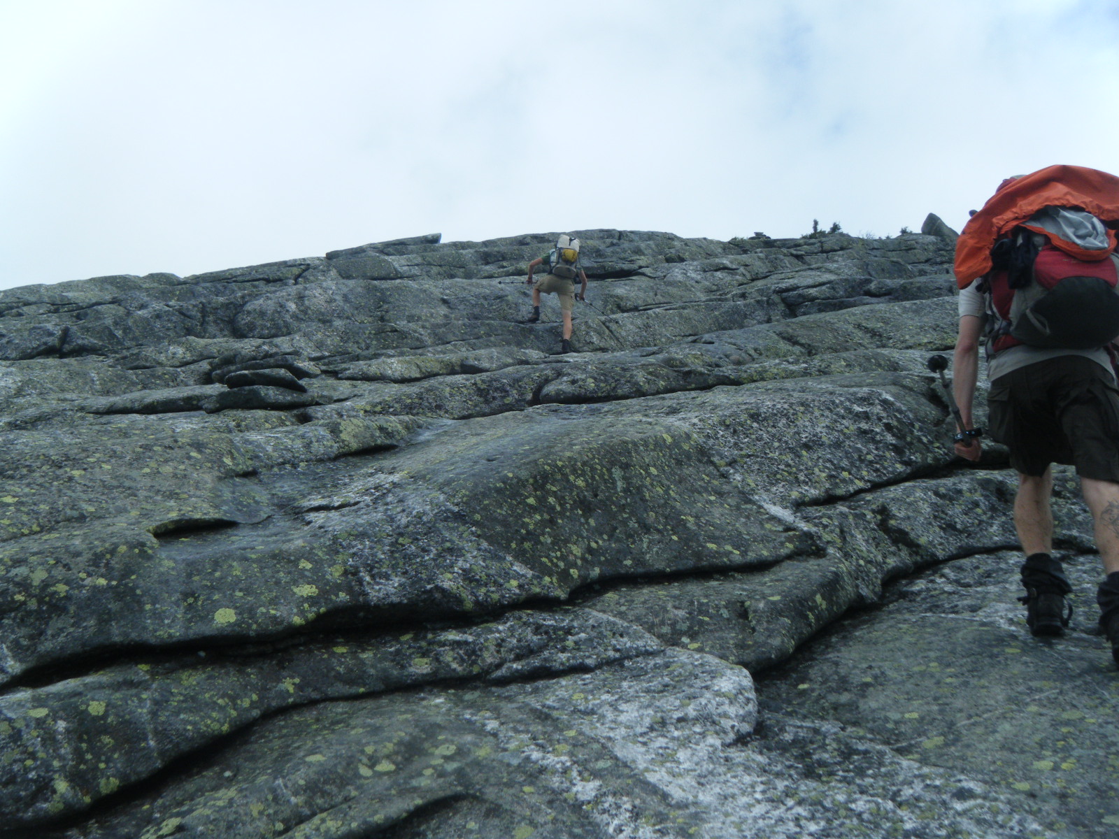
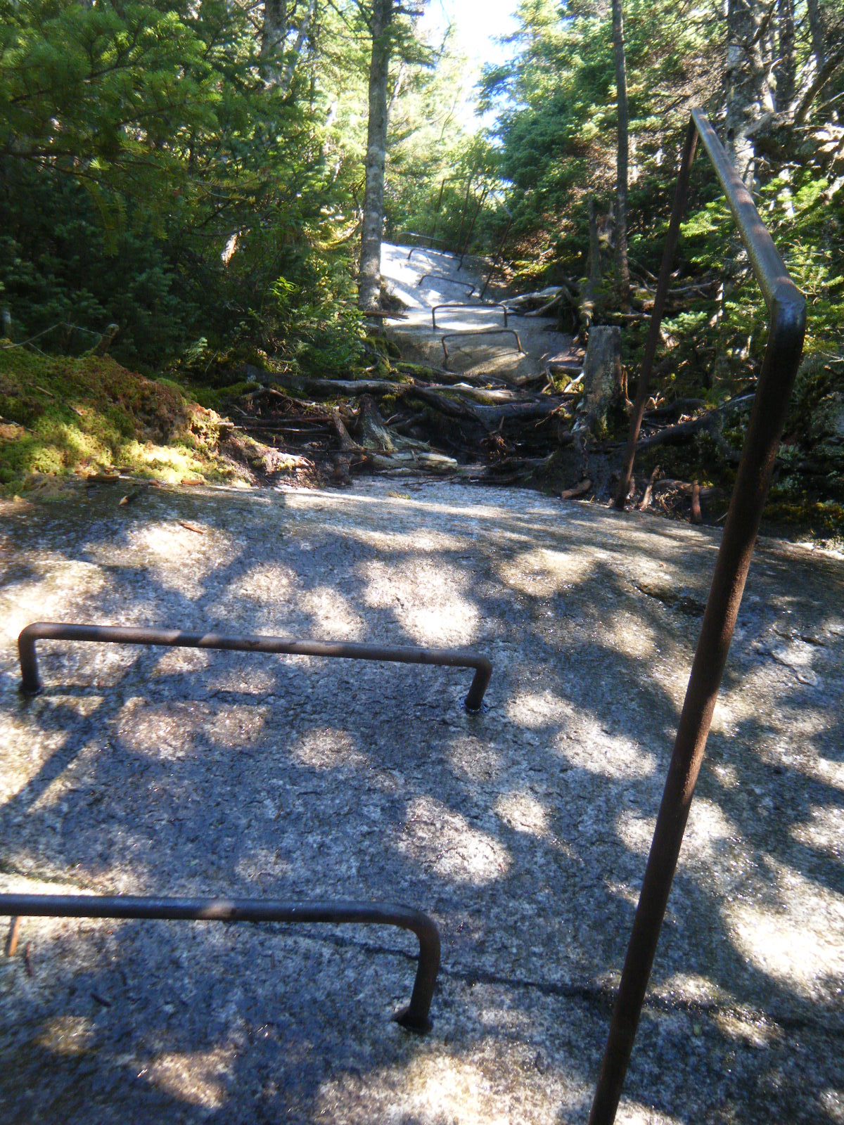
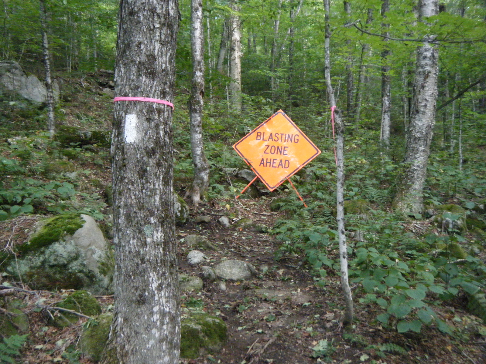
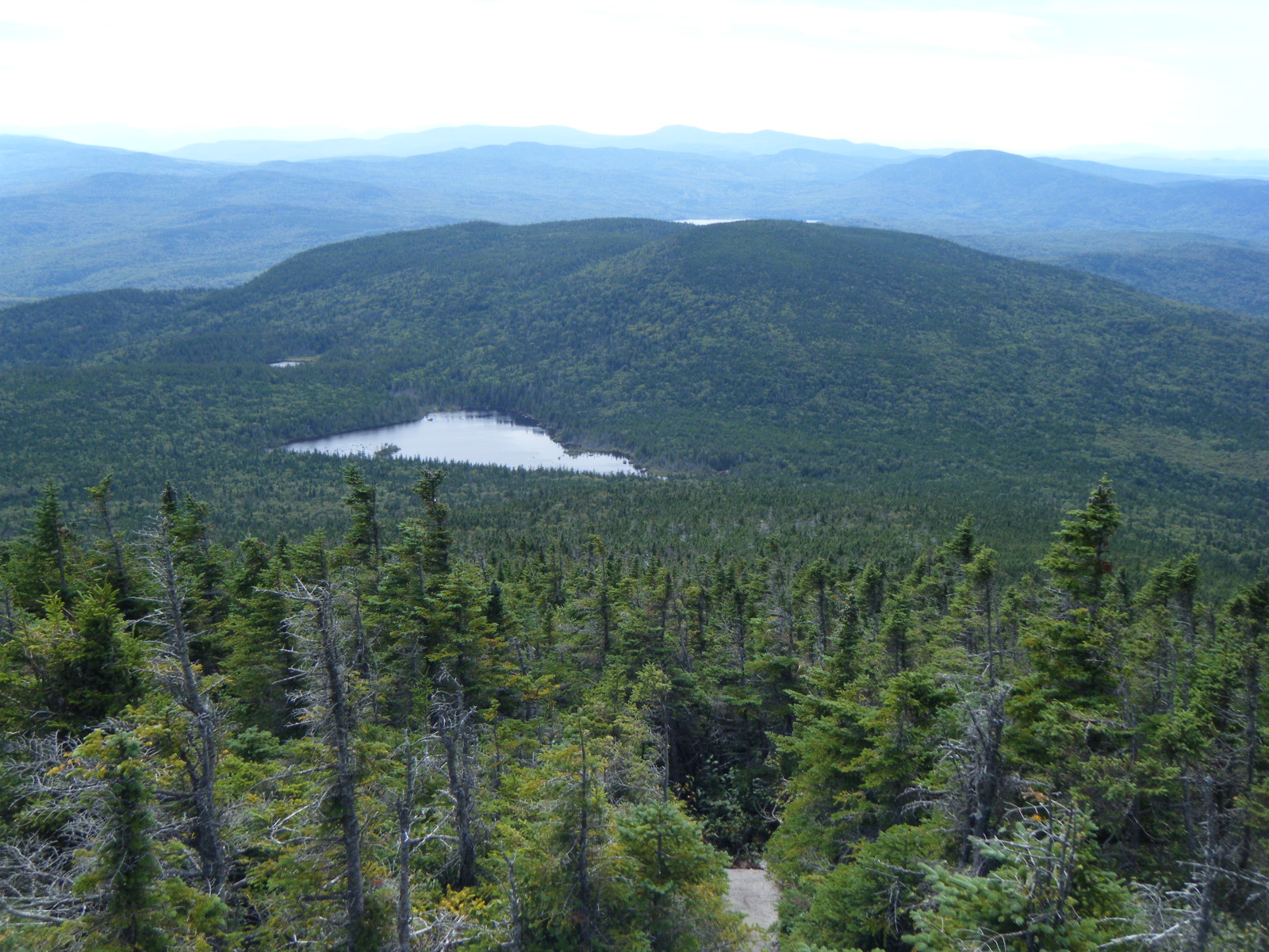
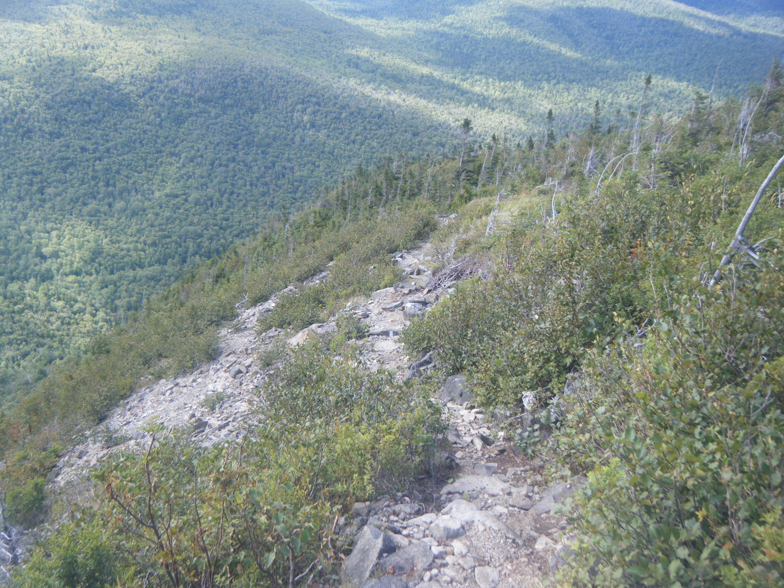
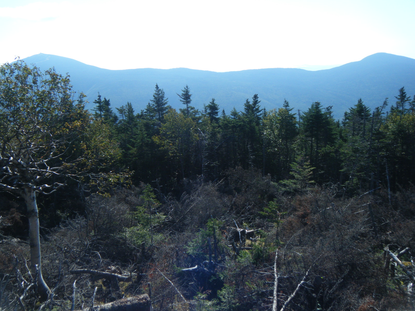
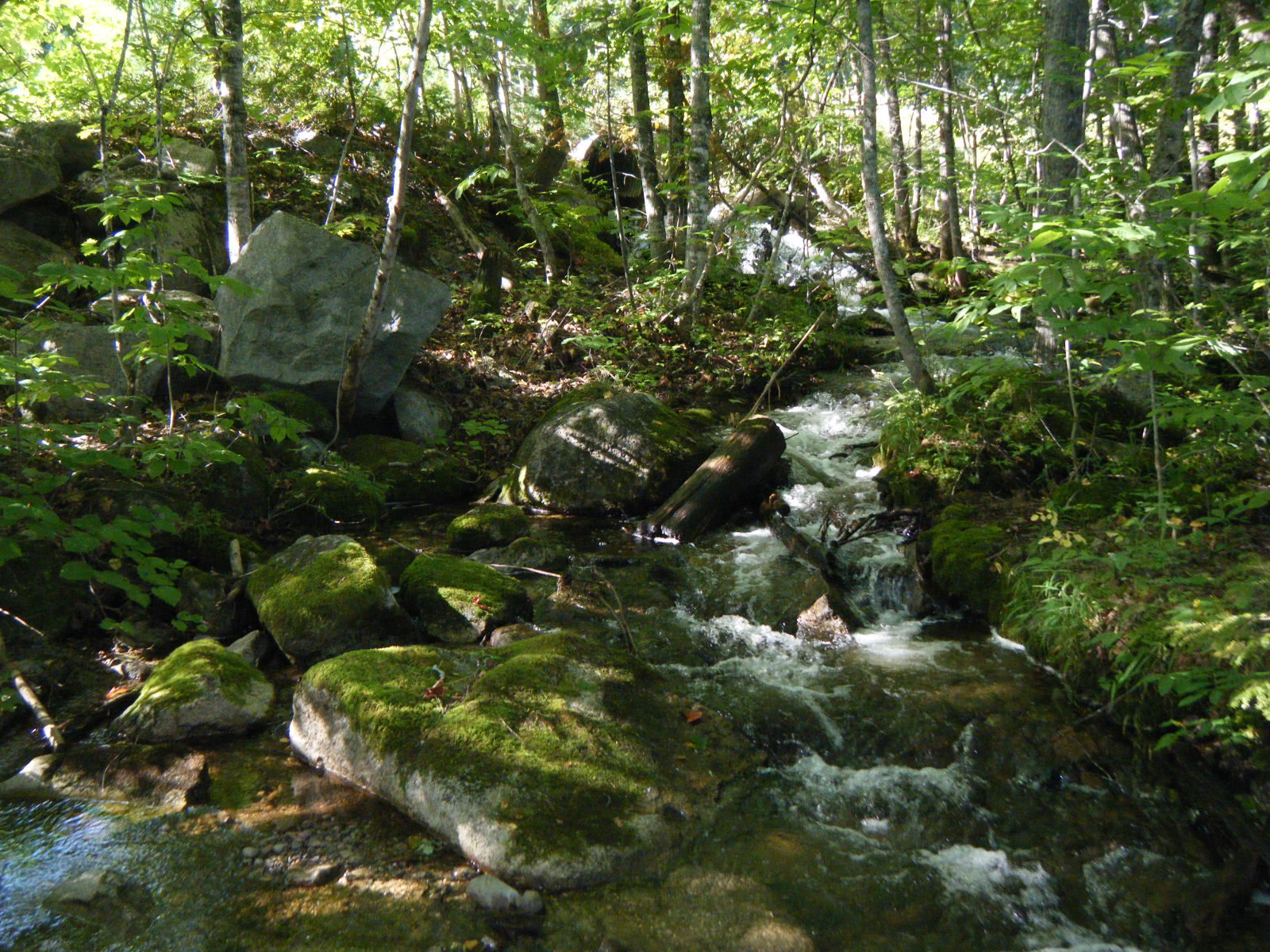
Tuesday August 30 was the end of our mileage slump. We started the day by climbing Blue Mountain, then spent the rest of the day hiking through old-growth spruce forest. We stopped for lunch after 8.8 miles at Bemis Mountain Lean-to. The walls of the privy were lined with dead flies, killed by and home to a parasitic fungus. We left the shelter and descended to Bemis Stream, which we forded – it was knee deep and flowing rather quickly. We’d heard Bemis Stream was quite difficult during and the day after the hurricane, but it wasn’t too bad when we crossed. We ascended through a washed-out section that appeared to be a recent detour, and passed a sign marked “Blasting Zone Ahead” before coming out on a road that was under heavy construction. We continued up the mountain and along a ridge to Sabbath Day Pond Shelter, racking up 17.1 miles in a day. Compared to our 9.6 days in Southern Maine, that’s huge. It felt good to do respectable miles again.
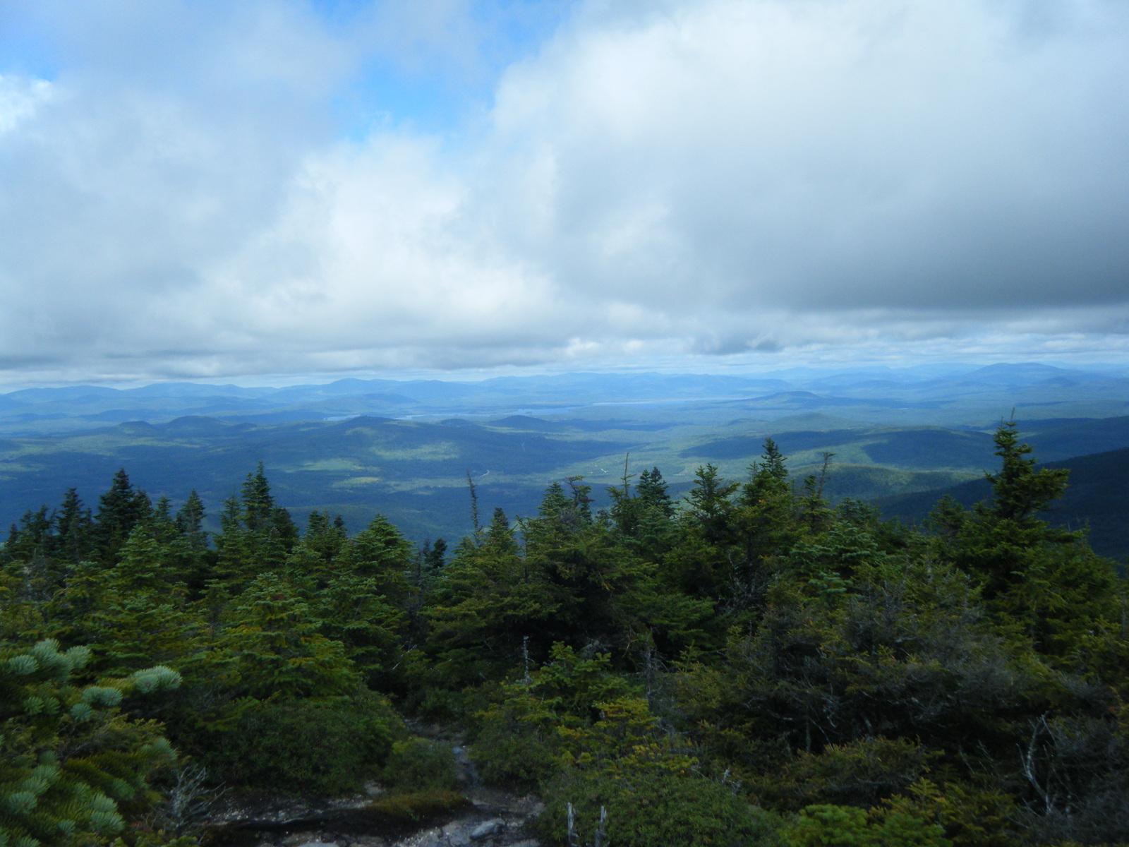
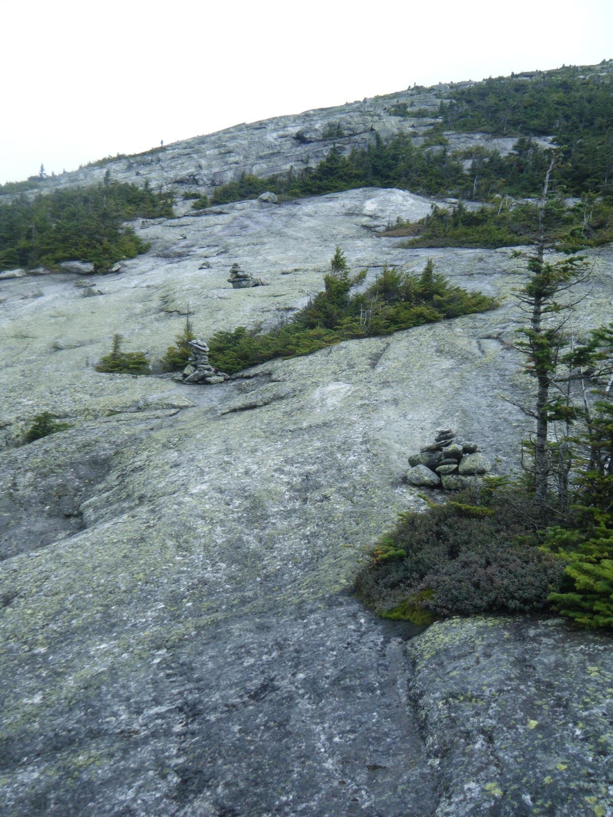
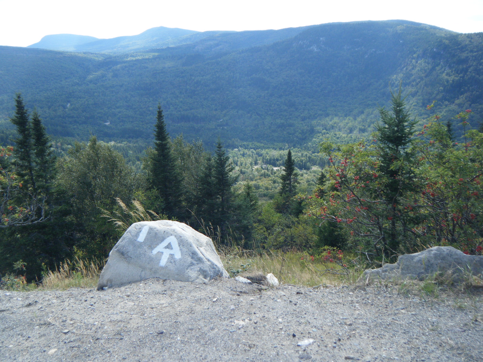
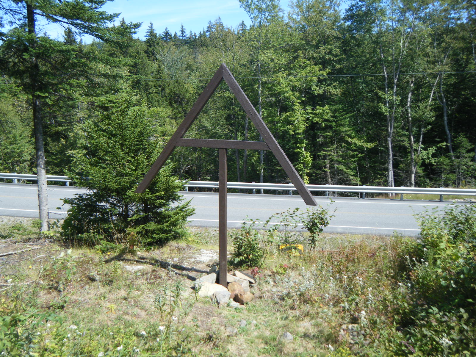
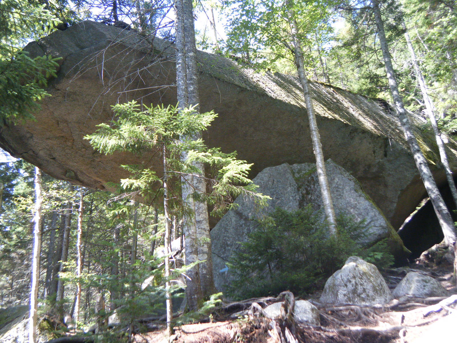
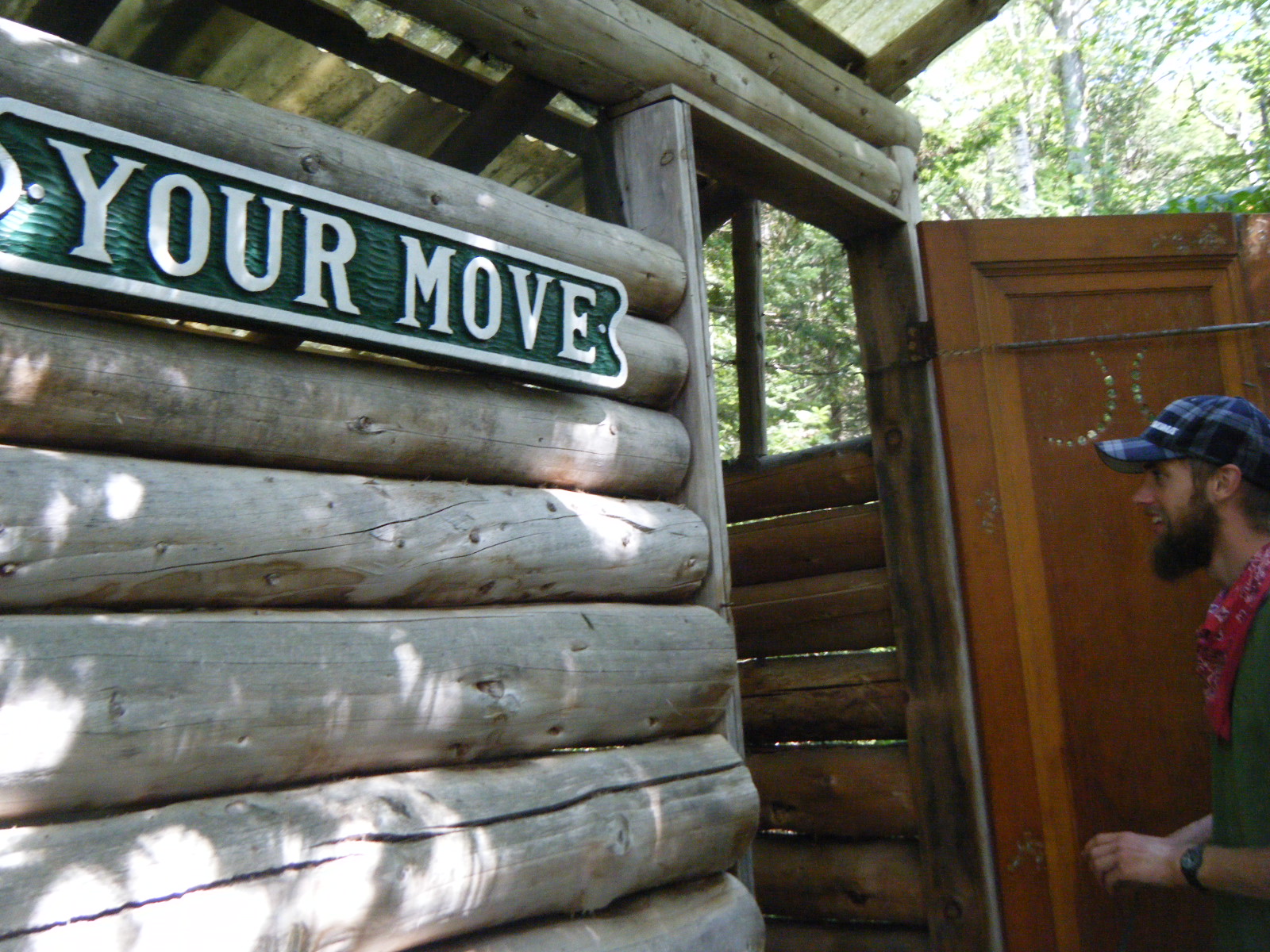
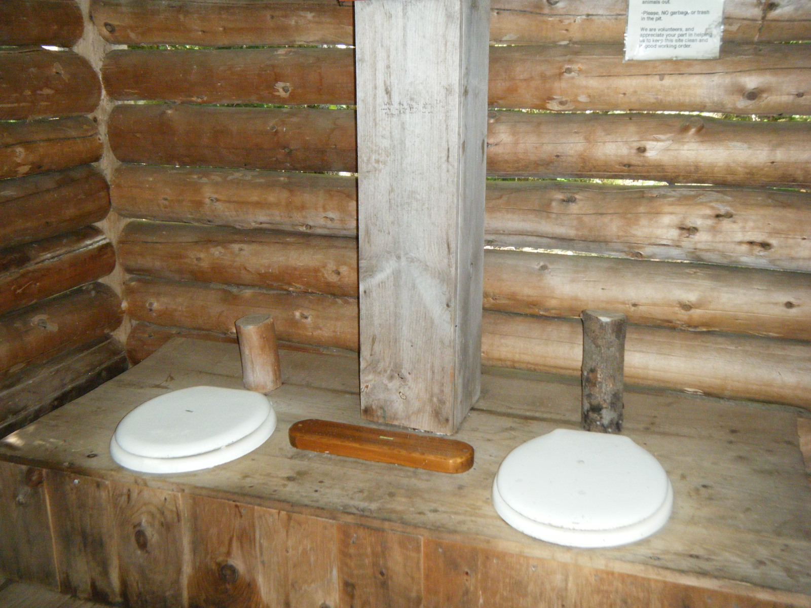
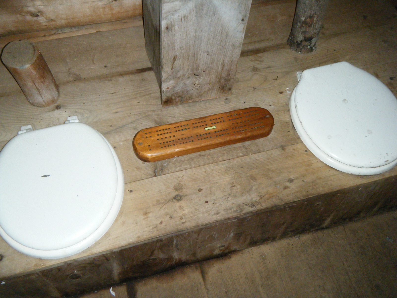
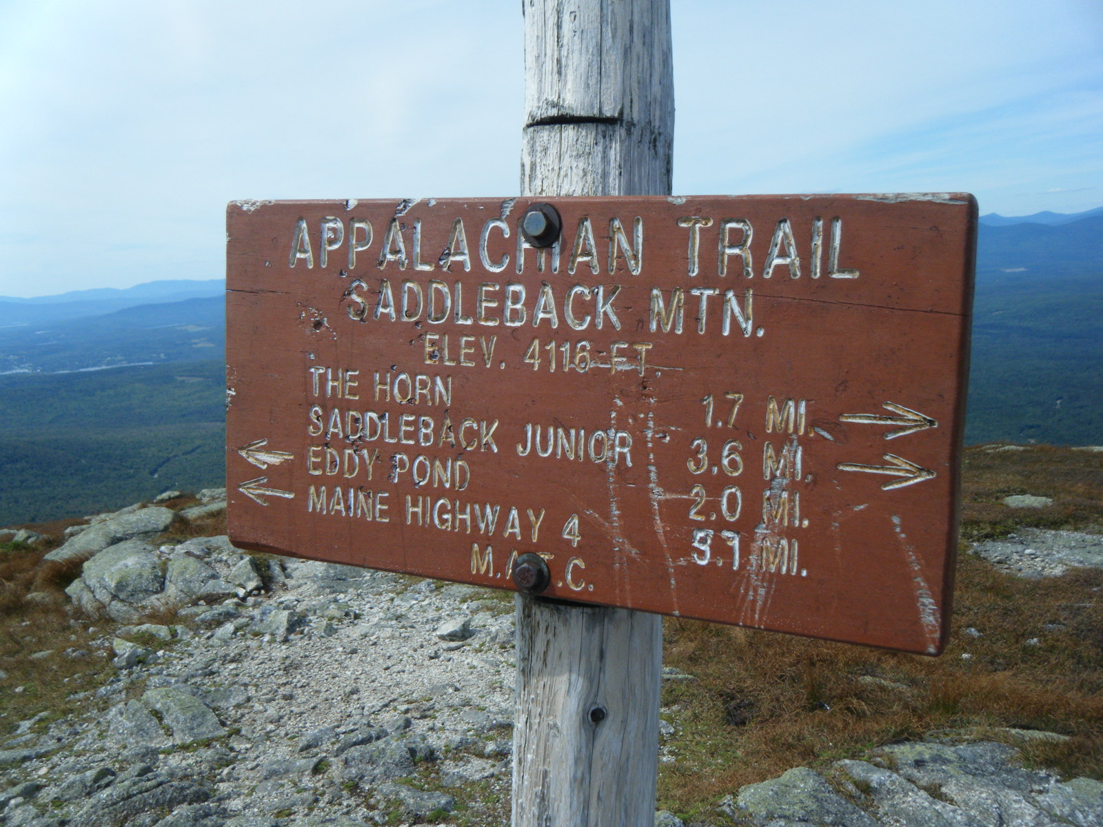
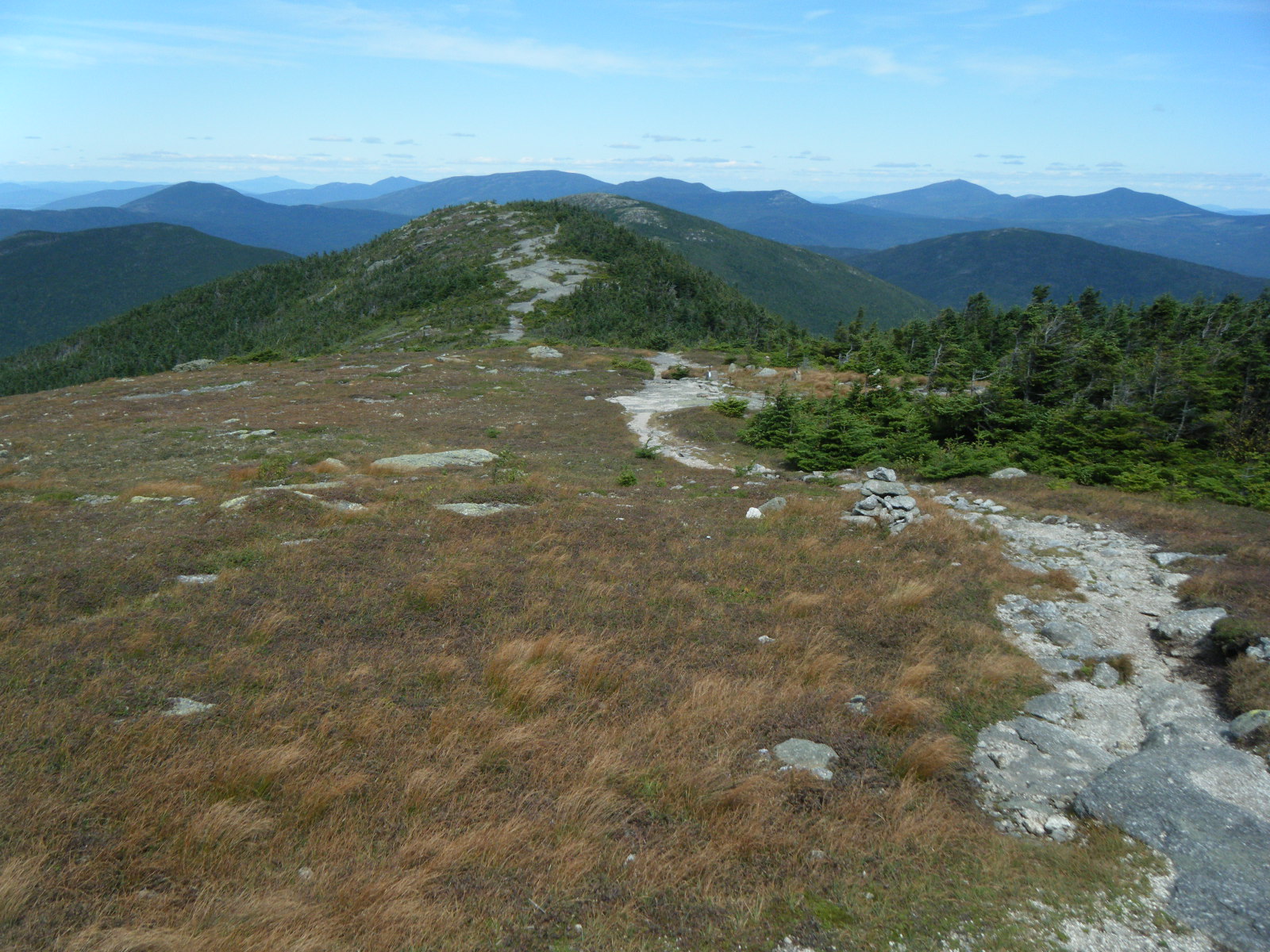
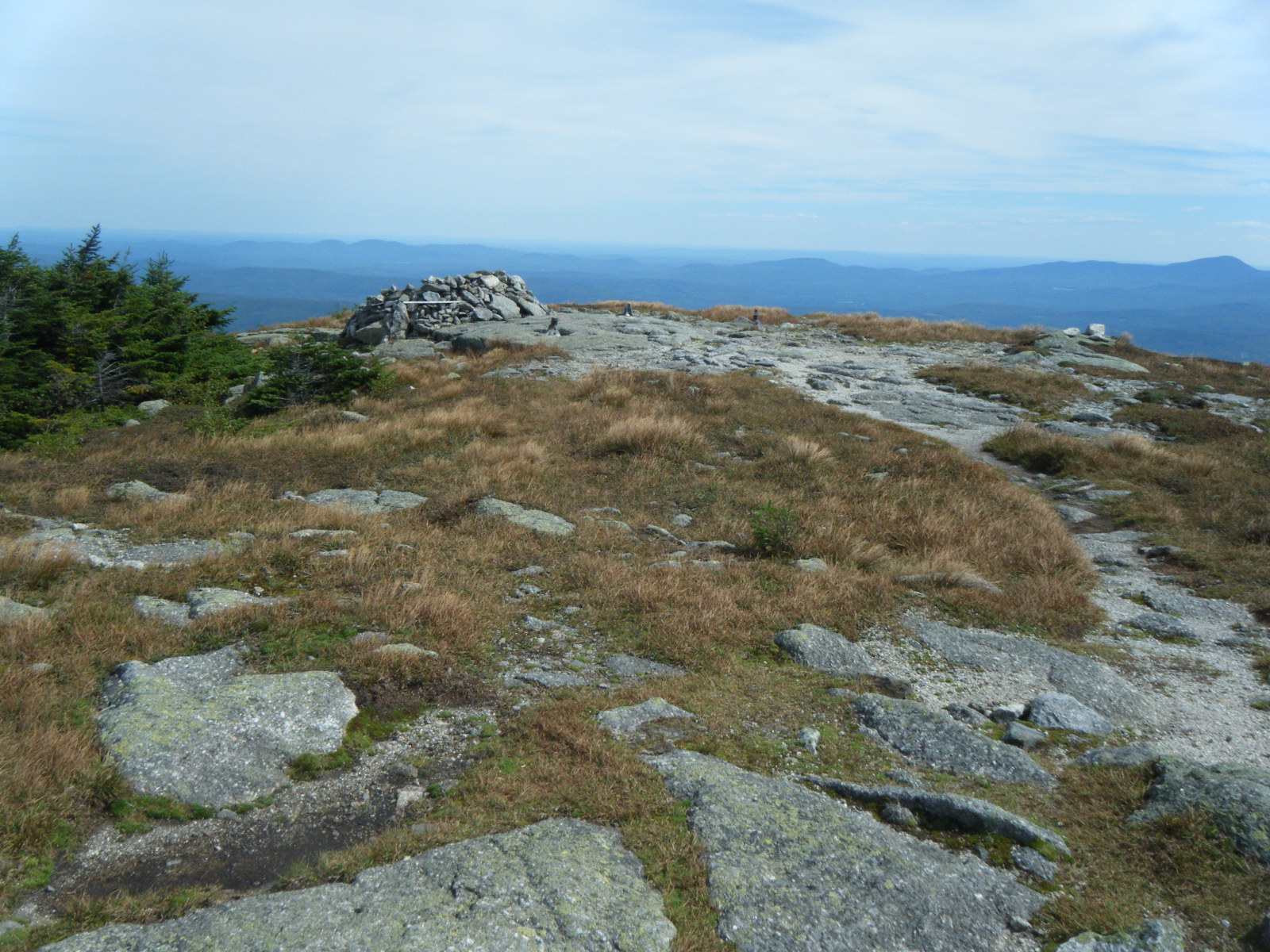
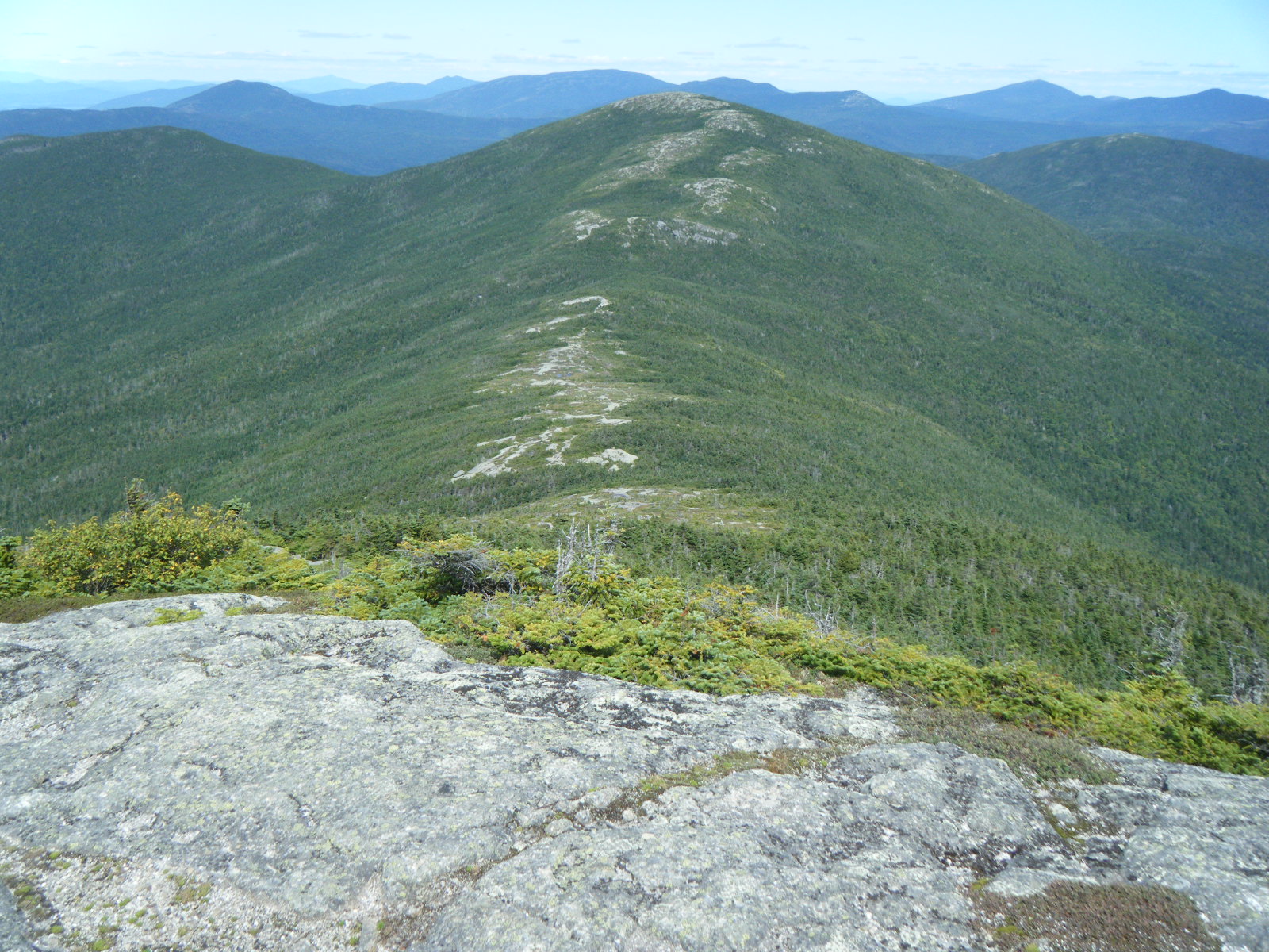
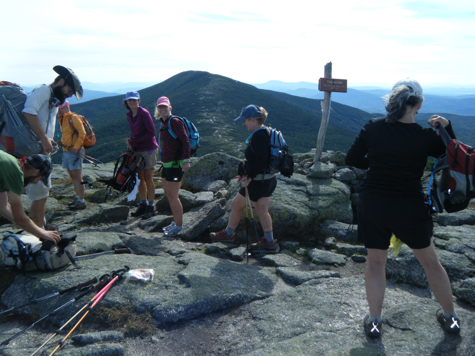
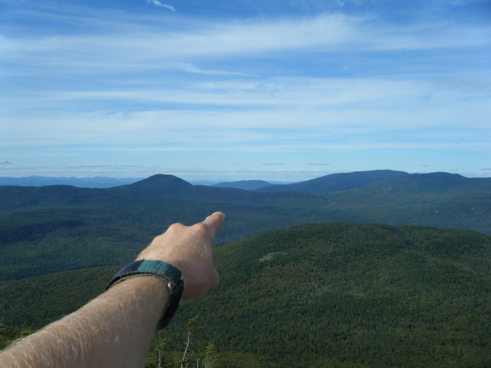
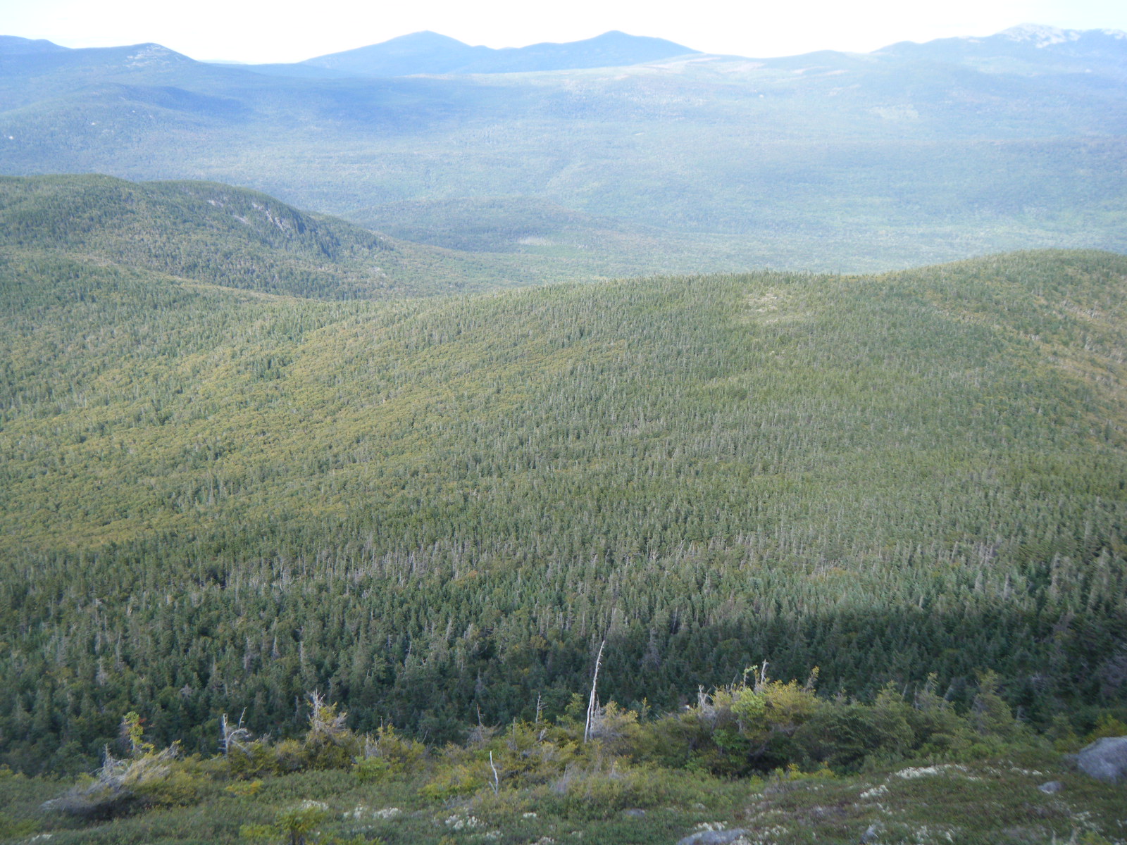
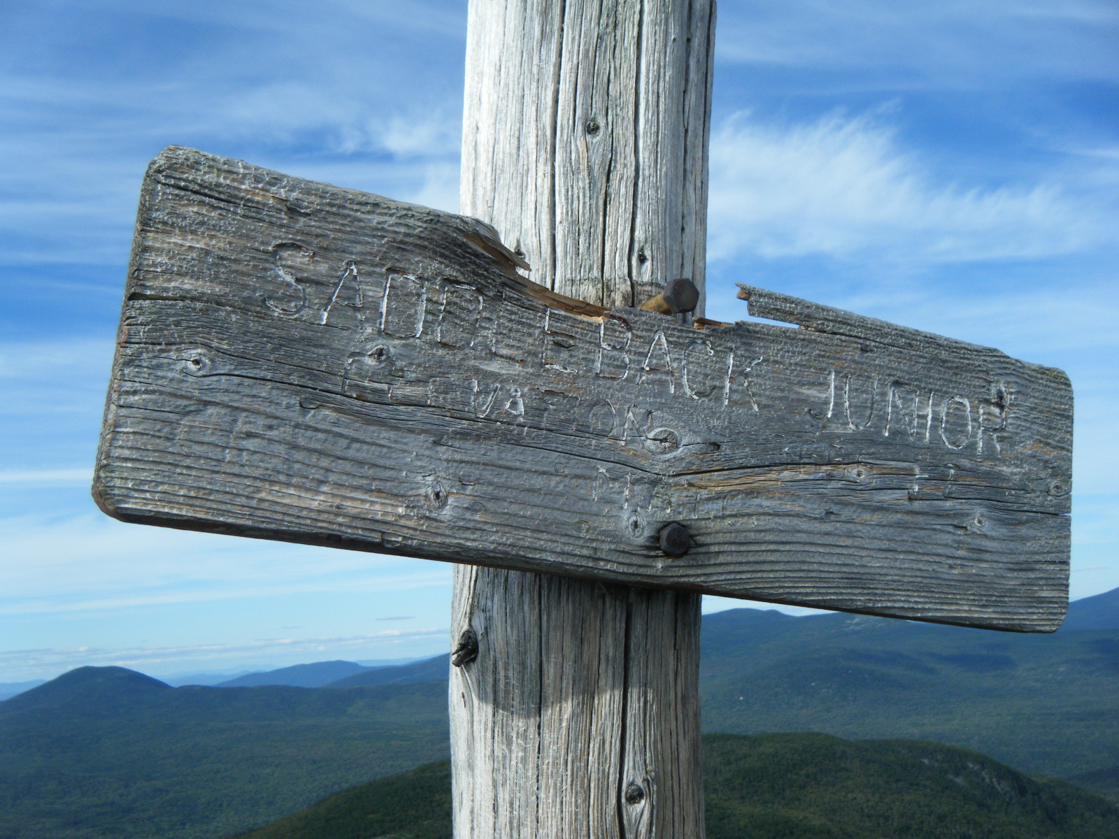
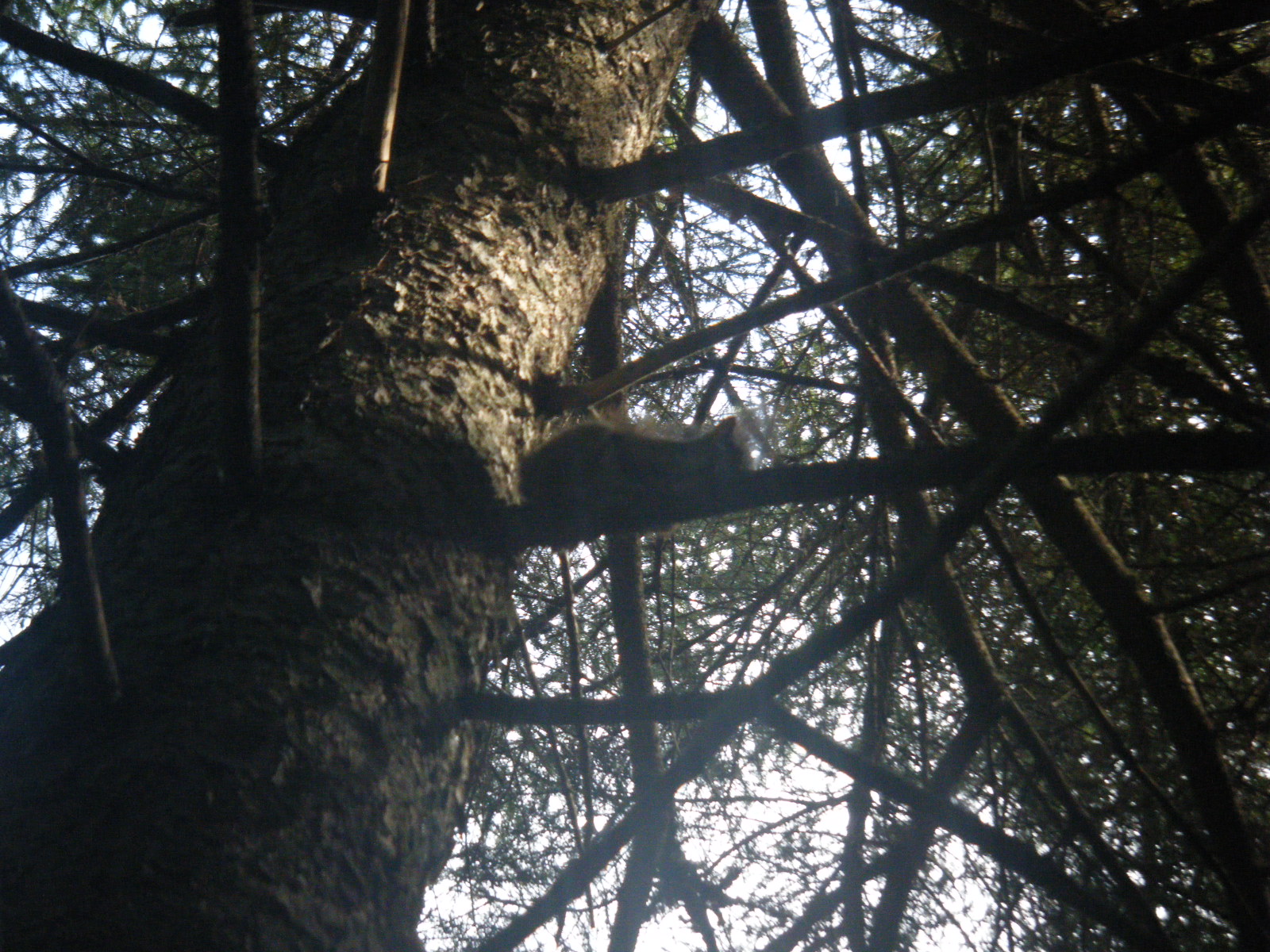
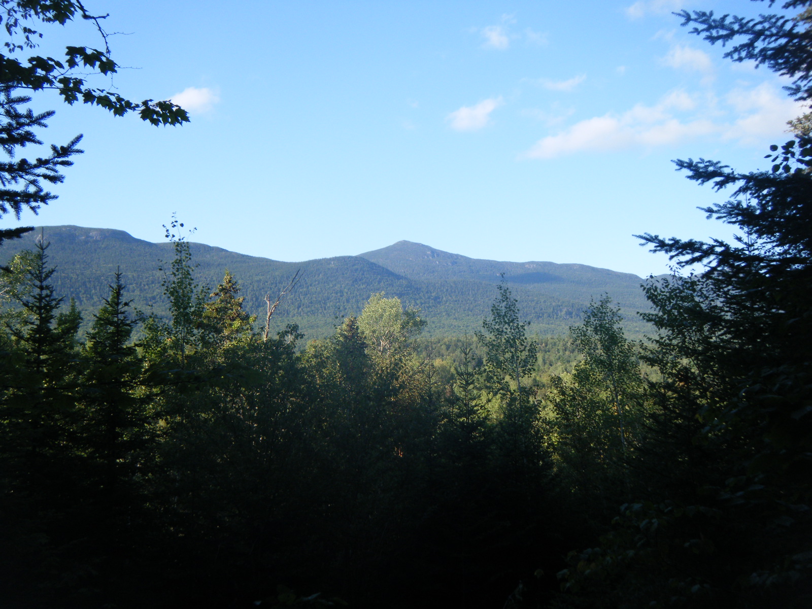
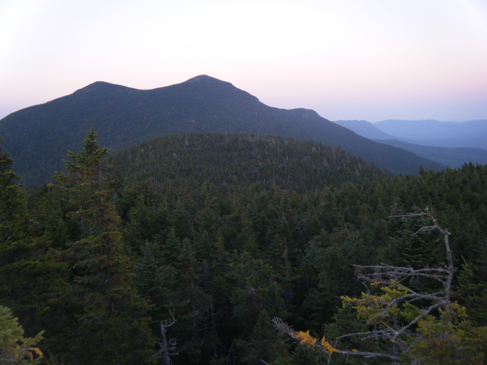
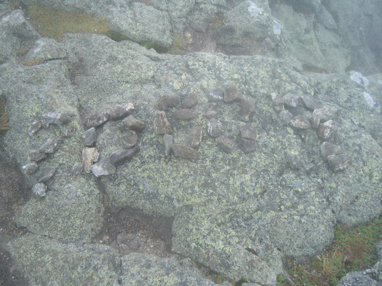
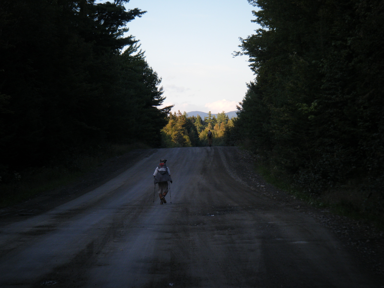
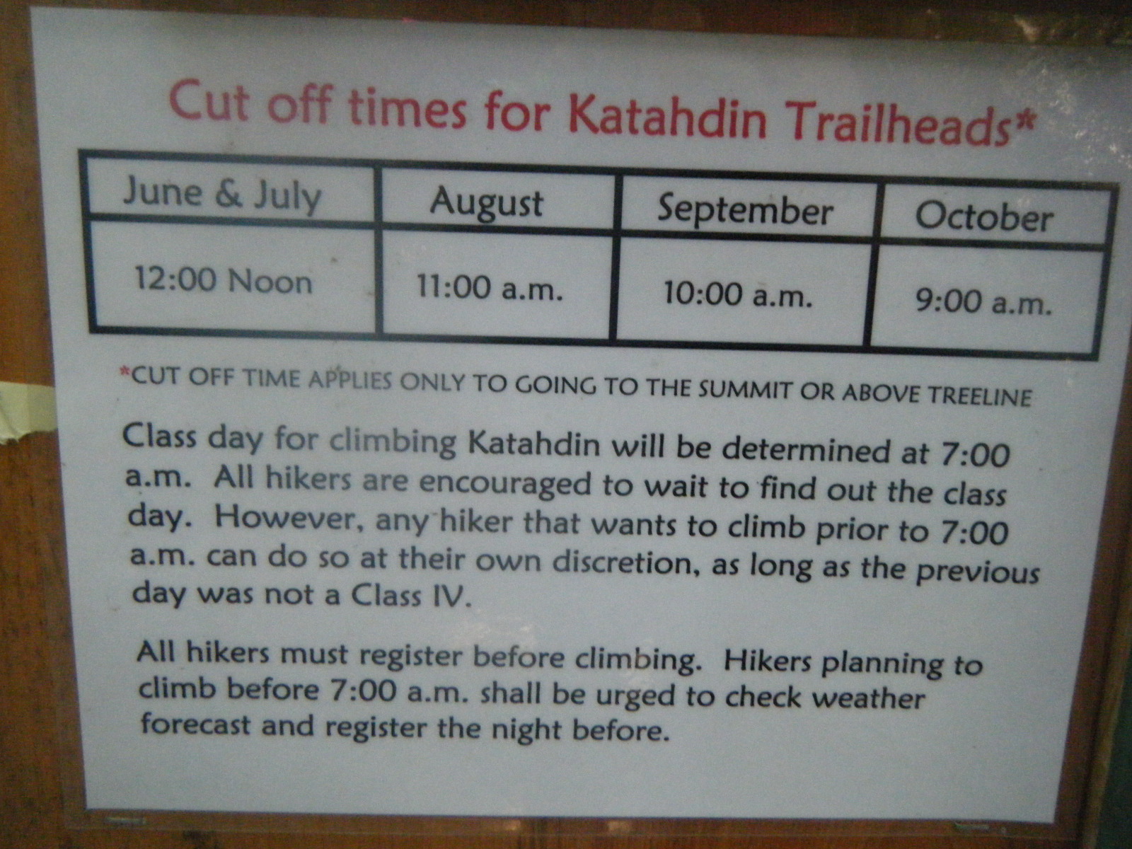
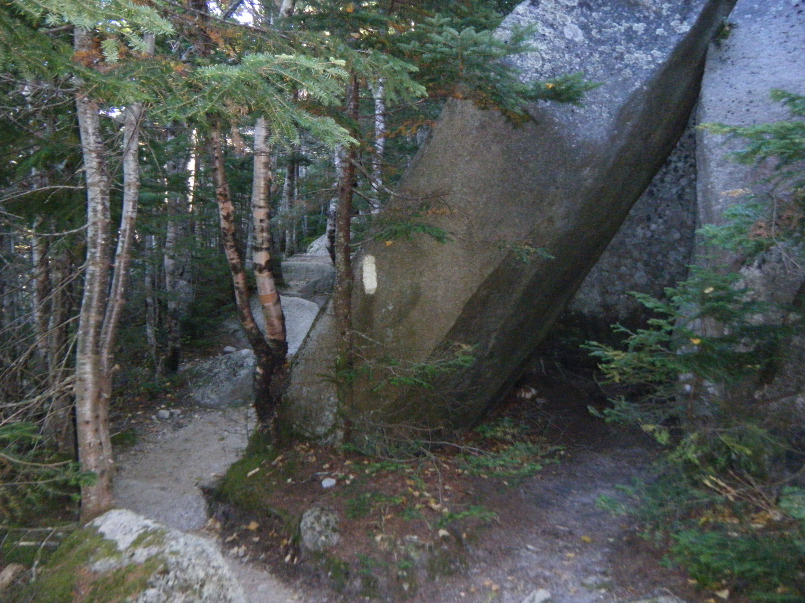
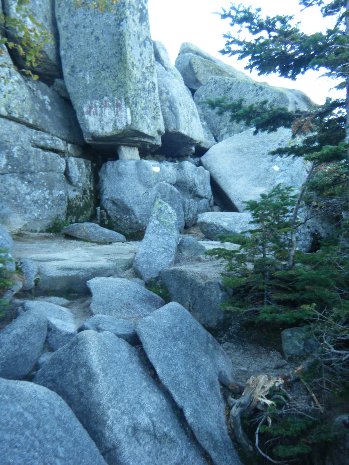
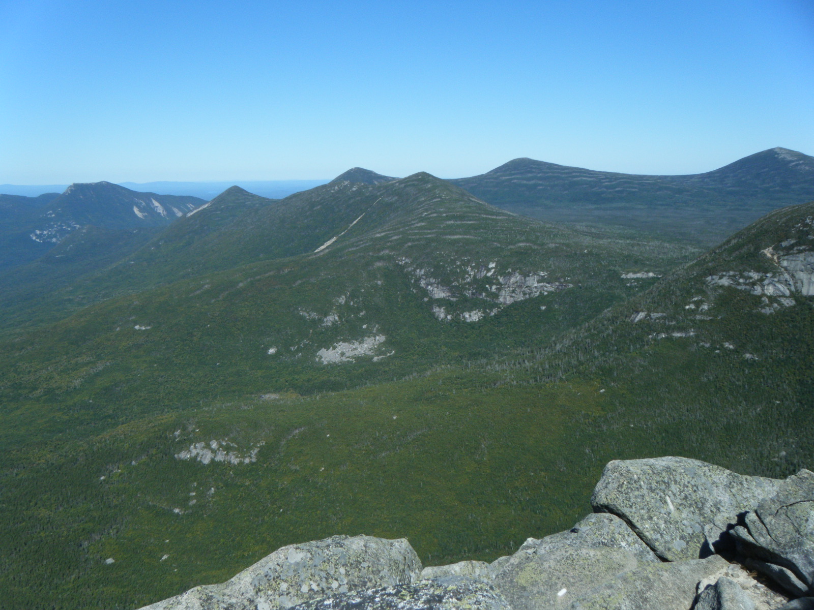
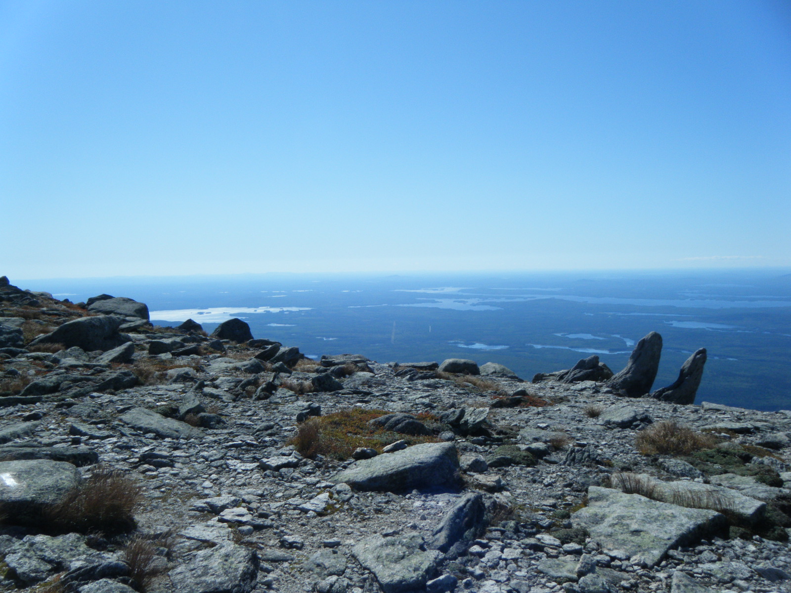
We awoke at 6:00am on Wednesday (August 31) and we were hiking by 7:00. We quickly covered 9.3 miles to the road crossing into Rangely. We took stock of our supplies and decided we could just barely stretch our food to Stratton, so Jackrabbit, Larb and I skipped the town entirely. Handstand went into town to use the library computers and stop by the outfitter, and we told him where we’d be staying the next couple nights so he could catch up. At the base of Saddleback Mountain there was a sign instructing hikers not to proceed after noon – we laughed at it and continued. At Piazza Rock Shelter we checked out the rock that was its namesake and used the privy. This privy was rather unique because it had two seats with a cribbage board between them. The shelter also had a caretaker, and that caretaker would even provide firewood. We were amazed at this level of luxury, and asked the caretaker if there was a fee to stay at this shelter, to which she replied “No, we’re not the AMC”. We did not stay at this shelter, however. We continued pushing toward Poplar Ridge Lean-to. We passed over Saddleback Mountain, then The Horn where we met five nice ladies who shared some fruit and extra food, ensuring we’d not go hungry on the way to Stratton. After The Horn we had one more climb up Little Saddleback Mountain. We’d heard it’s possible to see Katahdin from there, but we don’t think we could. Eventually we reached Poplar Ridge Lean-to after 20.1 miles. There were 20 students from a college orientation group at the shelter with us, but they slept under a tarp so the shelter wasn’t crowded. There were two guys from Quebec doing a short section, and they’d brought Rogue beer which they shared. While laying in our sleeping bags we wrote new words to “A Whole New World” from Disney’s Aladdin, about replacing a day-hiker’s heavy gear. We had everyone laughing themselves to sleep.
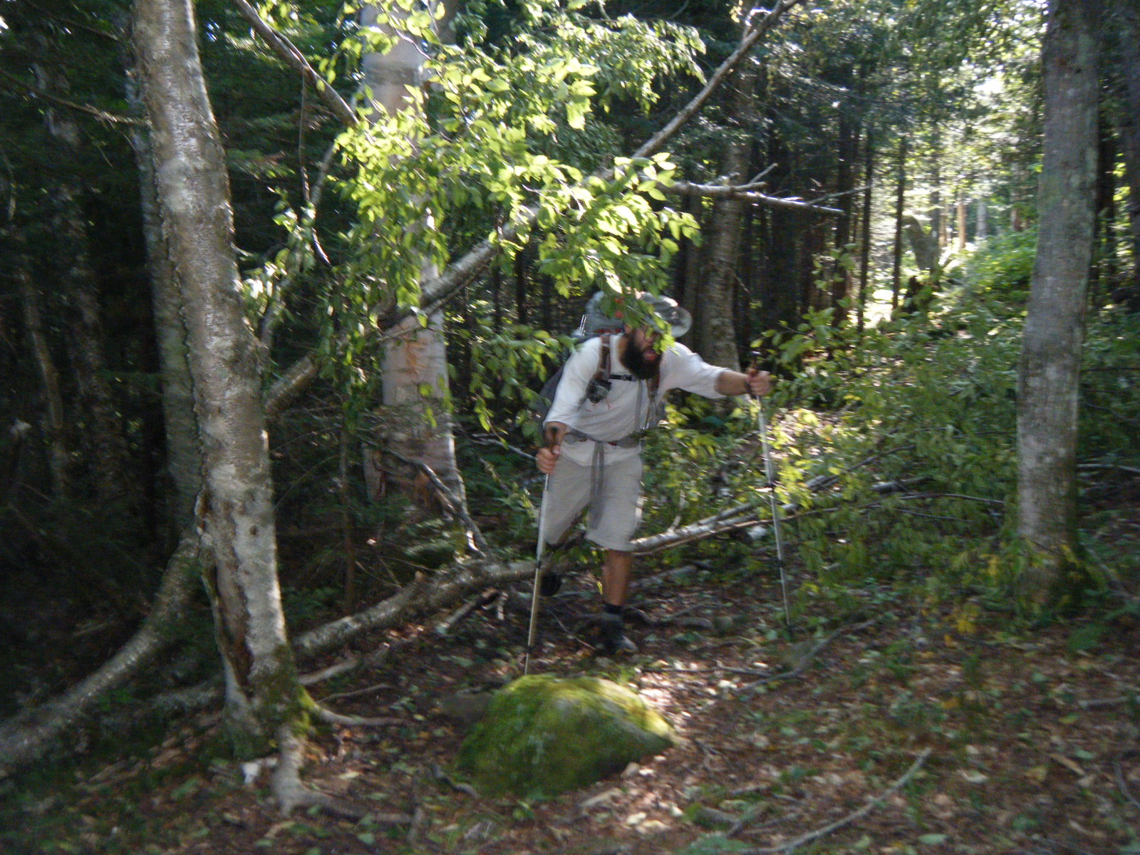
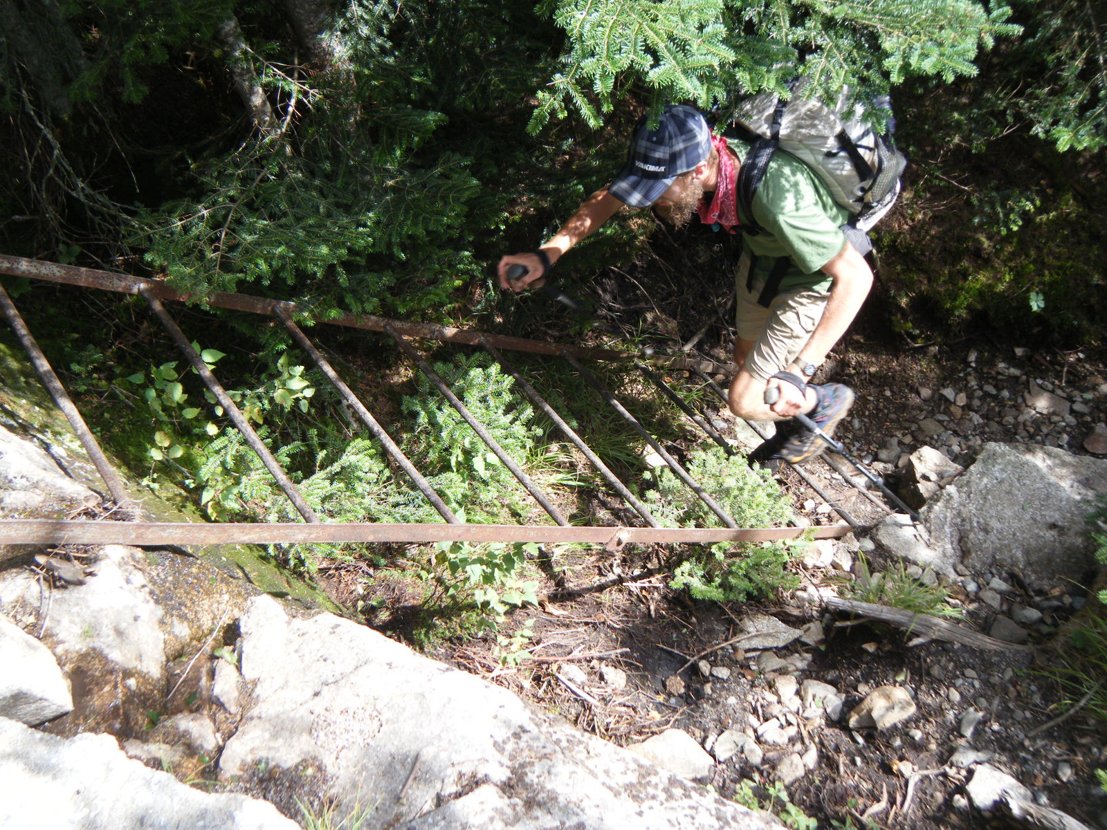
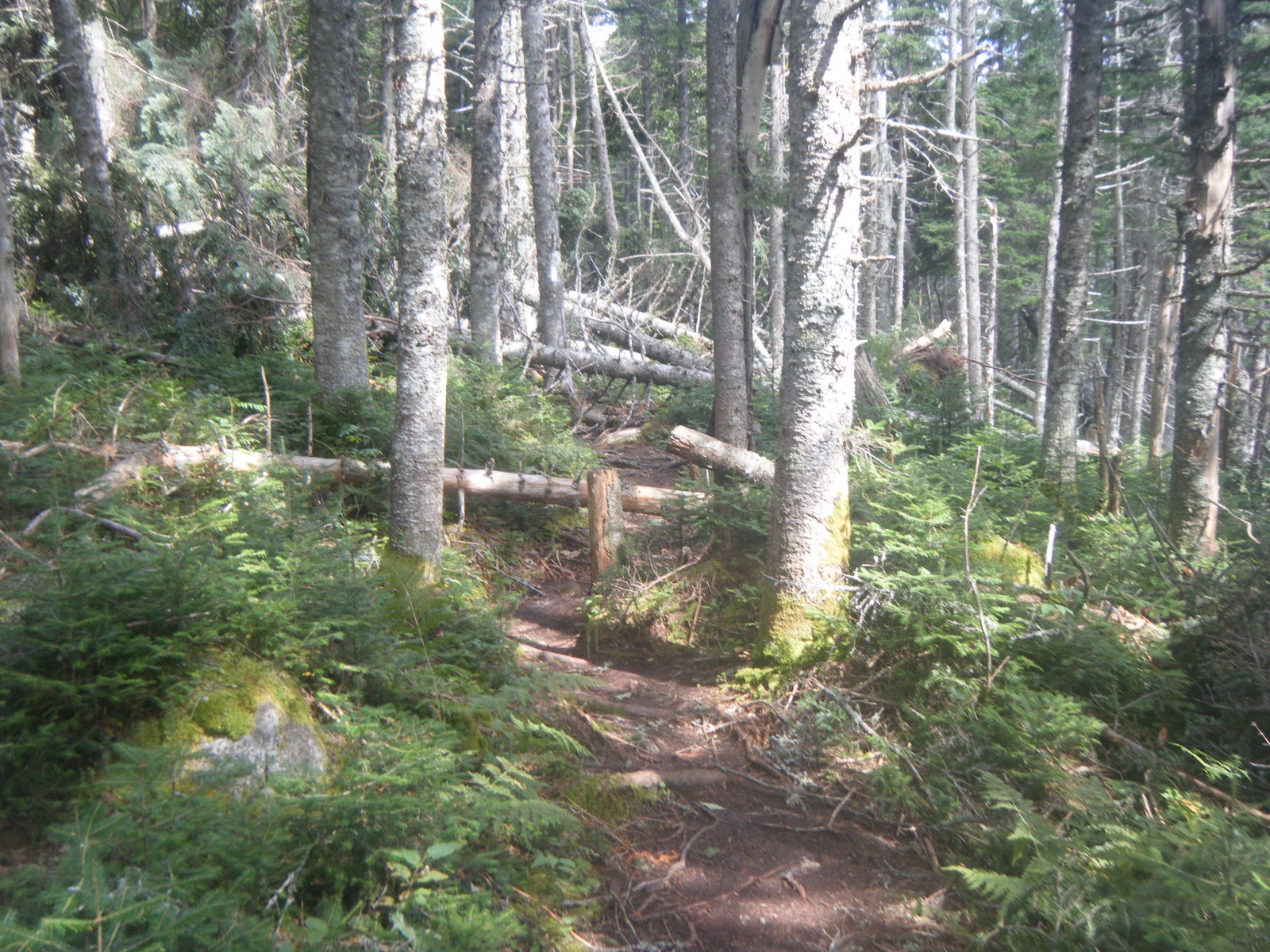
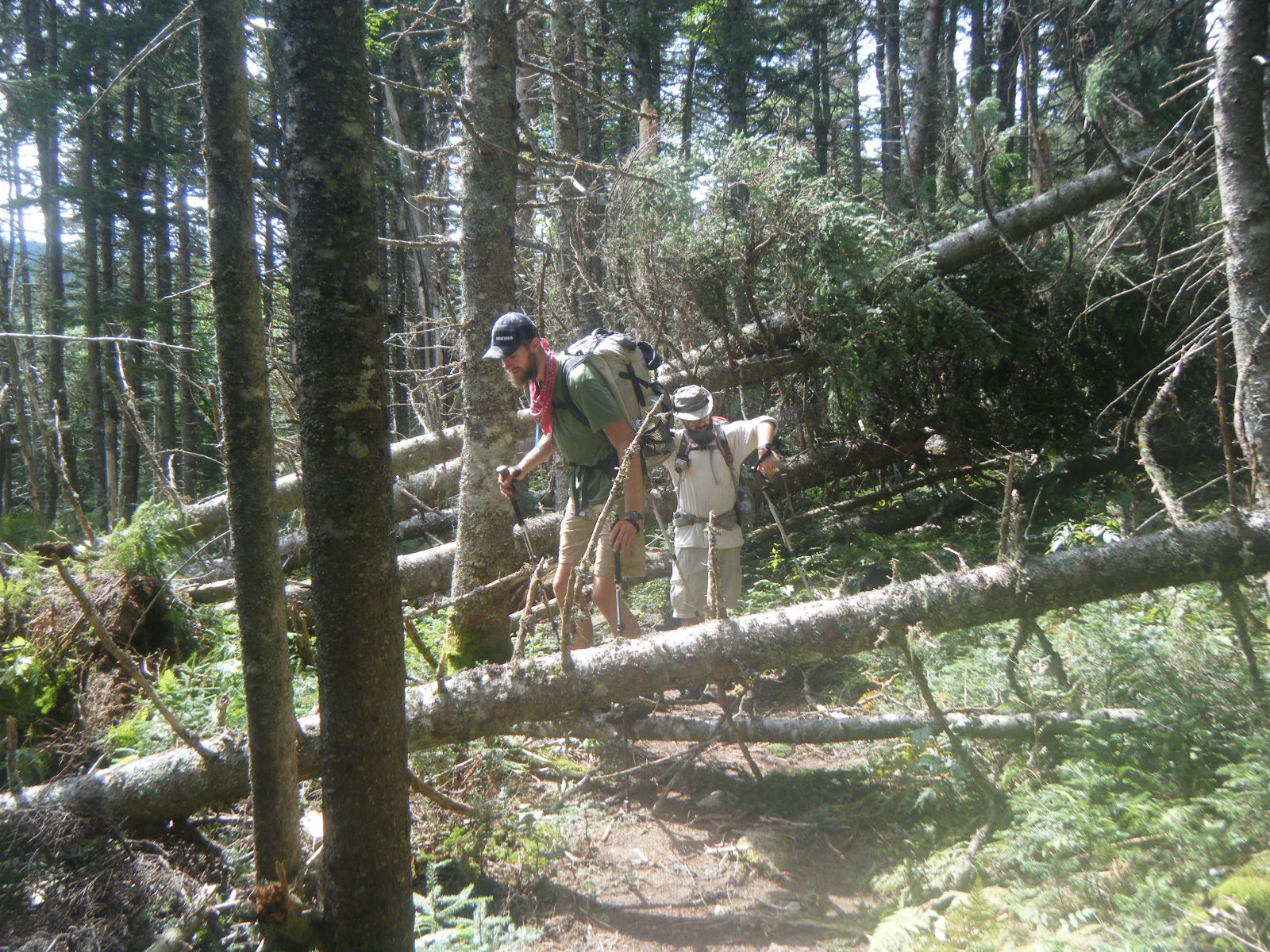
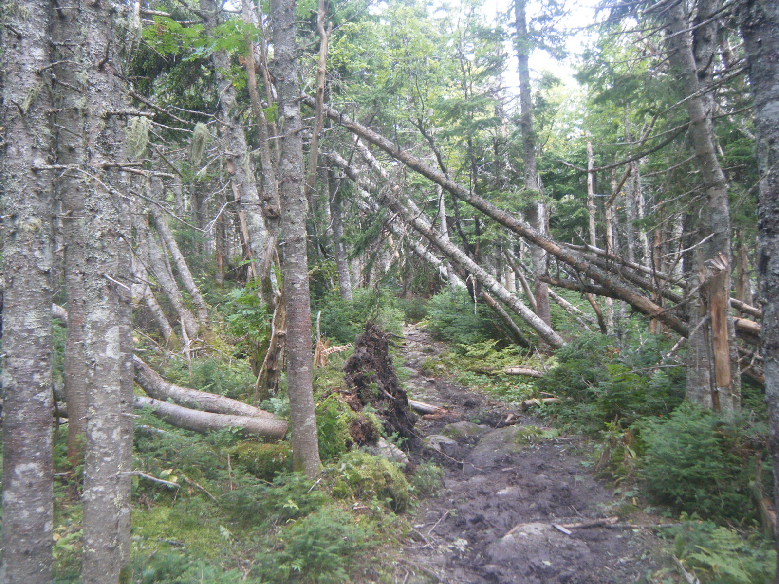
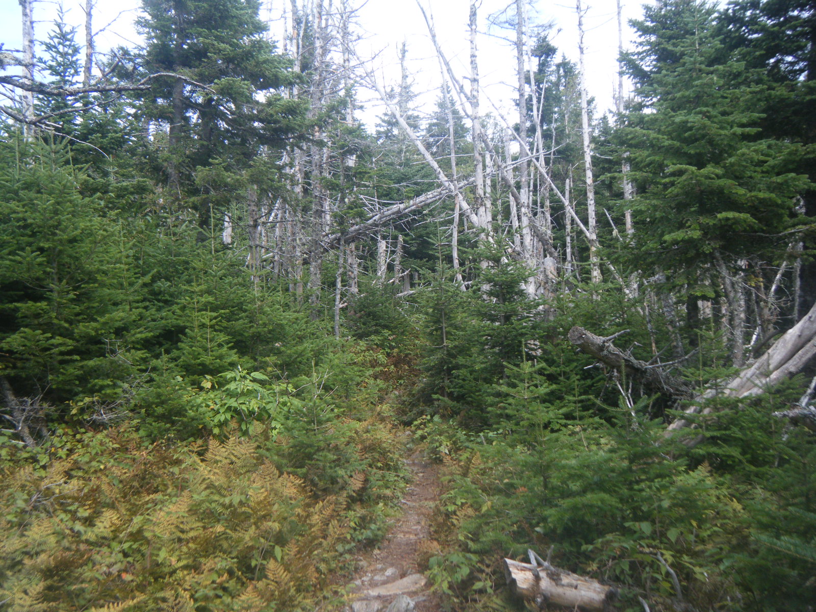
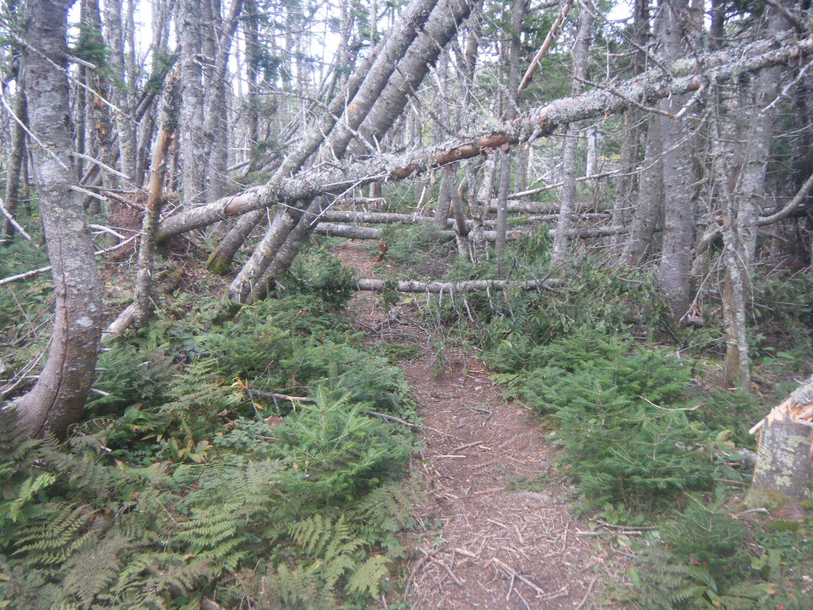
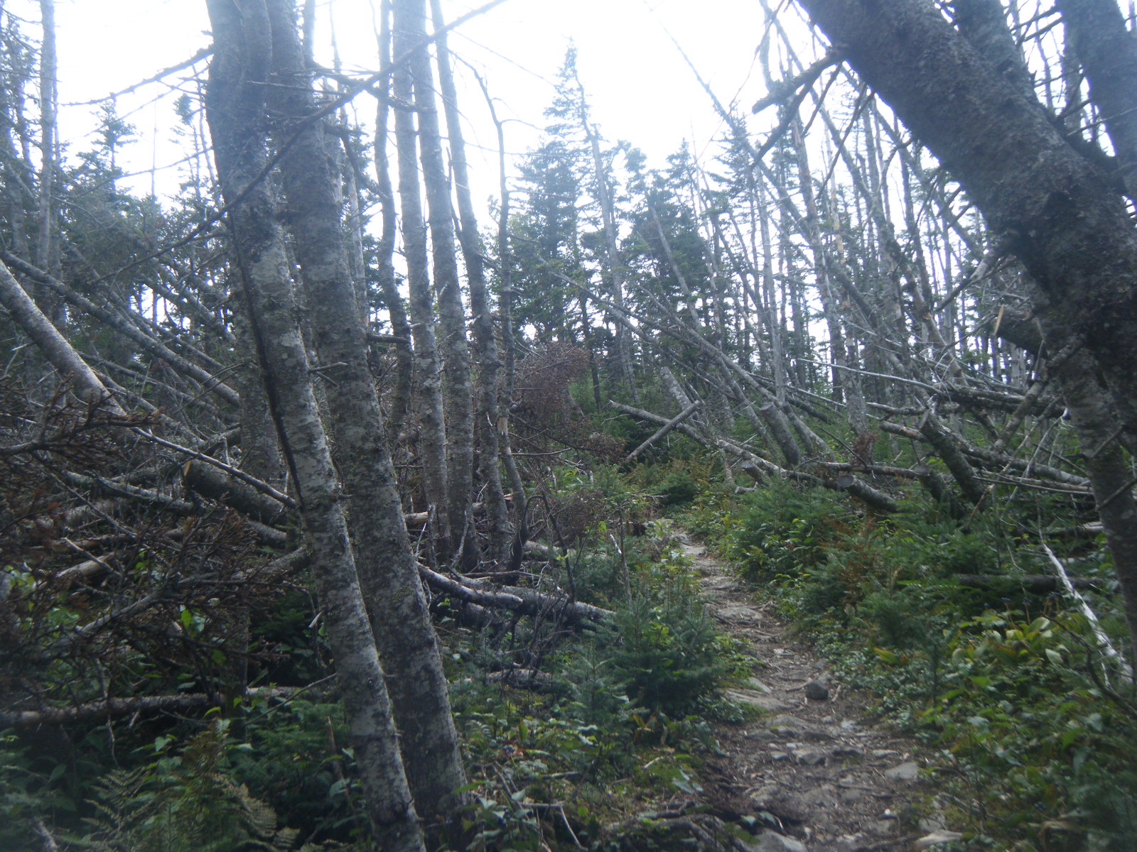
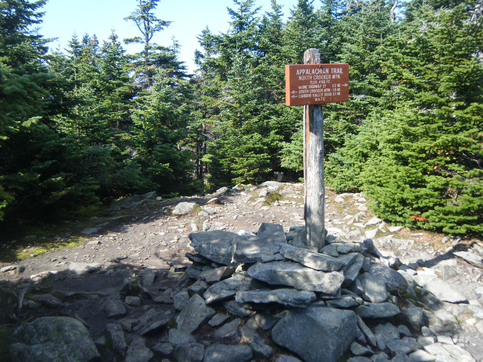
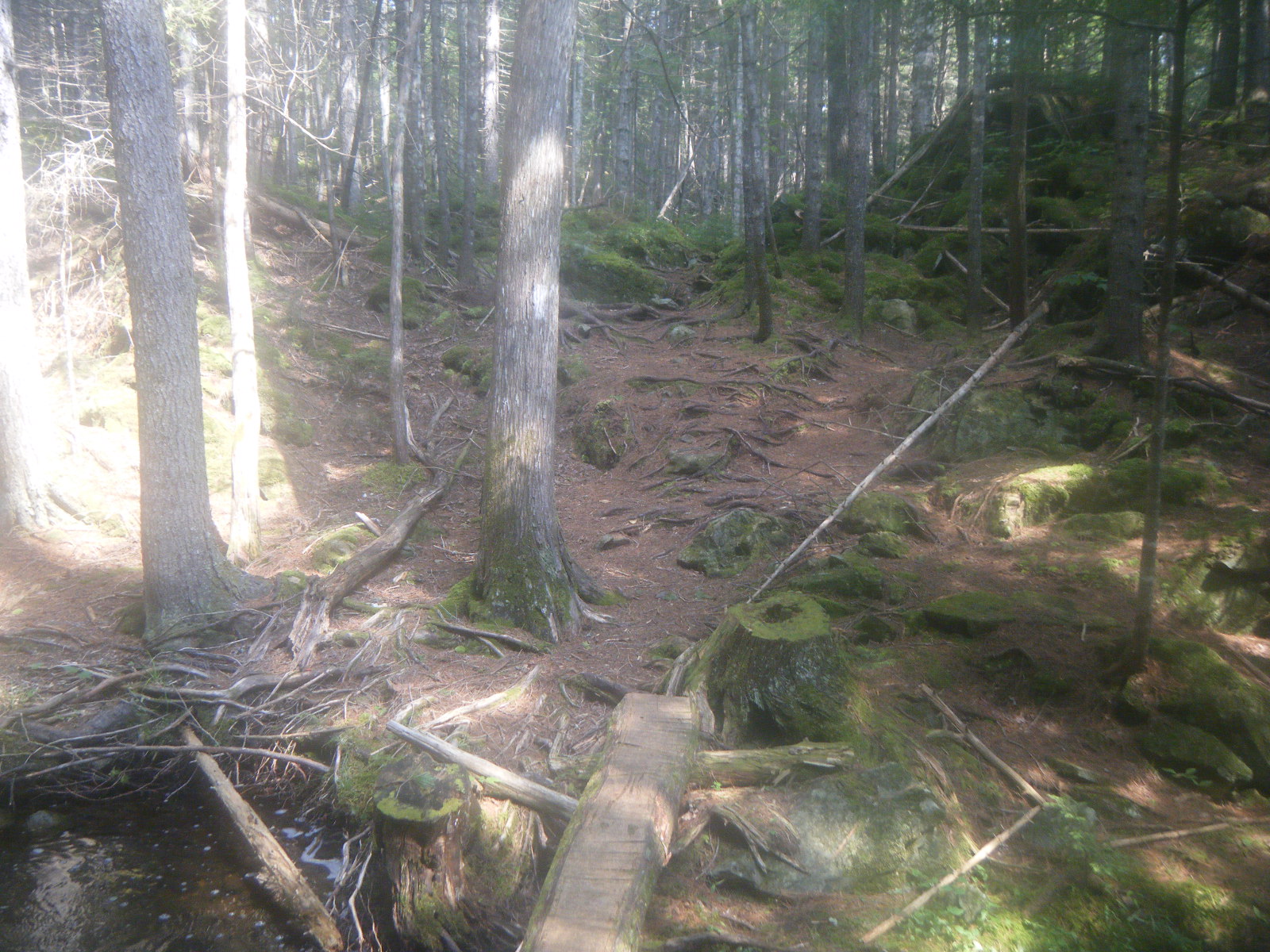
When I awoke on Thursday (September 1), I was pretty sure my NeoAir sleeping pad was leaking – it was significantly less inflated than when I’d gone to bed. We were out of camp by 7:00am again, and we sped through the first 6 miles without a problem. The elevation profile for the upcoming ridge walk seemed easy, so we stopped at Lone Mountain to call Rain Dancer. When we started hiking again an hour later, we ran into a section that may have had more fallen trees than standing. The trail was an obstacle course for 1.5 miles. We stopped for lunch at Spalding Mountain Lean-to, for which the water source is a spring. Larb and I relished the spring water because we’d had just yellowish ponds and streams for hundreds of miles. After lunch I pulled ahead of the others but waited for them at the South Branch Carabassett River. I added some blueberry-pomegranate flavouring to my bottle of spring water, then set it down to film Larb fording the river and promptly kicked it into the river. We stopped for the night a mile later at Crocker Cirque Campsite. The site had a very nice stream, but the camping area itself was a mess. We cleaned up a bunch of debris, removed a rusted hulk of iron, pulled down a widowmaker, rebuilt the fire ring, and build some benches and rock stools. We had a large fire to dispose of the debris and to keep the mosquitos at bay. The area looked a fair bit nicer when we left.
We slept late Friday (September 2) and started hiking at 9:00am. The day started with a steep uphill and then a long, gradual downhill. Larb cracked his ankle against a rock on the way down, and then sprained the other one. He was still able to walk on the ankle so we worked our way slowly to the road into Stratton. A bridge had washed out about 1 mile from the trail so there wasn’t much traffic on the road, but our hitching luck held out and we got a ride within a couple minutes. Once in Stratton we headed to the laundromat and ran into Handstand already there. We finished laundering, got some restaurant food, did a quick resupply, then got another easy hitch out of town to the trailhead. We did about 5 more miles out of Stratton, then stopped for the night at Horns Pond Lean-tos. Handstand and I arrived first, then Larb and Jackrabbit just as it was getting dark. Larb’s ankle was pretty swollen, but he said it only hurt a bit and he could keep walking.
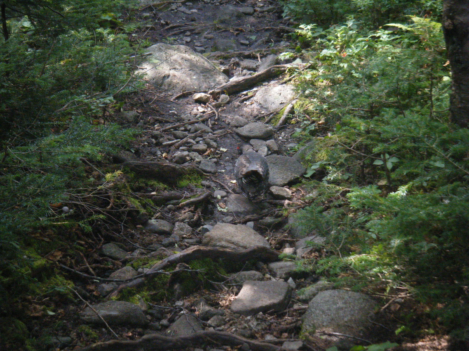
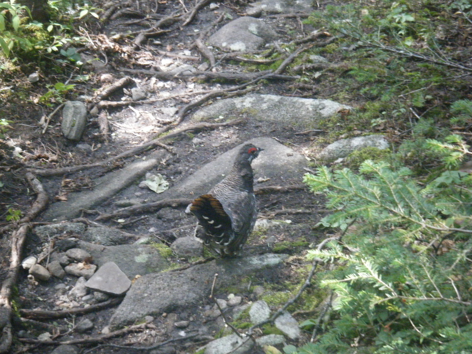
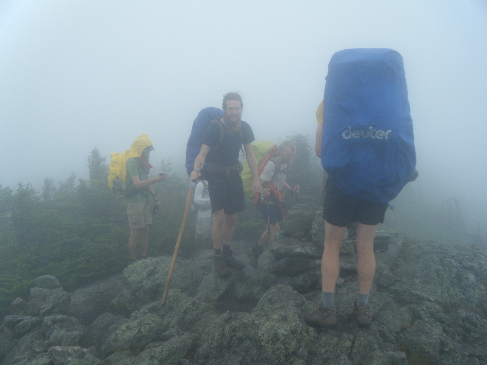
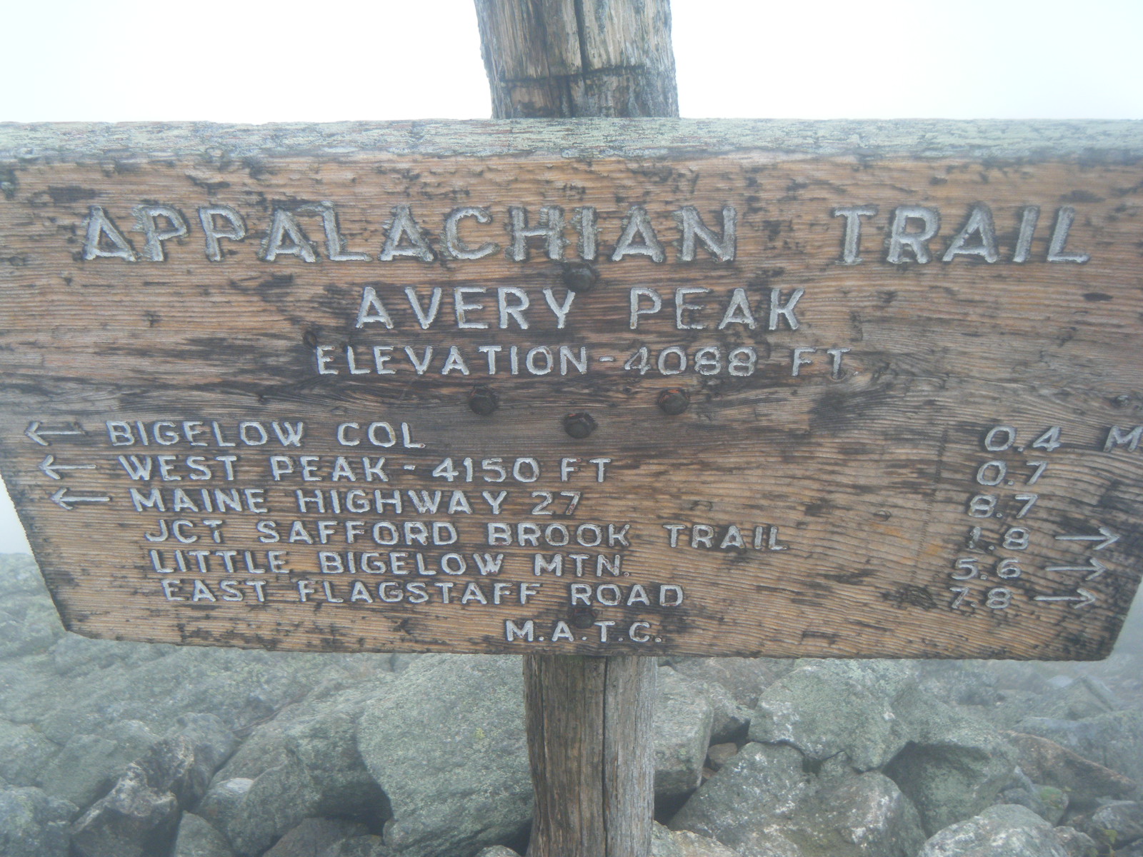
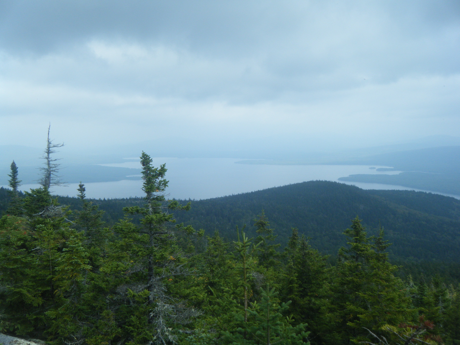
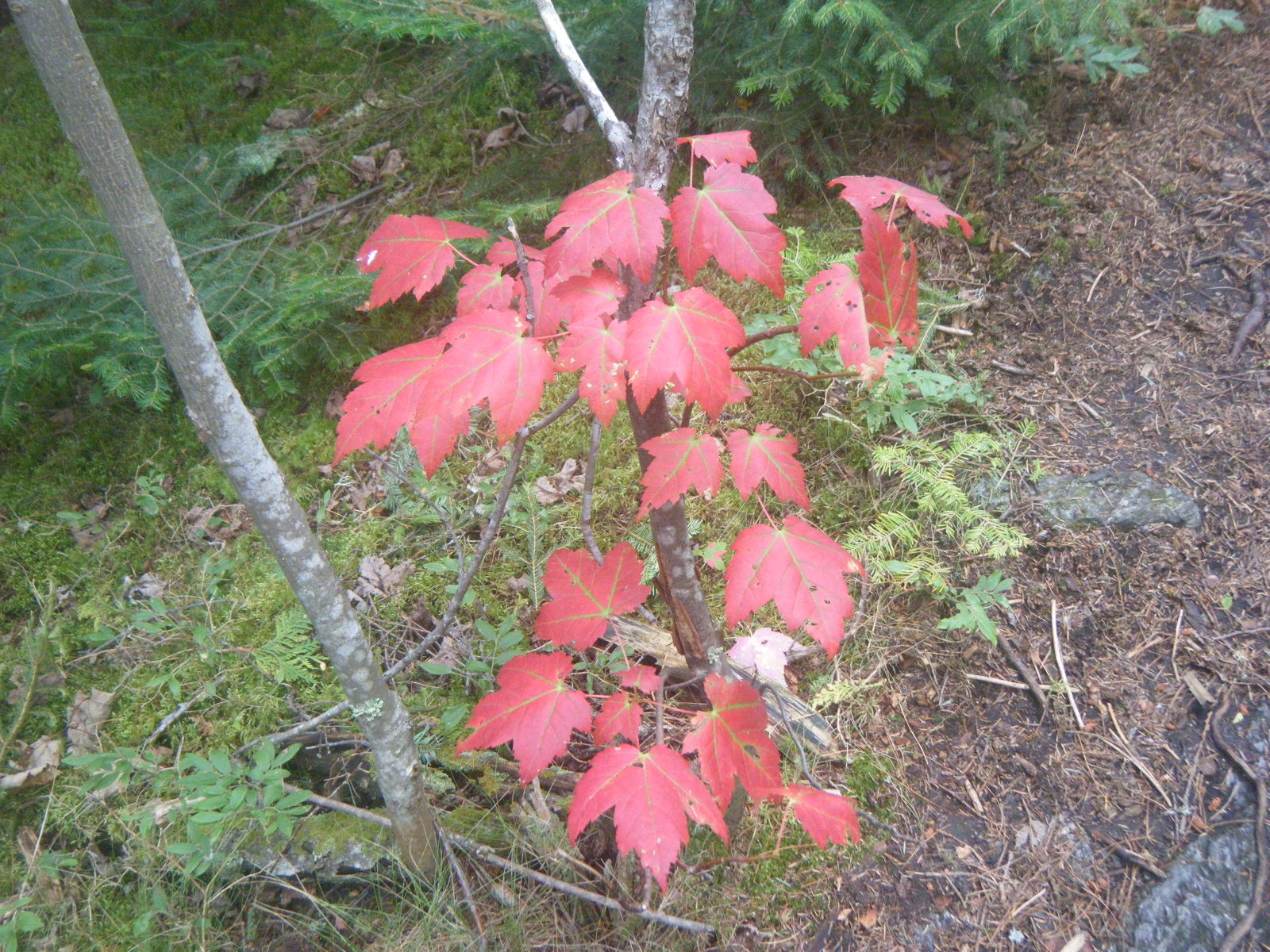
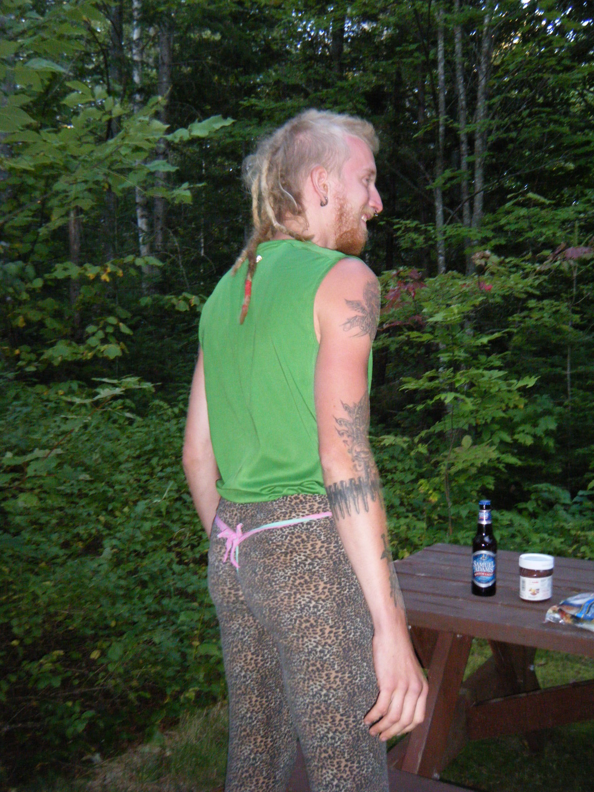
We could hear thunder when we awoke Saturday (September 3). It started sprinkling while we were packing up. While it was raining, I threw on my rain coat and headed to the privy. On the way there I passed two guys in hammocks and overheard one saying “Yep, the weather still says there’s a slight chance of rain.” The rain actually let up right before we started hiking, and the weather continued to improve throughout the day. The 5+ days of food in my pack didn’t feel as bad as it had during the climb out of Stratton. There were lots of blueberries on Little Bigelow Mountain. We stopped for lunch at Little Bigelow Lean-to where there were a series of swimming holes called “The Tubs”. It was a bit chilly for swimming, so we limited our stay to just lunch. Past Little Bigelow Lean-to the terrain was smooth and relatively level so we made really good time. Along the way I noticed a Leki trekking pole lying in the middle of the trail. I stopped and looked at the pole to see if I could recognize who owned it and to look around for the owner. While I was deciding what to do about the pole, I was beset by a swarm of wasps. I realized quite quickly why the pole had been abandoned, and I began running North as quickly as possible. I managed to escape with only one wasp attached (to my left ankle), and swatted him off as soon as I was at a safe distance. I pulled out my Sting-EZE and slathered it over the area, then wrote a note warning SoBos not to stop at the Leki pole. That done, I waited for everyone else to catch up in hopes that I could shout a warning of the wasps. Unfortunately I was unable to warn them soon enough. Jackrabbit was in front and picked up the pole, then quickly moved on when he noticed the wasps. Handstand was in the middle and was stung by two wasps, one inside the pants, before he dropped his own pole and ran away. Larb just ran, and made it out unscathed. Handstand managed to avoid further stings while sneaking back to retrieve his pole. It turned out the abandoned Leki pole had a sticker on it with the name and address of the owner, who happens to live about 20 minutes from Jackrabbit, so Jackrabbit kept the pole and intends to deliver it to the owner’s house. We continued on to West Carry Pond Lean-to where we met another college orientation group. This group seemed very nervous around us, as if we were liable to lash out irrationally at the slightest provocation. We tried to be friendly, but we think they may have had a previous unpleasant interaction with a less-amiable thru-hiker. We also met a thru-hiker named So Far who strangely already knew our names, and told us his friend was looking forward to seeing us again. It turned out that his friend was Hollywood, so we had a fun reunion and made a new friend in So Far. They’d been doing 30-mile days regularly to catch up to us and to summit in time for their return flights. They both had incredibly light packs, choosing to carry an emergency blanket instead of rain gear, using only one trekking pole between the two of them, and sharing a two-person tarp-tent that pitches on that trekking pole. The orientation group slept under a tarp again, and Comedy Central shared the shelter with Hollywood and So Far.
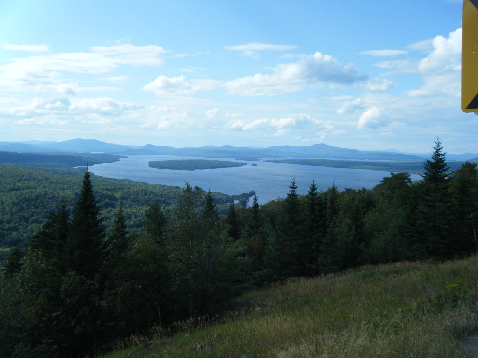
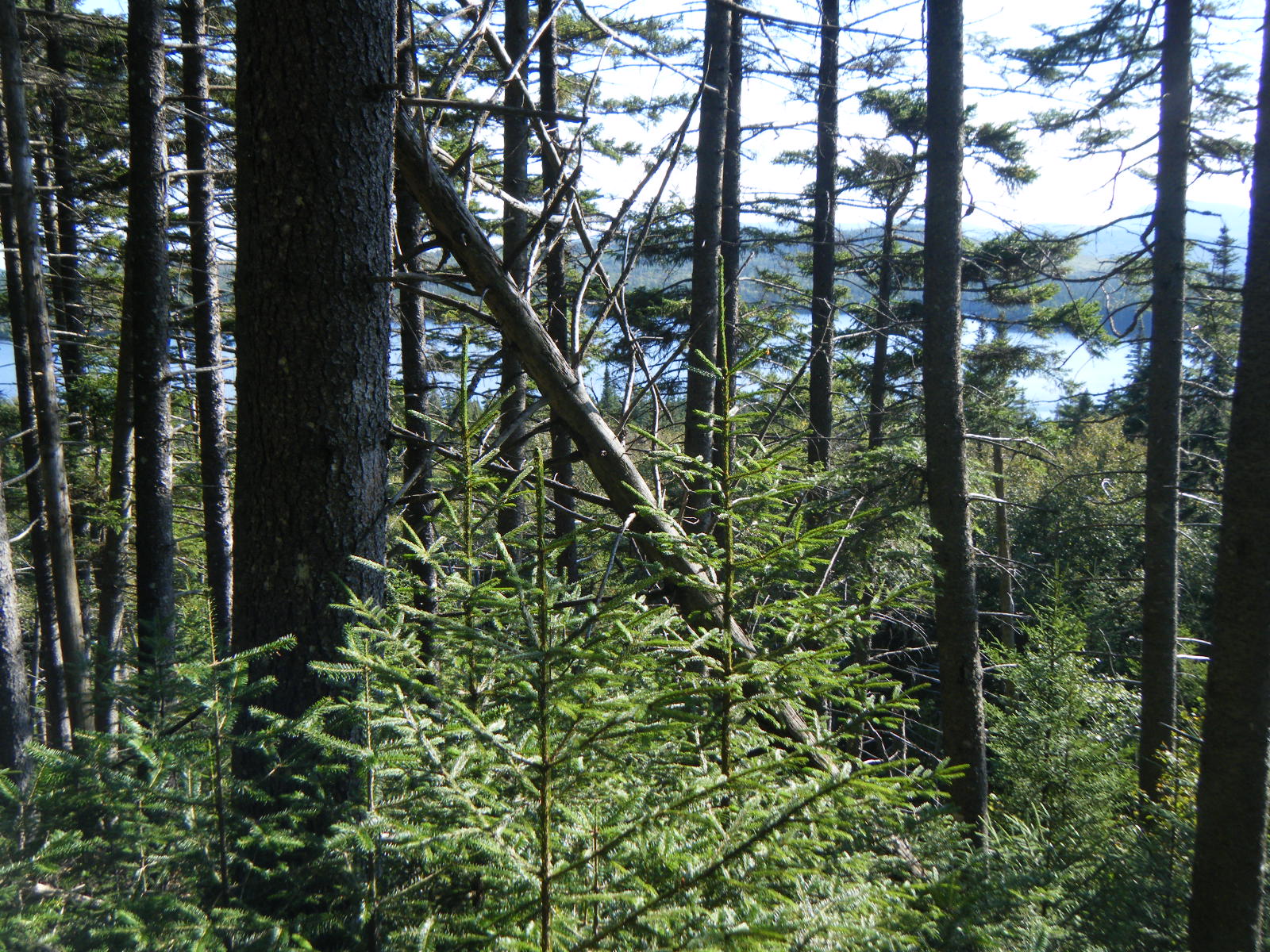
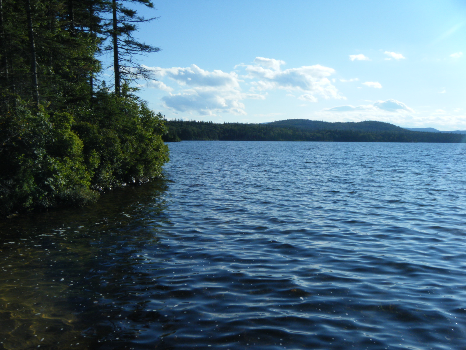
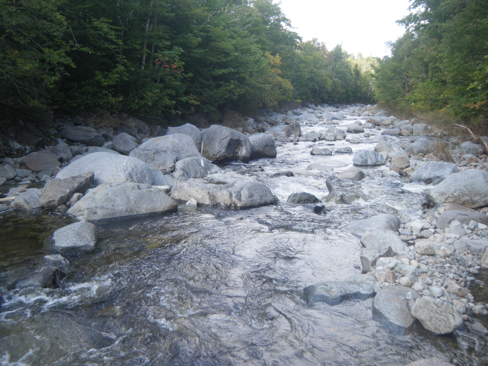
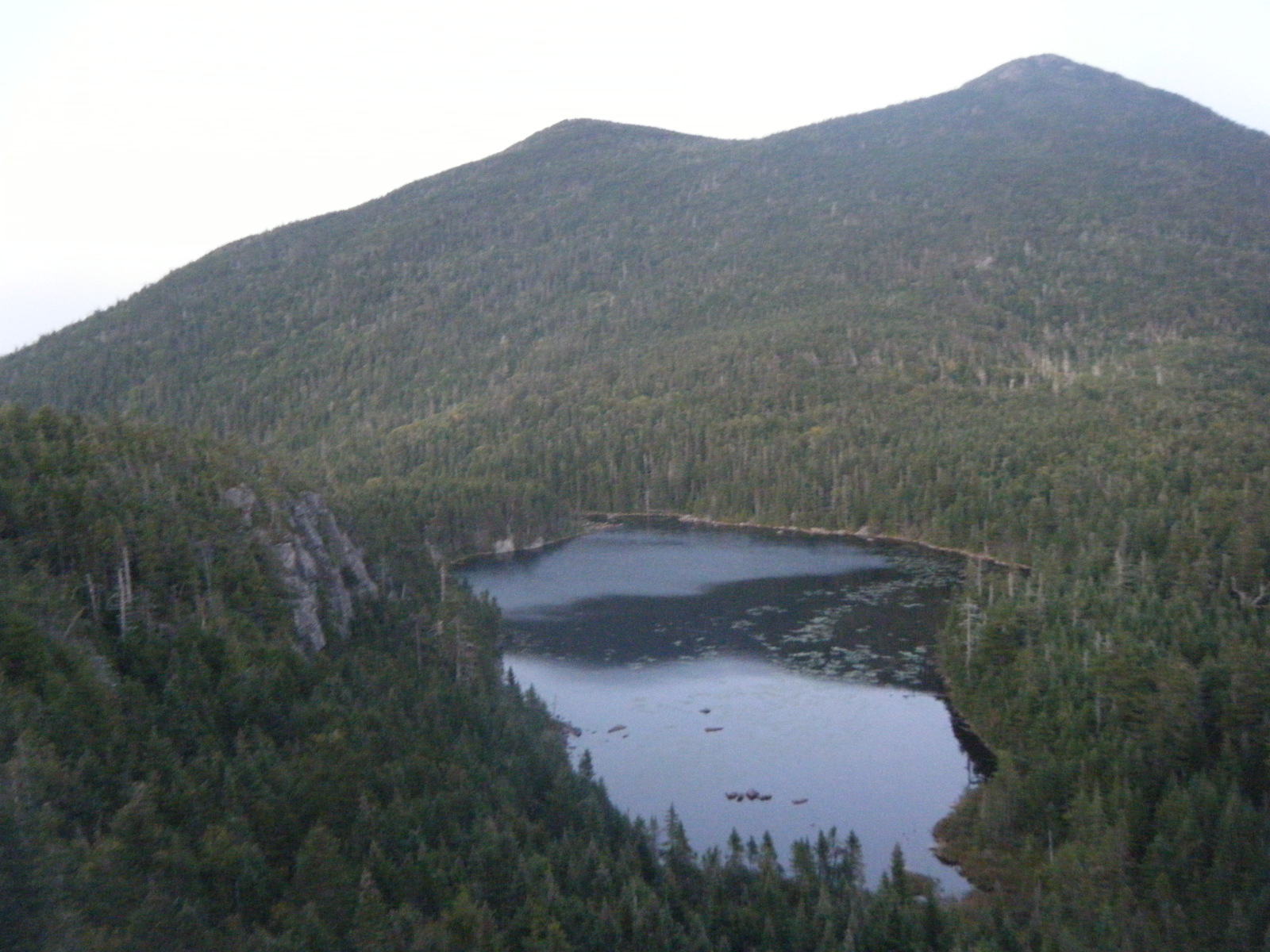
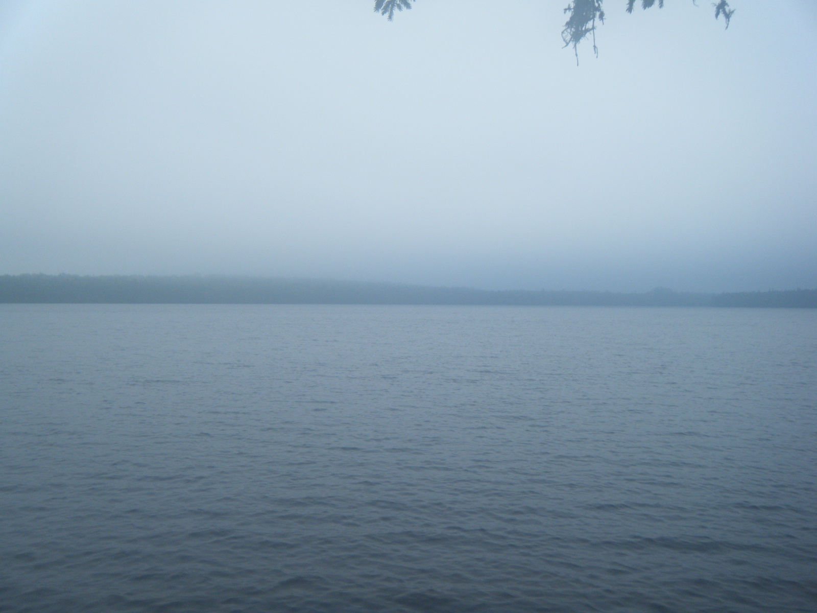
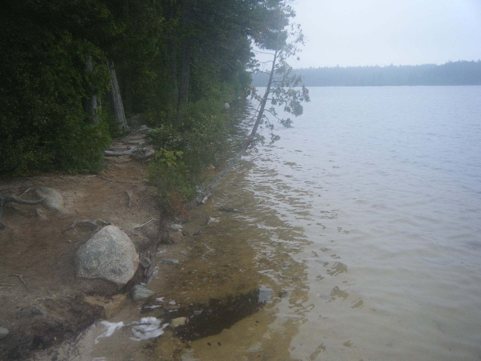
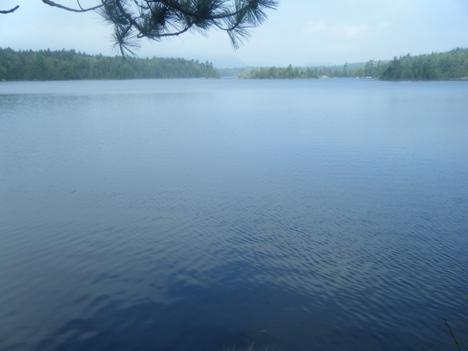
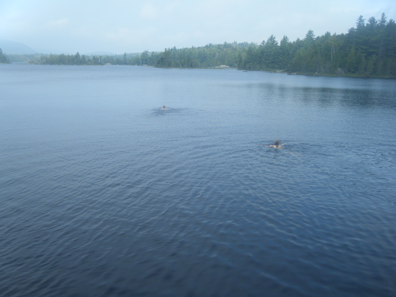
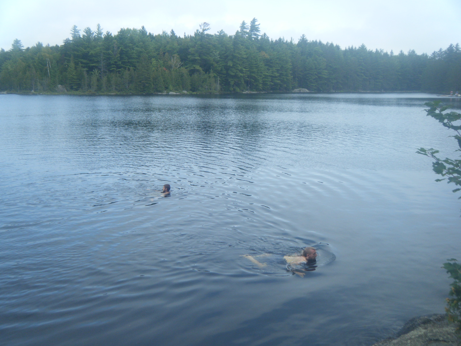
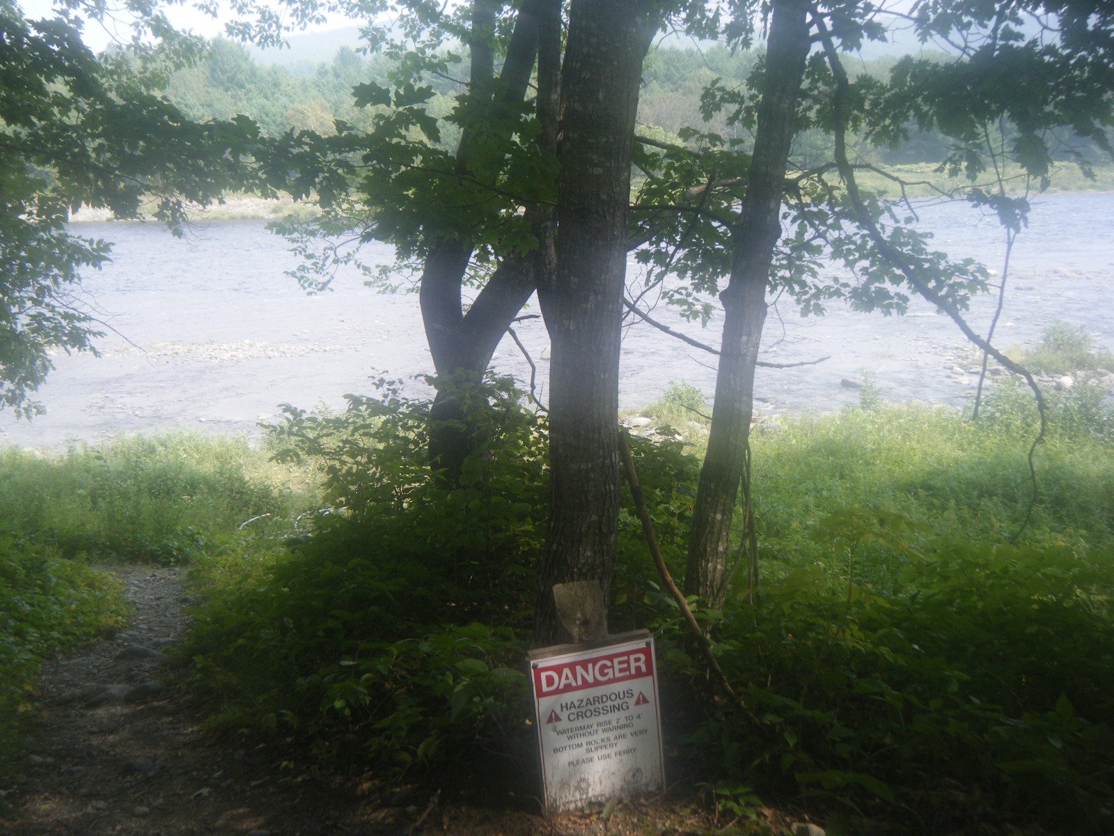
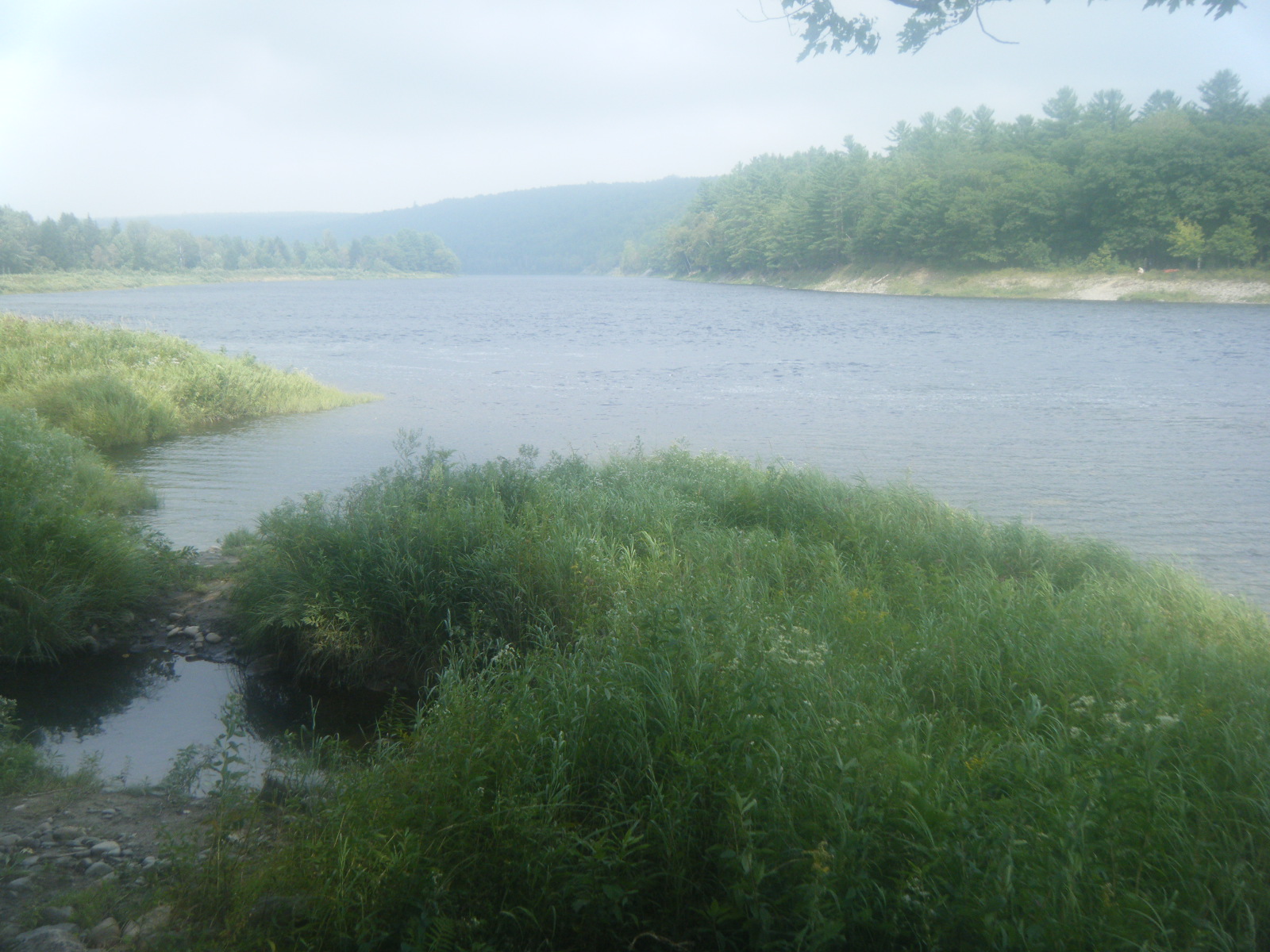
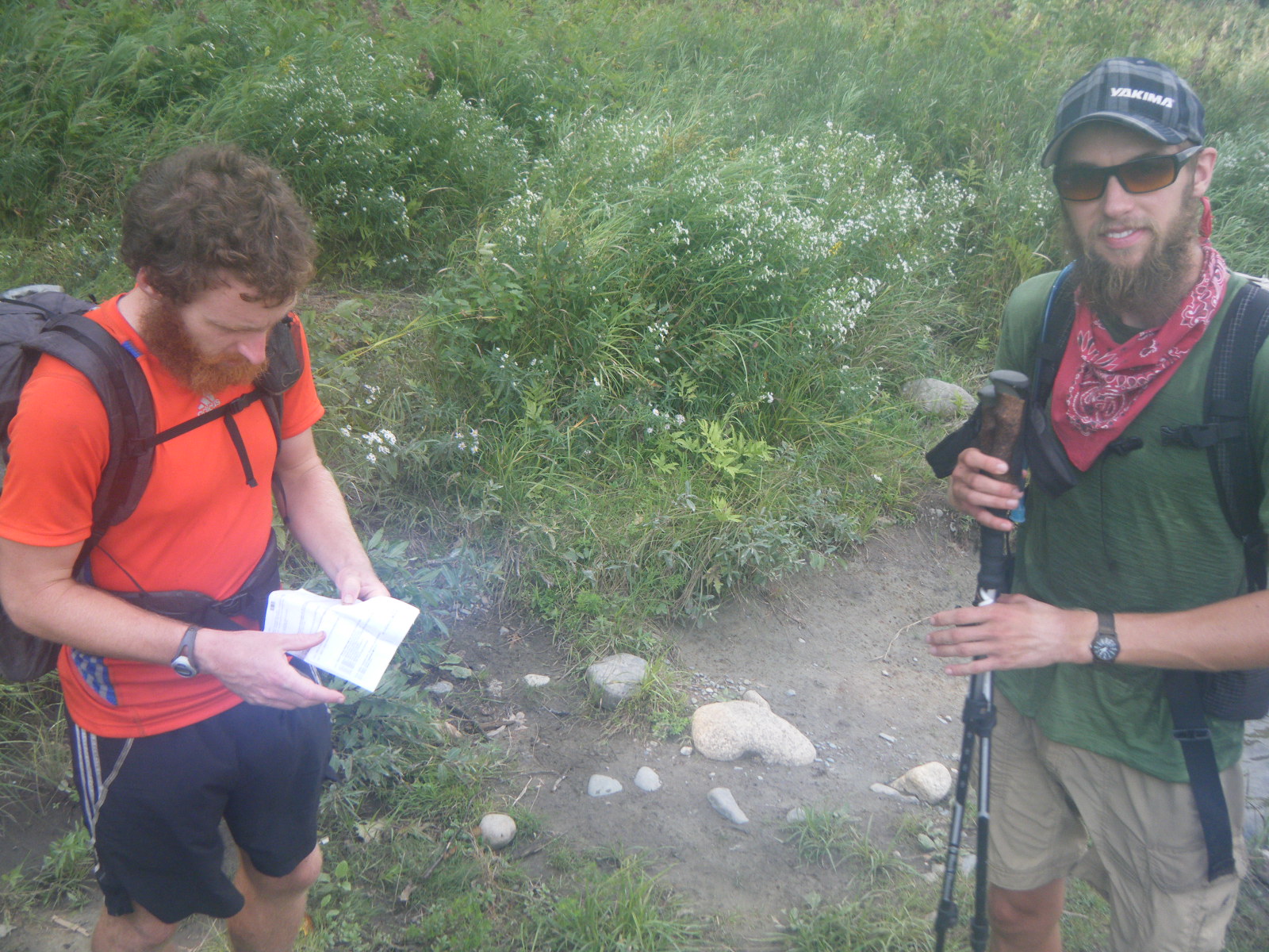
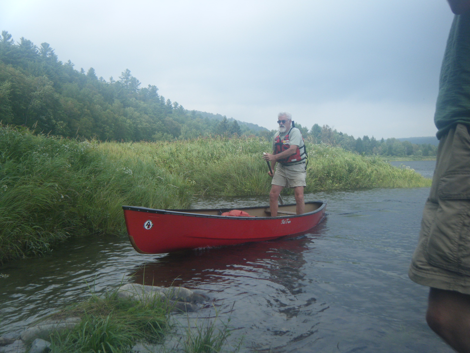
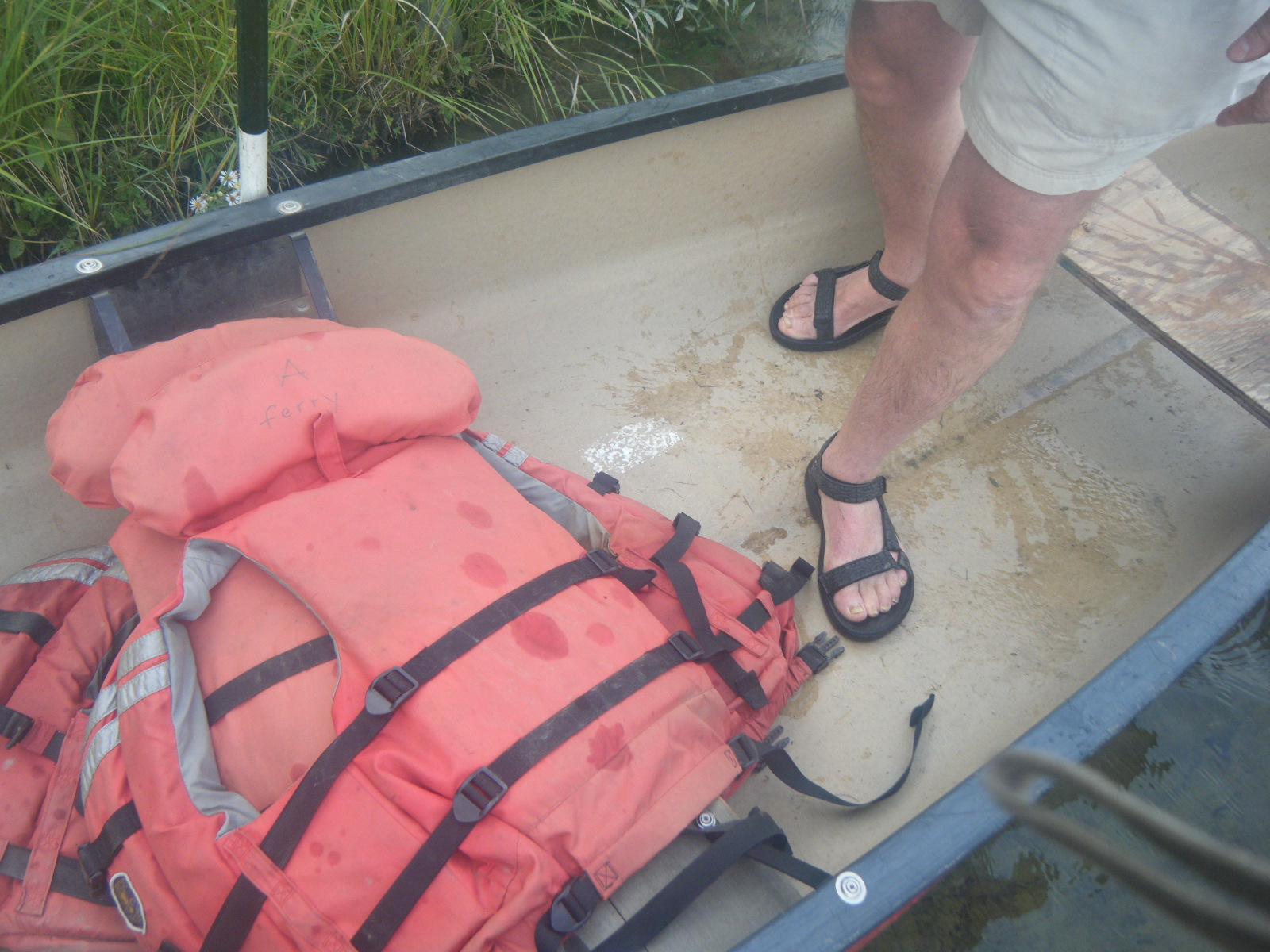
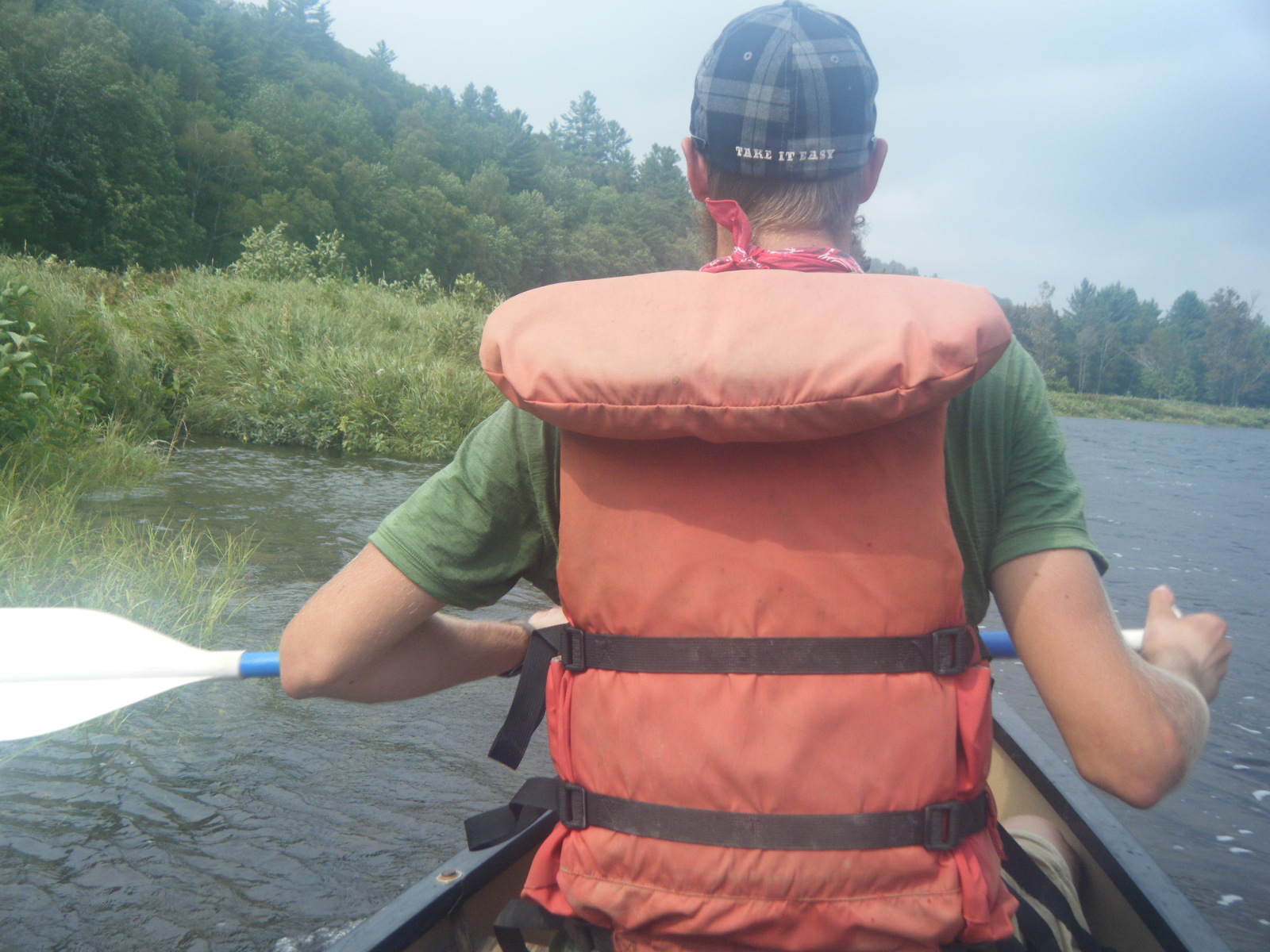
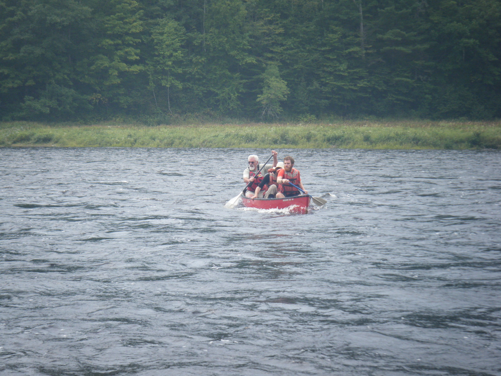
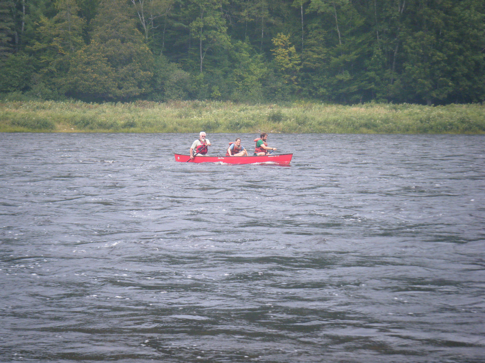
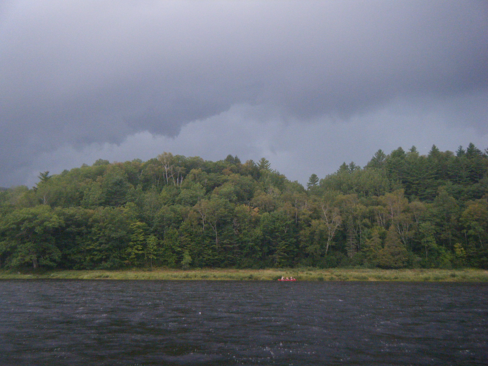
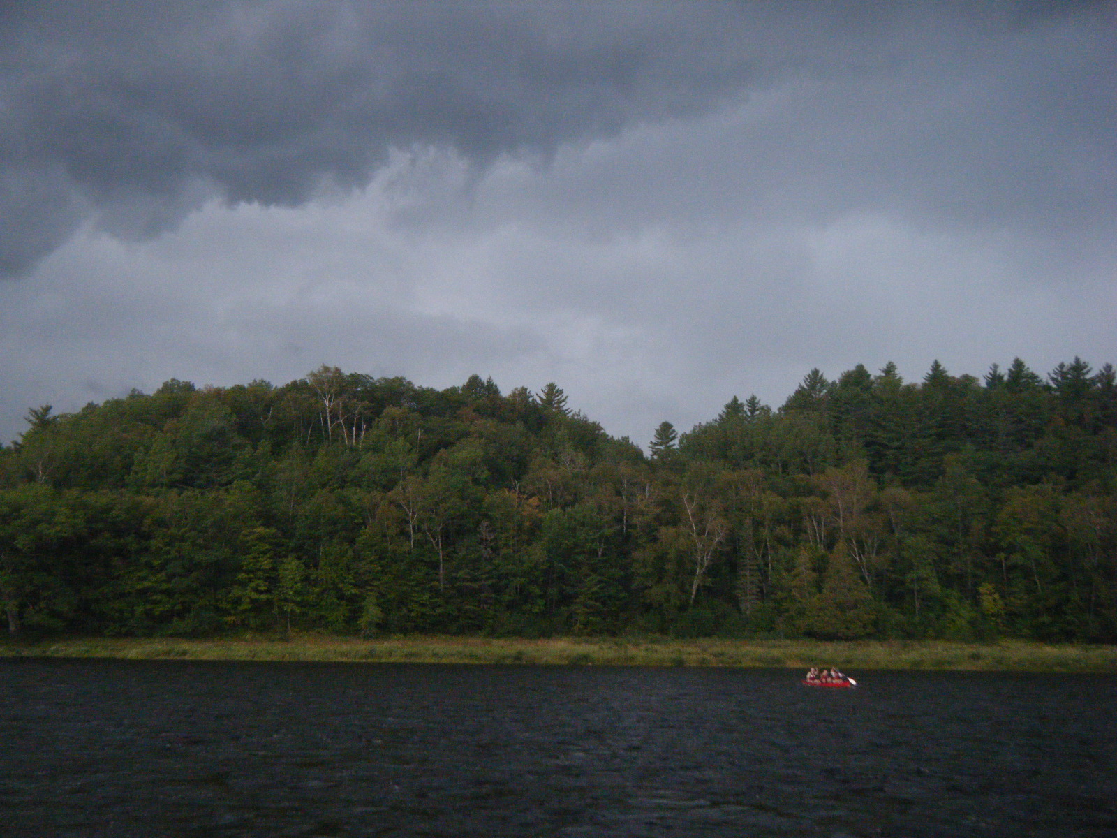
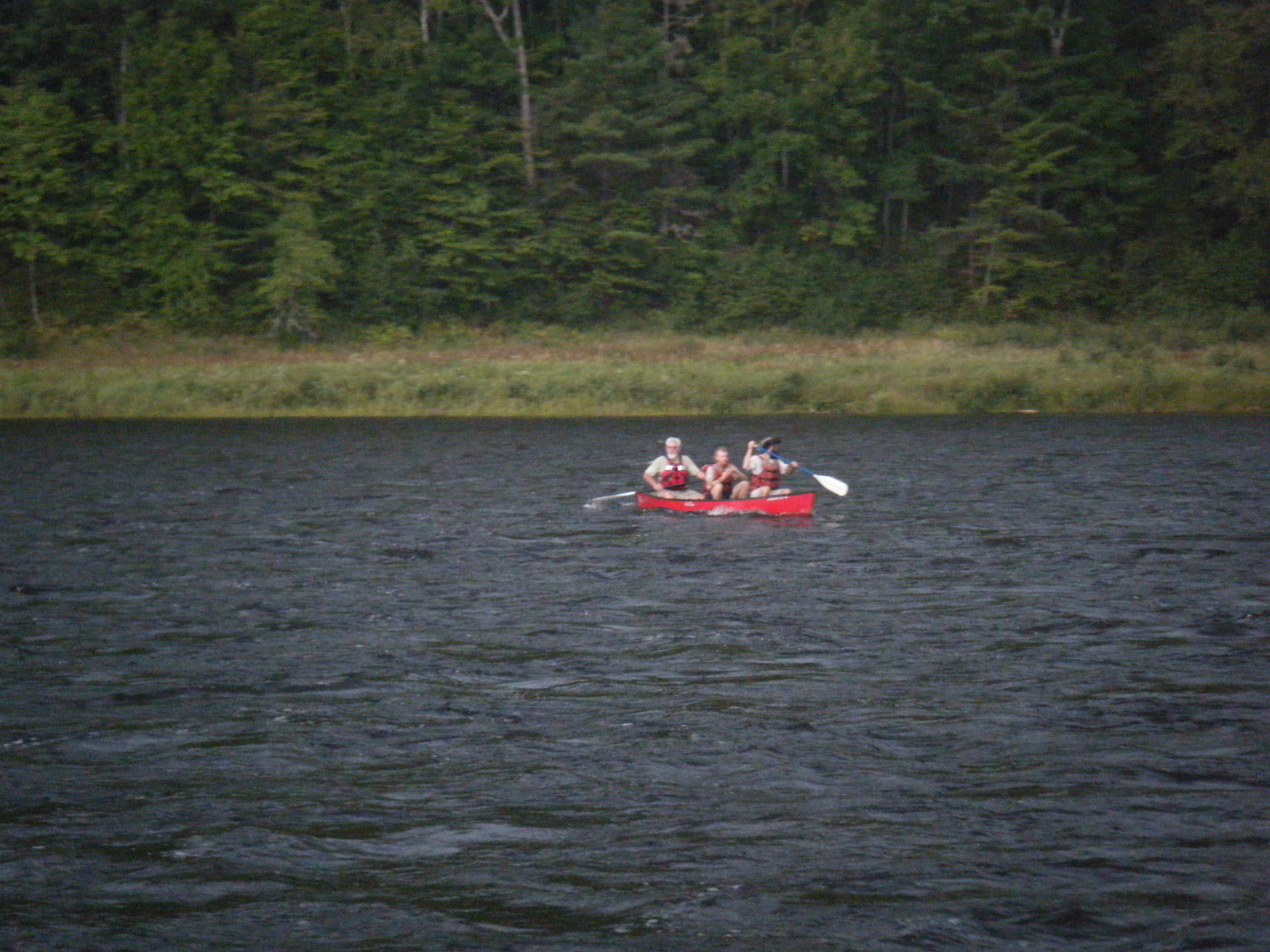
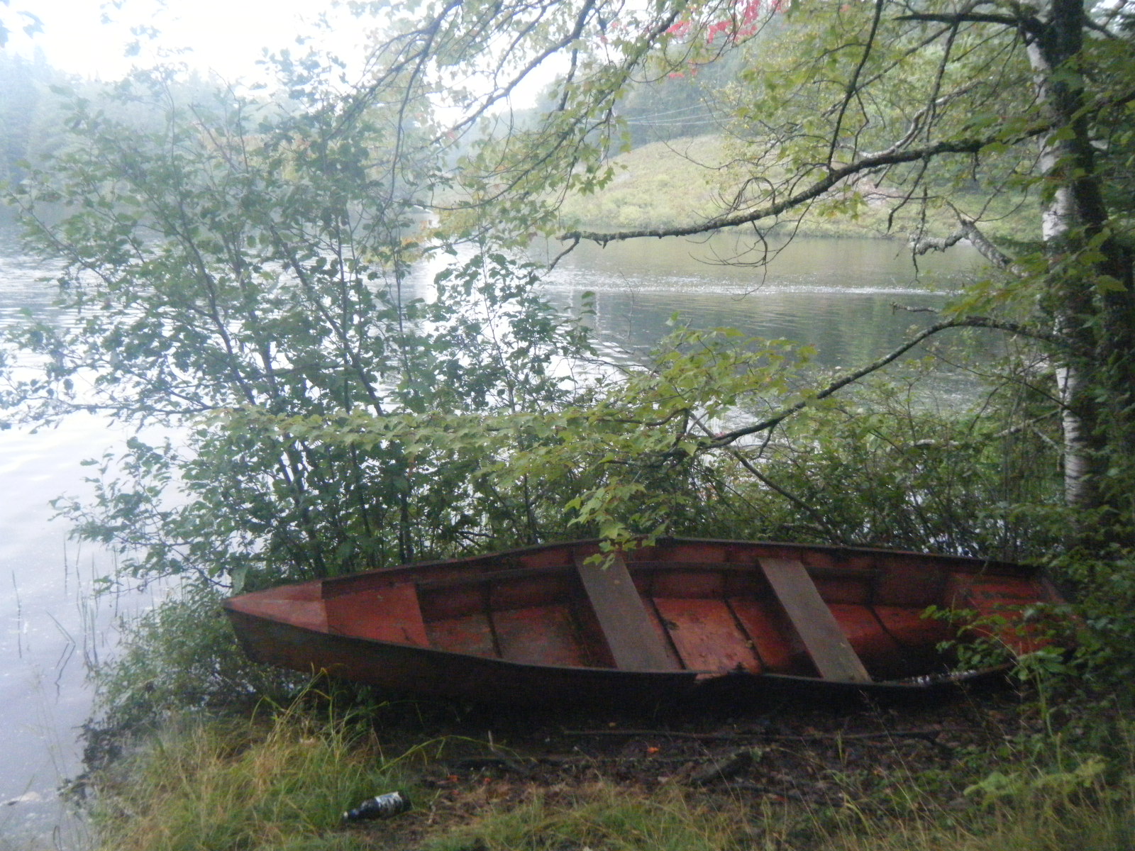
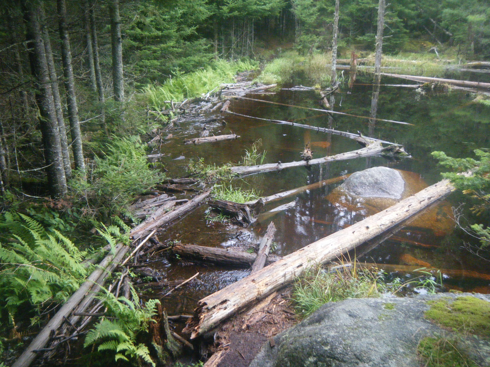
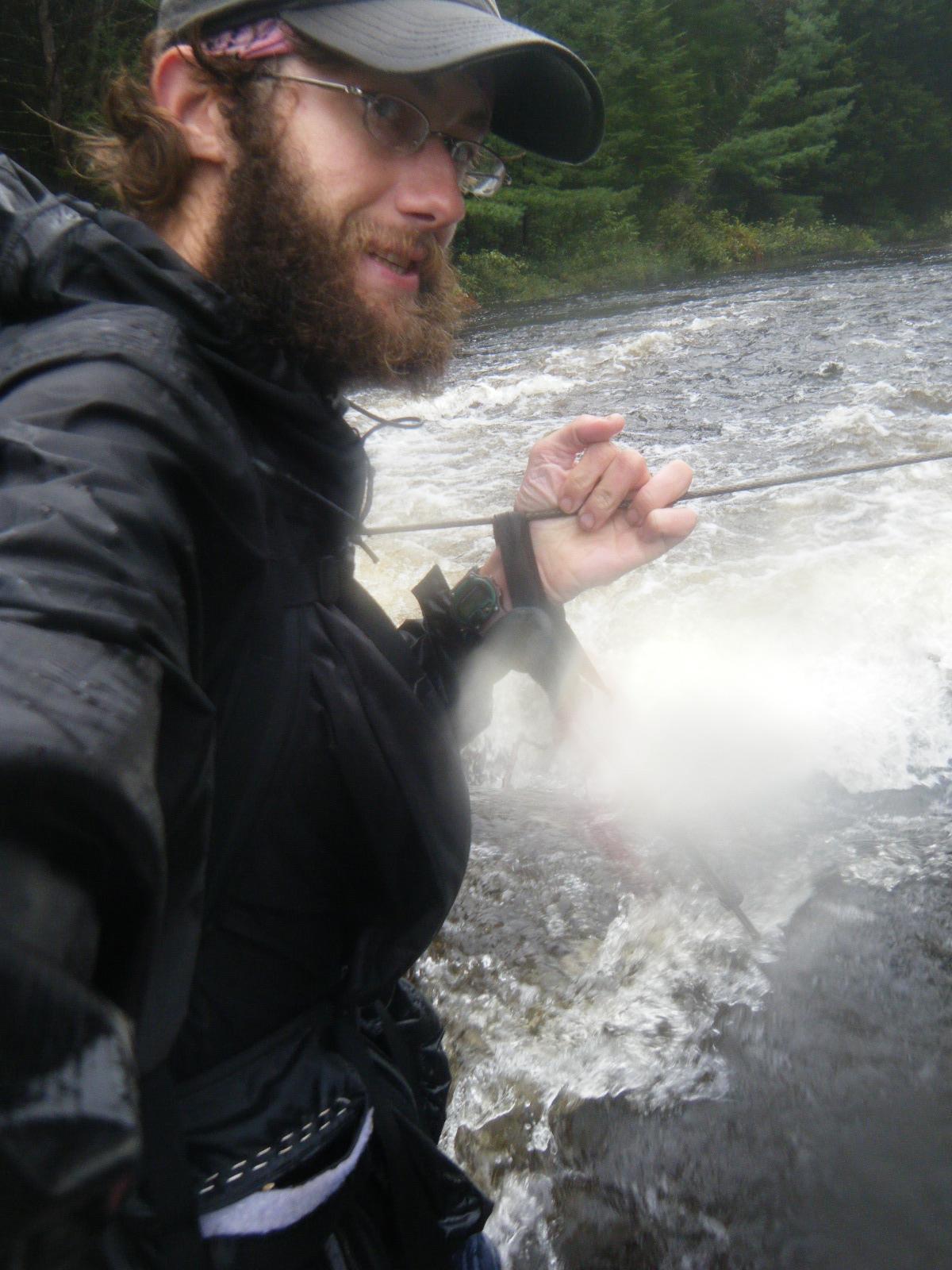
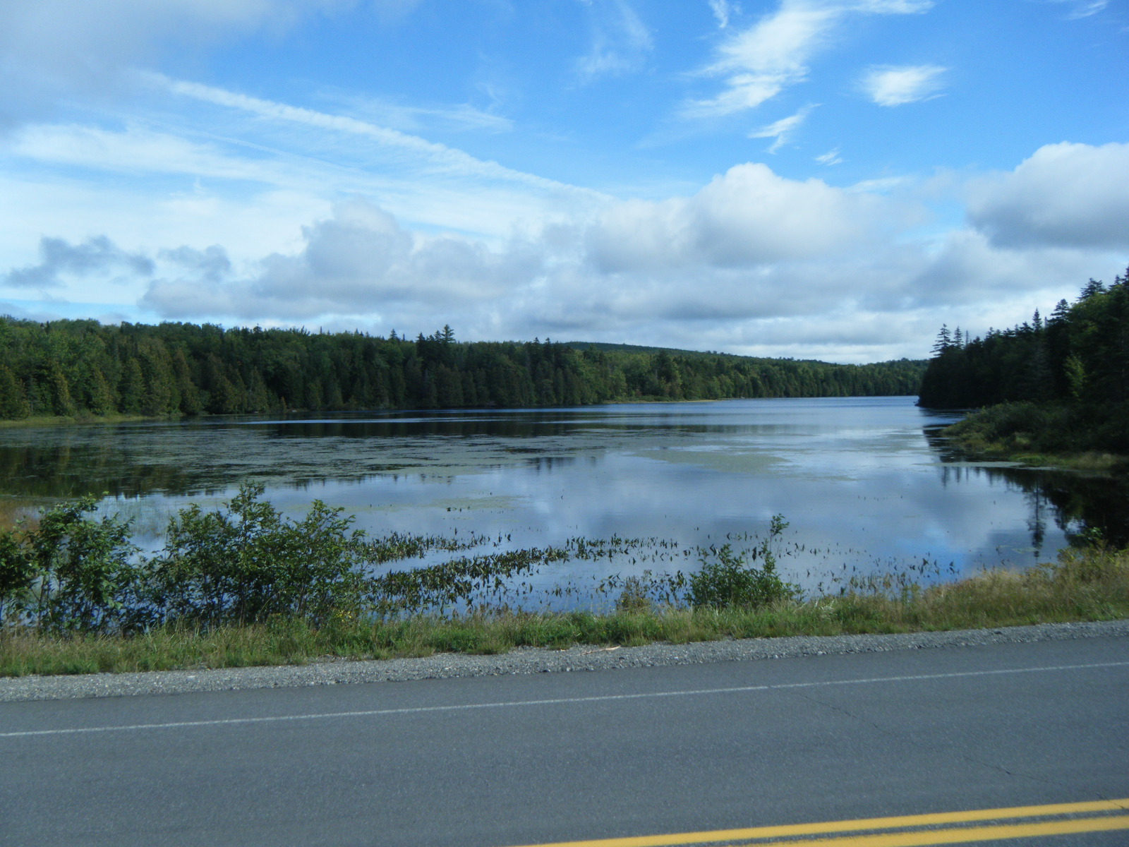
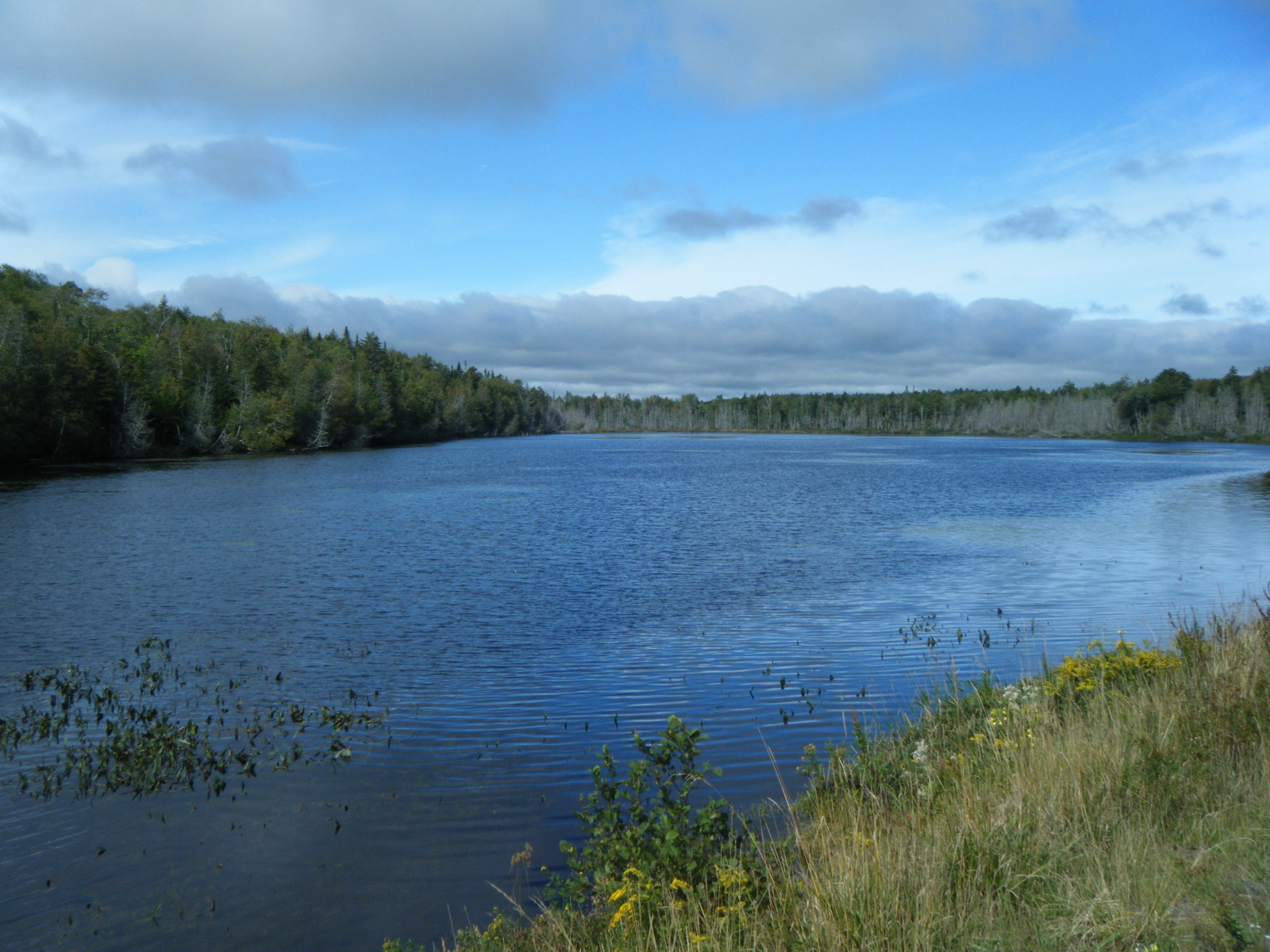
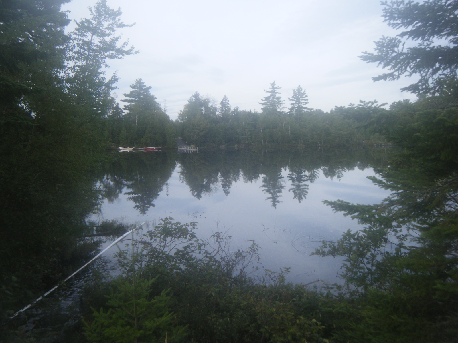
All six of us left the shelter on Sunday (September 4) around 8:00am and made very good time to Pierce Pond Lean-to. We’d been told there was another wasp nest waiting for us in this stretch, and Jackrabbit said he saw the nest, but I never noticed it. Fine with me. The Kennebec River is dangerous so there’s a canoe to ferry hikers across, but it only runs from 9:00am to 11:00am and 2:00pm to 4:00pm. We’d reached Pierce Pond Lean-to by 11:00am and only had 3.4 miles further to the Kennebec, so we took a long lunch and spent some time swimming in the pond. We moved on at 12:40 and Jackrabbit, So Far and I reached the river at 2:00pm exactly. We signed our waivers, strapped on some life vests, and paddled across. Once we reached the far side we promptly began waiting for Handstand and Larb. Unfortunately Larb had just re-sprained his ankle so he was late in arriving. Jackrabbit and I watched storm clouds rolling in while we waited, and we were putting on our rain gear about the time our friends appeared on the far shore. I bet Jackrabbit an oatmeal cream pie that the rain would get to us first. It started sprinkling before they were across, but the real rain started the very moment they got to our side of the river, so we called it a tie. Larb decided to give his ankle some proper rest, so we hiked a half mile further to Caratunk where we said temporary goodbyes. Larb hitched to Monson and the rest of us had a very wet, very frustrating hike to Pleasant Pond Lean-to. As always, it had stopped raining just about the time we arrived at shelter. Handstand was already in the shelter when I arrived and there was room for one more person, but I decided to tent because I knew Hollywood and So Far only had the tent for emergencies and they pretty much relied on getting shelter space. I set up my tent down a short trail and on the other side of a small stream, on some level ground next to a fire pit. I didn’t quite have time to cook before it started raining so I finished dinner under the vestibule, then got everything situated in the tent and was reading when I noticed the floor of the tent felt rather like a water bed. At about the same time, I noticed a pool of standing water inside my tent, and realized that the entire area around my tent had turned into a river. A steady stream of water had flowed under my tent and up against my sleeping pad where it backed up and became a large pool until it grew large enough to flow over the edge of my tent’s bathtub floor. I opened the door to the tent to give the water an exit and immediately stuffed my sleeping bag into a plastic bag. While doing so I noticed bubbles coming out of my sleeping pad, so I took a moment to grab my Sharpie and mark the location of the leak. Once my sleep-related gear was safely packed into waterproof packaging, I got dressed and evacuated to the shelter. The stream between my tent site and the shelter was flooded over the bridge and there was water everywhere. It wouldn’t have mattered if I tented somewhere else – virtually everything had turned into running water. There was even a stream flowing underneath the shelter. There were already 7 people in the 6-person shelter (Hollywood and So Far had arrived), but we managed to squeeze me in as well. Thunderstorms raged throughout the night.
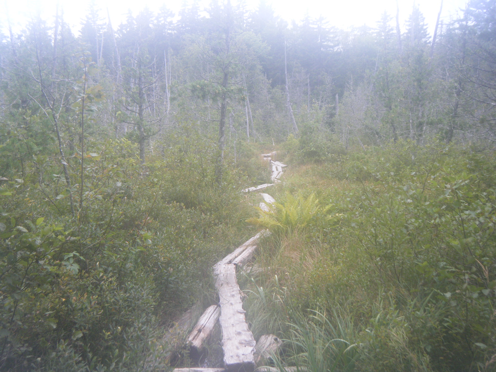
In the morning (Monday September 5) I returned to my tent site and wrung out as much water as possible from all of my gear, then packed everything up wet, and significantly heavier than usual. Jackrabbit hadn’t been able to sleep so he got up at 2:00am and was hiking by 4:00am. I left camp around 9:00am. I headed up Pleasant Pond Mountain, and on the way down I slipped on some rock lichen and banged up my left knee and ankle. My knee started bleeding and my ankle swelled up (that may have been from the wasp sting), but the pain faded after a couple minutes so I continued on. The blueberries on top of Pleasant Pond Mountain were huge and tasted better than most. Eventually the AT joined a gravel road for a short while and then cut left across an outlet of Moxie Pond. Due to the thunderstorms the water was way too high to ford, and Handstand was just giving up his fording attempt when I arrived. We noticed in the guidebook that the AT crosses under power lines shortly after crossing Moxie Pond, so we continued following the gravel road until it crossed the water over a bridge, then we took a gravel maintenance road to reach the power lines, which we followed (power-blazed) while bushwhacking to the AT. Once we’d made it past the ford we headed up to Bald Mountain Lean-to where we had lunch, then headed up Moxie Bald. As soon as we reached the top it started raining on us. Hard. We slogged down the mountain to Moxie Bald Lean-to, and the rain let up just about the time we reached the shelter. Handstand and I shared the shelter with a fellow thru-hiker named Mountain Dew. So Far stopped in for a bit, but he and Hollywood had their sights set on Monson that day so he moved on. Jackrabbit had left a note saying he was pushing on to the next shelter and hoped to see us there, but we were done. The rain picked up again later that evening, at which point we discovered that the roof of Moxie Bald Lean-to leaks. We scattered towels and slept at odd angles to stay dry. The guidebook indicated that we’d have to ford the Piscataquis River to reach the next shelter, and that the ford can be dangerous in high water, so we wondered whether Jackrabbit, Hollywood, and So Far made it past that river or not. We hoped the rain would stop completely so the rivers would be more easily crossed in the morning.
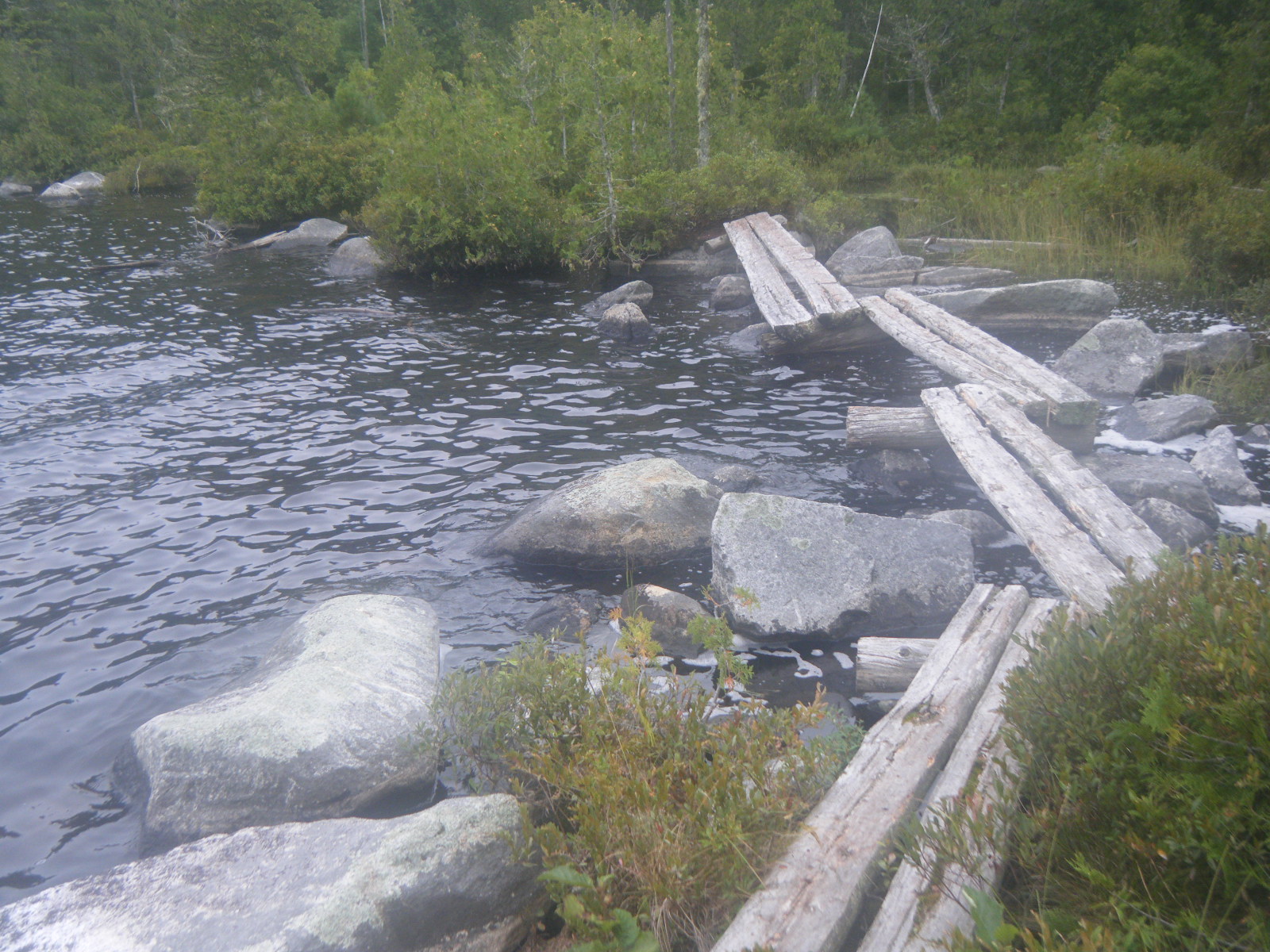
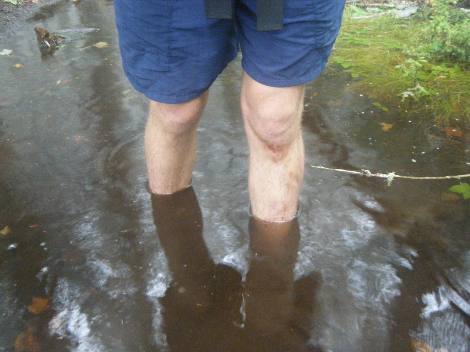
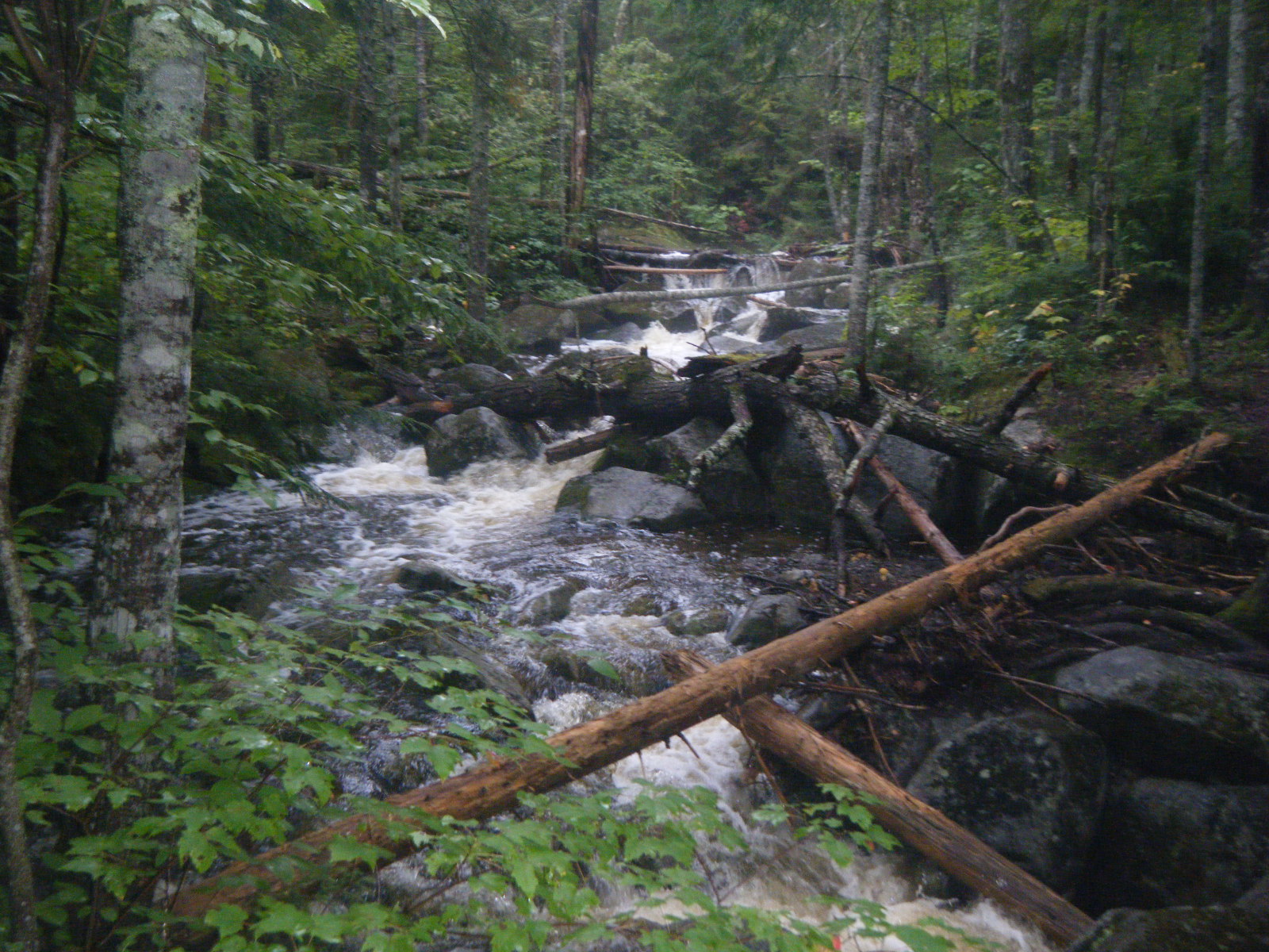
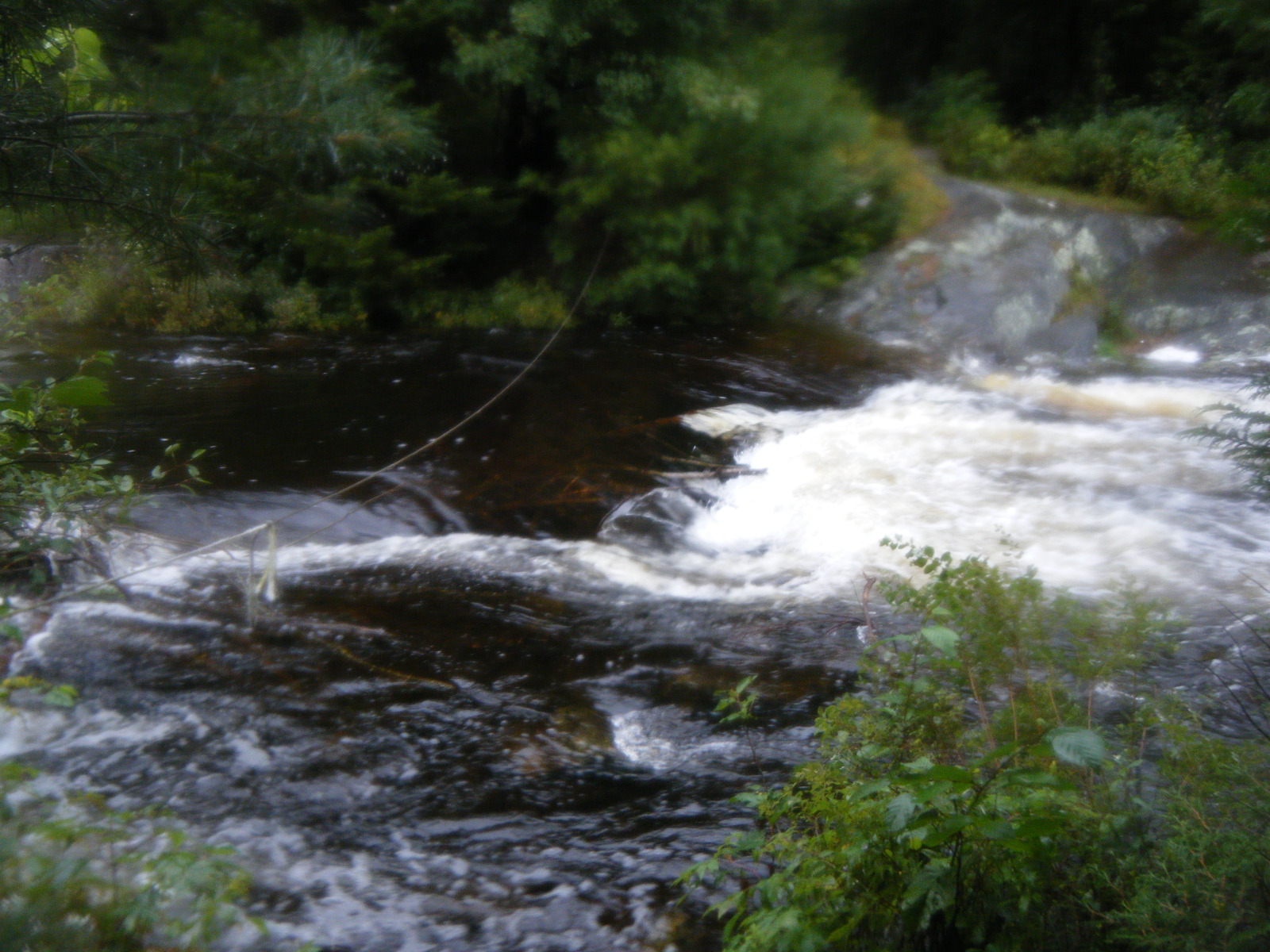
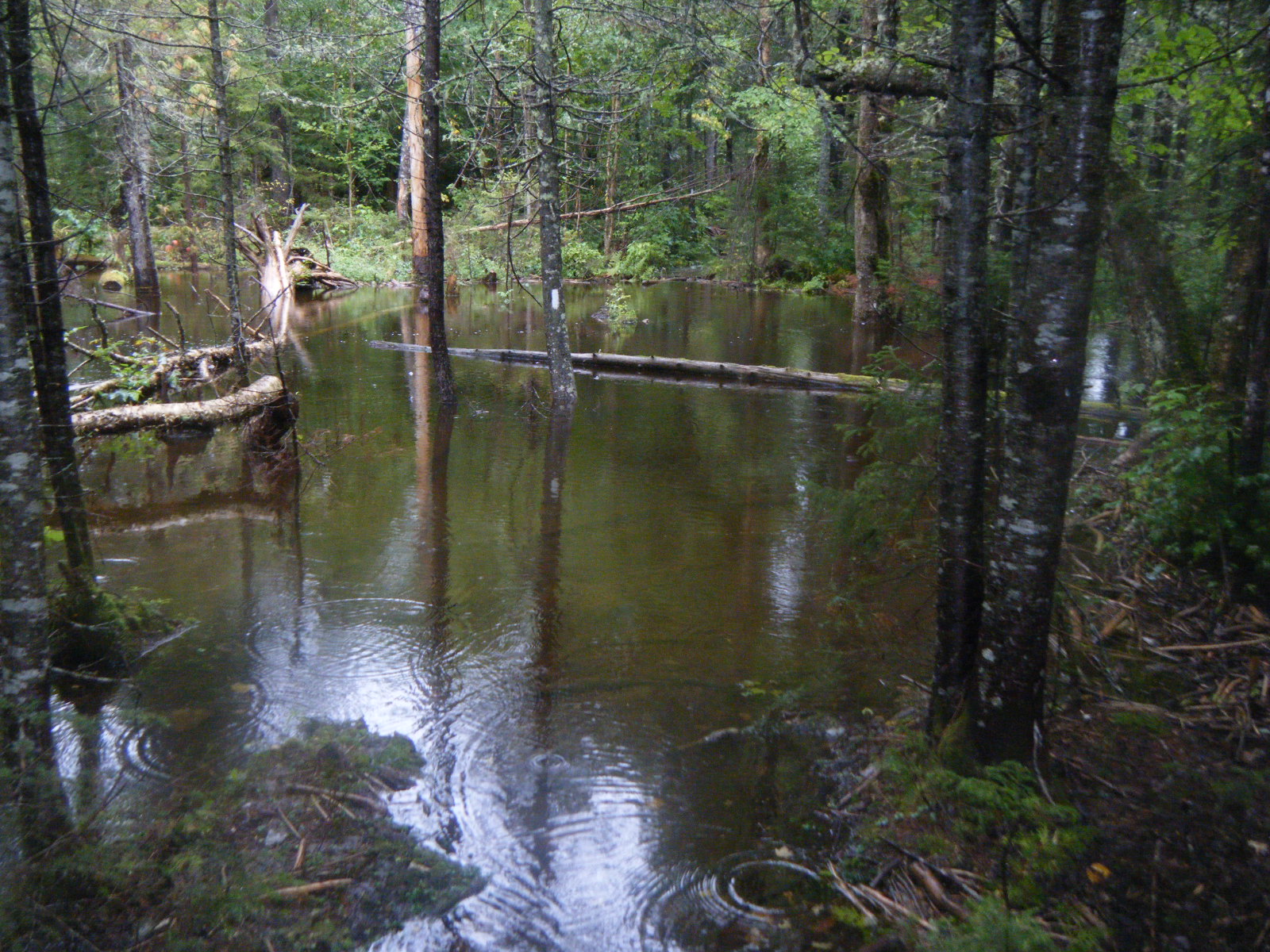
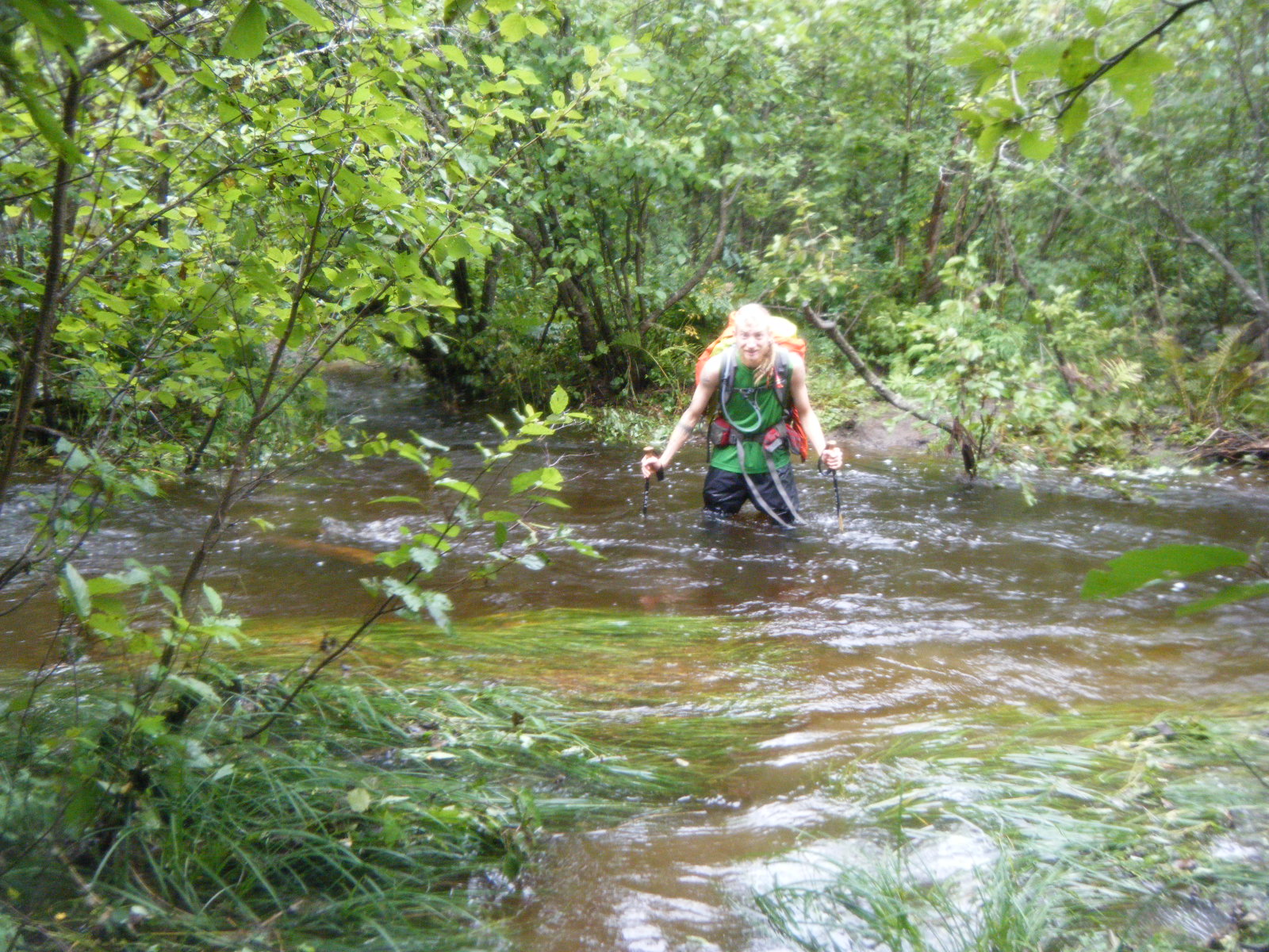
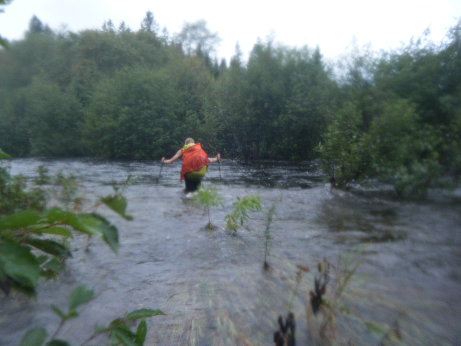
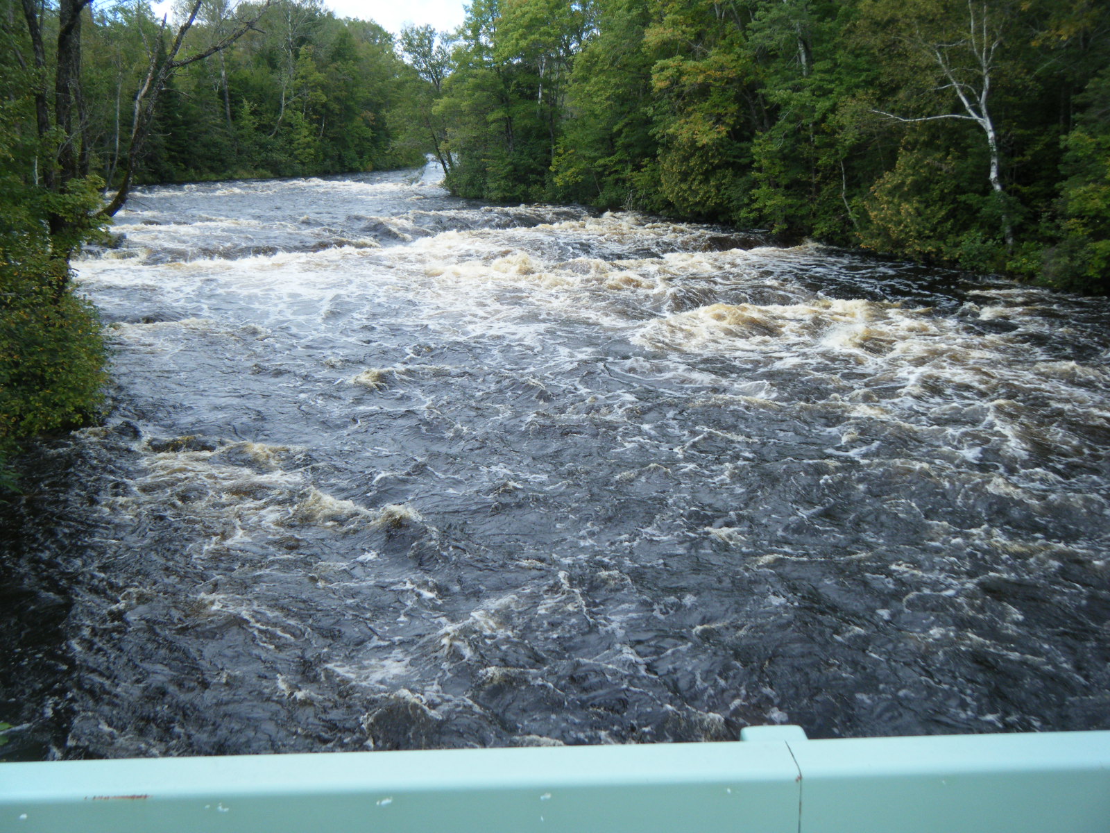
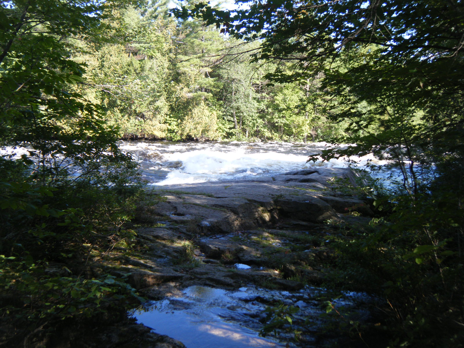
The rain didn’t stop ’till mid-morning (Tuesday September 6). We were worried we wouldn’t be able to cross the Piscataquis, but we packed up and put on our cold & wet clothes anyway. Well over half the trail was under water. We waded through water up to our shins where there should have been only dry dirt. Areas where there was usually a tiny stream had turned into knee-deep or thigh-deep fords. Bald Mountain Stream wasn’t marked as a ford at all in the guidebook, but to cross it I had to walk along a beaver dam, still knee-deep in water, and hold a rope while leaning into the current to cross. When we reached the Piscataquis we met So Far and a few other people who had camped there rather than ford the river. Upon further inspection I found it to be completely impassable. The river must have been at least three feet higher than usual, and 100 feet wider. I’m pretty sure it was at least shoulder-deep in the middle. We wandered around the edges for an hour and a half looking for a way to cross, but we couldn’t find anything less than life-threatening. About the time we’d given up, we heard a whoop of joy and walked back to the river to find a SoBo climbing out of the river, dripping from head to toe. He told us he’d swam across. A thru-hiker named Chopstick started working his way sideways into the current, bracing himself with a stick. I’m not certain he intended to cross or if he was just feeling it out, but when he got about chest-deep the water pushed him over and he swam for his life to an island in the center. He made it, but just barely – he grabbed some underwater foliage and pulled himself to the island after being pushed just barely downstream of said island. I’m not sure how he managed the second section, but after a few minutes we saw him on the far bank. He must have walked upstream on the island and then just swam like mad. I’m sure all of his gear was completely soaked by the end. After the SoBo and Chopstick had made it across, So Far decided to give it a shot but he had us tie some paracord to him first. He started swimming, but was pushed so far downstream that the paracord was used up before he’d reached the island and we had to haul him back in. Handstand, Mountain Dew and myself decided to backtrack along the AT and follow a jeep road South 1/2 mile to a gravel road which we followed East for 6 miles into Blanchard, then took the highway from Blanchard to Monson. We met up with Jackrabbit and Larb in town and spent the night talking to SoBos and studying maps of the 100-mile wilderness to find a way past the 7 stream fordings. It didn’t look very promising.
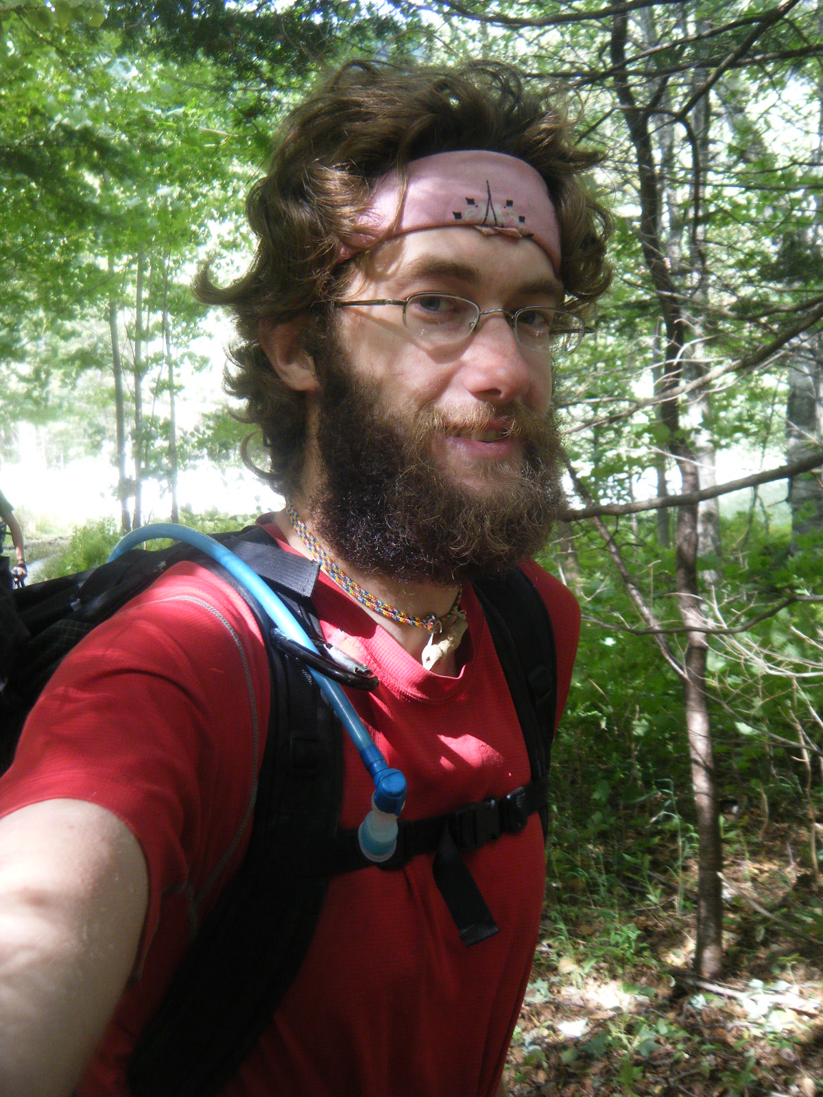
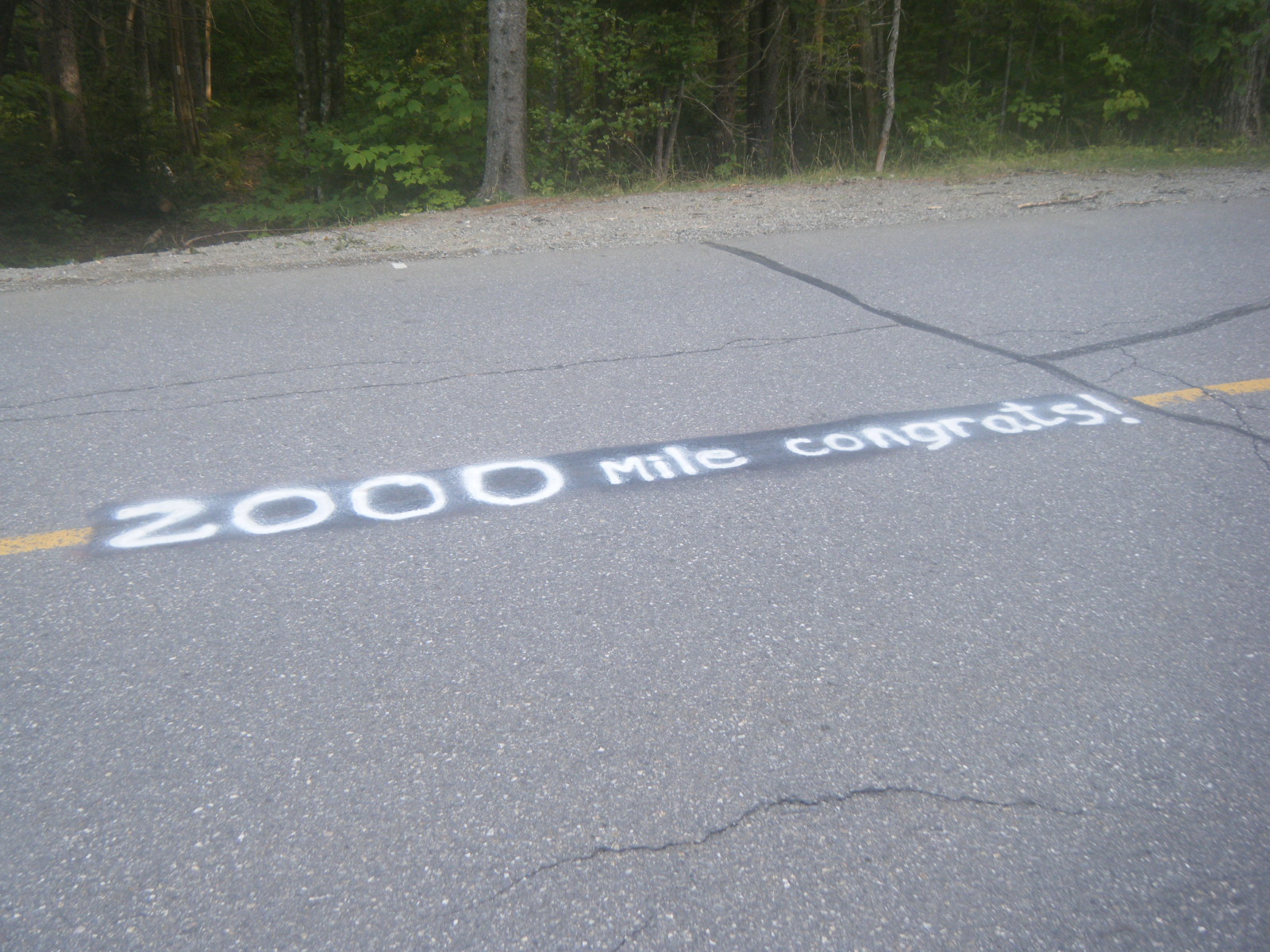
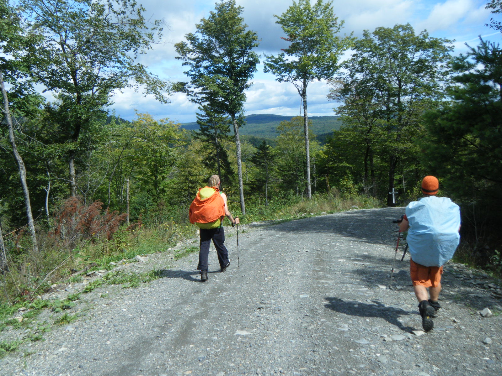
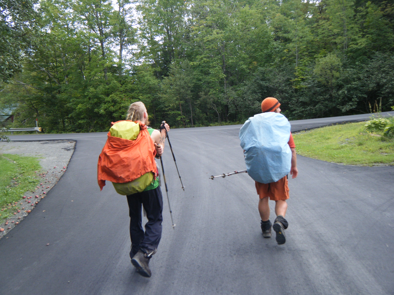
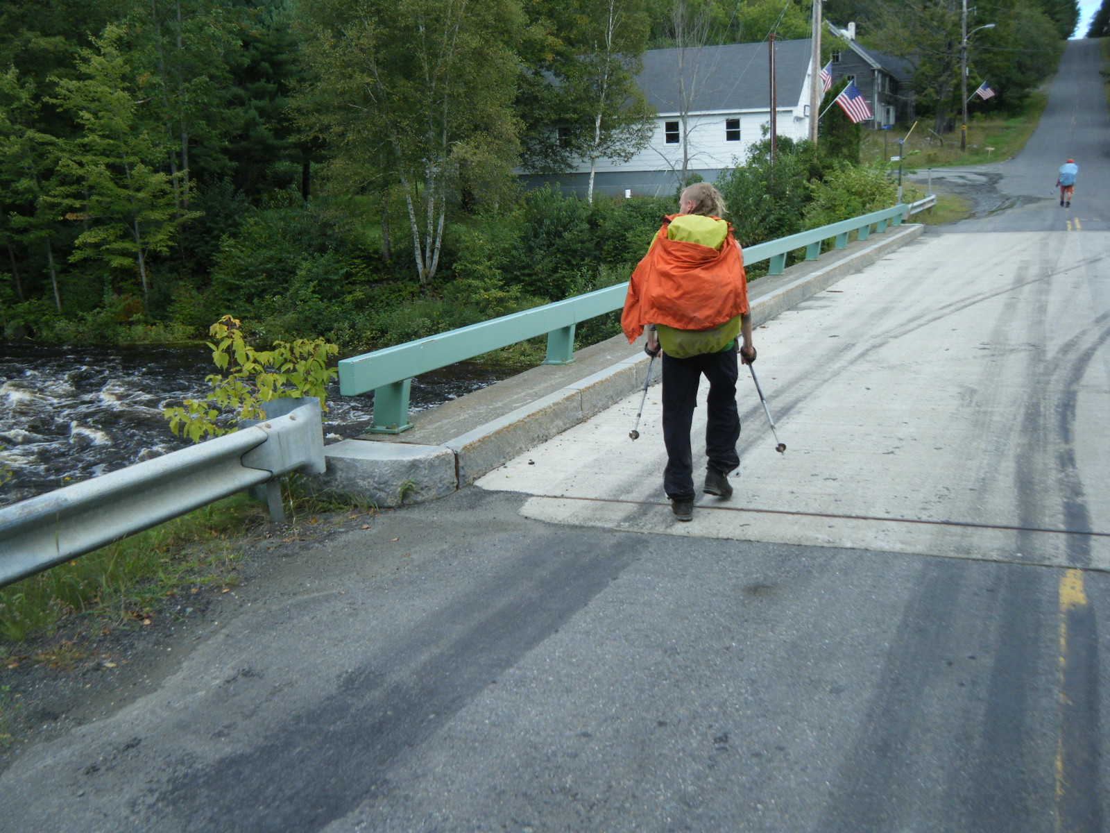
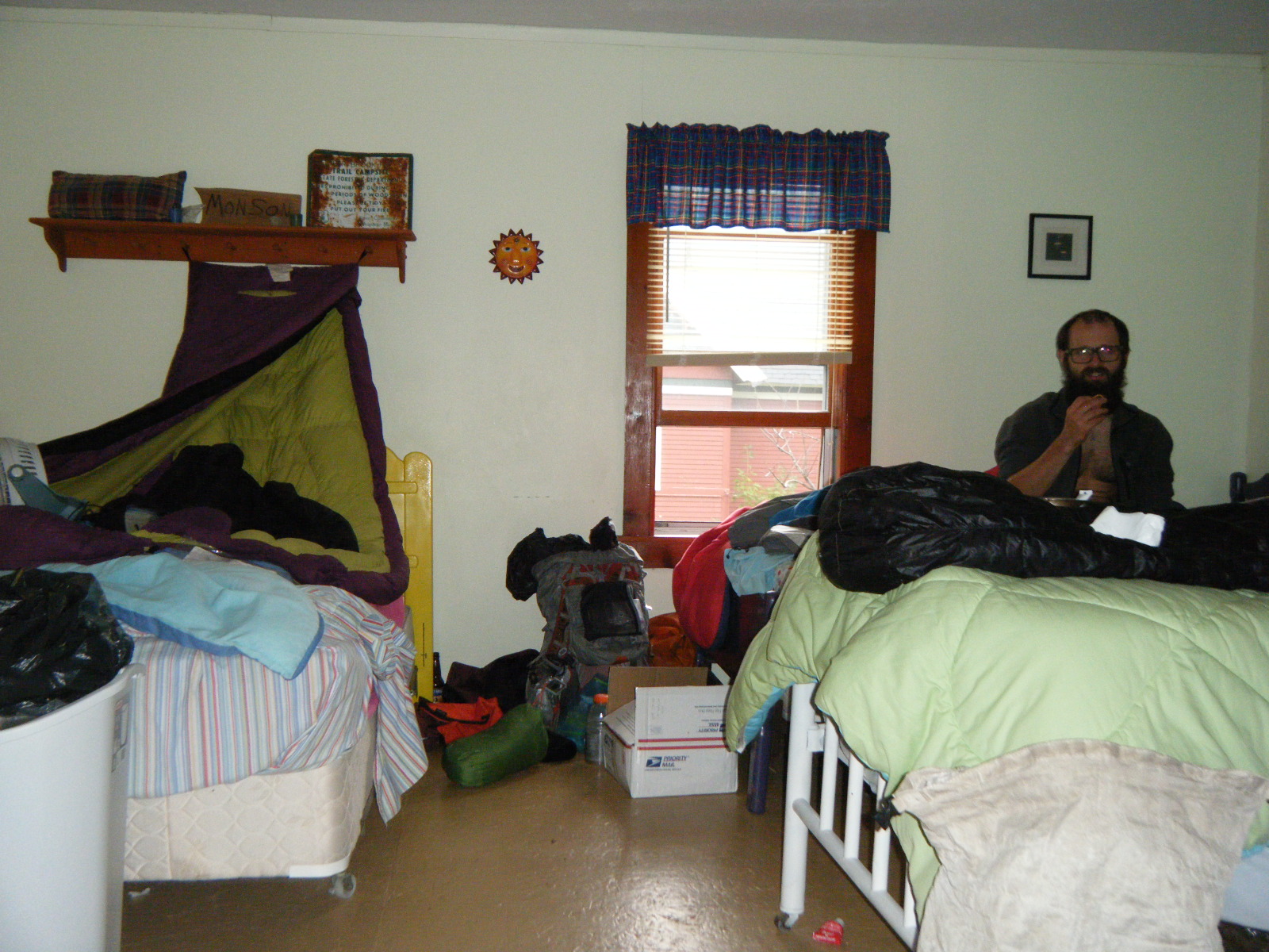
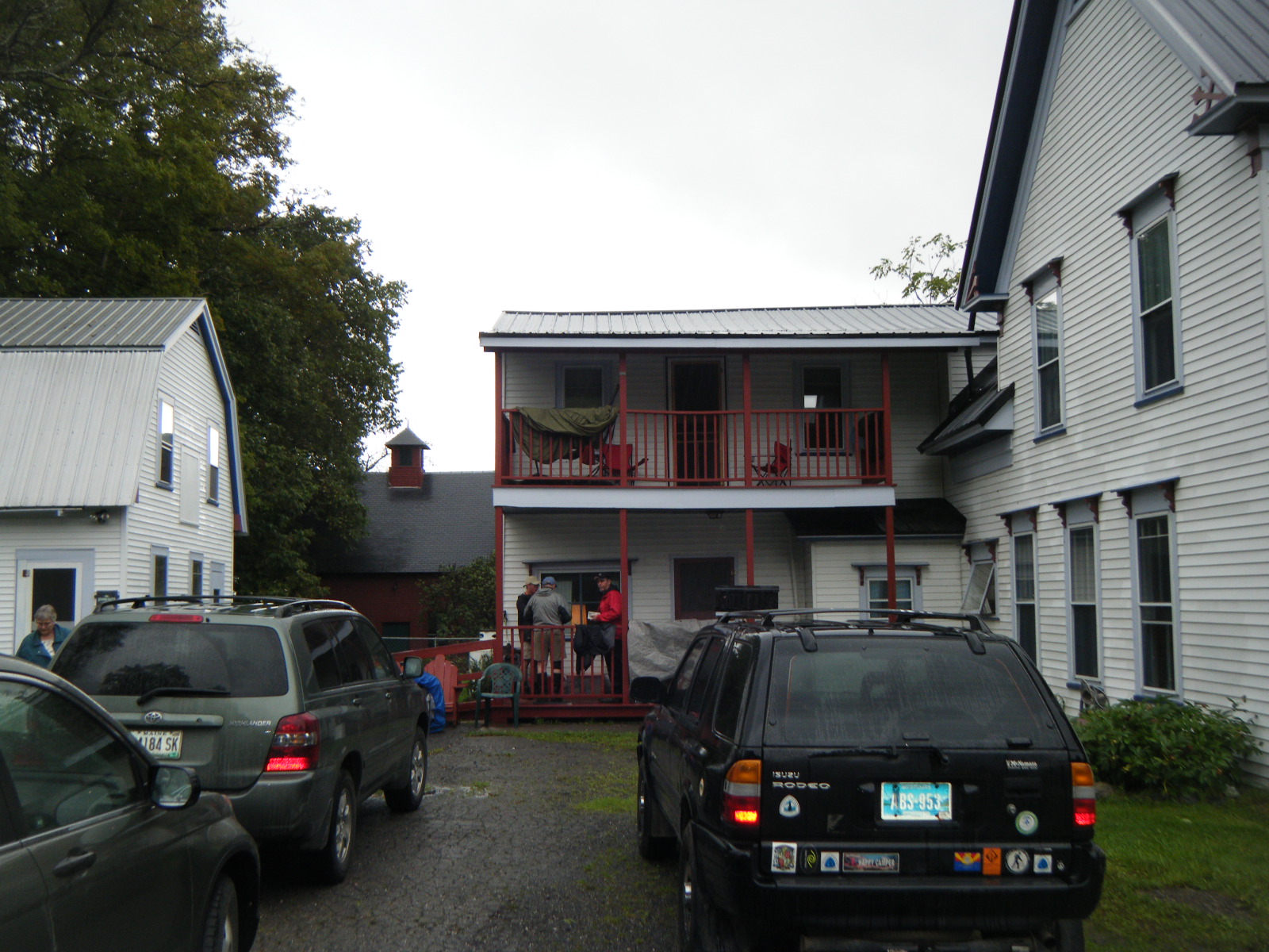
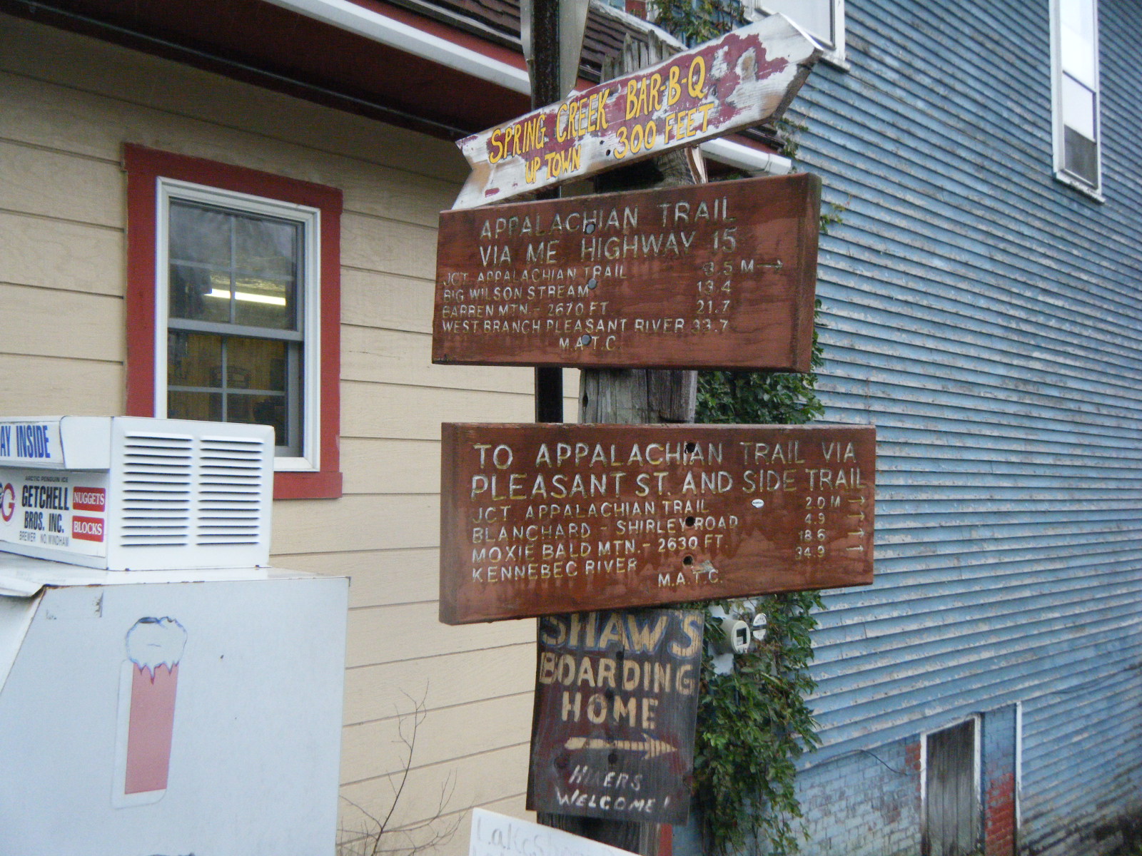
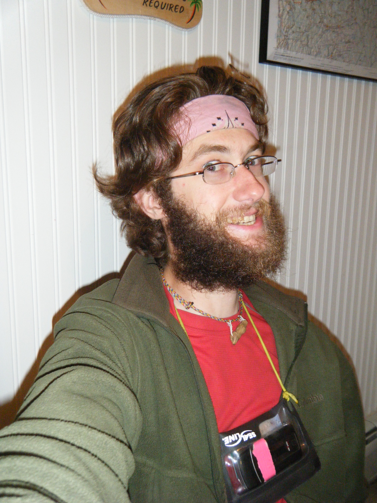
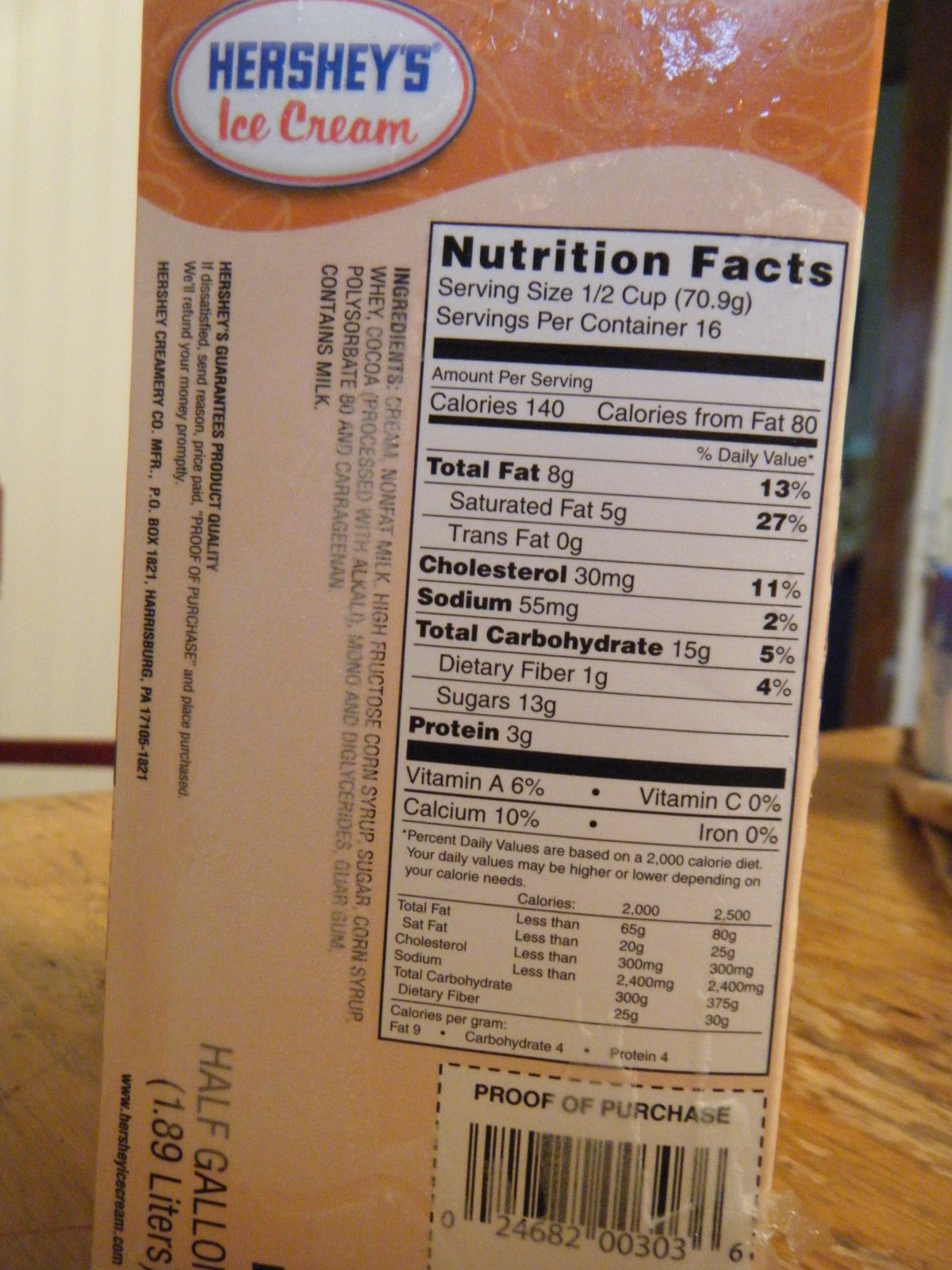
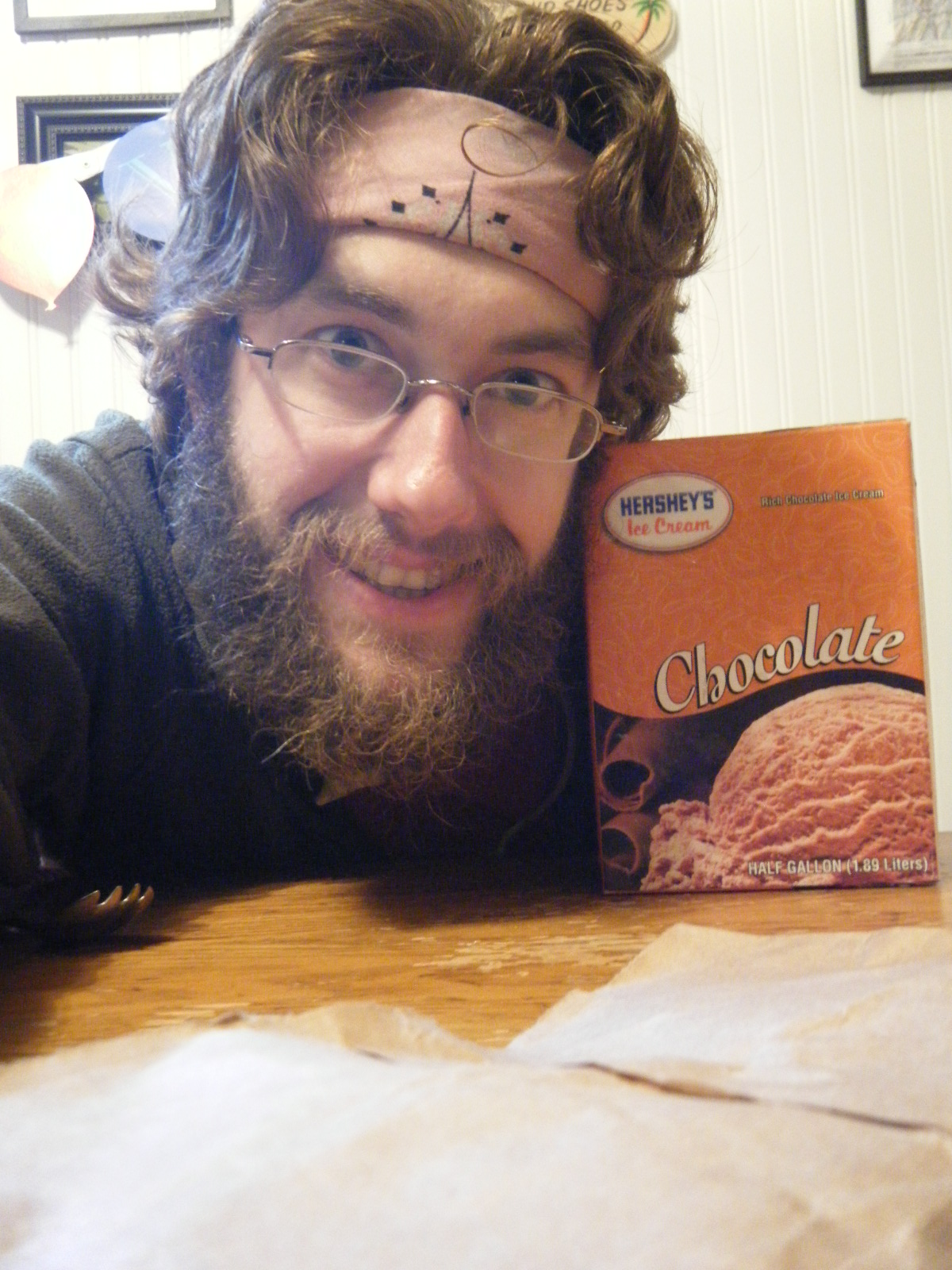
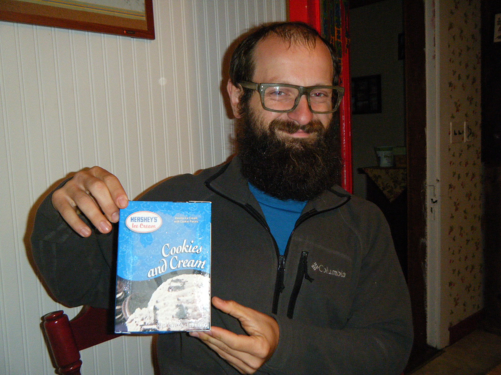
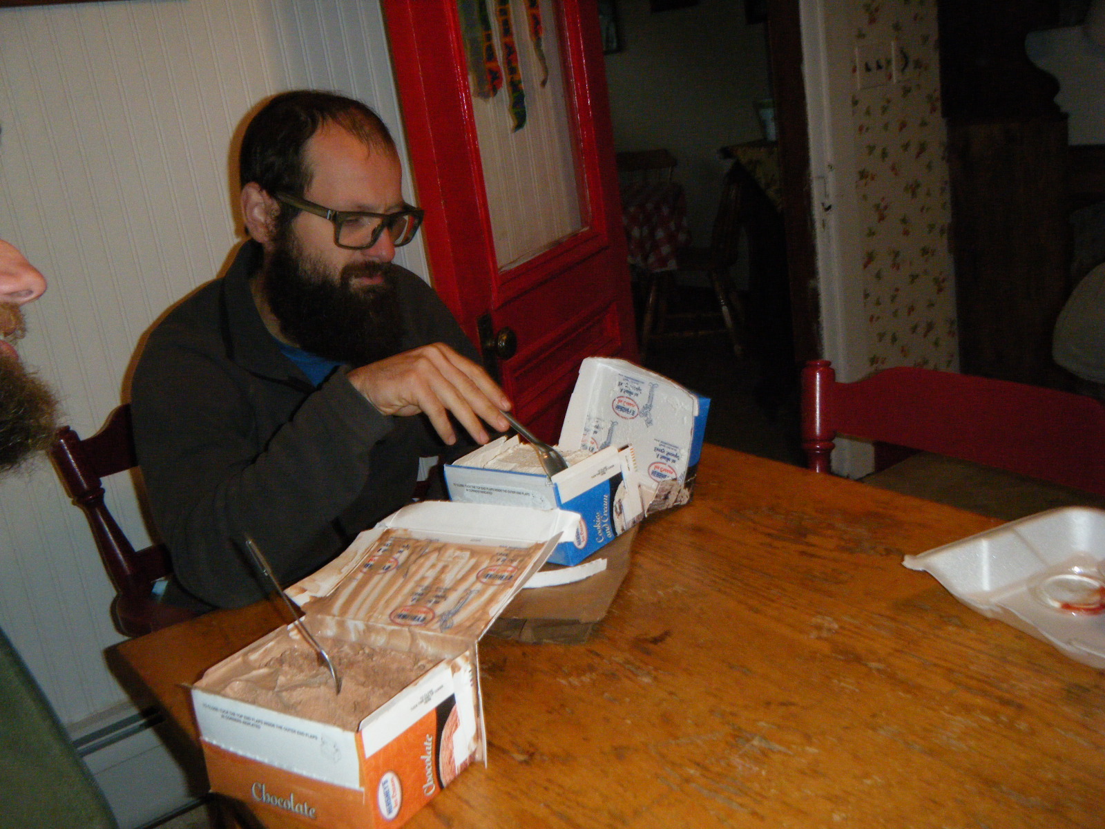
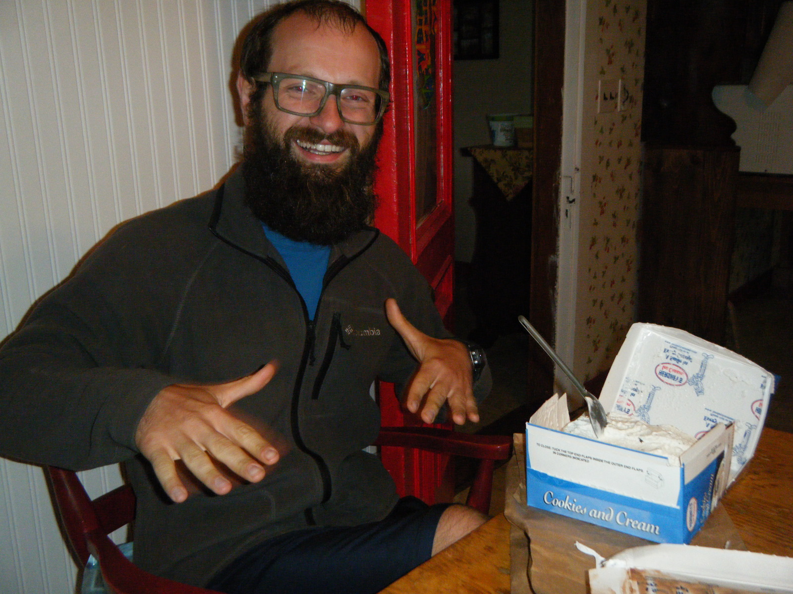
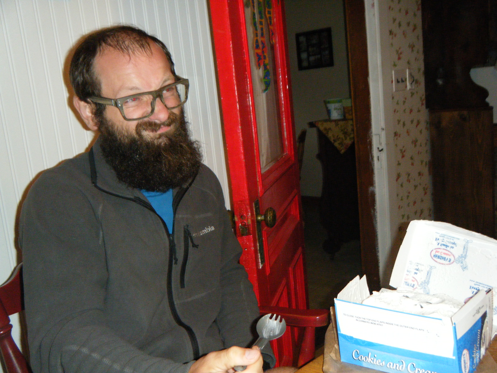
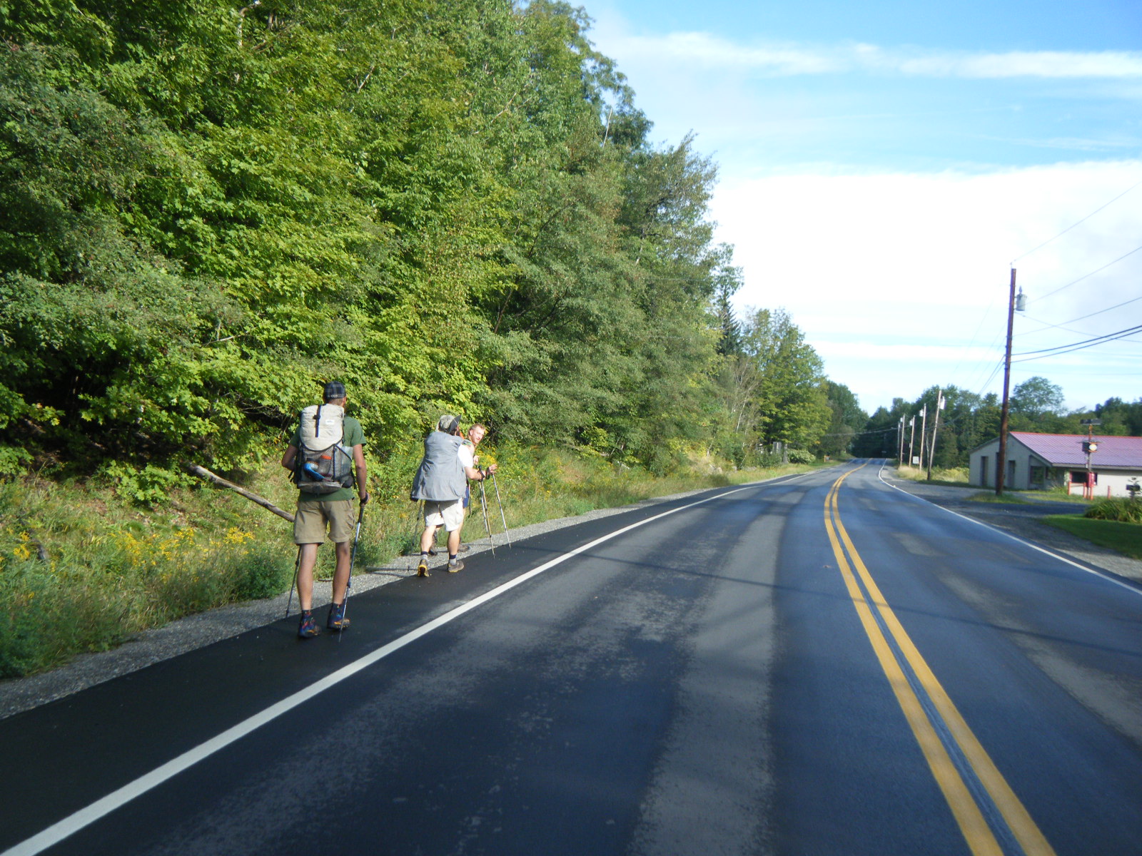
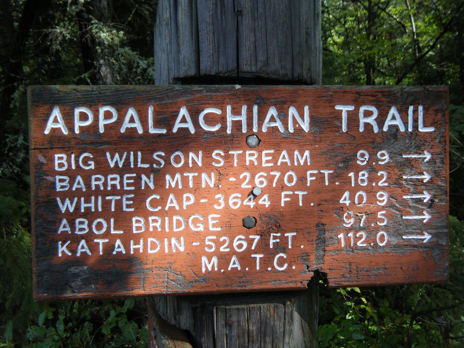
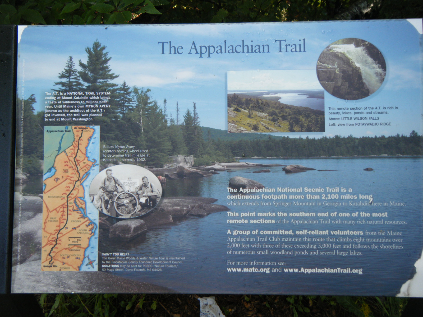
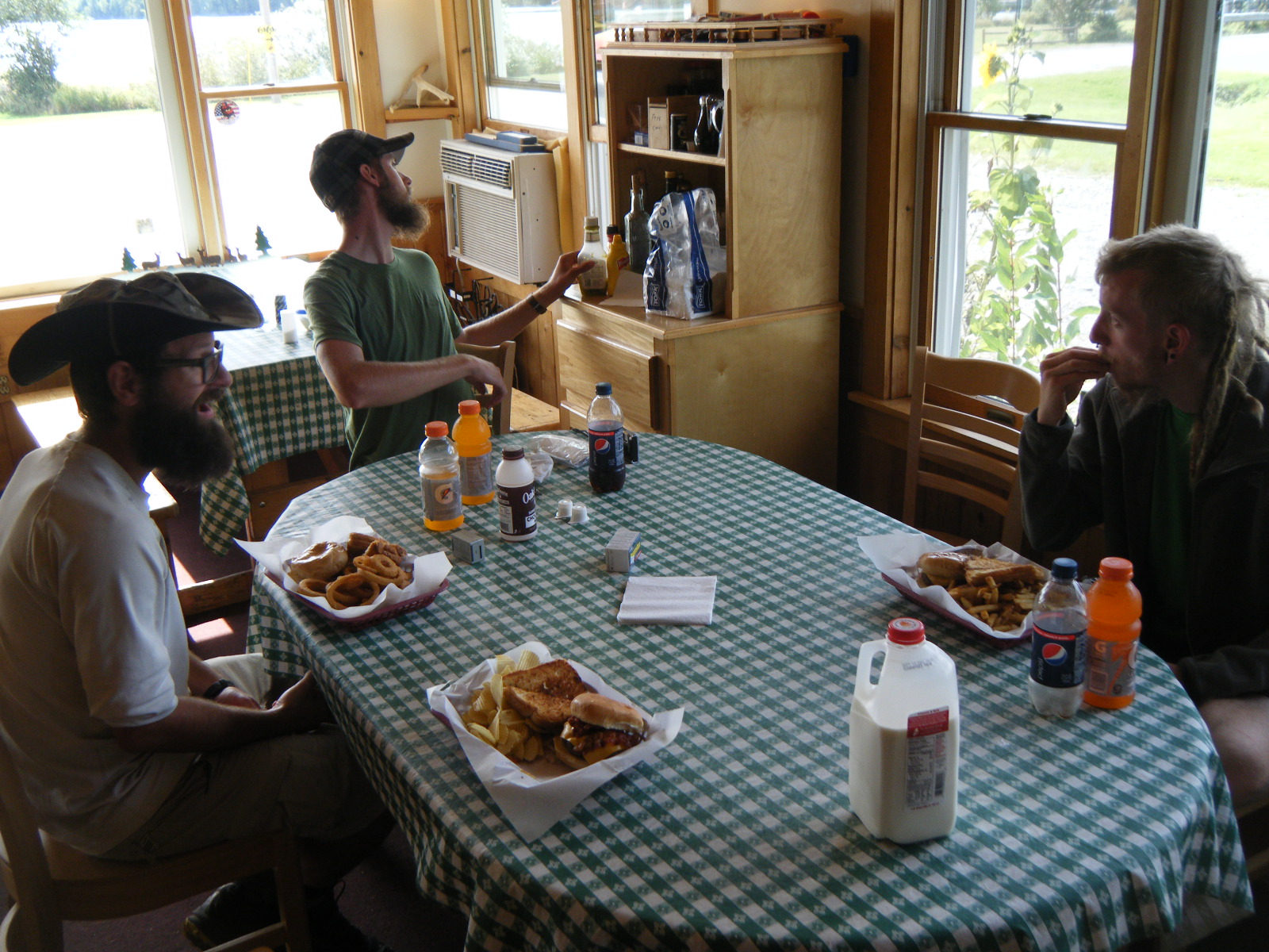
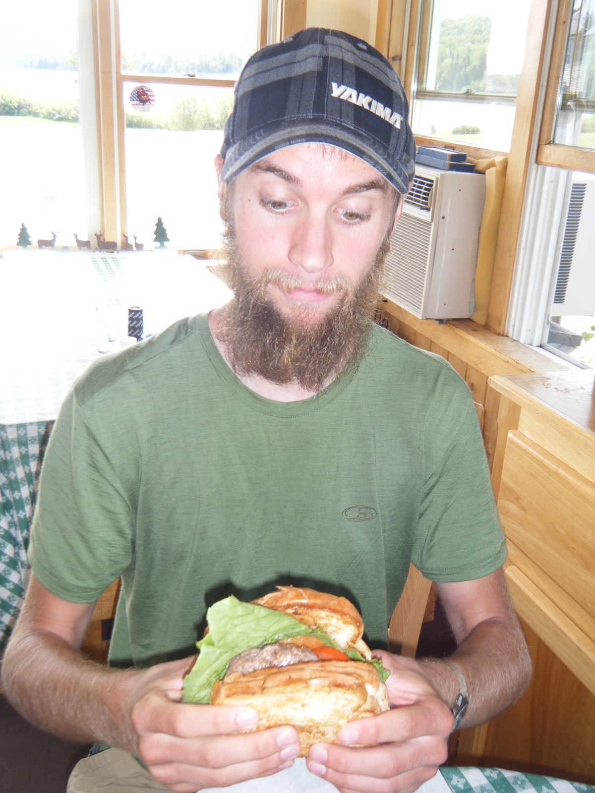
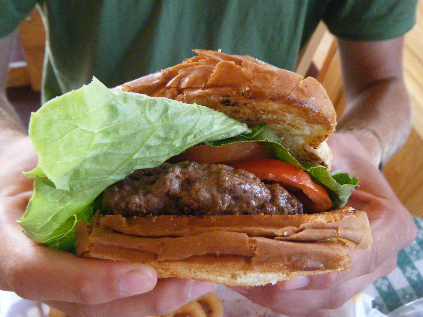
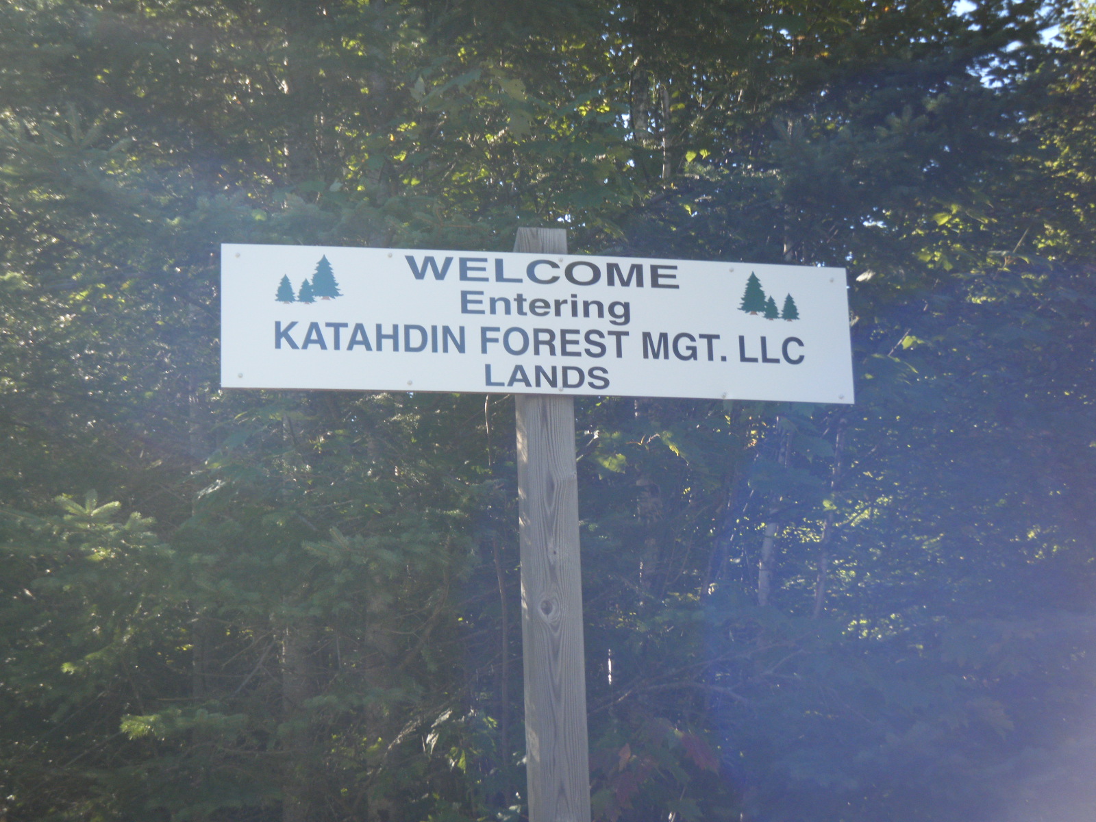
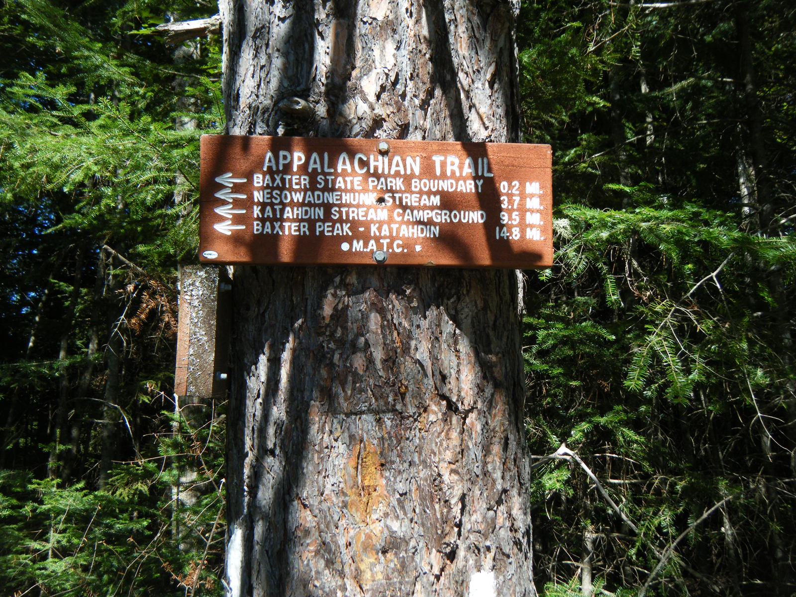
We zero’d on Wednesday (September 7). Larb had always been on a deadline because he had a flight out of Boston on September 14, but he had decided to hike with us until Monson, then we’d zero and just spend a day with him, then he’d hitch to Katahdin and we’d keep hiking through the 100-mile wilderness. We debated how to reach Katahdin for awhile longer that day. Some people were talking about following logging roads past the first 15 miles of the 100-mile and thereby skipping the first three fords. Others were talking about skipping 80 miles of the 100-mile wilderness and jumping on at Jo Mary Road, which bypassed all but one of the fords. Hollywood headed straight into the 100-mile the previous day – he’s crazy. My group decided to road-walk around the entire 100-mile wilderness, from Monson to Abol Bridge. That route gave us 66 miles of road-walking and cut off 100 miles of AT. We weren’t happy about skipping the 100-mile wilderness, but with the water levels as high as they were, it just seemed like a bad idea to follow the AT. We decided we could do 25 miles a day, which means it would take 3 days to get 66 miles back to the AT and 10 miles along the AT to the base of Katahdin in Baxter State Park. As such, Larb decided to come with us instead of hitching. It was an amazing relief to have a solid plan for reaching Katahdin, and knowing we wouldn’t have to swim across any rivers or be stranded between fords. During our zero in Monson, the entire town lost all running water. No one seemed to know what caused the problem, and everyone was freaking out – except the hikers. There’s a lake in the center of Monson, and it was raining all day, so the hikers just gathered water from the ditch and carried it inside to flush toilets. For drinking water, we took water from the lake and used our regular methods of water treatment. We also used this opportunity to give Larb a chance at the Half-Gallon Challenge. People usually tackle the half-gallon in Pine Grove Furnace State Park in Pennsylvania, which is pretty close to the midpoint of the AT. Larb started at Harper’s Ferry, WV so he didn’t attack the half-gallon in PA, but by Monson, ME he had completed about half the trail. As such, we decided he should give it a shot in Monson. I decided to do it with him, both for moral support and because I wasn’t satisfied with my time (1:17) the first time. We went to the general store and Larb got cookies’n’cream, and I got regular chocolate. We stuck them in the fridge for a couple hours because they were frozen solid when we bought them, then we dug in. Larb’s performance was pretty sad – I don’t think he ate even a pint. I kept at it until the entire half-gallon was gone, and despite almost giving myself hypothermia, I finished in 0:29. I didn’t set any records (the best is like, 8 minutes) but I cut my personal best by almost two thirds. Handstand and I had stayed at Lakeshore House during our first night in Monson because Shaw’s was full, but for our second night we joined Larb and Jackrabbit in Shaw’s.
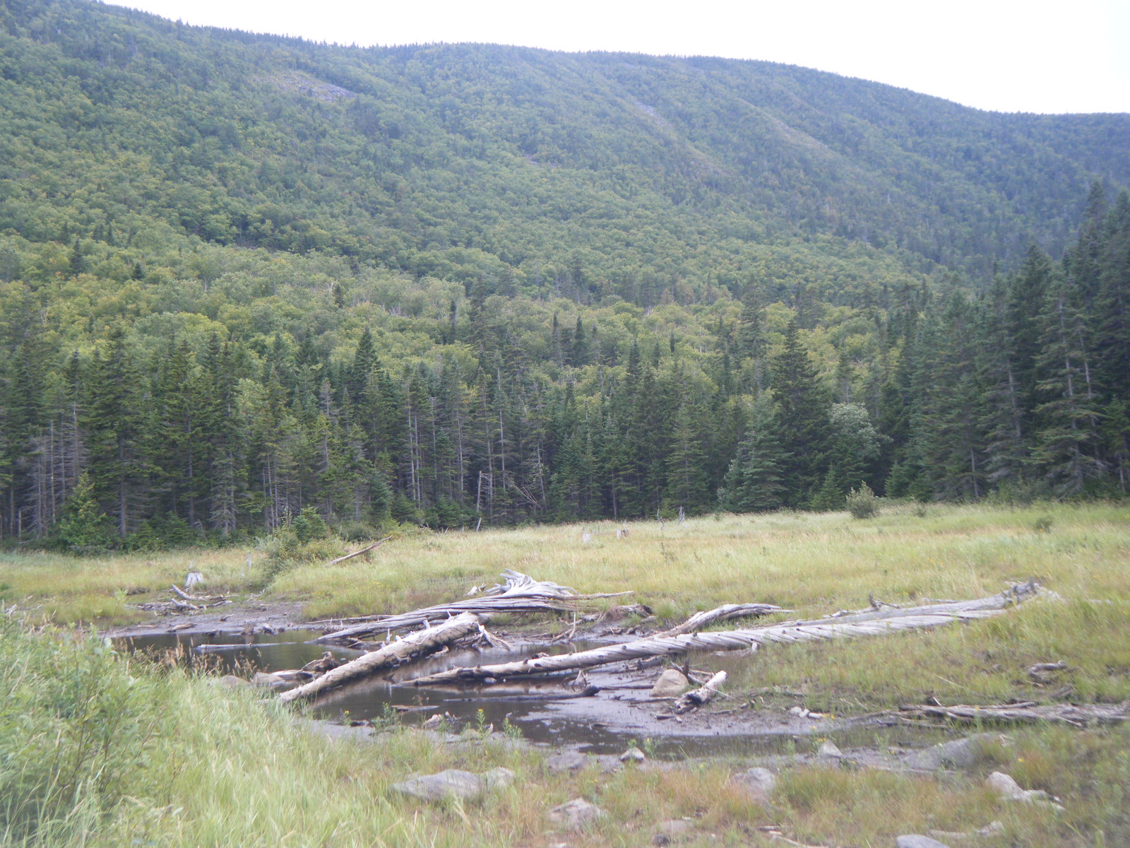
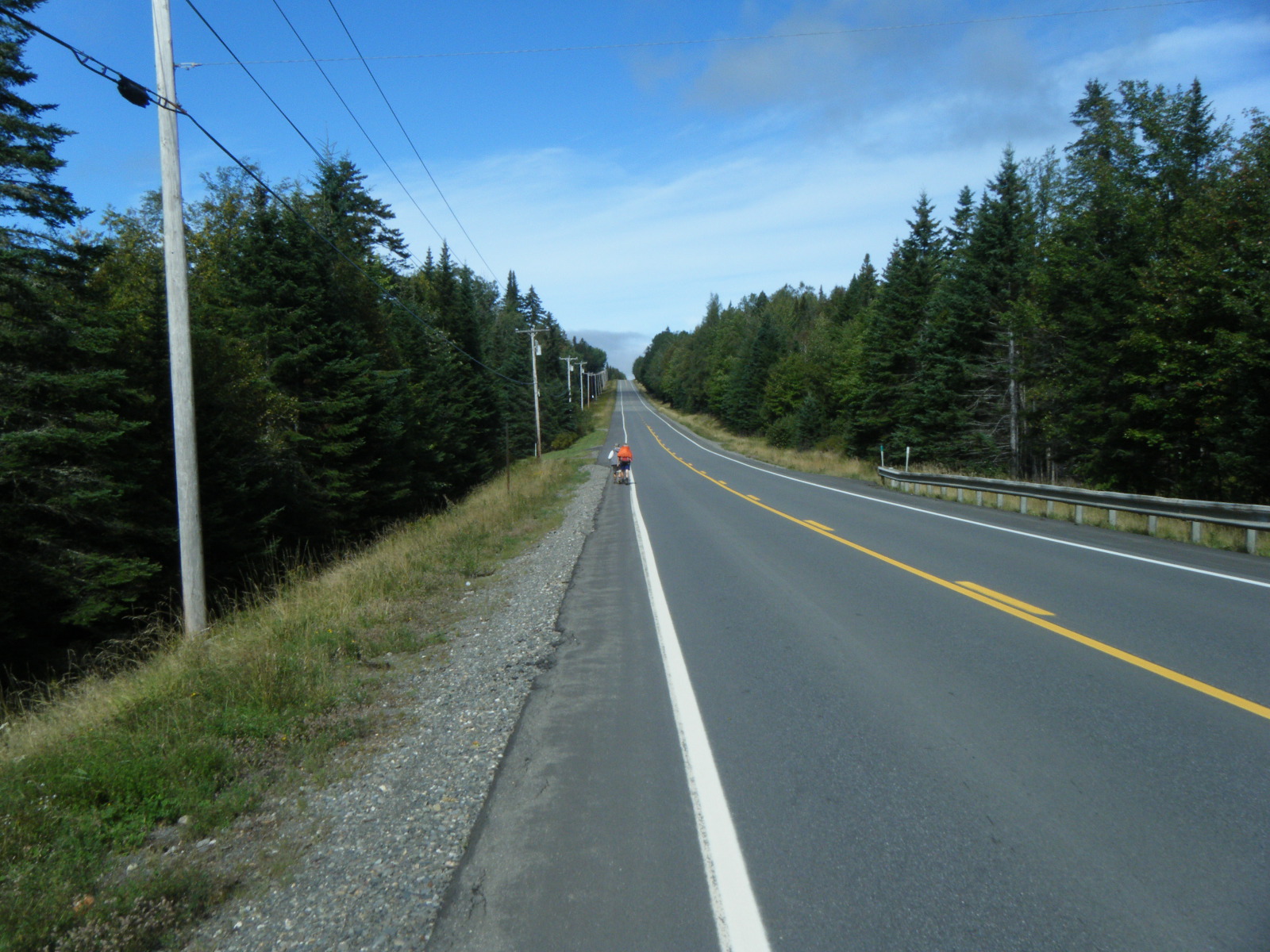
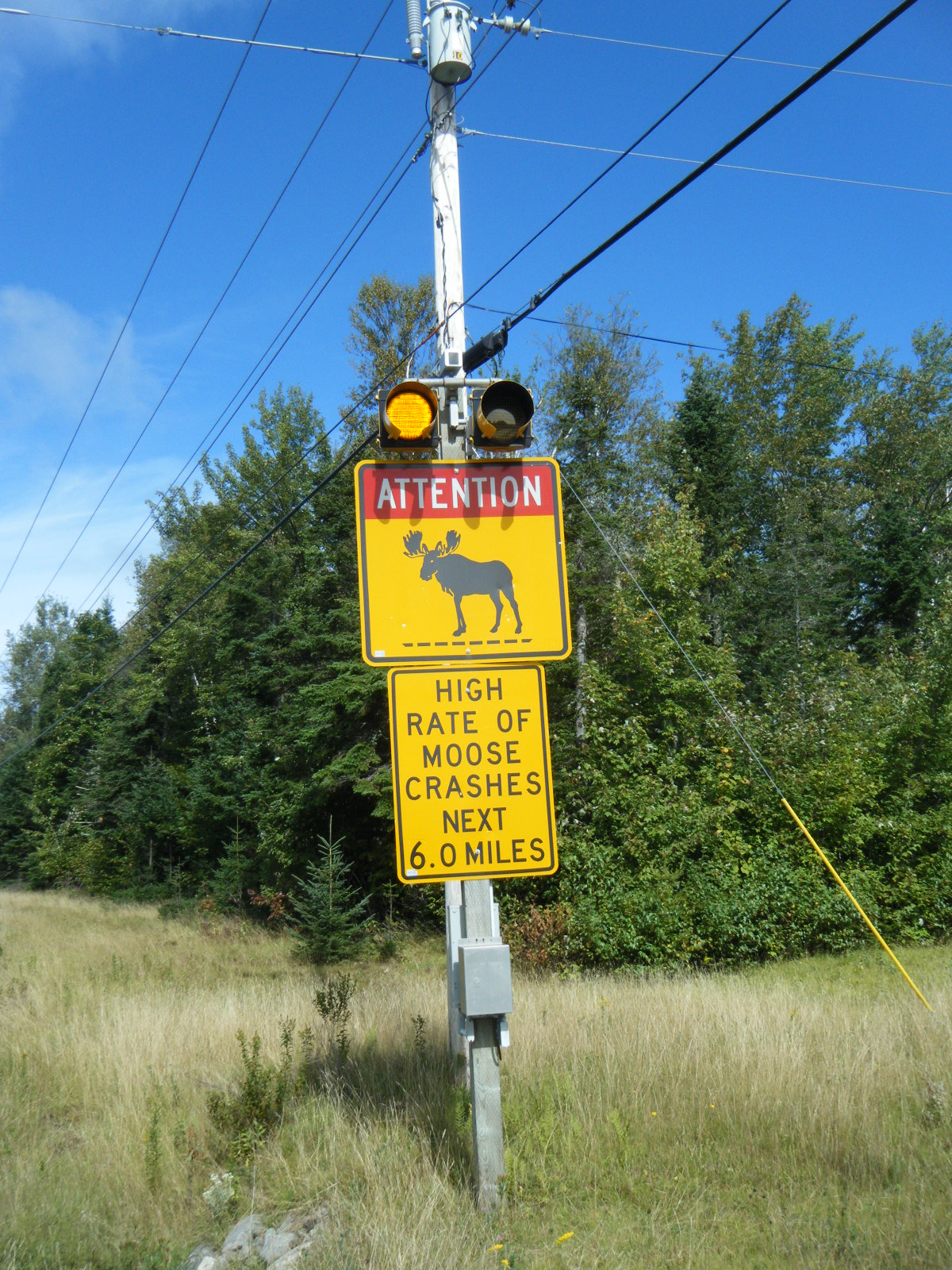
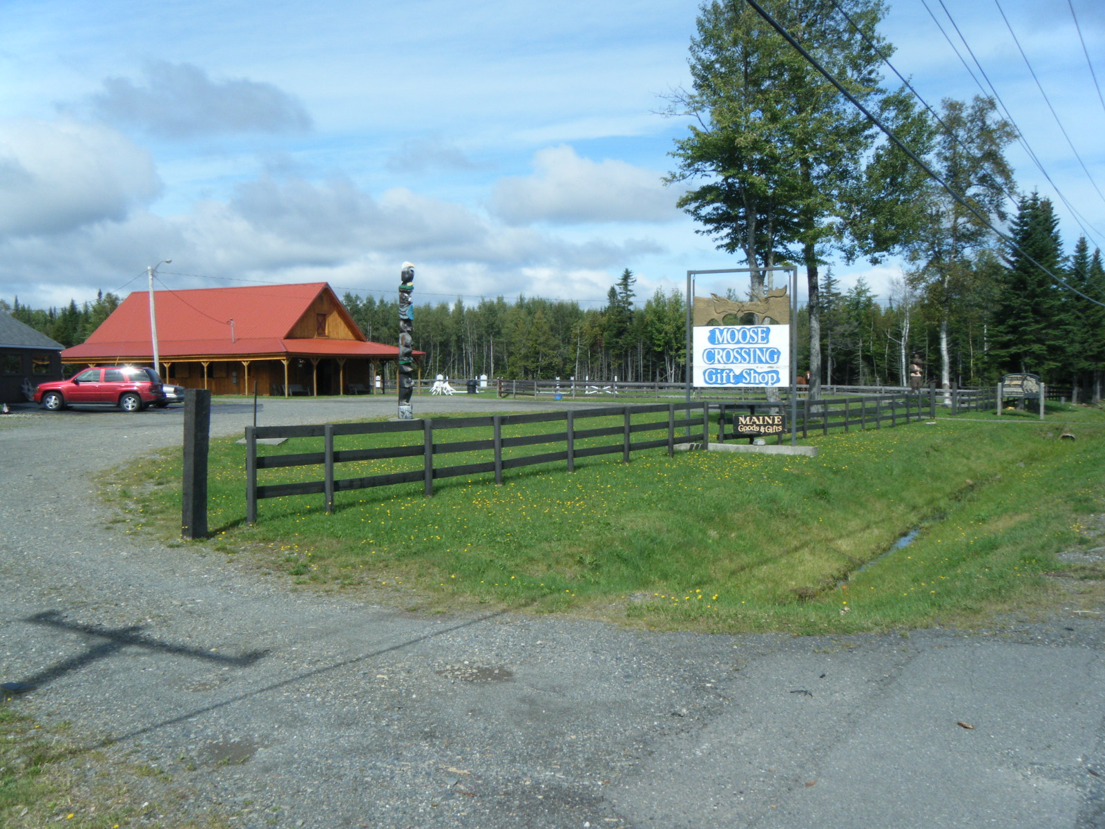
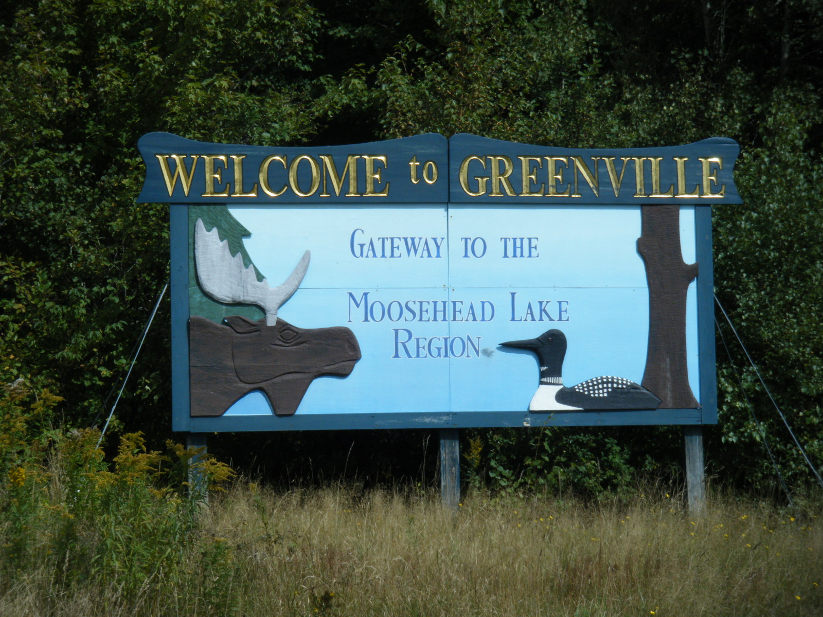
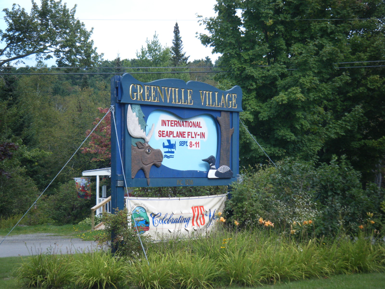
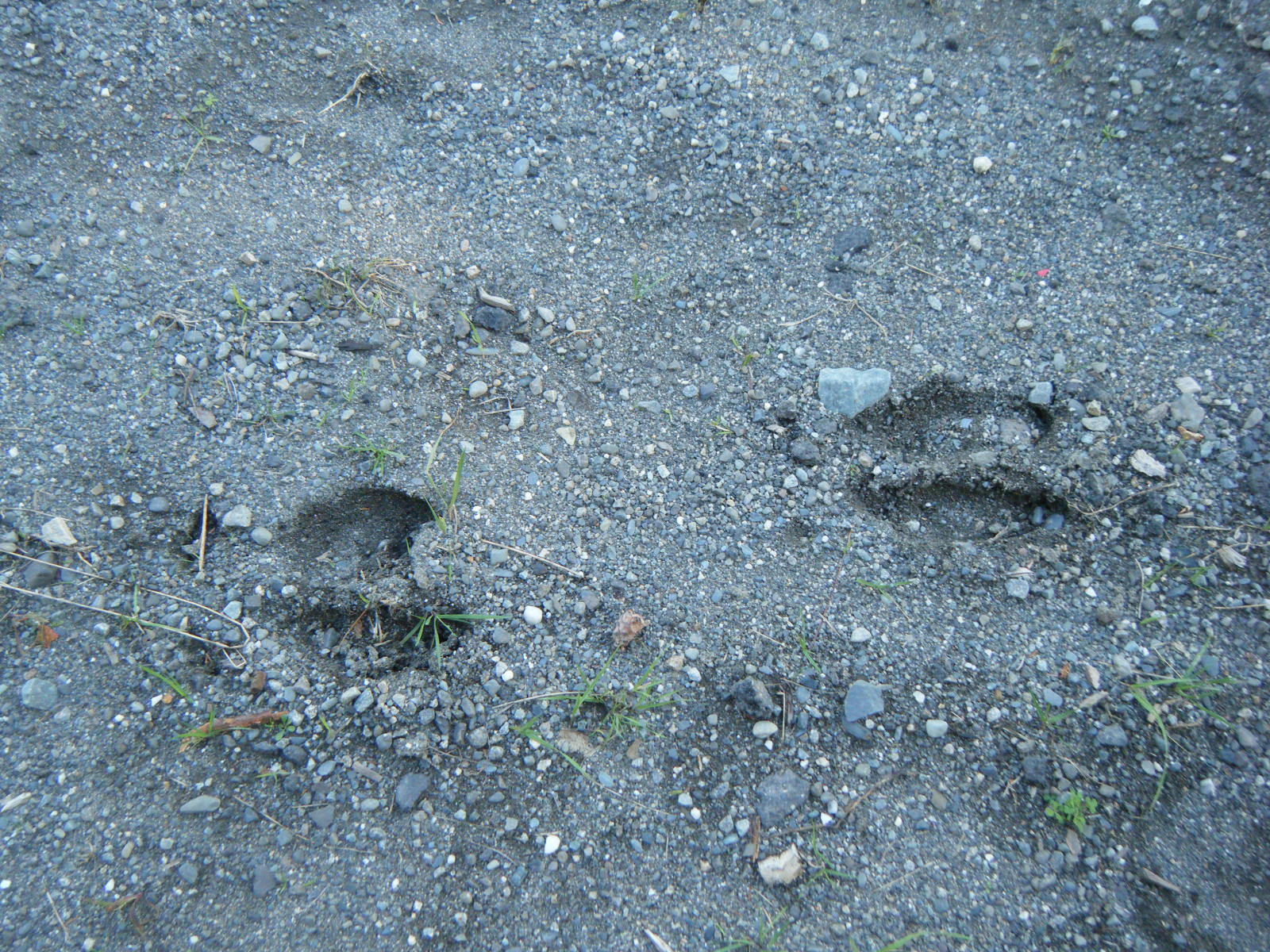
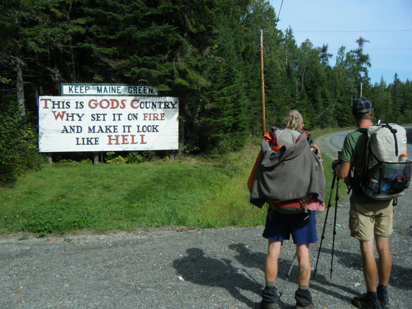
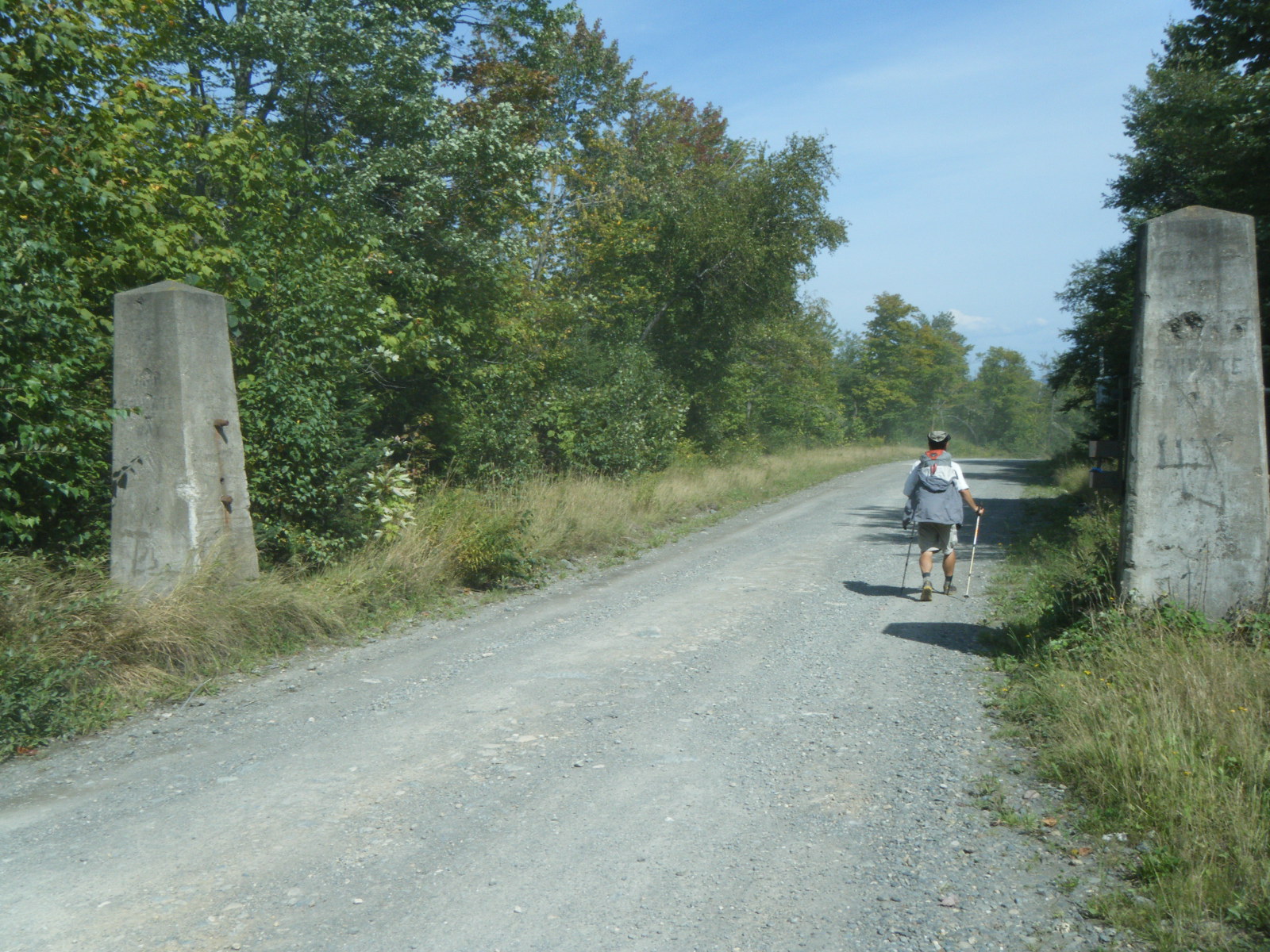
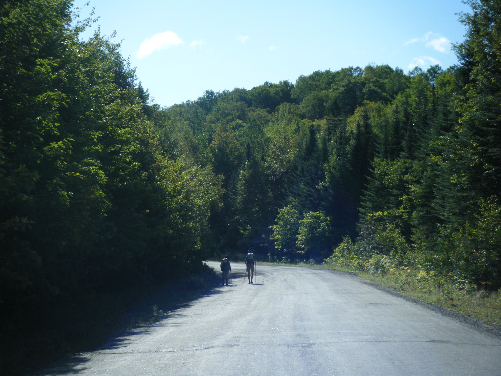
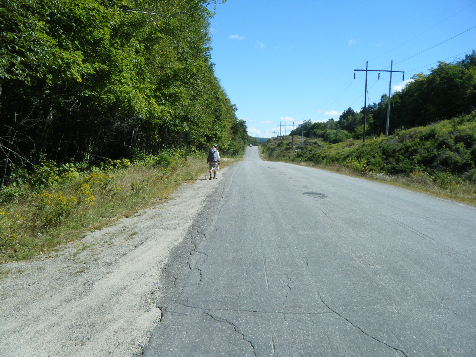
We ate breakfast at Shaw’s Thursday morning (September 8). The breakfast there is great – pancakes, sausage, bacon, eggs, and breakfast potatos. The eggs are cooked to order, and everything is AYCE. We hiked out along Main Street and headed Northwest out of town. We passed the AT after four miles and continued along the road to Greenville. On the way we noticed a lot of moose tracks in the gravel beside the road. We stopped for lunch at the Greenville visitor’s center. I took advantage of the nice weather to dry out my tent, as I hadn’t had a chance since a river ran through it at Pleasant Pond Lean-to (which turned out to be not very pleasant at all, honestly). Jackrabbit went inside to ask if they sold postcards, and it turned out they don’t sell anything, but by an odd stroke of luck someone had left a postcard there earlier, so they gave it to him. In Greenville proper we learned from some locals that there was to be a seaplane fly-over event during the weekend. Unfortunately we couldn’t stay to see the thousands of seaplanes buzzing the town, but we did see a couple as we walked through. We continued onward to Lily Bay State Park, then just a bit further to Mud Pond. The pond worked as a water source (even though it was very, very brown) and there was an old, overgrown roadbed across the street from the pond, so that’s where we camped. We made about 25 miles, but we all agreed that road-walking hurts a lot more than we’d expected. We were all already starting to get blisters, and our knees and ankles were screaming.
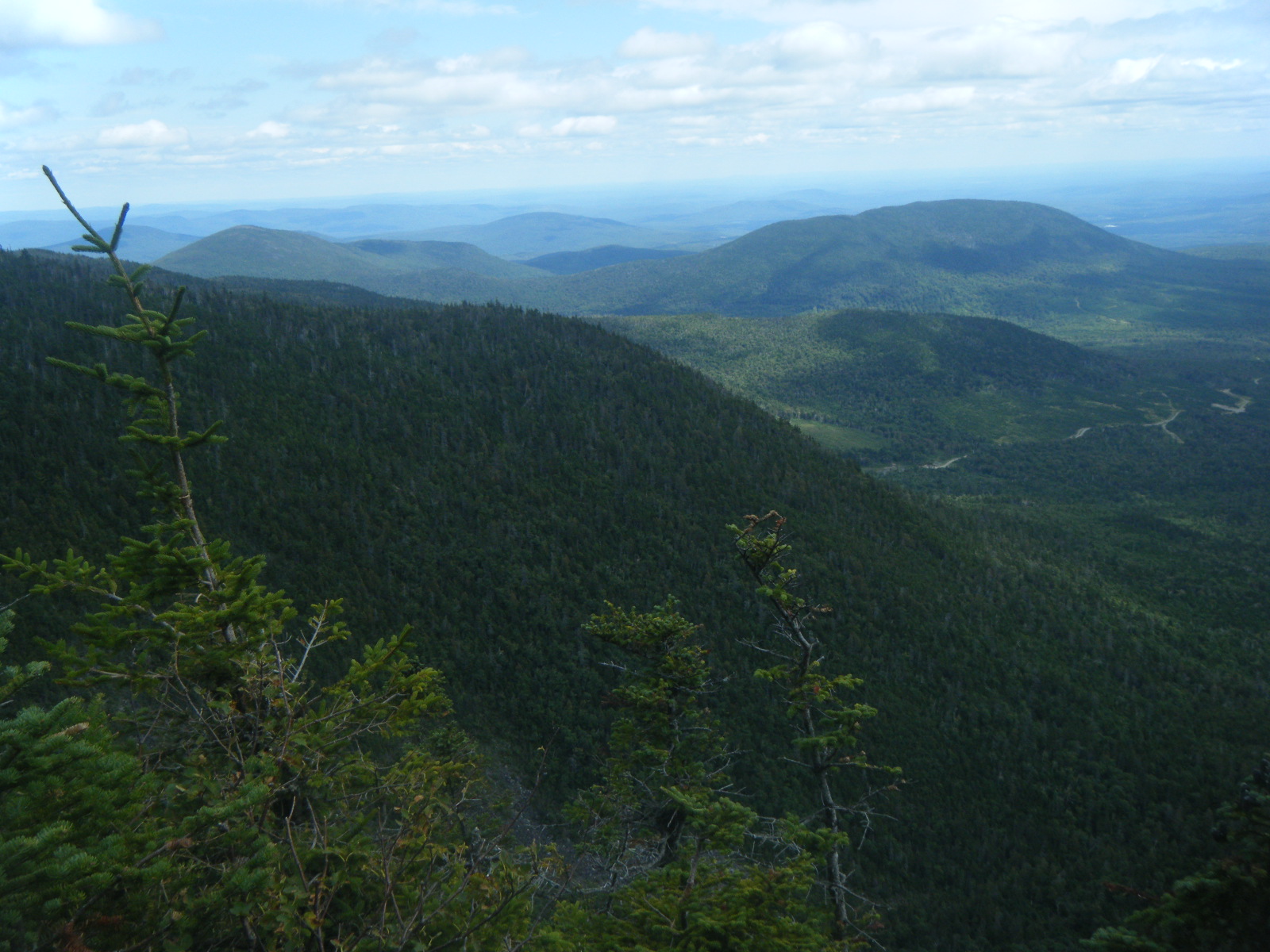
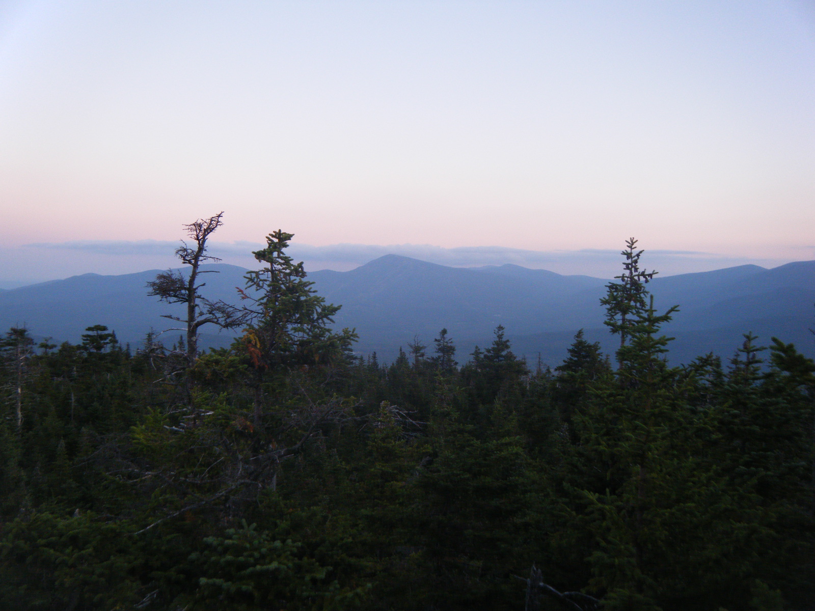
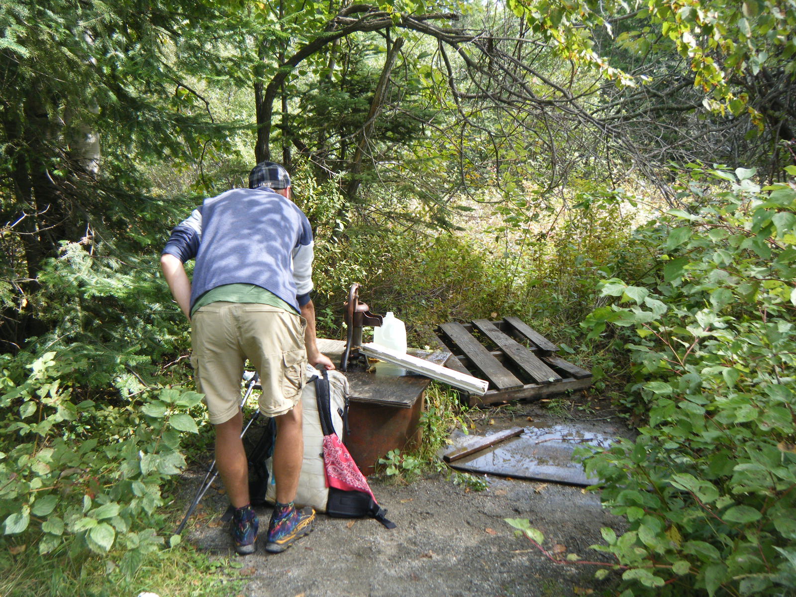
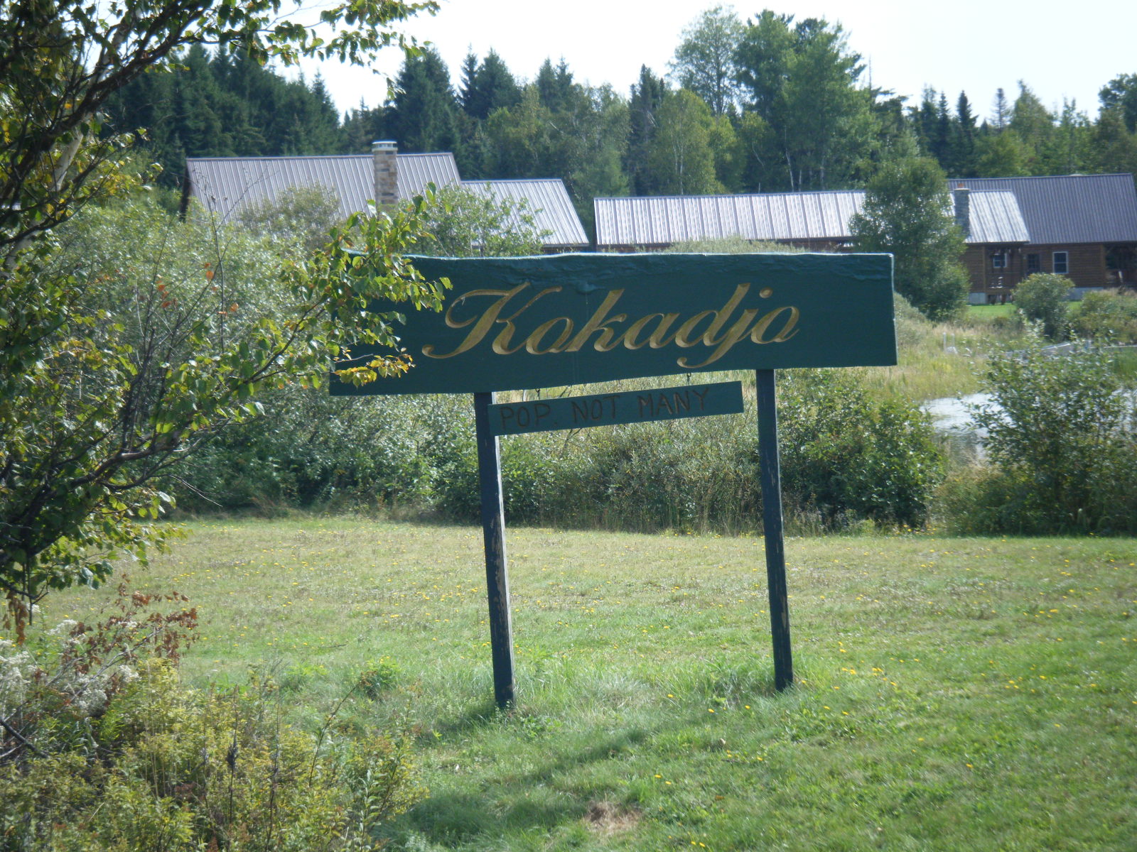
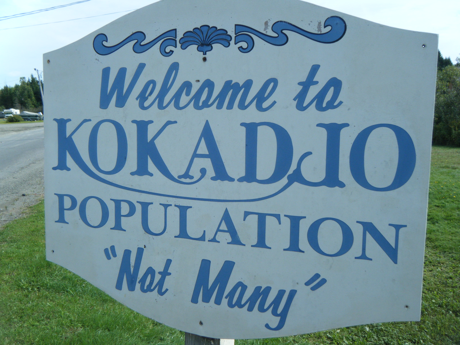
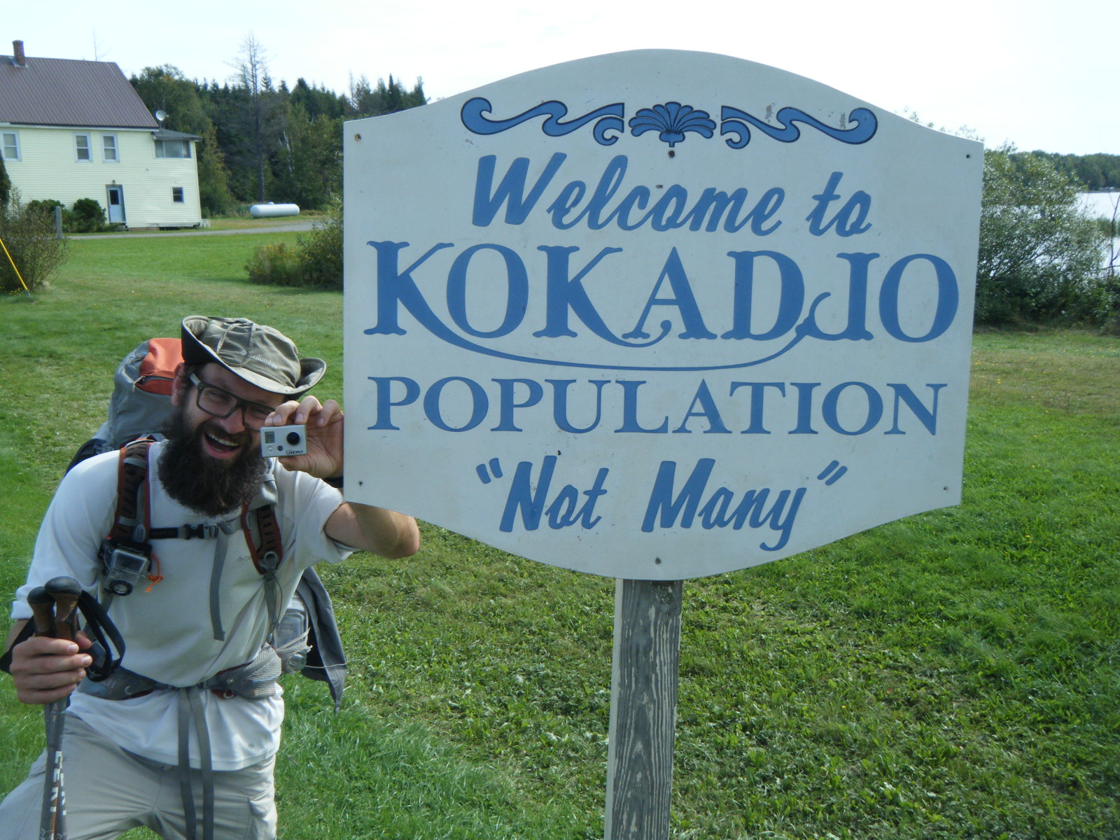
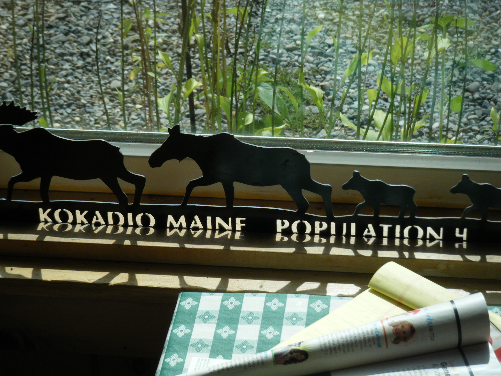
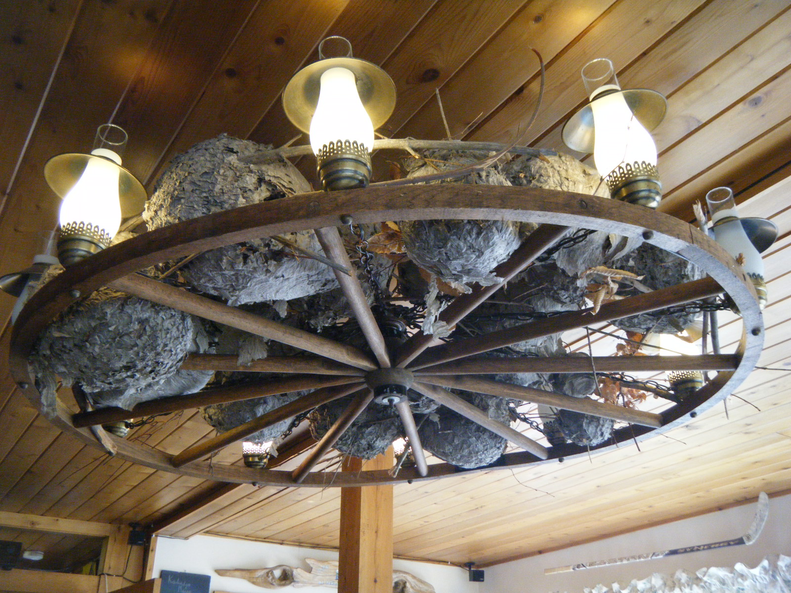
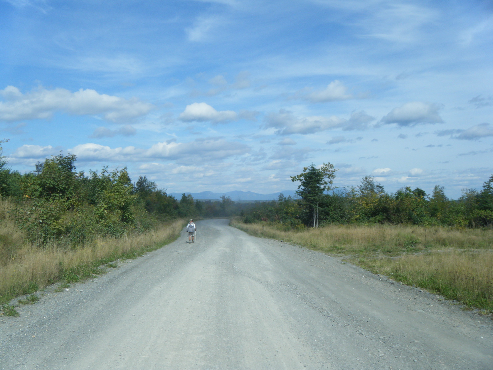
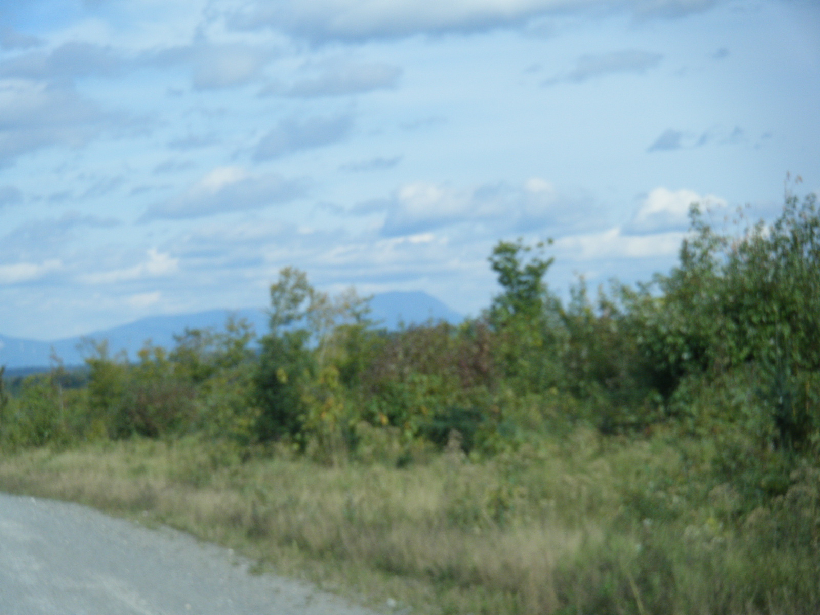
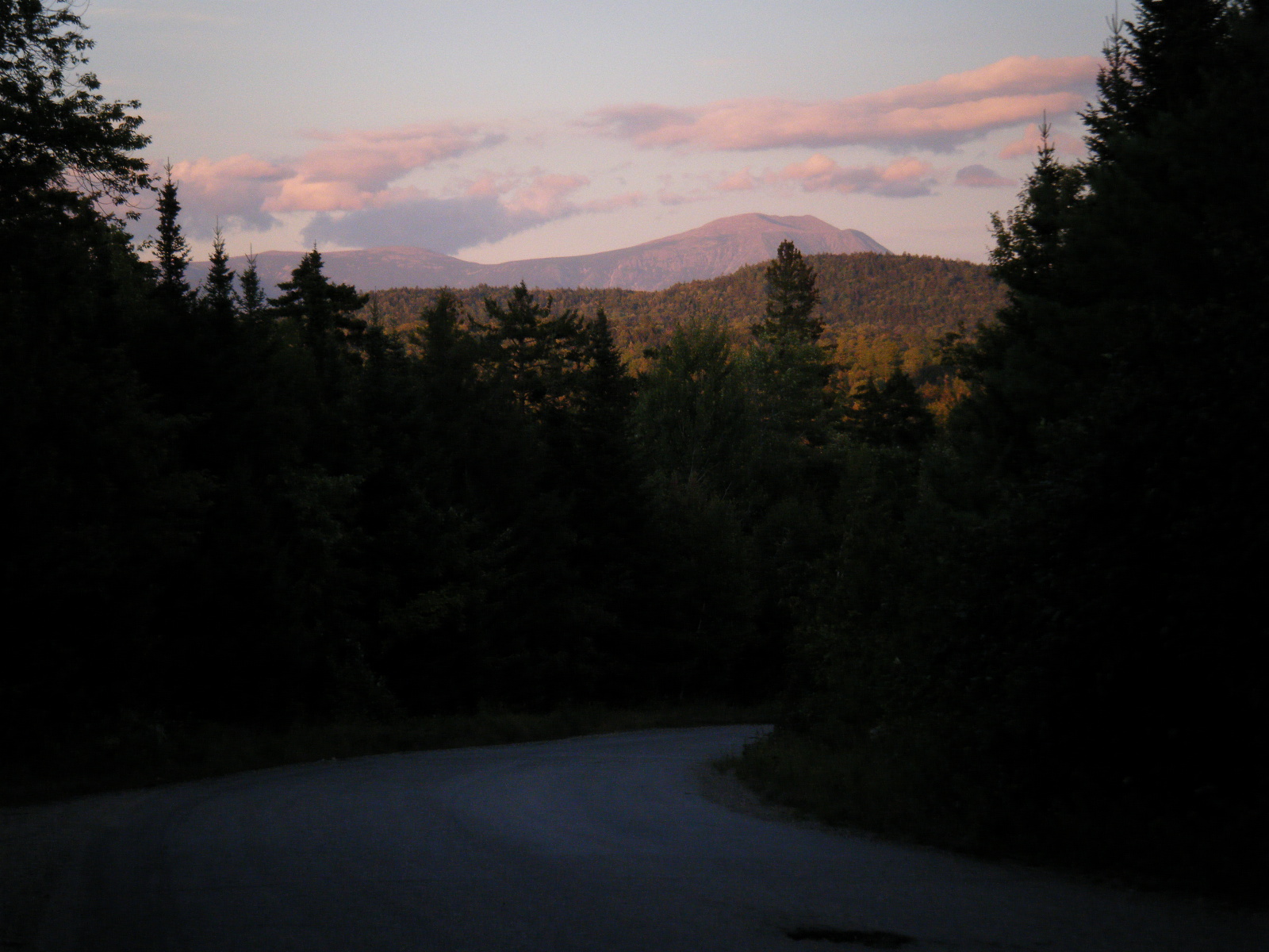
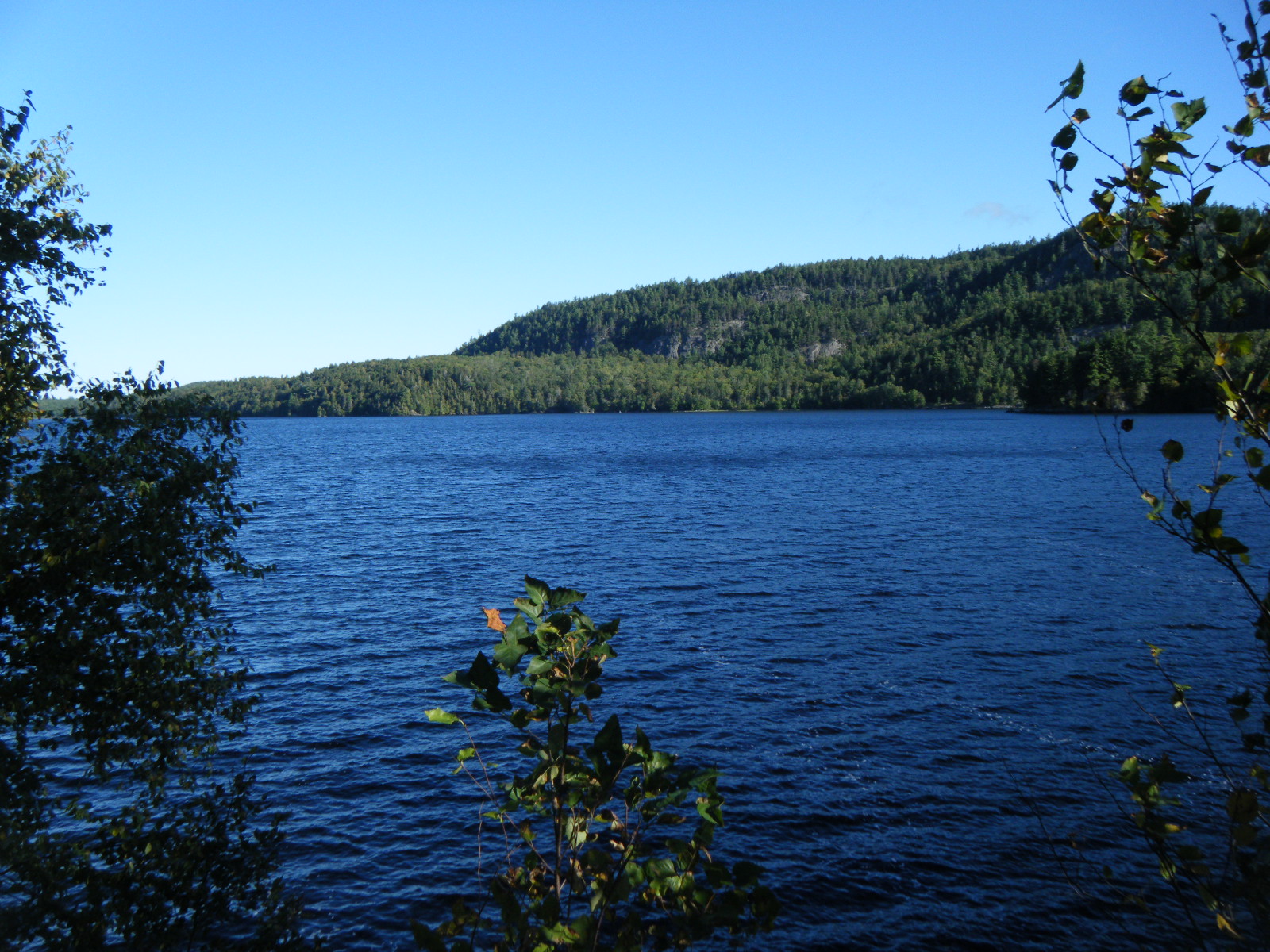
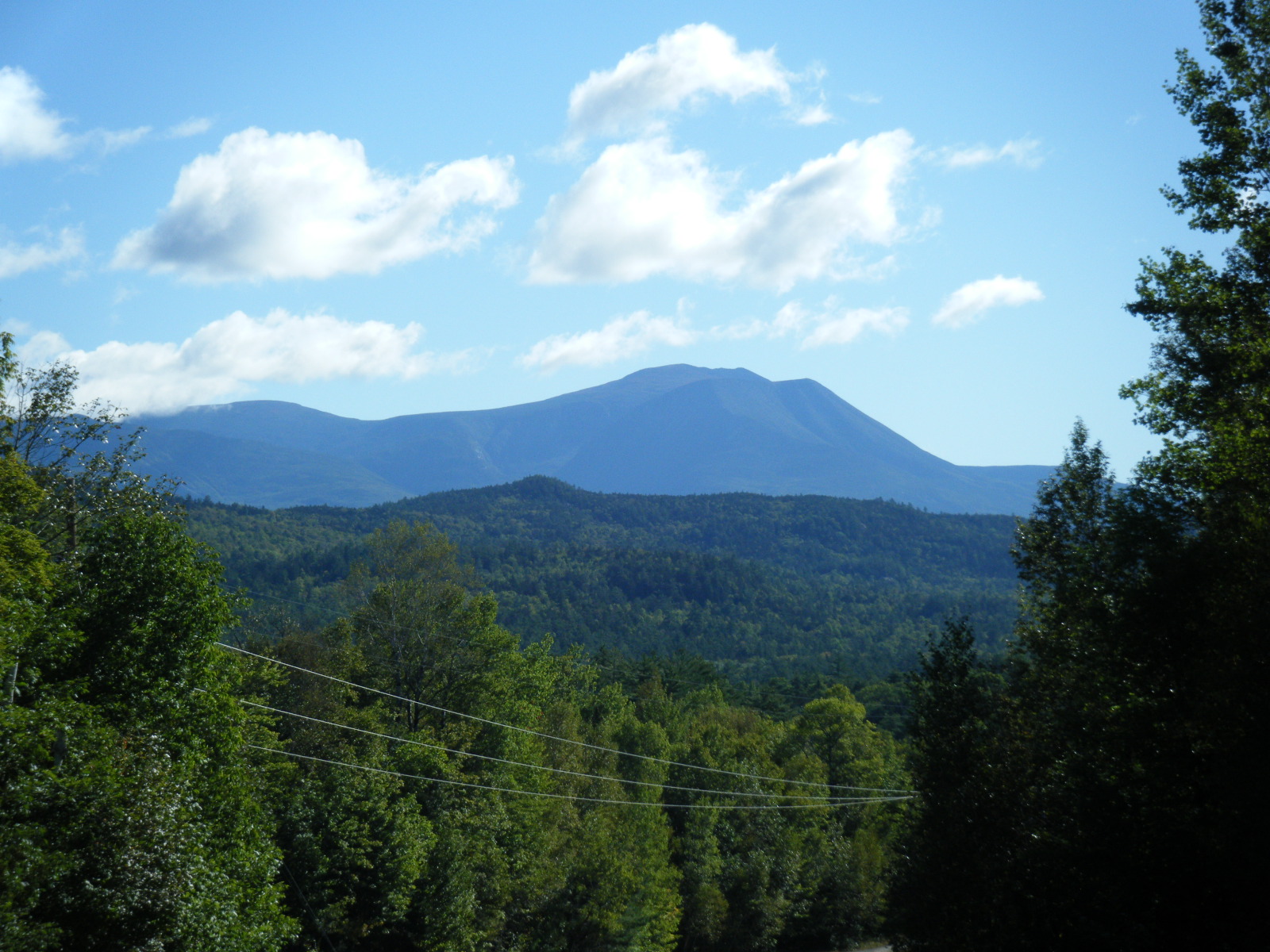
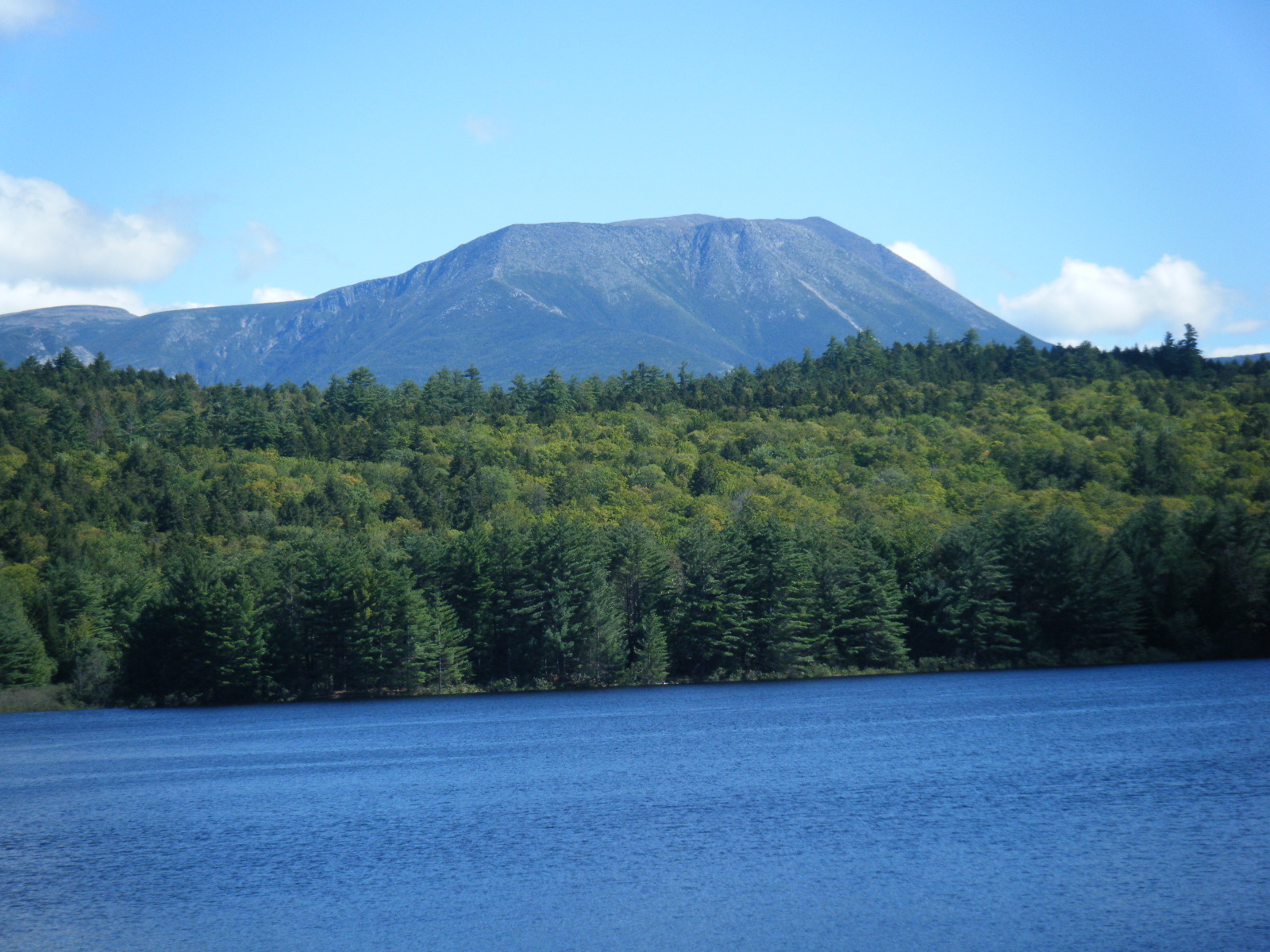
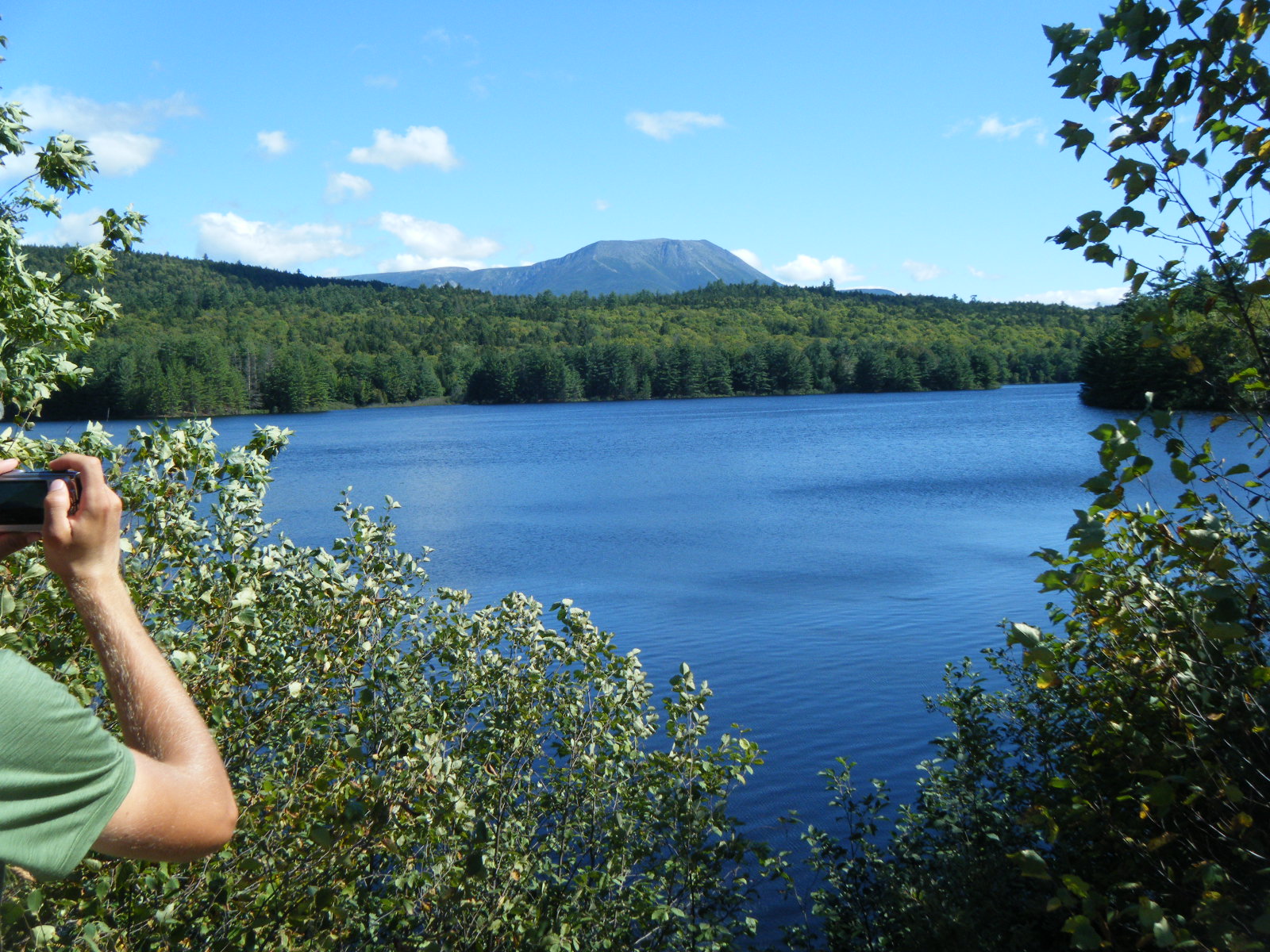
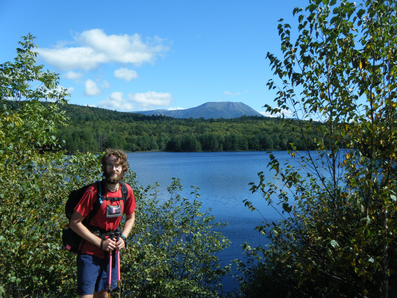
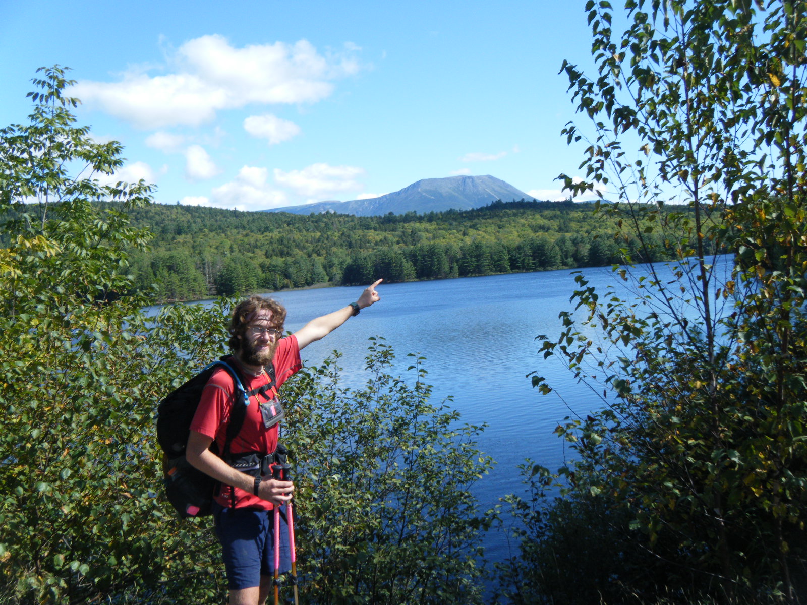
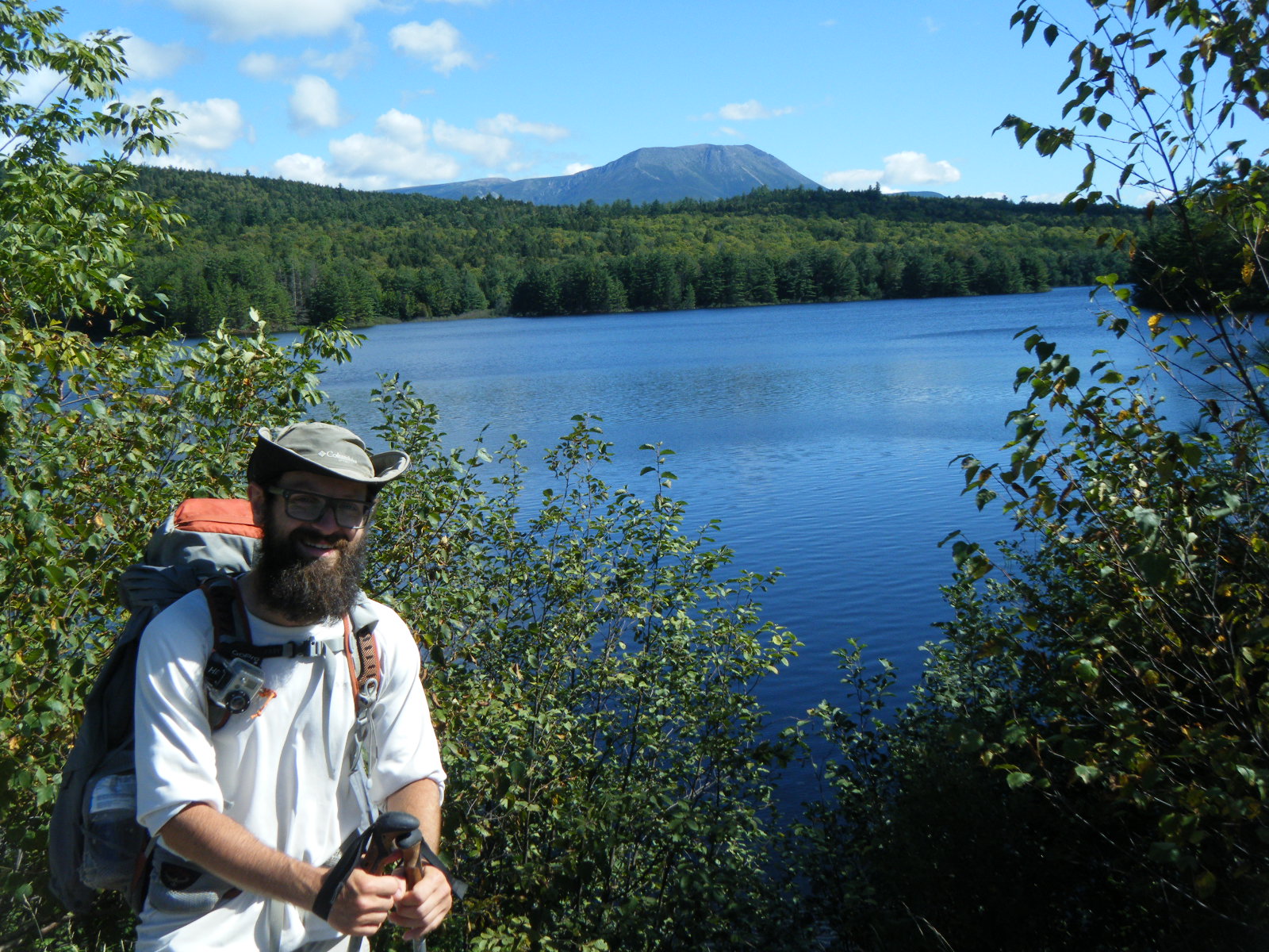
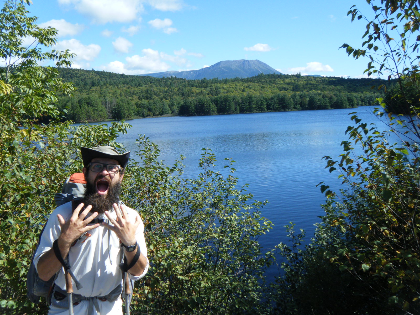
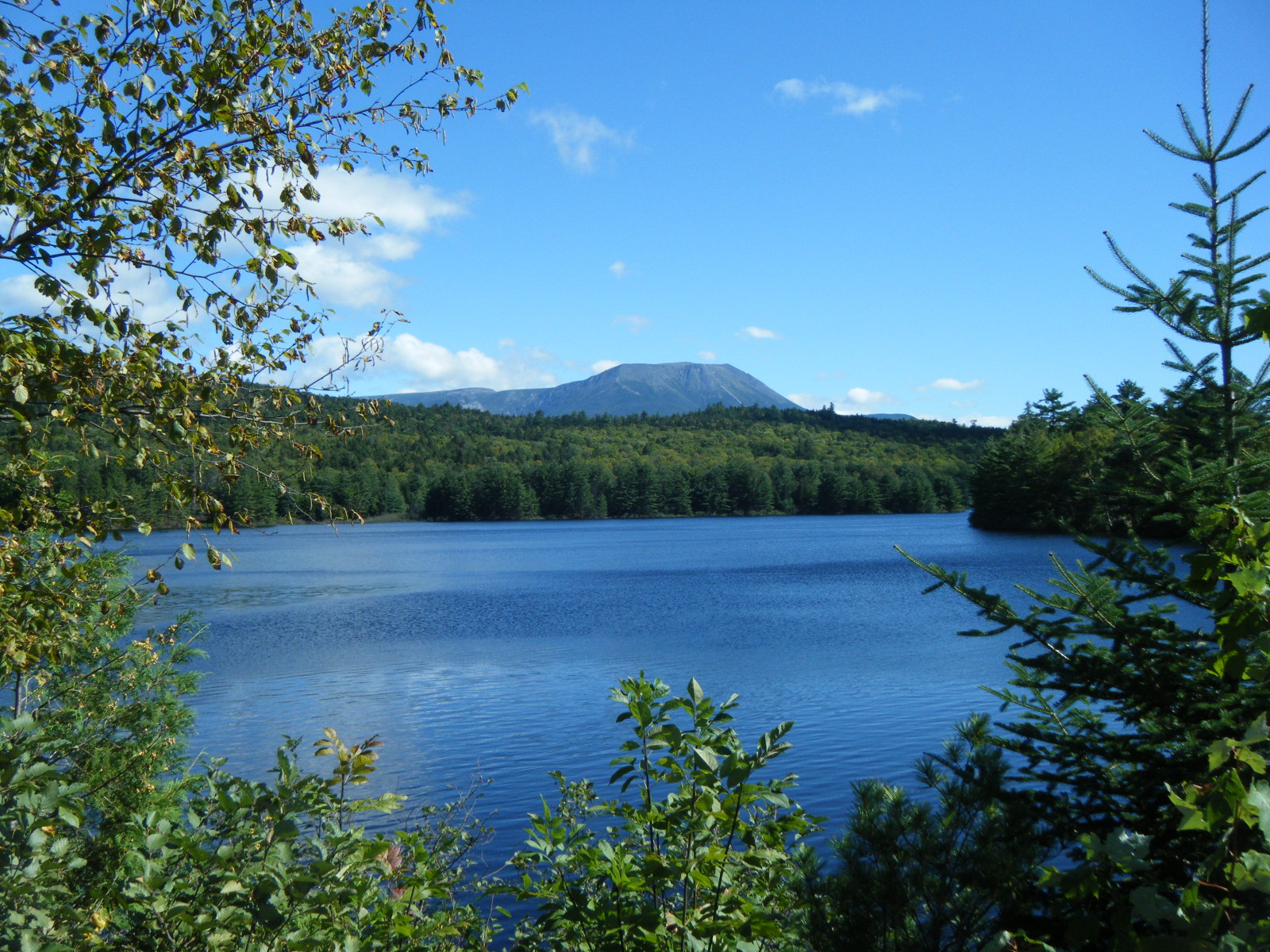
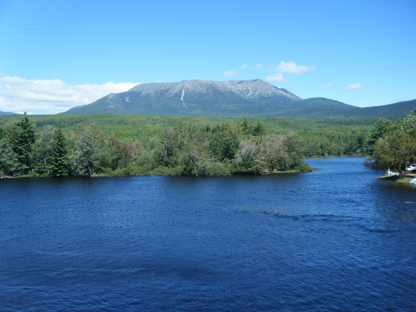
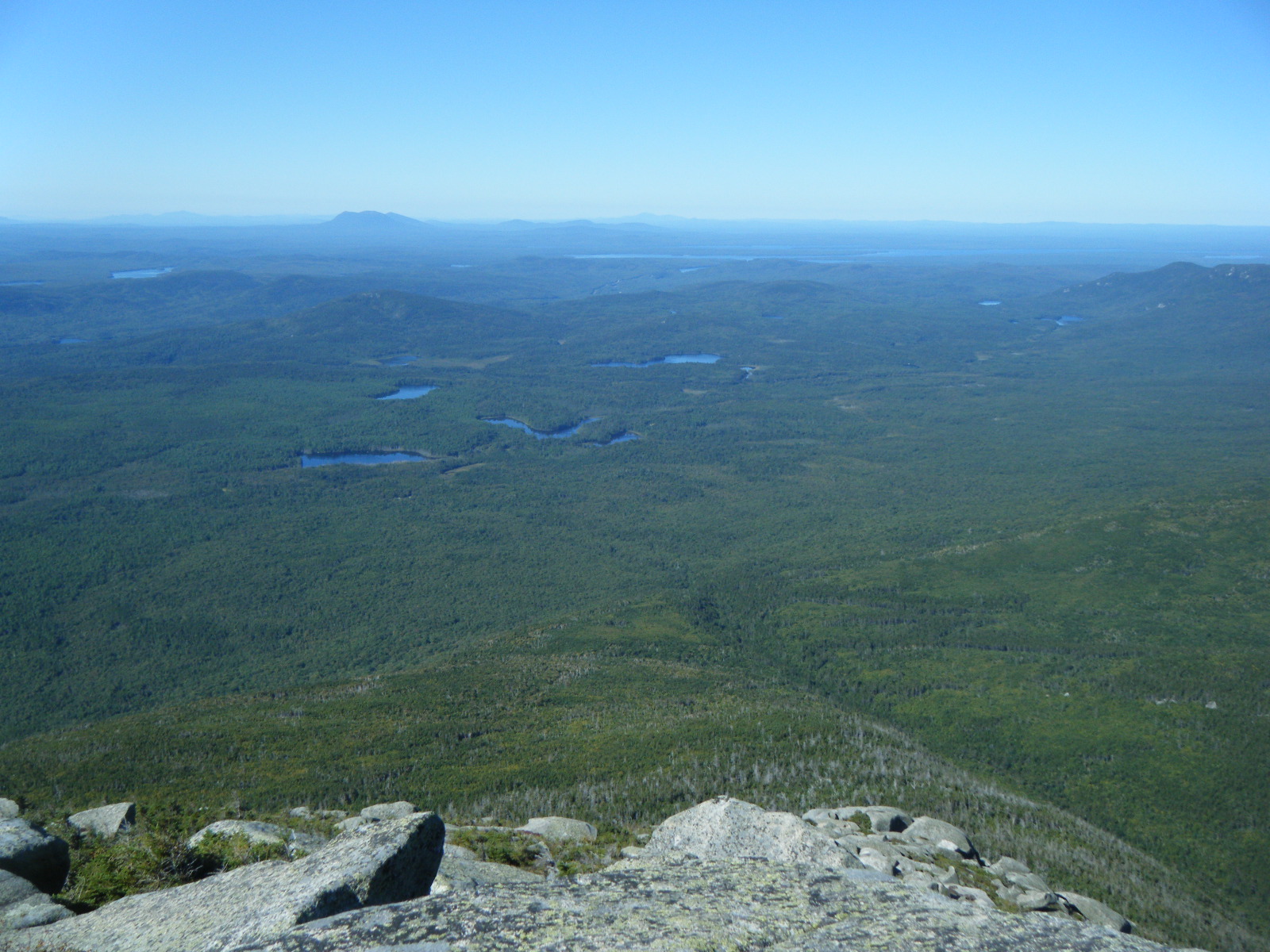
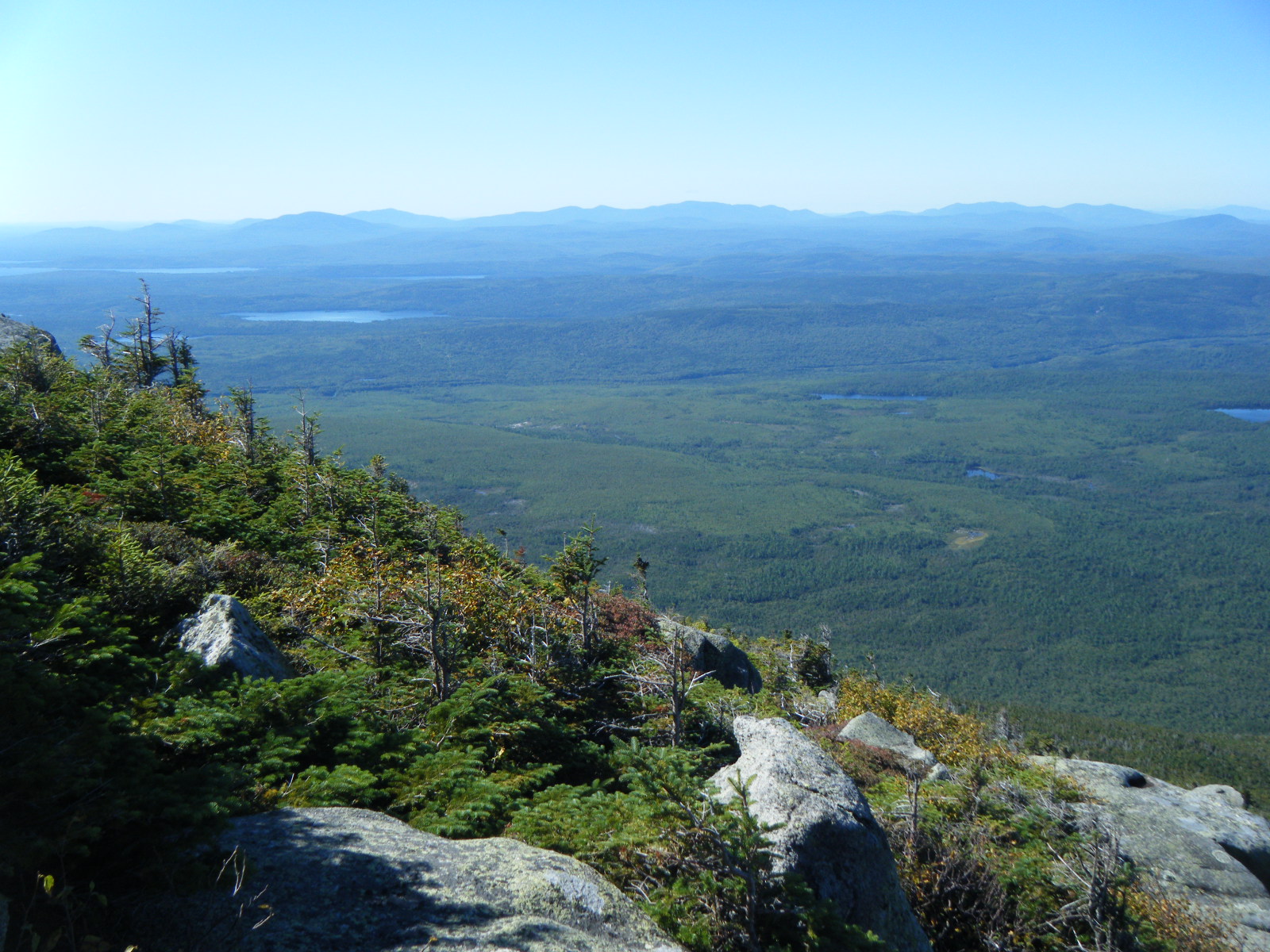
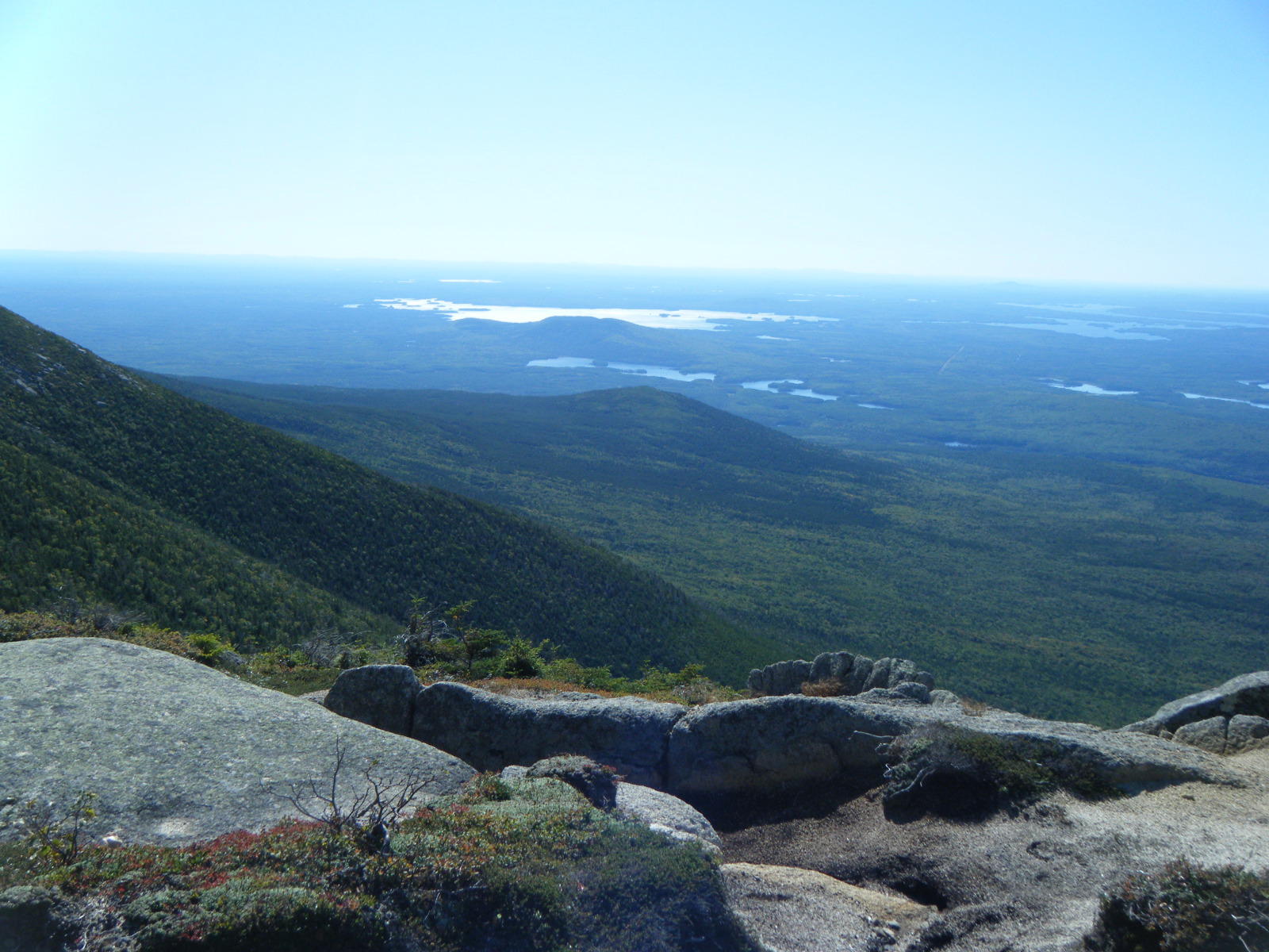
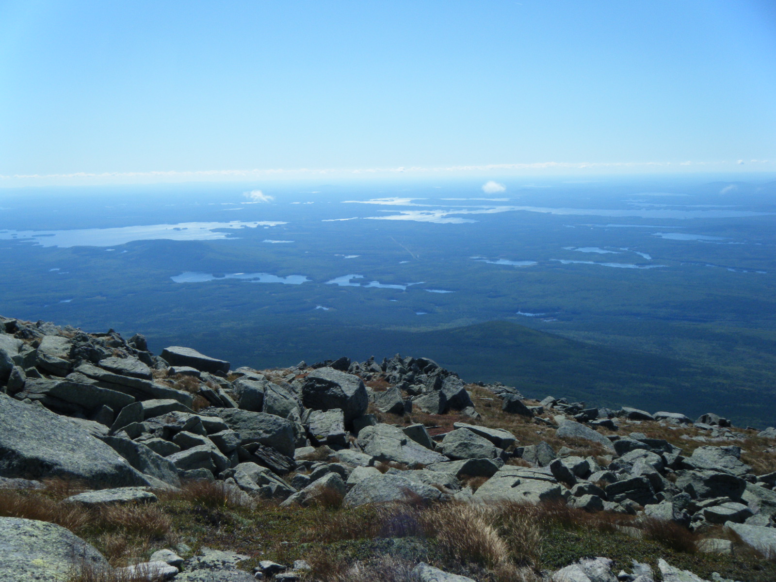
I was astonished at the amount of condensation and/or dew on my tent when I awoke Friday morning (September 9). I pitched on grass where usually I pitch on dirt, and I think the grass breathes a lot of moisture itself, as well as blocking ventilation. Whatever caused it, the roof of my tent was soaked in the morning. I packed it up wet and we hiked out. When we were just outside Kokadjo we passed a water pump on the roadside. Upon further investigation we found the water to be clear and cold, so we filled up. We continued into Kokadjo and went into the general store for burgers. The lady there told us the town has only 11 permanent residents. There was a chandalier in the restaurant decorated with paper wasp nests which had me a bit on edge after my previous wasp experience. The television was set to Fox news and they were covering the massive flooding in the Northeast. Jackrabbit ordered the last Fatty Melt (two grilled cheese sandwiches with a hamburger patty in the middle) of the trail. We hiked on and eventually reached the intersection with The Golden Road, from which it’s 38 miles to Millinocket and 18 to Abol Bridge. A couple cars stopped and asked us if we needed help, and when we told them we were hiking intentionally they became concerned for our well-being. We hiked about 4 miles on The Golden Road and we were able to see Katahdin from a couple points. We had some difficulty finding decent water, but eventually I heard a stream that we found to be crystal clear. We camped in another ancient, overgrown road bed, well obscured. We ended up doing another 25 miles or so, and everyone was in pretty significant pain. Jackrabbit, Larb and I were popping Vitamin I like candy but Handstand refused to take painkillers. There was a clear sky and a full moon though, so that was nice.
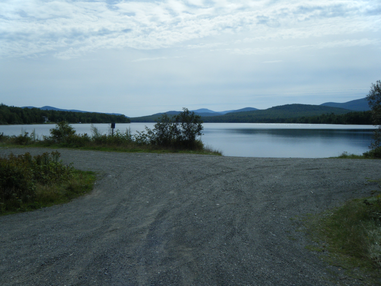
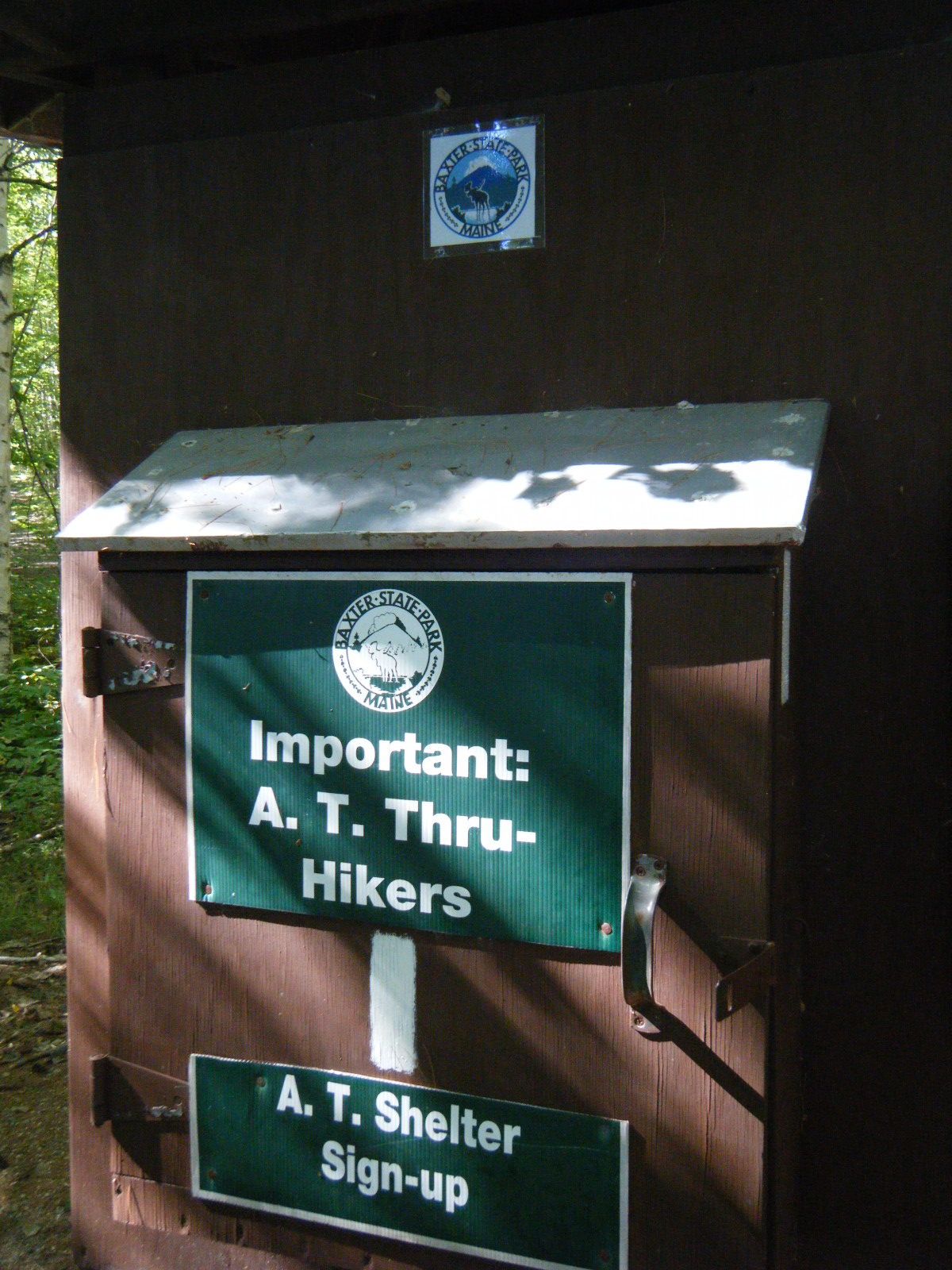
The dew was just as bad Saturday (September 10) as the previous morning. Once again I packed the tent while wet. We got moving early and it wasn’t long before we came across a hint of civilization. There was a parking lot, a river, a field, some chairs, some picnic tables, a water pump, and a building where you could buy coffee and cinnamon rolls. I’m not sure what the place was, exactly, but we definitely enjoyed the water pump. There was a guy fly-fishing in the river so we watched him while we hydrated and rested. We moved on after a bit, got some more nice views of Katahdin, and at one point a guy in a truck pulled over and gave each of us two beers. Eventually I spotted a white blaze on the road – we’d finally reconnected with the AT! It felt really nice to be back on the trail. We crossed Abol Bridge and stopped at the general store just outside Baxter State Park for some sandwiches. We talked to the ranger there and he told us he’s never heard of anyone road-walking from Monson. Everyone who heard about our road-walk thought it was crazy. The ranger told us there was a frost warning for the overnight, so I made sure all of my gear was dry before we moved on. We hiked 10 miles in the woods from Abol Bridge to Katahdin Stream Campground. The trail was flooded in a couple places so my feet got wet and muddy, and we had to take the “high water trail” bypass to avoid being washed down a river. Amazingly, even the high water trail was flooded in places. My feet and legs and hip were killing me from that road walk, but as soon as I was walking in the woods again things started to feel better. We eventually made it to Katahdin Stream Campground where I registered with the ranger, paid my $10 camping fee, and the four of us packed into a 4-person shelter. We didn’t mind being shoulder-to-shoulder because we knew the closeness would help keep us warm through the night.
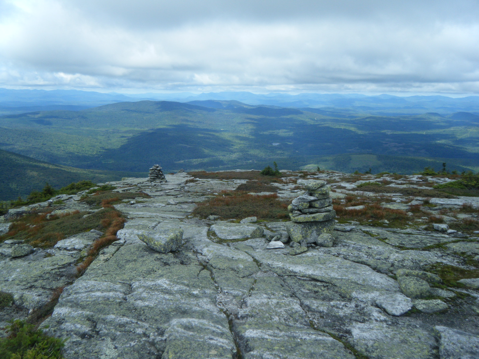
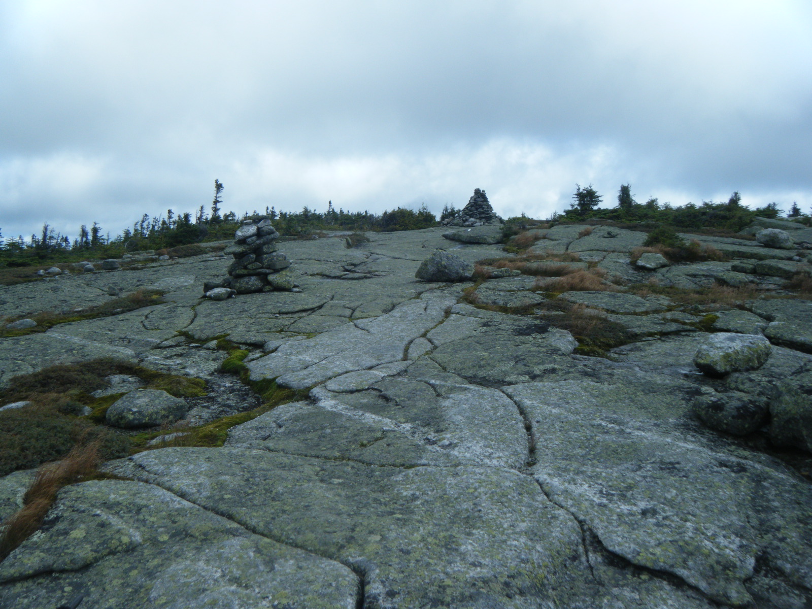
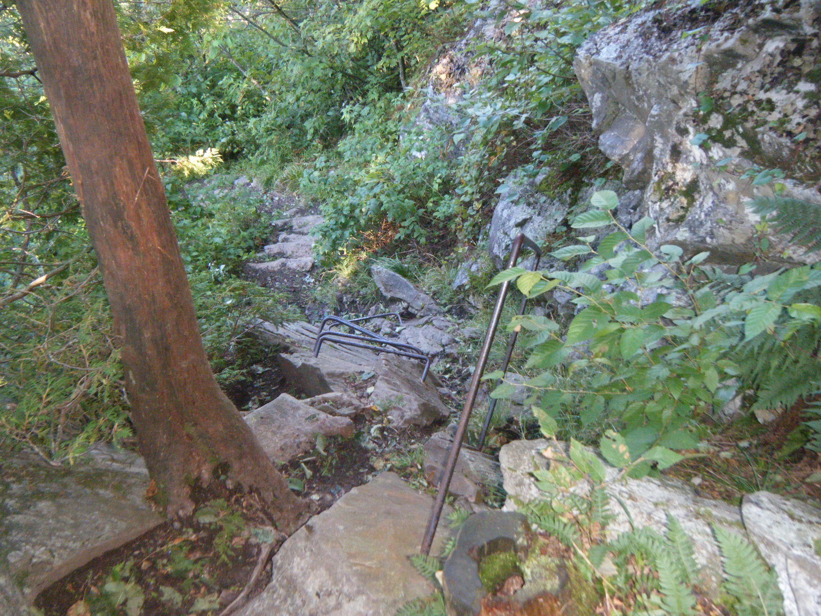
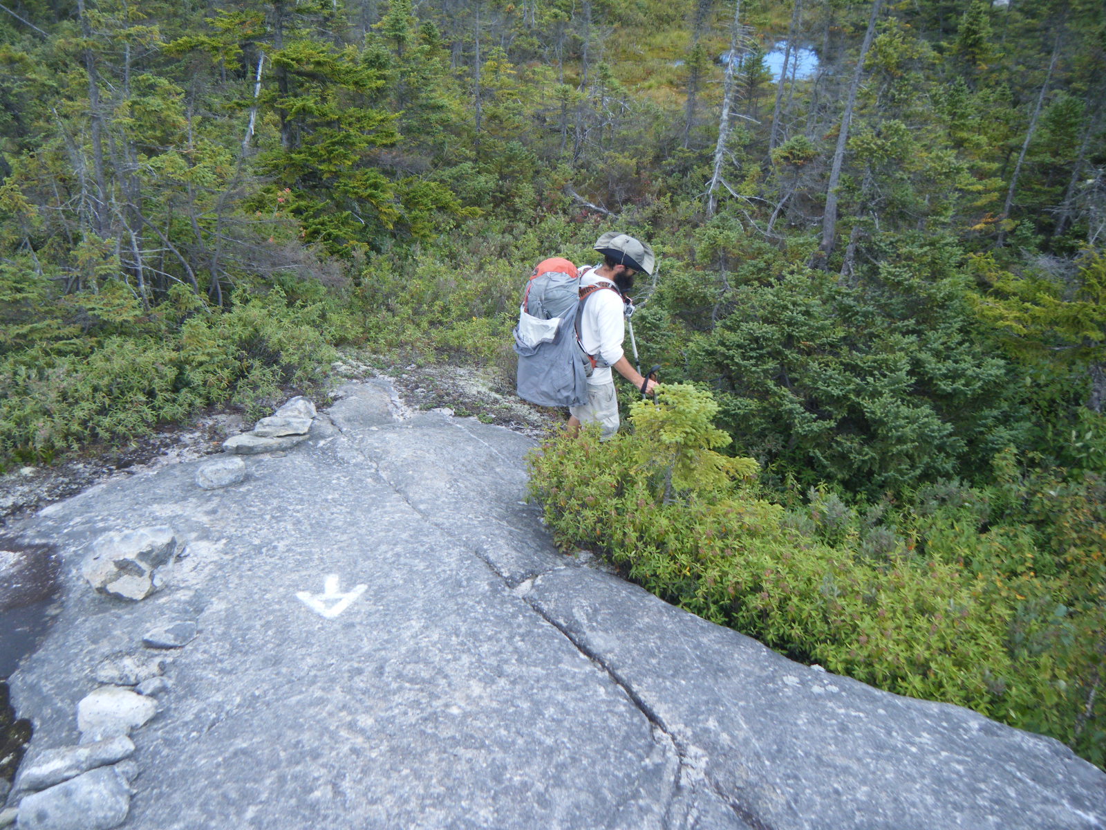
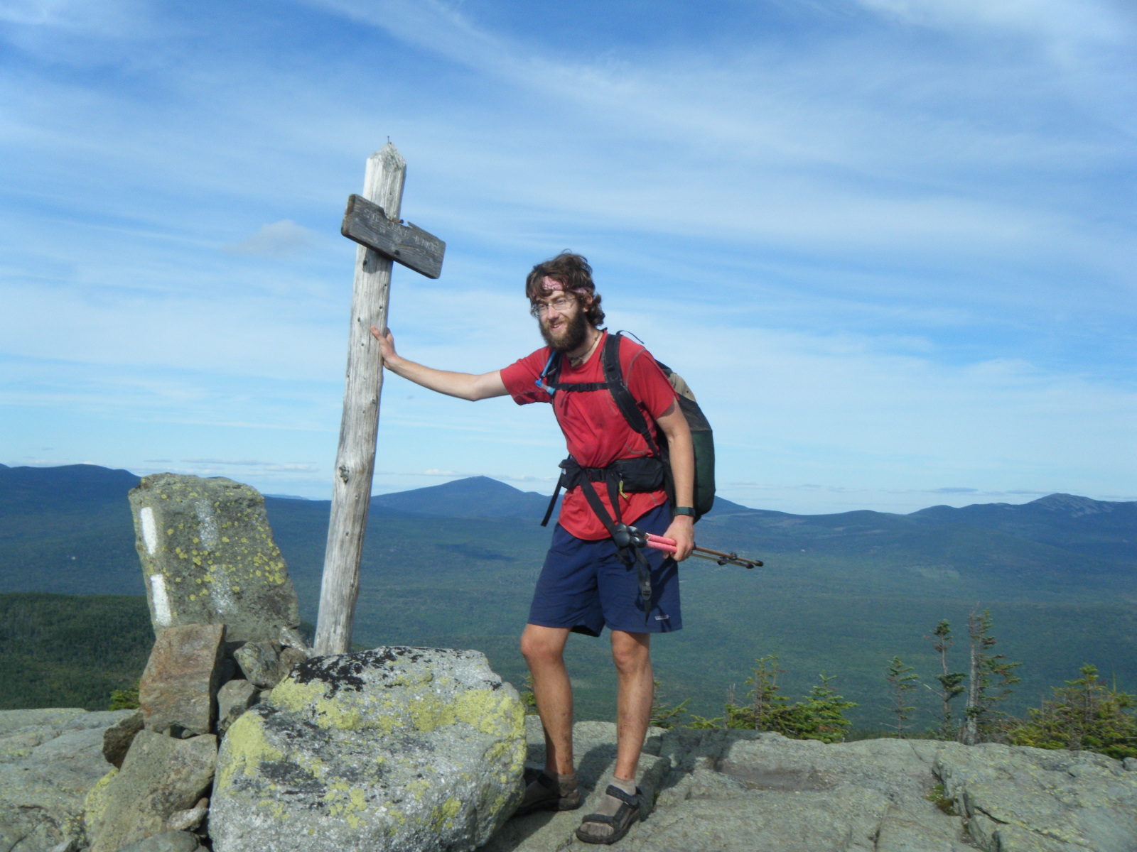
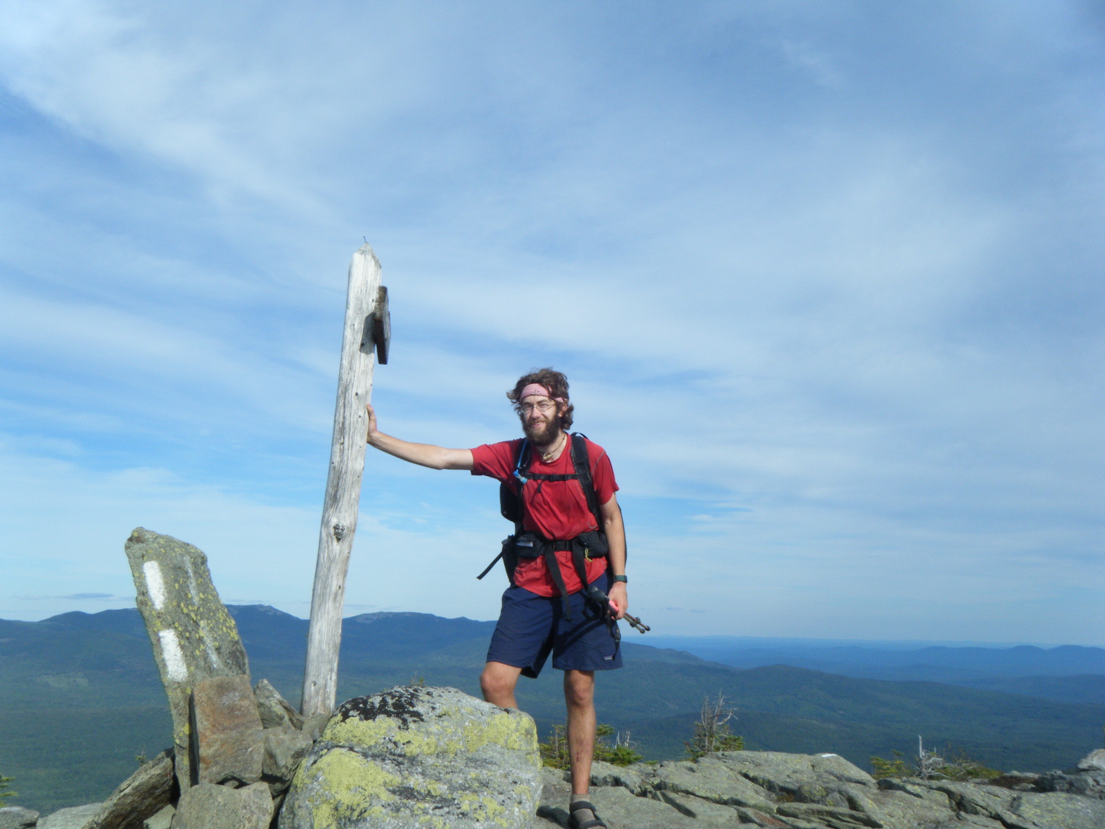
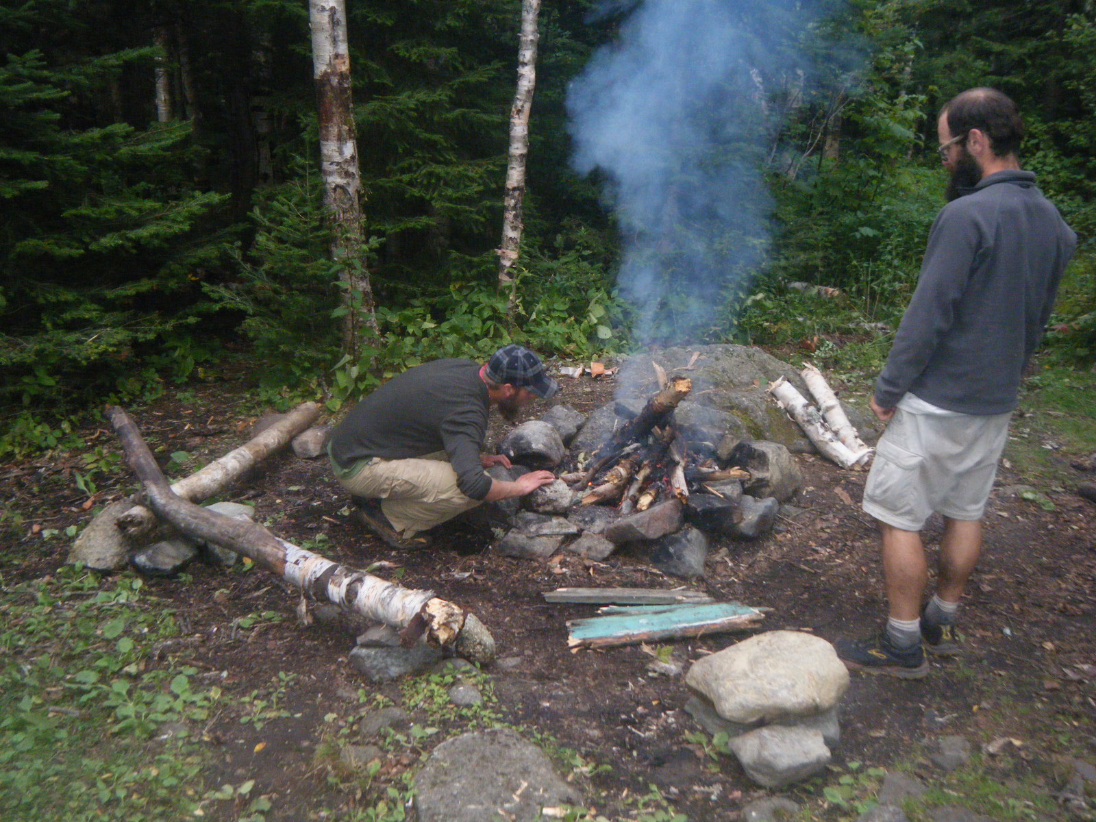
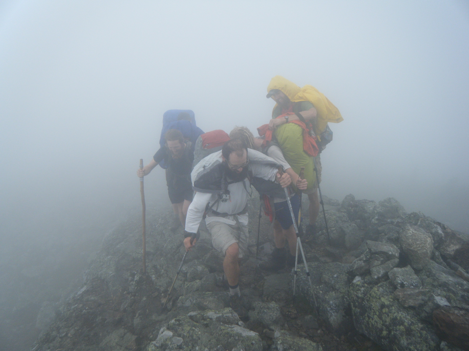
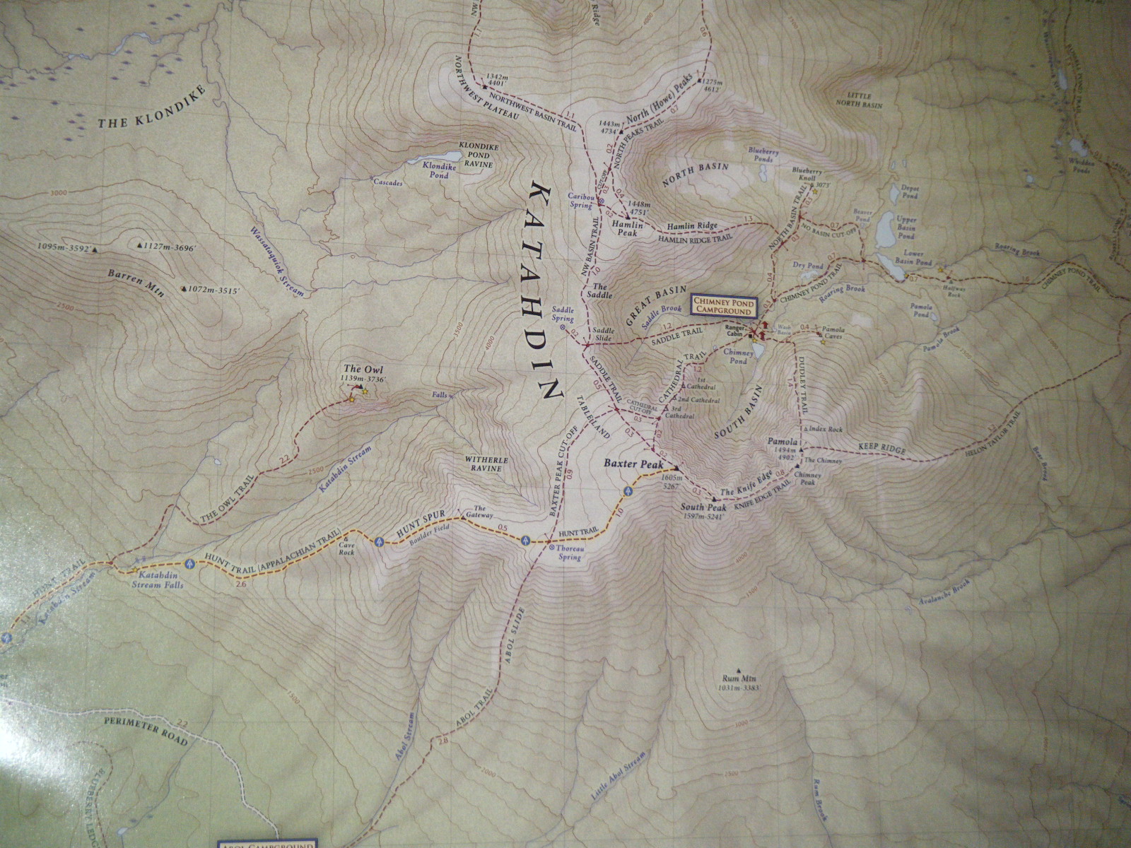
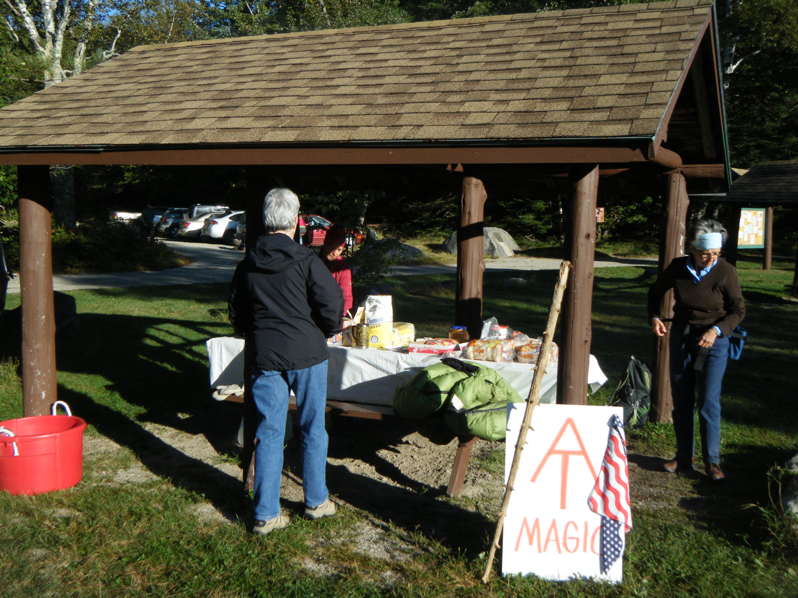
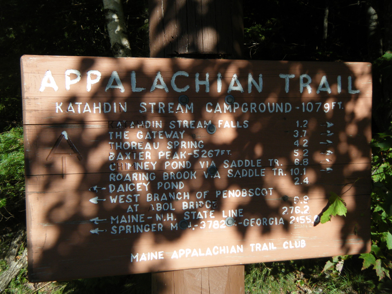
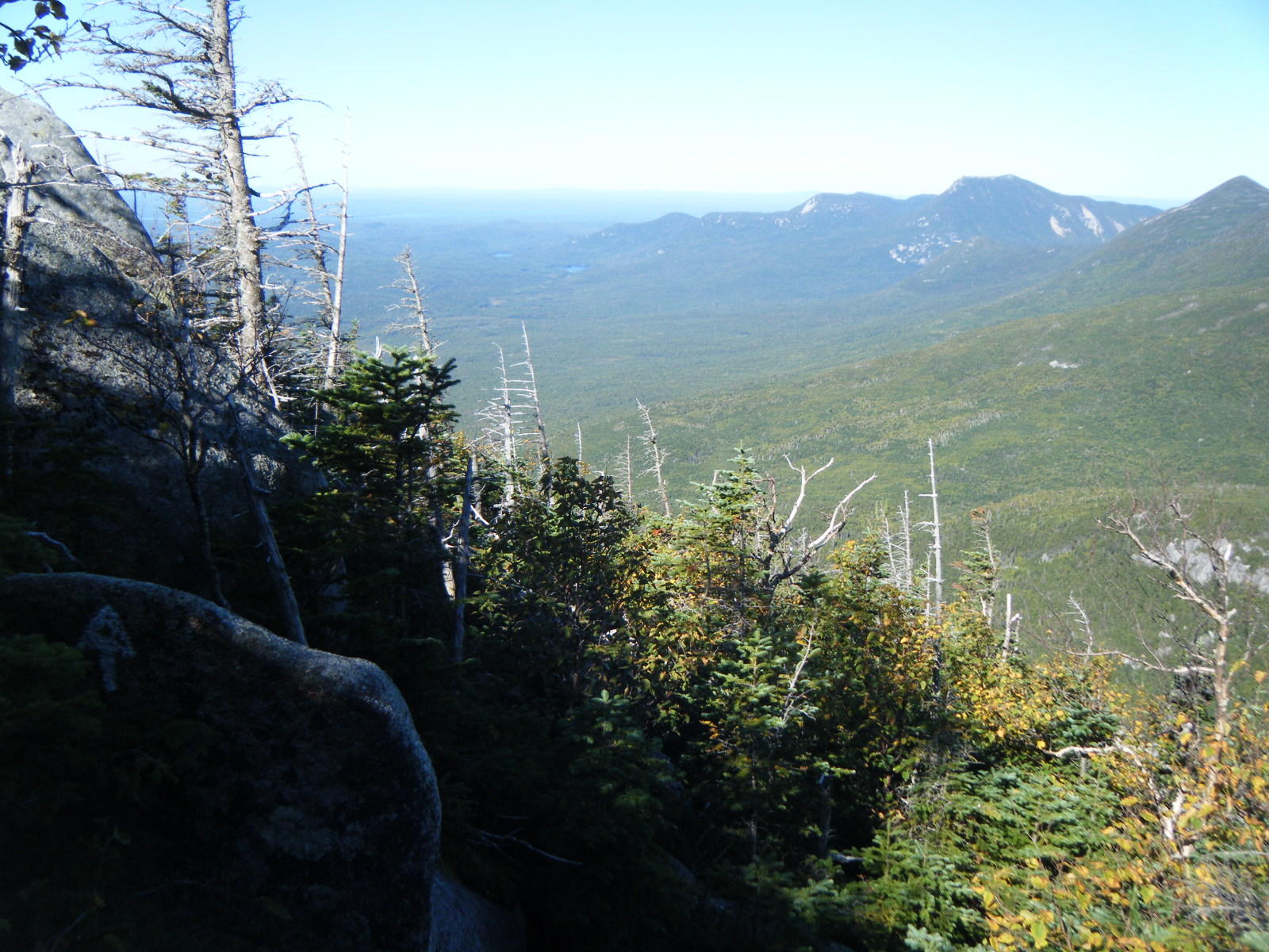
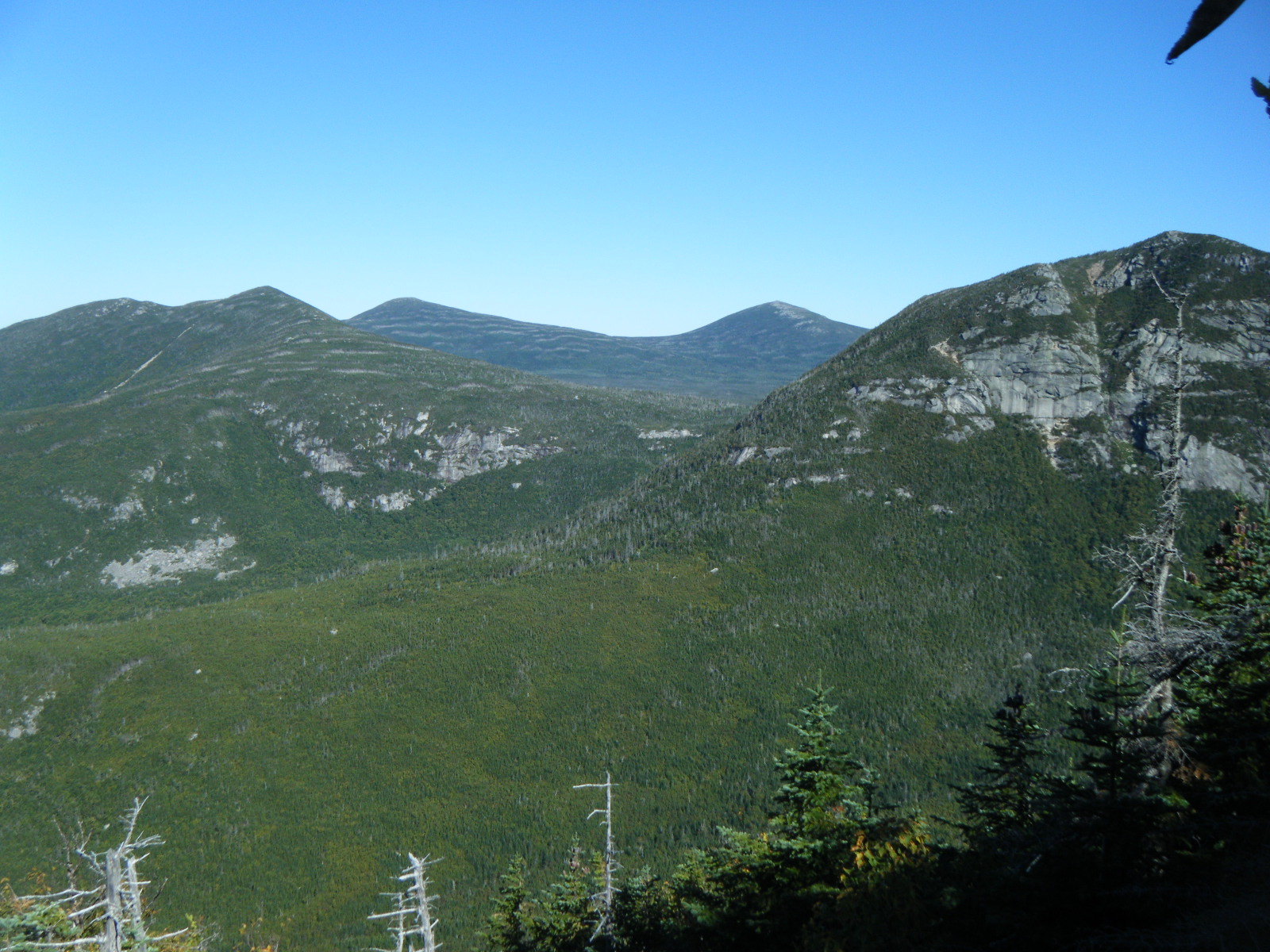
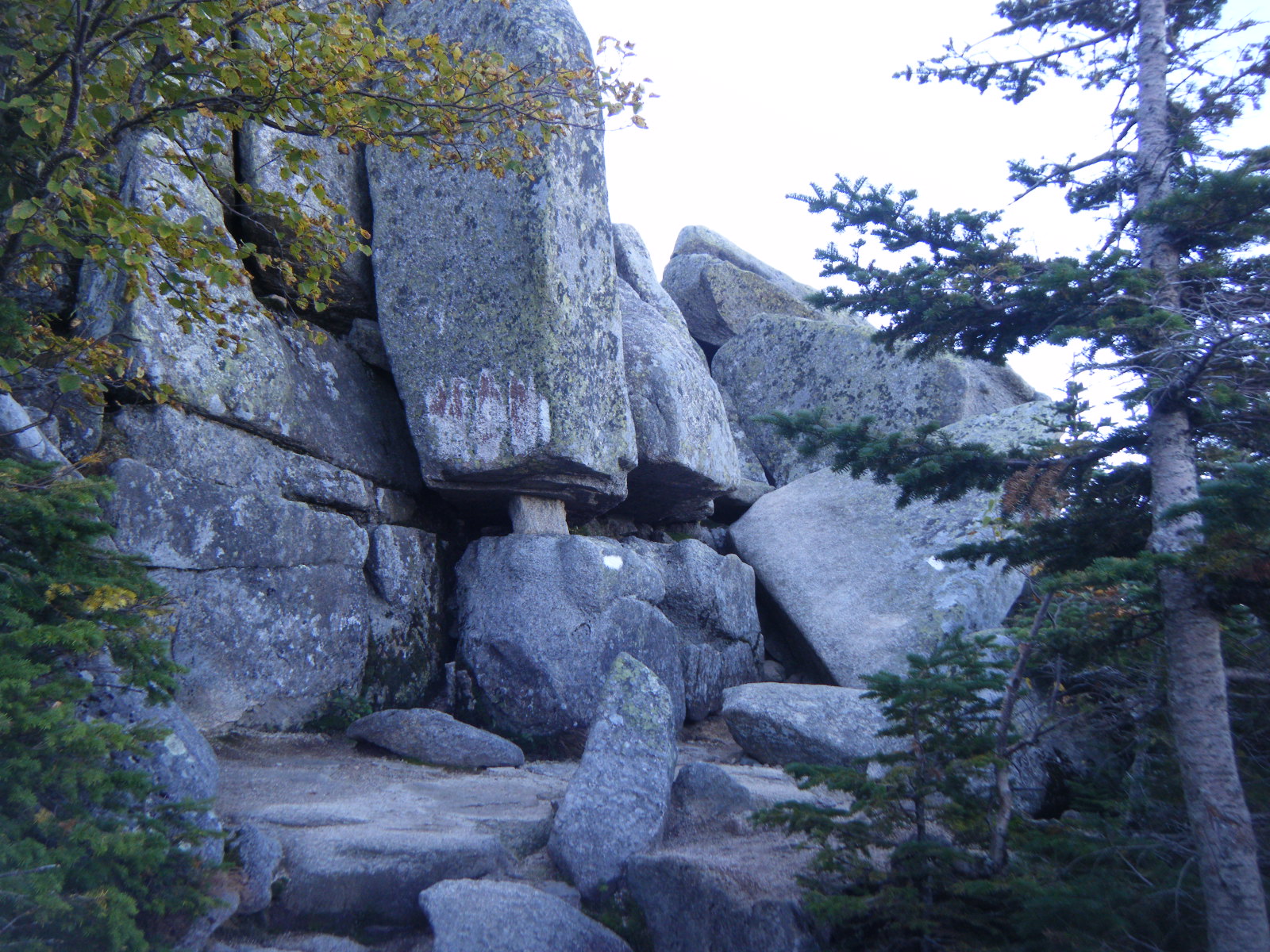
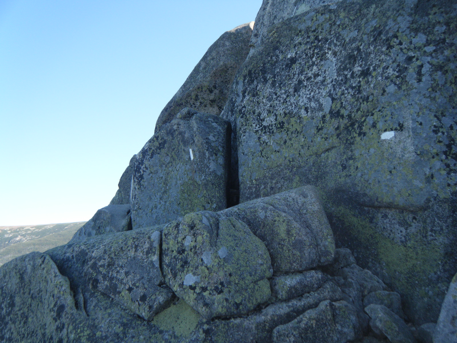
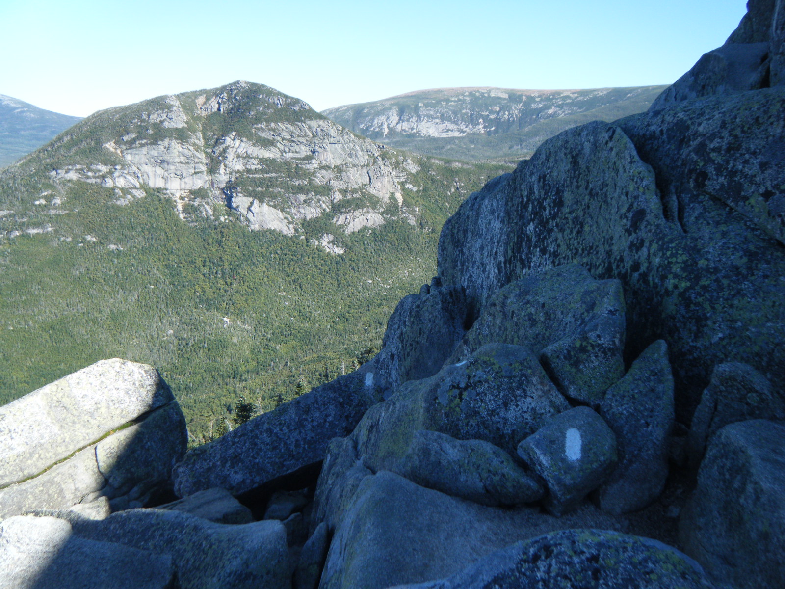
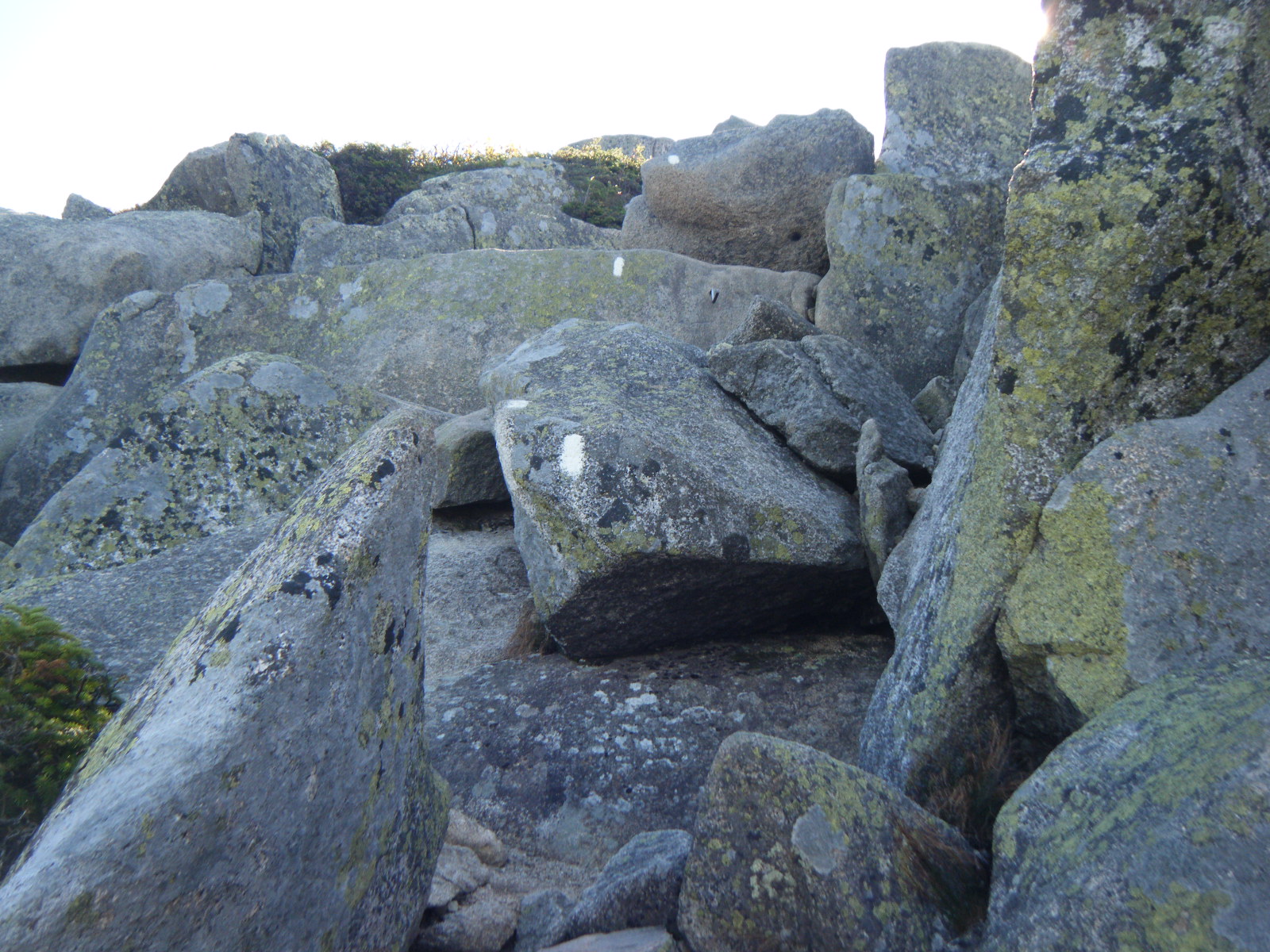
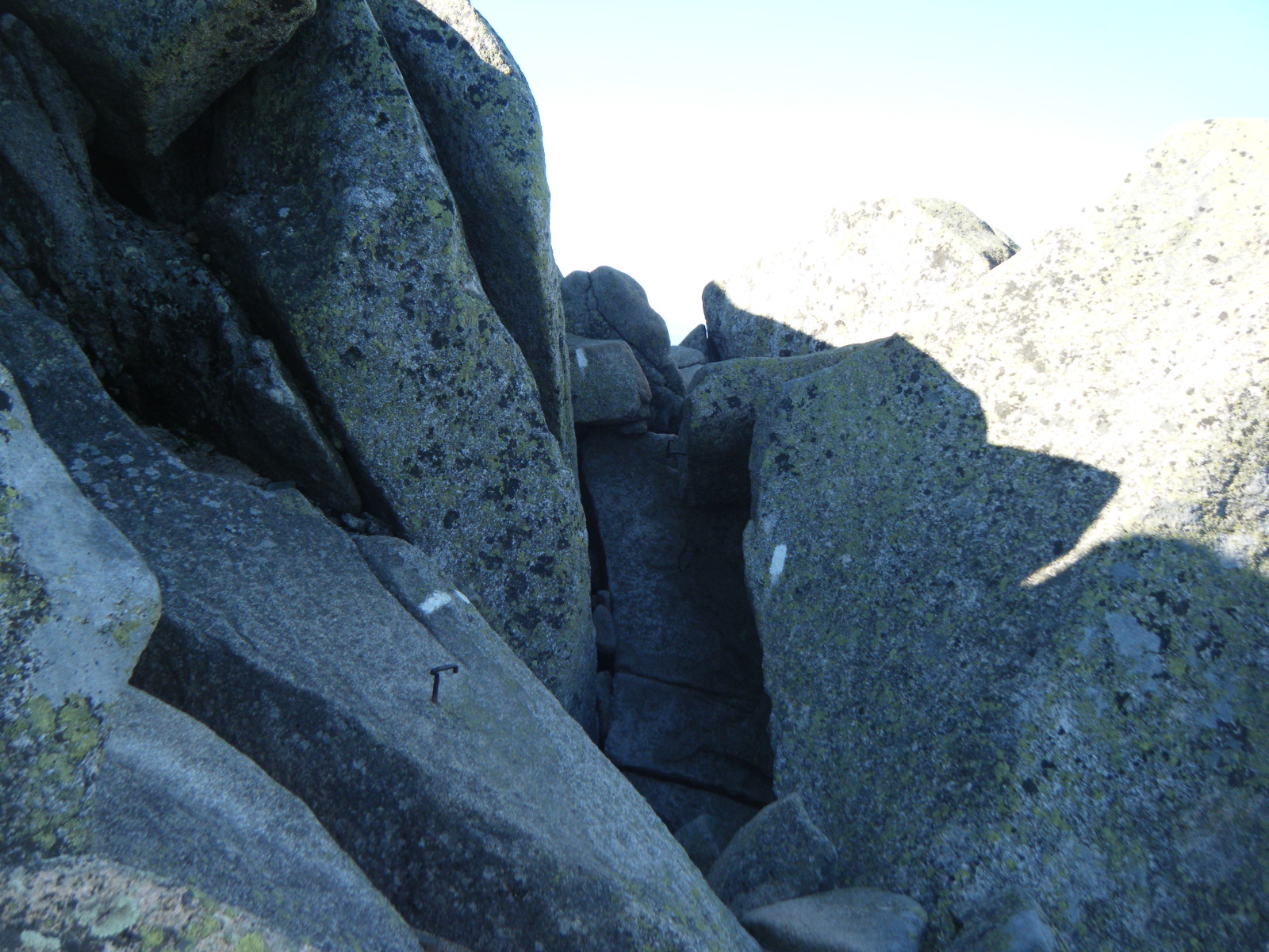
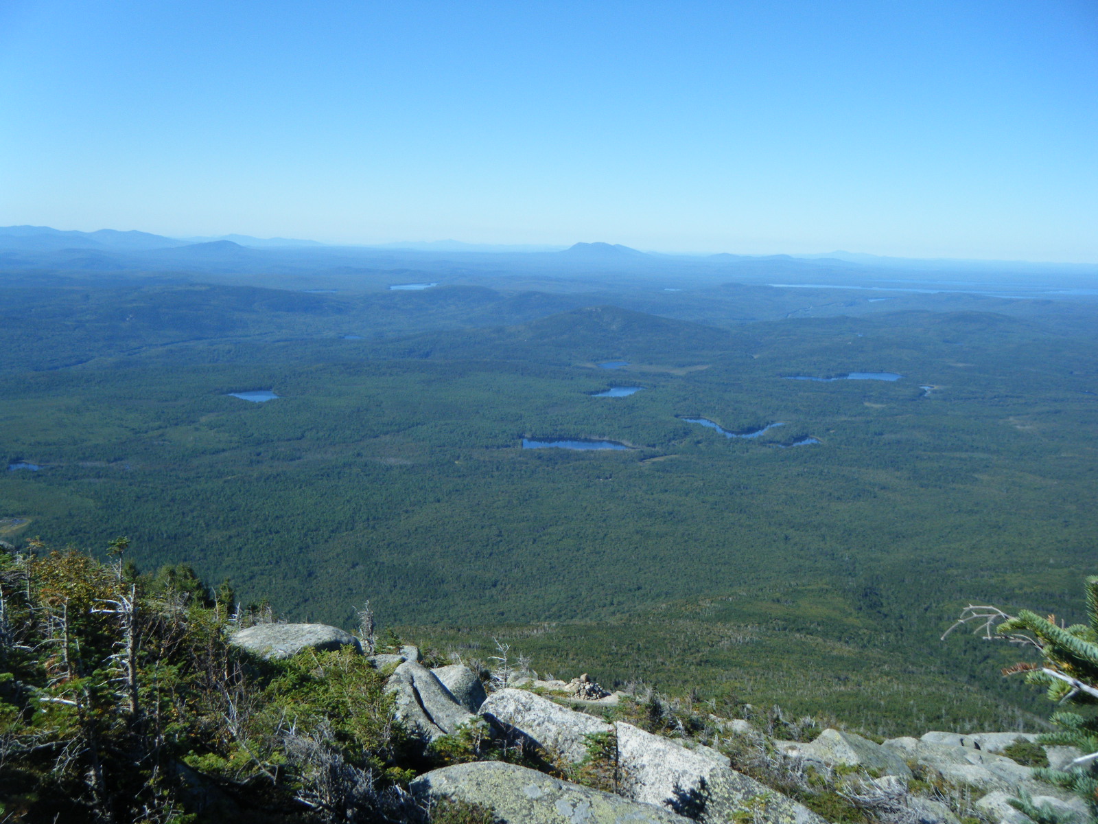
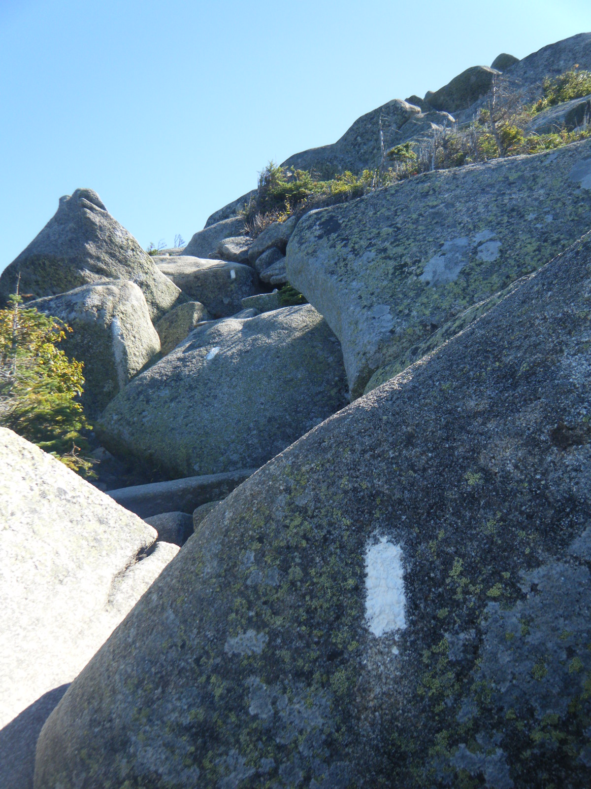
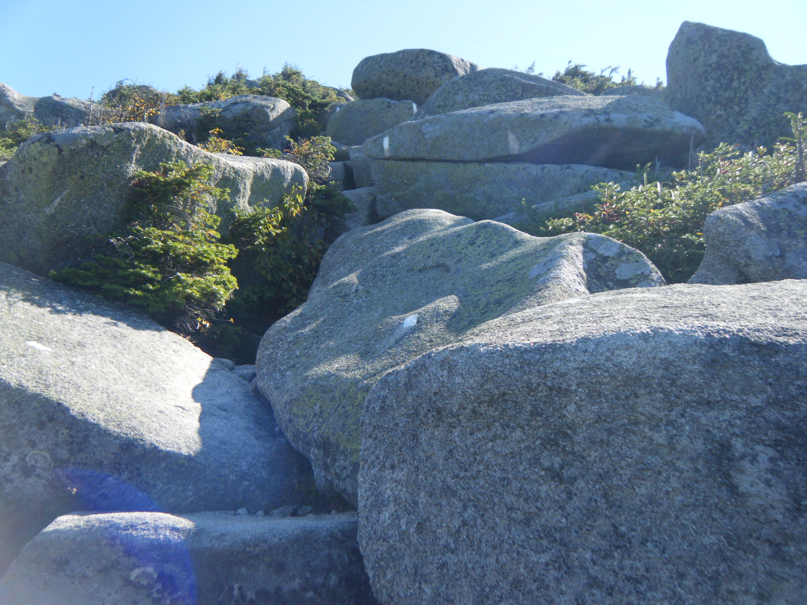
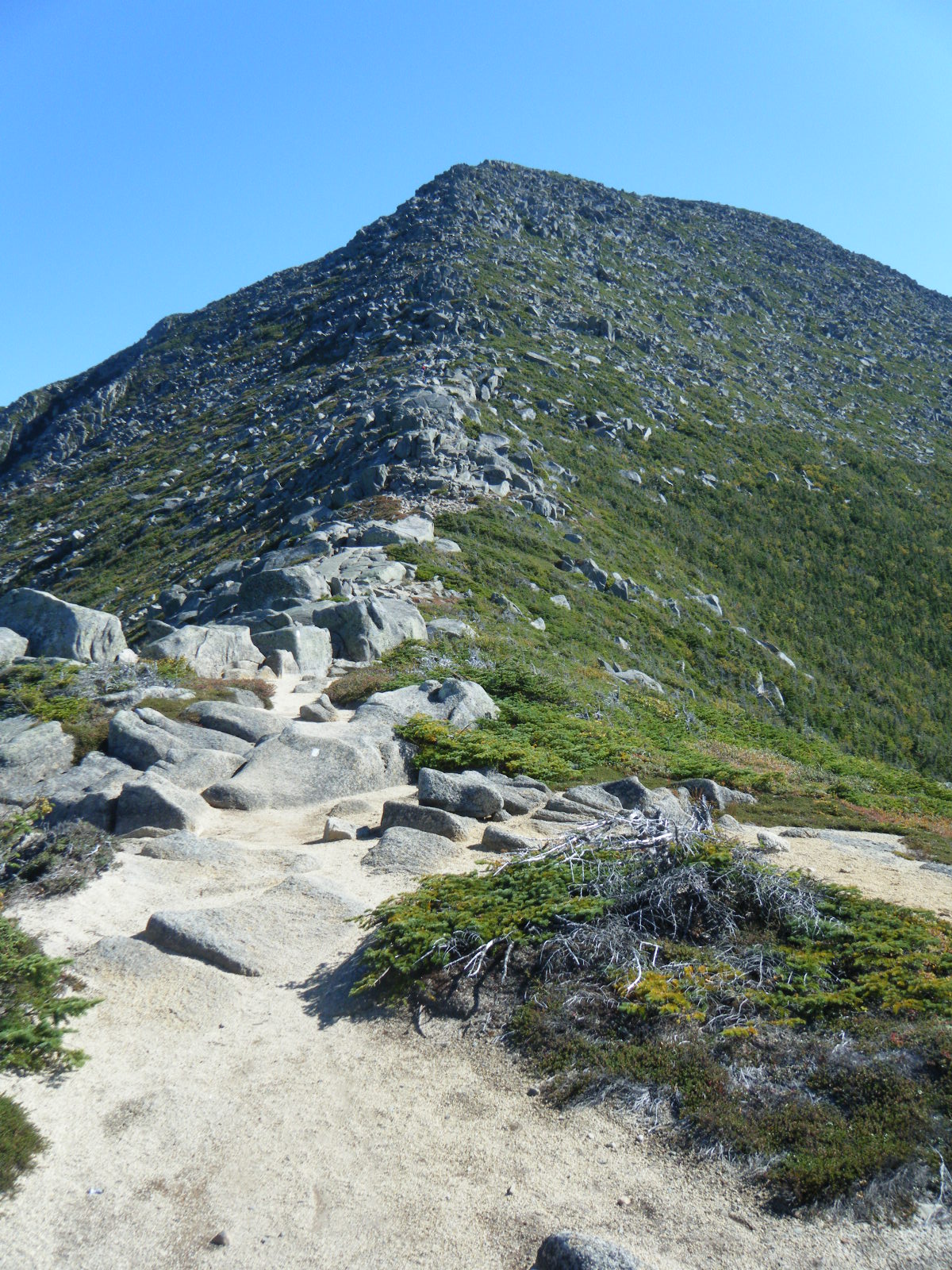
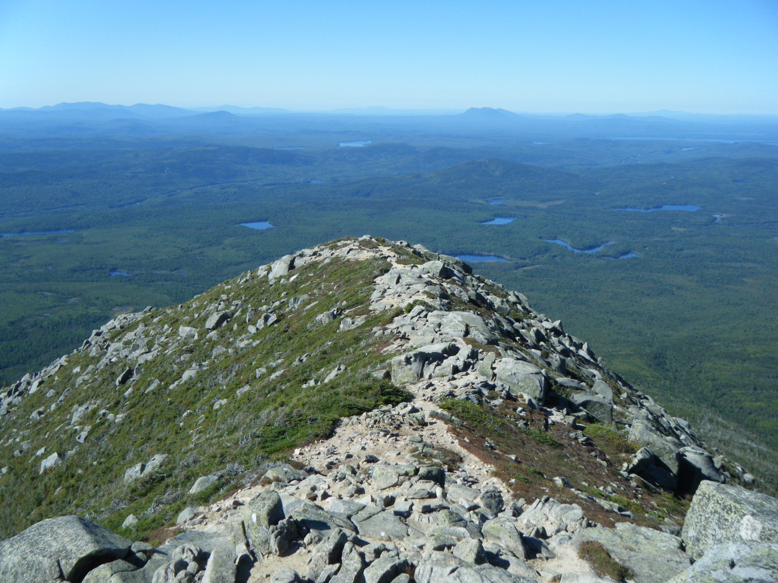
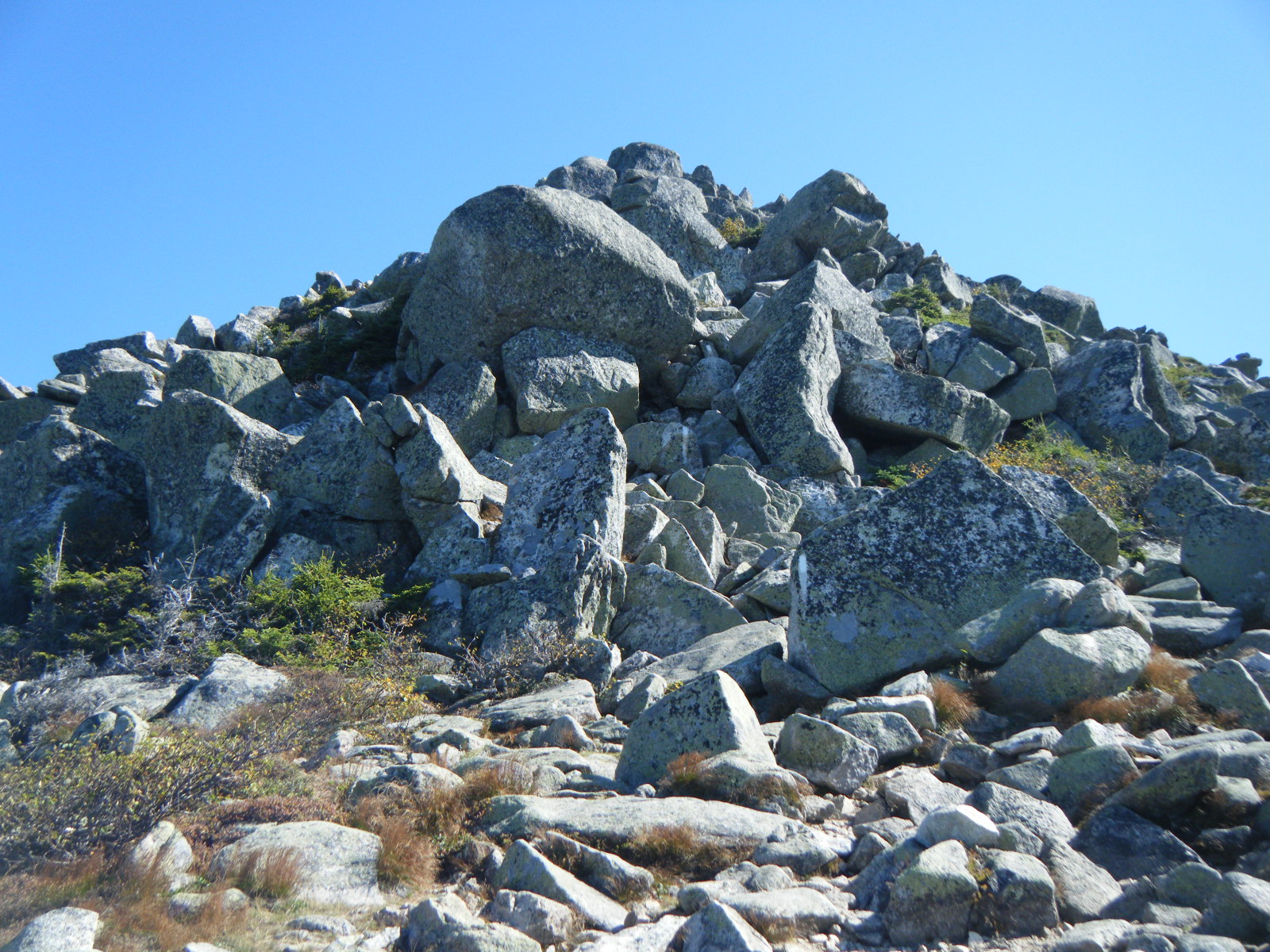
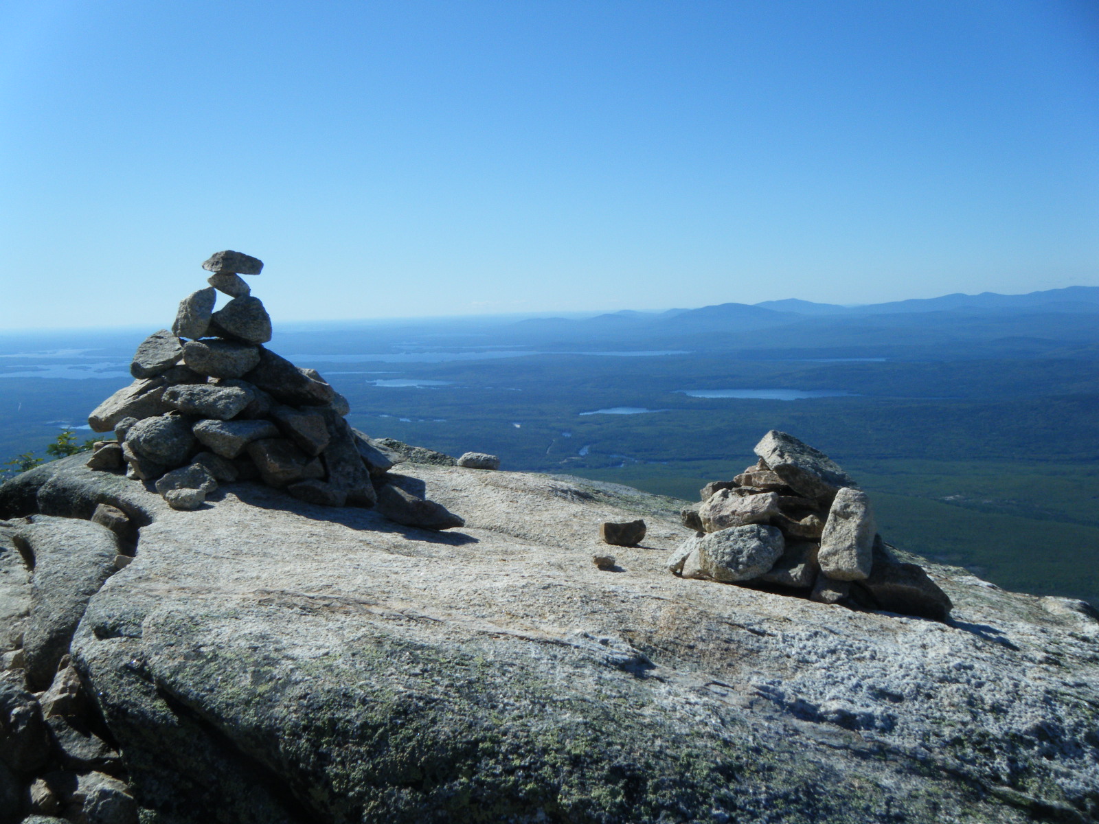
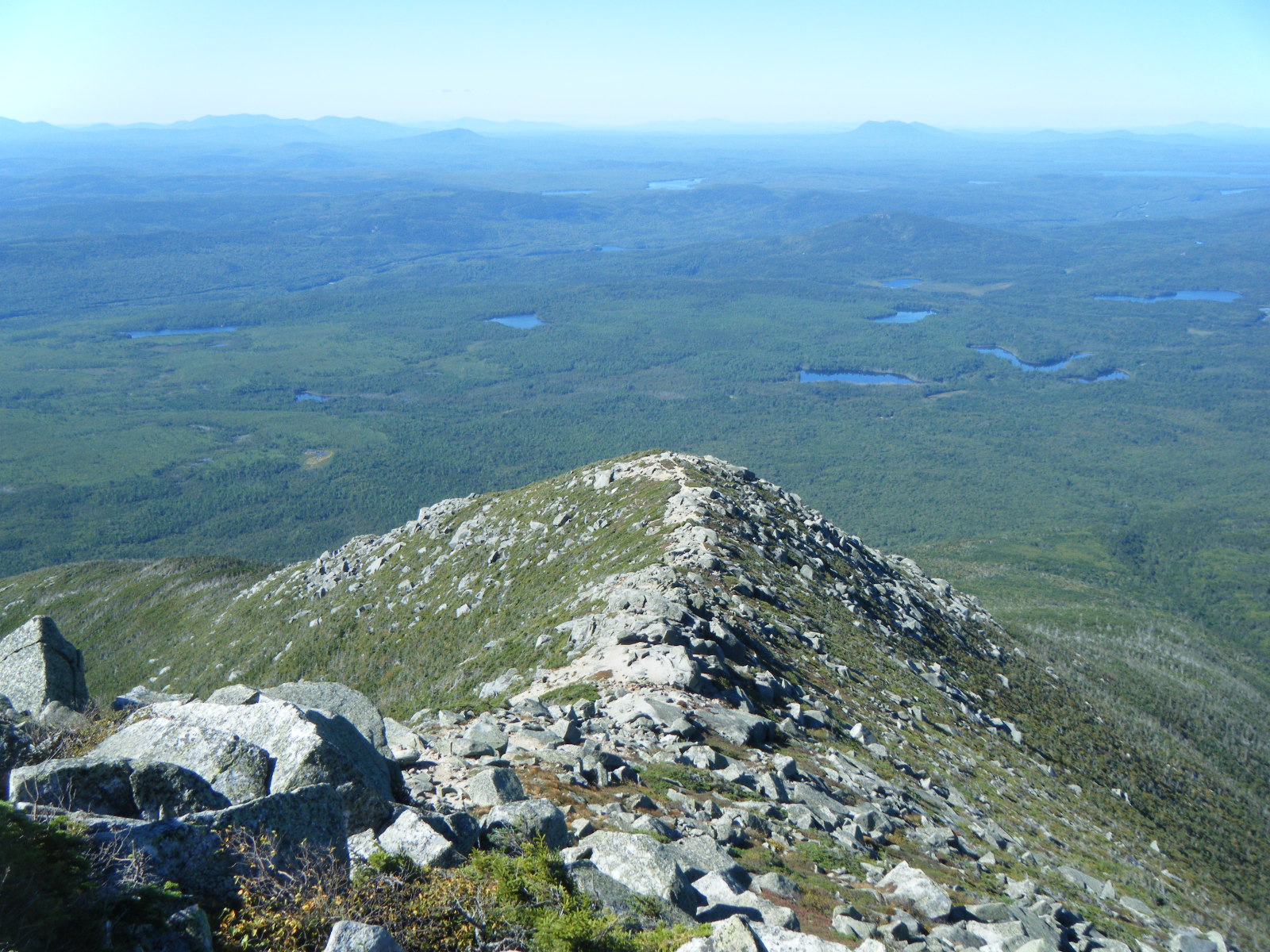
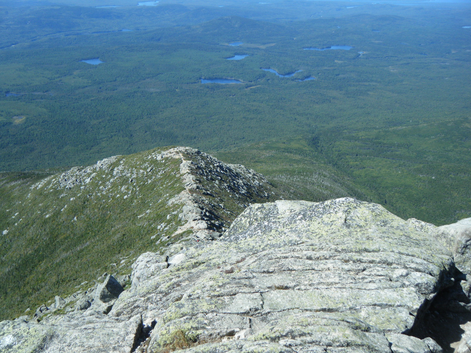
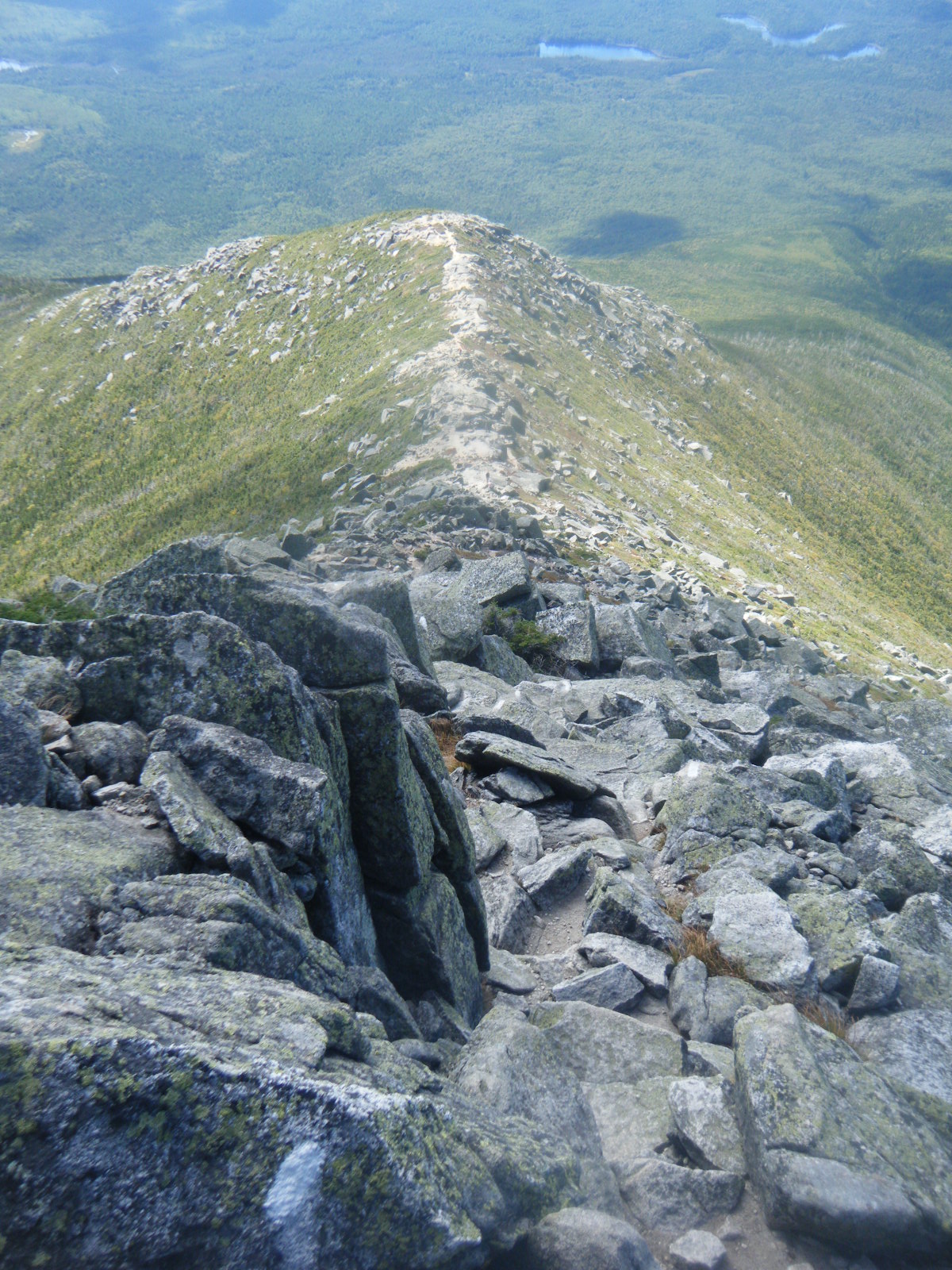
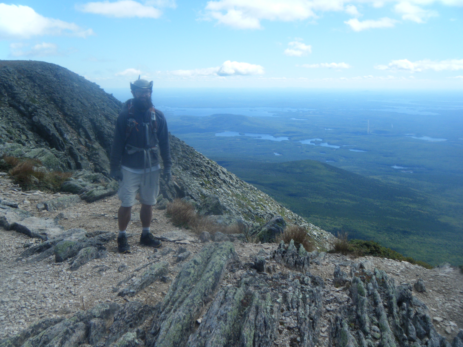
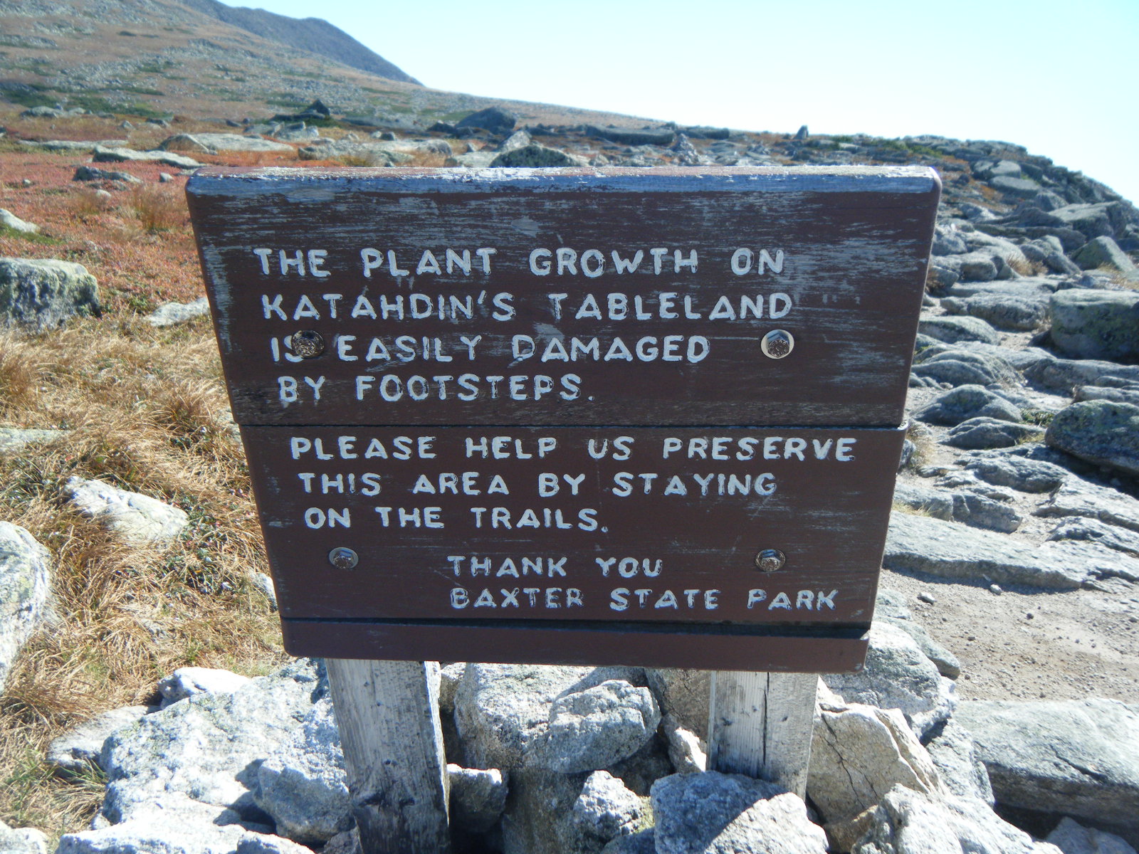
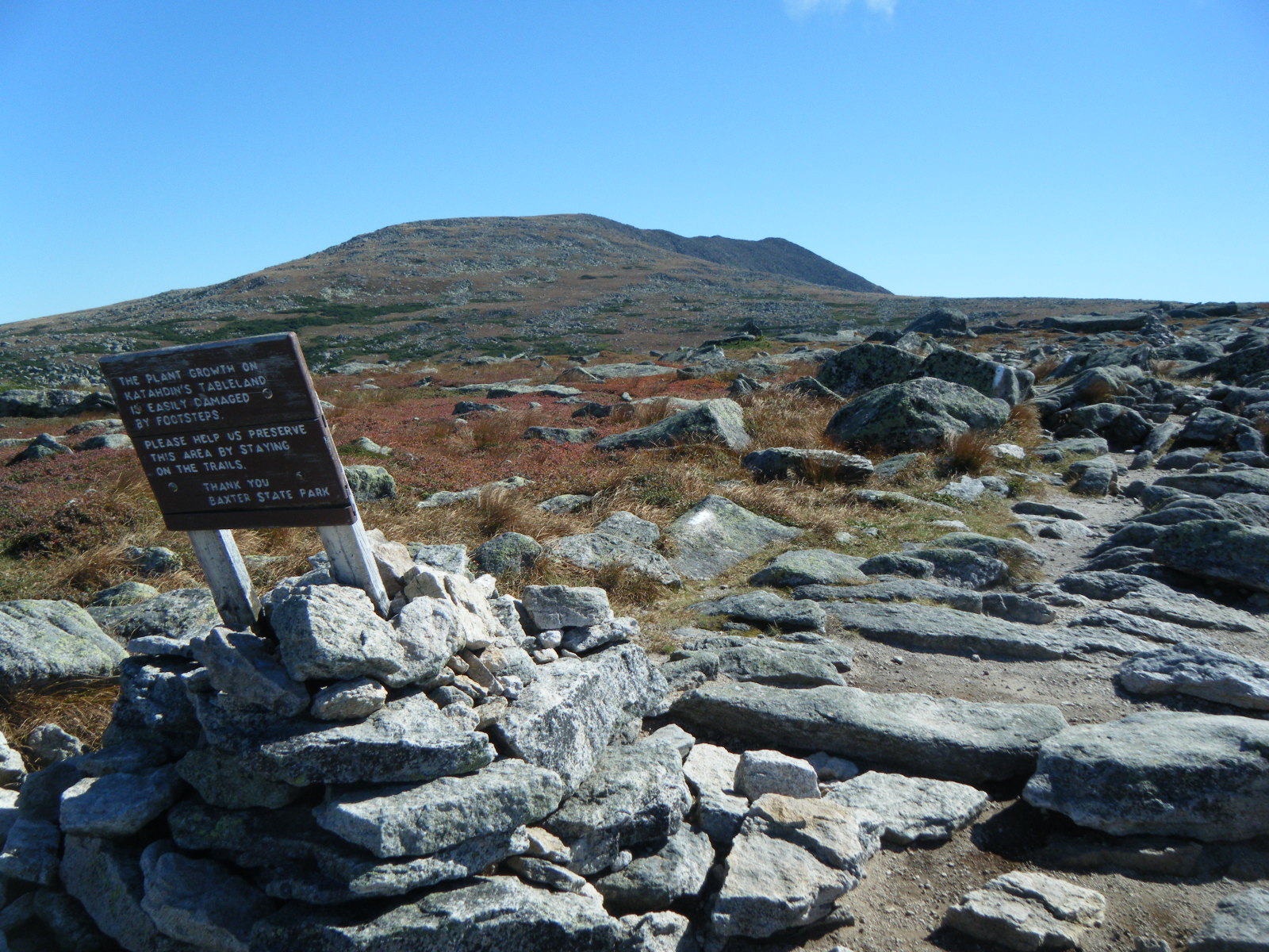
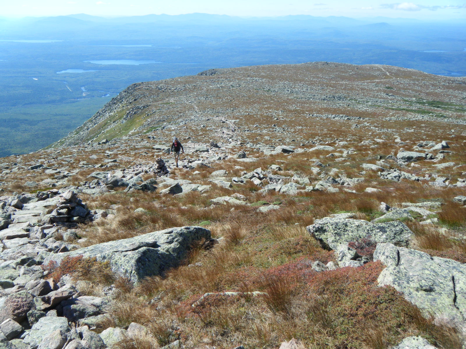
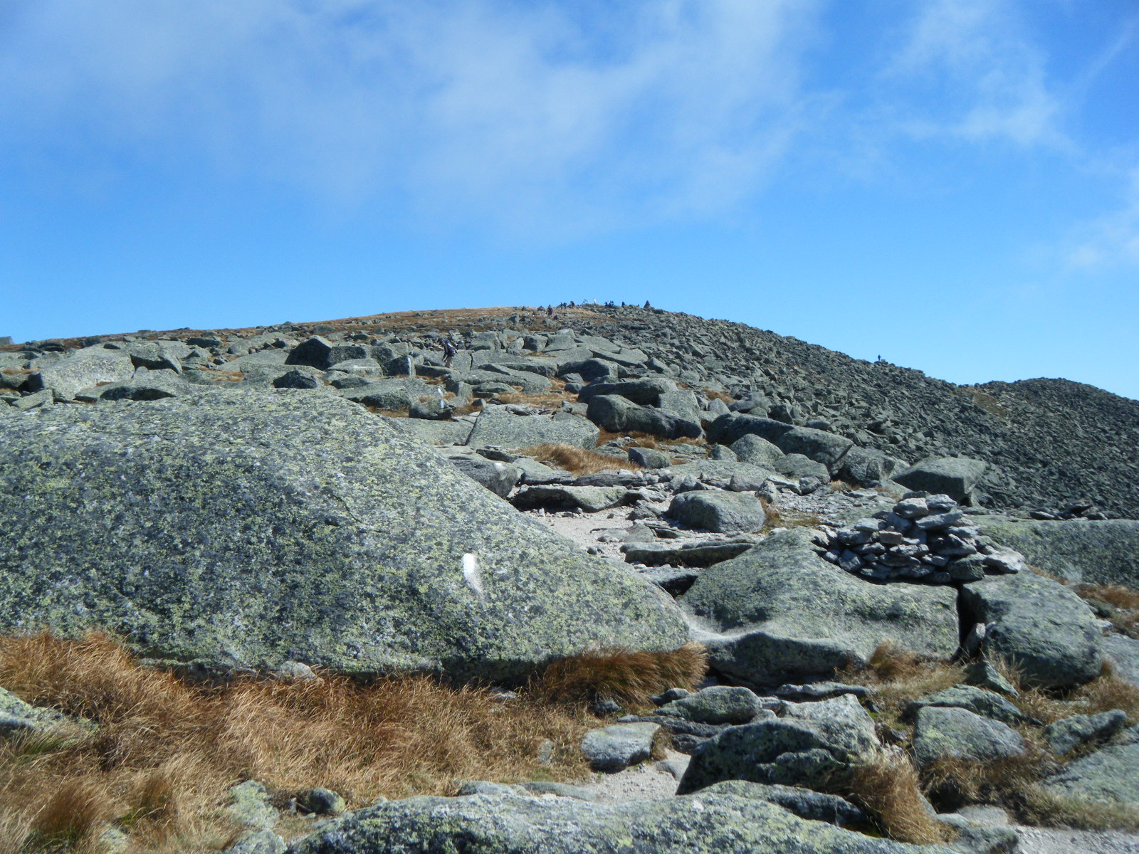
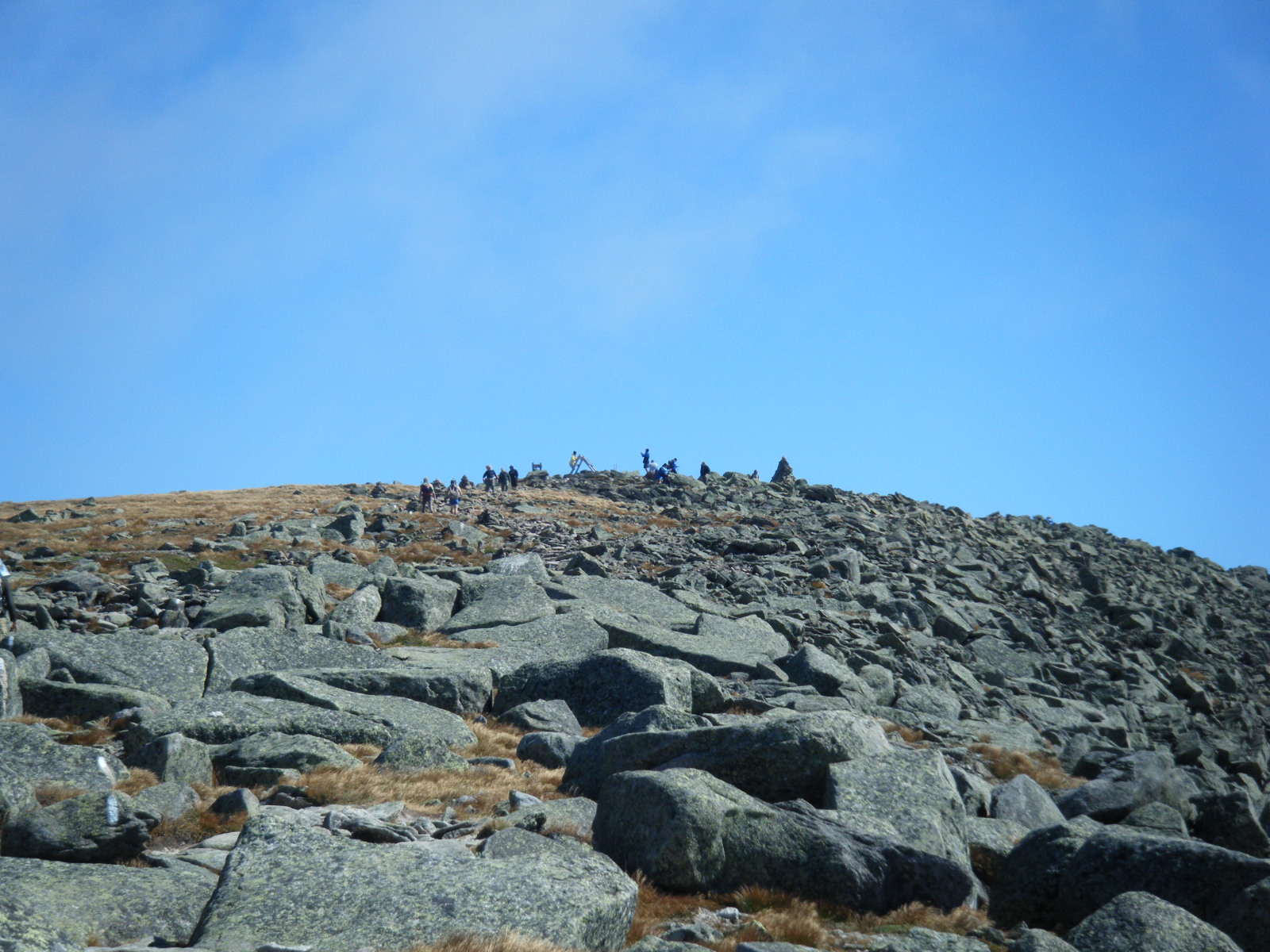
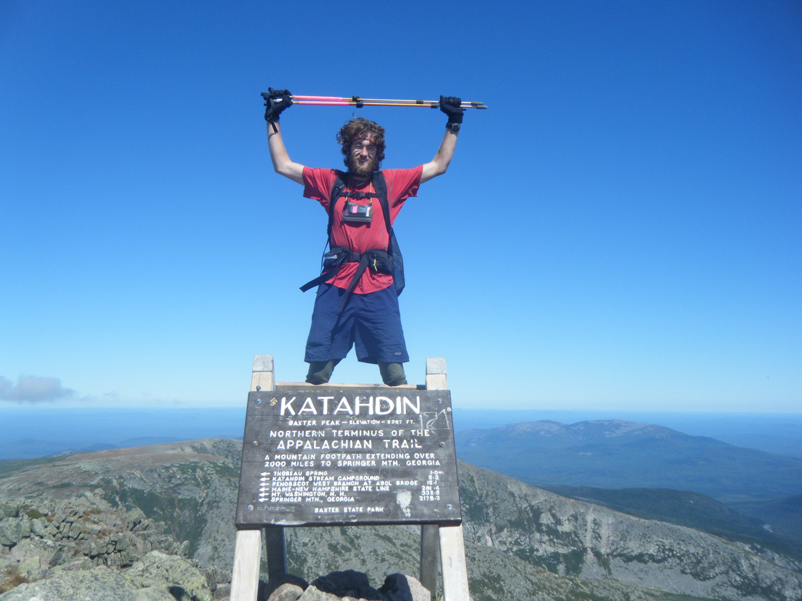
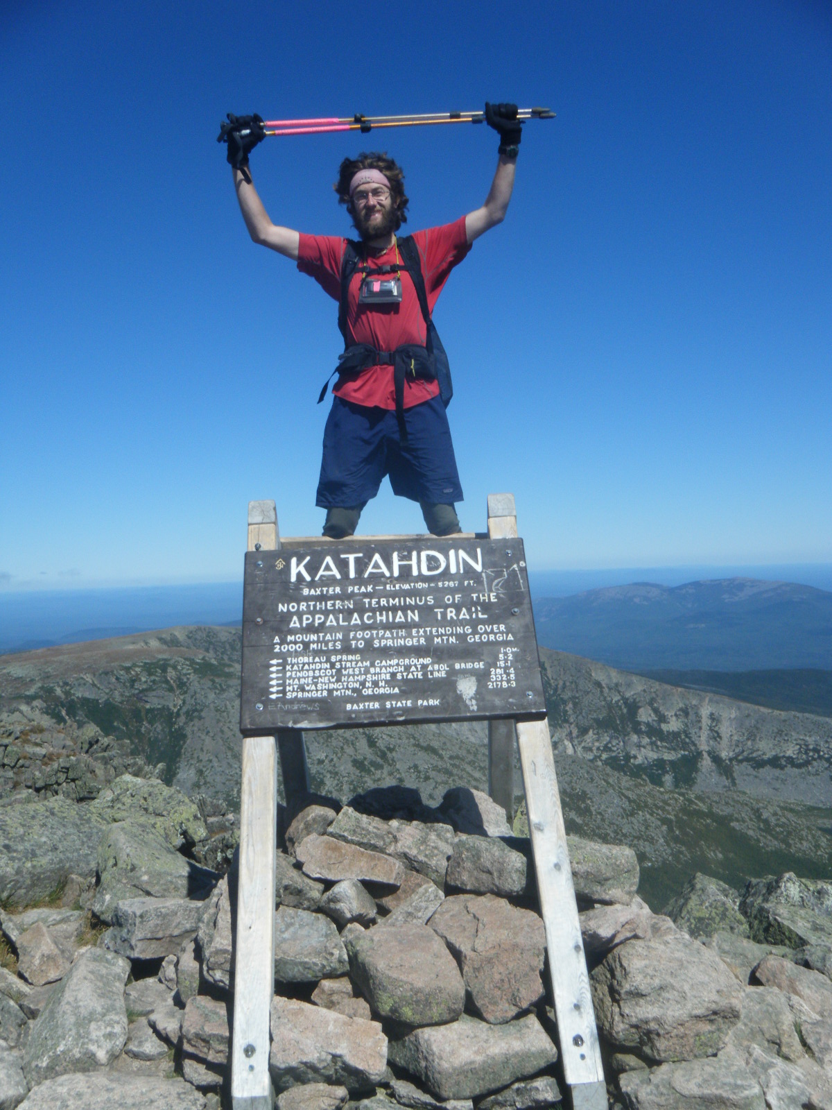
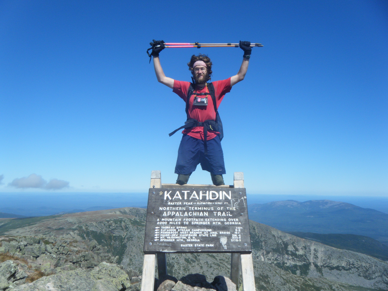
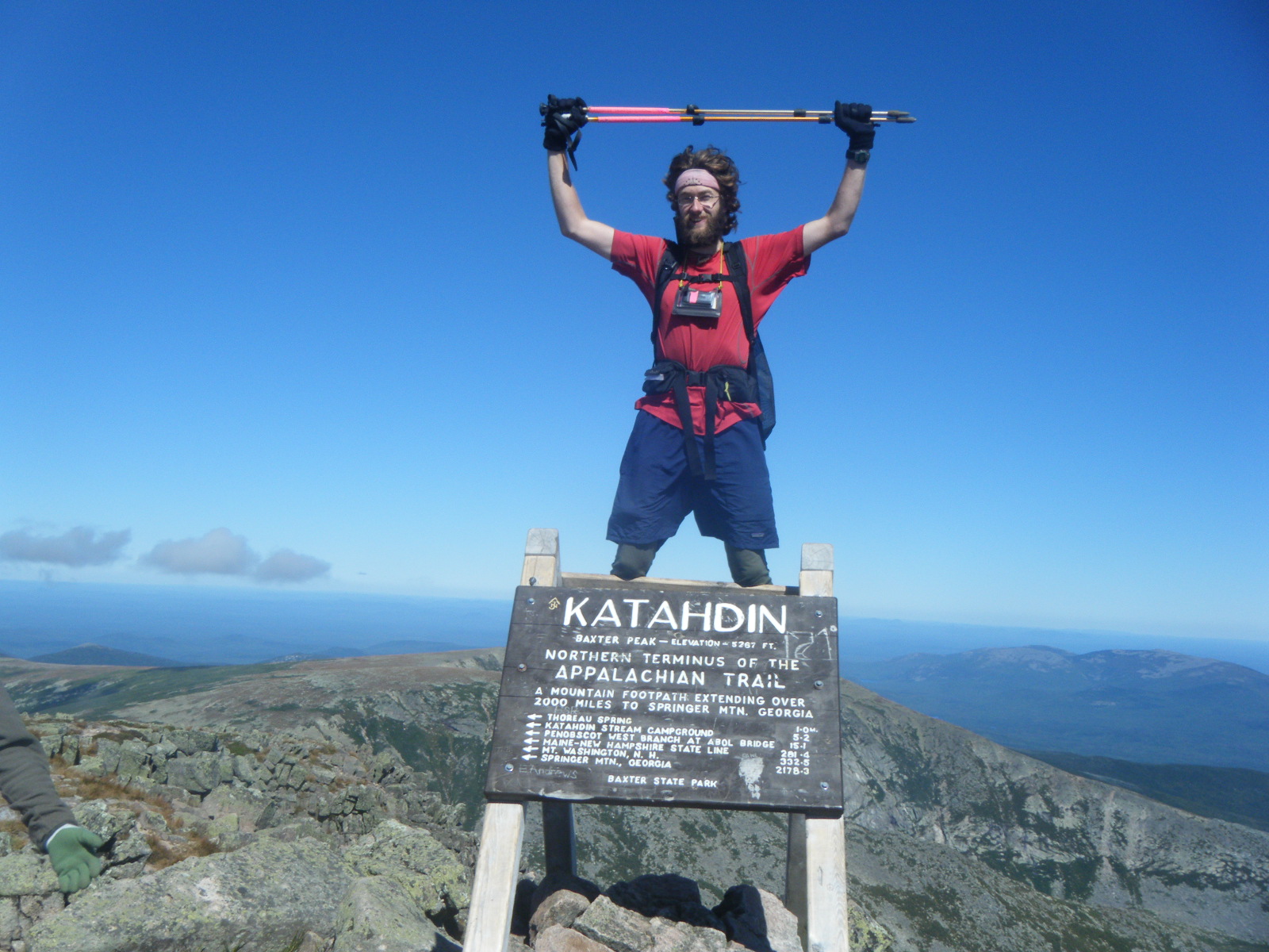
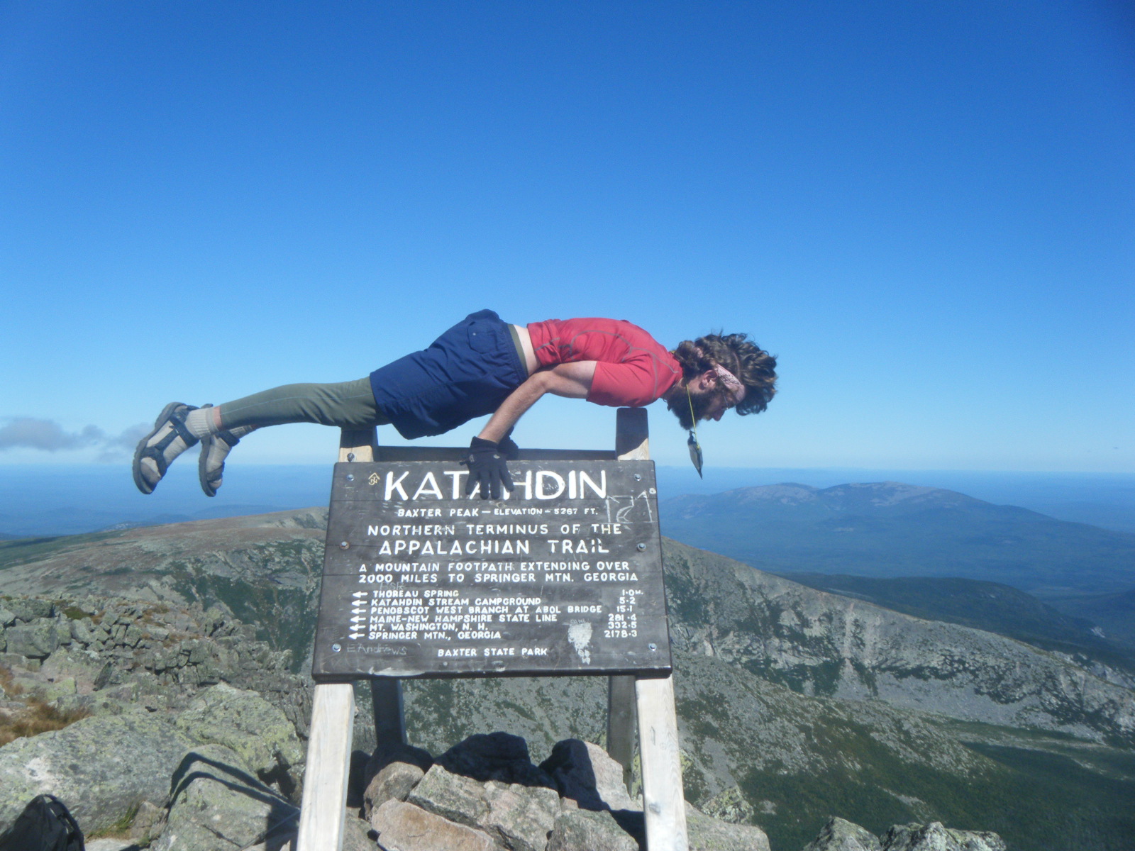
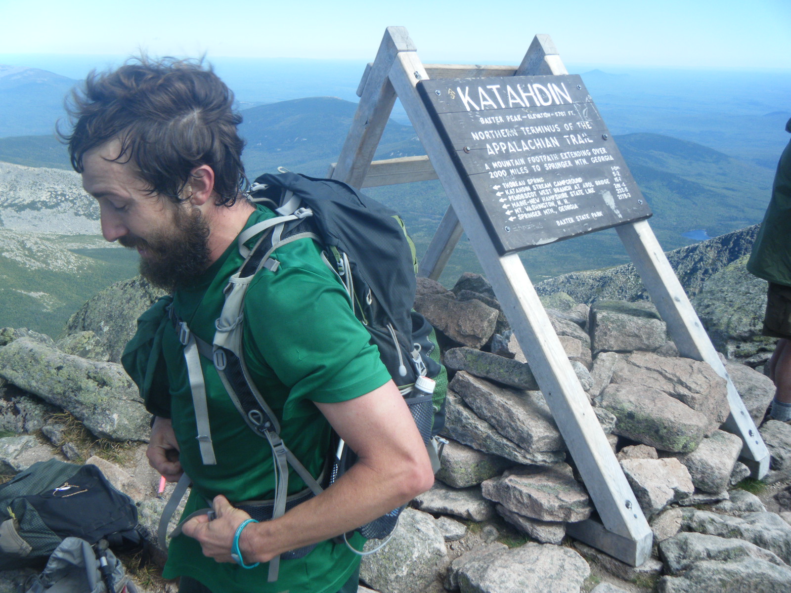
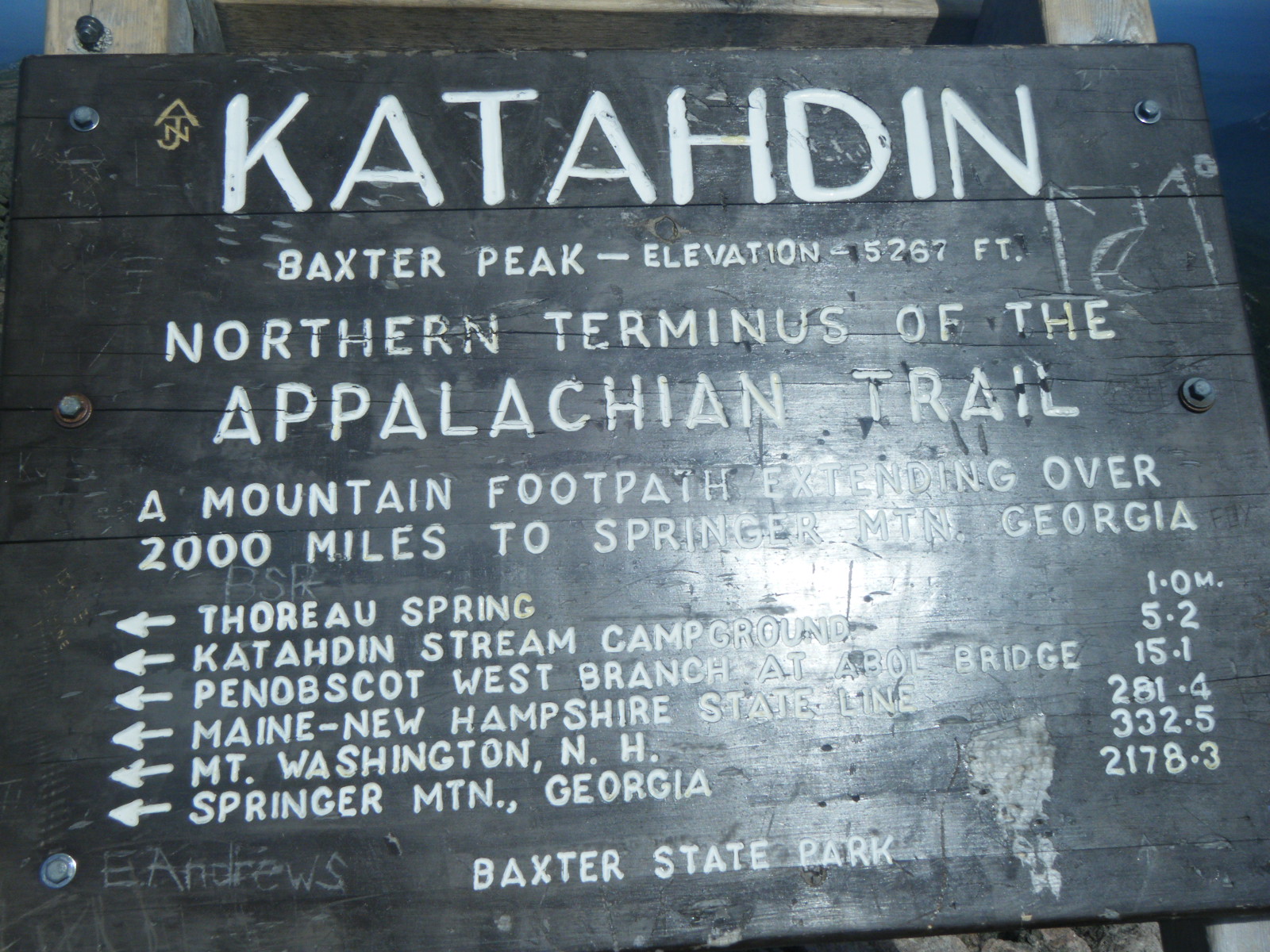
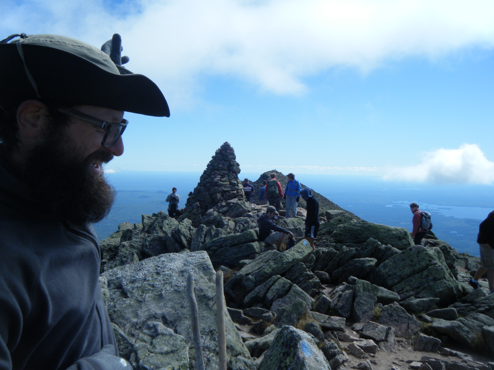
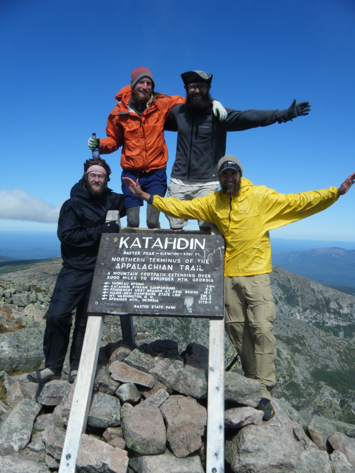
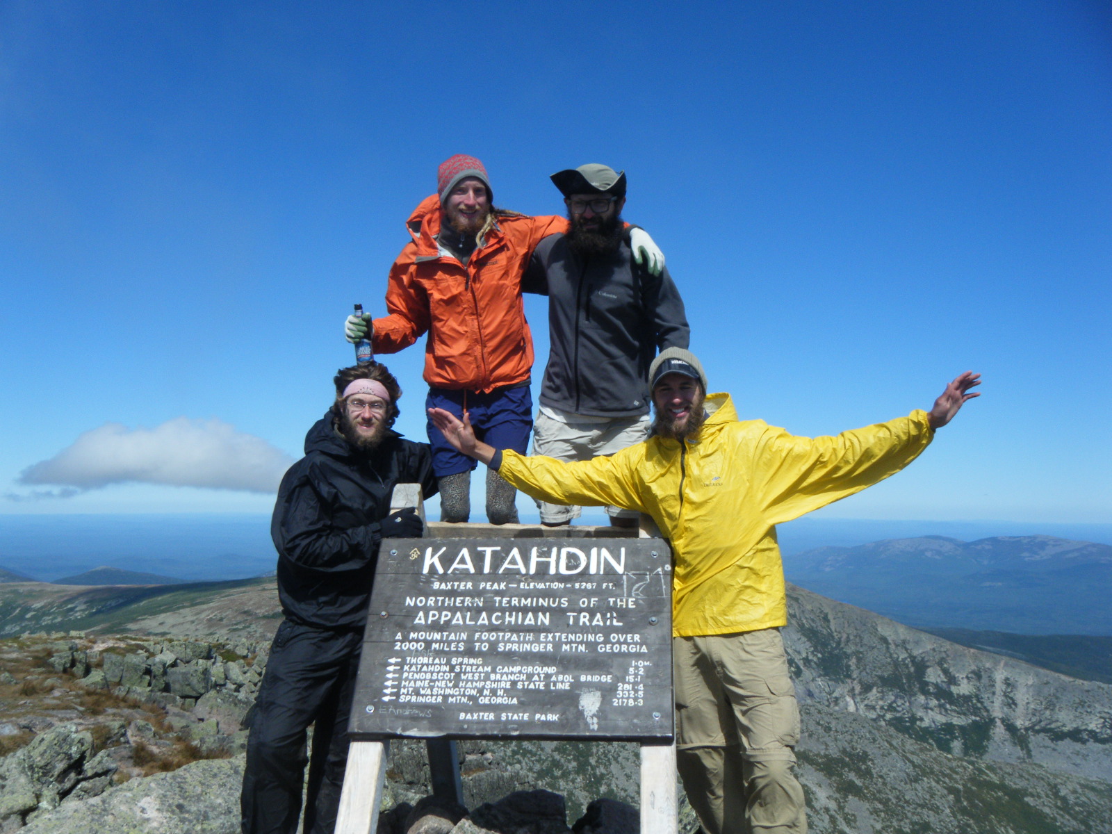
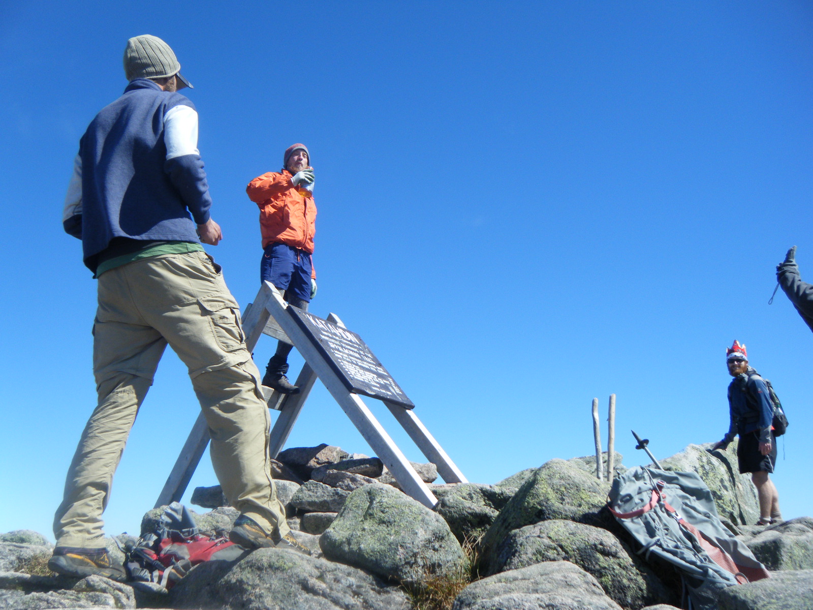
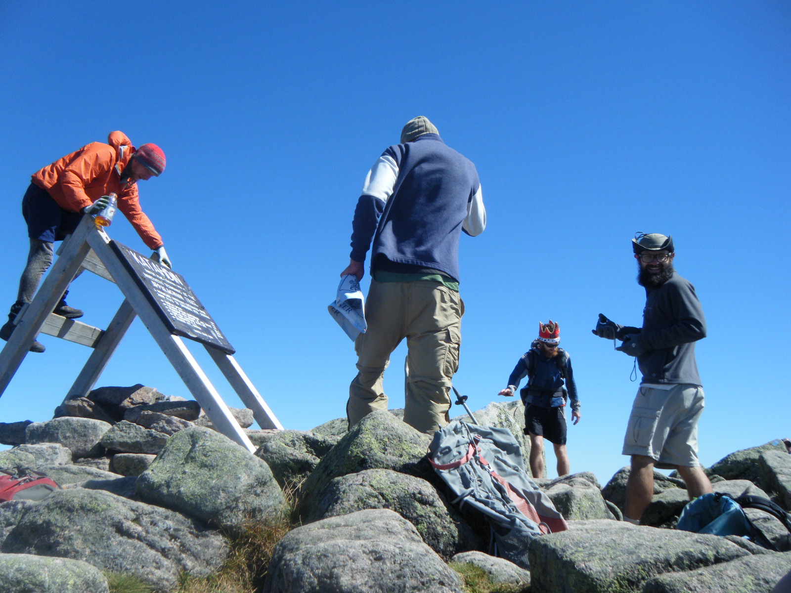
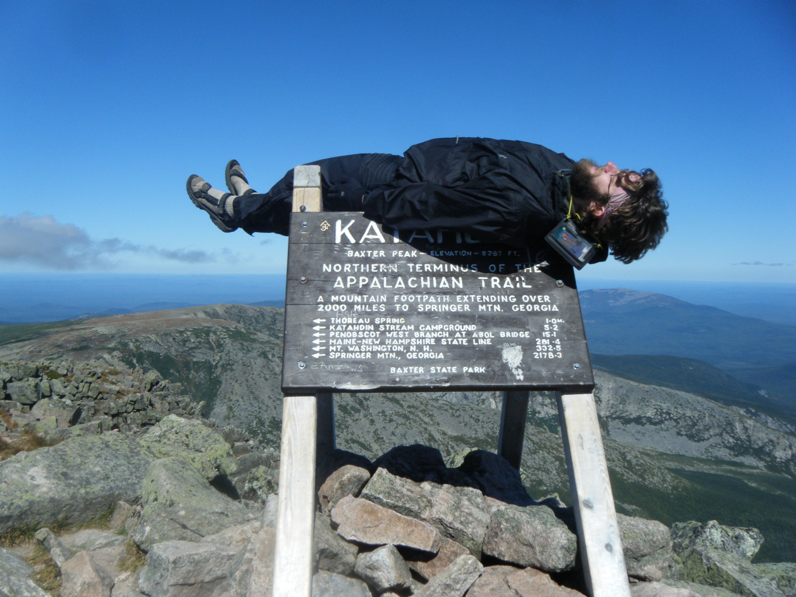
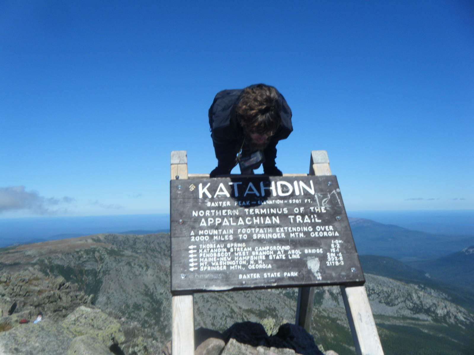
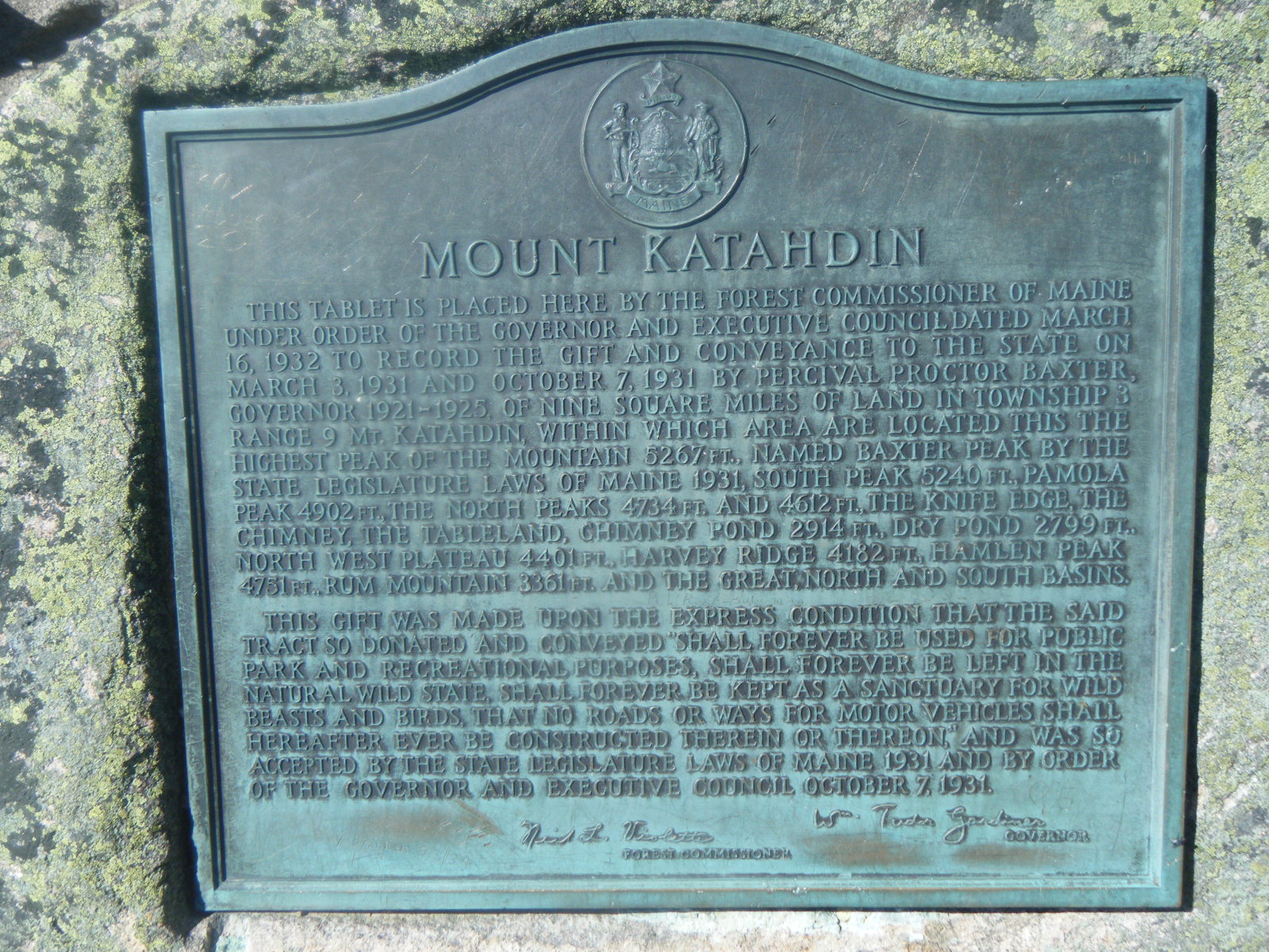
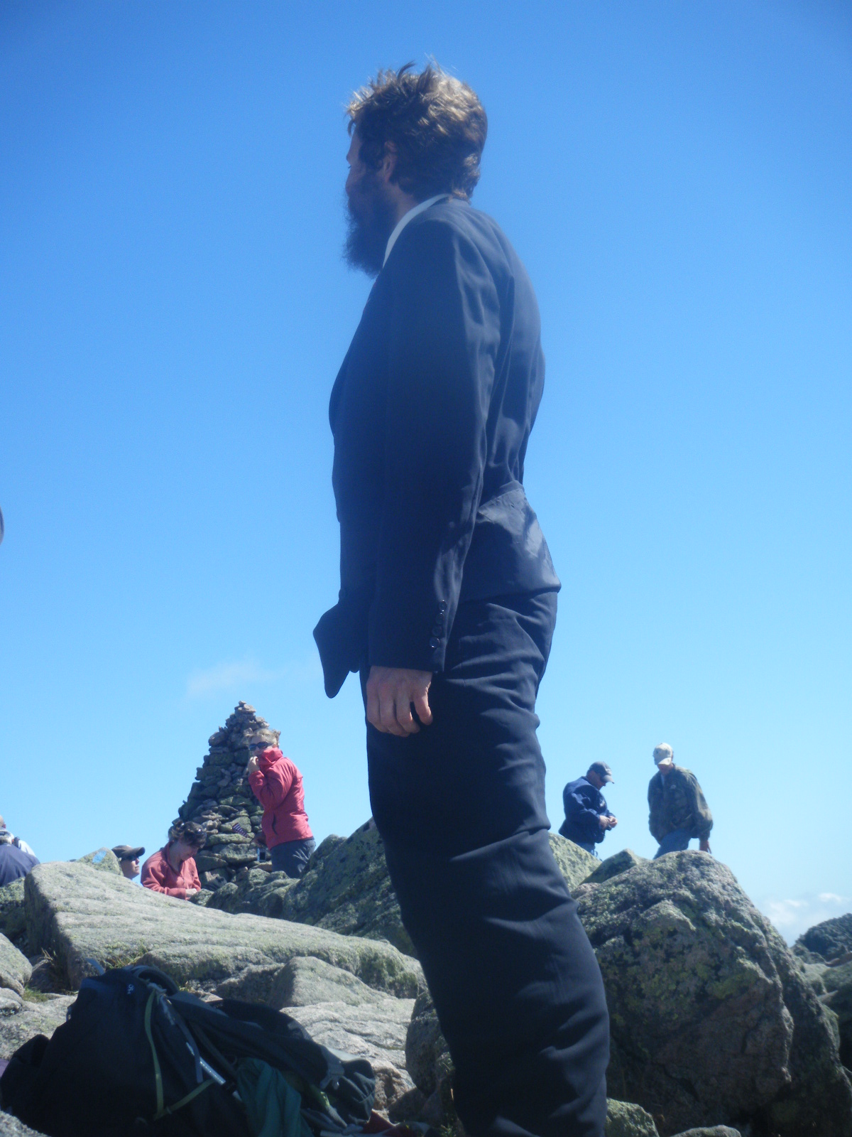
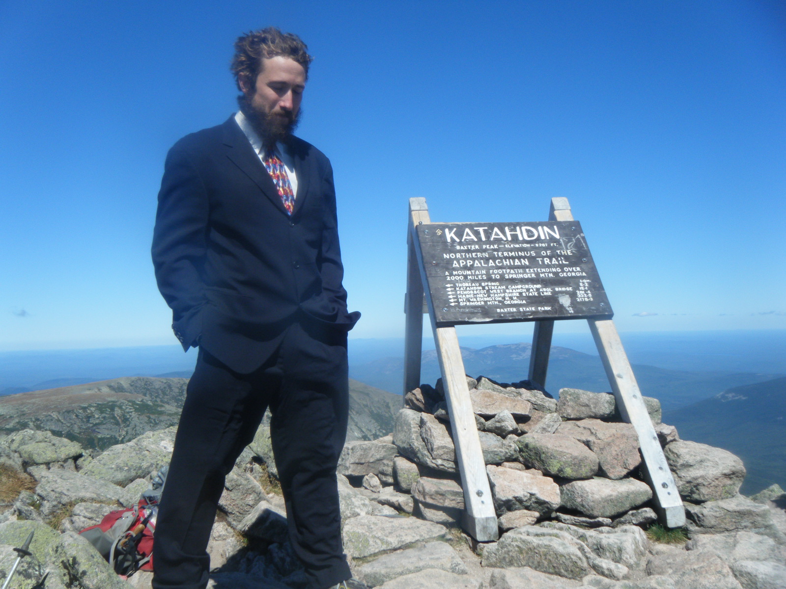
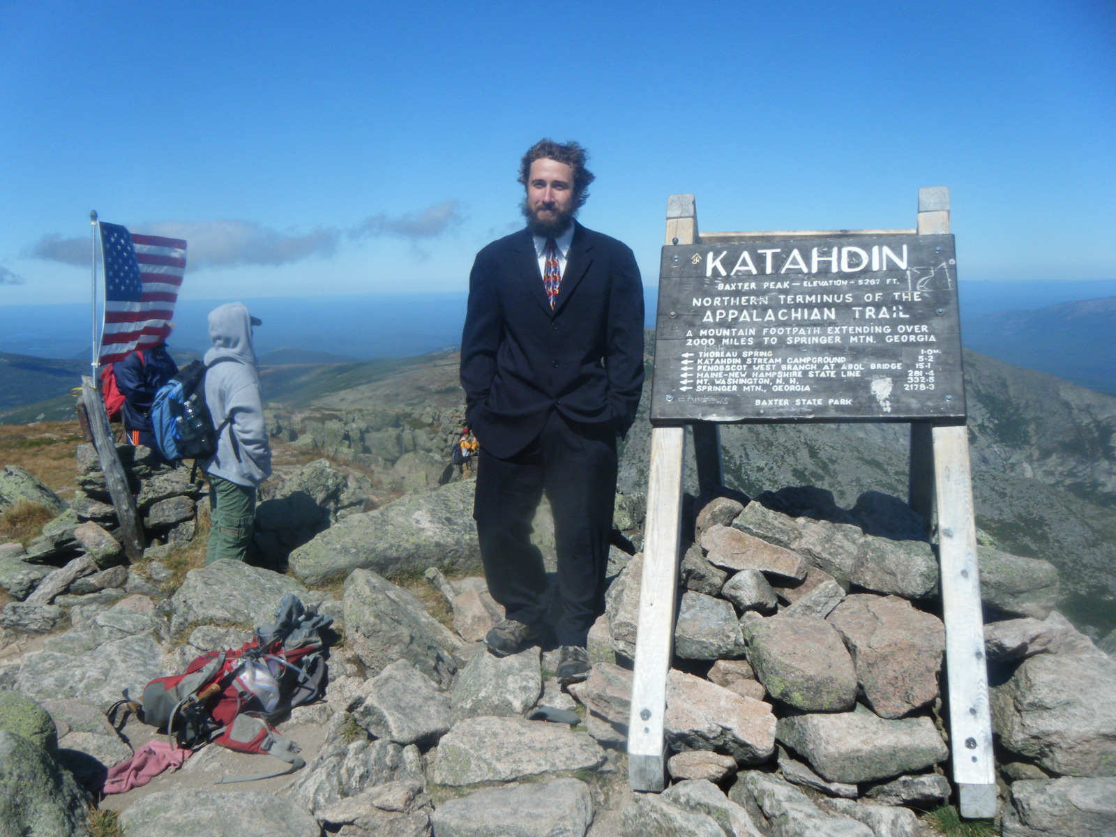
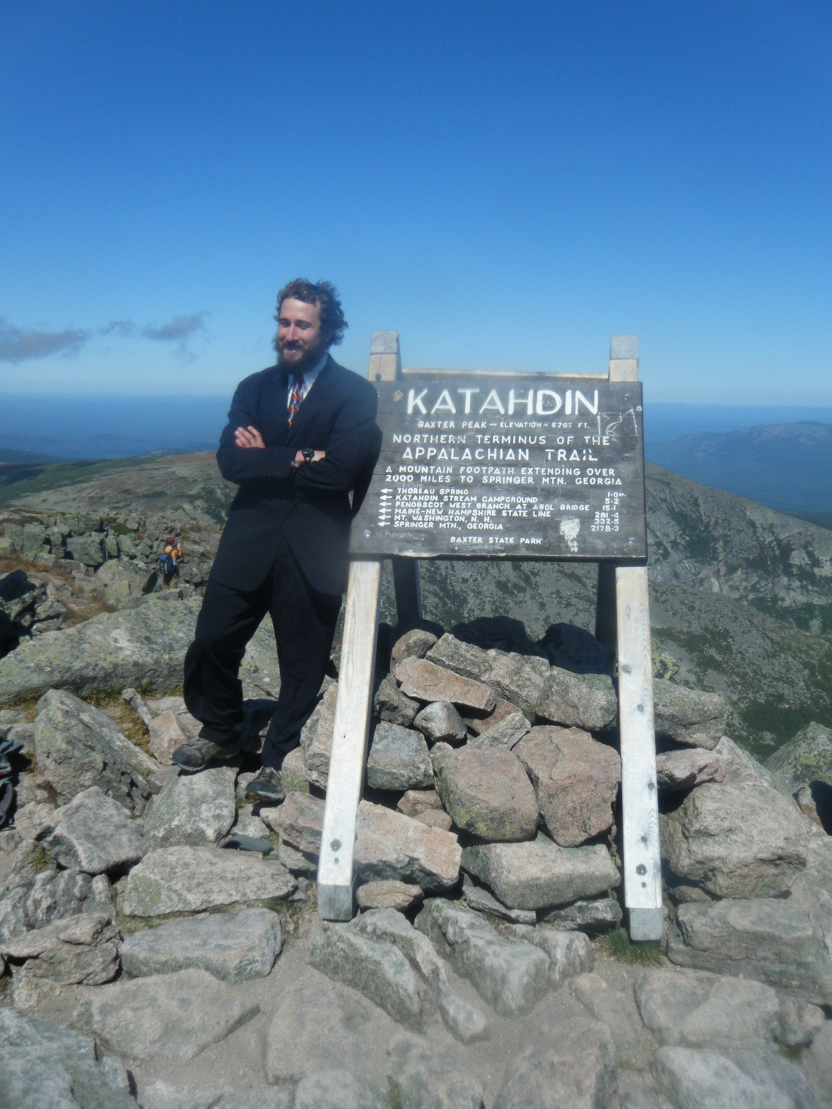
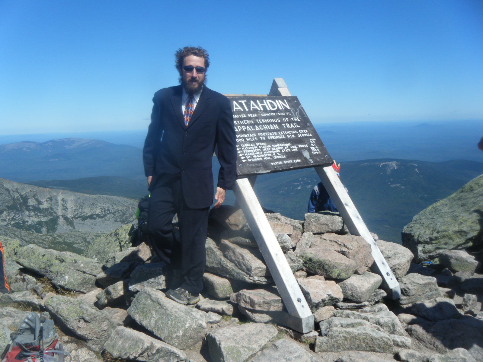
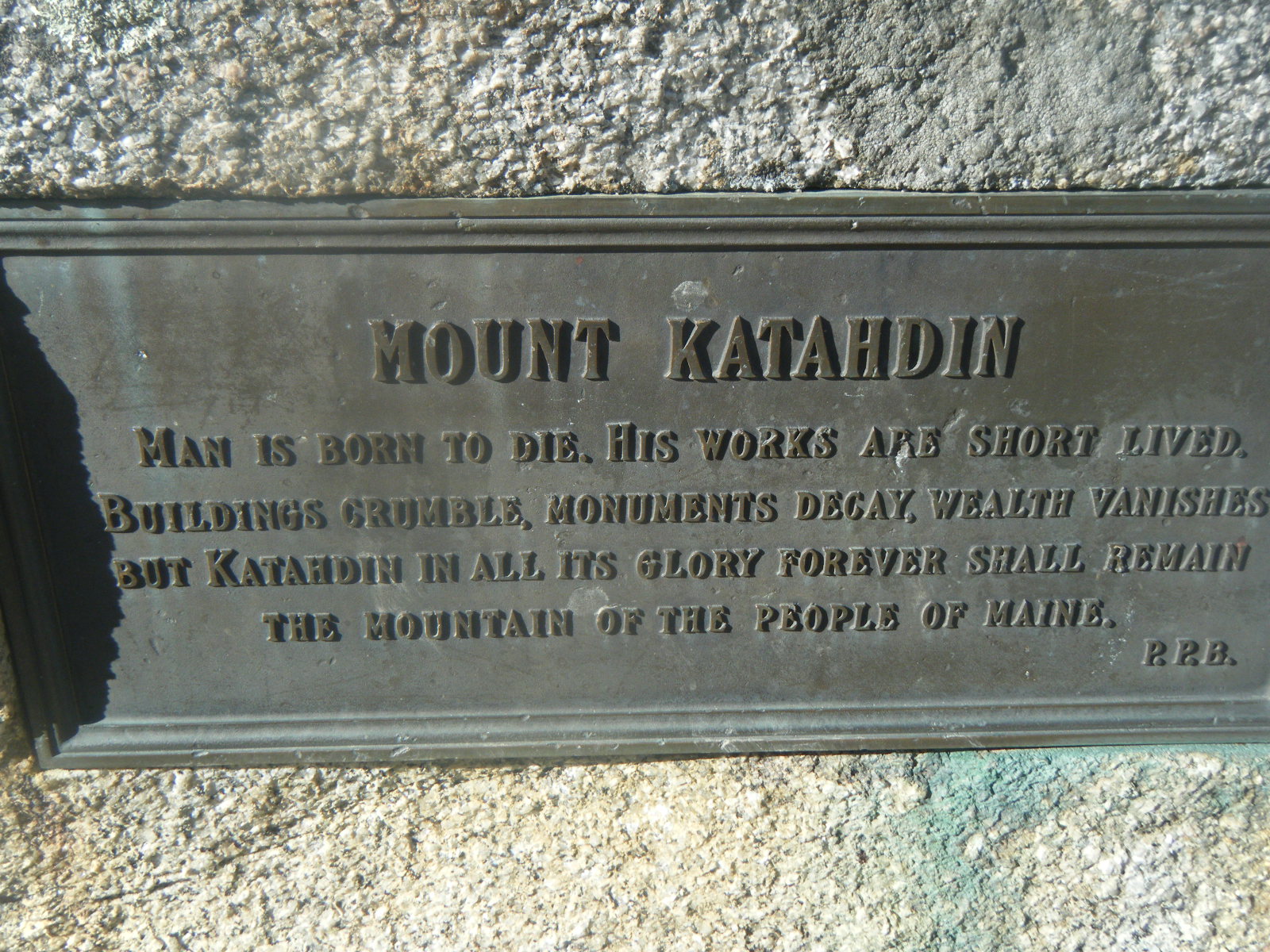
It was freezing when we awoke Sunday morning (September 11). I spent awhile just working up the gumption to get out of my sleeping bag, then I realized I didn’t actually have to get out. I unzipped the foot box a bit, turned the sleeping bag upside down, and wore it with my head poking out the zipper. I was able to move about and stayed completely warm. Two ladies drove into the campsite and provided trail magic in the form of coffee, muffins, and bagels. It was a wonderful way to start our last day on the trail. After breakfast we dumped most of our gear in the ranger station for safekeeping and set out. The first mile went very quickly, then the mountain began to grow steeper. A good portion of the climb was a boulder scramble to rival Mahoosuc Notch. There were a few pieces of iron rebar in the rocks which just barely allowed us to climb up. About a mile from the summit, the mountain leveled off into a section called The Tableland. From this relatively-level section I could just make out people milling about the summit. I hadn’t eaten enough for breakfast so I was completely out of calories by the time I reached this section, so although it was some of the easier trail we’d seen, it was actually rather tough for me to reach the summit. That being said, I did reach the summit. We all did. Jackrabbit, Handstand, Larb and I all leaned on the Katahdin sign at the top and let it sink in for awhile. We took pictures. Handstand drank a beer. So Far and Hollywood showed up and we took more pictures. After a couple hours we were freezing and headed back down. At the base of the mountain I read a plaque I hadn’t noticed on the way up:
Man is born to die. His works are short lived.

Buildings crumble, monuments decay, wealth vanishes,

but Katahdin in all its glory forever shall remain...


There are not words to describe how proud we are of you. This was a life experience that will be hard to beat but we wish you all the best in your journey along the trail after the AT. Love you!!
Congrats! Glad you 4 made it safe and sound! I hope our paths cross again sometime in life!
Congrats Pink Floyd. We sheltered with you some in the Smokies on our section hike. Been following your journal ever since.
Paul and Lulu, I’m glad to see you take an interest. Thanks for the support, and thanks for sharing the steak!
I’ve been reading your journal since the beginning. Thanks for sharing your experiences! You have my respect and admiration!!
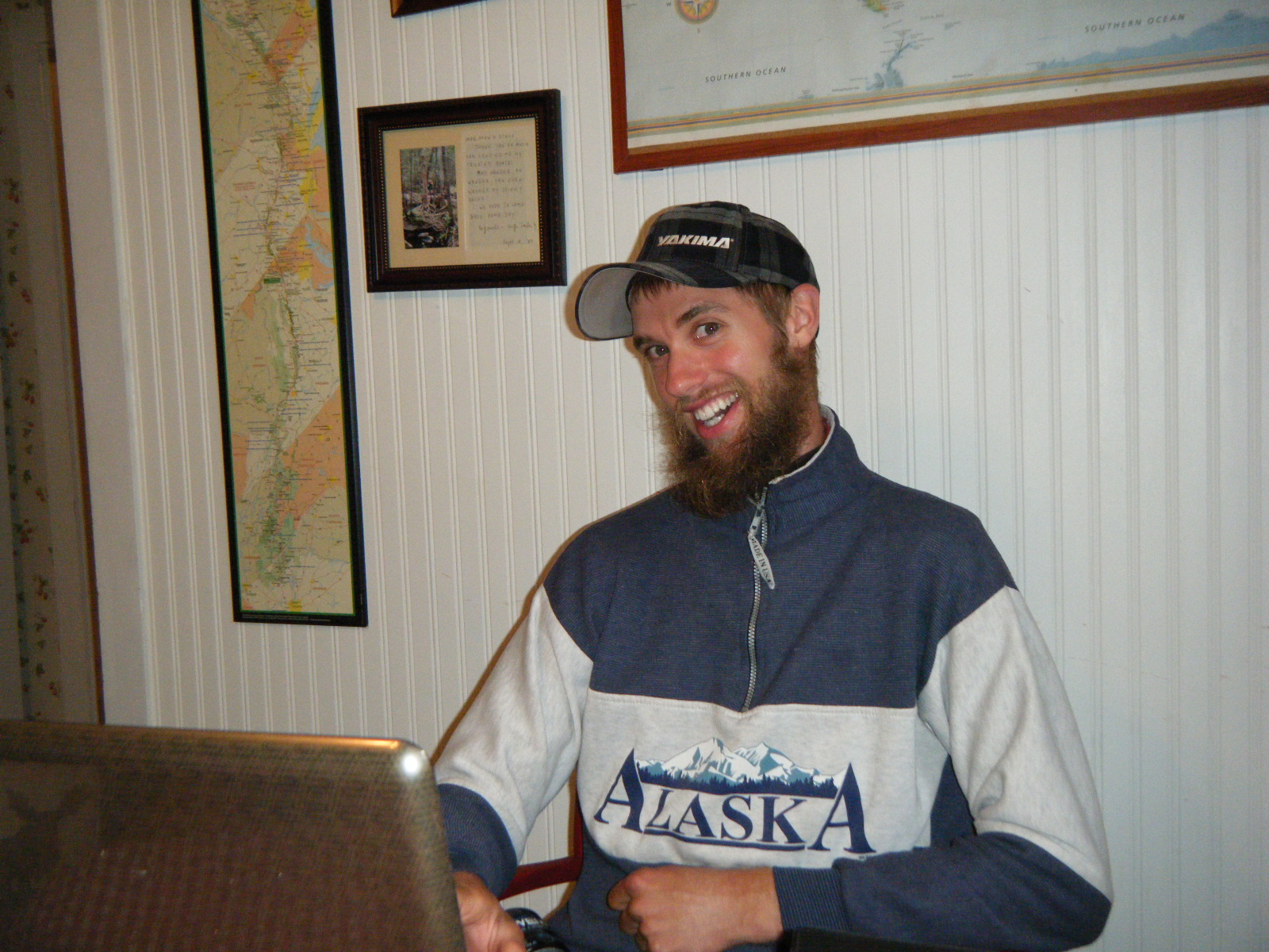
Hey Pink Floyd! I’m Larb’s friend who hiked with you guys for part of a week. I have been following the Comedy Central adventures on your blog ever since. Thanks for writing! I am so glad to hear that you all made it!
Hi Pink Floyd,
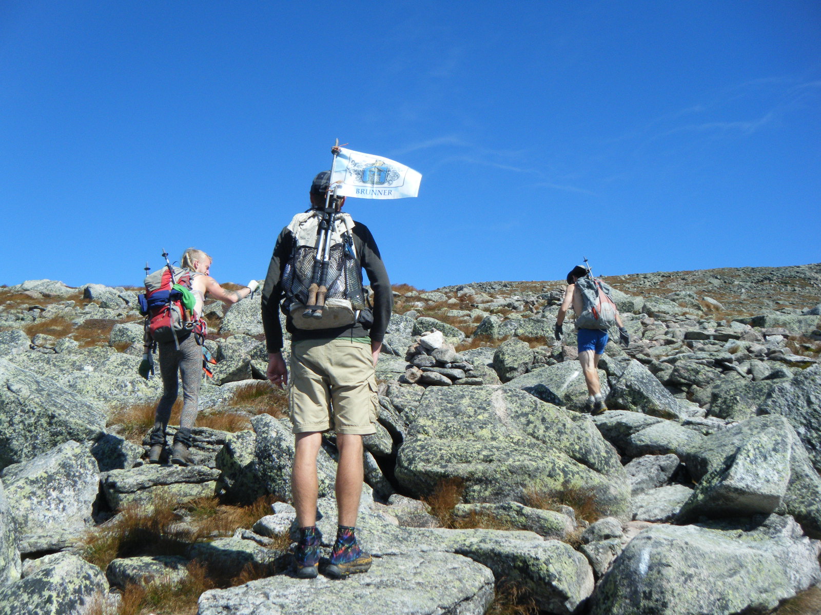
we have been following your journal and thus Comedy Central’s adventures ever since you first met up with Handstand. It is almost as though Handstand took his own personal scribe and photographer along on the AT, so we’ve got lots of nice photos with Handstand in them, whereas his own photos mostly show you, Larb and Jackrabbit! He is flying back home to Munich from Boston on Tuesday, September 27th.
So our heartfelt thanks for sharing everything, and we wish you and your AT friends good luck and great memories for the future. And good hiking!
Yes! Pictures are sweet and the writing is awesome. I love that you ended it with that quote.
I miss you and hiking, have you started thinking about the PCT yet?
Congratulations! You are one awesome nephew!