It’s been an eventful week or so. Here are a few of the milestones since my last update:
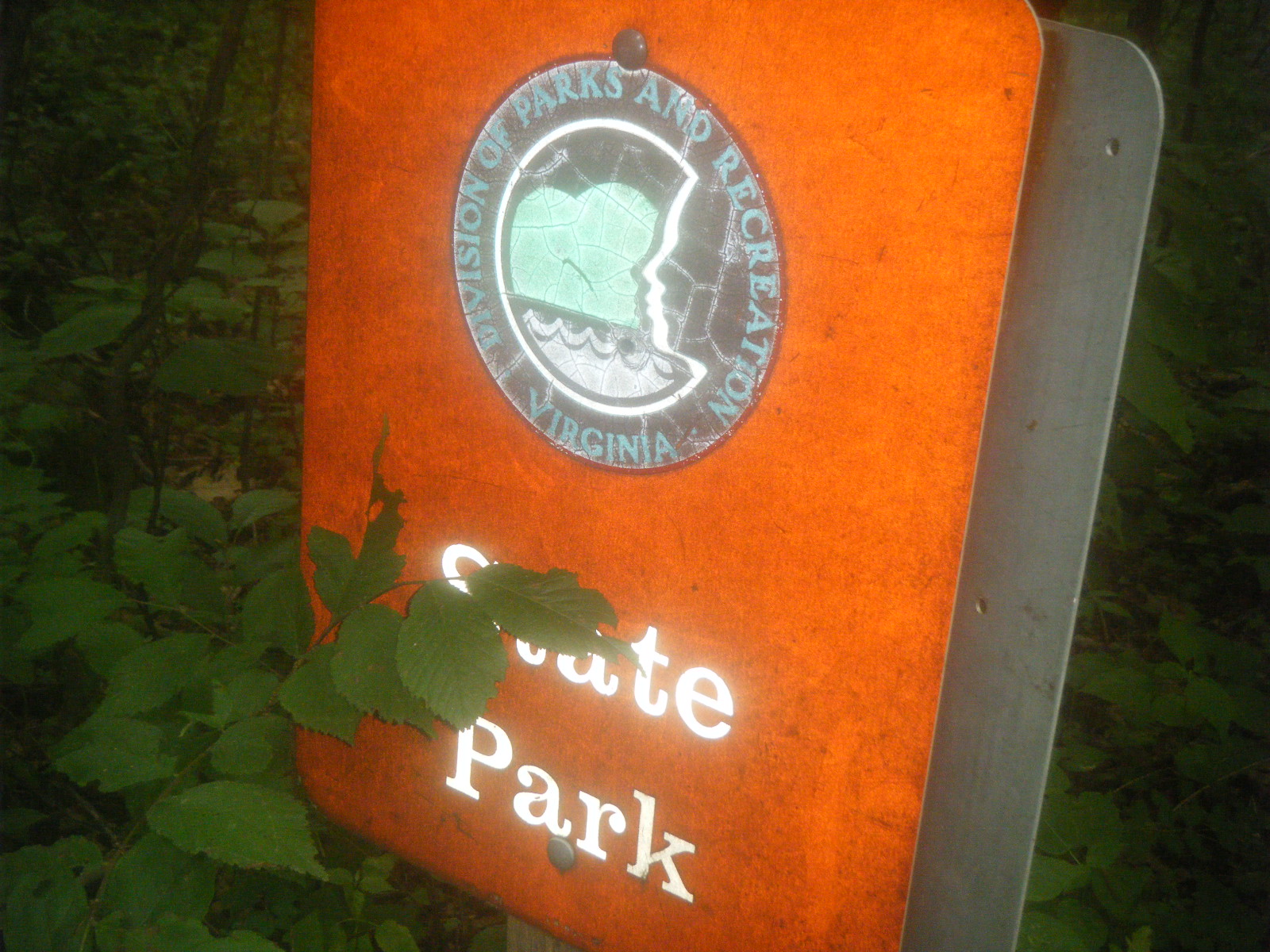
- Done with Virginia
- Done with West Virginia
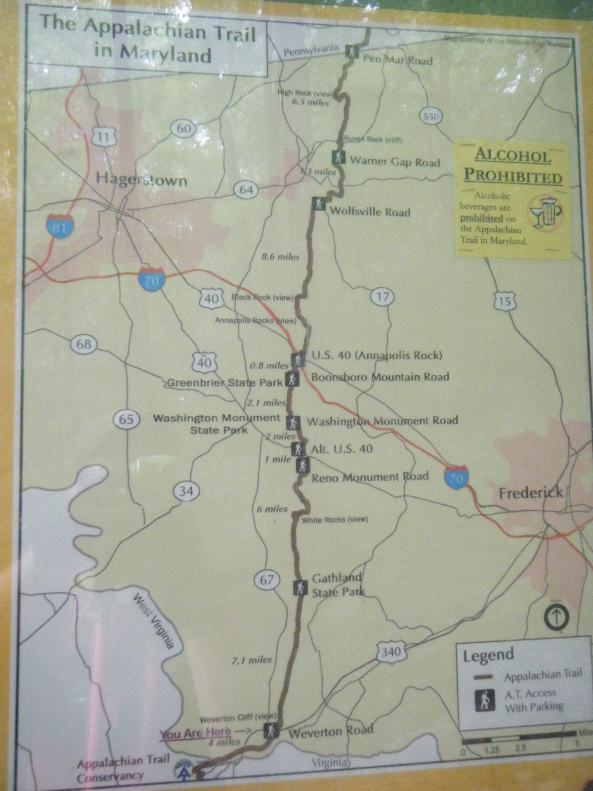
- Done with Maryland
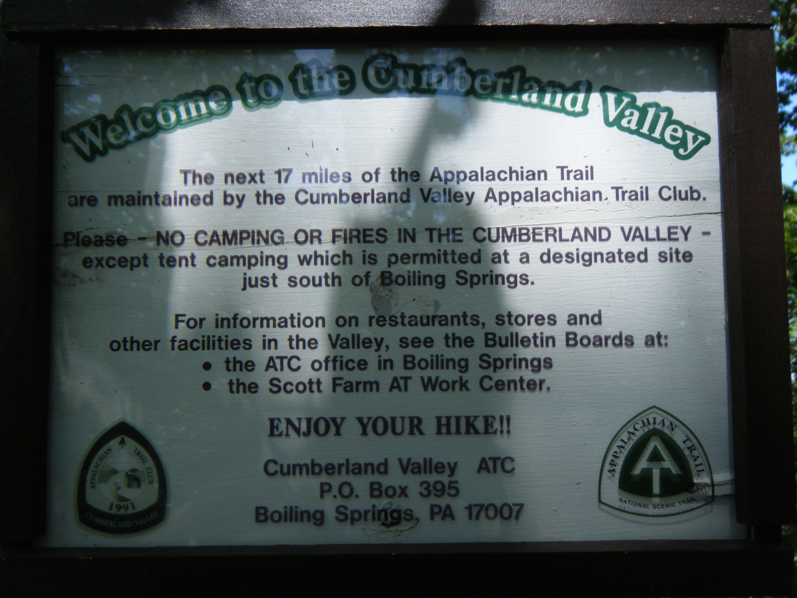
- In Pennsylvania
- Surpassed 1,000 miles
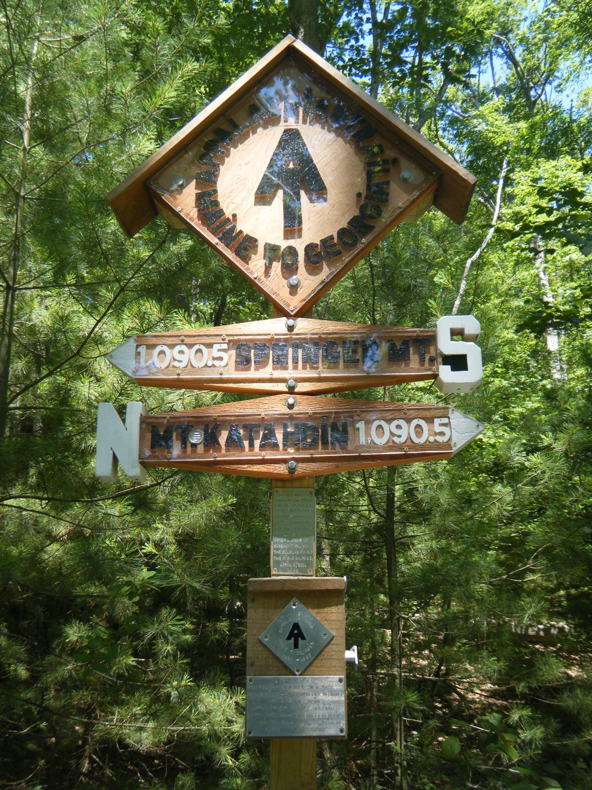
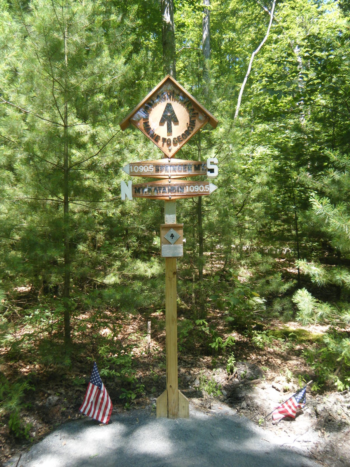
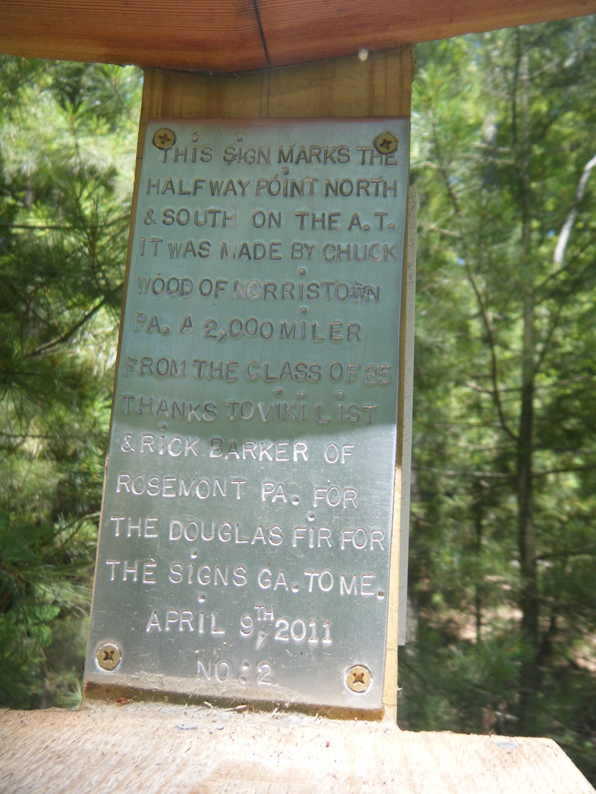
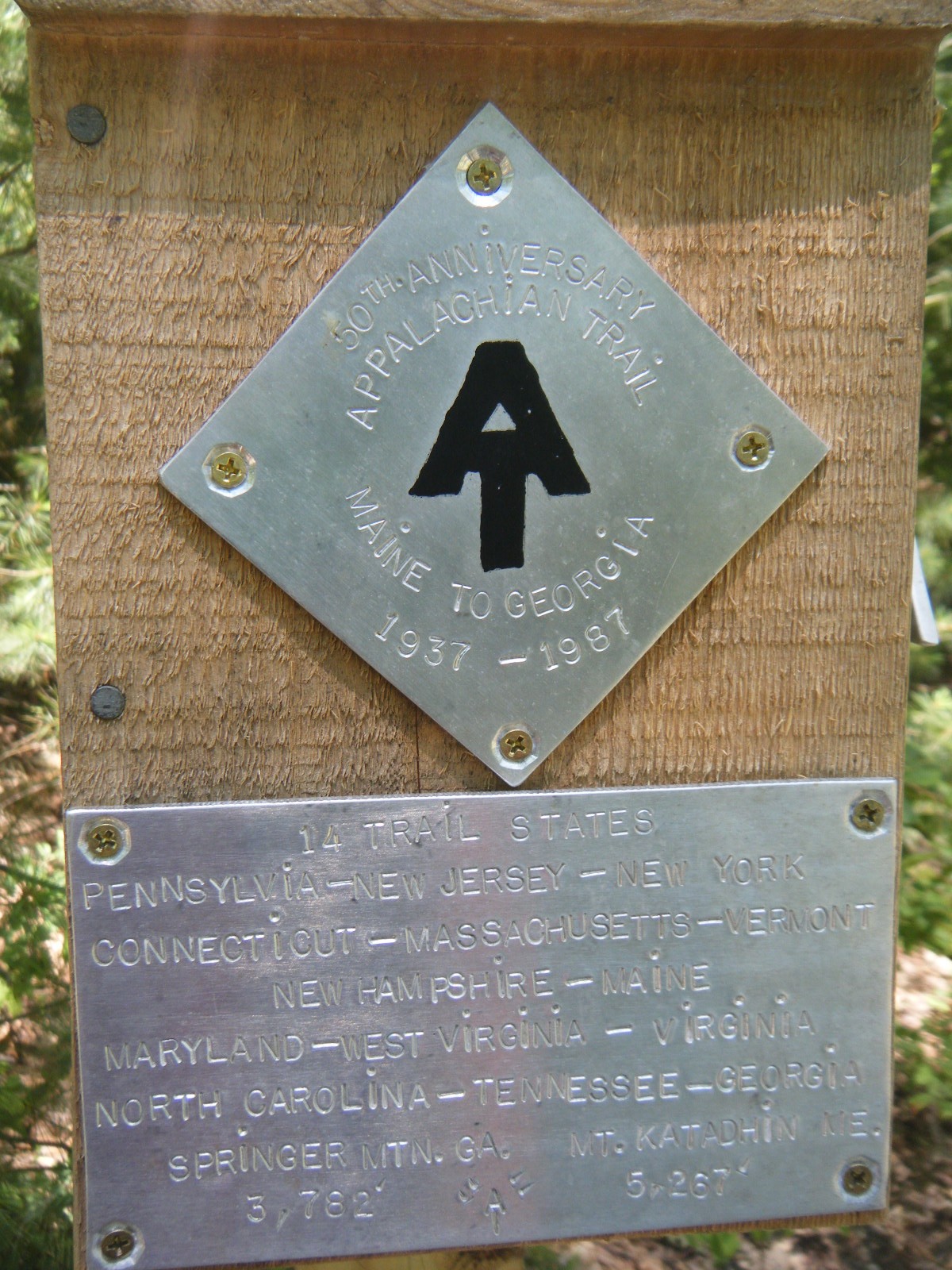
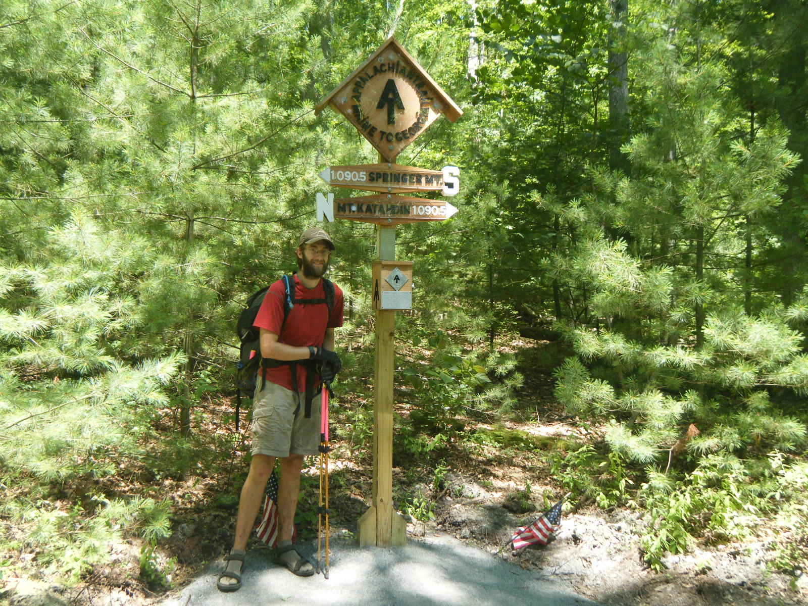
- Passed the midpoint (1,090.5)
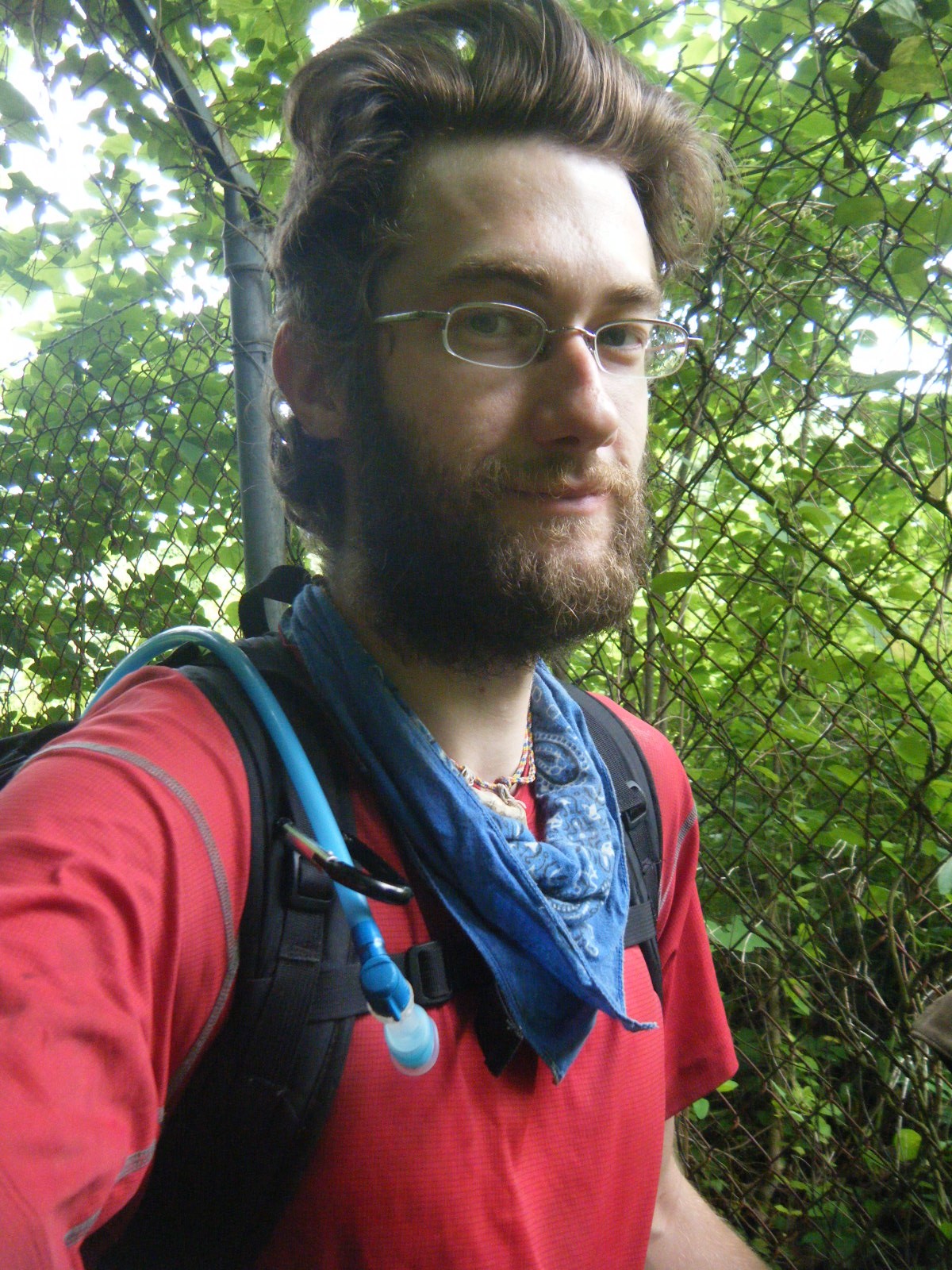
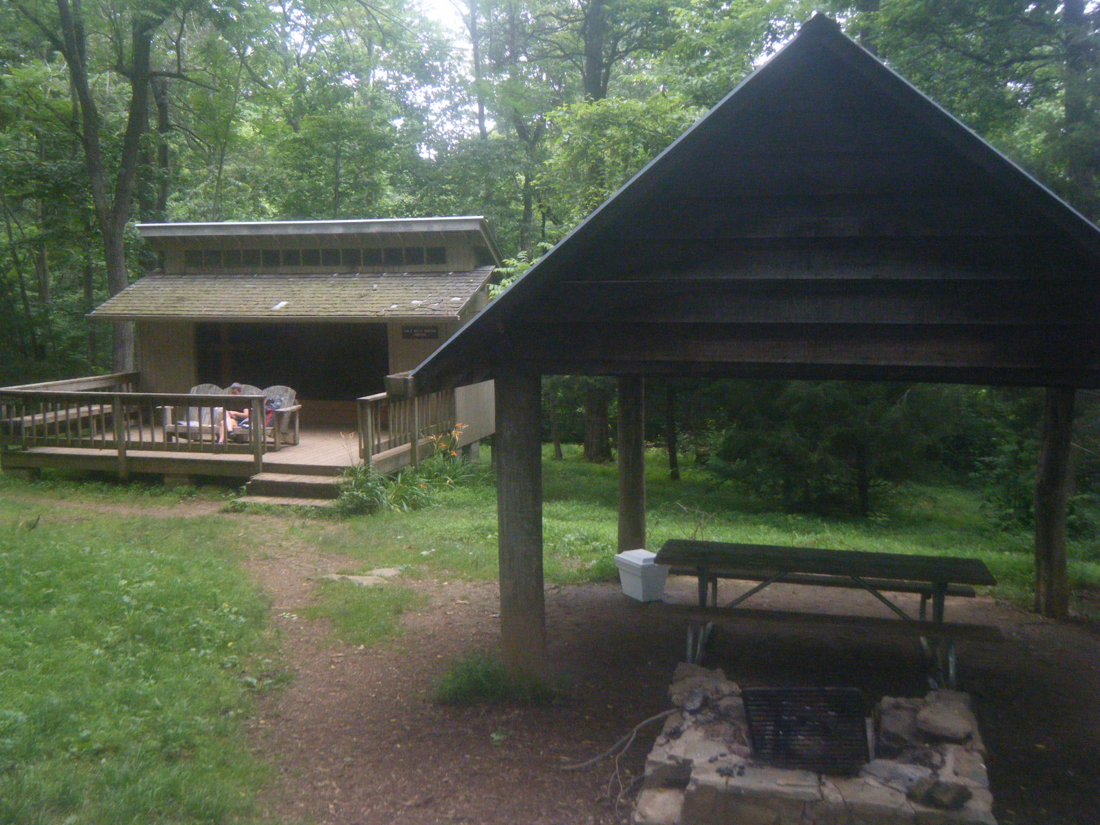
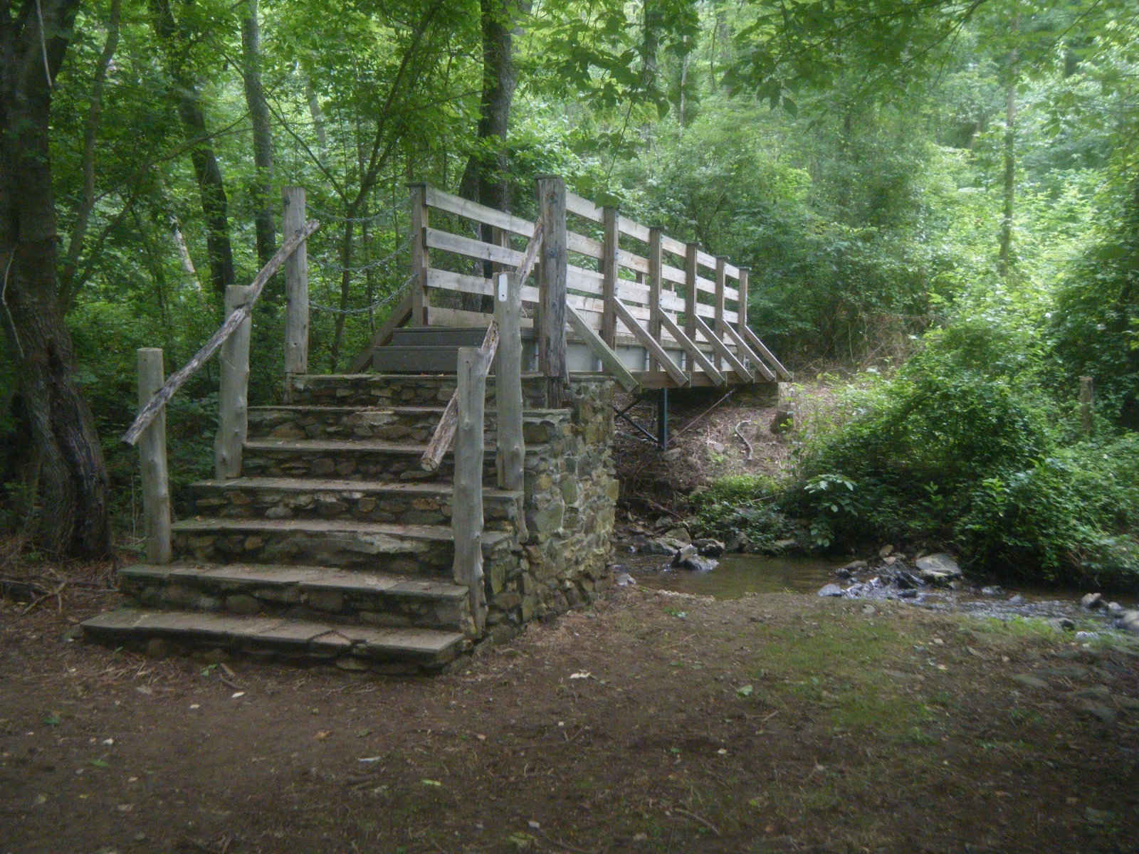
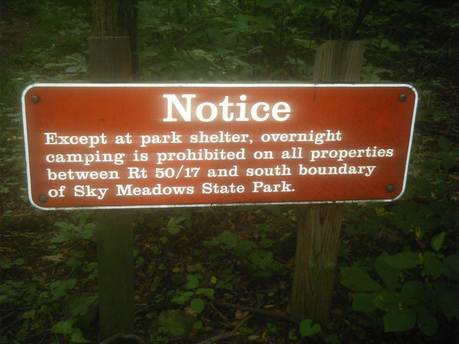
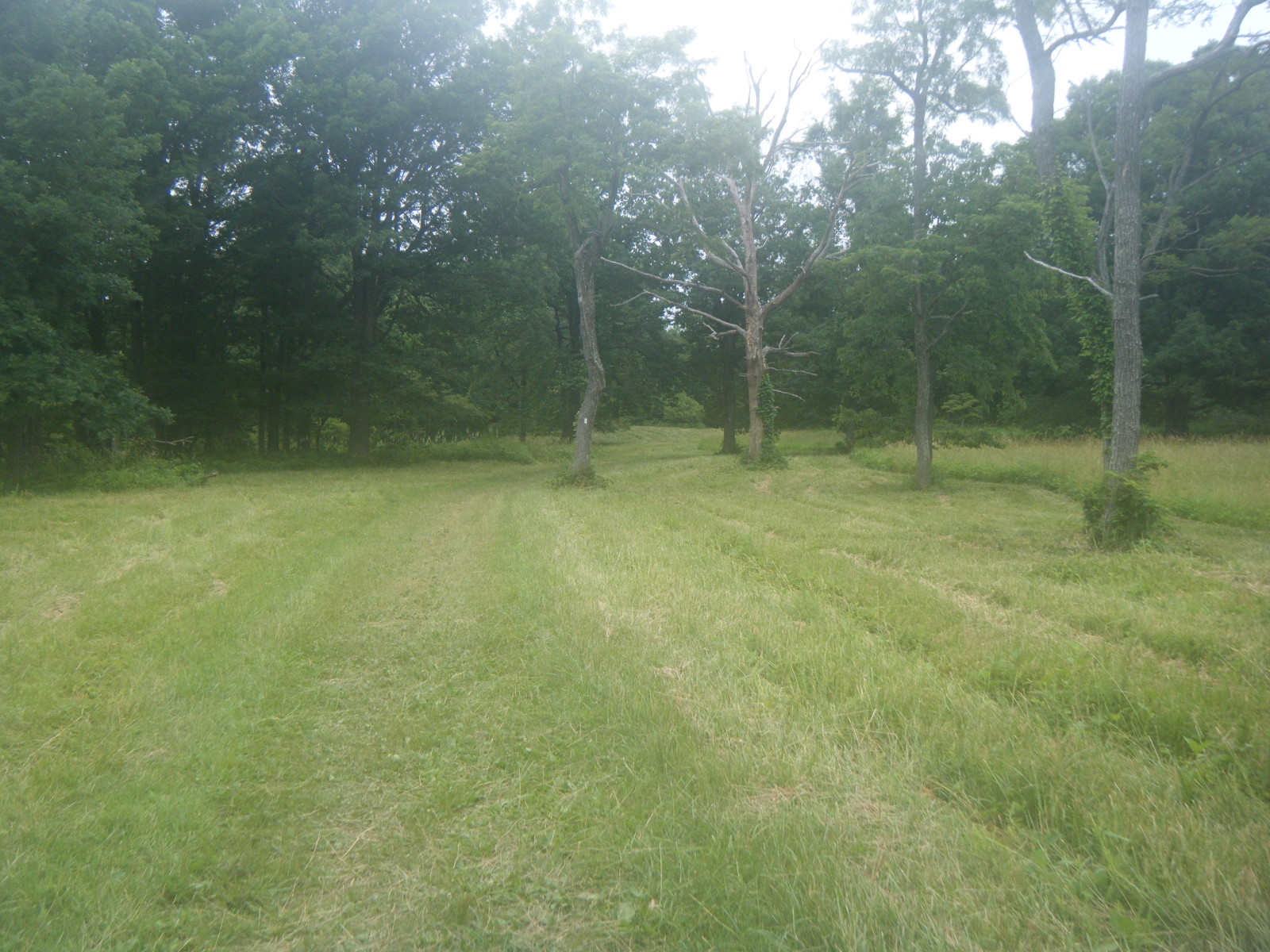
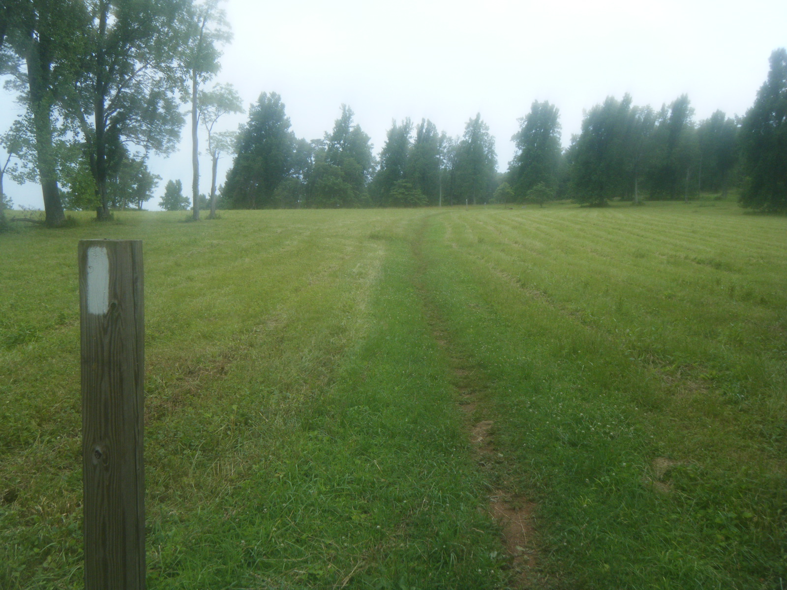
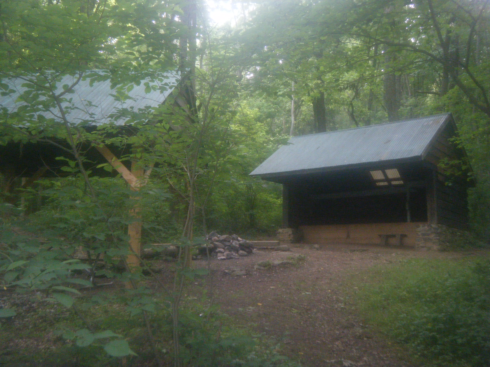
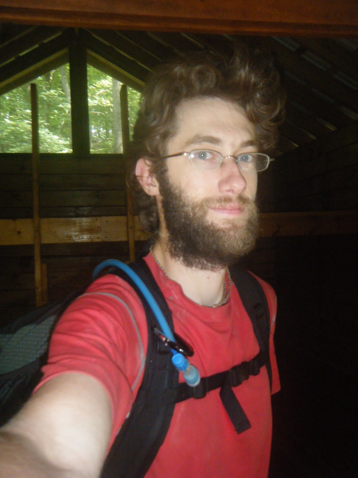
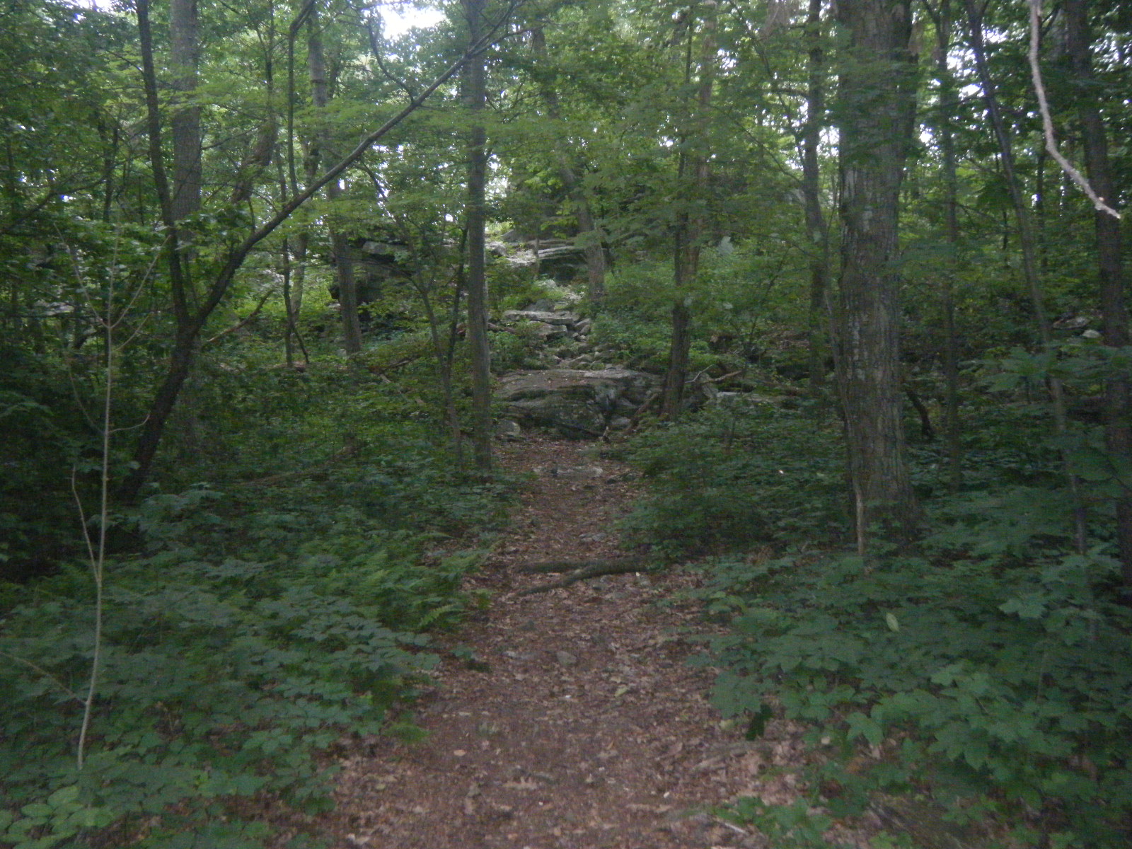
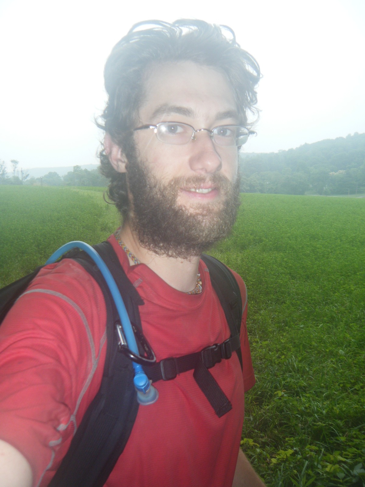
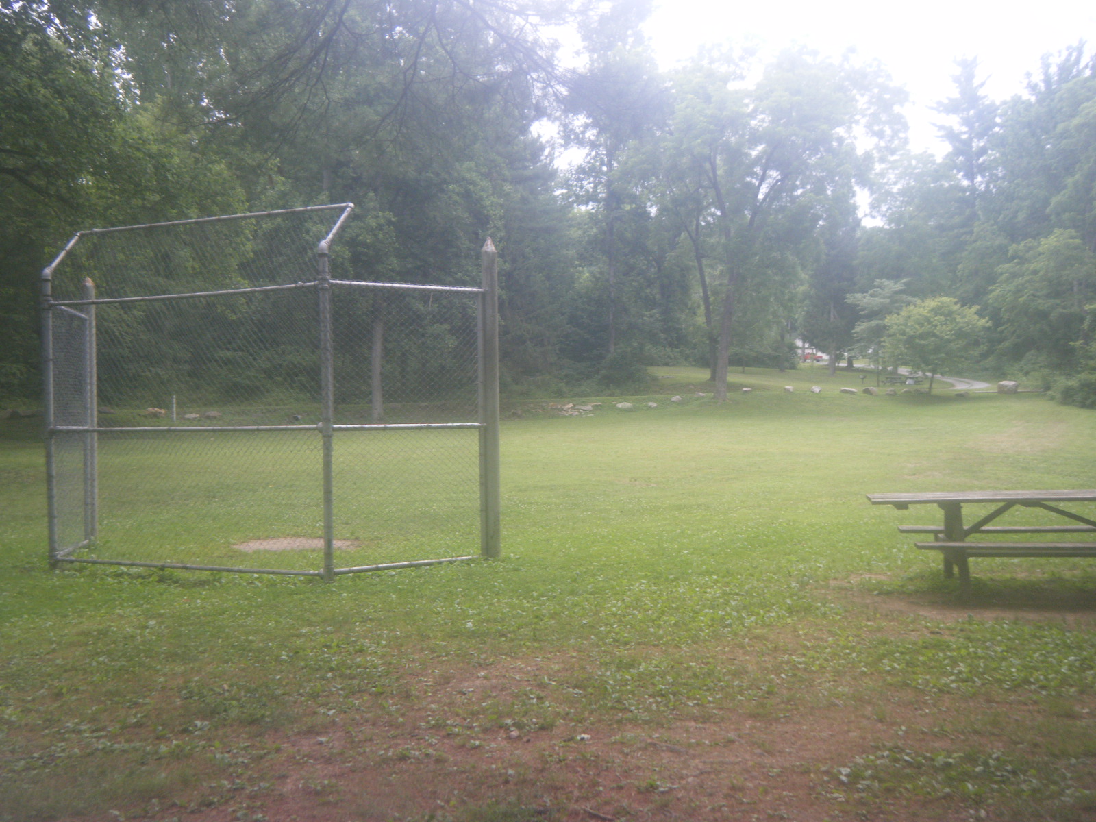
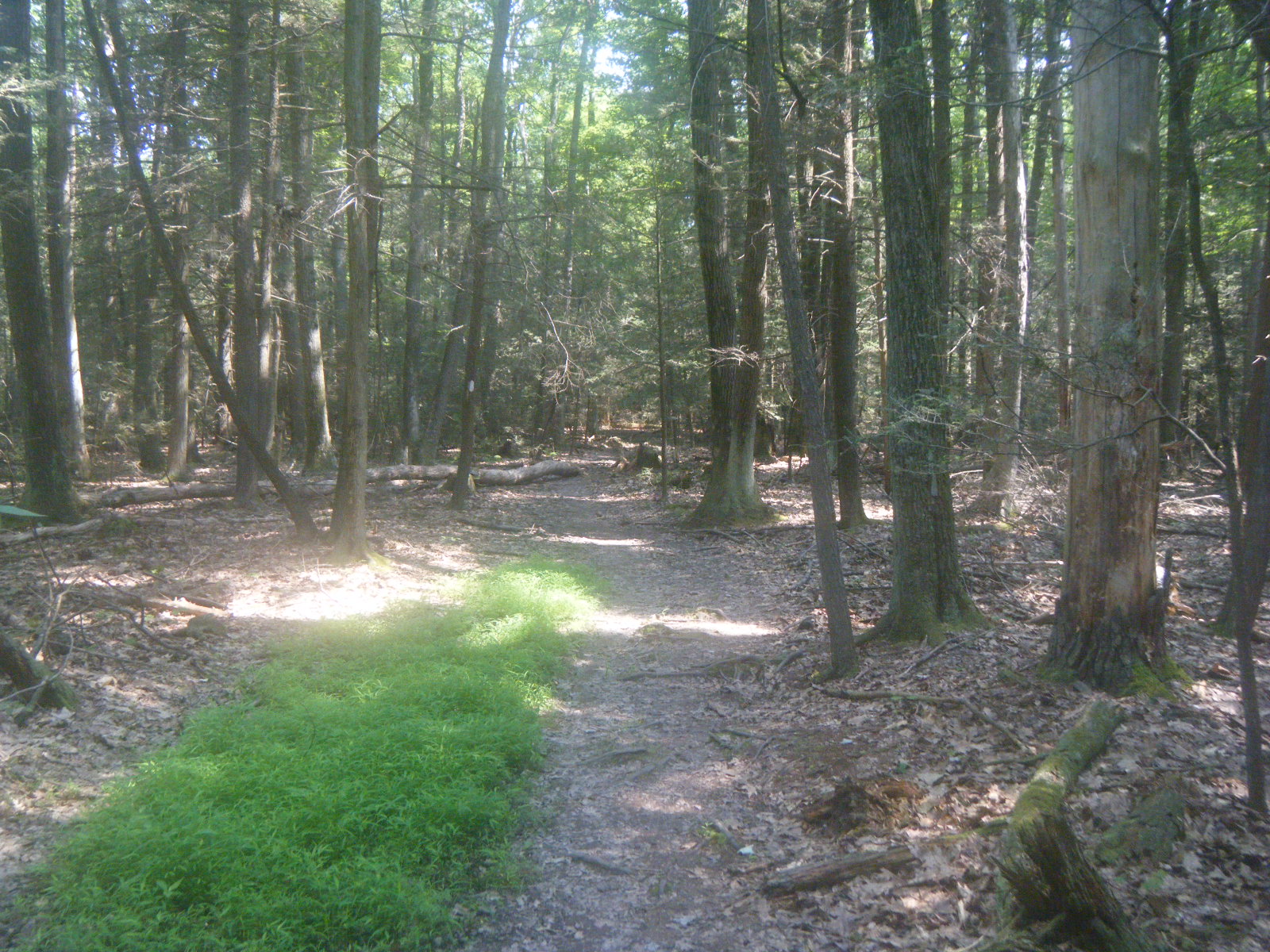
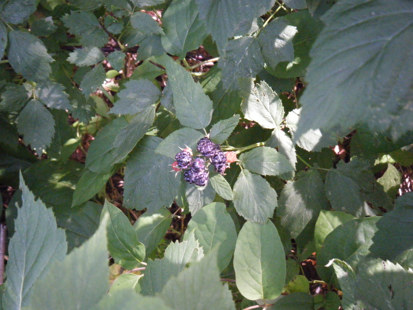
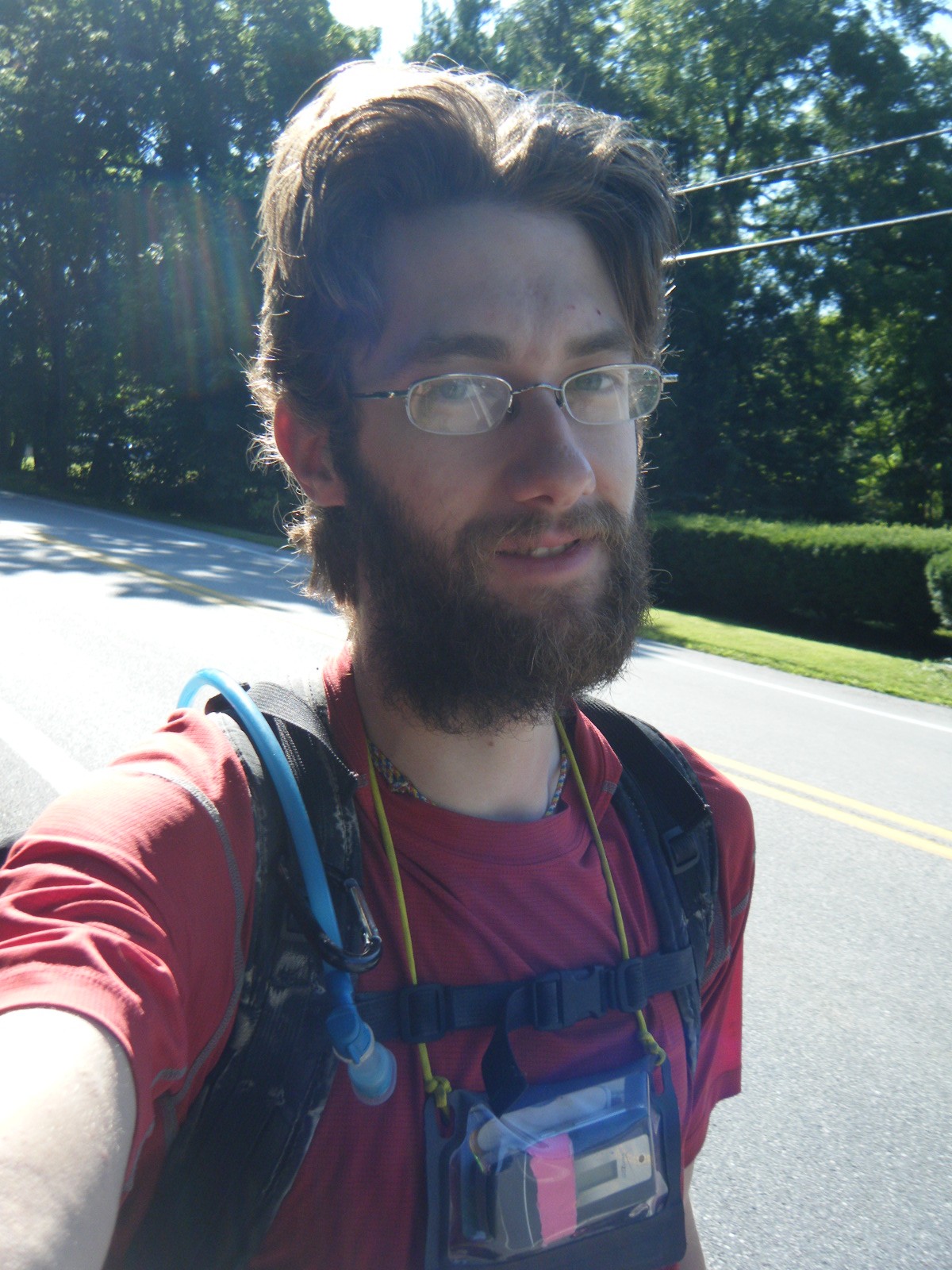
On Thursday June 23, Dad dropped me off at the trail and then headed home. I set off with a few oranges in my back (weight be damned) and we left the leftovers by the trail as trail magic. Even though I was back to carrying 30 pounds again, I felt pretty good most of the day. Shortly into my hike I came to the Jim & Molly Denton Shelter which had a porch, a separate roofed eating area, a water faucet, and a solar shower. It was pretty luxurious. I would have liked to stay there, but it was only 5 miles in and I needed to average 17.5 miles per day to get to Carlisle on time to meet Holly July 1. I sat around for awhile and socialized with Possum, an Australian lady who puts my miles to shame. Immediately after leaving this shelter, the trail was lined with blackberry trees/bushes. I had a few as I walked, and Possum had a lot. I wasn’t terribly interested in the berries since I was packing fresh fruit this time anyway. Later in the day I passed through Sky Meadows State Park, which was pretty nice but there were no shelters in the park and they don’t allow you to camp anywhere either. As such, I plodded along and ended up stopping at Rod Hollow Shelter, totaling 23.5 miles for the day, bringing me just outside the southern edge of the Roller Coaster. Not bad for the first day with a full pack.
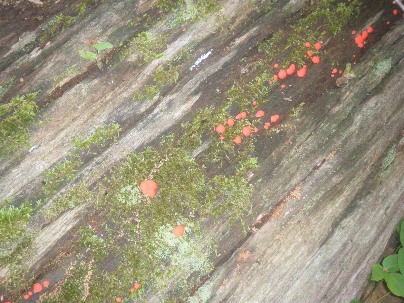
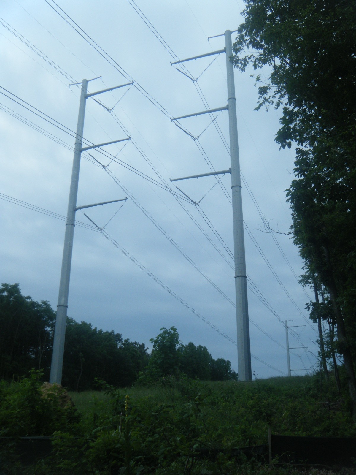
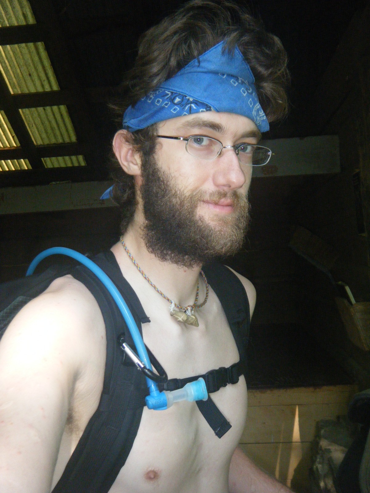
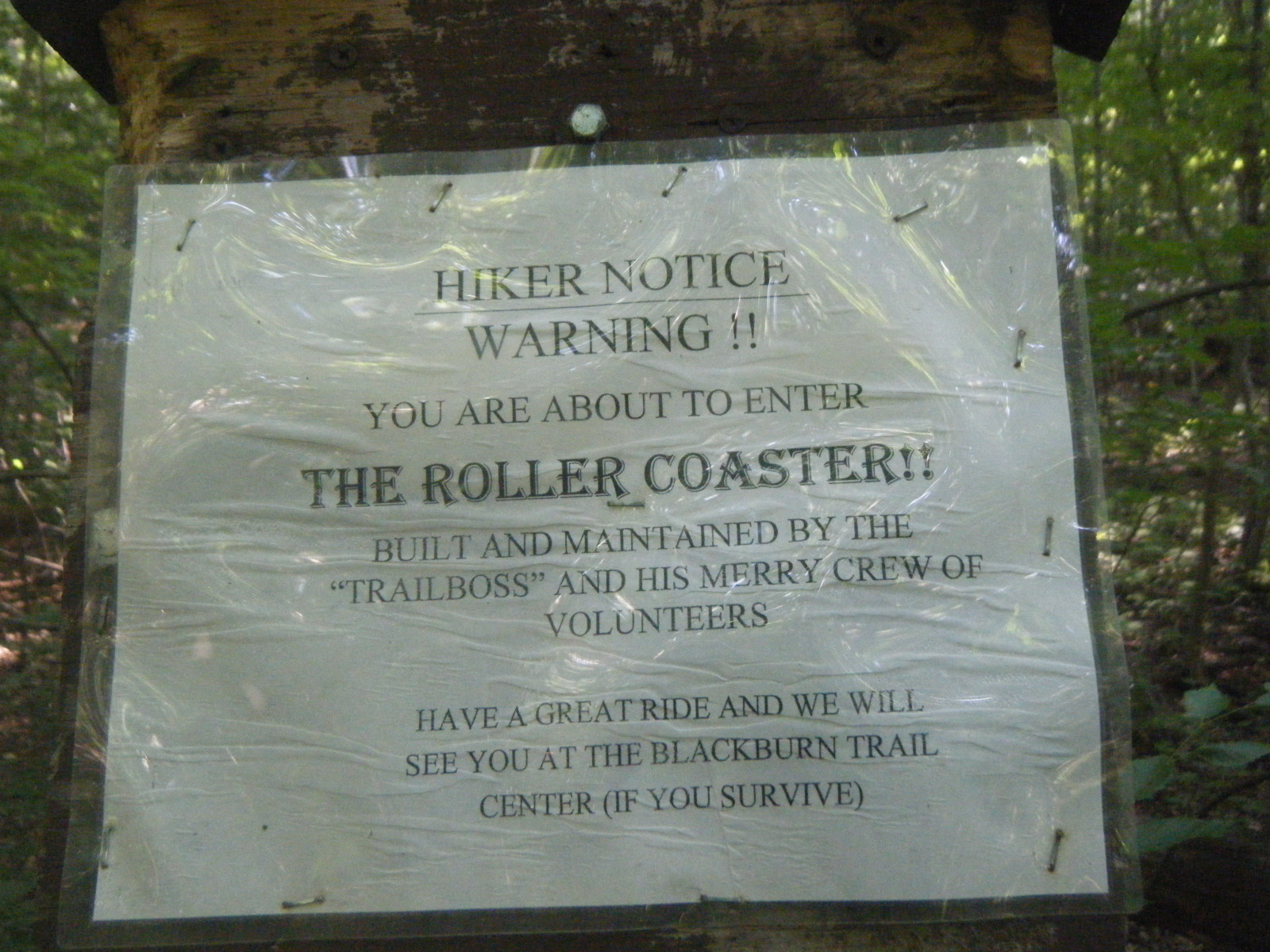
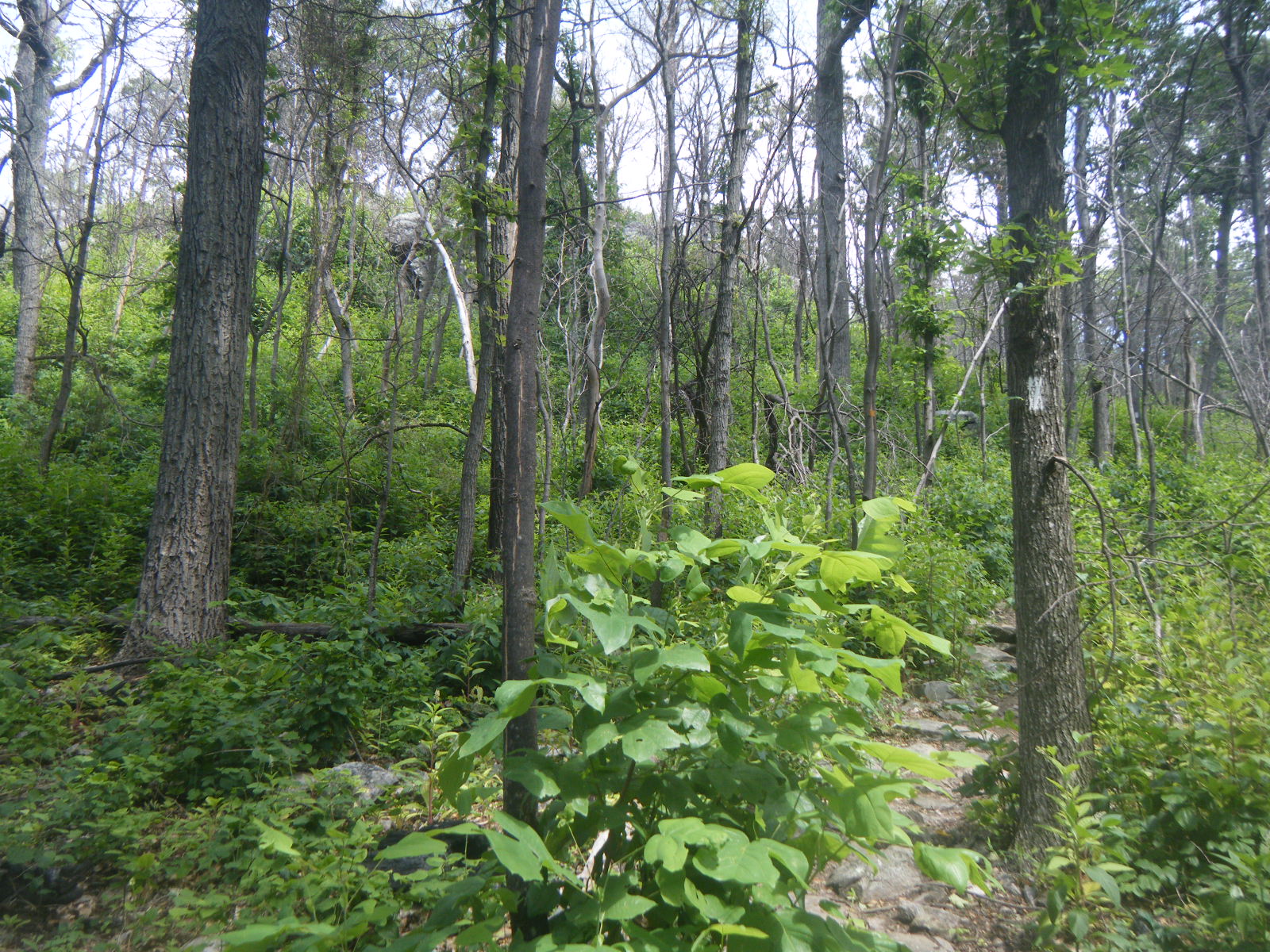
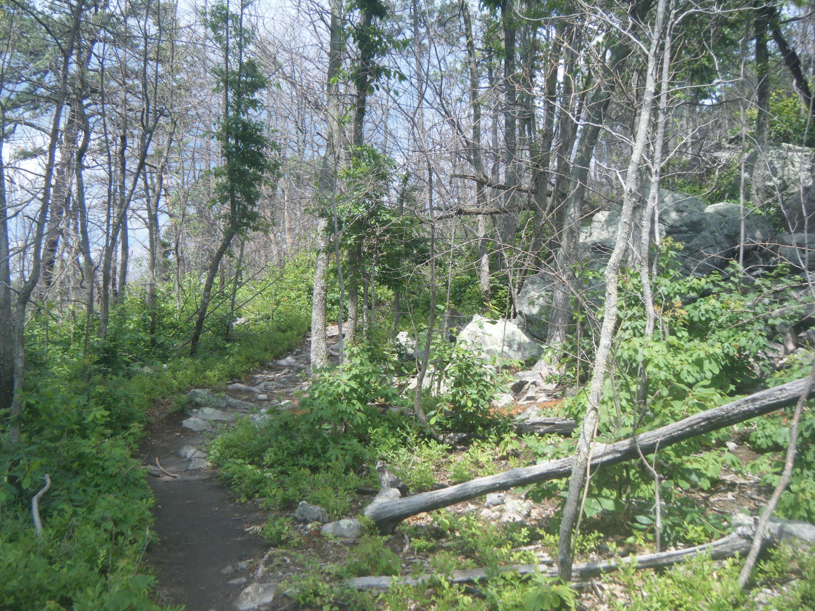
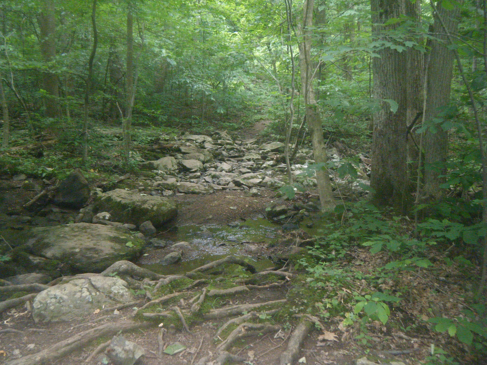
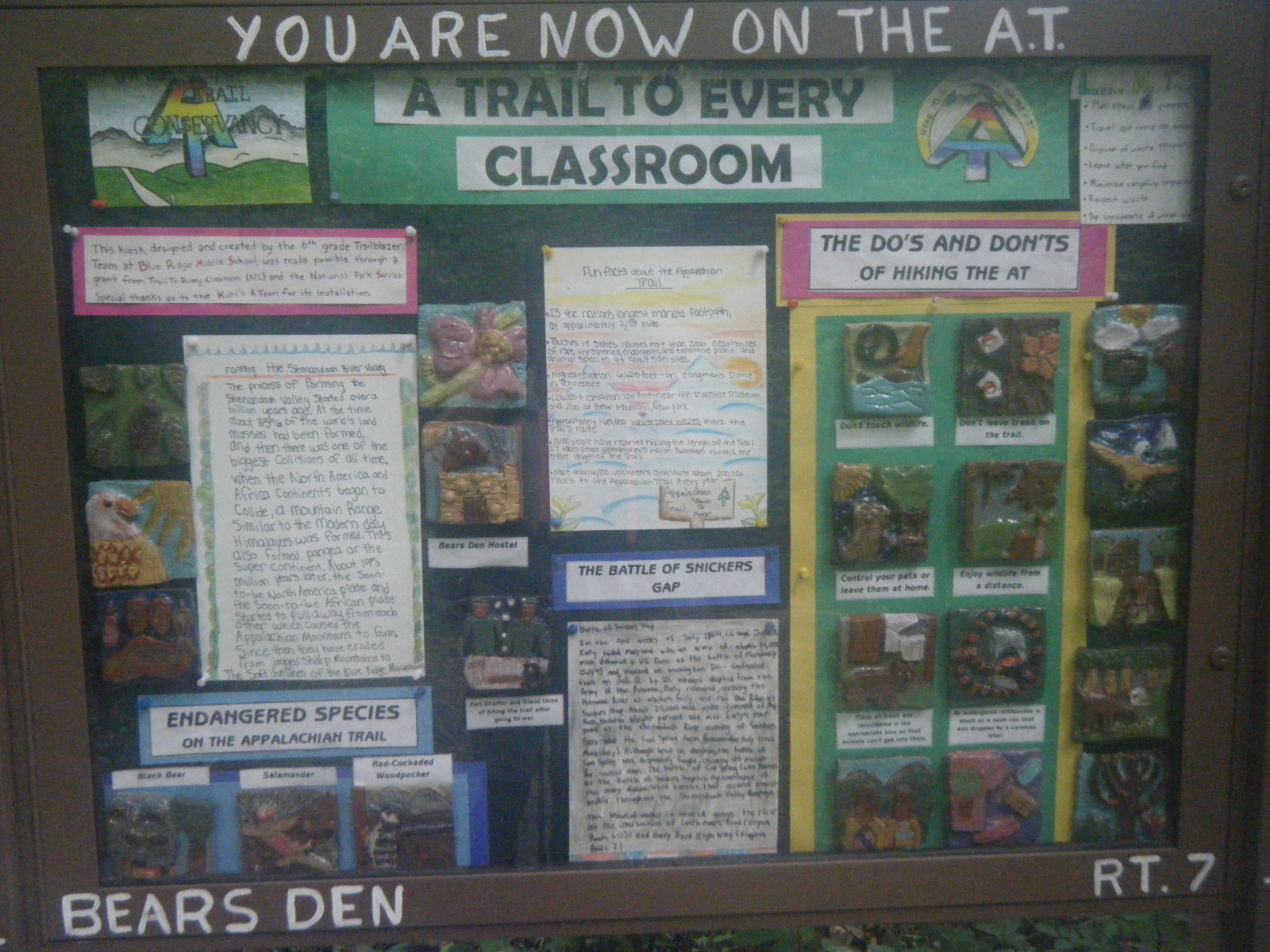
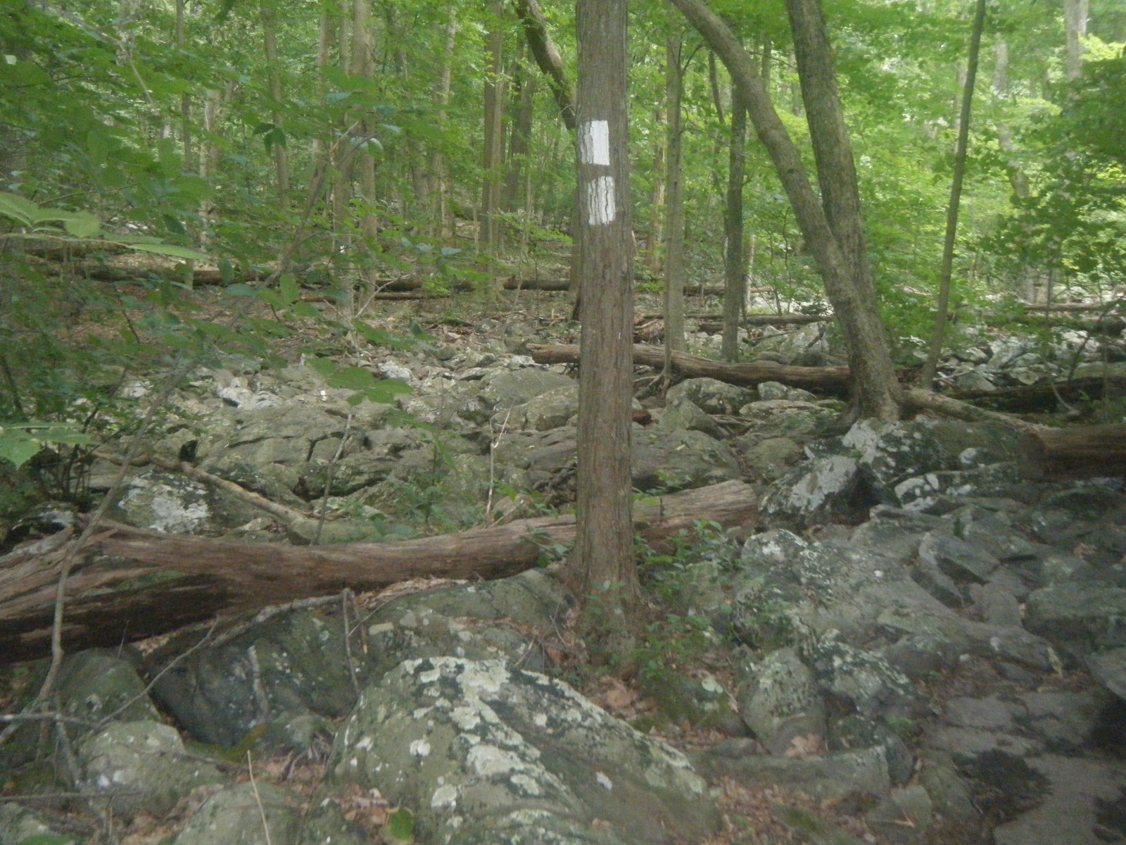
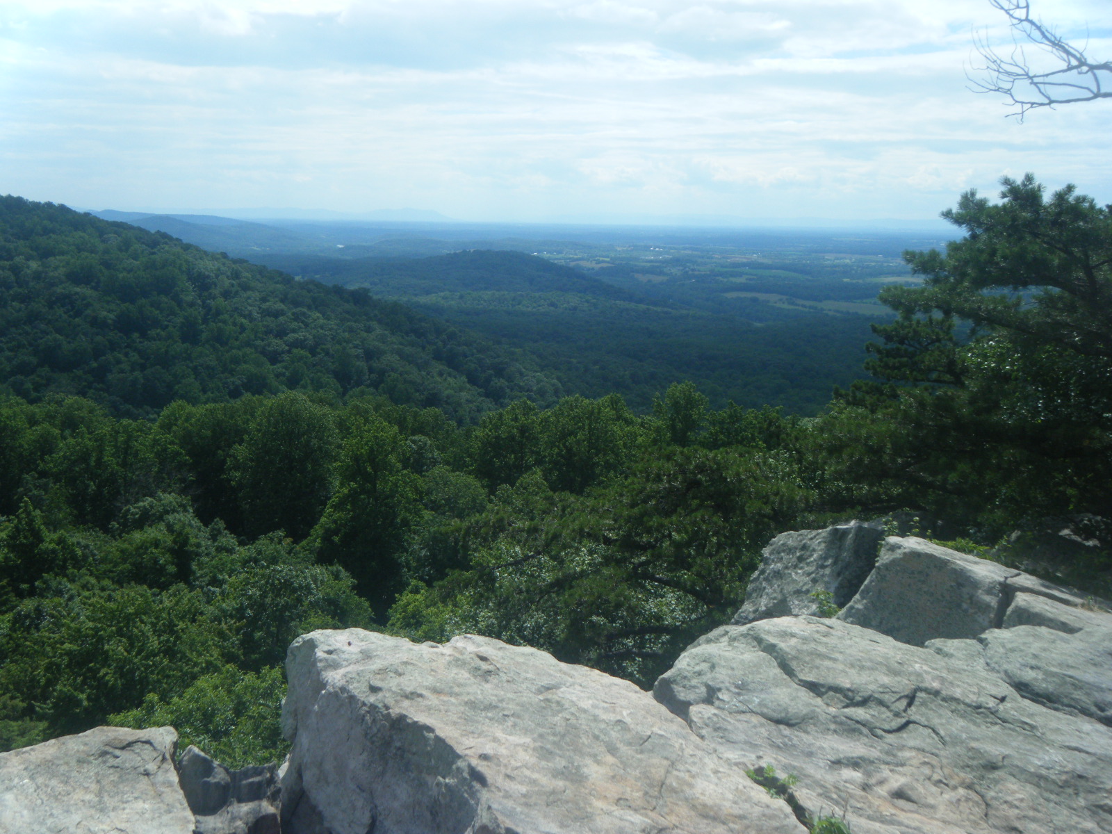
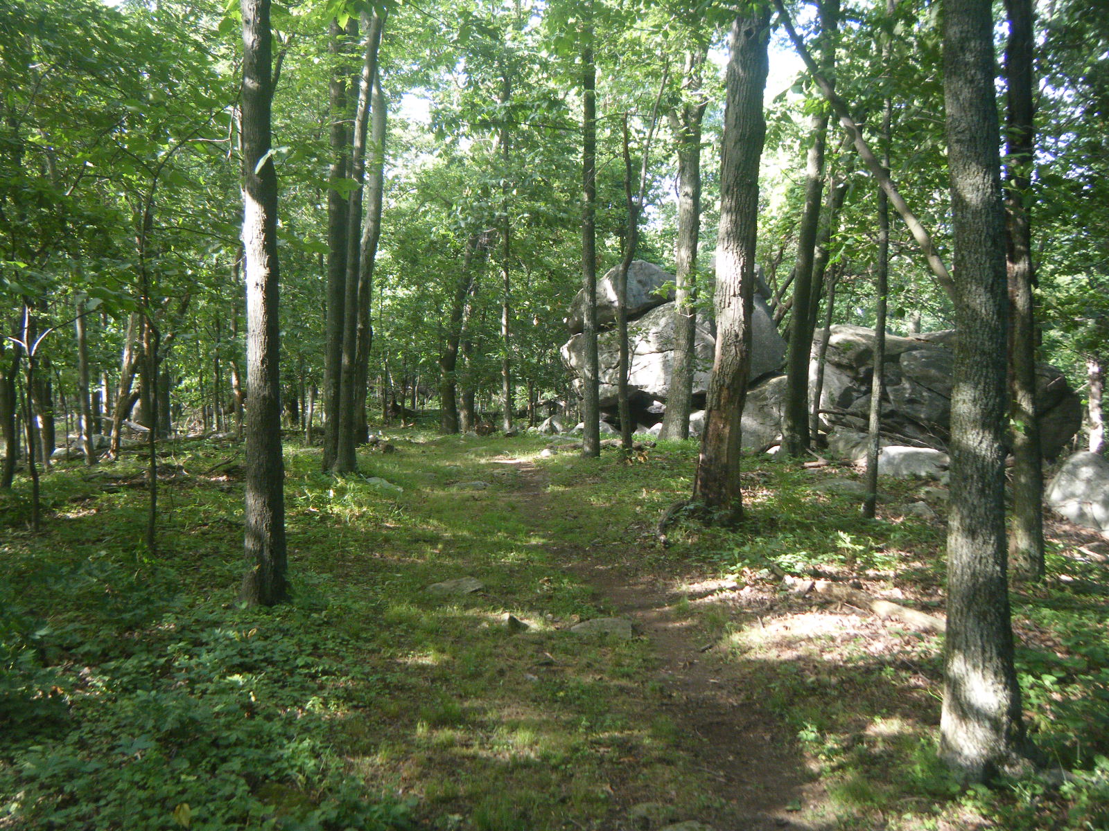
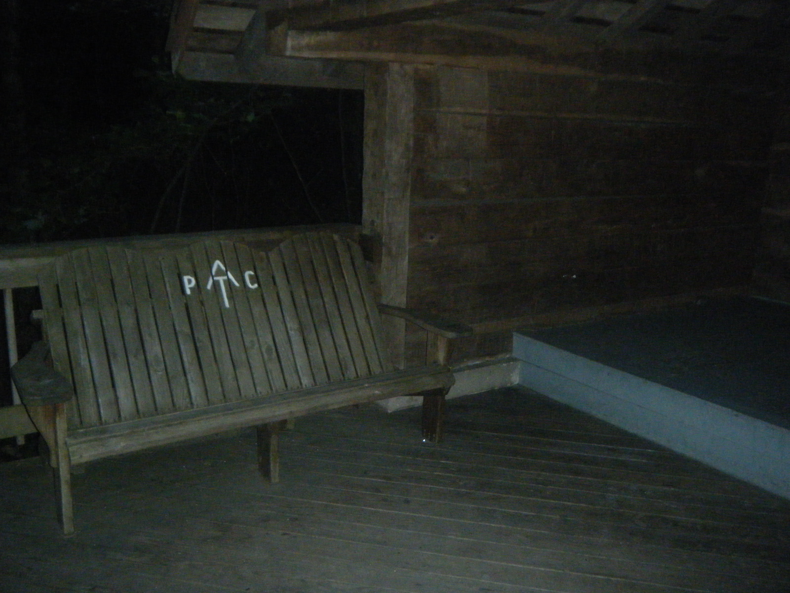
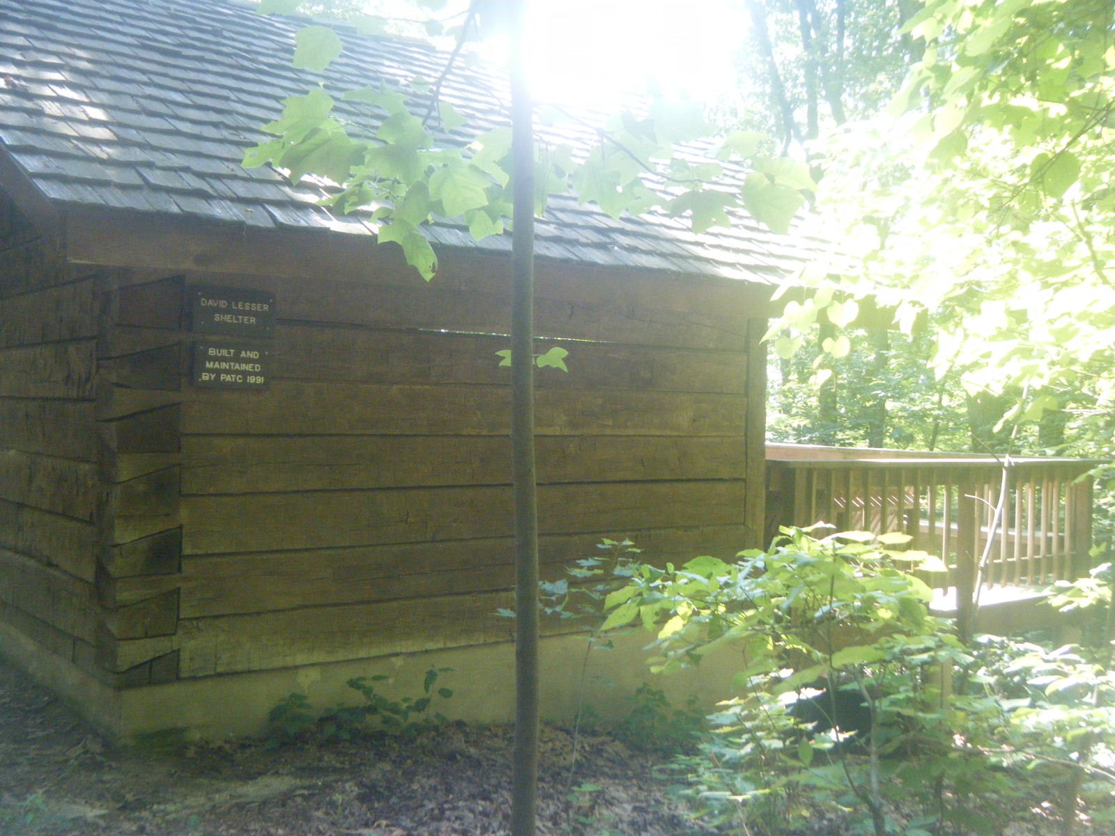
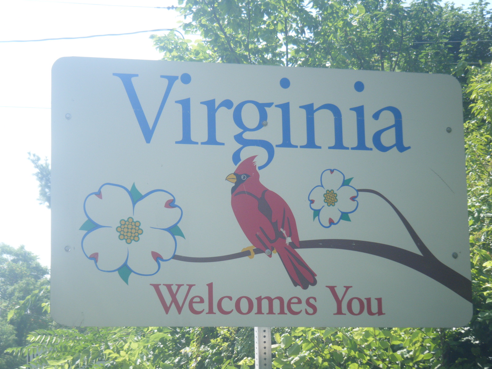
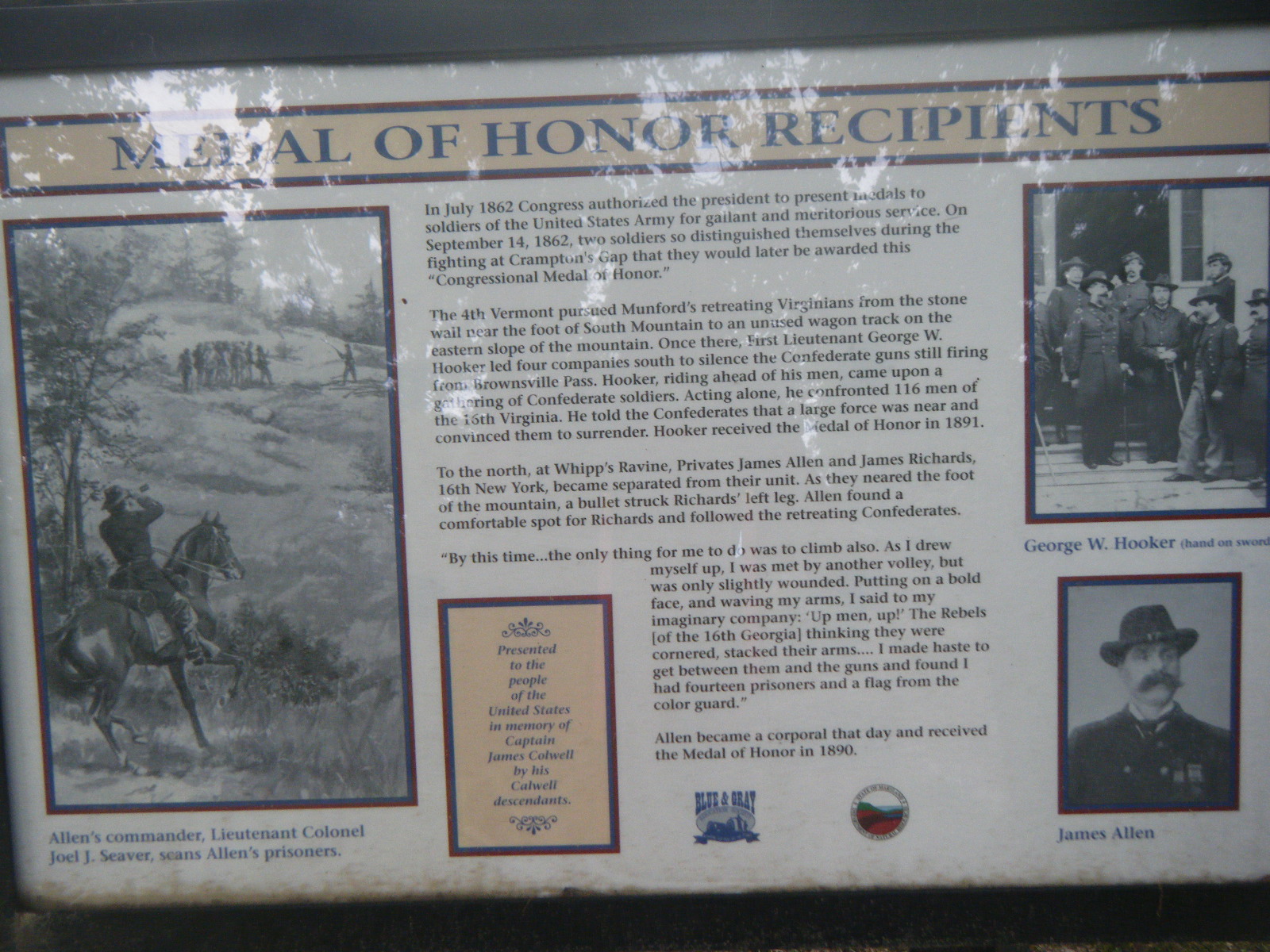
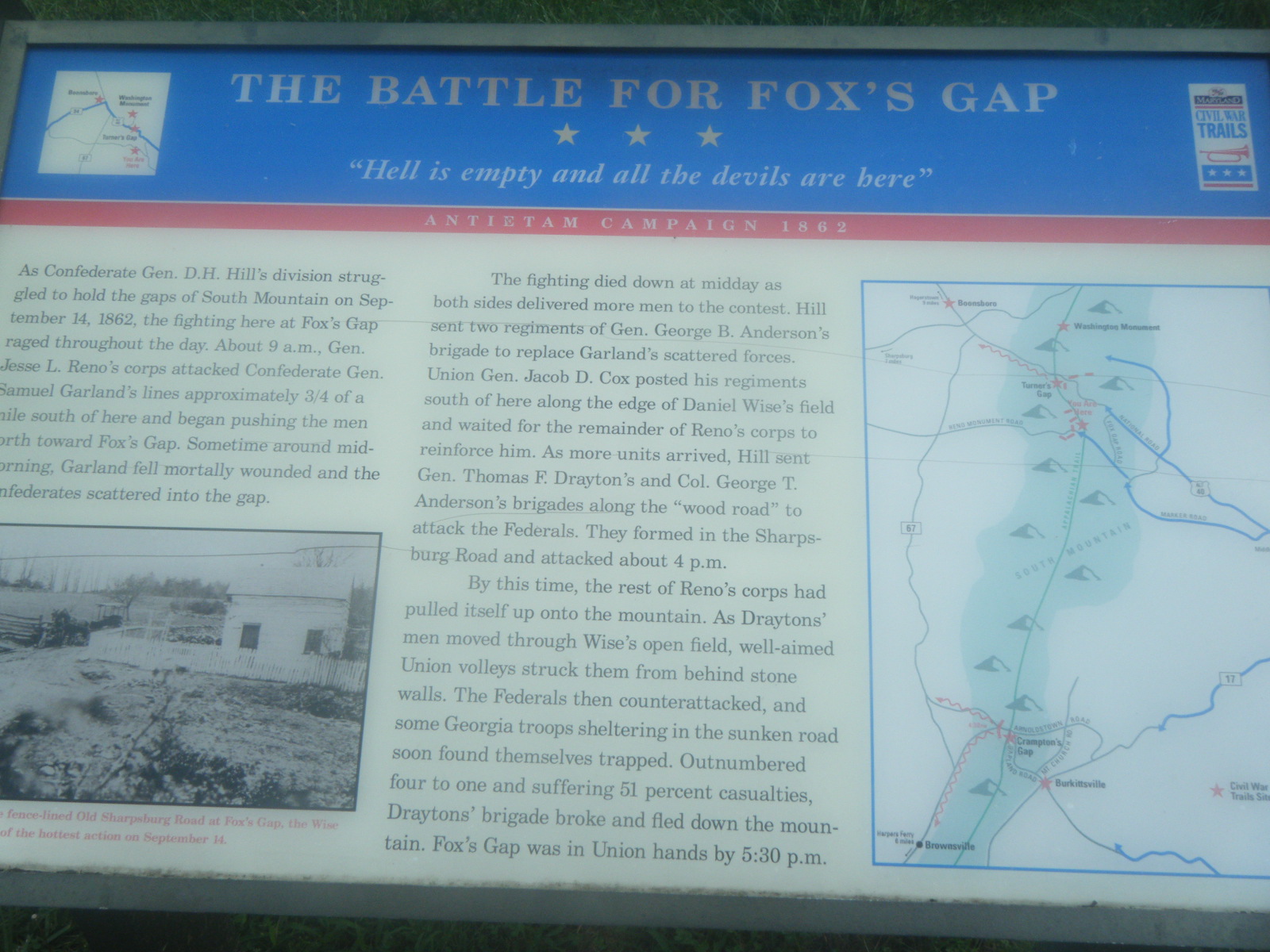
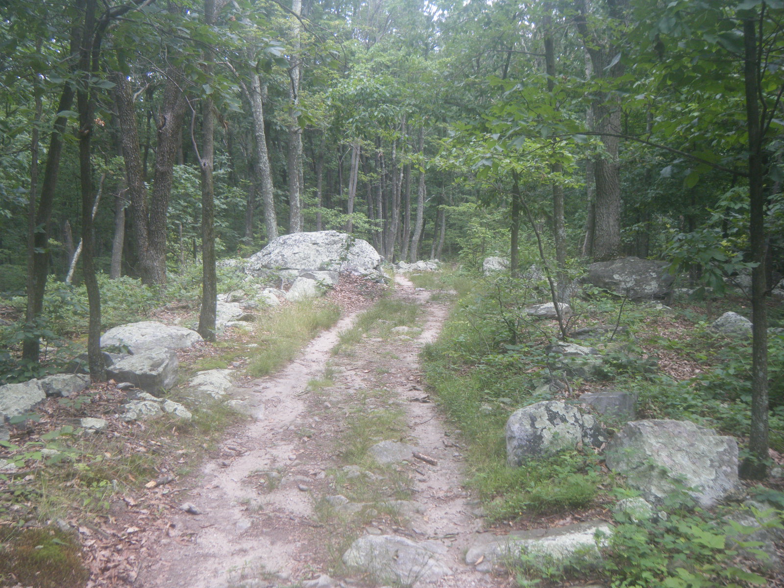
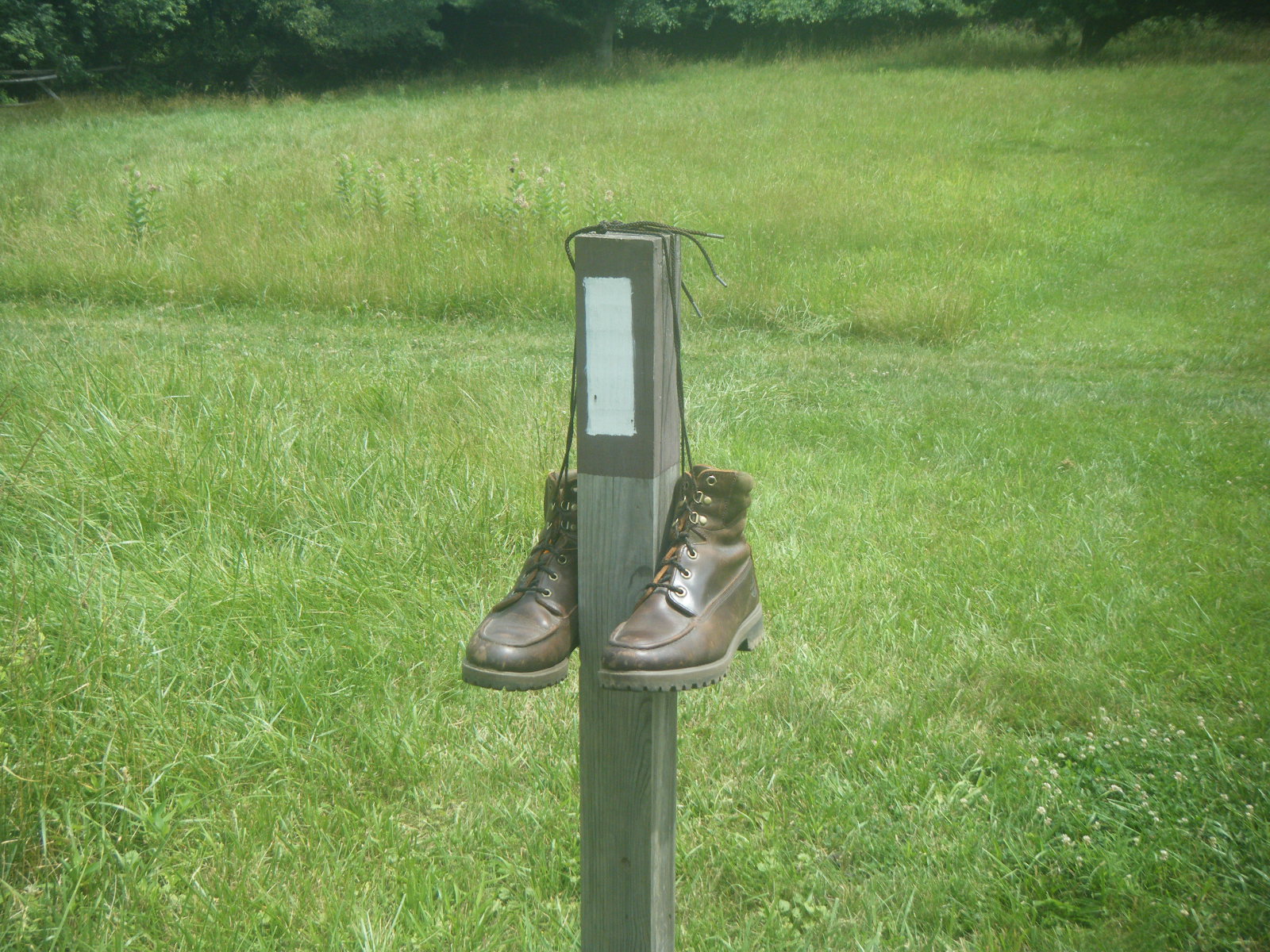
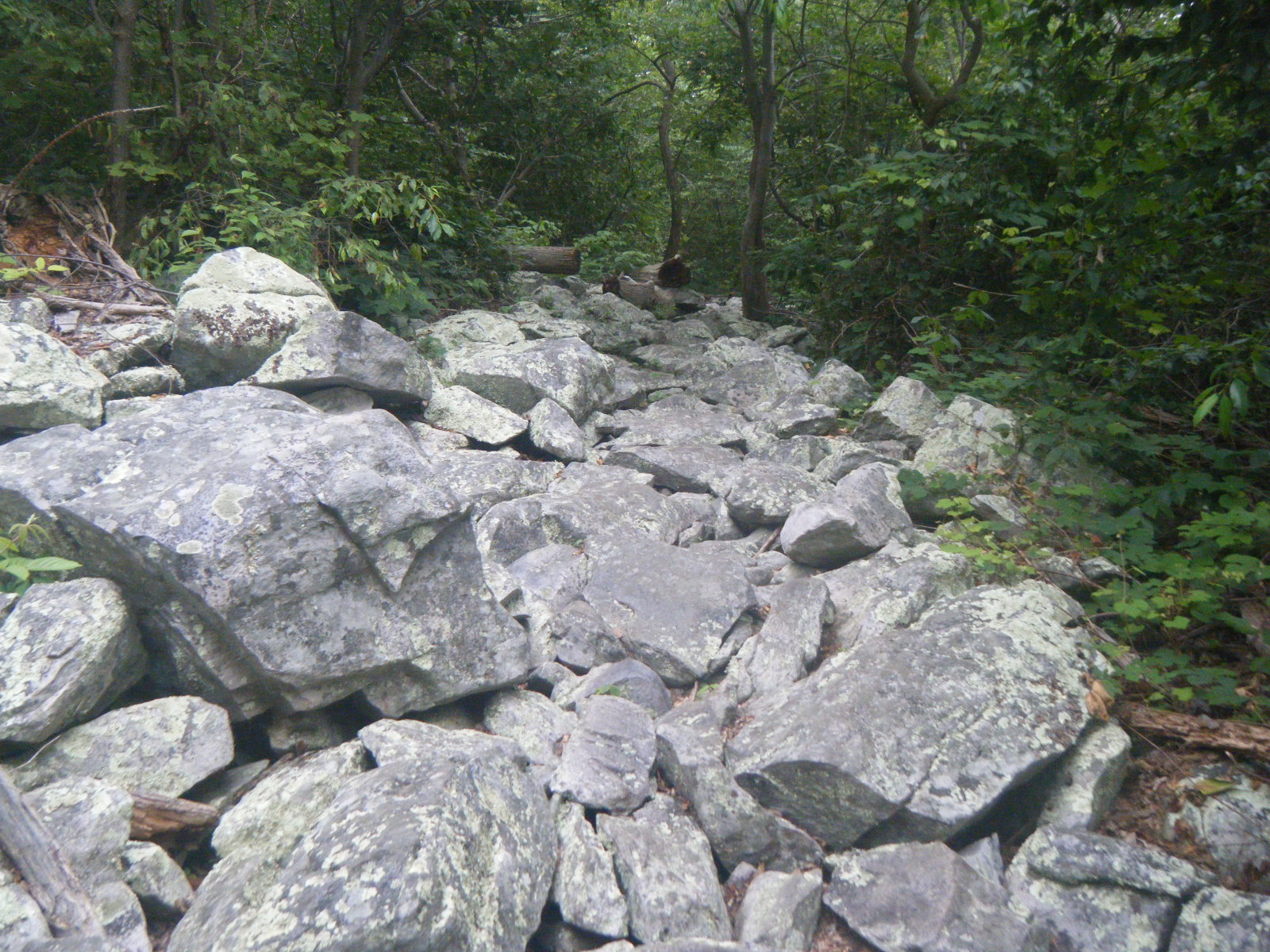
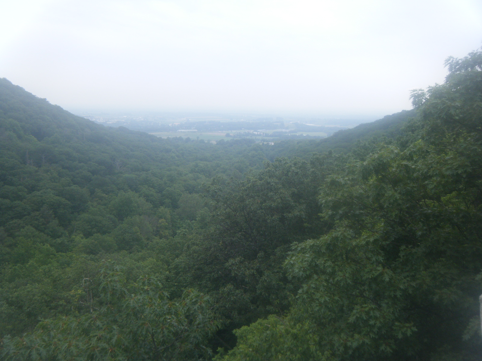
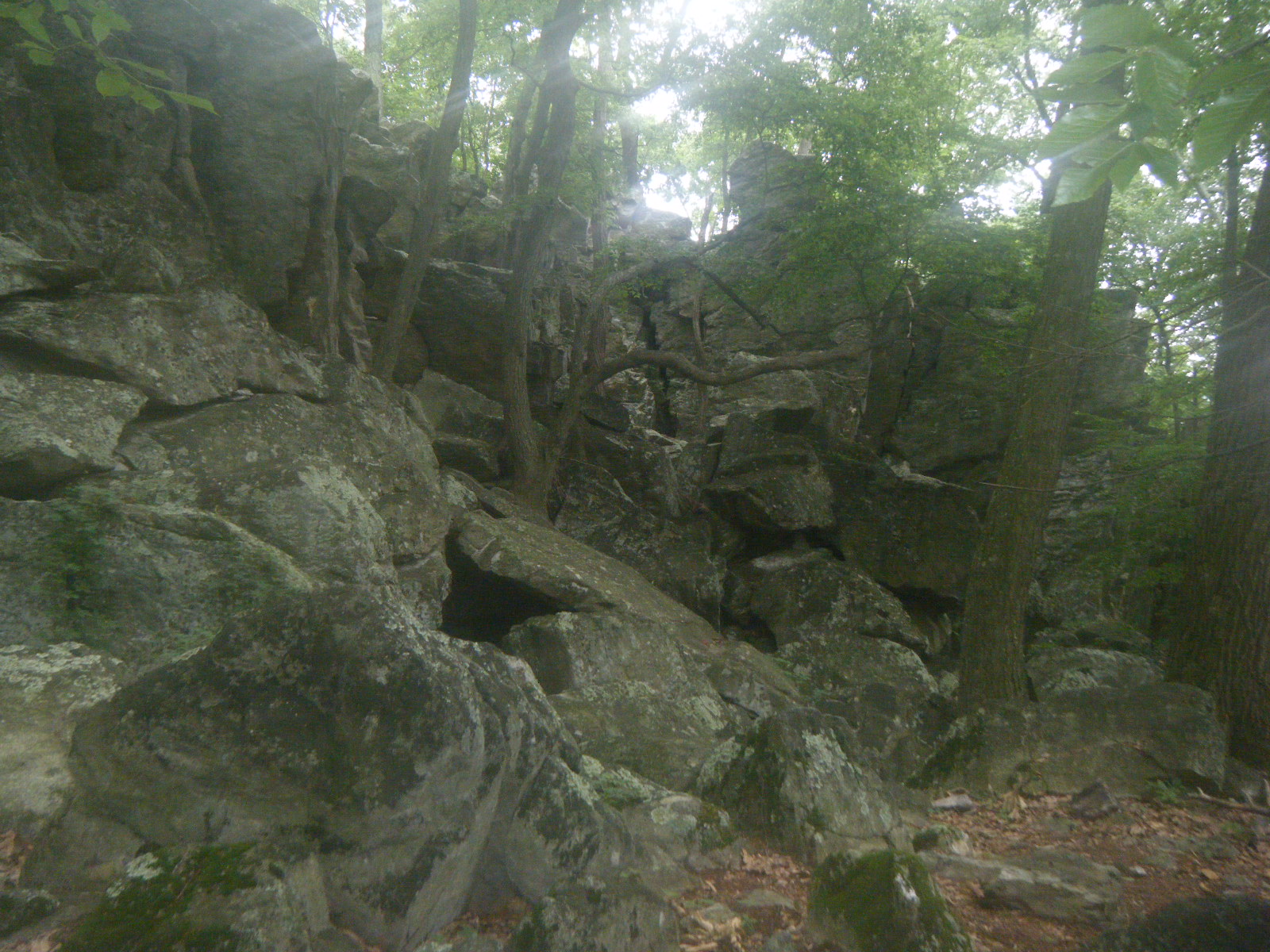
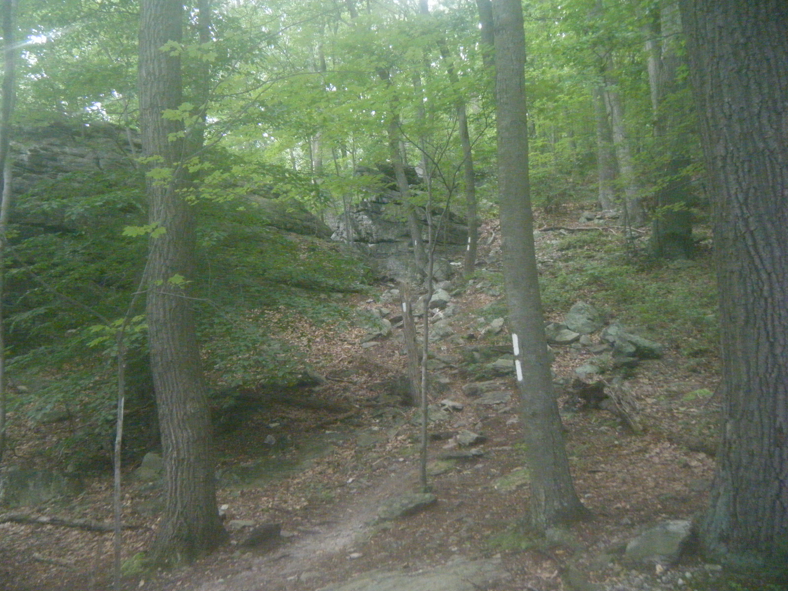
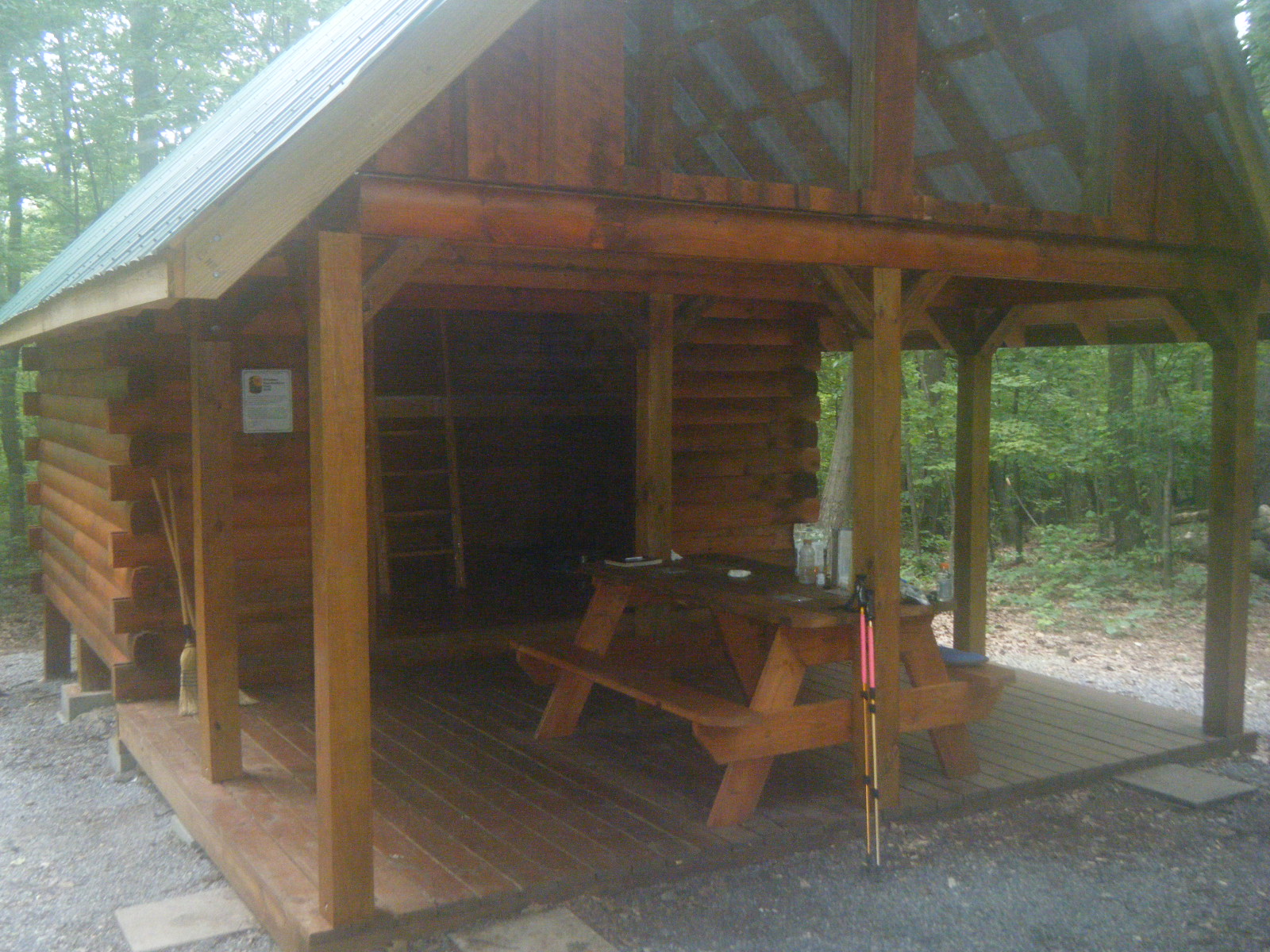
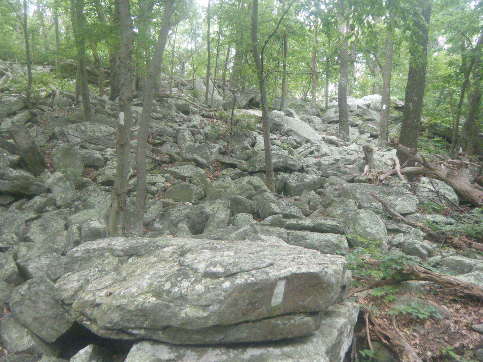
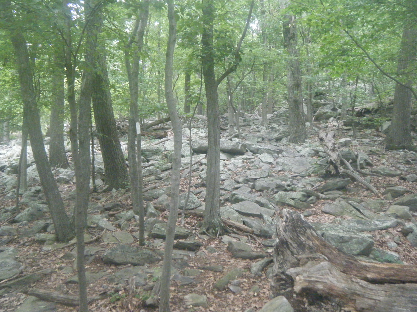
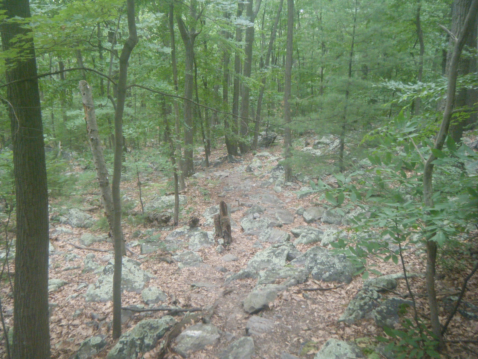
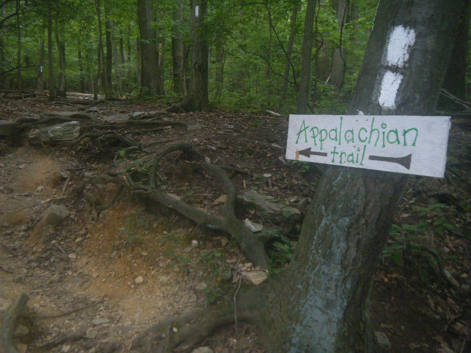
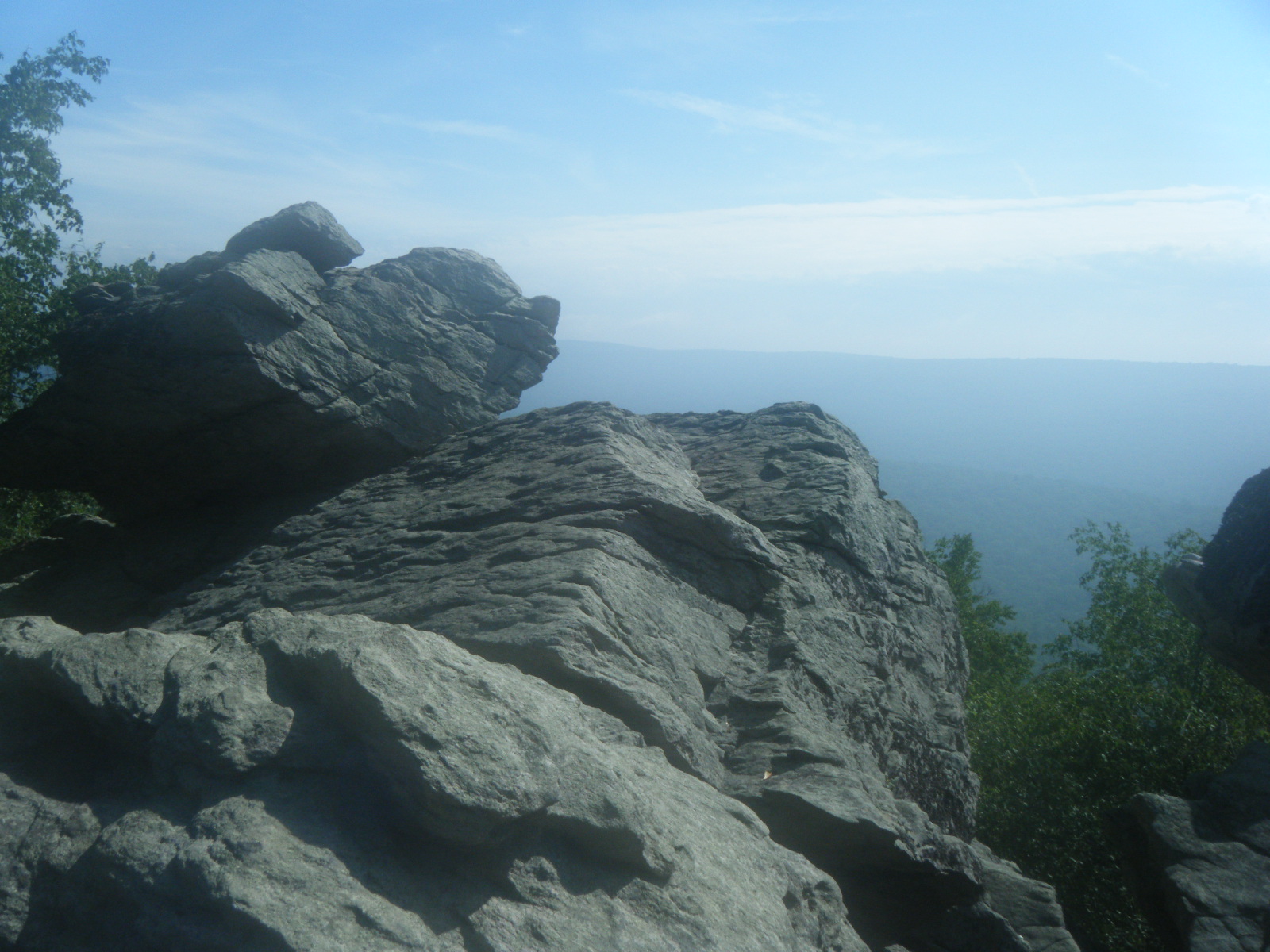
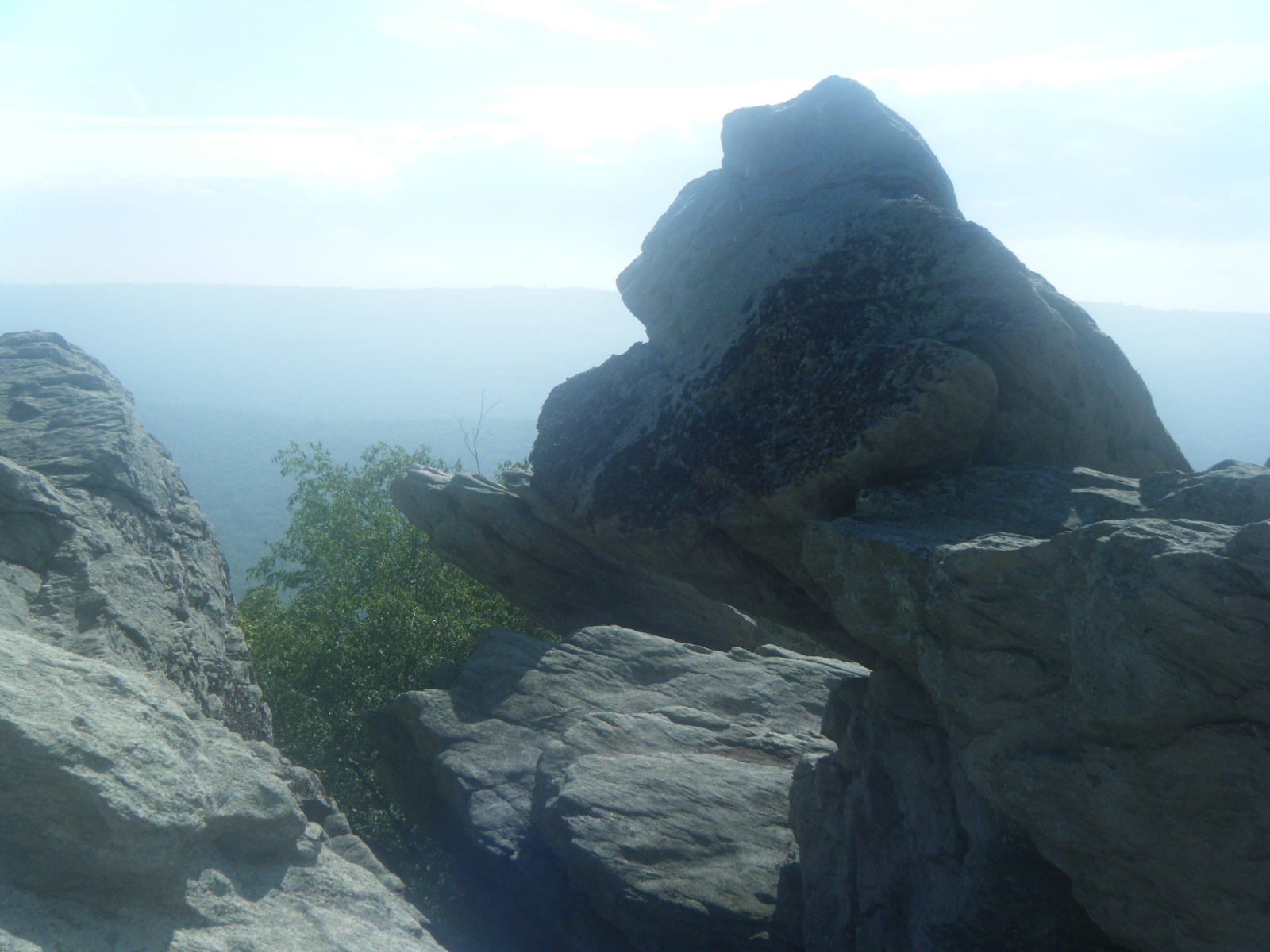
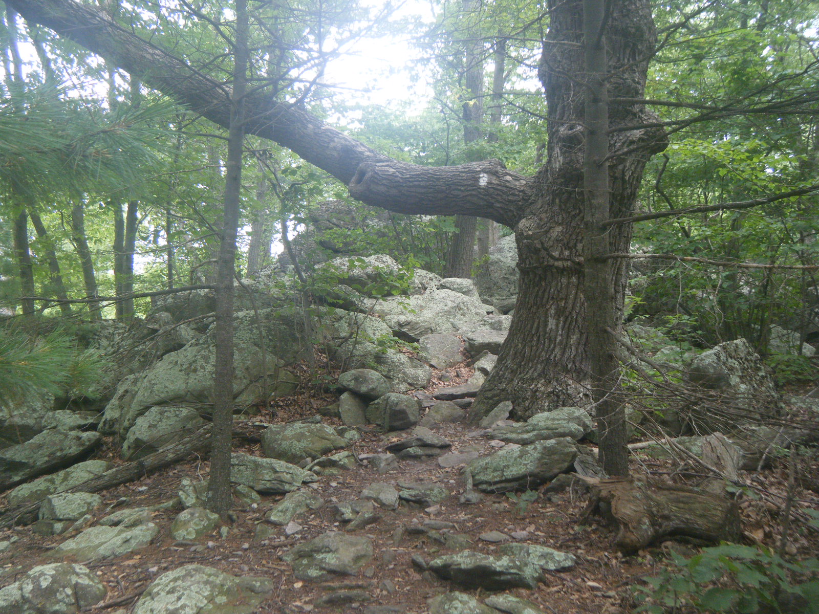
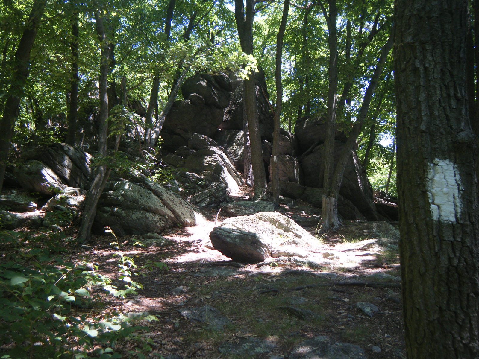
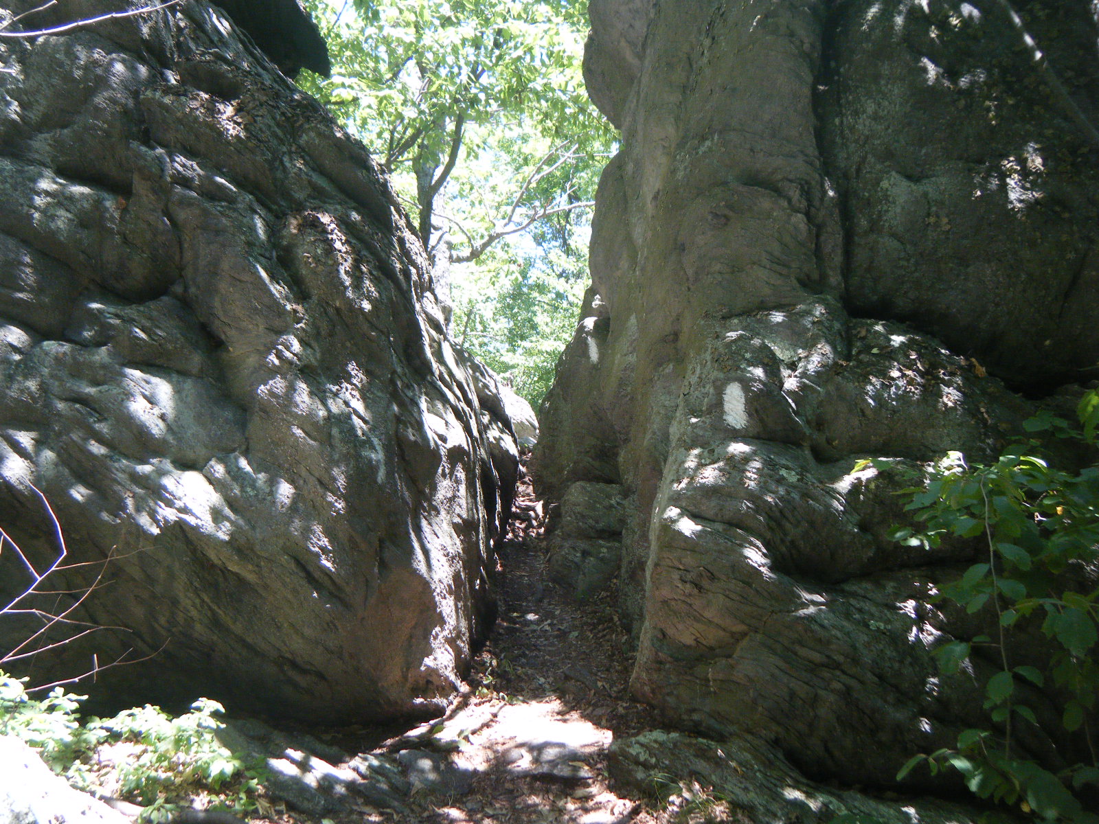
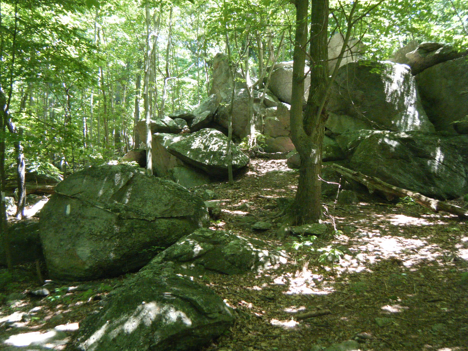
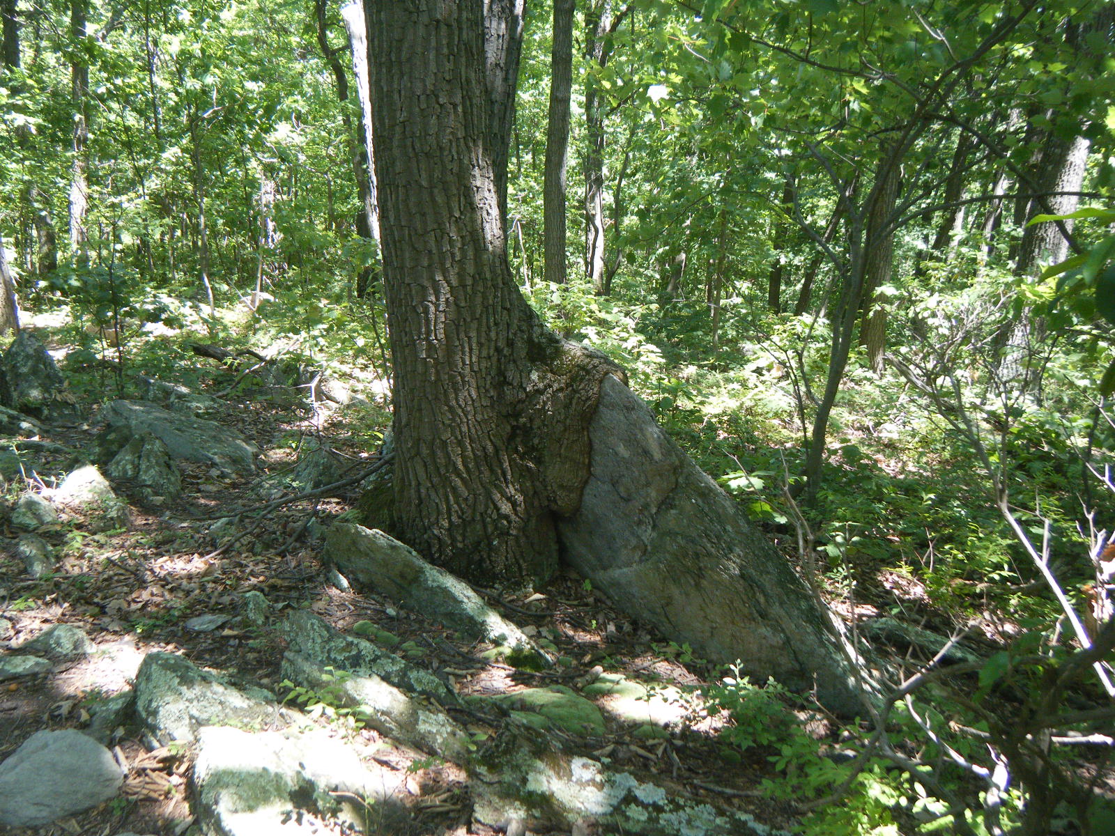
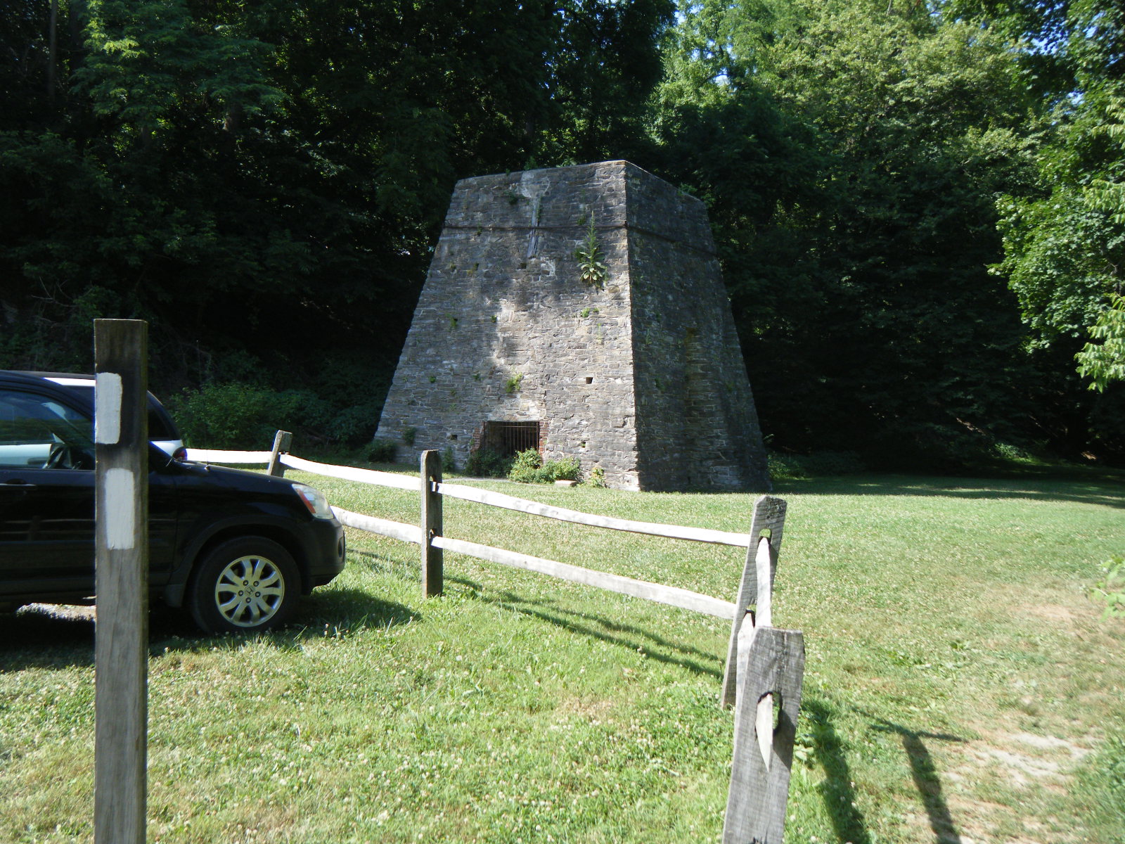
Friday morning (June 24) I awoke eager to tackle the Roller Coaster. It’s a 13.5 mile stretch of back-to-back ups and downs – 12 summits, plus one last climb to put you back on the ridge. The ups and downs I expected and I was prepared to face. However, I was not happy to see that nearly the entire distance was covered in jagged rocks and log steps. The terrain was abysmal. In fact, as a general rule I try not to criticize the trail condition because I know all of the maintainers are volunteers and do an impressive job, but parts of the Roller Coaster could stand to be maintained a bit more. At one point I strayed off the trail because there was no visible difference between the AT and the boulder field next to it. If you can’t look at the ground and discern a hiking trail there, then someone needs to put in a few hours’ work. Despite the terrain, I made it over the first 6 summits, rested at Sam Moore Shelter, then knocked out the next 6, and in doing so walked past Bear’s Den Hostel. It’s unfortunate I was on a deadline, because I hear Bear’s Den is a really nice place, and apparently it’s also literally a castle. After the Roller Coaster I climbed that last rise, and once I was on the ridge it was pretty easy terrain. I walked 7 more miles and stopped at David Lesser Memorial Shelter, totaling 21.0 miles for the day. While there, I chatted with some day-hikers who informed me that the Blackburn AT Center that I passed 4 miles back is also a great place to stay. I knew it was a free bunkhouse, but apparently it’s also pretty common for the caretaker there to cook a large spaghetti dinner for the hikers. Tragic. The David Lesser Shelter was nice though – it had a porch and benches, and the separate eating area even had a hanging bench swing. I guess West Virginia figures if they’re only going to have one shelter, it should probably be a good one. Oh, right – I crossed the border out of Virginia during the Roller Coaster. I’m told there was a sign, but I was too busy watching my feet on the rocky terrain to notice, so no celebratory pictures. I took a picture of a road sign later on instead. Also, I passed the 1,000 mile mark on the ridge before Blackburn. I remember seeing some sticks arranged in a pattern on the ground, but was unable to make out what they had spelled. Looking back, I’m positive they were arranged into “1000”, but since it didn’t occur to me at the time, I missed this photo opportunity as well. Oh well.
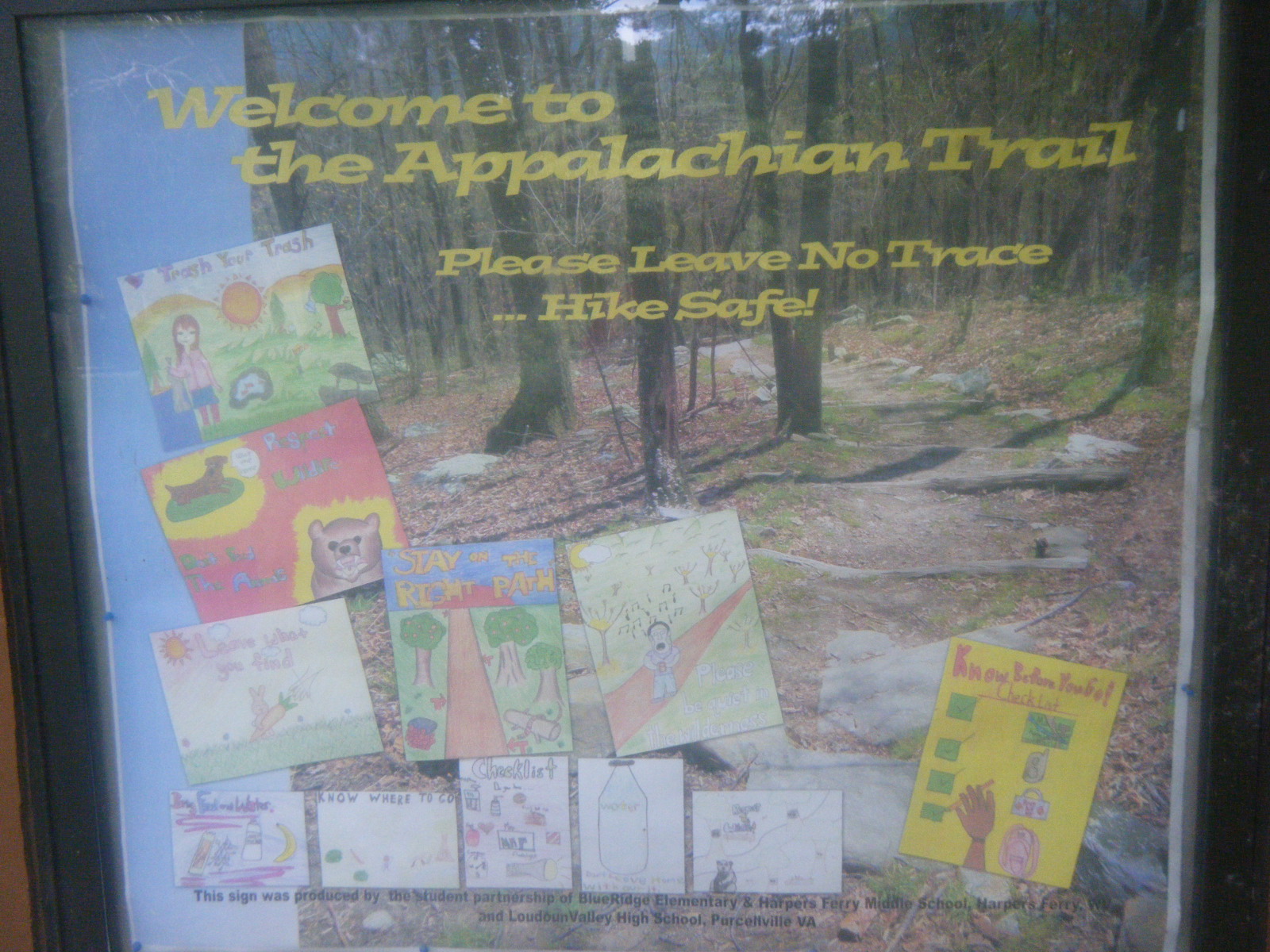
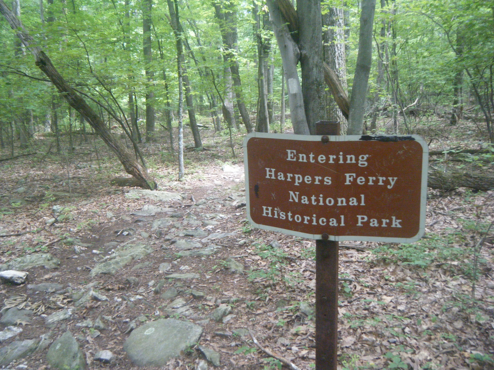
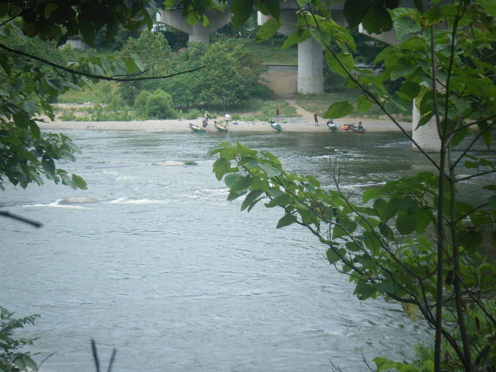
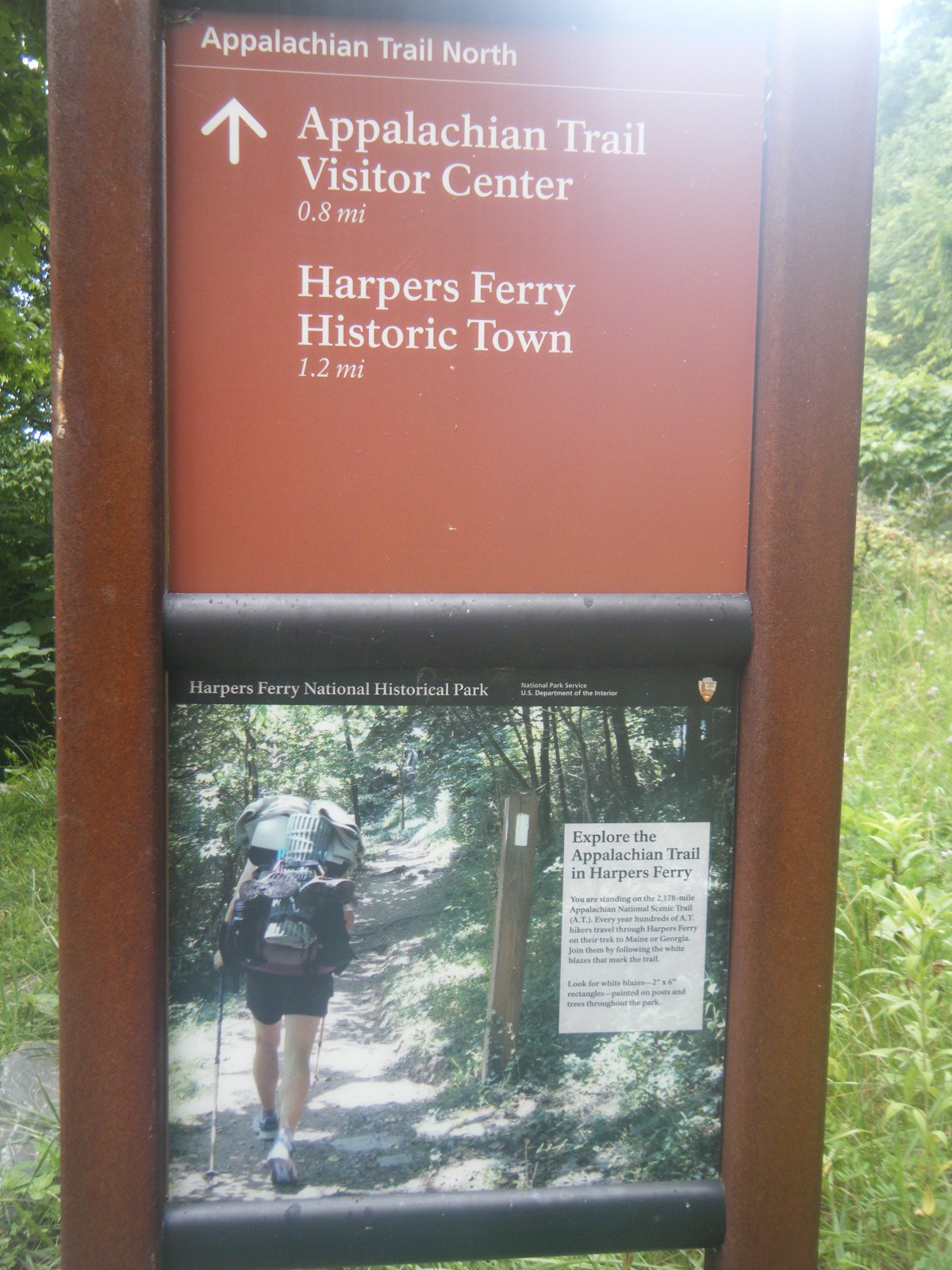
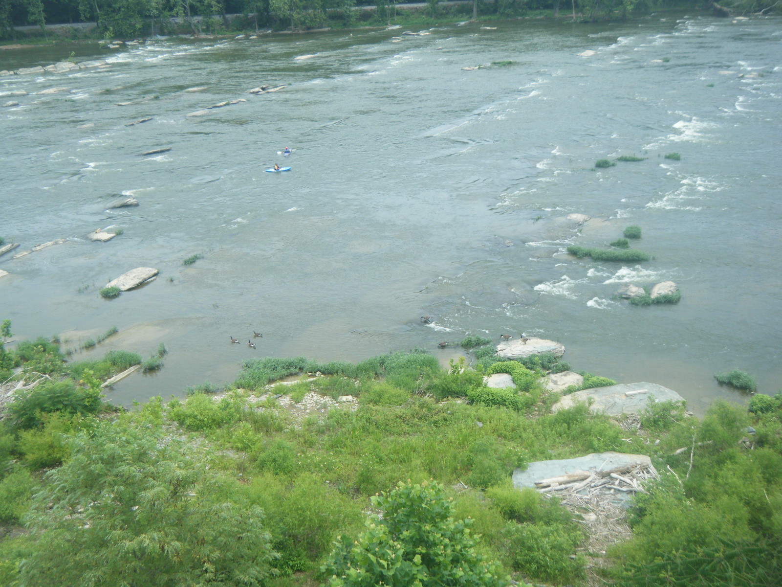
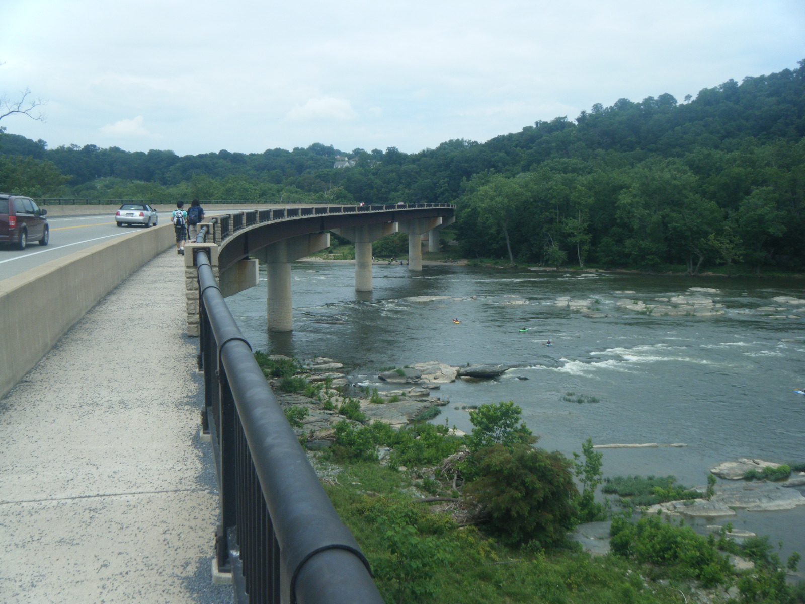
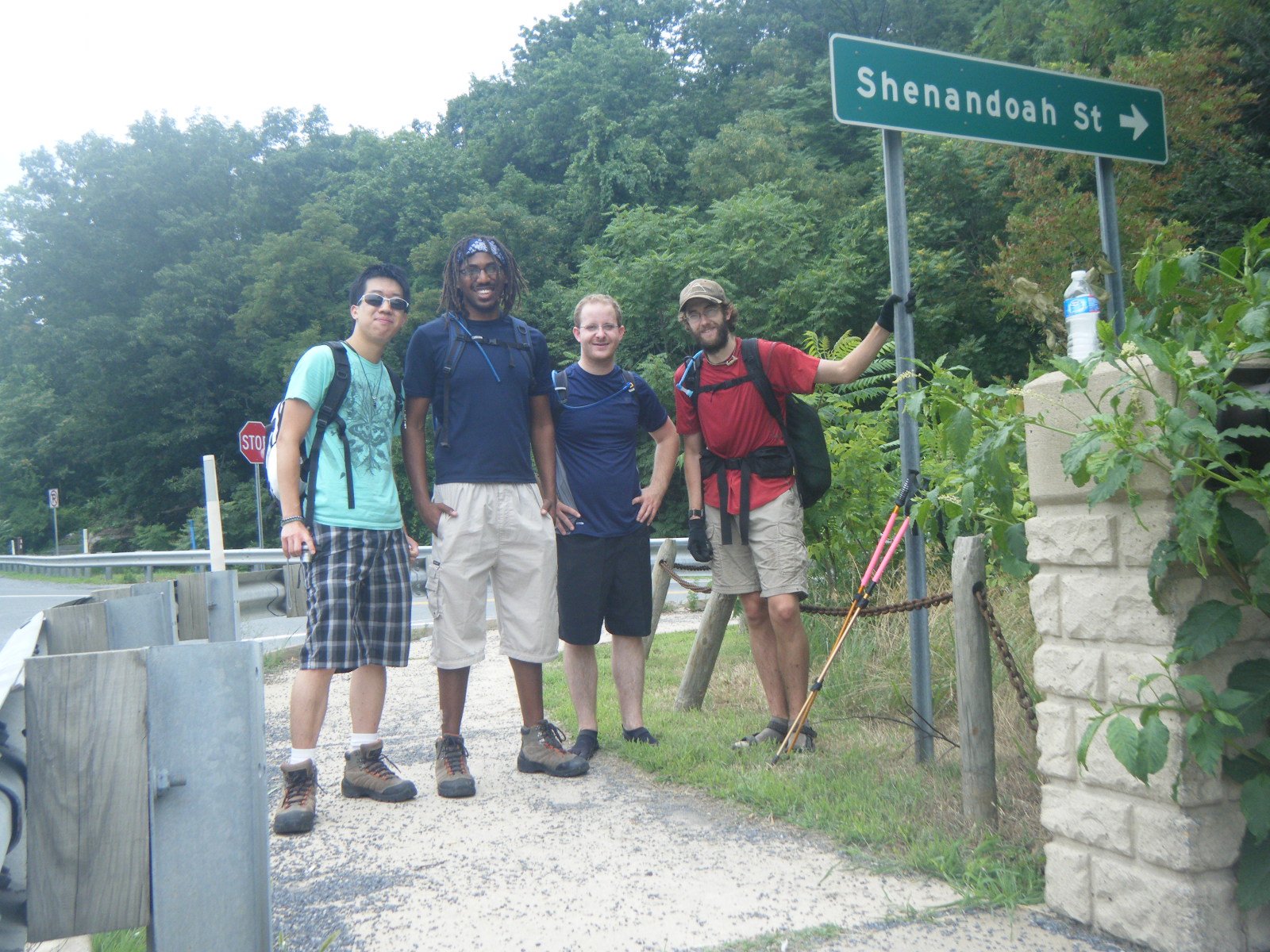
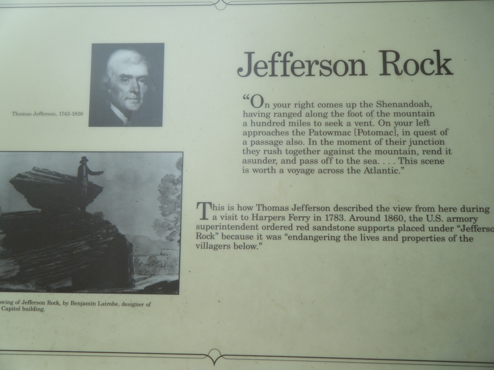
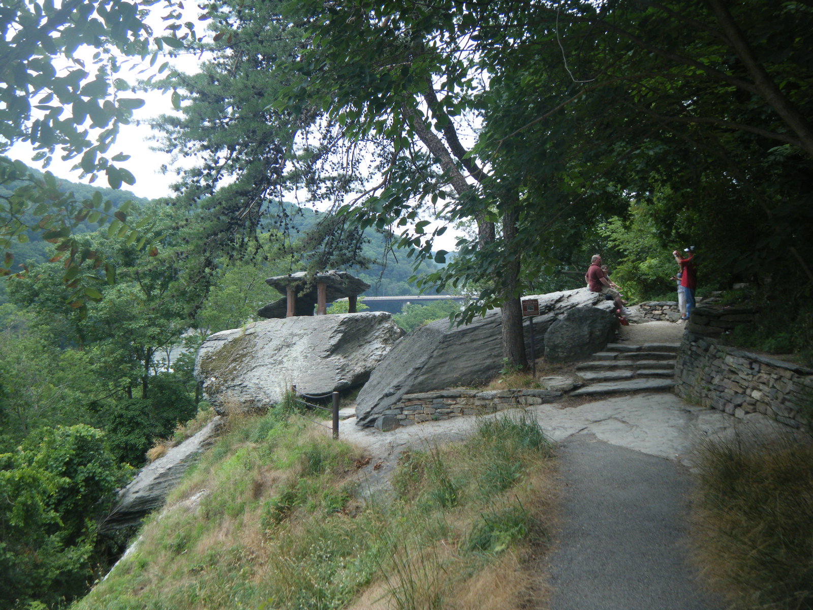
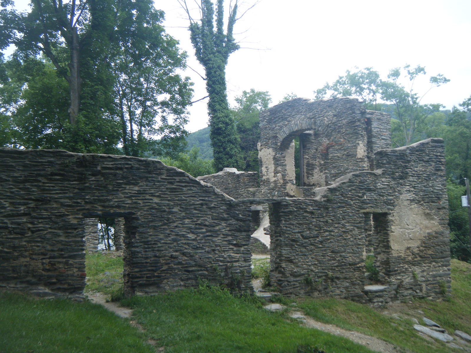
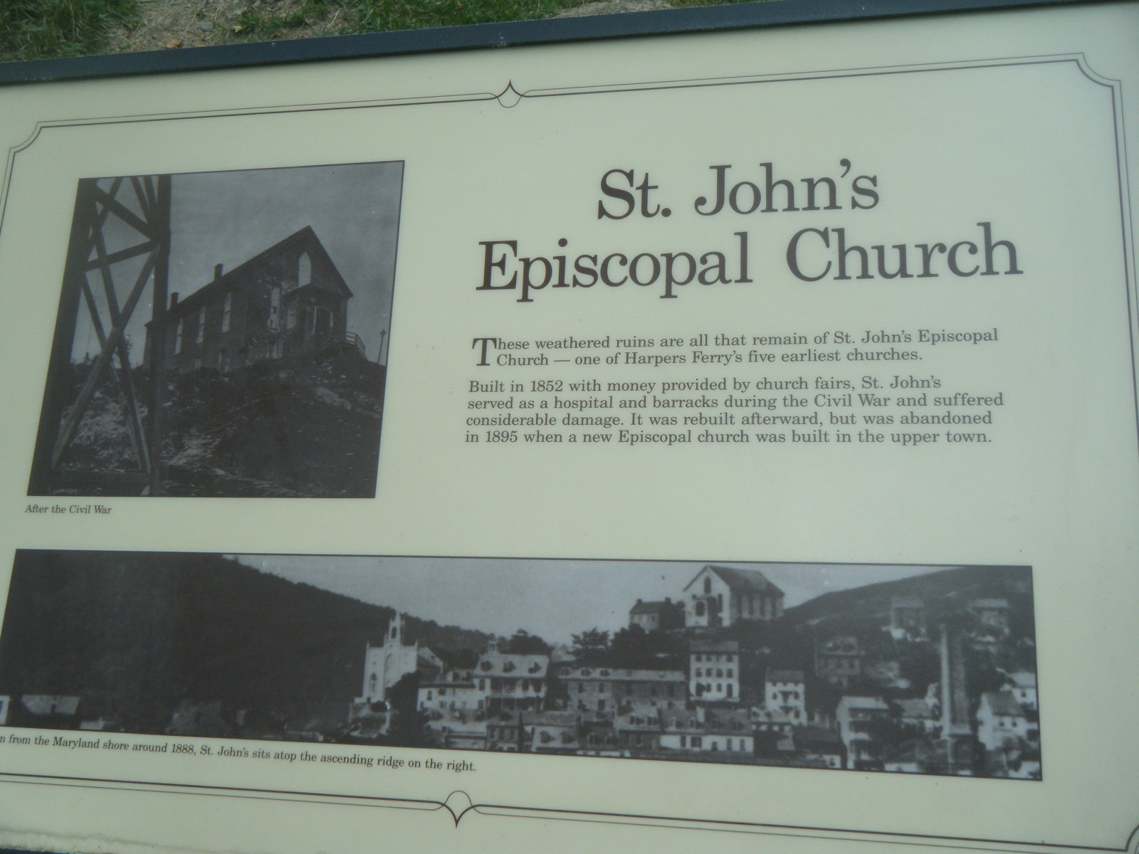
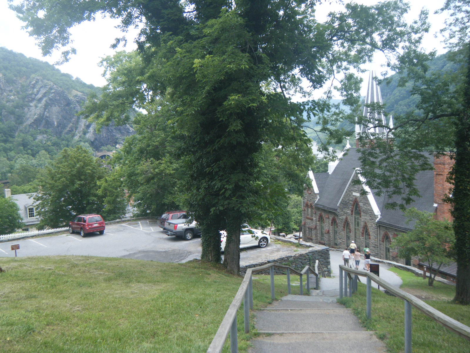
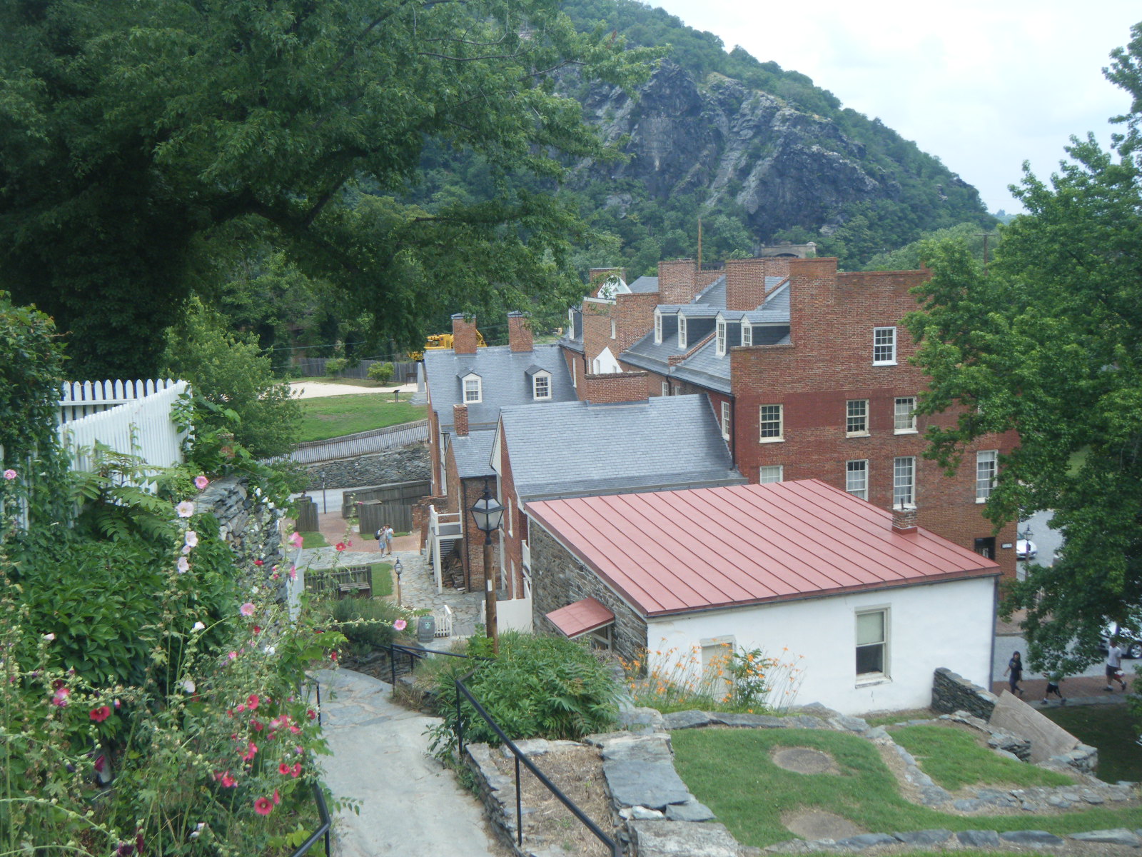
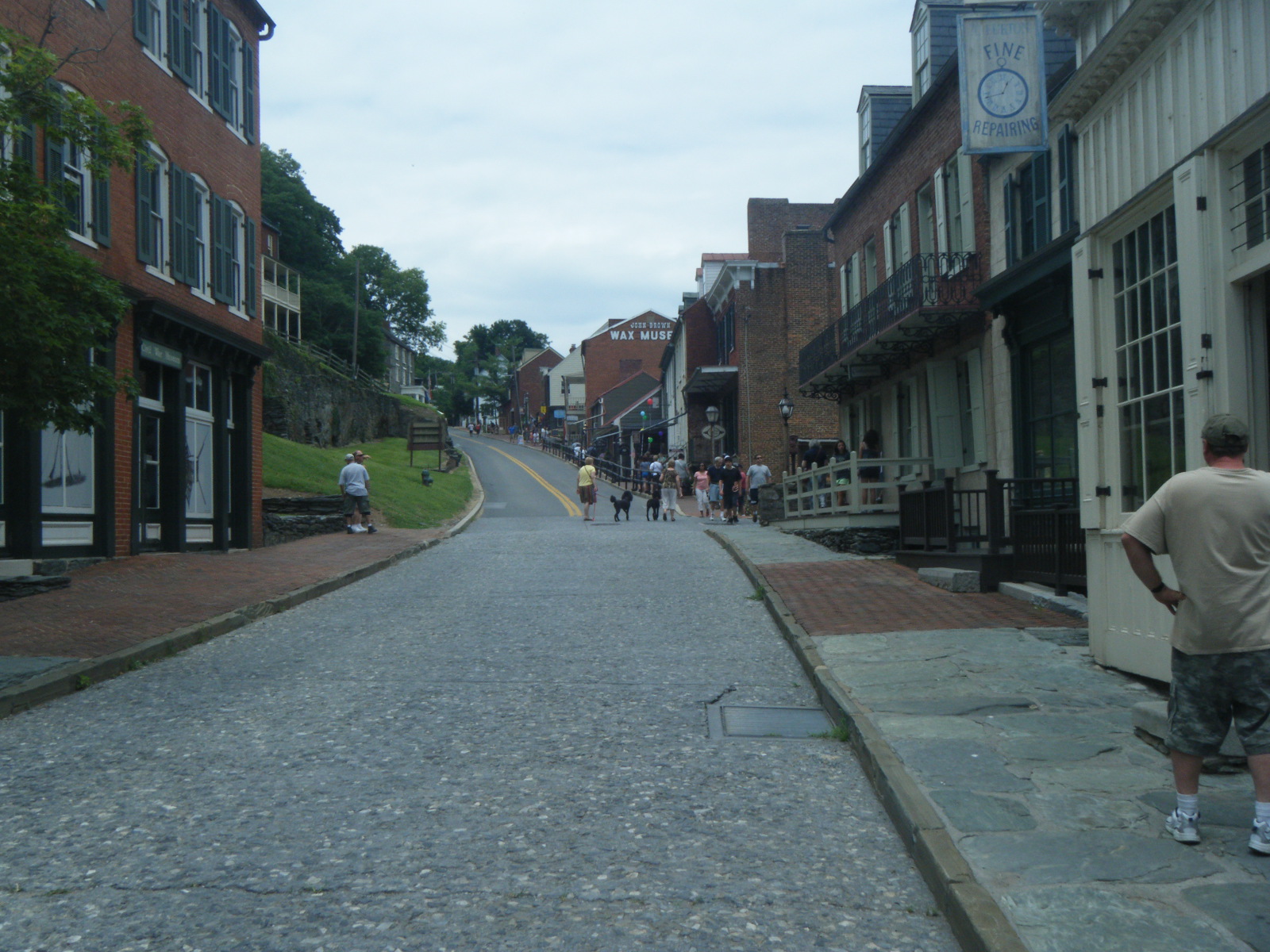
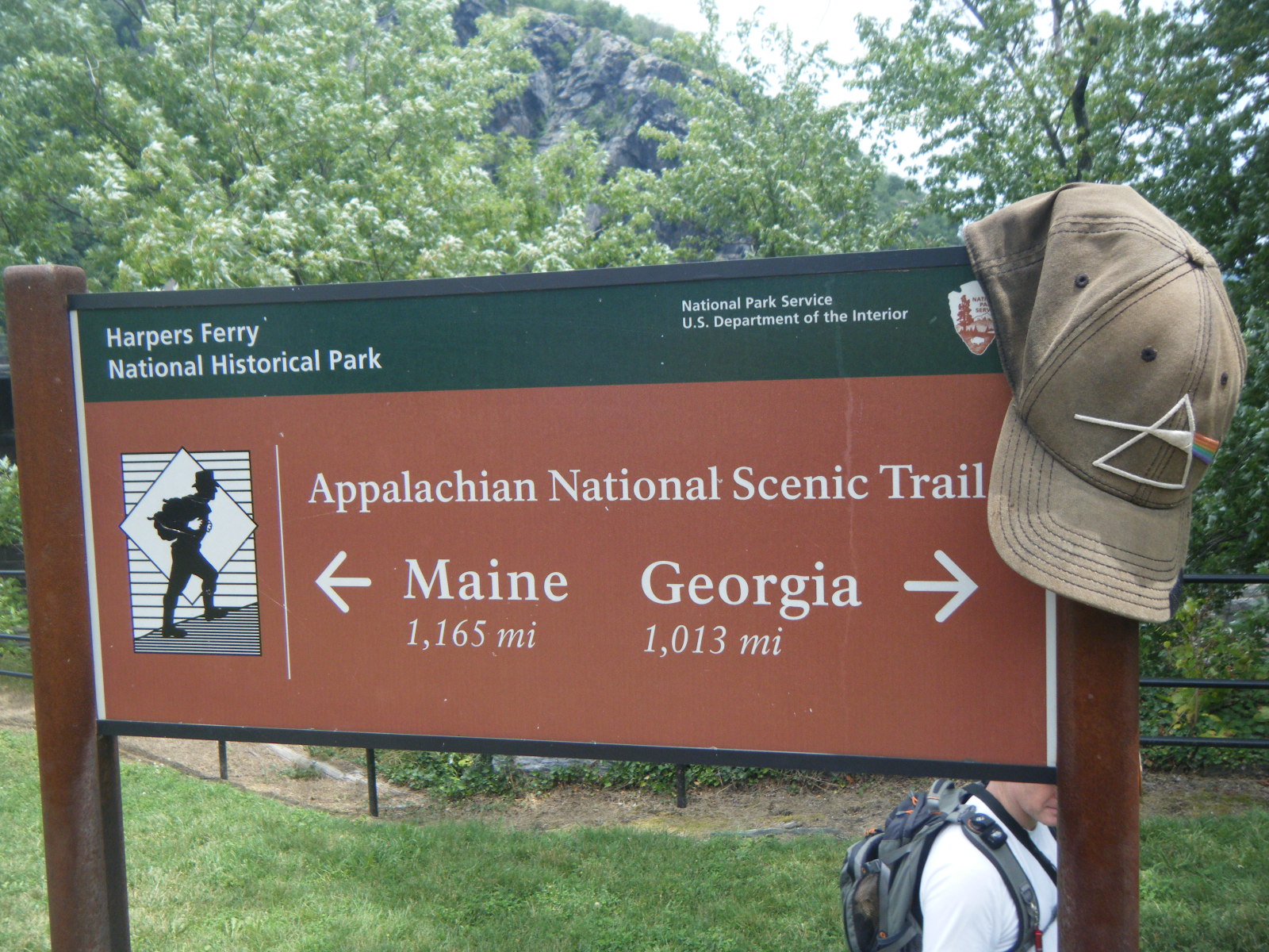
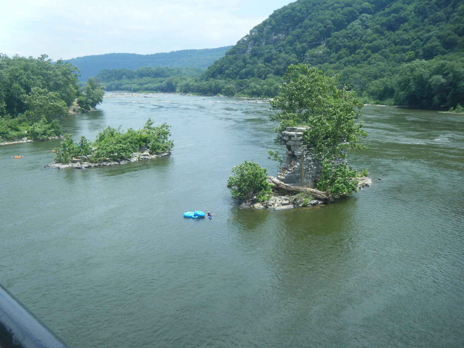
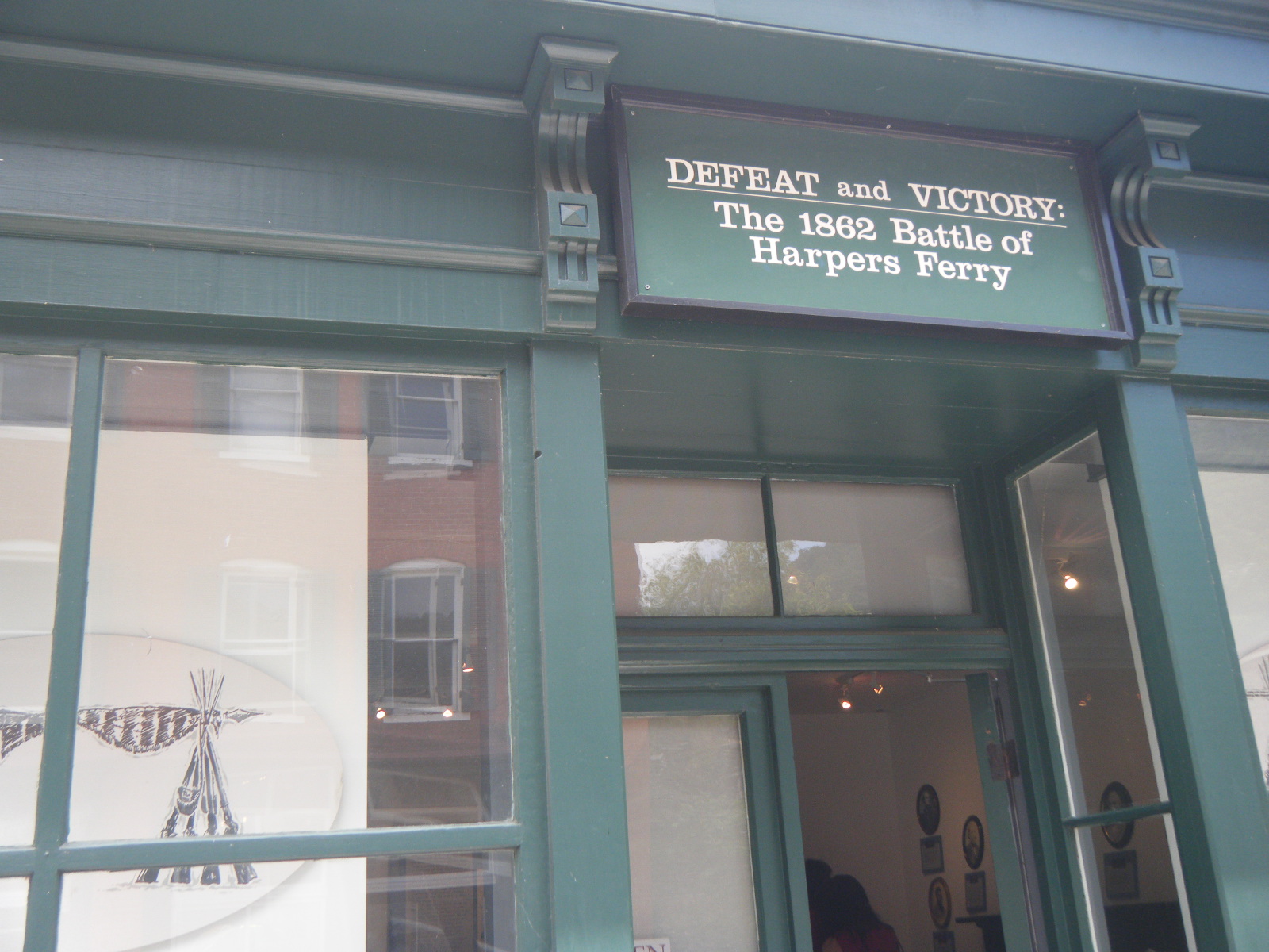
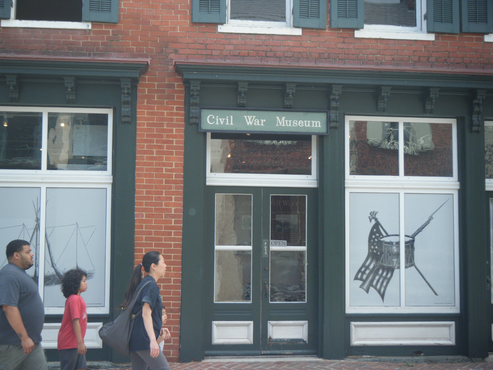
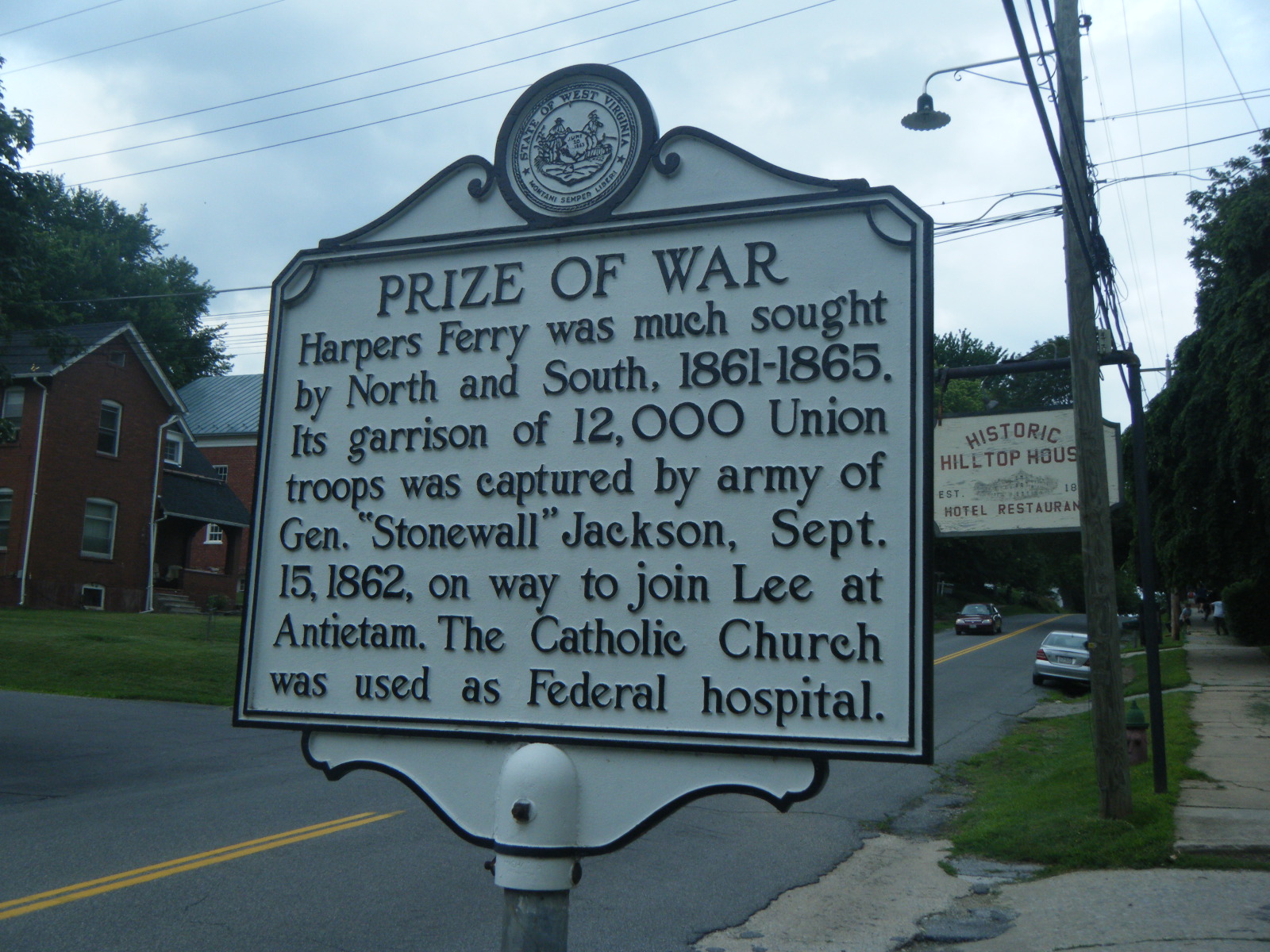
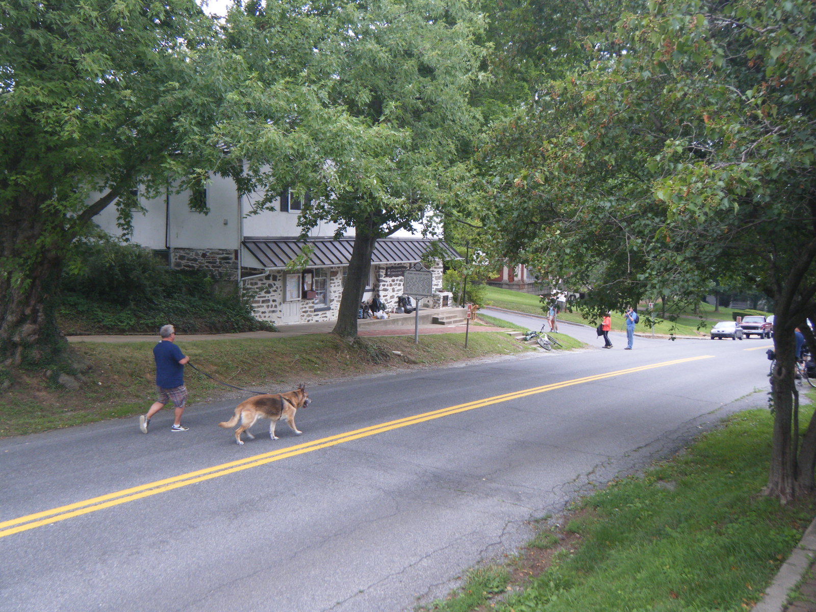
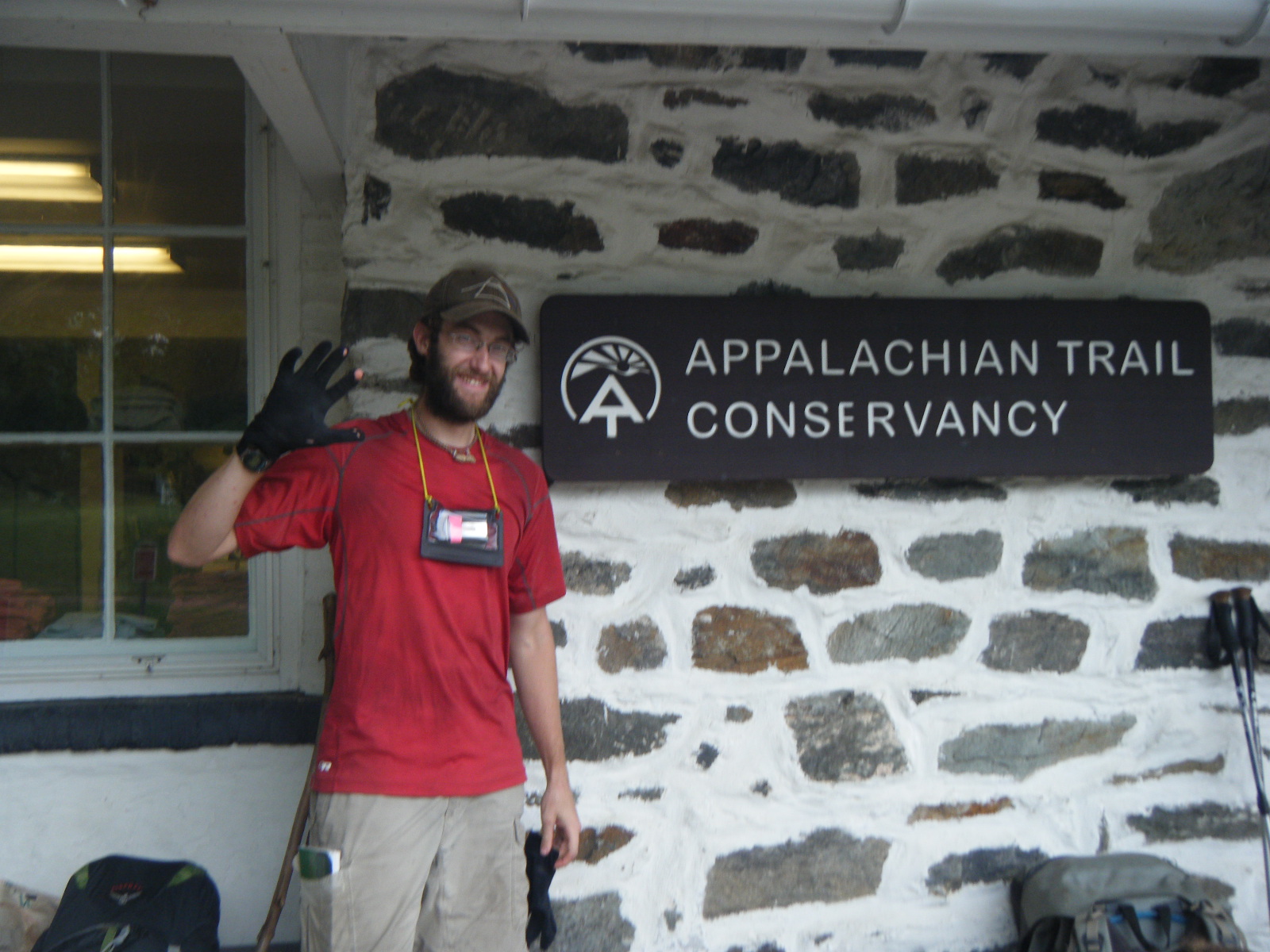
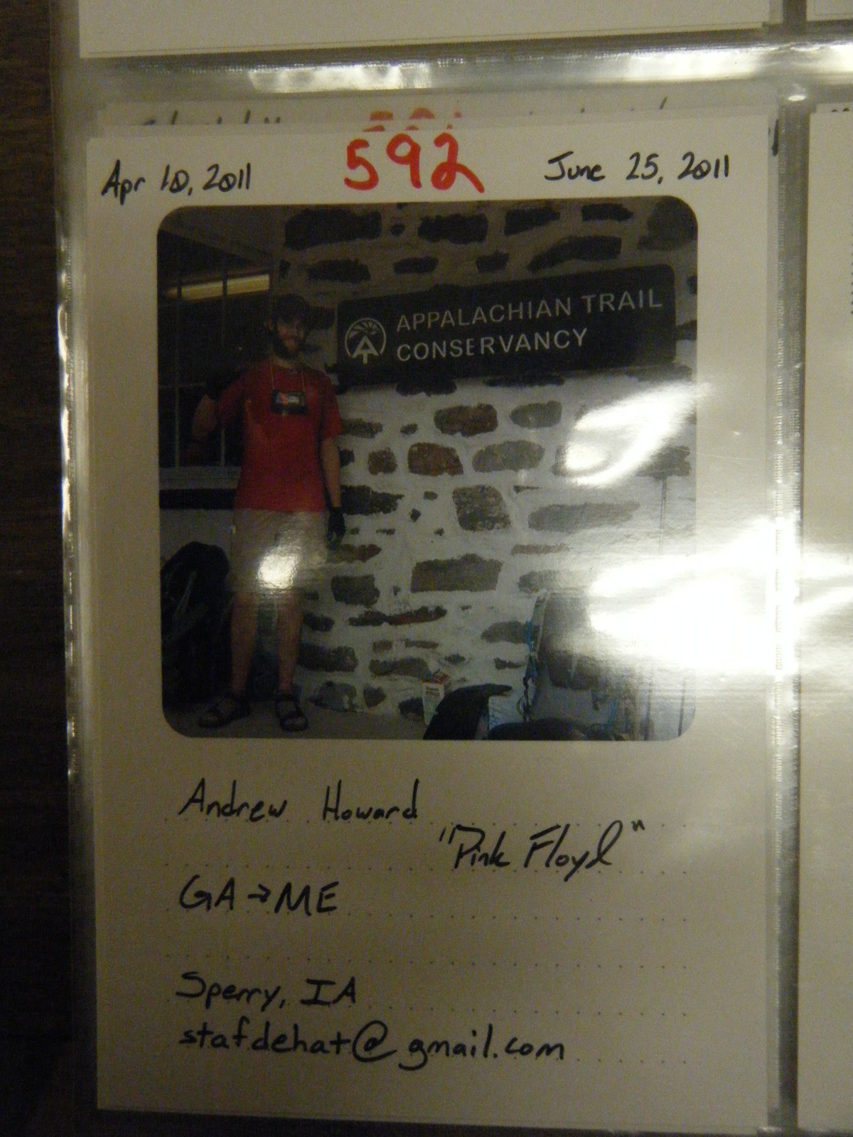
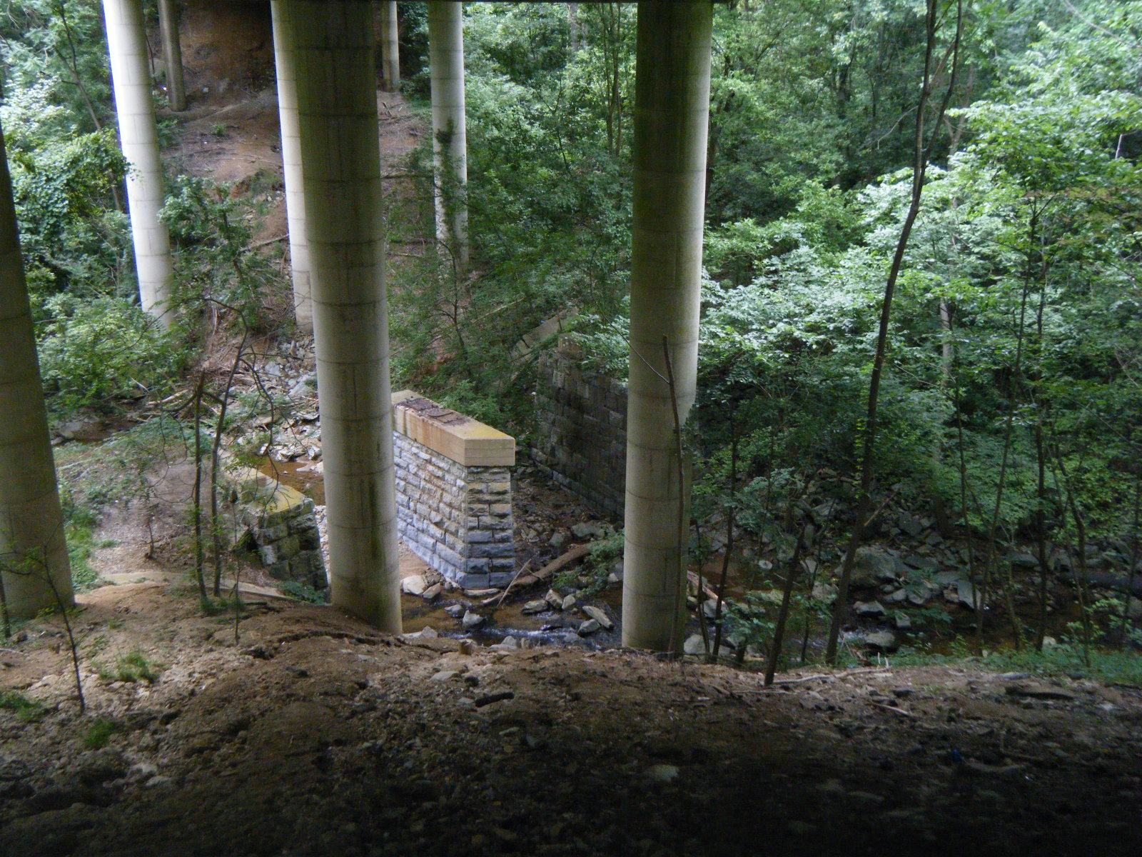
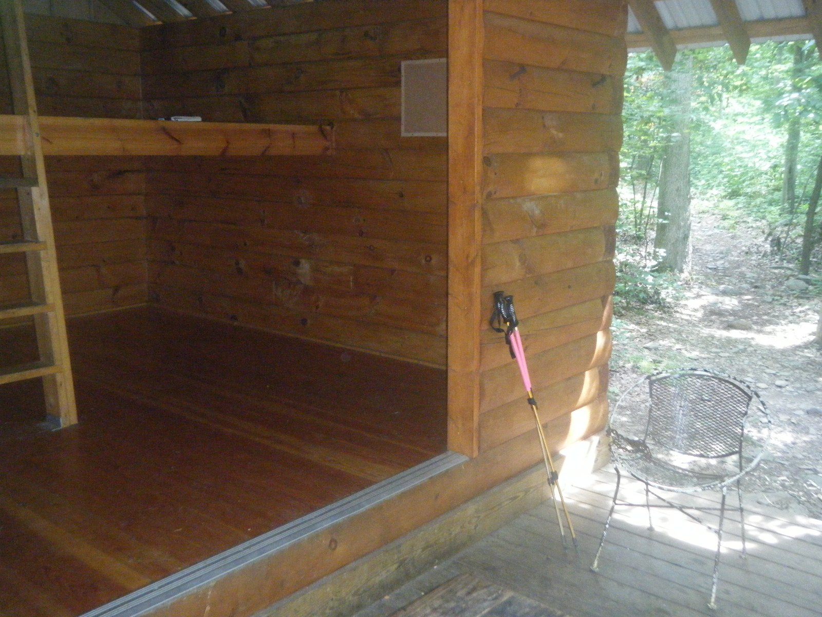
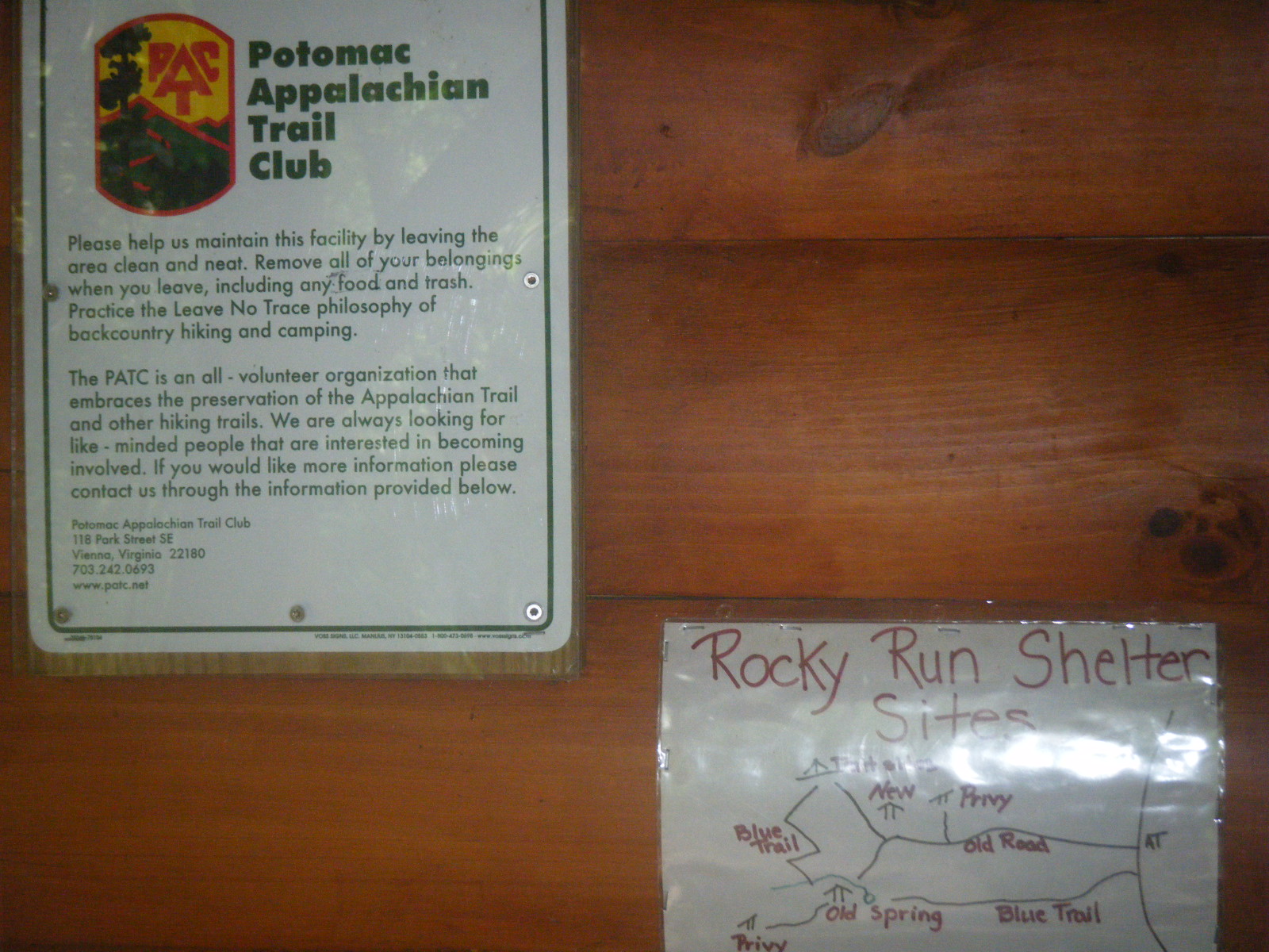
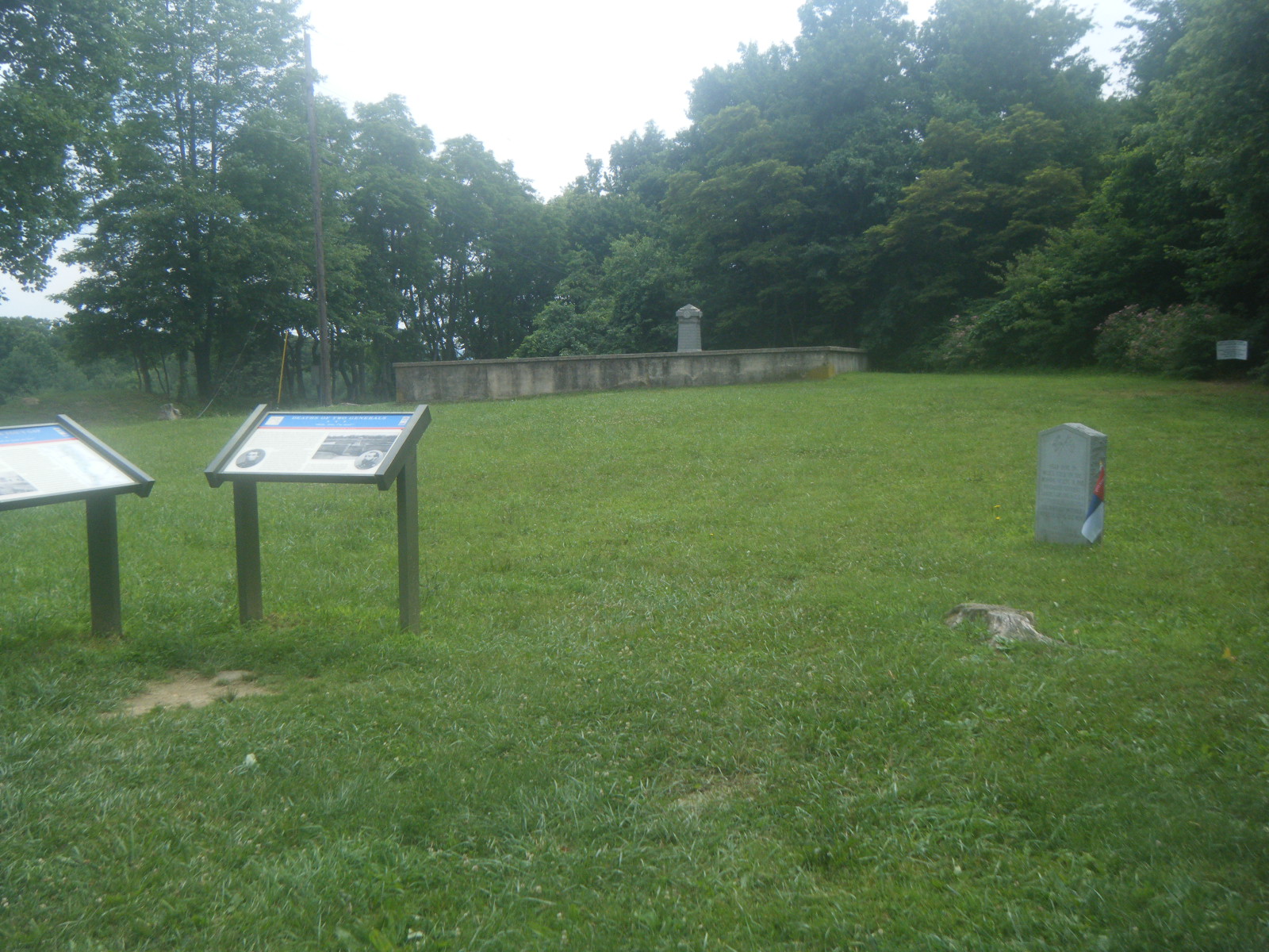
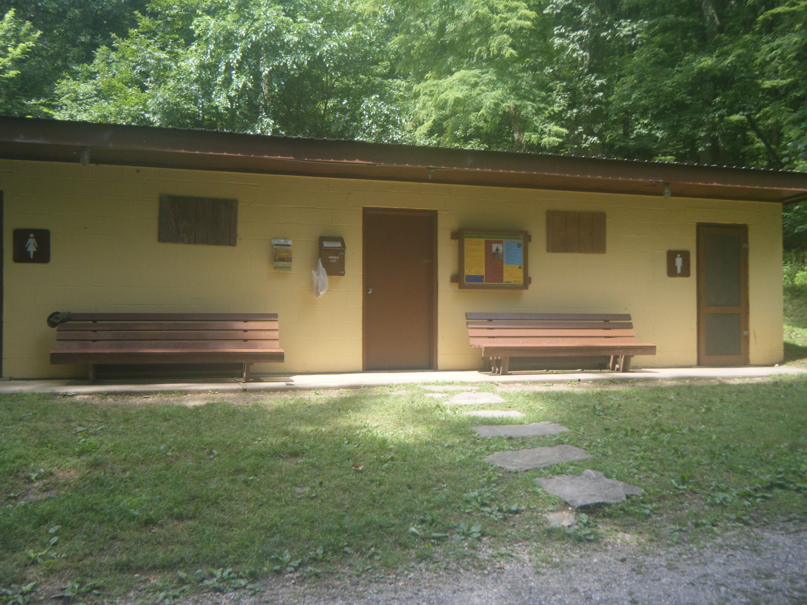
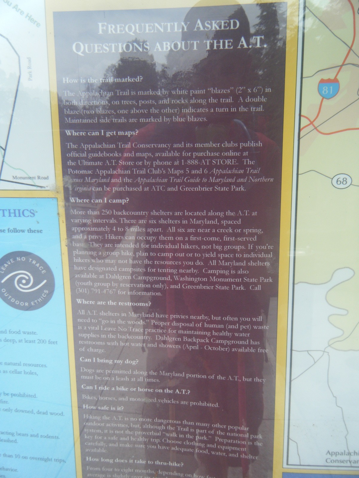
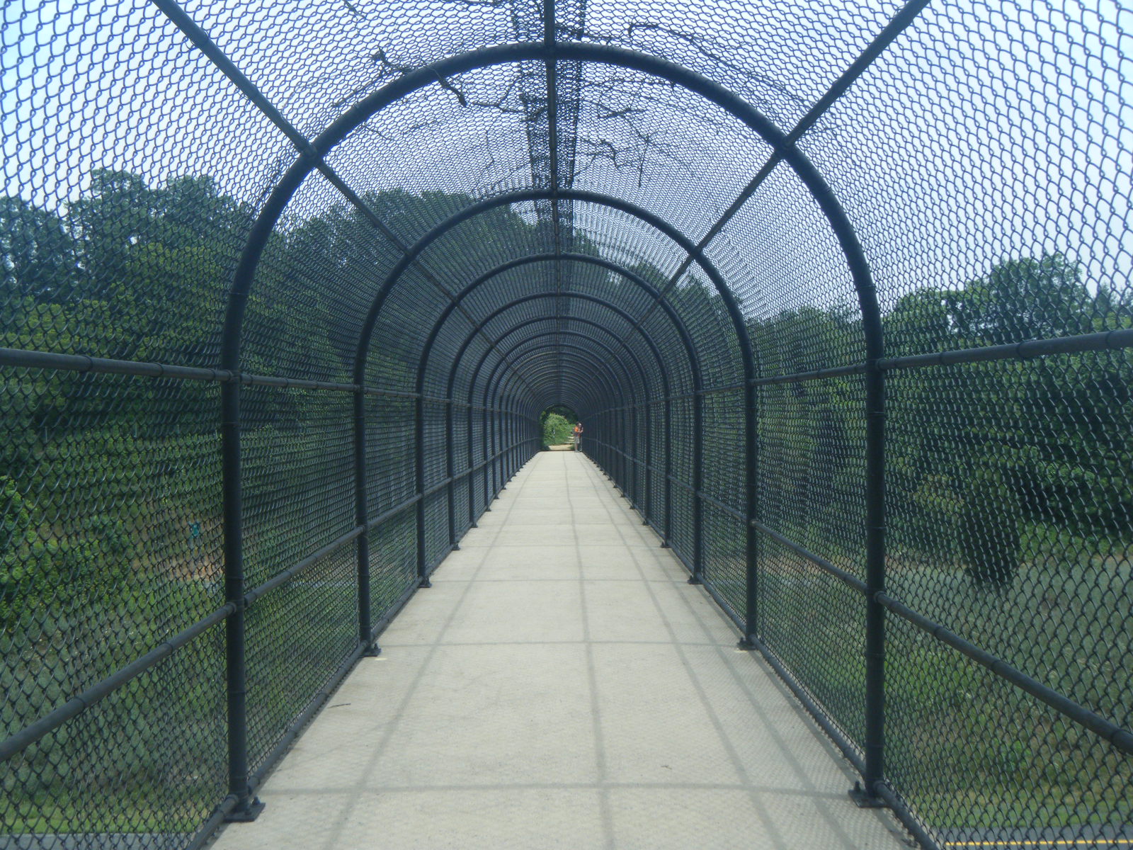
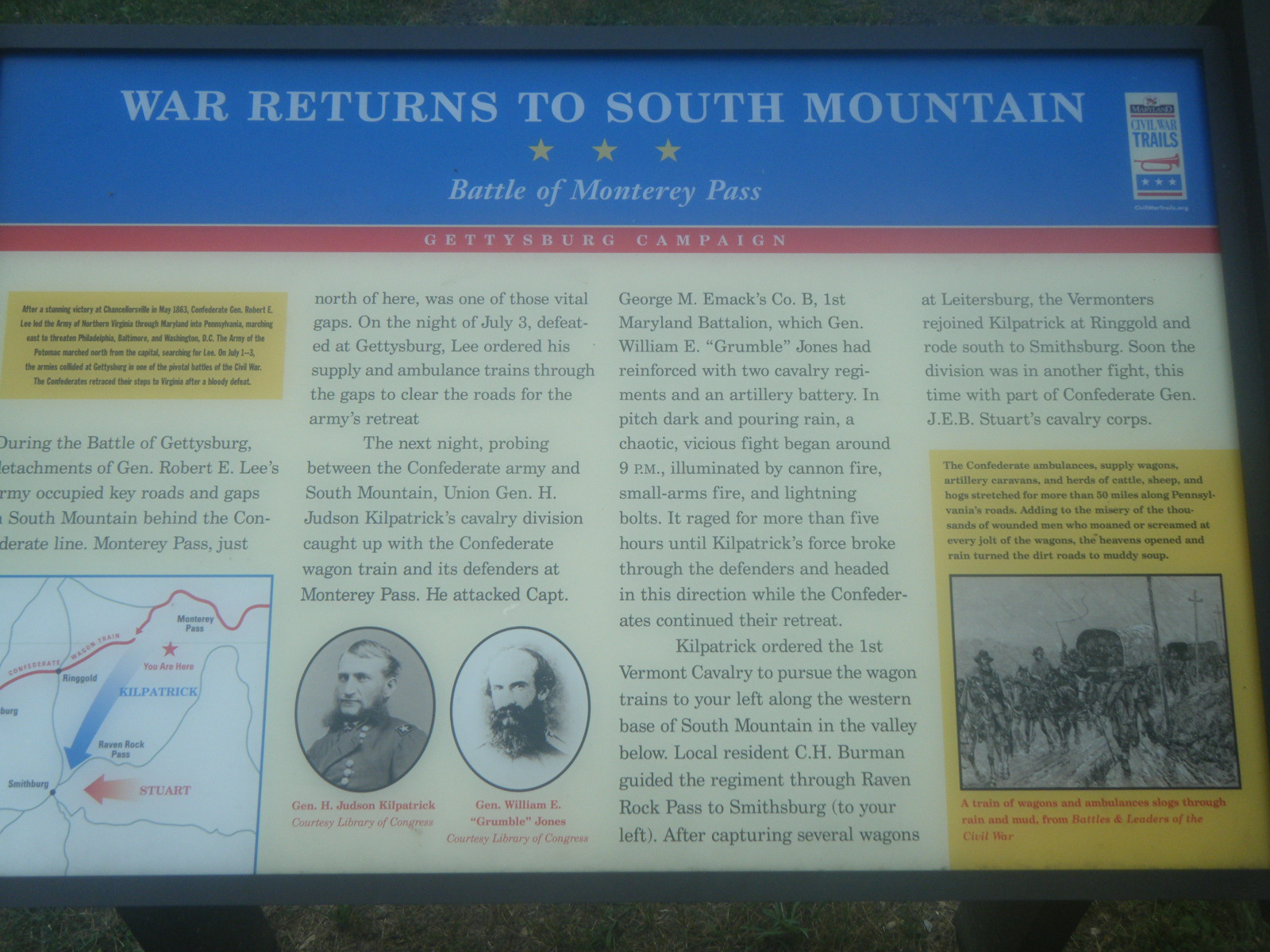
Saturday morning (June 25) I awoke at 6:00am with a headache, and I knew immediately it was likely due to dehydration. I hadn’t drank much the previous day, and even though I felt fine while hiking, the headache confirmed my suspicions that I should have been drinking more. I slept fitfully for an hour then drank some water and took some pills at 7:00 and went back to sleep. I ended up waking at 9:00am and I was walking by 10:00. It was about 10 miles to Harper’s Ferry and I arrived at 1:00pm. On the way into town, while walking across a bridge, I passed three guys doing a day hike as a bachelor party. Regretfully I forget their names (though the betrothed was Andrew), but I gave them this website address so maybe they’ll comment and remind me. They had never met a thru-hiker before so I chatted with them awhile and answered all their questions, then took a group photo and moved on. While hiking along the South edge of town, I noticed the blue-blazed side trail that led 0.2 miles to the ATC headquarters, but the trail was labeled “Harper’s Ferry Visitors Center”, so I didn’t take the trail. I continued walking straight through historic Harper’s Ferry and across the railroad bridge into West Virginia and then turned left (the wrong way) and walked at least half a mile before realizing I’d missed both the ATC HQ and all the restaurants, and to top it off I was quite a ways off the AT. I turned back and ate at Coach House Bar & Grill (high prices, marginal food) then continued heading west on High Street to the ATC HQ where I found Daydreamer, Hollywood, Pickles, and other hikers. I got my picture taken and officially registered as a thru-hiker (I’m NoBo #592), looked around, diagnosed their broken computer (bad video card), then hiked back East on High Street, stopped at the Cannonball Deli for second-lunch (good food, good prices – highly recommended), and hiked out of West Virginia again, this time correctly turning right at Maryland. After entering Maryland I did 15 pretty yet uneventful miles, totaling 24.7 for the day. Overall Maryland’s terrain is pretty nice – much nicer than “flat” Virginia. I stopped for the day at Rocky Run Shelter, and was surprised at how nice the place was. This shelter even had a finished hardwood floor. I met some new friends here, including Phlegm, Gravity, Pixel & Shazam – collectively they are The Booty Club. I don’t know why.
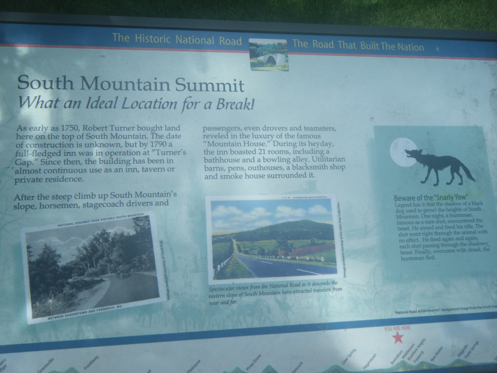
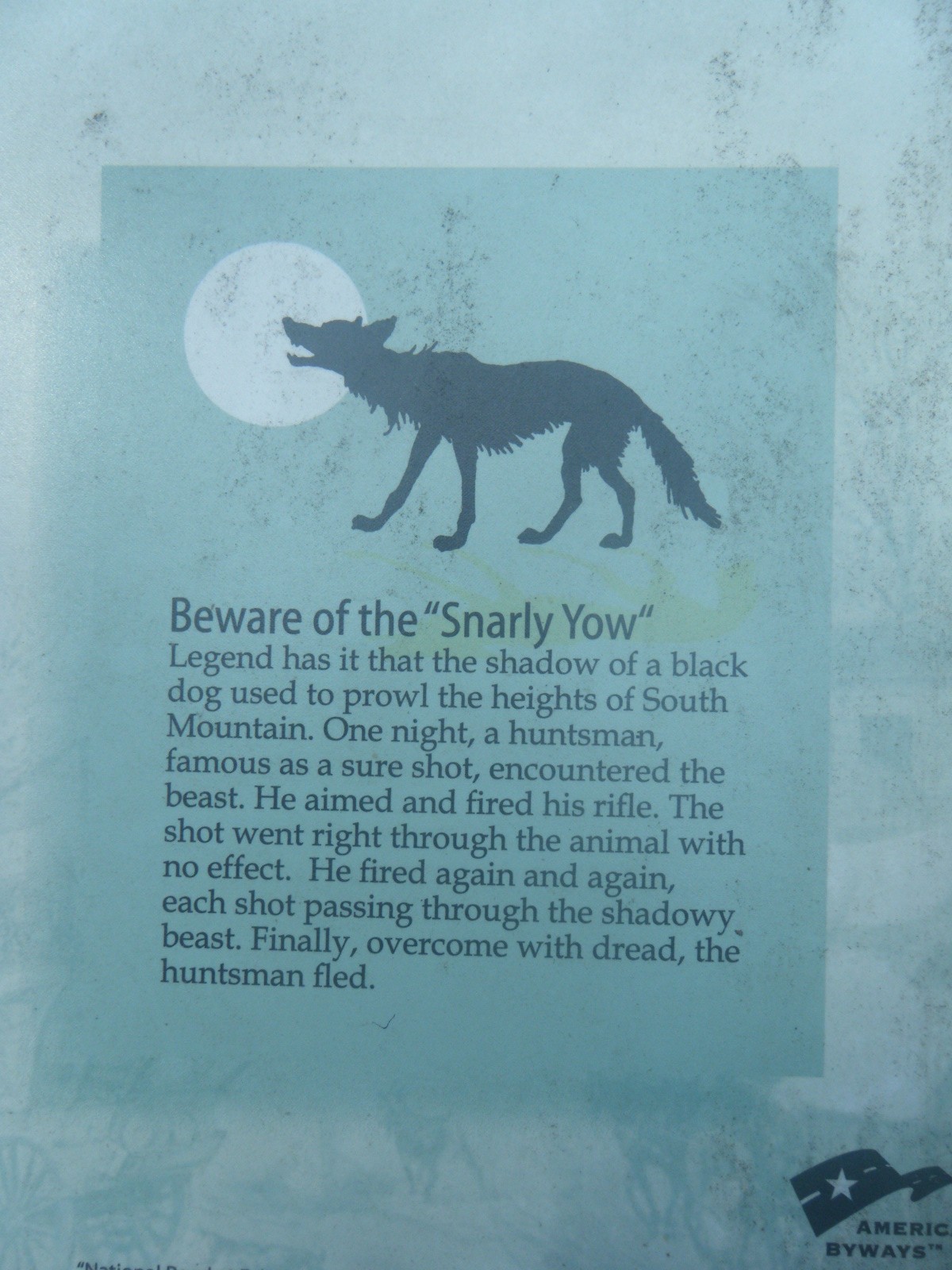
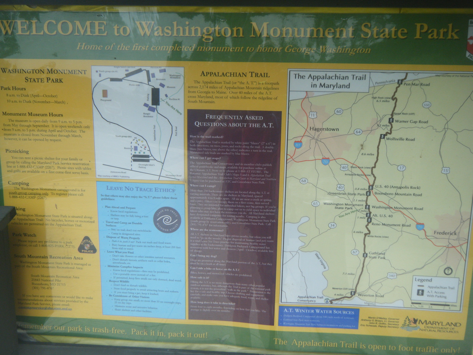
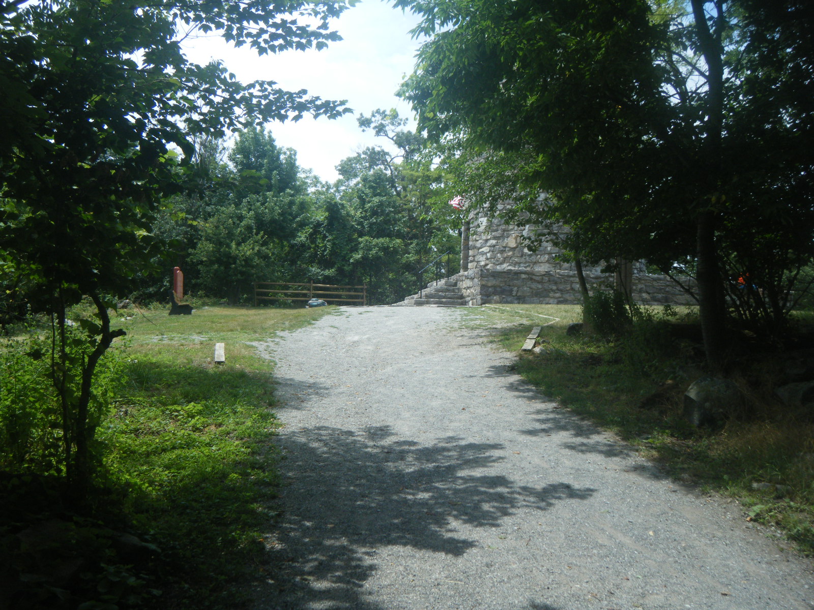
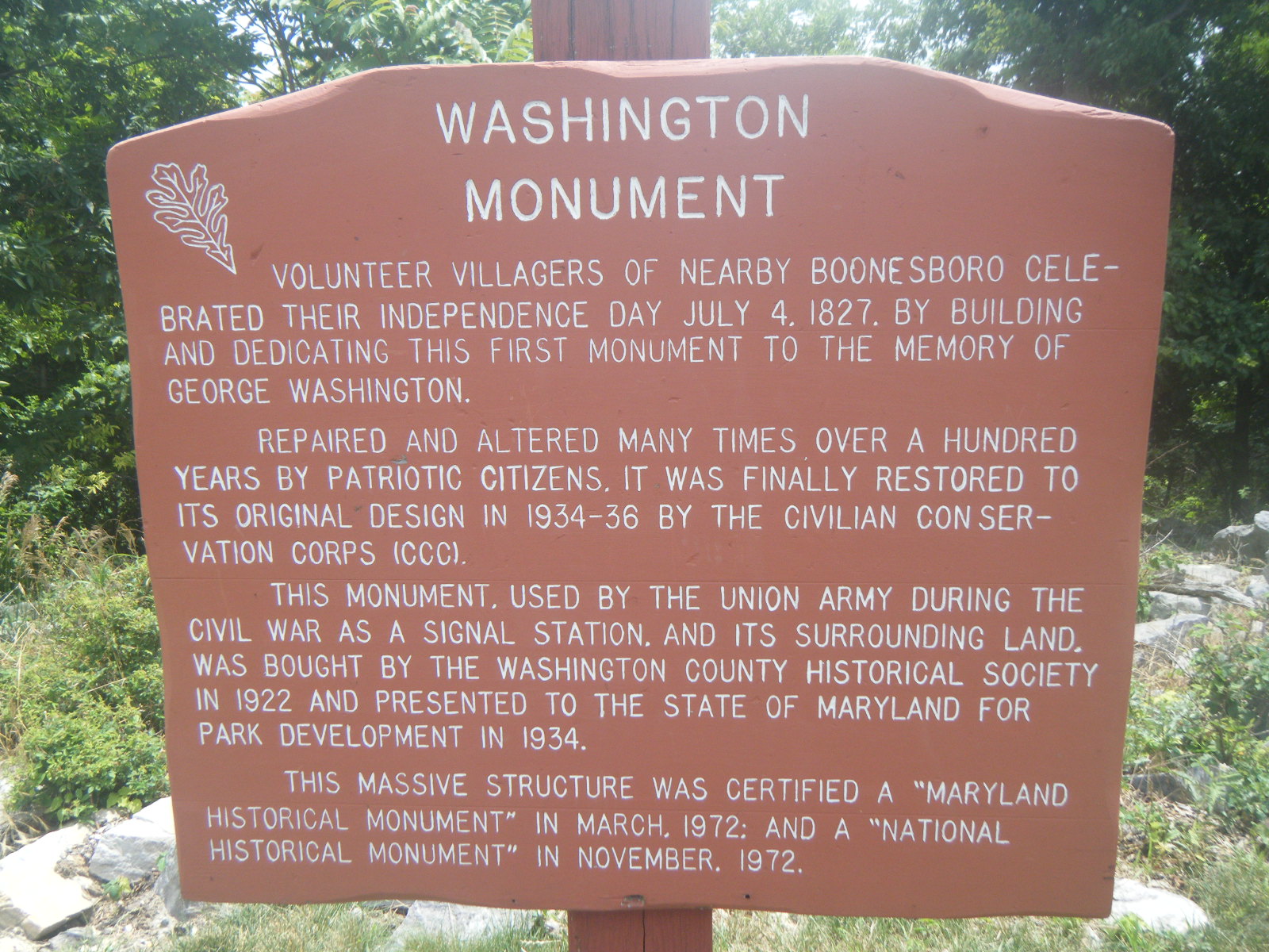
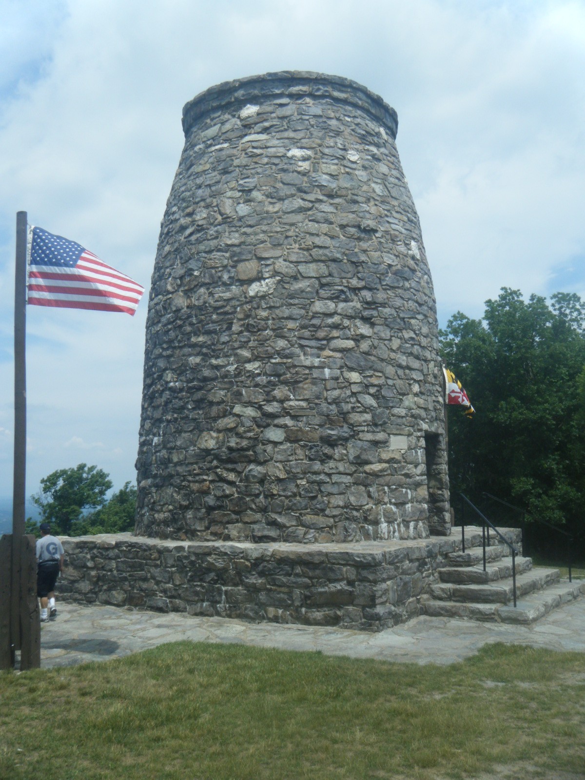
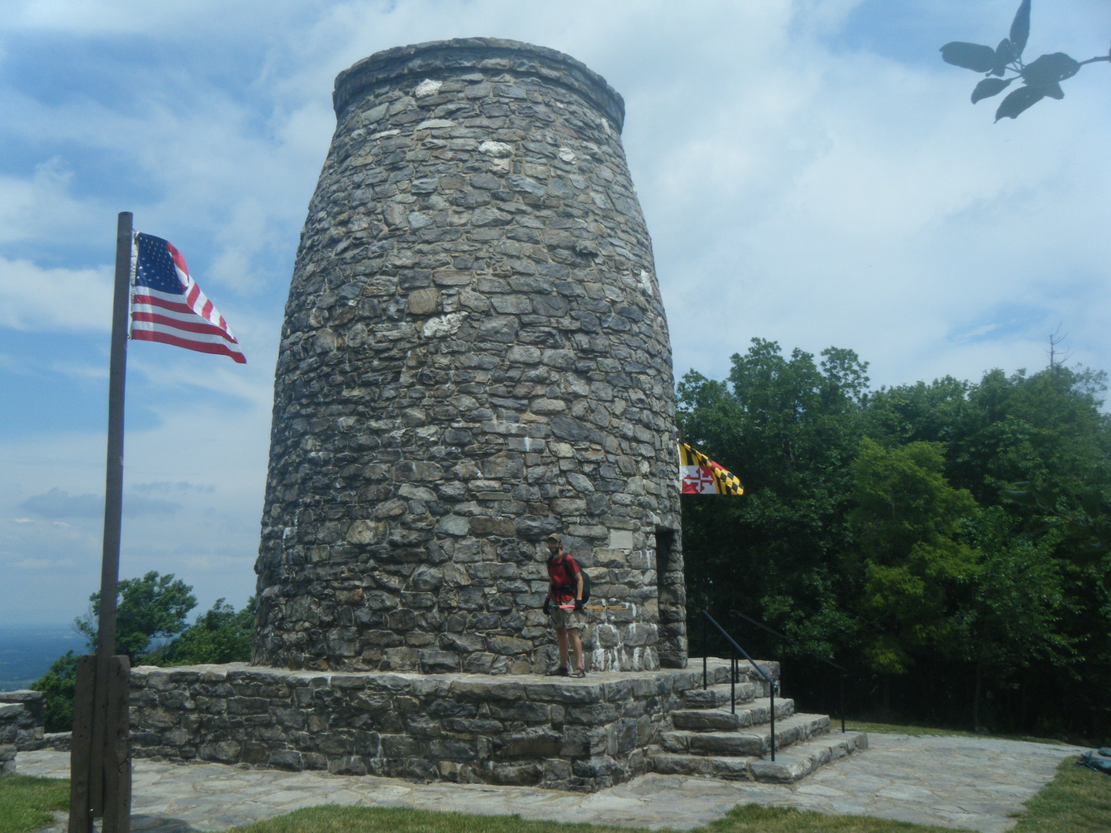
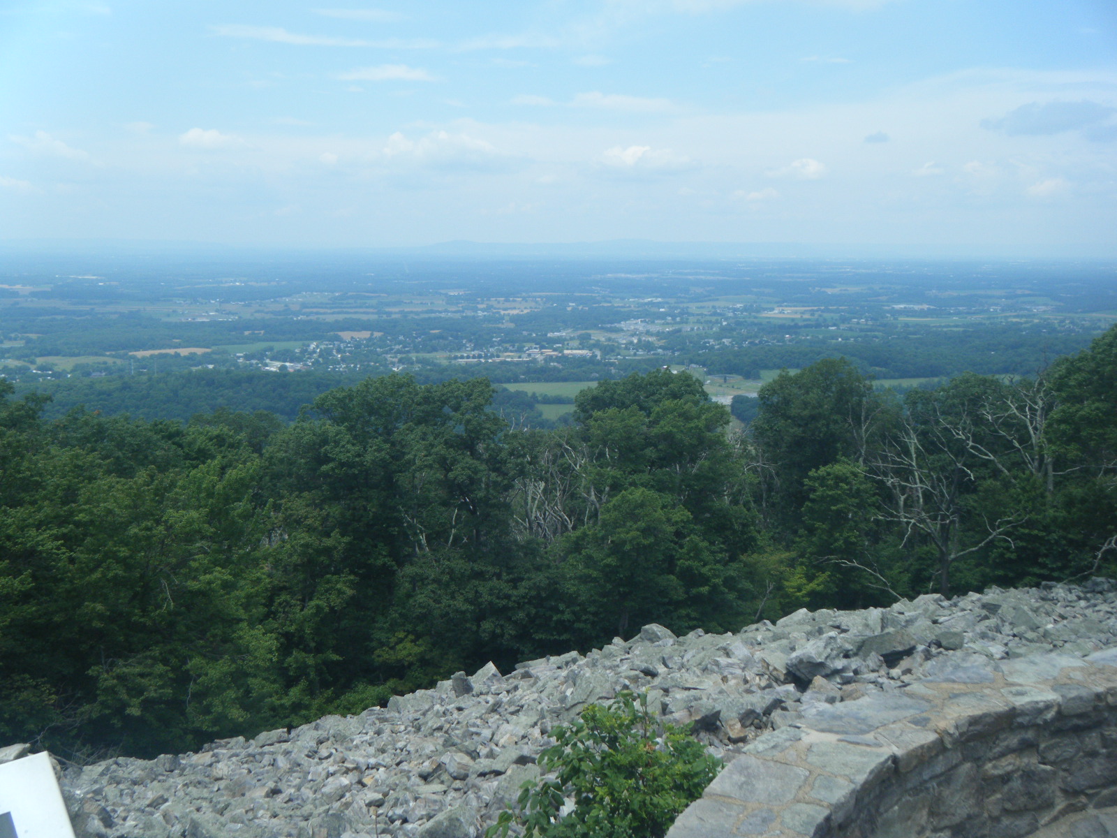
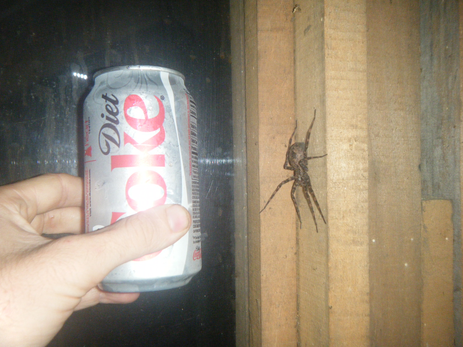
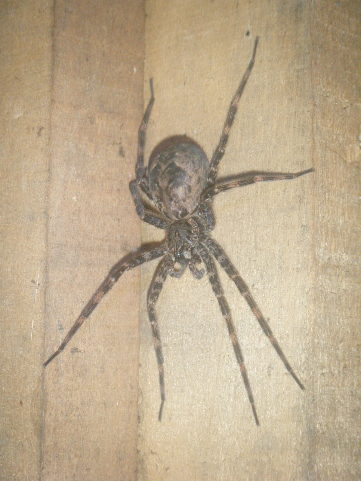
I got a late start on Sunday (June 26). I was hiking by 10:30am and had an easy hike to the Washington Monument (the first one – the one in DC is a remake). Took some pictures and filled up on water. The AT through Maryland goes through a few state parks, which is nice because they all have a faucet dispensing potable water. I then hiked on a few miles to the footbridge over I-70, at which point my guidebook indicated the presence of a tavern serving beer and food. I didn’t see any tavern, but there was a blue-blazed trail to US40, so I assumed the tavern was at the end of that trail. I followed the blue blazes to a parking area, but still saw no tavern, so I asked some locals that were just getting into their car. The consensus was that the tavern was down the road a bit, just over the hill. I turned left and followed US40 over the hill and about 1/2 mile until I found the Dogpatch Tavern. I don’t know how anyone is expected to find the place using the guidebook’s (lack of) instructions. Despite its obscurity, the place had some pretty good food for good prices. I ate a bacon cheeseburger, fried pickles, chili, and a BBQ beef sandwich. I drank a Honey Brown Lager. All was very tasty, but with that much sitting in my stomach I wasn’t able to push the mileage, so I hiked only 7 more miles to Ensign Cowell Shelter, totaling 15.5 for the day. This shelter was only 0.2 miles from a paved road crossing, so I wasn’t terribly surprised to see a group of 8 twenty-somethings at the shelter. I was however surprised to see that they were there to provide trail magic – they were grilling mini pizzas, black bean burgers, chicken brats, and more. I enjoyed the food, drink, and conversation, and even got to play a little guitar. During the evening we also noticed a massive spider in the shelter, but someone said they were pretty sure it wouldn’t harm humans so we let it live. It was on the top level of the shelter anyway, and I was sleeping on the bottom, so I didn’t mind.
That evening as everyone crawled into bed, one guy began to make himself rather obvious. He’d neglected to bring a sleeping bag or warmth of any sort, and he had drank significantly more alcohol than absolutely necessary. The man laid down on the floor in front of the sleeping platform and entered what I presume to have been a semi-conscious state in which he rolled around restlessly while moaning progressively louder and occasionally choking up something unspeakable and spitting. I was certain the man was about to vomit, so I wasn’t surprised when I heard him get up and start wandering. I was however surprised when he stumbled into the grill, knocking it off the stand and toppling the stand, then stumbled sideways into his own guitar, someone’s pack, and the trash bag full of empty aluminum cans, knocking every item off the hooks in the shelter wall and onto the floor and sleeping platform. Everyone awoke and made sure the guy was okay, then he crawled onto the sleeping platform right next to me and commenced moaning and spitting. As it happened, he had laid down facing me so his spit naturally gravitated in my general direction. Not wanting to be covered in spit or, inevitably, vomit, I moved my sleeping pad/bag & pillow to the top level of the shelter, opting to take my chances with the spider. Immediately after I moved, the man began squirming all over the sleeping platform and I suppose eventually crawled onto his friend, because his friend took the guy outside into the rain, pitched a tent for the guy, and put him inside for the evening. Finally, everyone was able to go to sleep worry-free.
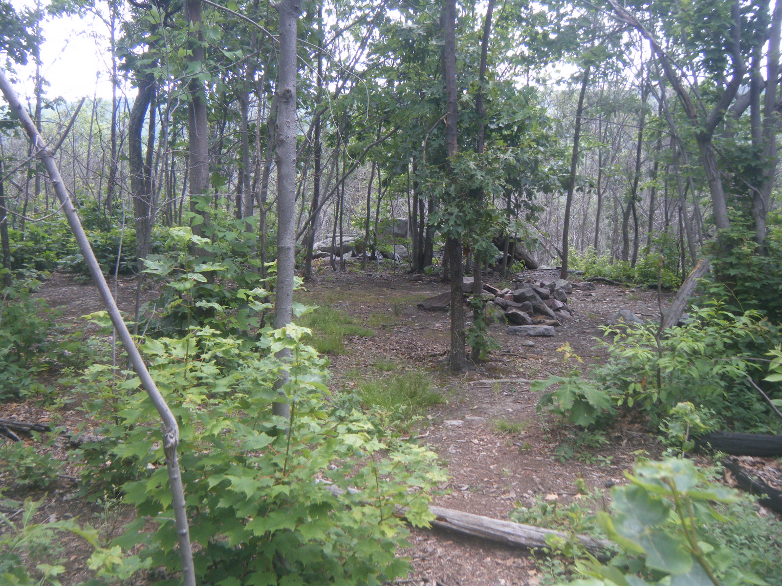
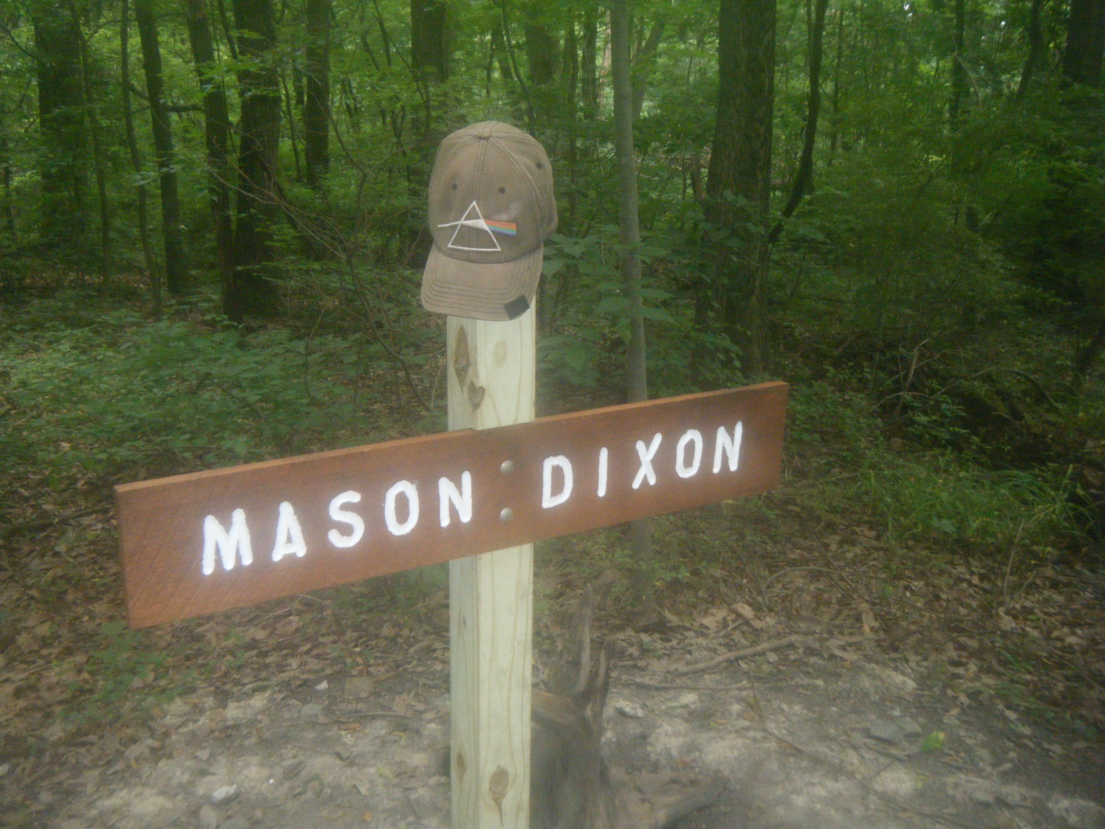
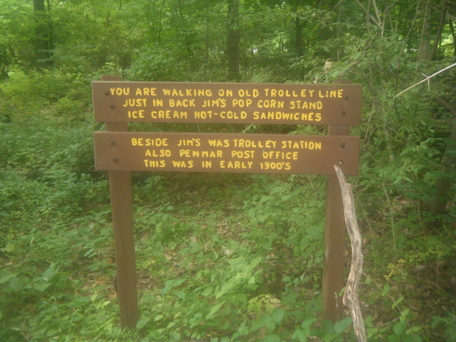
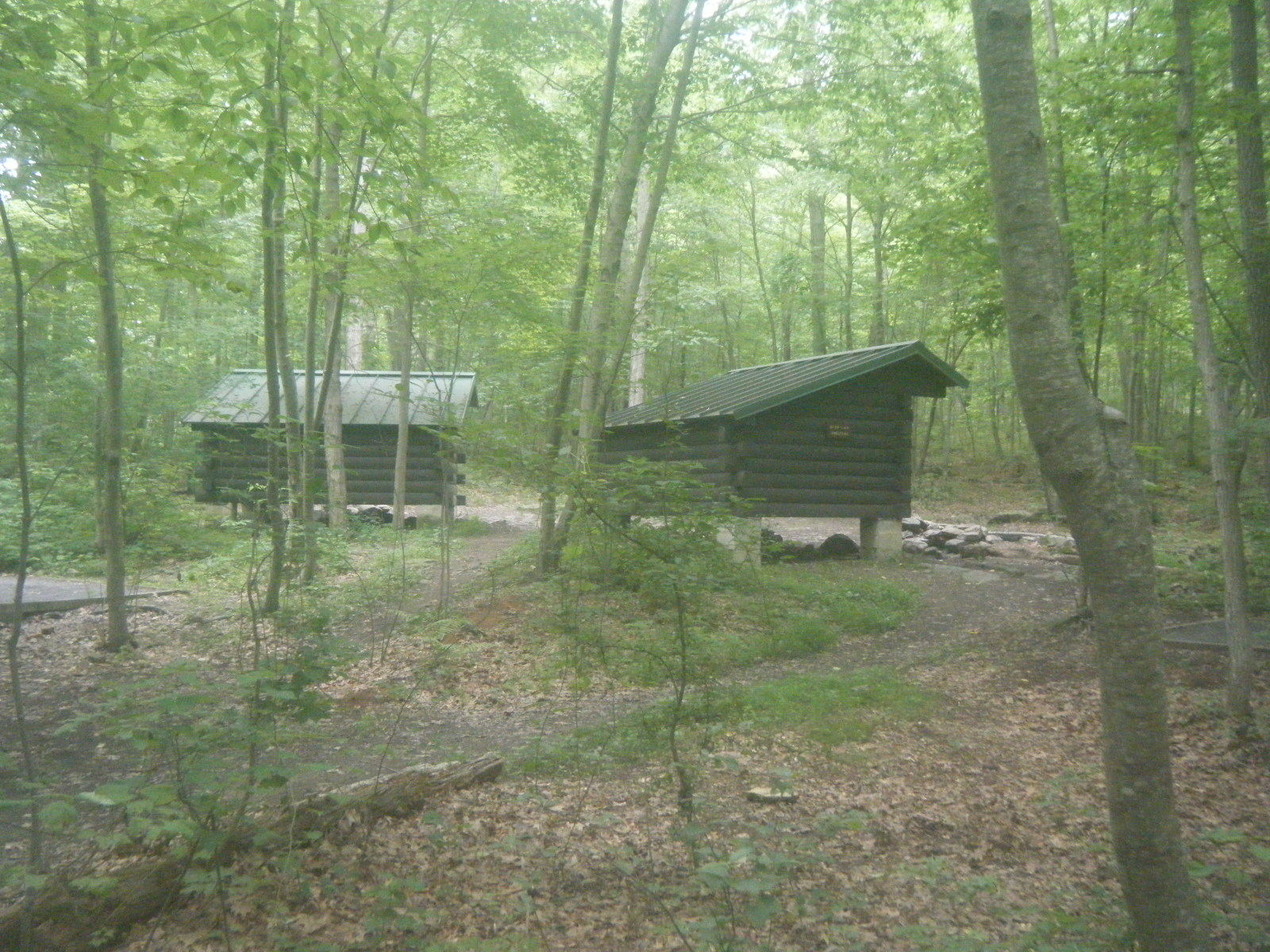
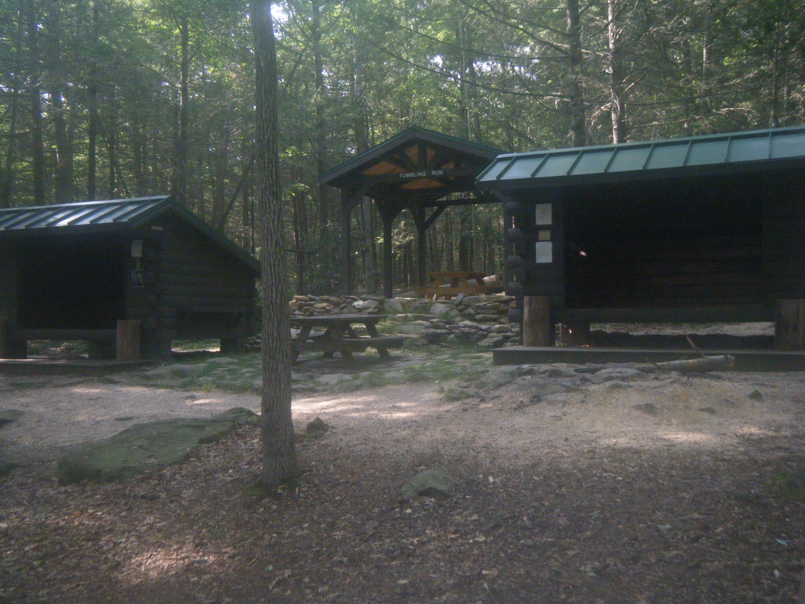
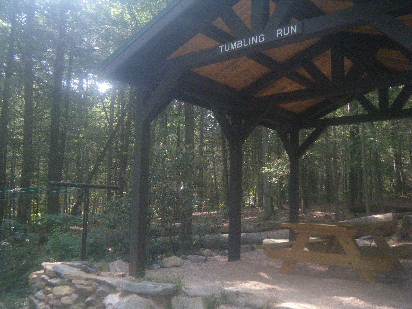
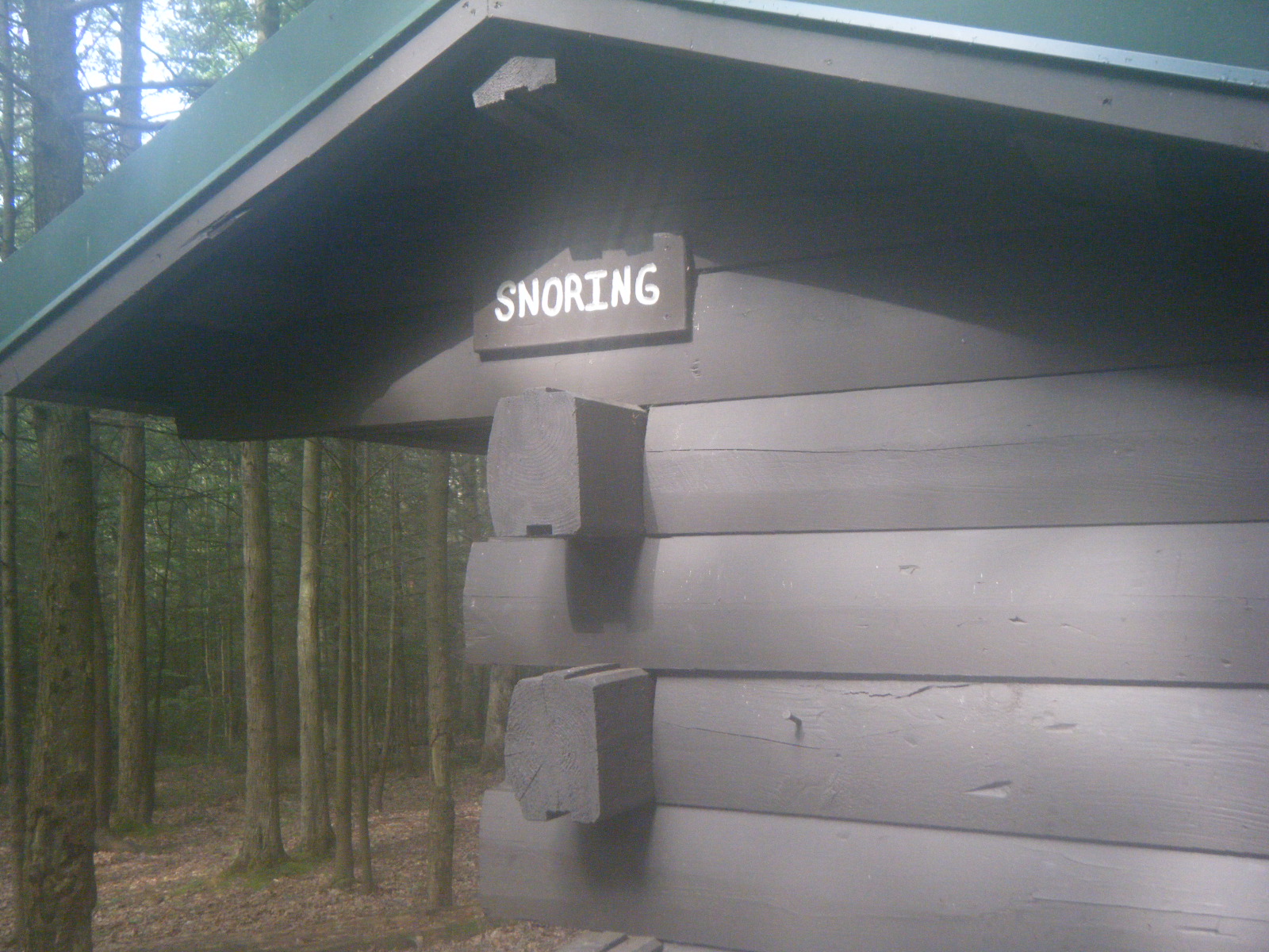
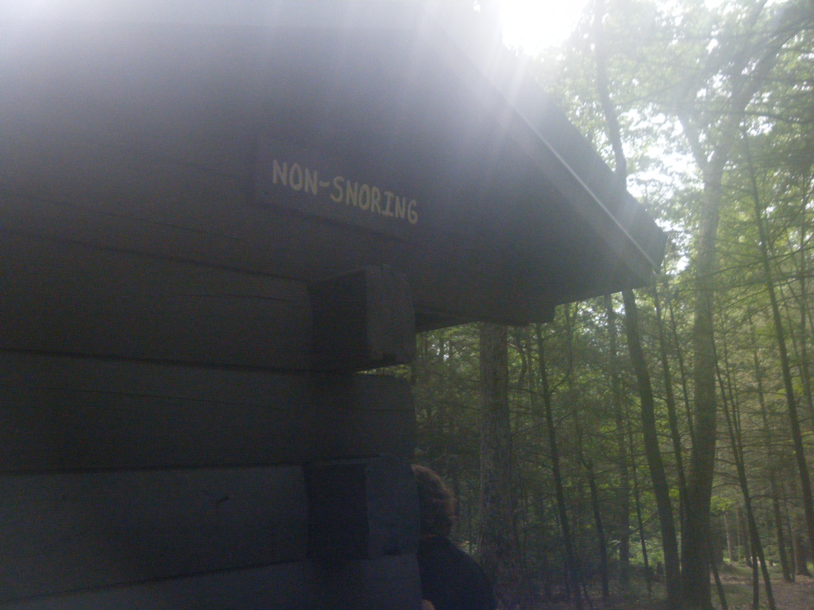
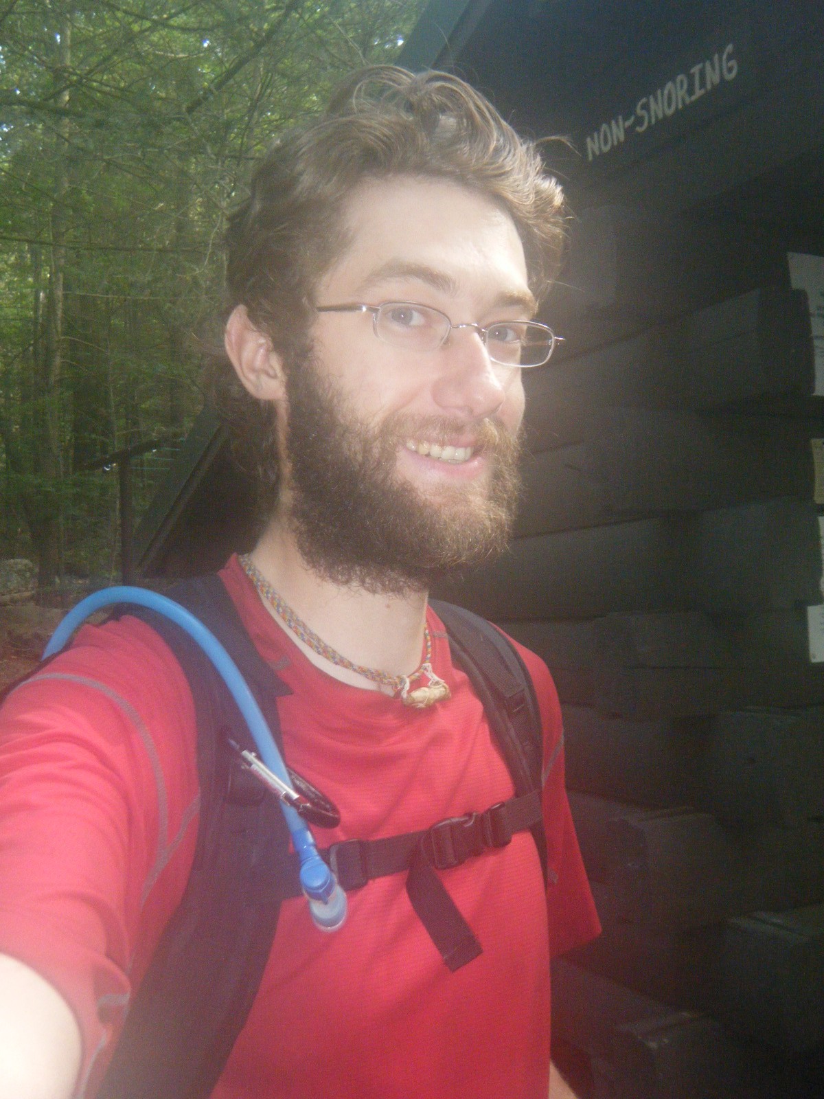
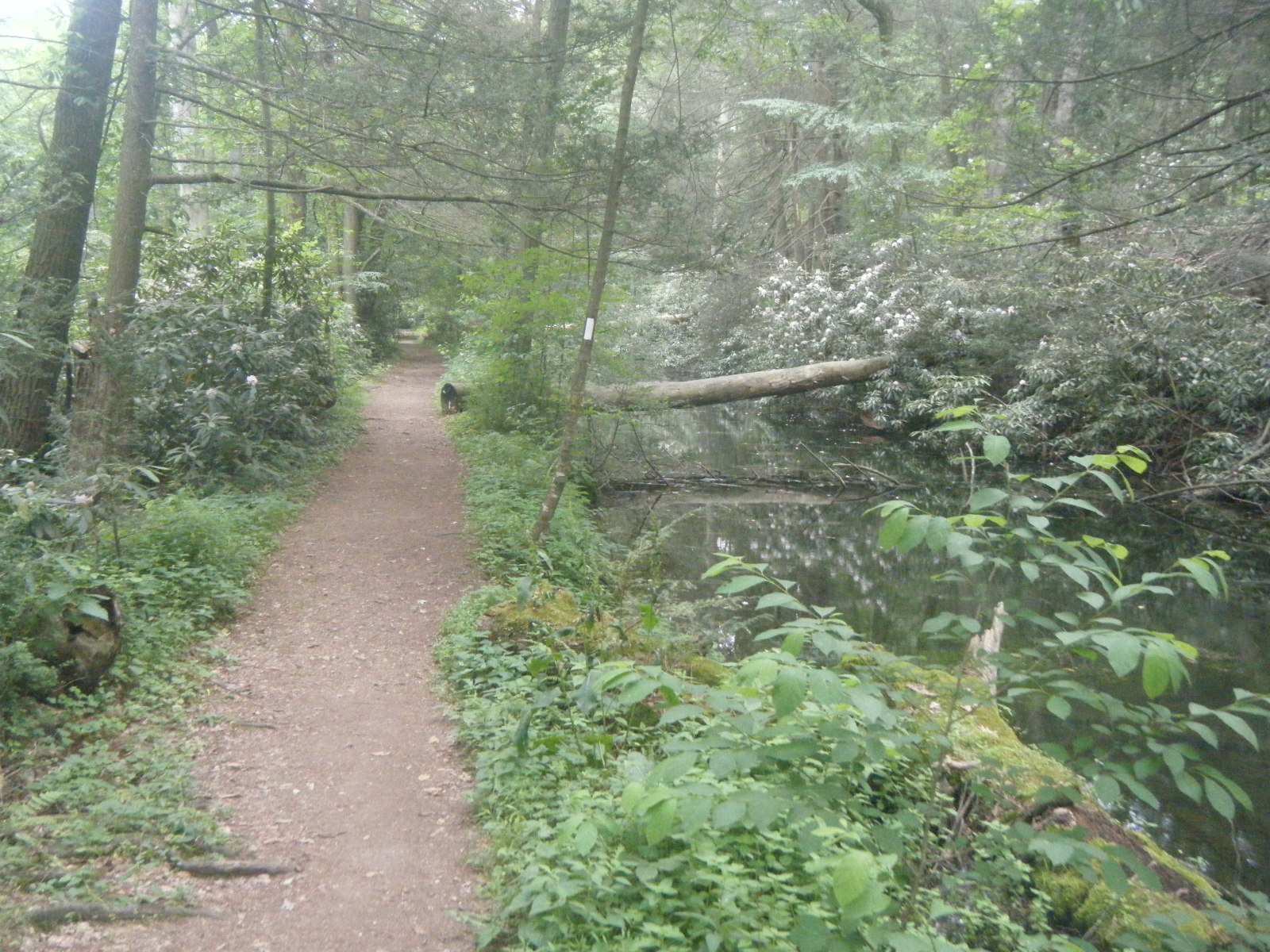
I slept late-ish on Monday (June 27). Most of the non-hikers had cleared out, and the few still hanging around informed me that at some point during the night, the same guy who had been placed in a tent had at some point found his way out of the tent and wandered a short distance into the woods. In the morning they found the man shirtless, unconscious and shivering in the woods. I’m sure he’ll remember his first camping experience fondly. After eating breakfast I hiked a short 4.9 miles to Raven Rock Shelter, which is gorgeous. It’s all brand new finished wood, and it’s got great tenting, campfire, and picnic areas. I signed the register and kept pushing to Pen Mar Park, the park on the MD/PA border. The park was fun because everyone’s wildly impressed that I’ve hiked from Georgia. In Pennsylvania I’m a celebrity. Maryland became a pretty intense boulder field right before it became Pennsylvania, but once I crossed into Pennsylvania the trail terrain turned dreamy. I snapped a picture by the Mason-Dixon Line sign and sailed through miles of smooth, level terrain. I walked right past Antietam Shelter without noticing I’d done so, and stopped for the day at Tumbling Run Shelters. I spent the night again with Mladin, Phlegm, Gravity, Pixel, and Shazam. They informed me that Antietam Shelter was in a beautiful location, on an island in a stream, and that there was a footbridge to get there. Gravity ripped a tree out of the ground with his bare hands to burn it as firewood (it was dead already). I ate an MRE I found on the trail that day, which gave me just enough food to stretch my supplies all the way to Carlisle. The shelters were labeled “Snoring” and non, so Gravity and Phlegm shared one while Mladin and I took the quiet room. Pixel and Shazam tented.
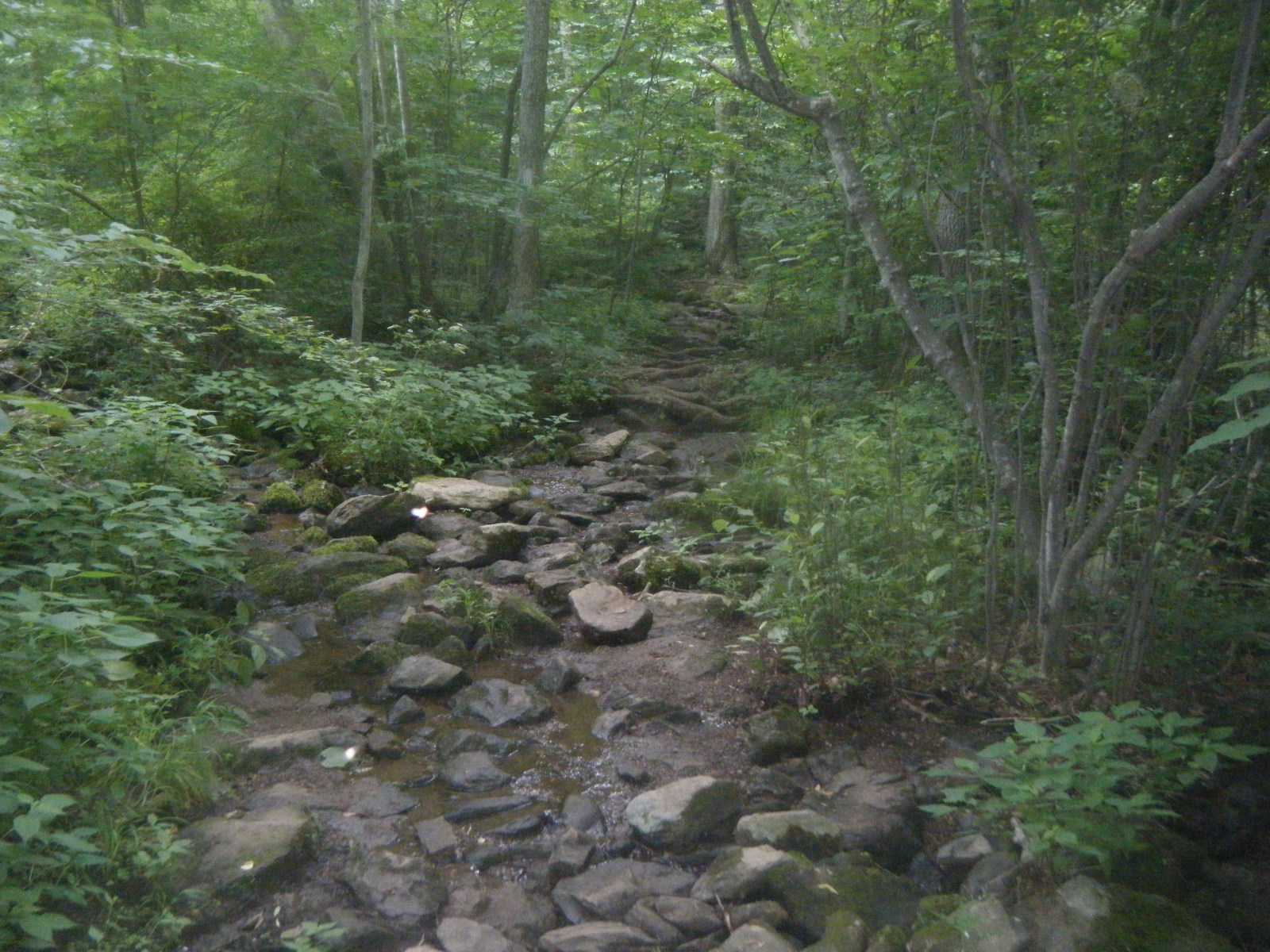
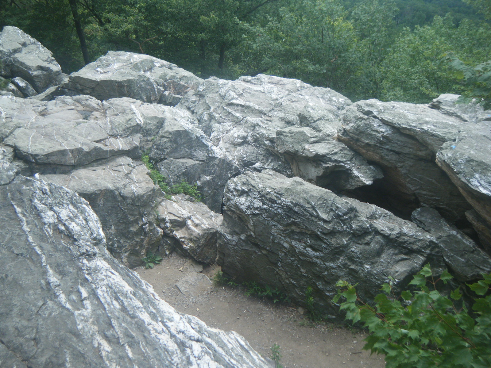
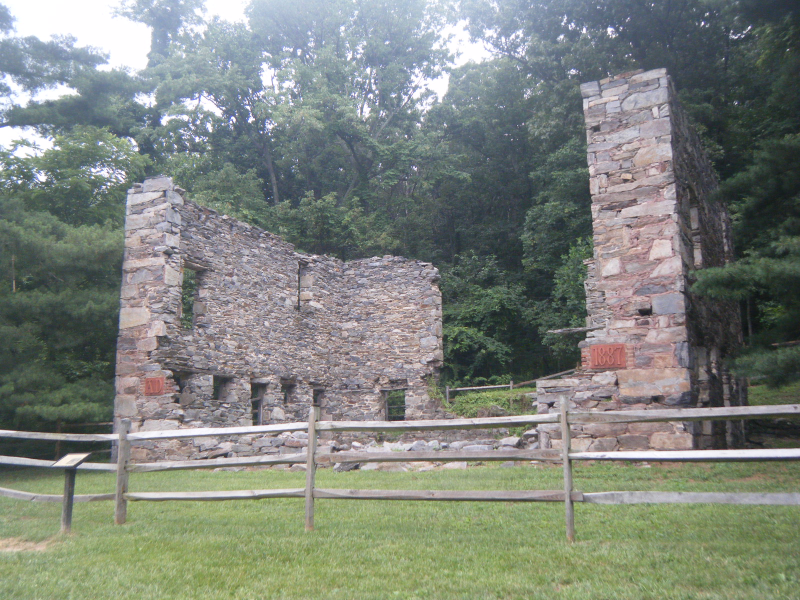
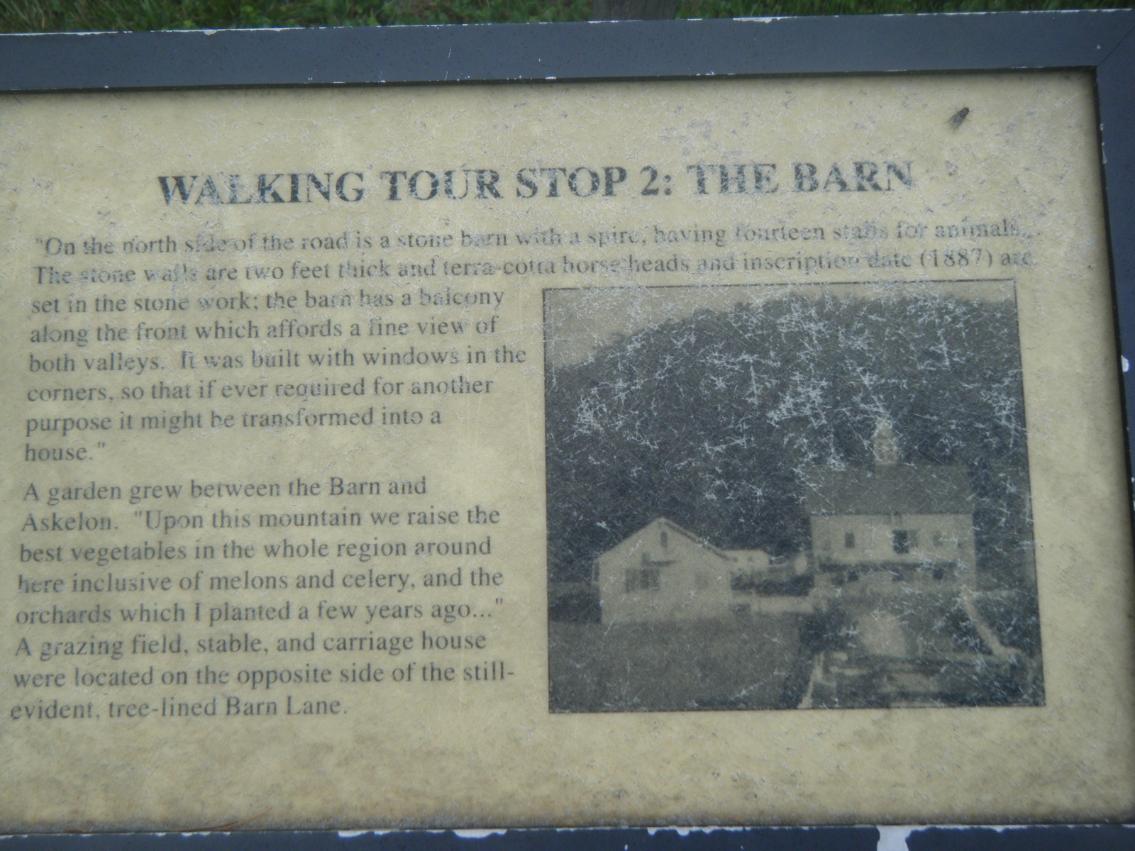
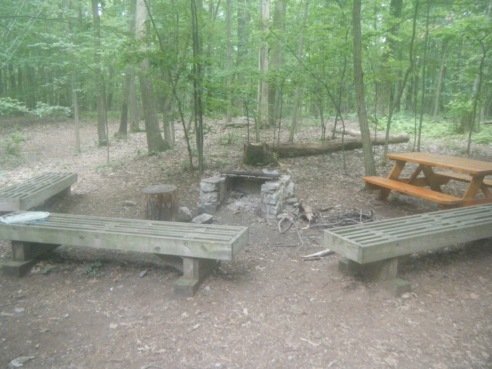
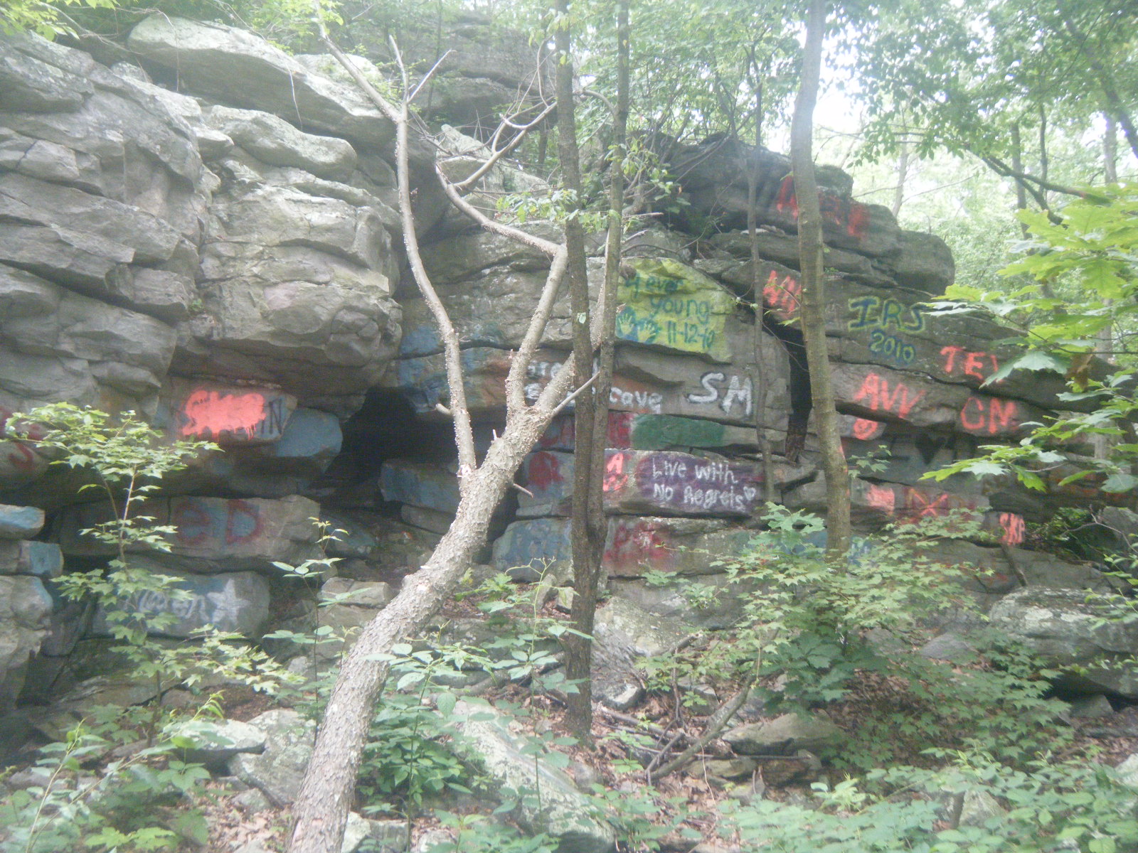
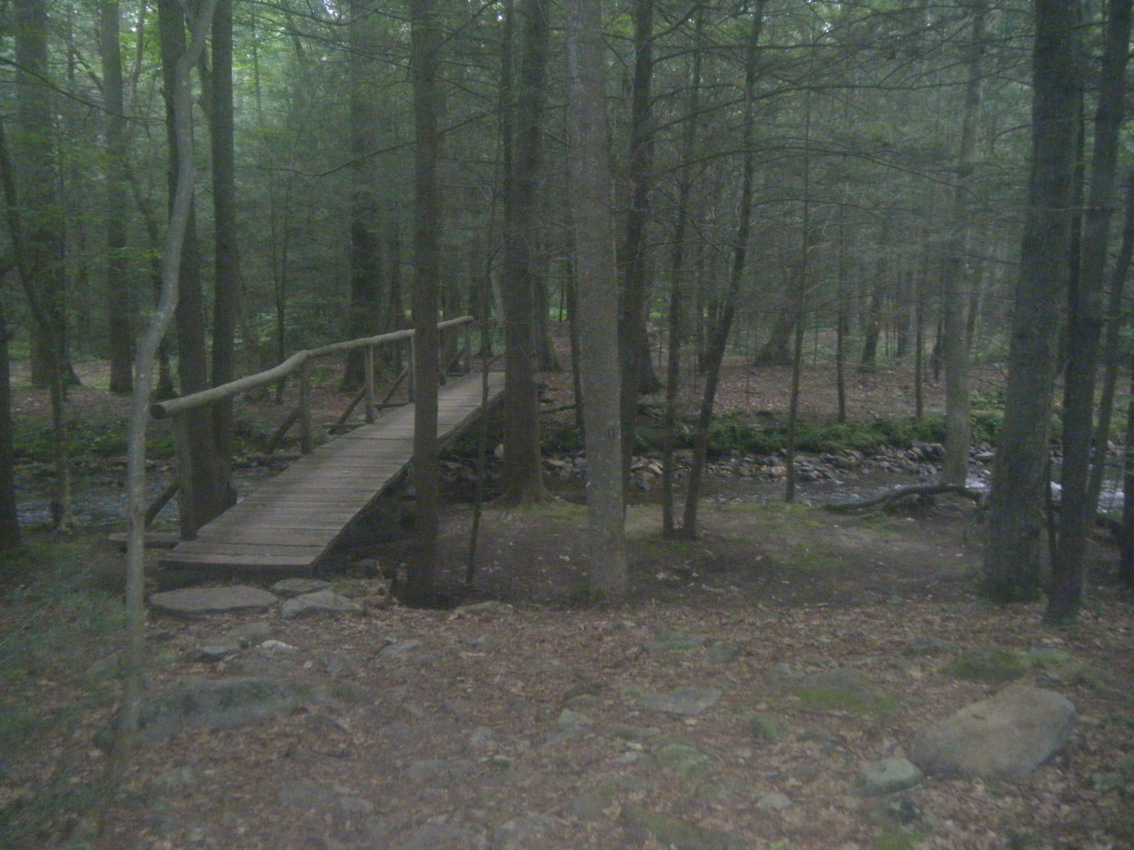
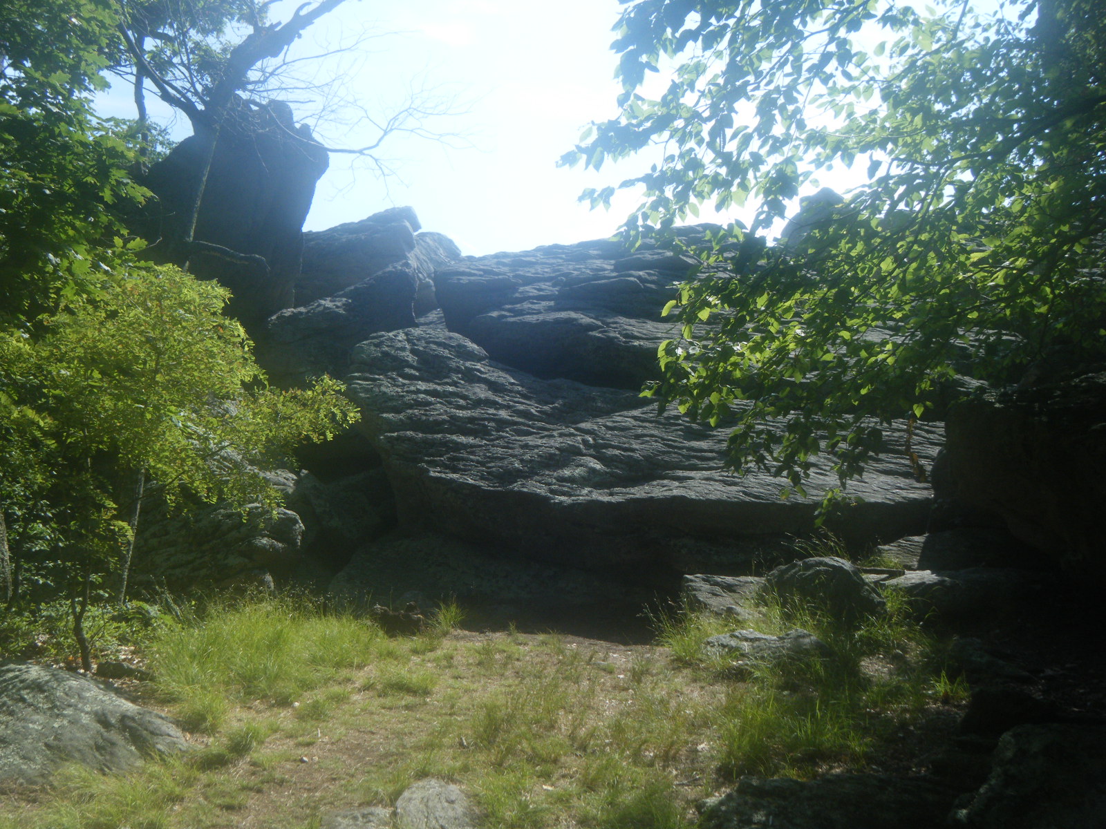
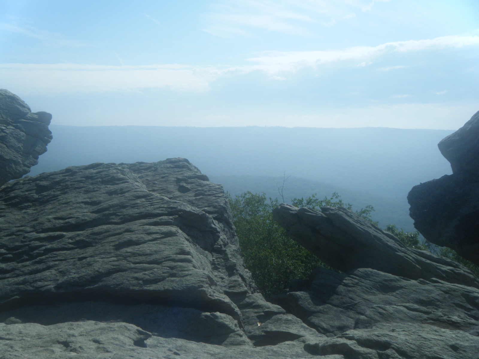
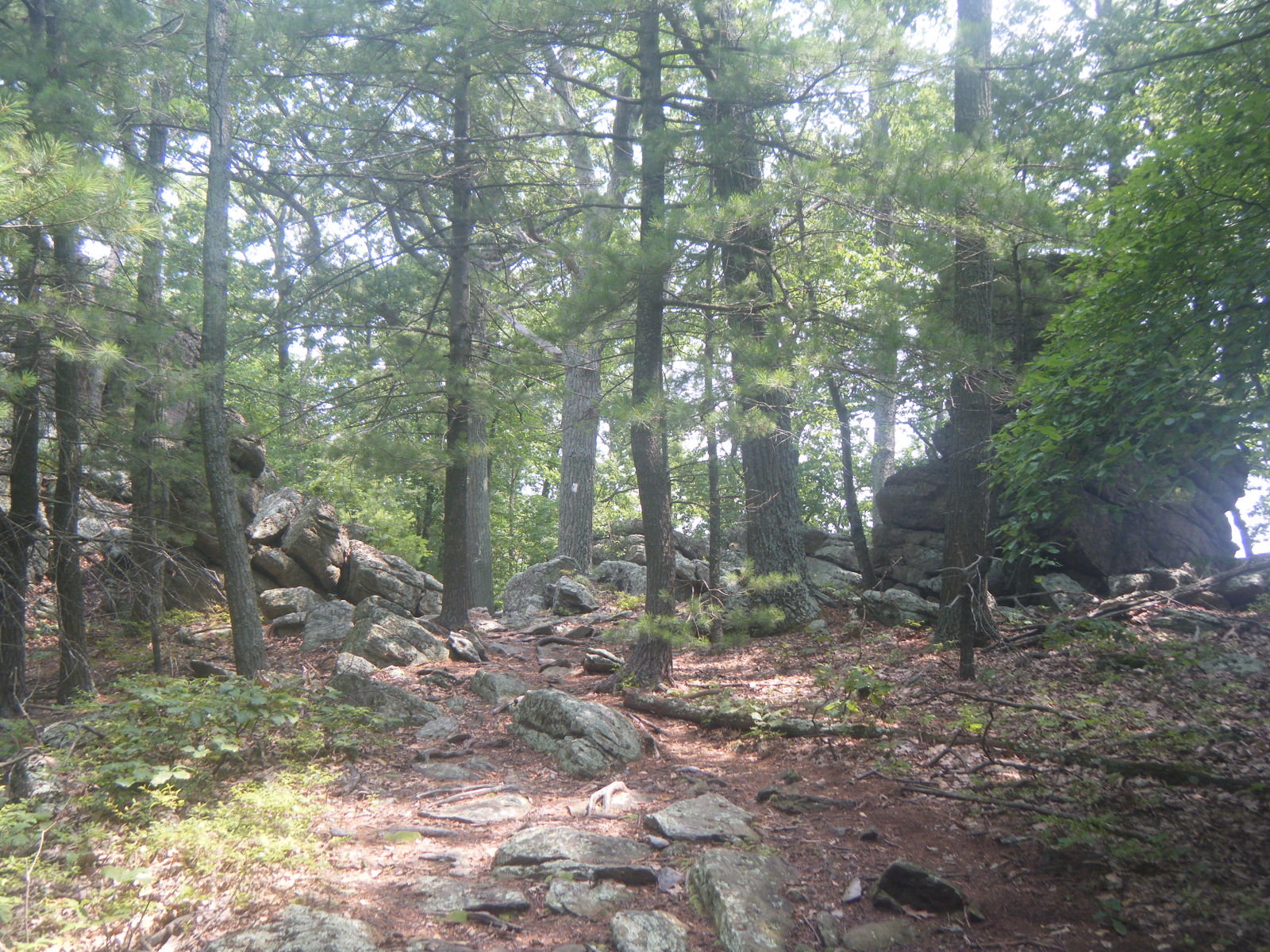
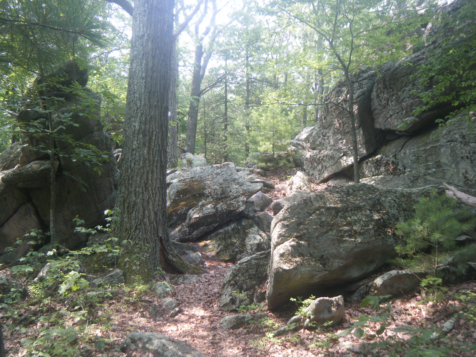
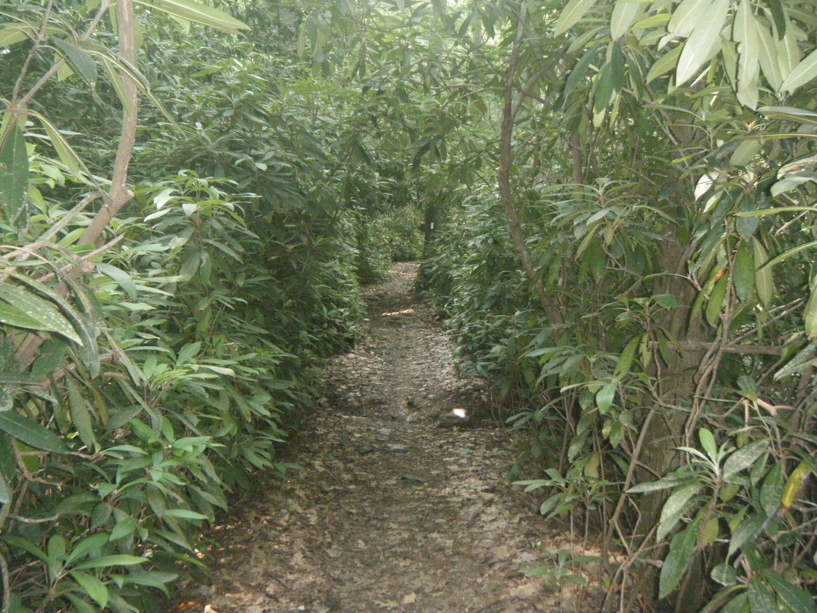
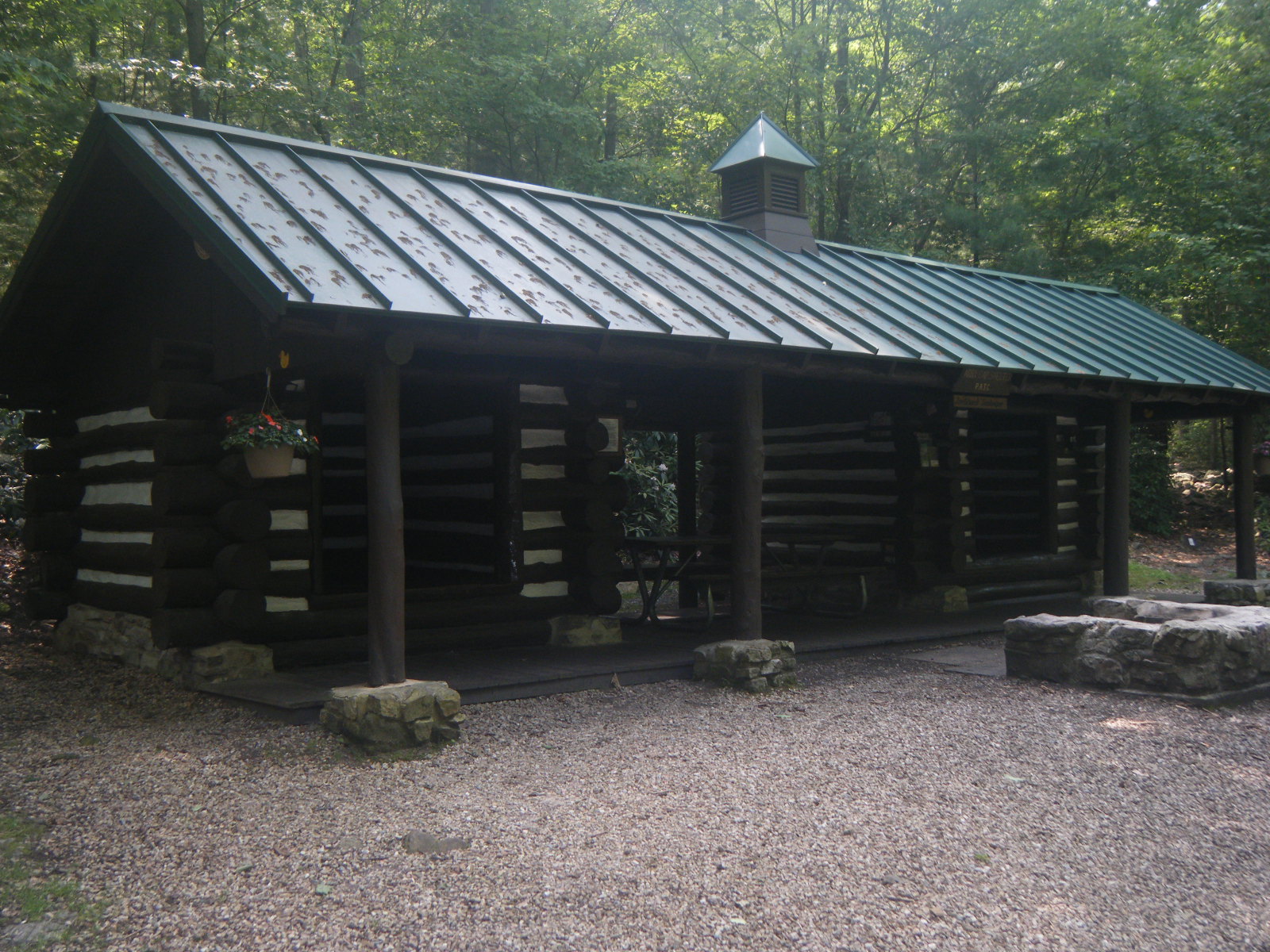
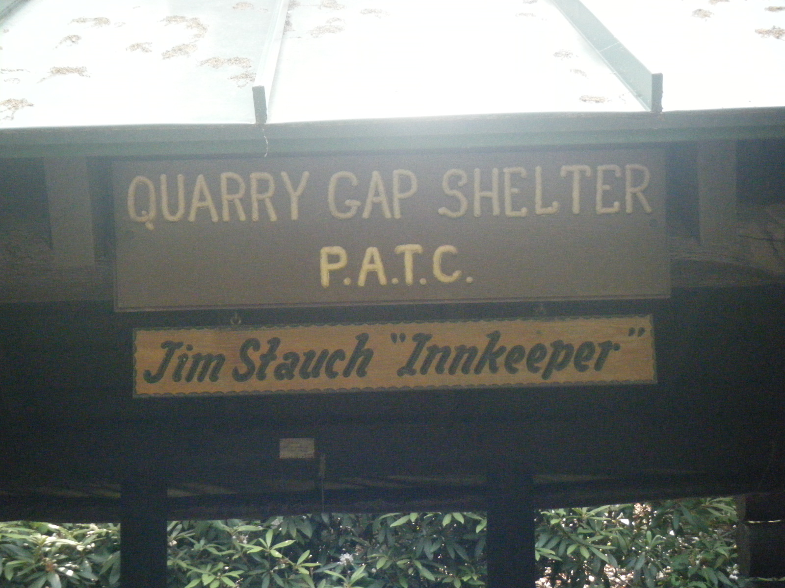
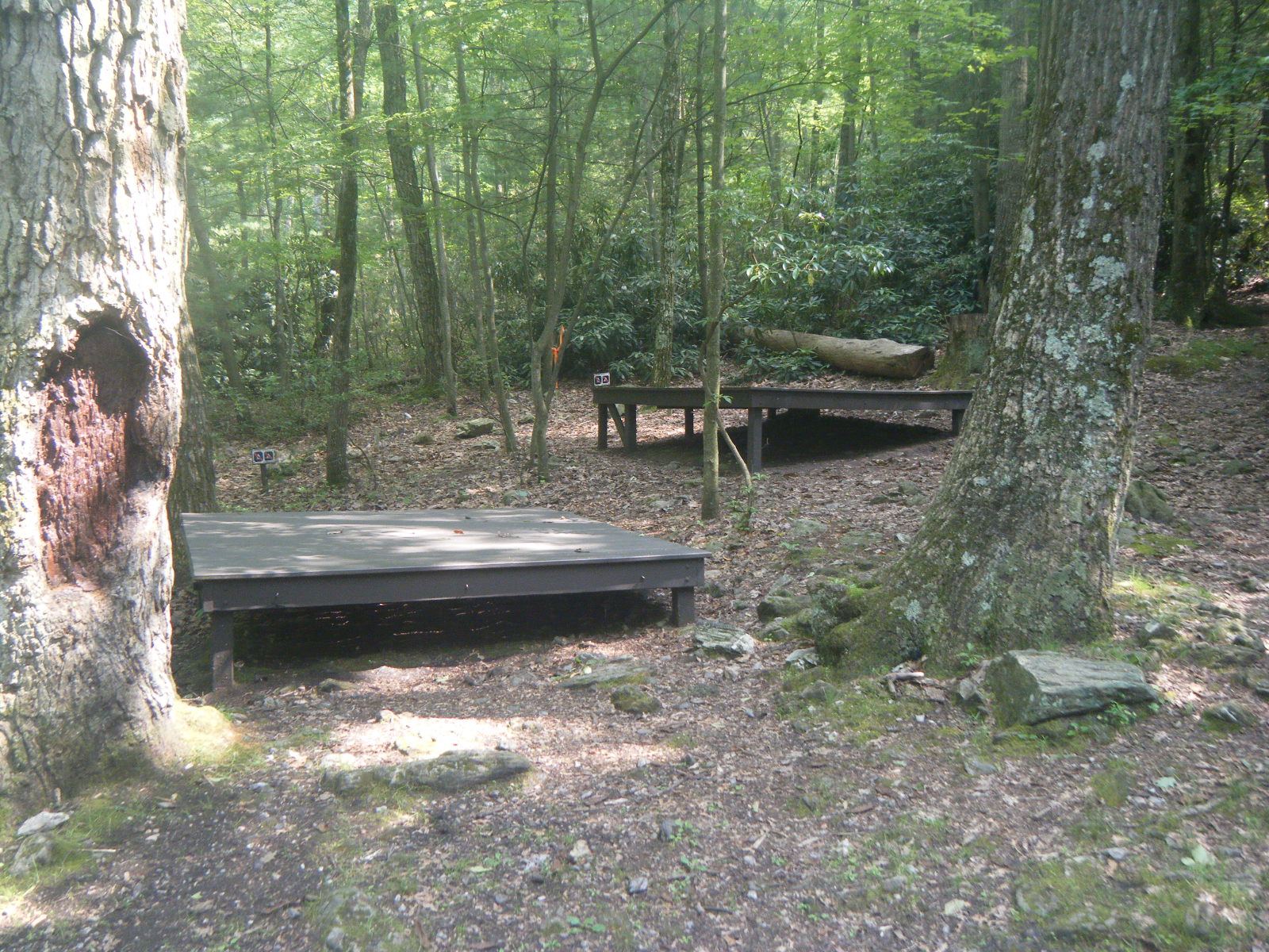
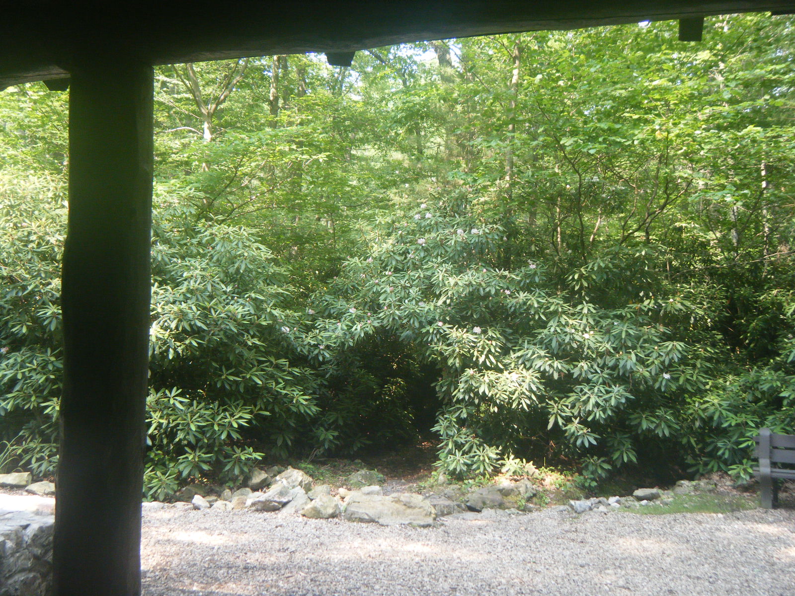
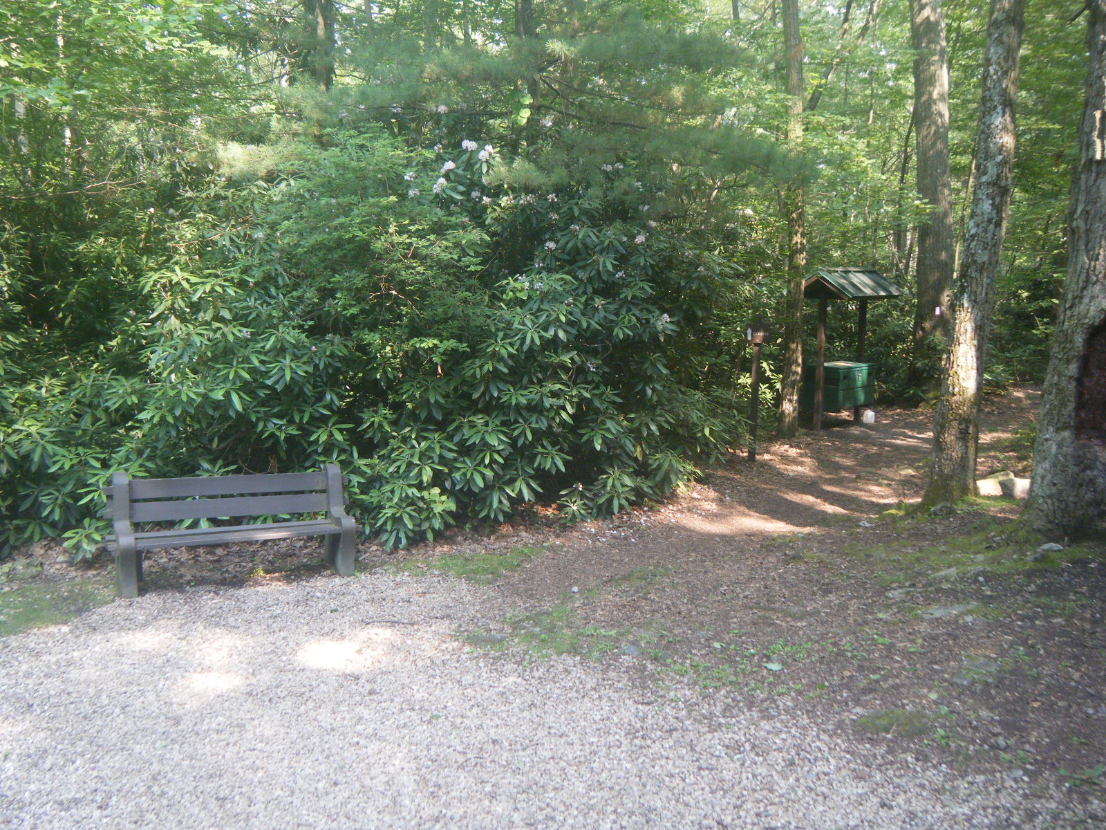
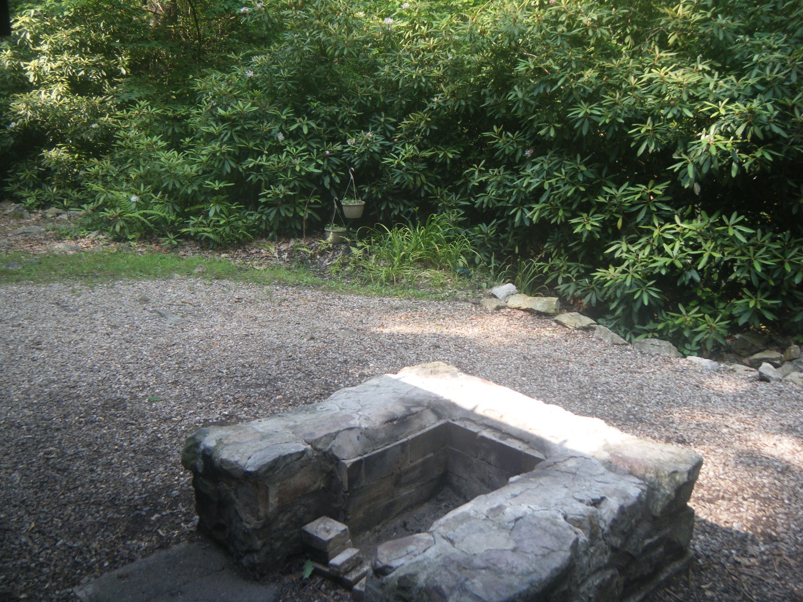
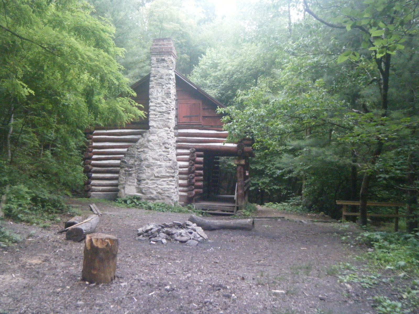
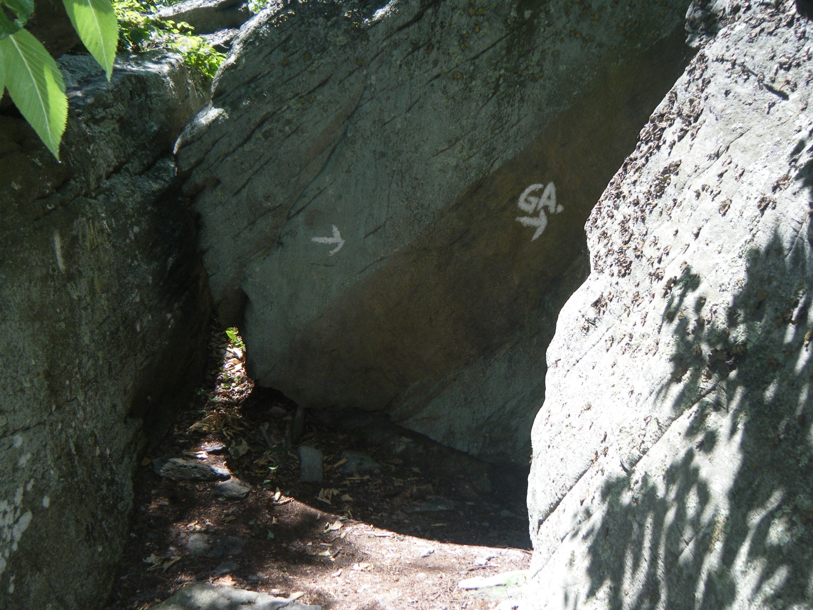
Tuesday (June 28) I climbed a small mountain then took a short sidetrail to scope out Chimney Rocks, then walked 9 rocky miles to US Route 30 and walked toward Fayetteville 0.4 miles to an Italian restaurant called Taormina’s. I asked the child waiter for a milk, and he informed me that they might be out of milk, but that he would check and let me know. I didn’t see the boy for ten minutes, but at that time he did finally return with a glass of milk and took my order (medium buffalo chicken pizza). I finished my milk rather quickly, then sat at the booth for literally 60 minutes and was never offered a water or a refill, nor was I given any explanation as to why I hadn’t already eaten. During this time Mladen, Gravity, Phlegm, Pixel, and Shazam caught up and joined me in the restaurant. I warned them as to the service and went to the front to inquire as to when my pizza might be ready. I was told “It’s in the oven and should be out any time.” I did receive my pizza shortly after that. I tipped the waiter poorly, but here’s an exceptional tip for my readers: Avoid Taormina’s. After lunch I hustled 3 miles to Quarry Gap Shelters for water, and was amazed at how nicely it was maintained. The shelter was surrounded by blooming rhododendrons, it had a chess board and reading materials provided, the spring was very close and very clean, there were potted plants hanging from the ceiling, the privy contained a book about outhouses, etc. I lingered a bit to enjoy the shelter, then pushed on another 7.4 to Birch Run Shelter which was nice even though it couldn’t compare to Quarry Gap Shelters. I was the only person at the shelter so I took the opportunity to shed all my clothes and finally dry out for once. It hadn’t been raining, but with the humidity always above 90% and sweating as much as you do when hiking, you’re perpetually damp.
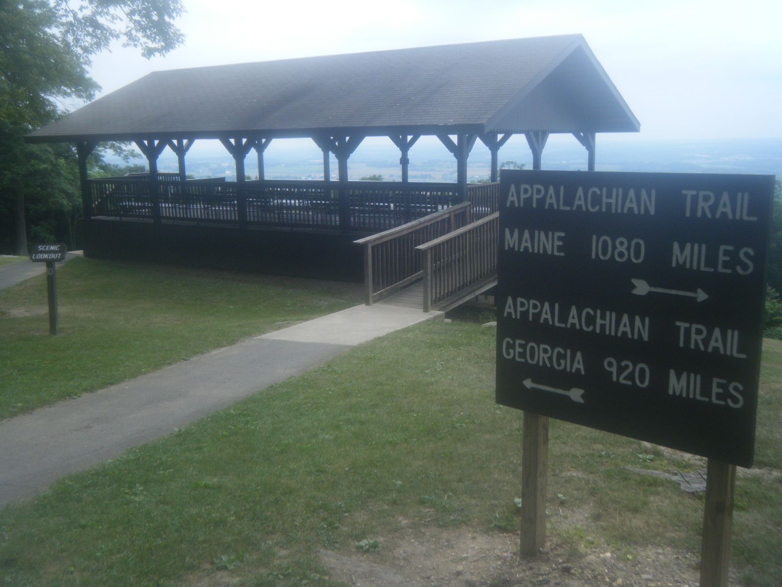
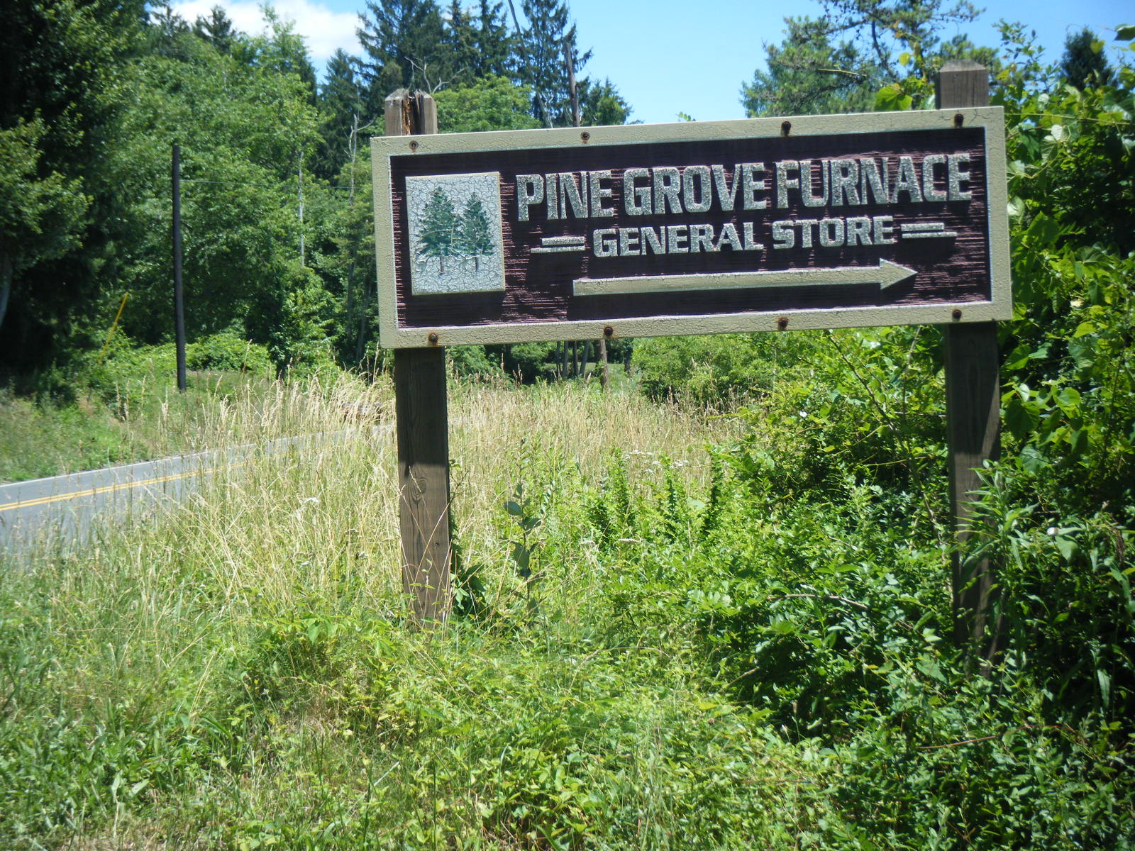
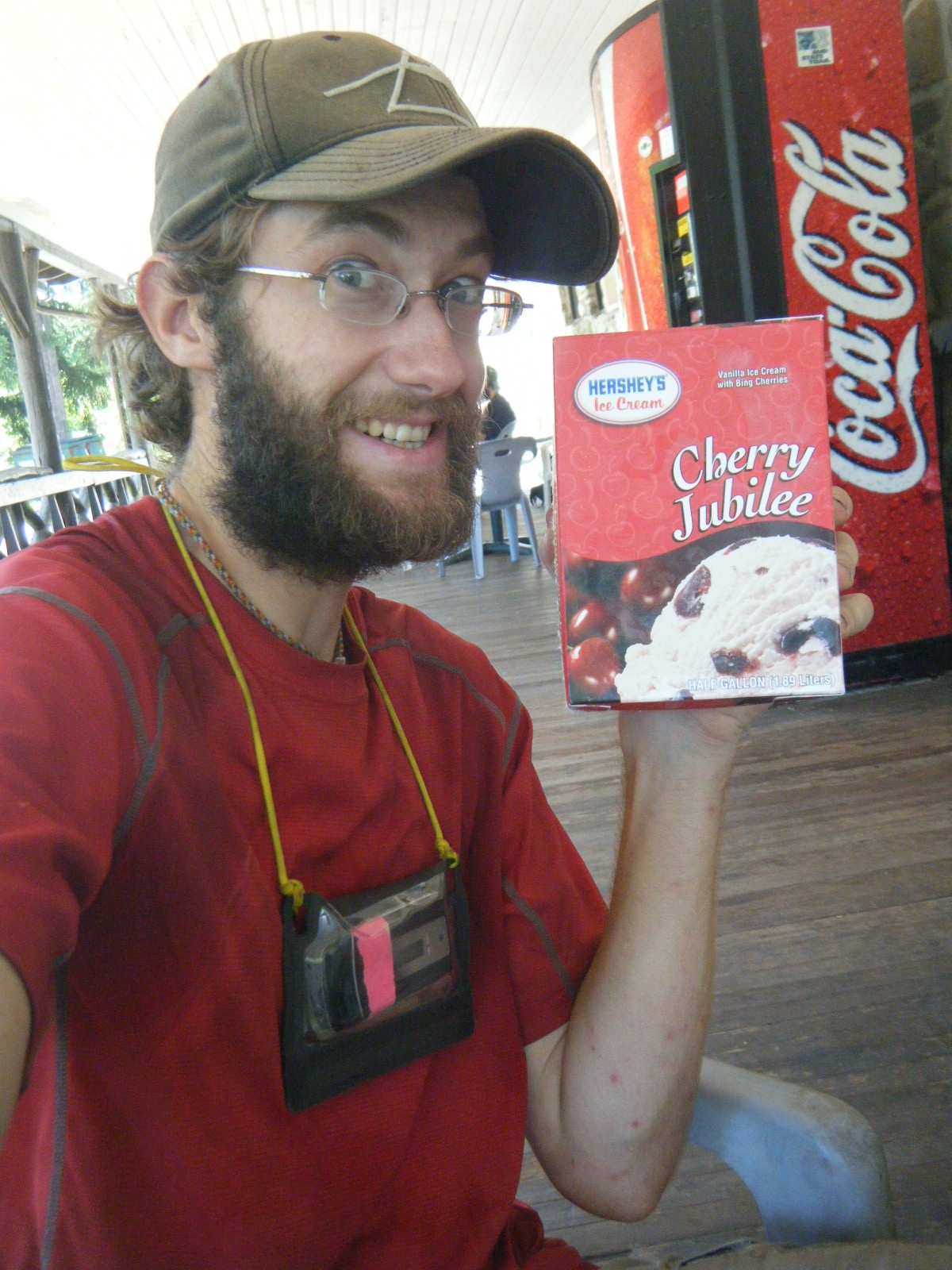
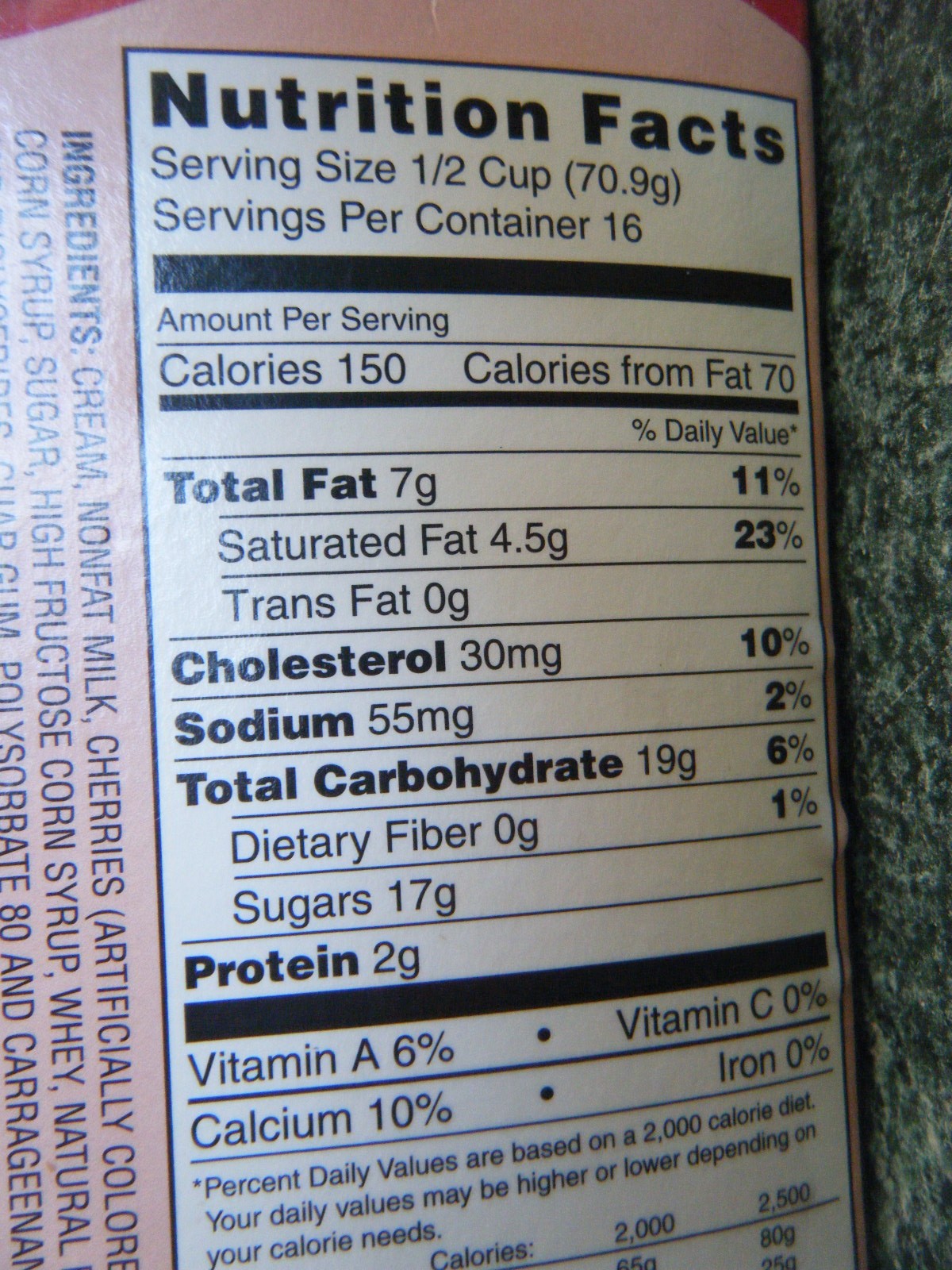
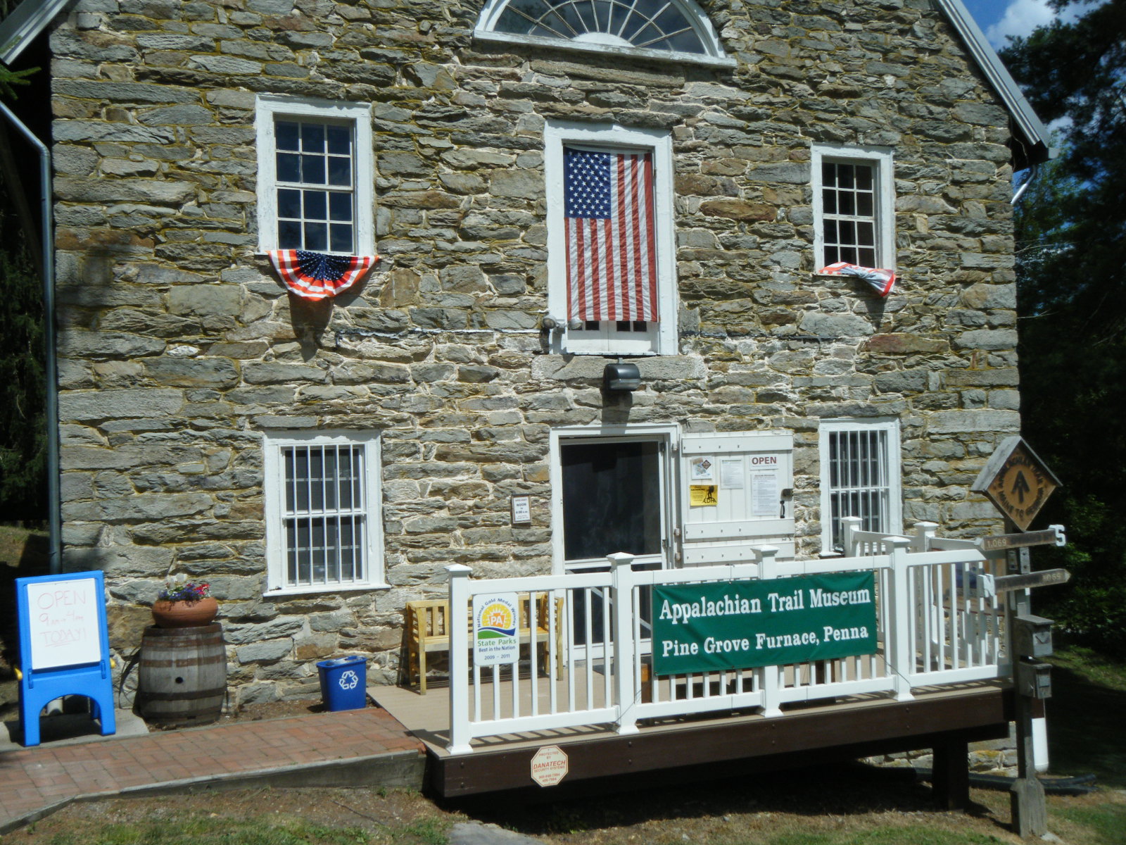
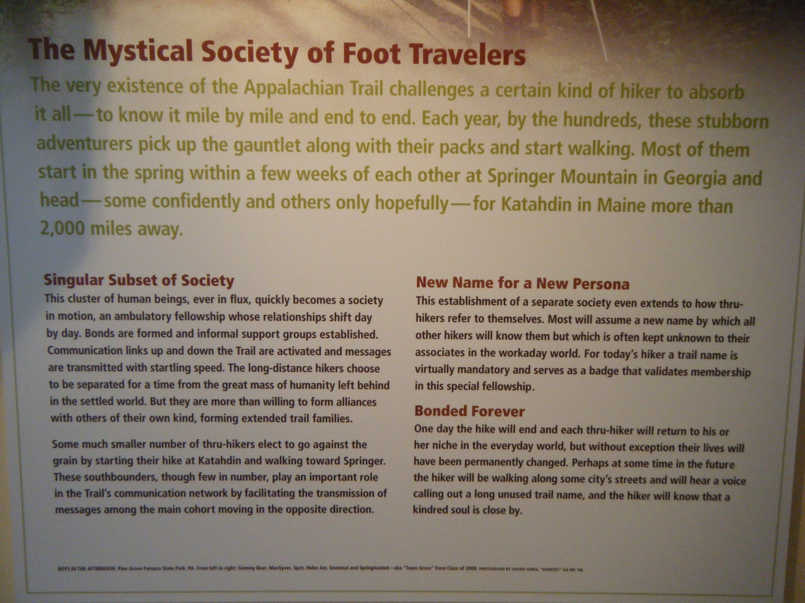
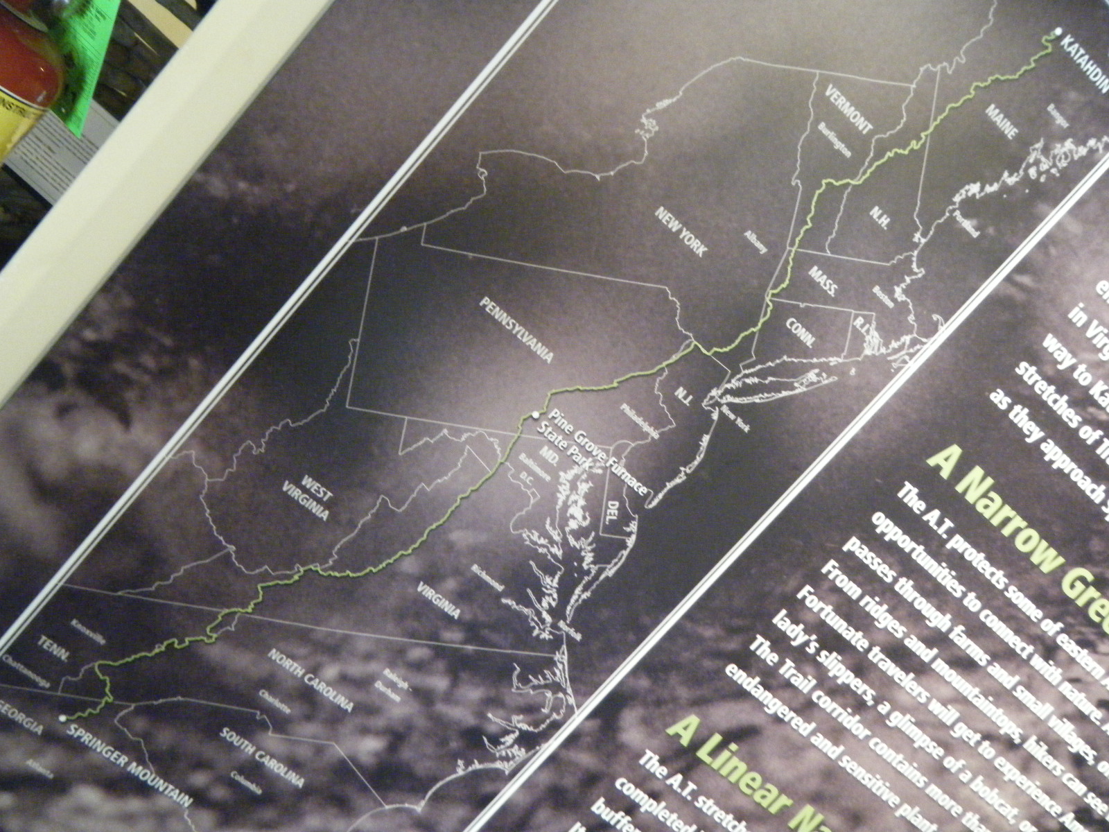
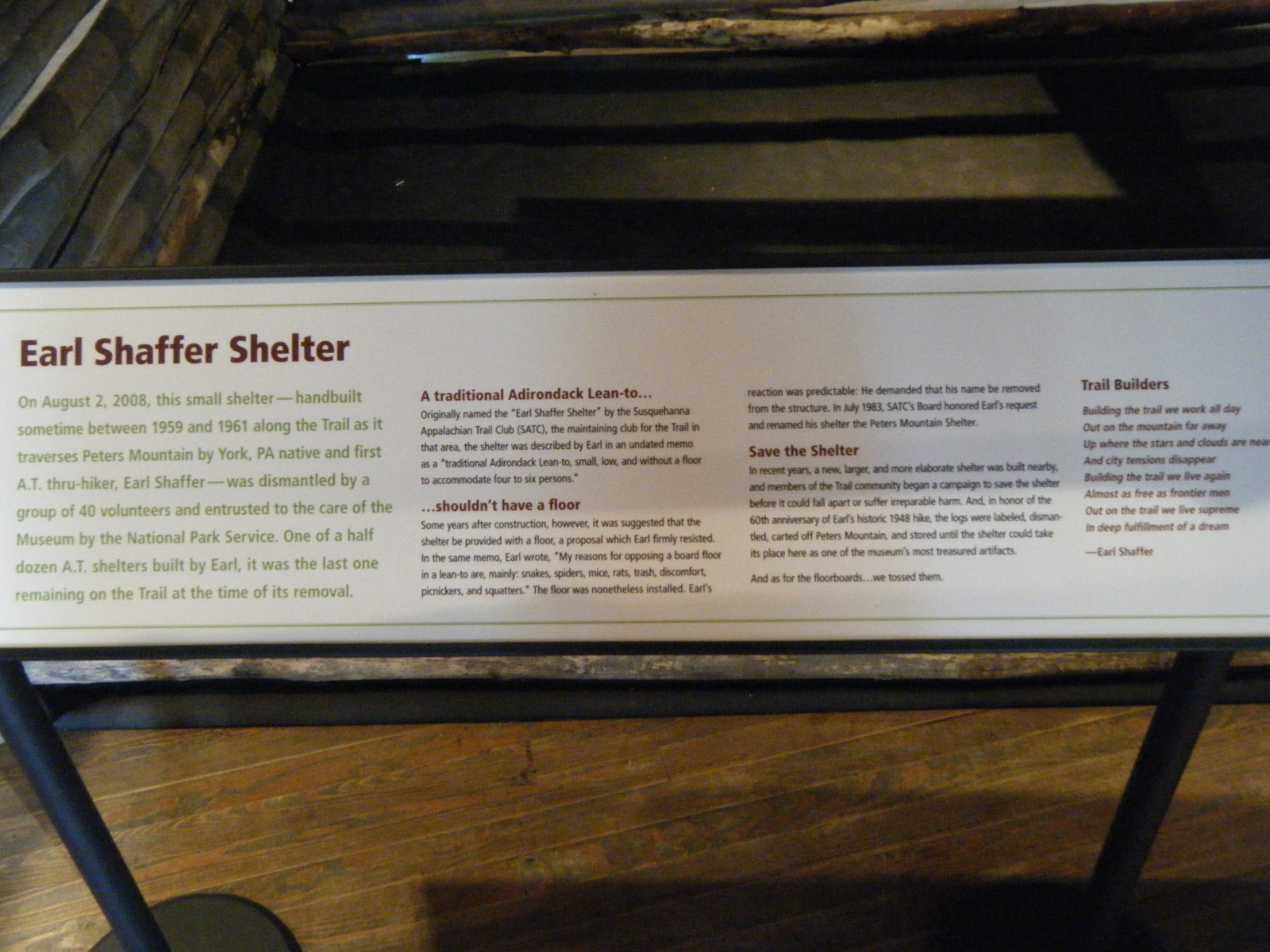
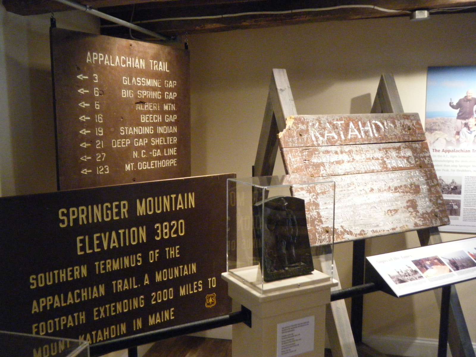
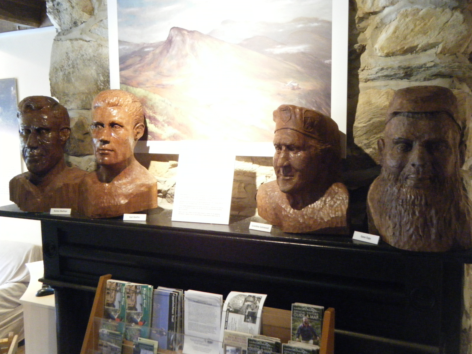
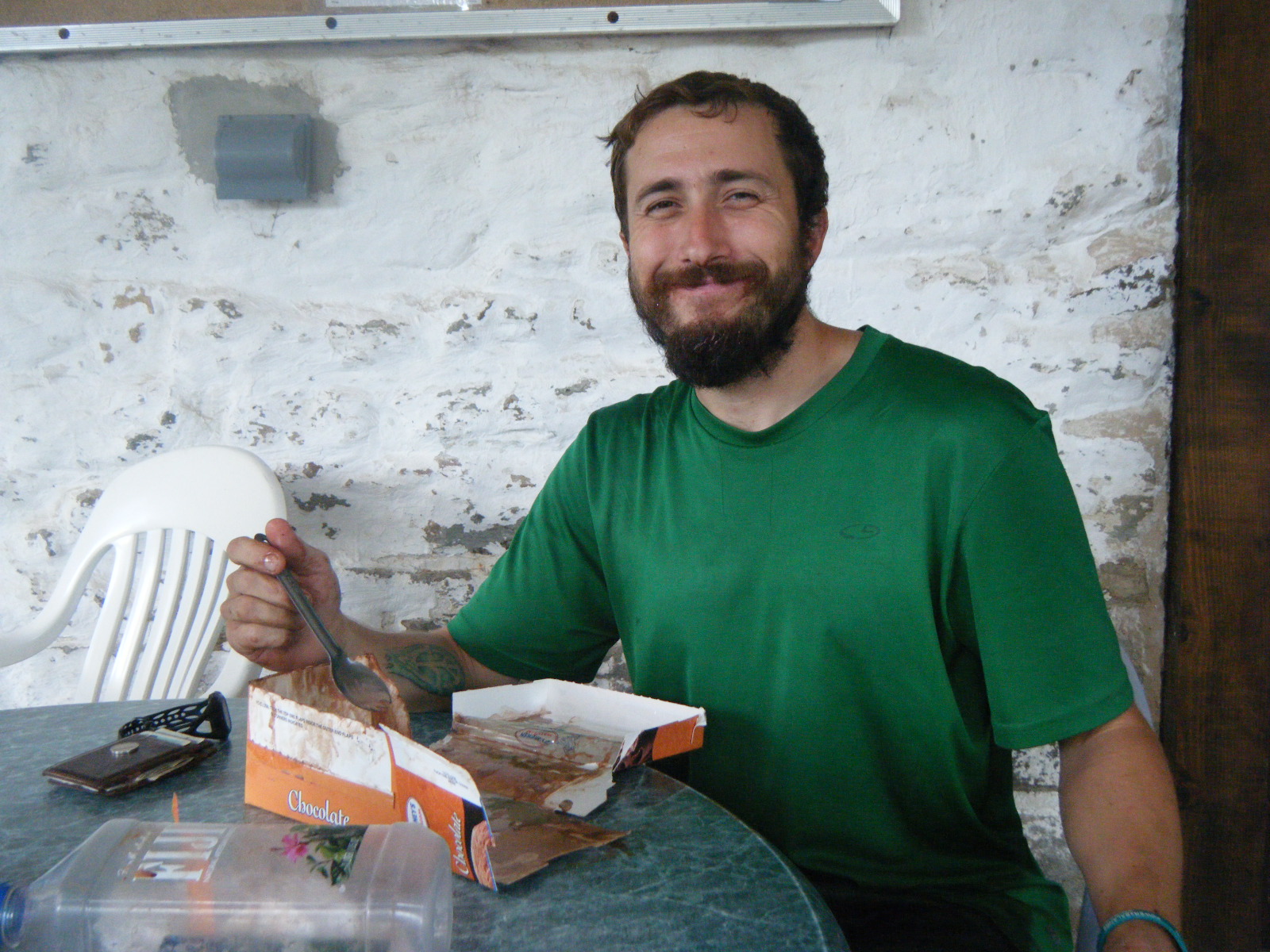
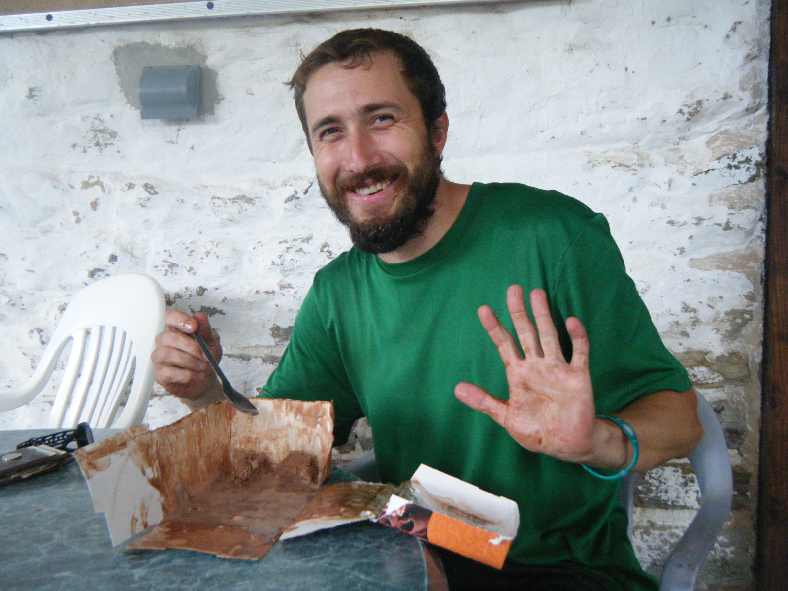
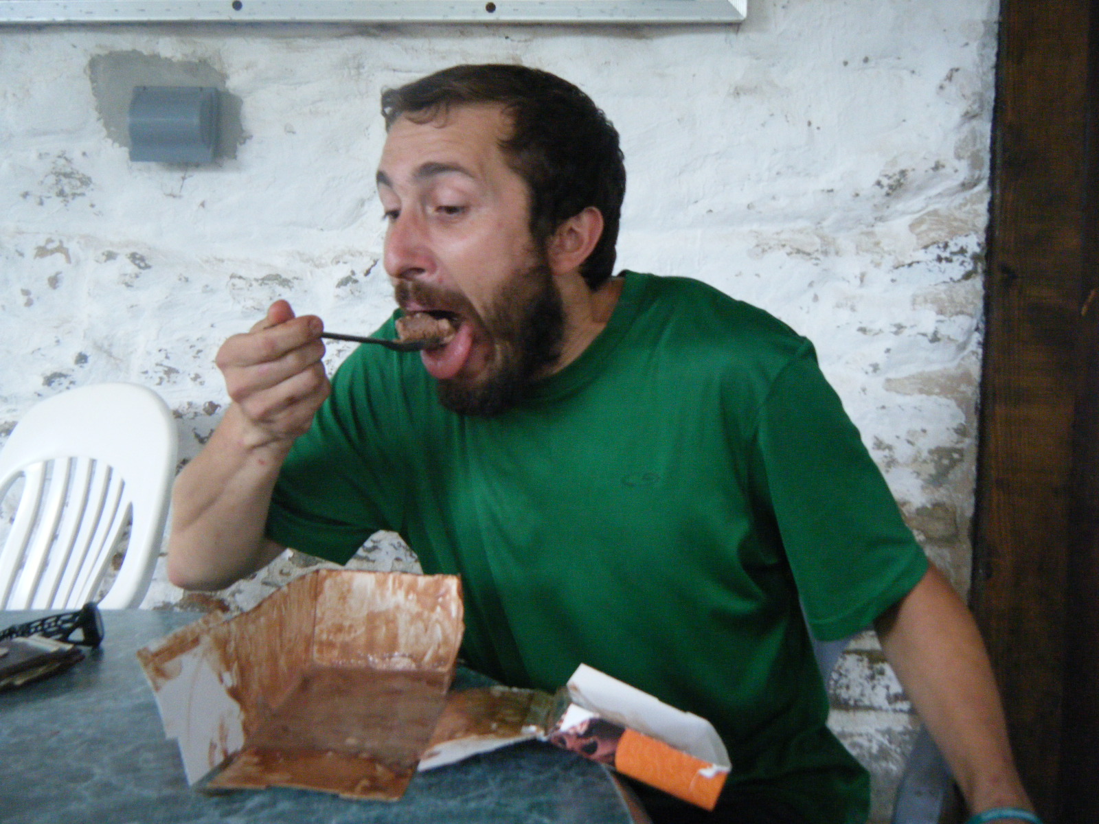
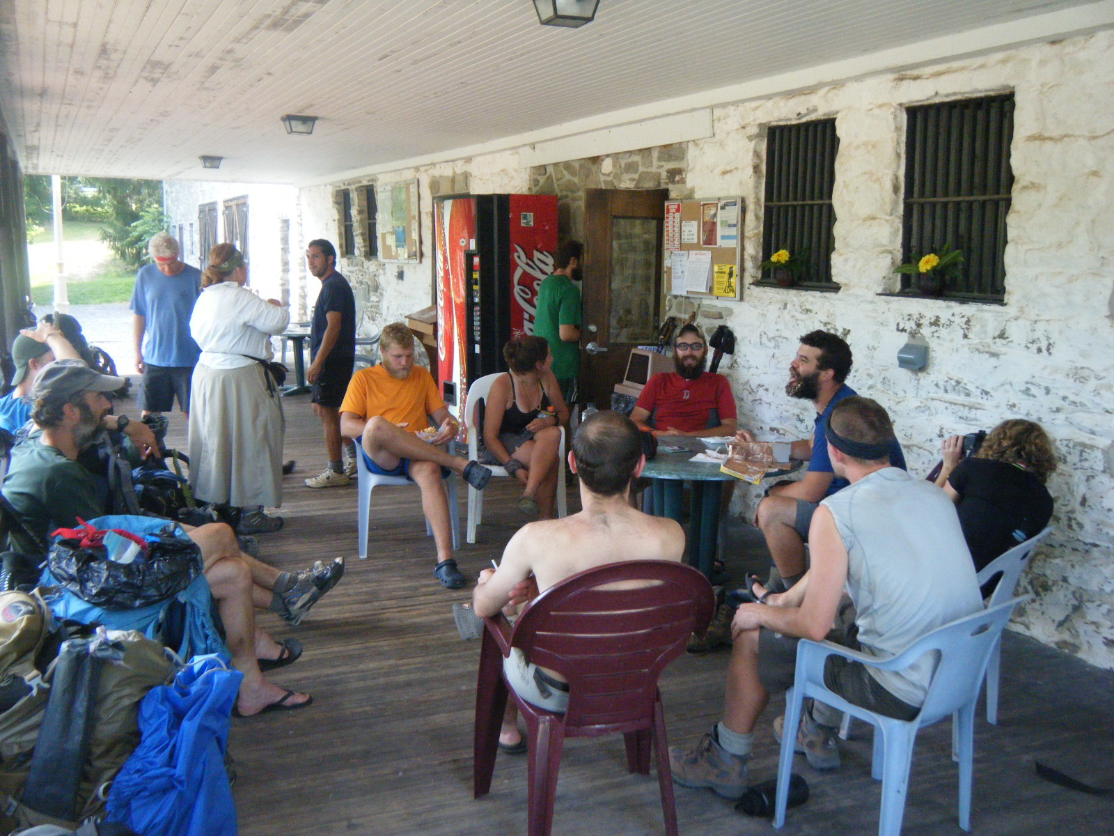
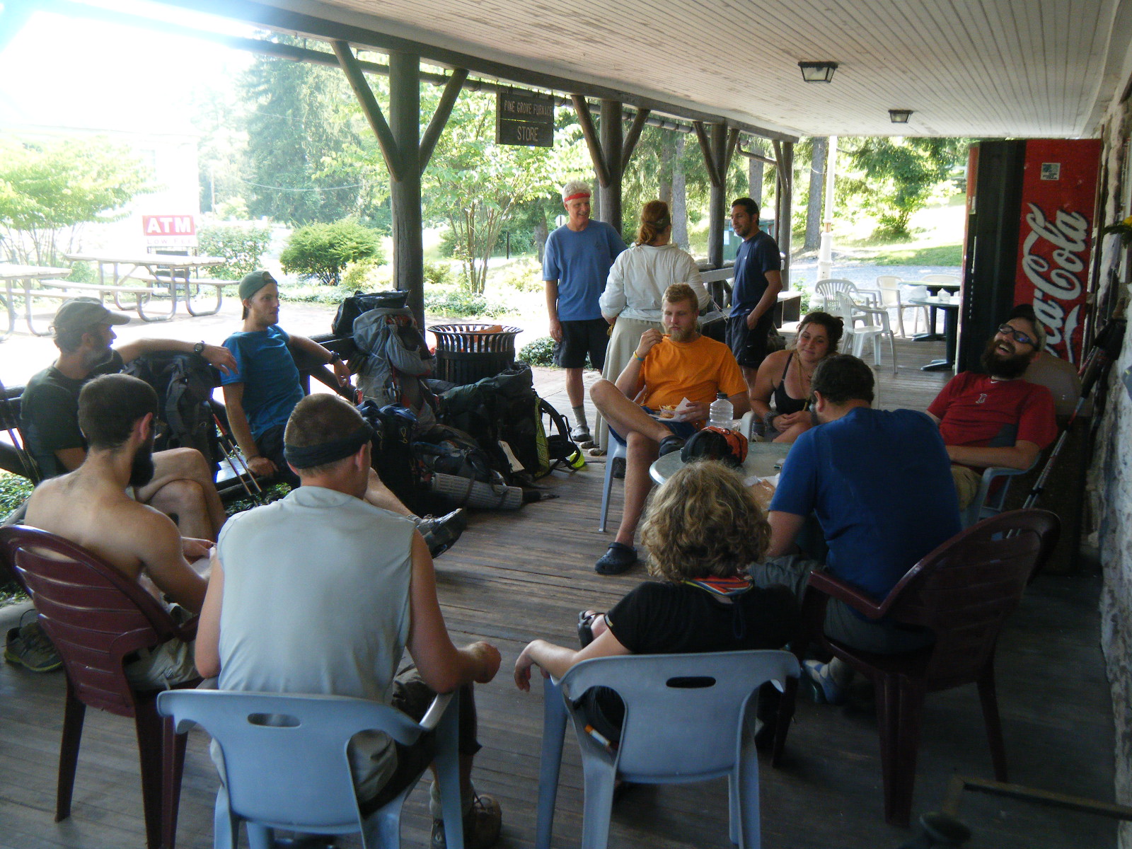
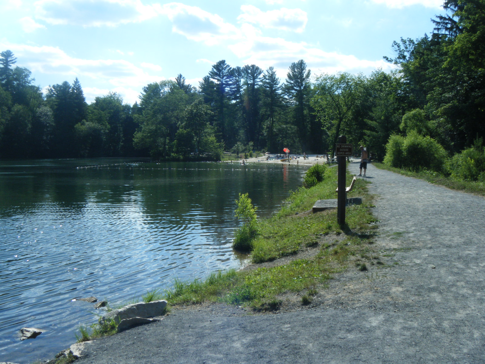
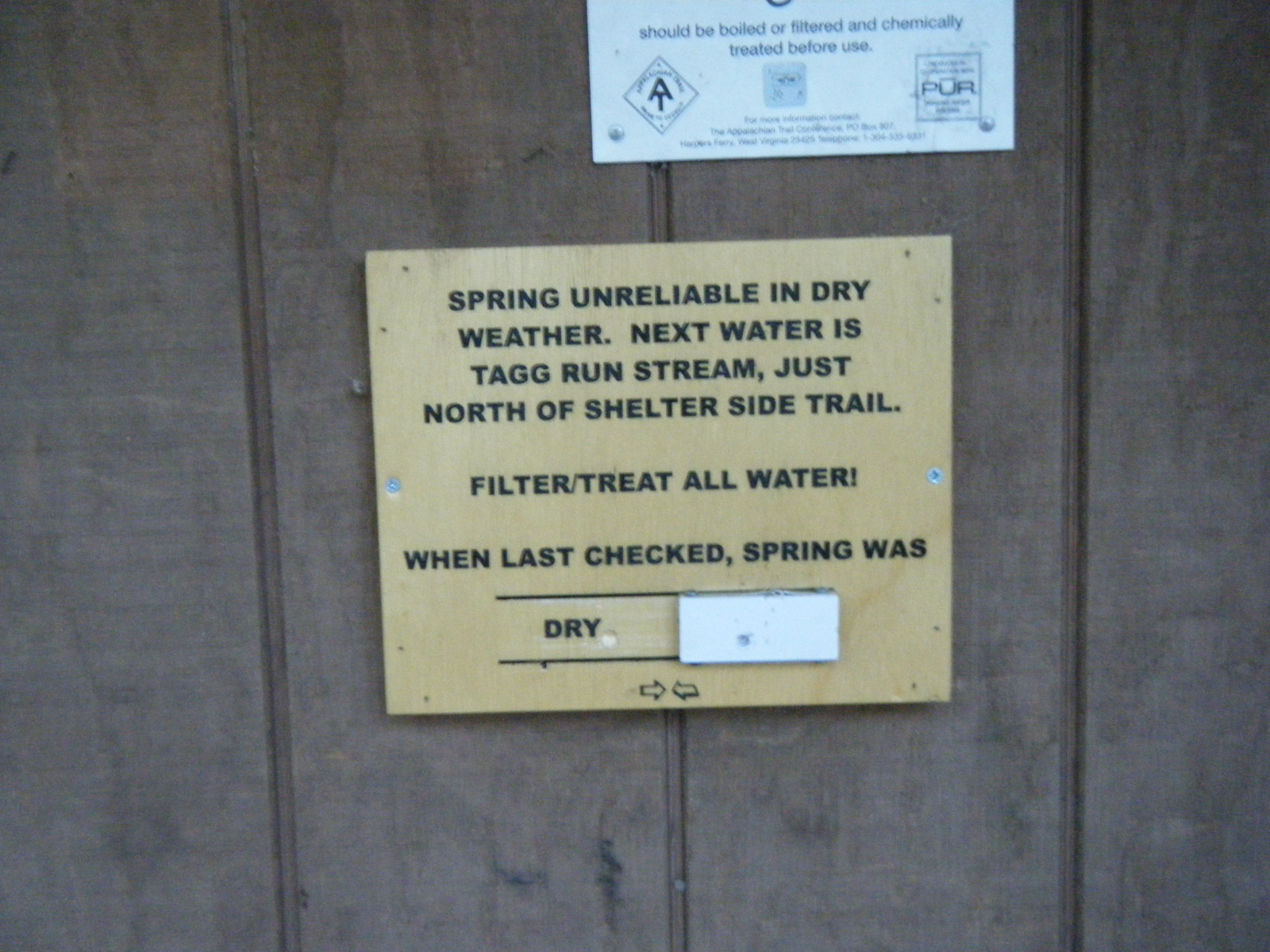
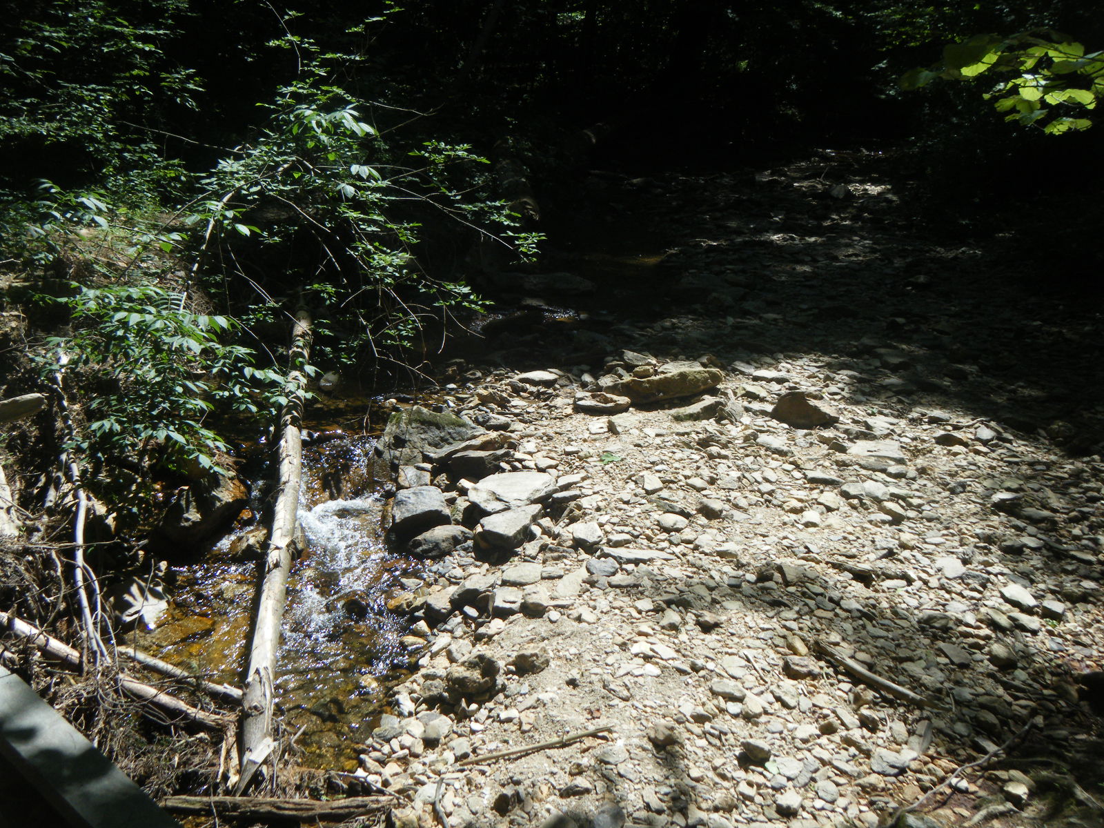
Wednesday (June 29) I awoke to a cool, breezy, sunny morning. It was a bit chilly for sitting around, but perfect hiking weather. After 7 miles I passed the 2011 AT midpoint and was surprised to see an official-looking sign there. Since the midpoint changes every year I was expecting to see a pile of rocks arranged to say “1 / 2” or something. I took pictures and hiked another 3 miles to Pine Grove Furnace State Park and stopped at the general store for some ice cream – a half gallon, in fact. It’s traditional for thru-hikers to buy a half-gallon of ice cream here and eat it all in one sitting. If you complete the challenge, they give you a wooden spoon labeled “half-gallon challenge”. I chose cherry jubilee as the flavour and finished it in 1 hour 17 minutes. I certainly didn’t set any records, but I still got my spoon. While allowing the ice cream to digest, a few hikers caught up to me: Phlegm, Gravity, Pixel, Shazam, Hollywood, and Pickles. There were already a few hikers there when I arrived (including Trash Can, who finished his half-gallon in 17 minutes and proceeded to grab someone else’s half-gallon leftovers from the trash and eat theirs as well), so we managed to foul the air in that area pretty thoroughly. The general store was right next to the AT museum, so I took a few minutes to wander over and check that out as well. It was cool going into the museum, because thru-hikers are so much a part of the AT that walking into the AT museum was like walking into a shrine to yourself. I took some pictures, signed their register, and headed back to the general store for a grilled cheese and cheeseburger, then hiked on 7 miles to James Fry Shelter. James Fry Shelter is 0.2 miles down a blue-blazed trail and is close to 2 unreliable springs, both of which were dry when I arrived. Right at the intersection of that blue-blazed trail and the AT however, there’s a huge flat area for tenting, and it’s right next to a stream as well (which I used as an alternative water source). I can’t help but wonder why the shelter was built so far off the AT and close to unreliable water, when it could have been built at those tent sites, directly on the AT, and right next to reliable water. Trash Can marched into the shelter shortly after I, and we ate, socialized, and had a campfire. It was nice.
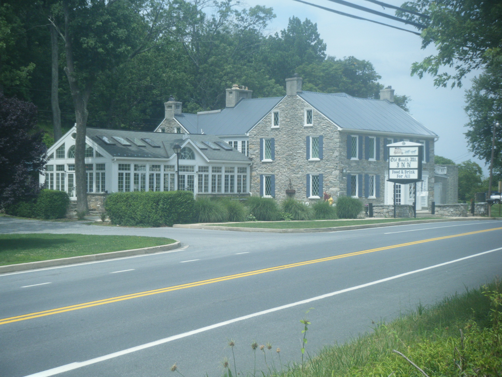
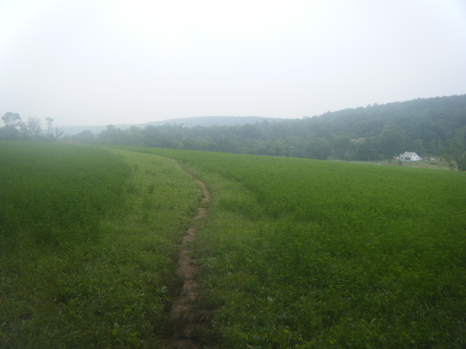
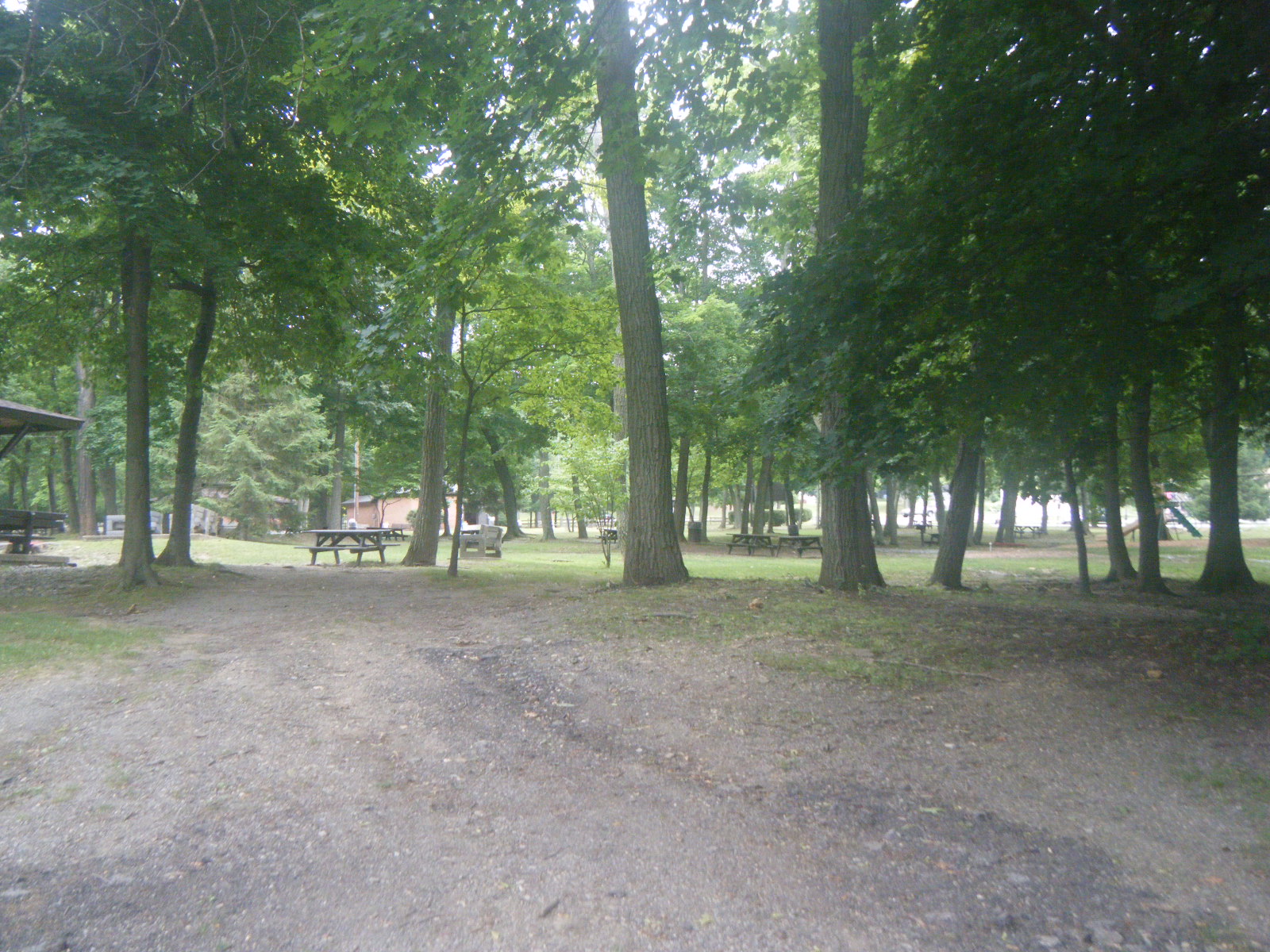
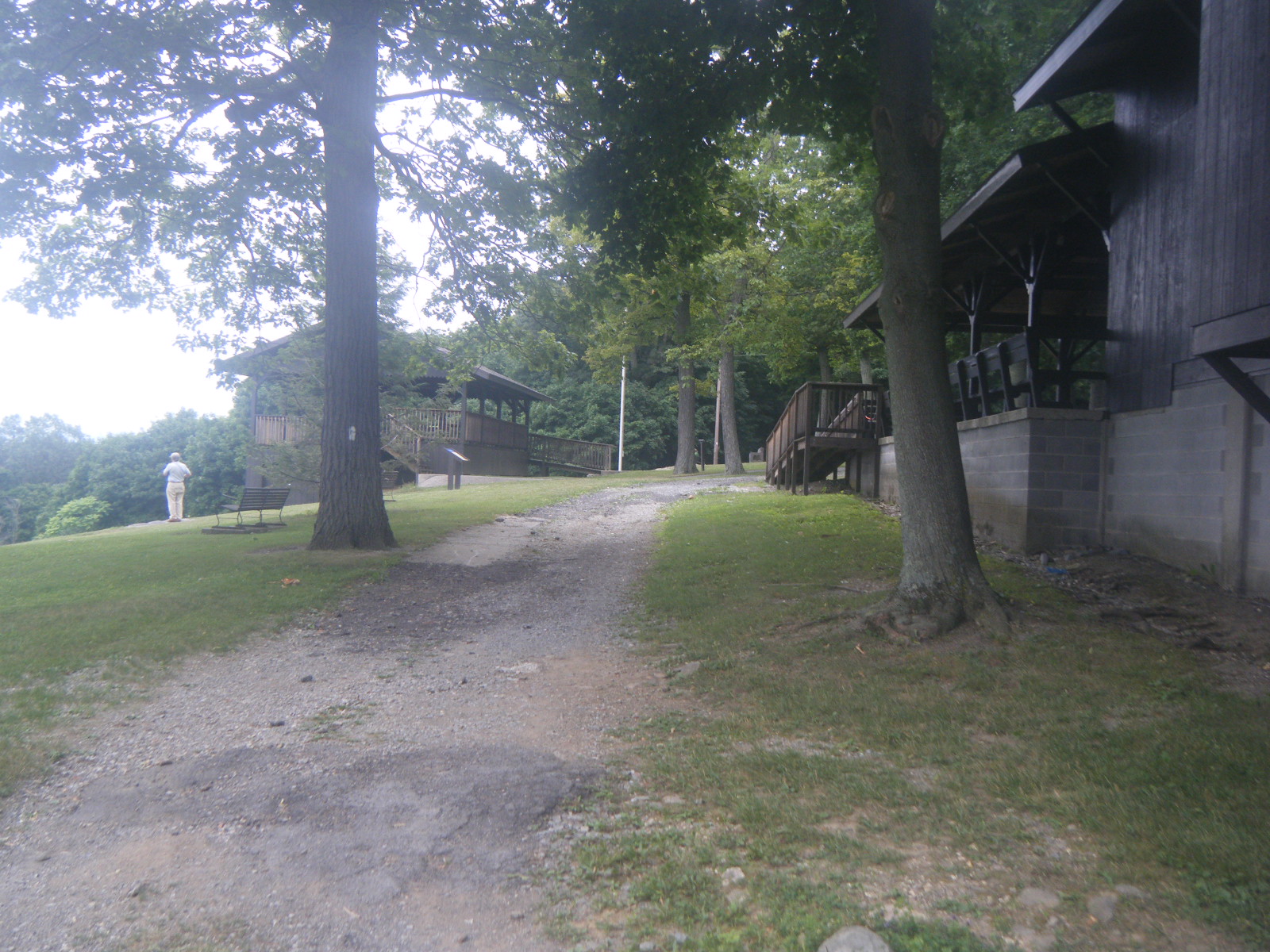
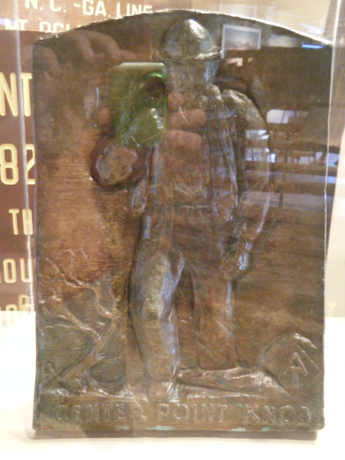
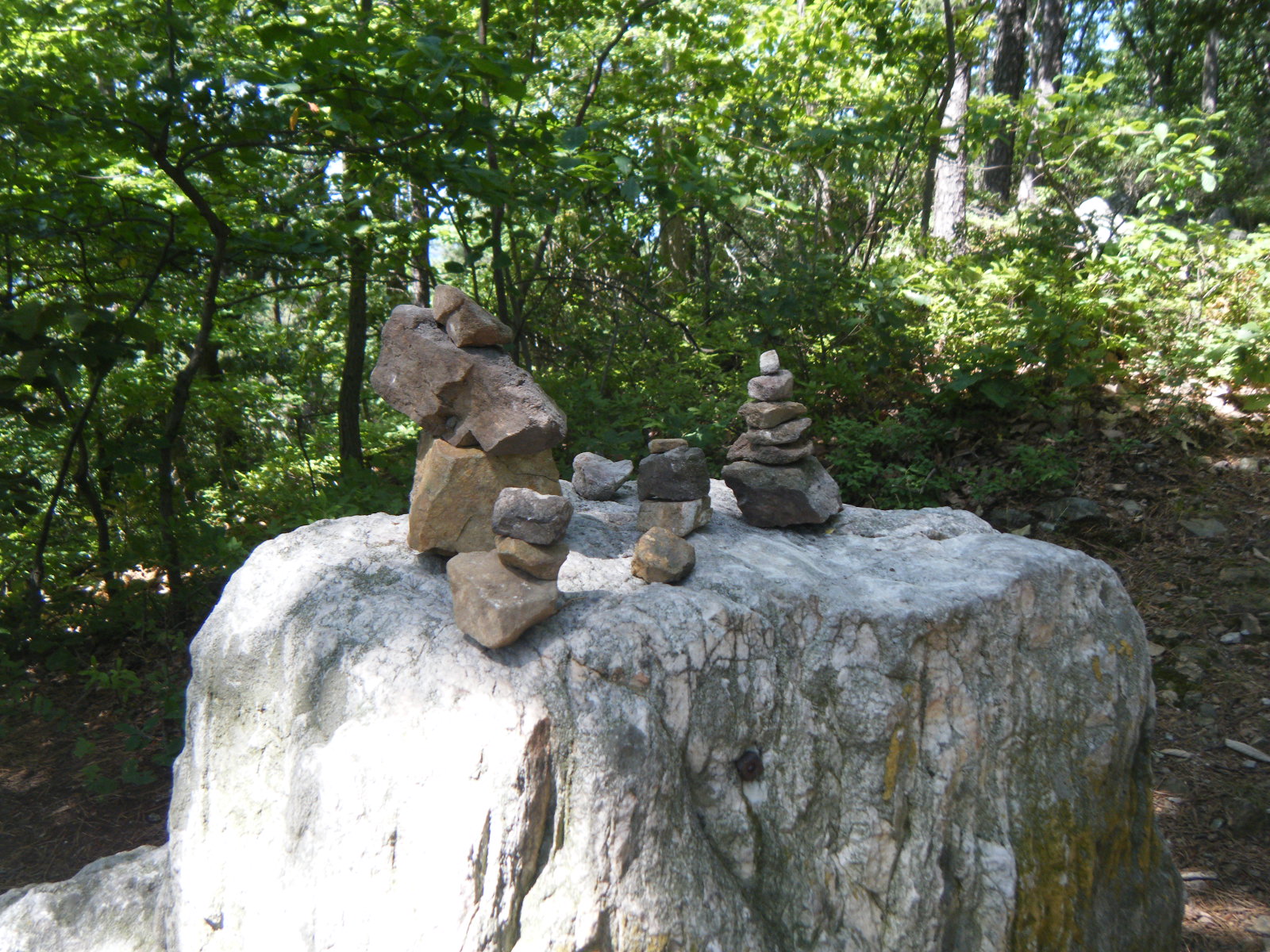
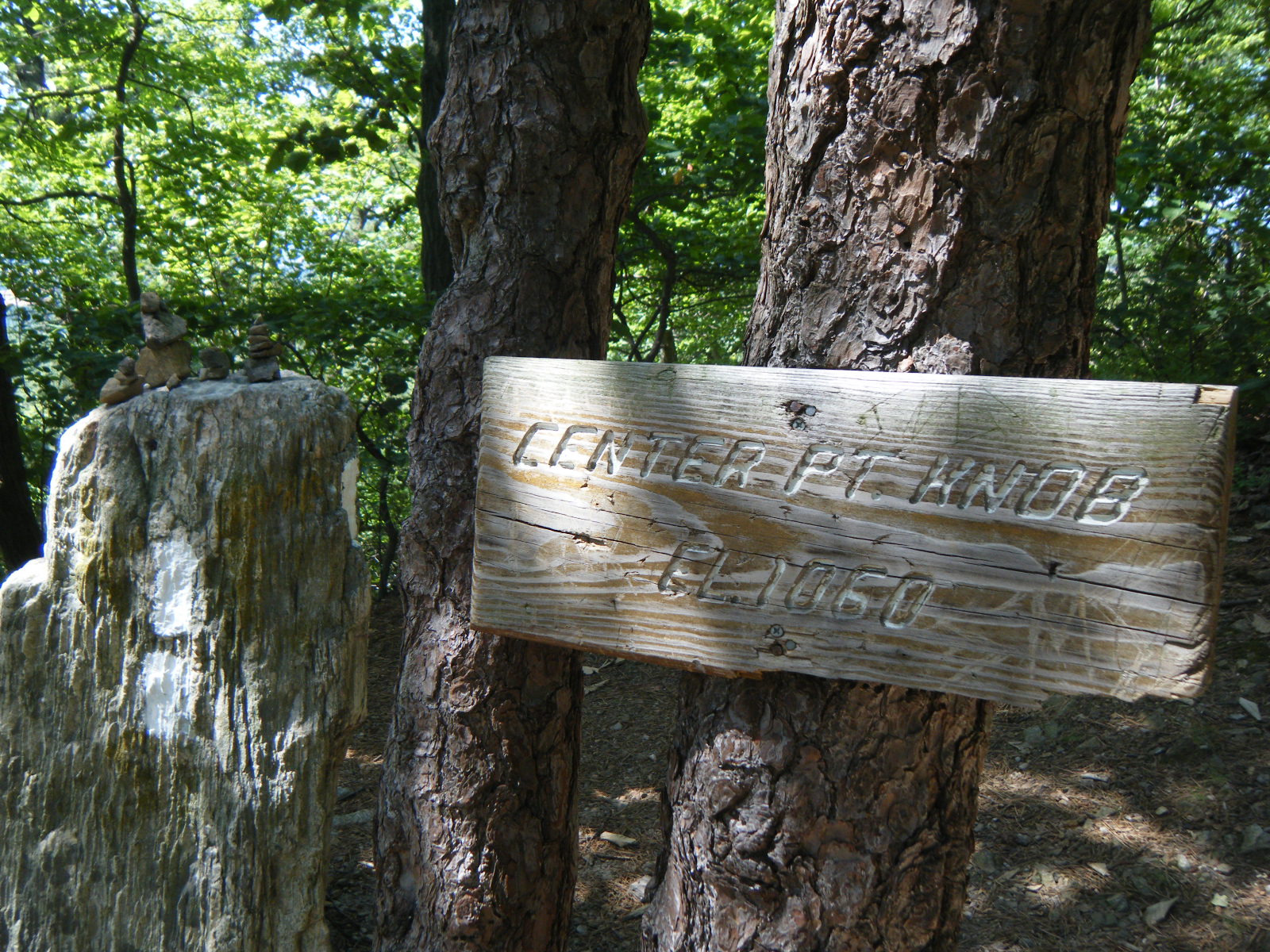
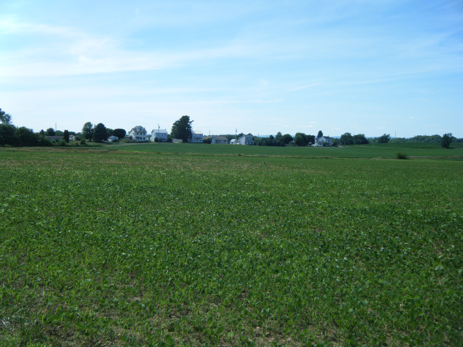
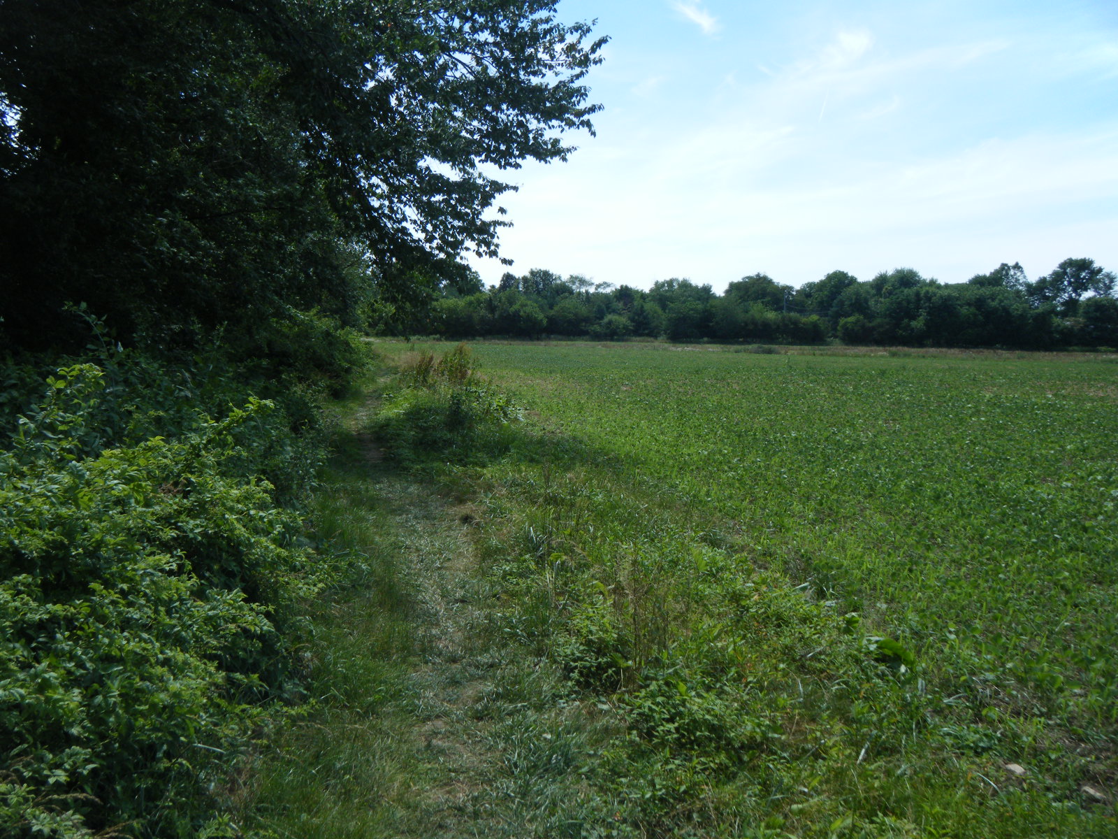
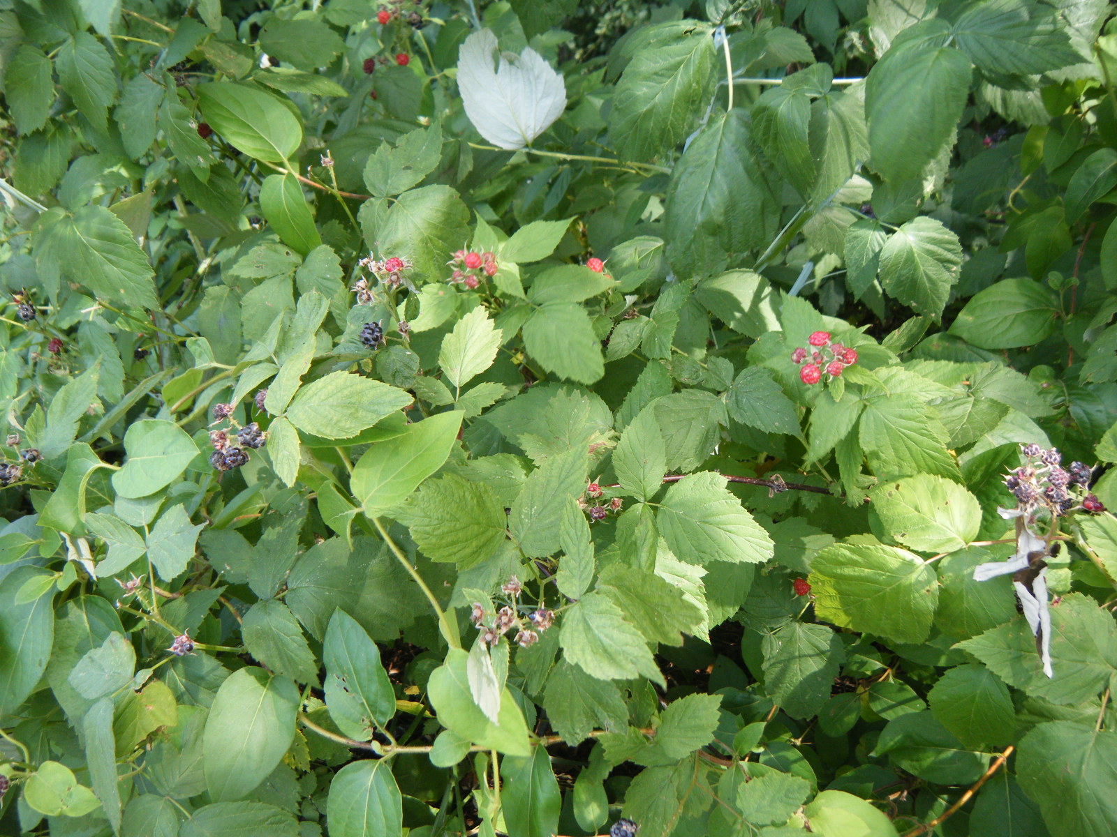
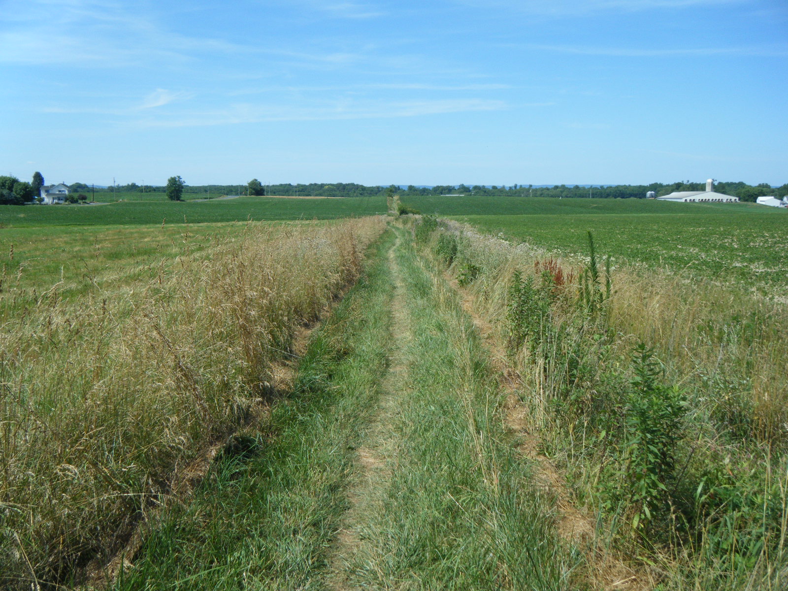
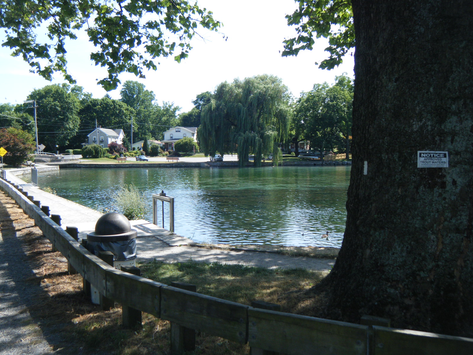
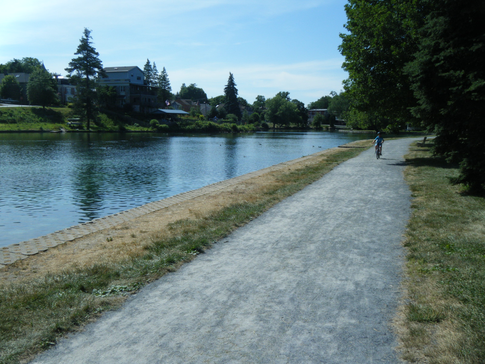
On Thursday (June 30), before I woke up, it got pretty cold at night. I had anticipated this, and had hanged my fleece jacket next to me so it’d be readily accessible if the temperature dropped. So around 4:00am I grabbed the fleece jacket and put it on, only to find that the intense humidity of the day had all condensed into my jacket, and in addition to being cold I was now also wet. I tried to ignore it and went back to sleep. By the time I woke up around 9:00am, the fleece was relatively dry. I made a mental note to keep the fleece in the bottom of my sleeping bag, or leave it in the pack overnight. When I crawled out of bed I noticed Trash Can had left a small bag of Hershey’s kisses for me before hiking out – that was nice of him. I was only planning on going 12 miles into Boiling Springs, so I took a leisurely pace to Alec Kennedy Shelter. There, I read the shelter register and someone had insisted that the single best deal for lodging on the AT was in Boiling Springs, at the Allenberry Resort Inn & Playhouse. I had been planning on tenting just outside town, but I decided to trust the testimonial and stay at the Allenberry. As such, I rushed the last 4 miles into town so that I could maximize my time at the hotel. During this rush I passed Center Point Knob, the original midpoint of the AT when it was first blazed (and was 131 miles shorter than today). As I descended from Center Point Knob I entered the Cumberland Valley, which as it turns out, is Iowa. The trail exited the woods at the bottom of the hill, then followed the line where woods met cornfield. Along this line I was pleasantly surprised to find that one side of the AT was completely lined with raspberry bushes. I munched raspberries and hiked the perfectly smooth & level terrain while thinking “Is this heaven?”, only to glance back at the cornfields and be reminded “No, it’s Iowa.” It was in this mindless bliss that I wandered off the trail and followed a tractor path for about a mile before realizing I’d gone the wrong way, then backtracked and followed the AT into Boiling Springs. Boiling Springs, by the way, is beautiful. I took some pictures of the town – see below. I walked to the Allenberry and checked in, showered, laundered, then headed to their dinner buffet. The buffet was $15 (for hikers) and it was the sort of place where older couples attend in their Sunday best (also, there’s a dirty hiker in the corner). I had six plates of food, including but not limited to, salami, cheese, crackers, an orange, corn, mashed potatoes, roasted squash, zucchini, and carrots, salad, pasta salad, olive salad, turkey, prime rib, and cinnamon rolls. I drank orange pekoe tea and champagne. I waddled out the door.
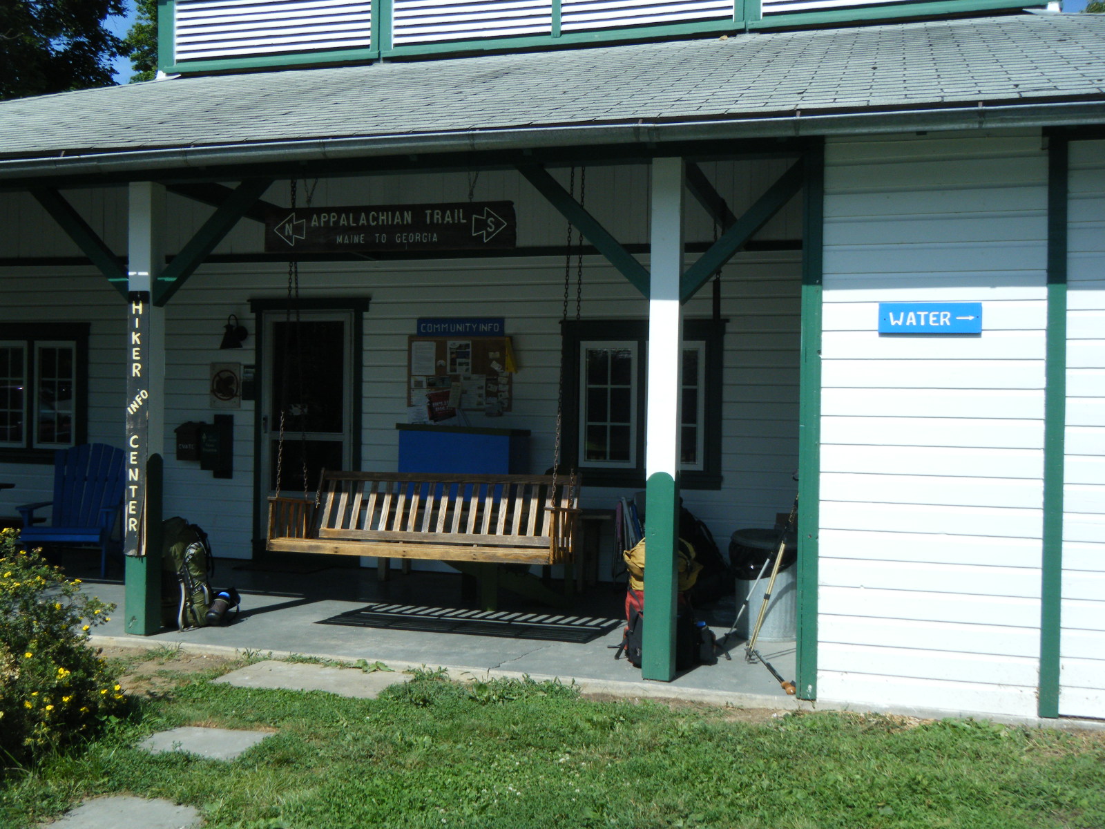
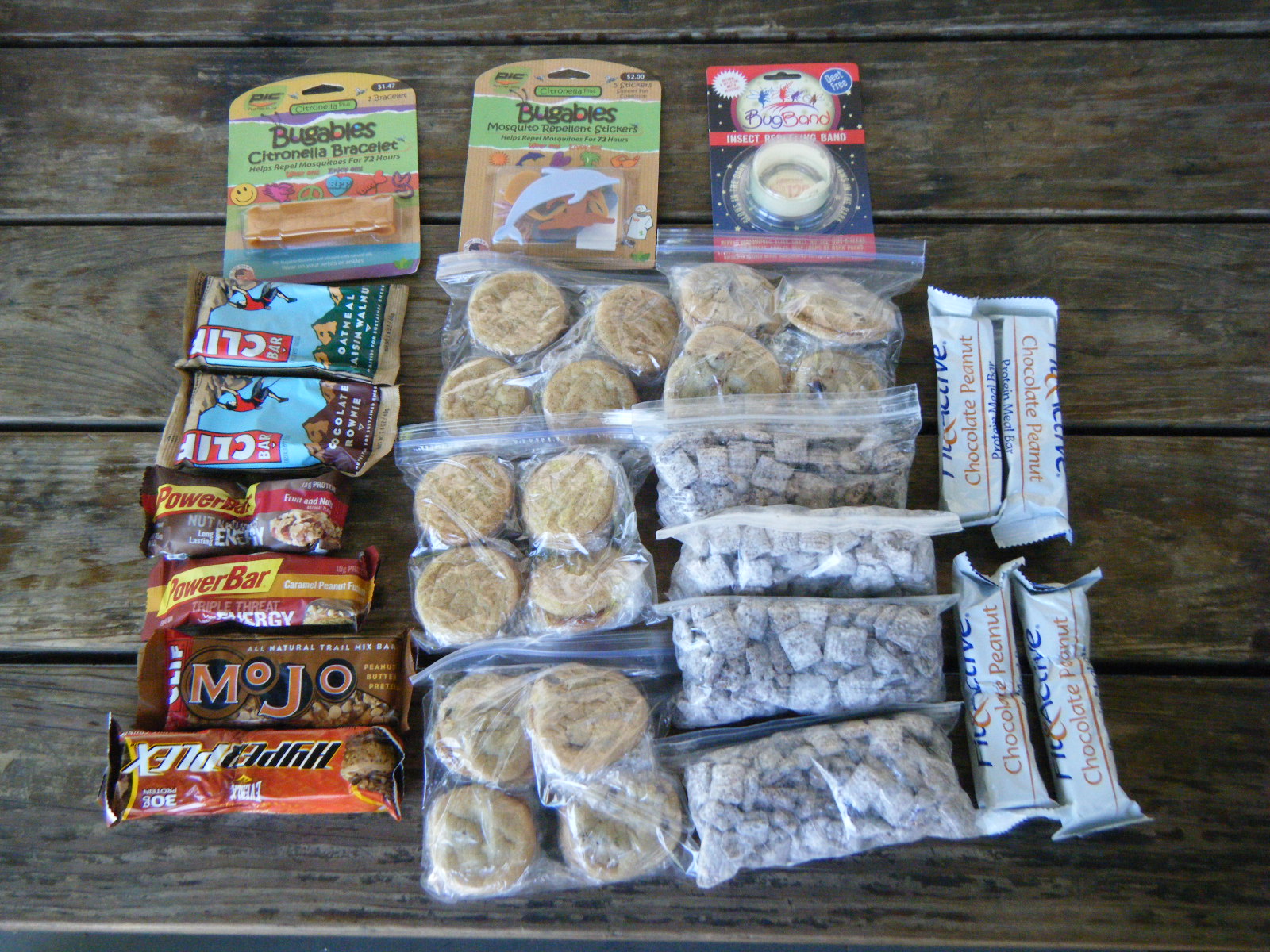
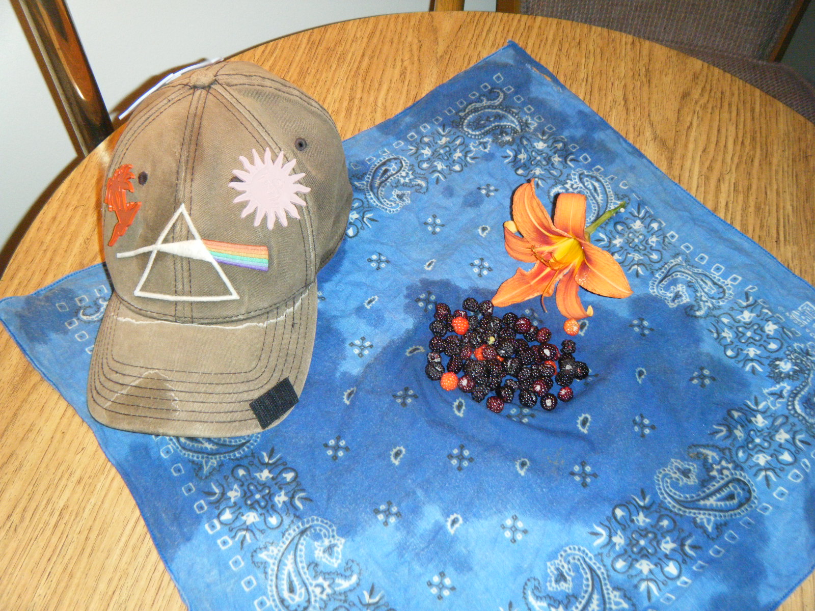
Friday morning (July 1) I had to meet Holly in Carlisle so I awoke at a reasonable hour and headed to the post office to pick up any mail drops I may have received. I got a USPS medium flat rate box from Two Rivers Bank & Trust, so I went next door to the ATC regional headquarters (and hiker loitering zone) to open it. I was delighted to find an assortment of protein bars, home baked cinnamon and chocolate chip cookies, four bags of puppy chow (Rice Chex with chocolate and powdered sugar), and a few bug repellants. I had needed to resupply for at least 1 day’s hike but hadn’t yet done so, so the care package saved me the trouble. Not to mention, I got cookies and puppy chow. Thanks TRB&T! As for the bug repellants, I hung one bracelet on my pack and put the stickers on my hat. The citronella bracelet I tried valiantly to get over my hand, but ended up giving it to Pixel since she could fit into it. Even if these things do nothing for the bugs, they’re lemon scented so they’ll at least cover the smell a bit. While repacking, Mladen and Handstand* showed up. I was surprised to see Handstand because I thought he was still at least a day ahead of me. It turns out Jackrabbit got Lyme disease and Handstand zero’d with him for a bit while he was seeing doctors. Handstand hiked on, but Jackrabbit hung back ’til the antibiotics took effect and he regained his strength. Jackrabbit’s probably about two days behind Handstand. I socialized at the ATC regional HQ for a bit, then Handstand and I hiked on to Carlisle. Along the way I picked a bunch of raspberries and mulberries as a present for Holly. Handstand picked the same as a present for his taste buds. Once we reached US11, I headed West to America’s Best and Handstand headed East to the truck stop diner. Holly flies back to Iowa on Monday, so that’s when I hike out.
*Handstand used to be called Bearbait. He is the German fellow with the blonde dreadlocks and tattoos. He posed for a picture at McAfee Knob by doing a handstand on the edge, and the rest is history.


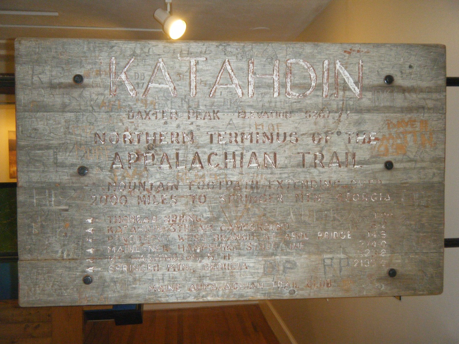

Hey Pink Floyd. I’ve been following your journey and I think it’s awesome. I’m a bit envious, well maybe a lot. My friend and I met you on the AT at the halfway point near Pine Grove. My friend, Ole Blue, took your pic at the marker. You may not remember us but we sat a spell at the store when you were finishing up your ice cream. We’re just doing section hiking and I know it’s not the same at all but still very rewarding. We do a lot of backpacking countrywide but there’s just something special about the AT. I just wanted to wish you well and hope you have a truly memorable experience. Hey – you’re quite the fly catcher too! Now that takes real skill. Tell Trash Can that the AT museum folks were puzzled by how their Hershey Kiss supply got depleted so quickly (chuckle). Stay well and I hope to see your pic on Katahdin in September!!! (BTW: Truly awesome background/banner photo of you on the outcrop) — RockDog
Andrew, LOL! Your care package was from some of us in the Trust Department. As soon as I sealed the box, I realized that I hadn’t told you who it was from.
It was Lori, Marlene, and I, and thanks to my daughter who baked cookies that day. She said, “These are Cookies for the Mountain Man!” Hope you enjoyed everything! We sure enjoy reading your stories! Take care of yourself and stay safe! Lisa
1/2 way boy that is great!!!!!! By the pictures you maybe heading in the best part of the AT . Well I hope you & Holly have a very good time.I also hope you get to eat,rest,lots of water!!!! Then on the road again maybe it will cool down for you & your gang of friends but forget the sicko you know what I mean??? We miss you like all the rest of the family.But we are all behind you,We know that you can do it just hope the worse is behind you.Going to Quincy tomorrow I am taking all your AT message with us to give to my brother & sister in law. For I can not tell it like you can.I will give her your site too for she has a computer But it is back in the 1900’s.Love grandma & pa
“diagnosed their broken computer (bad video card)”
Jesus, we just can’t get away from it, can we? :-)